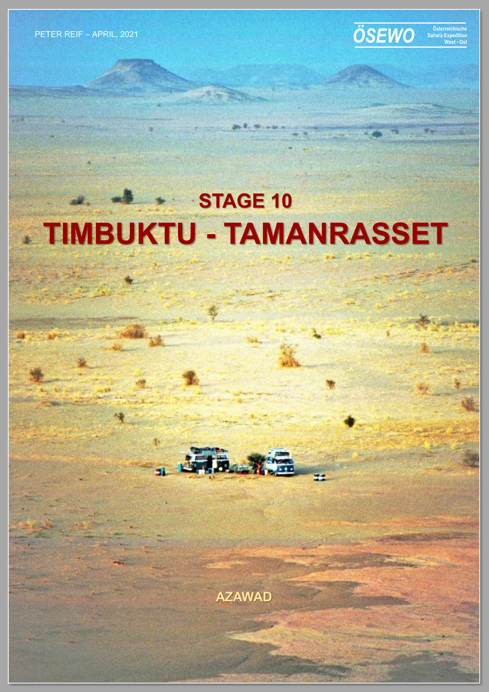
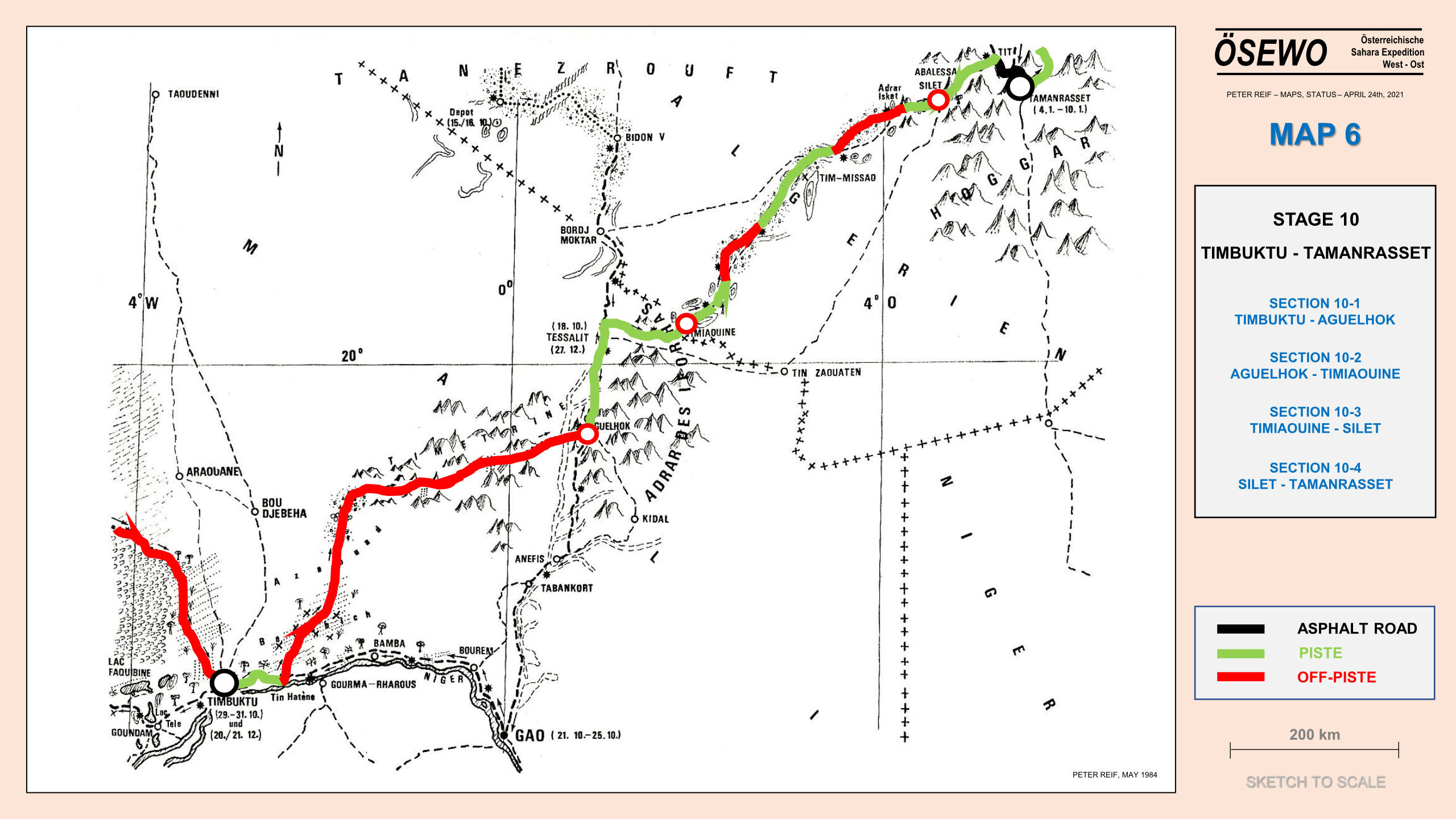
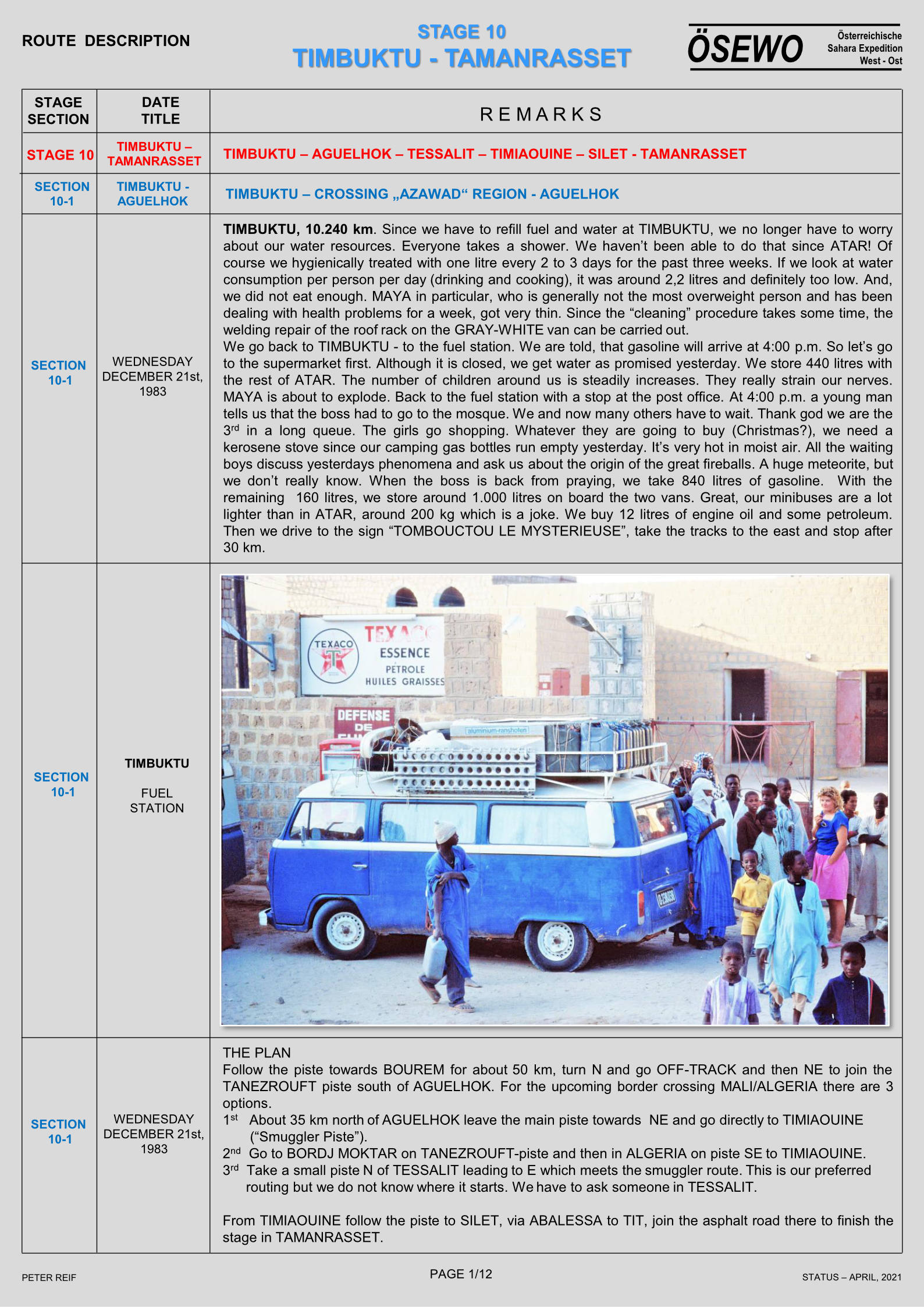
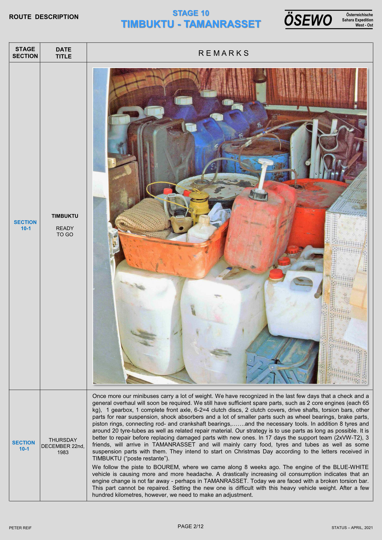
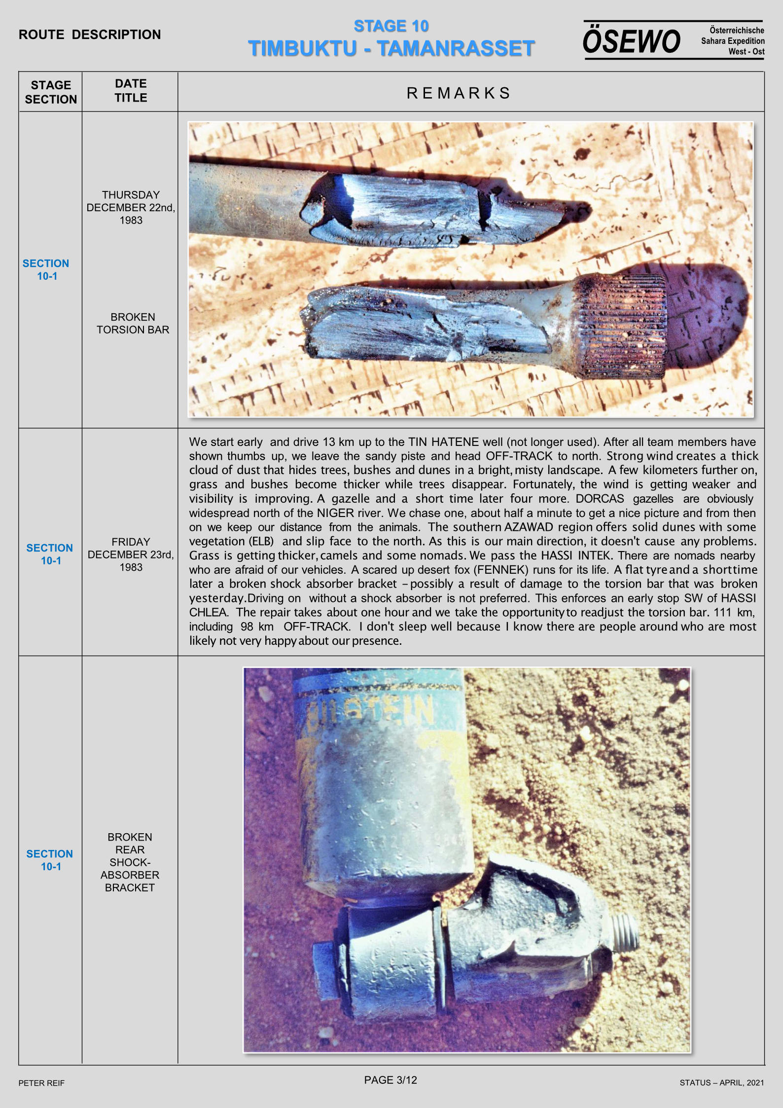
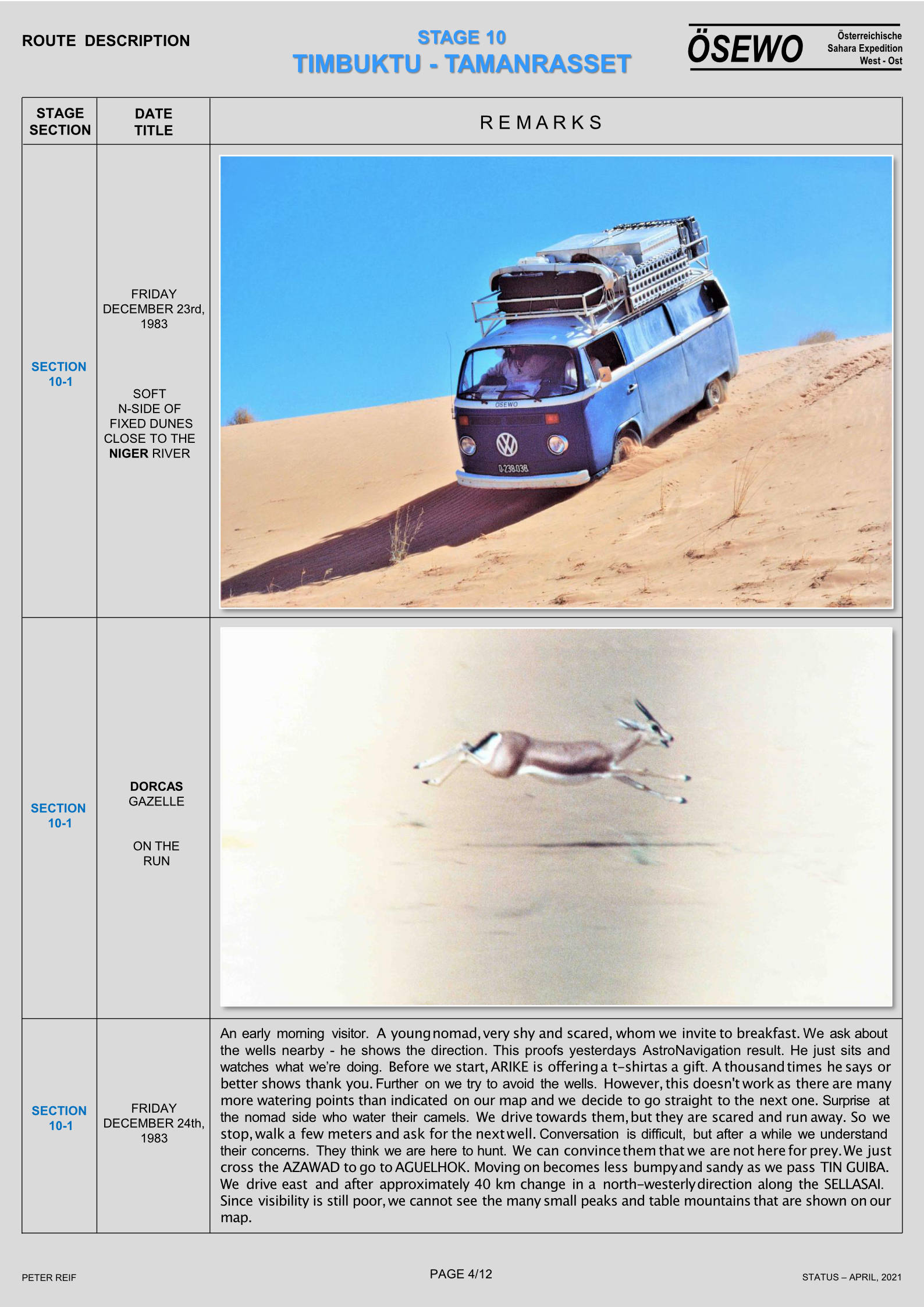
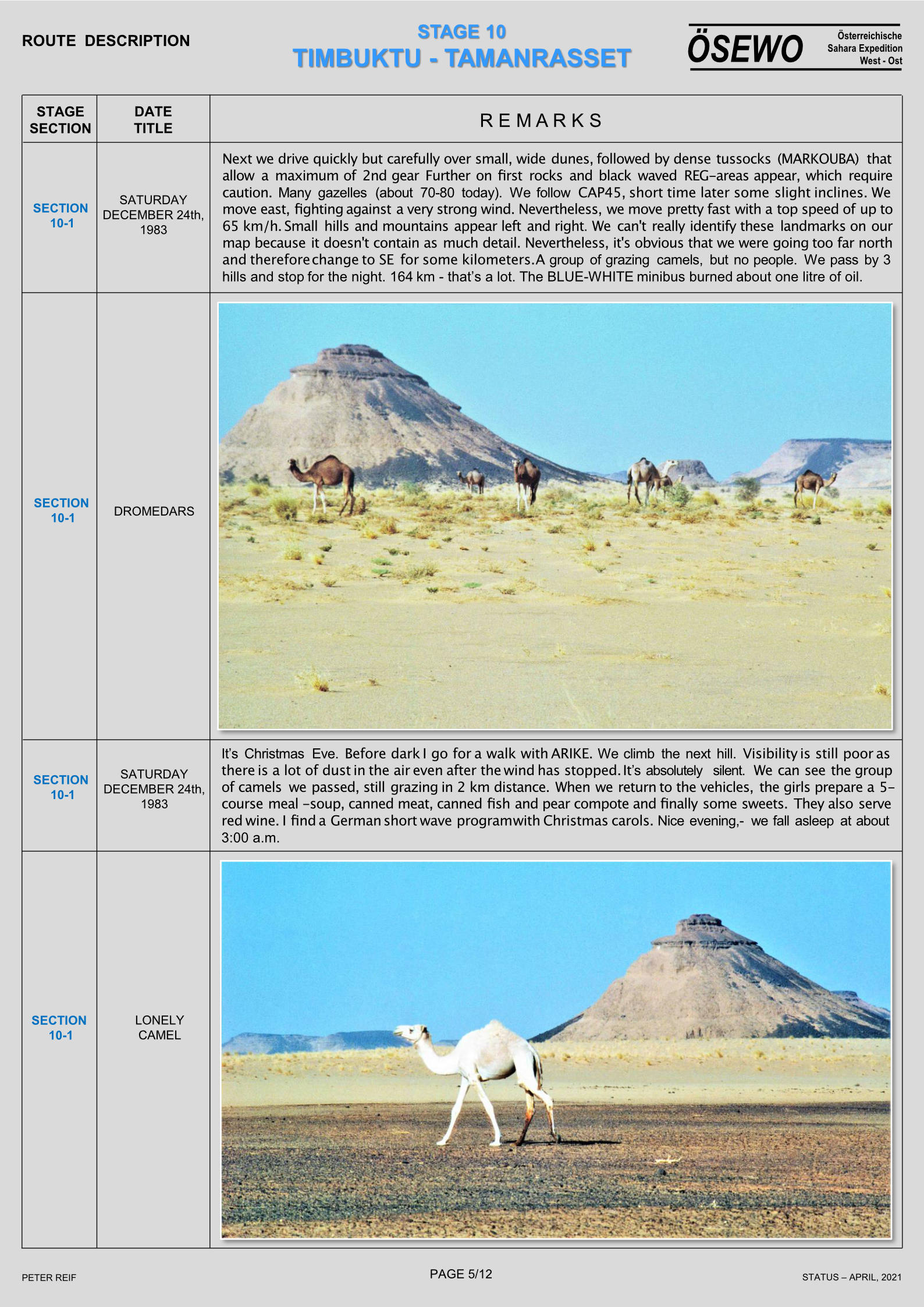
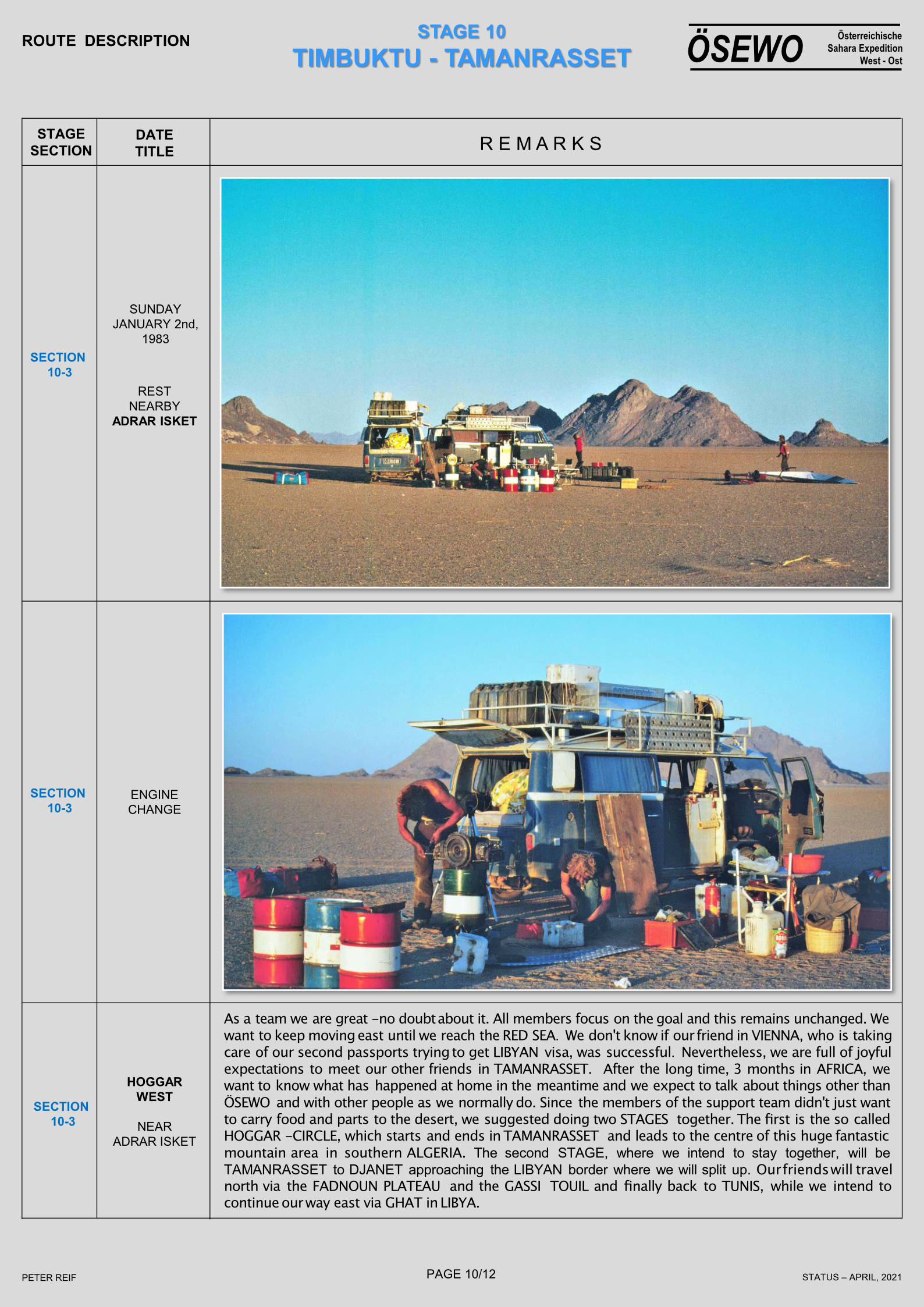
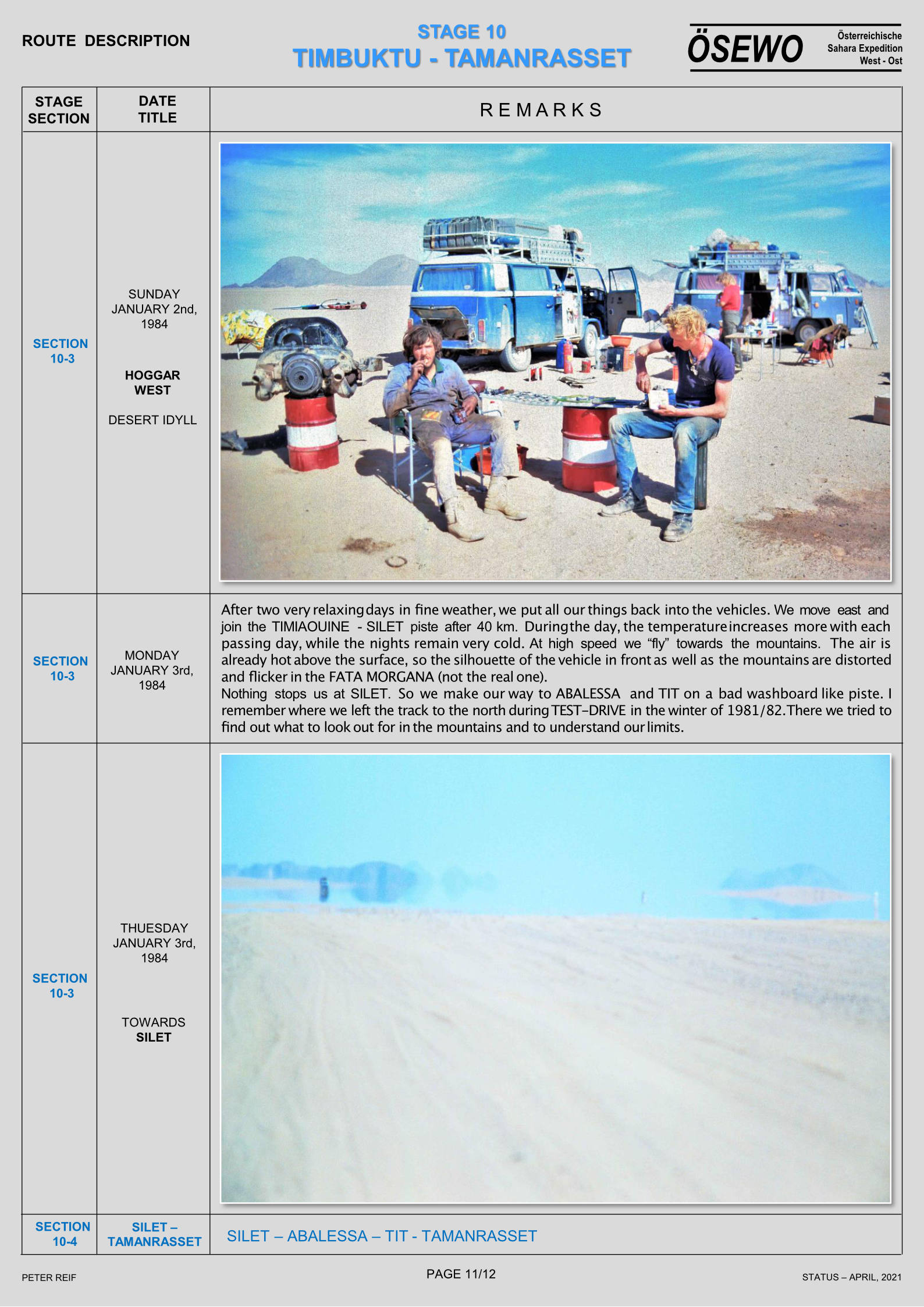
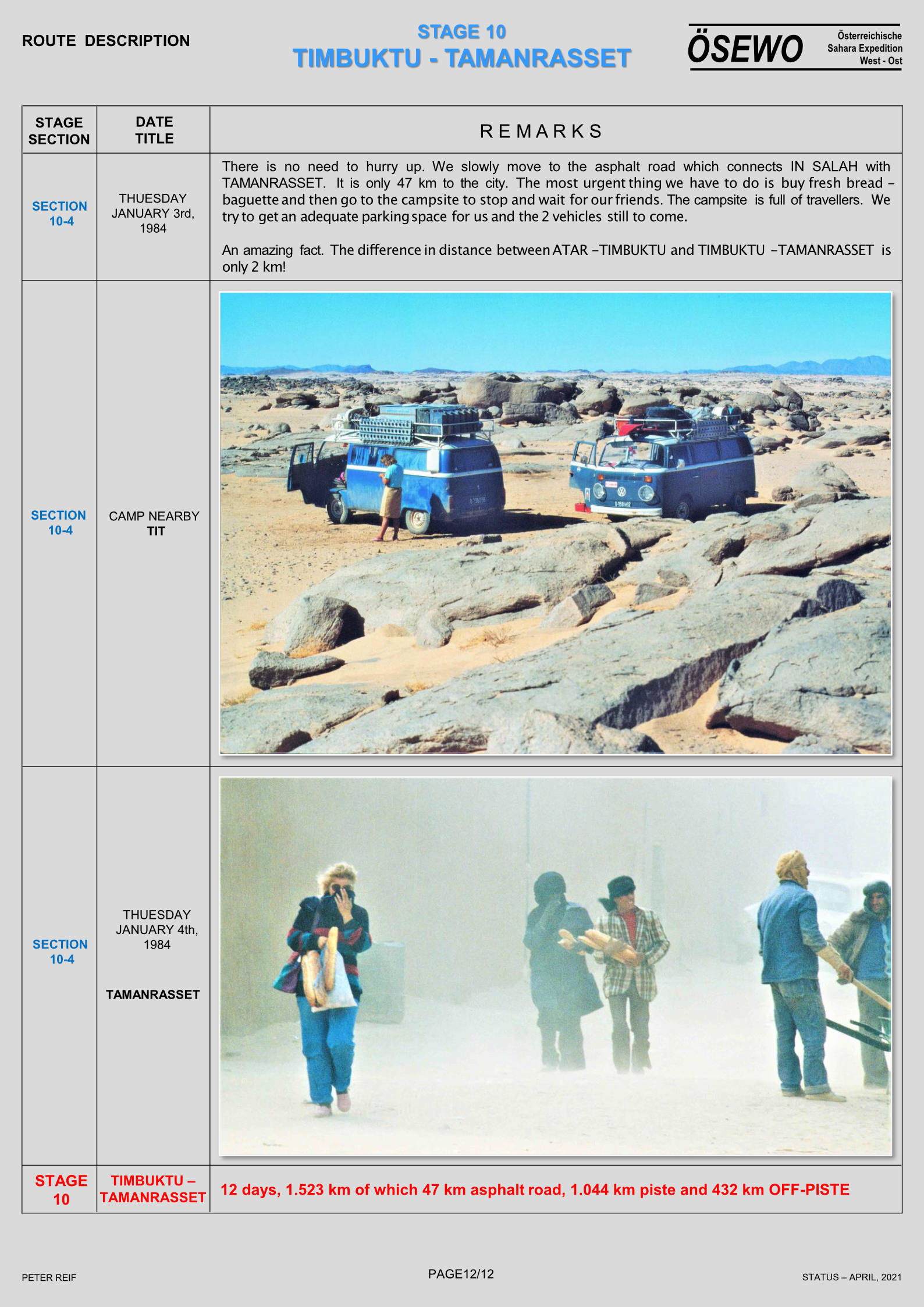
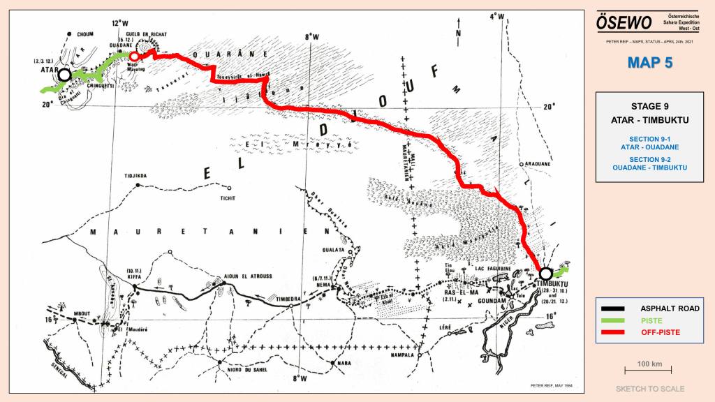
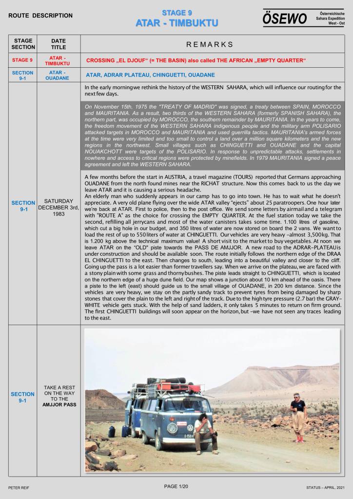
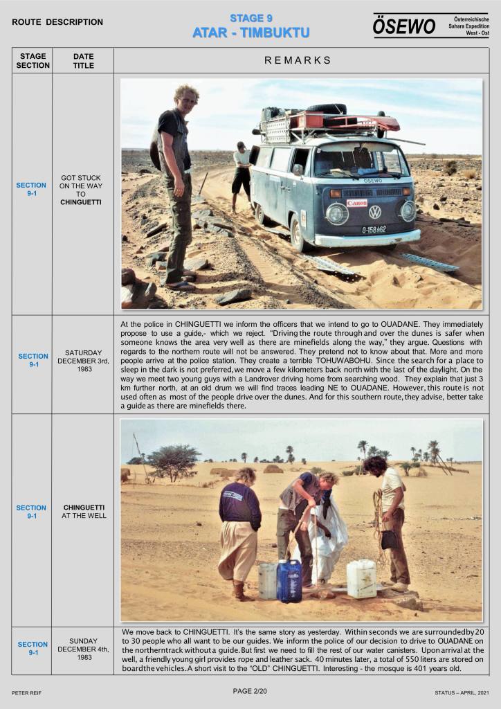
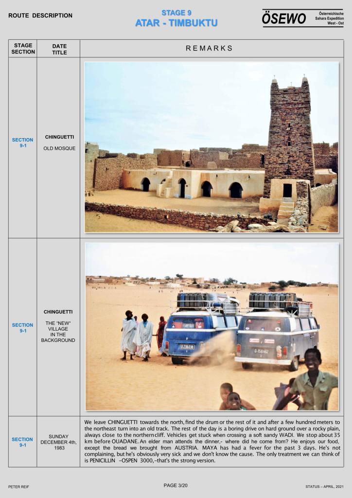
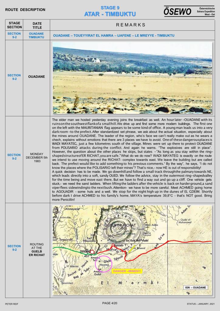
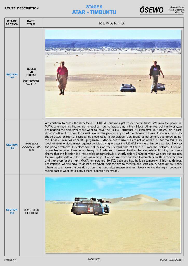
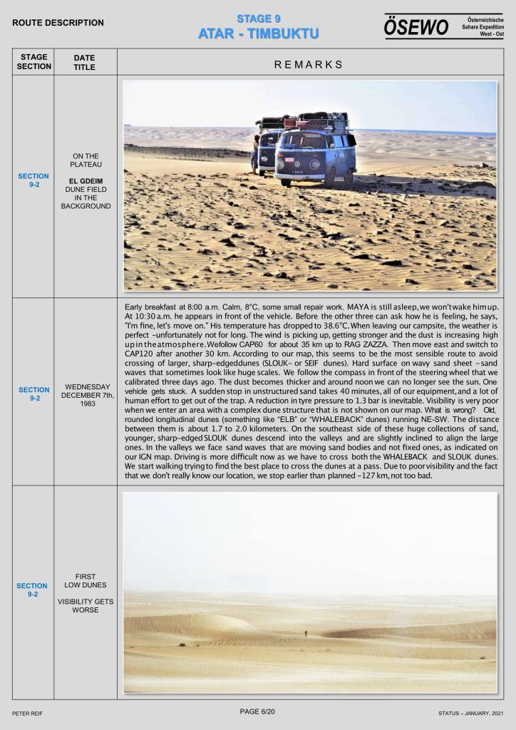
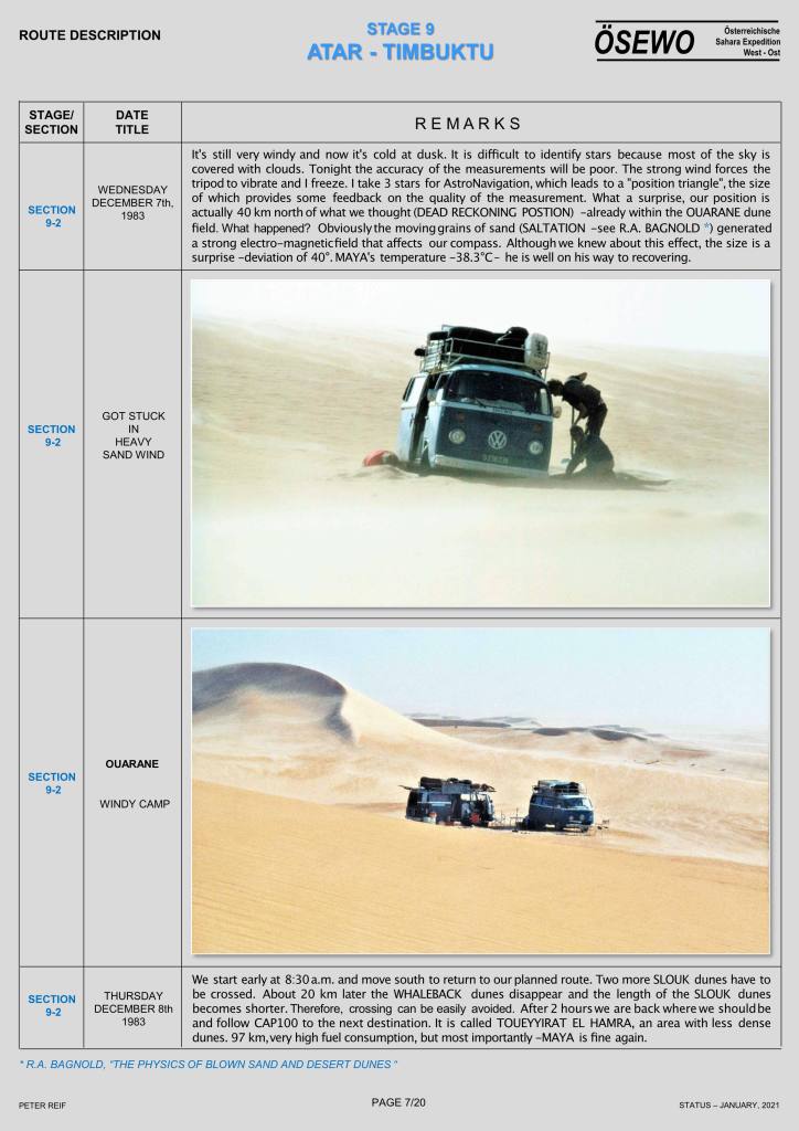
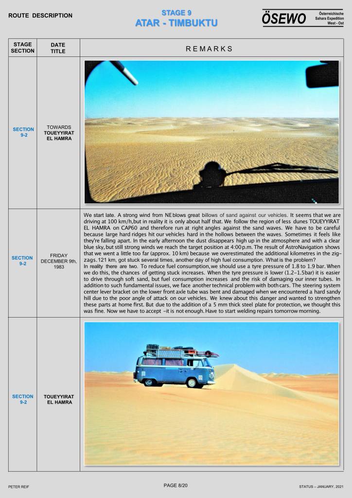
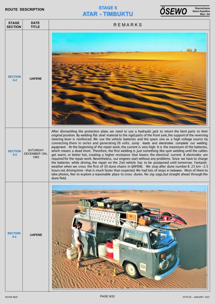
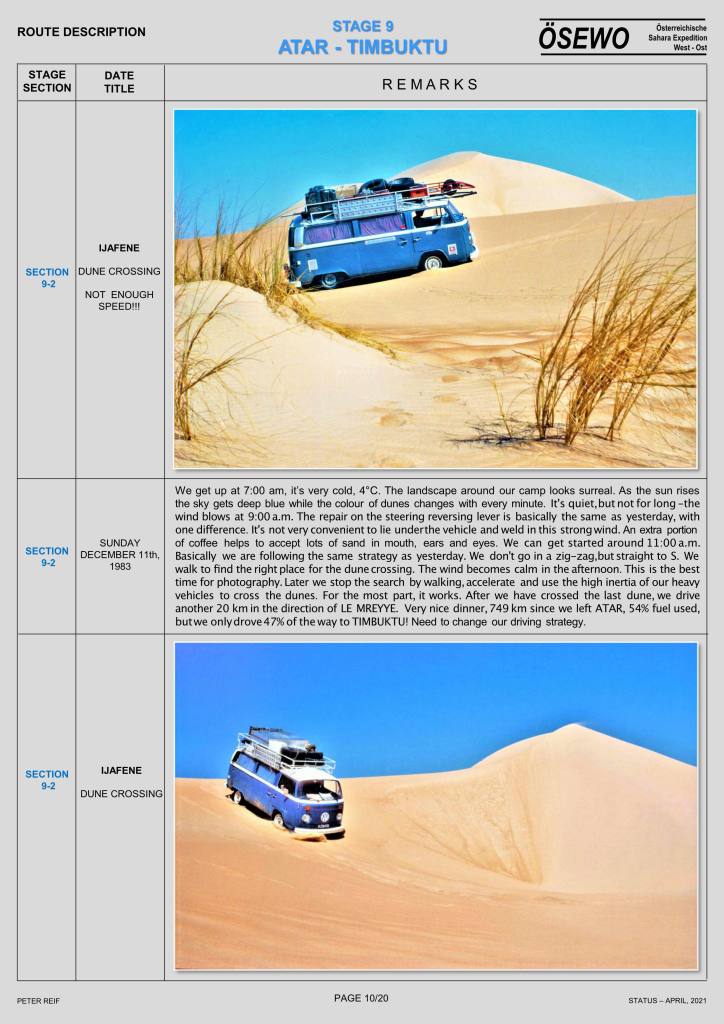
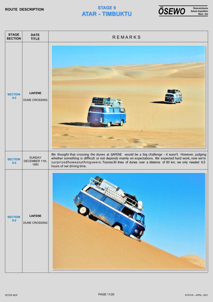
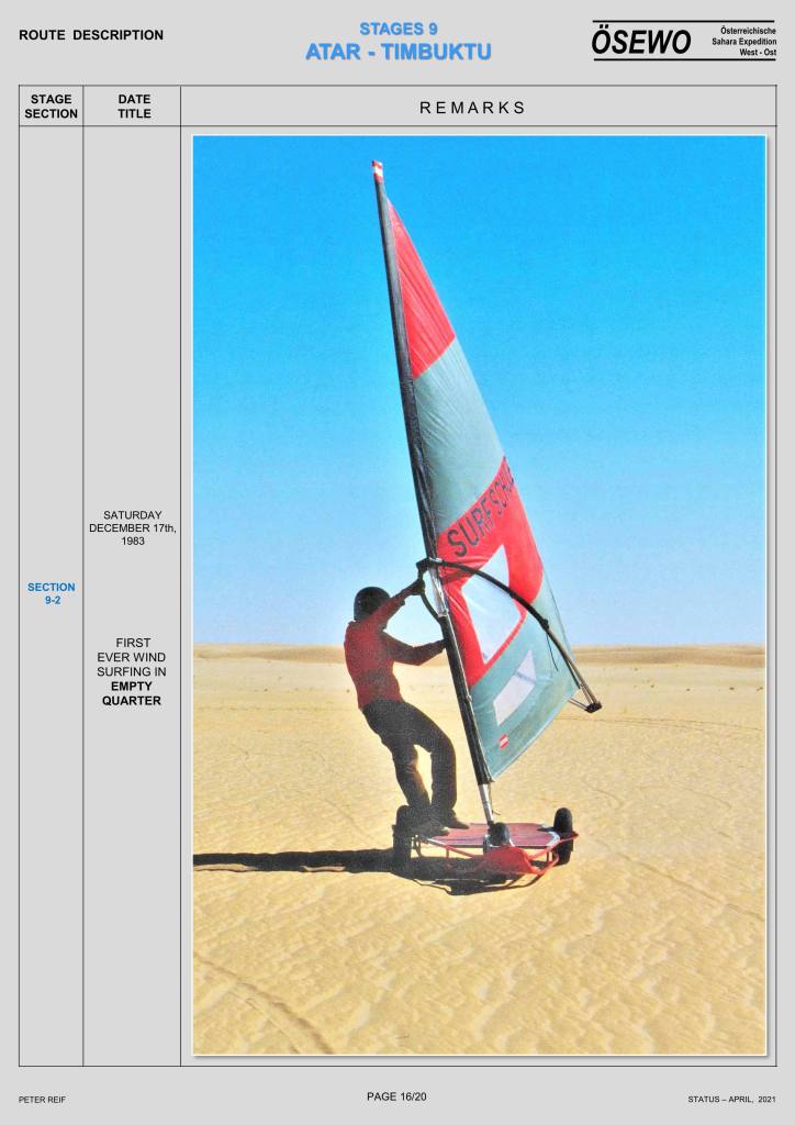
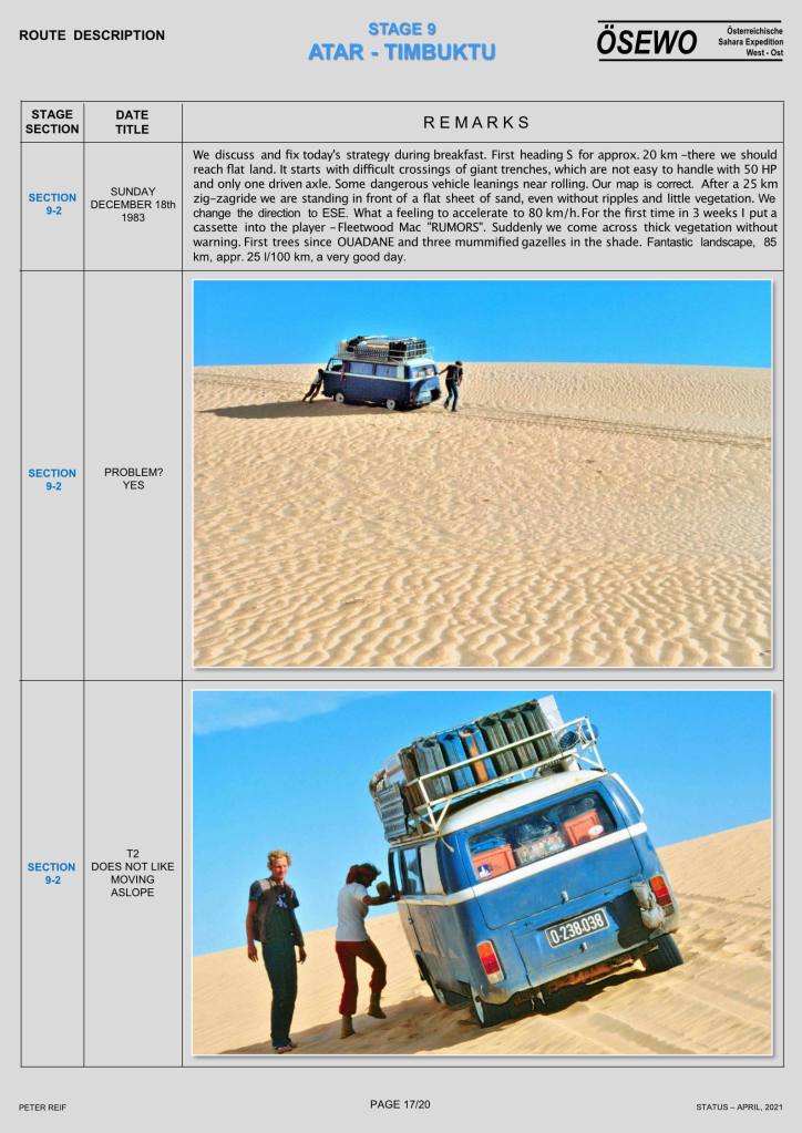
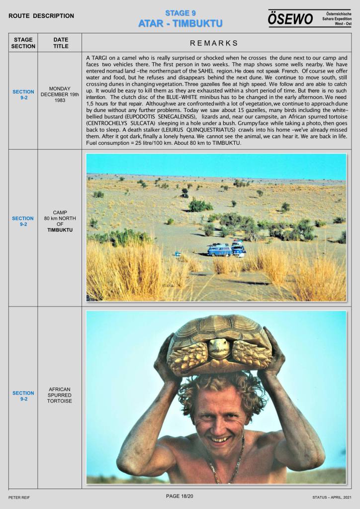
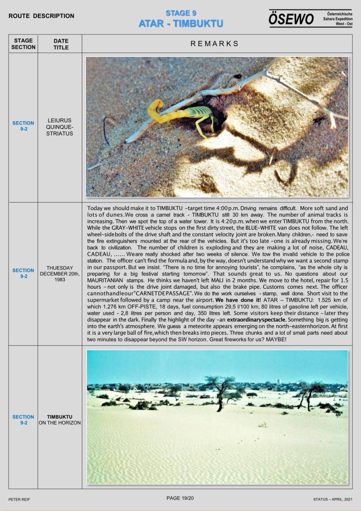
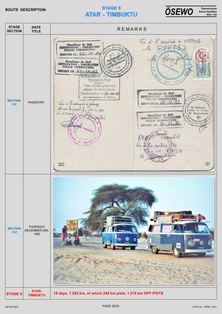
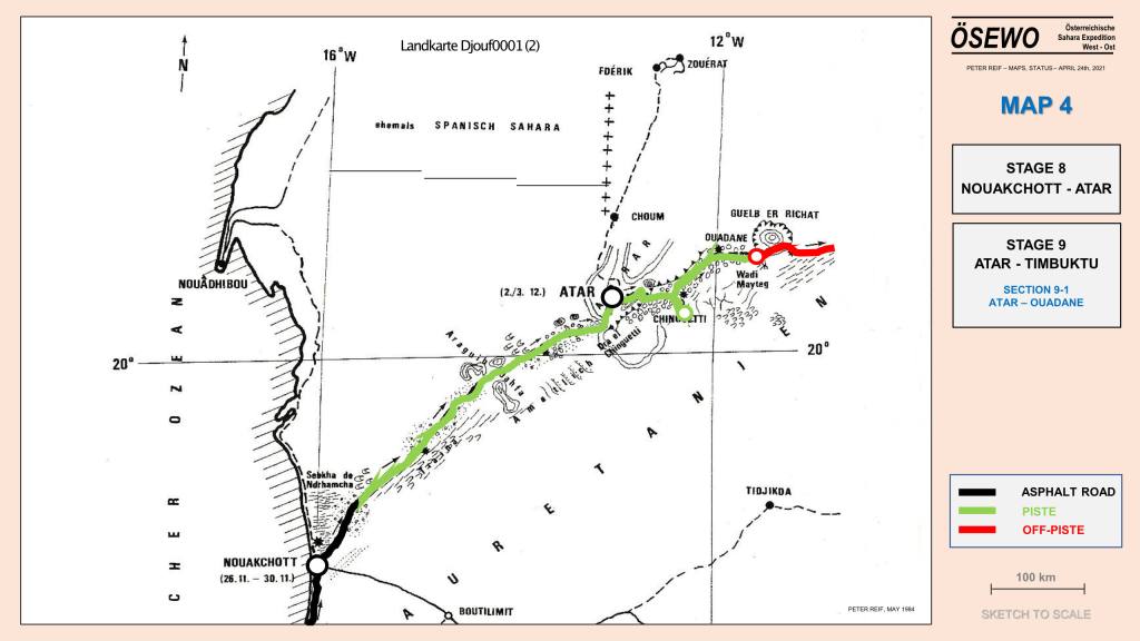
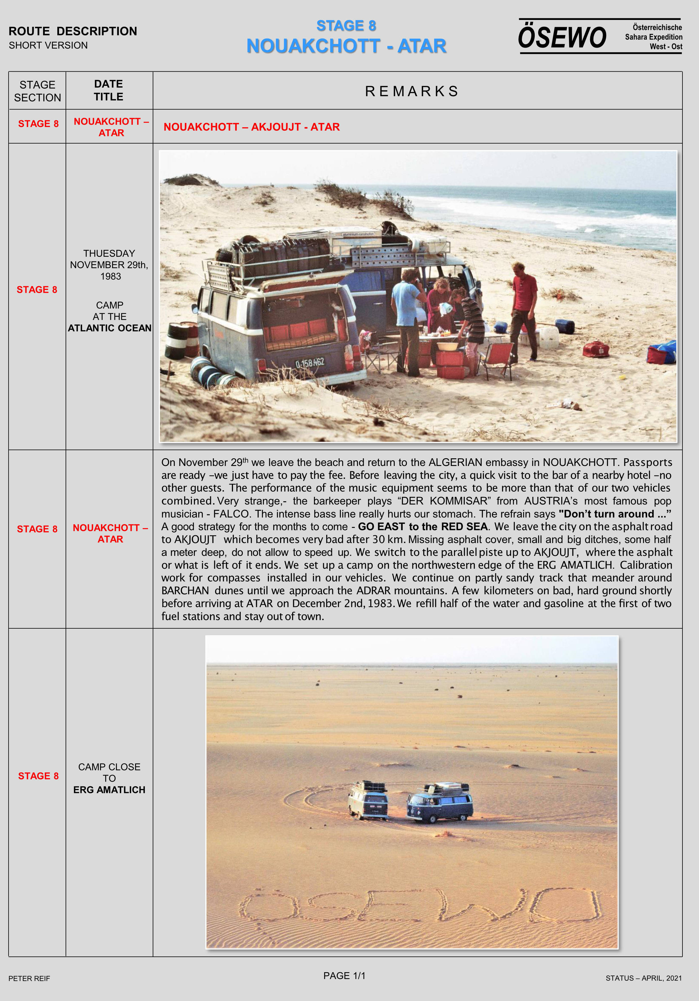
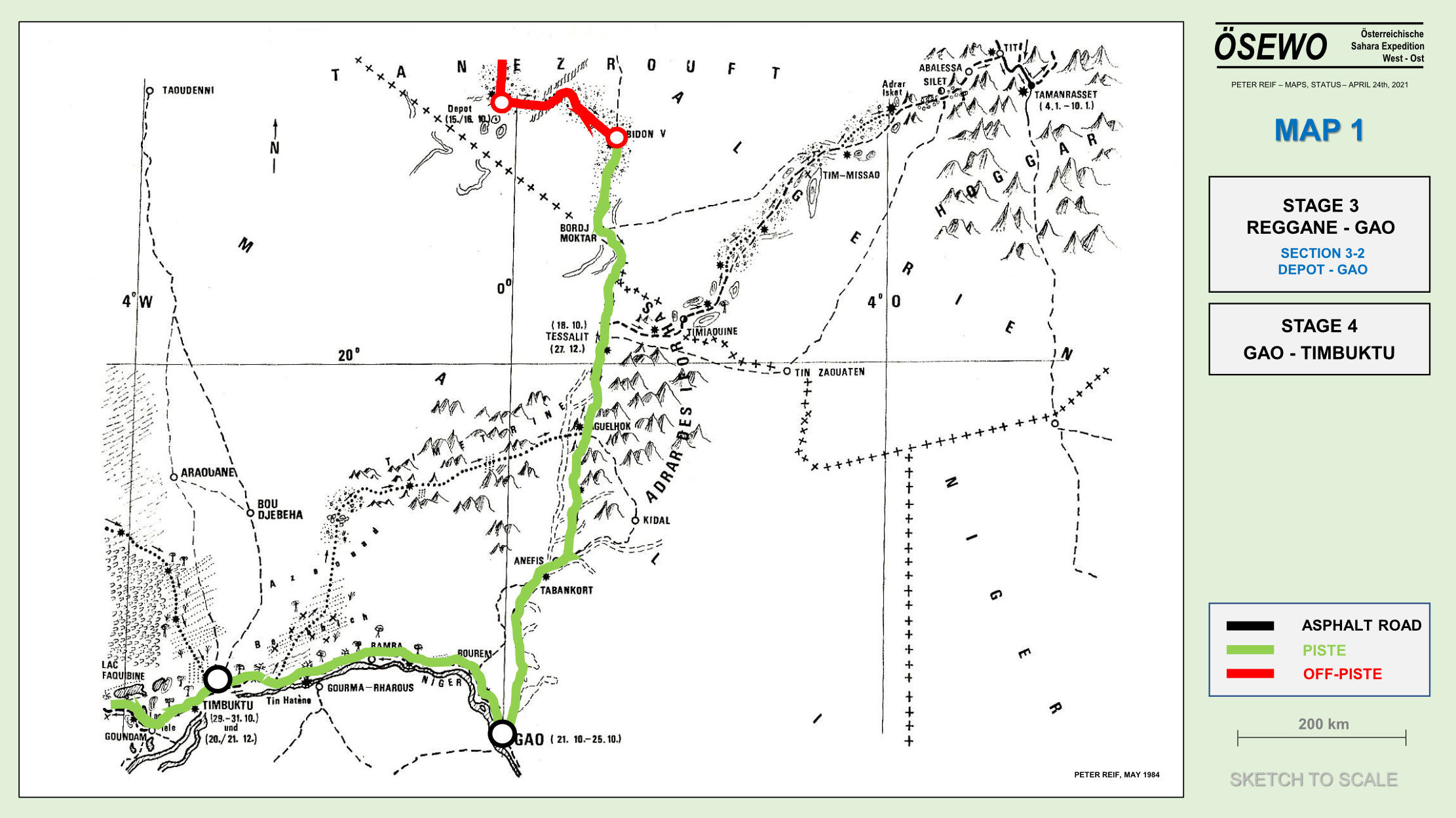
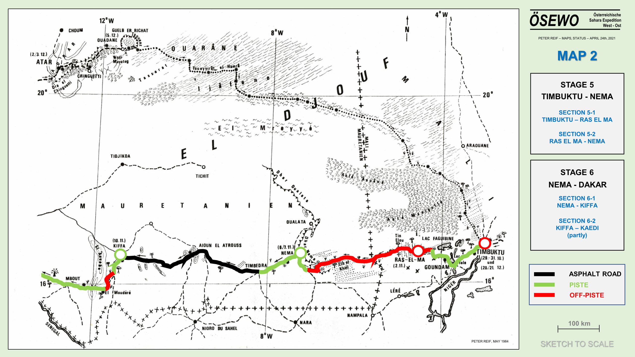
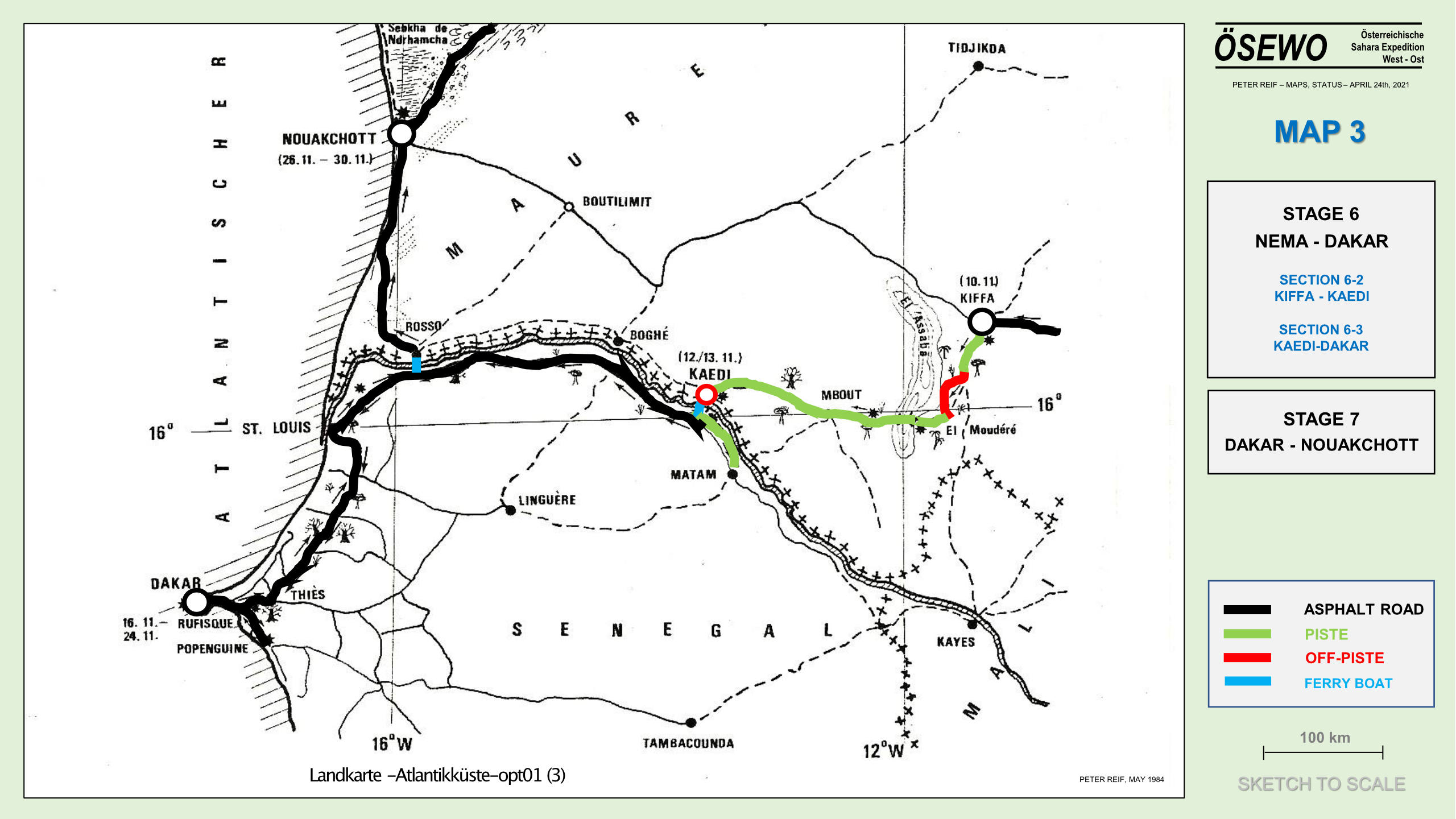
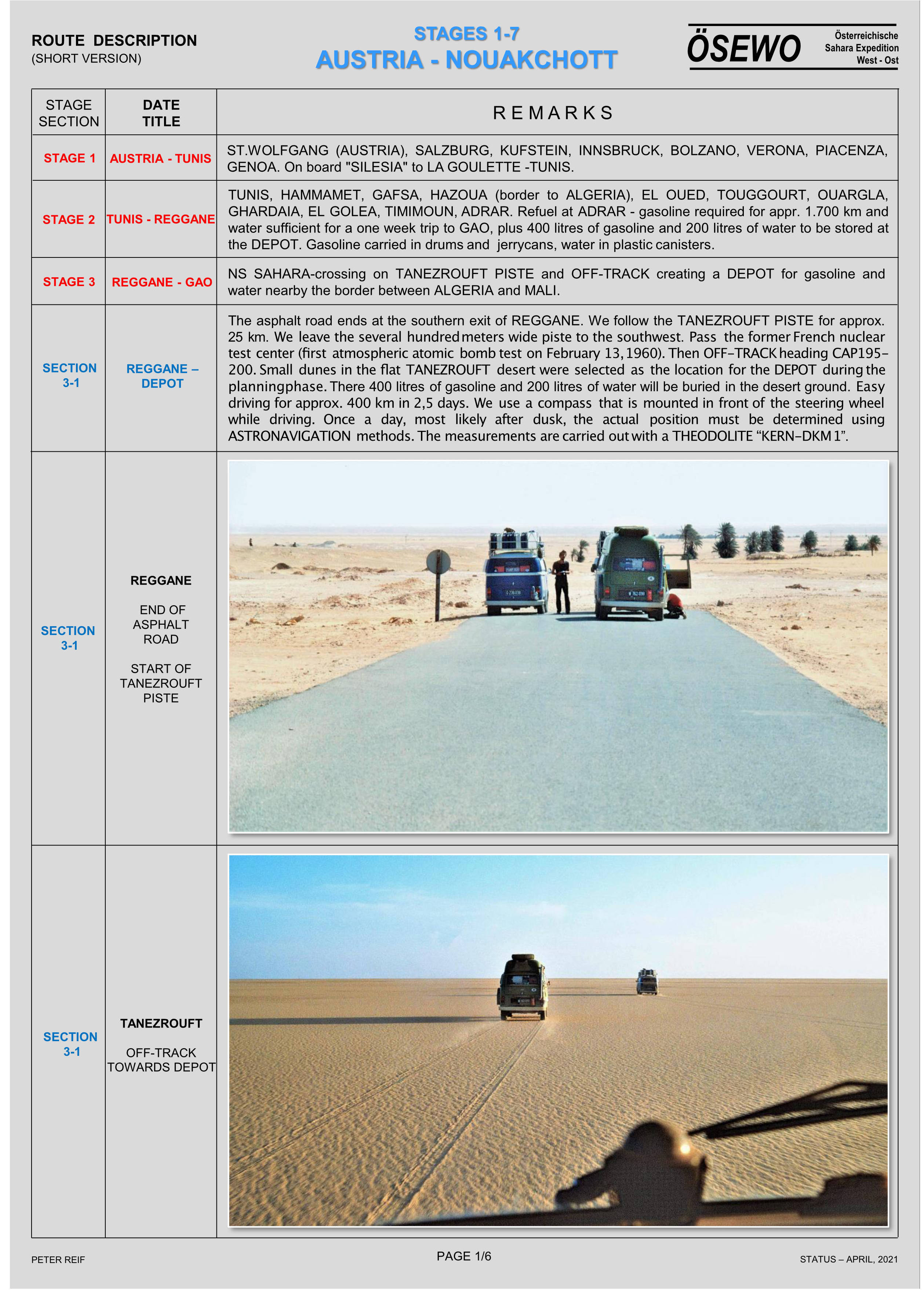
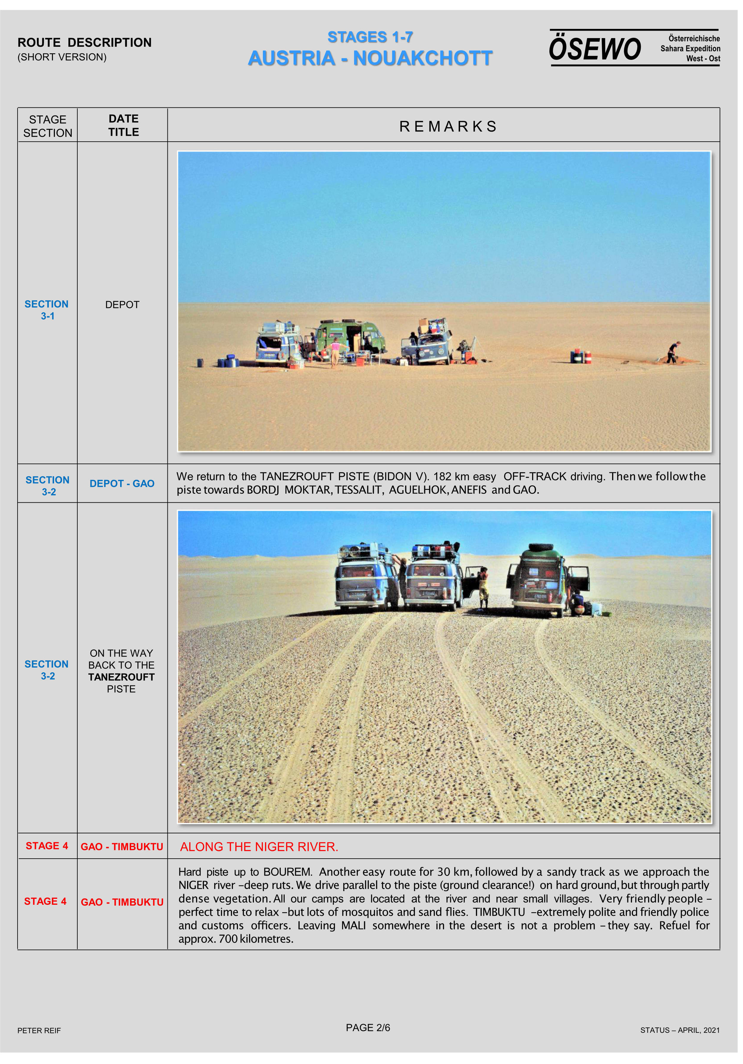
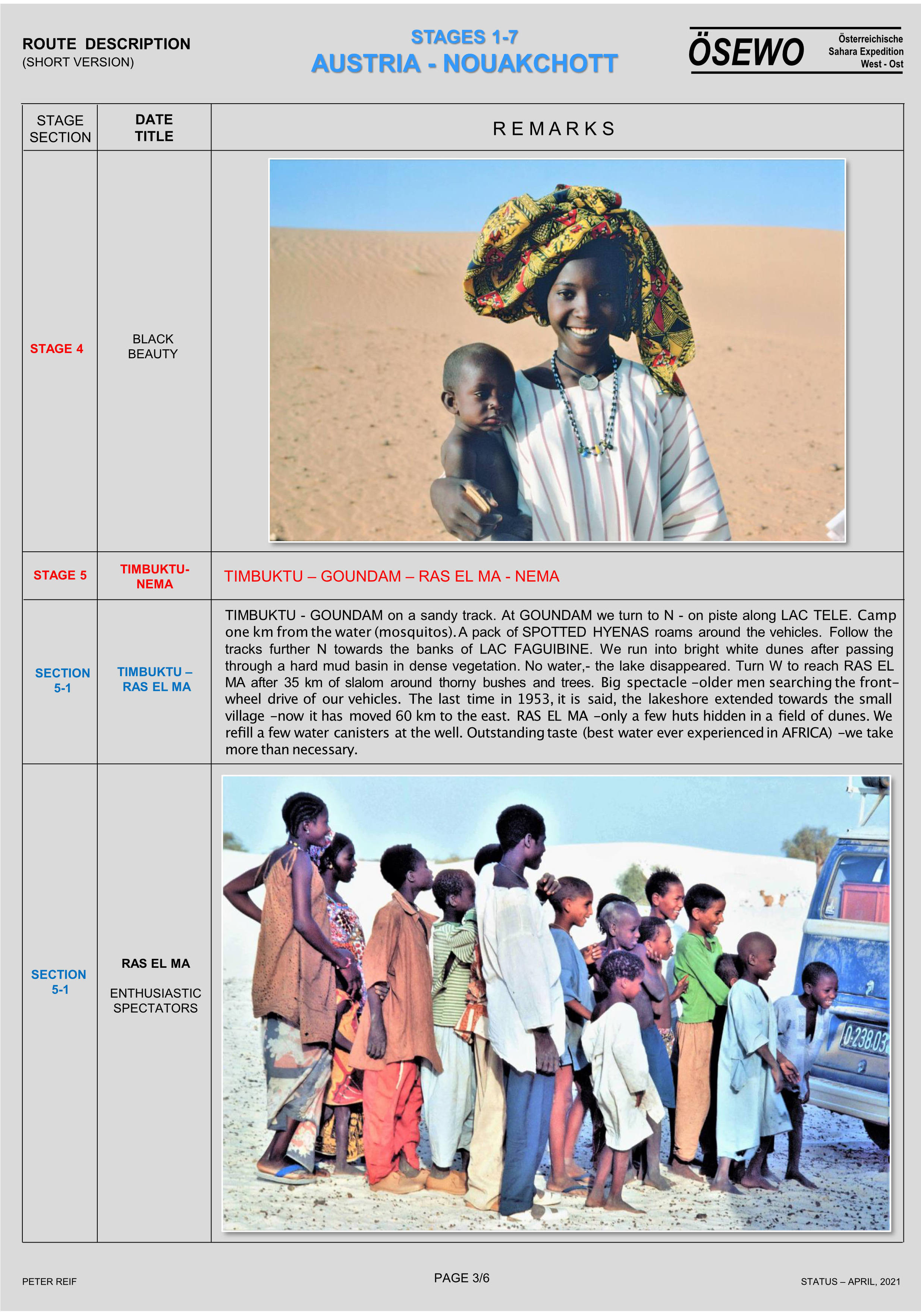
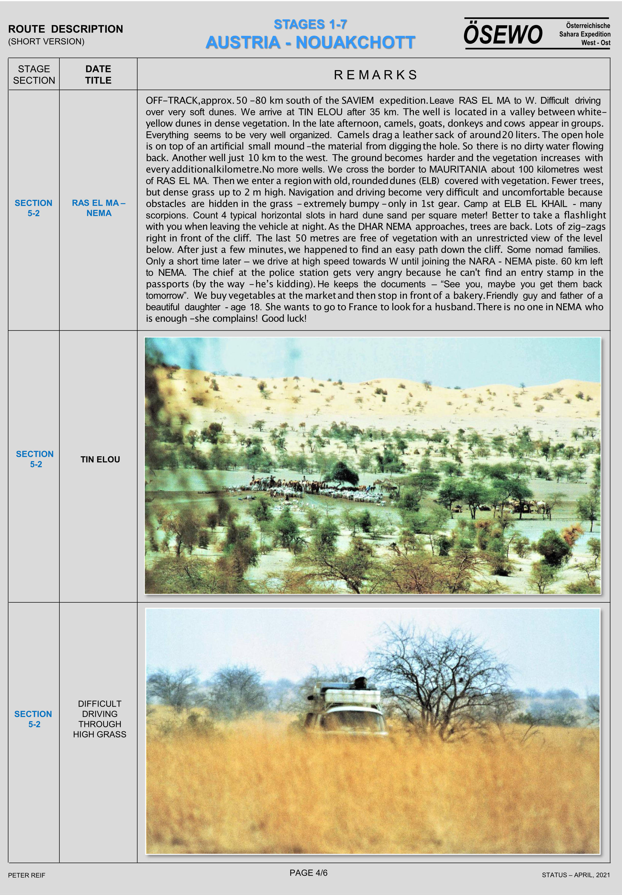
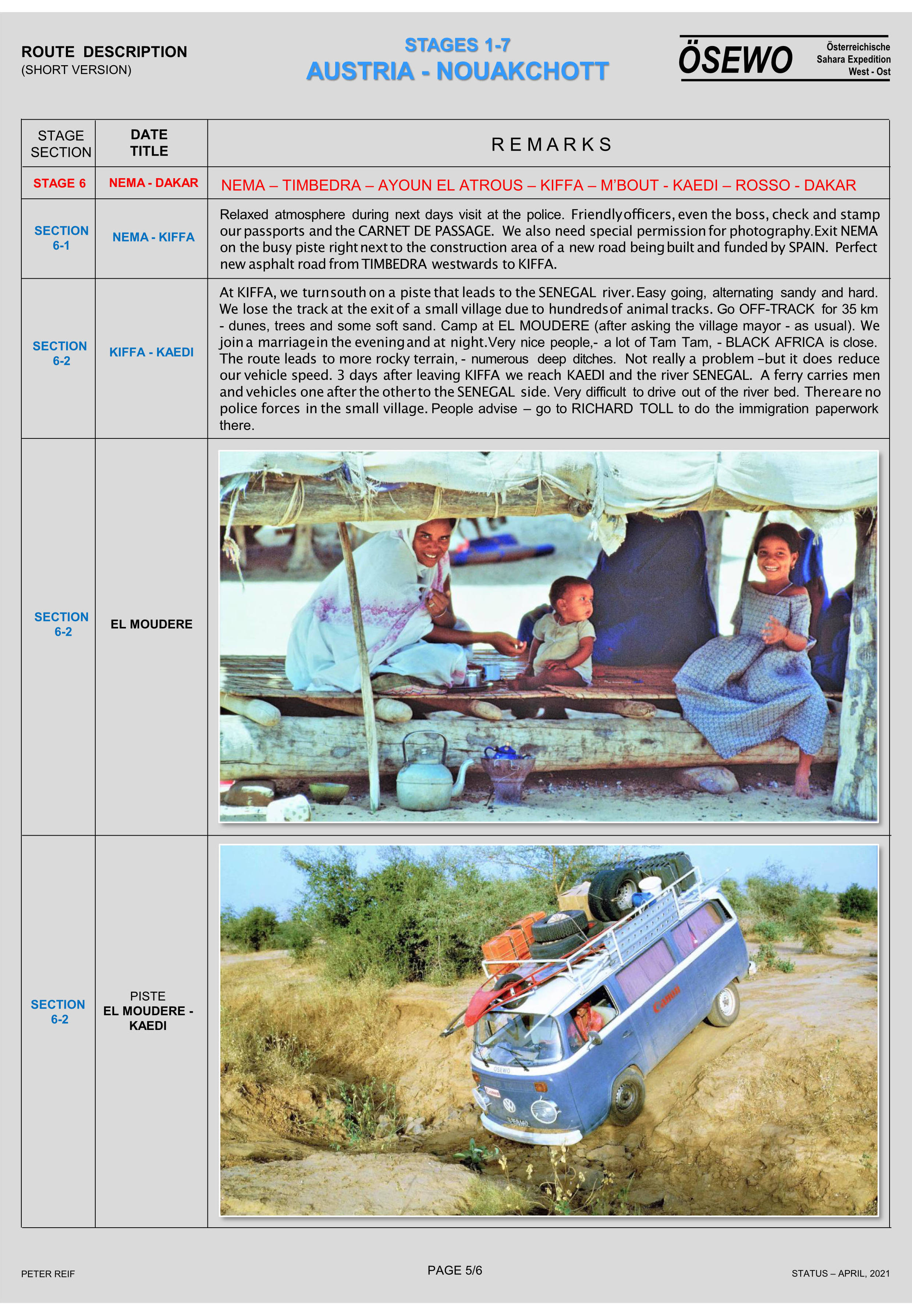
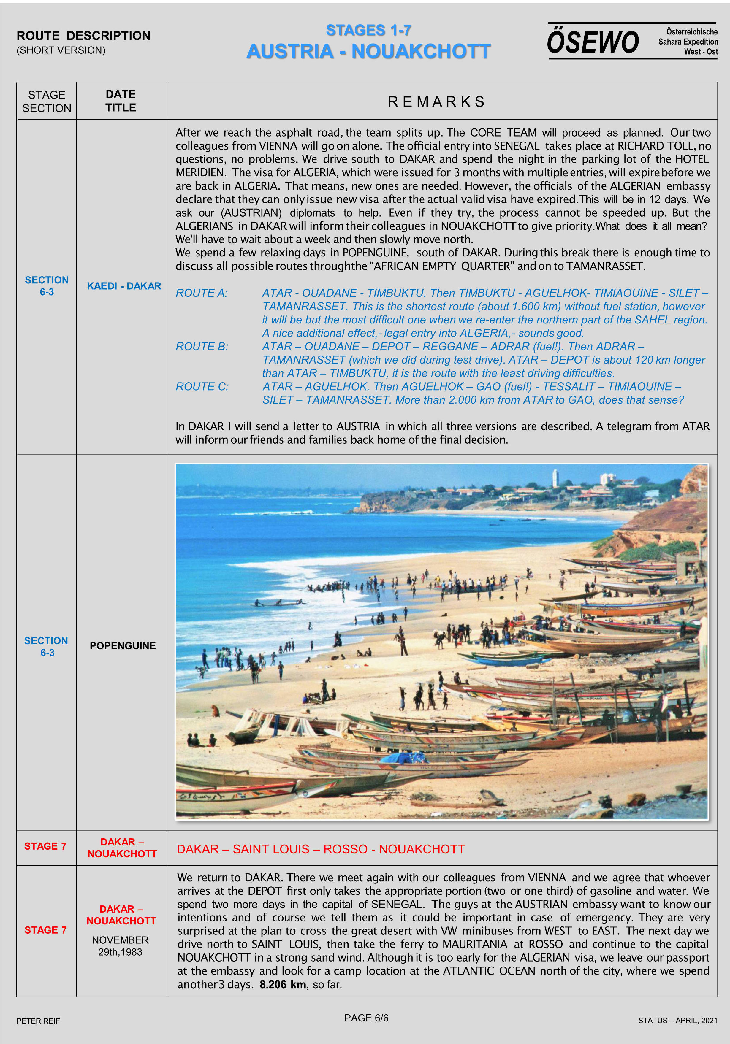
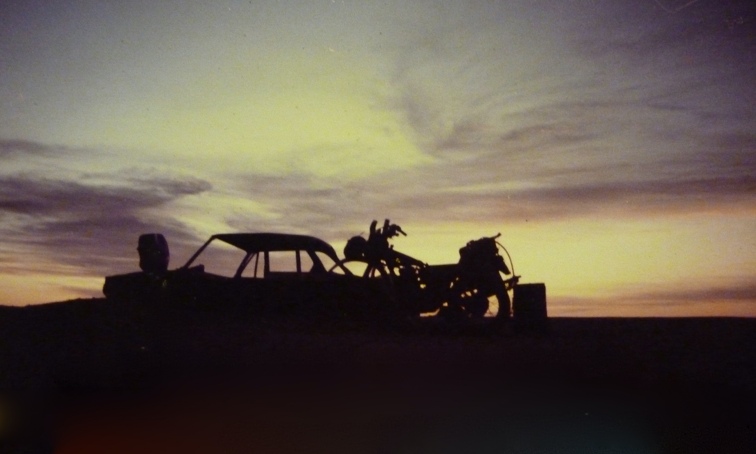
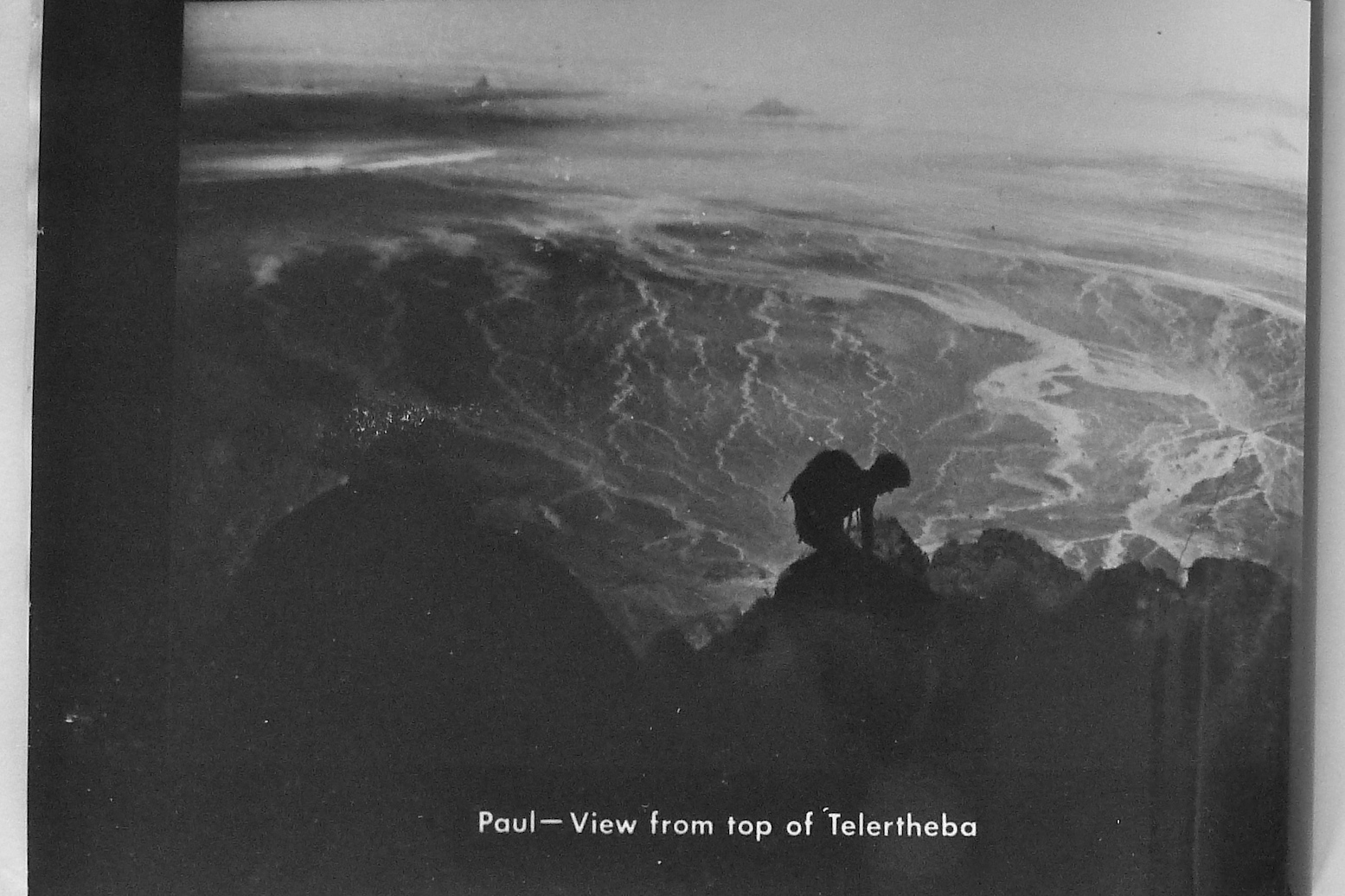
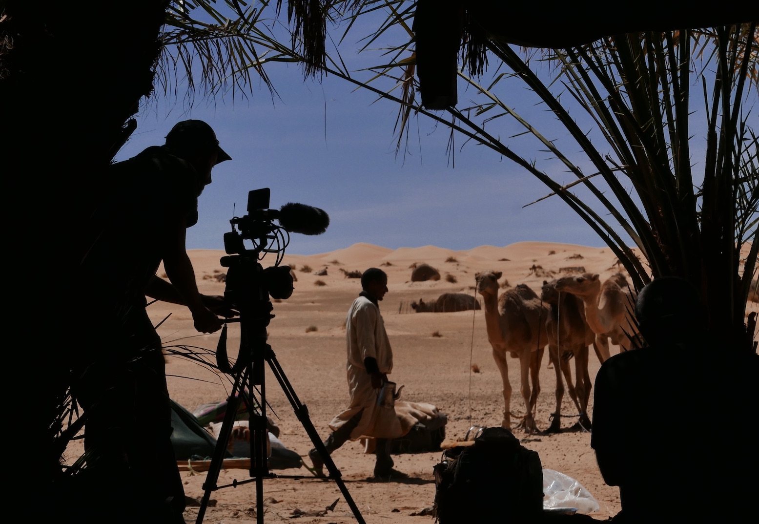
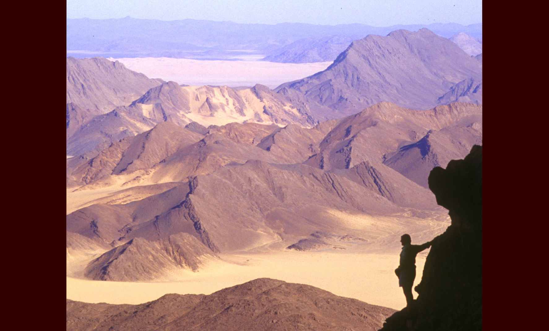
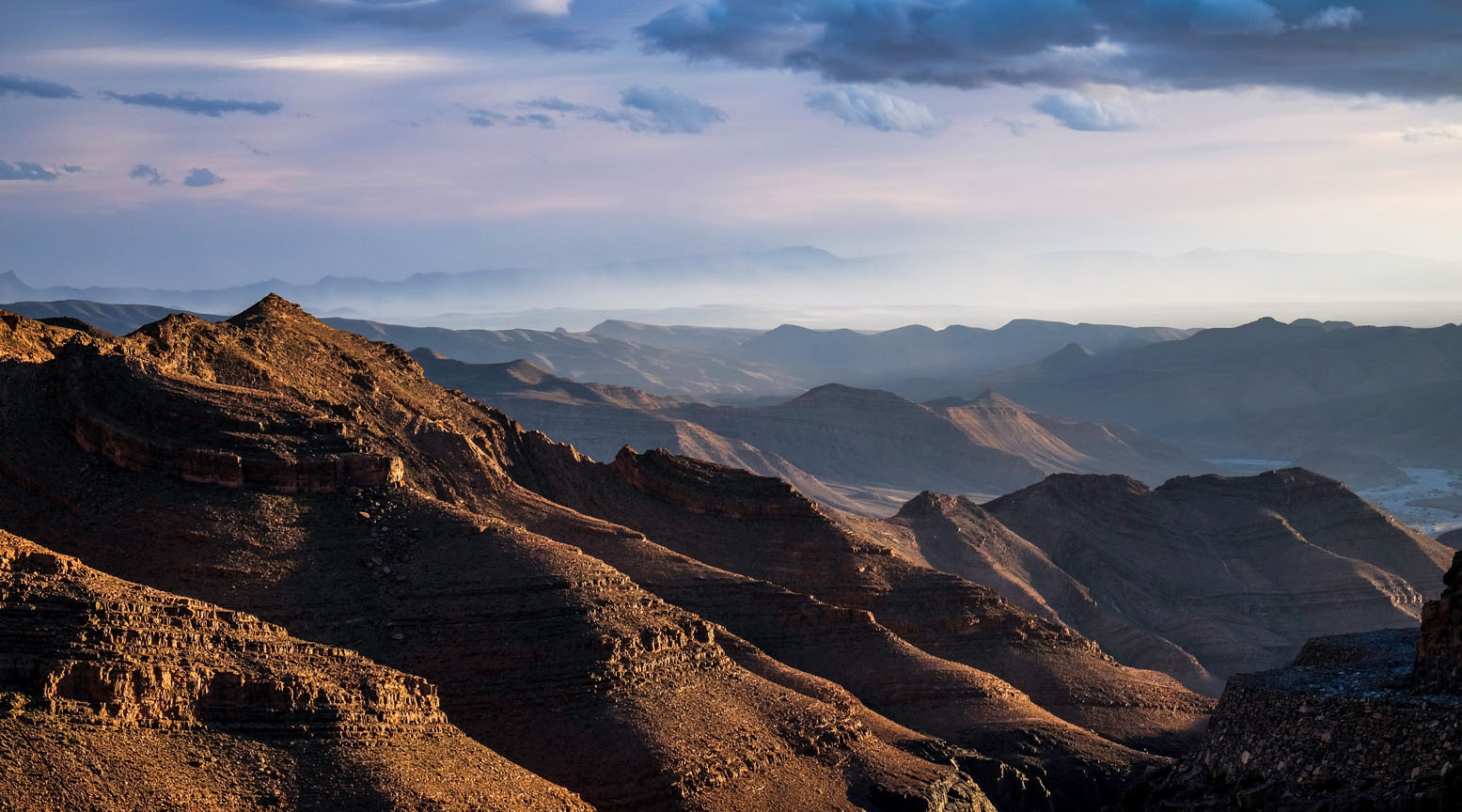
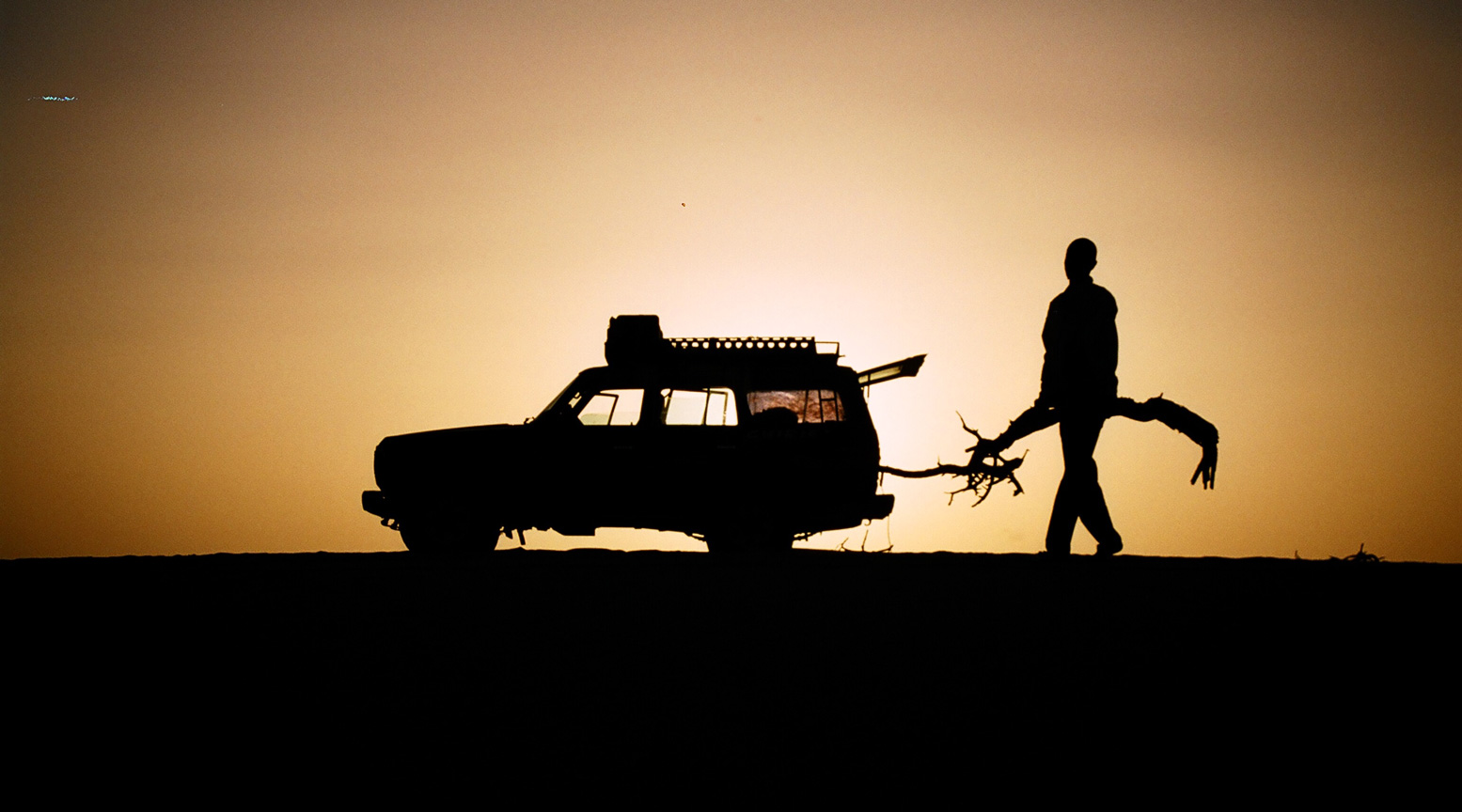
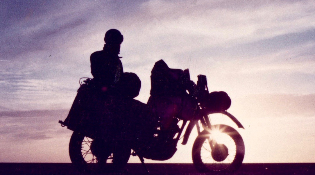
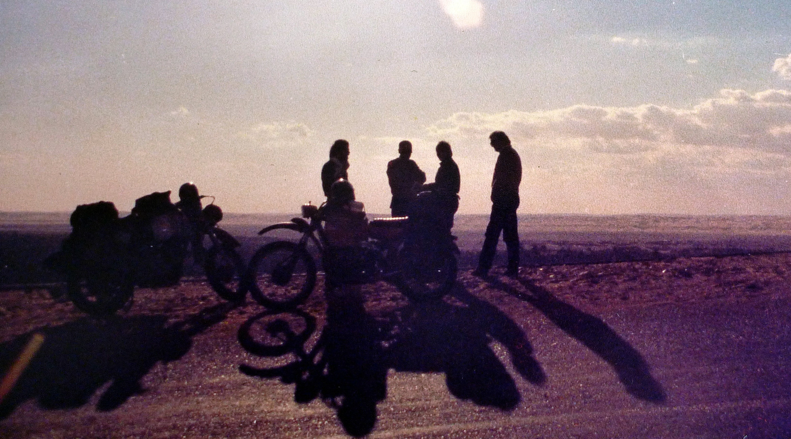
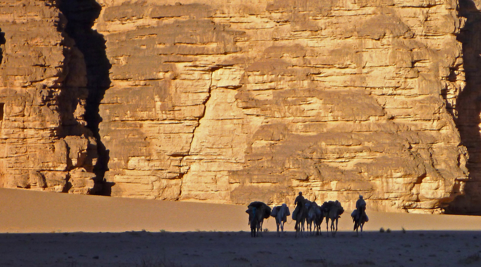
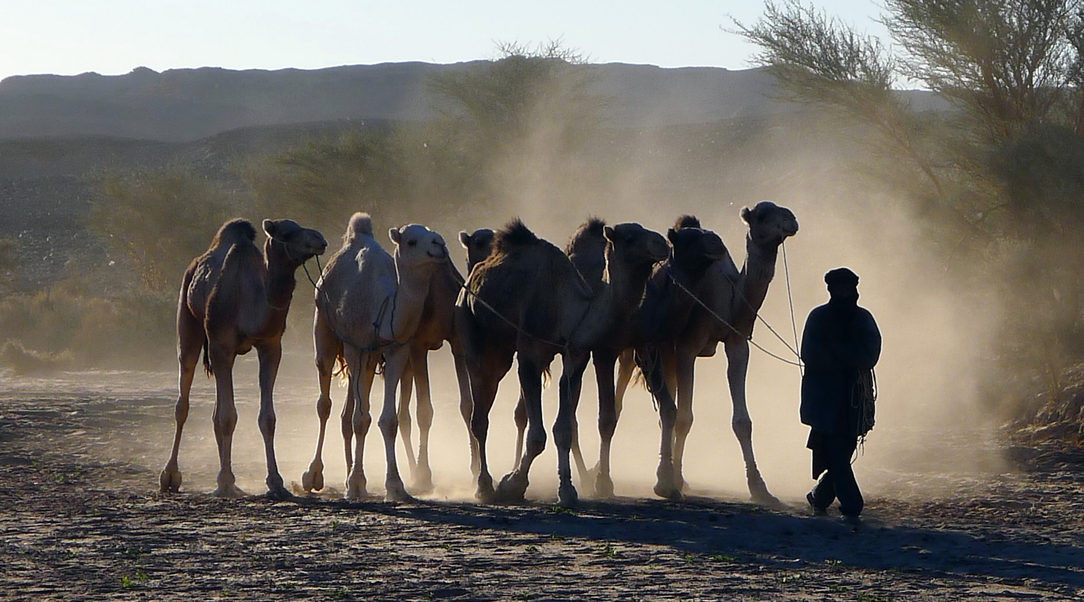
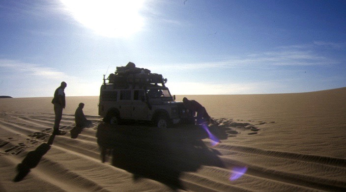
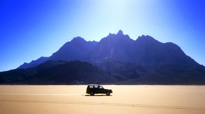
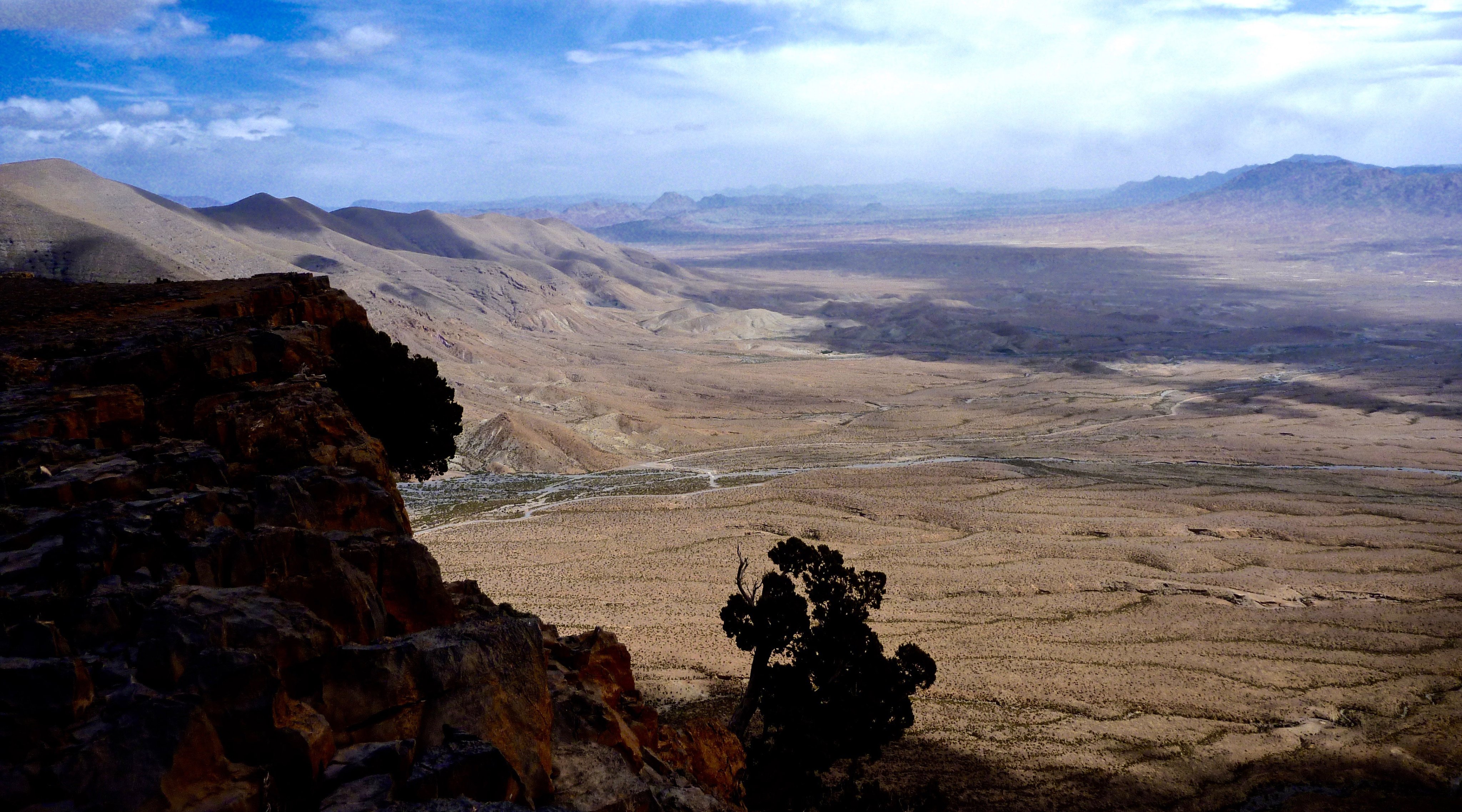
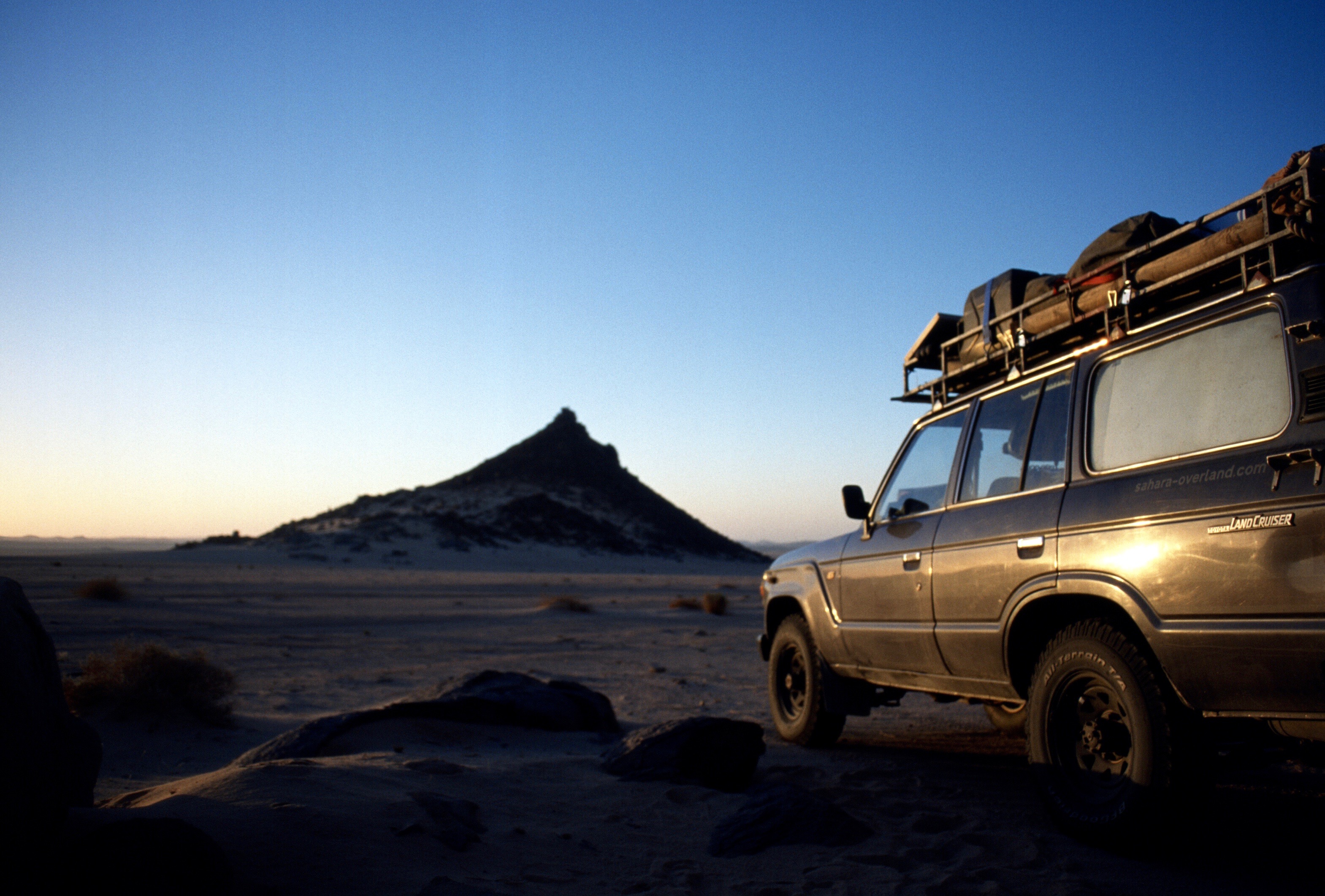
Part Four of Peter Reif’s report and maps recalling ÖSEWO: an Atlantic-to-Red Sea crossing of the Sahara in 1983-4. Following the tough, three-week crossing of the Majabat al Koubra to Timbuktu, the two VWs head northeast back into the desert for the Algerian border they crossed two months earlier on the way down. For other parts, click the Index Page.
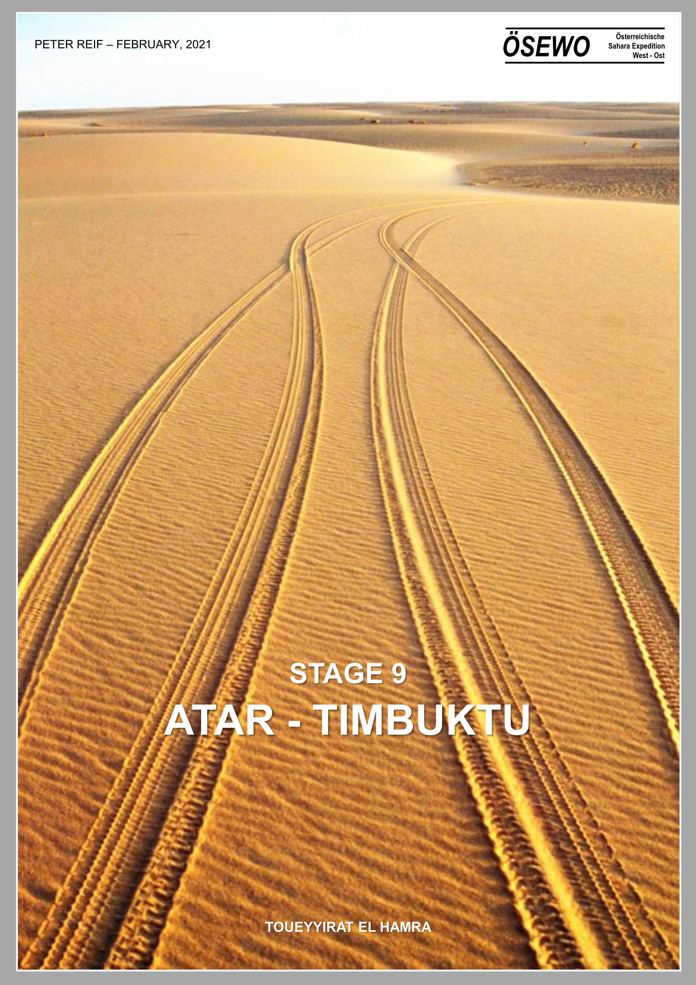
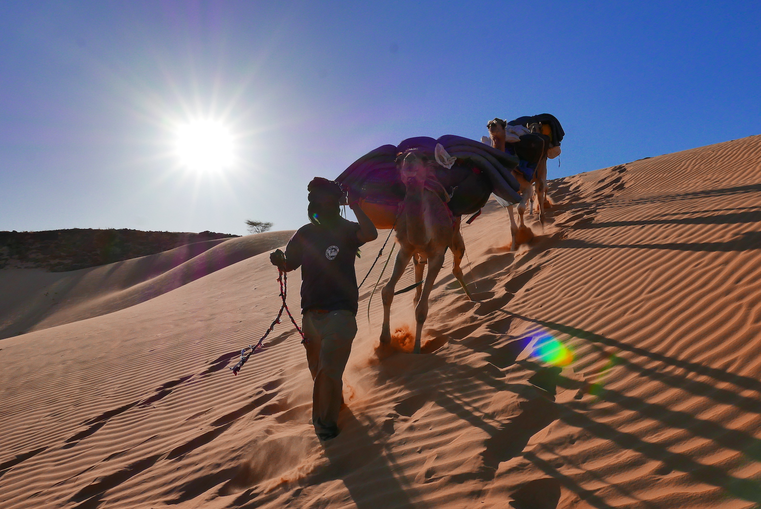
Part Three of Peter Reif’s report and maps recalling ÖSEWO: an Atlantic-to-Red Sea crossing of the Sahara in 1983-4. The VWs load up and tackle the big 1500-km dune crossing of the Majabat al Koubra or Empty Quarter from Atar to Timbuktu. For other parts, click the Index Page.
Part Two of Peter Reif’s report and maps recalling ÖSEWO: an Atlantic-to-red Sea crossing of the Sahara in 1983-4. The team get in position for the first big desert crossing. For other parts, click the Index Page.
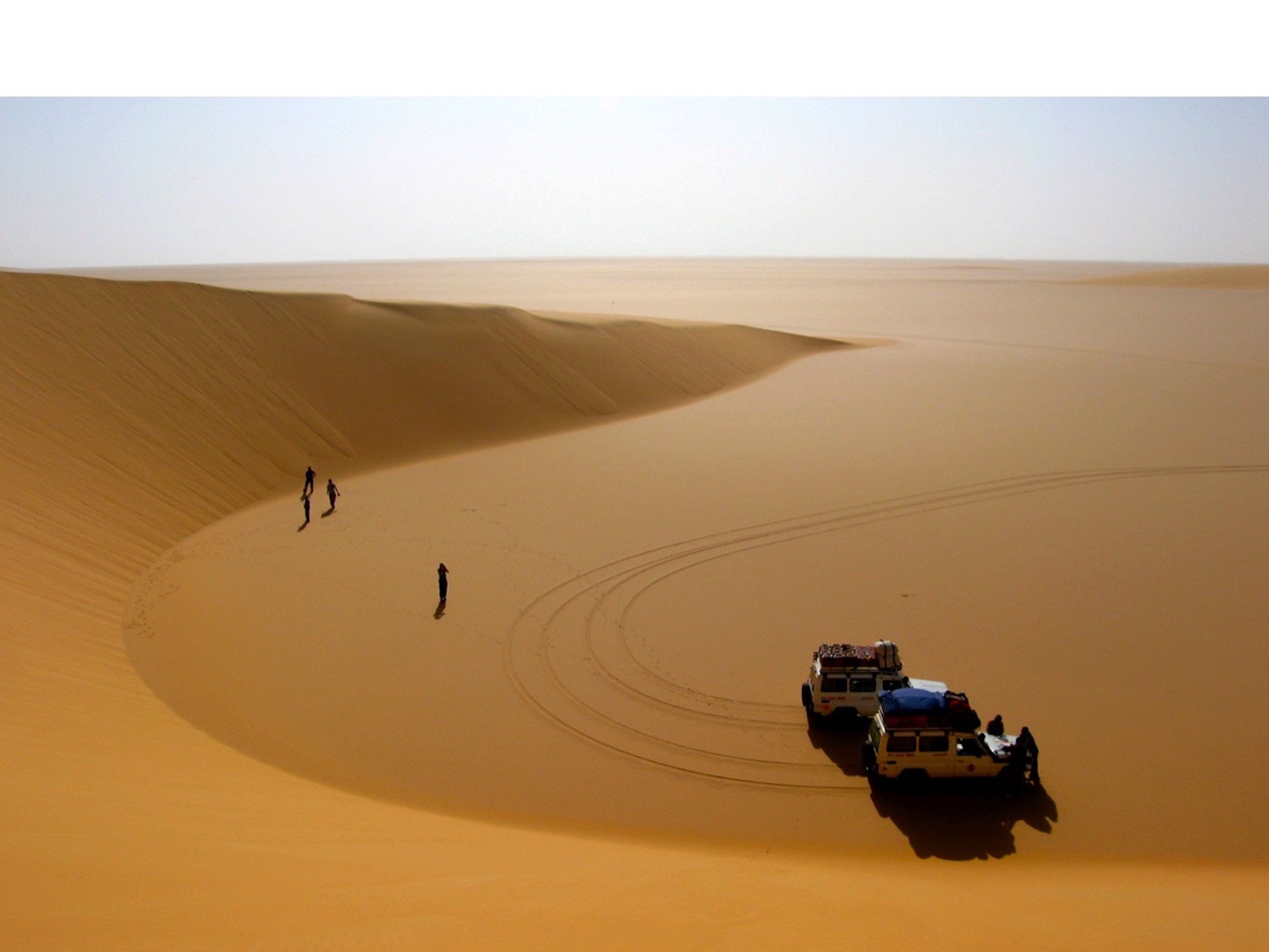
Austrian, Peter Reif spent his Lockdown formatting a series of detailed reports and maps recalling ÖSEWO: an Atlantic-to-Red sea crossing of the Sahara in 1983-4. Volkswagen’s T2 Kombi was an unorthodox choice, especially as much of the route was off-piste, but as you’ll read over the next few posts, the vehicles managed better than you’d expect.
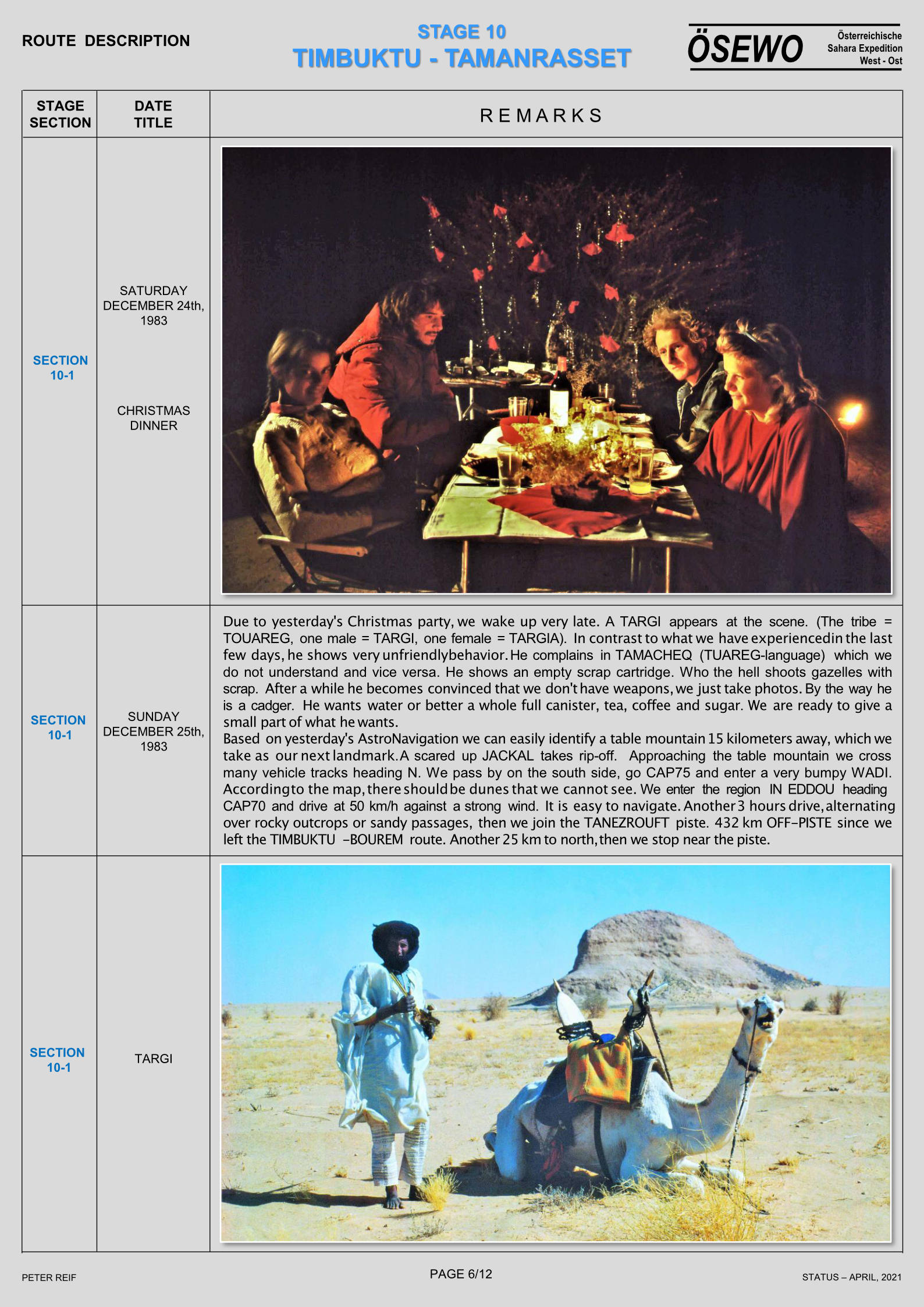
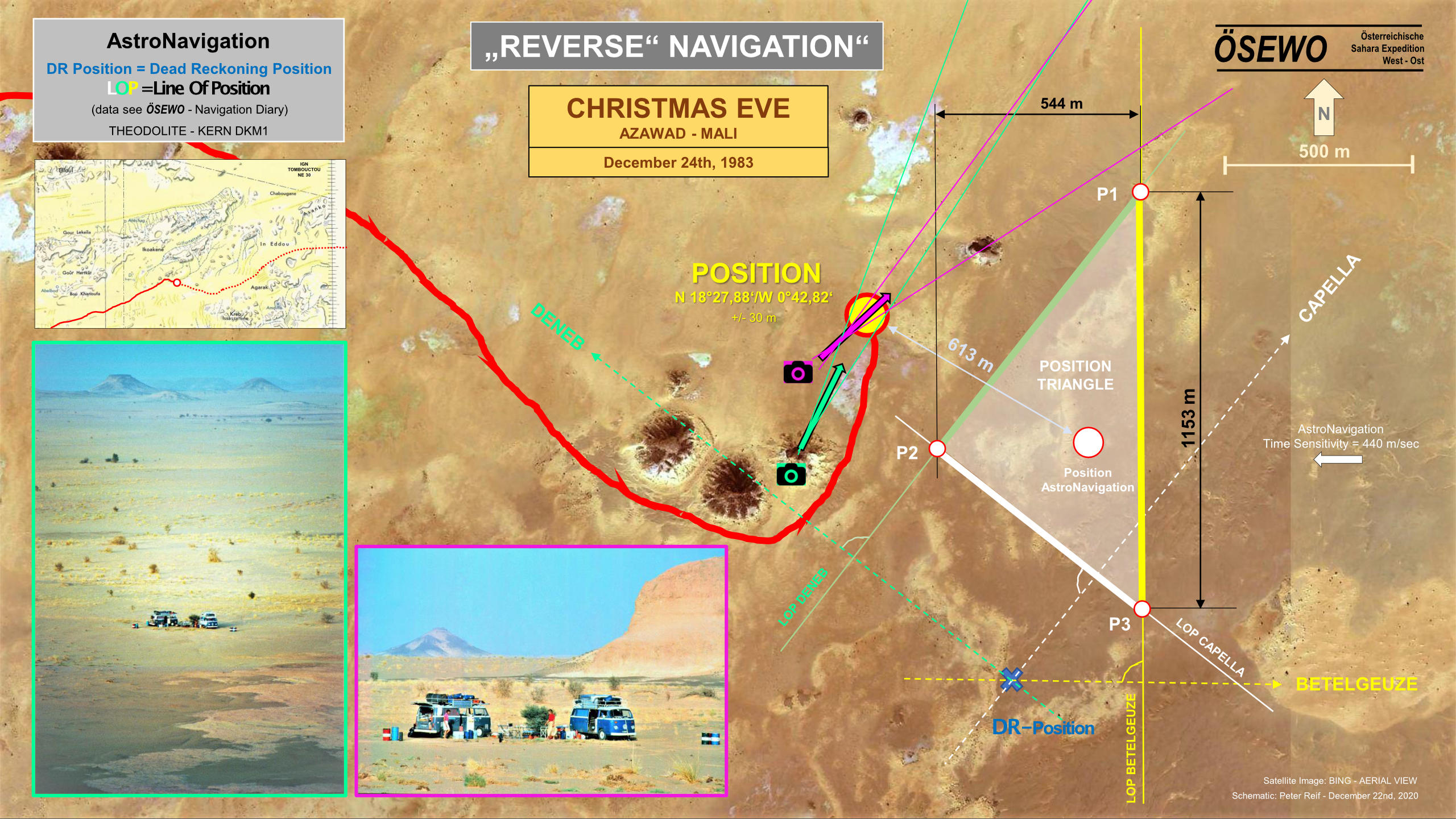
I recently received this interesting graphic from Austrian desert traveller, Peter R. In the winter of 1983-4 he and another T2 VW set off from Mauritania to cross the Sahara from west to east. Christmas Eve 1983 found them here, about 200km southwest of Aguelhok in northern Mali. On that trip, which included a lot of driving off-piste, they used laborious astro-fixing to establish their position, when needed. The IGN maps of the era were (and still are) very good, and identifying distinctive isolated peaks or similar formations from maps helped with orientation. Decades later Peter was able to pinpoint his festive position much more accurately combining high-resolution aerial Bing Maps imagery and the angles of the distinctive hills around them from photos taken on that day. Doing so revealed their astro fix position was about 600 metres off to the southeast, and their initial Dead Reckoning estimate was only about a kilometre to the SSE. Not bad at all.
I’ve never tried astro-nav nor met anyone who did it, even for a laugh. By the time I was exploring the desert away from pistes (where an accurate position is more useful), civilian GPS was available. Pre-GPS, I did occasionally use prominent landmarks for orientation by taking a bearing with a sighting compass, though my bike’s odometer (trip meter) was by far the most useful navigation aid, telling me how far I’d gone along a track; a form of dead reckoning which was easily estimated on a 1:1m scale IGN map where a 1mm equalled a kilometre on the ground.
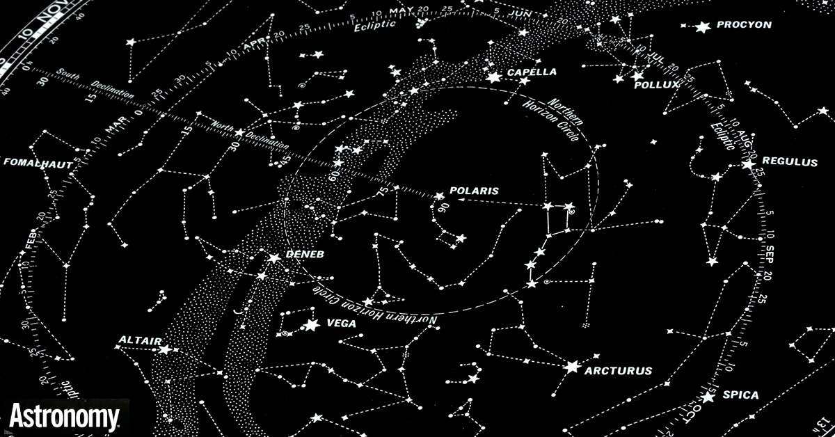
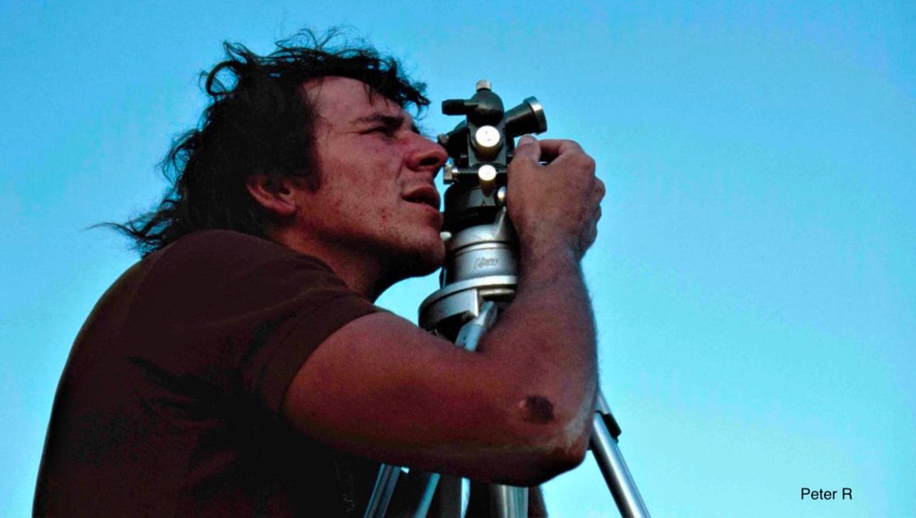
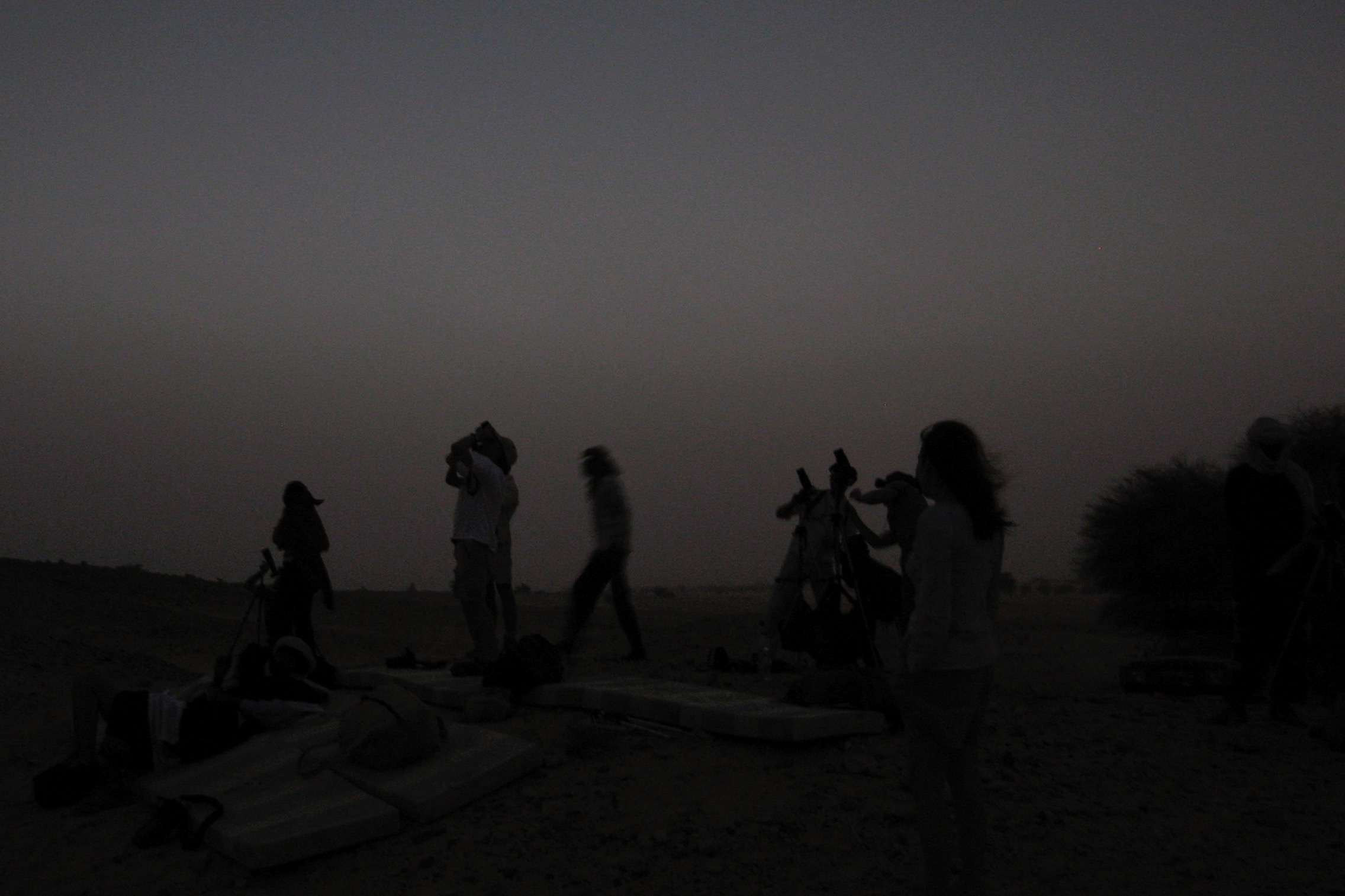
Looking at Peter’s graphic makes me realise astro-fixing might also be a form of triangulation as one would use on land in a 2D plane. Except astro is in 3D and also requires accurate times combined with precise angles (declination) and bearings (azimuth) of easily found ‘landmark’ stars (above: Capella, Betelgeuse and Deneb) to triangulate a position on the ground. To measure these angles you need a tripod-mounted theodolite – as Peter’s group used for greater accuracy. You then need tables to convert you timing and other data into a terrestrial position. Around this time I remember certain calculators – you might even call them mini computers – became available which halved the time it took to secure a position to 45. I suspect there’s probably a lot more to it than that. Here’s a lengthy report about experimenting with sextant (more suited to boats) positioning in the Sahara. The user averaged an error against GPS of 4km which makes Peter R’s reading all the more impressive (though it wasn’t done with GPS but photo orientation and triangulation)
Orion’s Belt or ‘North Pointer’ to me
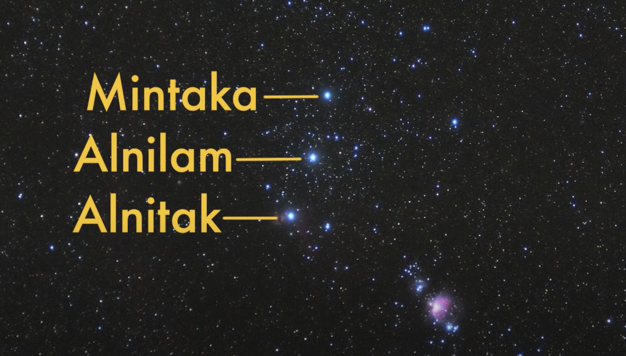
I never knew so many stars were named. For example Orion’s Belt (which I’ve always seen as one side of an arrowhead pointing just west of north) is composed of Mintaka, Alnilam and Alnitak. And the two ‘pointer stars’ on the end of the Plough (aka: Ursa Major; Big Dipper) which lead to Polaris, are called Dubhe and Merak. (More here about how Polaris works). All these names sound Arabic. I remember Stanfords used to sell star maps, and on one camel tour, someone’s smartphone had an app to point at the night skies and identify constellations and maybe star names too. I dare say these apps are even cleverer now.
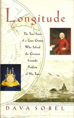
I also learned that estimating you N-S latitude (in the northern hemisphere at least) is as easy a taking an angle off Polaris – the North Star around which all stars rotate. You can do this roughly with a baseplate compass. I remember an old Silva Ranger compass had a clinometer which makes this a bit easier. Now I think about it, Polaris is usually quite low in the Sahara sky; about 25° above the horizon which sounds about right. A good trick is measuring with your extended fist which equals about 10 degrees. So in the Sahara Polaris is 2.5 extended fists above the horizon. That’s been done by navigators for millennia, but some may remember Dava Sobel’s popular 1995 book Longitude which described the Longitude Act of 1714 to egg on the invention of very accurate clocks or chronometers to help mariners calculate E-W longitude, the missing link and handy for crossing the Atlantic. Like so much else, I’ve forgotten most of the Sobel book, but the video below explains the principl very clearly around 5:25. With a chronometer set at Solar noon at Greenwich, clocking midday anywhere else and working out the time discrepancy at 15° to the hour, gives a number of degrees of longitude (and so a distance) off the Prime Greenwich Meridian, north or south of the equator.
I looked on YT for a video which might summarise astro-fixing succinctly, but many were aimed at mariners and stretched on for hours. This snappy video, complete with a jaunty soundtrack, gives you the basics on orientating yourself (finding north). That’ll do me for now.
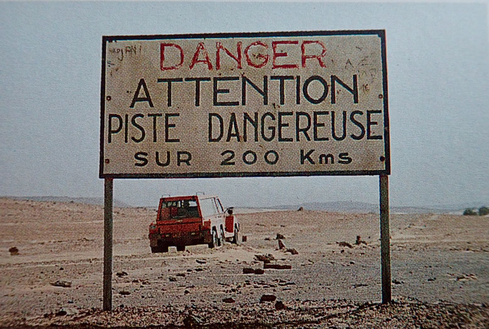
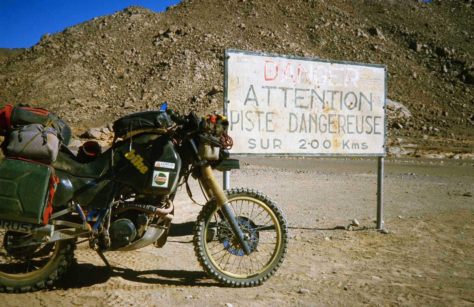
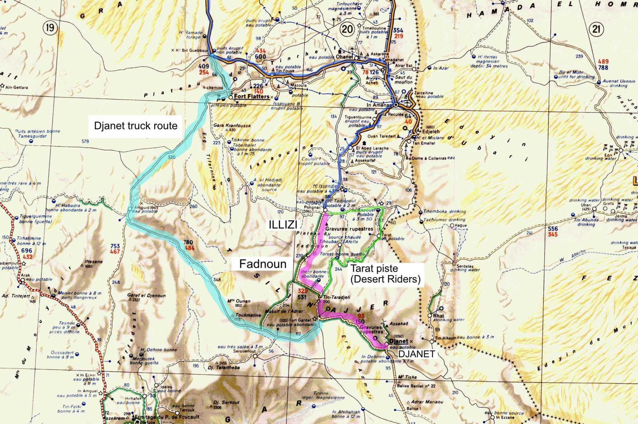
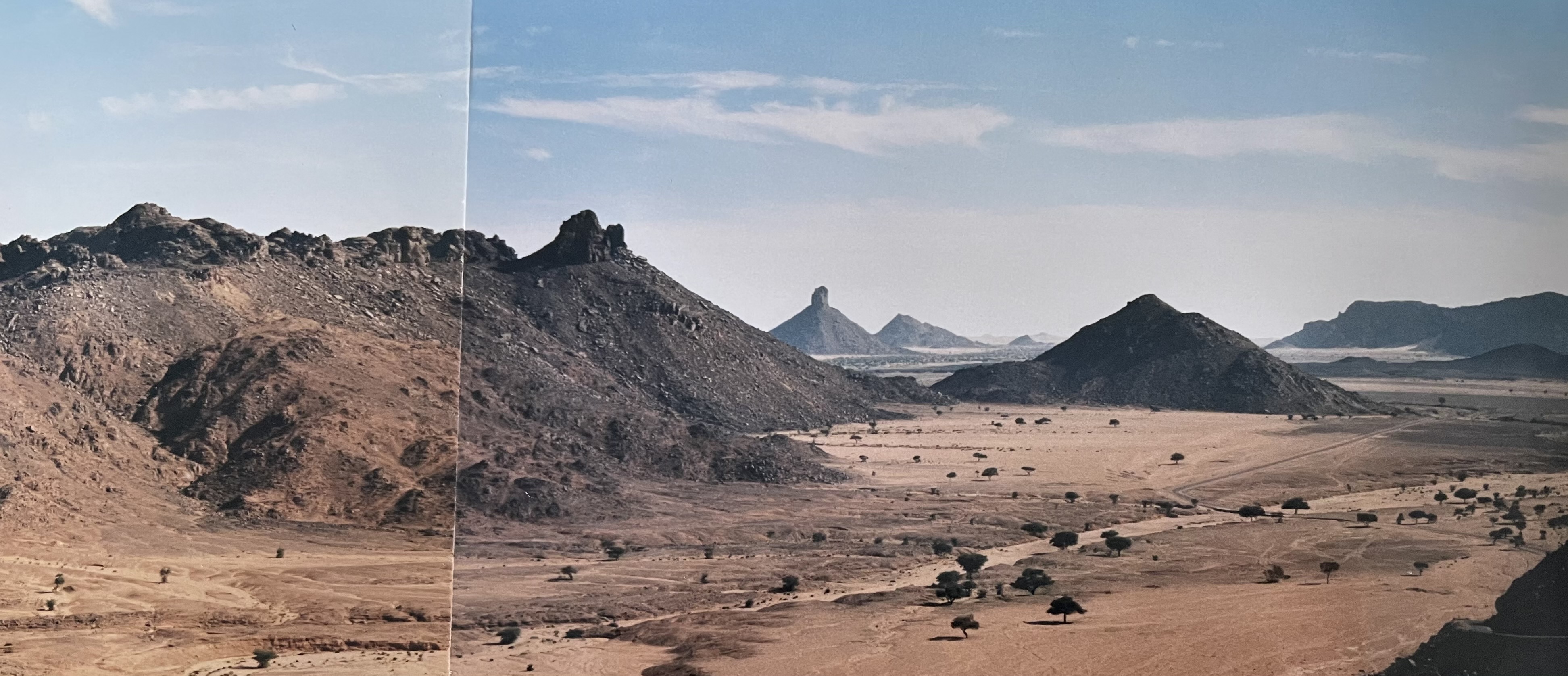
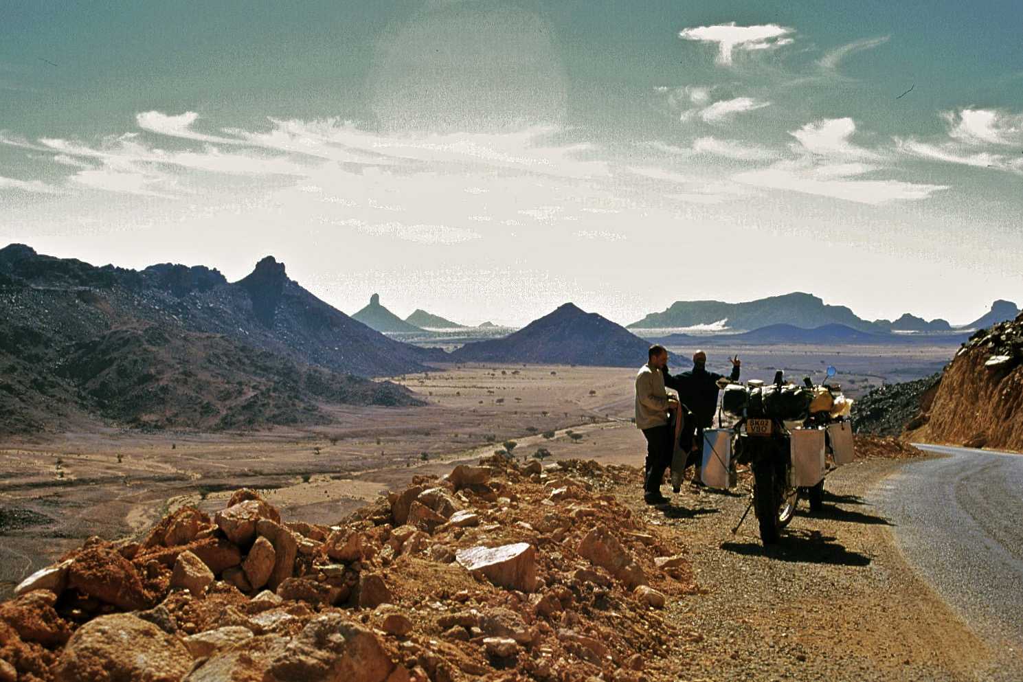
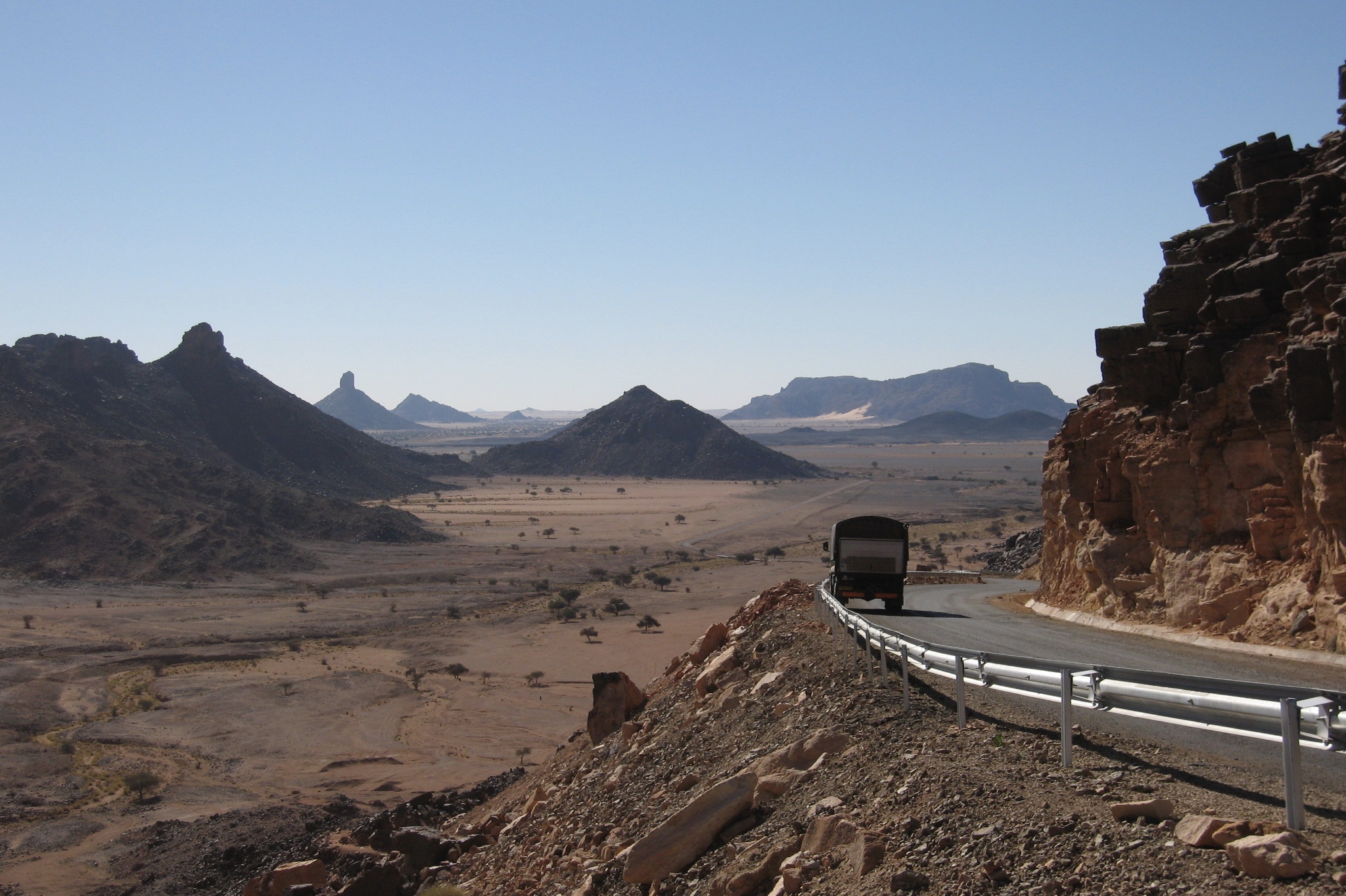
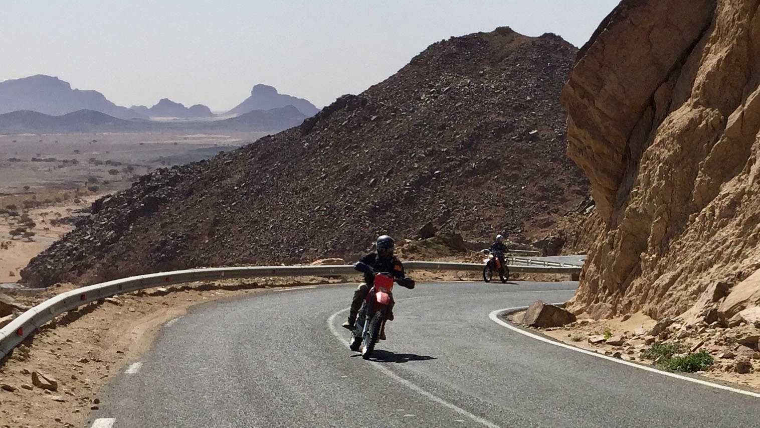
Anyone who’s taken the RN3 down to Djanet in southeastern Algeria will remember the Tin Taradjeli Pass. By the mid-1980s the tarmac may have reached Illizi, but from here a bone-shaking 200-km crossing of the Fadnoun plateau was so rough, steep and bendy, bigger trucks had to take a long detour and there were warning signs at each end of the plateau: Attention; Dangerous Track.
Illizi (from Africar book)
Part of the Tassili N’Ajjer escarpment which stretches over into the Libyan Akakus, the Fadnoun was a notorious, vehicle-wrecking barrier. Suspension problems were common and on various trips I came across a 2CV and a Hilux which were gradually breaking in half and needed the chassis braced.
As I write in Desert Travels, crossing the Fadnoun with a Landrover 101 and a group of bikes in 1989, they’d ride for an hour and then wait hours for me to catch up.
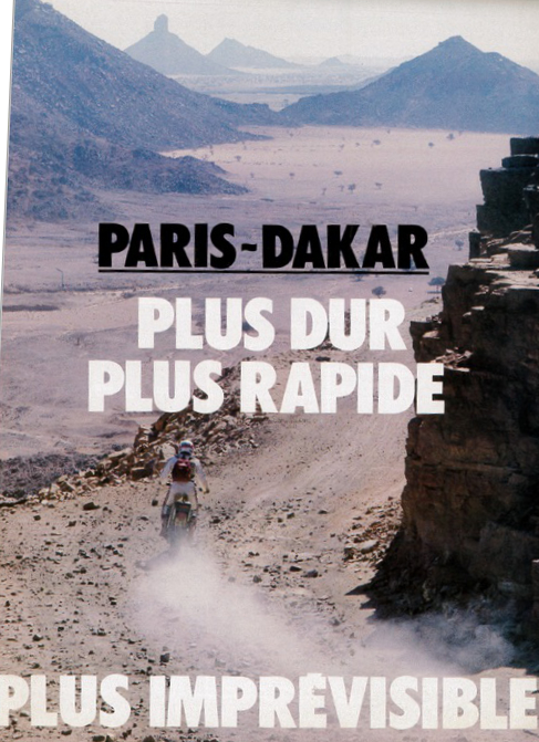
On the left, the 1983 edition of the Paris-Dakar crossed the Fadnoun on its way to Djanet and the Tenere beyond.
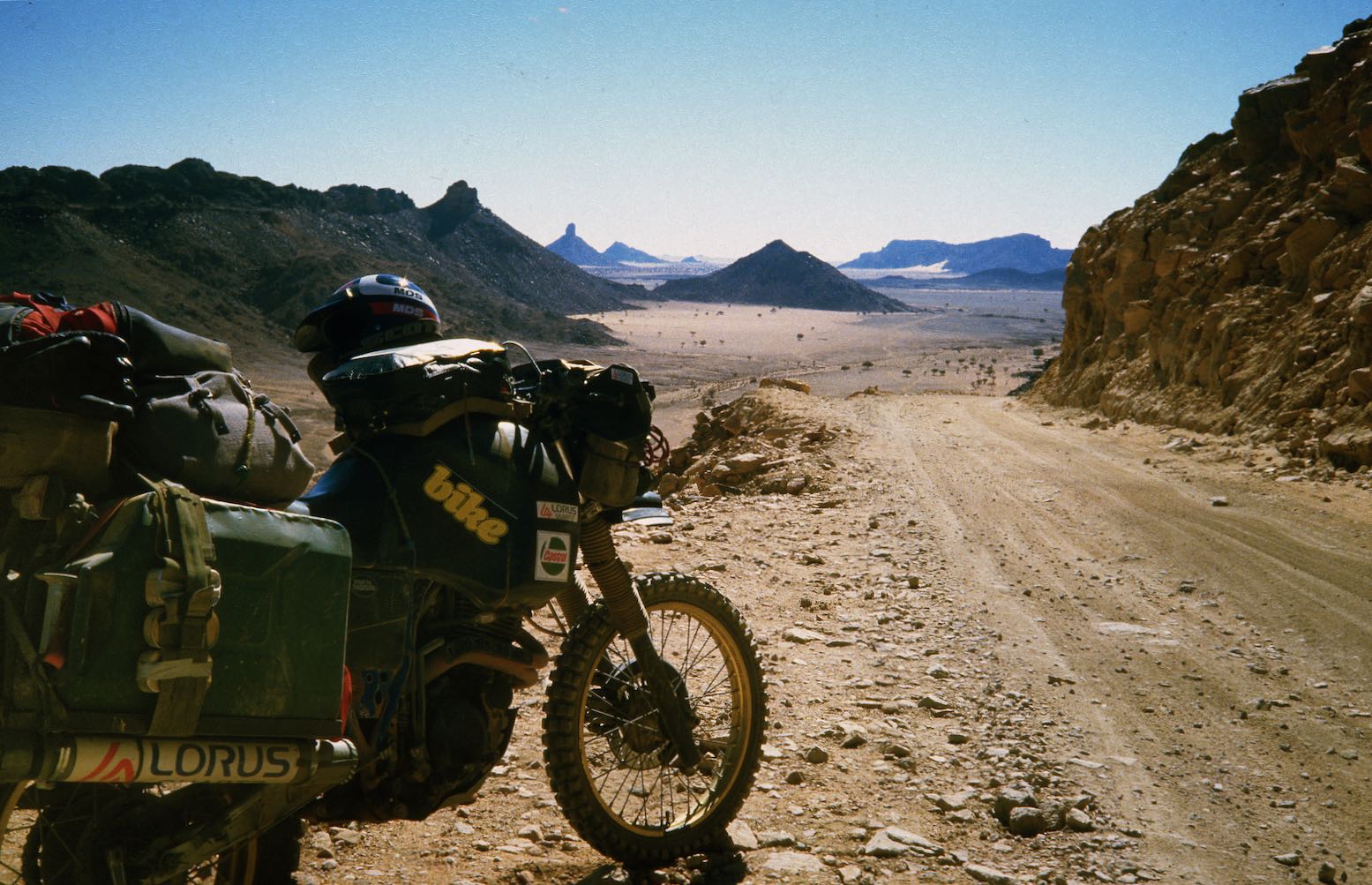
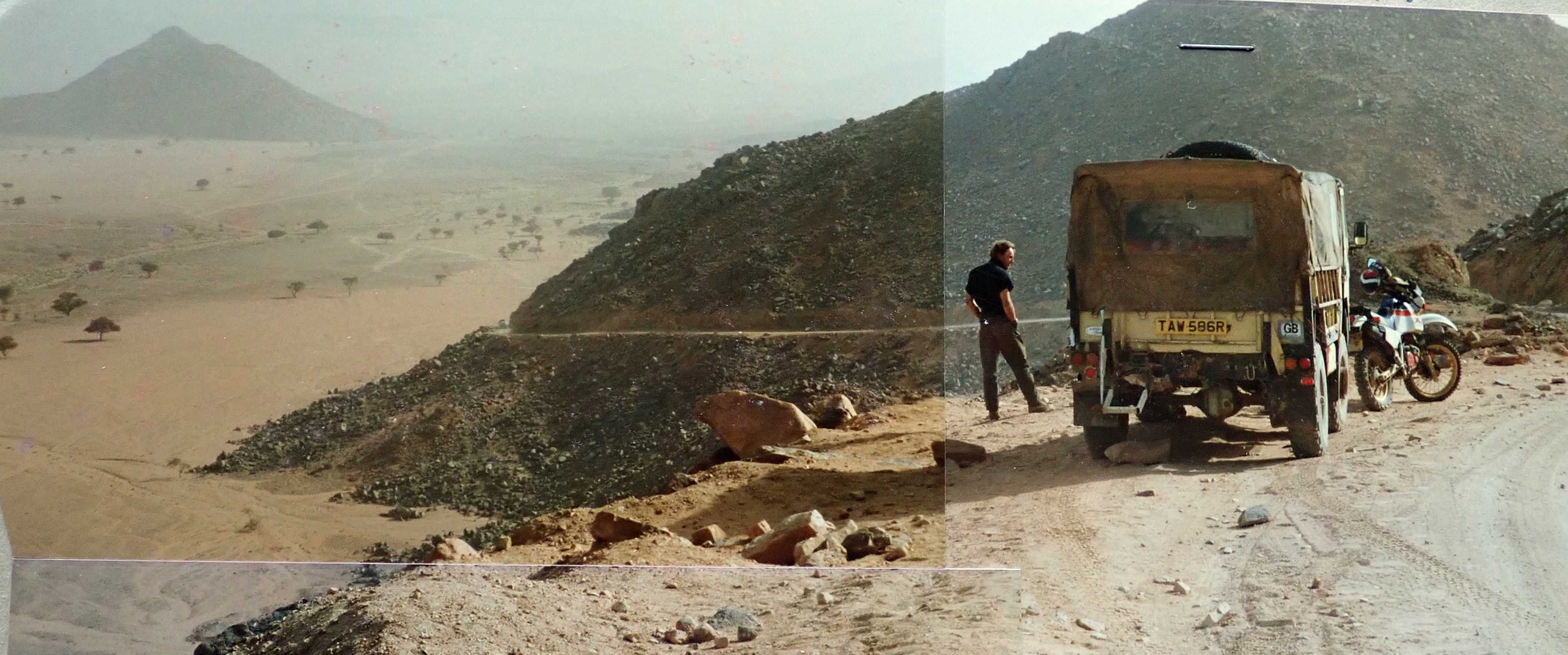
A map and few shots of Tin Taradjeli over the years.
Tin Taradjeli: where the green line meets the pink in the middle of the map.
Book Chapters: 16 Arak 17 Bad Day at Laouni 18 The Far Side 19 A Blue Man 20 The Hills are Alive
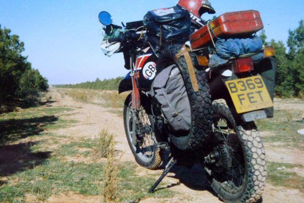
After my batty Benele excursion of 1984 I brushed my hair, straightened my tie and bought a sensible XT600Z, just like I always knew I would. This was the slightly better 55W version of the original kick-only Tenere, distinguishable by sloping speedblocks on the tank (more here). All I did was add thicker seat foam and fit some Metzeler ‘Sahara’ tyres – a rubbish choice for the actual Sahara, as I was to learn. Using no rack was another mistake which nearly cost me the bike. My learning curve was still as steep and loose as a dune slip face. In fact, there was so little to do to the Yahama that I moved the oil cooler from down by the carbs up into the breeze over the bars. And I painted it black because I still hadn’t shaken off my juvenile Mad Max phase.
With my £5 ex-army panniers slung over the back, in December 1985 I set off for Marseille, bound for Dakar via Algeria, Niger and Mali. As I mention in the book, I was going to try a new ‘go with the flow’ strategy’. Instead of being ground down and resentful by the setbacks of my previous adventures, I’d just take the reversals on the chin, bounce back, and move on. On this trip that stoic philosophy was to get a thorough road test!
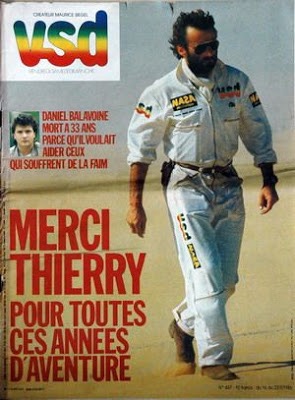
Zoomable Map LinkA chilly desert morning somewhere south of Ghardaia. Further south there isn’t enough humidity to produce overnight frost.Back at those first proper desert dunes north of El Golea (today: El Menia). What a crappy, lashed-up baggage system!I return to Arak where I’d got detained on the enervating Benele trip the previous year for being an idiot.Here I meet German Helmut on an old, ex-police R90 BMW. We are both planning to cross the Sahara so agree to meet up in Tam a couple of days down the road and do it together.A pose south of Arak. full black leathers, HiTec Magnum desert boots, and my dainty British Airways nylon scarf.View of Sli Edrar: my aborted destination on the Benele trip. Even now I was too nervous to ride the 10km across the desert to the hills. What would happen if i hit quicksand?! It takes years to get used to being out there. Or it did me.Sli in 1982 on the XT500 trip.I finally got to Sli Edrar 17 years later from the other side.while laying out fuel caches for Desert Riders.And in 2008 we had a great afternoon riding Sli’s granite domes on one of my epic Algerian bike tours.The worse thing about those rubbish 2-ply Metzeler Saharas, was that I bought a spare. Back then there were no hard-wearing Heidenau K60s or Mitas E09s.In Tamanrasset I meet up with Helmut and we take an overnight excursion up to Assekrem in the Hoggar mountains.Helmut on the R90. The overnighter was a good chance to test our bikes.Sunset from the Hermitage at Assekrem. ‘There was no one there..’.A chilly camp, high up in the bleak Hoggar.On the less used western descent down from Assekrem, near the village of Terhenanet Helmut deftly flips his BMW. The rounded gravel in this particular oued is unlike anything I’ve found in the Sahara. I barely made it across myself.A day or two later, Helmut lightens his load after the lessons of the Assekrem excursion and we set off into the night to cross the Sahara to Niger. We camped a short distance out of Tam in the hope of getting a good run for the 350km to the border in a day.Next morning we come across some Swiss riders. One of them flipped and cartwheeled his 80G/S and and now it won’t start.Helmut knows his BM from his elbow and sorts it out: a barrel flooded with oil. Look at the huge load on that other Tenere compared to mine. This was one of the reasons why I felt it was my duty to write Desert Biking a few years later. That book evolved into the Adventure Motorcycling Handbook.As that day wore on, Helmut got progressively more and more tired from frequently falling off his bike. One final crash around dusk finished him and the BMW off.With his shoulder damaged and so unable to ride, I persuaded him to give his BMW a Viking burial with the loads of spare petrol he had left over.The remains of Helmut’s trans-Sahara ride next morning. We abandoned most of his gear and he squeezed on the back of my XT. It was galling for him; he came off quite a lot worse than I did on my first attempt at crossing the Sahara in 1982 on an XT500.After leaving Helmut at In Guezzam, the Algerian border post, I set off across No Man’s Land for Assamaka: the Niger border. It was New Year’s Day, 1986 and the Dakar Rally was leaving Paris.As I say in Desert Travels, the Sahara Handbook of the time warned of the very sandy conditions in No Man’s Land, but in fact the terrain wasn’t so bad. When things are tough or in times of stress I tend to press on; when they ease up I feel it’s safe to stop for a breather. So even though it wasted precious film, I had the notion to take some aerial selfies by setting the camera on self timer and throwing it up in the air.Most shots were of gravel or sky, but here’s a superb pre-drone-era snap of the Tenere from 20 feet up.After checking into Niger at Assamaka – a portacabin and mud hut in the middle of nowhere, next day I got lost on the last 200-km stretch to Arlit where the road resumed. And not only that but just before I got there, my canvas baggage caught fire (pressing on the pipe; the usual story). One pannier burns merrily in the stiff Saharan breeze.I wasn’t carrying that much stuff; now I had a bit less. Notice the H4 light bulb.My first Saharan crossing had been quite eventful. See the Google Map.A few days later I arrived at the banks of the Niger river. West Africa was a whole different vibe from the Sahara and North Africa.After struggling along the very sandy riverside track from Niamey (Niger) into Mali, I camped on some dunes above the river. As the sun set, over the river I could hear drums beating in the villages.Next morning I reached Gao, located the ferry over the Niger (there’s a bridge now), and headed straight to Bamako as my Mali visa only lasted a week. But I got a puncture and encountered the Blue Man as described in the book. From here on I’d have many punctures from thorns I picked up while battling along the sandy bush track to Gao.The famous monoliths near Hombori, Mali.Another monolith in the morning haze.The fabulous Grand Mosque of Djenne (not my picture, can you tell?).I’m now sick with the shits but need to rush on to Senegal before the visa expires. In Bamako I gave up trying to get my bike on the train to Dakar, as most people did back then because the roads were so bad. So I take the direct route to Kayes and the border. After all, I’ve crossed the Sahara and am on a trail bike, how hard can it be?The track follows the Dakar railway which helped with orientation. Just as well as I got lost again and again. Unlike the desert, there are loads of bush tracks linking village to village.Waiting for the non-existent ferry at Bafoulabe. After a while I realised there was a bridge just upriver. How else would the train get across. You can see my perspex numberplate has succumbed to the piste; a common problem. Small metal plates are better.Rough tracks in west Mali heading towards Kayes. Few people took this route and I don’t recall passing any other vehicles. From Kayes it was another 100km to the border which I had to reach that night.But there is time for a quick look at the Chutes de Gouma, west Mali (see map).Passing through Kayes that evening, I learned that Dakar Rally founder Thierry Sabine, had been killed with several others in a helicopter crash. January 14, 1986.Somewhere after Ambidedi, I crash out myself under some baobab trees. I was still sick and too tired to carry on, visa or no visa.Next morning I reach the border, now with two flat tyres, but accidentally manage to slip out of Mali unnoticed. With no more patches, I get a train to Tambacounda where I meet Al Jesse, of Jesse Luggae fame. He gives me a spare tyre (my own got ruined from being running flat with the rim lock done up.I think my cameras had packed up (another common problem) but I still had film so Al took some pictures of the Dakar finale for me, including Gaston Rahier #101, signing Al’s BMW 80ST which he’d ridden down from the Arctic Circle in Norway, two-up.Gaston Rahier in action.The Marlboro-Elf team. Imagine racing those tanks off road for up to 1000km a day.That year RothmansPorsche 959s got 1 and 2, and Neveu and Lalay did the same on Rothmans Honda NXR 780s (which became the original XRV 650 Africa Twin two years later). What a great result for Rothmans – if that won’t get you smoking, nothing will! Serge Bacou – cool centre stand (not my pic).Al inspects a Honda 125 #1. I have failed to find out who this was, or if it was an actual finisher.
The route was similar to mine, but twice as fast, half as long and many, many times as hard.From Dakar I ship the XT to Spain and fly on after it. What an adventure that was!Weeks later I got a postcard from Helmut.London to Dakar on an XT660Z Tenere. Next?!