
Part of the Sahara A to Z series
See also:
Old Saharan Trade Routes Map
‘V’ is for Vintage Sahara Maps
Sahara – blanks on the map
Maps of the Sahara
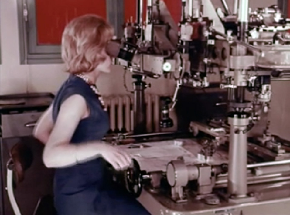
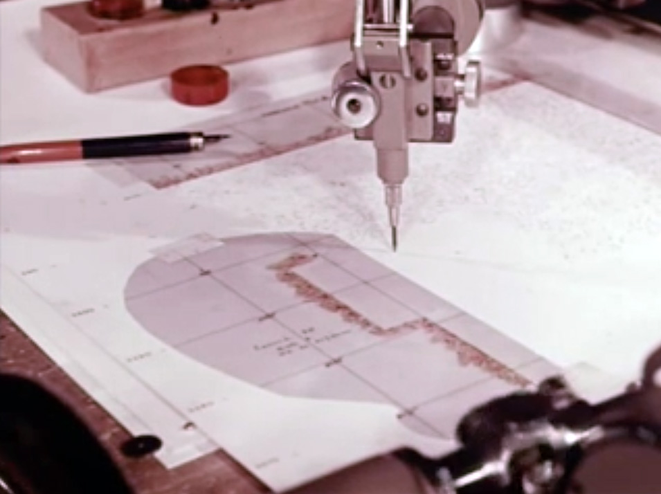
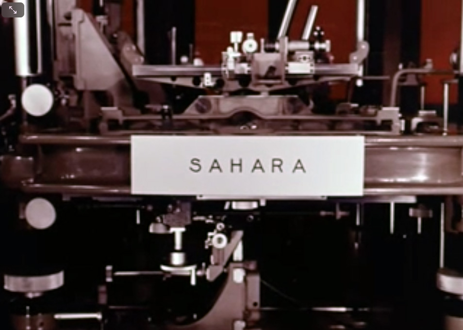
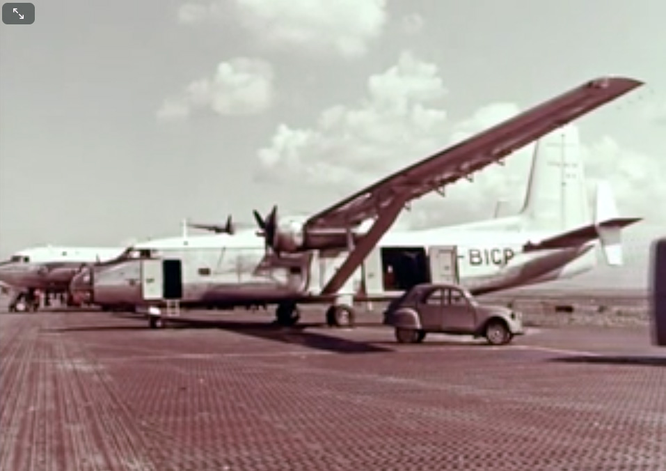
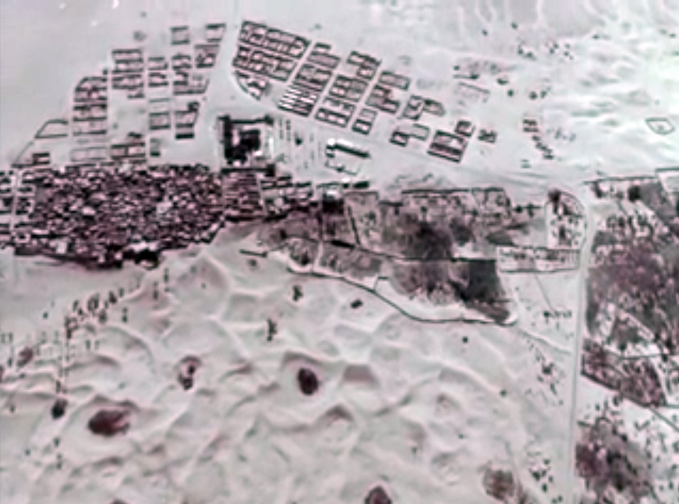
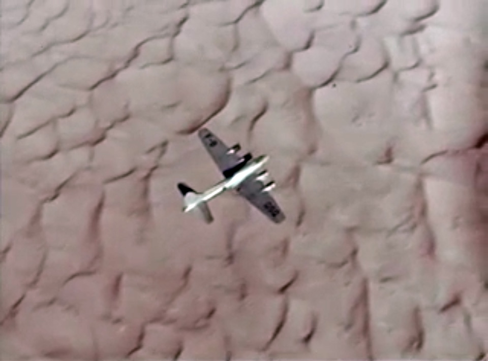
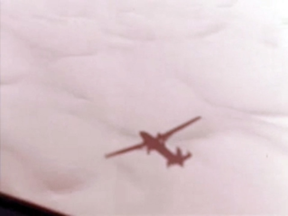
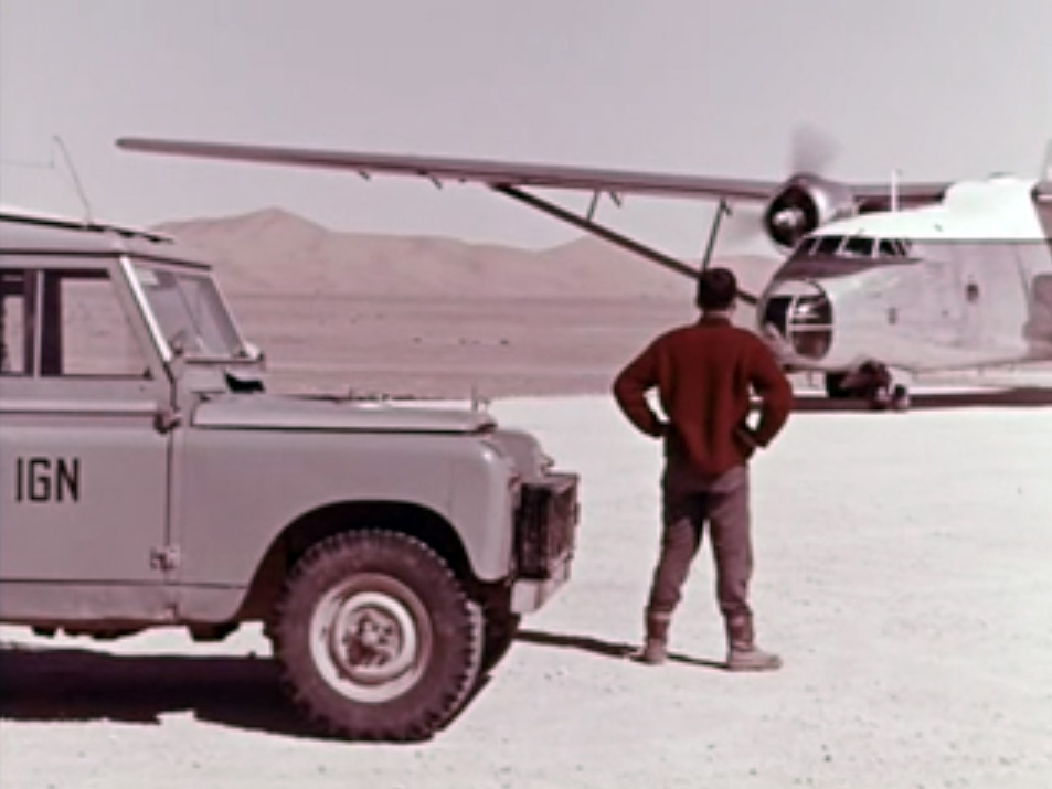
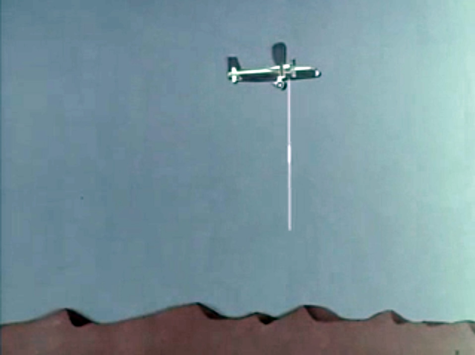
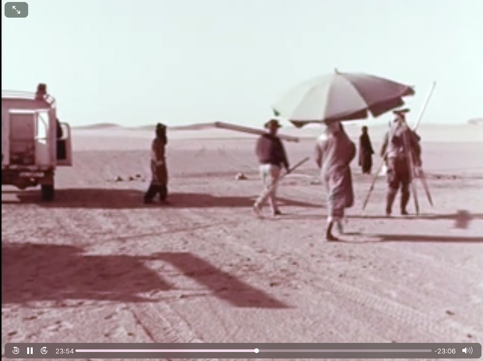
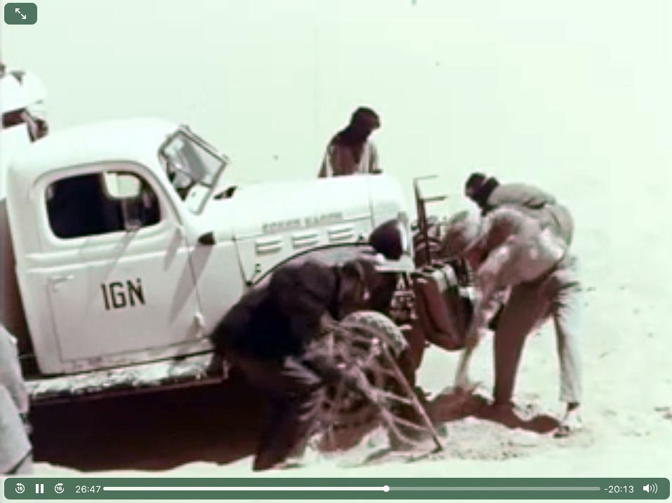
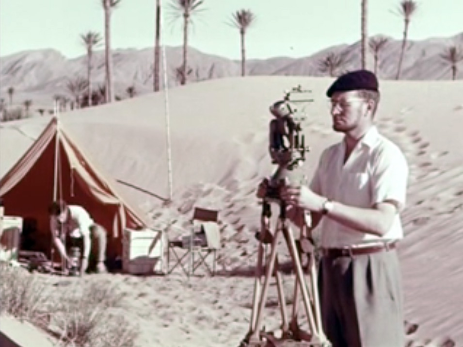
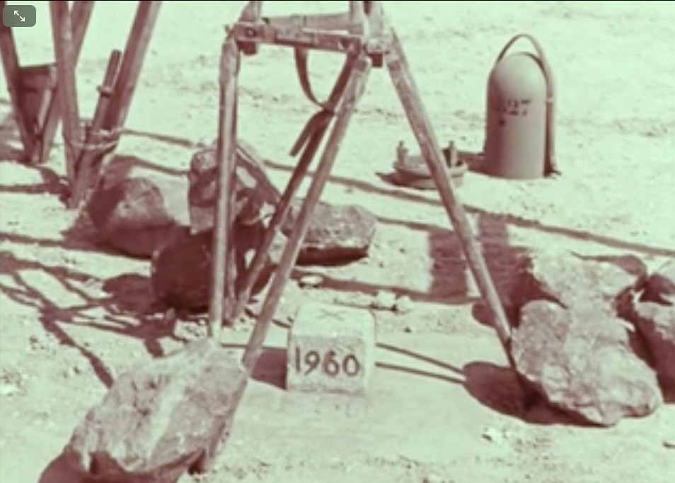
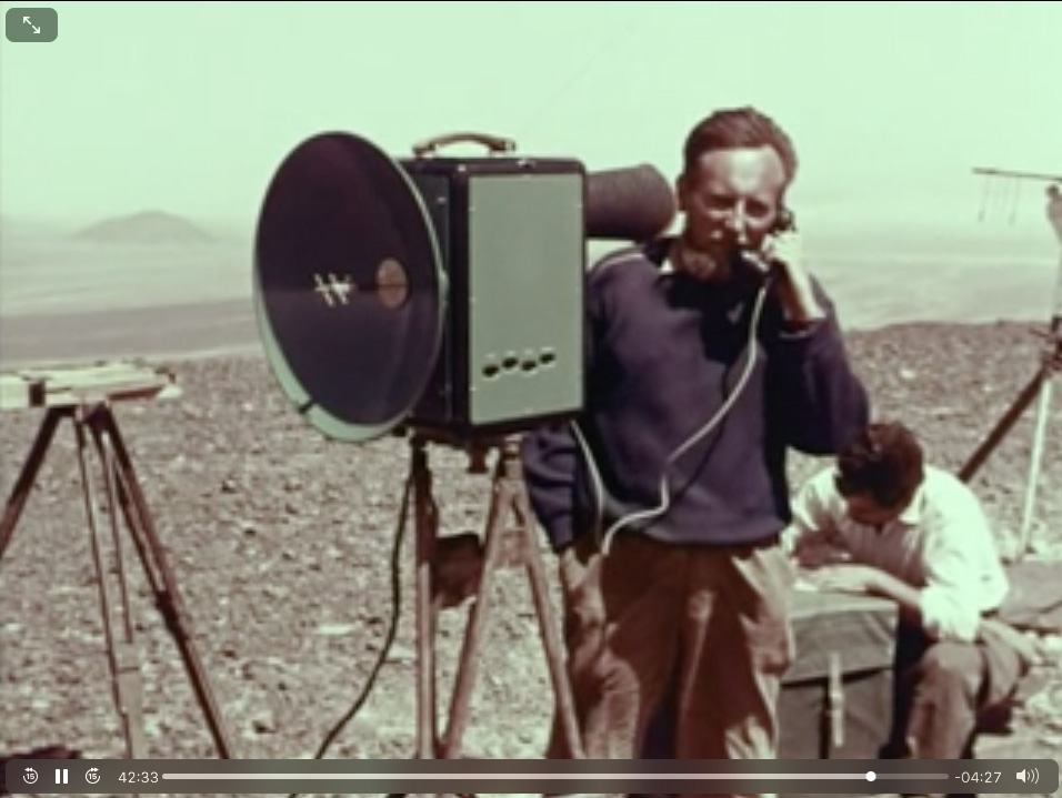
Here a fascinating 1960s vintage film (45 mins; French) on the work it took IGN to produce their brilliant 1:200,000 scale Sahara maps from thousands of aerial photos, sonar readings and laborious ground surveys. Direct link to video.

Discover more from Sahara Overland
Subscribe to get the latest posts sent to your email.

Pingback: Sahara – Blanks on the Map | Sahara Overland
Pingback: Old Saharan Trade Routes Map | Sahara Overland
Pingback: ‘V’ is for Vintage Sahara Maps | Sahara Overland
Pingback: Maps of the Sahara | Sahara Overland
Pingback: Astro fix positioning in the Sahara | Sahara Overland
Pingback: Time for my Tablet: Samsung Tab + Gaia GPS vs Montana | Sahara Overland