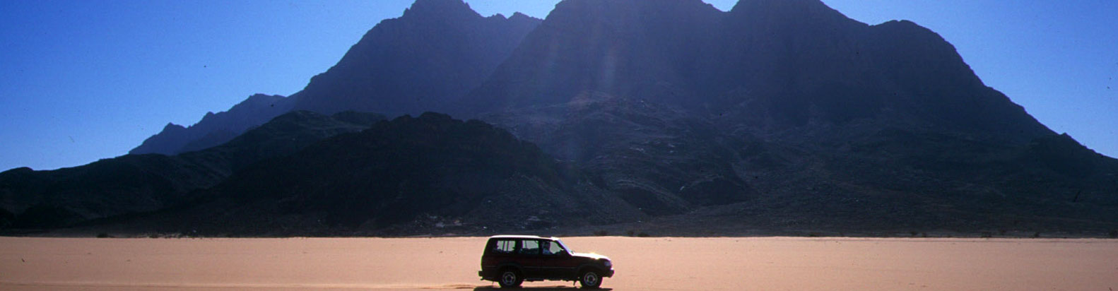
Part or the Sahara A to Z series
Also interesting
Old Saharan Trade Routes Map
‘V’ is for Vintage Sahara Maps
Maps of the Sahara
I is for IGN and their Sahara Maps
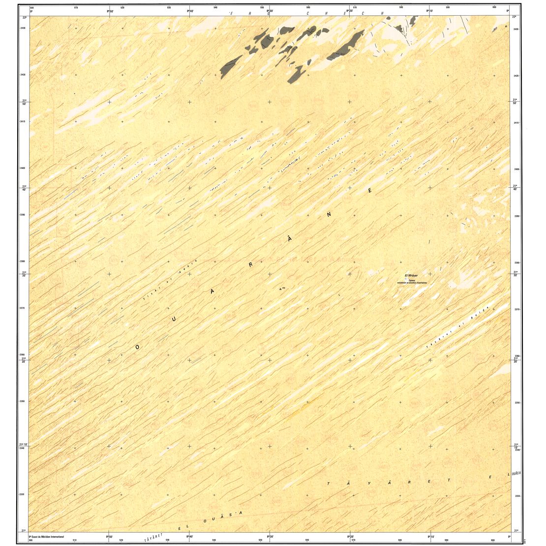
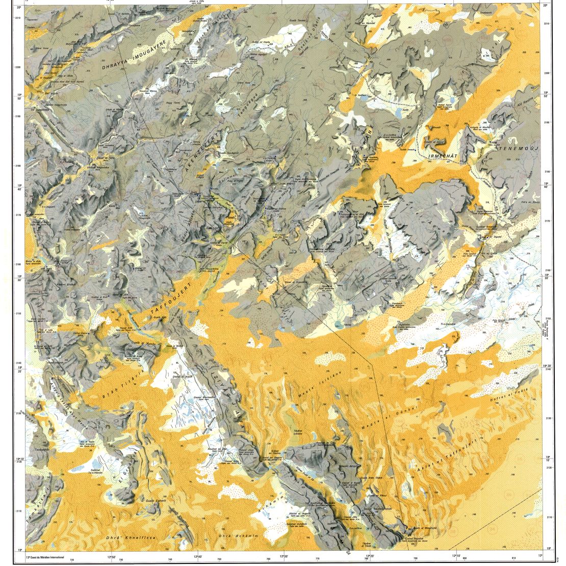
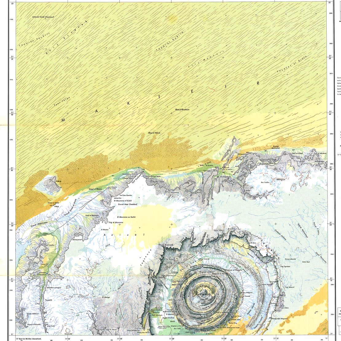
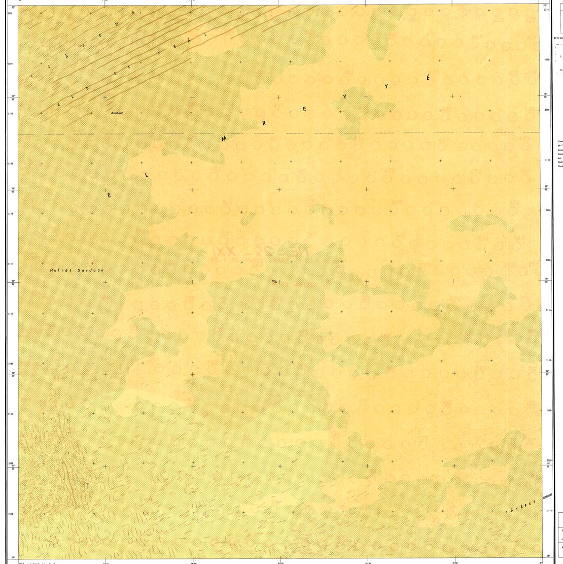
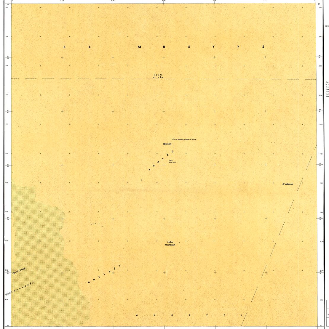
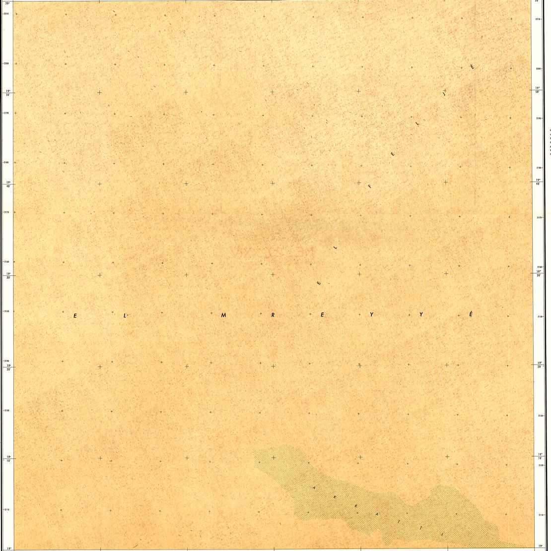
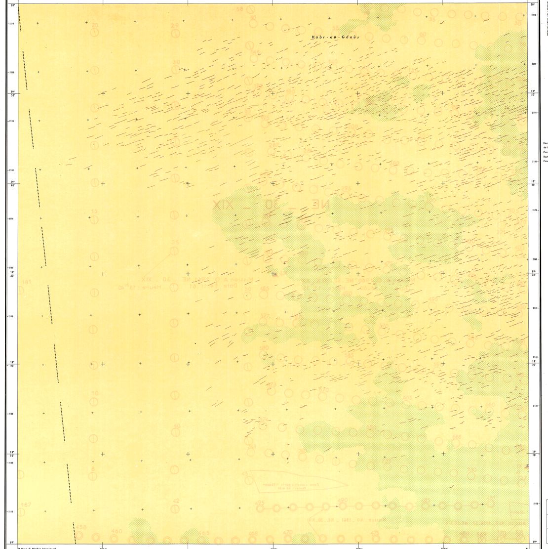
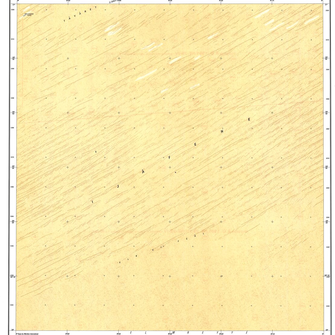
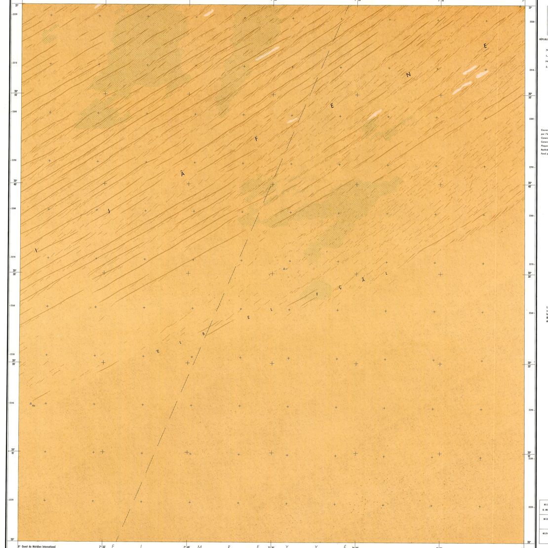
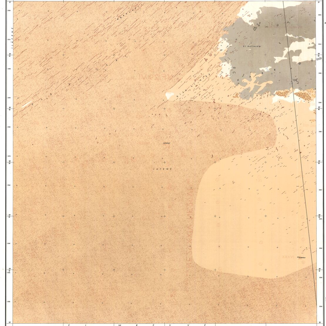
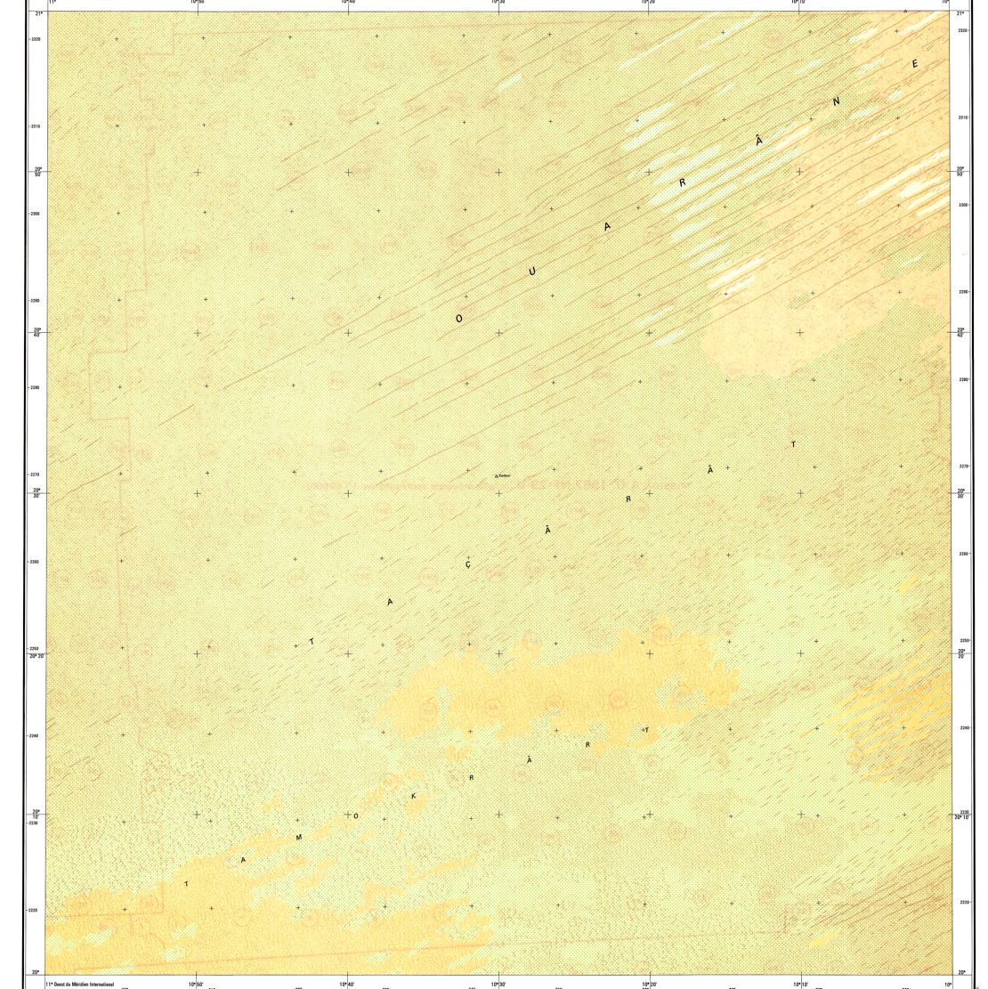
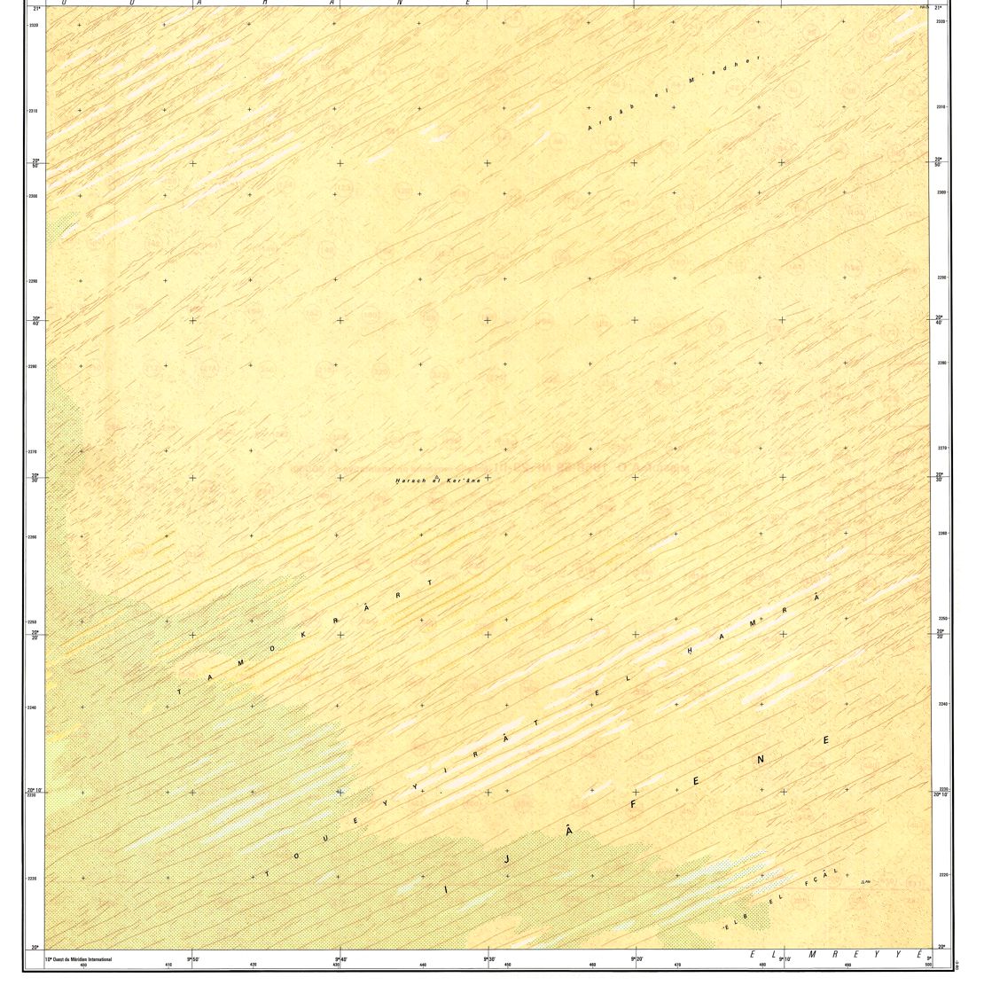
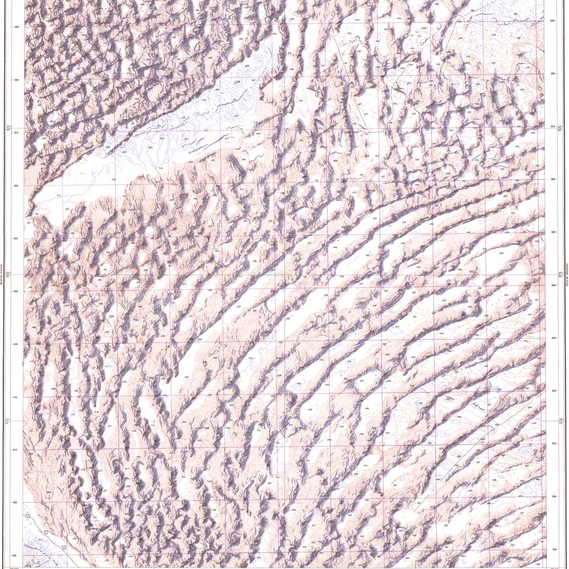
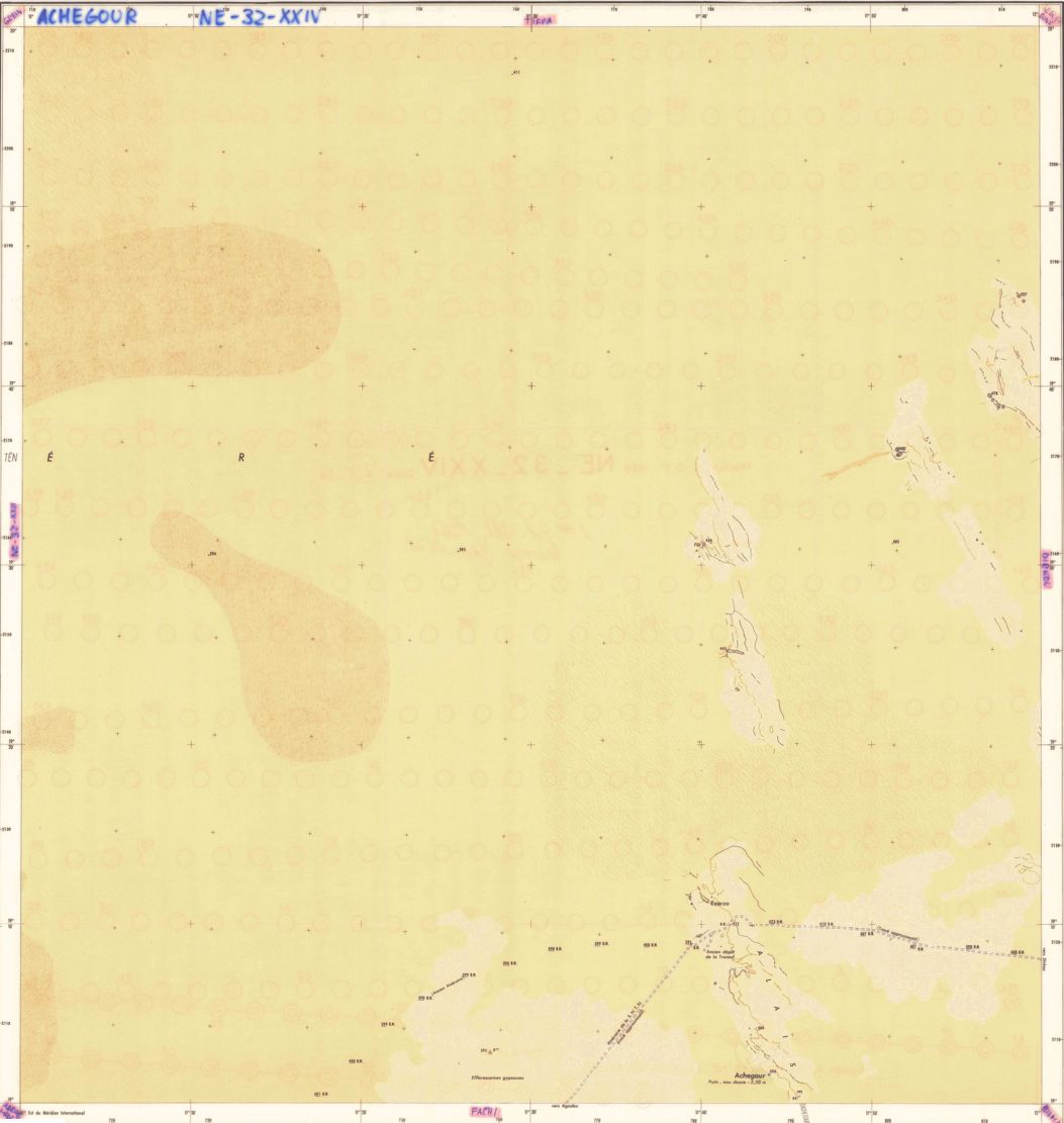
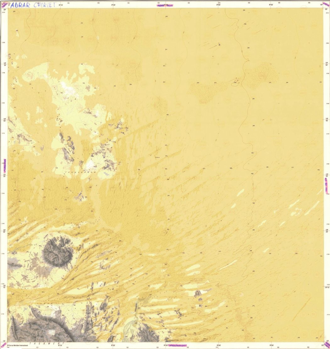
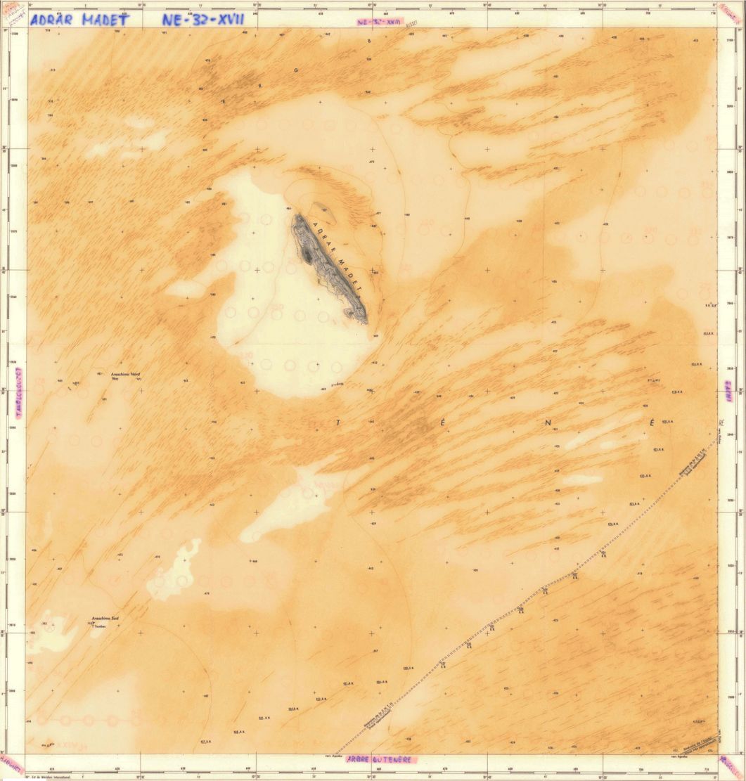
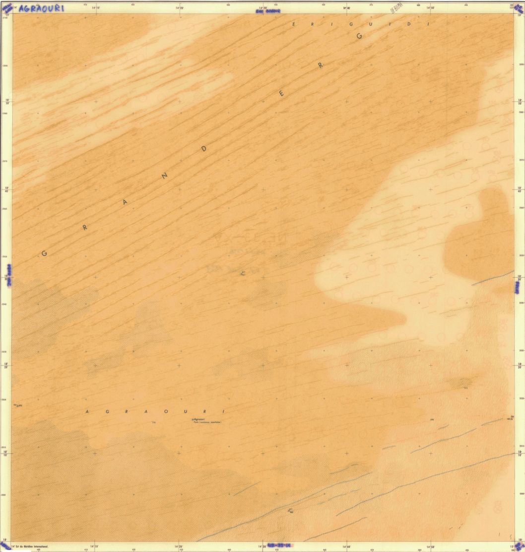
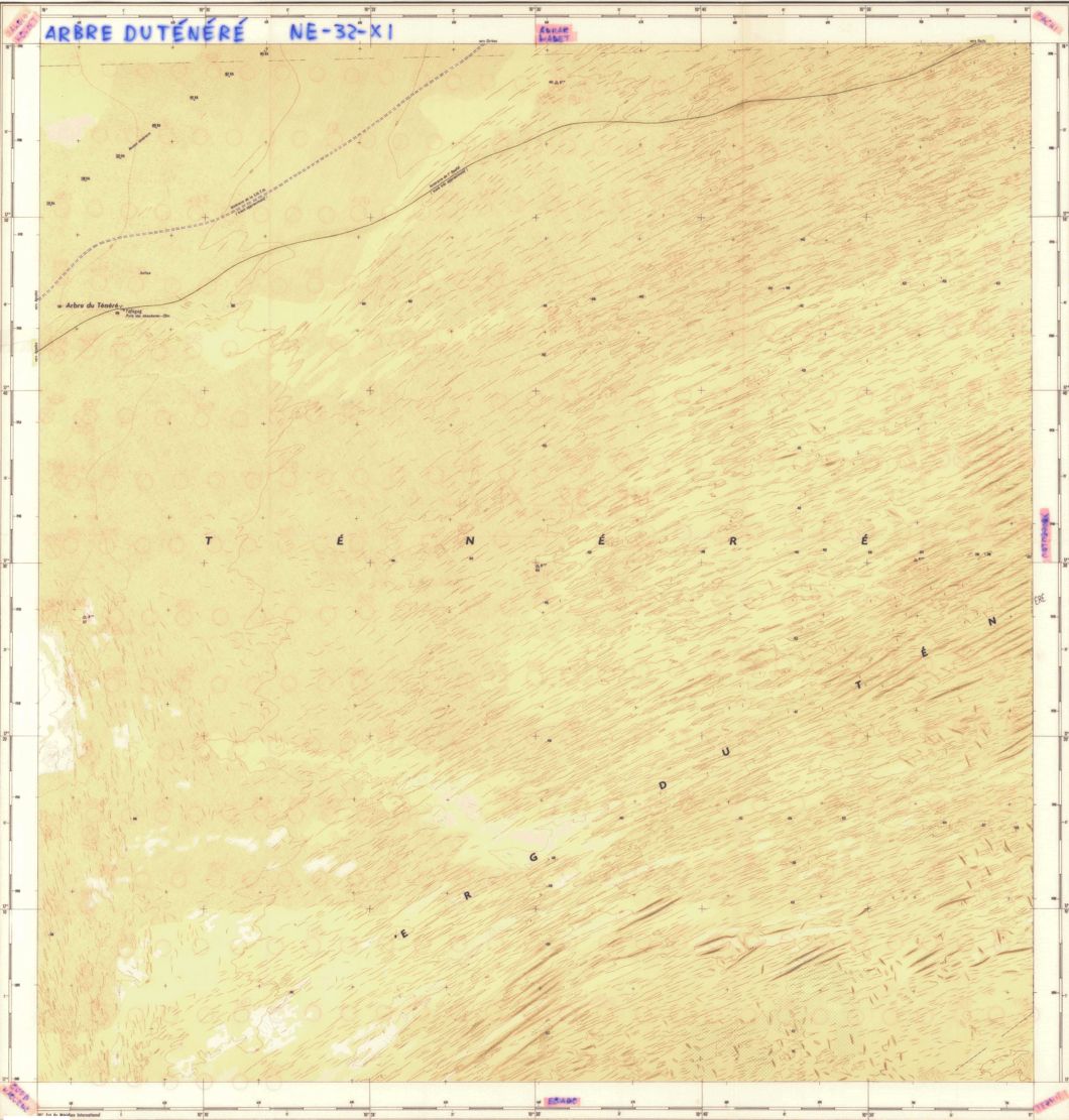
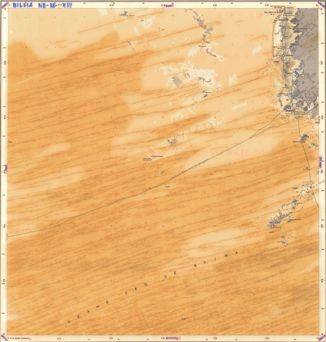
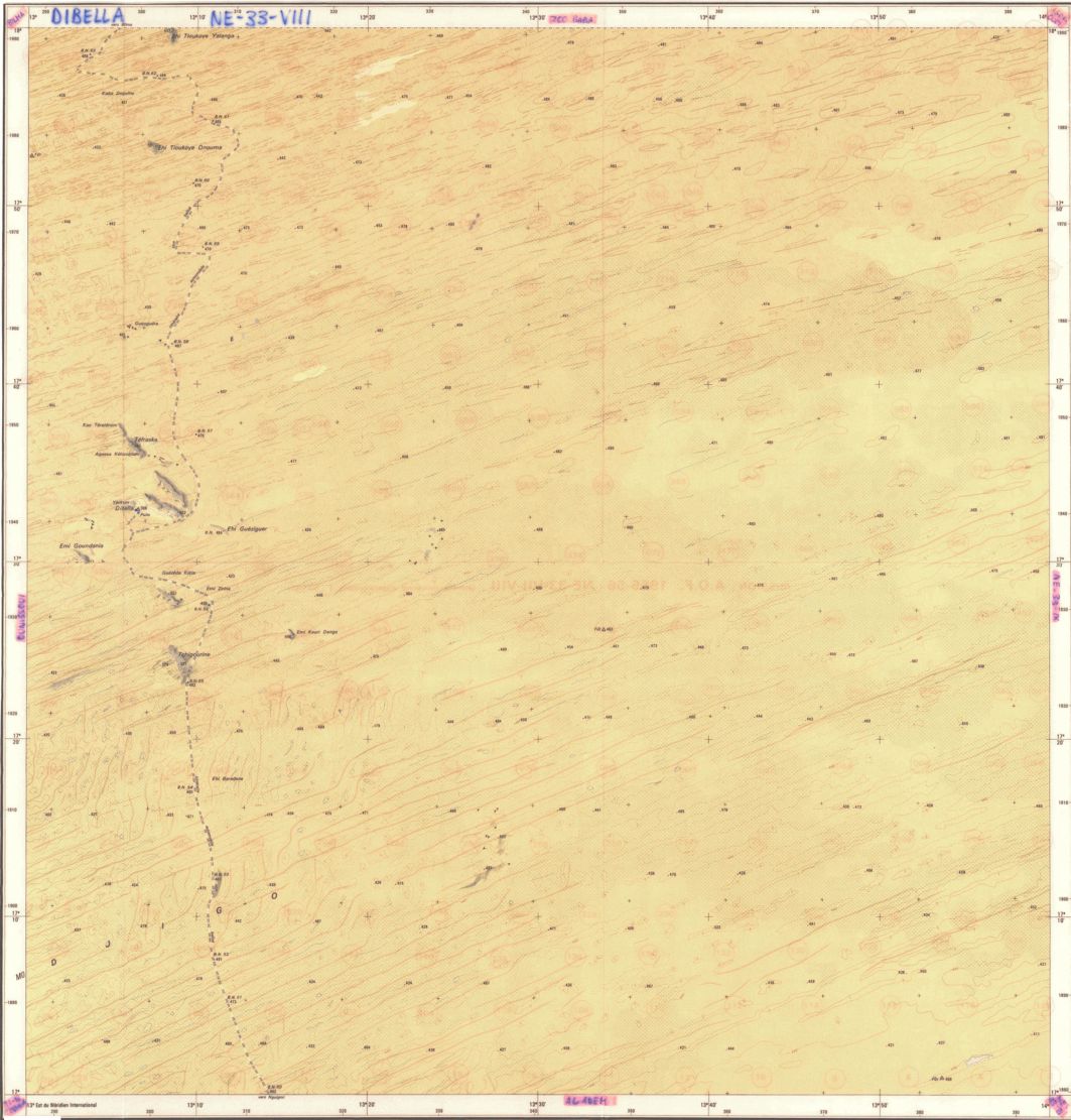
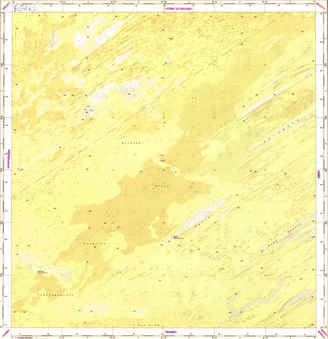
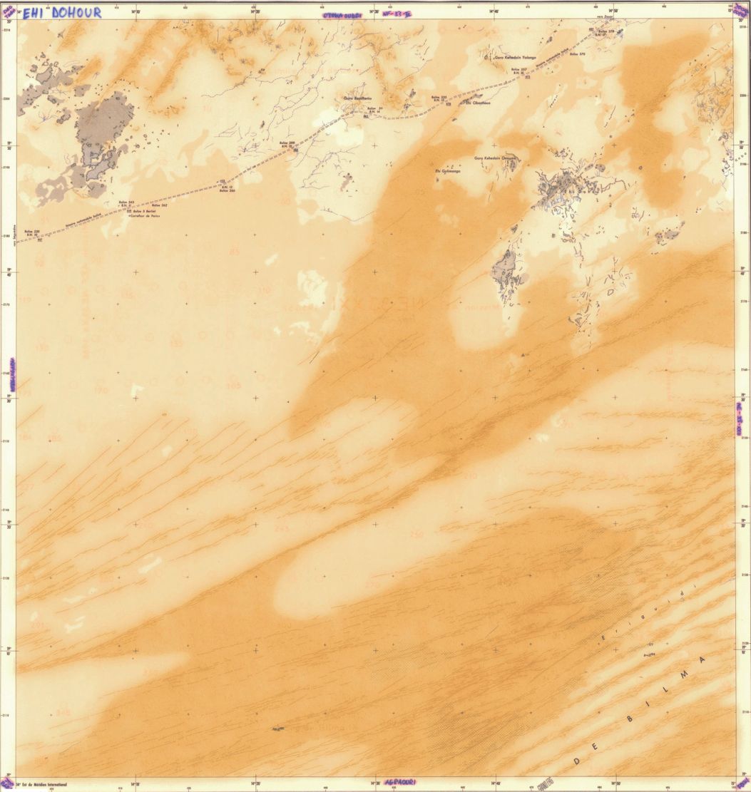
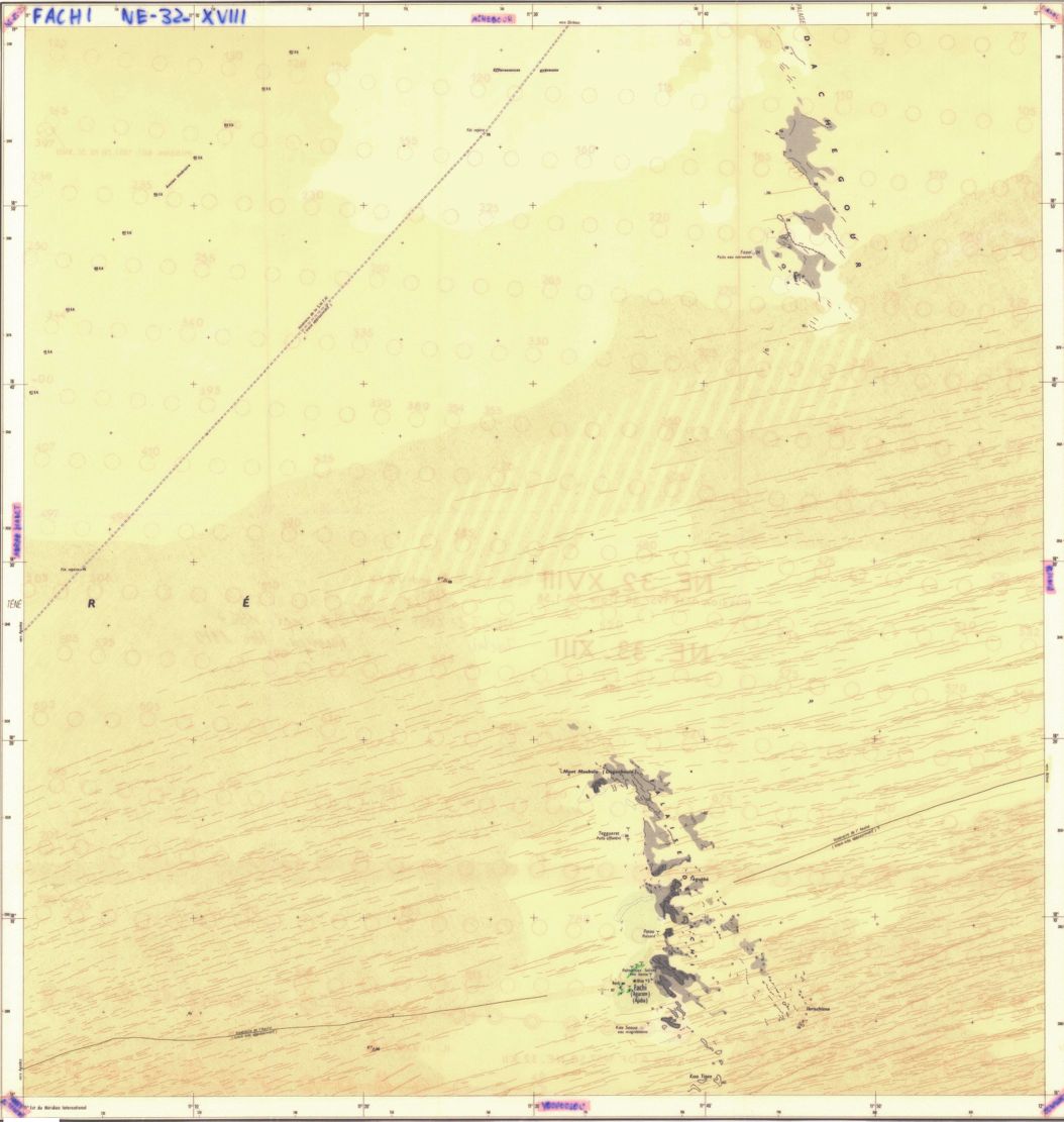
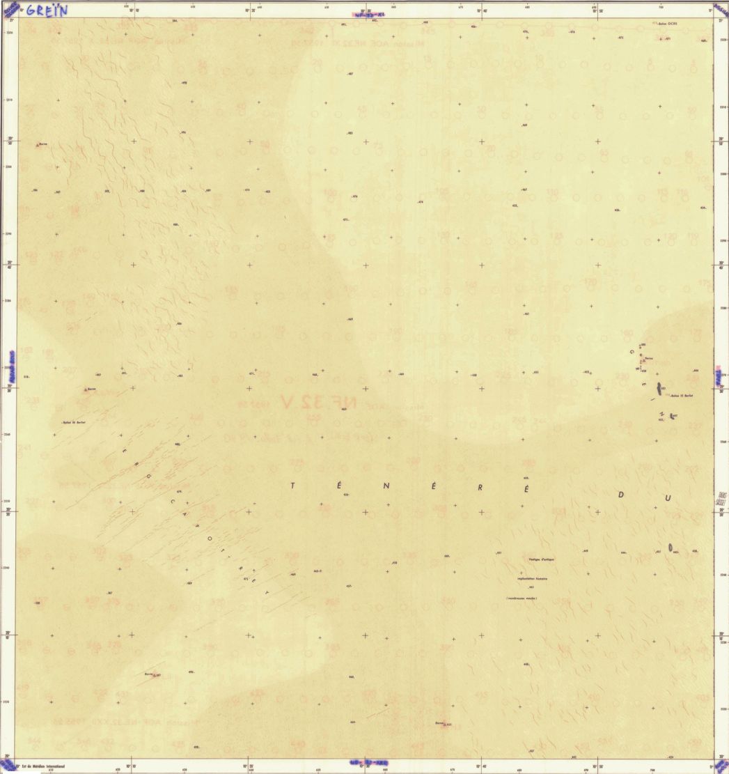
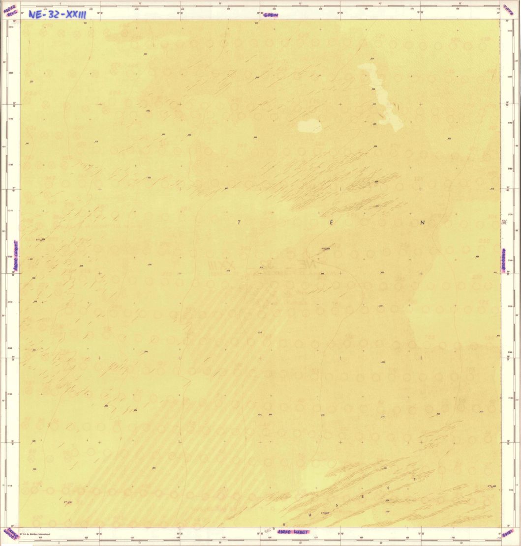
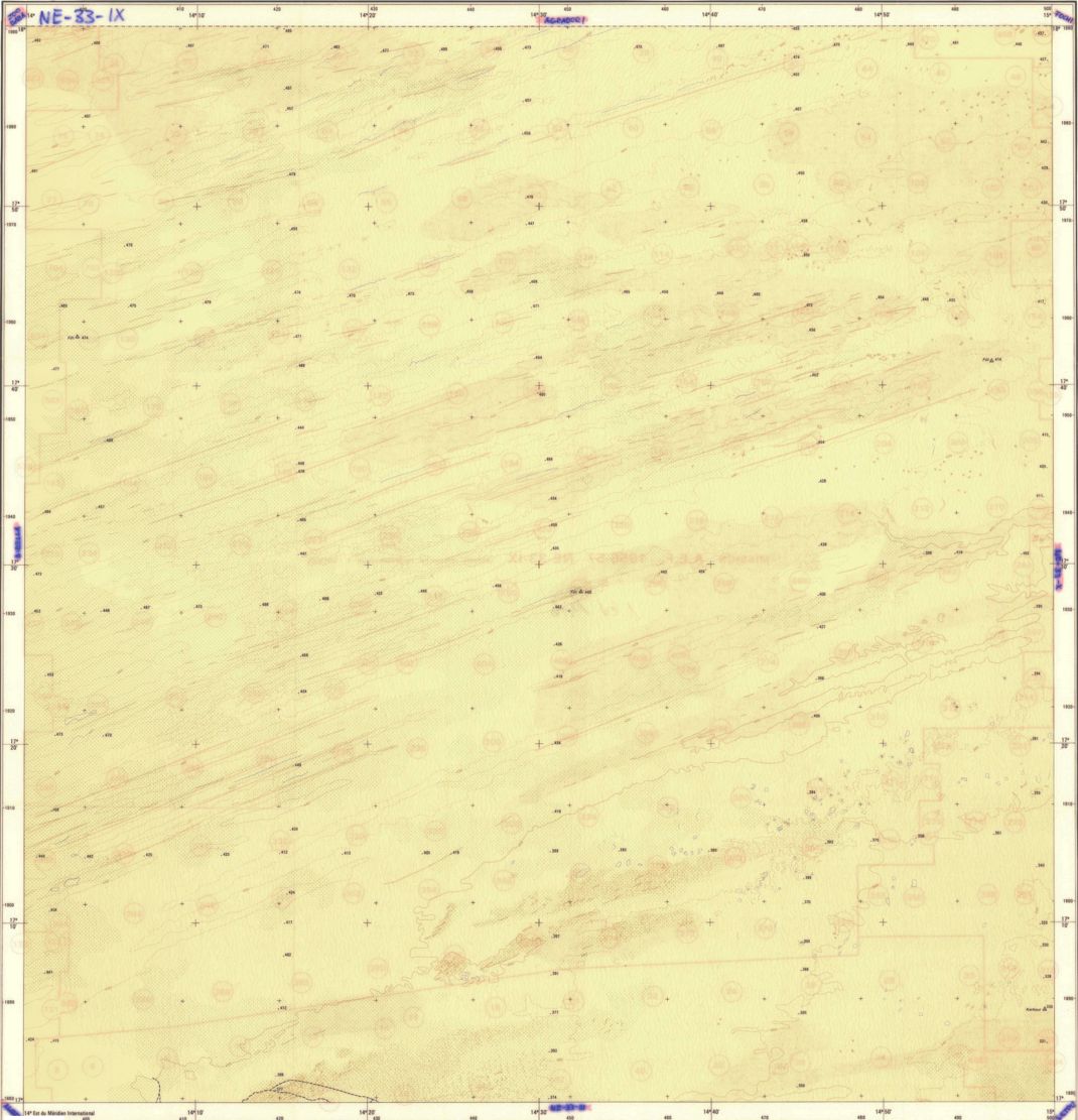
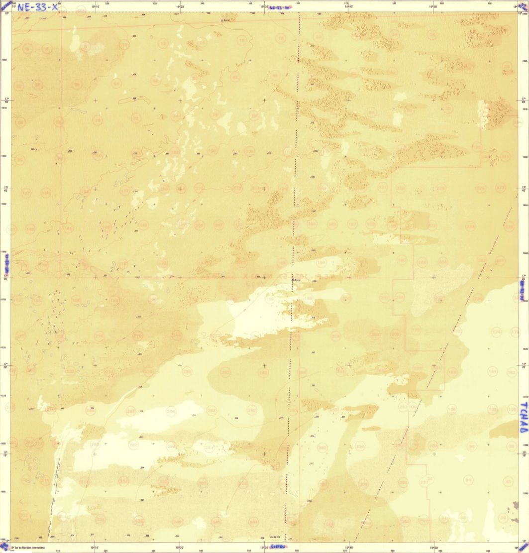
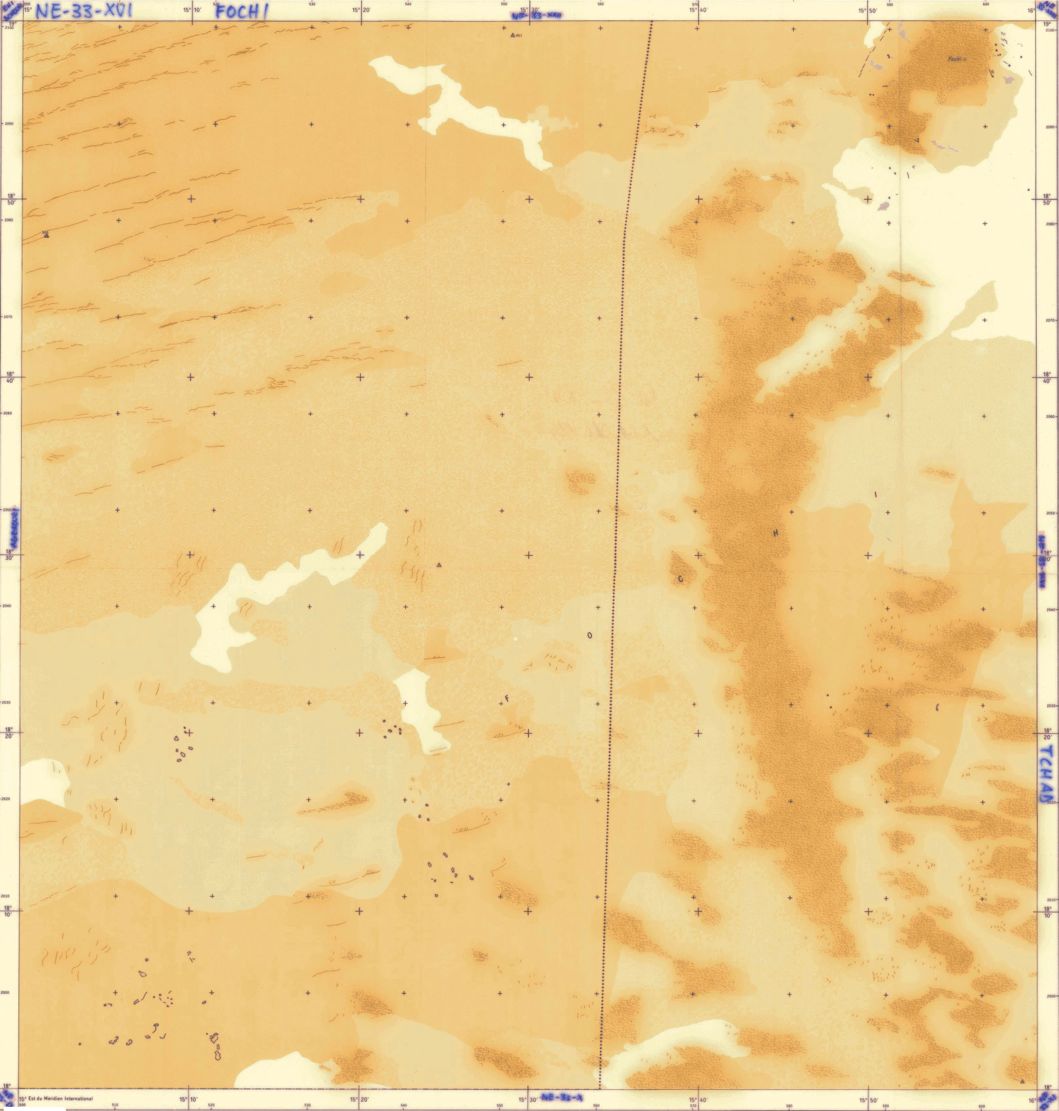
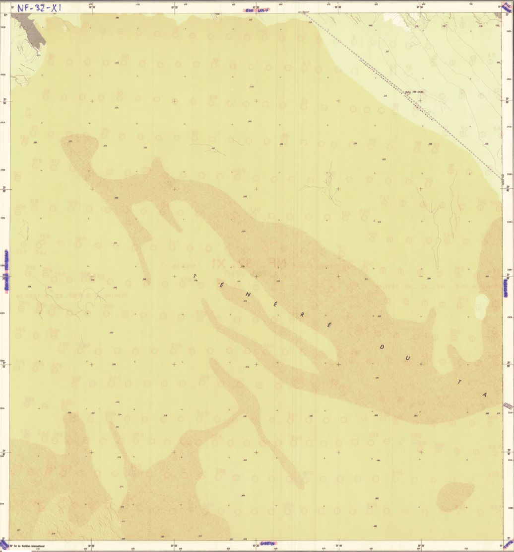
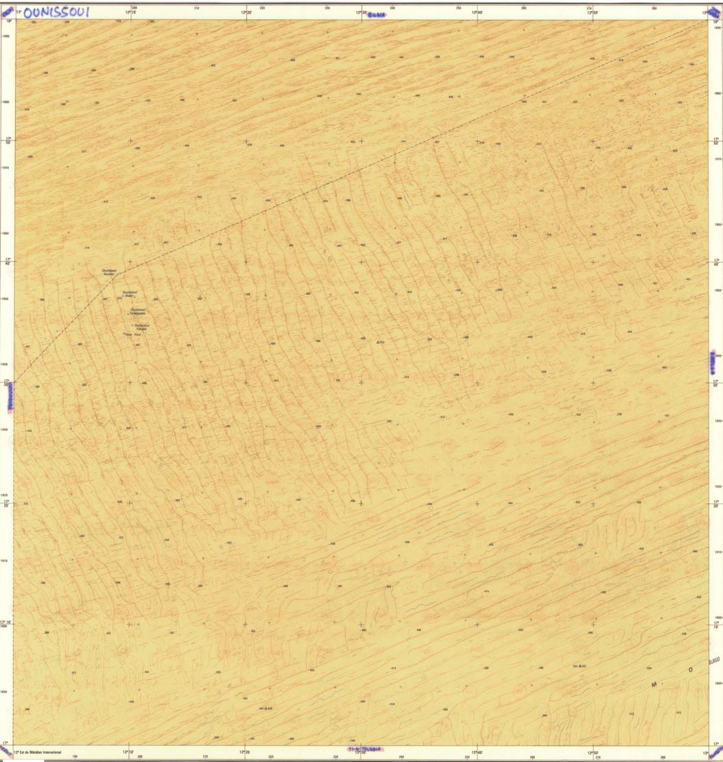
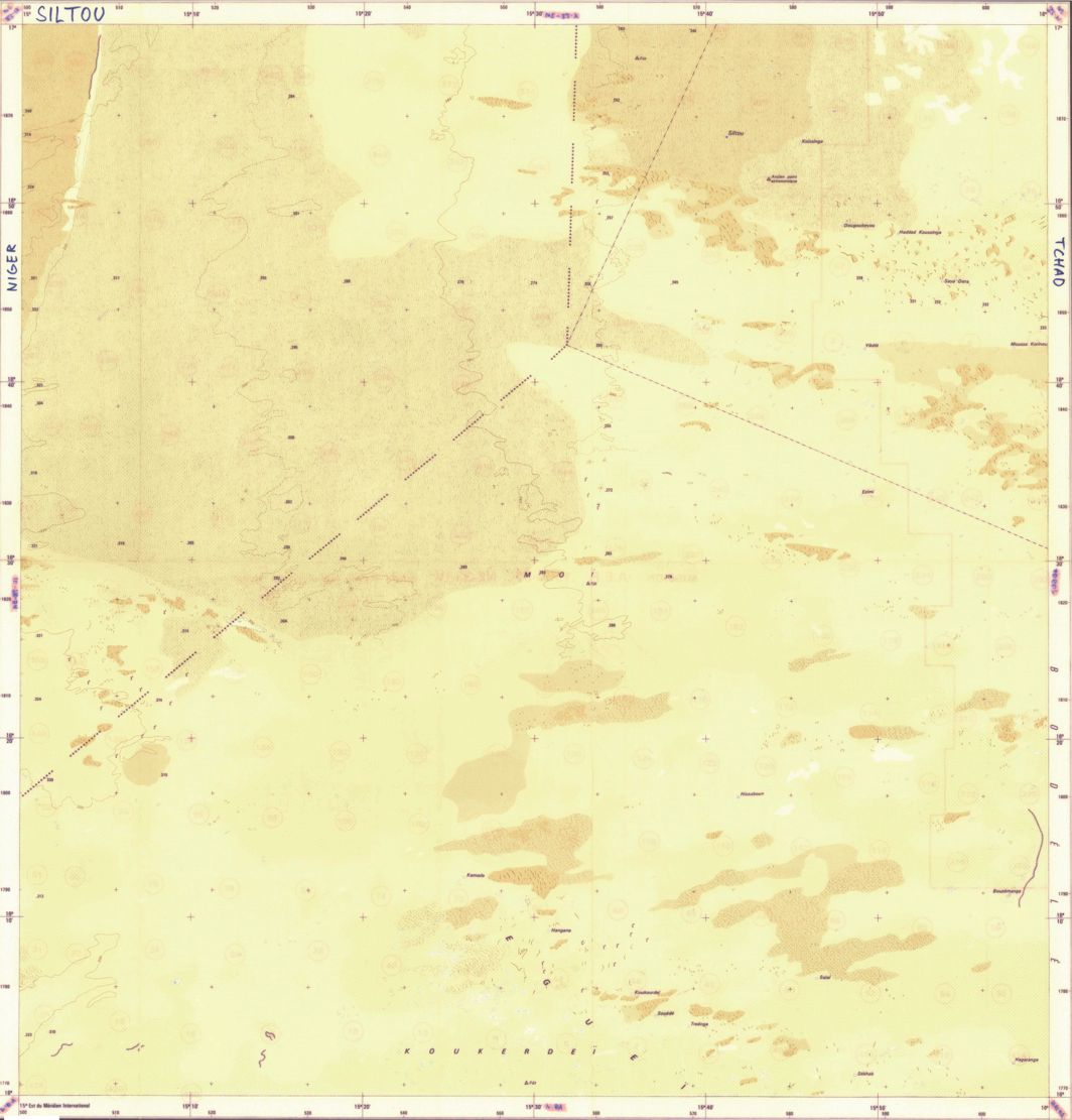
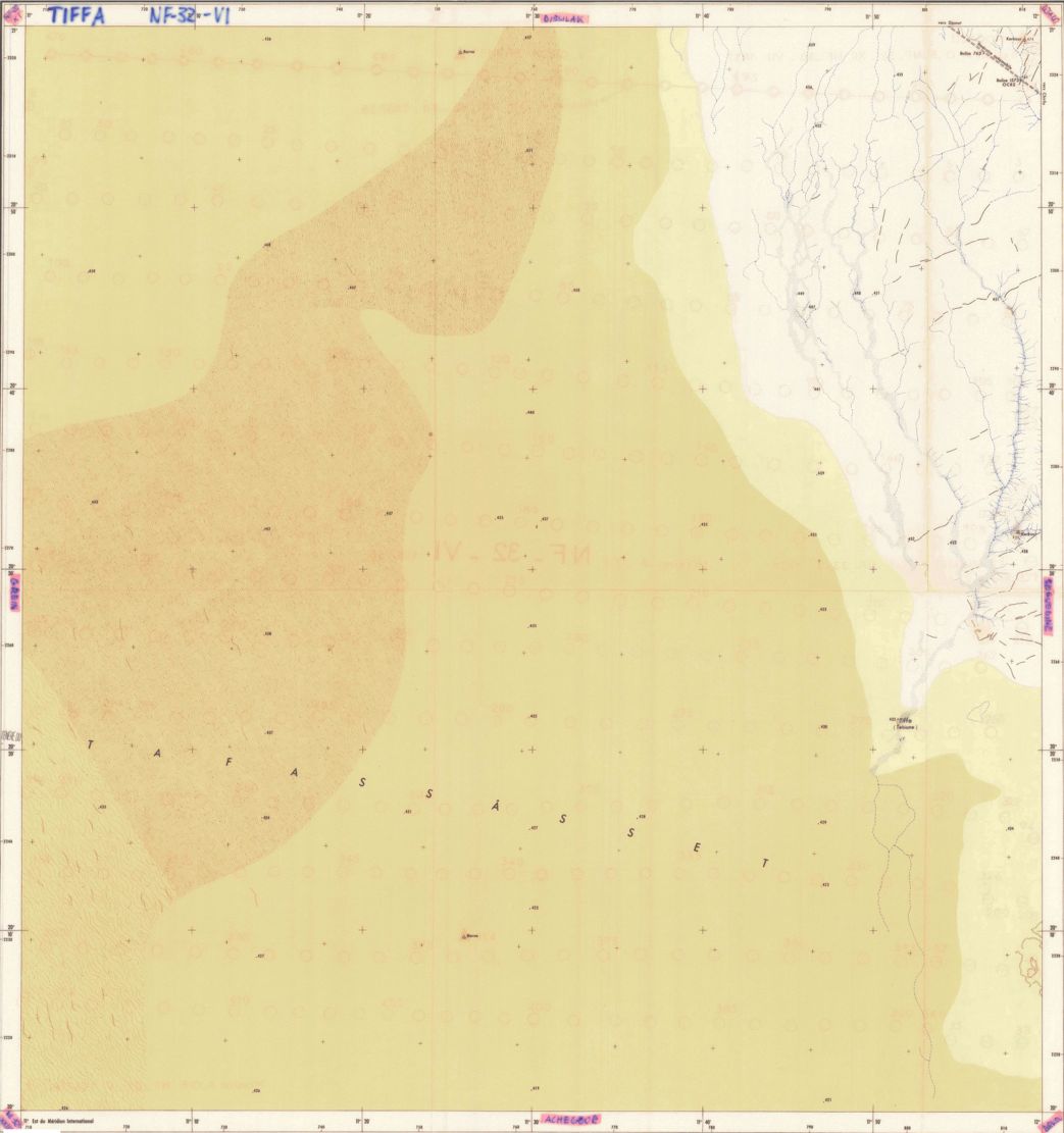
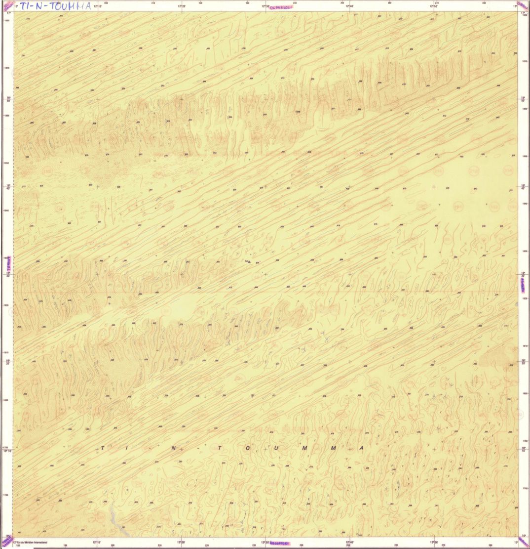
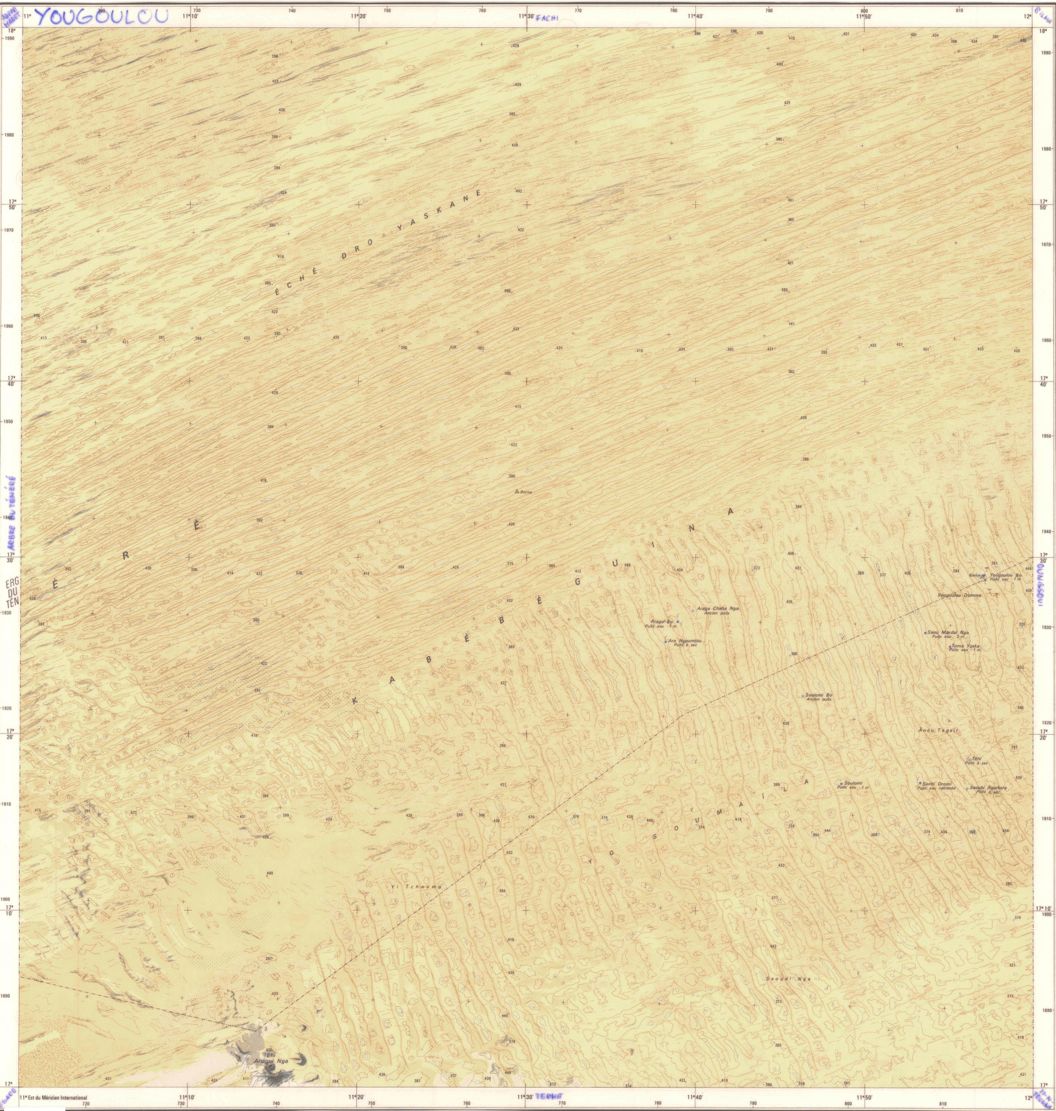
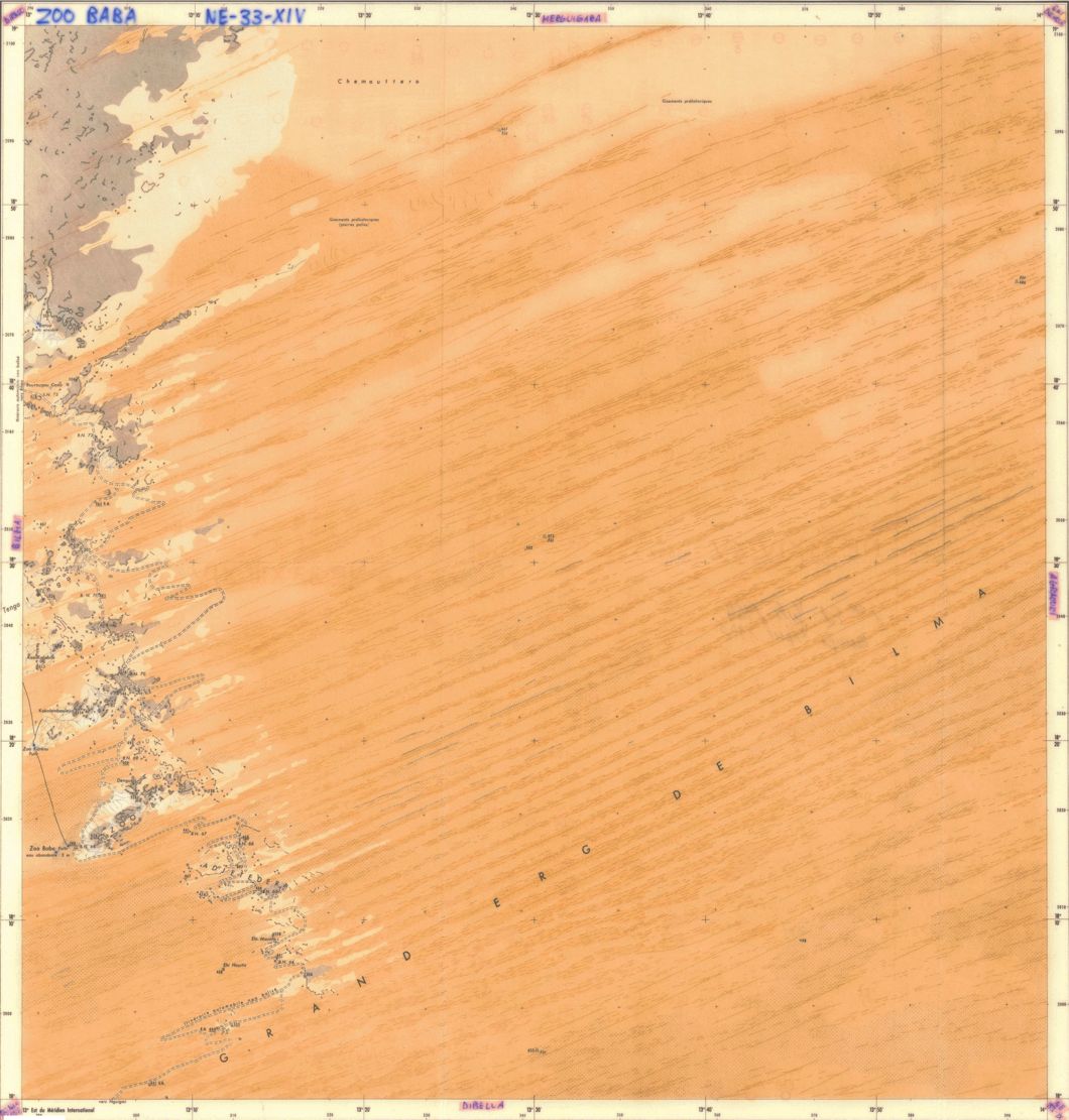
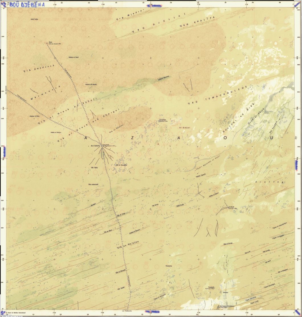
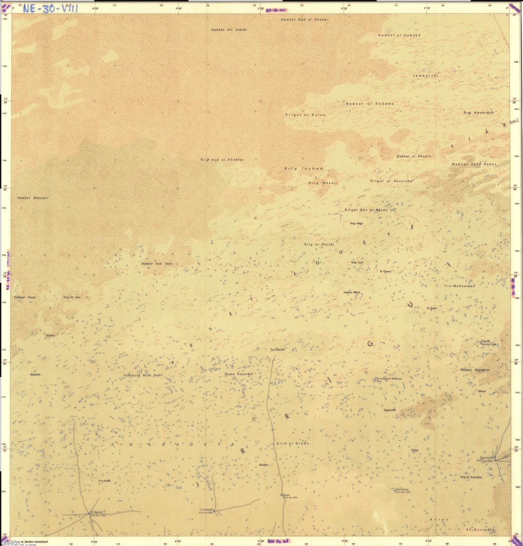
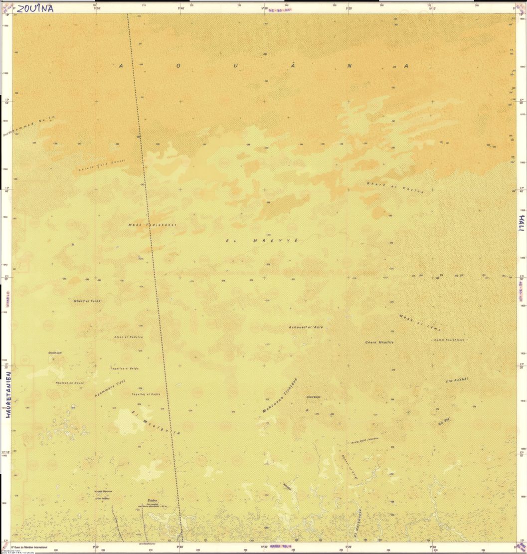
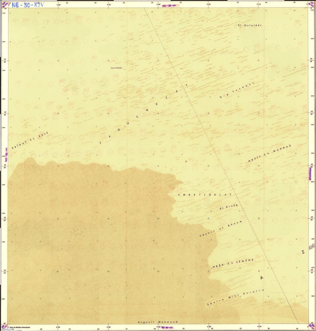
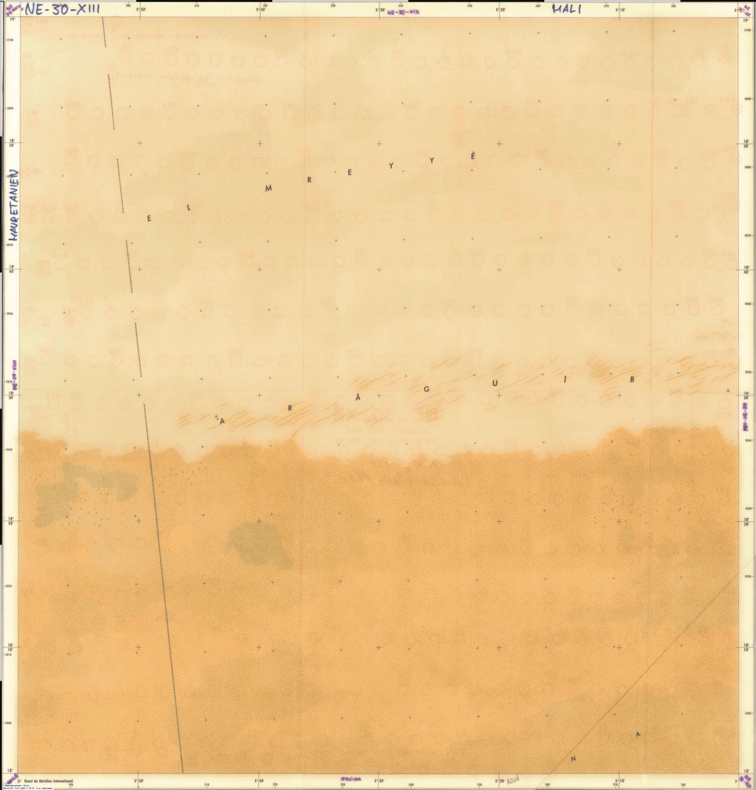
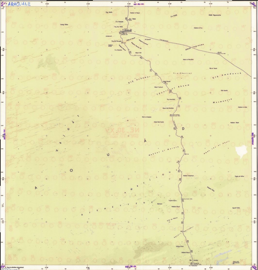
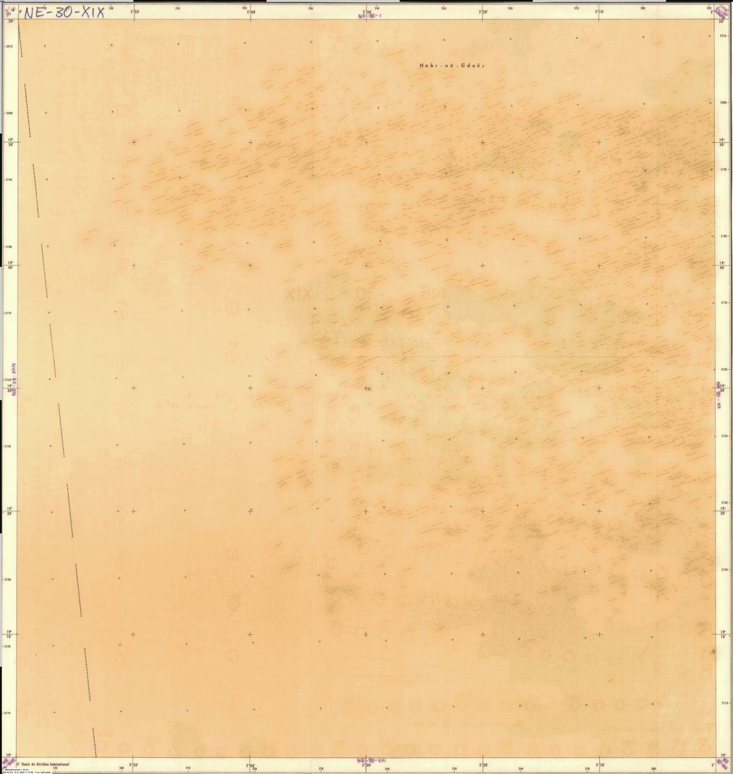
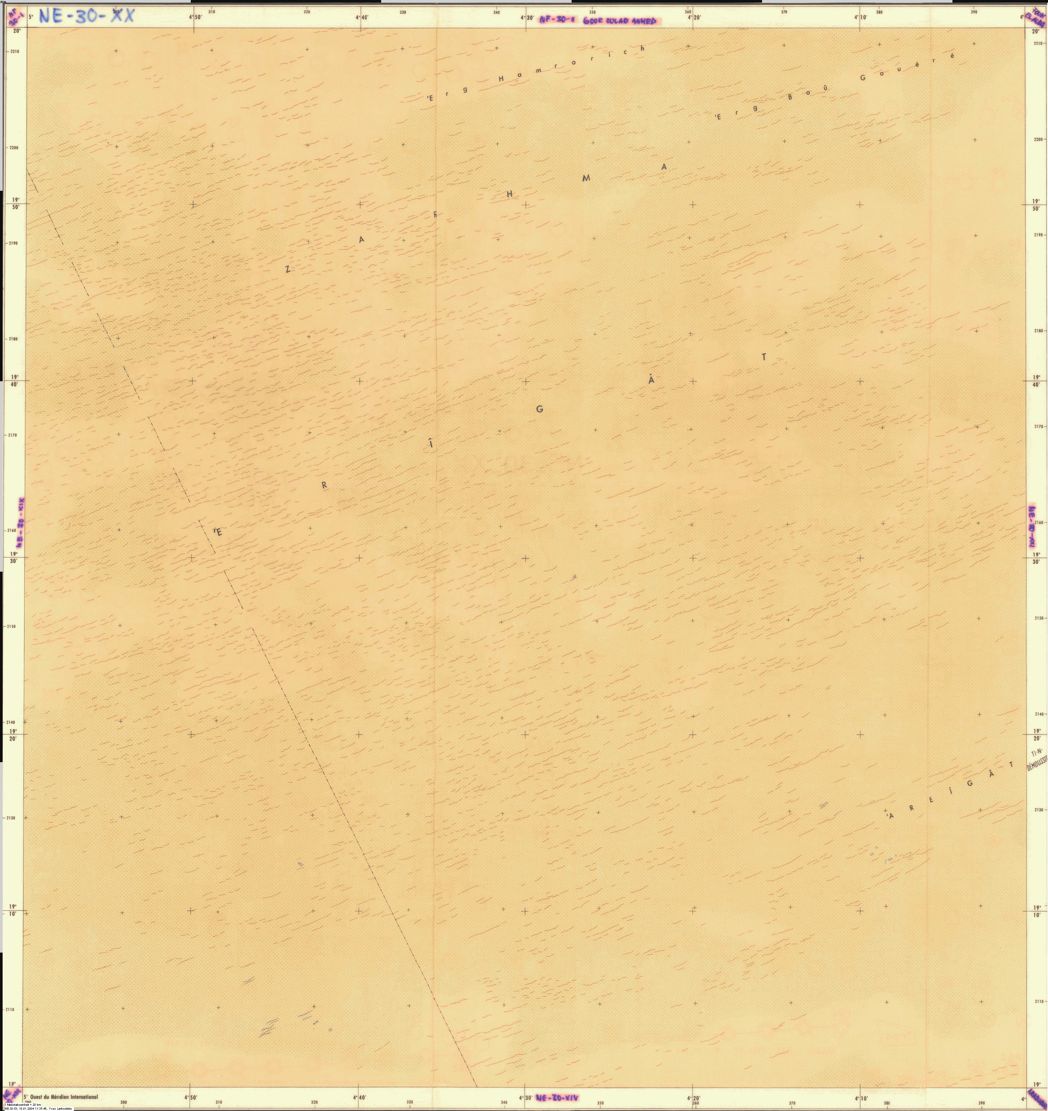
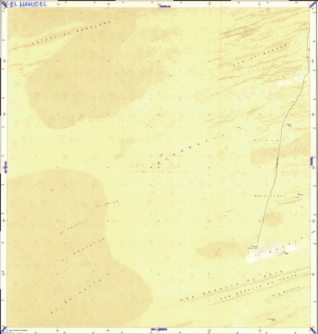
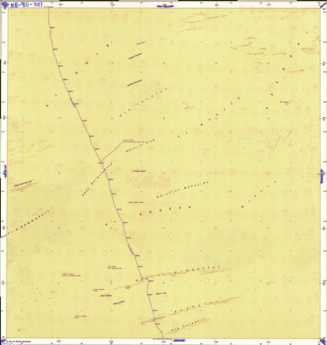
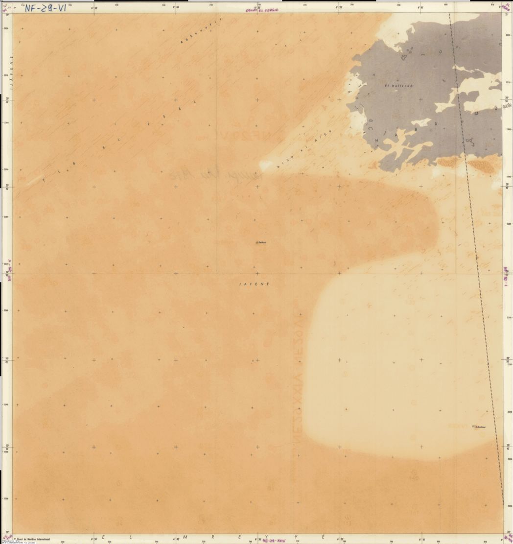
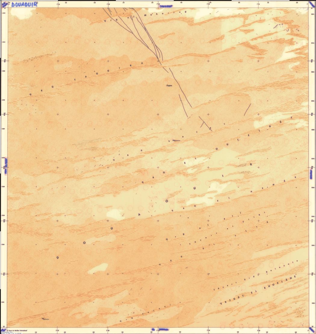
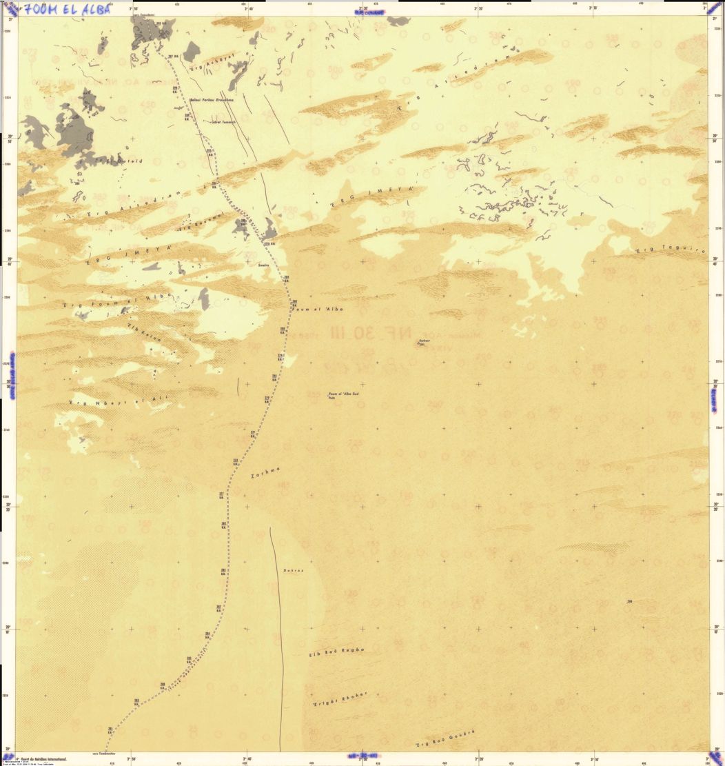
Below, a series of French 1:200,000 maps of the Sahara – from Mauritania to the western frontier of Chad. Though the maps date from the 1950s, it’s very unlikely that Google Earth would reveal any more detail today. A couple of sheets from the central Mauritanian plateau and an eastern Algerian erg are included to show the mapmakers weren’t just being lazy – there really was nothing to show.
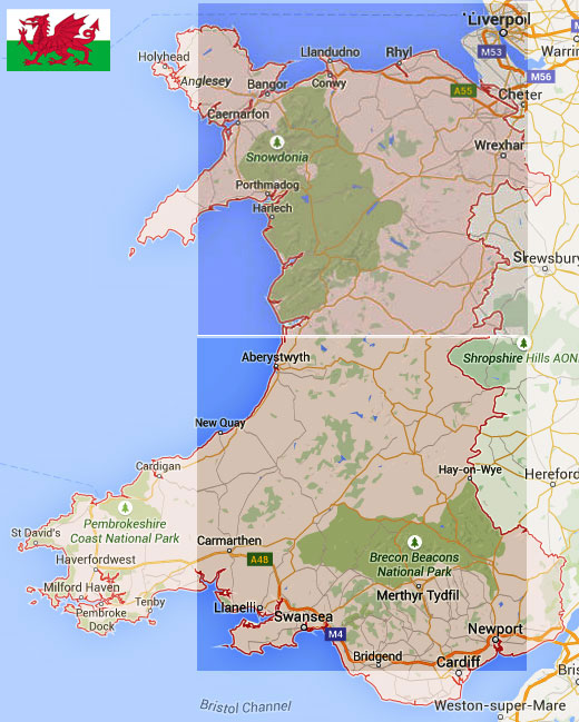
Each map covers one square degree of the Earth’s surface, which in Saharan latitudes adds up to over 12,000 km2. Just two of these maps would cover Wales (right).
Discover more from Sahara Overland
Subscribe to get the latest posts sent to your email.

Pingback: ‘O’ is for Old Sahara Maps | Sahara Overland
Pingback: Garmin Topo North Africa Map Reviewed | Sahara Overland
Pingback: Old Saharan Trade Routes Map | Sahara Overland
Pingback: Maps of the Sahara | Sahara Overland
Pingback: ‘I’ is for IGN: How they made their Sahara Maps | Sahara Overland
Pingback: How to Travel the Sahara: Safety, Logistics, Routes
Pingback: How to Travel the Sahara: Safety, Logistics, Routes - Egypt Tours 36 %
Pingback: How to Travel the Sahara: Safety, Logistics, Routes | Egypt36
Pingback: How to Travel the Sahara: Safety, Logistics, Routes | Vacation Inspiration