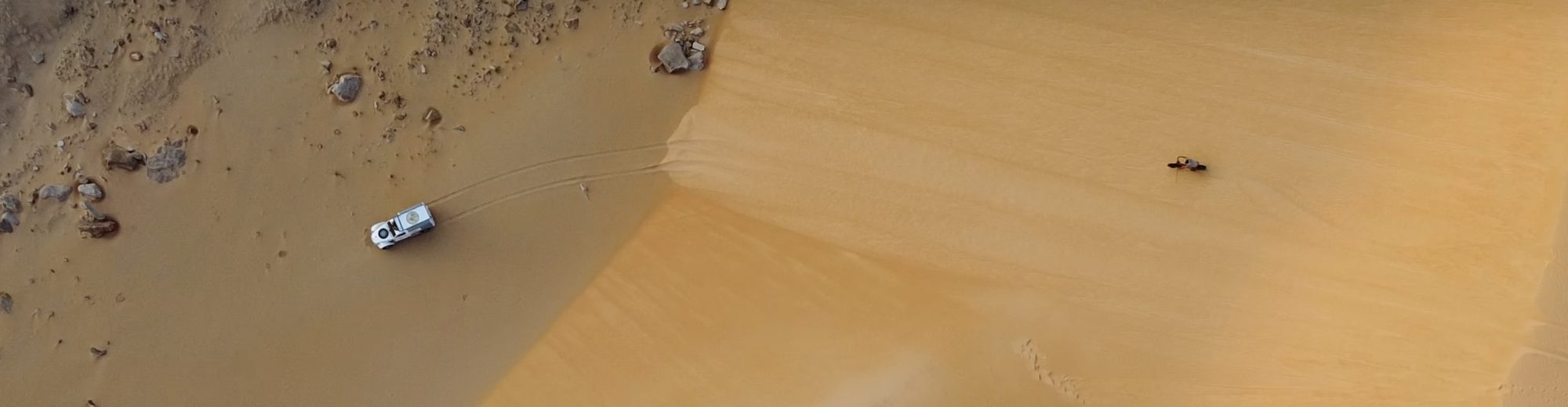
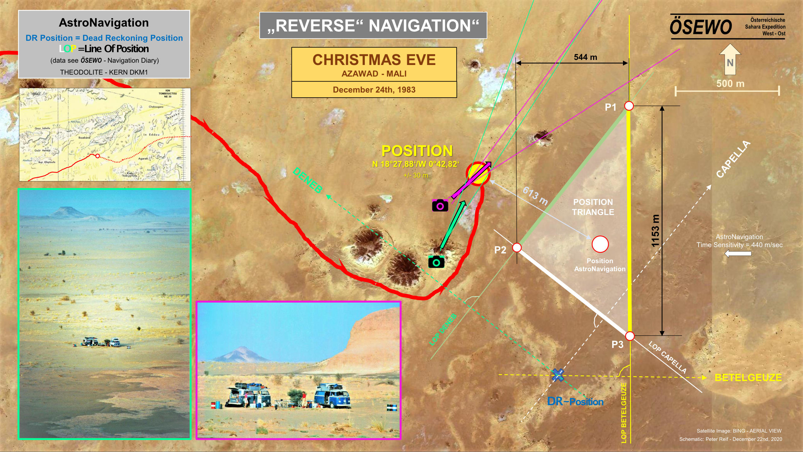
I recently received this interesting graphic from Austrian desert traveller, Peter R. In the winter of 1983-4 he and another T2 VW set off from Mauritania to cross the Sahara from west to east. Christmas Eve 1983 found them here, about 200km southwest of Aguelhok in northern Mali.
On that trip, which included a lot of driving off-piste, they used laborious astro-fixing to establish their position, when needed. The IGN maps of the era were (and still are) very good, and identifying distinctive isolated peaks or similar formations from maps helped with orientation.
Decades later Peter was able to pinpoint his festive position much more accurately combining high-resolution aerial Bing Maps imagery and the angles of the distinctive hills around them from photos taken on that day. Doing so revealed their astro fix position was about 600 metres off to the southeast, and their initial Dead Reckoning estimate was only about a kilometre to the SSE. Not bad at all.
I’ve never tried astro-nav nor met anyone who did it, even for a laugh. By the time I was exploring the desert away from pistes (where an accurate position is more useful), civilian GPS was available. Pre-GPS, I did occasionally use prominent landmarks for orientation by taking a bearing with a sighting compass, though my bike’s odometer (trip meter) was by far the most useful navigation aid, telling me how far I’d gone along a track; a form of dead reckoning which was easily estimated on a 1:1m scale IGN map where a 1mm equalled a kilometre on the ground.
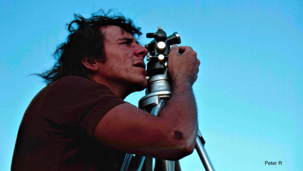
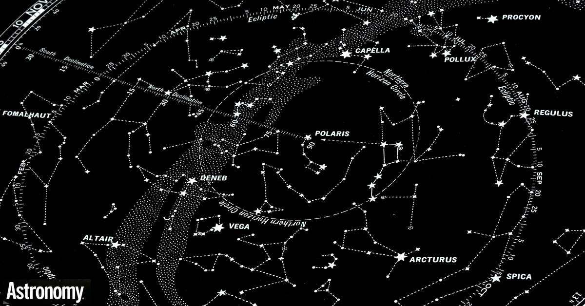
Looking at Peter’s graphic makes me realise astro-fixing might also be a form of triangulation as one would use on land in a 2D plane. Except astro is in 3D and also requires accurate times combined with precise angles (declination) and bearings (azimuth) of easily found ‘landmark’ stars (above: Capella, Betelgeuse and Deneb) to triangulate a position on the ground. To measure these angles you need a tripod-mounted theodolite – as Peter’s group used for greater accuracy. You then need tables to convert you timing and other data into a terrestrial position. Around this time I remember certain calculators – you might even call them mini computers – became available which halved the time it took to secure a position to 45.
I suspect there’s probably a lot more to it than that. Here’s a lengthy report about experimenting with sextant (more suited to boats) positioning in the Sahara. The user averaged an error against GPS of 4km which makes Peter R’s reading all the more impressive (though it wasn’t done with GPS but photo orientation and triangulation)
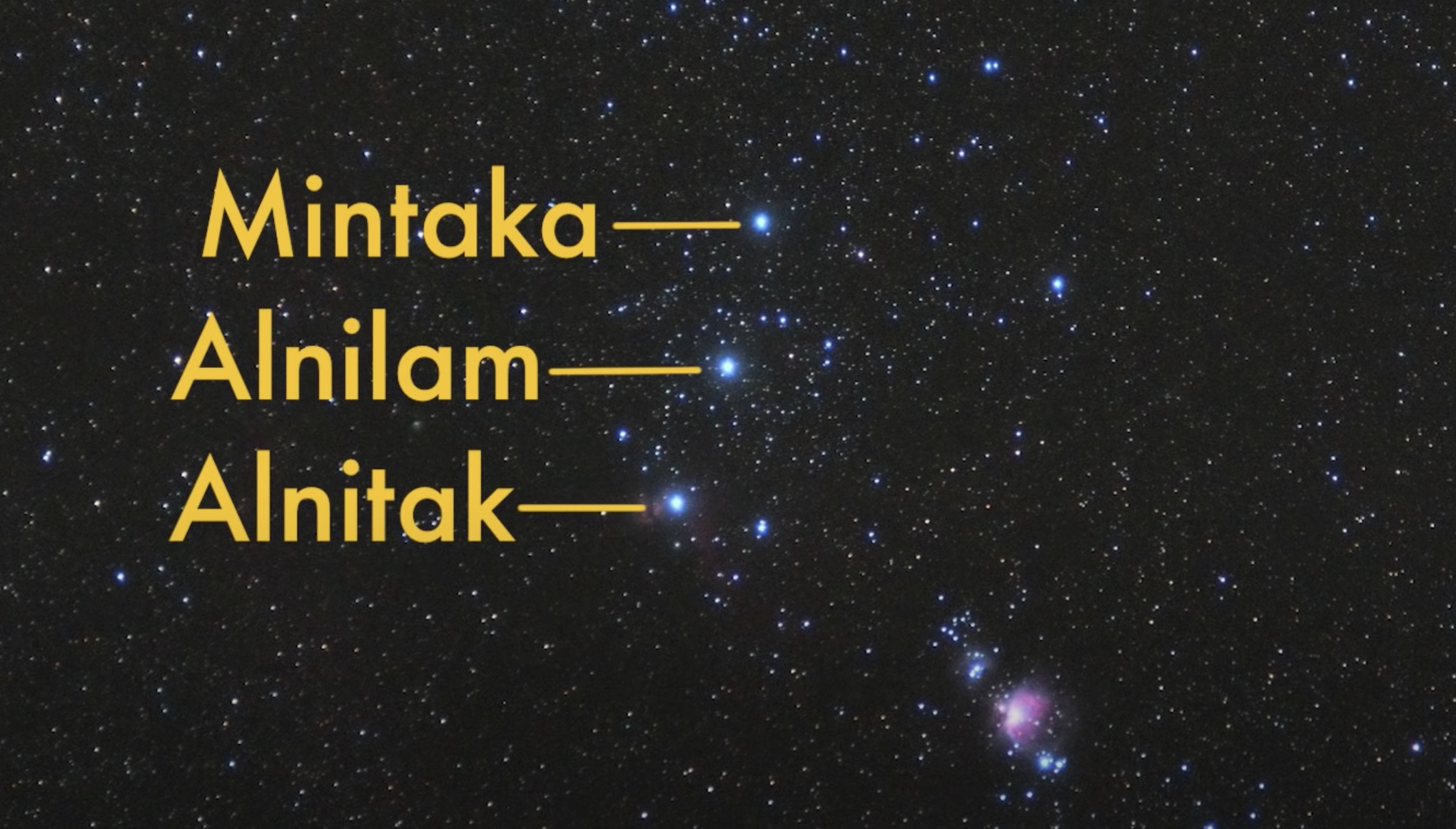
I never knew so many stars were named. For example Orion’s Belt (which I’ve always seen as one side of an arrowhead pointing just west of north) is composed of Mintaka, Alnilam and Alnitak. And the two ‘pointer stars’ on the end of the Plough (aka: Ursa Major; Big Dipper) which lead to Polaris, are called Dubhe and Merak. (More here about how Polaris works). All these names sound Arabic. I remember Stanfords used to sell star maps, and on one camel tour, someone’s smartphone had an app to point at the night skies and identify constellations and maybe star names too. I dare say these apps are even cleverer now.
I also learned that estimating you N-S latitude (in the northern hemisphere at least) is as easy a taking an angle off Polaris – the North Star around which all stars rotate. You can do this roughly with a baseplate compass. I remember an old Silva Ranger compass had a clinometer which makes this a bit easier. Now I think about it, Polaris is usually quite low in the Sahara sky; about 25° above the horizon which sounds about right. A good trick is measuring with your extended fist which equals about 10 degrees. So in the Sahara Polaris is 2.5 extended fists above the horizon.
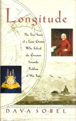
That’s been done by navigators for millennia, but some may remember Dava Sobel’s popular 1995 book Longitude which described the Longitude Act of 1714 to egg on the invention of very accurate clocks or chronometers to help mariners calculate E-W longitude, the missing link and handy for crossing the Atlantic.
Like so much else, I’ve forgotten most of the Sobel book, but the video below explains the principl very clearly around 5:25. With a chronometer set at Solar noon at Greenwich, clocking midday anywhere else and working out the time discrepancy at 15° to the hour, gives a number of degrees of longitude (and so a distance) off the Prime Greenwich Meridian, north or south of the equator.
I looked on YT for a video which might summarise astro-fixing succinctly, but many were aimed at mariners and stretched on for hours. This snappy video, complete with a jaunty soundtrack, gives you the basics on orientating yourself (finding north). That’ll do me for now.
Discover more from Sahara Overland
Subscribe to get the latest posts sent to your email.

Pingback: Sahara West–East with VW Vans, 1983-4 • 1 | Sahara Overland
Pingback: Sahara West–East with VW Vans, 1983-4 • 2 | Sahara Overland
Pingback: Sahara West–East with VW Vans, 1983-4 • 3 | Sahara Overland
Pingback: Sahara West–East with VW Vans, 1984 • Part 4 | Sahara Overland
Pingback: Sahara West–East with VW Vans, 1984 • Part 5 | Sahara Overland
Pingback: Sahara West–East with VW Vans, 1984 • Part 6 | Sahara Overland
Pingback: Sahara West–East with VW Vans, 1984 • Part 7 | Sahara Overland
Pingback: Sahara West–East with VW Vans, 1984 • Part 8/8 | Sahara Overland