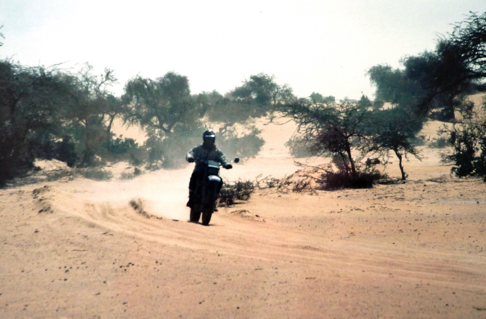
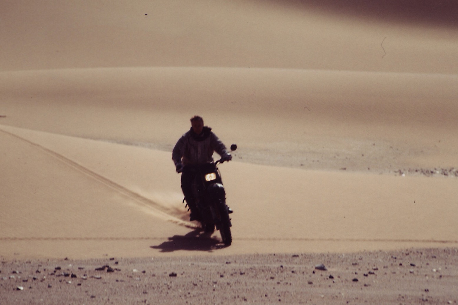
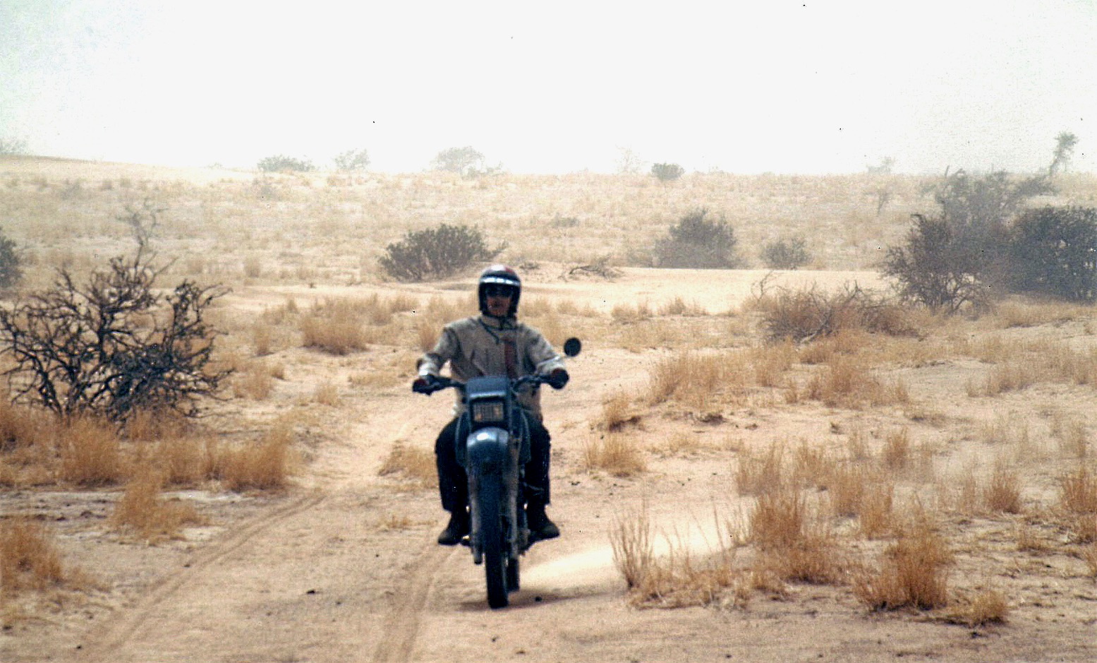
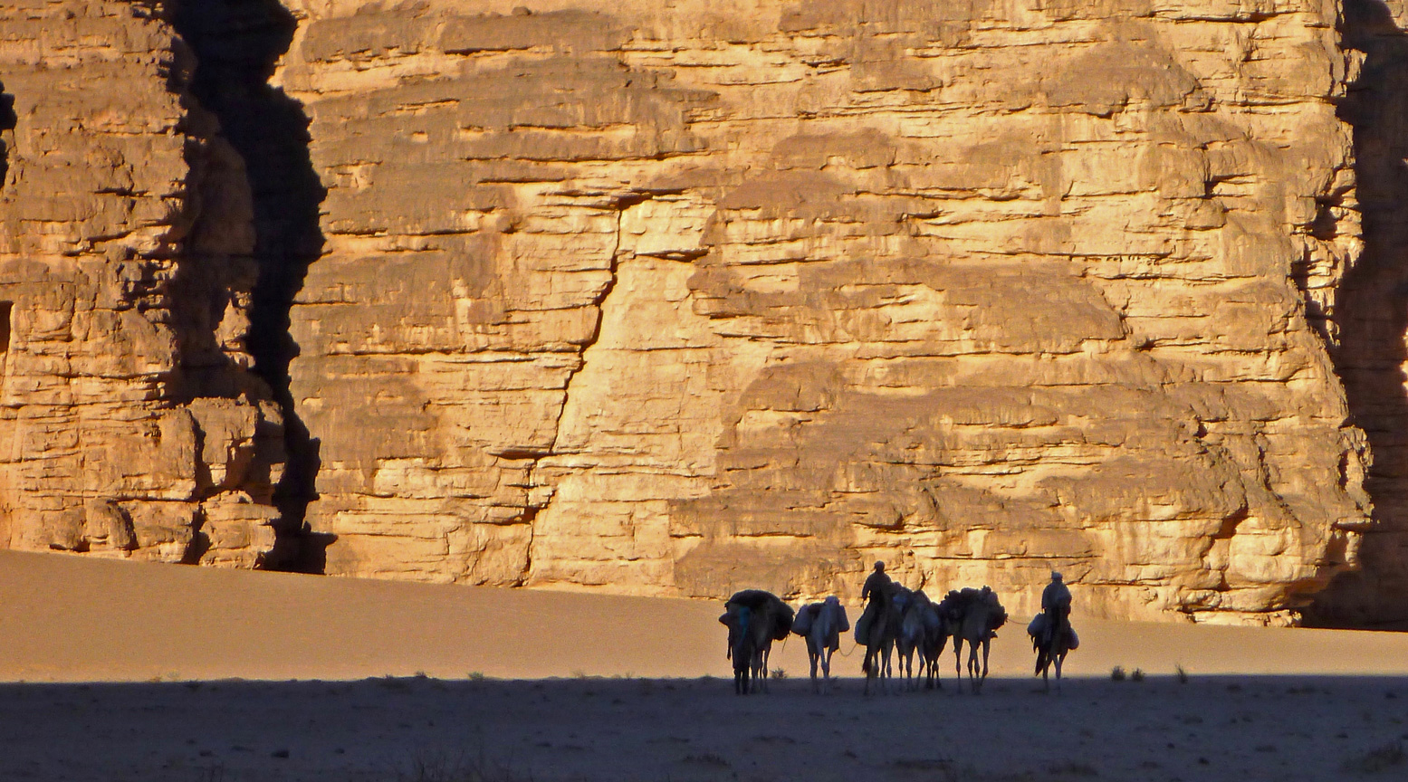
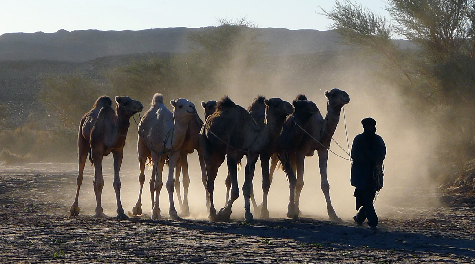
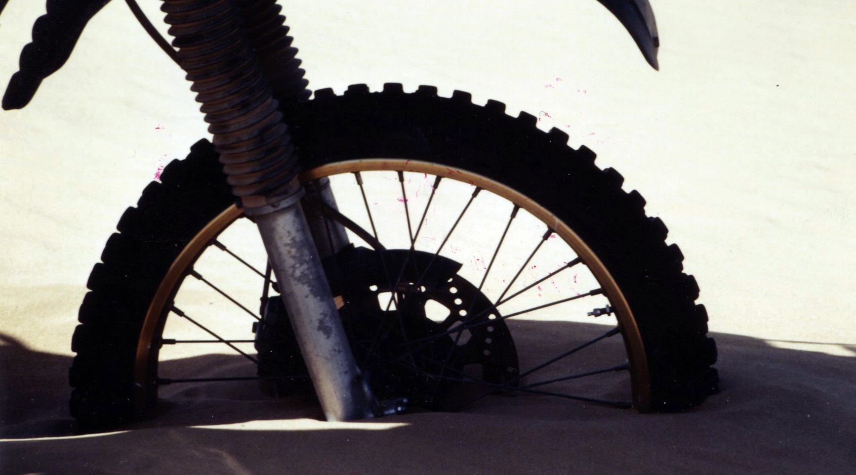
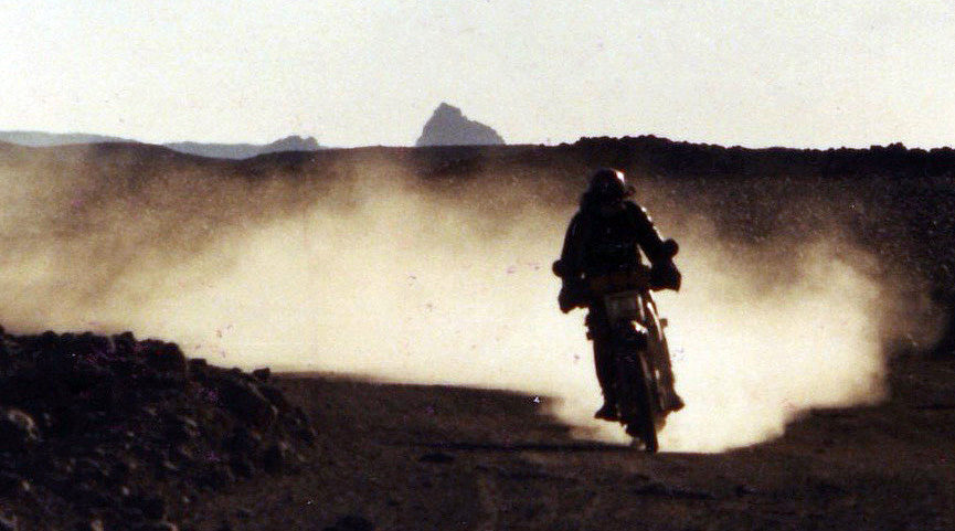
Tag Archives: timbuktu

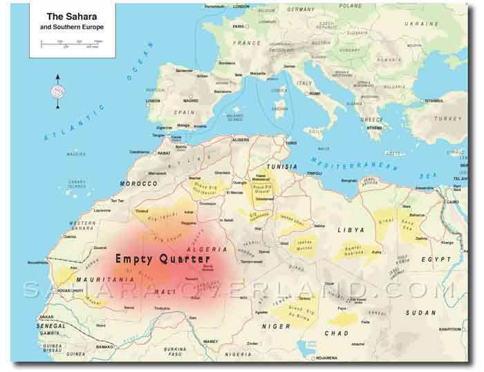
Sahara • The Empty Quarter • Part 2

Originally published in Overland Journal

See also:
VW Taro build (soon)
Intro
Part 1
Many times during my decade of despatching in London I’d longed for the irritatingly reliable engine of some middleweight Honda I’d ridden day-in, day-out for years to explode into a thousand pieces. Nothing less than a terminal meltdown with conrods rupturing the block and cogs spitting out of the muffler.

Now, a long way from the interminable Clerkenwell Road, I was faced with the inevitability of my VW Taro’s imminent demise. The engine knock might last for days, but in reality I knew its sudden escalation meant this car would not see another dawn.
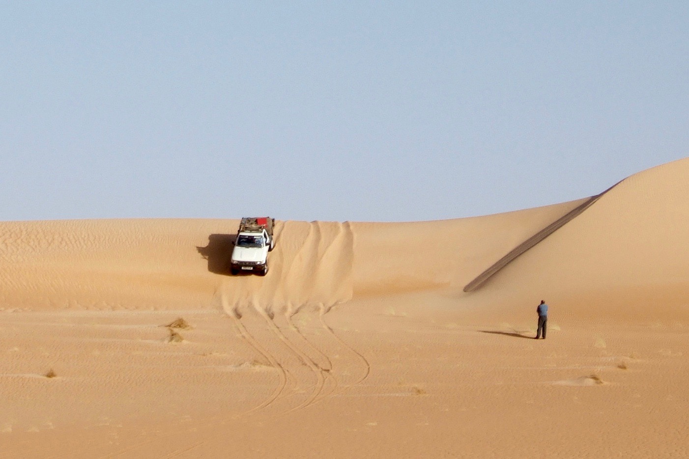
Ouarane sand sea

At least the dreaded dune crossing had turned out to be an anticlimax. It was all over before we realized and ahead of us the ridges subsided into a rolling sand sheet. We could now resume our easterly course towards the Malian border.

Our convoy followed me as I nursed the VW along, keeping the revs low and the load light. For a while I thought it might make it, but make it where? We were just at the start with a thousand vacant kilometres of Empty Quarter to cross. Mile by mile the ear-wincing clatter grew louder until a hideous hammering suddenly filled the cab as I tiptoed out of a shallow sandy bowl. I stamped on the clutch pedal and cut the engine, but of course this engine had just switched itself off, big time. We’d reached the VW’s grave.
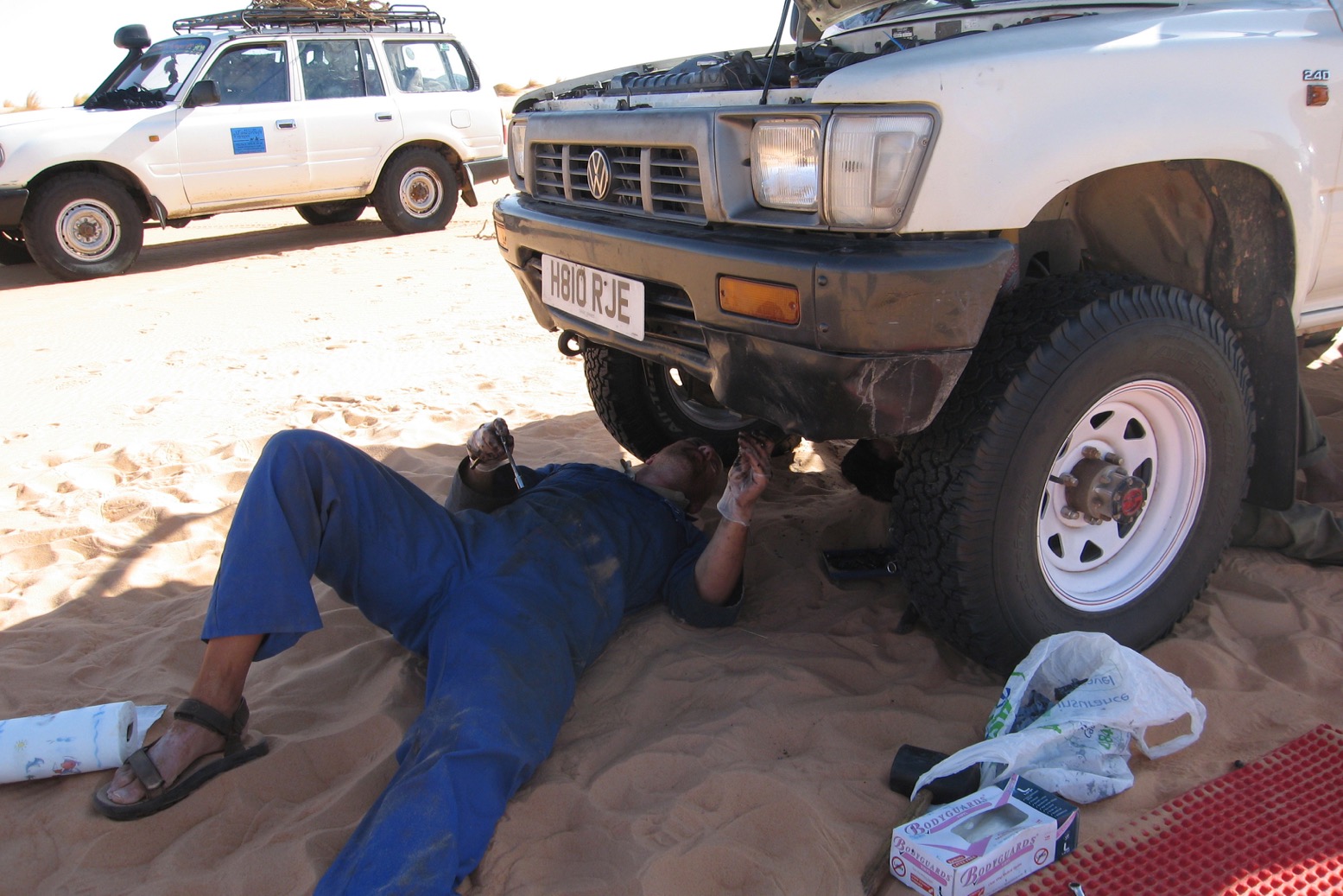
Nothing to see here, unfortunately

If you’d asked me to point out the least desirable place to have a serious breakdown on this trip I would have guessed somewhere beyond the dune crossing but before the full traverse of Mali; somewhere like N20°03′ W08°00′, give or take a hundred clicks. From this point the nearest towns of Nema, Chinguetti or Timbuktu in Mali were as far as they could be: the better part of a week’s round trip.

I rolled back down into the dip where we hitched up the front end and pulled off the sump, expecting to find it full of shrapnel. No such drama although a bit of prodding revealed #4 big end was definitely shot. I had no spares of course; these days if you think you ought to carry new big end shells for a Sahara trip, what you really need is a better car.

We cleaned ourselves up and considered my options. We could wait here for a week, eating into our supplies while someone headed off to track down a big end. With the right part I might be able to limp on before making a proper repair in Algeria. But judging by the sudden, pre-terminal racket the crankshaft could have snapped – a distinct possibility as the engine was locked solid. Establishing this would be a lot of heavy work in the middle of the desert; dumping the car or trying to recover the remains made more sense.

The problem with dumping it was there was literally no space for me in the other cars, let alone my gear, which now had a value greater than the pickup. And with a replacement engine from somewhere, the VW – which was otherwise in great shape – could ride again.

We got on the Bat Phone to the Ambassade on the far side of the Quarter. A truck had just left Timbuktu but with a full load, while an empty up north near Taoudenni was having gearbox problems. They’d have a think and call back in a couple of hours.

Presently the phone rang. There was a MAN in the yard but the 2000-kilometre round trip would cost as many euros. It would take a couple of days to track down enough fuel for the round-trip too; after that they’d meet us in three days. It was marginal but I figured along with the convenience of getting my gear to somewhere useful, there was a chance of getting the pickup re-engined or sold on. Calling in a recovery from Timbuktu was not an option; we’d blow our cover in Mali with who knows what consequences, most likely with the waste of a lot of time and money while losing our chance to finish the crossing of the Empty Quarter.
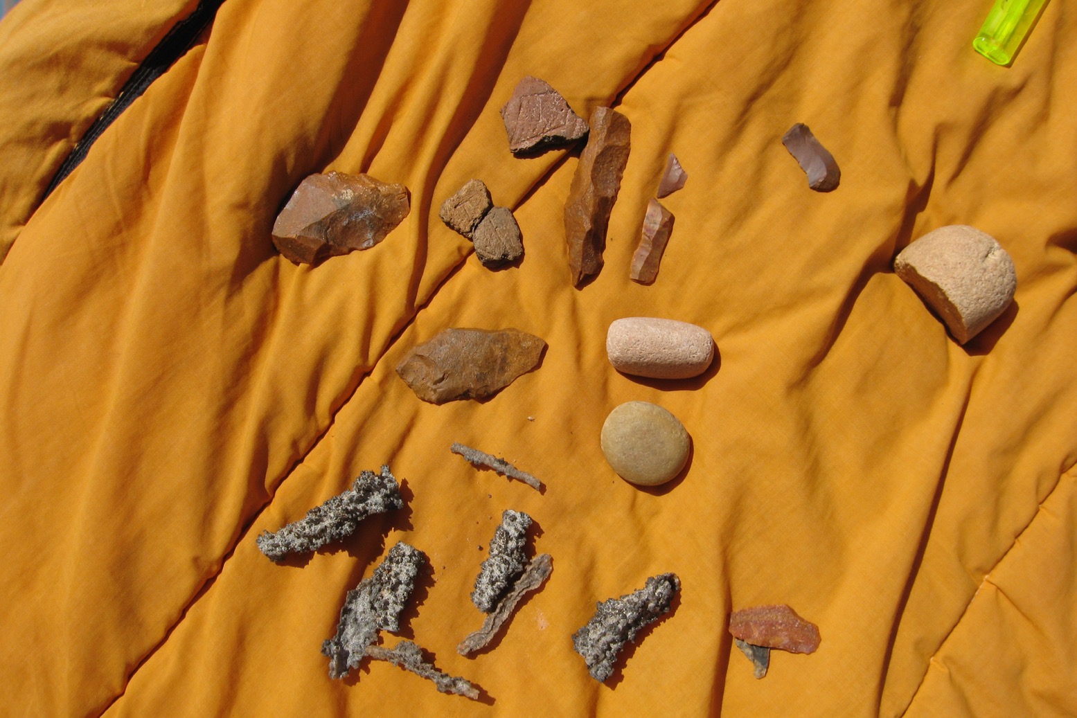
Neolithics and fulgarite everywhere

With the recovery underway we put on a brew. A little later Ron came back from a wander, having found various Neolithic trinkets: flint knifes and hand axes from several thousand years ago when hunter-gatherers roamed what would have then been a grassy savanna teeming with game.
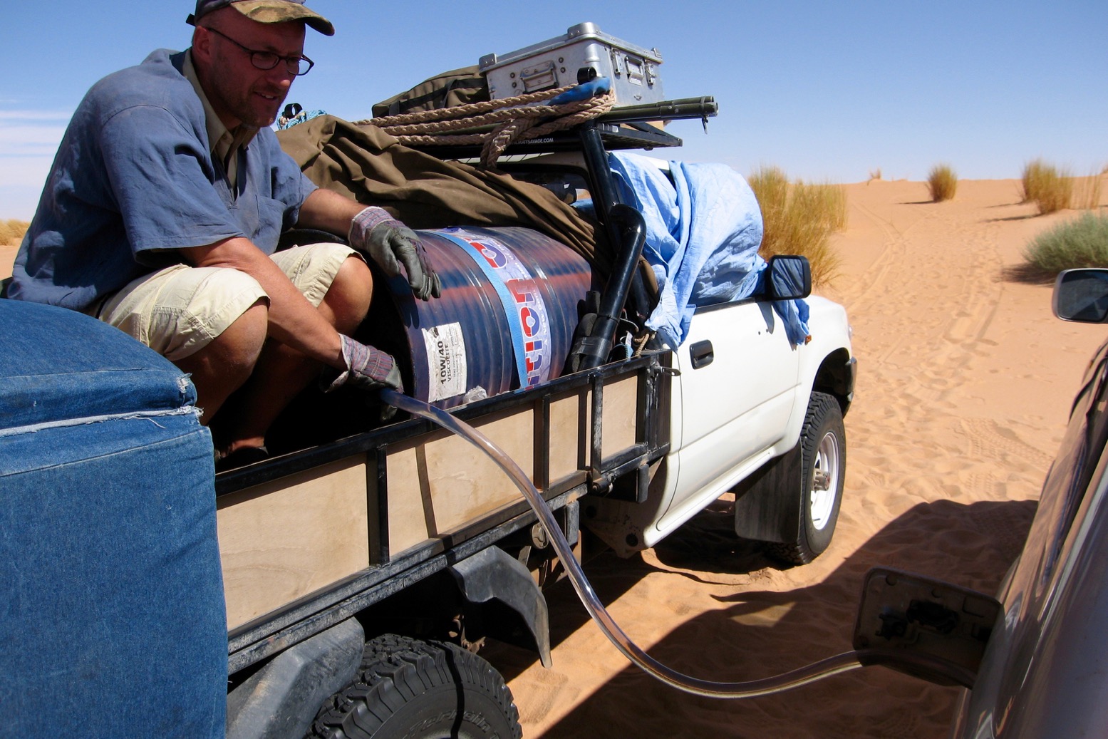
Free fuel; form an orderly queue

Did the disaster bother me? Not really. Vehicles are best treated as expendable in the Sahara, on this trip more than most. My desert travels had gone rather well these past few years so I was due a calamity; it just wasn’t the one I was expecting out here. The crux was not being alone and having back-up plan from a place like the Ambassade. It was a shame to waste all the work and money put into building up the Taro, but it had got this far and, for a gutless old ute, the gazelle had proved itself up to the point when it croaked.

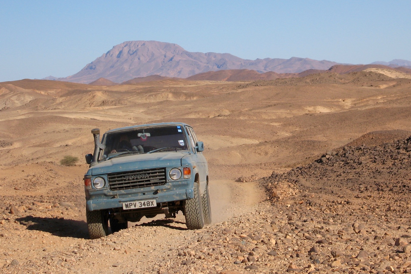
By next morning we were already getting restless, and with the thought of a week’s waiting for the lorry to trundle over the eastern horizon, the tricky topic of towing re-emerged. It was clear that only the VX was capable of it: Sue didn’t mind but Roger was less keen. I saw his point; towing even the lightened ‘gazelle’ across unknown terrain for a thousand kilometres was a shortcut to prematurely ageing the transmission; I knew desert travellers who’d found this out the hard way. In the end though, the call to action prevailed and a fee of a euro per kilometre was agreed. I dished out the masses of fuel I had left and divided my kit for burning or portage. With the pickup as light as it could get, we roped a kinetic line to the VX and set off.
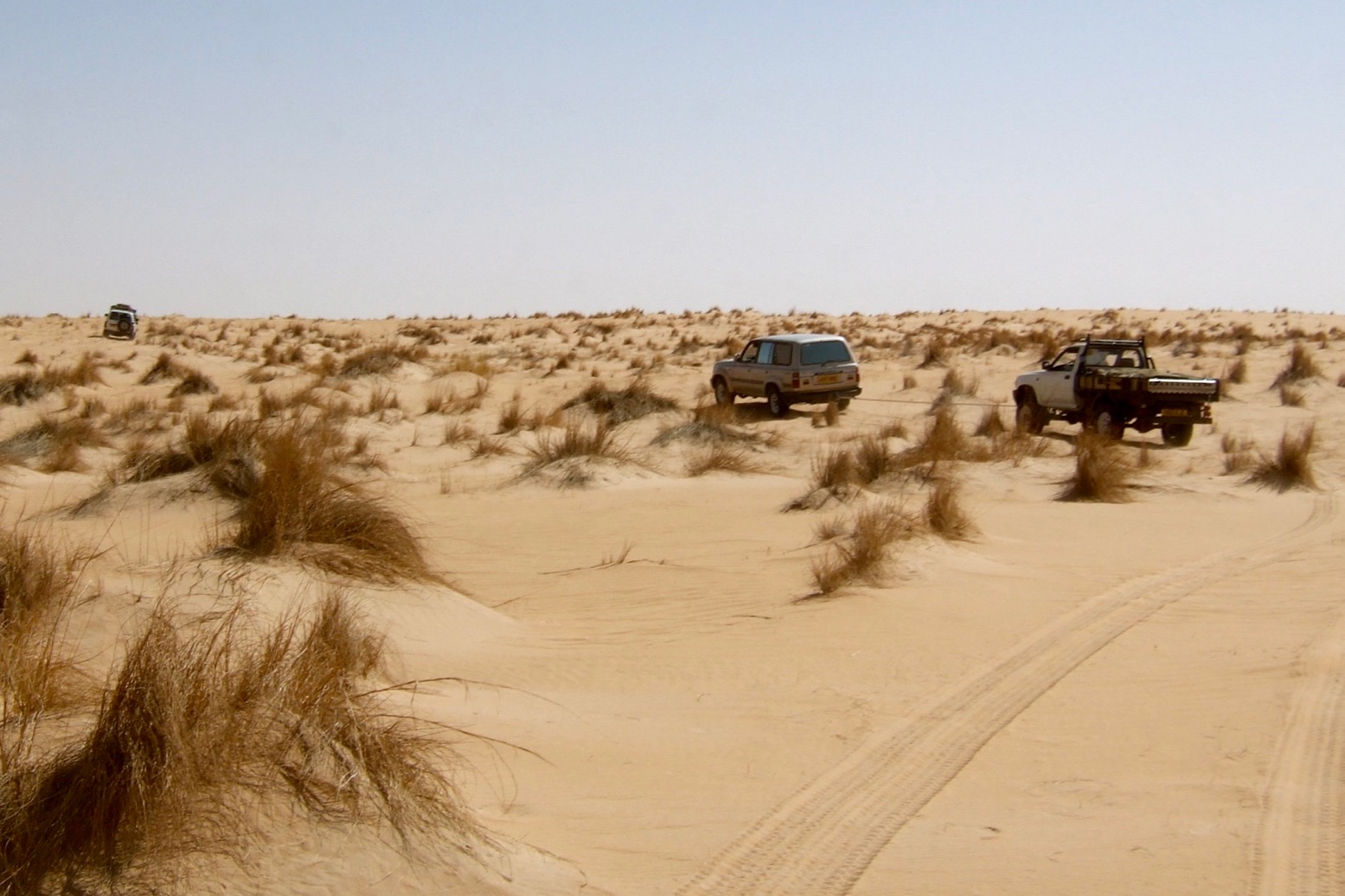
Tussocks! One thing you don’t get in Algeria

They say never tow with a KERR, it will ruin the rope, but I can tell you the elasticity is most welcome when a torquey VX is yanking you from one tussock to another hard enough to give you whiplash. Unless you’re a lost camel with an appetite, these tussock fields, stretching for miles at a time, are the bane of this part of the Sahara. In between them I relaxed on the rolling sand sheet and even had a chance to shoot some video reports. As we alternately cruised and bounced along I was surprised to see fennecs (desert foxes) dashing out from their holes.
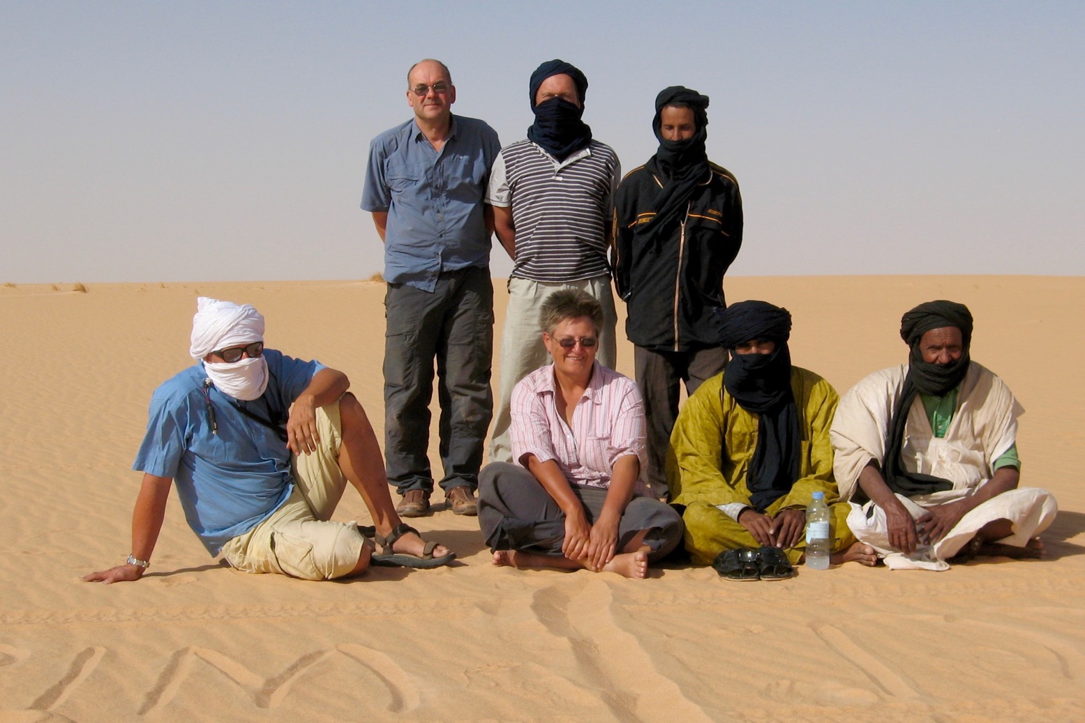
The Empty Gang at 20, -6
From the back left Roger, Ron, Mohamed mechanic, me, Sue, Mohamed H, Mauritanian guide
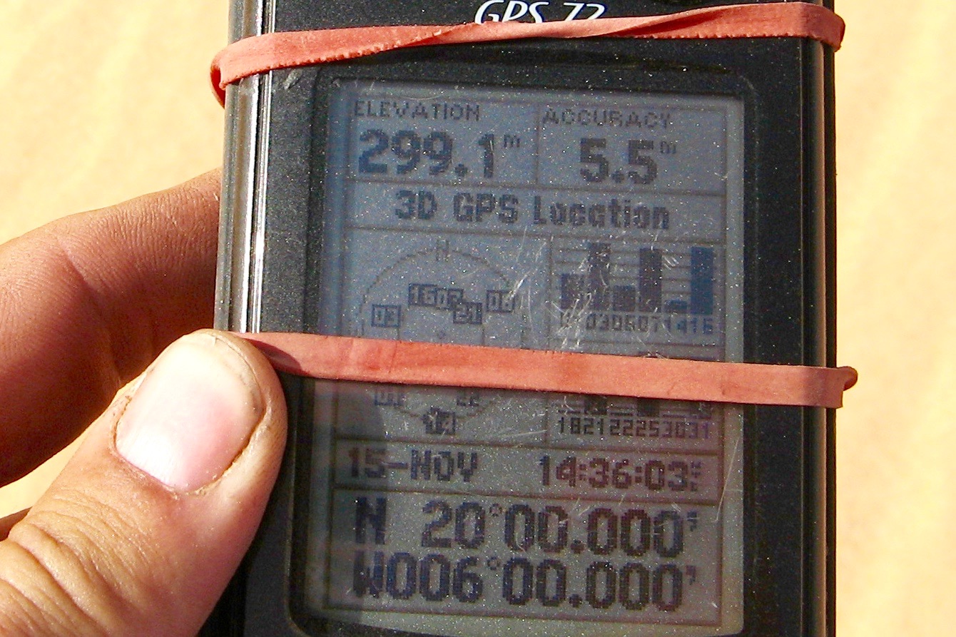
Online confluencer

Inevitably we hit a soft patch and spent half an hour getting the running cars out before we could even turn our attention to the dead pickup with much digging and all the tow ropes joined together.
But progress was good and by lunchtime next day we pulled up at 20°N 6°W to record the point for confluence.org, a website that’s collecting images and descriptions from every terrestrial longitude and latitude confluence on earth. Our shots to the four points of the compass were all interchangeable: blue sky over flat sand sheet whichever way you looked.
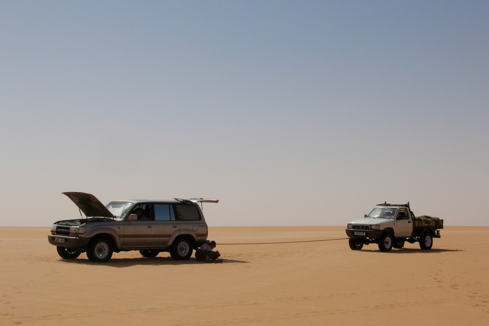
Eric takes a breather

This point also marked, near enough, the border with Mali and our entry into the badlands of the ungovernable far north. Sure enough we soon crossed the fresh tracks of a single vehicle heading north far off any recognised route. Whoever they were, like us, they didn’t want to be seen. That night we camped out on the wide open sand sheet with no lights.
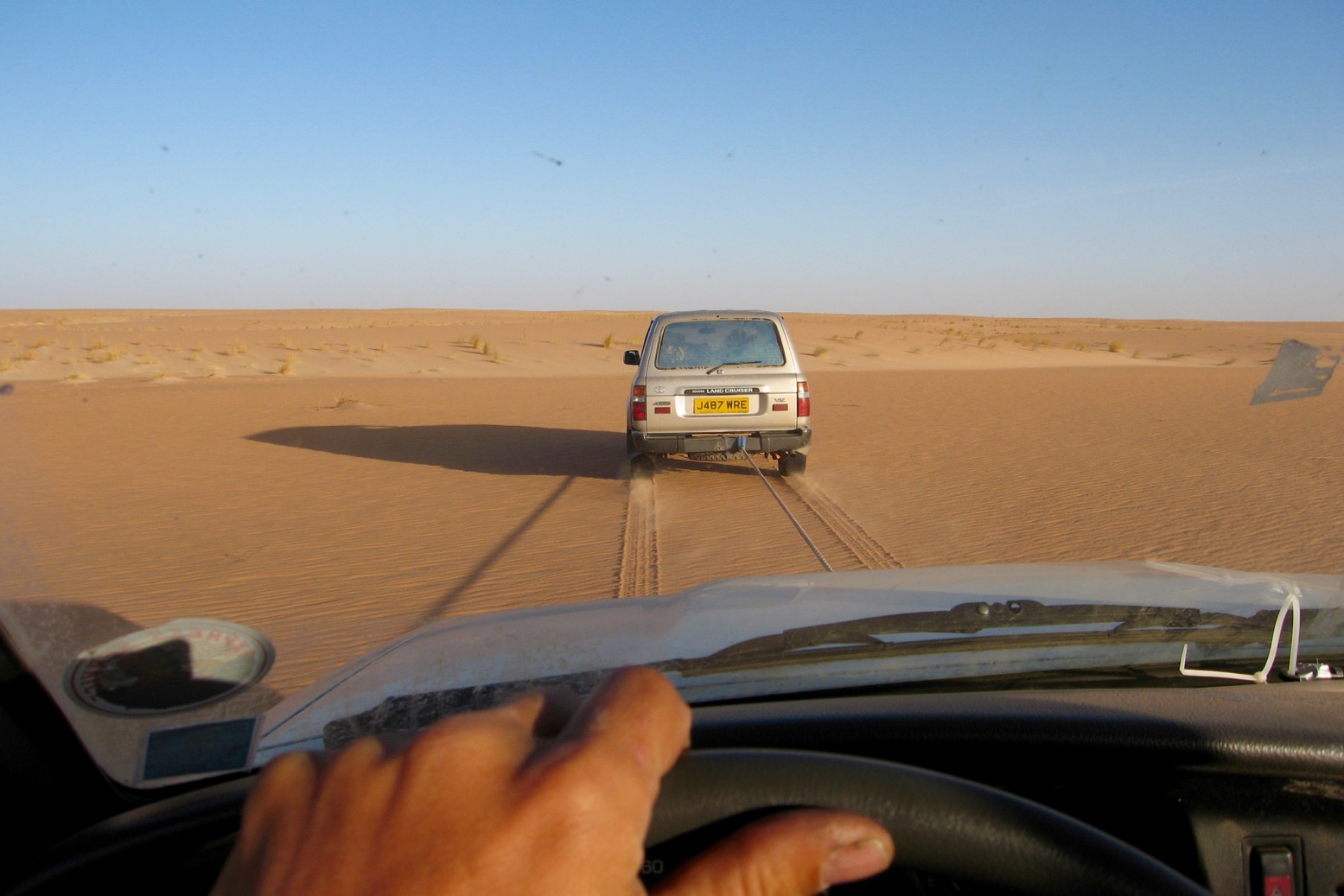
On the end of a rope for two days

The next couple of days would be tense. At one point around 3° 40’W we would have to cross the widely braided Timbuktu-Taoudenni salt route. Although its meagre traffic would probably be legitimate, it would be a whole lot better not to have our incongruously eastbound convoy seen by anyone. If we did get hijacked the raiders would have quite a jackpot; and as we were soon to find out, they were closer than we thought.
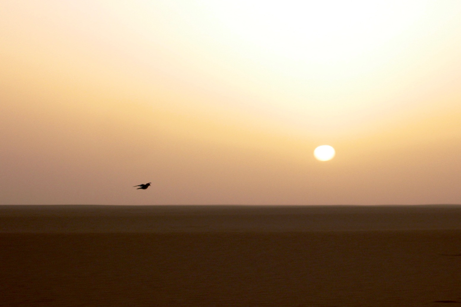
Lonesome dove

As the sun rose next morning a lone dove flew into our camp and staggered around. A bad omen? I’d encountered such bird behaviour before in the desert and presumed they were stragglers, weakened during the southward migration and close to death. But once we got going again all thoughts of the lost dove were shaken out of me as we hit another interminable band of tussocks. The problem was when the VX steered around a lump, the pickup got towed on a direct line. Result? Head-shaped dents in the roof of my cab.

By mid-morning Mohamed received a text that the lorry was already in the area. Amazed by its swift progress but preferring not to use voice calls in case it set off any alarms down south, we texted back our position and waited.
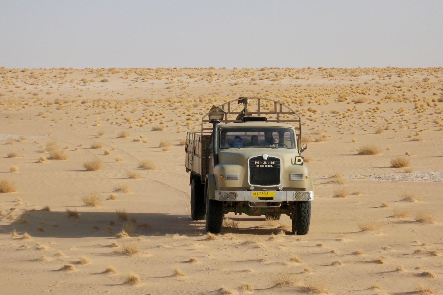
Here comes the cavalry, a 6-cylinder, 11.4 litre M.A.N 19-tonner.
More grunt than the Bay of Pigs on New Year’s Eve

For hours we listened intently over the wind for the growl of the big engine. What was taking them so long? After a few false alarms we finally spotted the sand-coloured M.A.N trundling past a couple of miles away. Ron hopped into his 60 and dashed out after them.

Their own transit of northern Mali had not been uneventful. The previous evening they’d been held up by gunmen in a lone Cruiser and relieved of a drum of fuel and the power lead for their Garmin. Once the batteries had expired they’d had to locate us with the basic GPS in their sat phone which had no handy ‘go to’ feature. The two drivers, truck owner Hassan and his mechanic didn’t seem too perturbed by the robbery. Luckily they were empty and had wisely not disclosed the nature of the mission. They still had the truck, an M.A.N 19/240 troop carrier specially built for Algerian desert forces in the 1980s, and now the long-range desert smugglers’ choice over the more complicated and expensive Mercedes.
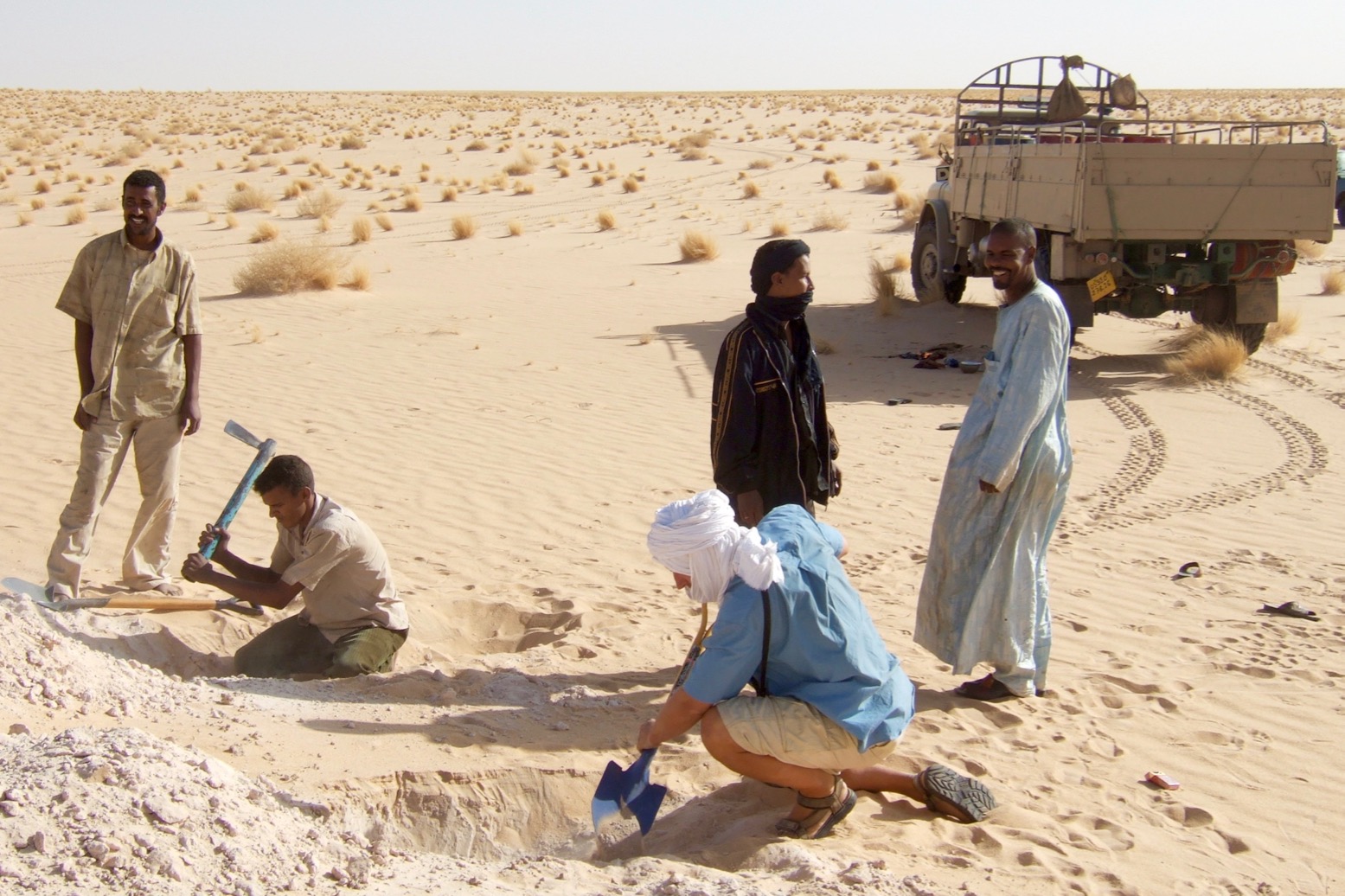
Digging wheel ruts to make an anti-ramp

We set about finding a way to load the VW. A mile or so away we found a hardened platform of calcrete – the weathered remains of what geologists call duricrust which here had one edge exposed by the wind a couple of feet proud of the desert floor. By digging two wheel channels into the crumbly edge, the lorry could back up almost level with the car positioned up on the pan.
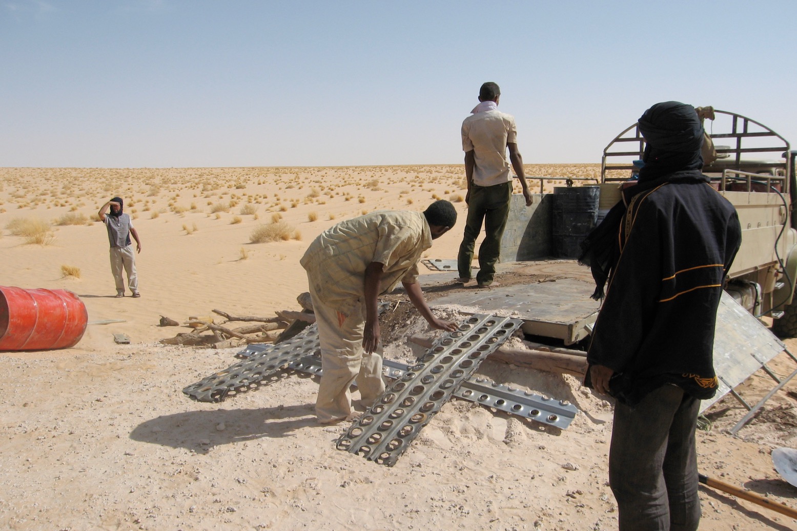
Nearly there

A couple of hours later we’d all taken our spell with the picks and the levels were closing up. Some firewood and sand plates made a ramp and with a run-up the pickup rolled into the back.
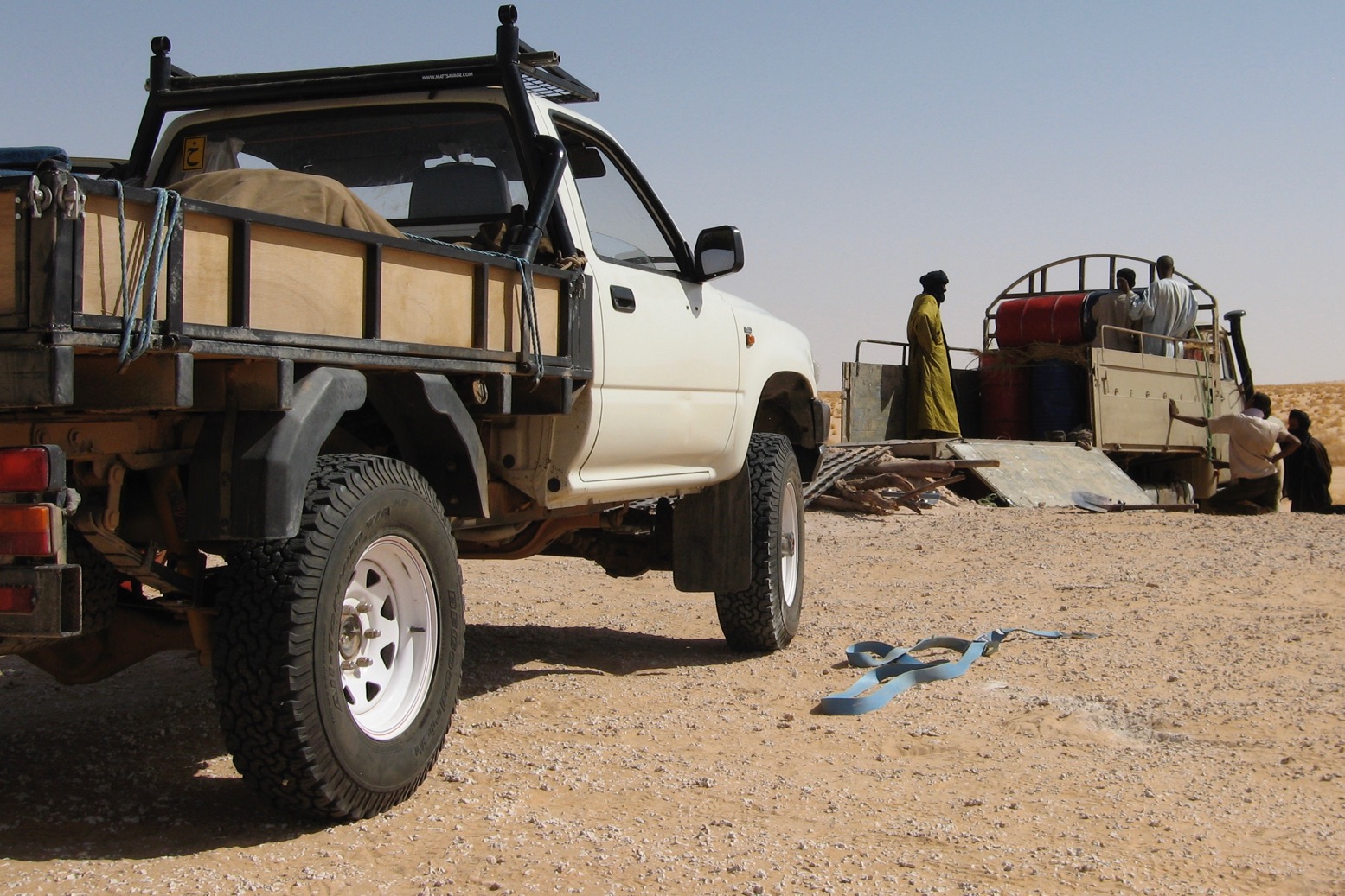
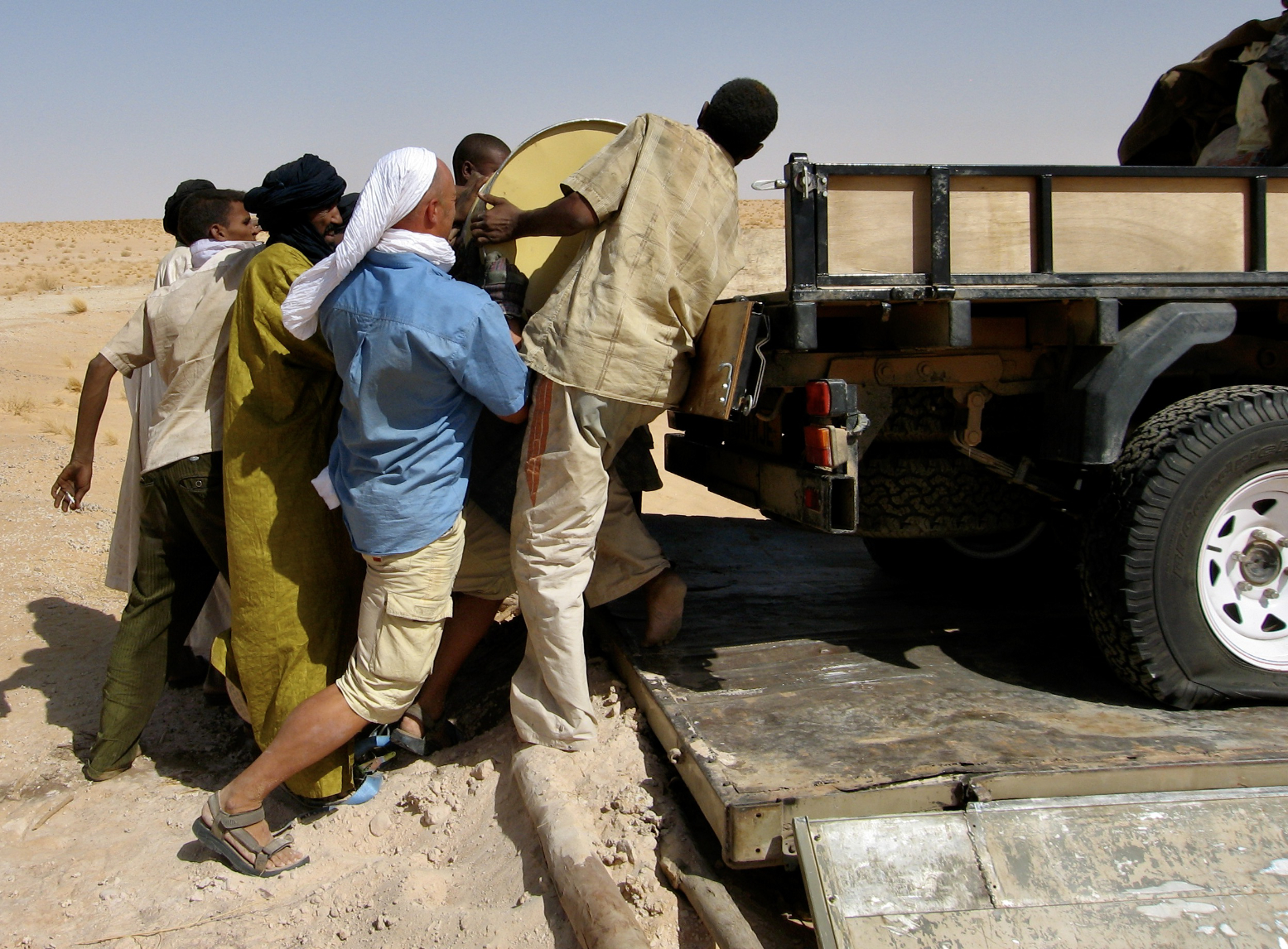
When it came to lashing down you’d think these guys knew their business. It didn’t look like it. My tyres were deflated (to reduce rolling I presume), heavy fuel drums were then piled on the Taro which was then secured over the lorry’s flexing side gates which was to do a lot of unnecessary damage to both machines over the next few days. No one listened.
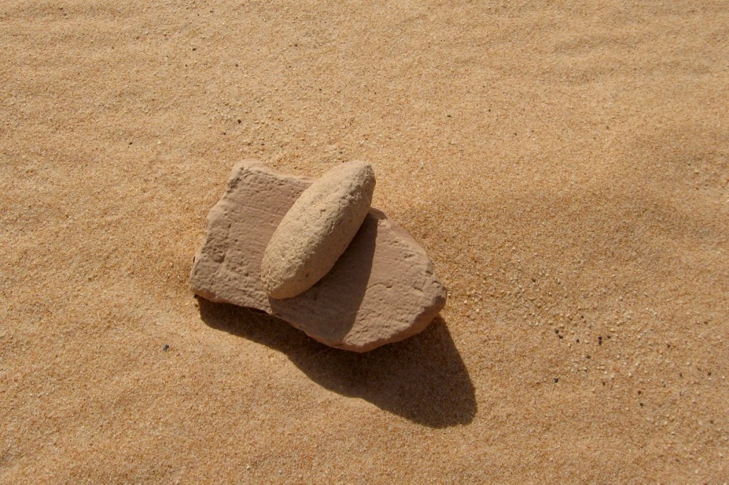
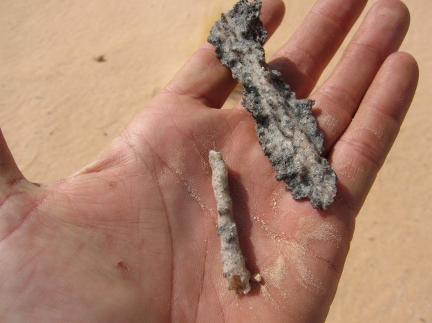
At just about every stop within the Empty Quarter, we easily found prehistoric artefacts and geological oddities lying near the camp. Among them were pieces of fulgarite – sand fused into delicate coral-like tubes or flakes of glass by lightening strikes. It’s something that never ceases to amaze me – solidified lightening. In Egypt we once found a rod of fulgarite as thick as my arm twisting deep into the sand in a shallow helix form created as the charge earthed itself.
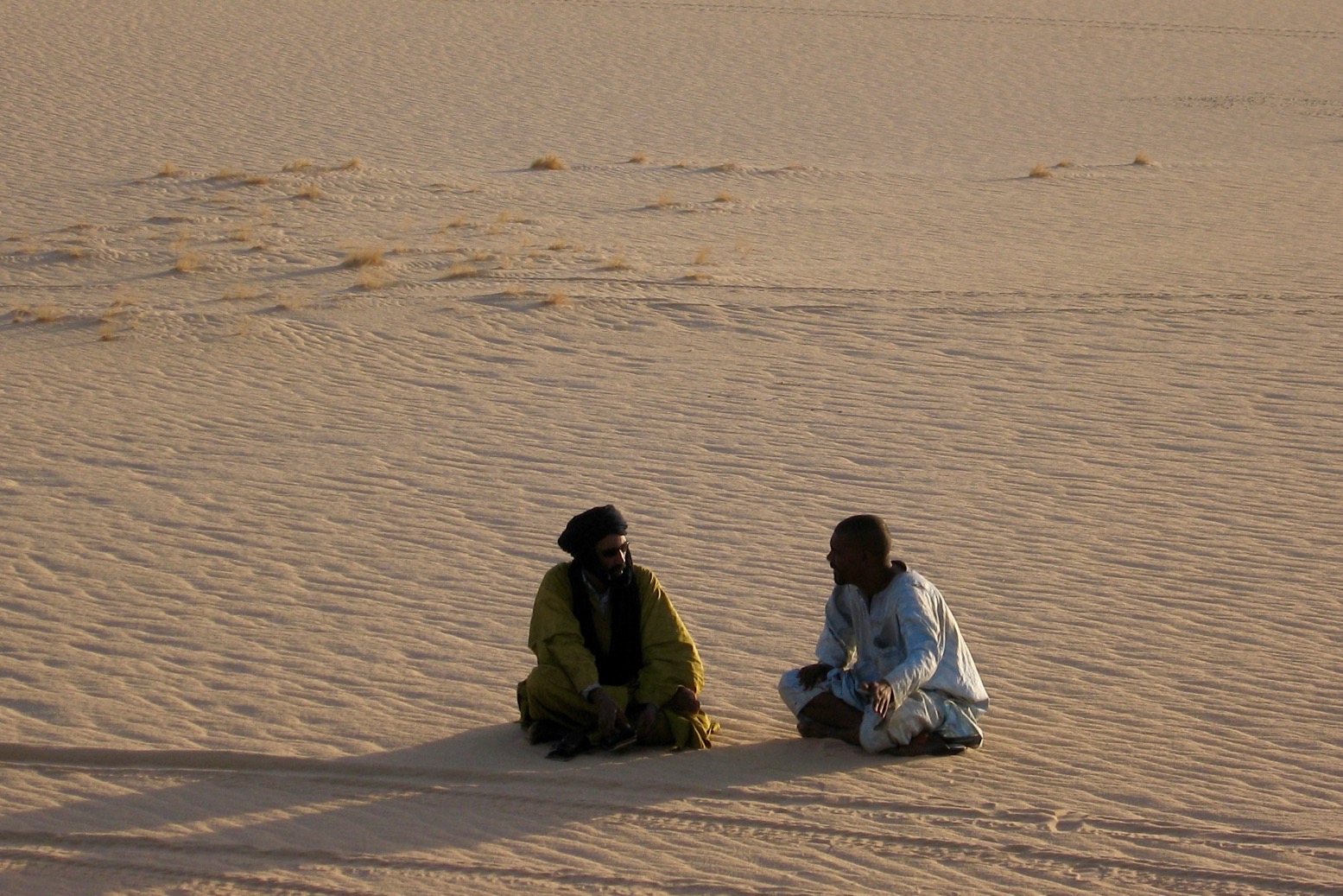
Mohamed and Hassan negotiate

By towing from Mauritania we’d saved the truck a good 800 kilometres and a few days so Mohamed was working on Hassan to try and reduce the price. It wasn’t looking too promising. Like Mohamed, Hassan was a Berabish, the little-known Arab tribe from around Timbuktu, descended from the tail end of the Islamic conquest which had whipped across northern Africa in the 8th century. Essentially Moors, and notoriously sharp in their business dealings, the Berabish run much of the bush commerce in that region. Unlike the better-known Tuareg (whose ethnicity Mohamed feigned as it was good for business in Algeria), they have no time for either playing up to tourists or making rebellions, unless there’s good money in it. Getting a financial break from Hassan would cost the proverbial pound of flesh.
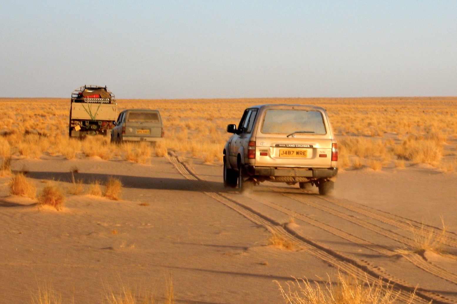
Desert grasslands in northern Mali

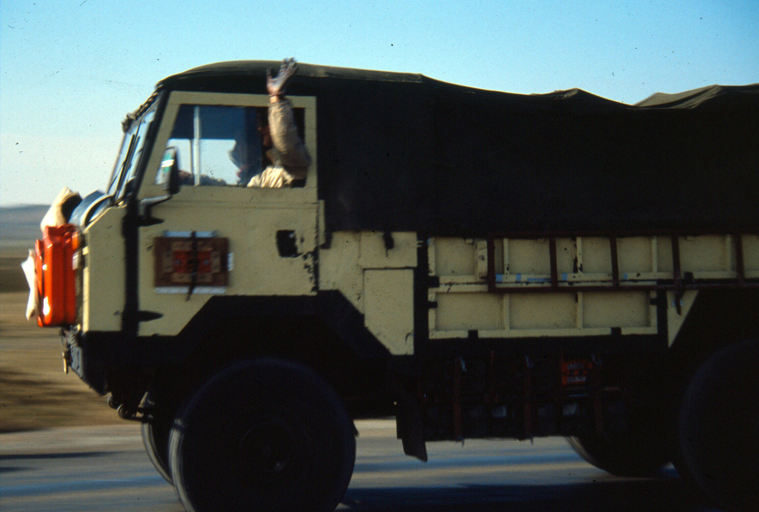
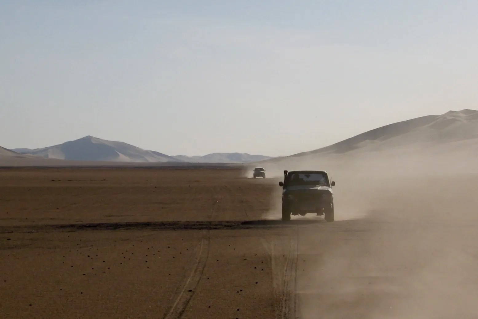
One of the truck drivers was particularly aggressive at the wheel so I took to sitting in my car to try and limit the damage. Leaking diesel drums had the pickup sliding around on its flattened tyres, the sidewalls getting further pounded by the rims’ edges as the VW bashed against MAN’s sides.

I persuaded them to part re-inflate the tyres but all my gear was getting either crushed by the drums or soaked in diesel. As the side gates bent inward, the ropes slackened and the car beat itself up. I’d have to crawl out of the window, edge over to the MAN’s cab like Indiana Jones and thump on it until they stopped. They’d hop out and hang off the ropes to get them good and tight against the creaking side gates. It was painful to watch, but on the move the grunt of the 240-hp truck was something to behold. Rated at 19 tons but carrying next to nothing and running singles on the dual rear axle, it ground its way over small dunes like a digger.
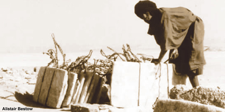
Taoudenni salt mine

Presently we started bisecting the Taoudenni salt route’s countless north–south tracks, the only piste we’d see in the Empty Quarter. An hour later as they began to peter out I spotted a distant M.A.N on the southern horizon, probably heading back to Timbuktu with a cargo of hand-hewn salt slabs from the pits at Taoudenni.
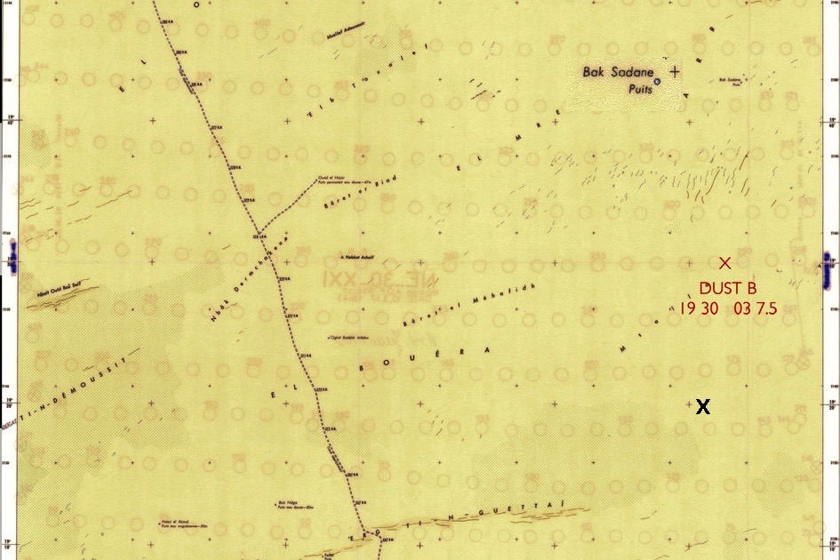
Dust point east of the Taoudenni piste

Despite my troubles we had not forsaken our commitment to the advancement of climate research. Learning of our plans to cross this remote region, a scientist friend back at Oxford University had asked if I could collect dust samples from a couple of ‘hot spots’, the darker red patches above.

The Sahara is the world’s biggest source of dust which, when launched up into the atmosphere by seasonal windstorms, is thought to have a significant effect on global climate, including Atlantic hurricanes. After western Chad, much of this dust comes from the Empty Quarter but samples had never been obtained before. As we passed through one of the hotspots, composed of the same calcrete we’d dug into a loading ramp, Sue interpreted my gesticulating from the cab and stopped to collect some samples.
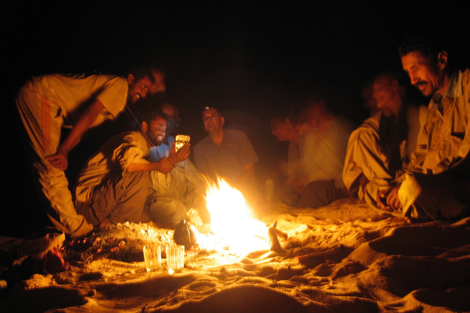
Watching vids with the crew while break baked

Next afternoon we passed the place where the truck had been ambushed on its way out, and later spotted our first tree since Ouadane in Mauritania. Soon rocky hills rose out of the unending sand sheet, heralding the outliers of the Jebel Timertine, where European hostages had been held for months at a time and where France had it out with AQIM in 2013, after one hostage escaped.
One of the truck crew was a particularly creepy guy, a skinny Tunisian brimming with resentment. He tried to chat me up, but could not help pointed comments about us rich Europeans. I would not be at all surprised if he ended up with AQIM in the coming years and I was glad to see the back of him, and all of them, to be honest.
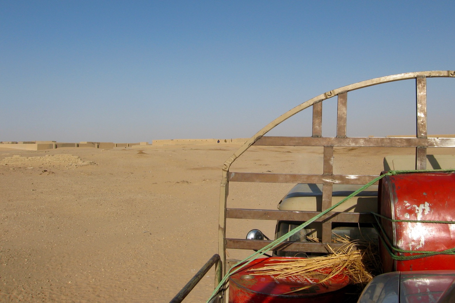
Approaching El Khalil

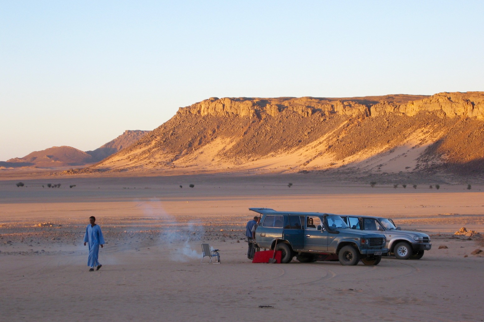
We joined a piste and as the sun dropped behind us we rolled into the compound known as l’Ambassade in the No Man’s Land trading post of El Khalil. Bou who managed the place gave me a warm welcome, especially when I handed over a solar panel and some Garmin 72s I’d promised him.
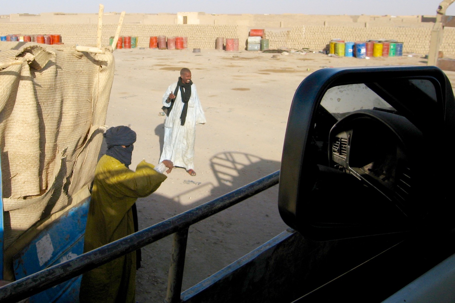
Salaam aleikum, bro!

New big end shells had been ordered in from Algeria and gritty negotiations with Hassan got underway. The Taro was now in a sorry state but Hassan was unapologetic – it’s the Berabich way. Nevertheless both he and Mohamed were interested in buying it. In no mood to do Hassan any favours, I let Mohamed have it for the combined cost of the recovery, Rog and Sue’s towing fee and a haircut in Tamanrasset. A total loss in other words, but better than expected considering my helpless position.
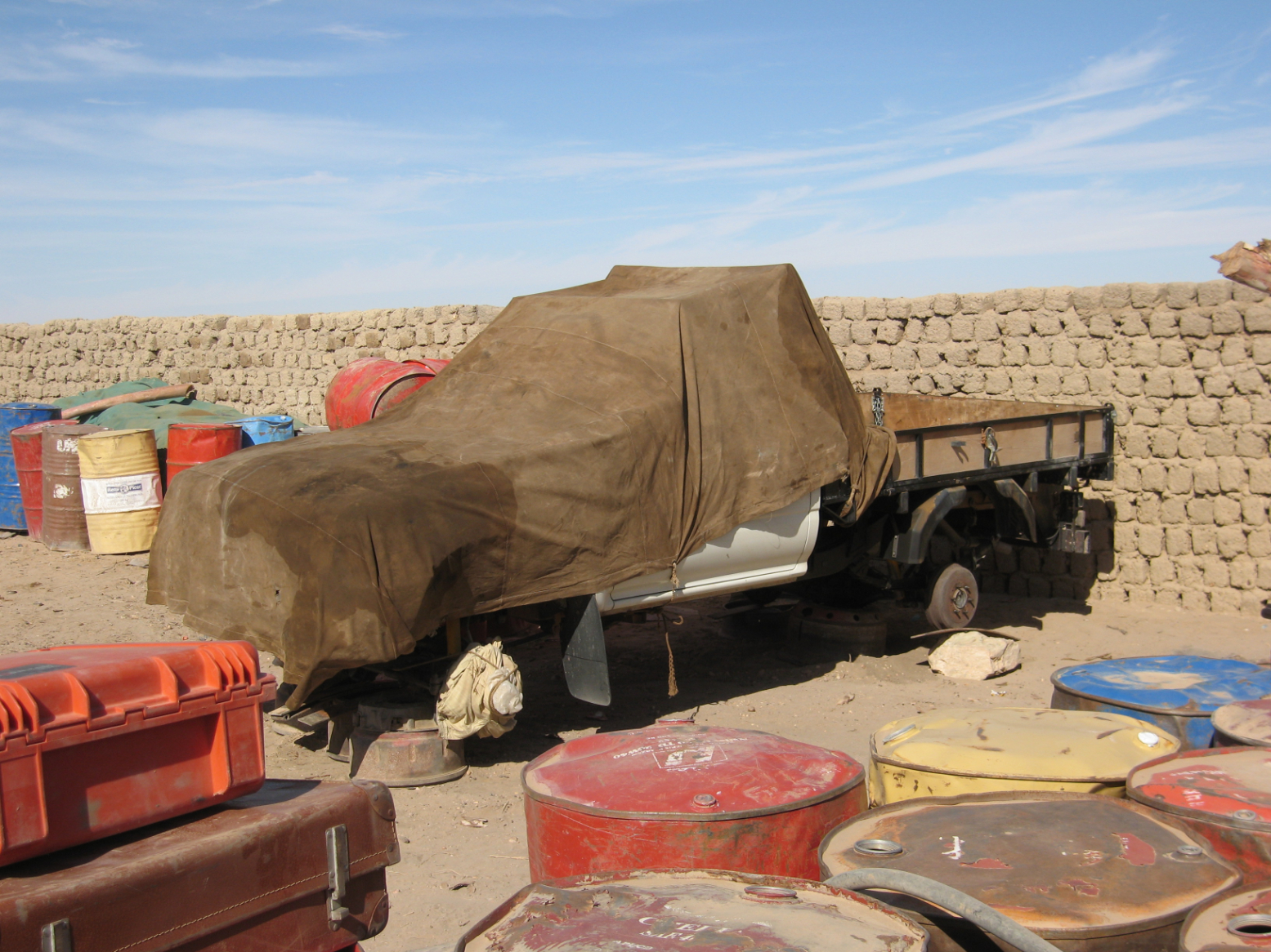
A sad ending for la gazelle, in many ways a perfect lightweight desert car

The VW was shoved into a corner, had its tasty wheels striped off and locked in the storehouse, and was covered in an oily sheet. It’s probably still there today, but full of bullet holes, as El Khalil ended up on the front line of Operation Barkane and got bombed by the French.

As ever, the chirpy Bou was full of business ideas. Could I ship a container full of Land Cruiser or old Land Rover parts out to Togo, or maybe we could slip a brace of Renault prime movers up into Algeria. How much are they in France anyway? And what about three double-cab Hiluxes? I said I’d find out and get back to him.

We’d crossed the Majabat, some more successfully than others. The Mauritanian guide who’d been out of his depth got paid off, and I took his place in Mohamed’s 80 as we headed for the Algerian frontier at Bordj Moktar.
After their epic crossing, in 1975 the JSE had been turned back near here or maybe Tessalit and were sent down into the Sahel to continue their eastward traverse to the Red Sea. We weren’t going that far but hoped to range a little further across the width of the Sahara.
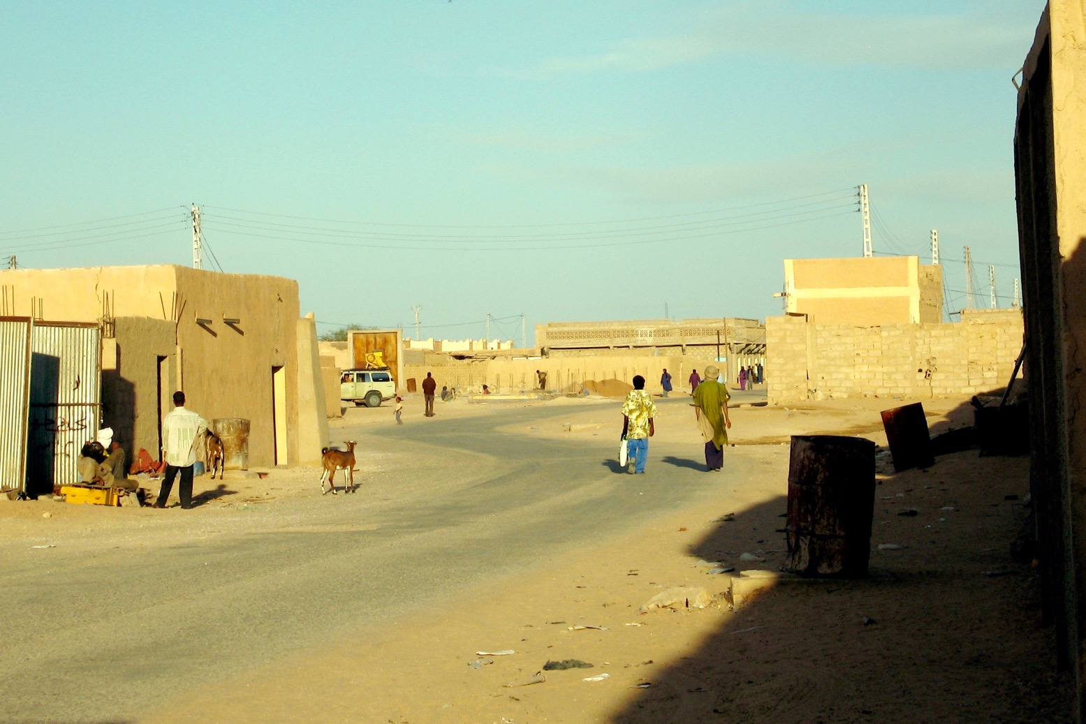
Bordj Badji Moktar

But our entry into Algeria was no forgone conclusion. How were we to explain our unused Malian visas? I’d already considered this and figured the worst they might do is send us down to Tessalit, the nearest Malian entry post 120km away and, with Tuareg bandits on the prowl, a risky proposition according to the Ambassade’s travel advice unit.
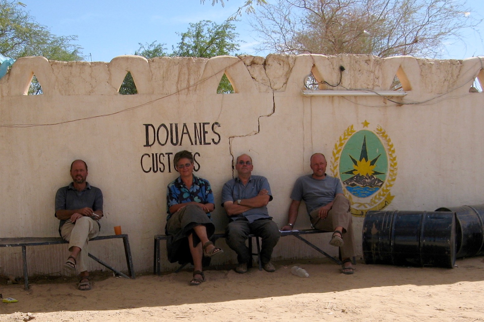
Wairtng it out at BBM

It was time to face the music so we rocked up at the police post at Bordj, handed over our passports and let Mohamed schmooze the cops. He knew well it was the best way to get the better of the countless ‘Men in Hats’ you have to deal with in Algeria, but it didn’t look good. Under orders from the Free World to seal its massive, porous southern borders as best they could, what were they to make of a bunch of tourists blithely roaming across Moktar ben Moktar’s territory? The brigade commander was already on the phone to Tamanrasset, 600km away, when by chance Mohamed recognised an officer from In Salah, his home town. The guy was swiftly persuaded to vouch for Mohamed’s peerless credentials as a renowned desert guide and with, as far as Algeria was concerned, all the correct paperwork and permits in place, we were grudgingly let off the hook.

It had been a lucky break and an example of why it had been worth hiring Mohamed. In sub-Saharan countries like Mali and Niger a tourist might pay their way out of situations like this, but in Algeria I knew well (and have found out again since) that bribing small-time border officials is not done. It’s actually one of the things I like about Algeria.

‘Al hamdullilai!’ (‘Allah be praised’) exclaimed Mohamed, delighted to be back home after his fraught round trip to Mauritania. We had crossed Le Quartier Vide, evaded the attentions of soon-to-be AQIM’s top commander, Moktar ben Moktar and his henchmen (well, almost) and were safely back in the land of milk, honey and cheap diesel.

But I do remember seeing a bunch of shifty looking ‘bearded Pakistanis’ at BBM, of the kind you rarely saw in the Sahara back then. They may well have been devout Muslims coming back from studying at a madrasa somewhere in Mali. Or they may have been associated with AQIM or any of the other jihadist groups roaming the outlands of northern Mali.

After a celebratory feast at a friend’s house in BBM (for which we’d all start paying very soon), we headed northwest for Tamanrasset and the Hoggar, retracing the route I’d taken with the burgundy VX a few weeks earlier.
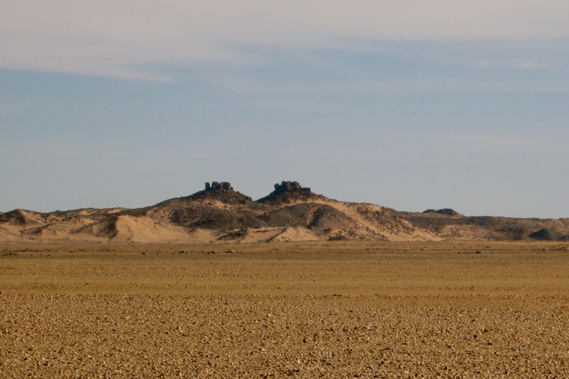
Tim Missao well
101

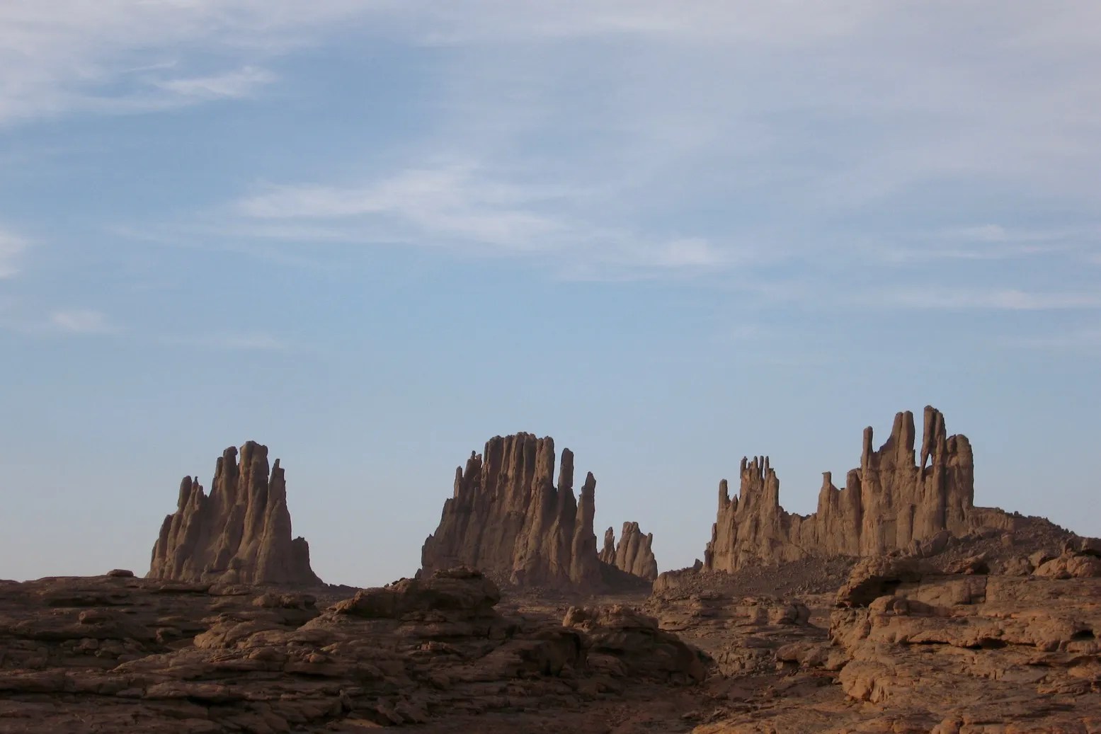
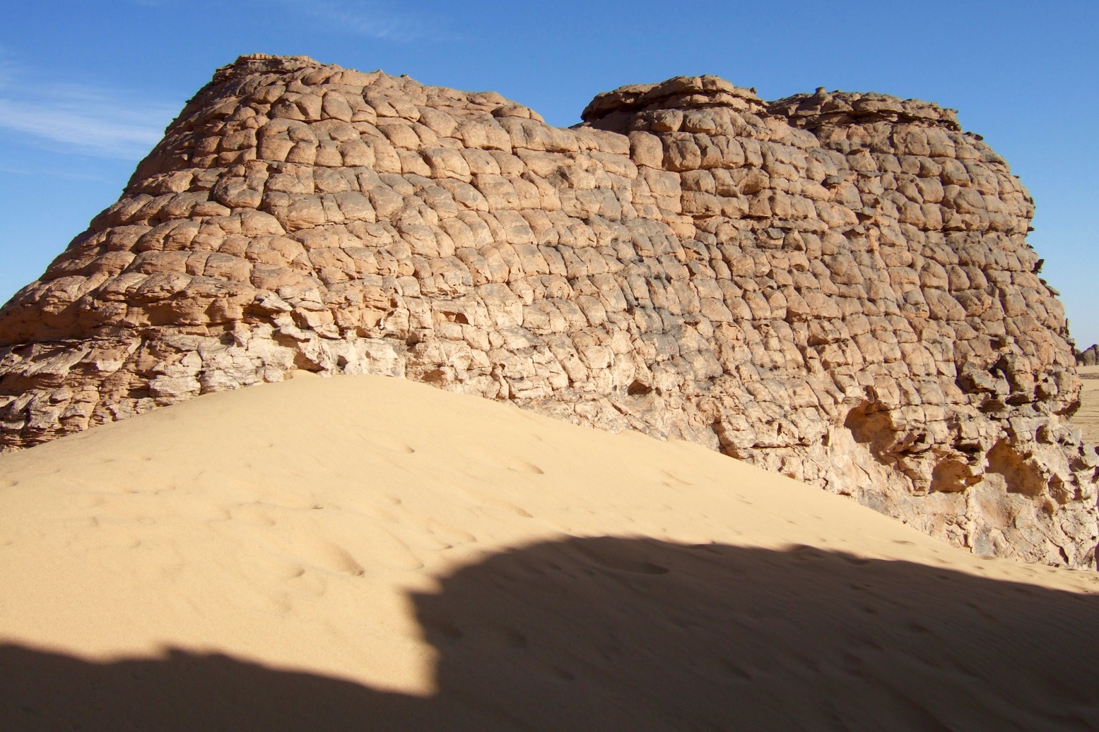
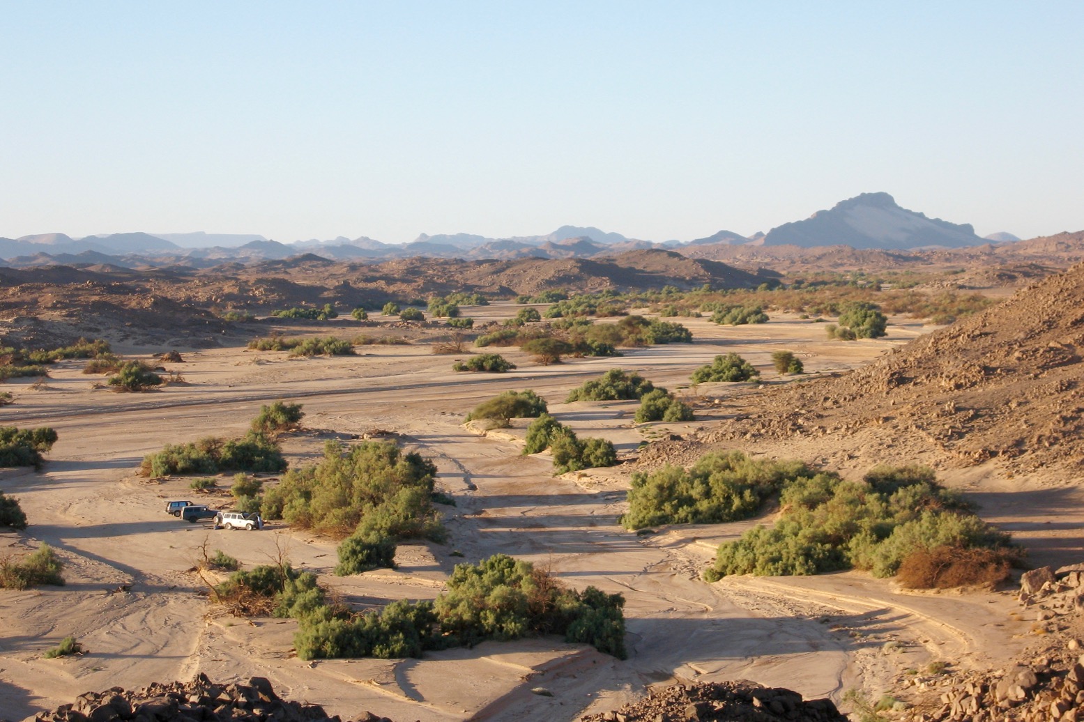
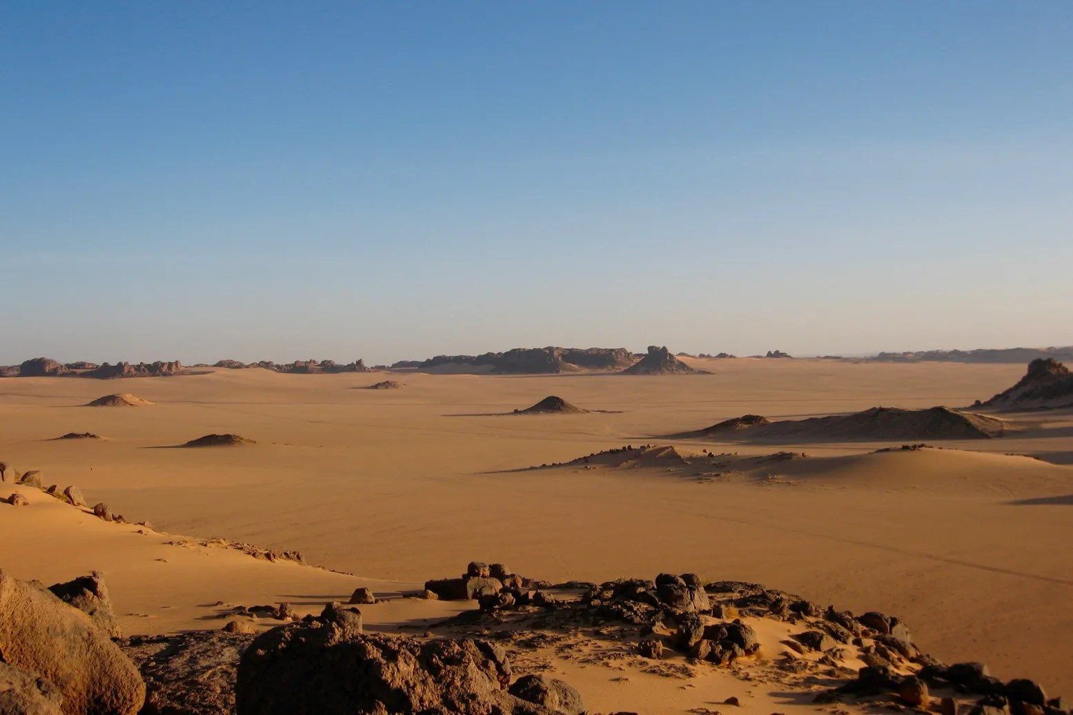
On the way we diverted to the gorge of Tim Missao (above) which I’d not visited since the 1980s in my 101 (left). The gorge is a lovely spot and represented the most animated topography we’d seen since the Guelb near Ouadane. We decided the Empty Quarter was aptly named. It made up one of the biggest sand sheets in the Sahara, void of trees, outcrops any higher than my knee and even significant sand seas. Algeria on the other hand was full of diverse landscapes: smooth granite monoliths, gnarly volcanic ranges, eroded sandstone escarpments lapped by sand banks, and of course sand seas that would cover Belgium.
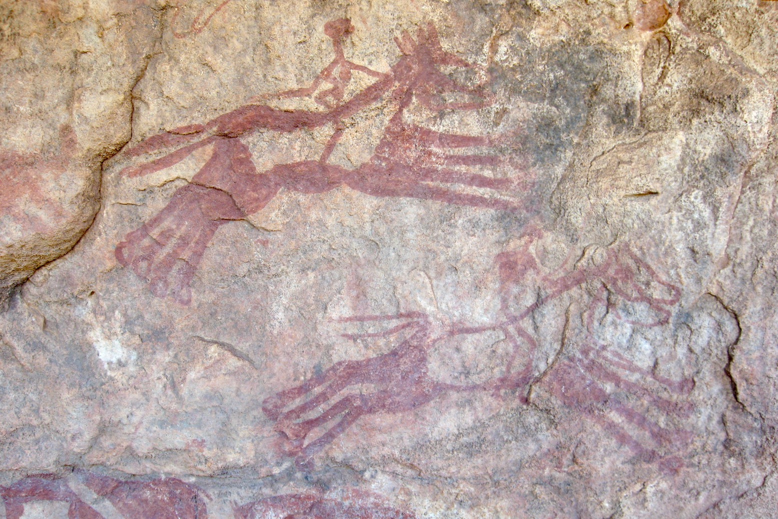
Garamantean horse chariots far from Germa in southern Libya

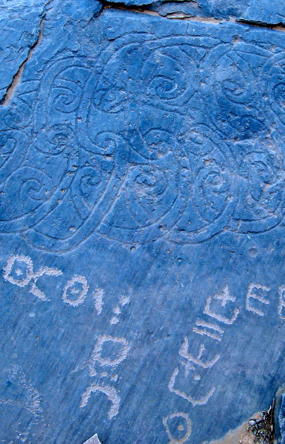
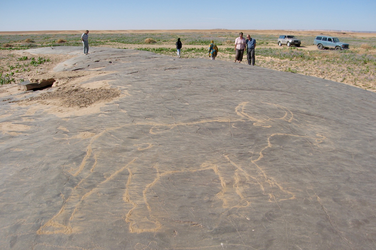
It was one reason why I returned here again and again. Another was that while exploring the gorge, the ever-observant Ron easily found the paintings of Garamantean horse-drawn chariots I’d missed on previous visits. The ancient rock art suggested that some two millennia ago traders from this mysterious civilisation based in southwestern Libya may have ranged much further across the Sahara than previously thought. In late 2007 similar discoveries near Jebel Uweinat in the far northwest of Sudan may do the same for the hitherto Nile-bound Ancient Egyptians.

Whether it was the stress relief or what we ate in Bordj, for us Tamanrasset passed by in a three-day blur of dozing and scurrying back and forth to the toilet block. Once the worst was over, Mohamed headed back north to In Salah and we got a change of crew for our final leg, east to Djanet.
The two new guys made me realise how lucky I was with Mohamed. To them, and many other guides, Mohamed’s crossing of the Quarter with us was seen as madness. Why risk your car out there when you could earn safe money transporting regular tour groups along the Hoggar and Tassili N’Ajjer tram lines? For all his faults and bullshit, Mohamed enjoyed a true adventure much like ourselves. We may never choose to go there again, but with his help we’d seen it for ourselves.
Already a warm, retrospective rosey view of northern Mali’s barren sand sheet was setting in. Now it felt frustrating to be hemmed in along washboard tracks.
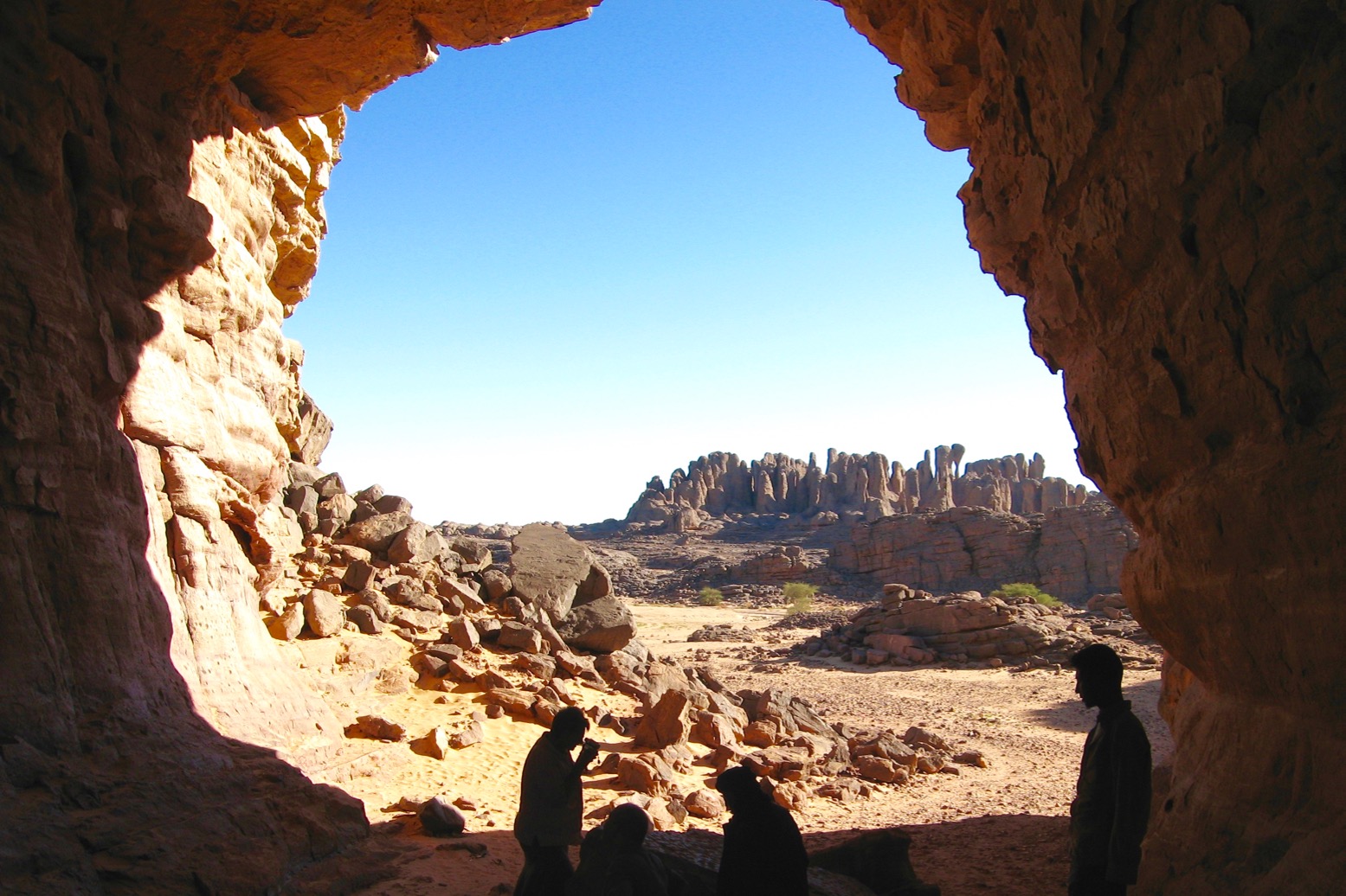
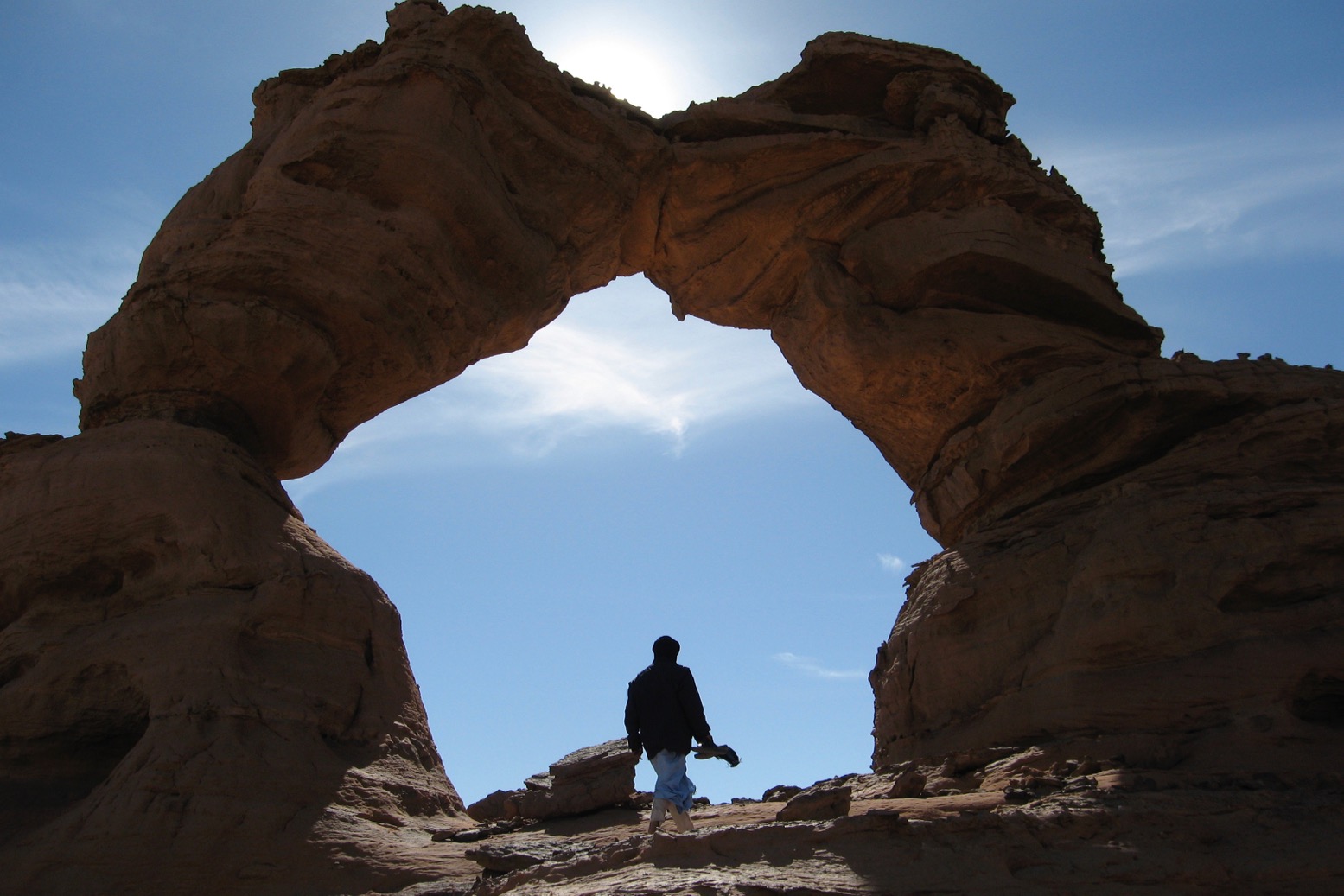
El Ghessour

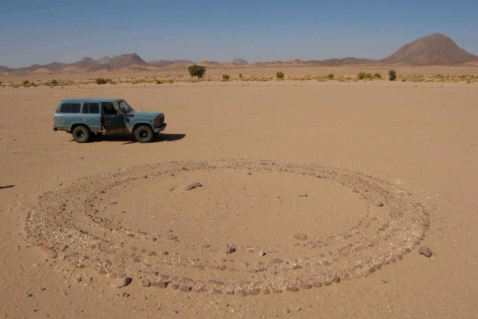
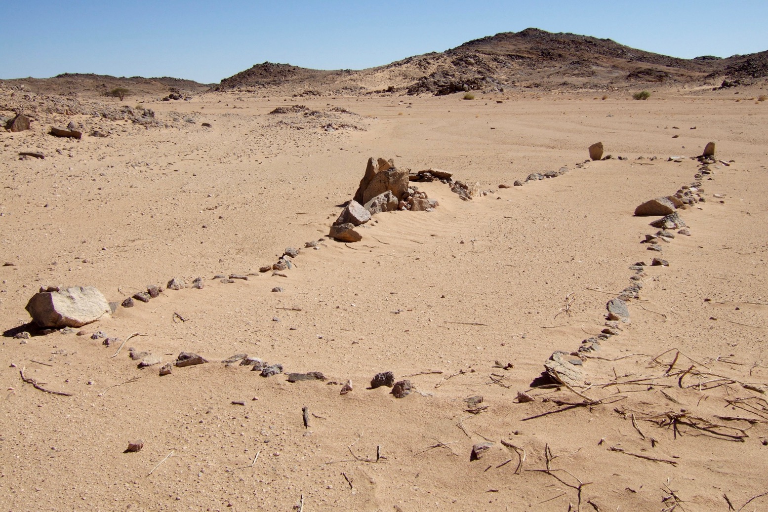
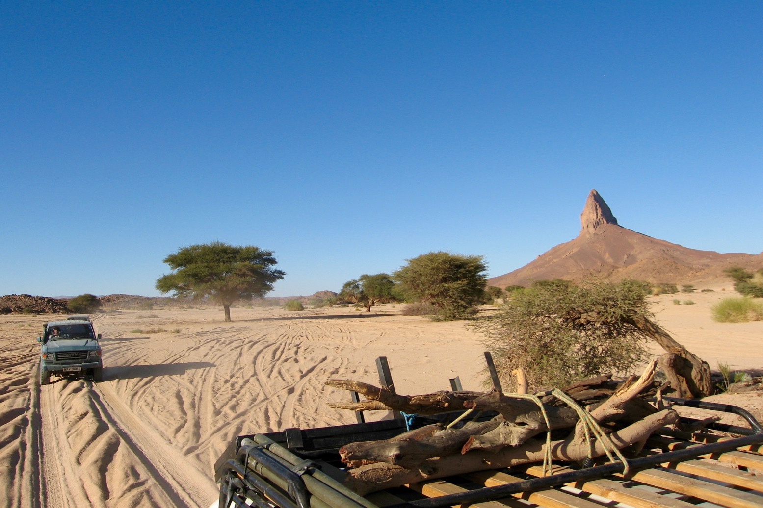
Still, one look out of the window made up for it: the shark’s fin blade of Areggane mountain, the sand-swept canyons and rock arches of Tagrera, El Ghessour rock art, and the amazing Youf Ehakit. Wer also passed circular paved pre-Islamic tombs I’d never noticed before, and steps carved eons ago into a rocky sentinel that Ron had discovered on a previous trip. Our drivers had to be persuaded to make the deadly 20-kilometre diversion off the track into the unknown and once there, feigned indifference.
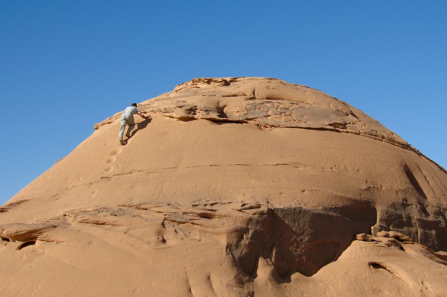
Stepped sentinal

It was early December now and the weather was turning. Frost coated my sleeping bag after a night beside the Erg Admer dune passage which led to the oasis town of Djanet.
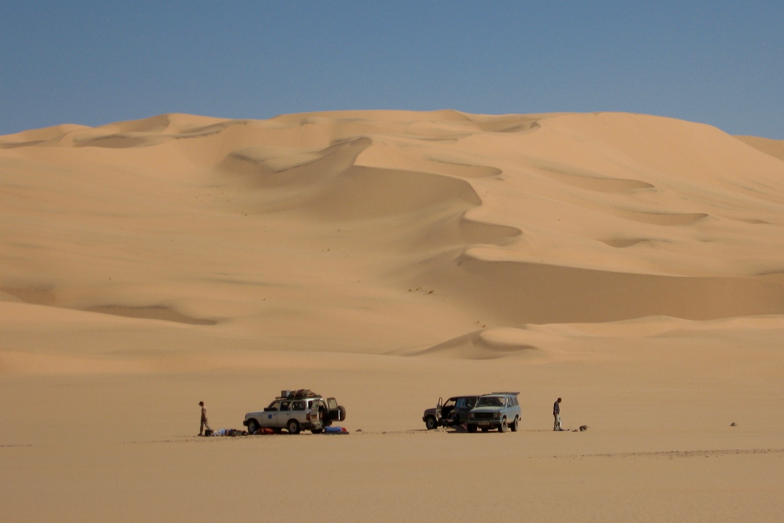
Ready to cross the Erg Admer

By early afternoon the cars had clawed their way onto the dune slopes to the crest from where the tawny Tassili N’Ajjer escarpment unrolled across the northern horizon. In no hurry to reach town, we camped early below the cliffs, cooked up the best of our remaining food and watched the same full moon rise as it had done over our first camp together in Morocco, four weeks and nearly as many thousand miles ago.
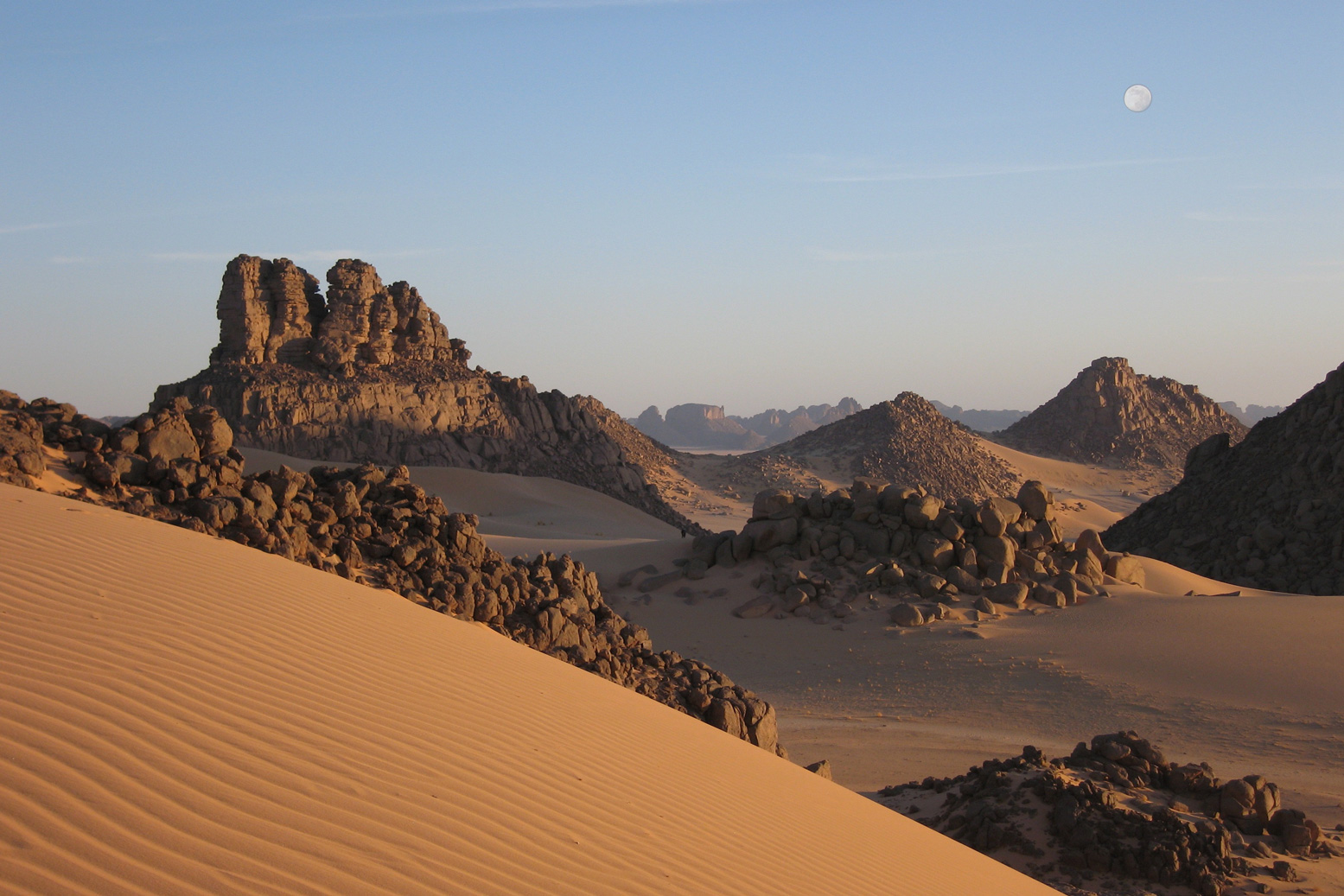
Moonrise on the Tassili

In Djanet next day we organised a day trip up to the Jabbaren rock art site up on the plateau. A car collected us before dawn and as the sun lit up the Erg Admer dunes behind us, we were already panting steadily up the goat track that led to the plateau top. As we trudged up, a lone figure scampered down with a cheery salaam.
Behind us a hoard of bedraggled ‘illegals’ from sub-Saharan Africa had emerged from the rocks, following our path uphill. Dropped there overnight by who knows who, they’d been instructed to wait for the guide who’d lead them across to Ghat in Libya, two days away. From there they were expecting to get to Malta and mainland Europe, but likely as not would get deported in one of Libya’s periodic purges or trapped as slave workers. Less than a decade later Gaddafi had fallen with other North African despots and the trickle of migrants became a tsunami.
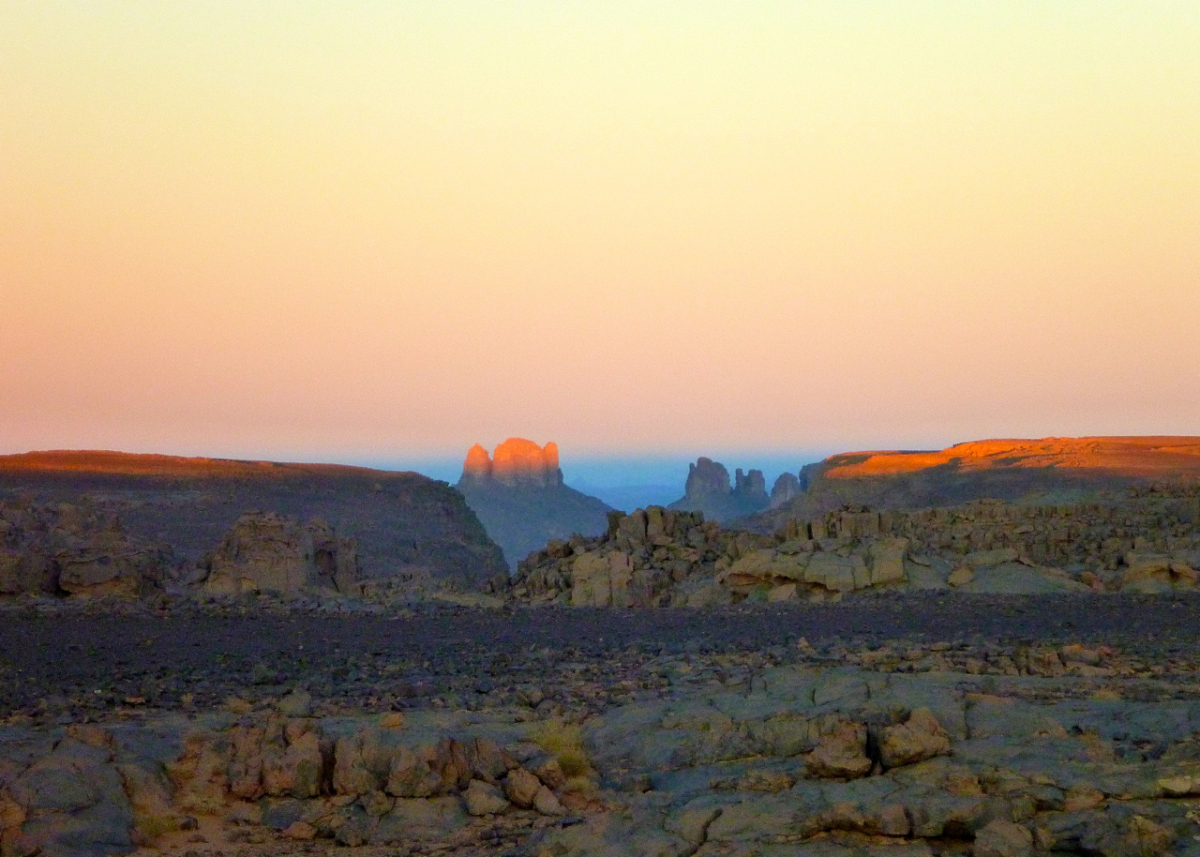
Even back then, it all put our own adventurous caper into perspective, but we were still pleased with ourselves. We’d driven laterally across as much of the Sahara as was possible without ensuring serious trouble and our own deportation. That done, now it was time to head north.
Algeria Timbuktu Mauritania 1990

Desert Travels Index Page

Buy Desert Travels 2021 on Amazon

Book Chapters:

Chapter 23: Battle of the Saharans

In Chapter 10 of Desert Travels the cantankerous 101 leading my first desert bike tour was stranded at the Tin Taradjeli pass (above). As so often happens in the Sahara, the next person to turn up happened to be a diesel mechanic.
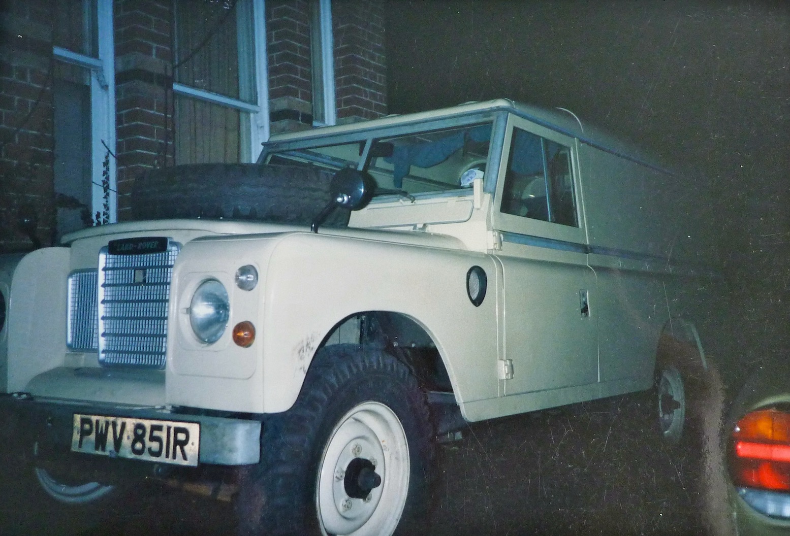
Steve soon got the 101 running and, long story short, the following year we decided to team up and do a big Sahara trip together: him in his Land Cruiser, me in an old Land Rover 109.

For both of us this was the desert trip we’d each been planning in our heads for years. When travelling together briefly with my bike tour the previous year, we’d quickly established a shared passion for exploring the Sahara and set about doing a big trip together, each with his own 4×4. Though I’d been keen to head for the Ténéré Desert in Niger, we’d settled on keeping off the tarmac where possible and decided to head down to the Guinea’s highland jungles and the Mauritanian Sahara. 

Nineteen ninety was not such a good year for me: post bike-tour debt, a bad crash leading to hospitalisation, followed by homelessness, a smaller bike crash which at least put an end to my dozen years of despatching. And finally my Land Rover, all set for a desert adventure with Steve, blew up in darkest Sussex at 2am, while I was doing some late deliveries.

As a way of keeping the tip on the rails Steve invited me to ride his XT600Z instead. I wasn’t that keen on bikes by that time, plus it would leave me dependent on him. But I accepted his offer and we met up in France, the bike towed on its back wheel with a similar arrangement I’d used on the 101.

Unfortunately, as so often happened in those days, all my films were lost on a flight in Mauritania. Since then I’ve learned: do not put things you cannot afford to lose in the hold baggage. What few photos I have were shot by Steve.

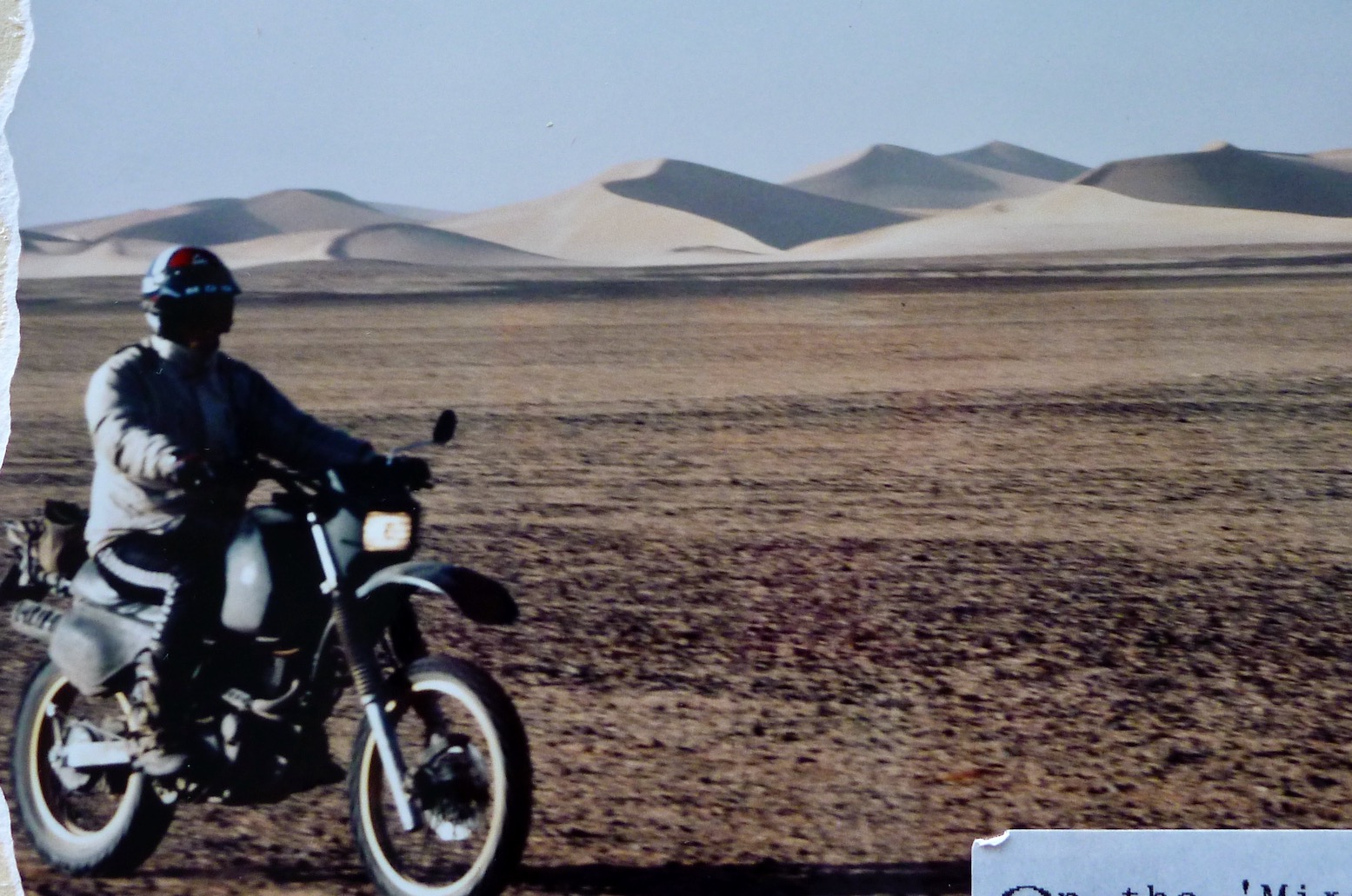
On the ‘closed’ piste between Fort Mirabel and Hassi bel Guebbour.
Steve’s XT was nicely set up and of course all the essential gear was carried by the car.
I’m wearing my airey, paper-thin Swedish Tenson jacket. Beyond wearing a lid, gloves and boots, the idea of wearing any sort of armour never occurred to me.
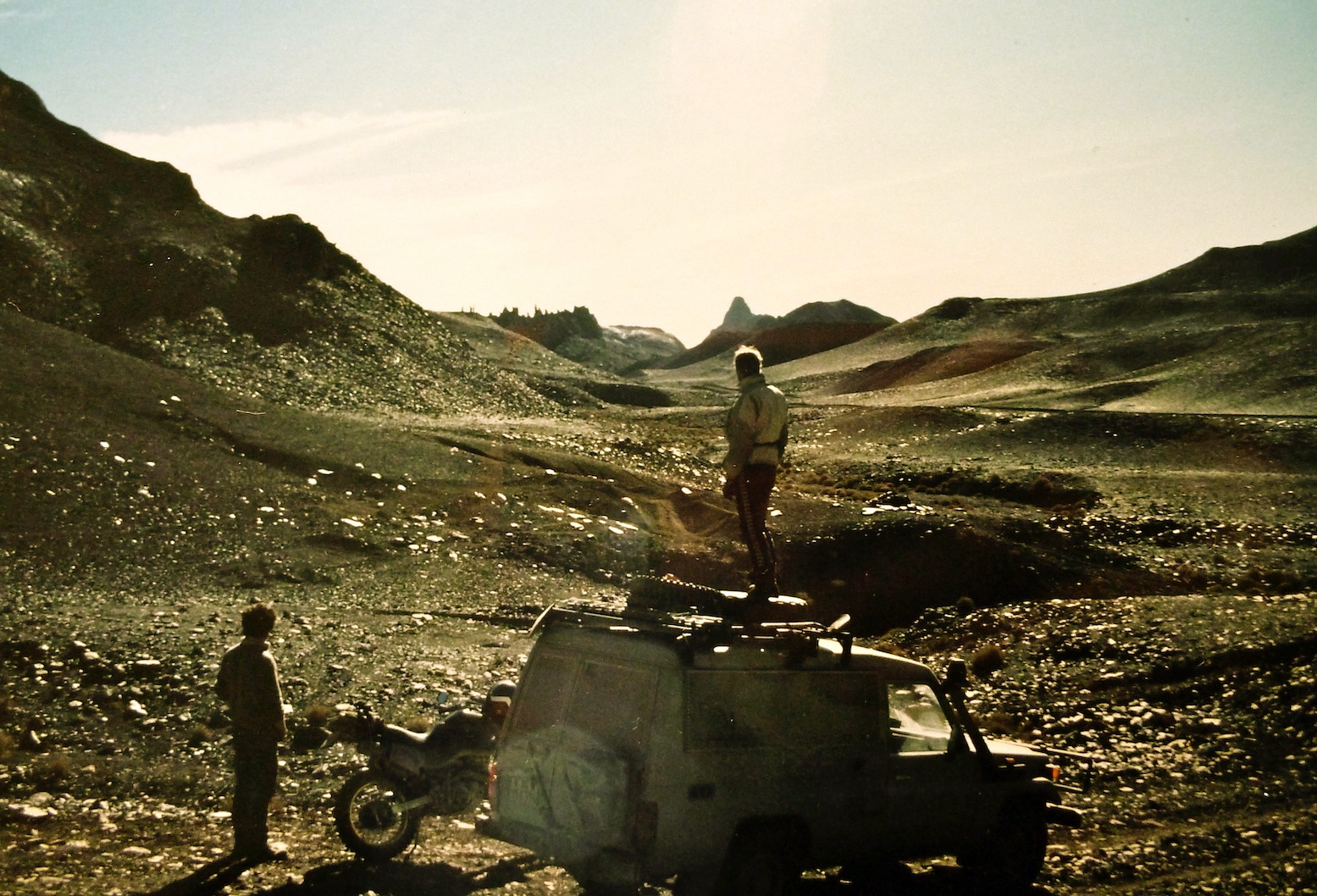
On the gnarly piste up from Hirhafok to Assekrem deep in the Hoggar.
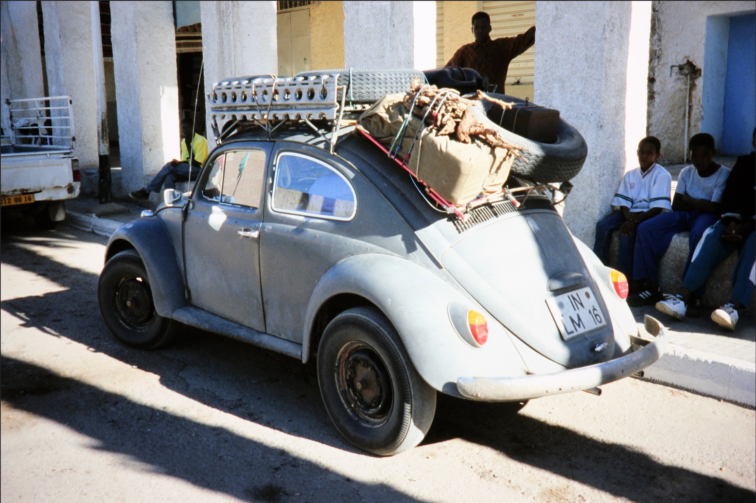
I found this picture recently on the internet and am pretty sure it’s the same ancient Beetle we saw at Hassi Tabelbalet, just after the Gara Khanfoussa dune crossing on the Graveyard Piste.

“… A couple of hours later we reached Tabelbalet well on the far side of the erg and were dumbfounded to come across an eccentric German father and son in a ratty VW Beetle. Amazed that a forty-year-old 2WD had made it through the dunes, Steve confessed later that the Germans’ presence had soured his crossing…” 
One of the easier sections on the sandy trail along the Niger river from Bourem to Timbuktu.
Tooling around in the dunes somewhere near Timbuktu where our trip was about to unravel.

‘I think I’ll head off when we get to Ségou [the next major town]. I’m not really enjoying all this riding around after you. I want to go off and do my own thing.’
I was determined to salvage the trip for my own ends. The shared driving had not materialised, the pace was ridiculous (we’d done around 4000 kilometres in less than two weeks) and everything I did was wrong or not enough. I didn’t see such a separation as a failure, it was merely the right thing to do if I was not to end up feeling resentful. 
Somewhere near Timbuktu. Too much vegetation for my liking
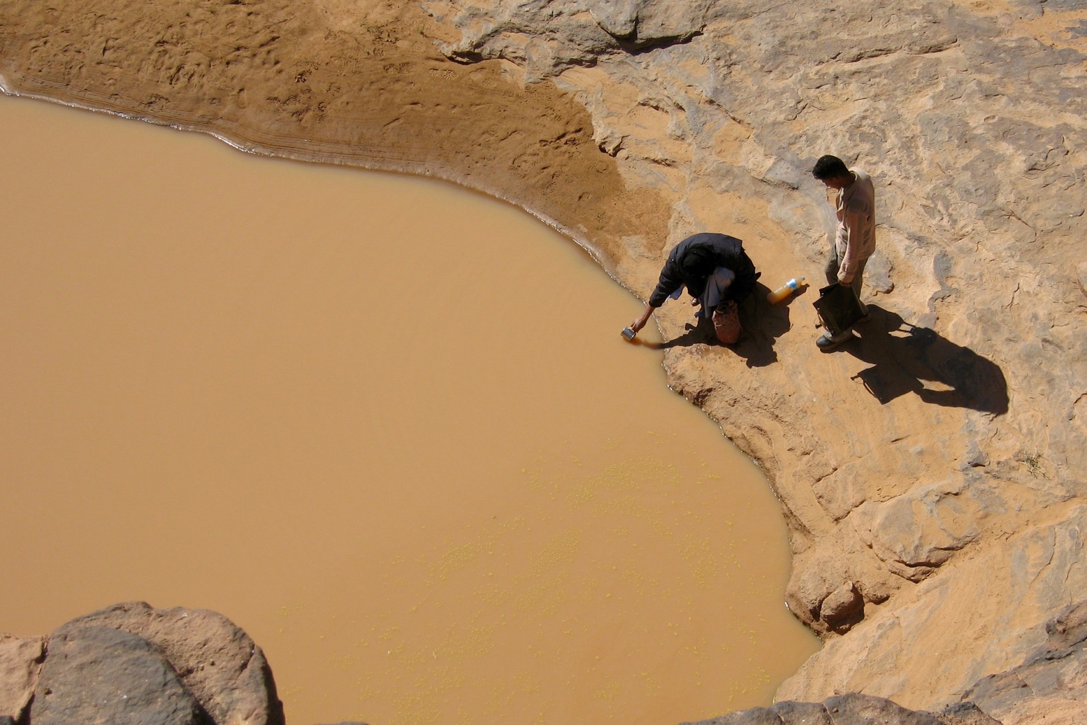
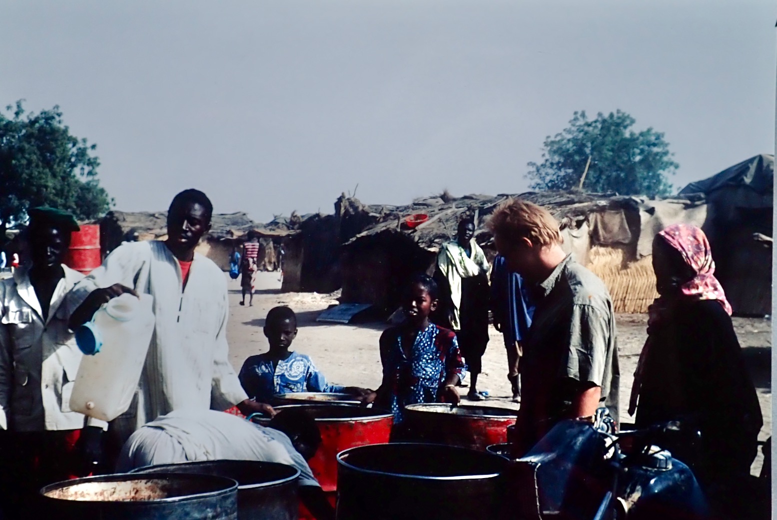
Getting water in a village in the Malian Sahel.
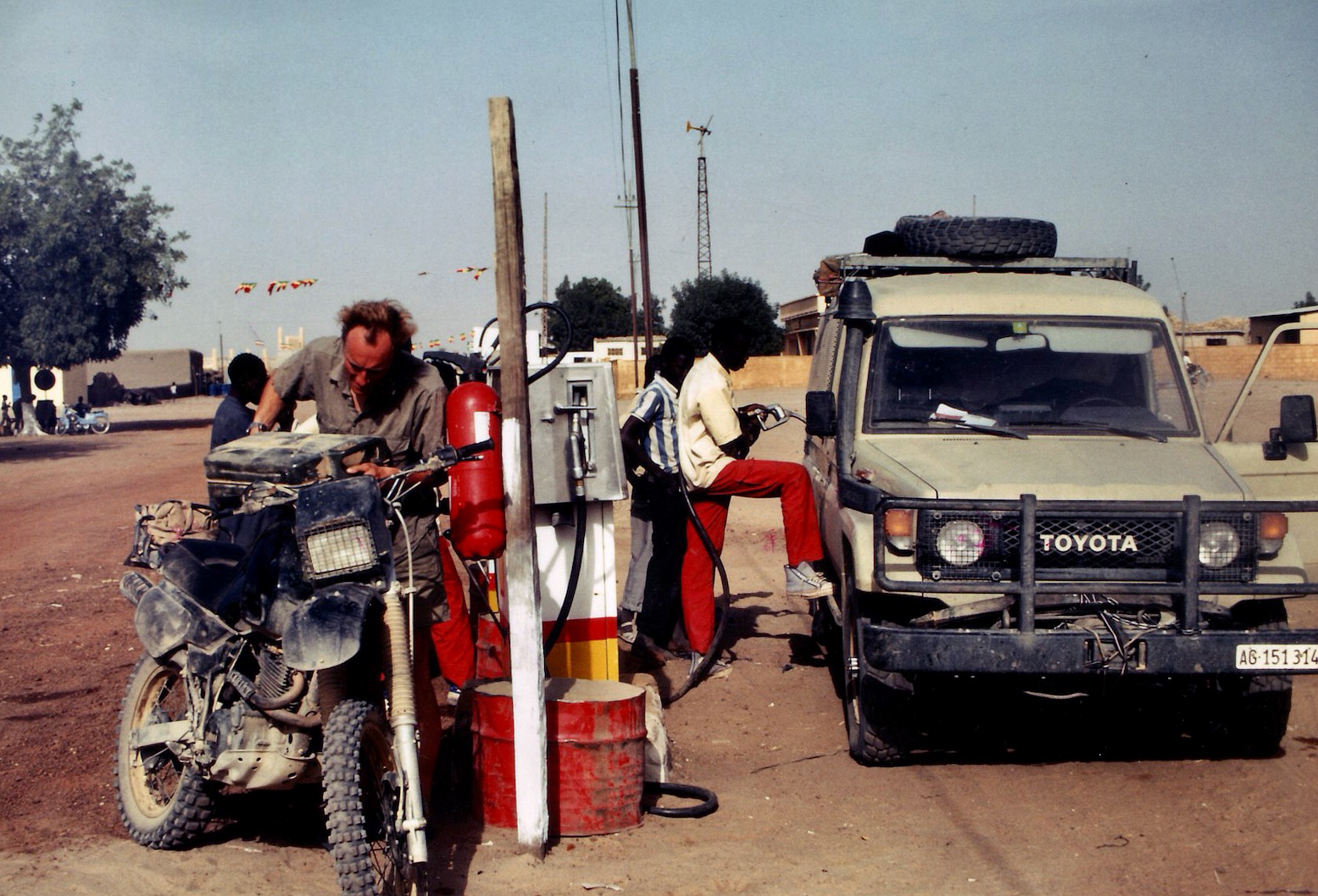
Fuelling up in Nara, just before the Mauritanian border.
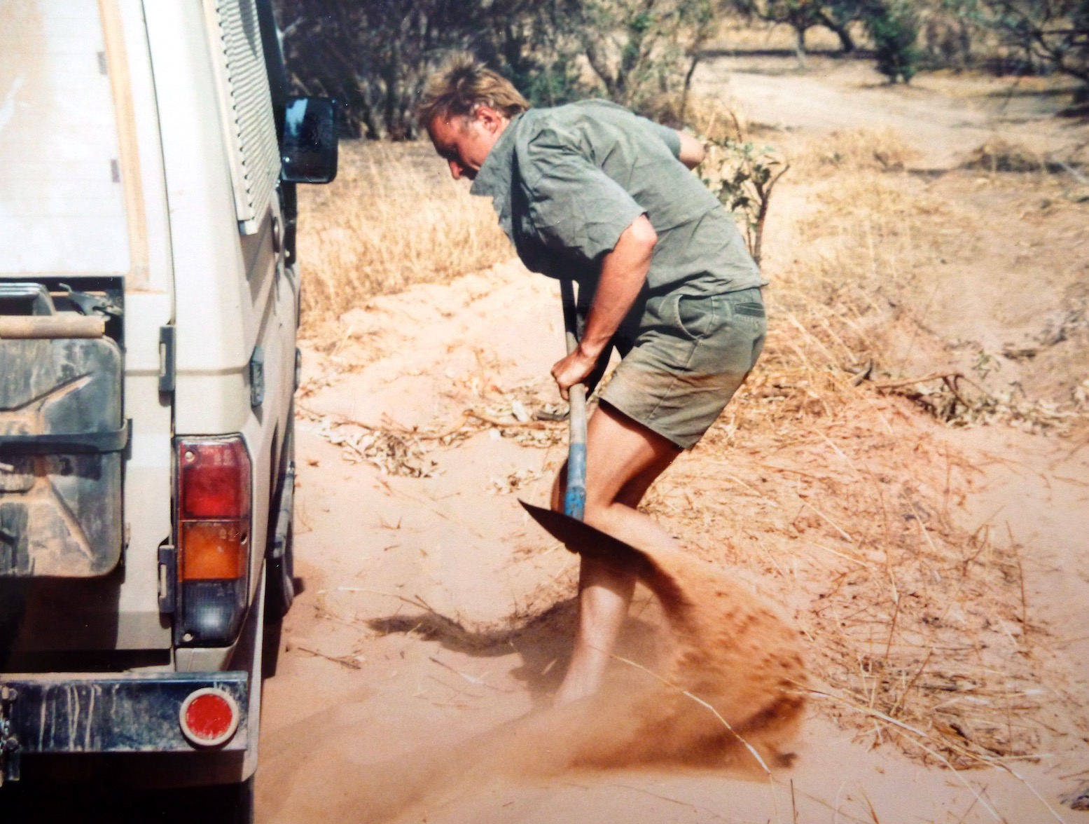
Digging out on the way to Adel Bagrou, the Mauritanian border post where we managed to talk our way in without a Carnet de Passages.
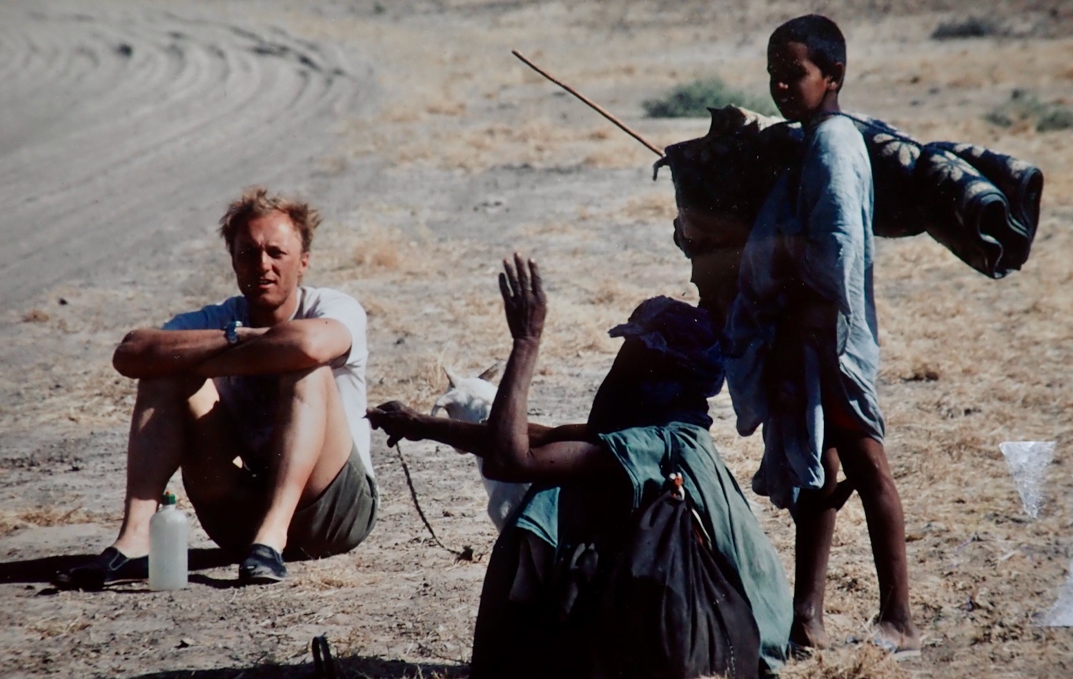
Trackside break on the way to Nema.
In Nema we picked up the Ghandi-like guide called Nani for the 800-km crossing to Tichit. Just as well; there is no way we could have found the way without him as most of the time there was no track (or he rarely followed it).
Steve and Nani have a brew near Oualata.
I remember this bit well – a steep sandy pass called ‘Enji’ about 300km from Nema by which time I was riding the unladen XT like a Dakar vet. When you’re good it feels like ski-ing.

Enji is the plateau at the bottom right. This 1960s map shows a track, but in 1990 most of the time there was nothing but sand and annoying tussocks.
Sunk down to the axle in the soft sands west of Tichit.

As agreed near Timbuktu, in Tidjika Steve went his way towing the XT, and I went mine. I met some American Peace Corps Volunteers and my travels in Mauritania took on a whole new direction.

Once in Tidjikja, I flogged my crash helmet to a delighted policeman. This time Steve didn’t even try to persuade me and drove off towards Nouakchott. 

Sahara West–East with VW Vans, 1984 • Part 4/8

See also:
Sahara West-East Crossings
Astro Navigation in the Sahara

Reports by Peter Reif
Photos by Peter Reif and Arike Mijnlieff

OSEWO Index Page

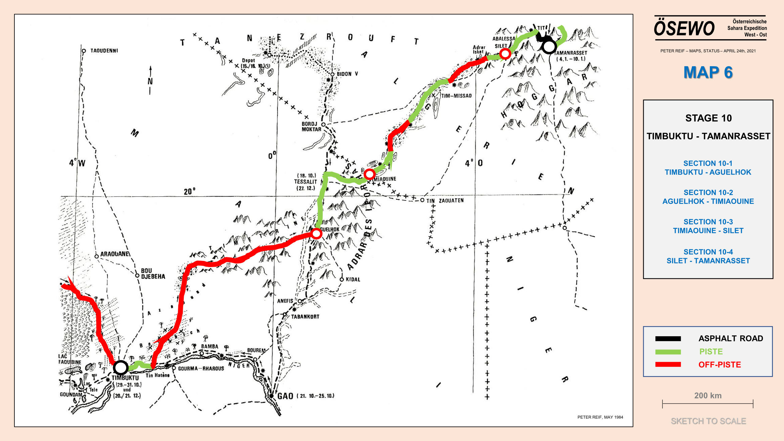
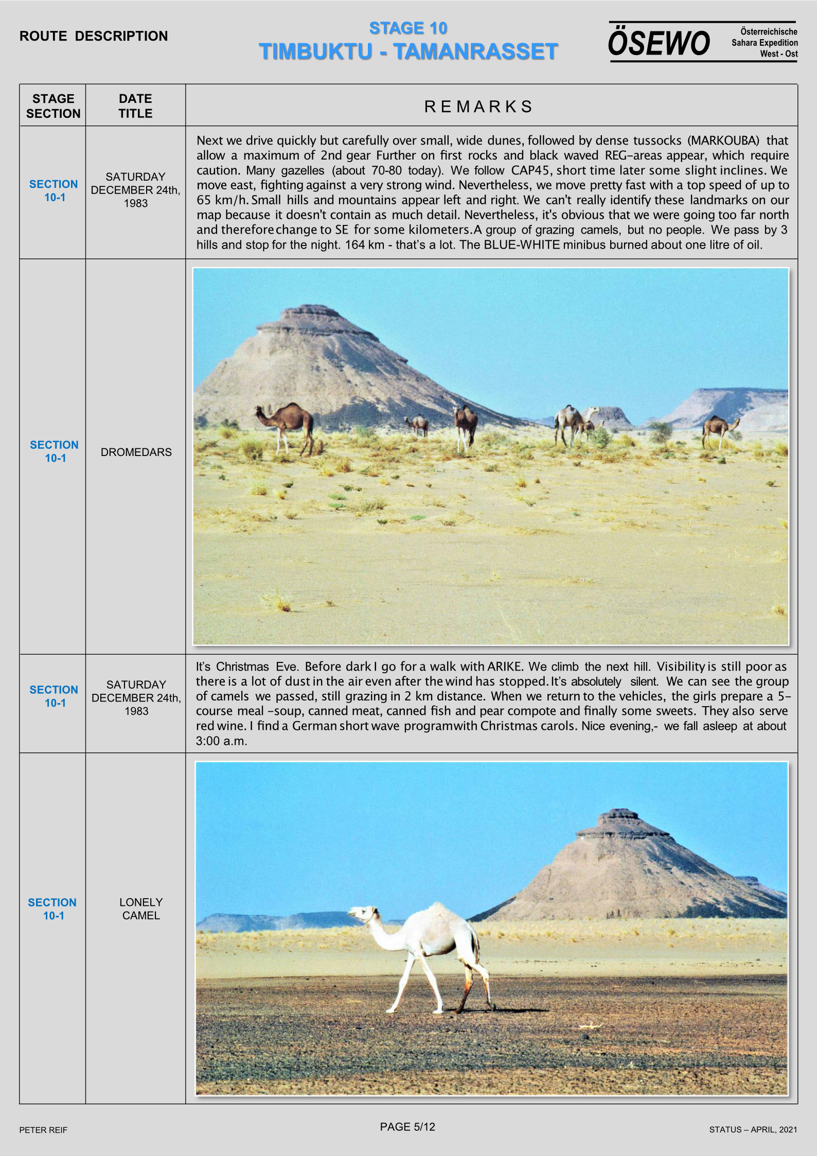
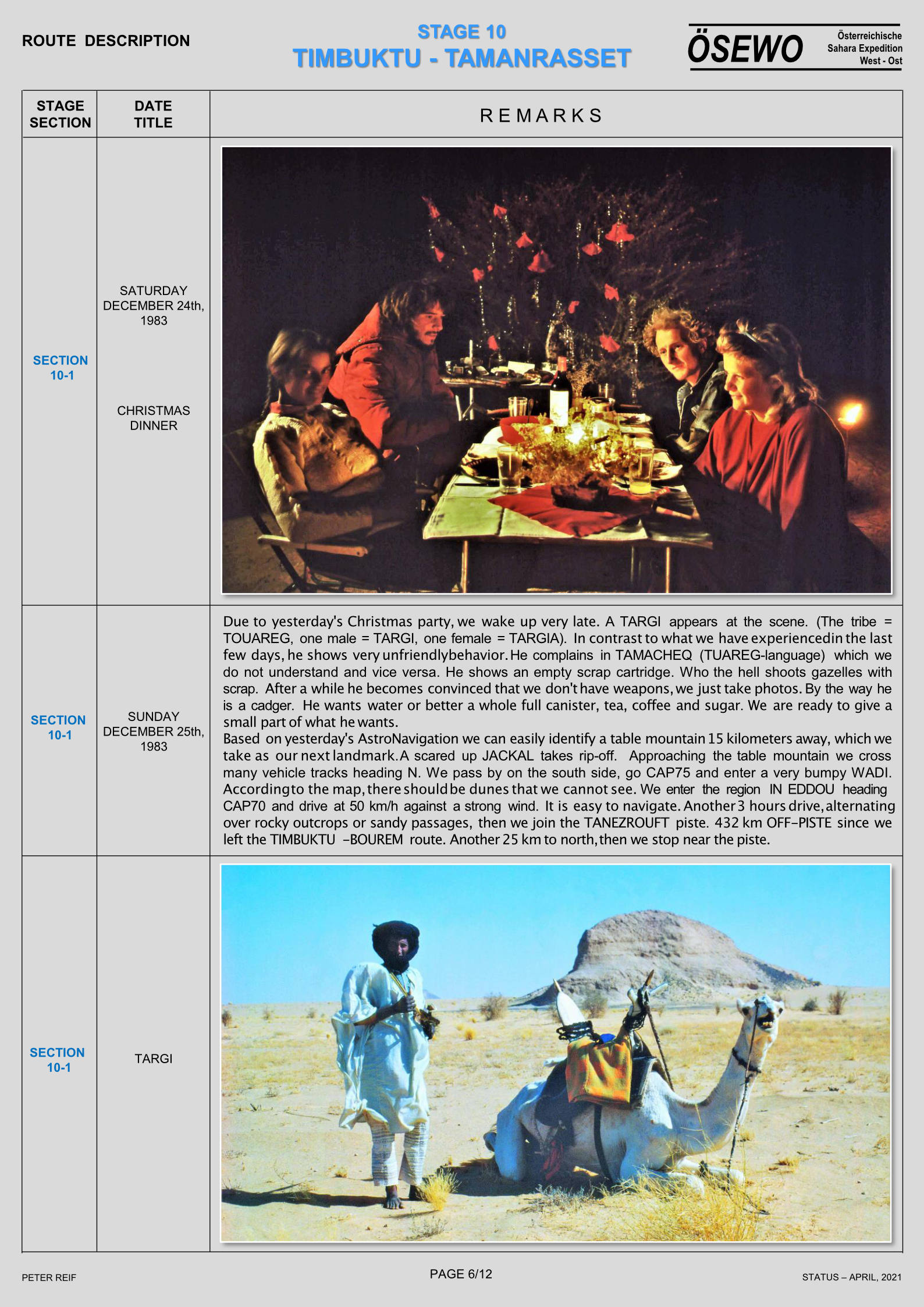
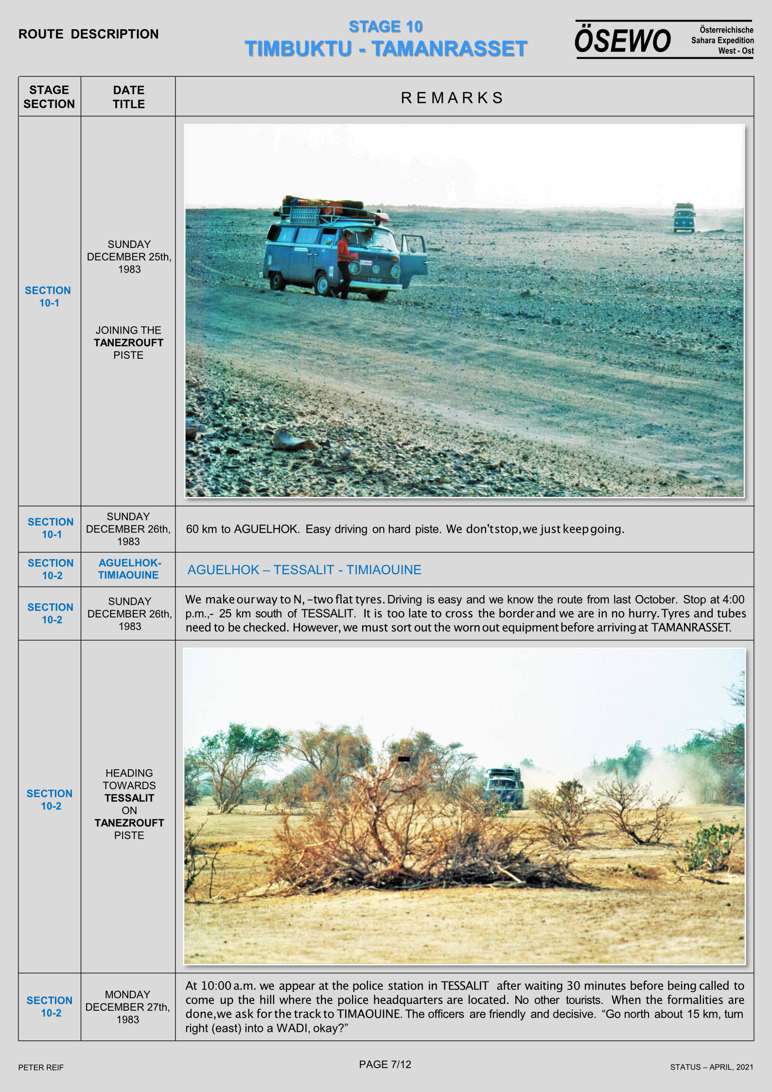
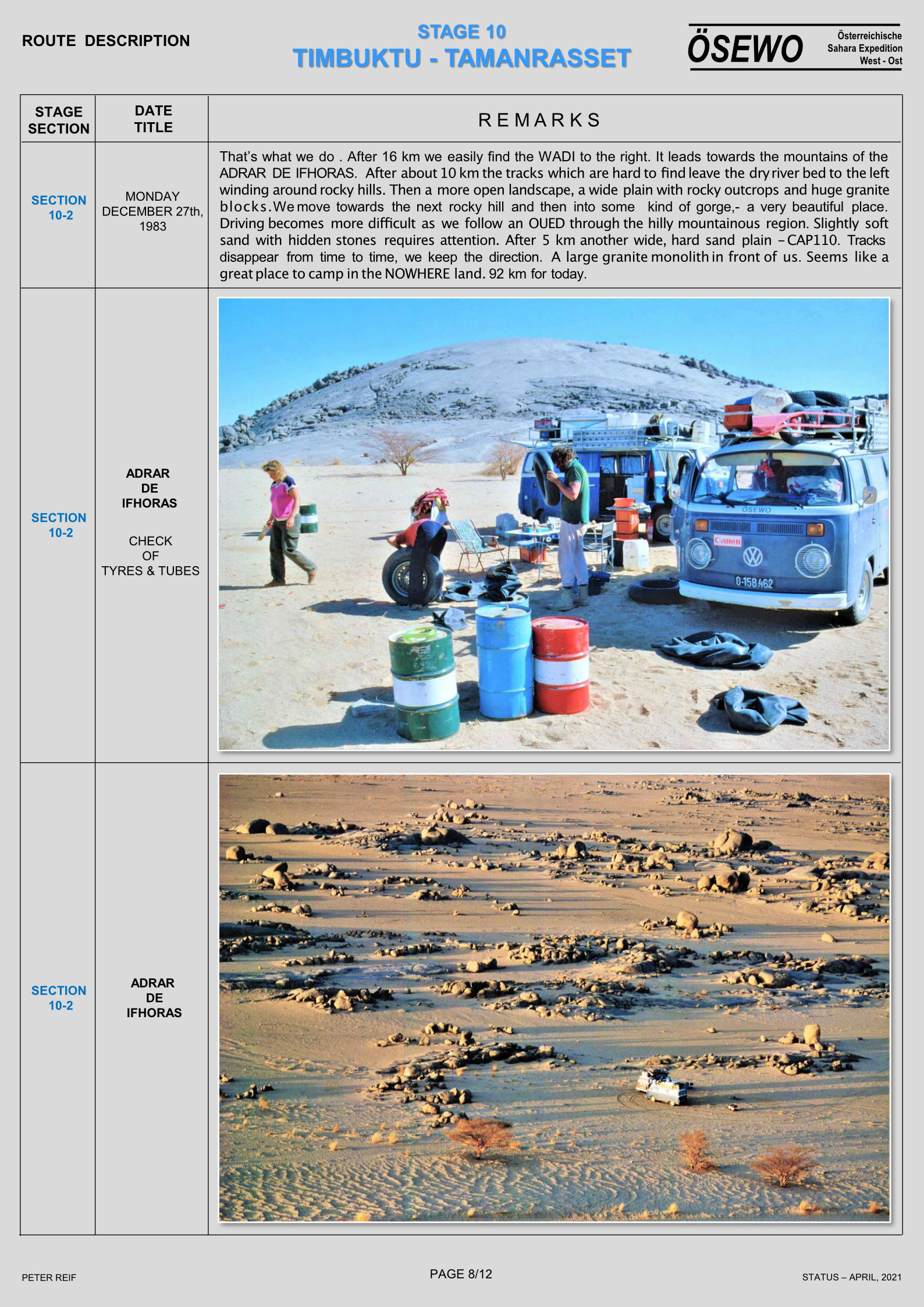
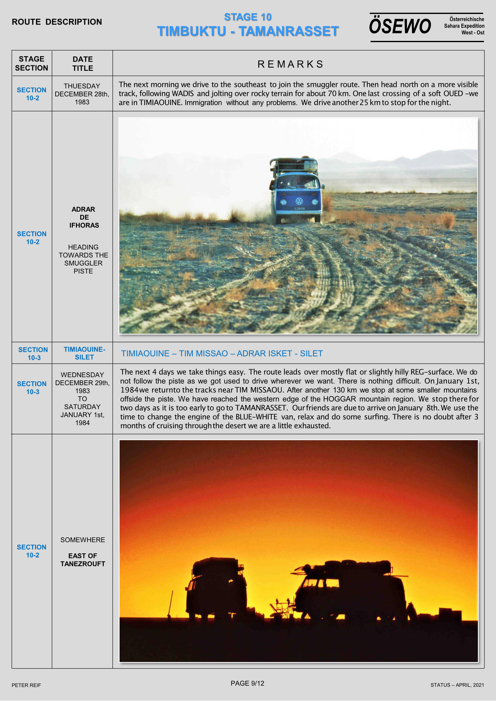
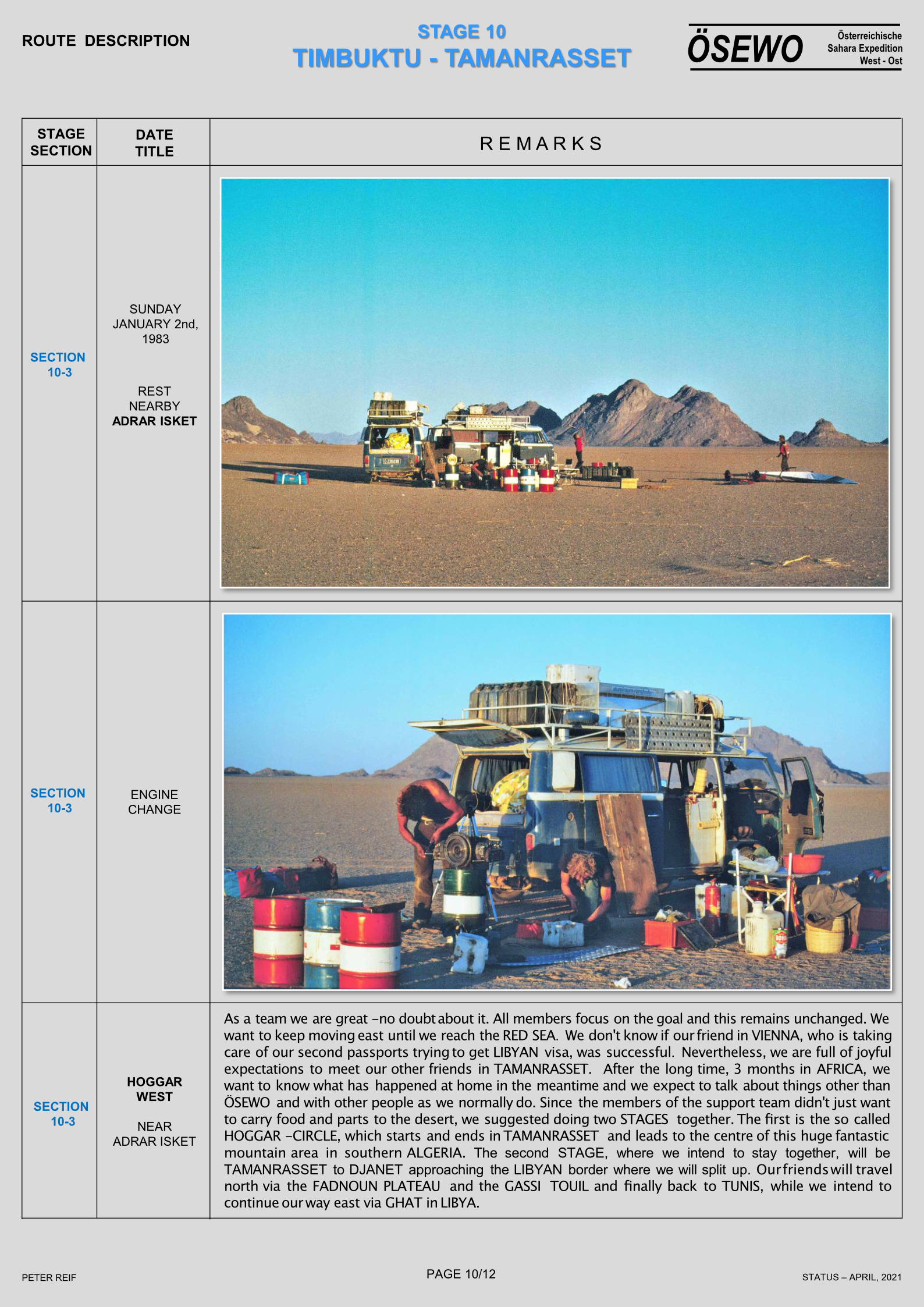
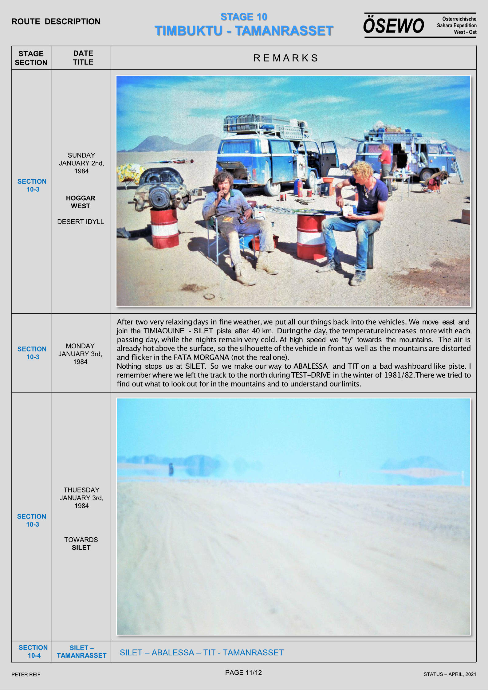
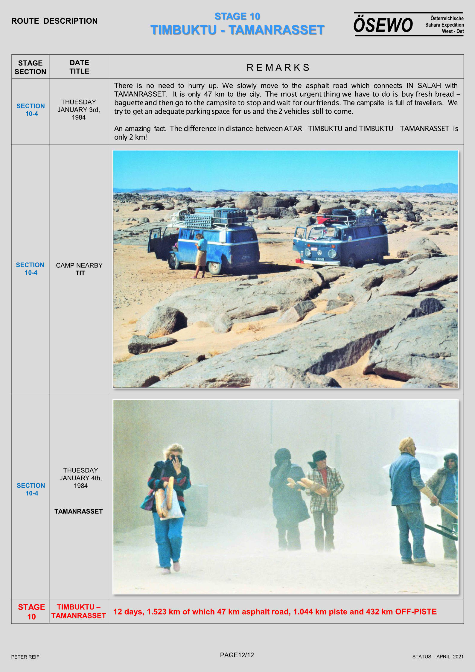
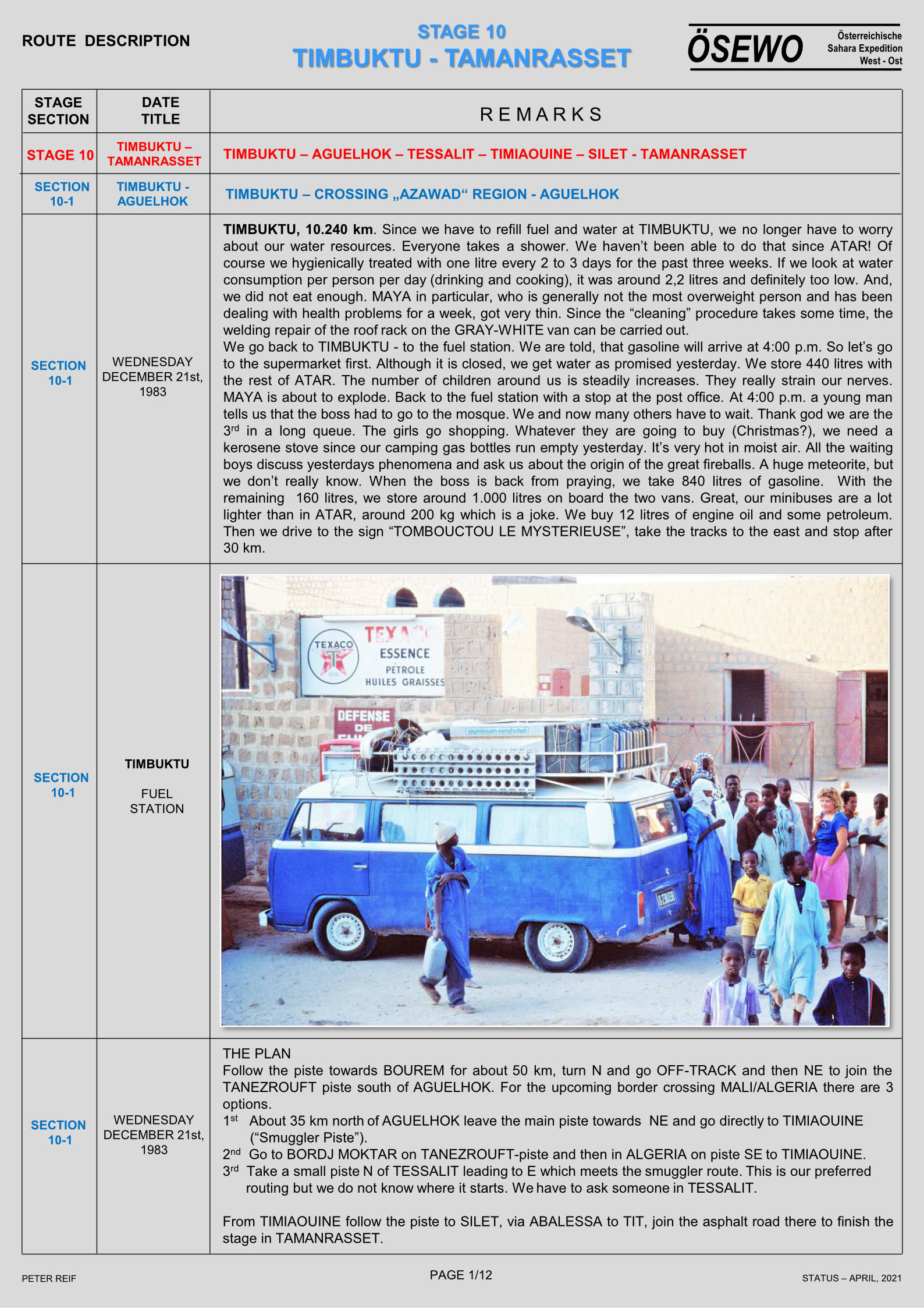
Part Four of Peter Reif’s report and maps recalling ÖSEWO: an Atlantic-to-Red Sea crossing of the Sahara in 1983-4. Following the tough, three-week crossing of the Majabat al Koubra to Timbuktu, the two VWs head northeast back into the desert for the Algerian border they crossed two months earlier on the way down.
For other parts, click the Index Page.

Next stage

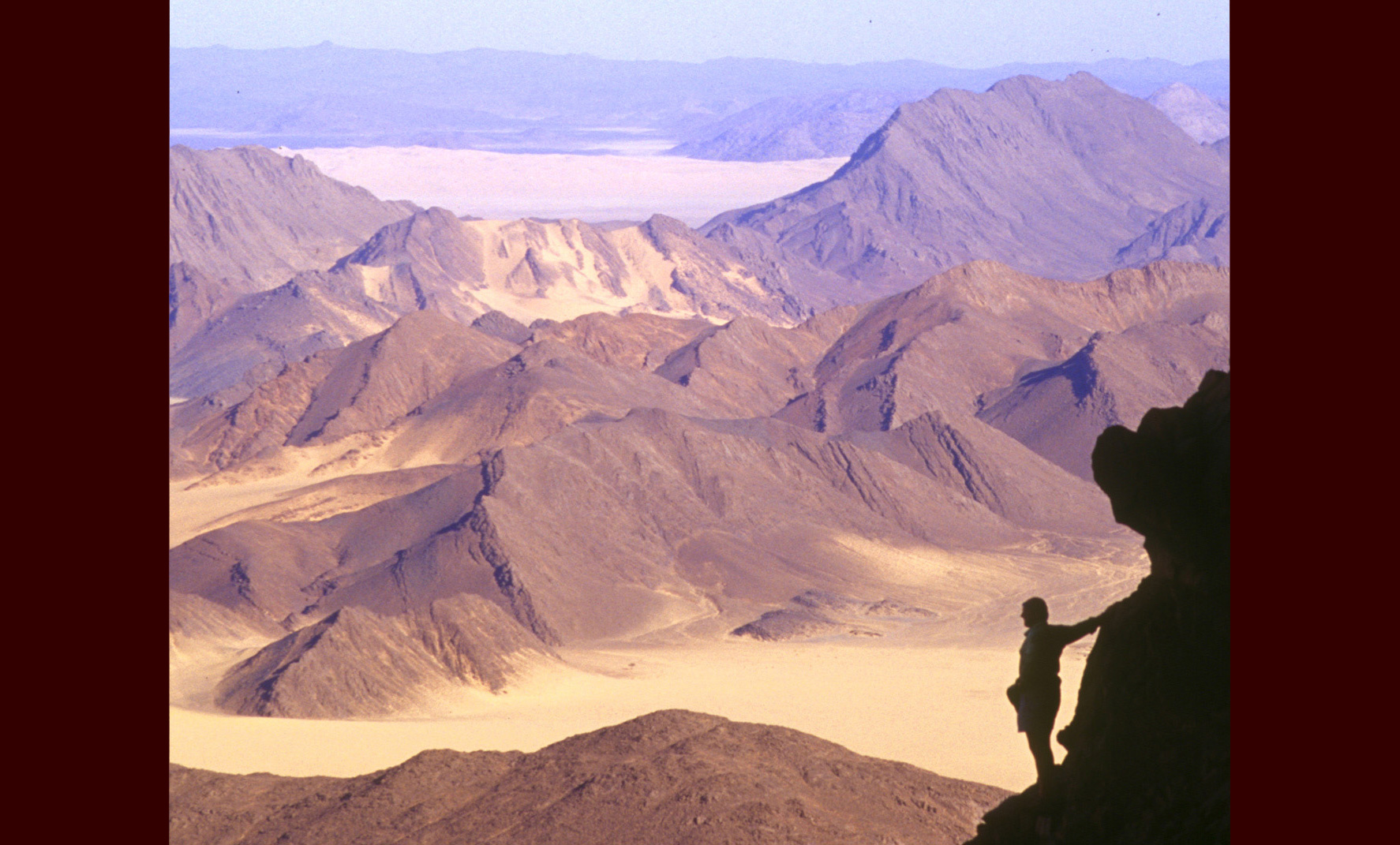
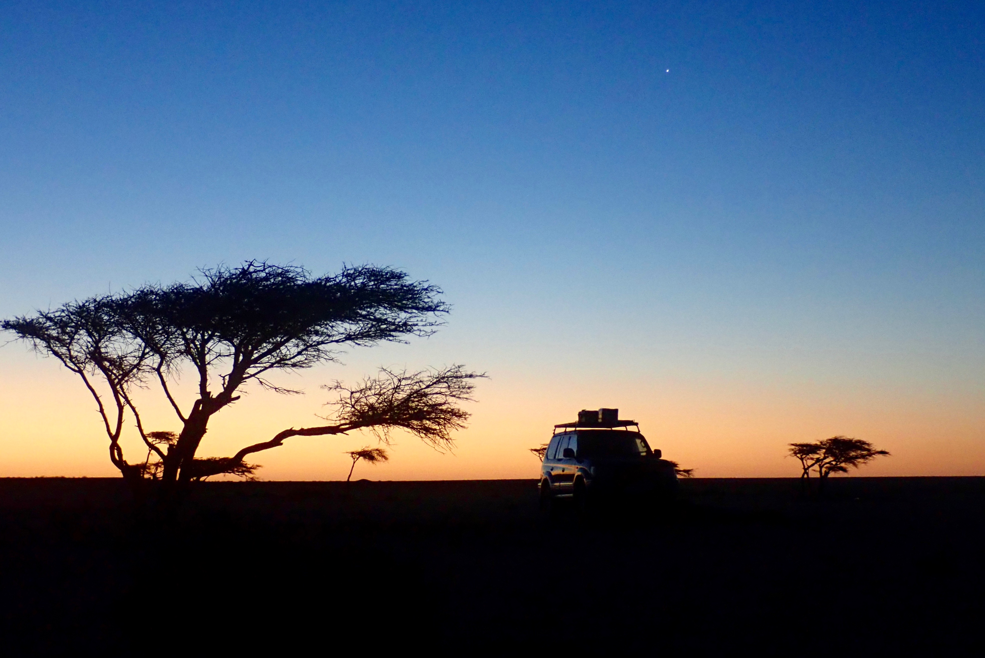
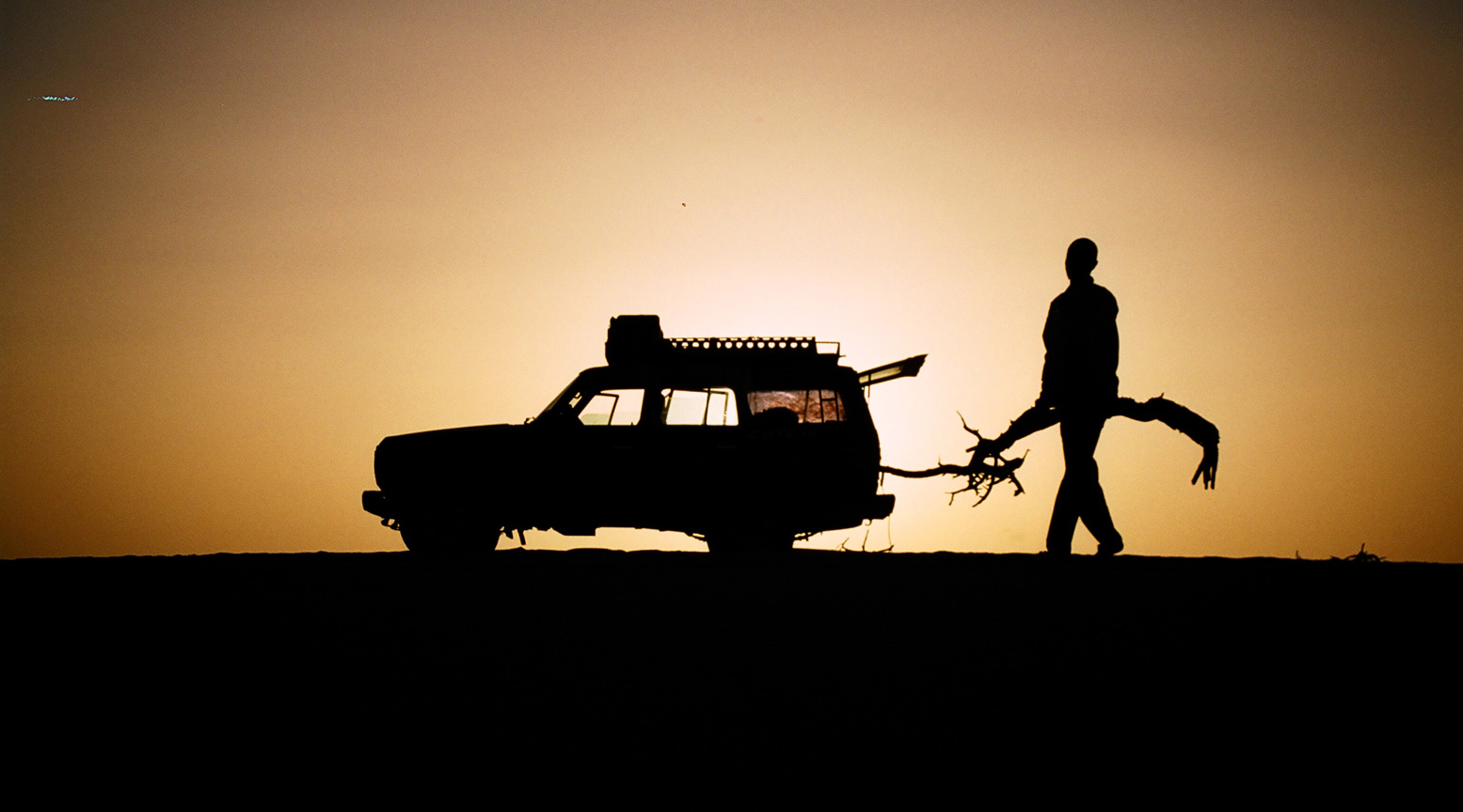
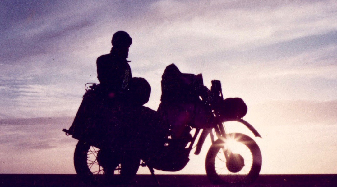
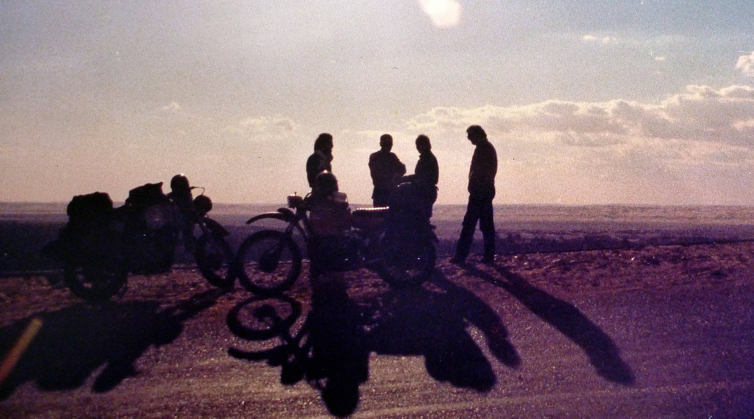
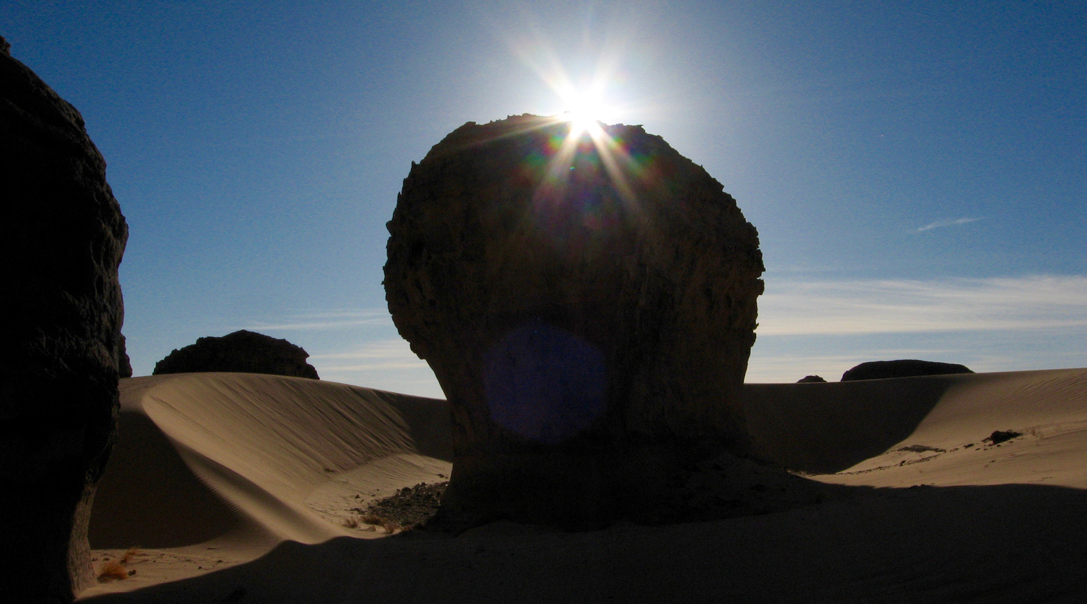
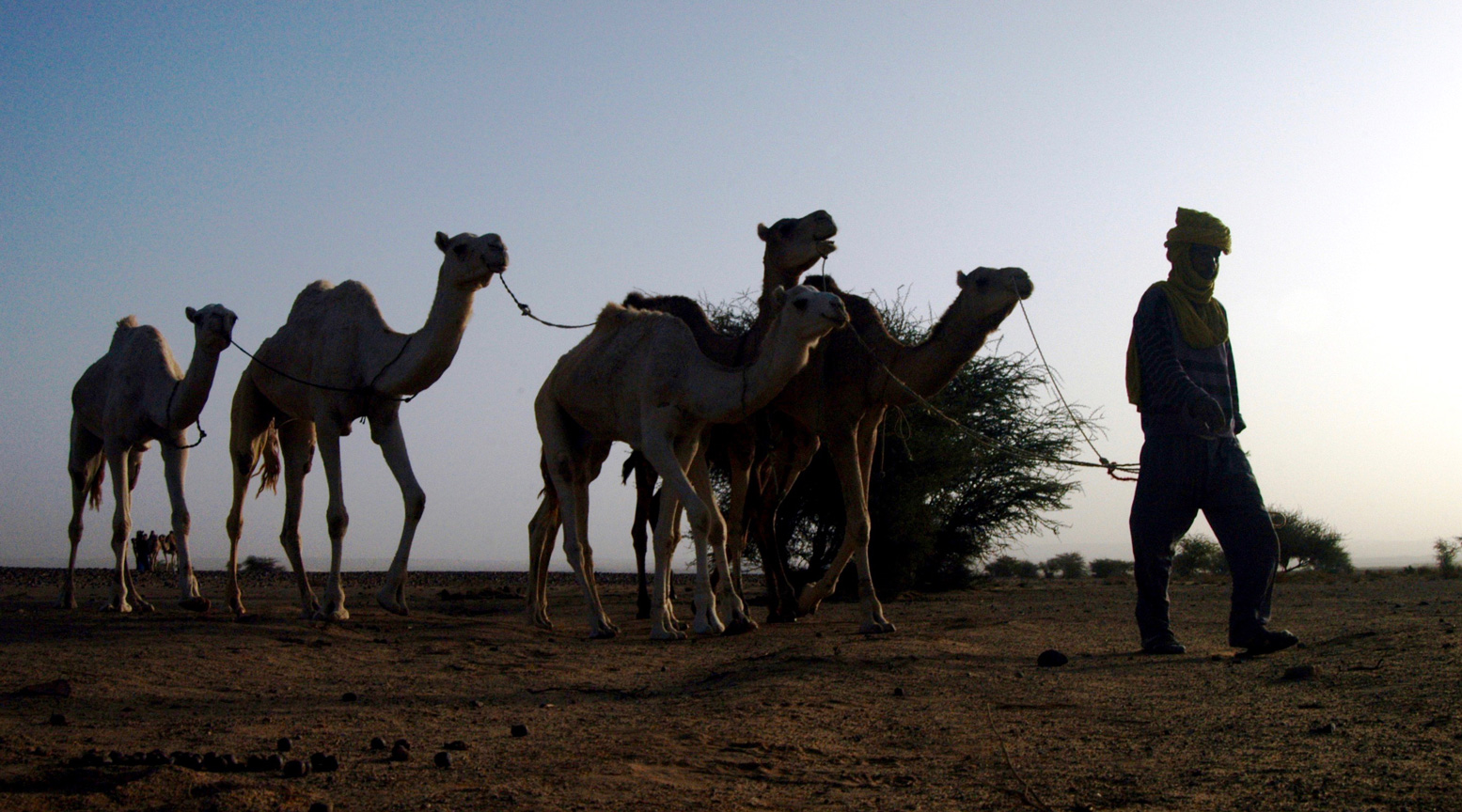
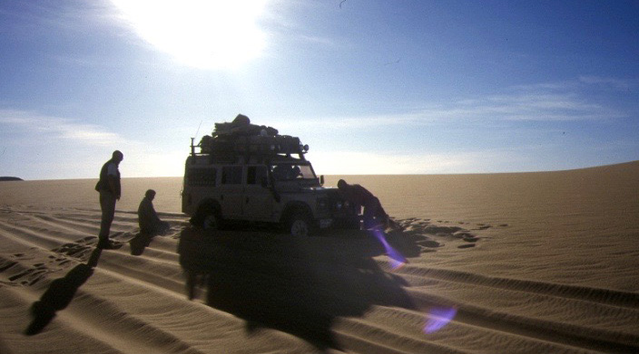
S is for Sahara Silhouettes

Other silhouette galleries

Part of the occasional Sahara A to Z series

The Road to Timbuktu

Tony van Gastel – 2002

Long associated with mysterious beauty, Islamic learning and enormous wealth, Timbuctu the Forbidden City has always fascinated outsiders. Early European travellers were determined to reach it, but many did not make it. Between the late 16th century and the middle of the 18th century at least 43 travellers made an attempt to reach it, of whom just four succeeded. The first European, Gordon Laing, who reached Timbuctu in 1826, never returned. Rene Caillie reached Timbuctu in 1828 and came back to tell his story.

Timbuctu fascinated all of us and we were set to reach it. The city has achieved a legendary reputation and ‘Going to Timbuctu’ is similar to going to the end of the world, one of the most desolate places on earth.

Even today it is still a challenge to get there. Roads are said to be non-existent; Timbuctu can hardly be reached by land. Our objective was to get to Timbuctu without the help of a tourist guide.

We were with two Dutch families in two strong 4-wheel drive vehicles: a Toyota Land Cruiser and a Nissan Patrol.

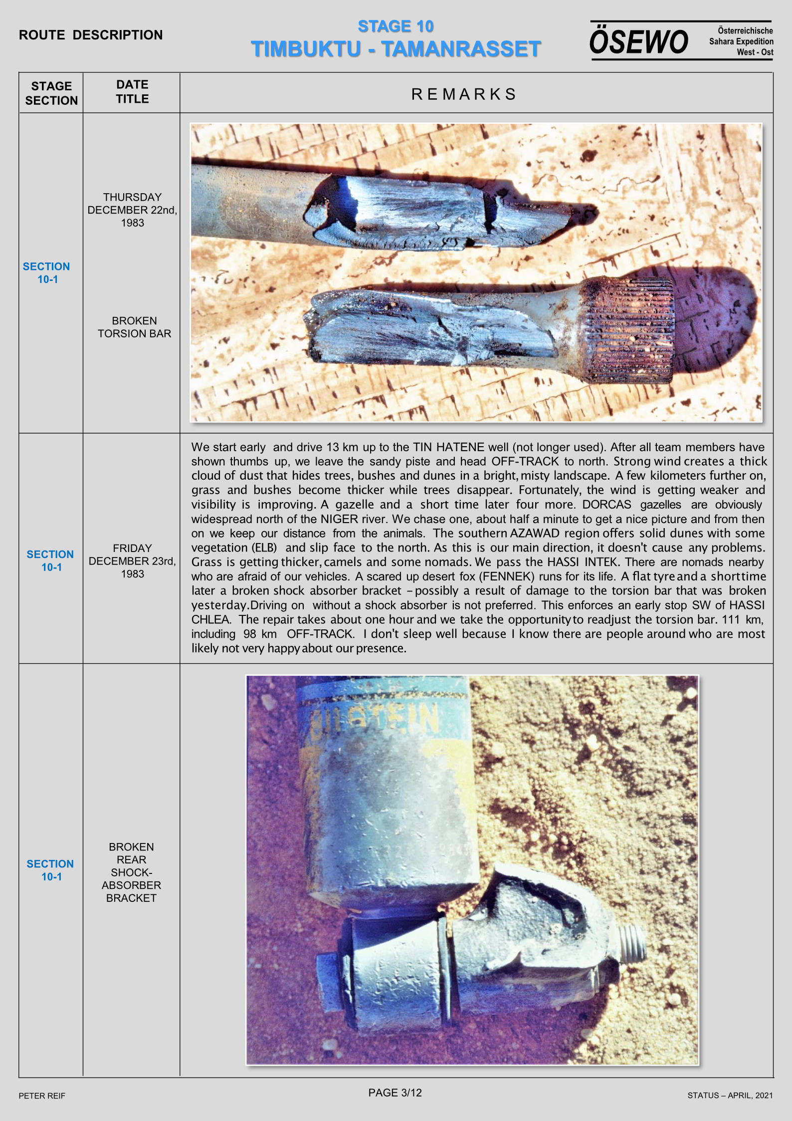
Furthermore, some spare parts should be taken along. It is difficult to decide which parts to take. We had spare fan belts for both cars, break/clutch fluid and extra oil. For the Toyota, I decided to take spare shock absorbers, because on a previous trip to Mali (November 1997), we had ruined both rear shock absorbers.

Travel documents/car papers: For a Ghana-registered car, in addition to a Ghana driving licence and car insurance, the following documents are required:

International driving licence;

International Certificate for Motor Vehicles (Carte grise);

ECOWAS insurance, from the Ghana insurance company possible for a period as short as 14 days (Cedis 25,000 = 10 US$);

Multiple entry visa for Burkina Faso, easily obtained in Accra (CFA 15,000 = 30 US$); and

Visa for Mali, also easy to get in Accra (US$ 40).

How to sleep?: We had fitted a roof rack on the car over which a mosquito net could be arranged. The second couple had arranged and packed the car in such a way that they could easily sleep inside.

Enough fuel?: Both cars were running on diesel. The Toyota had, in addition to its main 95-litres tank, a second 55 litres tank. We would carry along two extra jerricans, which we would fill up in Segou. After Segou it is not sure if fuel will be available. The Nissan had a regular 90-litres tank and an additional 110 litres in jerricans.

Driving through sand: We had a locally-made set of sand ladders and carried a shovel along. Since one of the secrets is to lower the tyre pressure when driving through deep and soft sand, we also had purchased a small compressor to re-inflate the tyres. Lastly, we carried a long towing rope to be able to pull a car out off a sandy patch.

Navigation: To drive from Accra to Segou the only tool really needed is a good road map. We took the following maps along:

Ghana: the Shell map, available from book shops in Ghana,

Burkina Faso: the IGN (country) map 1:1,000,000,

Mali: the IGN country map 1:2,000,000, and

West Africa: the Michelin North West Africa map (1:4,000,000).

Passing through larger cities such as Kumasi, Ouagadougou and Bobo Dioulasso could be difficult, but the West Africa Rough Guide and the Lonely Planet Travel Survival Kit both provide good city plans.

The main problem is to get from Niono to Timbuctu and back. The IGN 1:200,000 maps are extremely useful, but outdated. Furthermore, tracks in the desert do change from year to year and from season to season, so that one can never completely rely on these maps. However, reaching Timbuctu without hiring a tourist guide (one of our objectives) requires a complete set of these IGN 1:200,000 maps.

Global Positioning System: The most useful piece of navigation equipment is a GPS. It is based on 24 satellites orbiting the earth at a very high altitude. A GPS serves as an extremely powerful compass.

In preparation for the trip, we had entered the complete route (the best track seen on the 1:200,000 maps) from Nampala – via Lere, Tonka and Goundam – to Timbuctu in the GPS. Approximately every 5 to 20 km a waypoint had been selected and the co-ordinates (longitude and latitude) entered in routes.

During the trip the GPS was mounted on the dashboard of the car and it permanently determined the location where we were on the map.

Water and Food: When travelling out into the bush plenty of water and enough food should be carried. The temperature during the day is extremely high (high forties) and a human being will at least need 6 litres of water per day (if not more). Furthermore, water is required for washing and cooking. We had a capacity of 120 litres water (60 litres in each car). In addition, we would buy (if available) bottled mineral water.

The food supply consisted of rice, spaghetti, soup, baked beans, corned beef, tinned fish and sausages, cream crackers, etc. Furthermore, coffee, sugar, milk powder, and tea are essential.

Day 1: Saturday April 25, 1998; Accra – Bolgatanga; 850 km

Over tarred roads in reasonable condition, the first day brought us to Bolgatanga 850 km from Accra, where we arrived at 5:45 pm, almost 12 hours after leaving Accra. Accommodation in Bolgatanga was at the guesthouse of the Presbyterian Primary Health Care Centre.

Coffee break, lunch break, as well as an afternoon rest stop, were all taken along the road, searching for a quiet place and some shade. In fact, we would take off as early as possible and also have breakfast at the roadside.

Day 2: Sunday April 26; Bolgatanga – Bobo Dioulasso, 560 km

On the second day we departed at 6:00 am and travelled, again over tarred roads in good condition, from Bolgatanga in Ghana, via Ouagadougou, to Bobo Dioulasso in Burkina Faso; a total of 560 km which we covered in 10.5 hrs. Approximately 45 km after Bolgatanga (on an excellent road), the Ghana departure formalities had to be carried out in the border village of Paga, which included:

Health control. It is totally unclear and ridiculous why – when leaving Ghana – the yellow fever vaccination has to be valid. The health people also had to write all the passports in a large book.

Passport control. For each passport a disembarkation card had to be filled out, after which the Chief Officer stamped the passports.

Registration of the vehicle. The international driving licence and the ECOWAS insurance had to be registered. You would expect them to look at the Ghana national driving licence and national insurance. Anyhow, it did not take much time.

Custom inspection of the vehicle. An officer had to inspect the contents of the car.

Immediately after leaving the Ghana border, the Burkina Faso passport control (visa control), as well as the control of the car papers (carte grise, international driving licence and ECOWAS insurance) took place. A fee of CFA 1000 per vehicle was charged for “stationnement”.

The whole procedure took less than 45 minutes. Both Ghana and Burkina authorities were correct and friendly, except for the usual attempt to extort a little bribe (called dash in Ghana and cadeau in Burkina) when the custom officer was inspecting the vehicle.

Approximately 18 km further, in the village of Po, the last official formality to enter Burkina Faso took place, i.e. buying a Laisser-Passer (CFA 5000). This important document allows the import and export of the car free of charge for the period of the validity of the Laisser-Passer. It is similar to the Carnet the Passage, which travellers coming from Europe will usually carry.

Along the stretch Po-Ouagadougou, a lot of photogenic villages with huts and (hopefully fully filled) grain stores can be seen. Since it was the end of the dry season, huts were freshly thatched and some walls were newly decorated with geometric patterns. In general, the vegetation is becoming less and less. This is sorghum/millet country, but crops had been harvested some months earlier. Many Eucalyptus and Neem trees are growing along the road. Furthermore, we saw several water pumps and water ponds.

Breakfast was taken at 9:00 am somewhere along the excellent tarred road between Po and Ouagadougou. Coffee later in the patisserie La Bonbonniere in Ouagadougou. The patisseries in Ouaga are highly recommended. We slept in Bobo Diaoulasso at the compound of Casa Africa on the roof rack of the car.

Day 3: Monday April 27; Bobo Dioulasso – Niono; 420 km

That day we wanted to reach Segou. We departed from Bobo at 7:15 am and the city plan in the Lonely Planet Guide helped us to leave the city. Via Bama (big irrigation scheme) and

Dande to Fo (93 km from Bobo), where you surrender the Laisser-Passer to the authorities. This office is rather easy to miss, since there is no clear indication where to stop. After Fo you continue for another 25 km to Faramana, where the rest of the Burkina Faso exit formalities have to be completed:

  • passport control
  • car papers (carte grise, international driving licence).
  • Again the Burkina Faso authorities are very friendly and leaving Burkina Faso does not pose any problem. A few kimetres further in Sona (not indicated on the map) the entry formalities for Mali have to be completed. In the first office:
  • passports are examined, but -this time not entered into a big book- just stamped
  • international driving licences entered in a big book.

In the second office:

  • a custom officer enters the details of the car papers in the now well-known big book
  • prepares a Bulletin the Control (a piece of paper given to you, which includes destination and contents of car; i.e. personal effects).

Finally, just before Kouri (a number of kilometres after Sona), the Laisser-Passer for Mali (CFA 2000) has to be purchased.

During a previous visit to Mali they tried to cheat us by having us pay an additional exit fee, since we departed on a holiday (Sunday); this time we were treated correctly, if slowly. Via Kouri, Koutiala and Bla we travelled to Segou over usually good roads (under construction here and there; potholes before crossing the Bani river). We arrived in Segou at 2:00 pm; seven hours after departure from Bobo Dioulasso (310 km behind us).

In Segou we did some shopping (a.o. boxes of mineral water). We filled all water jerrycans. We filled the cars up with fuel and -this time- also the two spare jerrycans. Two hundred litres would bring us to Timbuctu (700 km away) and -if needed- back to the tarred road in Douentza, provided the fuel consumption would not exceed 5 km to a litre.

Segou is the second largest city in Mali (after Bamako) and we paid a visit to the waterfront, where most of Segous activities are taking place. Pirogues and pinasses are loaded for trips up and down the Niger. It seems that such boats are never full; people of all ages, bicycles, motor bikes, goats, large bags with all kind of stuff and more people, bicycles, motor bikes and goats are loaded again and again. Finally, when you start thinking it may sink, it takes off. In the river, people are doing the laundry, bathing and relieving themselves. Not a place to swim, it must be a serious health risk. On the banks of the Niger a lively trade is going on and women in colourful clothes are moving around.

Since it was still early we decided not to stay in Segou but push on to Niono; approximately 110 km north of Segou. This road, again tarred and in good condition, follows the Niger up to Markala, where we crossed the river on a dam. The landscape is not changing much and is mainly rain-fed agriculture, sorghum and millet, with the occasional tree. After Markala the road gets worse and we drove through a large irrigation scheme, where sugarcane and rice are grown.

In Niono, where we arrived at 5:20 pm we checked out the Campement (the local government establishment in town) and decided to spend the night in the air-conditioned rooms (CFA 15,000 – 17,500). We enjoyed the cold beer and soft drinks as well as a dinner of fish, beef or chicken with either rice or chips. There were quite a lot of mosquitoes in and around the Campement, which bothered us a little, but all in all an enjoyable stay.

In Niono, there are three fuel stations, of which one had a good supply. Of course we filled up our fuel tanks to the brim.

Day 4: Tuesday April 28; Niono – Sanbani; 300 km

To Nampala (154 km from Niono)
We left Niono at 6:10 am for the first leg to Timbuctu. People had mentioned that it would be possible in one (long) day, but only if you knew the road; something we certainly did not. We would see how far we would reach and were prepared to camp out in the desert.

Immediately out of Niono the dirt road begins. The road runs north along a main irrigation channel and at both sides of the road rice and some maize is grown. The road is firm, but rather dusty. We did not use the A/C of the car, because it was rather cool. Later on we decided not to use the A/C to save fuel, because fuel consumption is considerably higher when running the A/C. Along the road were many small villages, which reminded us of the Nile delta in Egypt.

After 33 km the road becomes poor and we drove along a minor irrigation channel. The surface of the road is sometimes very loose; very fine dust completely covers the back and the sides of the cars when driving through. Approximately 81 km after Niono (two hours drive), the irrigation channel ends and the landscape becomes drier and drier; very bushy indeed.

We were heading almost east and getting closer to Nampala. The road has deep potholes and gullies and the going is sometimes very slow. We often had to leave the main track, searching for a better one. During the rainy season this road must be very difficult to negotiate; cars and lorries will seriously get stuck during that period. The track then turned more and more north and the GPS indicated that we were heading straight towards Nampala. The last 30 km was on a firm dirt road (sometimes a bit sandy) with a lot of corrugation; keeping up speed (50-60 km/hr) is the best medicine for corrugation, but watch out for gullies and potholes.

Five hours after leaving Niono, we reached Nampala. The average speed had been approximately 30 km/hr (including a short breakfast stop). We had seen a lot of villages, people and taxis on the first 60 km, but the last 100 km were completely desolated; no villages, no cars, no human beings, only a few goats.

Nampala: In Nampala (not much more than a few huts) there was fuel (guidebooks indicate there usually is not) and they filled up our tanks from a drum .We discussed the road to Lere and were told that it was no problem at all. They pointed out which direction to go (was there a track?).

To Lere (95 km from Nampala)
Based on the track indicated on the IGN 1:200,000 (Nampala) map, the co-ordinates of 16 waypoints between Nampala and Lere had been entered in the GPS.

The first 10 km were somewhat sandy, but further on were long stretches of firm surface, where we could drive 80 km/hr. We did not meet any cars, only very few people (inhabitants of the few hut villages) and goats (who are able to survive in almost any environment). The landscape is very dry and bushy; vegetation very sparse.

On this stretch we learnt to appreciate the GPS. It gave us peace of mind; we never worried that we were on the wrong track. The compass-page of the GPS always indicated the direction to go, as well as the distance to the next waypoint. When we reached a junction (and there are many) we usually let the GPS decide which track to take. Once we ended up on a secondary track, which ended in the middle of nowhere, but the compass-page of the GPS brought us again straight to the next waypoint.

We also learnt that the majority of tracks, indicated on the 1:200,000 maps, do not exist. On the other hand, there are many other tracks, often just a footpath.

At 2:20 pm (8 hours after leaving Niono; average speed 40 km/hr) we reached Lere. The temperature was 43oC and relative humidity approximately 5%.

Lere is a small village with a few very small shops and a market place. It was a surprise to hear that there was fuel, but we had just filled up in Nampala. We had to stop at the police to register the car and at customs, who recorded the Laisser-Passer.

To Niafounke
According to guidebooks the route from Lere to Niafounke is difficult and you may easily get lost. A guide is, therefore, recommended. We decided to try it by ourselves. The co-ordinates of more than 30 waypoints of the route indicated on the 1:200,00 map (Sa) had been entered (in Accra) in the GPS. With the experience of the previous day, when we drove from waypoint to waypoint, it could not be too difficult. The distance (Lere-Niafounke) indicated on the 1:2,000,000 Mali map was 214 km. After asking a few people in Lere the direction we took off to Niafounke.

Immediately after leaving the village, the track headed into a total different direction (the GPS indicated we should go north, while we were clearly heading south).

Soon it appeared that we were following a track along the south shore of Lake Tanda (it had no water and did not look like a lake) on the 1:200,000 map (Sa). Via the very small village of Tirna, we drove to Diartou. Just after Tirna, we knew that we were on the correct track, because a signpost indicated the direction to Niafounke.

The track continued South of the next lake (Lake Kabara). We camped approximately 5 km east of the village of Sanbani. All in all, we had only driven 70 km since Lere (including all detours); it was 5:00 pm and still hot (high thirties).

It turned out to be one of the best nights; nobody bothered us, the temperature dropped and early in the morning it was only 23.5oC. We needed our sleeping bags.

Day 5: Wednesday April 29: Sanbani – Timbuktu; 250 km

To Niafounke (65 km from Sanbani)
We had an excellent night and left after breakfast our one-million star hotel. We kept following the main track, which headed east straight into the direction of Niafounke. We drove along the northern shores of a number of small lakes. Some water was still present, but in the rainy season these must be large lakes or gullies. After Dabi, the road (over a dyke) is going straight to Niafounke, which is situated on the Niger. We arrived in Niafounke at 09:00 am, approximately 2 hours after departure from our desert camp. The distance was only 65 km, but we spent some time along the lake and had a second breakfast along the road.

In conclusion, the track Lere to Niafounke is not bad. However, it is rather easy to loose your way. Do not follow the track indicated on the 1:200,000 map (Sa); it either does not exist or is not used this time of the year. It is also clear that there is no fixed track to Niafounke, it varies depending on the season. In the rainy season the track probably follows a more northerly course, while at the end of the dry season it follows the shores of the lakes. The present route is an advantage in terms of distance; the route indicated on the IGN Mali 1:2,000,000 map is 214 km, while this one is only 120 km.

Niafounke
Niafounke is a pleasant town located on the banks of the Niger. It has a Campement. Single rooms are available for 6,500 CFA and doubles for 10,000 CFA; clean rooms with fan (no A/C), toilet, shower and running water. In the Campement we had cold drinks, bought small flat breads and talked to the captain of the Niafounke ferry. He was slightly drunk, but argued that the best way to Mopti was crossing the Niger with him; another two hours would then bring us to Mopti. People claimed there was fuel in Niafounke. We discussed the road to Tonka and it appeared that there was a short direct route to Tonka (35 km) and a much longer one.

camp

To Tonka (42 km from Niafounke)
We decided to take the shorter one and departed from Niafounke at 10:00 am. The track runs initially along the Niger. Just before the irrigation scheme we turned left into a more northerly direction (this junction is not easily recognised). Again the track out of Niafounke can not be found on the IGN 1:200,000 maps (Niafounke and Tombouctu-Ouest). However, in the small village of Temba (31 km after Niafounke) we joined the track on the 1:200,000 map (Timbouctou-Ouest) and reached Tonka at approximately 11:10 am (1 hour after departure from Niafounke; the distance being 42 km). The road was excellent, certainly the last stretch after Temba.

Tonka
Upon entering Tonka, we stopped at a police post to inquire about the road to Goundam. The police officer must have been in a bad mood, because he wanted to give us a ticket for parking the car in the middle of the road. Middle of the road? We had to argue a long time. The nasty officer also told that it was impossible to travel alone to Timbuctu; it was too hot, dangerous and forbidden to travel without guide. Finally, a more senior officer came and asked whether our papers were in order (which they were) and told us we could leave.

Temperature

  • 11:00 am 41oC
  • 2:00 pm 47.3oC
  • RH: < 5%

We drove through the village of Tonka, which is also located on the banks of the Niger. We were lucky to find somebody who could indicate the direction to Goundam; the temperature had reached approximately 47oC.

To Goundam (35 km from Tonka)
A track leading north brought us out of the village and we followed a different track to Goundam from the one indicated on the 1:200,000 (Tombouctou-Ouest) map. The GPS indicated that we were heading towards Goundam.

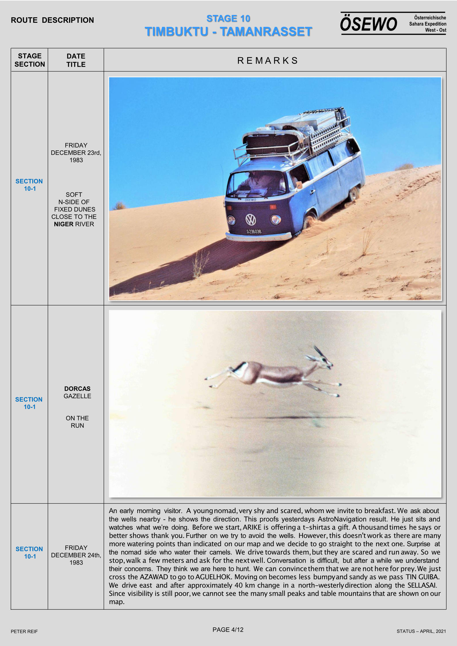
The real sandy part of the Timbuctu trip started soon after Tonka. We engaged the freewheeling hubs and used almost permanently the 4-wheel drive and occasionally low gear. At times the sand was very deep and only keeping up speed would avoid getting stuck. High sand dunes had to be negotiated and only speed would get you to the top. Occasionally we had to reverse and give it another try or take a different track. There are many parallel tracks and permanently choices have to be made which track to take. Sometimes you are right, sometimes wrong, resulting in not being able to get uphill or getting stuck. This was really the first part of the trip were a 4-wheel drive vehicle was required.

The track follows Lake Fathi and sometimes we were driving on firm underground, which is the bottom of the dried-up lake. The lake, at this time of the year, has little water, but it must be huge during the rainy season. Approximately 7 km before Goundam, we joined the track on the 1:200,000 map (Timbouctou-Ouest) and were again driving from waypoint to waypoint.

We took off from Tonka at 11:30 am and reached Goundam at 12:30 pm. So far, it was one of the most interesting parts of the trip. The desert environment really makes an impression. The landscape is interesting with often Lake Fathi in the background. It was hot (47oC) and the driving tough. Finding a tree for the coffee break not possible.

Goundam
Goundam is an interesting village, but we did not see a soul. You must be crazy to venture outside at midday. We stopped at Place de lIndependence, were an old sign indicated that the distance to Timbuctu was still 77 km. Somebody told us there were two routes to Timbuctu; one being much sandier than the other. We never knew which one we took, but sandy it was!

Out of Goundam there are two other tracks. One leads to Dire, which is on the banks of the Niger. According to information from travellers there is a track from Dire to Timbuctu. The second track out of Goundam goes to Lake Faguibine, approximately 70 km to the north. It is the largest natural lake in West Africa and one of the best places to watch migratory birds. According to guidebooks the track is difficult to find and a Tuareg guide should be hired. The book also indicates that this track definitely requires a 4-wheel drive (low gear). Initially we intended to go to the lake, but decided against it because of time constraints.
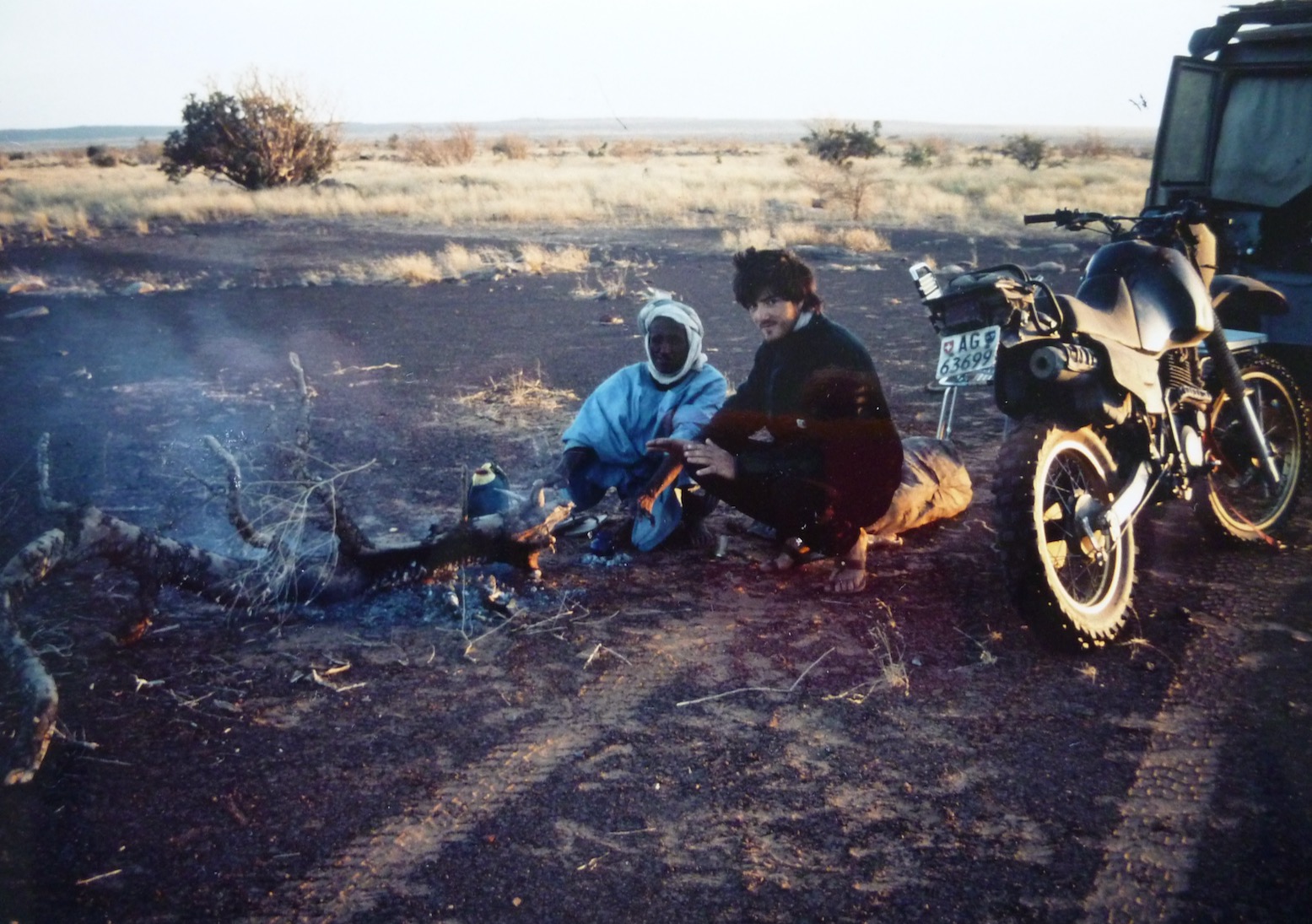
To Timbuctu
At 12:30 am we departed from Goundam for the last 90 km to Timbuctu; the temperature was around 46oC. All the way we used the 4-wheel drive and lowered the pressure of the tyres (to approximately 20 PSI). It was sandy and hilly all the way and there were a large number of parallel tracks. We did not really get stuck, since we kept up speed. The route had been entered in the GPS and we followed exactly the same course

The last 4 km from the airport to the centre of Timbuctu is on an excellent tarmac road; the 8 km before has a very firm underground, but before that there is approximately 10-15 km of very deep sand and high sand dunes. With our experience, we had no problems negotiating these and at 3:30 pm we arrived in Timbuctu!

Since Segou (700 km from Timbuctu), we had not used the A/C and really got the taste of the desert; dusty at times, dry (RH 5%), hot during the day (close to 50oC), and cool in the morning (22oC). We all felt, however, that a dry and hot climate is preferred over the Accra climate (less hot, but very humid).

We drove straight to the best hotel in Timbuctu (got stuck in front of the hotel, which is situated on a hill) and had very cold beer and soft drinks. This may have been the best beer we ever had.

Timbuctu, founded about 1100 AD as a seasonal camp by Tuareg nomads, is located on the edge of the Sahara about 13 km north of the Niger river. It was historically important as a post on the Trans-Saharan caravan route. In the 14th century it became a focal point of the gold and salt trade. Merchants from various places, including Moroccan cities, gathered to buy gold and slaves in exchange for Saharan salt and North African cloth and horses.

Regarding accommodation two options are available, a hotel or out in the desert. The best hotel in town is Hotel Azalai, which charges 27,500 CFA for a double. One of the guidebooks indicated that it would be possible to sleep on the roof of the Annex of Hotel Bouctou. They asked 18,000 CFA for a double room, but if we wished we could sleep on the roof. We negotiated and brought the price for the roof down to 4500 CFA per person. We decided to sleep in the open, someway out of Timbuctu. We drove 15-20 km back in the direction of Goundam and found a quiet place where we were not bothered by anybody. In the far distance we could see the city of Timbuctu.

We set up camp and then opened the bottle of white wine, kept to celebrate our arrival in Timbuctu. The temperature of the wine was close to 35 C, but we did enjoy it.

Day 6: Thursday April 30; Timbuctu – Bambara Maounde; 120 km.

We got up early and to celebrate our Queens birthday and National Day inflated red, white, blue and orange balloons, which we attached to the cars aerial. After breakfast we packed the cars and drove again to Timbuctu to visit the town.

The first stop was at the police station, where you have to register (passports and Laisser-Passer), which costs 1000 CFA per passport. The officers are extremely friendly and happy to see some tourists. Very few tourists visit Timbuctu this time of year. The majority arrives by plane or by boat on the Niger during the cooler months.

Registration with police

According to guidebooks you have to register with the police in the following places:

Timbuctu (which we did), Mopti (which we did not), Bandiagara (which we did not either).

Concerning registration, in case you would not do so, it may get you into trouble later. We got our passports stamped, so that we could actually prove back home that we had been in Timbuctu.

We wandered through the narrow alleys of Timbuctu; all houses built of grey-brownish mudbricks. We passed many Koran schools (madrasses). It was very hot (45oC).

The streets in Timbuctu are not tarred and sandy at times. As mentioned, we got stuck in front of the Azalai Hotel and again in front of the Shell petrol station The Shell station appeared to be out of order. However, fuel was available at another station in the centre of town, close to the market. From Segou to Timbuctu we had driven 706 km and used 113.6 litres of fuel; an average of 6.2 km to 1 litre.

We visited the museum (CFA 1000), bought mineral water and post cards before returning to Azalai Hotel. Postcards were written and brought to the postoffice to get them Timbuctu-stamped.

We inquired about the road to Mopti. The information we gathered was that we would have to cross the Niger, then almost straight on to Bambara Maounde and again straight on to Douentza, where the tarred road to Mopti starts. It would be no problem, but they all offered to be our guide, which we politely refused. This route could not be found on any of our maps. In fact the 1:200,000 maps (Tombouctou-Est and Bambara Maounde) did not show any track at all to Bambara Maounde and Douentza.

We departed from Timbuctu at 11:00 am; 15 km on the tarmac brought us to the Niger, where we could not spot any ferry. After driving a few hundred meters east we found the ferry.

Crossing the Niger River

The ferry did not look very reliable, but we had no choice if we wanted to get to the other side of the Niger river. The ferry was at least 20 metre away from the bank out in the water and the ferry ramp was rather steep; luckily the water was not too deep for the cars. The Toyota drove up the ramp, where the muffler of the exhaust hit the edge and got dented. The Nissan with a slightly longer wheelbase and less ground clearance, was not able to get on; the cross-beam of the chassis hitting the edge of the ferry. We off-loaded the jerrycans (100 litres fuel and 60 litres water) and boxes with food, trying to raise the Nissana bit. Without result. Then the ferry people tried to lift the ramp (with the car on it) using the winch, but the cable broke immediately. It took them some time to get it repaired, using our spanners. Also this whole exercise did not help to lift the car onto the ferry.


The ferry should be moved to a better location, but they claimed there was not enough petrol. Petrol was only sufficient to take the ferry to the other side of the river. After paying 5000 CFA to purchase petrol (we did not see them add fuel), the ferry was moved with help of a small outboard engine. This was fitted on a pirogue, which was attached alongside the ferry (The large diesel engine on the ferry must have stopped operating ages ago). It took considerable time and a lot of assistance from people using poles to get the ferry on its way. Very slowly the ferry moved to the new location. This time it worked; the ramp was slightly less steep and the clearance of the Nissan slightly more.

Finally we were on our way to the other side of the Niger. The cost was 8,500 CFA per vehicle and we paid them 10,000 CFA, but they were still not satisfied. Getting off the ferry was not difficult and finally we were on our way to Bambara Maounde at 12.55 am; approximately 1.45 hours after arrival at the ferry.

To Bambara Maounde (95 km from ferry)

We headed straight to Bambara Maounde. The track was again very sandy with a lot of sand dunes. We used permanently 4-wheel drive and tyre pressure was lowered. It did not matter where you are driving; the track is about 500 meter wide. Just select the best, least sandy and hilly track. After 38 km you find an old signpost in the middle of nowhere indicating straight to Bambara and left to Gourma Rharous. We had very few problems; got stuck only twice while going up a sand dune. We did not meet any cars; only two large camel caravans which were moving in the direction of Timbuctu.

The Toyota got its first flat tyre; a large (7 cm) thorn had pushed its way into the inner tube. It was a rather tiring job, changing a tyre midday at a temperature of approximately 45oC. Initially the jack sunk into the sandy underground. We had to get a piece of wood (from the car) before we could lift the car sufficiently high to be able to change the tyre.

We drove along Tin Bedaouin and on to Bambara Maounde, which is a very small village. A dozen kilometres after Bambara at 5:00.pm, we decided to stop for the night; our third night out in the desert. The trip from Timbuctu to the desert camp had taken 8 hours, while the distance was only 120 km; an average of 15 km/hr.

Meanwhile, a caravan of more than 25 camels walked by and the two camel drivers visited us shortly; they got water, bread, and aspirins. It was another sweaty night, unfortunately the temperature did not drop as much as previous nights, due to the fact that the wind had changed. At 9:00 pm it was still 38oC and in the morning at 5:00 am 28oC. The humidity was also considerably higher (approximately 50% in the morning

Day 7: Friday May 1; Bambara Maounde – Douentza (95 km)

At 7:00 am in the morning we left our campsite and headed for Douentza. The co-ordinates of Douentza had been entered in the GPS and all the way we were heading straight to our destination. Again there was no track on the 1:200,000 map (Bambara Maounde). We drove through the Reserve des Elephants; Route Touristic and saw rather fresh (less than 24 hrs old) elephant droppings and spotted an interesting ground bird; the Sudan Bustard.

Fuel Consumption

  • Niono – Timbuctu: 1:6.2
  • Timbuctu – Douentza: 1:5.6
  • Overall (Accra – Accra): 1:6.7

The first part of the 95 km to Douentza was still very sandy and hilly. The closer to Douentza, the firmer the underground and we were often driving over the dry lake beds. The vegetation becomes slightly denser, but it still remains a clear Sahelian landscape. In the distance an escarpment could be seen and we drove straight to the west tip of those hills. Right behind the hills is Douentza, were we arrived at 9.45 am.

In Douentza we reached the tarmac again (900 km after Segou and 200 km after Timbuctu) and felt that we had achieved our objective, i.e. visiting Timbuctu and returning to the inhabited world.