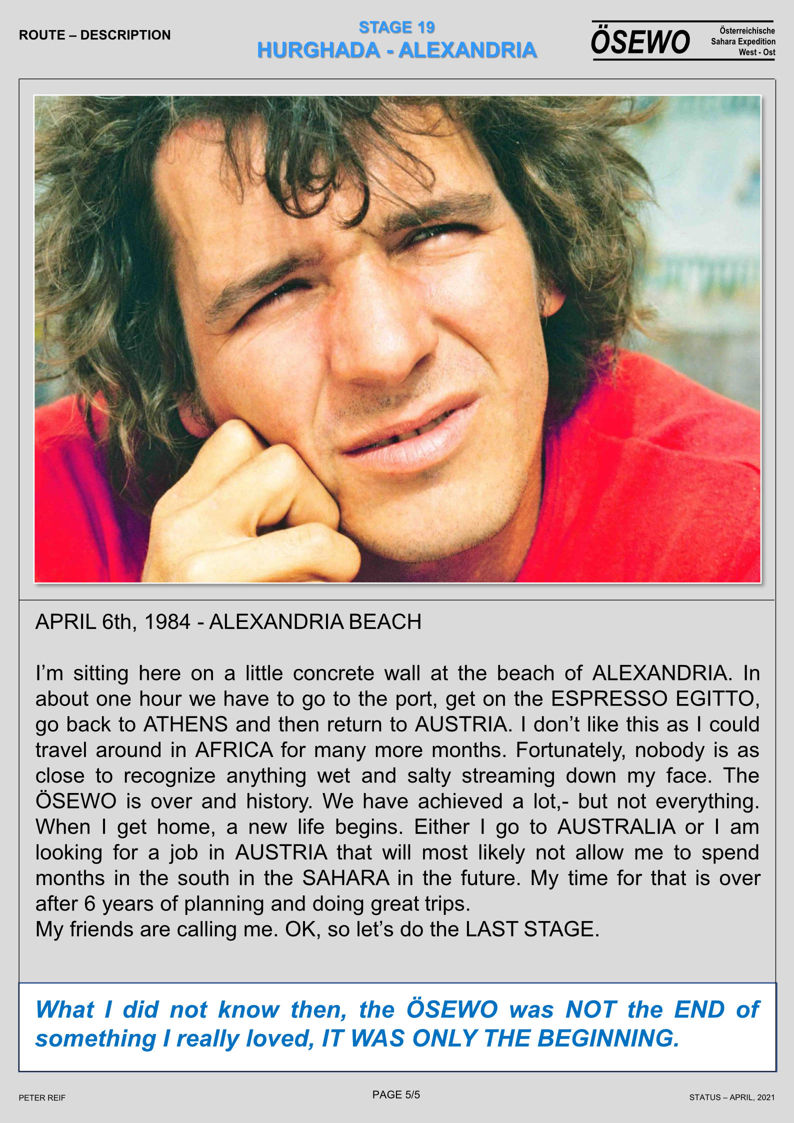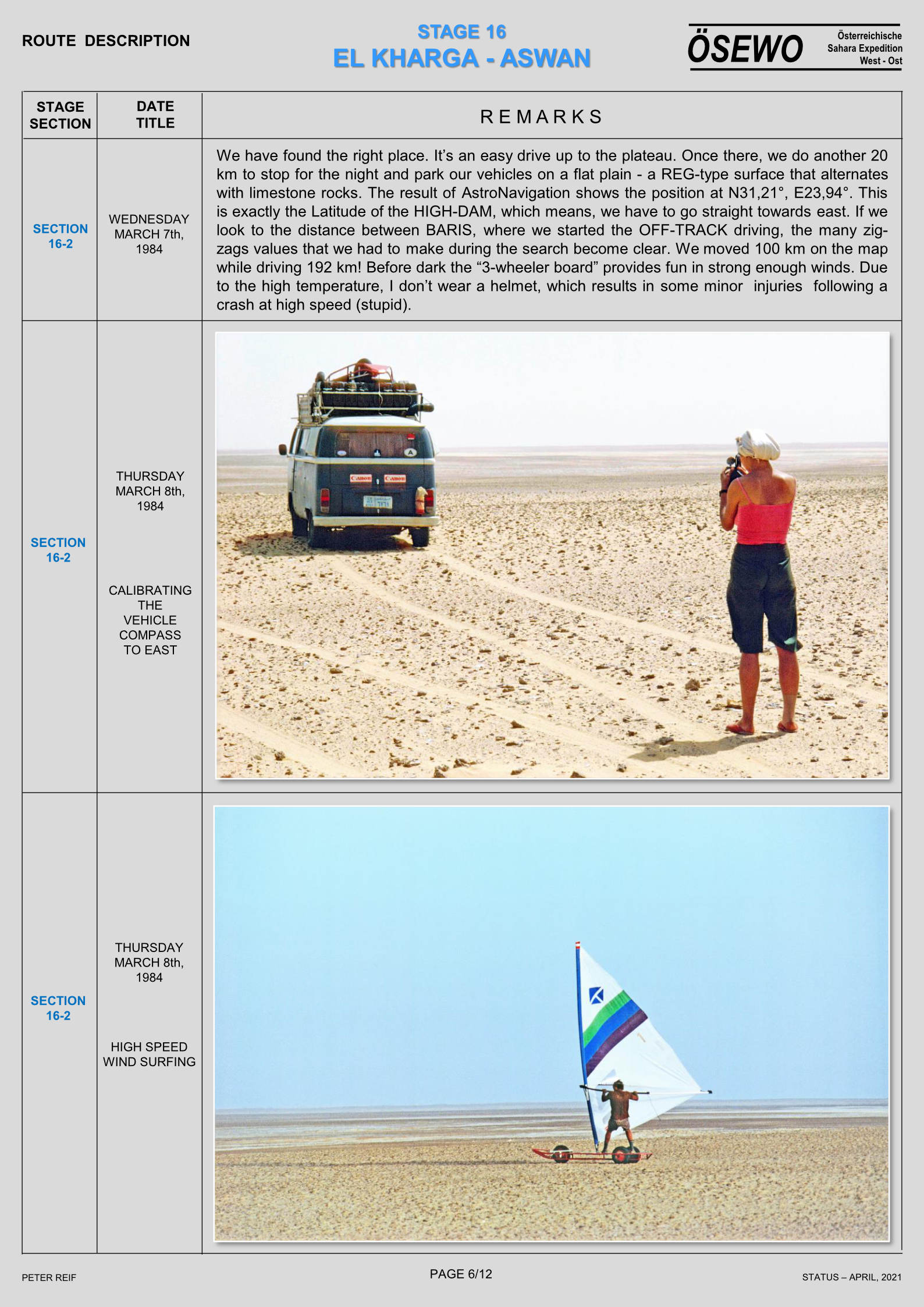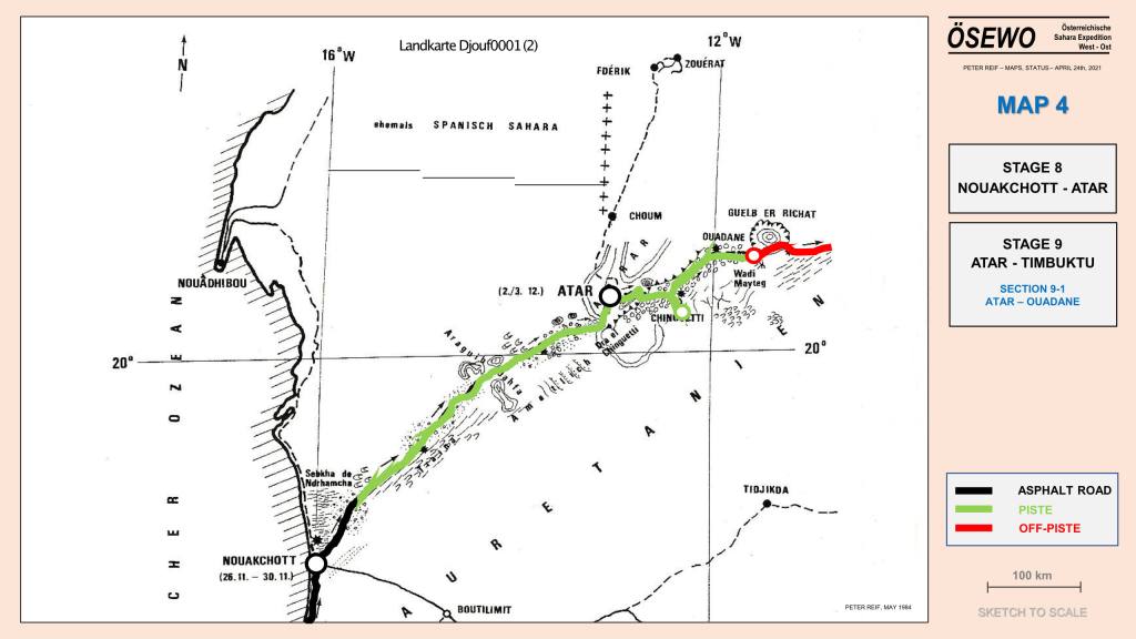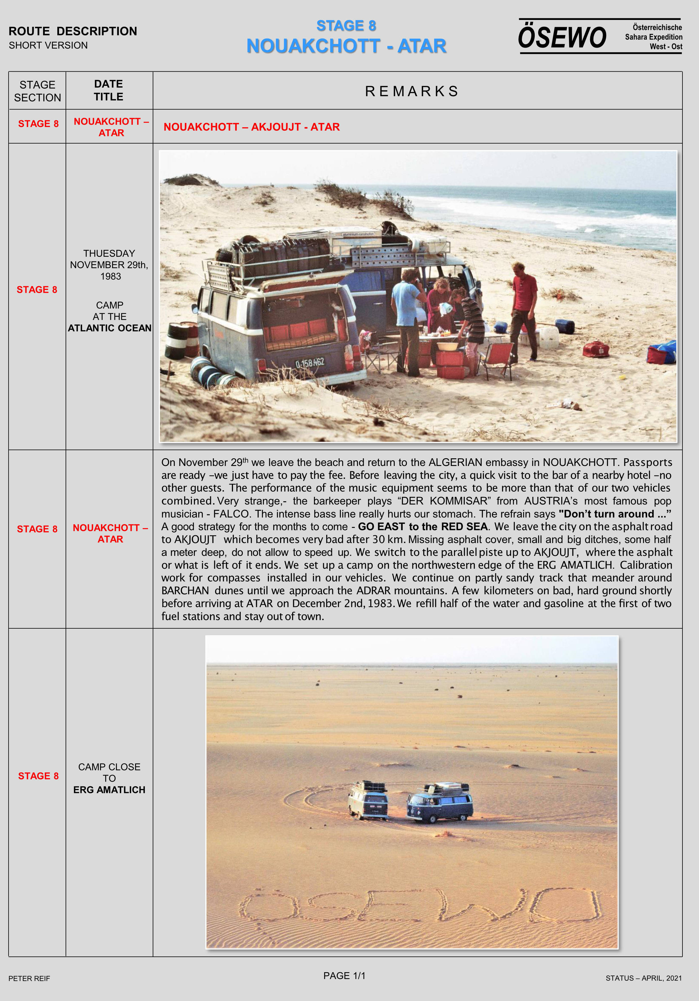


Buy Desert Travels 2021 on Amazon
Book Chapters:
Chapter 23: Battle of the Saharans

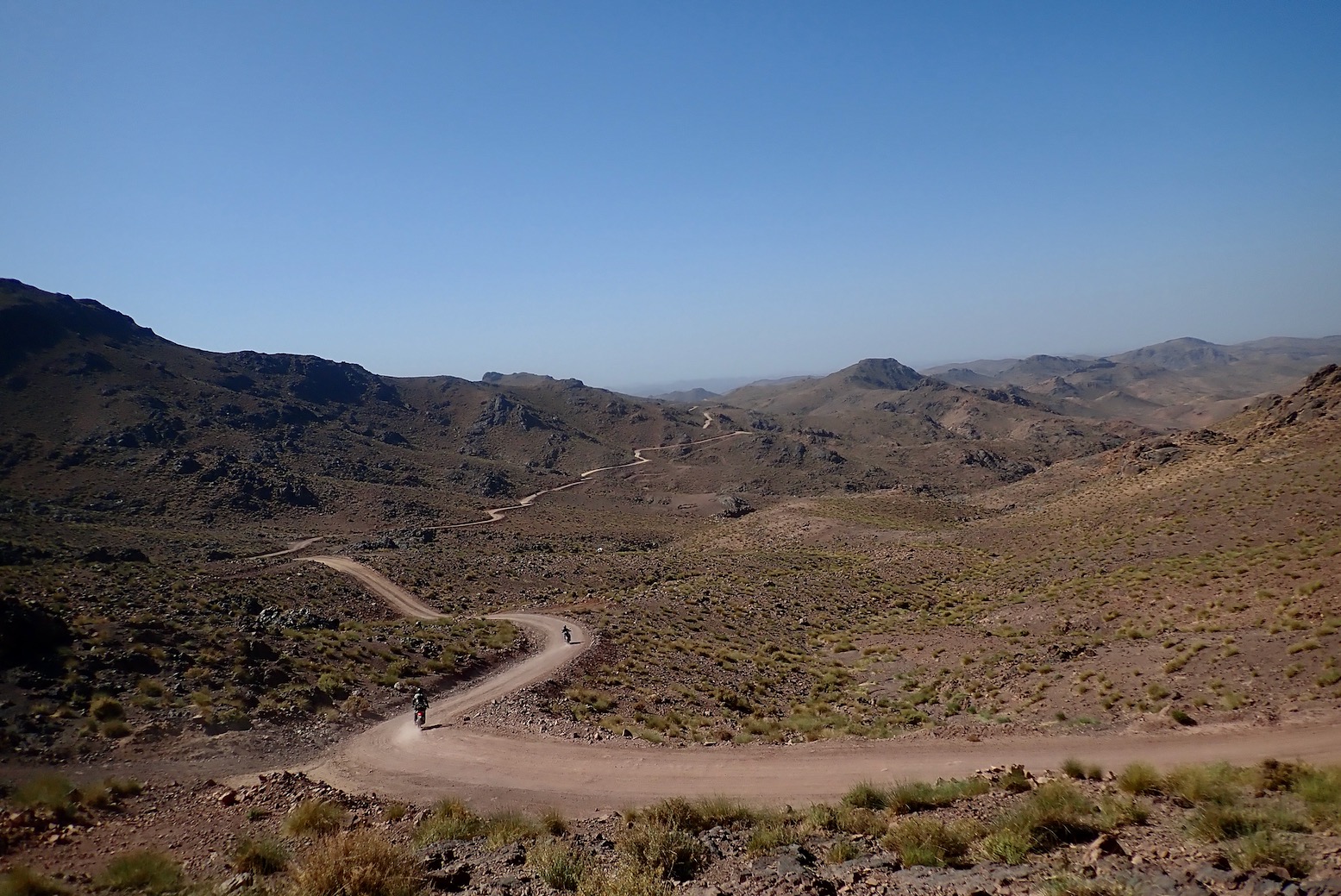
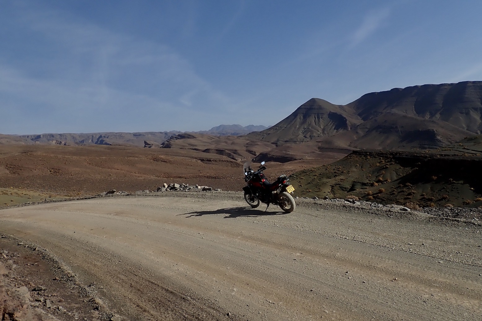
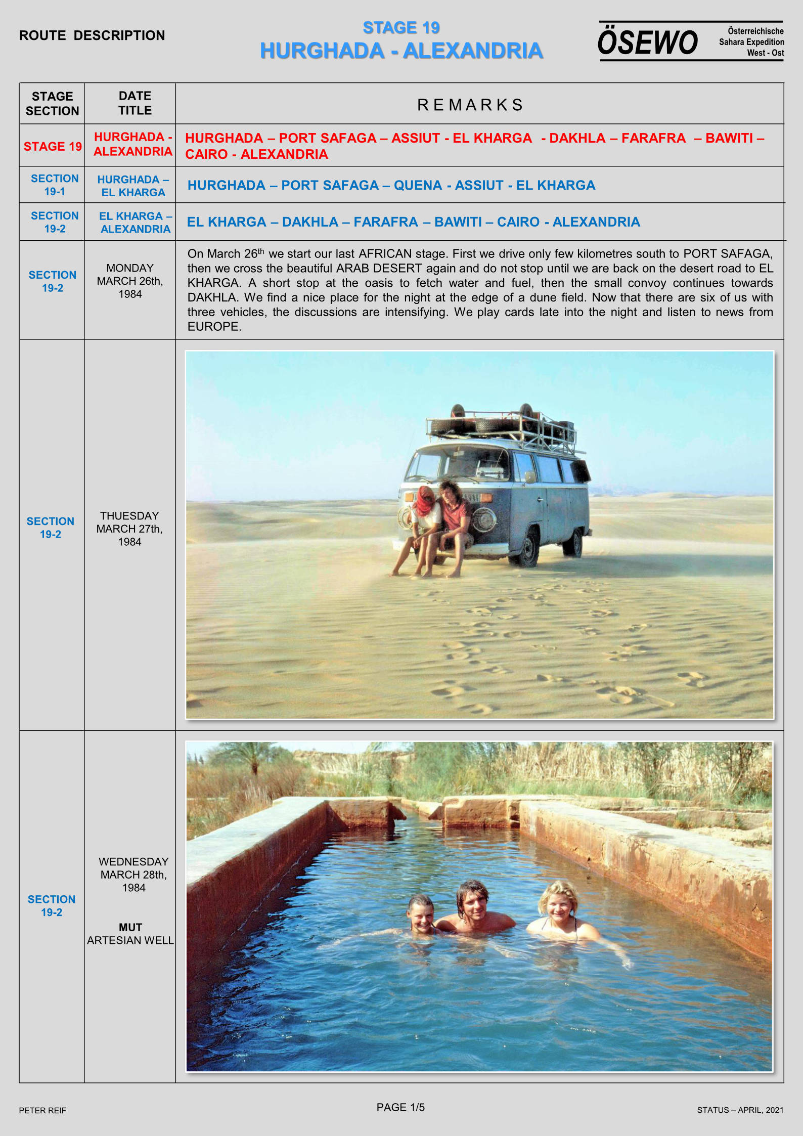
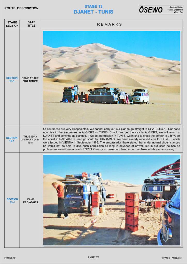
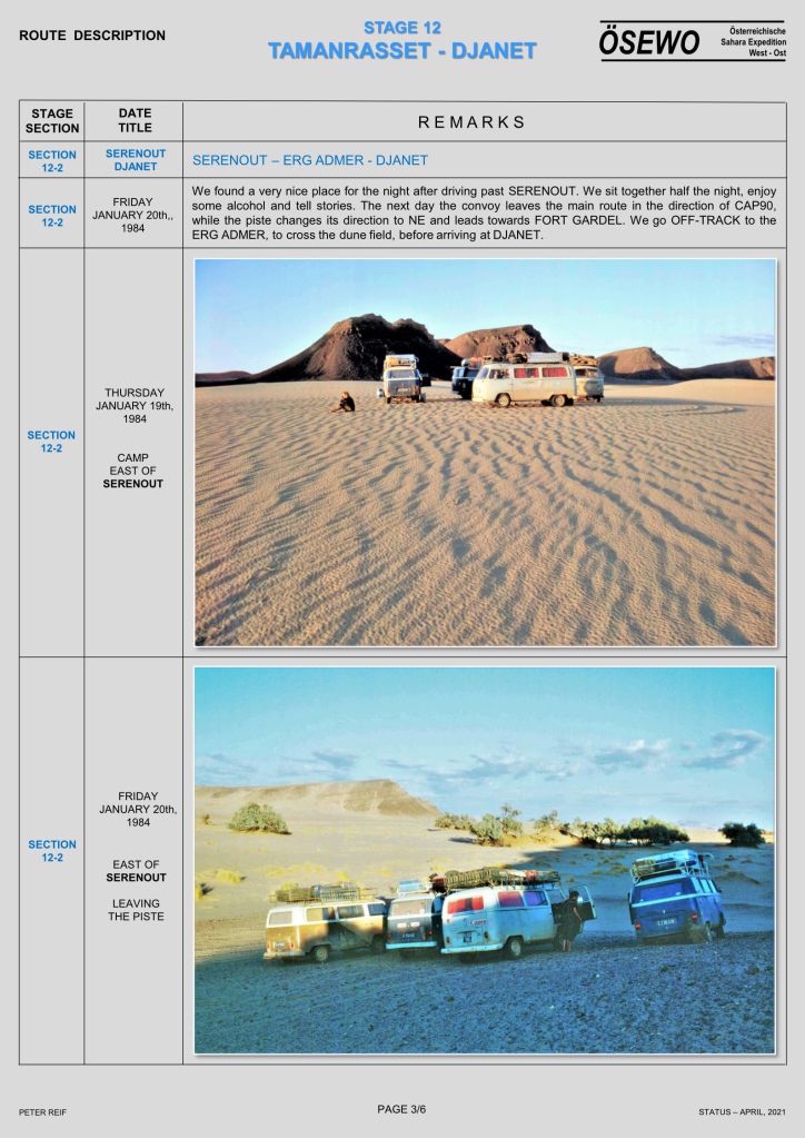
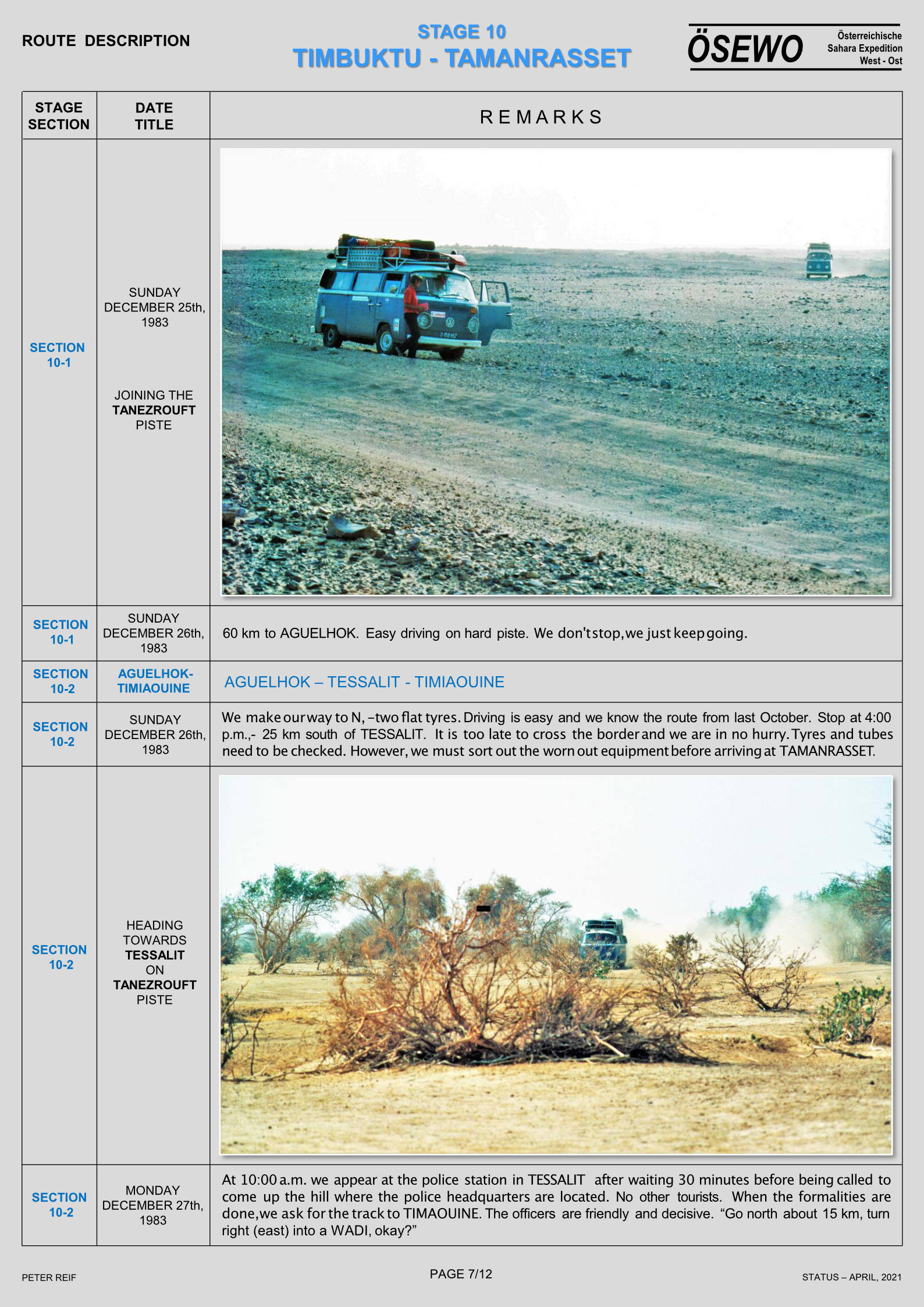
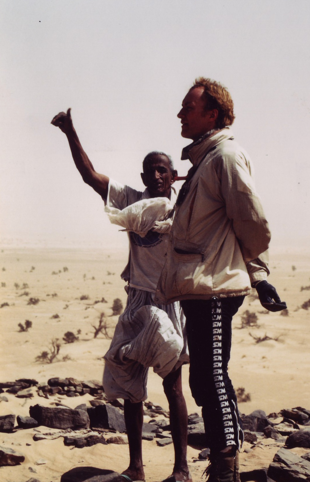
In Chapter 10 of Desert Travels the cantankerous 101 leading my first desert bike tour was stranded at the Tin Taradjeli pass (above). As so often happens in the Sahara, the next person to turn up happened to be a diesel mechanic.
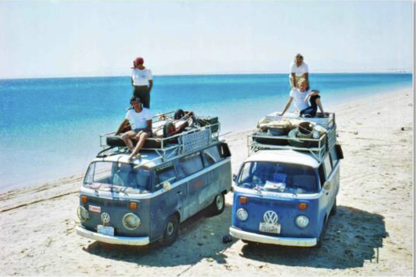
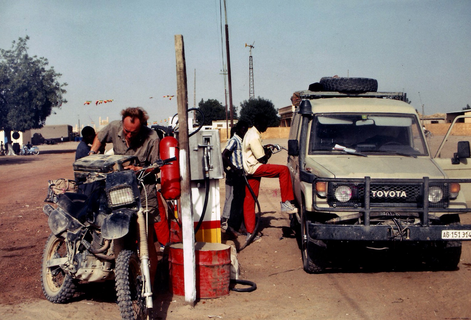
Steve soon got the 101 running and, long story short, the following year we decided to team up and do a big Sahara trip together: him in his Land Cruiser, me in an old Land Rover 109.
For both of us this was the desert trip we’d each been planning in our heads for years. When travelling together briefly with my bike tour the previous year, we’d quickly established a shared passion for exploring the Sahara and set about doing a big trip together, each with his own 4×4. Though I’d been keen to head for the Ténéré Desert in Niger, we’d settled on keeping off the tarmac where possible and decided to head down to the Guinea’s highland jungles and the Mauritanian Sahara.
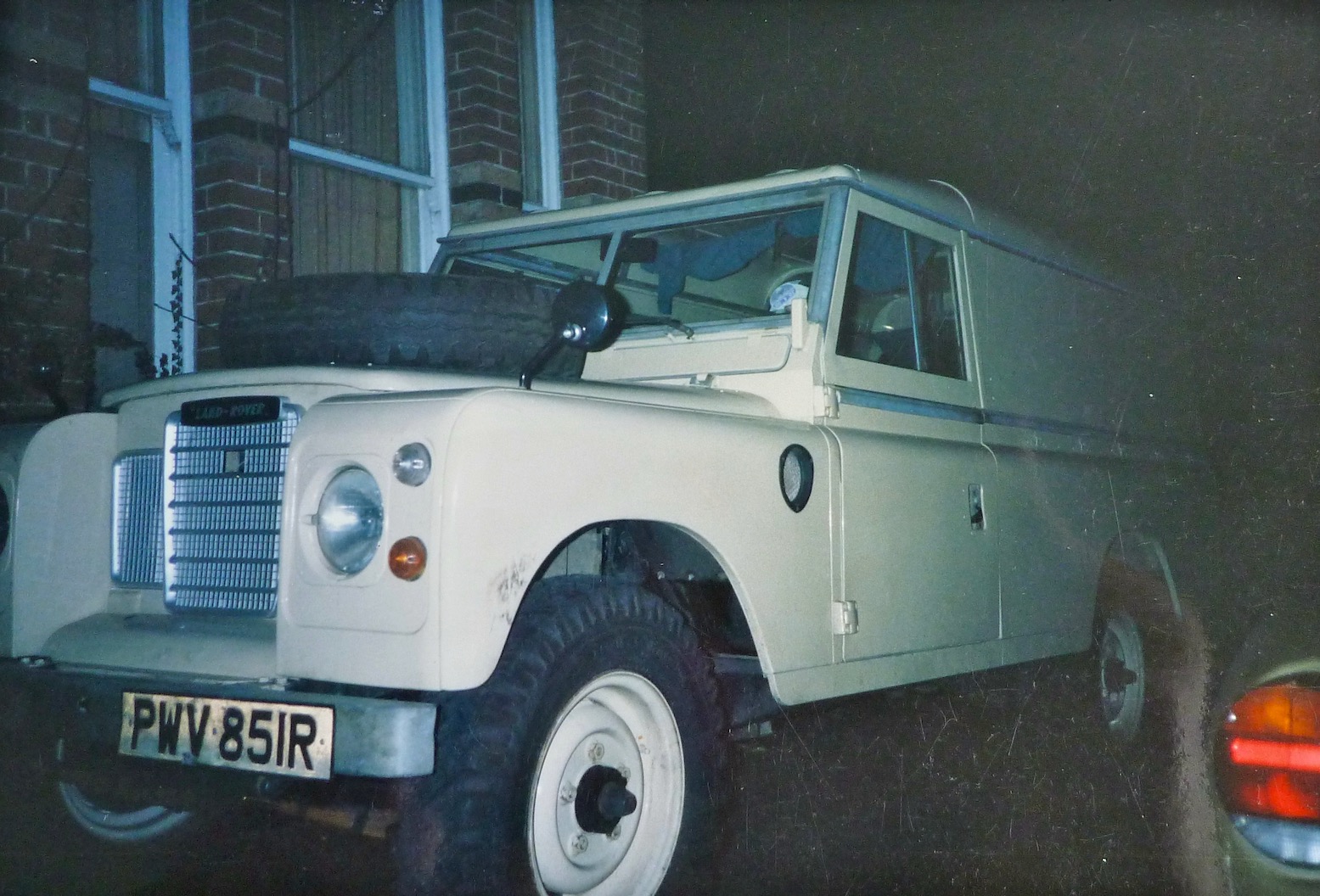
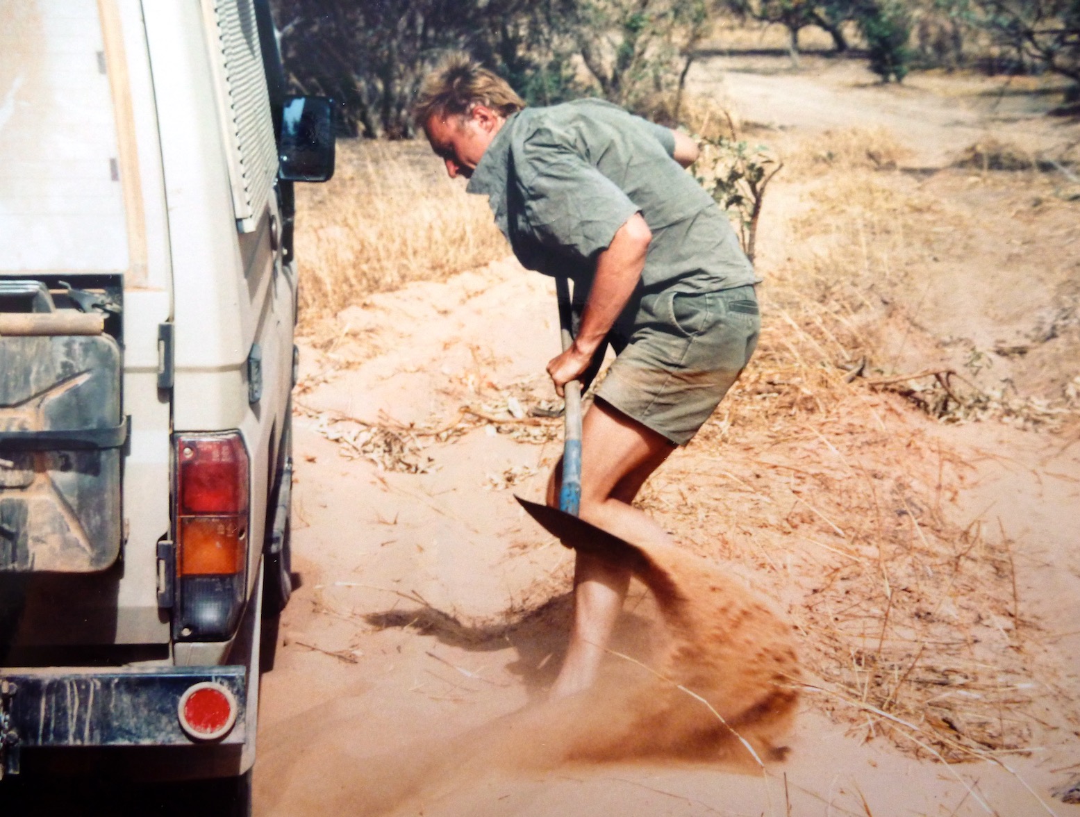
Nineteen ninety was not such a good year for me: post bike-tour debt, a bad crash leading to hospitalisation, followed by homelessness, a smaller bike crash which at least put an end to my dozen years of despatching. And finally my Land Rover, all set for a desert adventure with Steve, blew up in darkest Sussex at 2am, while I was doing some late deliveries.
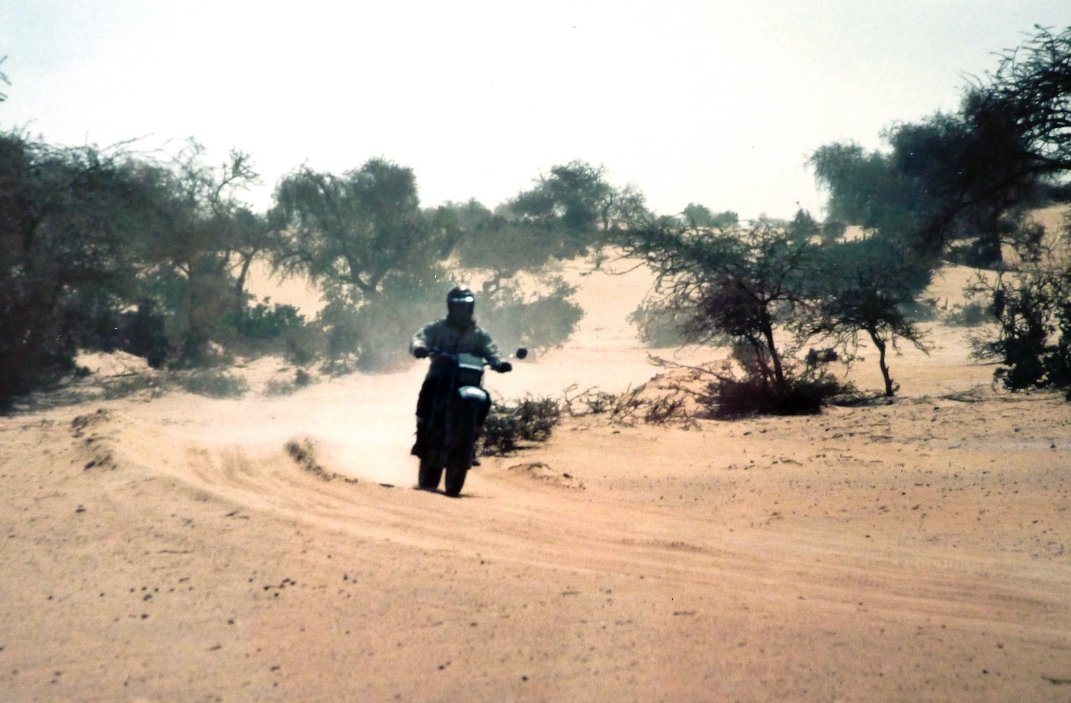
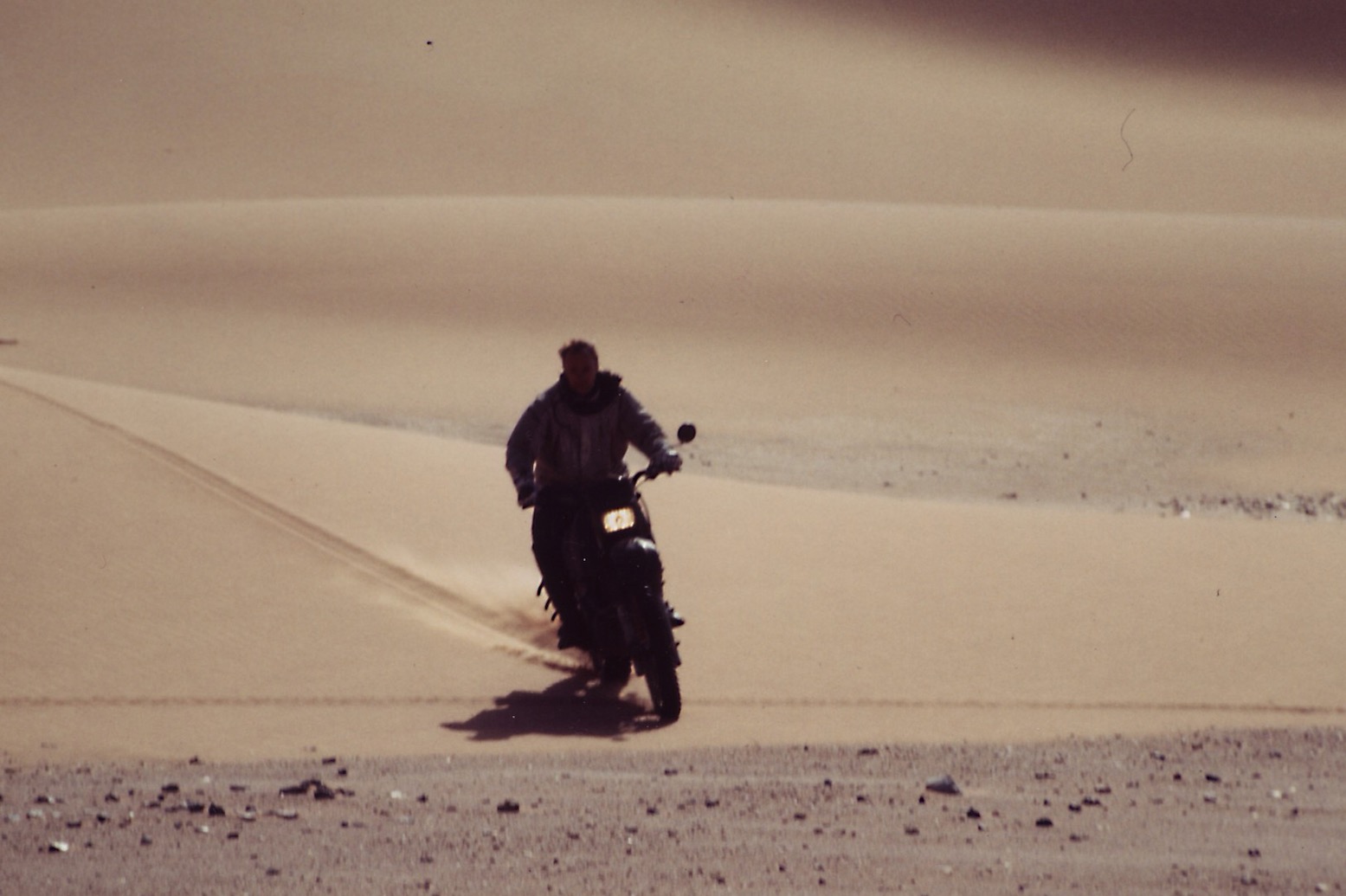
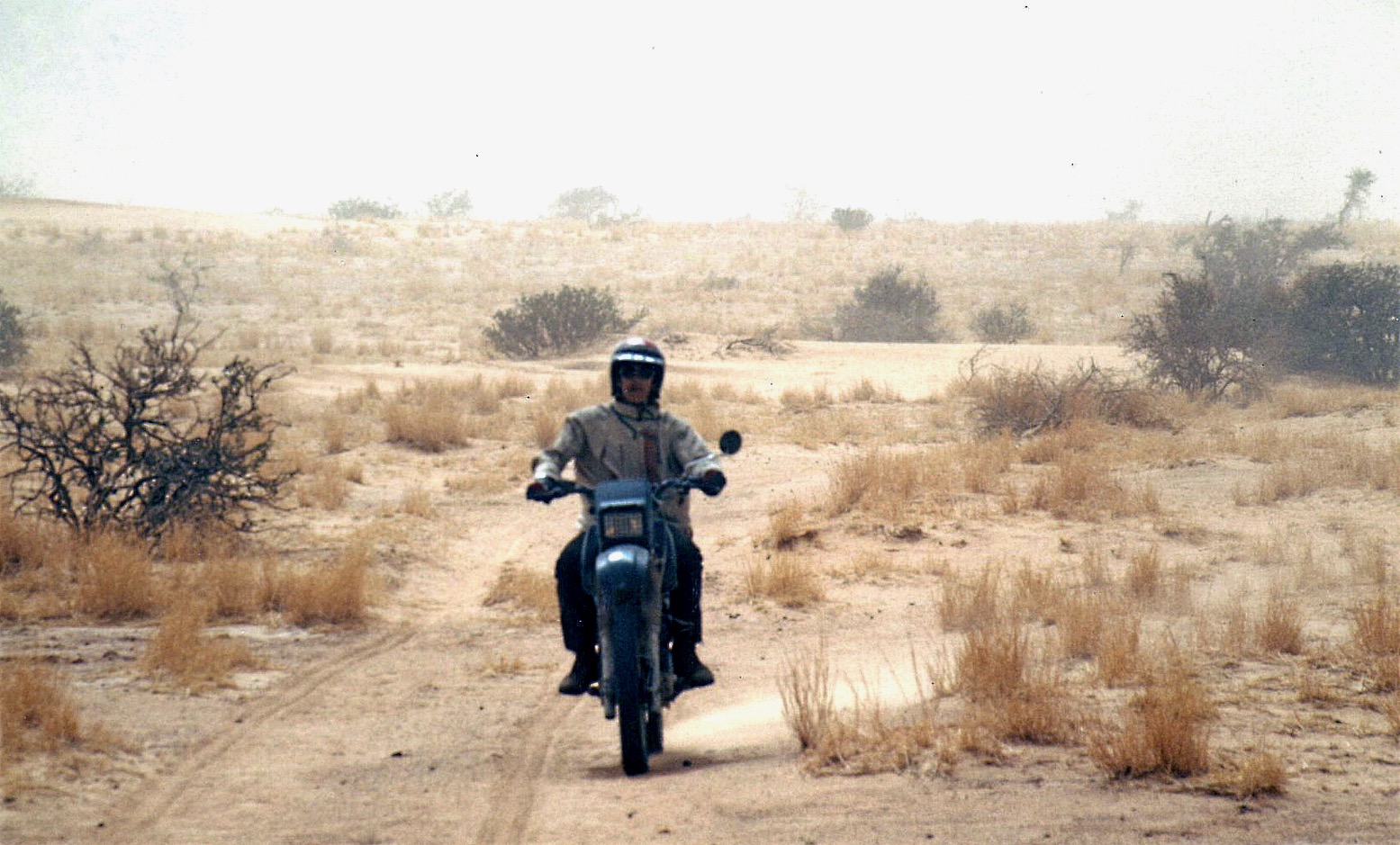
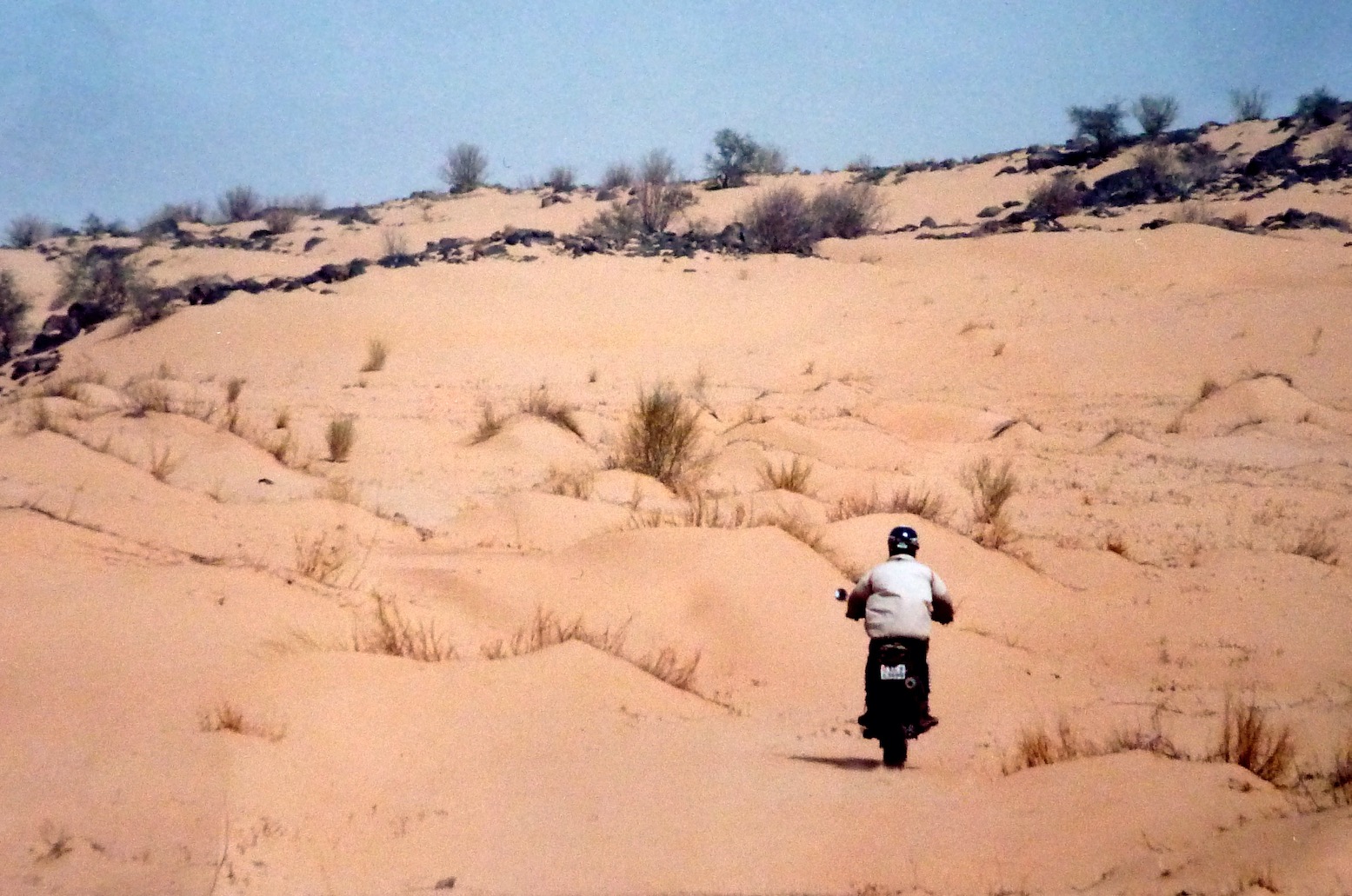
As a way of keeping the tip on the rails Steve invited me to ride his XT600Z instead. I wasn’t that keen on bikes by that time, plus it would leave me dependent on him. But I accepted his offer and we met up in France, the bike towed on its back wheel with a similar arrangement I’d used on the 101.
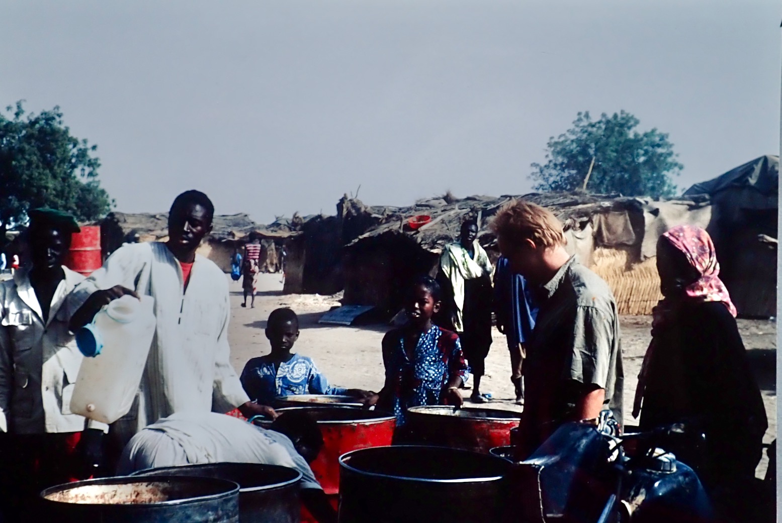
Unfortunately, as so often happened in those days, all my films were lost on a flight in Mauritania. Since then I’ve learned: do not put things you cannot afford to lose in the hold baggage. What few photos I have were shot by Steve.
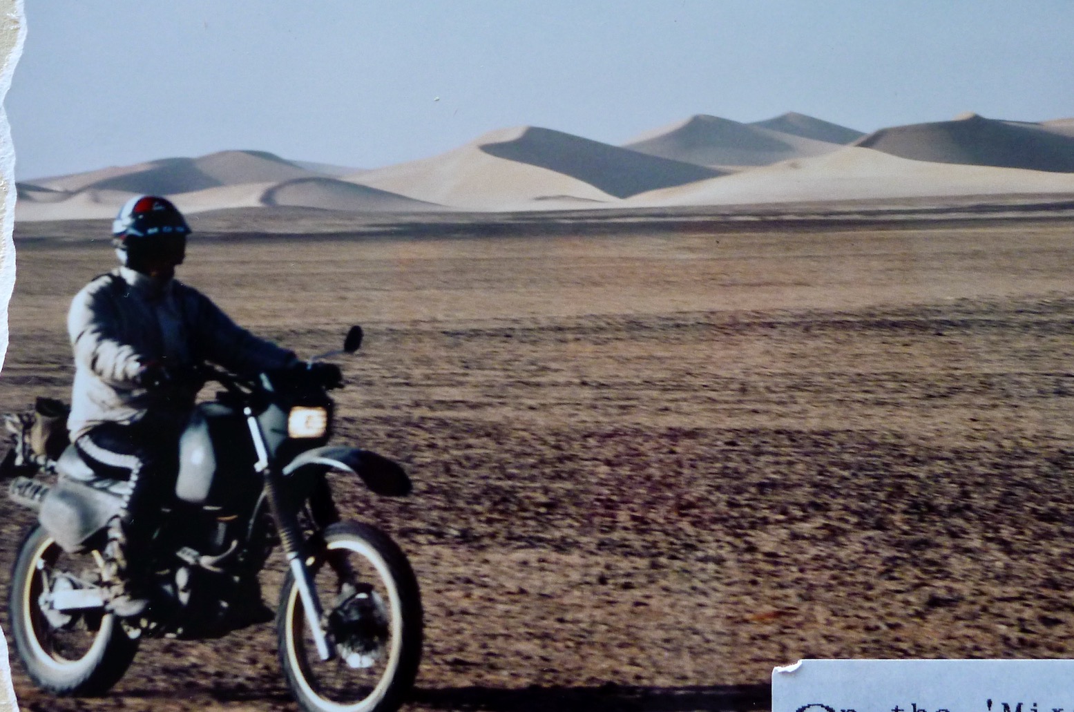
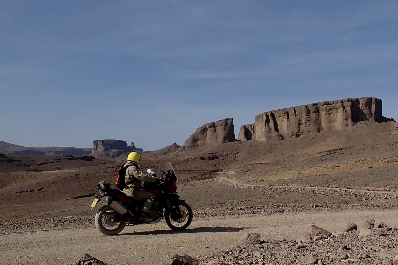
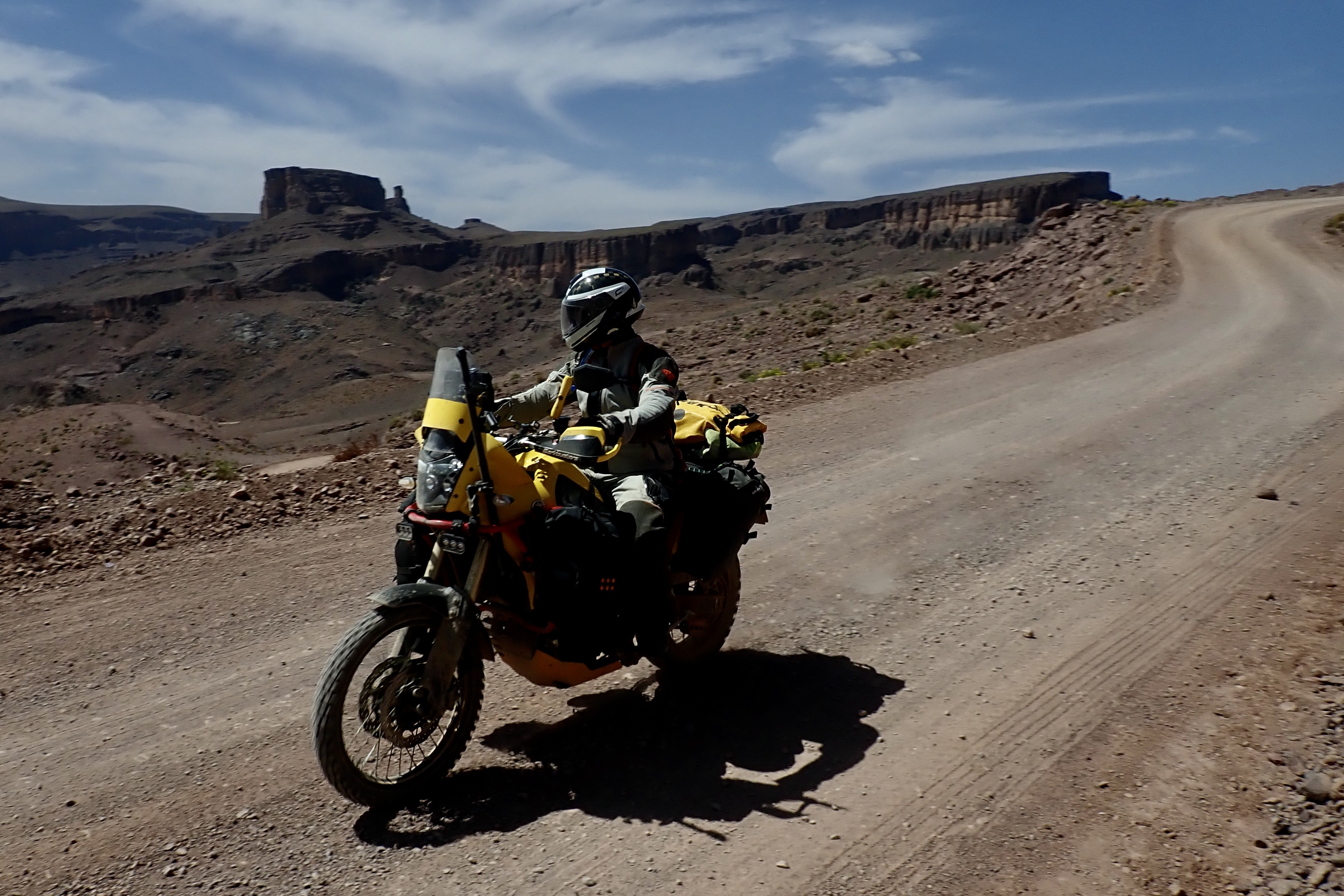
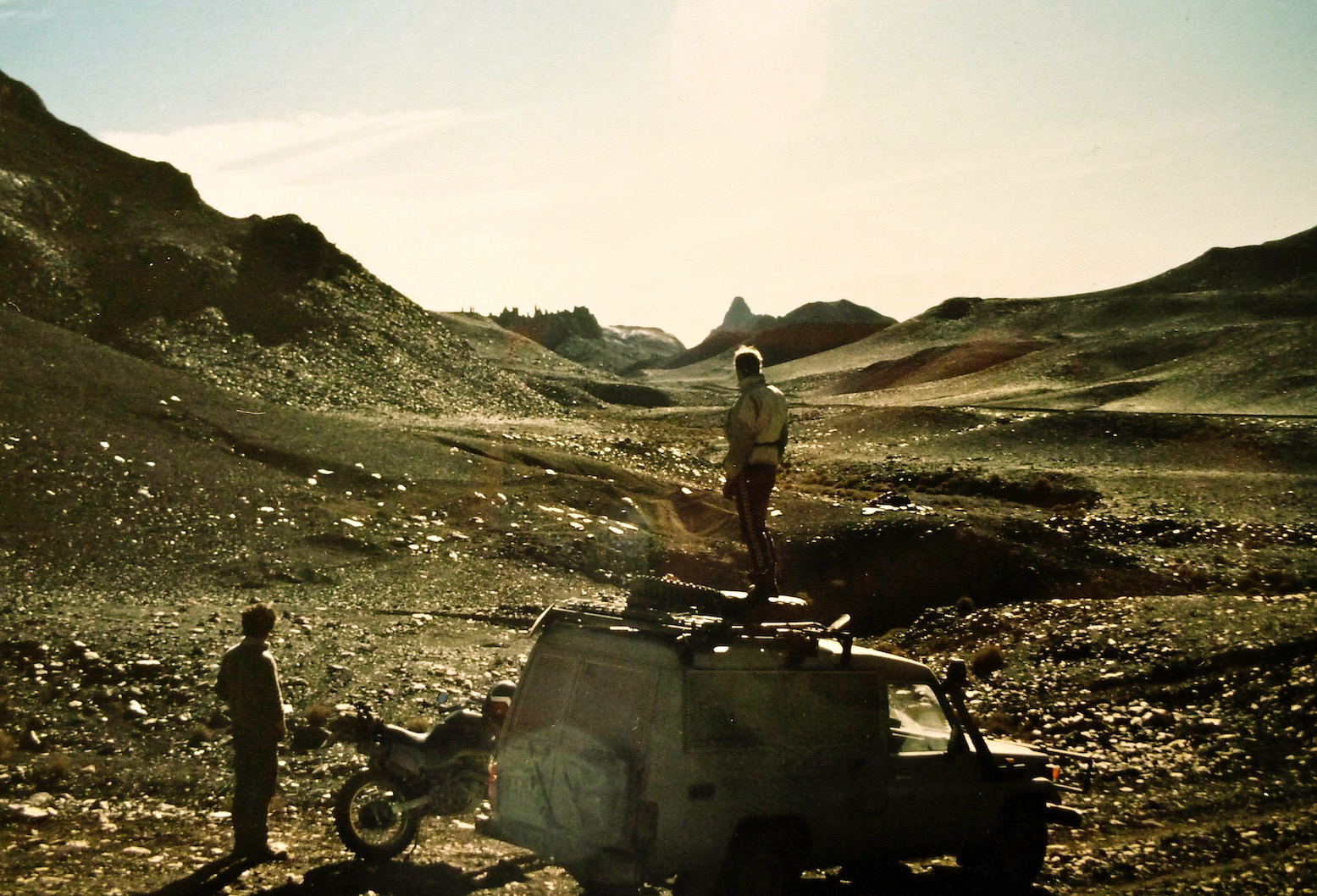
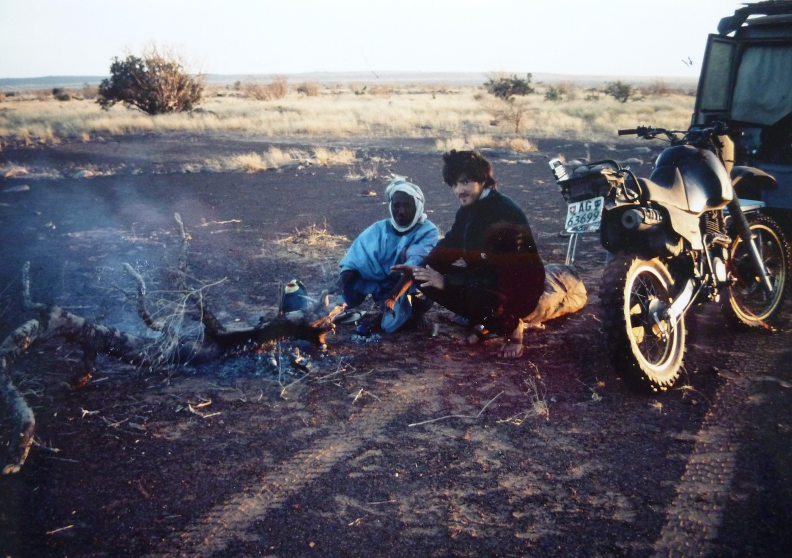
Steve’s XT was nicely set up and of course all the essential gear was carried by the car.
I’m wearing my airey, paper-thin Swedish Tenson jacket. Beyond wearing a lid, gloves and boots, the idea of wearing any sort of armour never occurred to me.
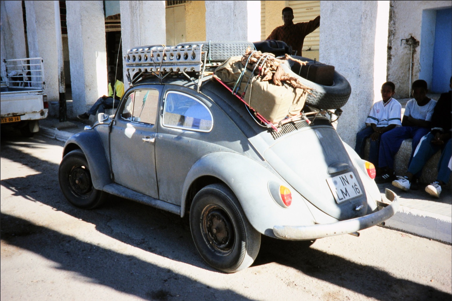
“… A couple of hours later we reached Tabelbalet well on the far side of the erg and were dumbfounded to come across an eccentric German father and son in a ratty VW Beetle. Amazed that a forty-year-old 2WD had made it through the dunes, Steve confessed later that the Germans’ presence had soured his crossing…”
‘I think I’ll head off when we get to Ségou [the next major town]. I’m not really enjoying all this riding around after you. I want to go off and do my own thing.’
I was determined to salvage the trip for my own ends. The shared driving had not materialised, the pace was ridiculous (we’d done around 4000 kilometres in less than two weeks) and everything I did was wrong or not enough. I didn’t see such a separation as a failure, it was merely the right thing to do if I was not to end up feeling resentful.
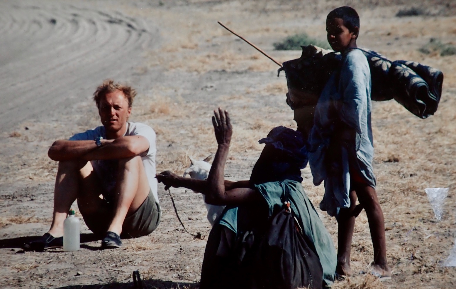


As agreed near Timbuktu, in Tidjika Steve went his way towing the XT, and I went mine. I met some American Peace Corps Volunteers and my travels in Mauritania took on a whole new direction.
Once in Tidjikja, I flogged my crash helmet to a delighted policeman. This time Steve didn’t even try to persuade me and drove off towards Nouakchott.