See also
How to trace off and save a .gpx track off Google Earth
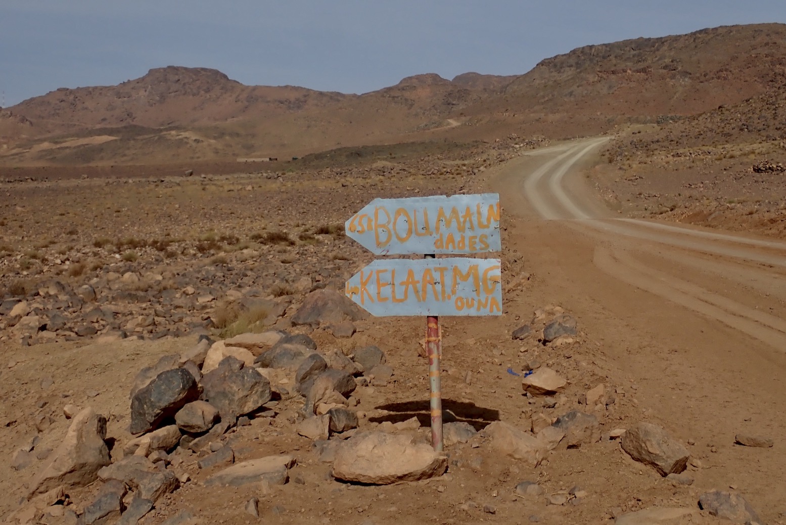
In a line
Packed with intriguing routes to amazing vistas, but unapologetically expensive and hard to visualise the potential from the single map unless you download the tracklogs (another €20).
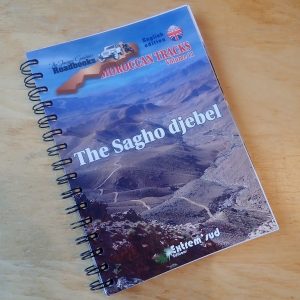
- Price and description
- £43 on amazon.uk today
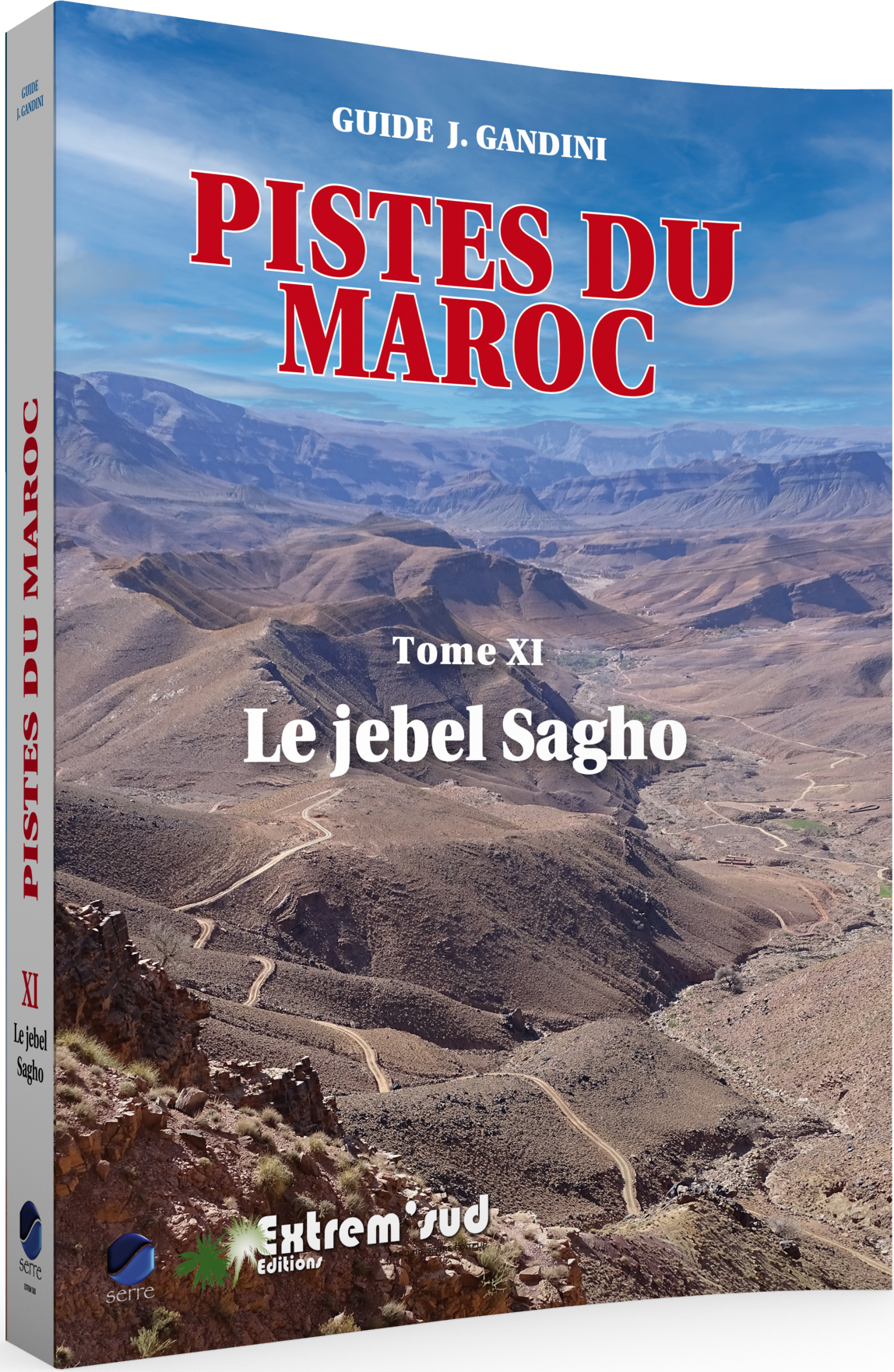
- Jaques Gandini with Houcine Ahalfi
- 140 pages with loads of colour but one map.
- Extrem’ Sud Editions; 2022
- ISBN 9782864106746
What they say
The “Jacques Gandini [Jebel Sagho] Roadbook” [is a] lighter version[s] of the French ” Guides 4×4 J. Gandini” (without the historical or ethnographic boxes present in the French edition): all the itineraries, all the waypoints and their comments are included. Abundantly illustrated, they are printed on strong 170g/m2 paper and bound with a metal spiral for better handling on the trail. They are published in 4 languages: Spanish, English, German and Italian.
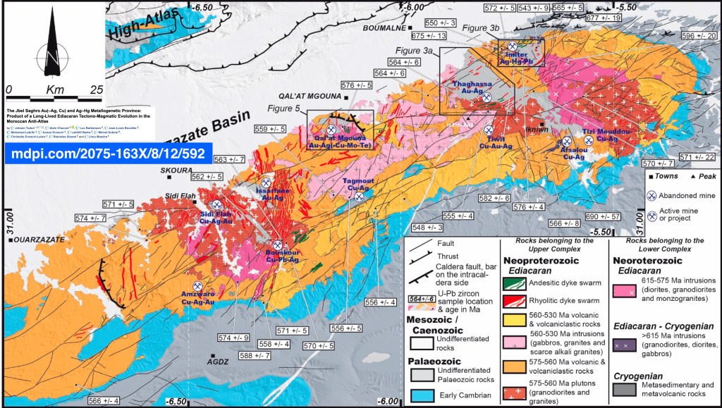
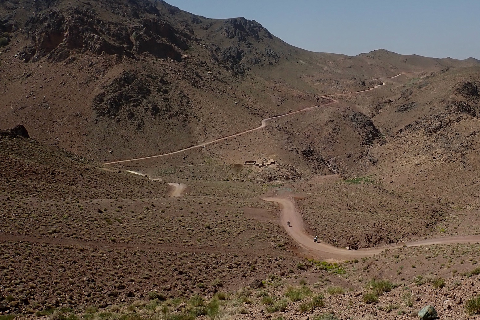
Jacques Gandini and Hoceine Ahalfi have explored in detail the Jebel Sagho, this magnificent wild region of southern Morocco, with its breathtaking landscapes, situated to the east of Warzazat and to the south of the Dades valley, and have put together 59 itineraries totalling 2,500 kilometres and 1,100 waypoints.

- Thick, quality paper and spiral bound
- There can’t be many routes left on Saghro
- The author is not without an SOH
- Some historical and cultural background seeps in from the full-fat French edition

- As with previous Gandinis, it’s an effort to engage with the book’s content, even in English
- Design/format too dense and basic
- Jam packed with pictures, but many are just space fillers
- A guidebook with just one map!?
- Expensive, even for a specialist guide
- Scores of extraneous waypoints for every passing creek, etc
- Probably better off just downloading the tracklogs for €20 instead
Review
I first came across Jacques Gandini’s Sahara guides around 1999 when that was all that was available for Libya (apart from German). The books were loaded with well researched historical and cultural background but, as practical piste guides for the early GPS era, I found them hard work. I may have bought one of his early Morocco books too, but was further put off.
Since that time I’ve written similar books like Sahara Overland (op) and Morocco Overland, and like to think I know what it takes to make a piste guide user-friendly for autonomous two- and four-wheelers. In the meantime the prolific JG has concentrated mostly on Morocco, producing 11 routes guides to various regions, as well as other travel books and histories, assisted by his Berber-speaking local guide, Houcine Ahalfi. The books were all in French until this English edition for Jebel Sagho was released in 2022 (also in Spanish, Italian and German), alongside the new French version. A sign that more translations will follow?
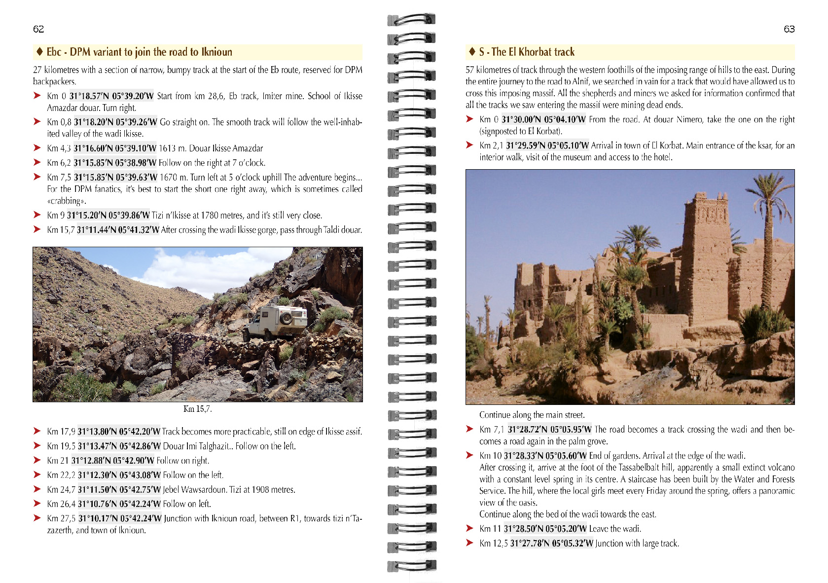
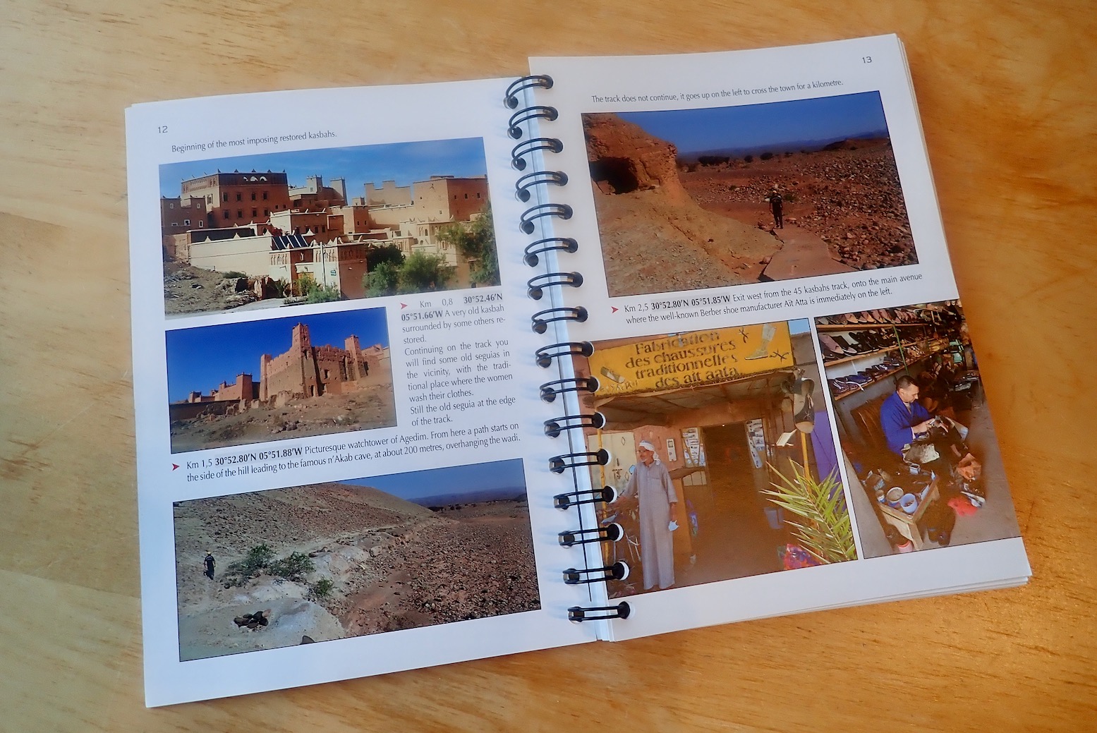
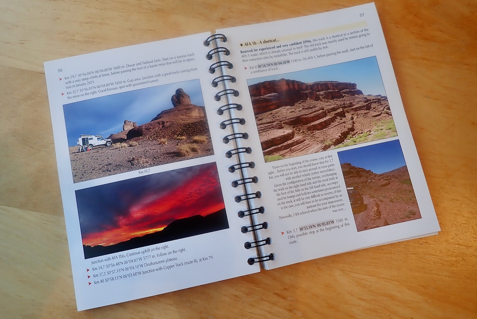
The blurb clearly states this is a ring-bound, stripped down ‘roadbook’ of the full French version which is well over twice as long. And they’re not exaggerating. You usually get one line intros for routes squeezed between masses and masses of photos. A few of these are amazing (not hard on Jebel S), some a bit so-what-y, as if filling space.
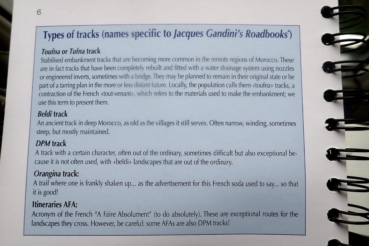
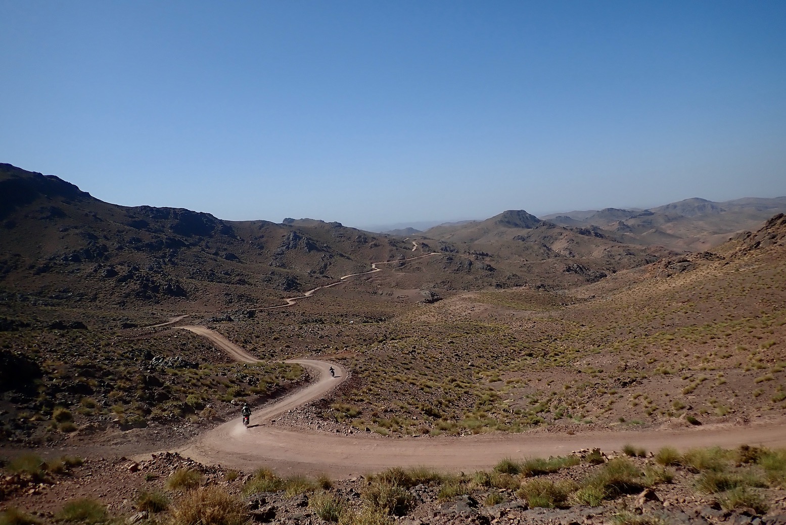
The pistes are categorised using Gandini’s scale, shown left. ‘Tufna’ are easy, well-maintained tracks like MZ1, ‘Beldi’ are ancient winding village routes, some possibly abandoned for regular use (though young locals on 125s can go anywhere); ‘DPM’ I think is meant to signify ‘Dedicated Piste Merchant’ or somesuch. ‘Orangina’ is a bone shaker and ‘AFA’ is Absolutely F-ing Amazing.
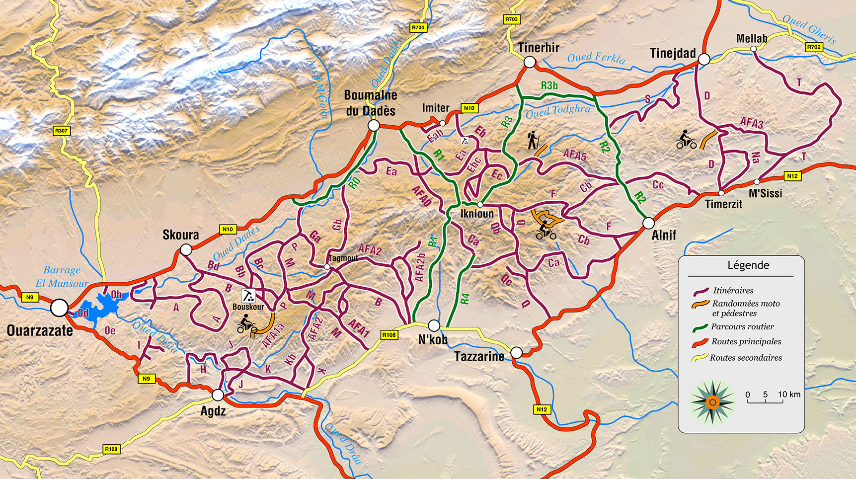
Most are listed from A to T but these refs are scattered all over the hard-to-read map (tip: don’t used dark red text on a brown background). In between are sub-routes Ba, Cd, etc, plus the aforementioned five AFAs. Confused yet?
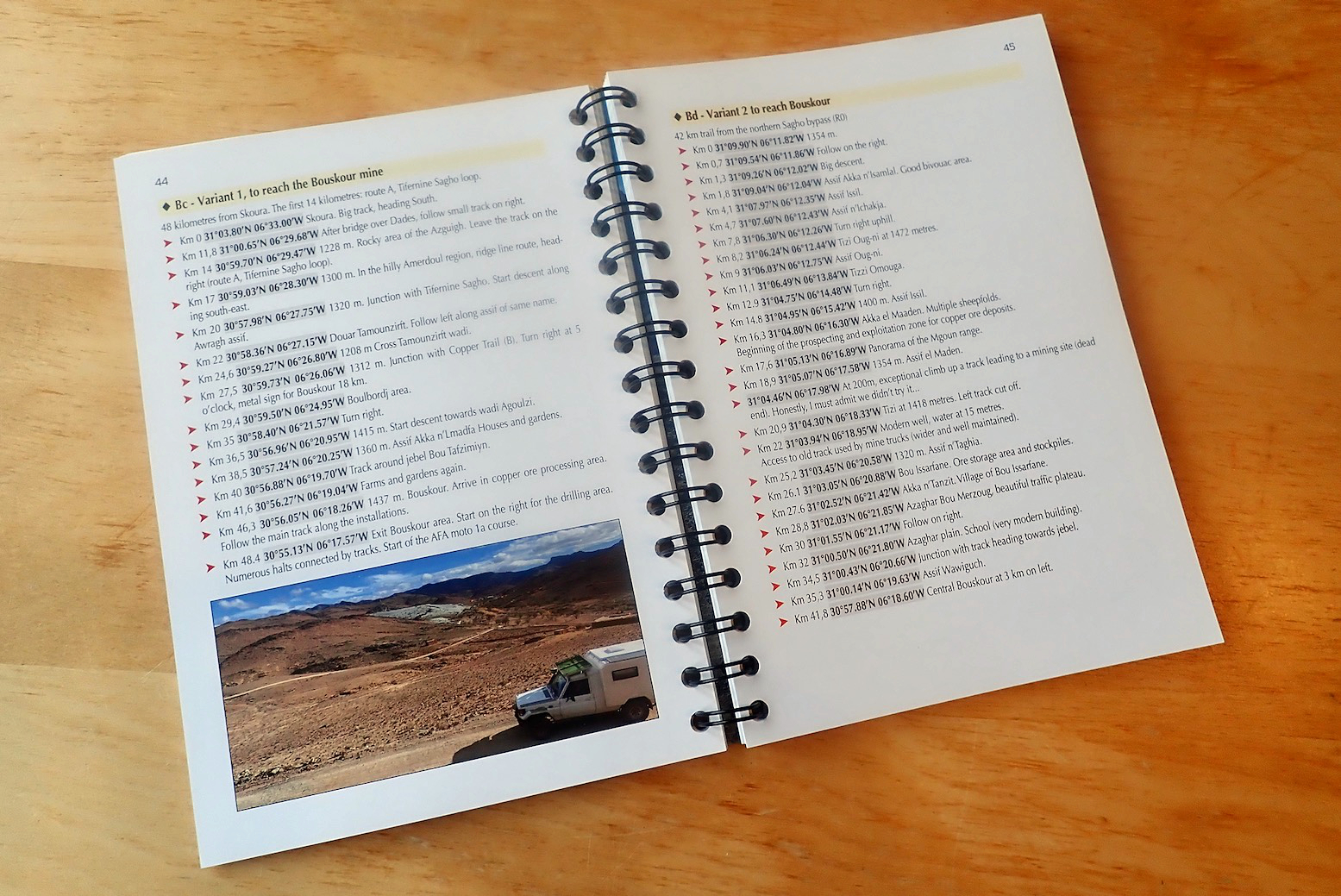
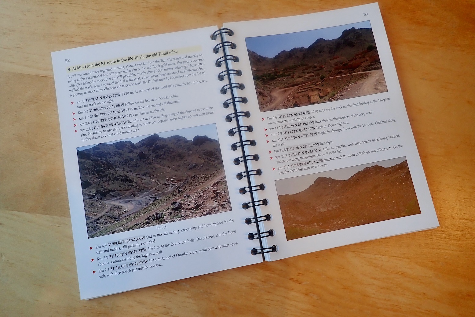
Page upon page is packed with distances, waypoints, short descriptions and photos. According to the blurb, with over 59 routes there is on average a waypoint every 2700 metres. Many of these waypoints seem to be unimportant names of passing creeks extracted from a local shepherd or off an old map. In the picture left, the right page has just six directional waypoints. This is too much distracting, unnecessary information. Perhaps Gandini is a writer who likes to throw in everything (a common flaw with many ‘under-edited’ self-published books): loads of waypoints, loads of photos. But loads of routes too. Also, I believe we’re now in the era of the less error-prone decimal degrees (D.D°) format: simply 00.0000, -00,0000, not N00° 00.00′, W00° 00.00′, let alone N00° 00″ 00′ W00° 00″ 00′. My current Morocco edition uses D.D° which I believe is the default in mobile phones.
You’d do well scrutinising the book or prefered routes with a highlighter and marking the waypoints that actually matter. In my Morocco book I decided ages ago that waypoints weren’t needed for every single passing feature which may be simply noted with a distance, especially when on a section of track you can’t stray from. I have to add the condensed font is not to my taste either. For me, when on the piste and with the Orangina fit to burst, you have enough on your plate should the time come when you need to refer to your guidebook, and so legibility and ease of use are key.
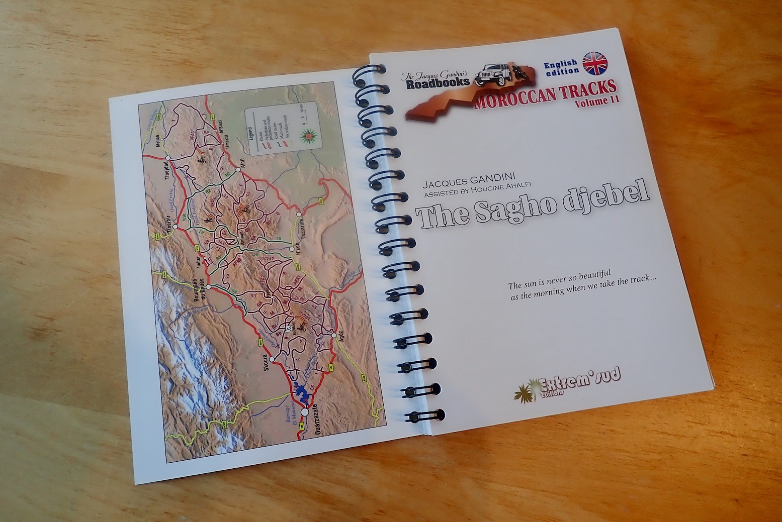
It can’t be a mere oversight or issue of space that the book has just one overview map on the inside front cover (above and online), tightly packed in the 2500 kilometres of routes. I feel that in books like this, additional maps are an essential part of breaking down long lists of waypoints or tangled routes into something you can visualise. You get the feeling you’re being pushed into buying the tracklogs for another €20 (but of course not share them beyond your immediate family on pain of the guillotine). This is a current quandary over copyright with all publishers of similar content. As it is, a canny user of Google Maps could easily locate the pistes shown above and trace them off satellite imagery to make their own tracklogs.
Finding online ‘OSM’ maps maddeningly unreliable and inconsistent, that’s what I’ve been doing lately in search of new routes in southern Morocco. There are many places I’ve long wondered ‘Hmm, where might that go?’. The best answer is on a high resolution WYSIWYG aerial image; zoom in close enough and you’ll find a dense lattice of tracks leading to lonely homesteads and hamlets all over southern Morocco; just don’t expect these tracks to all be passable. That is the value of guidebooks; the routes have been systematically ‘curated’ for you.
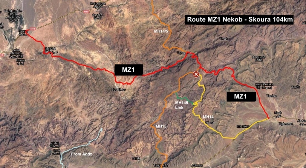
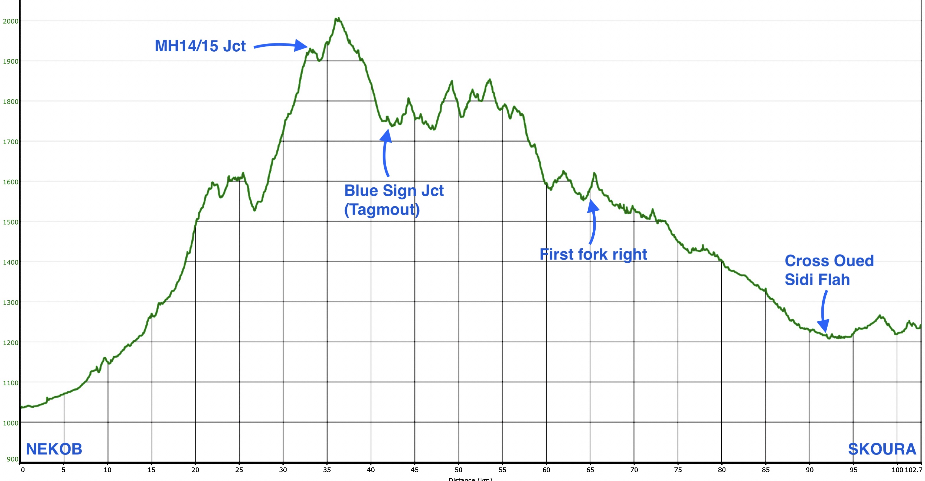
Some anomalies I chanced upon: he calls my MH14 route ‘new’ which seems odd. Yes there are new mines up here but I was told of this piste way back in 2011, it’s a long-established Sagho route. I also note he draws 120km out of my MZ1 route, when my tracklogs record at around 102km. That’s quite a discrepancy on a route which must be identical. Maybe just a typo – I should know!
Other than that, there’s masses of information based on years of experience, it’s just a shame Gandini hasn’t got better at laying it all out because it’s hard to easily take in what you actually need to know. Maybe, like any new guidebook, spending more time with it will make it easier to use.