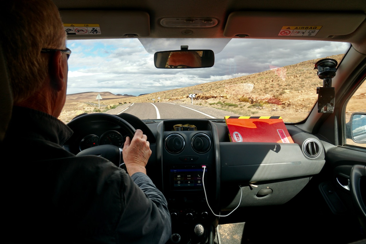
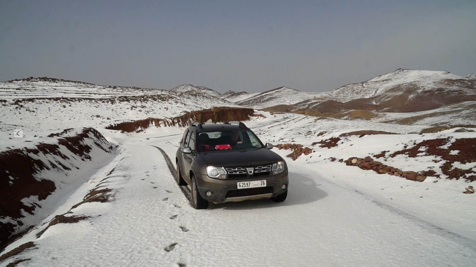
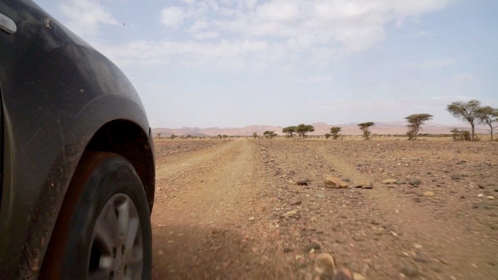
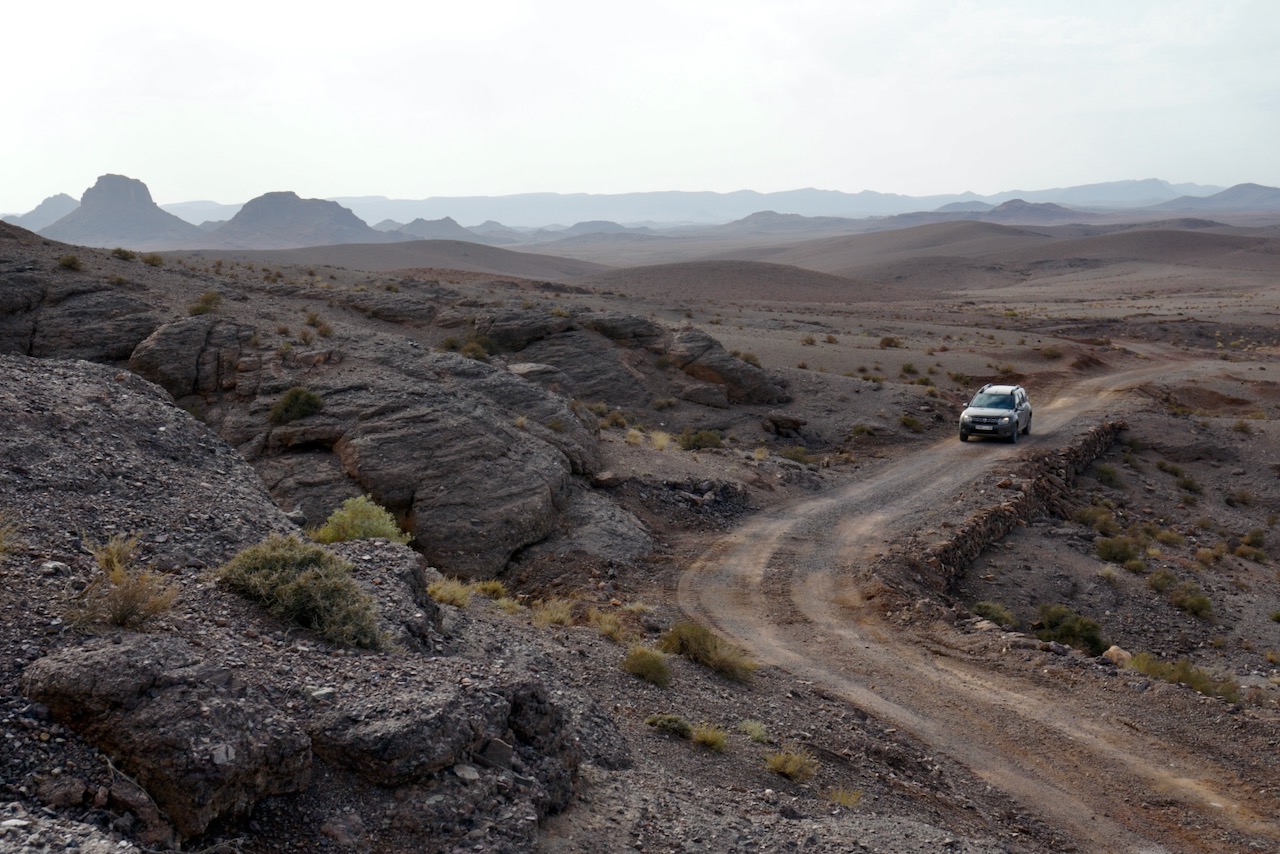
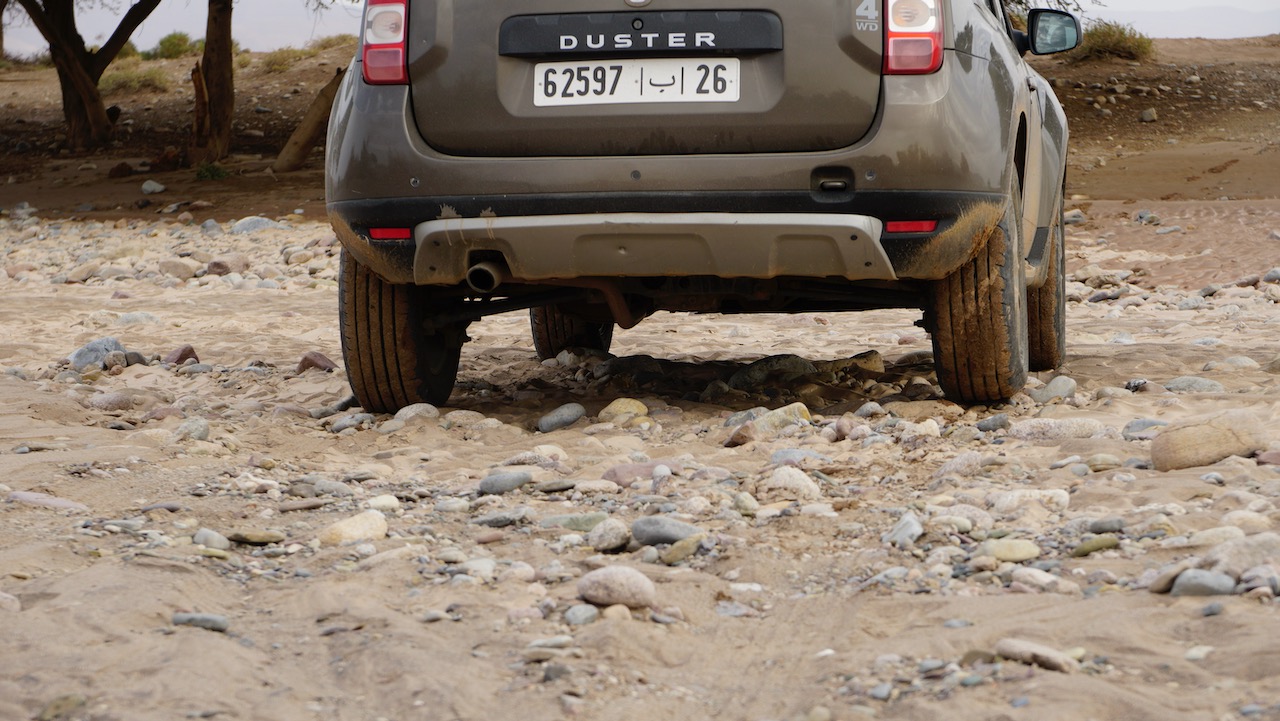
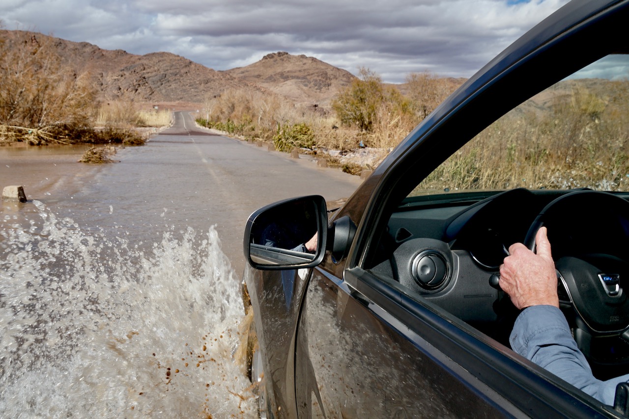
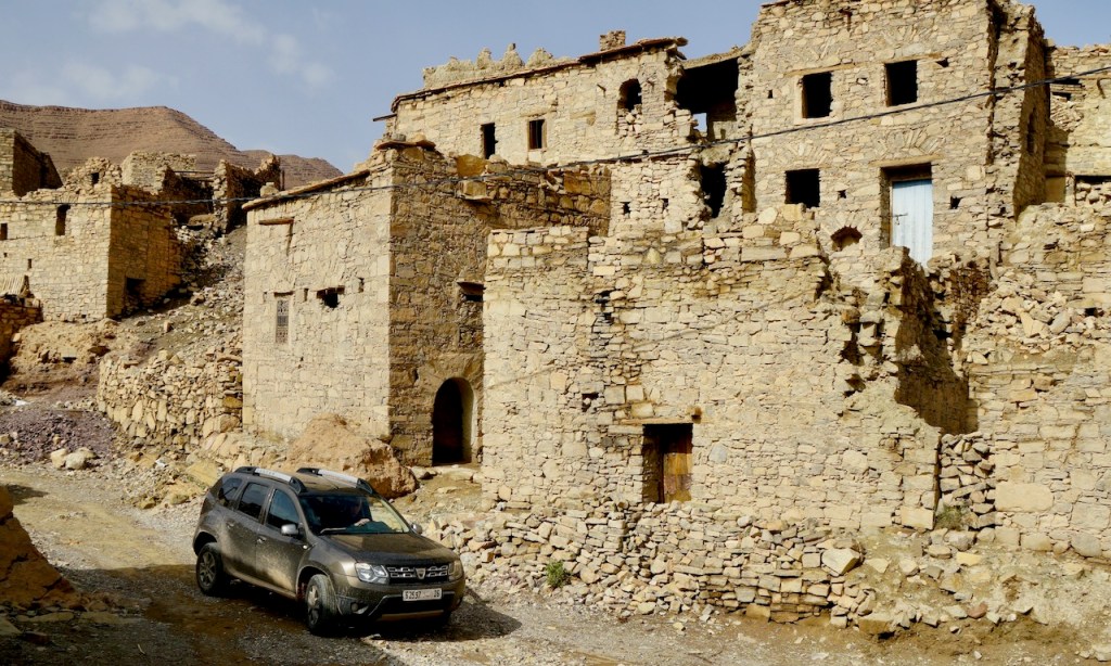
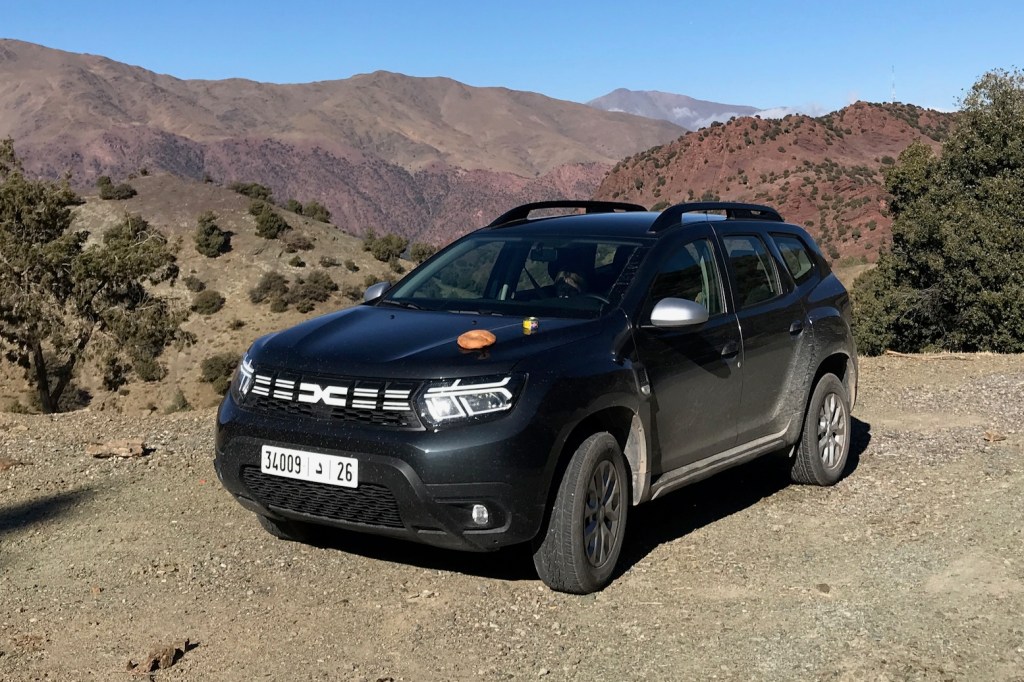
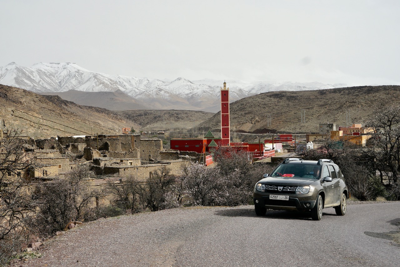
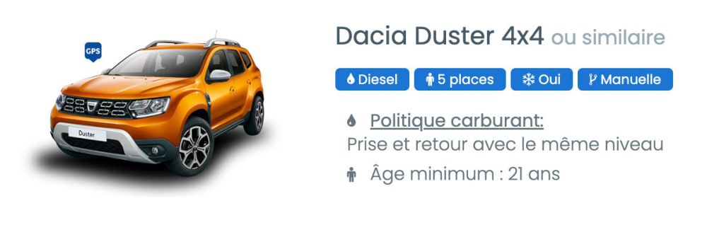
In November the Mrs flew in between my moto tours and we hired another Morocco-built Duster from Medloc Marrakech to scout routes for the M4 book, covering the western corner of Morocco to the Atlantic and within an hour of Smara. Only this time they had a 2023 model with just 14,000km on the clock, but still just €65 a day – about half the price of a Toyota TXL. For more on the rental experience and my unchanged pros and cons, read Duster 1 from earlier this year when we drove a 100,000-km far, but got little done due to preceding rains having damaged many roads and tracks. By the time we got this newer model all the tracks we tried to do and more were in great shape, and so were able to push the car less hard.
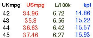
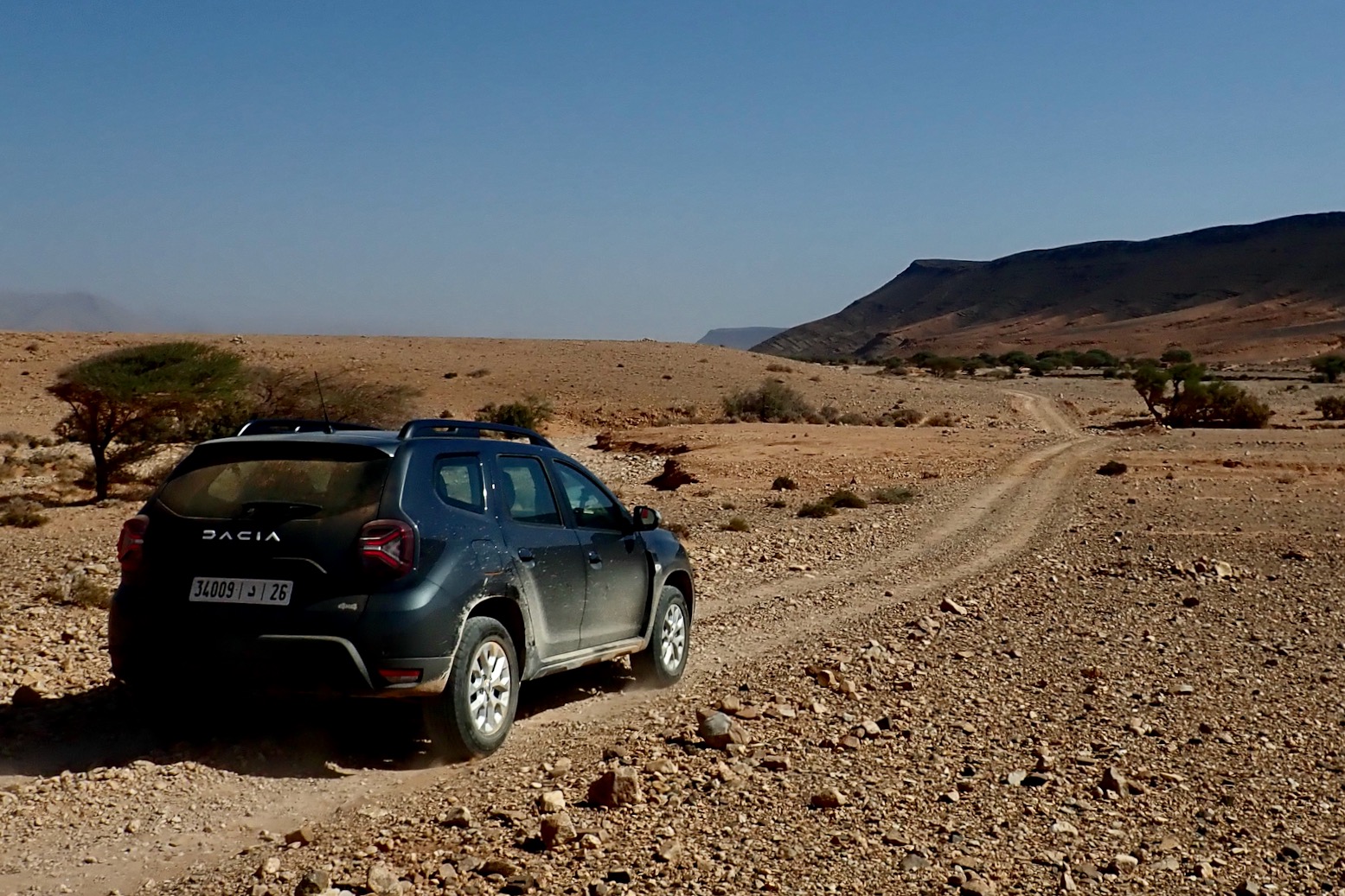
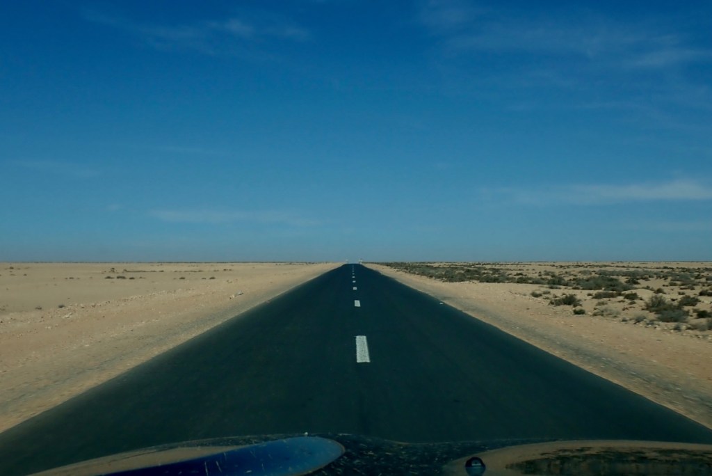
A Duster can restore you cynicism in the SUV craze by having genuinely utility on regular tracks (but see below), plus enough power to sit at 130kph on the desert highway – as fast as you’d want to go with camels roaming about. At the same time it’ll reliably do up to 45mpg or 15kpl giving a massive 800km range. And these modern diesels are quite amazing: torquey, quiet and nippy. With an auto box it would have been even better.
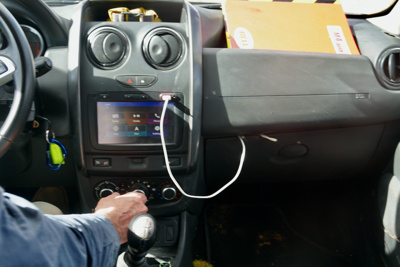
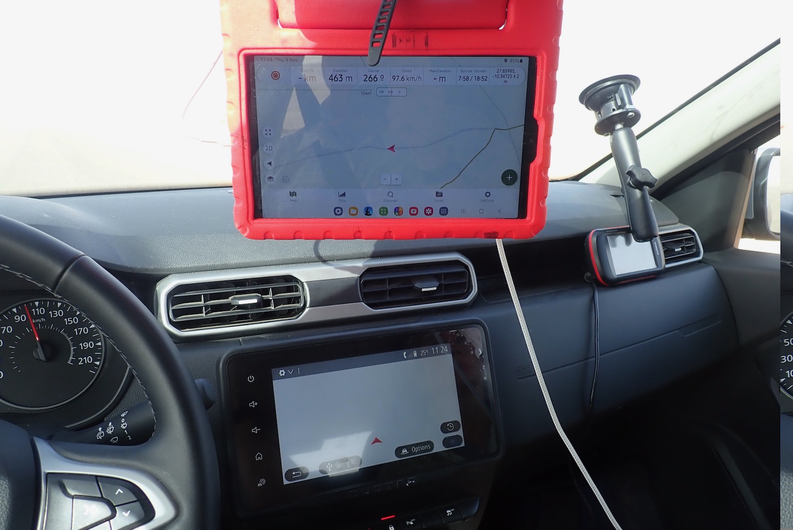
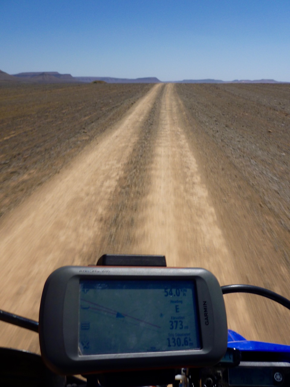
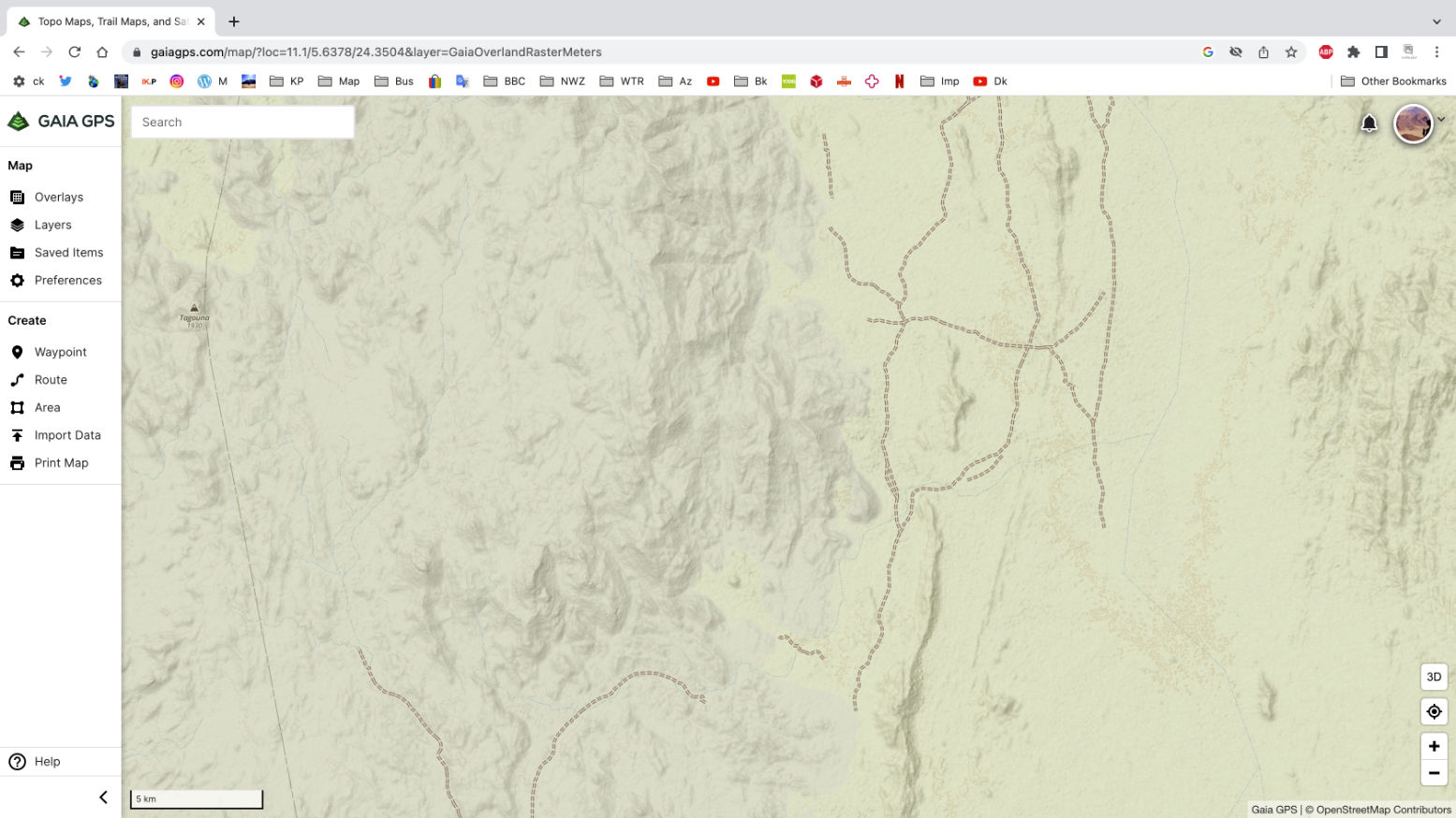
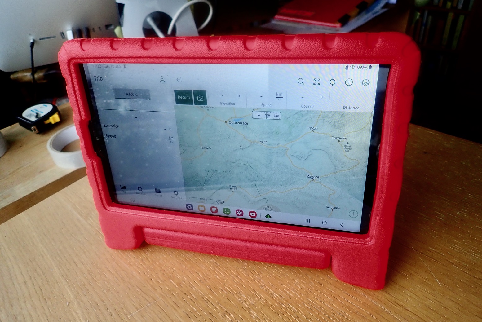
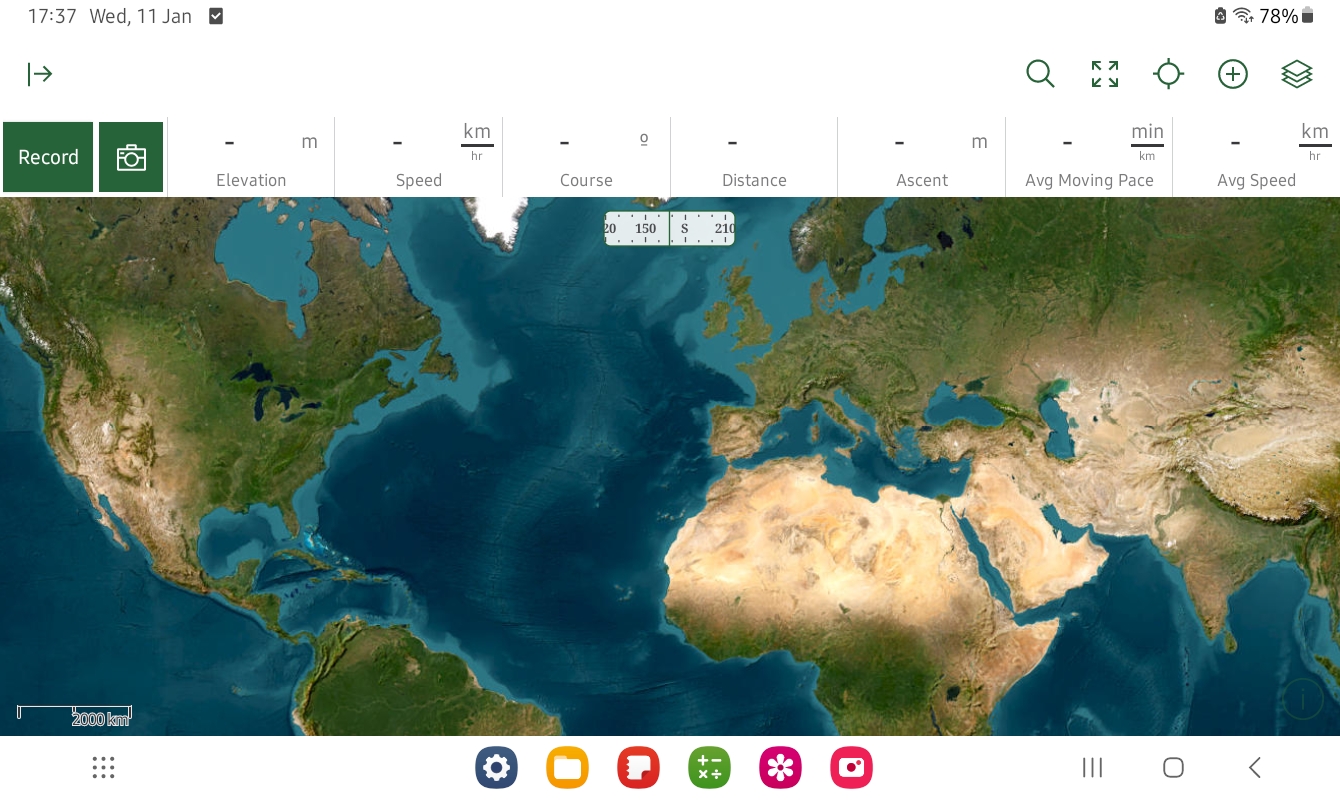
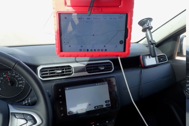
On our one the air-con actually cooled properly which was a relief, the switches and dash have been re-organised, but the fitted satnav was bogus. Yes there was a map displaying our position on an unnamed road or track most of the time, but there was no other info at all and no routing function. This confused us until we read you have to visit the Renault (Dacia’s owners) website to download a map/app? onto a USB stick or some such. You couldn’t even pair a smartphone screen (or we failed). Be warned: unless we got something wrong you will need your own nav device. We had my Garmin Montana, as well as a more readable Samsung tablet running Gaia maps (above). I did happen to have my music on a USB stick and that system worked intuitively, through the speakers are not the best.There was music pairing off one iPhone too.
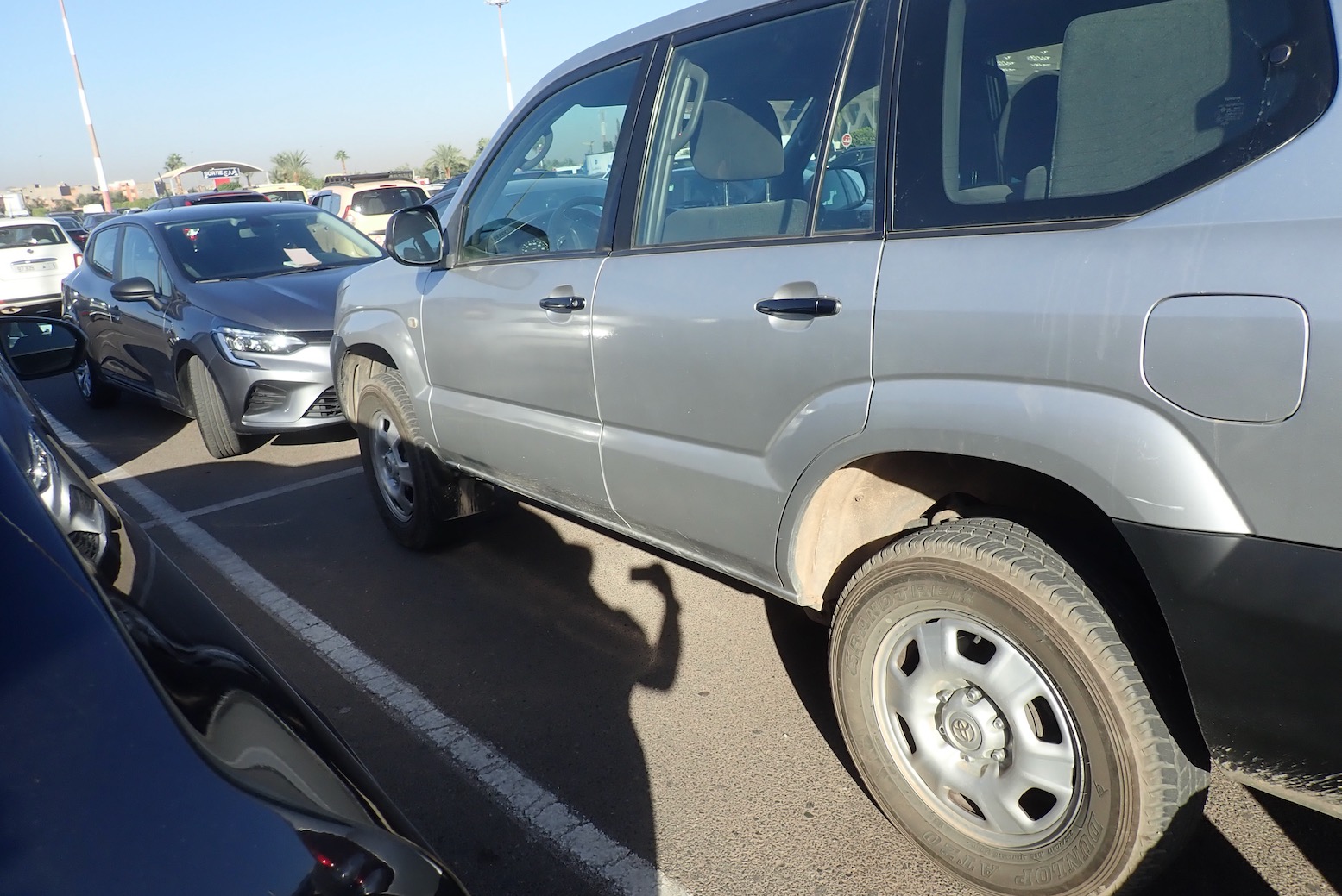
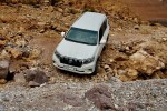
Toyota’s Prado TXL is the other main 4×4 rental in Morocco but tough though it may be by reputation, the autos can be comparatively portly slugs and unless lifted (left), are also bottom scrapers. As it is, I’d not be surprised if the 1.5 litre, 110-hp 6-speed TD Duster has a superior power to weight ratio than a TXL. It certainly takes off and overtakes effortlessly out on the road and handles bends well thanks to anti-roll bars. Only for deep sand or exceedingly rocky climbs – rare or avoidable in Morocco – might a Prado’s Low Range be needed.
Within hours we got a flat on the ropey Tizi n Test road, luckily just as we stopped in Ijoukak for supplies and close to a tyre repair shop. This was a bit worrying on the road; were the Continental tyres cheapies? I had the means to plug flats with a spike/worm, but better to get a shop to remove a tyre and vulcanise a patch from the inside.
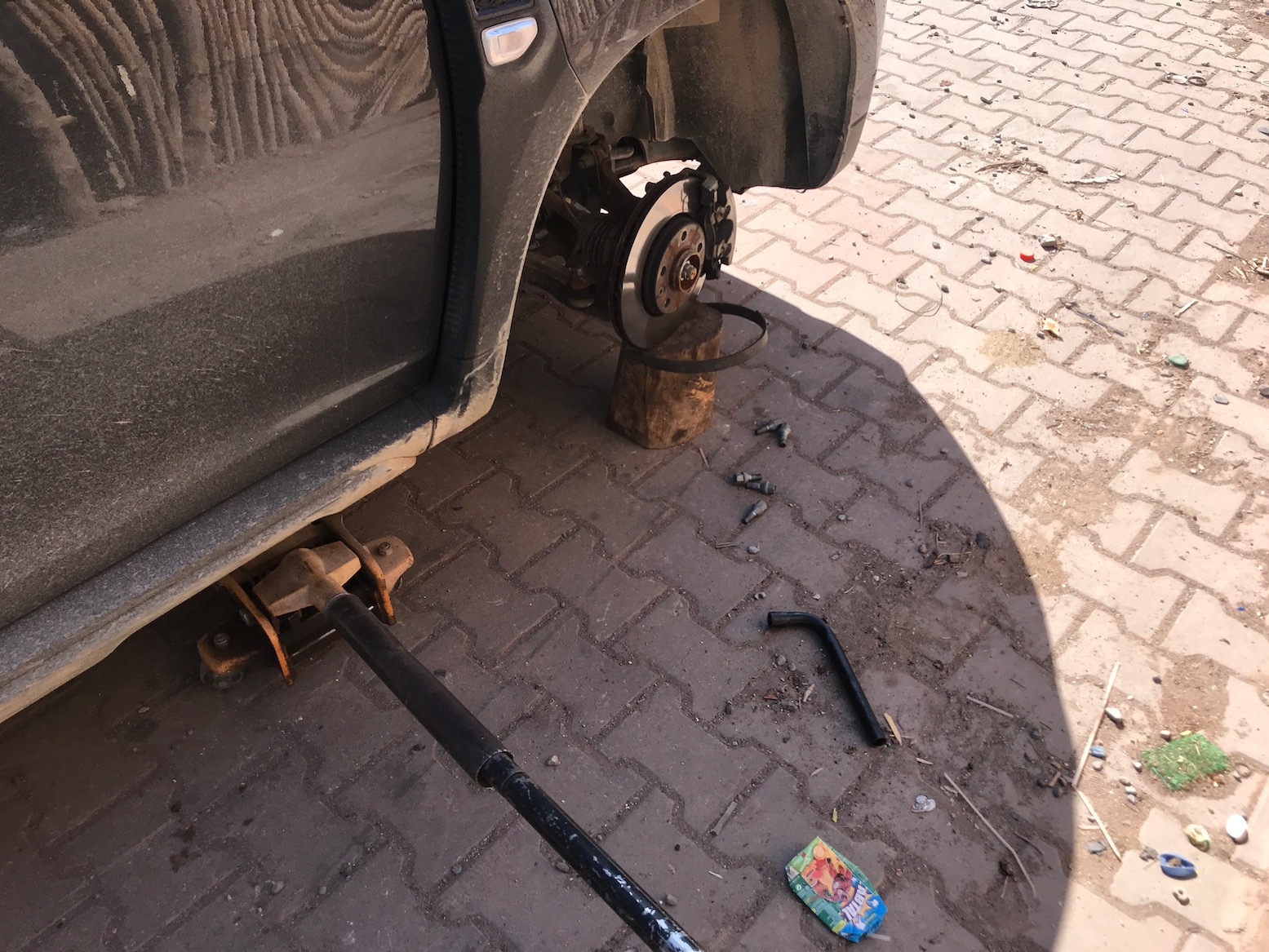
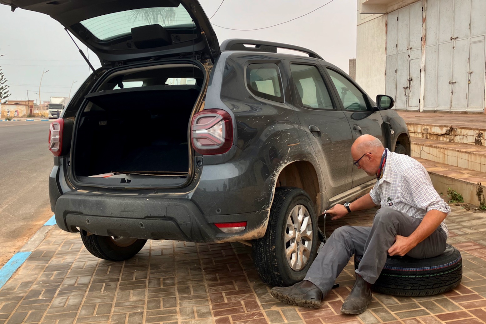
We had another flat in Tan Tan Plage which needed the spare fitting to drive to the tyre shop. This spare is speed limited to 120kph which seems fast enough, and looked the same size tyre, but on a steel rim. Note that the scissor jack has only just enough reach to lift the rear, and be careful about positioning it correctly until the metal sill, not the plastic trim.
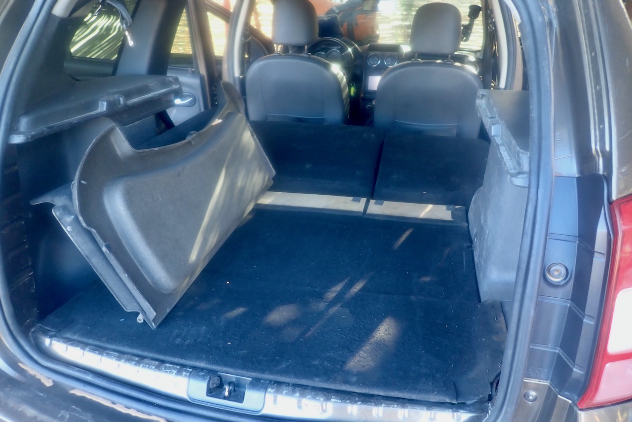
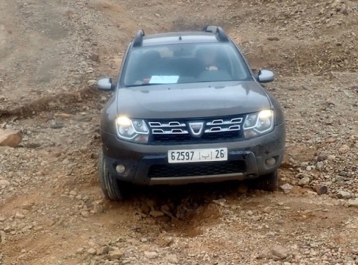
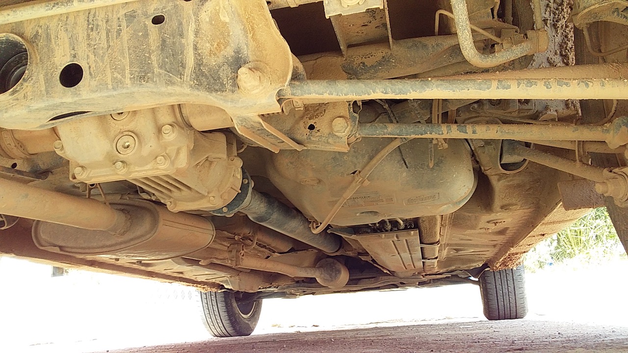
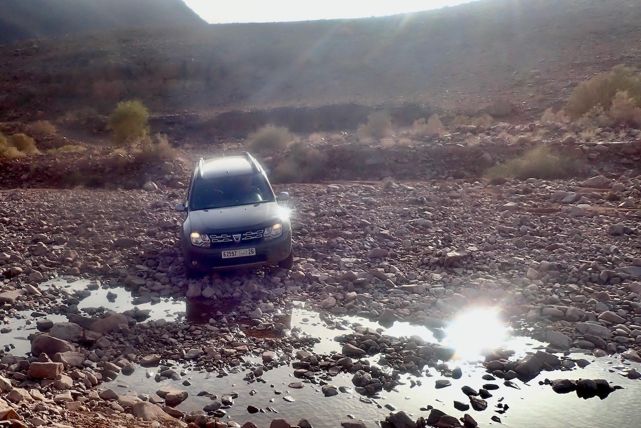
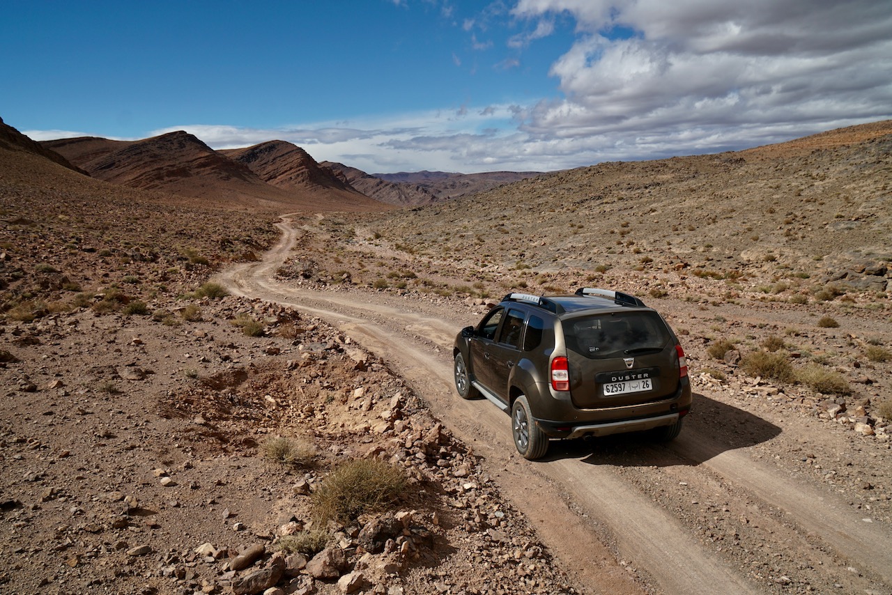
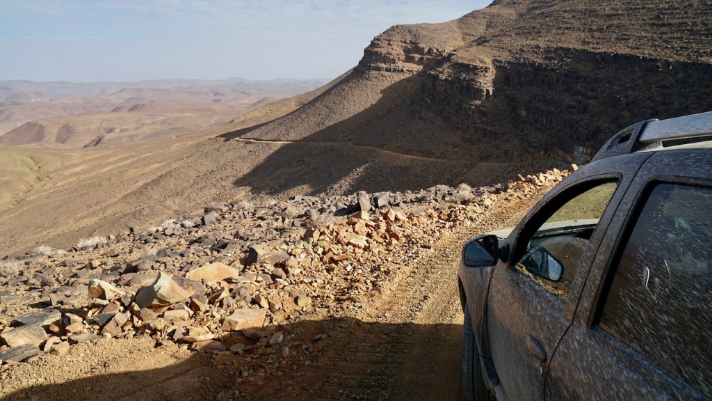
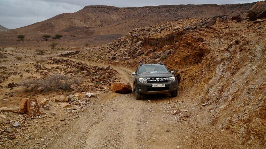
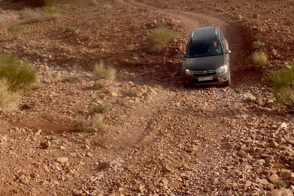
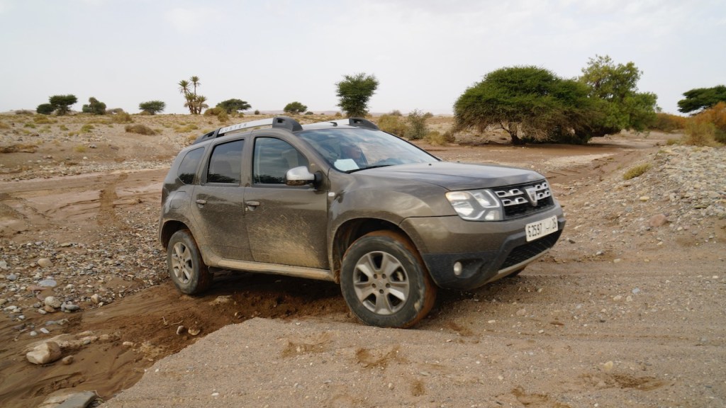
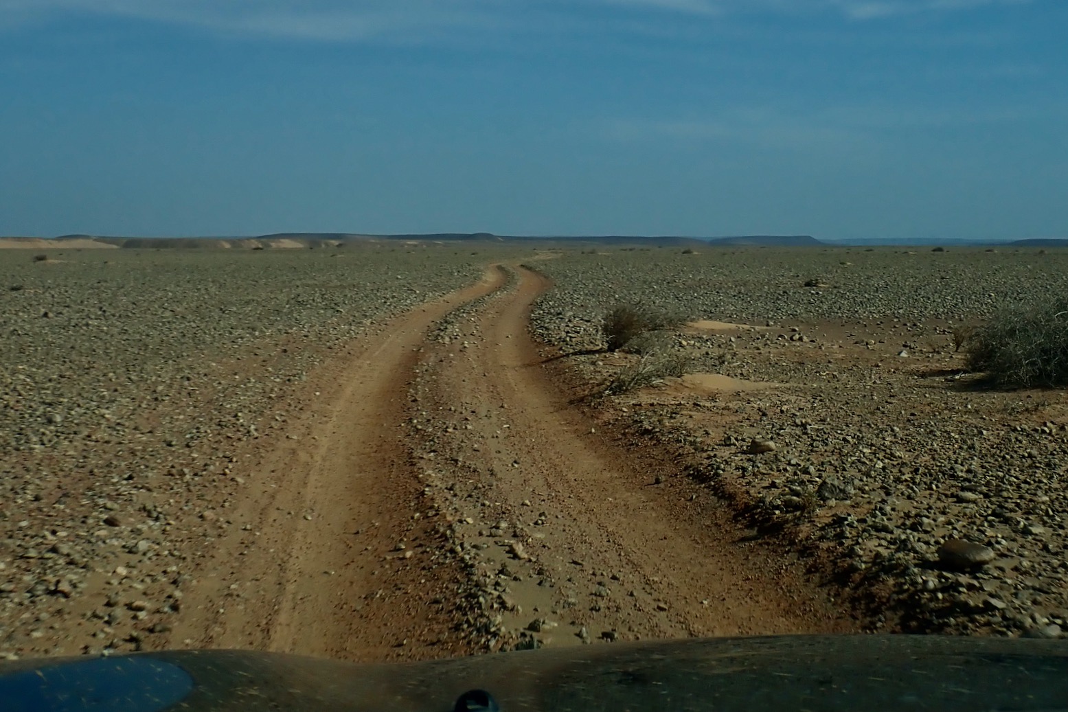
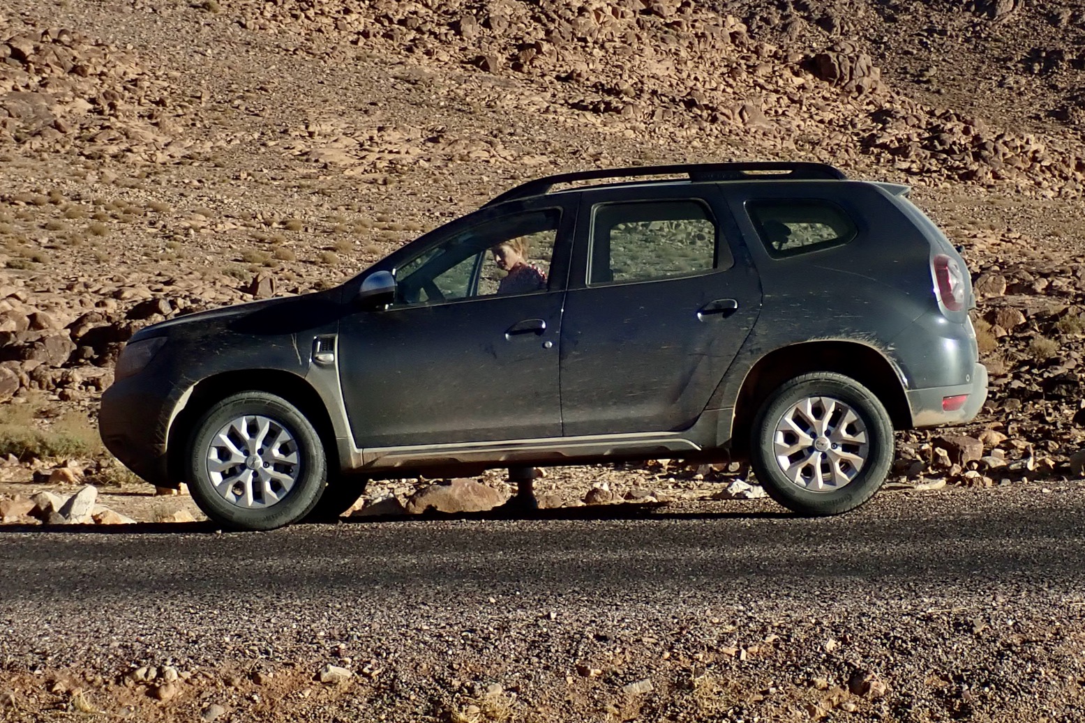
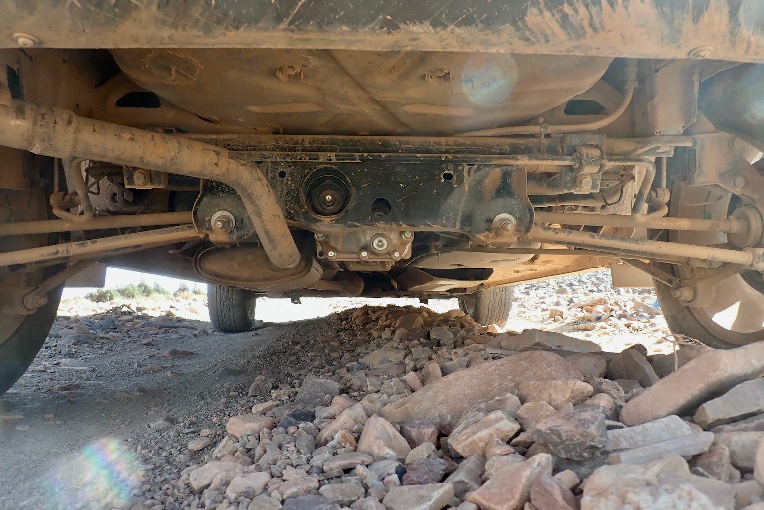
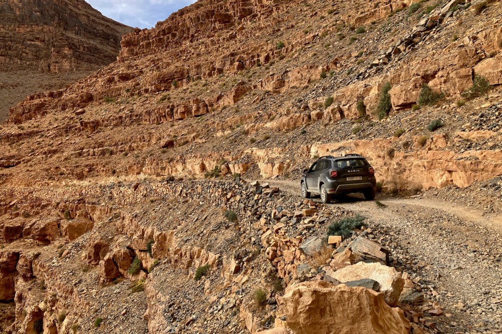
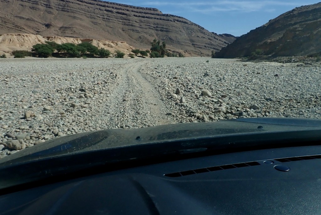
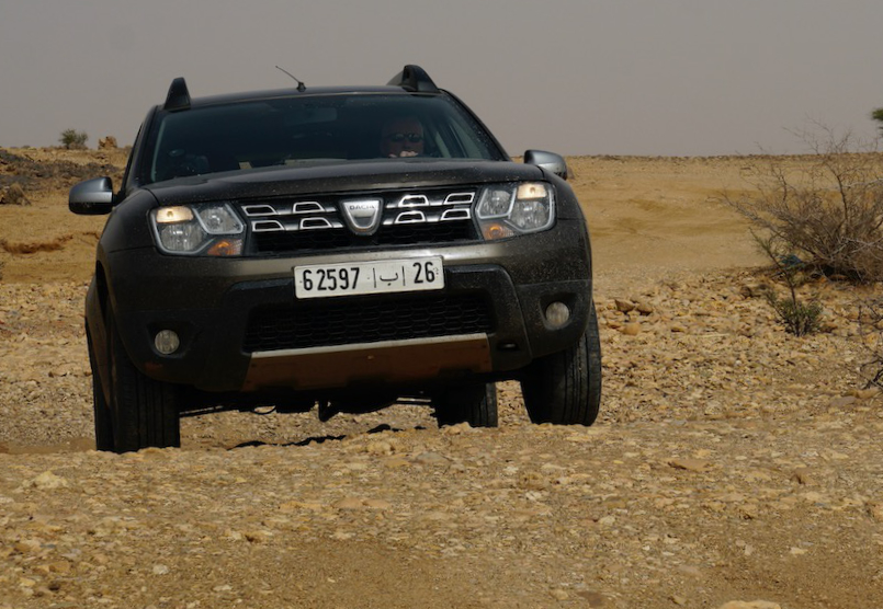
Off road obviously you take it easy in a rental when alone in the desert. So many SUVs, even AWDs have disastrous frontal overhangs but I never scraped the front or rear bumpers driving in and out of ditches or oueds. Same with the ramp clearance. But as before, the ‘axle’ clearance is oddly not as good as it looks and you find yourself having to straddle ruts to one side (above) to maintain clearance. A full tank may not help, but we just had two bags in the back. As you can see below it’s quite tidy and nothing sticks out – it must be down to the plush suspension so you just need to slow down to limit compression and contact. We left the tyres are 2 bar road pressures.
The scraping was frequent until I got a feel for the clearance but the noise is probably amplified by the protection hardware, and we’re talking piled rocks, not solid impacts. Dust crept into the covered boot space so the rear hatch door seal may not be so good. Had I remembered, I’d have done that trick of parking on a bank with one wheel in the air, then closed/opened a door to evaluate body twist as we did with th TXl a few months later. Door closing cleanly = good stiffness.
In 3000km I probably turned on ‘4WD Lock‘ for about 500 metres, mostly to spread traction while crawling out of stony oueds and on one sandy climb in the wastes of Western Sahara.
All up, I’d happily rent a Duster again from Medloc. If you have experience driving 4x4s effectively you soon recognise the limits of a Duster (largely no Low Range). If you’re new to off-road but want to go in hard, you might feel better in an automatic Toyota. Having done a few thousand kilometres in both over the last year, for normal road and track exploring, a Duster is more than adequate and better value for money.
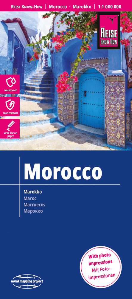
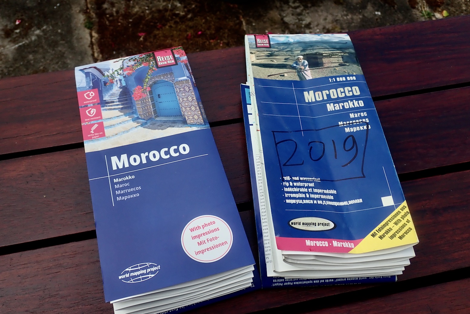
In a line If you have the previous edition, save your money – this time round they’ve made more changes to the cover than the actual map itself.
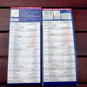
Note: in December 2022 a traveller had his RKH mapconfiscated at the Ceuta border because it showed ‘Western Sahara‘ – (like all other paper maps, afaik). Actually the back cover (see below right) always gave the impression it is all Moroccan territory, but inside they mark the ‘Moroccan Wall’ and the Polisario ‘Free Zone’, which is correct and more detail than most maps, but might also get up the Moroccans’ noses.
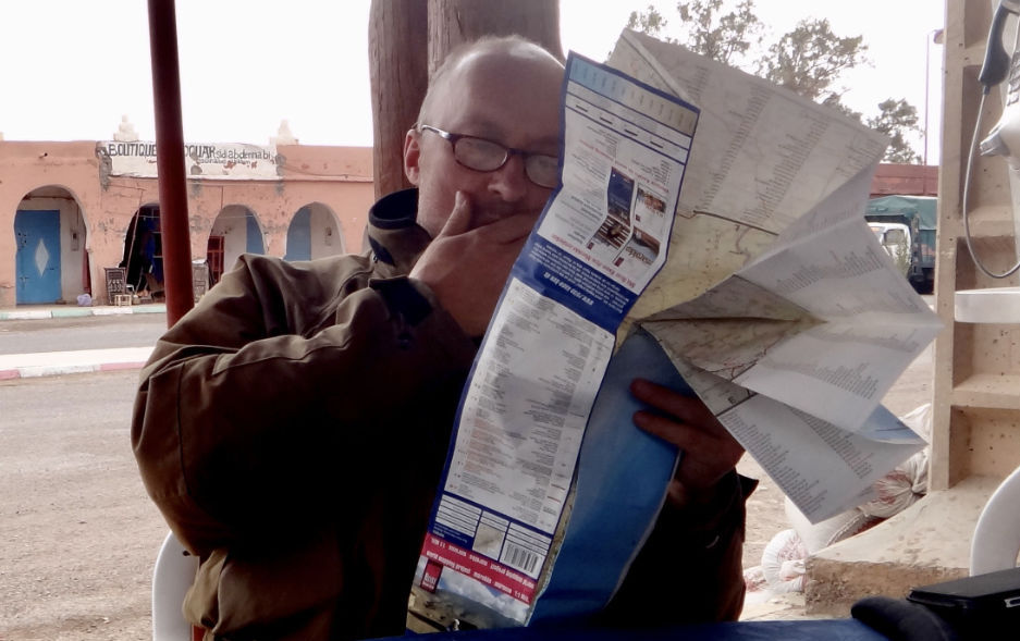
For the very latest mapping digital, OSM updated by users (used by Garmin and many others) is useful. But not everyone gets on with digital maps which are far from perfect of accurate, At the planning stage you can’t beat a paper map spread out before you. Out of habit I routinely carry a 2019 RKH out there, though almost never refer to it now as i know all the southern roads. I have much more success finding unknown pistes as well as verifying newly sealed roads from aerial imagery. As you can read here, the German Morocco Reise Know-How (RK-H) is one of the least bad paper maps for Morocco. It’s double-sided, the plastic paper is tear-proof and compact at 70 x 100cm, and it has an intuitive 1:1m scale (1mm = 1km). They also show both old/new road numbers which changed in 2018, but unlike Europe, this information is of little use in Morocco (* see bottom of page). In 2023 RK-H published the 13th edition of this map. The big question is, given the amount of road-building going on in Morocco, is it a properly updated edition like the previous one, or just a new cover with a few updates, as Michelin like to do? The answer is that in the south there appear to be virtually no changes to the actual mapping in the 2023 edition.
What they say Reise Know-How maps are characterized by particularly stable plastic paper that can be written on like paper, even with a pencil. The cardboard cover is detachable so that the card can easily be slipped into any pocket. A protective cover is not required. The cartographic presentation focuses on the most important information for travelers and is particularly easy to read. Colored elevation layers are used instead of hillshading.
Contour lines with elevation information
Colored elevation layers
Classified road network with distance information
Sightseeing features
Detailed local index
GPS accurate
degrees of longitude and latitude
Legend in five languages (German, English, French, Spanish, Russian)
Einklinker Western Sahara
Larger places also in Arabic script
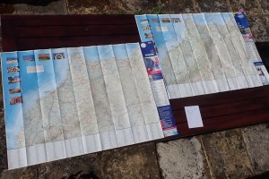
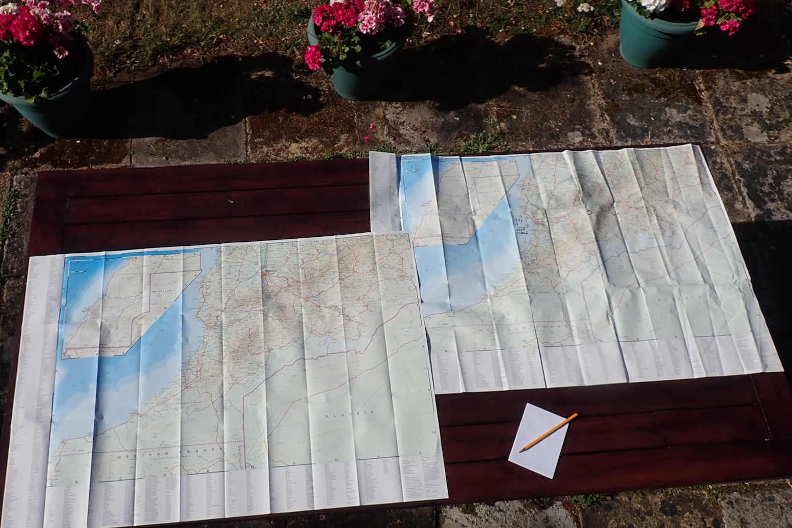
With the 2023 edition laid out alongside my crumpled 2019, what’s new? The cover; that’s about it, but it does include a redesign of the back cover too! Even the decorative pictures on the northern side of the map are unchanged. I may have missed some of course, but a few minutes scanning familiar roads and pistes in the south brought up precisely two changes, maybe three. Everything else appears identical.
2019 – 2023; spot the difference. The notepad is tellingly blank.
1. What was a yellow ‘Secondary Road’ for Route ME4 (Korima Pass in Morocco Overland 3) has now changed to ‘Track’ although it was actually a ‘Gravel Road’ imo. It suggests a user’s correction was actioned, but ironically it’s now sealed up to KM41 or beyond. I bet there are many more sealed roads let alone tracks on the nearby Rekkam plateau. 2. Another former road they’ve admitted was a piste all along is the R704 (Route MH1) High Atlas crossing from Dades Gorge to Agoudal. Again, the irony is that piste is about to be sealed too! Thirdly, down in WS in the bottom left corner they switched ‘Laayoune’ with ‘El Aioun’ on the main panel in line with the inset; it was probably a typo.
In your dreams…
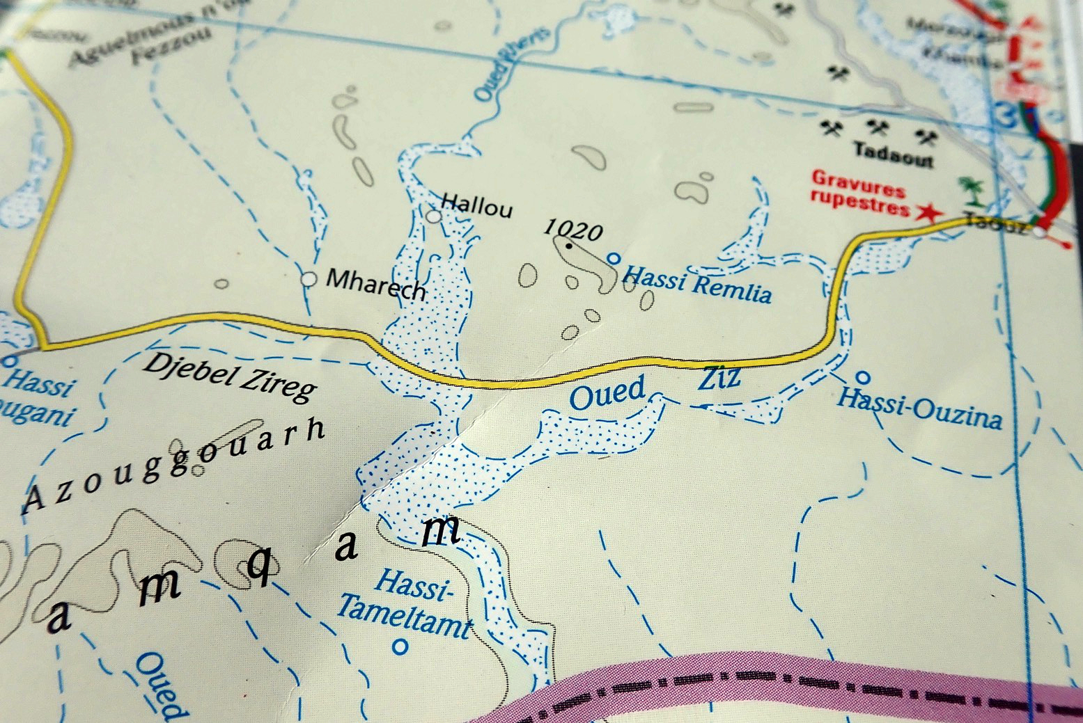
Elsewhere, right across the area I know well (not the north), pistes and even roads are still missing (Route MW6 to Labouriat) while many more pistes have become roads, in some cases over a decade ago, eg: Routes MW1/2/7 to Mseid; Route MH6 from Aguim as well as Routes MH7/8 south and west of Asakoun and Route MH4 Jebel Saro, etc, etc. Old edition and new, Route MS6 (left) is shown as a secondary road all the way to the Sidi Ali Tafraoute (bafflingly shown as a well: ‘Hassi Fougani’ on the map). Imagine arriving at the notorious Rheris crossing in your campervan! But west of Sidi Ali they miss out the well-used track carrying on directly to Zagora just south of Oum Jrane. And I’ve just noticed in the WS panel on both editions they’ve shown the 1000-km Tindouf Route as sealed all the way (via the PFZ no less) to Zouerat, complete with bypass! No wonder Moroccan hats are confiscating this map at the border. You can understand them not keeping up with all the asphalting, but the practise of calling a piste a road is hard to fathom. Where do they get this information – QAnon? These are just a few of the glaring errors that jumped out at me. There are loads more in the Anti Atlas, plus areas depicted as forest which are barren mountain hillsides and contour shading that jumps in 300- and then 600-metre stages. That means within one shade the elevation could change by nearly 2000 feet. Not a great map for push biking then.
To be fair the previous edition did appear to be a genuine update with tangible changes but this edition is near identical to its predecessor. And I know the Michelin equivalent follows the same practise of ‘cover updates’ and can be just as flawed, last time I looked. All the others maps for Morocco are even worse. Sadly, this appears to be the state of paper mapping in the early 21st century – the money no longer exists to update maps properly, nor even action users suggestions. Good thing then there is Morocco Overland with Updates & Corrections as well as the Horizons forum taking up the slack for the adventurous traveller. I gave the 2023 map away.
Got a 2019 edition? Save your money then.
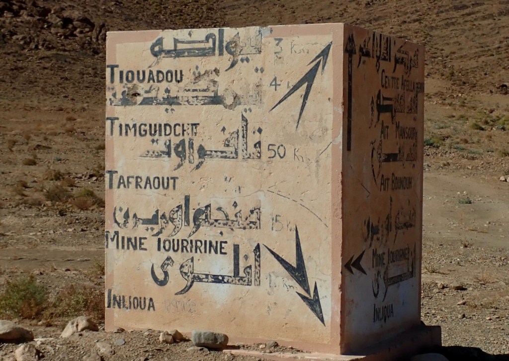
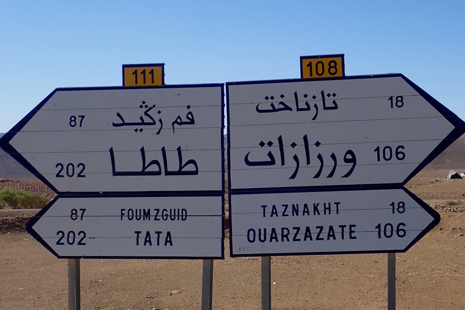
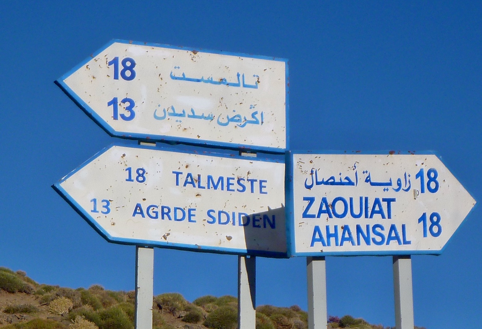
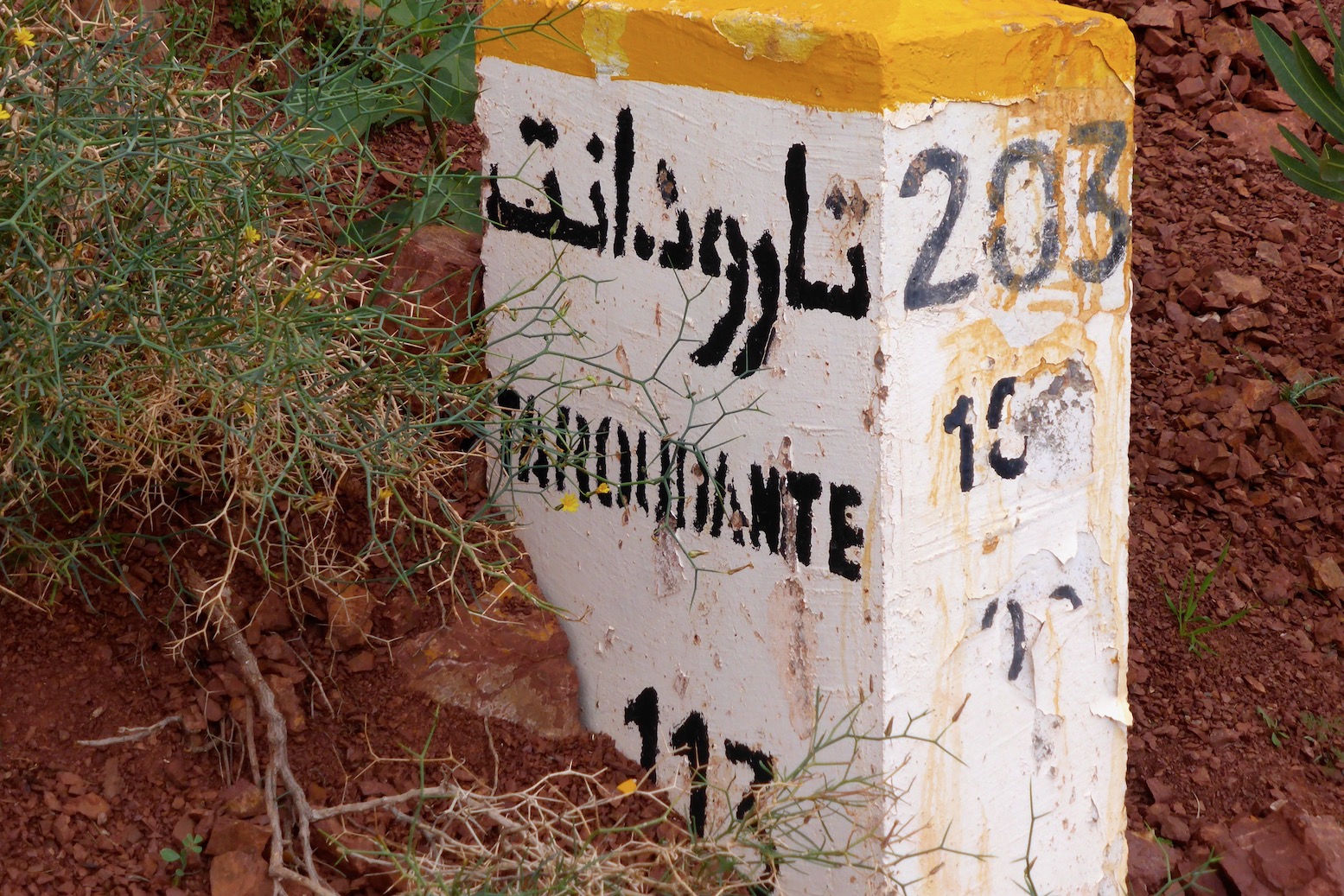
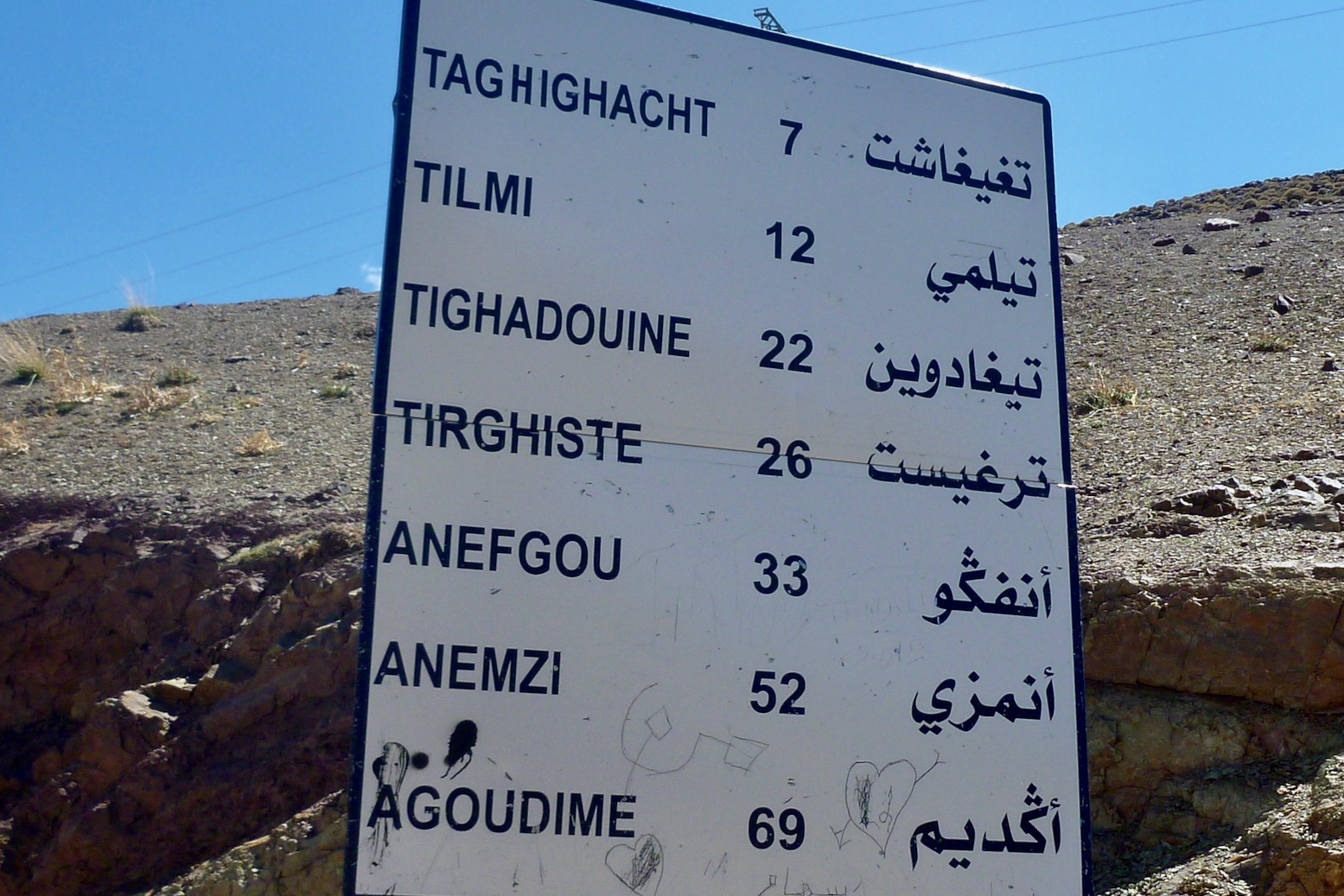
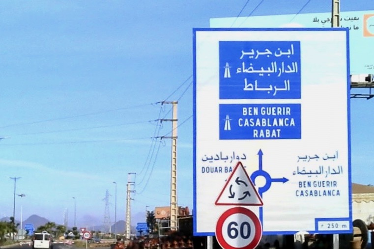
* Are Moroccan road number even useful? Unlike in the UK and Europe, in southern Morocco road numbers rarely appear on road signs, be they at junctions or showing distances. First photo is a positive example, below. So knowing – or wondering if – you’re on the R504 now called the RN4 will be near impossible to ascertain on the ground and therefor of little value. Of course a road sign saying ‘Foum Zguid 87 [km]’ will be what you want to know. Infrequent and often weathered mileposts dating from the colonial era may show a road number. Example: the R203 Marrakech – Taroudant road via Tizi n Test, now called the RN7. In most cases in the 2018 shake up, only the prefix changed so the ‘N10’ became the ‘RN10’ and so on, but elsewhere if there was a new number like the old N12 now called the RN17, I am fairly certain no one has since gone around Morocco updating mileposts and road signs.
I was involved as one of the guides on the recce for the Hard Way Home back in October 2022, repeating the course again just before following the actual filmed event in February from Ouarzazate to Marrakech. The first three Grenadier customers picked up their brand new cars from the middle of nowhere in Morocco and drove them home. The 500-km route we mapped out was a spectacular mix of mountain and desert, but as you’ll see, with snow down to 1800 metres, bad weather disrupted the actual launch event. ‘The Grenadier Route’ will be in 4th edition of Morocco Overland, due early 2025. see also: Scott Brady from OJ in the Ineos.
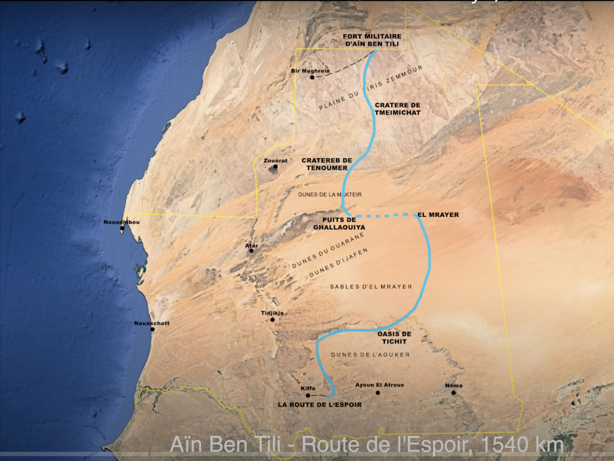
Mauritania and Citroen 2CV specialist, Cyril Ribas supports his son Evann as he cycles his Gorille e-MTB fatbike from Aïn Ben Tili on the PFZ frontier south for over 1500km to the Route d’Espoir highway paralleling the Senegalese border. Cyril is recharging spare bike batteries as he tracks his son’s progress while keeping out of sight. Evann has to keep the e-bike in Eco power mode to extract up to 130km in a day. The northern half of the route is relatively flat but from Ghallaouiya, east of Guelb er Richat they must cross the Mrayer Sand Sea before entering the tussocky region leading down to Tichit and the Aouker basin. As you’d expect, there are some sublime drone images of the immense desert.
Fyi, I do this all on a desktop computer or a laptop at a pinch. It may well be possible on a mouseless smartphone or tablet but would drive me nuts. Also, note this is a reliable but labour intensive procedure which may not align with modern ‘I-want-it-all-I-want-it-now’ sensibilities.
Particularly in the desert, these days aerial or satellite imagery from Google Maps and ESRI (Bing, etc) is so good you can spot passing vehicles and whether a road is sealed, a car track or even a little used donkey trail. This is the sort of age-sensitive information you won’t always get from maps, digital or printed. When planning new off-road routes, I find tracing the probable orientation in advance helpful for all the obvious reasons. It also provides a good preview of the area and what features I might come across (mineral mines; climbs, gorges, junctions).
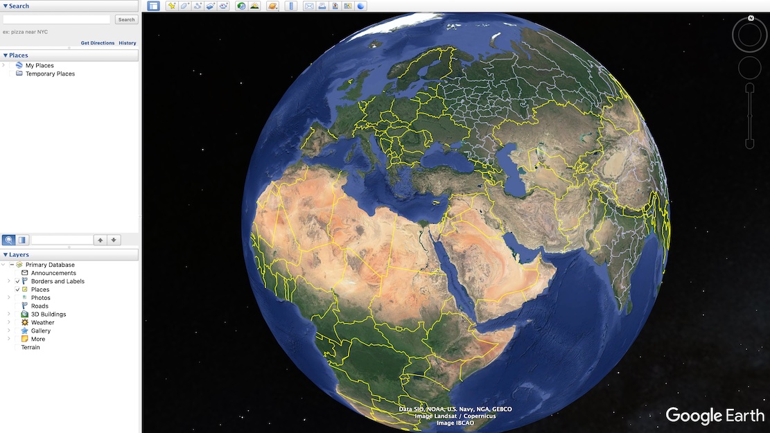
Using Google satellite mapping services, tracklogs can be drawn, saved and exported in two ways: Using Google Earth Pro – no Google account needed but your annotated maps won’t be automatically saved online/in the cloud. I’ve drawn tracklogs using this method in Moroccan hotel rooms prior to setting off along remote tracks (above left), benefitting from the reassurance of knowing a track exists and where the key junctions are. See the images and captions below for more. Note: this is a reliable but labour intensive way of doing it but does not align with modern ‘I-want-it-all-and-I-want-it-now’ sensibilities. You can trace a route much more quickly off something like Garmin Basecamp using the ‘Create a Route’ tool. It takes seconds. But afaik Basecamp doesn’t have an all important satellite layer to verify against an actual track on the ground. Somethng like the subscription Gaia app can do this, but you have to pay.
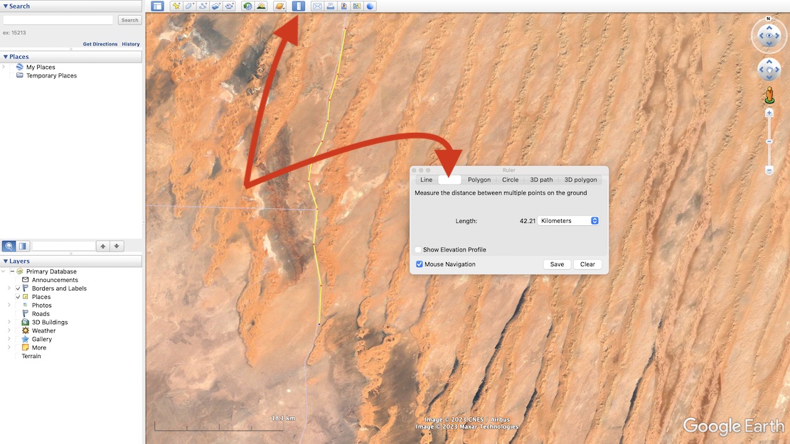
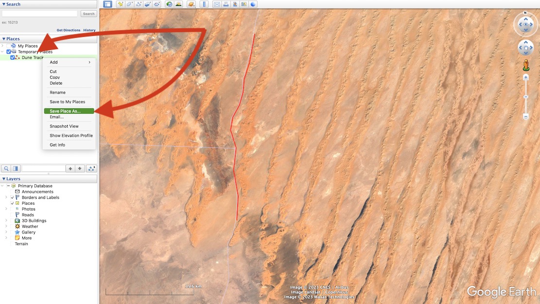
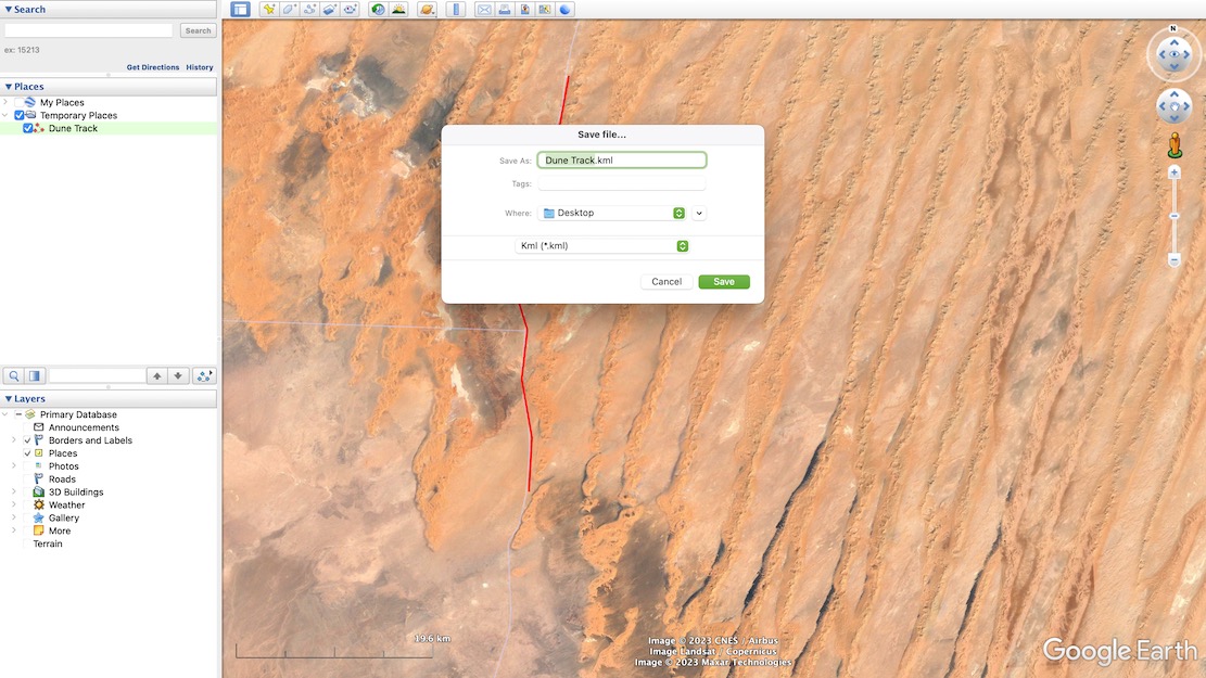
First: download Google Earth Pro (it’s free).Either search for your place or zoom in on your start point. Now choose the Ruler in the top tool bar and then select Path (blanked out above when selected). With your mouse trace a path click by click, point by point along the track you want along the ground. The extent of precision is up to you. When you’ve finished, Save.The tracklog your drew is saved. Now right-click and choose Save Place As…It saves as a .kml or .kmz file (same difference, more or less). You may now need to convert the Google .kml file format to .gpx to import into Garmin satnavs and smartphone/phablet nav apps. Garmin BaseCamp (free) can do it, or use also free online converter like GPS Visualizer. Import the .gpx into your device and you can now set off to navigate your MYO tracklog.
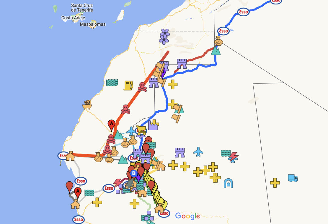
With a Google account (…@gmail, etc) you can save your routes on a Google ‘My Map‘ as has been done for the Trans Morocco Trail. It can have as much detail (tracklogs and waypoints) as you like, but Google ‘My Maps‘ are limited to about 10 layers. Layers are a bit like folders (with infinite capacity) and sometimes you have to shift tracklogs or waypoints into a pre-existing layer to free up a new layer so you can import more. This map can be shared or exported but will be saved online and be viewable/editable wherever you have internet.
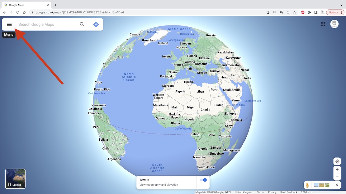
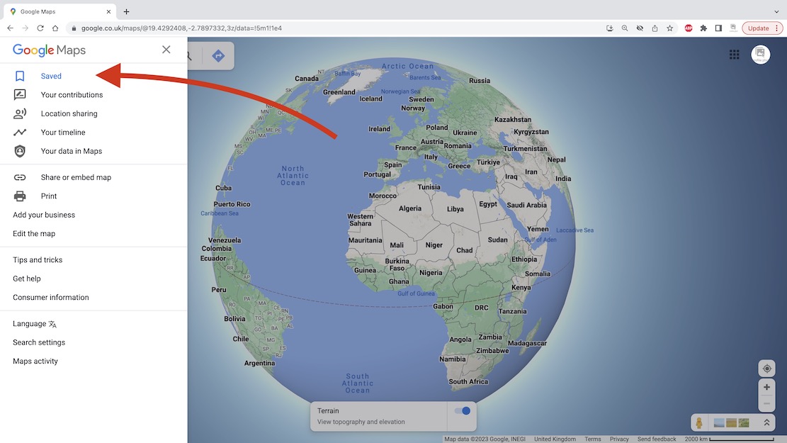
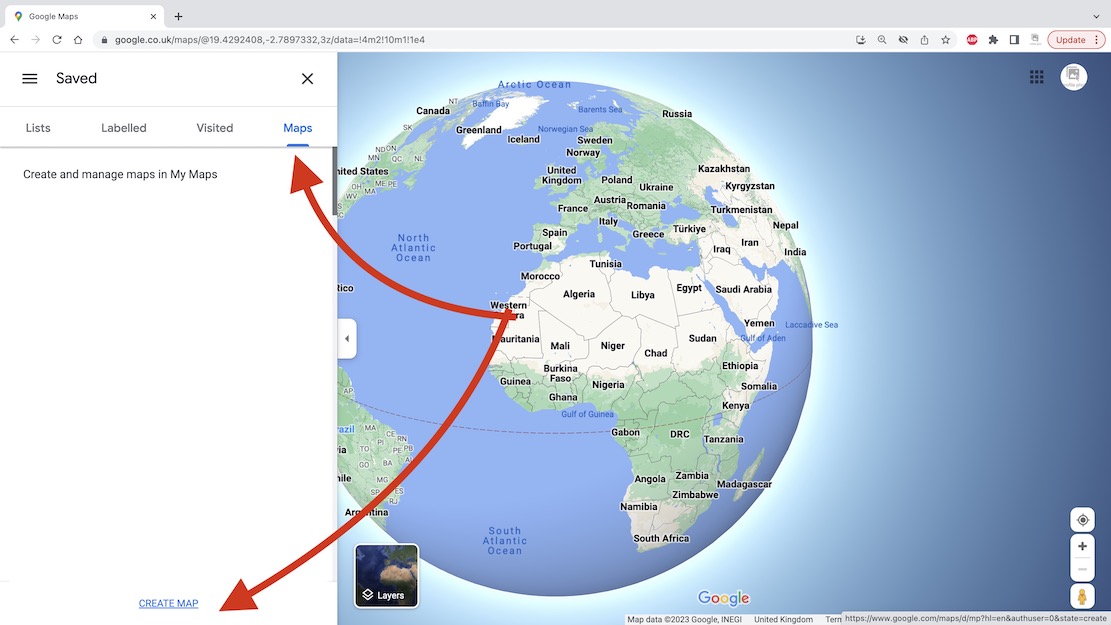
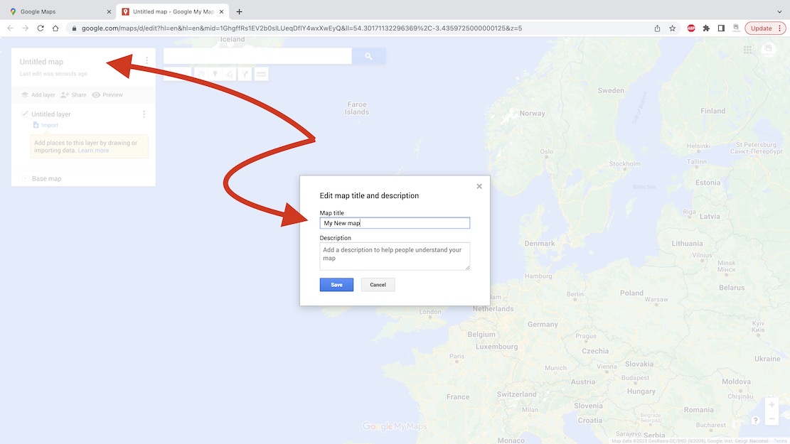
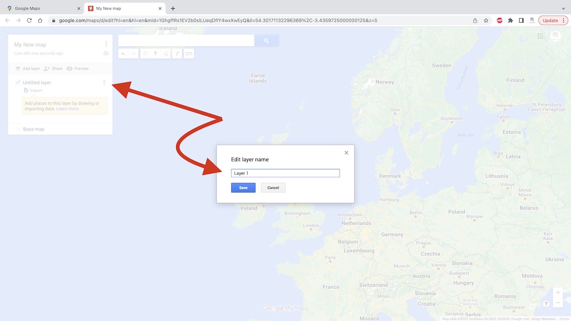
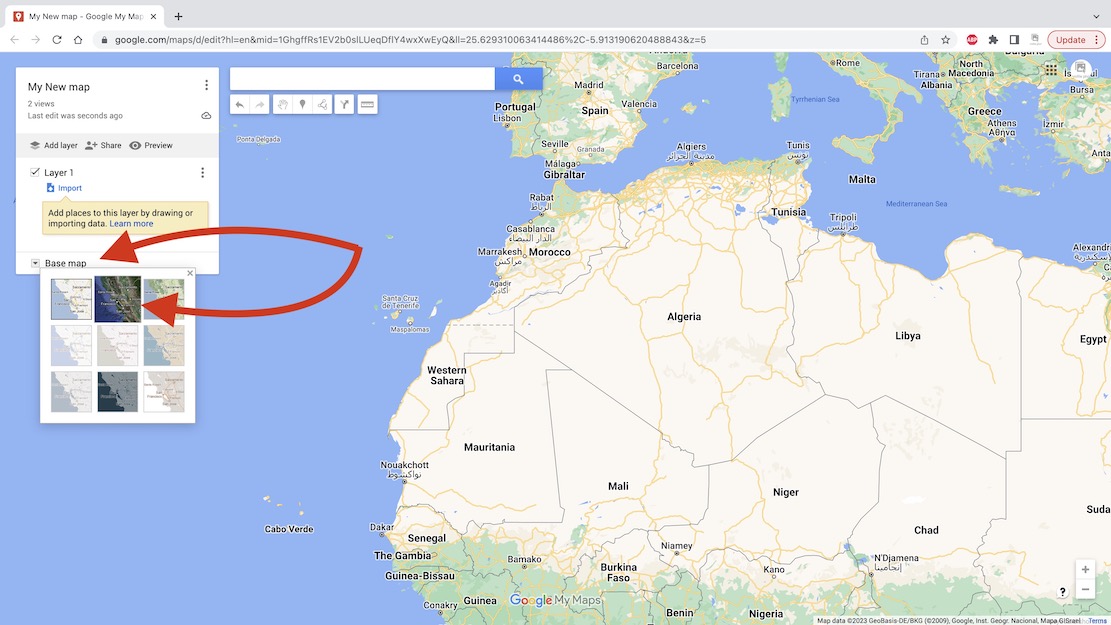
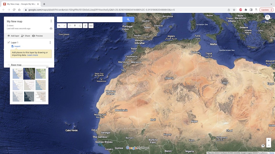
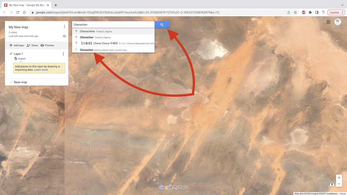
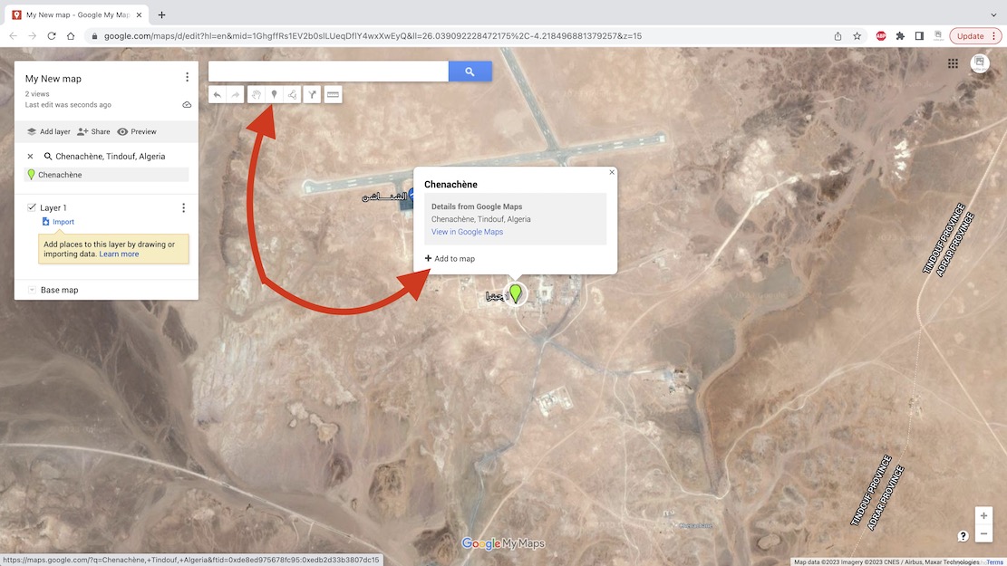
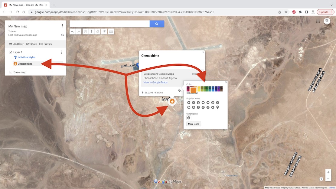
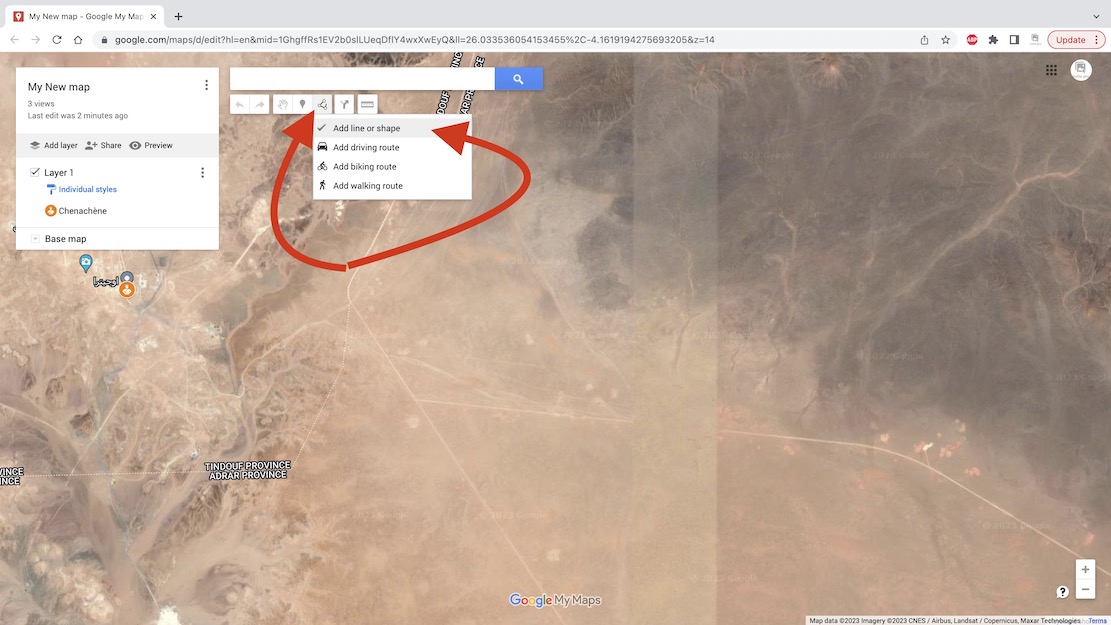
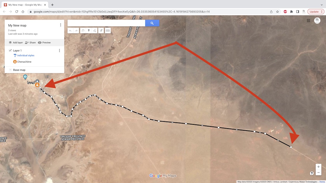
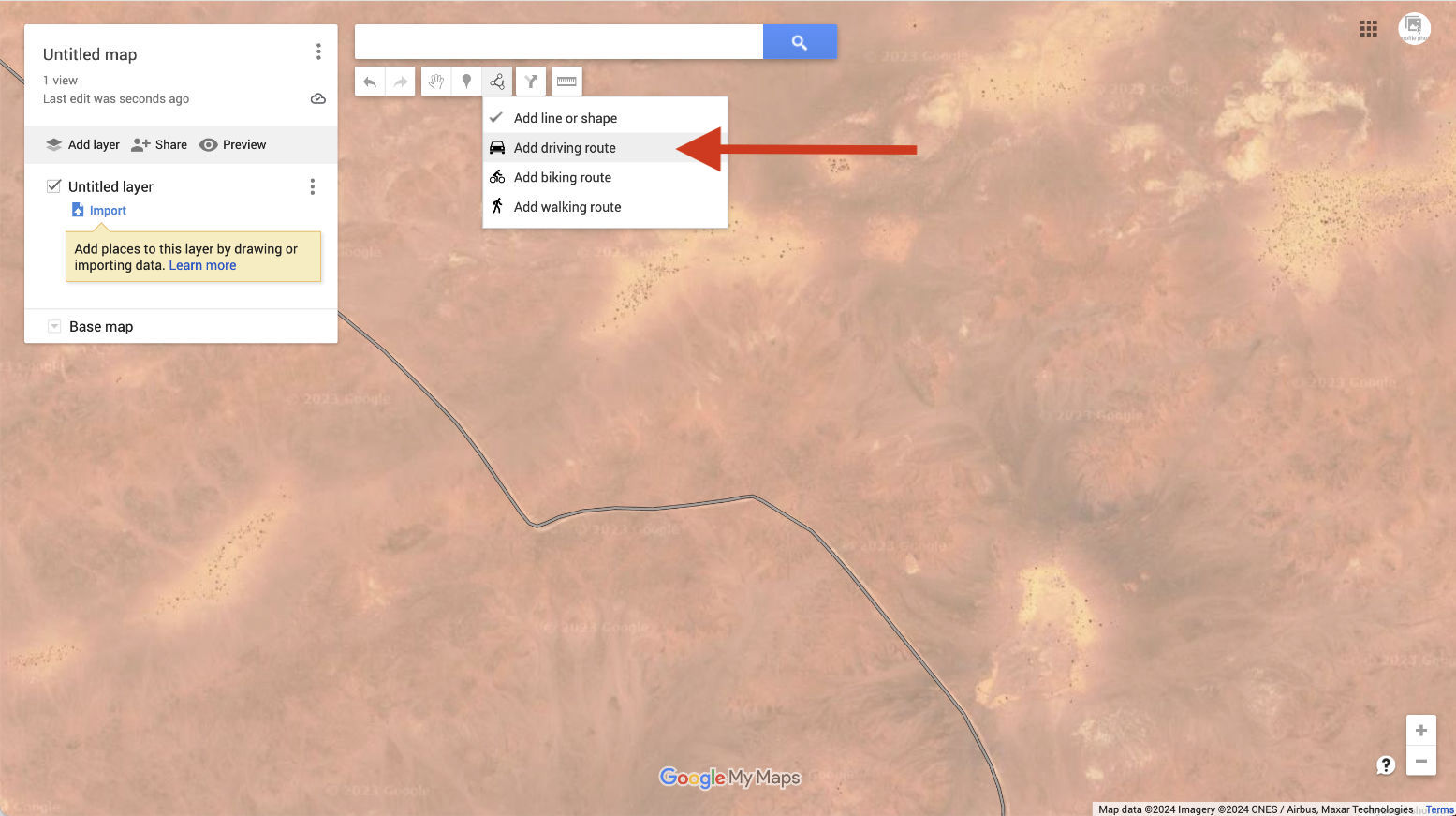
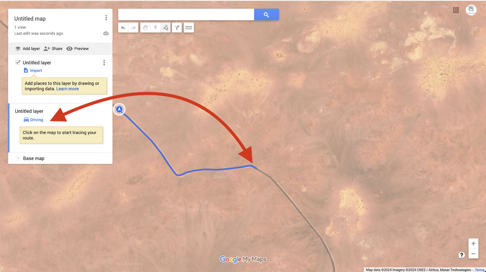
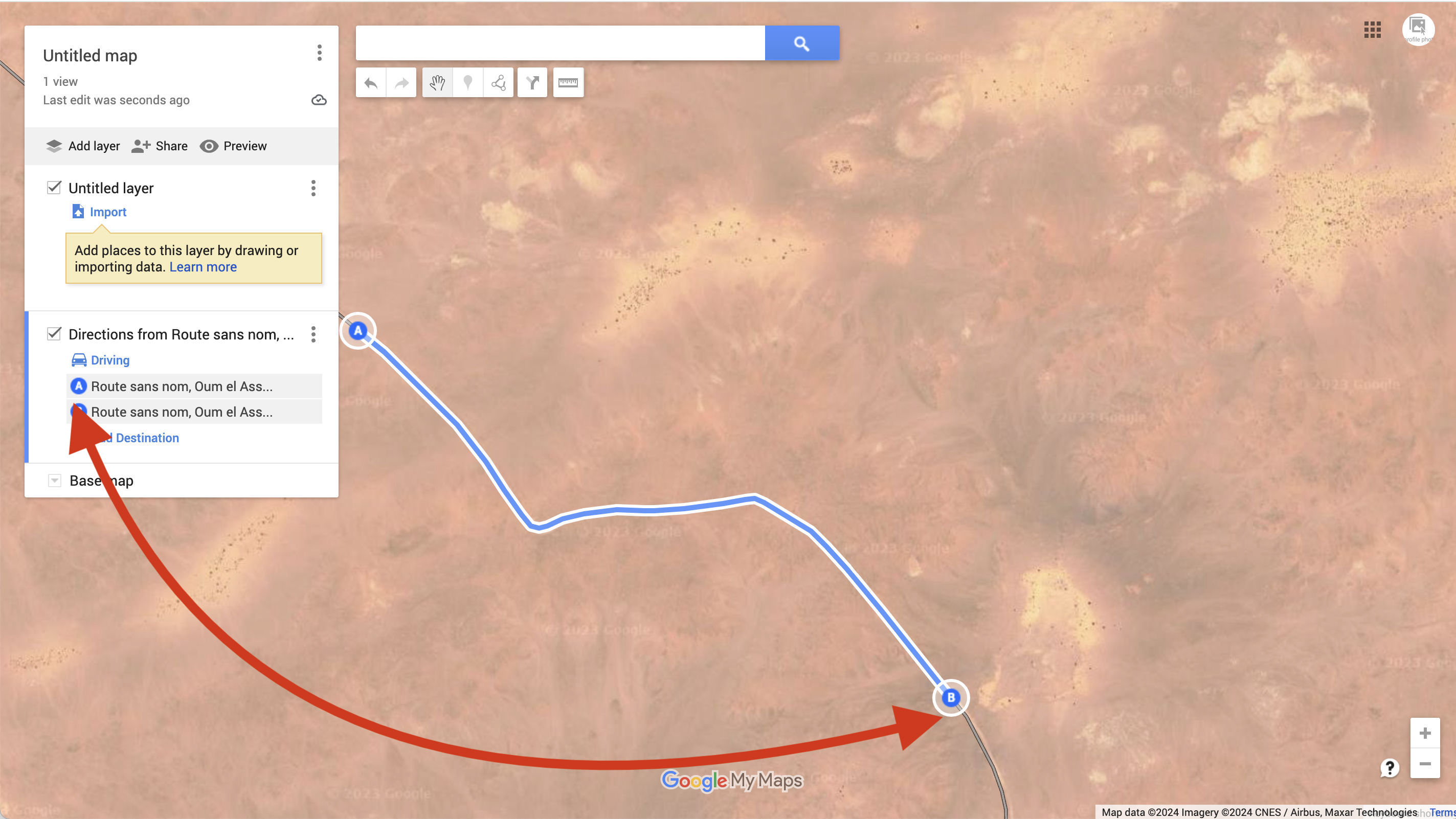
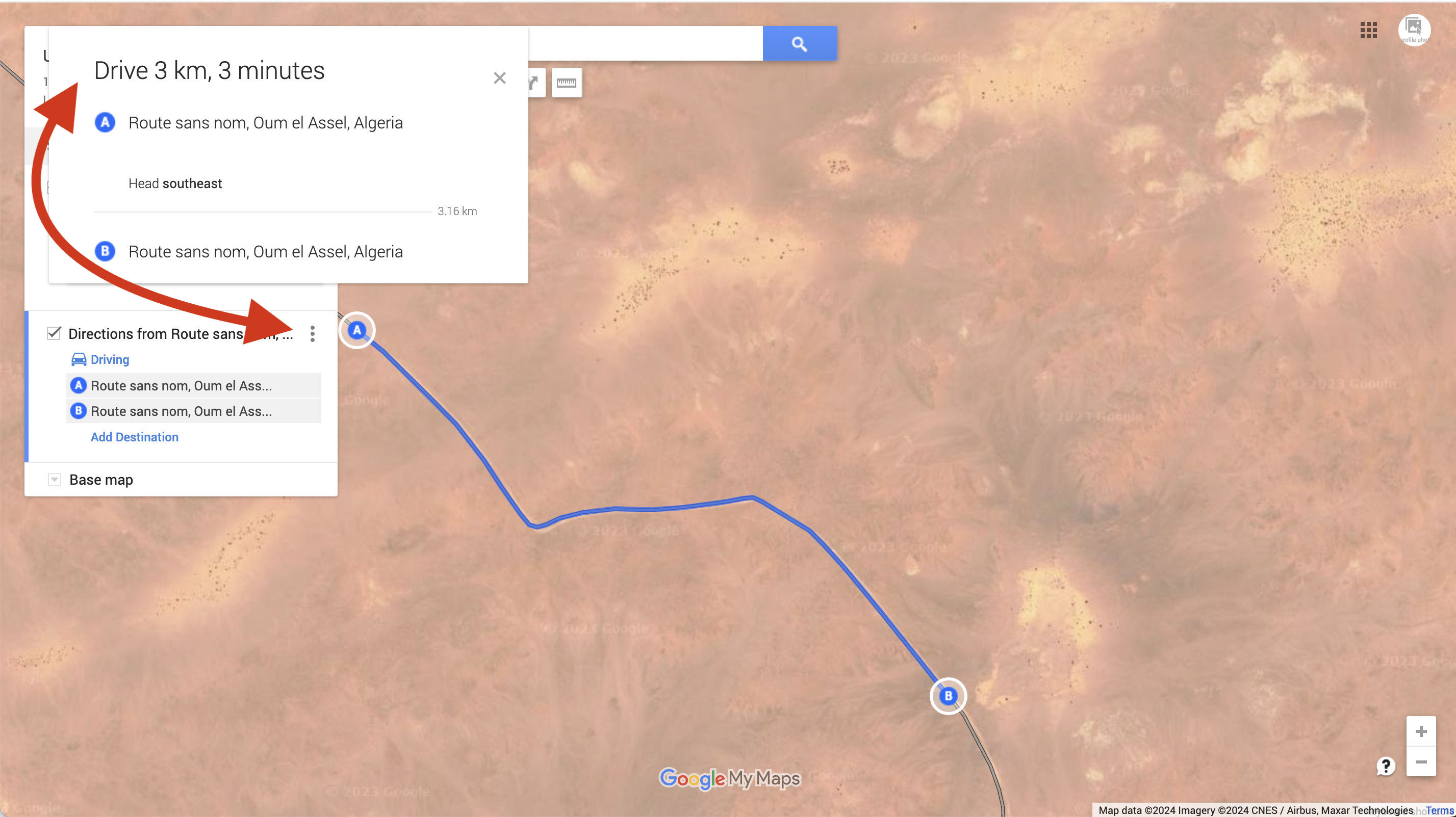
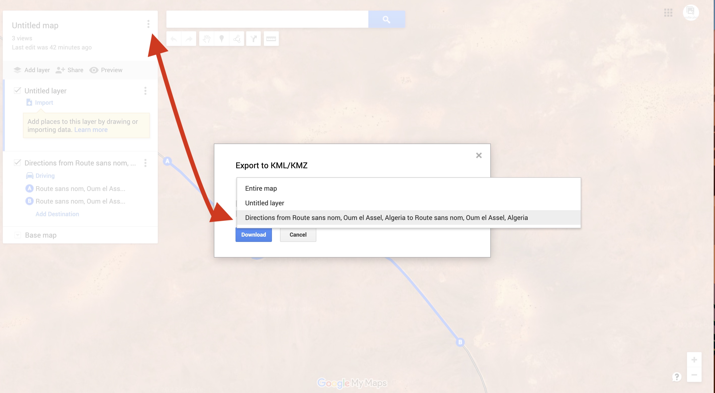
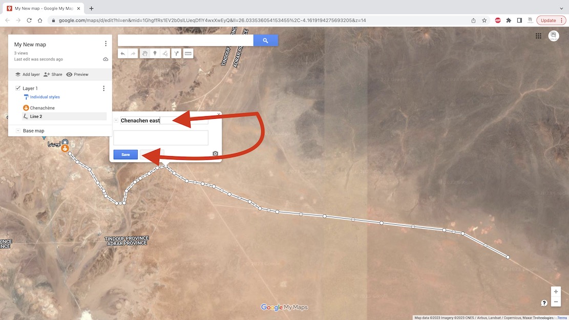
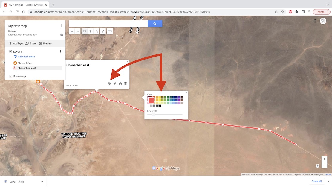
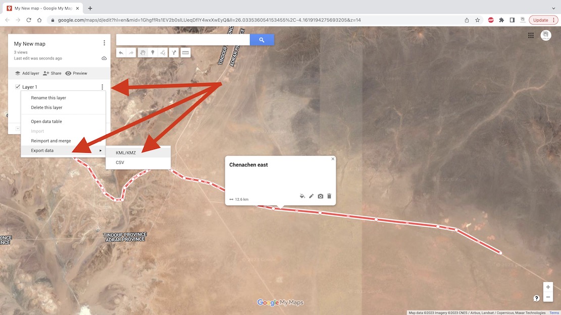
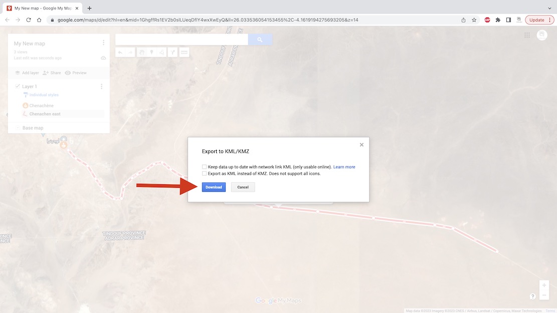
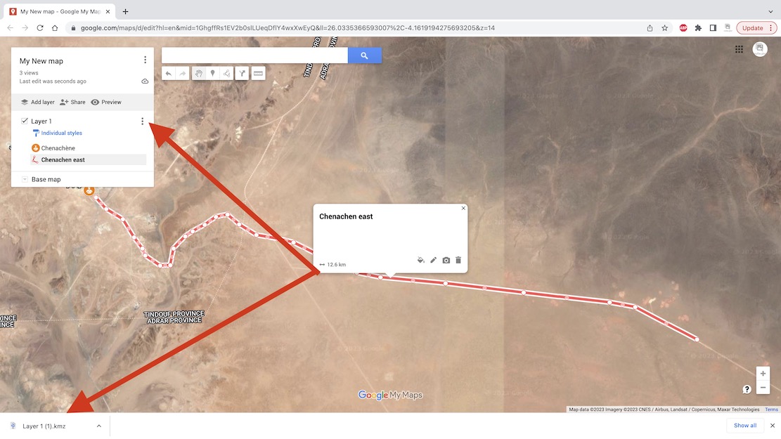
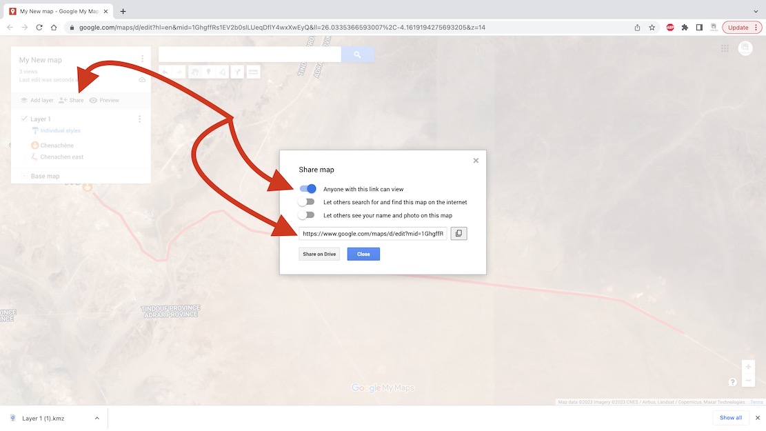
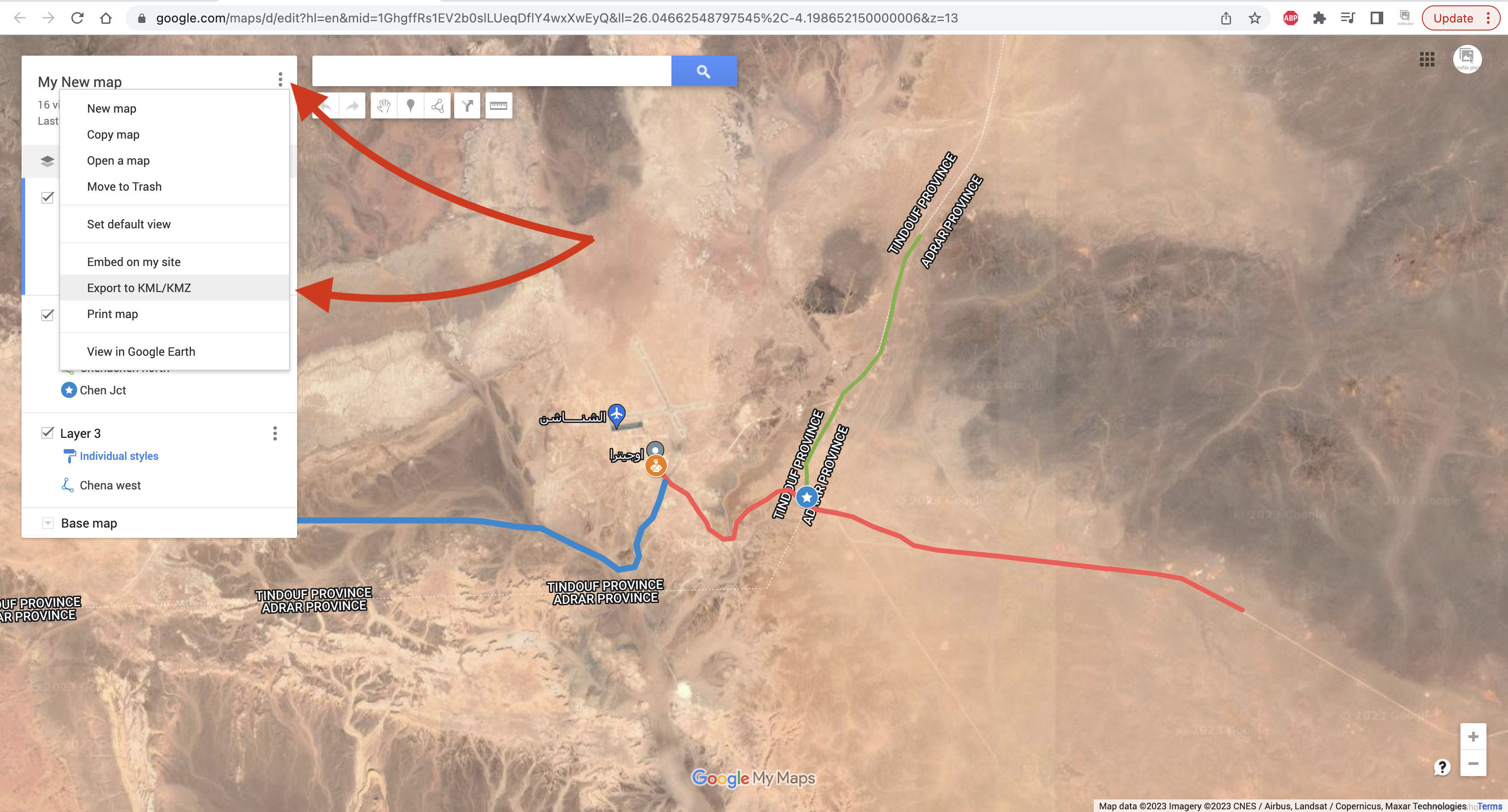
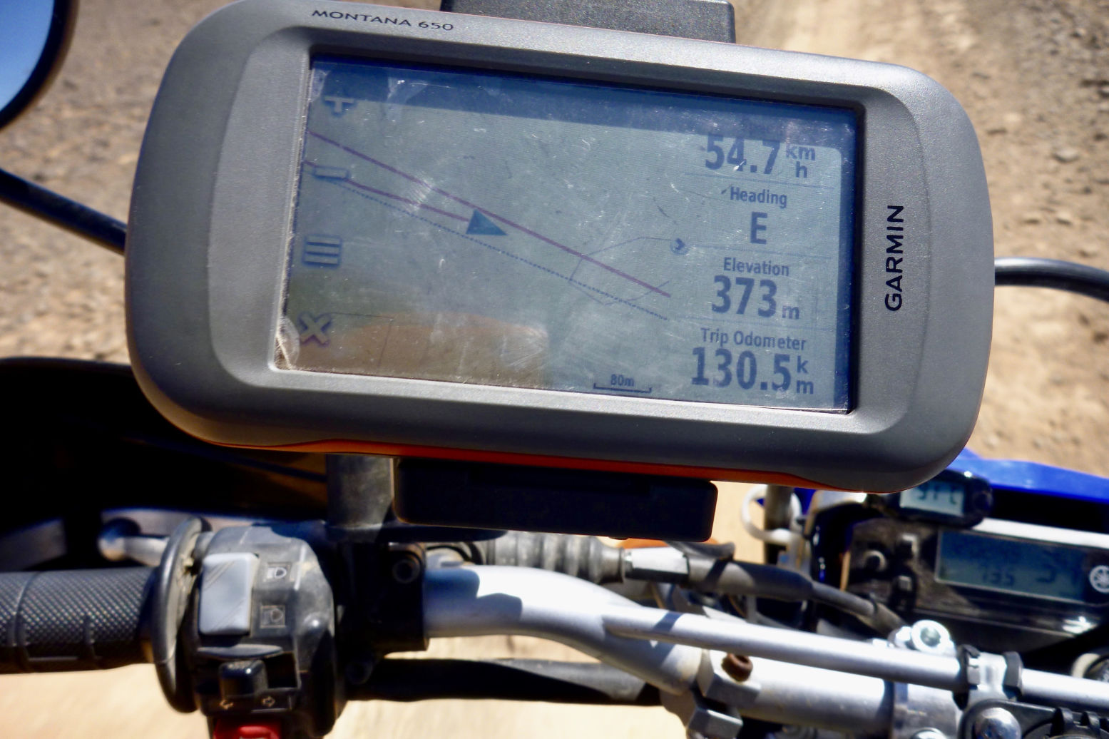
Open Google Maps and once signed in, click the Menu top left.I already have Saved maps so look for My Places or My Maps and click.In the sidebar click Maps and Create New Map.You can give your map a name and save. Google autosaves every few seconds so long as there is internet.You may also like to Name your first layer in your map and Save.To trace a tracklog you need to change the map’s base layer to Satellite.It looks like this – people often call this ‘Google Earth’ though that’s actually the app above.If you don’t know where your start point is and it’s waypoint, use Search. I chose Chenachen base, as close as I’m ever likely to get to this place.It’s not strictly necessary, but click Add to Map to save your searched place as a waypoint. You can also add and name a waypoint anywhere using the toolbar above (top arrow). Useful for important junctions, I find.Right-click and you can edit a waypoint’s Icon and Colour for better visibility and classification.Now, to draw a tracklog along a desert track, click the Draw icon in the toolbar and choose ‘Draw a line or shape‘.Trace the track with successive mouse clicks. As before, levels of precision are up to you. Unless you are going cross-country there will be a clear track on the ground.Or, if the track is shaded by Google, it means it is ‘routable‘. You can automatically trace it, up to a point. This method is much less tedious but hard to control.Click on a start point on the shaded track. It will be saved as ‘Point A’. A new ‘Driving’ layer (not ‘Import’) will be created. Now follow the track with the cursor; it automatically highlights it in blue and keeps going as long as it lasts. The problem is, the track may not go the way you are.At the end click again on the track and ‘Point B‘ is created and the track’s directions are saved as whatever Google calls it: ‘route sans nom’ in this case.Click on the 3 dots and the distance and other data are shown. You can export this Driving Route (not a hand-drawn track) by clicking the 3 dots alongside the map’s name at the top. Choose the layer you want: ‘Directions from Route sans… and it will save as a Google format kml file which you can then convert to .gpx to be read by a GPS or non Google mapping.Back to hand-drawn. Click the track’s end point to Save and give your track a name.Again, you can edit your track’s width and colour to make it more visible on screen.The contents (waypoints; tracks) of an individual layer can be saved and exported by clicking on the layer’s 3 dots sub menu, choose Export Data and save as KML/KMZ.Download your kml or kmz to the desktop.The layer’s data is downloaded as a kml/kmz.You can also Share your data online in various ways.If you have saved several layers and tracks, you can save and export the entire built up map as a kml. Then convert to .gpx as explained above and import into your nav device.Above, the top red line is the tracklog I traced the night before. The second red line with an arrow is the ‘live’ or ‘true’ tracklog I am recording. And the grey line below is the same unverified track as depicted on my digital map and which sort of eliminates the need for your own tracklog, assuming you trust the map. In some cases, not a good idea.
Short version: Gaia detailed mapping on big tablet screen better for following, but Garmin 680 better for easy and reliable recording with minimal tapping faff.
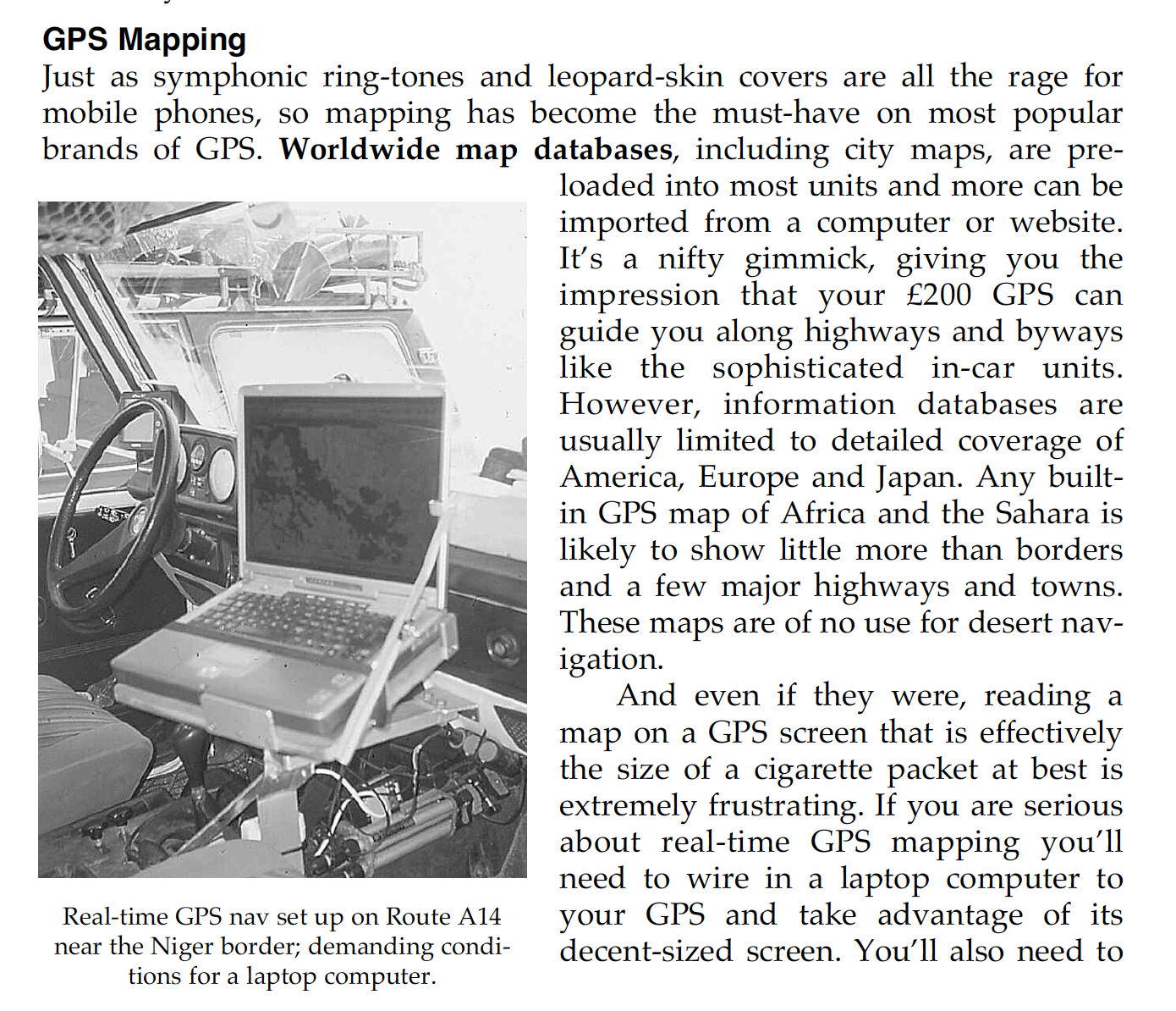
In the early Noughties I recall meeting a lone G-Wagen near the Monts Gautier in far southeastern Algeria (Route A14). They’d hooked up their GPS to a laptop for big screen nav. It was the only sensible way to do it in a car if you wanted that sort of thing, but would have been hard on the spinning HDD drives of that era.
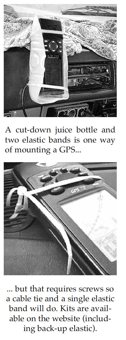
I’m not sure I even owned a laptop at that time. Instead we managed to research and log the scores of routes in Sahara Overland with a hardback jotter and a Garmin 12 or a ‘big screen’ 76 mounted in a sawn-off juice bottle and an elastic band. When needed, I transposed the lat/long reading to the then still excellent IGN 1 million maps using a ruler or a more accurate roamer grid (below).
You could then pinpoint your position with adequate accuracy for the expansive Sahara because, unless you were looking for a cache (which we’d buried the previous day for Desert Riders), that was good enough to locate yourself. Otherwise, as the Austrian guys had done, you had to scan and carefully calibrate your paper maps (taking into account the map’s projection format) so that the moving cursor dot would mark your precise location.
Fast forward 2.2 decades… … and I was driving Duncan Barbour on a recce job in Morocco (more of which later) while he logged our convoy’s route on an iPad. I had my hands full and so assumed his setup was off his phone but in these phablet days, his SIM- enabled iPad was all he needed, along with an app like Gaia GPS. In the meantime a couple of others confirmed it was no longer possible to mirror a Garmin GPS onto a larger screen, be it laptop or tablet. Perhaps because Garmin want you to buy their 5 or 10-inch Tread series from £500 to well over a grand + subscriptions. I already owned some 400 quid’s worth of 680T Montana, the Garmin handhelds which in 2010 changed the game by being able to load several increasingly better base maps and not just record tracklogs and waypoints on what in the Sahara had hitherto been an essentially blank screen.
Tefedest (Algeria). Scraps of tracks on the ‘Overland’ map layer. Not helpful (like old TPC aero maps). (Don’t start me on this ‘scraps’ thing on the OSM database…)
Since then digital mapping has improved to the point where there are topo maps based on OSM of the middle of the Sahara nearly matching the classic IGNs. Problem is, unlike the paper maps, these OSM-supported maps have been in partautomatically rendered – the discontinuous scraps of tracks are a dead give away, as above (southern Tefedest, Algeria). A year later and I see I was quite wrong about this. These disconnected tracks and paths – some less than a hundred metres long, have actually been added – presumably remotely from aerial imagery – by over-zealous OSM contributors whose understanding of ‘ground truth’ is… different. I have since found them all over southern Morocco on the OSM database, often with no path visible on any of the aerial layers and very often the work of one contributor who just does not get it. It can sure make it hard to see the main track among all the clutter. Anyway, even with the on and off lifting restrictions on overlanding in this part of Algeria, such maps will still take forever to be completed with genuine tracklogs while the IGNs show it how is was (and still is). But with Gaia GPS Premium it’s also possible to download high-res WYSIWYG satellite imagery to use offline (see bottom of page). Plus there’s nothing to stop you travelling with paper IGNs or similar, or scan of them on your device.
Tablet + Gaia GPS app vs Garmin Montana GPS
Tablet + Gaia good
Cheap to buy/lose/break
Can do internet/phone/camera etc
Big bright8″ screen
Loads of Gaia maps (once subscribed)
The desktop app is much easier to navigate (keyboard/mouse)
ESRI (or non-Google) sat imagery downloadable too
Masses of memory (1TB)
One tap track recording
Loads of (messy) public tracklogs on the Gaia map (can be ‘muted’)
Works on my iPhone 7 (but not Android phone)
Gaia GPS free Topo map is nicely rendered for an OSM
Samsung tablet/Gaia less good
Gaia GPS requires subscription for good stuff
Freezes or take ages to fire up (could be my tablet CPU?)
Gaia takes ages to get a fix
Tablets (and phones) can overheat
Baffling organisation of saved Gaia files in folders
Hard to tap and manage on the move
Hard to save precise waypoint easily
Screen decentres after inputs
Battery life: must be plugged in unless dimmed
Proper car mounts are expensive but needed
Gaia GPS app froze on my Android phone
Samsung A7 fried 2 motherboards in 2 years. Replaced with cheaper A9.
Garmin Montana + OSM Topo good Rugged build (good for motos)
If needed, li-ion battery lasts all day (or takes AAs)
Once customised and familiar, interface easy to manage
Fits in a pocket
Will do routing like a car satnav (Gaia may too)
Won’t overheat
Garmin less good
Expensive to buy
Small and dim screen
Limited miniSD capacity (32GB)
Freezes/crashes occasionally
Needs BaseCamp and other (free) Garmin apps on a computer
Easy to forget tracking, zero the trip meter, etc
‘Keyboard‘ is comparatively excruciating
It’s only a GPS + a rubbish camera
Samsung A7 Lite I decided to try Gaia GPS on my own car recce and settled on a Samsung A7 8.7 incher; £120 from Argos. It has a metal case, takes up to 1TB microSD and weighs 330g when fully charged. CPU speed is 2.3GHz, 1.8GHz Octa-Core; I don’t know if that’s a lot, but 18 months in it fried its motherboard, got repaired on warranty, then did the same at 25 months, just out of warranty. Is that normal for a lightly used Samsung tablet? Don’t know but I replaced it with a near identical A9 for just £85. If that packs up too I guess I’ll just get an iPad. My laptop and desktop have always been Macs, but an equivalent new iPad Mini starts at a staggering £750. I owned a crappy old Samsung mobile once; the A7 has the same interface so the A7’s Android learning curve was pleasingly pruned. Best of all, I was able to flog my Kindle Fire for 40 quid and remain ‘gadget neutral’ in line with current government advisories.
Handy standleHandy handle
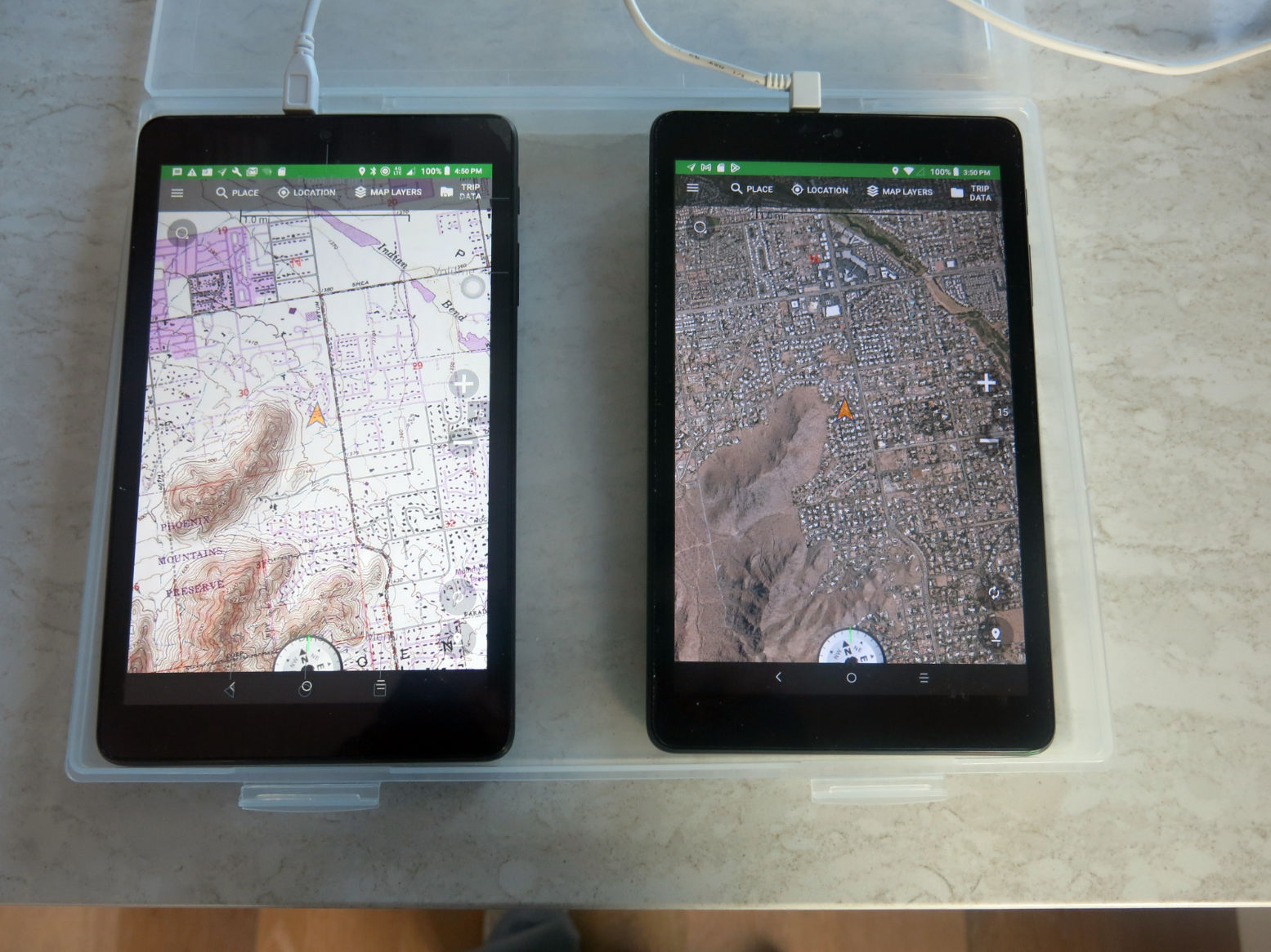
From fourbie driver CW in Arizona: a twin-tablet set up to save flipping from maps to satellite or playing with opacity due to bright sun visibility issues.
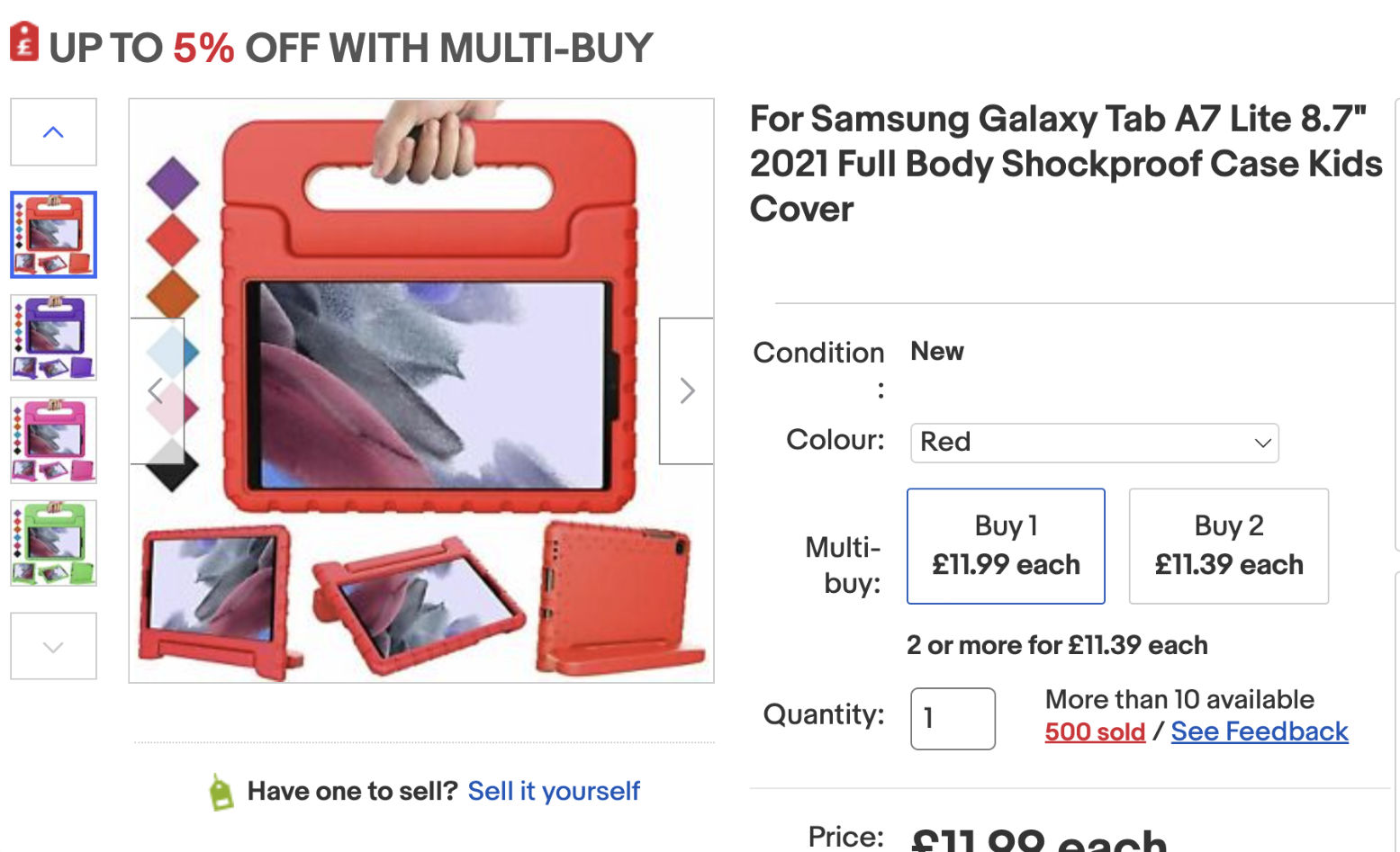
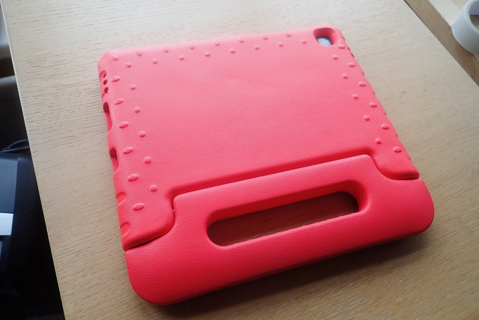
The A7 got fitted with a screen protector out of the box but the all-metal body is very slippery so needs something better to handle it. I have a RAM windscreen sucker and flange mount but was shocked at A7 RAM ‘Tough Dock’ prices which easily exceeded the cost of the tablet. In a car it’s not going to get run over and smashed, like on a bike, and I’m not rallying, so I bought child’s foam case off ebay for £12, complete with vomit-proof standle. I ended up zip tying it to a handle or rear view mirror
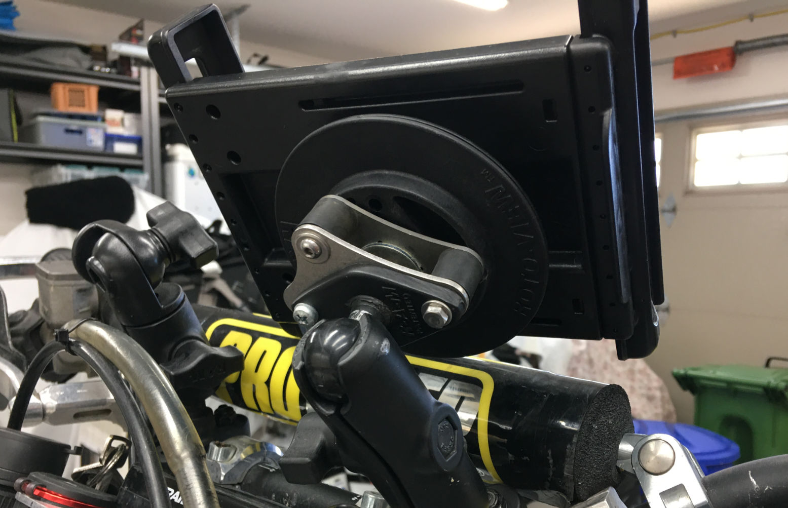
Touratech RAM mount
Adult mounts and other options One the left, the DR400 of Grant from Horizons, based in BC: another A7 on a RAM Tough Dock mount. Grant says the unit tends to droop on rough terrain, which is why people end up with Rally towers. Waterproof cases like Otters can be hit and miss he says (this is a benefit of Garmin’s Mil-810-spec Montana), though there are ruggedised tablets, like the Carpe Iter. “It runs DMD2 software launcher, which is also available for any Android device. Their unit is also excellent in sunlight, whereas the standard tablets are crap. I’m running the software now on mine, and it’s good. It launches GaiaGPS which is what I use the most.” says Grant. I do notice it has 128GB but will only take another 128. Still on bikes, Thork Racing (see YT vids) do bike-ready mounts and even roadbook-like thumb controllers to avoid trying to jab the screen with the chequered flag in sight.
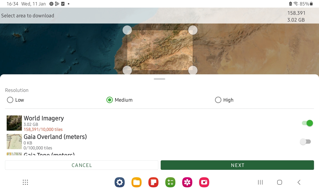
2GB for all of Morocco3GB for the book’s area in medium red ESRI
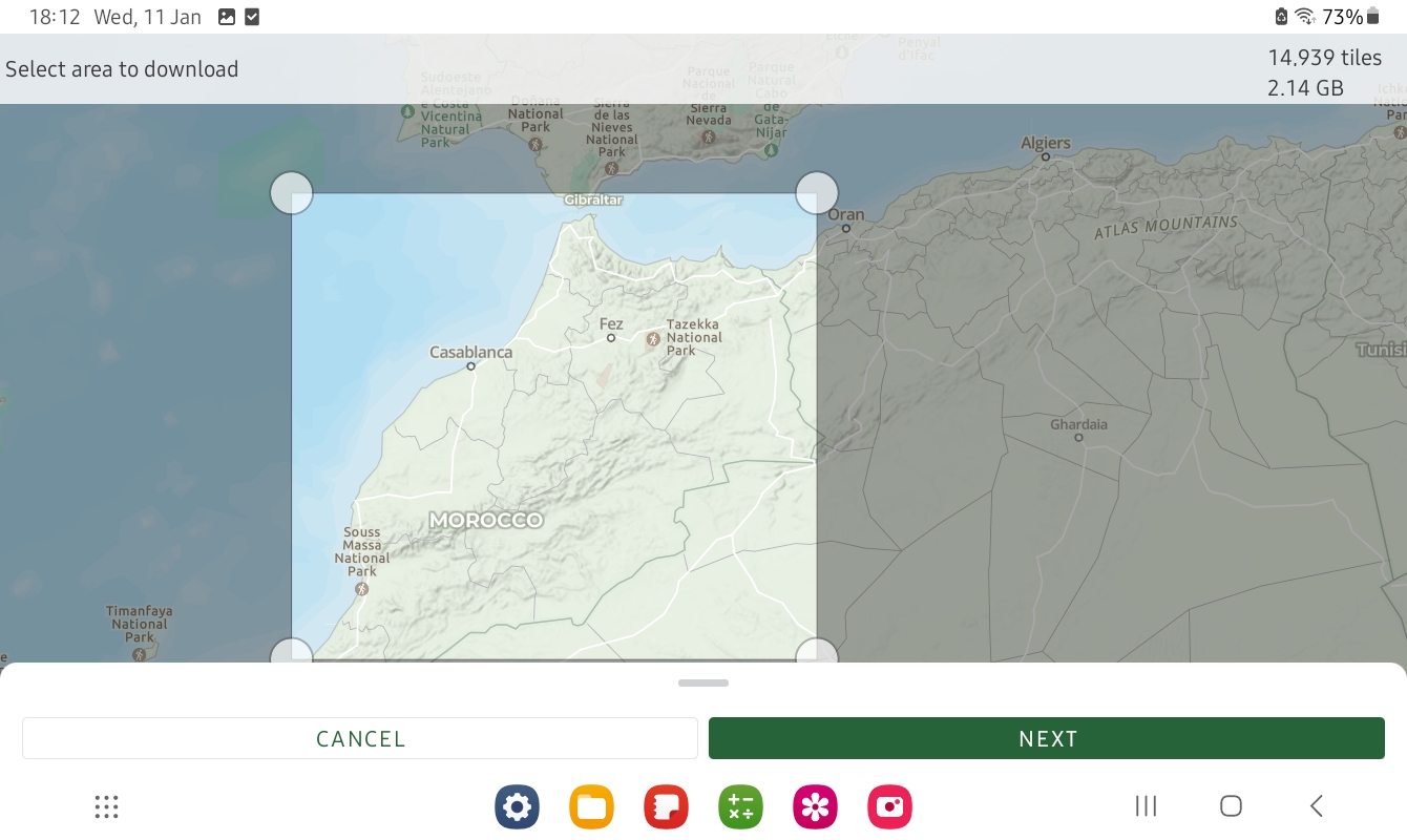
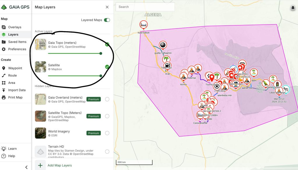
Then choose what maps you want to download so you can use your device offline in the hills. That is they key. Tap the ⊕ icon top right, choose ‘Download Map’, select a rectangular area and import, ideally into a folder if you plan to have loads of maps. As you can see in the examples above, the whole of Morocco in ‘Gaia Overland’ is just over 2GB, while a smaller area of ESRI covering about 15% of the topo map is 3GB. Full res ESRI covering the good bit of Morocco would have been getting on for 1TB. It really couldn’t be easier.
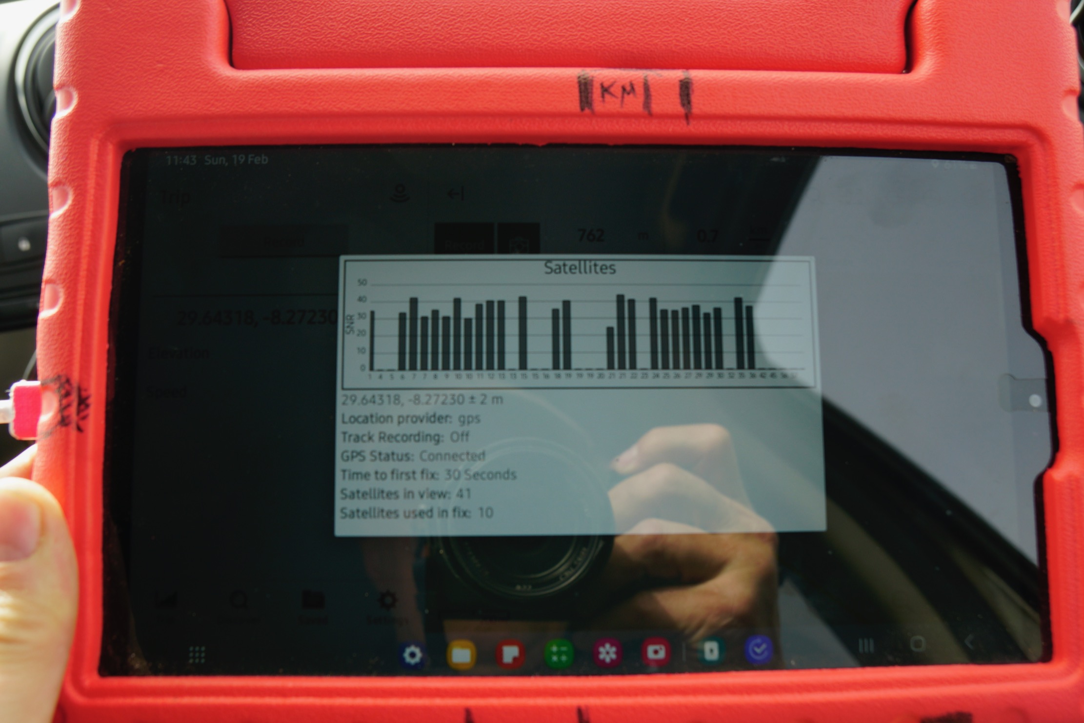
Satellites thicker than bugs on a bumper
Recording and saving a tracklog I laboriously emailed myself ~50 pre-traced tracklogs to and picked them up off the tablet to import into Gaia. This and especially sorting them out took quite some time. I was warned getting to grips with Gaia’s folders is the thing; it’s so much easier on a desktop computer. Loading the Garmin with the same was easier, providing all the .gpxs have been index-accessibly named. I know we’re all supposed to be smartphone savvy now, but around this time you realise what a great invention the keyboard and mouse were. For most travellers that will do: pick up the tracklog you want and follow it; the Gaia Overland map is pretty good in Morocco. I’m a bit different in that I’m over-recording a new, live track plus adding waypoints with distances and take notes. Recording a track is dead easy on Gaia: hit the prominent ‘Record’ tab. The Garmin’s track recording is another page so is more easily overlooked when you’re trying to get your shit together at the start of a new route. But in the Gaia app saving a waypoint for your exact current location requires pressing and holding the position arrow on the map; hard to do accurately with fat fingers and the car shaking about. On Montana you back up to Home Page, hit Mark Waypoint for where you are that second, then Save (and jot down the number). Map > Home > Mark > Save and back to map in just 4 taps.
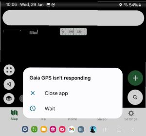
Gaia waypoints are annoyingly recorded as long (but I suppose unique) date and precise time, though I suppose they’ll all display chronologically somewhere. Also, I found a Montana suckered to the windscreen was easier to grab and tap than the propped up Samsung. I know with Duncan at times I had to stop driving so he could save and jot down. This can break the flow but is the age-old problem in doing this in a jolting fourbie. (Yes, I have thought of voice recordings). Another drag on the Gaia is having to re-centre your location and the full screen map every time you do an input. And I wish the map scale bottom left could be made less opaque, or not opaque at all; same with the zoom buttons, though of course you can spread two fingers to do the same. Occasionally Gaia freezes and needs a restart, but my Montana freezes often and need the battery removing. Later in 2023 I did two more scouting trips in 4x4s and found the Gaia detailed mapon big tablet screen better for following, but Garmin 650 better for easy and reliable recording with minimal tapping faff. I recorded data with my trusty Montana, as I did on several moto trips, when also scouting tracks. It took me a while to fully get the key differences between these two devices (see red/green comparisons above). One just does nav (plus a crumby camera), the other is an internetable phablet that does everything a smartphone can do, but nearly as easily as a laptop. Feet up, when the navigating is over, a phablet can come into its own. And once you’re back on wifi or 4G your recorded and saved nav data shoots off to you Gaia cloud automatically. Then catch up on the news, other emails, twitter off your photos or watch a movie. Duncan said initially he took both Montana and Gaia iPad on his nav jobs, now he relies on the iPad. I suppose alone and travelling at my own pace, I could rely just on the tablet too, though on a bike it would need a secure or shake-proof mount somewhere.
Update Algeria 2025 with Tablet and Gaia On this trip I was passengering in a car, following roads mostly, but doing some off road and off piste nav to new places. As always, loading and labelling your data beforehand (below) saves teeth gnashing in the field. I renewed my sub and downloaded huge slabs of Topo (1.25GB) and low-res Sat (250mb) mapping for offline use (below). I also borrowed an InReach2 to display our position for those back home
Screenshot
Gaia/tablet conclusions • Can take 20 mins to work properly some mornings (not just getting a fix). A combo of tablet CPU and huge offline maps – or is it just Gaia? I suspect the latter • Stops track recording out of the blue – could be me but annoying • Great to use offline sat mapping – and the Topo map layer is pretty good for Algeria • Imported track gets broken up into several segments. Annoying • Next time will use a proper windscreen mount • Would a Garmin 710i be the answer? Sat tracking/messaging included (so InReach not needed), plus a bit bigger and much brighter screen than 650 but still with good battery life? Only £700
For the moment the Montana is a reliable recorder, the Gaia tablet is much nicer to nav off.
Drive around southern Morocco and you’ll see loads of Dacia Dusters. The Renault-owned Romanian brand has a factory in Tangier where Docker vans and Lodgy MPV taxis are also assembled. You’ll see those everywhere too. After spending a week in a Prado TX (right; more about that job here), I rented a Duster from Medloc to start work on Morocco Overland IV with a pal.
Coupé, mon ami. Reculez-vous
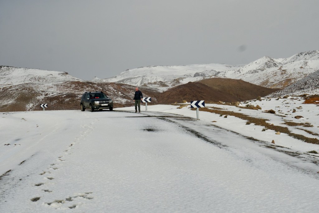
I’d spent the preceding weeks on Google Maps, Bing and BaseCamp, extracting a whole new tangle of routes right across southern Morocco, way more than I’d manage to cover in 12 days driving. Sadly my tally turned out to be even less than hoped when the weather turned during the Ineos job, ruining their route, snowing up passes down to 1800m and wreaking flood damage, landslides and transient floods across the land.
A network of discontinuous lines – c’est la vie.
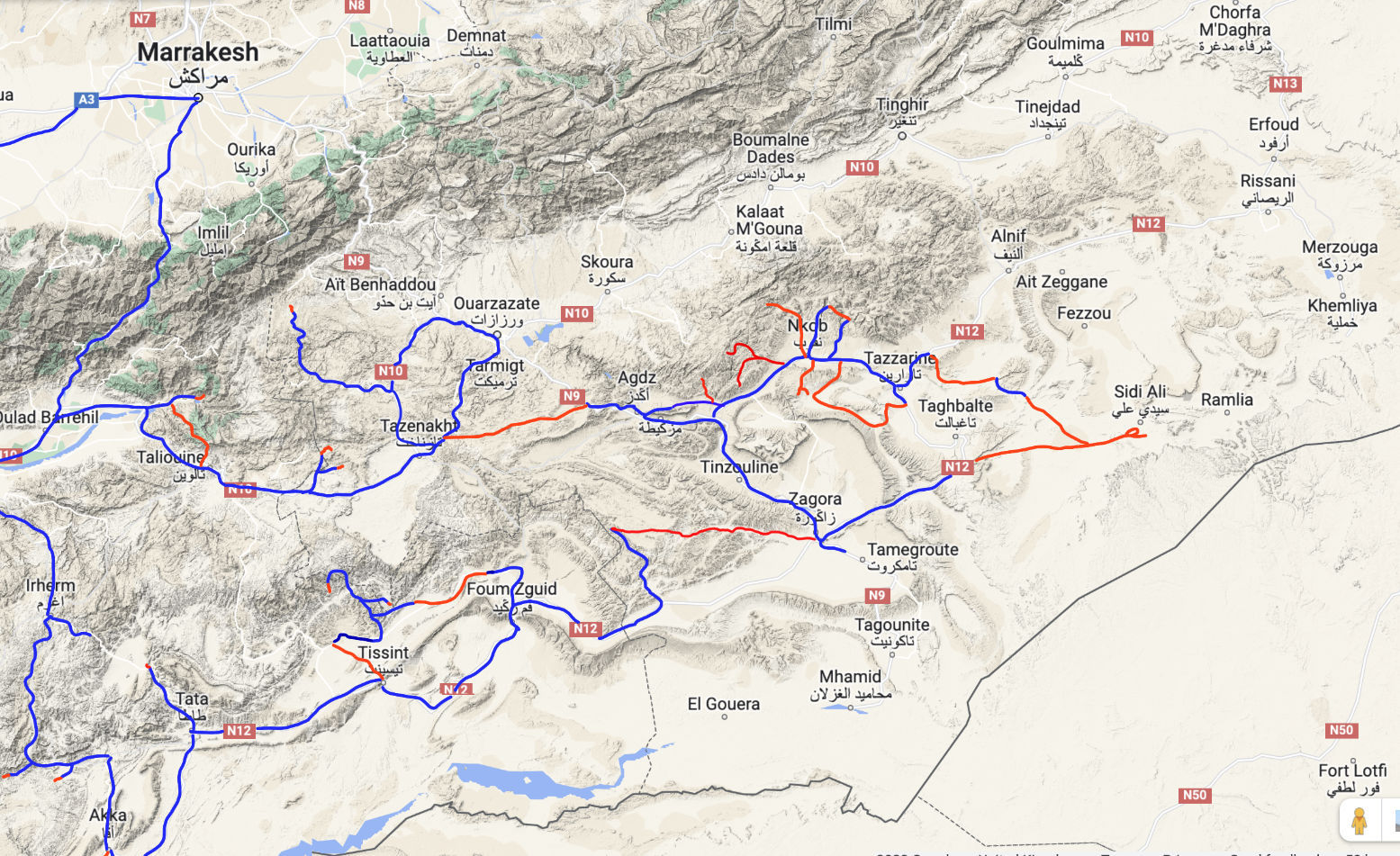
With many normally bone-dry rivers still flowing I knew we wouldn’t achieve much in the Dacia but we went ahead anyway; no recce is totally wasted. On the very first day we were snowed back then blocked by a churned up oued and rerouted by a closed mountain road. On the second day (left) we had to turn back three times before lunchtime! We settled into this pattern for the next week or so, probing, turning back and covering about 3500km (map above).
Renting a Duster in Marrakech Airport [RAK] I’d rented from Medloc in Marrakech years ago but it can still feel a bit sketchy to a first-timer. Unlike Avis, Hertz, etc, Medloc and other Moroccan rental agencies don’t have a cabin office in the Menara airport car park, a 3-minute walk from the terminal. Nor might they meet you with a sign as you come out of Arrivals (not me at least, but I was there already). I had to call them and tell them where I was, using a car park place number. Next: do not expect your freshly valeted car to be there waiting for you. Two guys rocked up after I called but it was about a hour before our actual car, booked for 11am, turned up. It’s not just me; the week before a ‘executive/prestige’ rental outfit dicked us about for even longer sourcing a second Prado which had been booked well in advance. And this was a multi-car job worth tens of thousands. Note that Dusters come as 2WDs too; make sure you book the right one! Our car was a little dinged and repaired here and there but with seemingly good tyres (as requested), a similar spare and the all-important jack and wheel-changing tools (always check these; half the Prados’ jacks were missing). I’d make a show of checking the oil level while they watched too; it shows conscientiousness (ours looked like Brent crude). I paid the rental fee on a portable card reader: €65/day plus a deposit of €1500, same as we do when renting bikes from Loc. Basic 3rd party insurance is included; no other damage waiver insurance was offered. I signed various forms, the pouch of documents went back in the glove box and we were asked to return the car with the same four bars on the fuel gauge. On returning the car another call identified my location in the airport car park. People turned up fairly swiftly; checked around the car, asked about the bodged repair to the turbo hose (see below), made some calls and unexpectedly even refunded me the 200D I’d paid for the repair with no receipt then signed the car off. There was no cancellation of the €1500 deposit; he said he’d email me later with it (he didn’t). This was unnerving but checking my bank statement that evening, it seemed it had never been taken in the first place while the full rental fee had. This was similar to a moto I’d once rented off a trailer by the roadside in central Marrakech from M2R using a wifi card reader. It all felt sketchy as hell but panned out too. Even where possible I try to avoid using my card in Africa – cash for the rental and deposit is an option with Medloc.
Lessons learned: go ahead and use your 4×4 to its full ability on Moroccan tracks but make sure you have a number to call and try it before you get in trouble. Alone in a smoking Duster with over 100,000 rental kms, you may want to constrain your off-roading ambitions. Some places we drove would have been a near impossible recovery but don’t assume they’ll come down with a replacement if you car breaks down. They may suggest you try and get it fixed locally. I’d also bring a good tyre compressor. I’d also considered blagging a couple of planks somewhere for bridging as well as traction, although rearranging rocks, kicking away oued banks and on soft terrain stopping early and deflating did the trick. I note that Hertz at RAK also rent Dusters. Renting with Hertz ought to feel more reassuring, but only if you get a proper 4×4 Duster (which don’t come as automatics in Morocco).
In a line Prepare to be surprised with what you can manage in this light, all-terrain SUV.
• You can feel how lightness helps • Great end clearances – never touched on some steep banks • Recorded up 45mpg (16 kpl), that’s a 750-km range • Nippy enough on southern Moroccan roads • Suspension pretty good for what it is • Had air-con and sat nav (but not the best) • I didn’t miss Low Range much • Road tyres worked fine up to a point when ATs wouldn’t have been much better. No punctures • There is some underside protection • There were fewer electrical faults (none, in fact) on our Duster than some of the Prados with similarly high rental mileages
• Underbody clearance is lower than it looks over central track humps • Lame air-con and hard to see sat-nav • Clicking noises under power from the back diff on loose surfaces; an LSD working or transmission wear?
DACIA DUSTER Le Doustaire is a budget SUV going from an amazing £15k new in the UK. I’ve long been impressed by its unusually functional angles and clearance – as good if not better than a stock Prado. In my experience, along with appropriate tyres, for off-roading good clearance is the first priority, followed by 4WD and good articulation (suspension range) or traction control, and finally low range. Plus a snorkel.
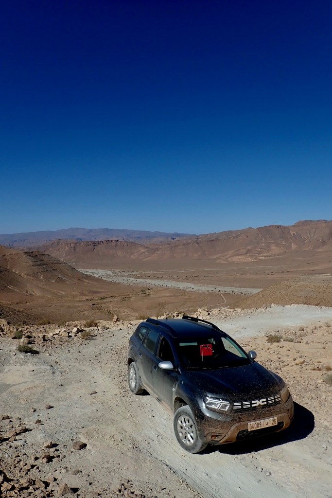
The 4WD Duster has six speeds but no low range, just a low first gear – though it doesn’t feel that low to me. I’d outlined my intended use to Medloc and asked for good tyres and that I didn’t mind a well-used example so long as it wasn’t black. At Menara we picked up a bronze 1st generation Duster a few years old with a Renault K9K 1.5dci, 85hp TD in 6-speed manual and 117,000km on the clock.
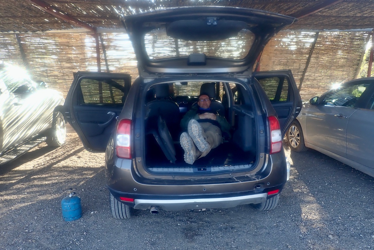
Our car had a sat nav which actually worked for routing once you’d got the better of the interface, but the matt LCD screen was hard to read and was set too low for the driver. There was also air-con but it was pretty poor at pumping cool air around. I don’t know if low pressure in the system does that. With the back seats down (left and below right) there’s almost enough room for two to sleep on the near-flat surface, if needed. The brakes were OK (non ABS) and so were the lights. I should get a job at Top Gear!
Info screen; low and murky
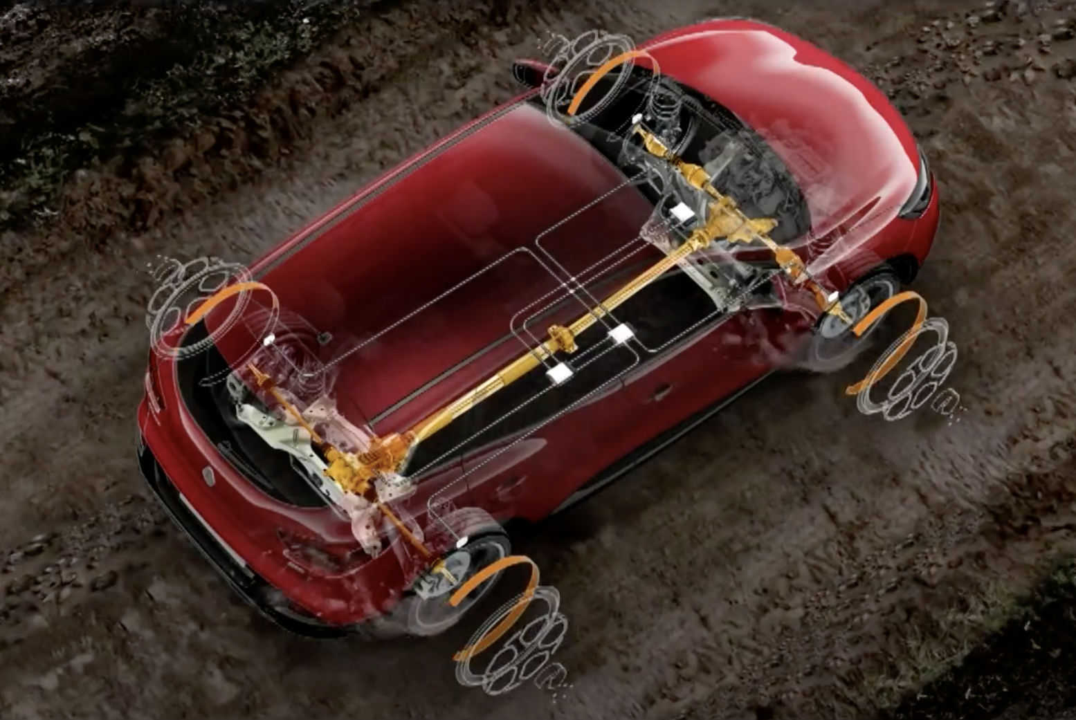
4WD system The Duster runs FWD until you turn a low-reach dial to ‘AUTO’ at which point the rear axle engages on demand, activated by front wheel slip. Another 90° turns the dial to ‘LOCK’ presumably engaging a central diff lock (up to 40- or 60kph) to split torque 50/50 for a bit more traction. I don’t think our car had ABS, nor did it have ‘ESP’ which includes traction control. Later models have more acronyms. This Renault video may help demystify things, or this page where there’s talk of the system overheating if used hard, so there must be something slipping somewhere.
It all feels a bit opaque compared to the old-school mechanical lever and lock systems I’m used to, but we only struggled twice; once when the articulation and so the traction was on the limit crossing a wash-out (left). That ditch took a bit to rocking/momentum (not ideal and how lurching, non-low-range cars get damaged). The other time was wet sand under a crust between low dunes where I wasted no time in stopping early, clearing the wheels, lowering the tyres and foot recce’ing a way out.
As I know well, on the piste you can manage with 2WD 97.3% of the time, but there’s no harm leaving it in AUTO which won’t wind up the transmission and ought only intervene when needed, though might create some drag and higher fuel consumption. It did feel like the steering stiffened reassuringly in LOCK so something was happening below, but a couple of times when turning on loose surfaces under power the back diff clicked as if there was a mechanical LSD in there, or something was slipping and would soon eventually strip splines or snap. This is the risk in using lightly built ‘4WD’ SUVs on remote desert tracks where occasionally you might have to ask a lot of the transmission. There’s a reason why Land Cruisers and the like are relied on by aid agencies, despite their weight, cost and fuel. consumption. They are over-built to handle the task and last, but are of course still prone to failures.
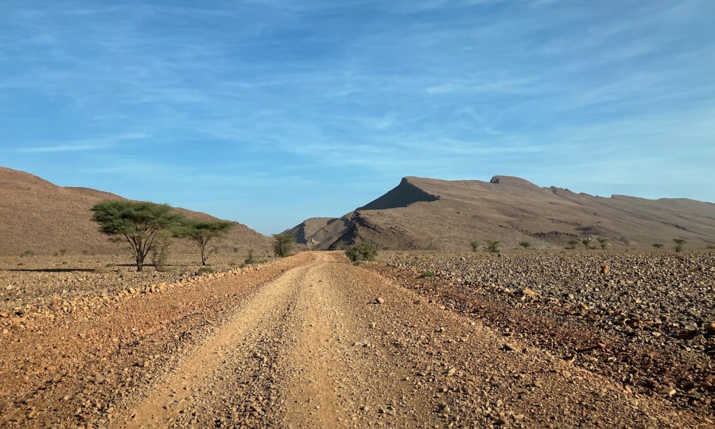
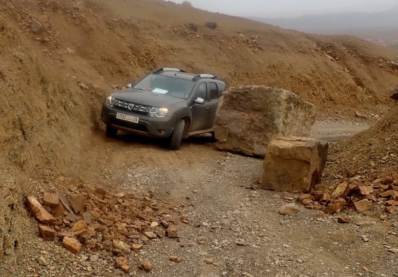
This was why, again and again in our aged Dacia we backed away from terrain which we might have tackled in a stouter Prado with Low Range or with another vehicle present. And it was why we didn’t cross something which we weren’t confident we could reverse, if needed. Nor on this occasion did we intend to venture into the remote desert south of Rissani. The nature of flood damaged tracks: wash-outs, landslides, fallen rocks, boulder-filled river beds or actual rivers and slimy claypans (we encountered all these), is that a track can be perfectly drivable for miles, then virtually impassable, then fine for miles again to become completely impassable. It takes some experience of desert off-roading and a vehicle’s abilities to know how far to push it while also knowing what you can tackle without risk.
Camping fuel with fly-in rentals Flying in to rent a vehicle then camp, you’re limited with what stoves or fuel you can carry on a plane. For boiling water a harmless volcano kettle will work but current models can be slow and fiddly. I managed to transport solid fuel ethanol blocks in my hold bag (they can be classed as ‘disinfectant gel’) to use on a compact gimp stove, and also thoroughly aired off my reliably powerful old Coleman petrol stove but ran up against the weight limit so left it. At the last minute I bought a Trangia burner which, using the same stand as a gimp stove, will work with alcohol that you can buy readily from pharmacies in Morocco. In fact, in any small town it’s easy to buy a 5kg bottle of butane for just 60D (£5), as well as a cheap burner head for around 40D in a hardware store. From previous experience in North Africa a bottle this size will last a month and is of course dead easy to use once out of the wind. While faff-free, one thing we noticed is that Moroccan butane is of a lower quality than what you’d get in Europe. You won’t get a crisp blue flame but it got there in the end, probably no quicker than a v-kettle, Trangia or a gimp stove.
Soon things got worse, then deteriorated
The independent coils all round give pretty good articulation and as mentioned, if nothing else, the clearances lapped up the piste. On the road the car was nippy in southern Moroccan traffic, didn’t roll much in bends and the brakes were OK. Six gears was a new one on me but if you don’t rush it you got it right most of the time. I’ve not driven a manual for over a decade but had I not read it before, I’d not have noticed first was extra low. Sixth is definitely an overdrive that drops the revs and noise.
Chunky 50L plastic tank
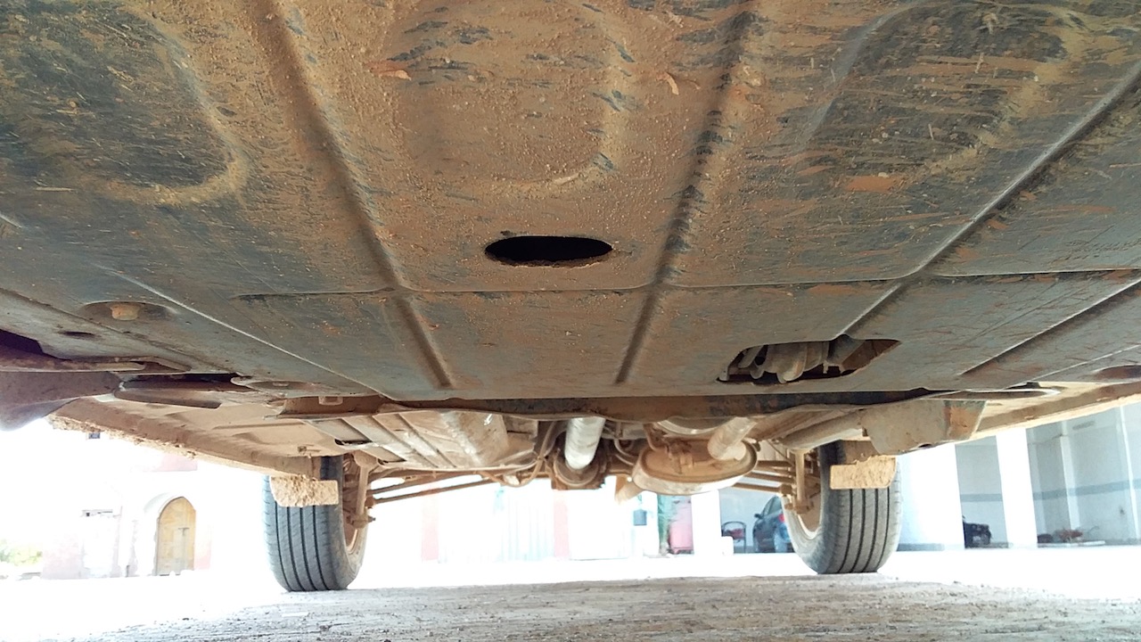
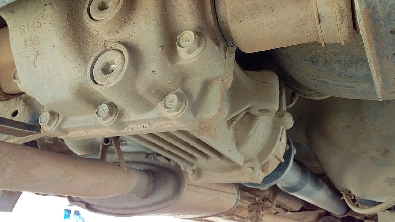
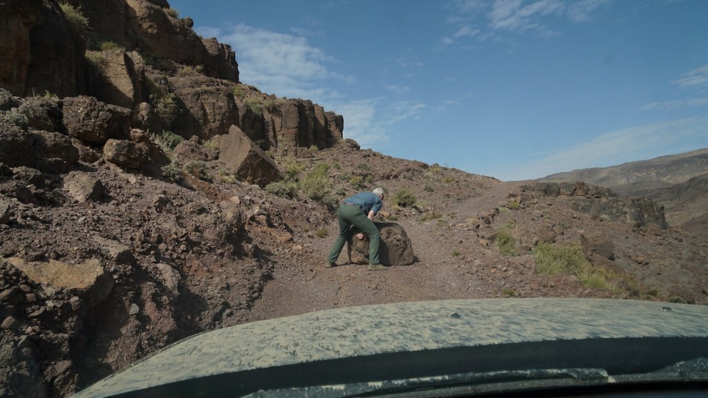
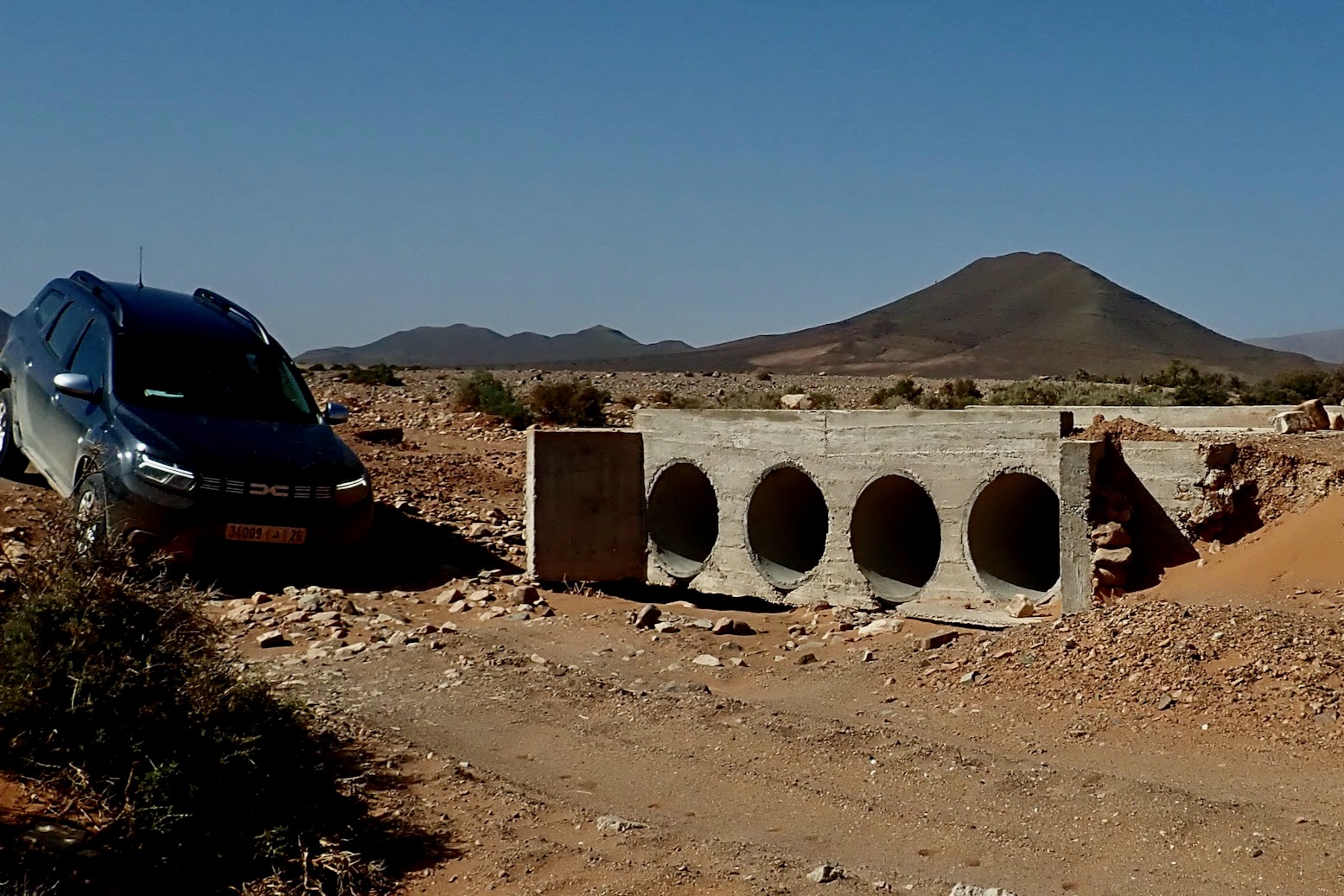
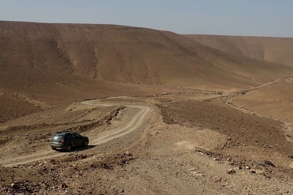
The Duster’s clearance is nearly as impressive as it looks; not once did we scrape either bumper; more than I can say for the stock Prado I used last October (The Prados we used just before this trip were notably lifted). So we were surprised when the undercarriage scraped, grounded and thumped on deeper twin-rut central humps. Looking underneath there is actually some steel protection, but the full-width bashplate under the engine (below left) seemed to be the Duster’s point of contact, along with maybe the forward edge of the rear diff housing (below right). Seeing that neither was getting pulverised made the occasional scrapes and thumps easier to endure, but it was irritating to have to drive deep ruts off-centre like a regular 2WD car to avoid excessive contact. As it was, on many occasions one of us hopped out to either move rocks and/or guide the driver over tricky ground to avoid needlessly bashing the undercarriage.
Duster fuel consumption range
A switch on the end of the wiper stalk I’d have never found toggles a nifty read-out on the dash which includes remaining range, live and average L/100km, odometer and outside temps. The Duster has a centrally mounted 50-litre tank and averaged the low to mid 40s mpg (6.5L/100km; 15kpl) which was pretty good. I doubt the hefty Tojo Prado ever exceeded 30. Accelerating the Toyota you could almost hear the gush of fuel pouring out of the pipe as the 3-litre engine heaved the 2.5-ton car into motion.
Turbo alert or something else?
We did get caught out on one little used track which we started late, had it turn unexpectedly gnarly (above), and with us low on water and with no signal. The fuel range dived under harder use, compounded when a dash warning light came on (left) and power dropped off. Limp-home mode? From day one Barry thought the turbo was playing up; not knowing the car I wasn’t so sure. But we couldn’t decipher the warning icon on the dash as the only handbook in the glove box was for the sat nav (it needed one). We checked for drips underneath and under the bonnet and carried on into the night. It was a tense couple of hours.
Never thought I’d be pleased to see the twinkling lights of Zagora.
A typical Agdz ‘Kwik-Fit’
It wasn’t till next day in Tamnougalte when we got online to find that orange warning lights are less critical than red. We also got a tip to check the turbo inlet hose. Up to that point we’d assumed the turbo had gone (Barry’s failed on his Defender at just 14k). But Medloc did not respond to detailed emails explaining our problem, or requests for a replacement car. Calling was the answer (trickier for me with shakey French) to which they suggested we buy a new turbo and get it fitted (for 1000D we were advised; one could have come down from Ouarzazate next day).
LooseFixed
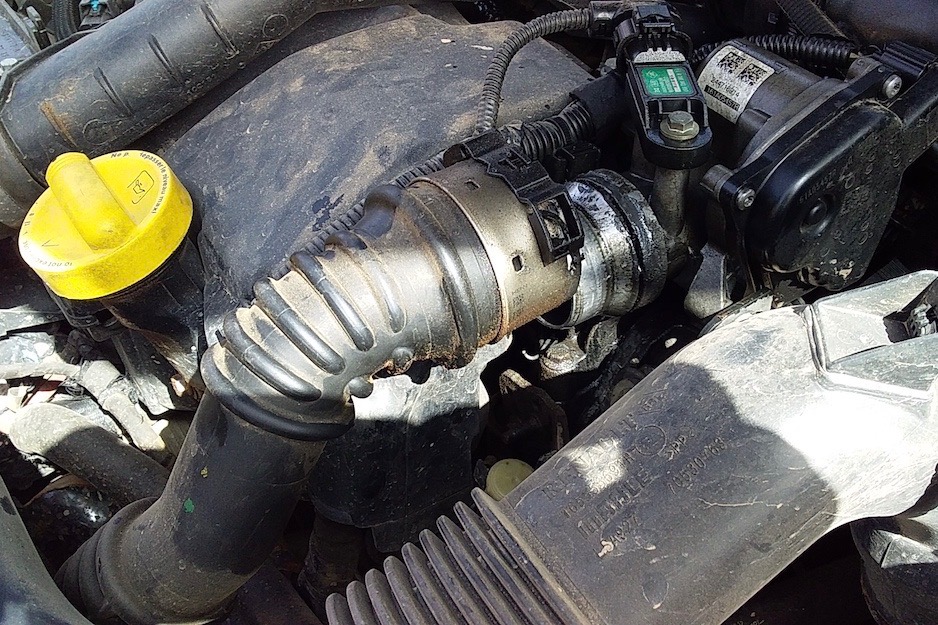
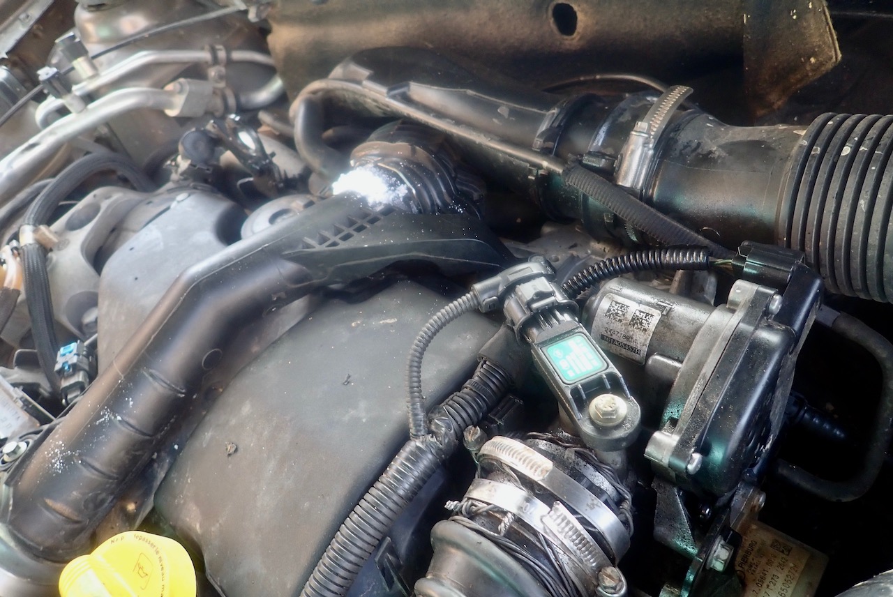
We should have spotted the loose hose on the piste; rev the engine and it blew off and remained displaced, producing black smoke so common to many older diesel bangers in Morocco. But the plastic hose (as opposed to more flexible rubber) wouldn’t push back onto the turbo and stay there; some attachment/clip was broken, caused I presume by old age plus the engine rocking on the chassis mounts over rough ground. I’ve had this engine-wobble/hose-strain problem before with the Land Rover 101 and other vehicles. Once our spliff-tooting mechanic had firmly lashed the hose back on with bailing wire and two jubilee clips, normal performance resumed and stayed. Was the turbo whining more? Hard to tell.
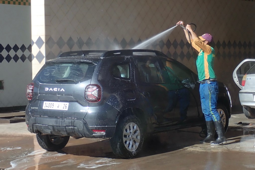
Quick rinse
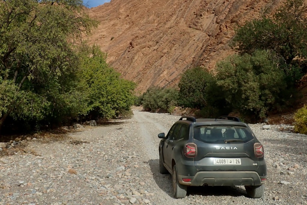
Above all, what impressed me with the Duster was its lightness – or how little it took to get the combined 1500kg mass moving with very little throttle or a relatively high gear. Often you could trickle along a piste in third. And when things got a little rough this lack on mass translated into non-self destructing impacts where the mass of a proper 2-ton 4WD would have either broken something or bashed you against the insides. This really was a revelation in the Duster and why I’d rent one again. Just maybe not such an aged banger. A few months later I did – read here
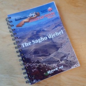
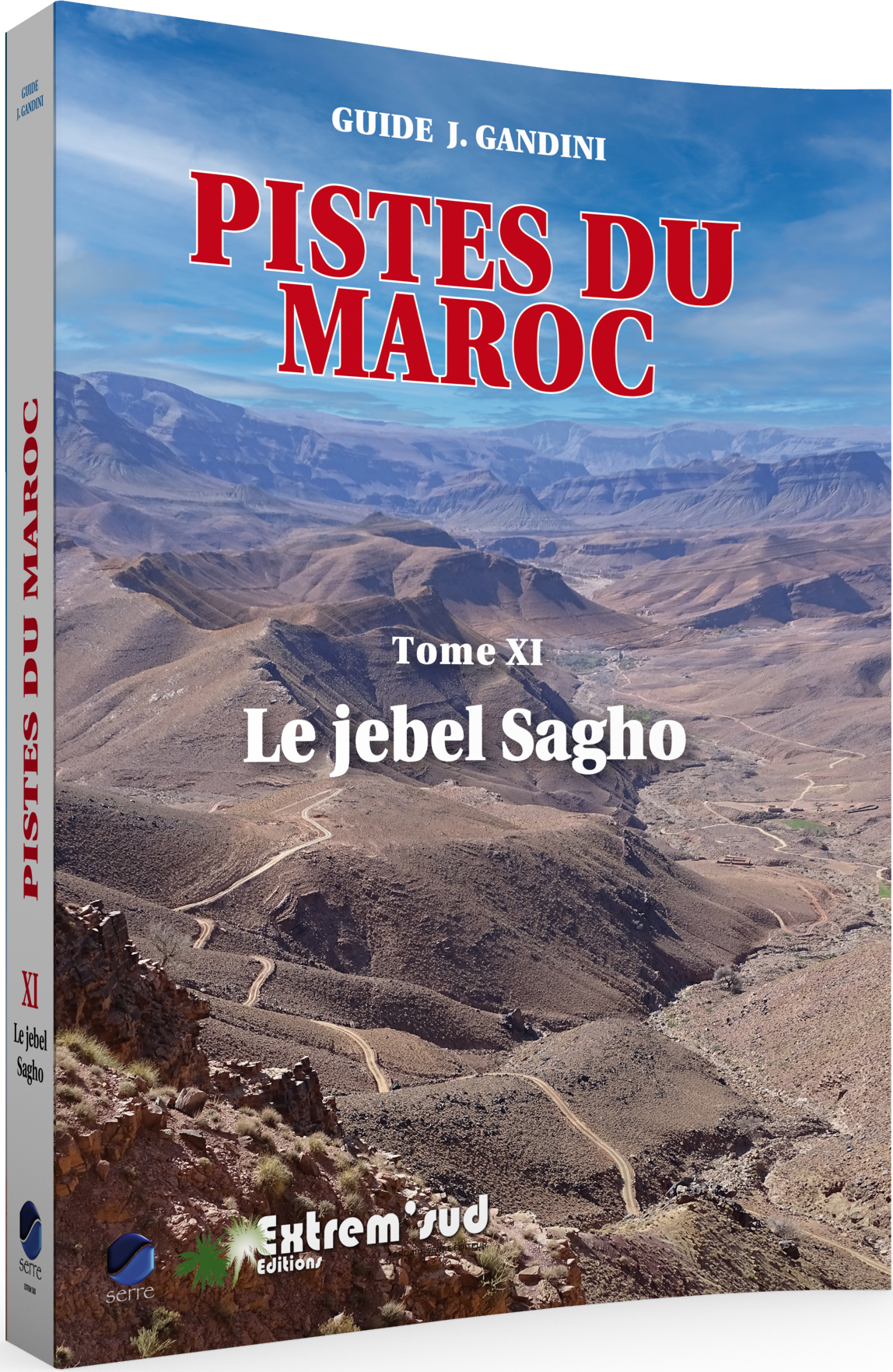
In a line Packed with intriguing routes to amazing vistas, but unapologetically expensive and hard to visualise the potential from the single map unless you download the tracklogs (another €20).
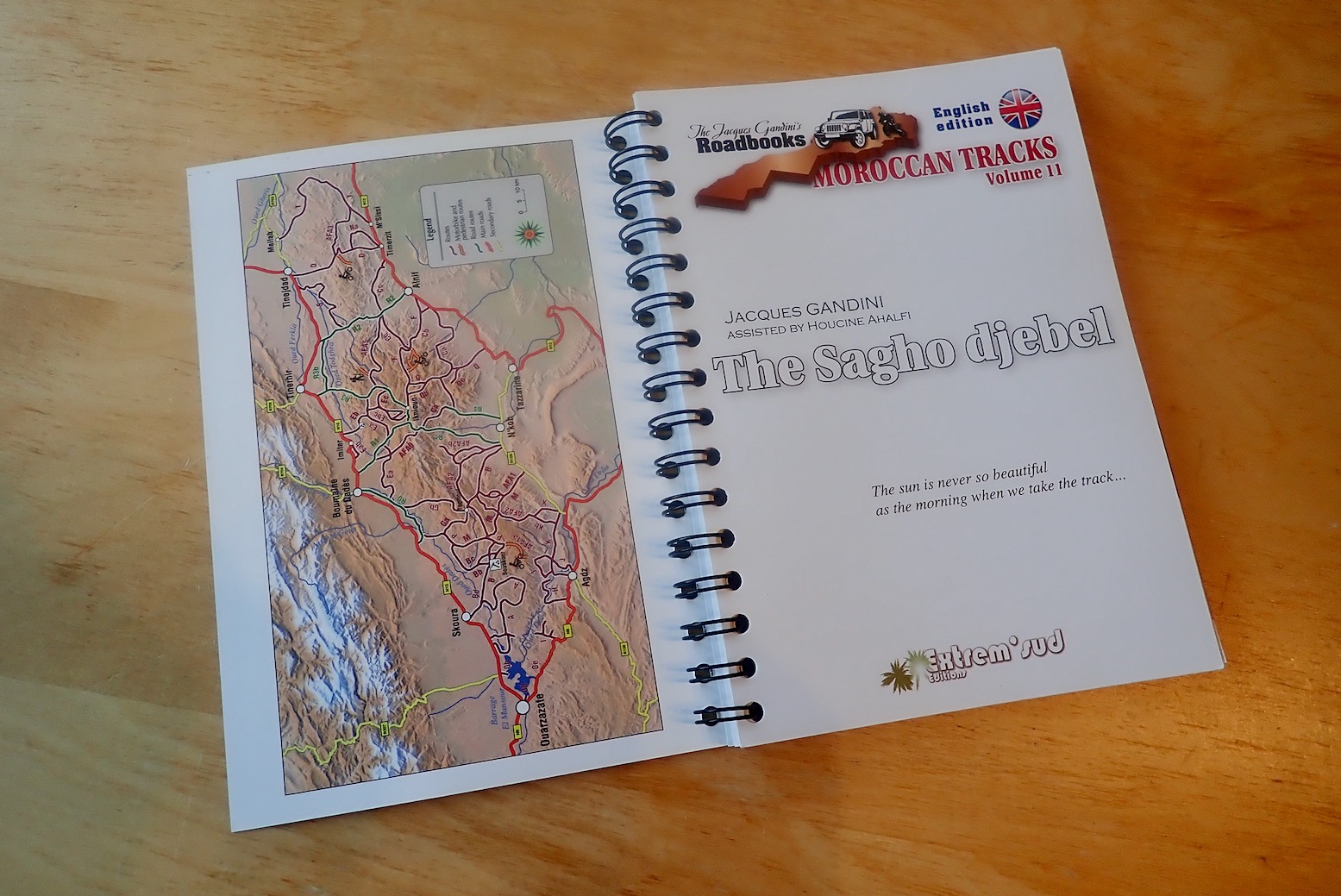
What they say The “Jacques Gandini [Jebel Sagho] Roadbook” [is a] lighter version[s] of the French ” Guides 4×4 J. Gandini” (without the historical or ethnographic boxes present in the French edition): all the itineraries, all the waypoints and their comments are included. Abundantly illustrated, they are printed on strong 170g/m2 paper and bound with a metal spiral for better handling on the trail. They are published in 4 languages: Spanish, English, German and Italian.
Jacques Gandini and Hoceine Ahalfi have explored in detail the Jebel Sagho, this magnificent wild region of southern Morocco, with its breathtaking landscapes, situated to the east of Warzazat and to the south of the Dades valley, and have put together 59 itineraries totalling 2,500 kilometres and 1,100 waypoints.
Thick, quality paper and spiral bound
There can’t be many routes left on Saghro
The author is not without an SOH
Some historical and cultural background seeps in from the full-fat French edition
As with previous Gandinis, it’s an effort to engage with the book’s content, even in English
Design/format too dense and basic
Jam packed with pictures, but many are just space fillers
A guidebook with just one map!?
Expensive, even for a specialist guide
Scores of extraneous waypoints for every passing creek, etc
Probably better off just downloading the tracklogs for €20 instead
2500km, 1100 waypoints, 1 map
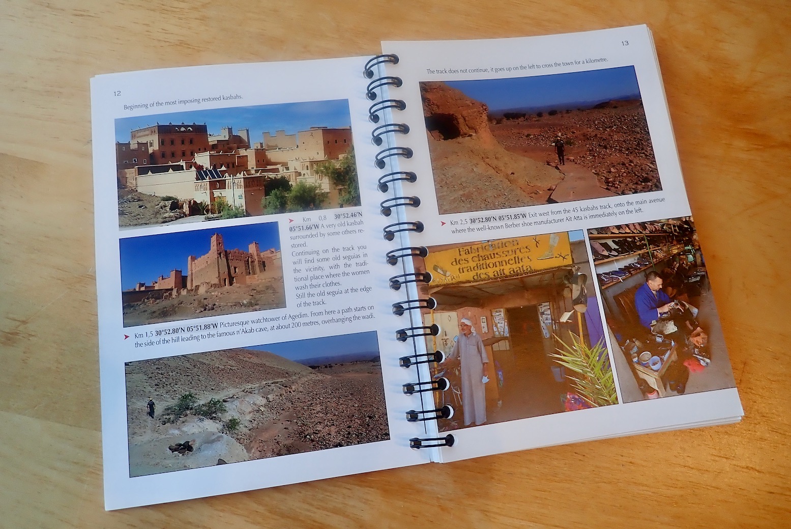
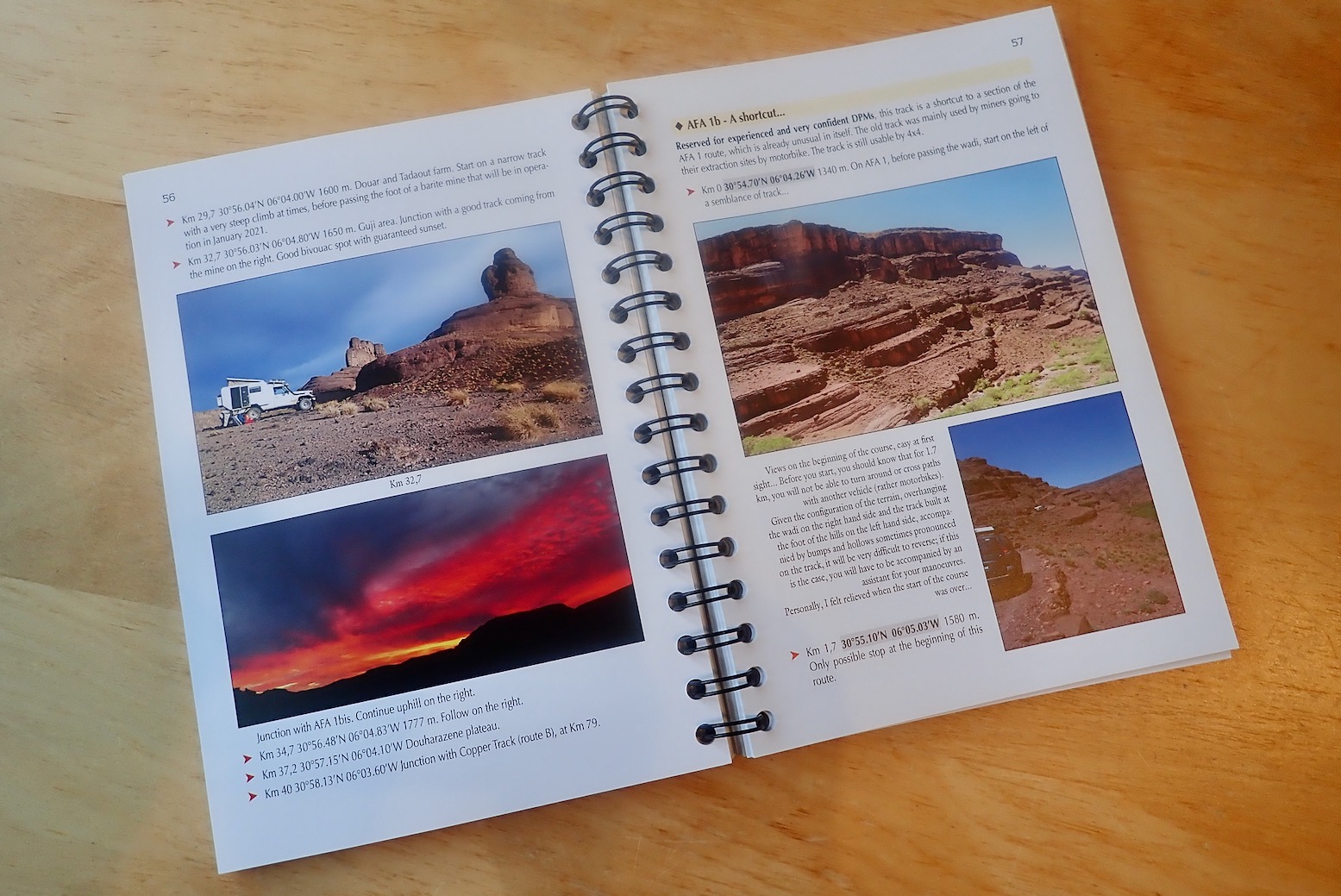
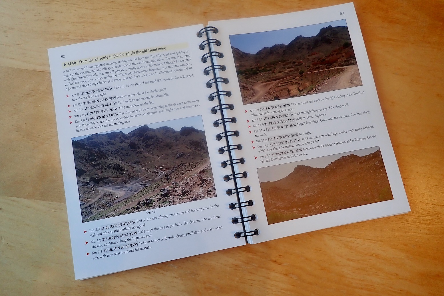
Review I first came across Jacques Gandini’s Sahara guides around 1999 when that was all that was available for Libya (apart from German). The books were loaded with well researched historical and cultural background but, as practical piste guides for the early GPS era, I found them hard work. I may have bought one of his early Morocco books too, but was further put off. Since that time I’ve written similar books like Sahara Overland (op) and Morocco Overland, and like to think I know what it takes to make a piste guide user-friendly for autonomous two- and four-wheelers. In the meantime the prolific JG has concentrated mostly on Morocco, producing 11 routes guides to various regions, as well as other travel books and histories, assisted by his Berber-speaking local guide, Houcine Ahalfi. The books were all in French until this English edition for Jebel Sagho was released in 2022 (also in Spanish, Italian and German), alongside the new French version. A sign that more translations will follow? The blurb clearly states this is a ring-bound, stripped down ‘roadbook’ of the full French version which is well over twice as long. And they’re not exaggerating. You usually get one line intros for routes squeezed between masses and masses of photos. A few of these are amazing (not hard on Jebel S), some a bit so-what-y, as if filling space.
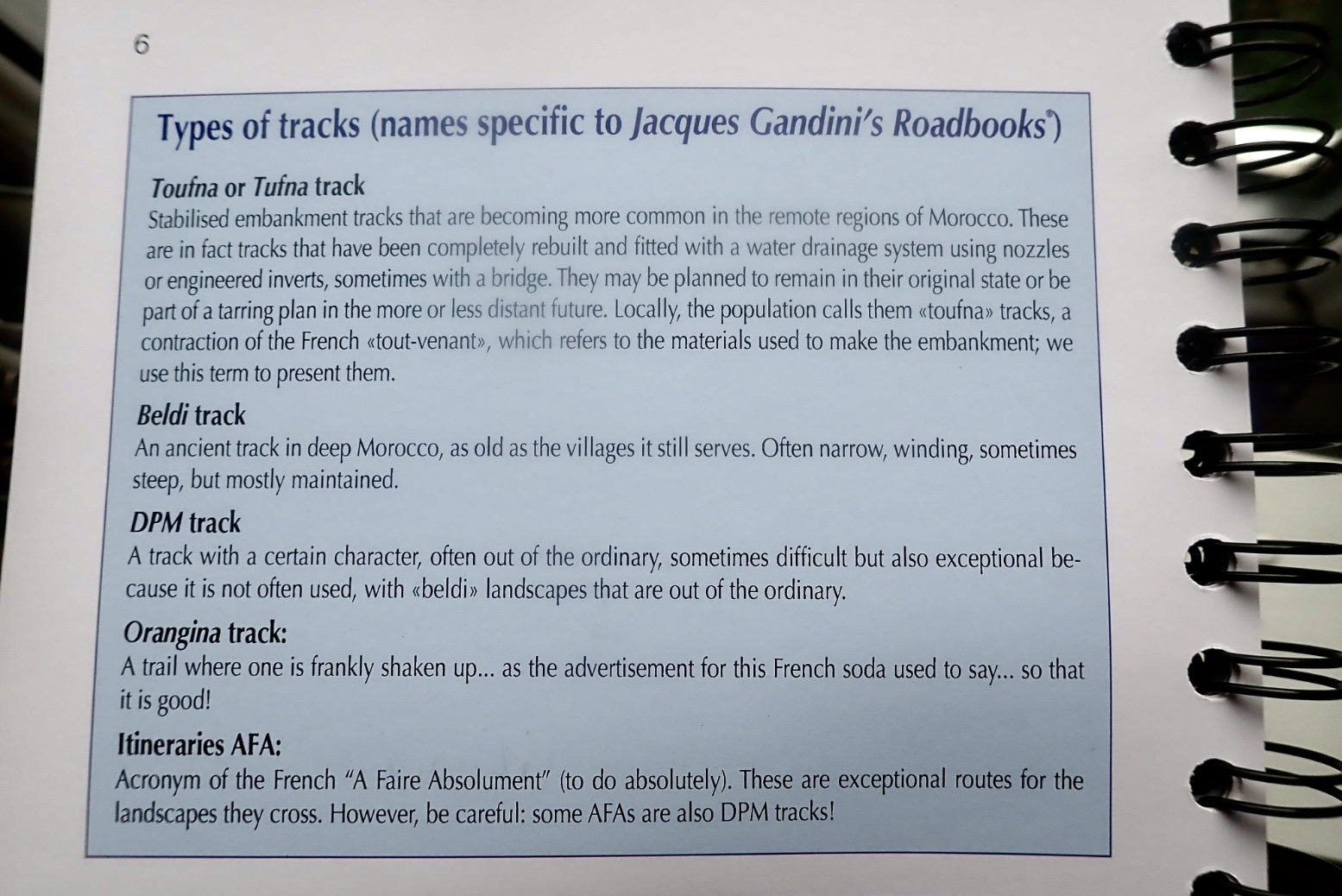
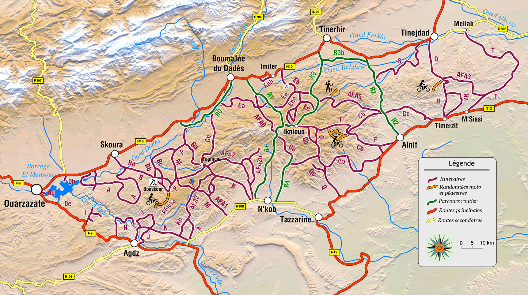
The pistes are categorised using Gandini’s scale, shown left. ‘Tufna’ are easy, well-maintained tracks like MZ1, ‘Beldi’ are ancient winding village routes, some possibly abandoned for regular use (though young locals on 125s can go anywhere); ‘DPM’ I think is meant to signify ‘Dedicated Piste Merchant’ or somesuch. ‘Orangina’ is a bone shaker and ‘AFA’ is Absolutely F-ing Amazing. Most are listed from A to T but these refs are scattered all over the hard-to-read map (tip: don’t used dark red text on a brown background). In between are sub-routes Ba, Cd, etc, plus the aforementioned five AFAs. Confused yet?
Can’t see the route for the waypoints
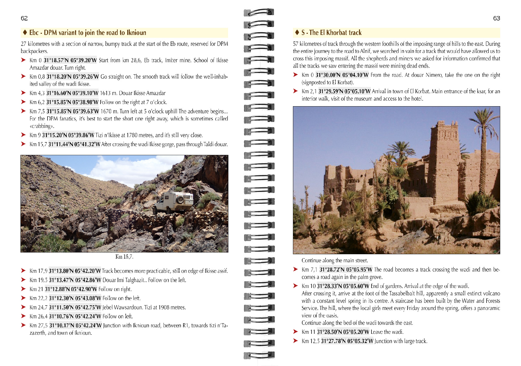
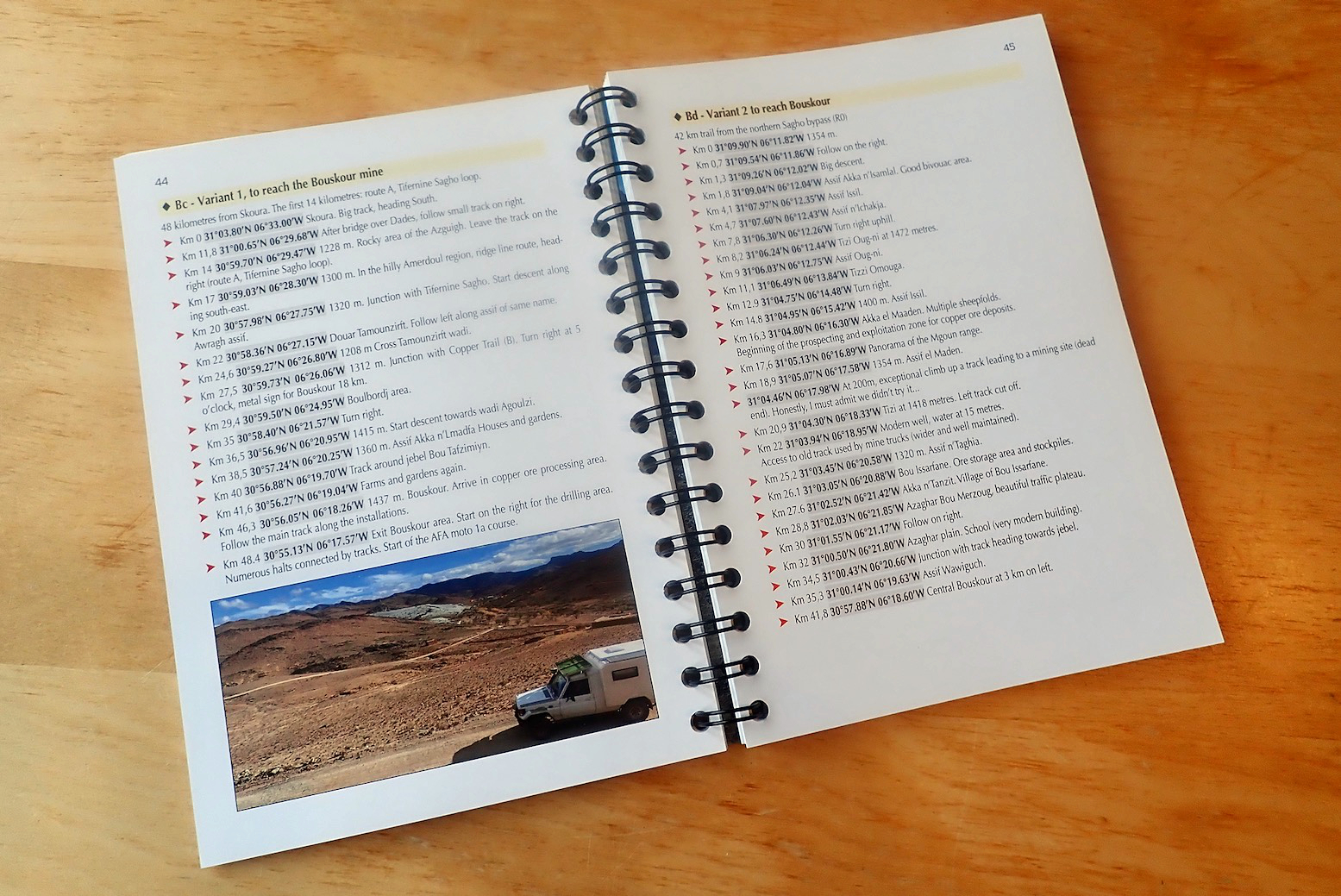
Page upon page is packed with distances, waypoints, short descriptions and photos. According to the blurb, with over 59 routes there is on average a waypoint every 2700 metres. Many of these waypoints seem to be unimportant names of passing creeks extracted from a local shepherd or off an old map. In the picture left, the right page has just six directional waypoints. This is too much distracting, unnecessary information. Perhaps Gandini is a writer who likes to throw in everything (a common flaw with many ‘under-edited’ self-published books): loads of waypoints, loads of photos. But loads of routes too. Also, I believe we’re now in the era of the less error-prone decimal degrees (D.D°) format: simply 00.0000, -00,0000, not N00° 00.00′, W00° 00.00′, let alone N00° 00″ 00′ W00° 00″ 00′. My current Morocco edition uses D.D° which I believe is the default in mobile phones. You’d do well scrutinising the book or prefered routes with a highlighter and marking the waypoints that actually matter. In my Morocco book I decided ages ago that waypoints weren’t needed for every single passing feature which may be simply noted with a distance, especially when on a section of track you can’t stray from. I have to add the condensed font is not to my taste either. For me, whenon the piste and with the Orangina fit to burst, you have enough on your plate should the time come when you need to refer to your guidebook, and so legibility and ease of use are key.
It can’t be a mere oversight or issue of space that the book has just one overview map on the inside front cover (above and online), tightly packed in the 2500 kilometres of routes. I feel that in books like this, additional maps are an essential part of breaking down long lists of waypoints or tangled routes into something you can visualise. You get the feeling you’re being pushed into buying the tracklogs for another €20 (but of course not share them beyond your immediate family on pain of the guillotine). This is a current quandary over copyright with all publishers of similar content. As it is, a canny user of Google Maps could easily locate the pistes shown above and trace them off satellite imagery to make their own tracklogs. Finding online ‘OSM’ maps maddeningly unreliable and inconsistent, that’s what I’ve been doing lately in search of new routes in southern Morocco. There are many places I’ve long wondered ‘Hmm, where might that go?’. The best answer is on a high resolution WYSIWYG aerial image; zoom in close enough and you’ll find a dense lattice of tracks leading to lonely homesteads and hamlets all over southern Morocco; just don’t expect these tracks to all be passable. That is the value of guidebooks; the routes have been systematically ‘curated’ for you.
Some anomalies I chanced upon: he calls my MH14 route ‘new’ which seems odd. Yes there are new mines up here but I was told of this piste way back in 2011, it’s a long-established Sagho route. I also note he draws 120km out of my MZ1 route, when my tracklogs record at around 102km. That’s quite a discrepancy on a route which must be identical. Maybe just a typo – I should know! Other than that, there’s masses of information based on years of experience, it’s just a shame Gandini hasn’t got better at laying it all out because it’s hard to easily take in what you actually need to know. Maybe, like any new guidebook, spending more time with it will make it easier to use.
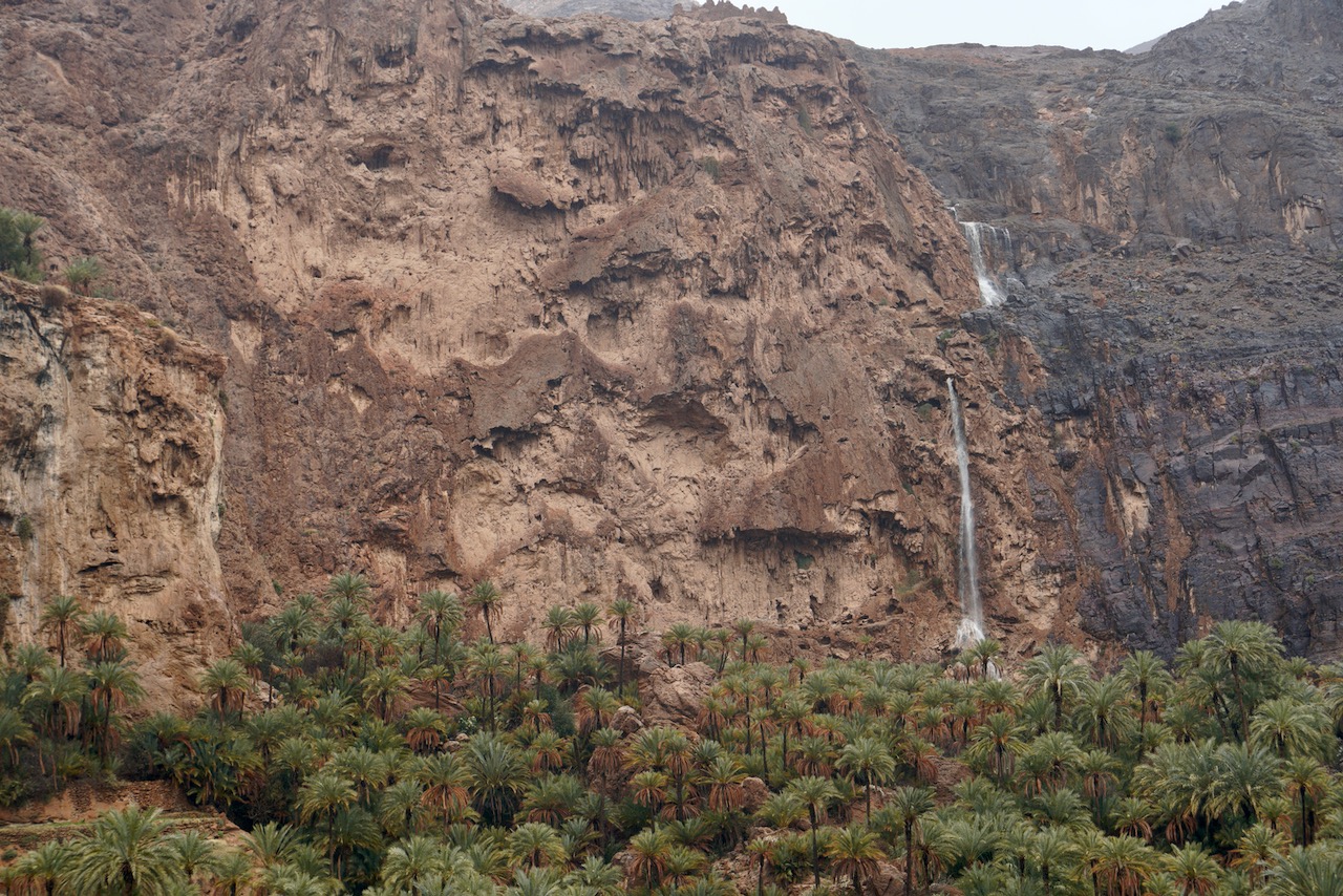
If you been on one of my Morocco Fly & Ride tours you’ll doubtless remember our overnight stop in Assaragh after our steep ride from Aguinane up the cliffside overlooking the dry cascade – and perhaps a walk we took to the cliff edge later that afternoon. Below is a video found by one of the riders recently, shot by a local in late 2018 of the usually dry waterfall in full spate. the force of the water looks quite staggering.
In February 2023 we came up to Assaragh to see it flowing a little for the first time, getting bigger as we watched, following a week of rain. But when we came back 2 hours later after getting snowed off the road to Agadir Melloul, it had stopped. Then, two days later back in Taliouine I was shown a vid from that afternoon just like the one above. All roads south of the N10 were cut and the river at Assaka bridge (below), just west of Tali which had been trickling yesterday was running full width and several feet deep and heading for Agadir.
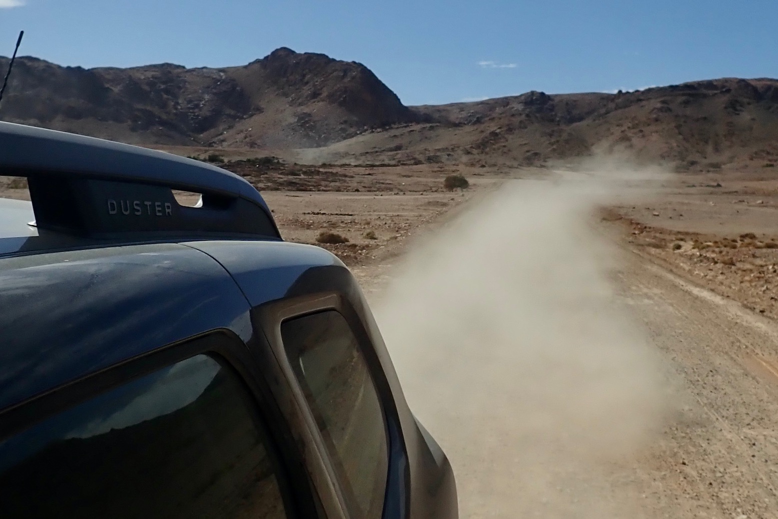
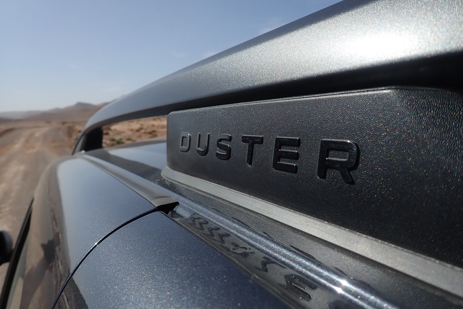






 • You can feel how lightness helps
 • Underbody clearance is lower than it looks over central track humps