In a line Well after 14 editions the paper feels thicker but in the south much detail remains missing or well over a decade out of date.
Cheap Big (1 x 1.5m) Detailed key in many languages Intuitive 1:1m scale Doesn’t need batteries
So out of date in the south it’s not funny anymore
Big and 1.3 m wide, but years out of-date
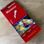
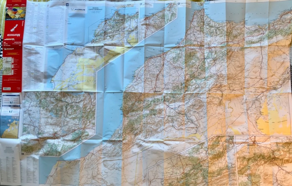
Review Michelin the best map for Morocco, right? Not for many years, I’m afraid, unless you’re following the main highways. The late 2024 edition’s paper feels thicker – an age-old complaint. You also get five sub-regions at 600k scale. Plus points are the intuitive 1:1m scale, clear Michelin design and the fact that it goes right down to Laayoune which means you can view all of Morocco 4’s routes on one sheet – except that I’d guess less than half on them exist on this map. And at from £6.50 in the UK, it’s cheap. But many easily navigable market roads and tracks mentioned in my M4 book or on the digital maps below are missing, and some roads and tracks either don’t exist or get misleading prominence. In places this data is nearly 20 years out of date so once you get far of road, it’s unusable.
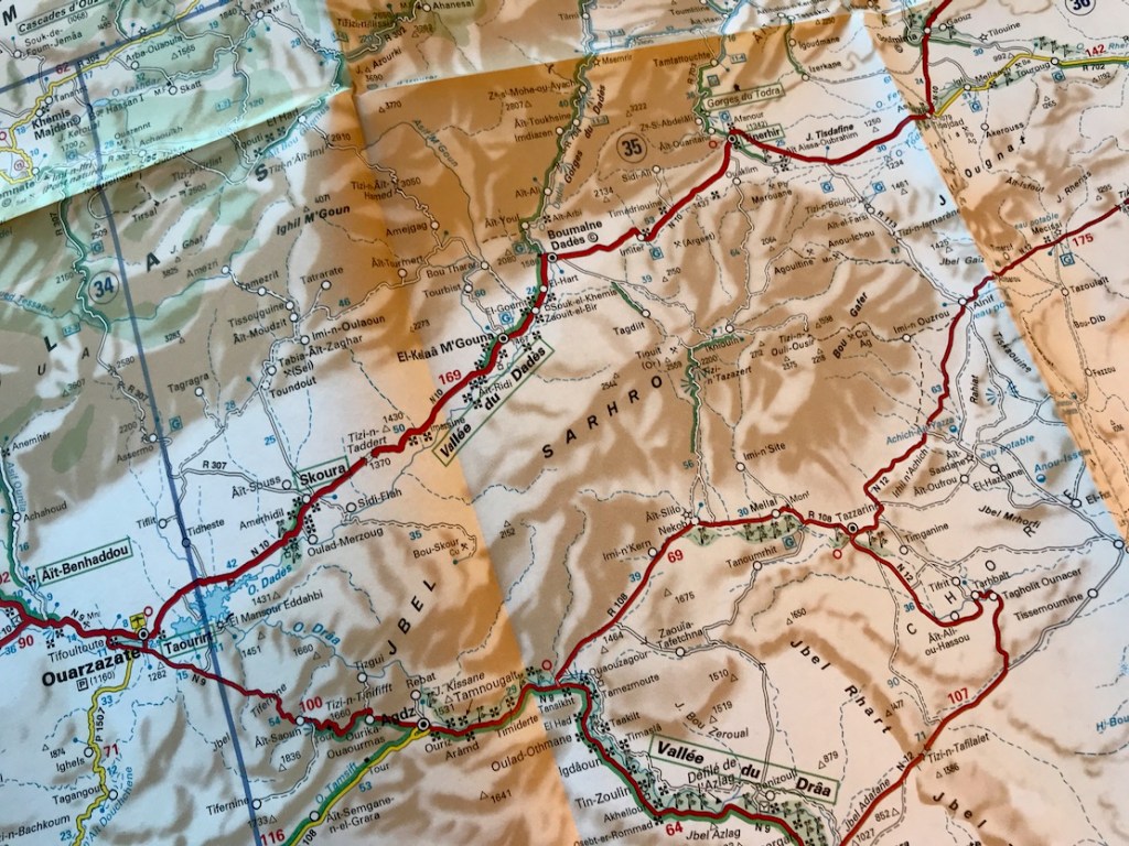
Jebel Saghro: nothing to see here – at least on the Mich 742
Look at a region like Jebel Saghro (above) about which complete piste guides have been published (and which in Morocco 4 get 32 pages and 11 routes). On the Mich map even the main roads is incomplete.
You’d think one day they’ll go all out and improve the 742, like RK-H did in 2019. That has not happened for years at Michelin. Perhaps the best thing to do with the latest Mich 742 is mark the many, many missing roads and pistes from other sources all on one big and inexpensive map to become a handy reference to what is possible and where. That’s what I’ll probable do with mine.
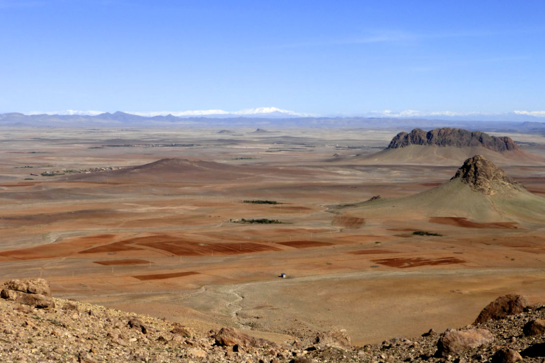
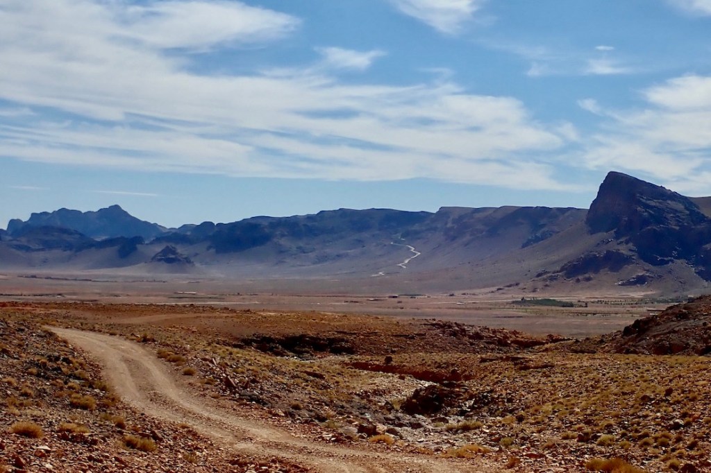
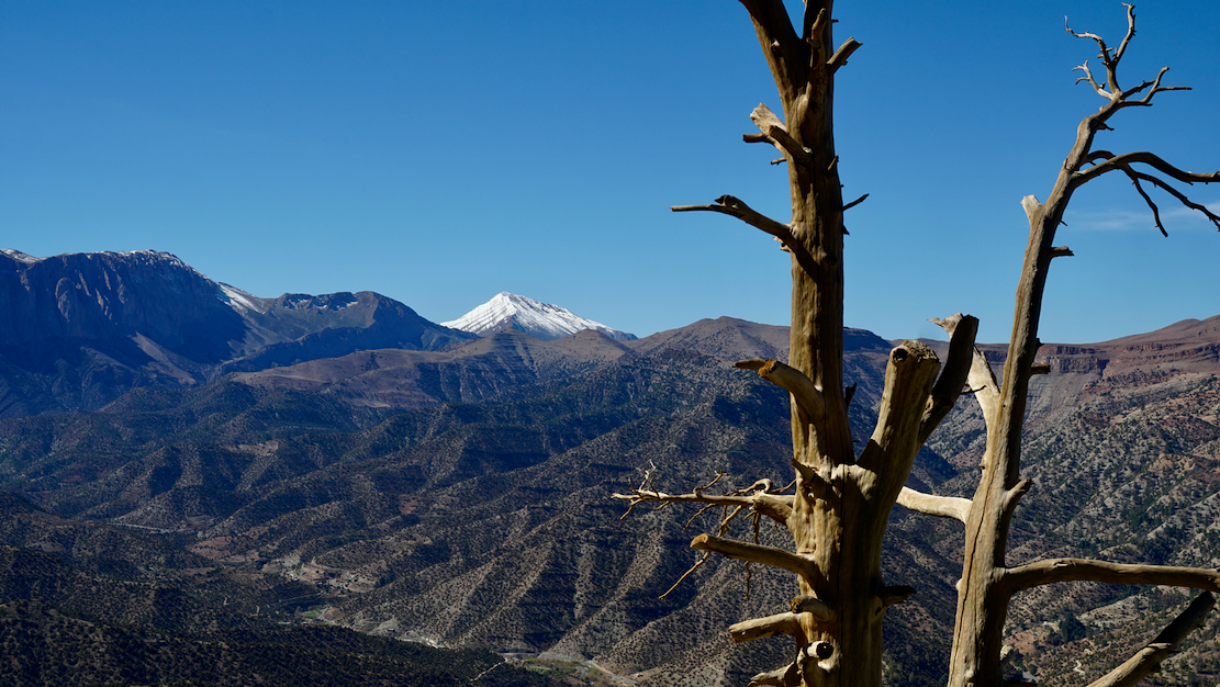
Looking north from the Haroun Pass across the ochre expanse of the Issil Plain to the snowy High Atlas
The issil Plain
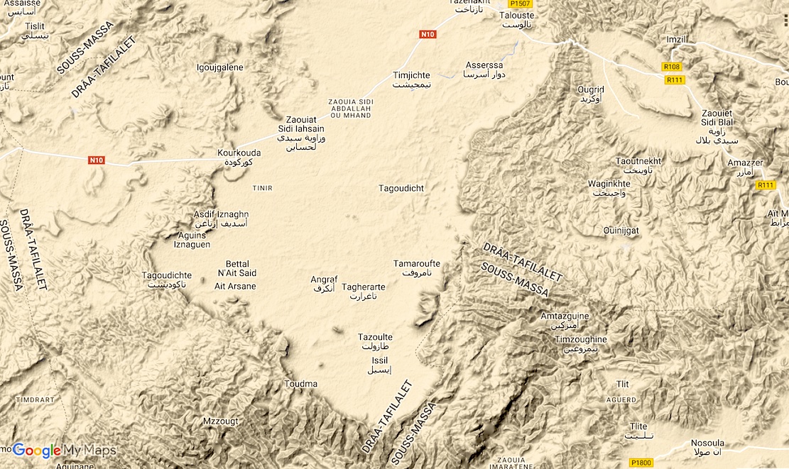
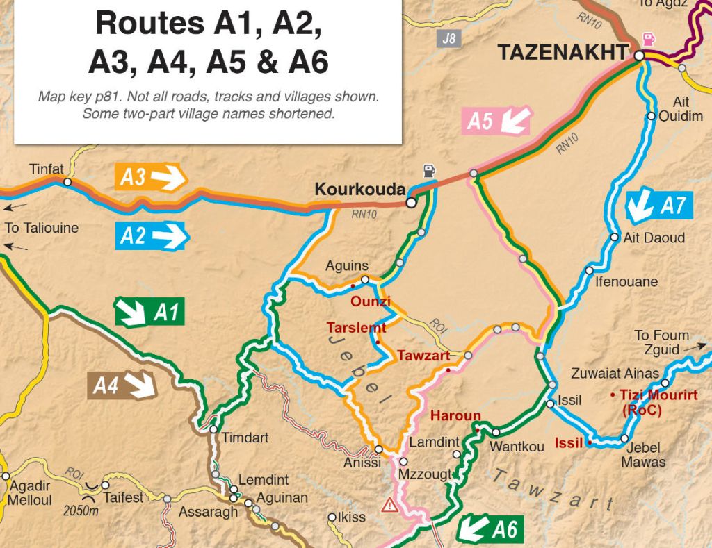
The new book out this week has a bunch of great routes in the A (Anti Atlas) region crossing the Issil Plain which lies between Tazenakht and Taliouine. Both are good bases to kick off a traverse of the plain towards (or from) what I used to call Jebel Timouka but might more correctly be called Jebel Tawzart – an escarpment which rings the plain to the south. These routes cross six passes or Tizis labelled below. From the west Tizi Ounzi, Tizi Tarslemt, Tizi Tawzart, Tizi Haroun, the unnamed ‘Issil pass’ and the Tizi Mourirt which is not on any M4 route but is worth a look and is part of the RoC.
Tizi Ounzi 1750m (Routes A2, A3) West of Aguins, the Ounzi is not so dramatic but is a fun way of accessing or leaving the plain on the west side. Coming down the Ounzi towards Aguins, you get a good view of the Tarslemt pass up ahead.
Tizi OunziTarslemt view
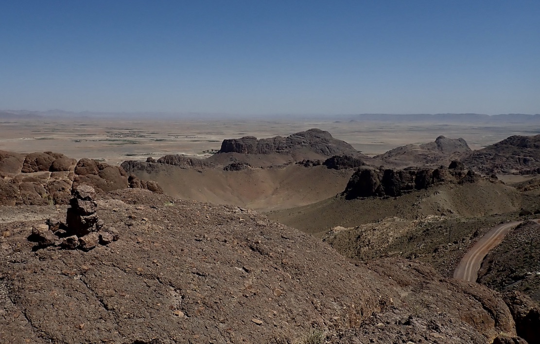
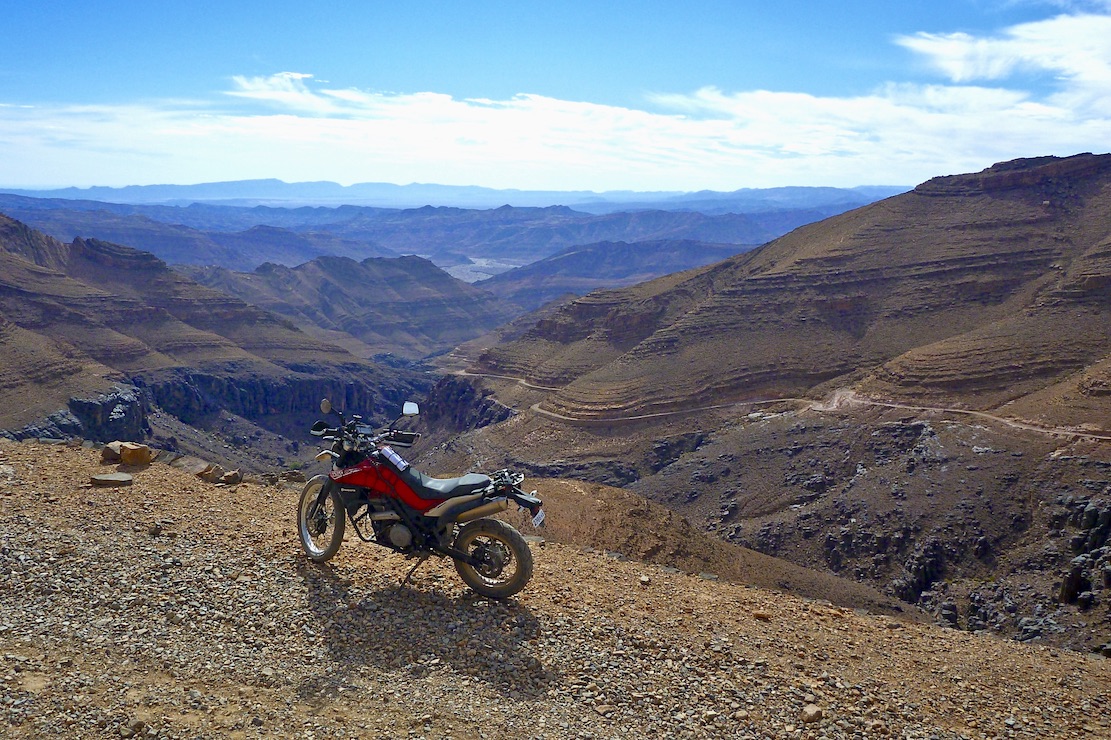
Tizi Tarslemt 1896m (Routes A2, A3) The Tarslemt starts as a broad ramp rising up onto the jebel with great views over the plain before swinging through a few switchbacks to nearly 1900m and down the far side and the canyons beyond
Tizi TarslemtTarslemt summit
Tizi Tawzart 1940m (Routes A3, A5) Tawzart takes a steep line up the jebel from Algouz and consequently got damaged by the recent rains: big bikes may struggle. And as you’ll read in the book, all vehicles may struggle trying to follow Route A5 right down the Anissi canyon. On A3, once you get to Anissi, the track gets more maintained to the west.
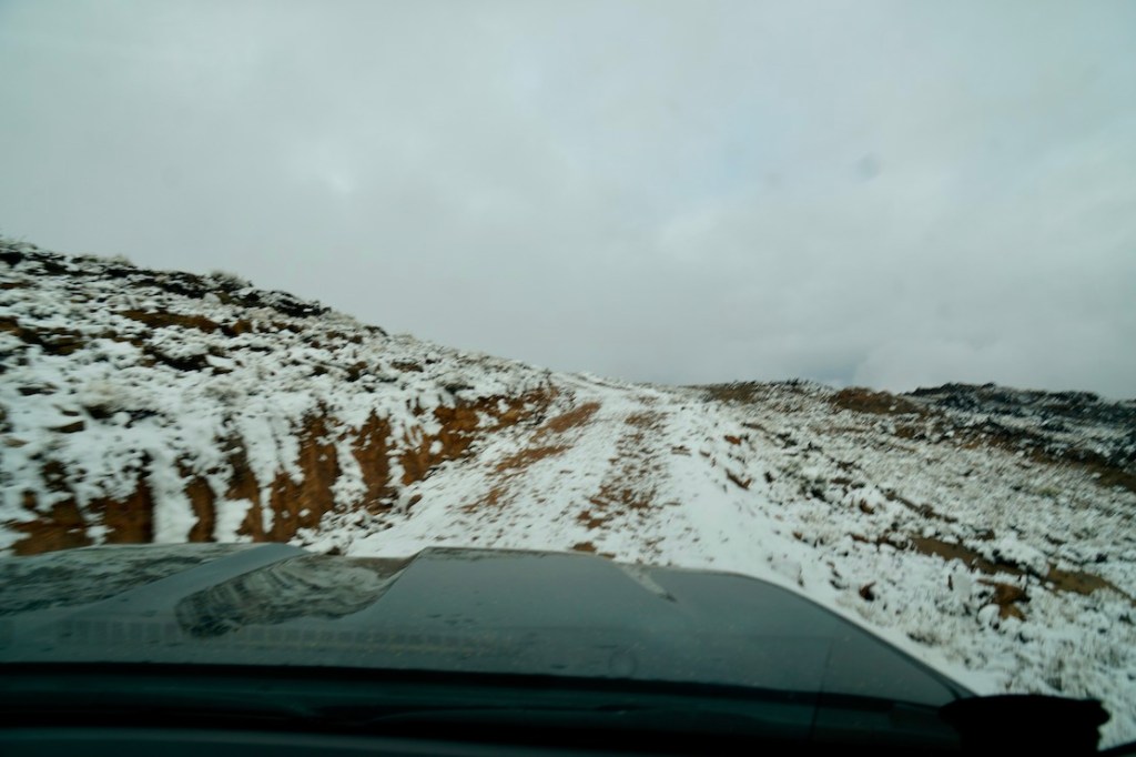
Long climb from AlgouzSnowy Tawzart summit
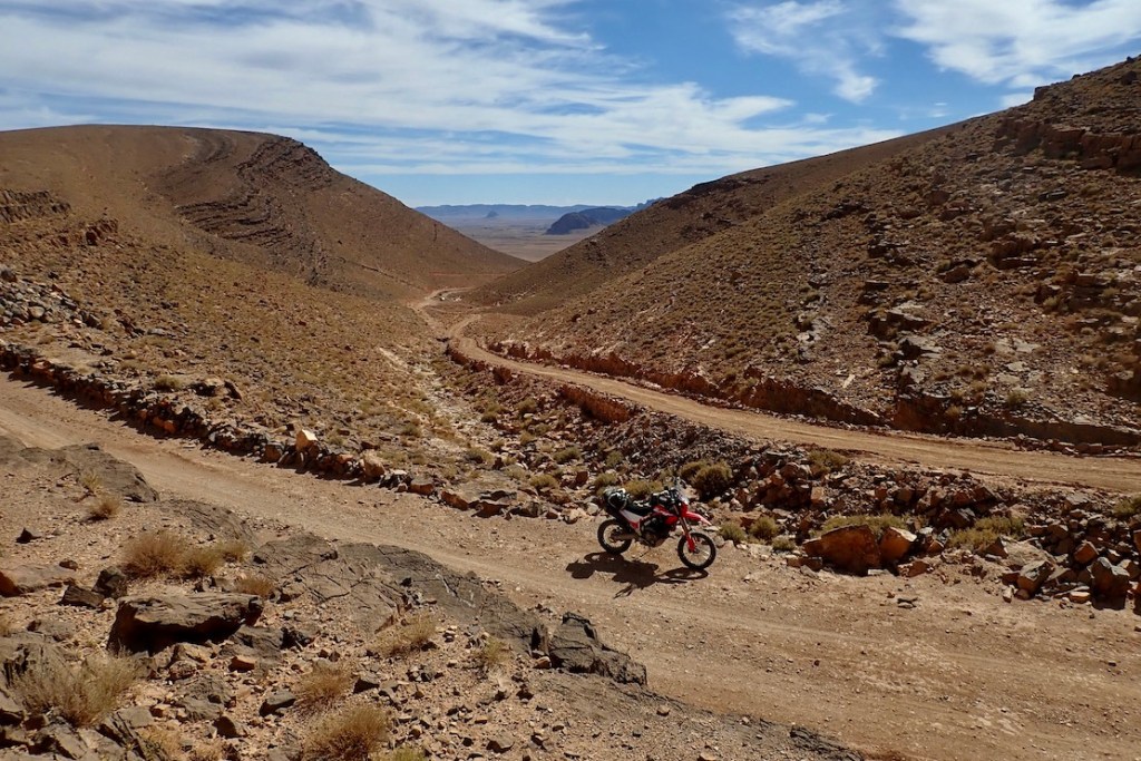
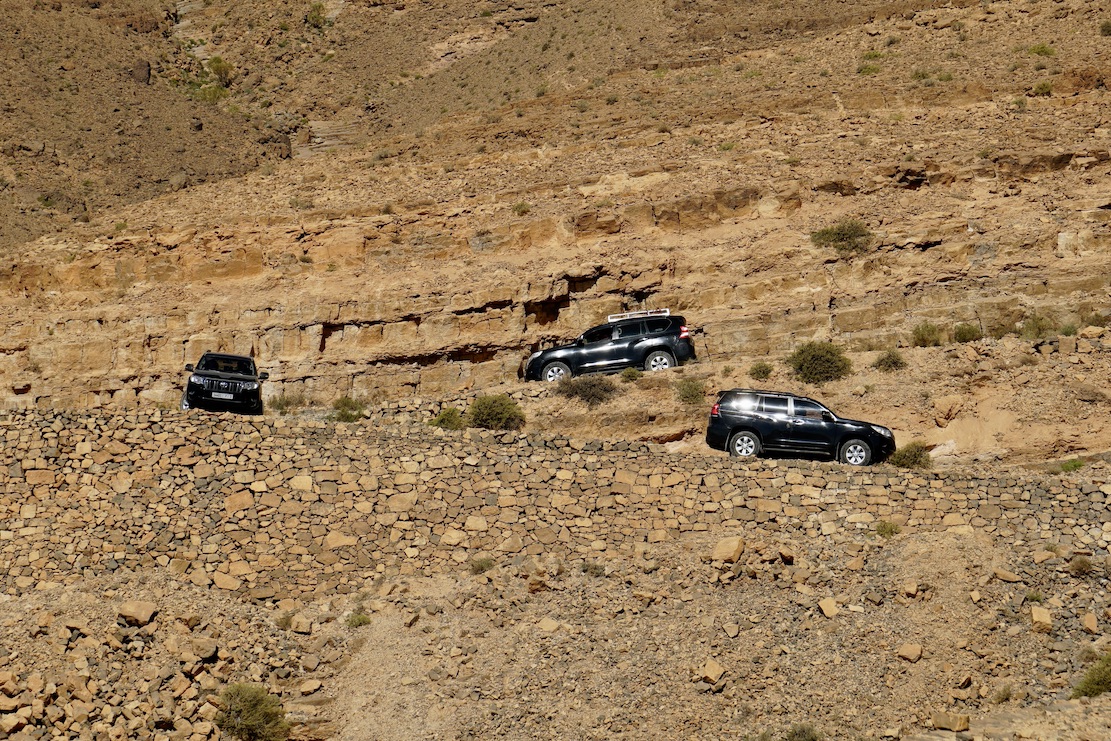
Tizi Haroun 1825m (Route A6) Well known from previous Morocco Overland editions, Haroun rises to give huge views over the Issil plain (top of the page), but after the pylon turn-off down to rock-bound Lemdint, the trail turns into an unmaintained ‘BLV’; in a car expect to be crawling for hours at walking pace. And that was before the big rains…
Slow descent to the desert floorNear the top of the Haroun canyon
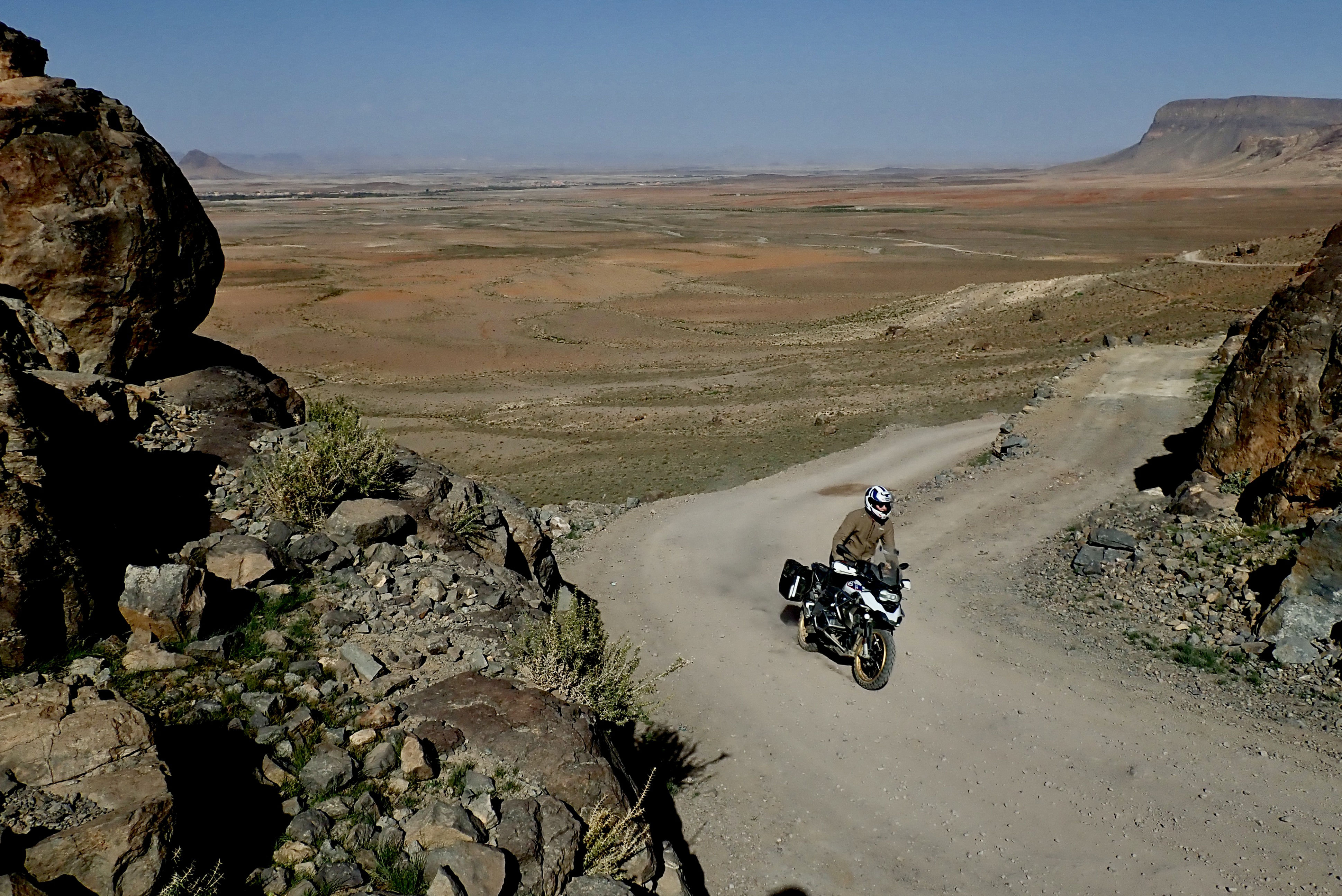
‘Issil Pass’ 1825m (Route A7) I’ve found no name for the ‘Issil pass’, as i call it, another old classic from previous editions, with a jaw-dropping reveal if heading northbound on A7 or the TMT. Riding it last week, the valley to Amtazguine is slowly getting asphalted, but the switchback climb between Mawas and Issil remains an easy and epic gravel track.
Cresting the Issil pass
Tizi Mourirt 1825m (RoC) I’ve often thought there was something up here but never looked carefully enough. The Route of the Caravans pushbikers did and logged a route via Tizi Mourirt (Tizi n’Tlite), which comes down to A7 near Mawas village. One for next time.
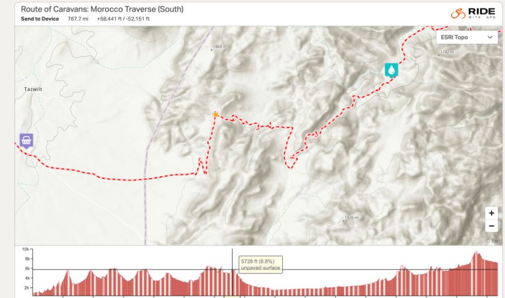
RoC map
ⴰⵄⴻⴷⴷⵉ ⵡⵉⵙ 7 Local Amazigh legends speak of a lost pass somewhere in the Jebel Tawzart, an ancient trade route now known as the The 7th Pass or ⴰⵄⴻⴷⴷⵉ ⵡⵉⵙ7 which got smothered in some Atlantis-like cataclysm, just as a treasure-laden caravan was passing through. It’s thought to lie somewhere in the higher reaches of the Jebel’s rim between Mourirt and Tawzart.
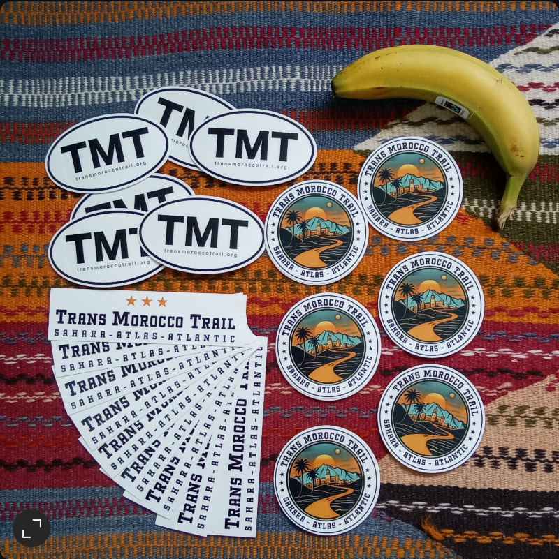
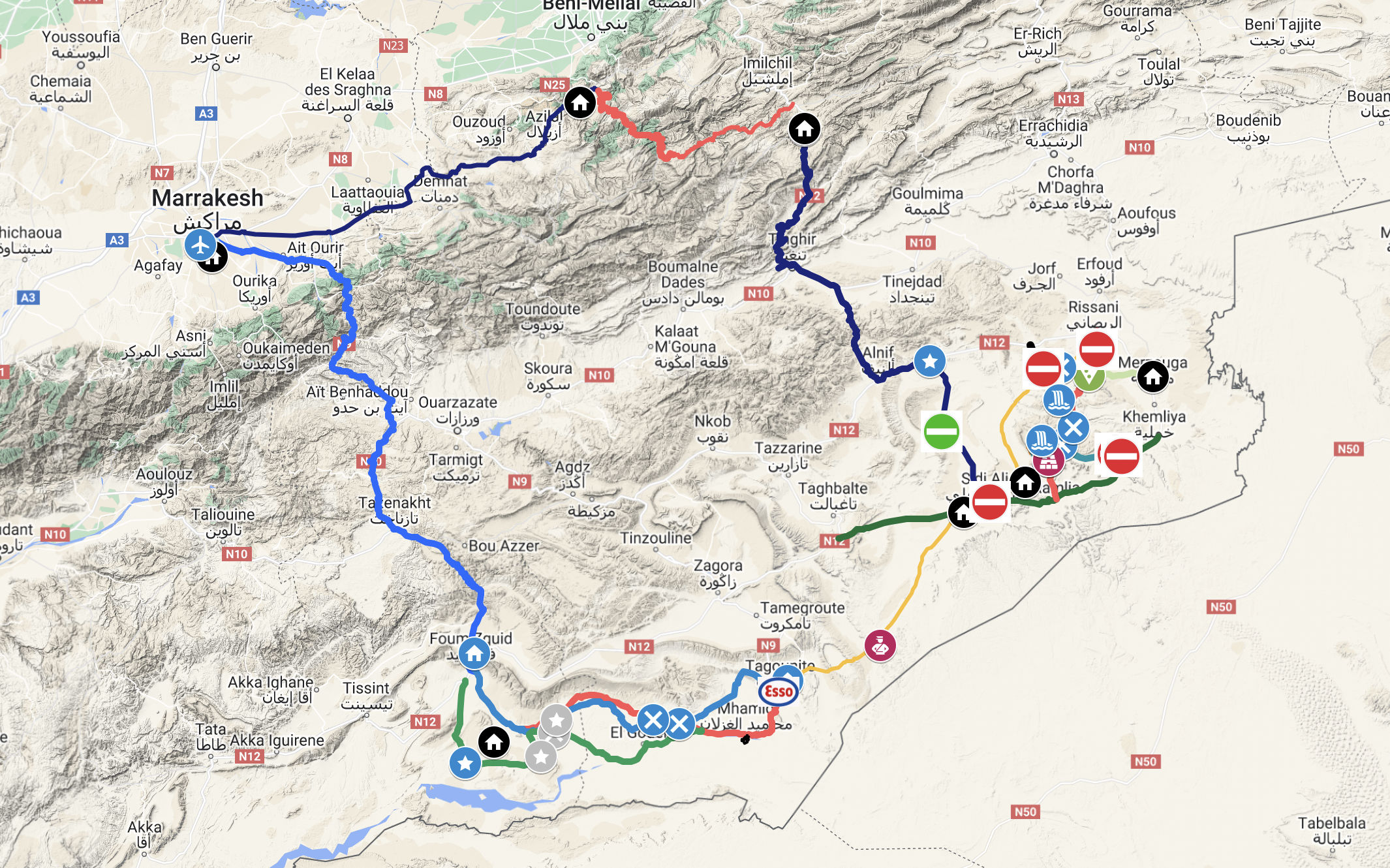
The idea of a Trans Morocco Trail is one I’ve had for ages. And after covering 1000s of km in 2023-4 in cars and on bikes updating my M4 book, plotting a brilliant, see-it-all TMT route was easy. The TMT is the same deal as your TET, TAT etc: a .kml file of verified tracklogs and waypoints free to download off the regularly updated TMT master map above. After that it’s all up to you: do it all; do bits leaving your vehicle there or with rentals; plan it minutely for months on end, or just wing it. Like the North Coast 500, it is nothing more than a network of long existent roads and village access tracks threaded together and given a catchy name starting with ‘Trans’. And like the book, the TMT is not a hardcore off-road challenge because there can be enough of them out there, as the September 2024 floods have shown. Tarmac stages may run for an hour or more, but these are all great mountain roads or deserted desert highways which are all part of the overland adventure. Each stage has a summary on the TMT master map but some – like Stage S including Erg Chegaga perimeter piste – will be unsuited to unfit riders on tall, overloaded motos during a hot spell – which these days can run from April to October. Road or trail there’s always an easier way round that’ll often be as good, or just a way to recover. No need to wear yourself out on the way to Cap Draa unless you want to. I estimate 14 days to cover K to Z comfortably.
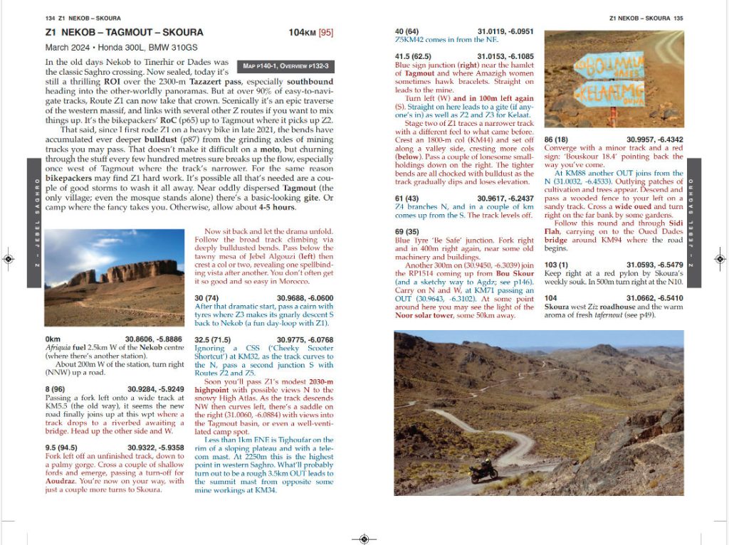
You don’t need to buy my Morocco Overland 4 book to follow the TMT, but there’s another ~15,000km of routes in there, enough for several more TMTs, all with detailed descriptions which include long TMT stages. It could be handy as a tracklog is just a line across the landscape.
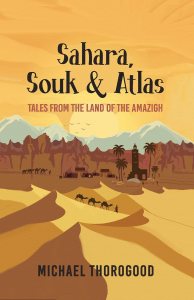
Sahara, Souk & Atlas: Tales from the Land of the Amazigh By Michael Thorogood
In a line Dense history but otherwise disappointing and disingenuous,
What they say Strapped to Africa’s northern shores, Morocco is a staggering land of harsh desert, high mountains and spellbound medinas. Sahara, Souk & Atlas: [Tales from the Land of the Amazigh] recounts two journeys across this land. From spontaneous beginnings, these journeys become a passage to the heart of North Africa’s indigenous people. They know themselves as the Amazigh, ‘free people.’ For millennia, the Amazigh were the dominant force across North Africa. They were a seemingly unconquerable people, but today they are fighting for cultural recognition in the lands where their ancestors lived. This book tells their remarkable story of rebellion and resistance. From the souks of eccentric Marrakech, to the guilds of pious Fez, enclosed are tales that dig to the roots of Moroccan society. Brace for a gripping journey through a land of diversity, from the tribal High Atlas and lawless Rif, to campfire folklore beneath the stars with desert nomads, whose way of life is on the brink.
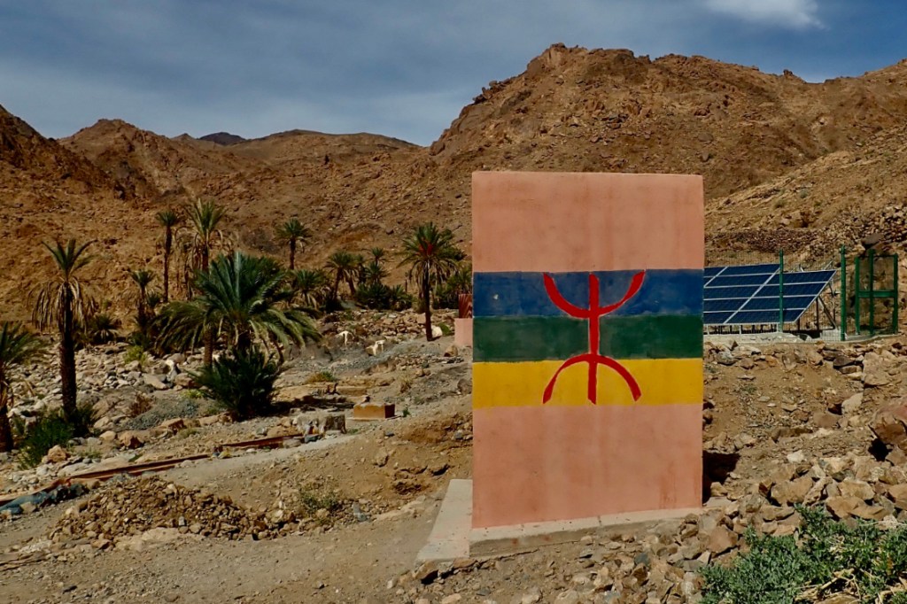
Travelling as I do, mostly through the Amazigh lands of southern Morocco and wanting to learn more, I was hooked by the title and cool cover. For less than a couple of quid it was worth an e-punt. More commonly known as ‘Berbers’, a term coined by the Romans (Barbary Coast is a derivation), Amazigh is what they call themselves, meaning the free people. From Siwa to the Atlantic, the Amazigh are the indigenous inhabitants of North Africa before the Arab conquest of the Maghreb in the 8th century. Had I noticed the telling ‘this is a work of creative non-fiction…’ disclaimer, or better still, just looked at the map, I’d have clocked how superficial the author’s Moroccan travels were. To be fair, Thorogood admits he was just 20 on his first visit, and maybe a year older on the next. Both were holidays undertaken with largely unmentioned backpacking chums. An overnight camel trek round the back of Erg Chebbi seemed an odd start. Then the penny started dropping when the group visited the leather dyeing souk in Fez, another odd place to get under the skin of the modern Amazigh condition. By the time they were larking about on a home-built raft below Ouzoud Falls – the ‘Todra Gorge’ of Morocco’s few waterfalls – pennies were spilling over me like I’d hit triple gold on a slot machine. The ‘lawless Rif’ you ask? That was a day trip to Chefchaouen. Amazigh consciousness or identity has prospered in the reign of the current King Mohamed VI, and one thing you learn is that their subjugation (banning of the Tamazigh language and so on) was introduced by his cruel and oppressive father Hassan I – part on an old Arab Alawite dynasty who established modern independent Morocco. Since Arab Spring protests of 2011 lead to limited reforms, we also learn that Amazigh identity has become more noticeable and the neo-Tifinagh alphabet more visible. You will also see the yaz (‘z’) figure of the ‘free man’ all over southern Morocco, both as furtive graffiti or bold banners, much like you see the Ⓐon a Hackney wall, ‘Oc’ in the Occitan lands of southwest France, and perhaps the fish symbol in the early Christian era. These Banksy-an icons suggest the mystique of an underground movement and underdog’s resistance to the established order. And just as with the Tuareg, some westerners are drawn to romanticise the ‘free people’.
Critically, the author was held back by barely speaking French (far less, Tamazigh) and so could only engage with the few English speakers at the tourist traps they visited. Here of course, like the tourists before them, they were spoon feed the practised Amazigh ‘of the desert born…’ schtick about the Ways of the Nomad. These encounters added nothing other than travelogue padding (with laughably exaggerated episodes), compared to the much more detailed historical research of Amazigh dynasties from the Arab conquest onwards, which read like another book. We read that the idea of a united Amazigh identity was always a far fetched notion, as medieval Amazigh clans and movements rose and fell: Almohadin ousted Almoravid and so on. Then a growing Arab population established its dominance from the 15th century and, like much of the Maghreb, Arabisation followed. By this time, after several centuries southern Spain’s Al Andalus had been reconquered by the Christians. All very wiki-interesting if a bit too dense for me, and possibly the subject for the author’s thesis he may have been writing at the time. I suspect this book span off that thesis, the old idea of: heck, we had a great holiday in a foreign land, let’s make it into a book. I know it’s only blurb but claiming that ‘these journeys become a passage to the heart of North Africa’s indigenous people’ is sadly, preposterous. Sahara, Souk & Atlas is a long way from what the title claims: an anthropological study of a contemporary Moroccan underclass seeking to improve their prospects against the dominant Arab elite or Makhzen. It was not the book I was hoping to read.
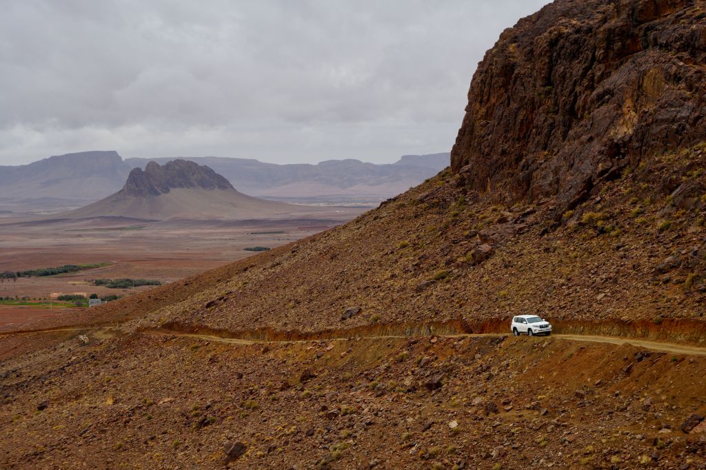
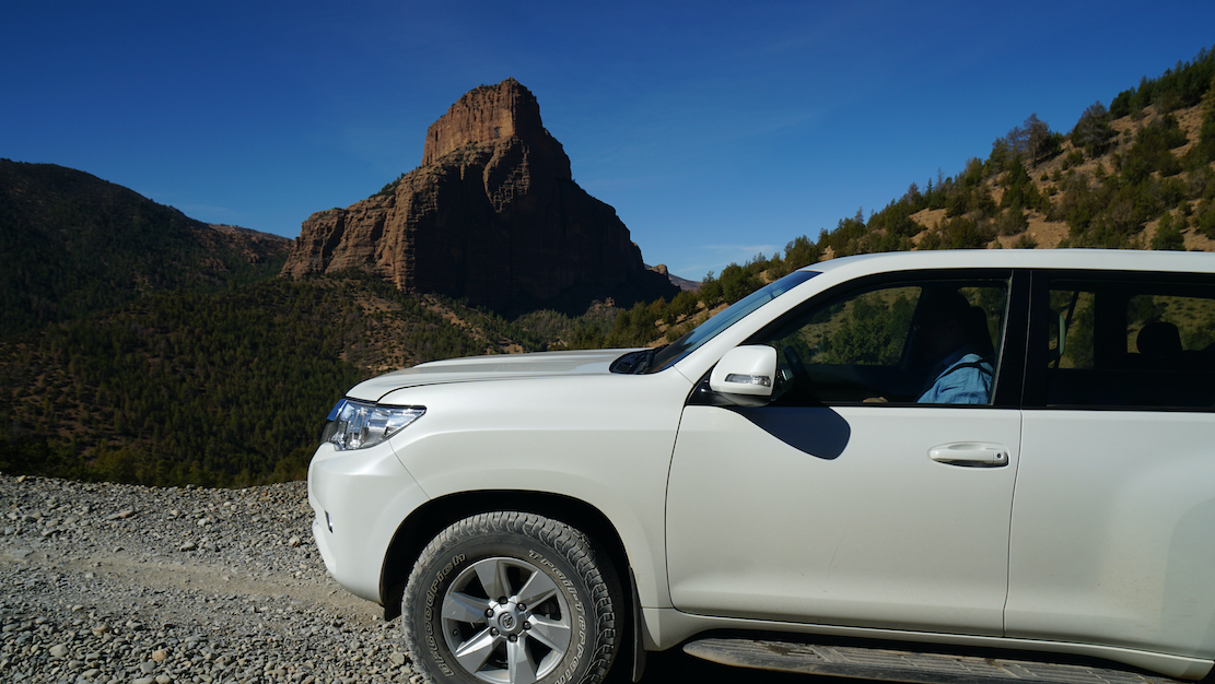
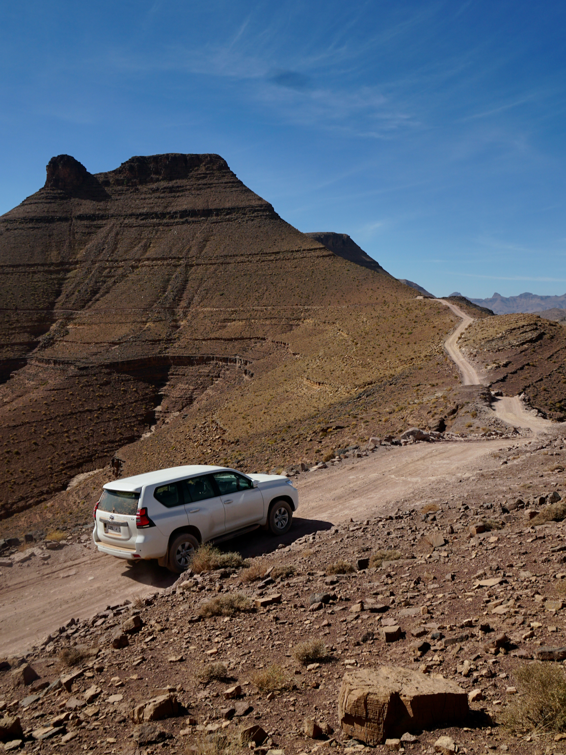
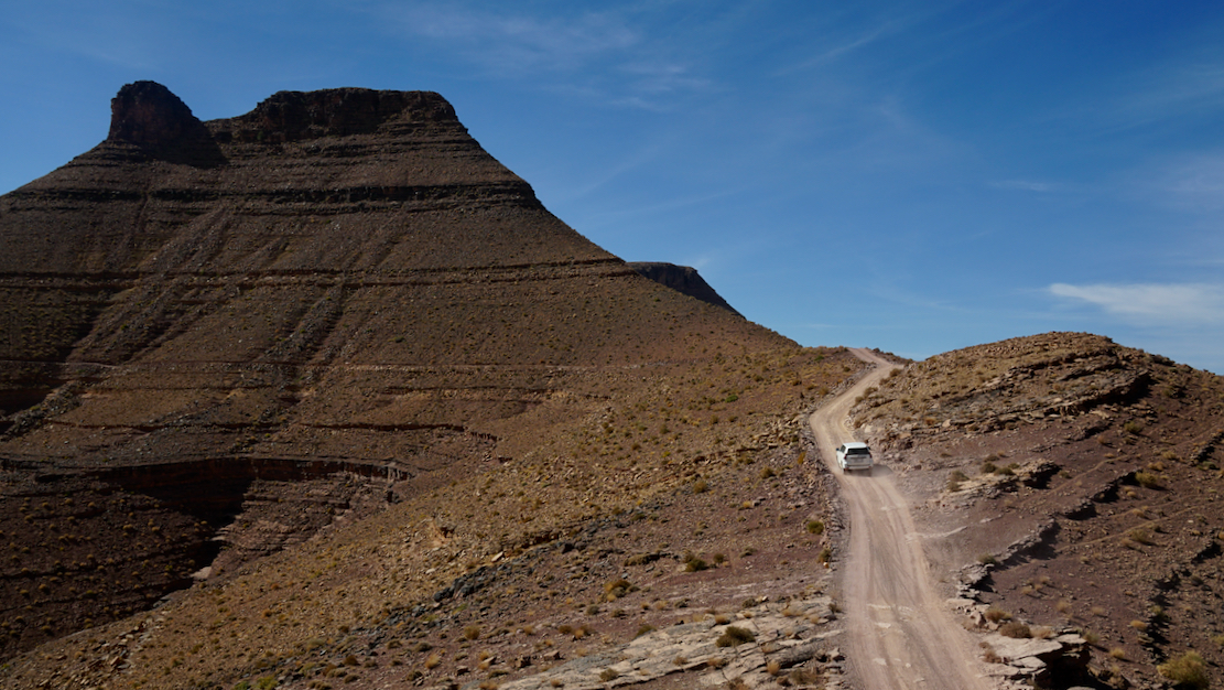
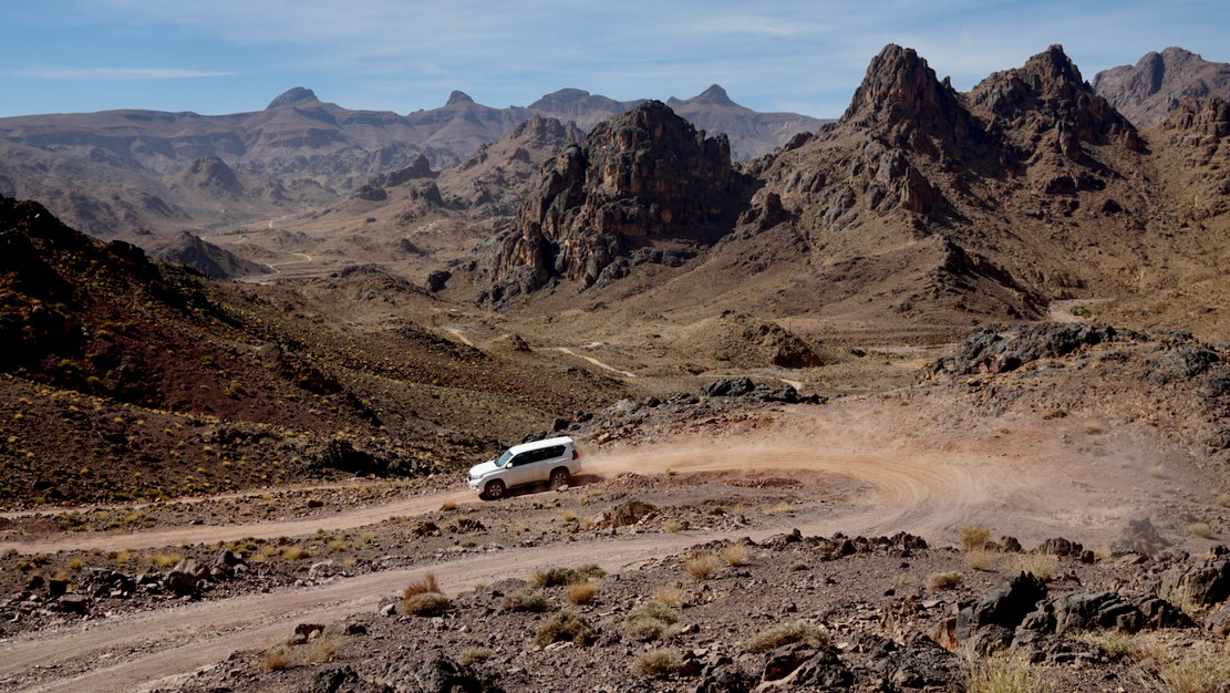
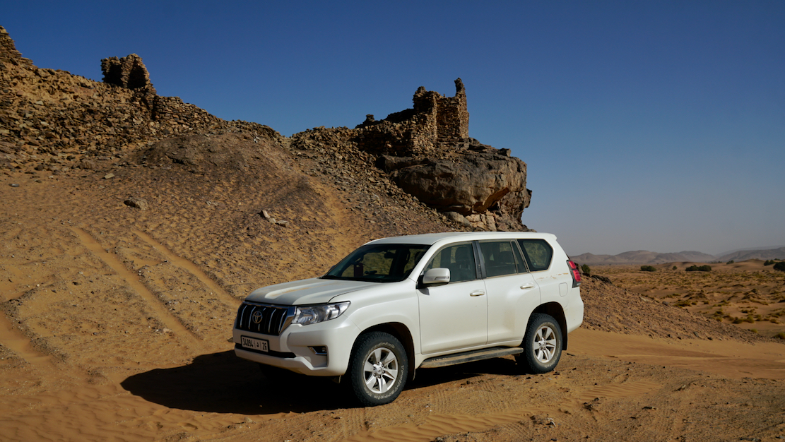
I rented a lifted, 2023 Land Cruiser Prado TX out of Marrakech for a week to recce and update the sandier desert routes between Foum Zguid and Erg Chebbi. I made the right decision: doing this area alone on the bike would be been too risky and tiring with the constant logging required. I couldn’t have covered the distances we did in the car.
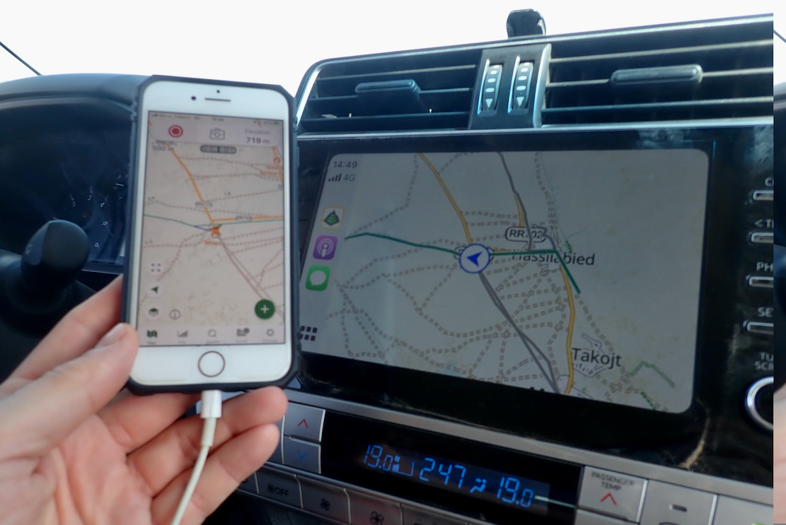
The Toyota of course didn’t miss a beat. A TX is automatic but with a Sport (sequential) shift to keep it in one of the four gears; handy in tricky dunes and other technical sections. About the size on an 80 series (ie: big), it returned 9-10kpl (compared to 15kpl in a lighter Duster). Still, I’m glad we went for the nuclear option. Though we hardly used low range, it was good to have it there, along with the TX’s reassuring reputation. Amazingly, we paired an iPhone with the display in seconds via Apple/AirPlay (not possible on the Duster), but could not plug in a USB stick to play mp3s, which the Duster easily allowed. It probably could have been done via the phone, too.
At one point we decided to do a Body Twist Test: getting two diagonal wheels airborne to verify clean door shutting. If a body twists under this static tension with two corners unloaded, doors will not close or open freely, even if the separate chassis is twisting a little (as it should). But even with all doors open, the TX passed with flying colours; not a mil of body deflection in the shut-lines. As you’d expect from a Land Cruiser.
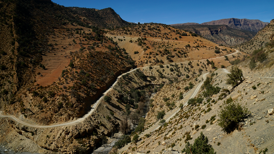
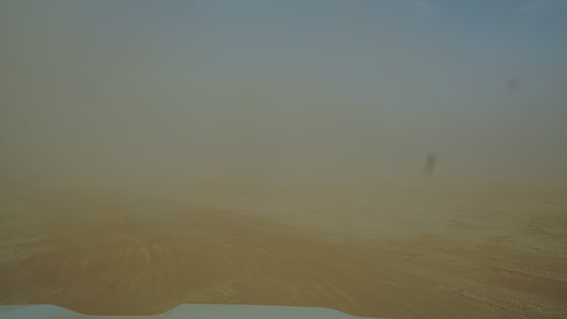
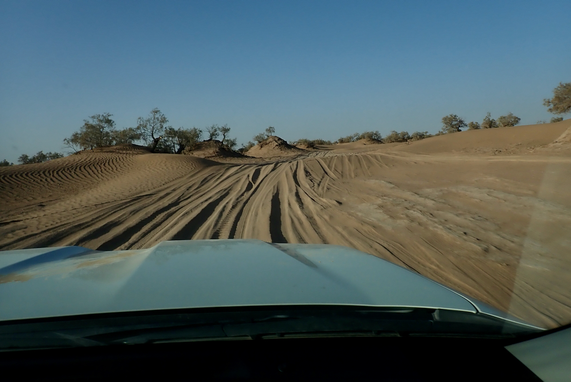
And yet, despite the big rubber seal, the TX sucked in dust from the back door or somewhere. This was perhaps the biggest irritation, but is the same in any car with a flat-backed tailgate. I get less dusty on a motorbike. I recall we taped up the back vents in my HJ61, over 20 years ago, but with little success. At high speeds on dusty tracks, I suppose the low pressure across the rear of the car is too great. Anyway, we covered all the routes I planned to do and even a little bit more, and overall the trip was a bit more comfortable in the Prado (partly due to the reduced ‘will-it/won’t-it’ stress). Our TX cost €110/day (down from €150 last year); Dusters are now €50/day from Medloc). A few pics from out 1500-km recce.
To paraphrase the cop addressing Jack Nicholson’s character at the end of Chinatown: ‘Forget it Jake, it’s the internet.’
Exactly where does the iconic and eminently Instagramable majesty of Sahara start in Morocco? Like Keyser Söze, is it even there at all? Years ago I came across an internet forum argument on the now defunct LP Thorn Tree (I gave my 2ç then left them to it). There, a couple of know-alls lambasted the callow innocents daring to enquire where they could ‘see the Sahara in Morocco’ – in most cases referring to the famous Erg Chebbi dunes. ‘I told you: there is no Sahara in Morocco!’. All concerned have now migrated to TripAdvisor from where the quotes below were copied. It staggers me that some of these individuals can assert their unsubstantiated beliefs with such conviction, but such are the times. According to one of TA’s wise owls, ‘Erg Chebbi is not in Sahara, desert it is but not Sahara‘. So the Sahara is ringed by an unnamed desert that is not the Sahara?
… neither … Erg Chebbi/Erg Chigaga are the Sahara. For that you need to head to Western Sahara. Ok, we know that but we want just see Sahara and ride camel The limit of the Sahara is classified by the limit of the Date Palms the Sahara,… lies 100 km or more to the south in Algeria. Although not part of the Sahara , the dunes are pretty amazing. It also corresponds to the 100mm isohyet in the north and the 150mm isohyet in the south. Long term average rainfall. A further definition is where the evaporation potential exceeds the presipitation [sic]. I don’t care what “Sahara” means. I am talking about the actual geographical boundaries of the area. And your definition of those boundaries is as incorrect and misleading as that of the ridiculous tour companies’ one. Erg Chebbi is not in Sahara, desert it is but not Sahara. If you by reading see on website about Sahara tour, then it is only marketing to attract customers. But Sahara begin first in Algeria or you have to go to the South of Guelmim, to Western Sahara. Here we go again with the “Erg (Chebbi/Chiggaga) is not the Sahara” brigade. What’s wrong with you? What’s a few hundred miles between friends? Jesus H. Christ. May I just make one thing clear? You will not be travelling through the Sahara desert until you have gone south of La’ayoune. References to the Sahara in other places such as Erg Chebbi and so on are simply concoctions dreamt up by tour companies to fool their victims into thinking that they have been to the Sahara – they haven’t. To the east, the Sahara starts way over the other side of the border, deep into Algeria. the Sahara if [sic] 100’s of kilometers away from the big dune areas over the border in Algeria and not in Morocco [continues] ... [Chebbi] is more spectacular than any of the places in the Moroccan Sahara that I have visited.
This way please.
This knotty problem of the Sahara’s precise extent may be unique to Morocco. You start with the very concept’s compelling mystique. It’s hard to think of other wilderness regions that conjure up such strong imagery and notions, maybe because it’s so close to Europe compared to other iconic wastelands. Then you mix in the unceasing clash between gullible bucket listers wanting to definitively tick off the Sahara – and devious local tour ops who promise the earth and deliver a turd. One wily tour agency has even managed to insert themself as a ‘reference’ on Wiki’s ‘Sahara desert (ecoregion)’ page. This seems to be the angled grinder which the naysayers above fixate on: if some Moroccan cat in an oversized cheche strolls up and says ‘Hello my friend. Come, we will drink tea with nomads and I will show you Sahara’, you can expect to be a little disappointed.
As with all geographical features (seas, mountains, etc), it’s tempting but futile to apply fixed boundaries to their precise extent, as if they were a country. Where exactly does the Southern Ocean become the Atlantic? Where does the Karakoram become the Himalaya, or the High Atlas become the Anti Atlas for that matter (along the N10 highway, of course!).
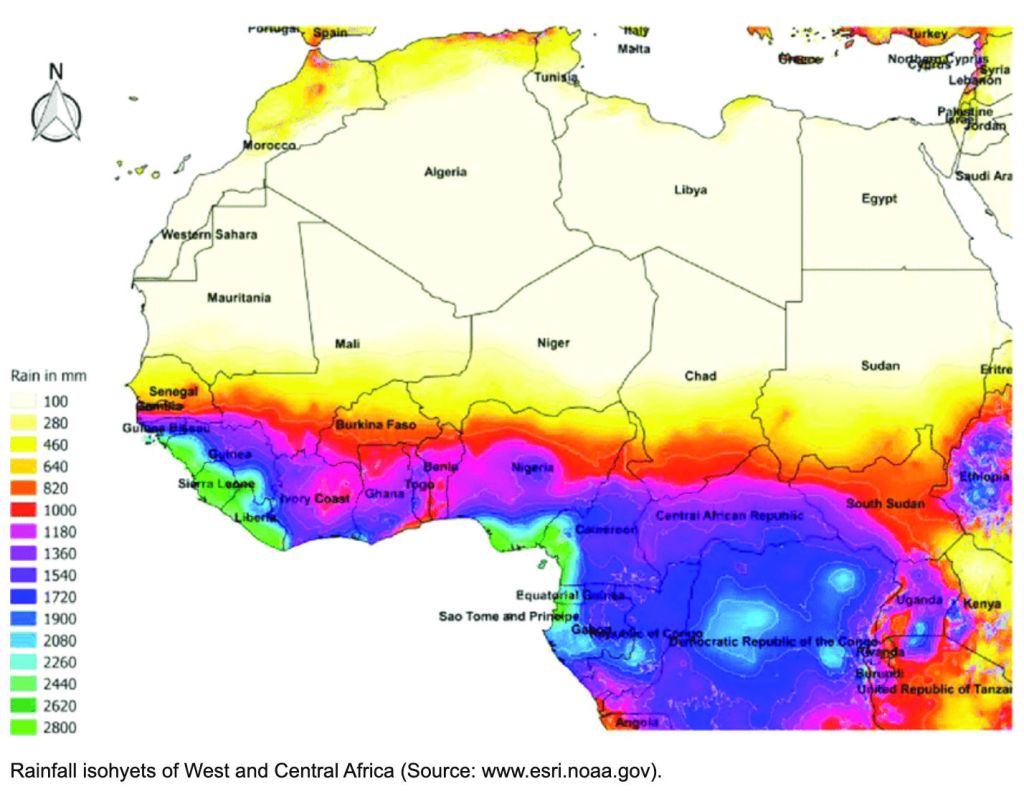
It’s only rain
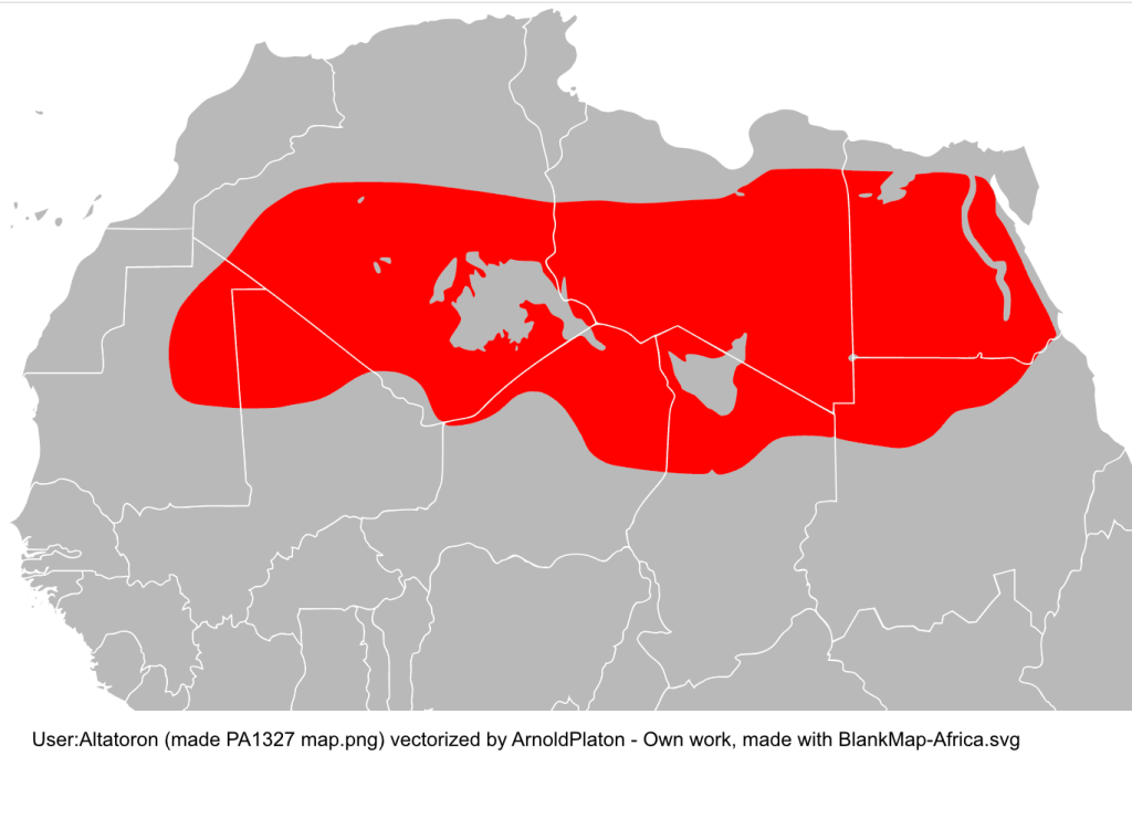
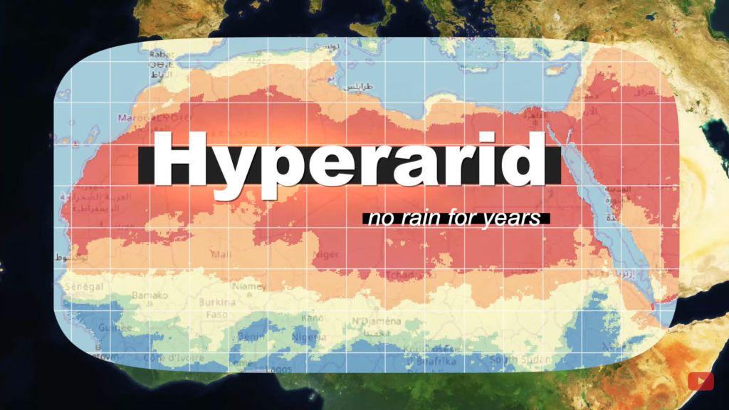
It’s the same with hot deserts, commonly defined as arid regions with less than 100mm of average annual precipitation. Unlike a sea shore, there can be no finite edges identifying this change in rainfall; to imply otherwise would be absurd. In this way the NOAA map (above) is rather more nuanced, showing blurred transitions, not fixed isohyets (rainfall contours) between regions. Both the hard-edged yellow and red maps below could benefit from the same idea.
Sahara map from Wiki The hyper-arid Saharan core from another Wiki
Chebbi-aye-yay
According to this ridiculous website, (sadly, the first that popped up on my Google) it appears to rain every other day in Merzouga/Erg Chebbi. (The ‘sea temperature’ there gets pretty balmy too – or maybe they mean ‘sand sea’). This source for Merzouga looks rather more plausible: 65mm. Another estimates 53mm. yet another 172mm. This French Wiki gives 59mm. Let’s assume it’s not Kew Gardens down there and it comes in under a 100 mil most years.
Another map with a red zone straying over the Moroccan border. Can’t be right! Source
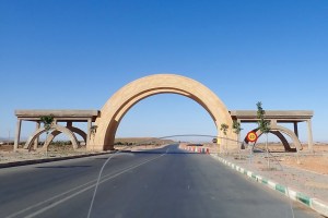
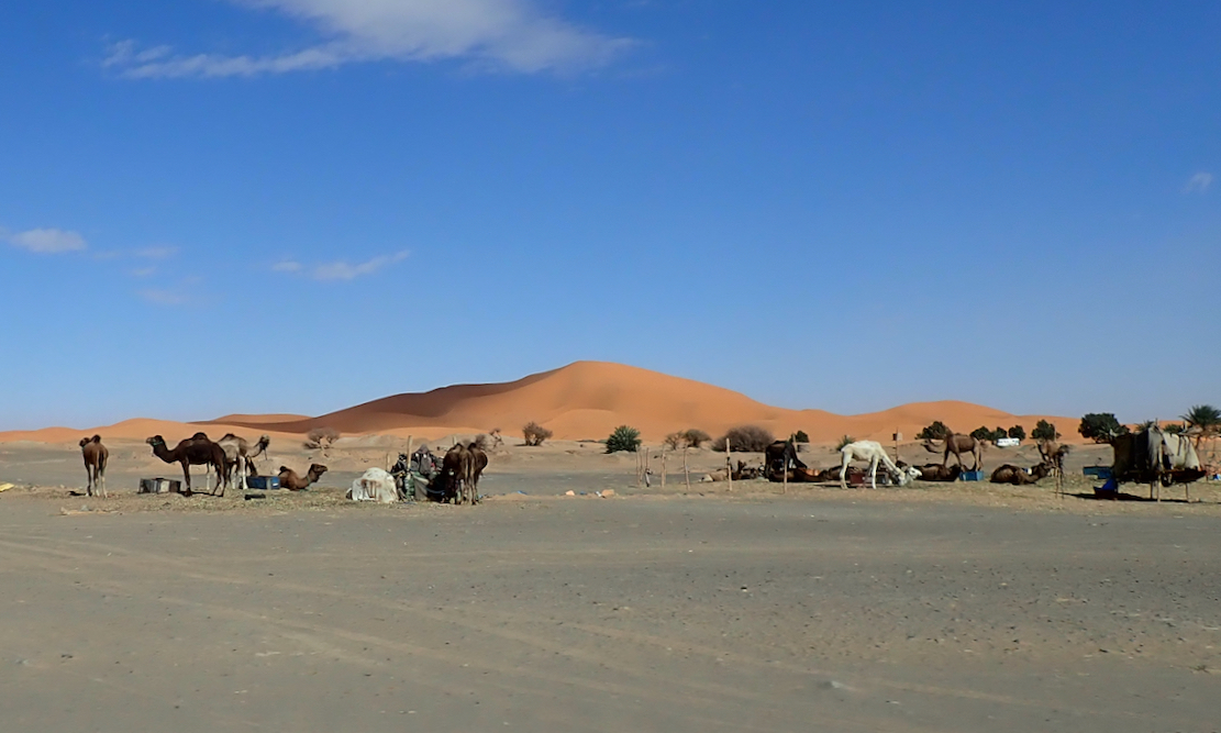
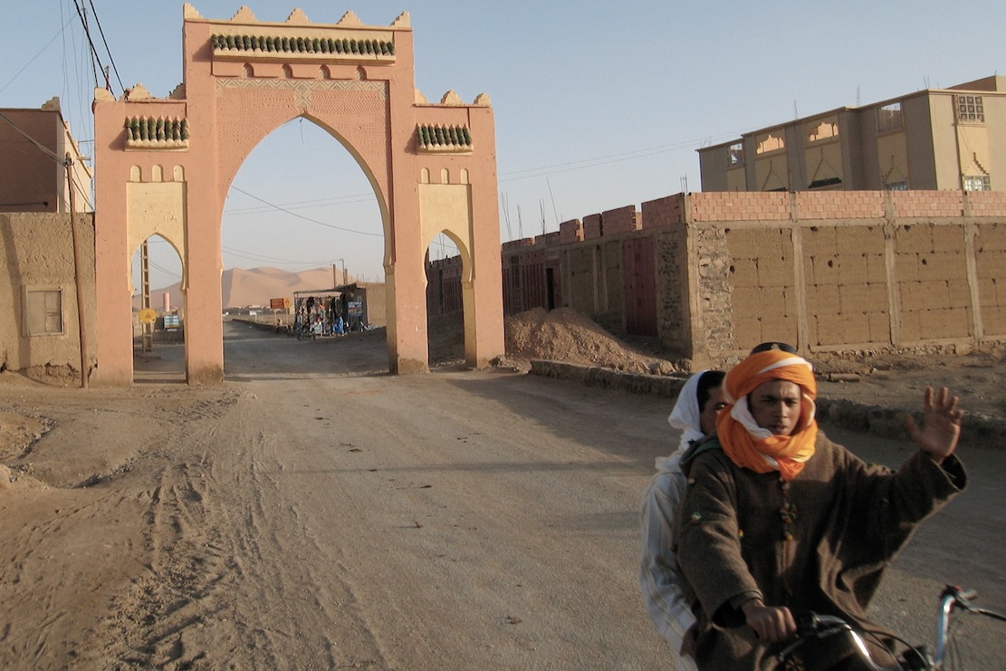
Archway into the desert, south of Guelmim (iirc)
Not all accept the level of aridity as a definition (‘I don’t care what “Sahara” means…‘), but they don’t cite any sources to explain their assertions about the Sahara’s boundaries. Instead, some of the TA dolts avow the Sahara lies ‘100km south of Erg Chebbi’ (ie: in Algeria). Others insist ‘200 miles’ from Chebbi. Final answer: ‘100’s of kilometers away’. Some even proclaim they magically entered the Sahara at Guelmim in western Morocco because ‘it is officially known as ‘The Gateway to the Sahara’’, surely a bald, tourist-oriented claim in a town famously thick with faux Tuaregs.
Leaving the clammy Tropics. Scorchio!
Others insist that, to be in the Sahara in Morocco, you must go ‘beyond Layounne’ (left), a fairly boring road trip, even for a dedicated bucketeer. What will they see on the way there? It may look like a desert, walk like a desert and quack like a desert, but it sure won’t be the Sahara! No matter – give it a few decades because it’s said the climate in Morocco will see the Sahara creep over the berm and into Morocco.
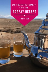
You can see why some of your forum know-alls get cynical, myself included, even if I believe they’re dying on the wrong hill on this one. Lately, some canny marketing has designated an area of eroded wasteland ever so conveniently close to Marrakech’s gated resorts as ‘the Agafay Desert’ or ‘le petit Sahara’ which ‘extends over several hundred acres’. There you can do all your favourite deserty things: sip tea in a tent, wear a cheche or ride camels, quads and 4x4s across a landscape where the barren rounded hillocks of dried mud resemble dunes. Insta heaven!
Some academics have sought to reclassify the liminal sweep in question as the ‘North Saharan steppe and woodlands‘. Aka: the edge of the Sahara where things gradually become less arid, like the Sahel in the south. But looking at the zone on the map below, ‘woodland’ is not a word which springs to mind. The band encompasses the vast Grand Erg Oriental spreading across Algeria (left) and southern Tunisia – about as Saharan an expanse anyone could wish for which would swallow up hundreds of Chebbis. The only woodland here is of the petrified fossil variety, west of Hassi bel Guebbour.
Selima
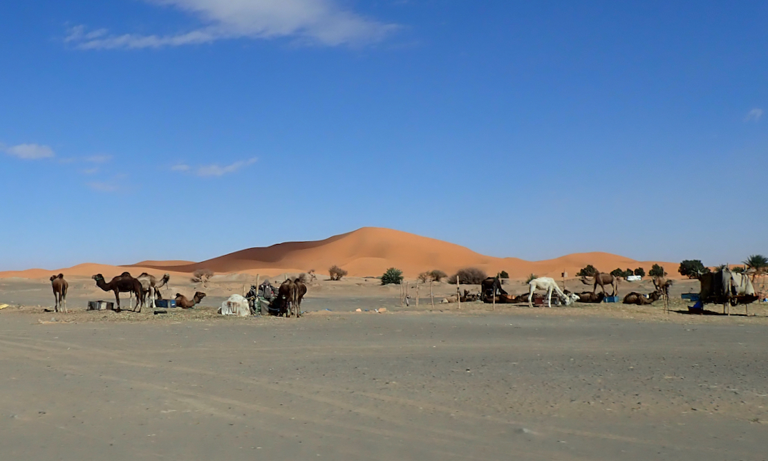
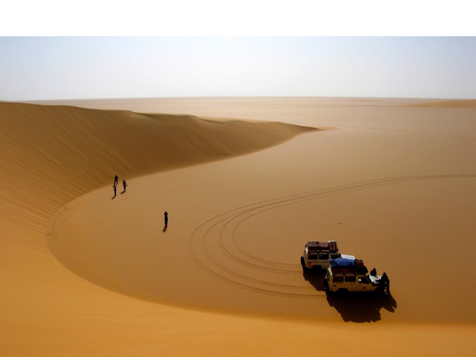
Me? Having travelled much of the Sahara over the last five decades, if you pushed me blindfolded out the back of a Hilux behind Erg Chebbi and removed the hood, I’d get up, smell the air, squint at the sun and guess I was in the Sahara. It may transpire to be the edge of the Sahara in boring old Marrokie, because vegetation and rainfall change in a very short distance (by Saharan standards) in the mountains to north. But from Chebbi south and west along the Algerian border all the way to Tan Tan, it all resembles the Sahara I’ve seen – often dreary, sometimes epic, often barren, vegetated in patches, hyper arid elsewhere – all the way from Mauritania’s Adrar plateau to the Selima Sand Sheet (left) close to the Nile.
Camels? Dunes? Palms? What else could be be?
If anything, Erg Chebbi is just too darn Saharan for school and so has become one trampled terminus of Morocco’s Axis of Tourism, a quad-busting desert resort. I avoid the place. Over the years the pretty cluster of dunes at the end of the road has become choked with desert camps, kasbah-hotels, a few opportunist sharks and us tourists doing the dunes by various means. In that sense it is very much not what I know of the real Sahara, but caught right, Chebbi can still be an amazing sight for a desert first timer. You’re on the very edge of the Sahara. Which side you’re on is up to you.
… until Tizi n Telouet: there, all greenery ceases; the burning breath of southern winds denudes the mountain’s rocky skeleton. Charles de Foucauld’s Reconnaissance au Maroc, 1883–1884
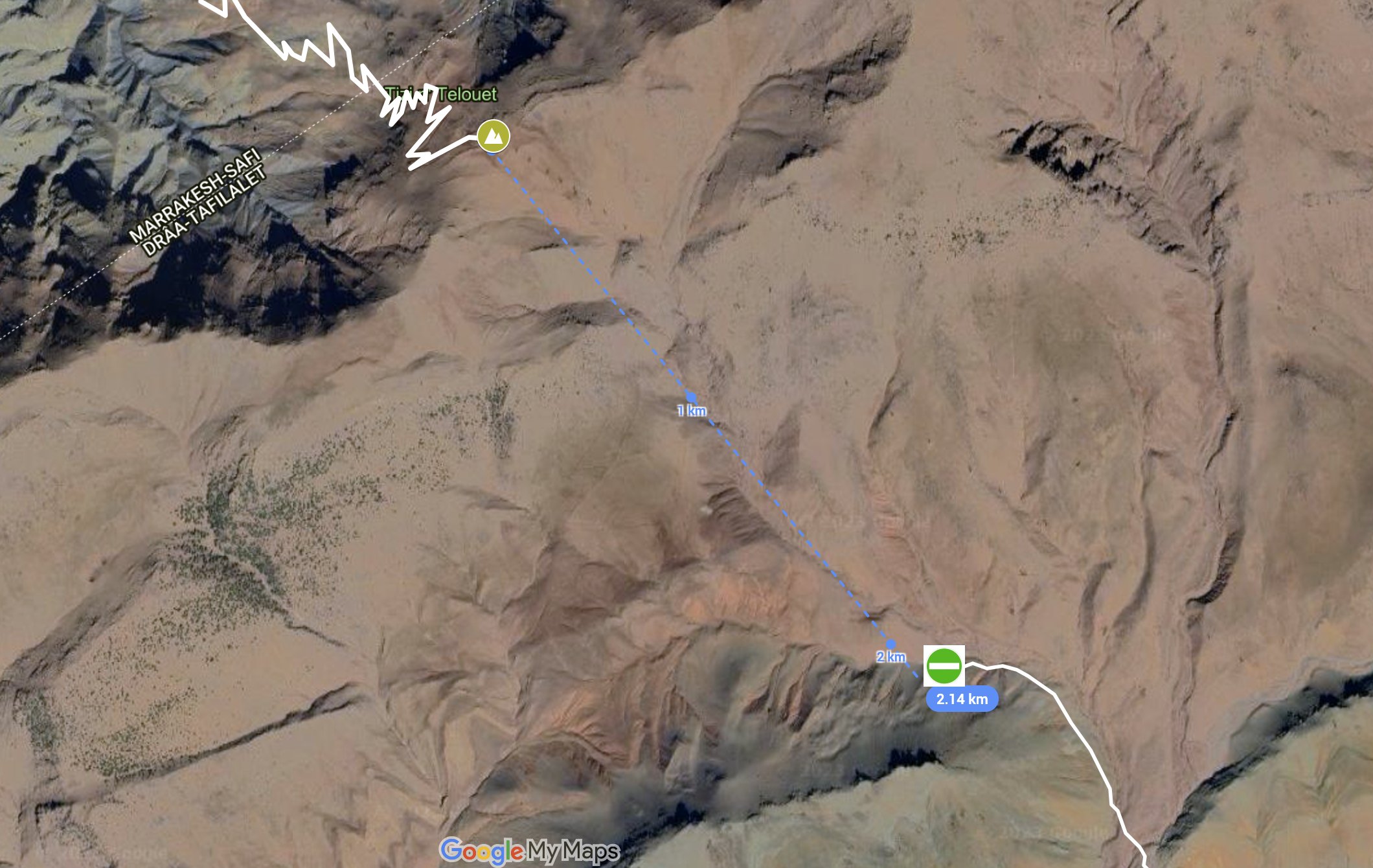
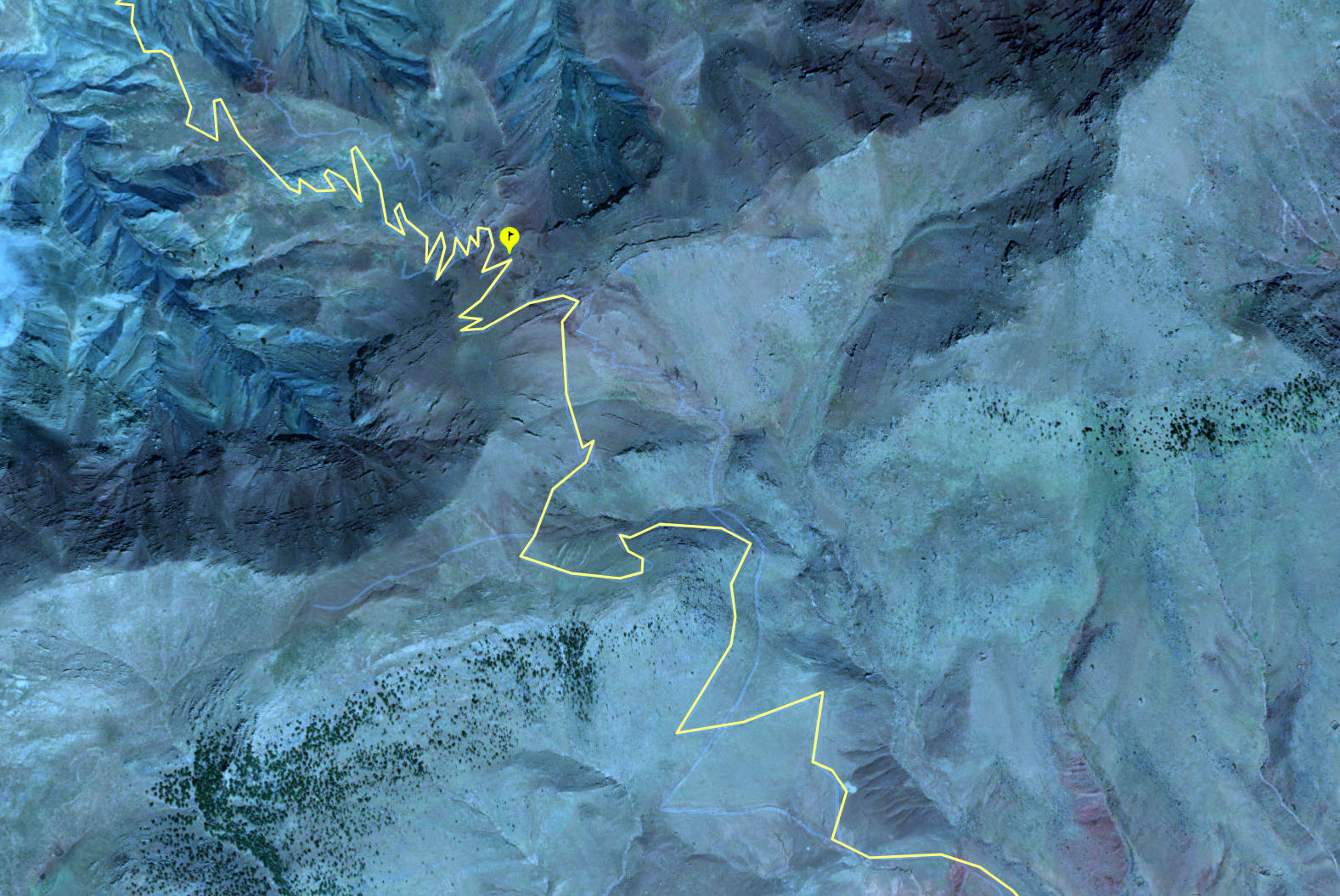
While scanning aerial mapping for new pistes in the High Atlas I came across an intriguing possibility. A seemingly good track lead 24km off the N9 via a village or two to the 2450-mTizi Telouet pass on the High Atlas watershed (31.3372, -7.2663), a few miles east of the Tichka pass on the N9 trans Atlas. From that point southwards the way ahead was an obliterated mule path, but picked up rideable terrain in just two kilometres, with Telouet town visible nearby. Downhill on a light bike, walking where necessary, it might be doable, no? ‘Who wants to go first?’, I quipped on Twitter.
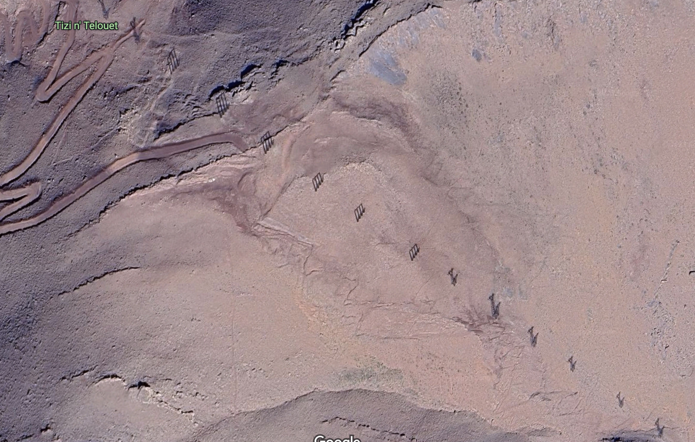
Once it was mule trains of salt from Telouet’s mines, but today, like the grand old Duke of York and his 10,000 men, a column of pylons marches up and over the col, bringing power from the massive Nour solar plant, 50km away near Ouarzazate. You’d assume some sort of vehicle crawled up the slopes to erect the pylons, but no service track is evident on the south side. Still, at the very least, riding the switchbacks up to the col for a quick look might be possible. In my experience damage from water run-off gets less severe the higher you go, as the volume, momentum and sludge density all decrease with elevation. The real damage gets done down in the valleys.
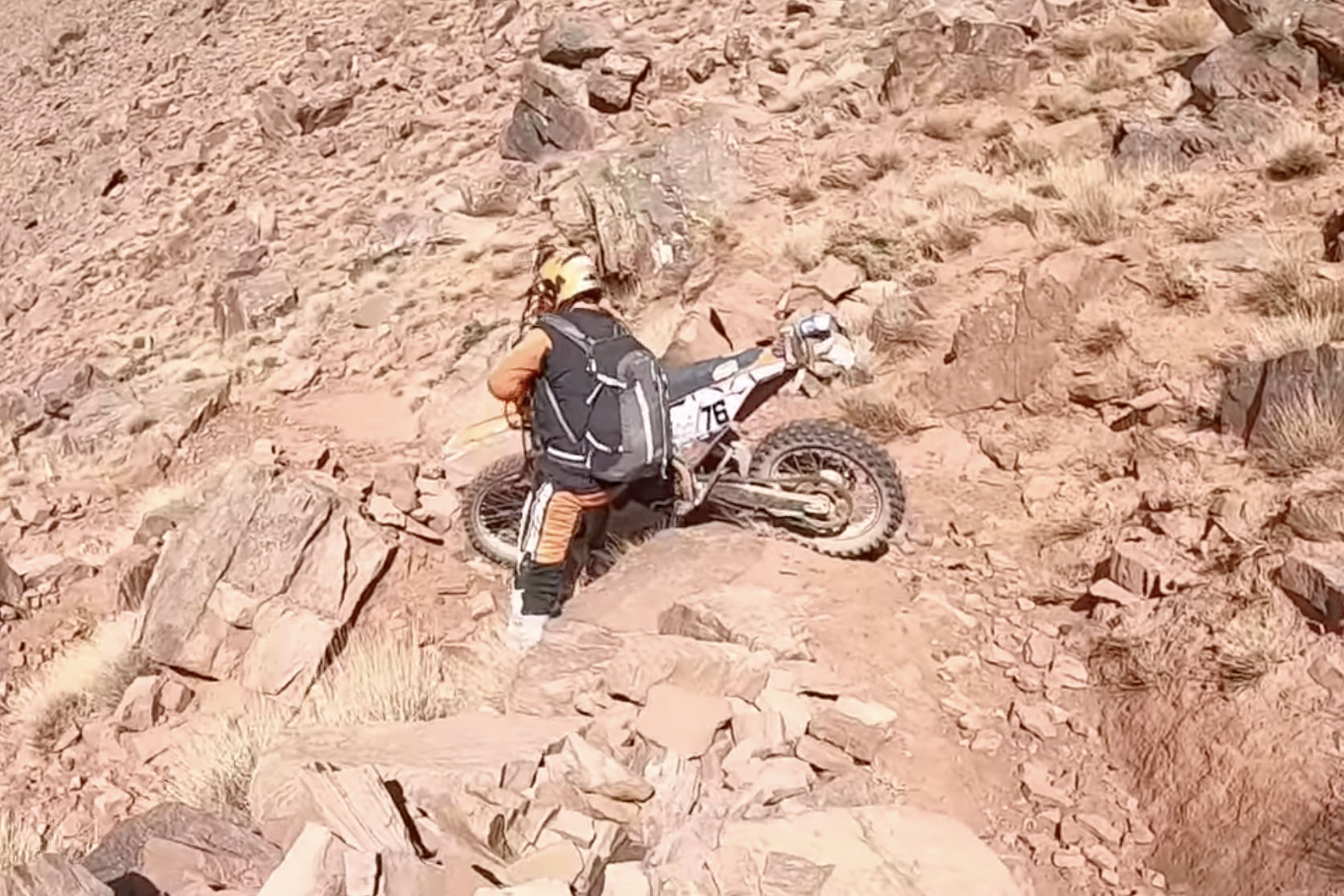
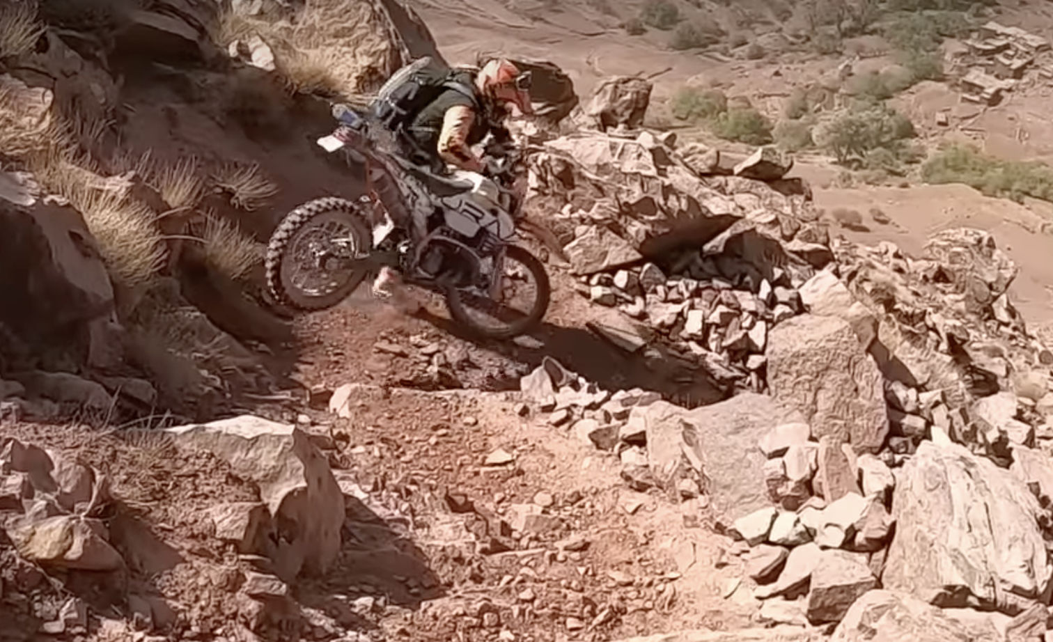
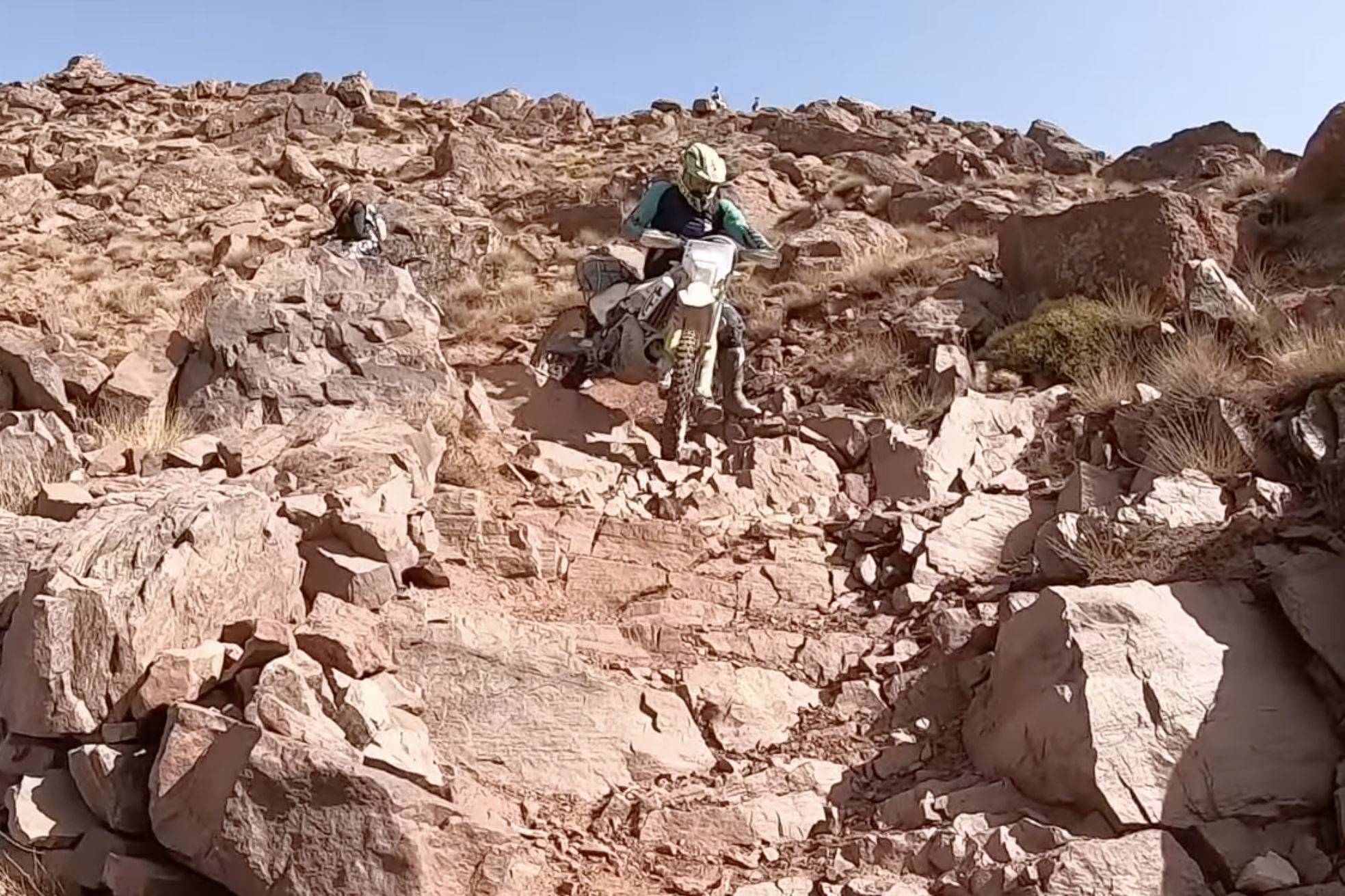
I mentioned this recce to a mate who’ll join me out there next week. He soon found some Spanish KTM-ers – a YT channel called Enduro Aventura – who pulled off the Tizi n’Telouet descent (and a whole lot more) in 2002, filmed it all and capped it off with a tracklog on Wikiloc, classified as ‘Very Difficult’. They call the Tizi Telouet ‘Collado Torretas’ or ‘tower/pylon col’? They confirm ‘the north face has been fixed with a track with a thousand curves and somewhat broken by the rain‘ but continue… ‘thesouth face on the way to Telouet is a narrow and broken trail with a lot of stones… This hill [trail] seems to be disappearing…‘. They speculate that a new road might get put in as the truncated northside track suggests, but I’ve found tracks or roads often come to a dead halt at provincial boundaries, which this watershed is. The col was just an efficient, ‘as-the-crow-flies’ route for the power cables from Nour to Marrakech.
On the track to Tizi n’Telouet. Though we knew we’d never manage the descent with my 300L, let alone James’ 890, we had half a mind to reach the col for a look, so took the track at Ait n Amer off the N9. We did a few clicks but realistically, it was late in the day and we probably wouldn’t have got back to the N9 before dark.
Their 80-minute vid below is timed to start at the Collado Torretas stage (covering just a few minutes). It’s soon turns gnarly af (stills above). But scan any other random minute in the vid and you’ll see just what light and lightly-loaded KTMs (including 2T) can achieve off-road in the hands of a fit and determined crew. You’ll be staggered to see what these guys blithely attempt. Chapeau to Enduro Aventura I say! The Men who Ride like Goats. Me, I think I’ll take the long way round.
As we all know, there are a lot of moto vlogging know-alls out there whose sketchy credentials don’t necessarily affect their channel’s popularity. But in a well produced 9-minute vid on sand riding, this guy below gets it and keeps to the point. He won me over when he advised: ‘if you see a patch of sand on the road, avoid it if you can’; ‘hop off and push when you must’ and ‘you can get away with less airing down on knobbly tyres’ [because traction is innately better]. That said, I don’t know what GS12 tyres runs normally, but I was surprised he recommended two bar (29psi) on the sands. Even just 5psi less would make a big difference, but perhaps that bike’s huge weight has something to do with it. I bet there’s at least another 9 minutes of bogged-down outtakes ;-)
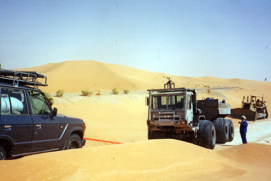
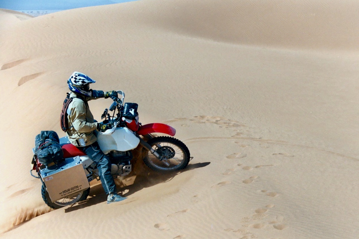
The film’s setting in a low-risk play area of small dunes drops the ante somewhat, but that’s probably where most curious big-bike riders would start – and very soon get it out of their system. Engaged in a long-distance travel adventure, like our 2003 Desert Riders trip across Algeria and into the Tenere Desert (below), I would add.
Avoid big dunes, where possible – it’s not a game
Keep out of sandy car ruts, where possible [rarely so, that’s why they form]
If you can’t, air down to 1.5 bar and deploy all the tips the video mentions
Metal side cases? What were we thinking?! Go soft off road
Overlanding in the desert, once you add the need to keep tabs on navigation, water, fuel and energy levels, your fellow riders, and even visa durations, it all becomes quite a challenge. Which is why, without support, you don’t want to add avoidable technical difficulties when it comes to terrain. Bike or 4×4, in my experience dunes are where all the accidents happen. That’s how Desert Riders ended for me ;-)