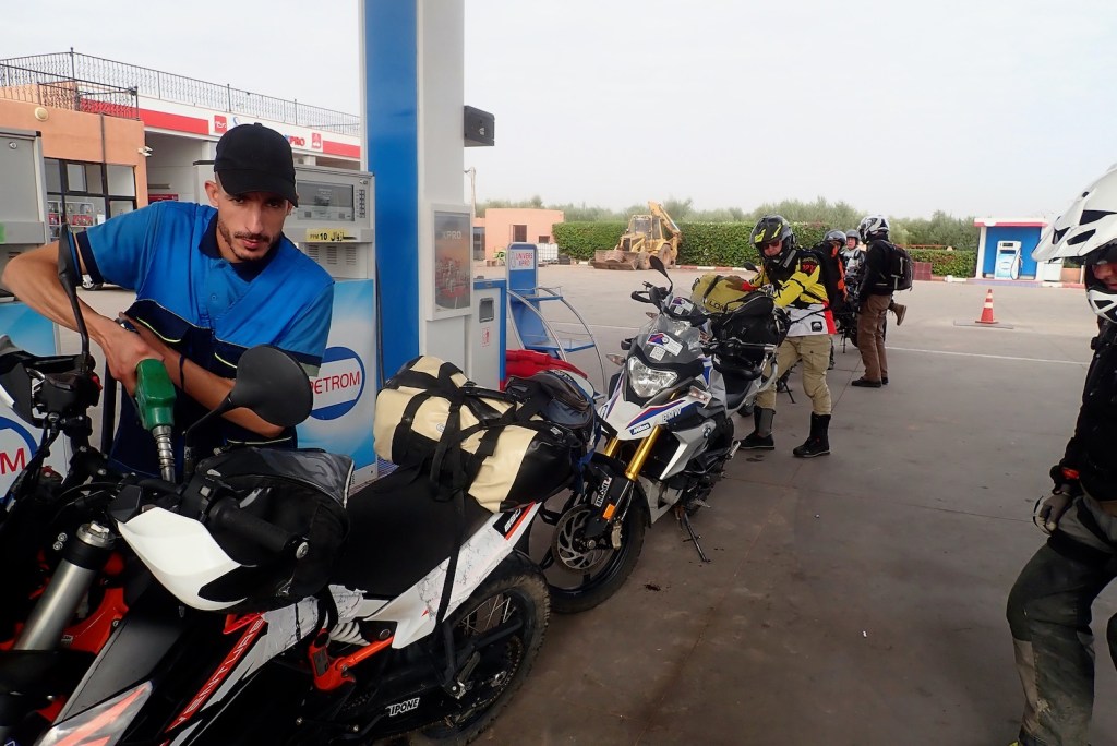
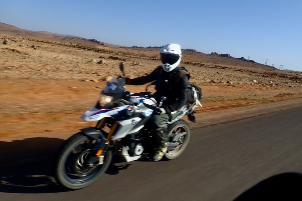
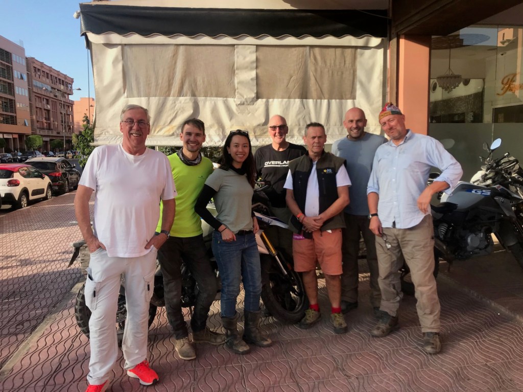
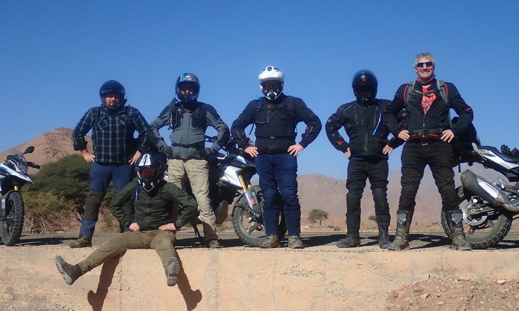
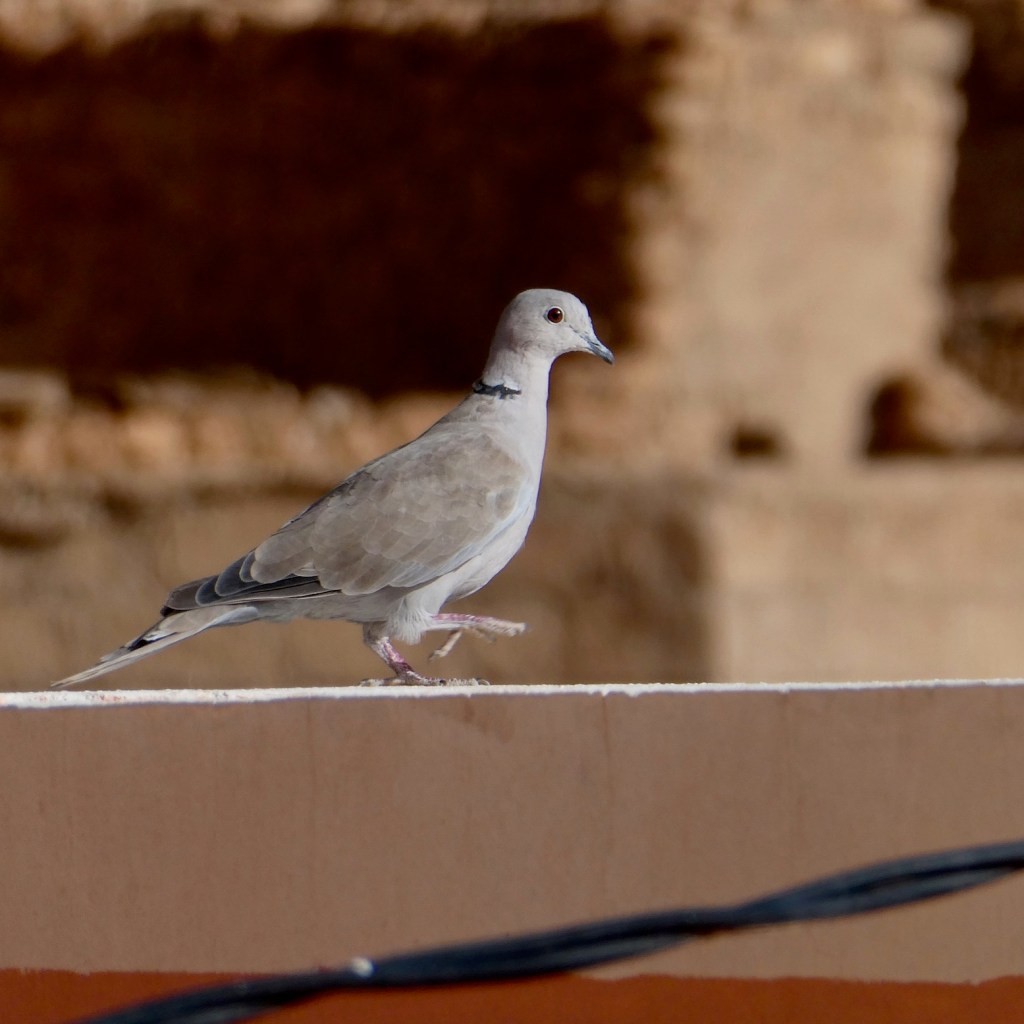
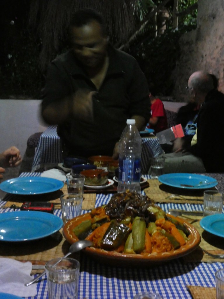
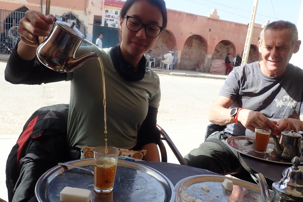
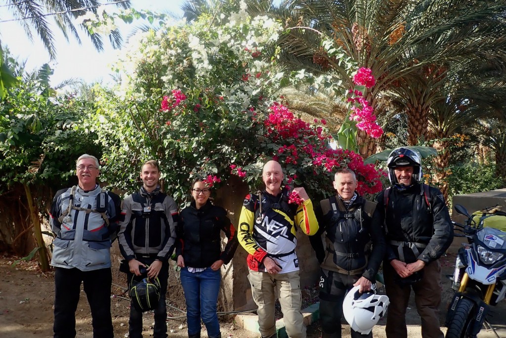
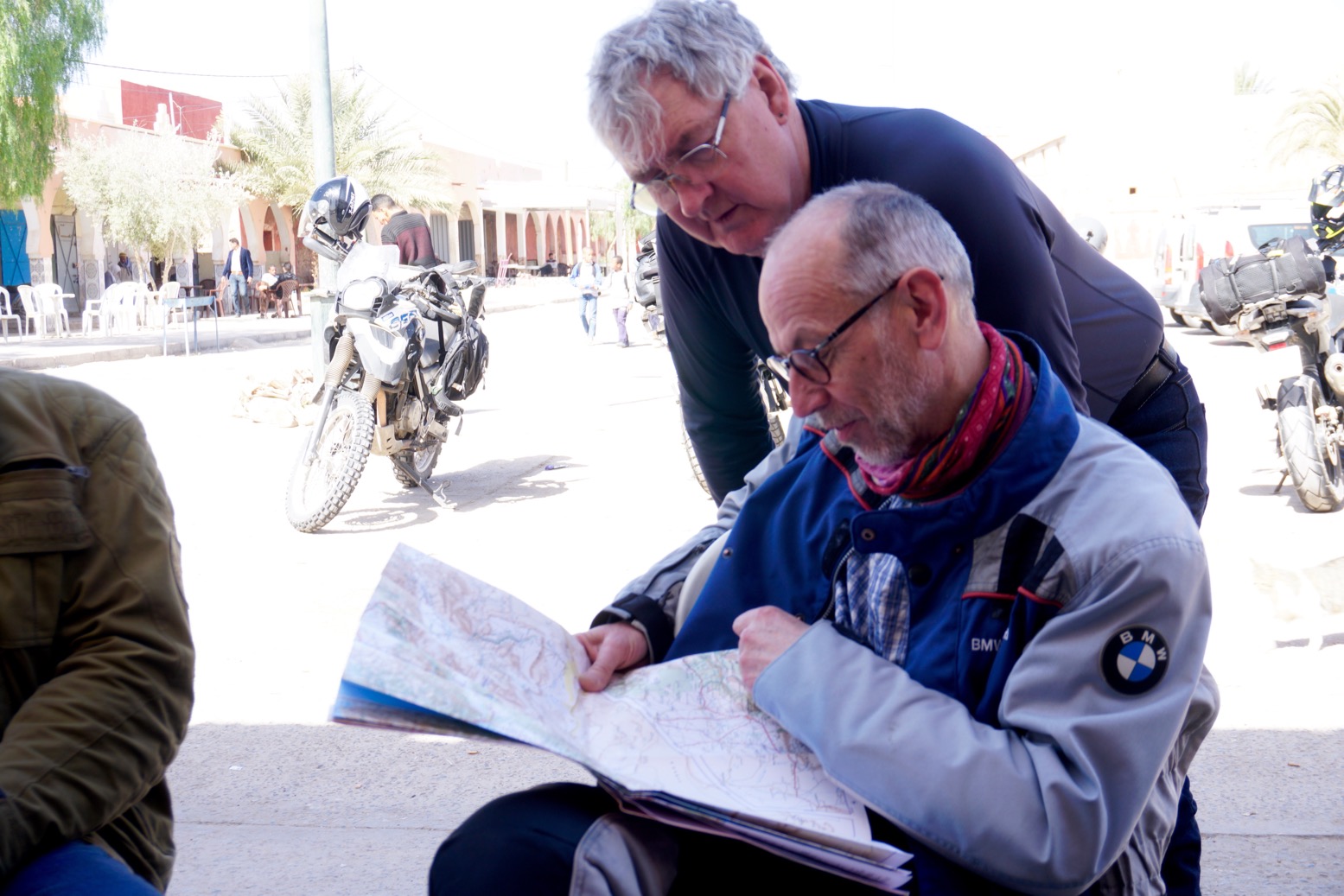
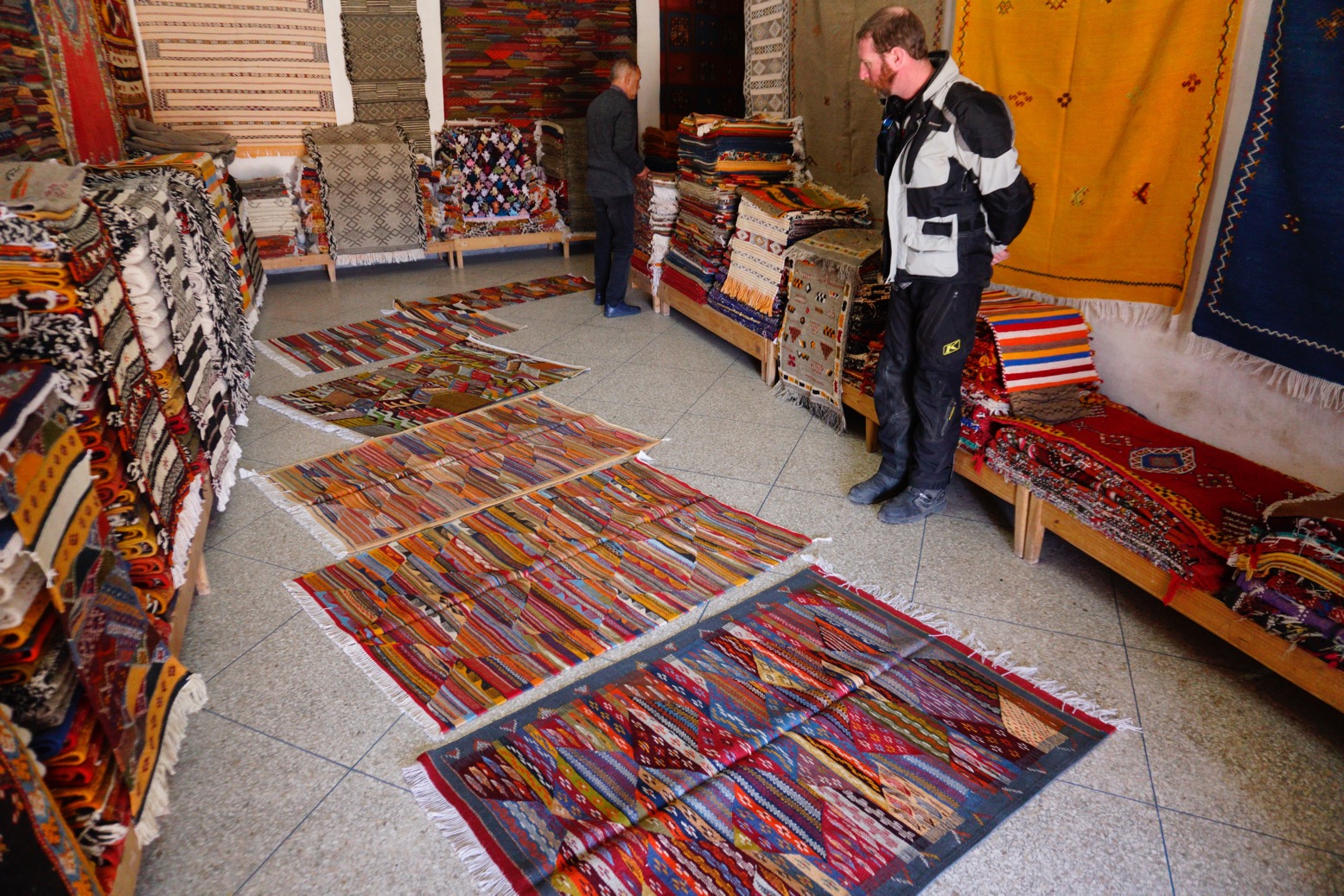
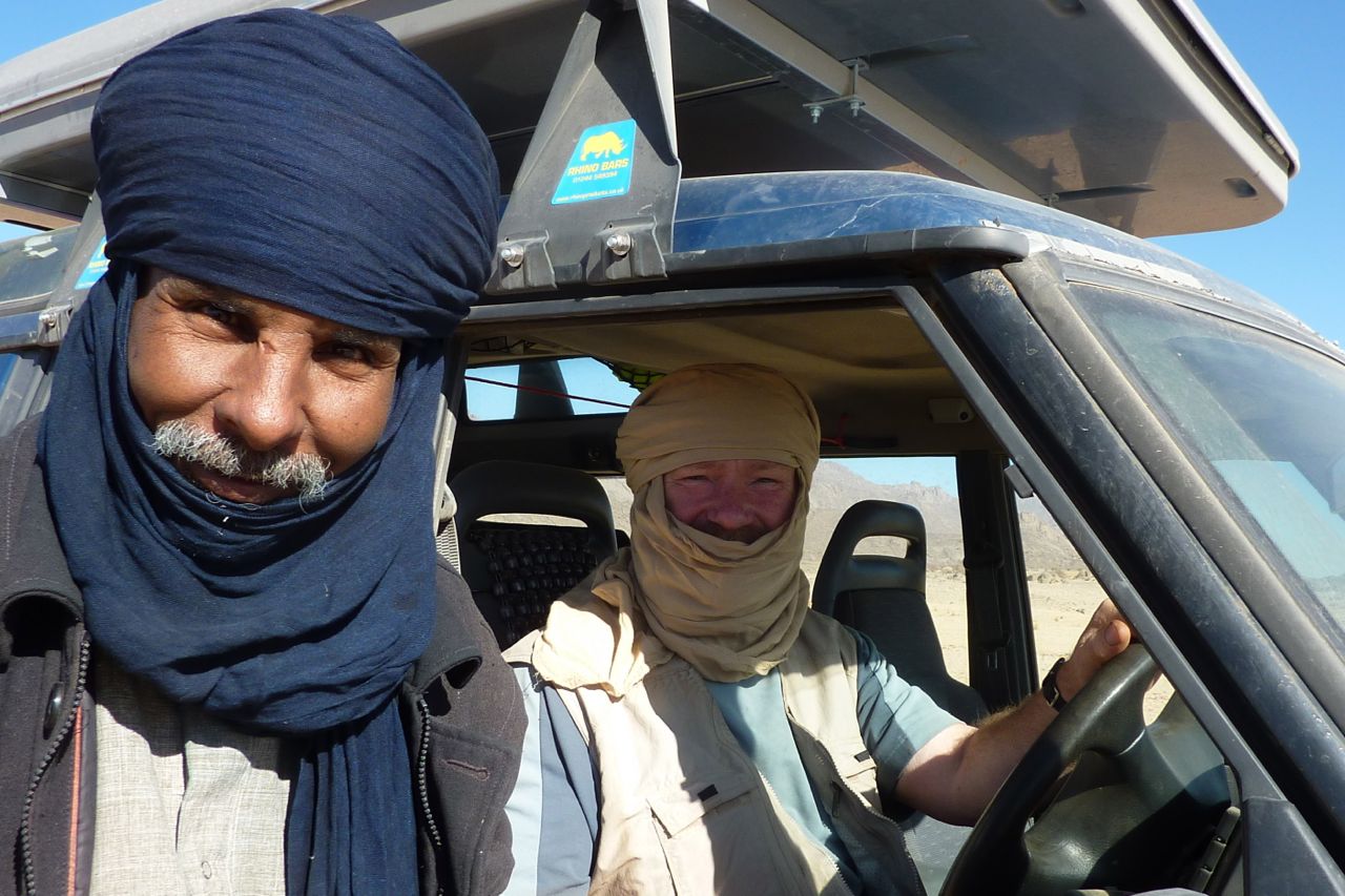
By Mike D and Group T1, early November 2023.
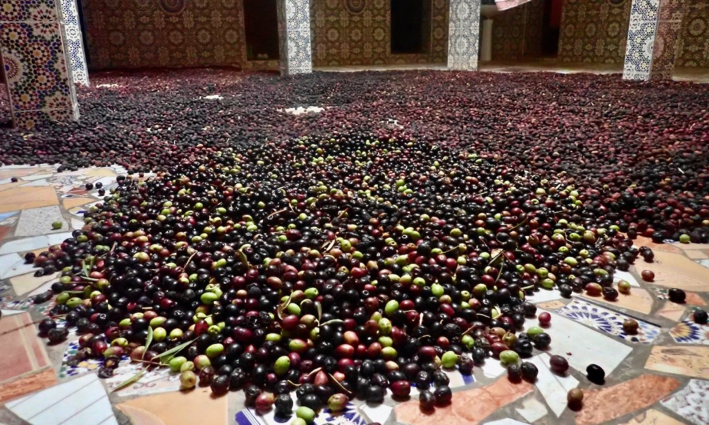
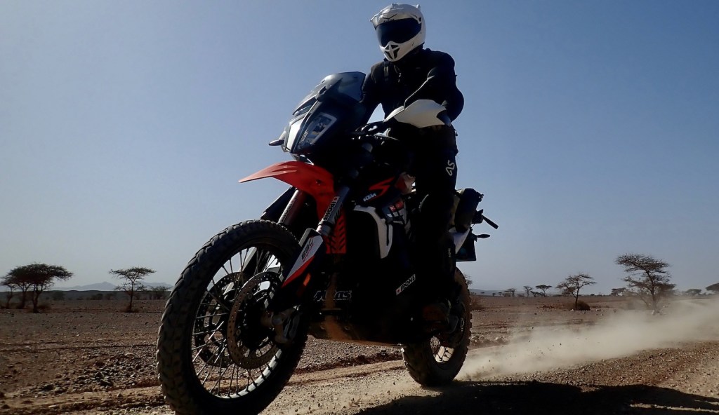
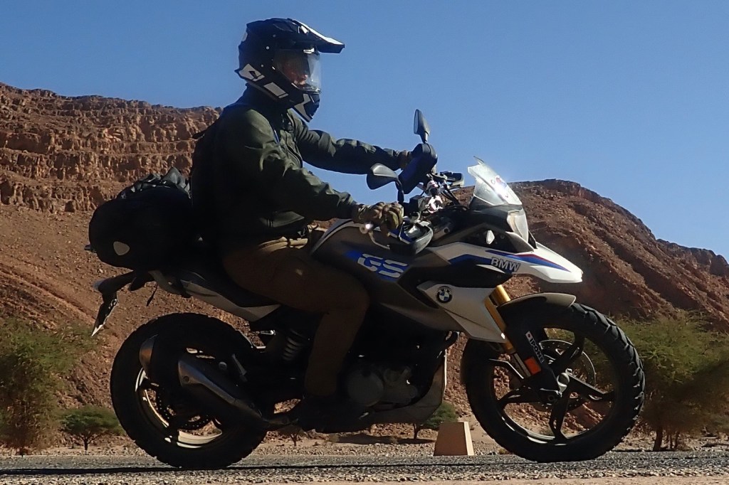
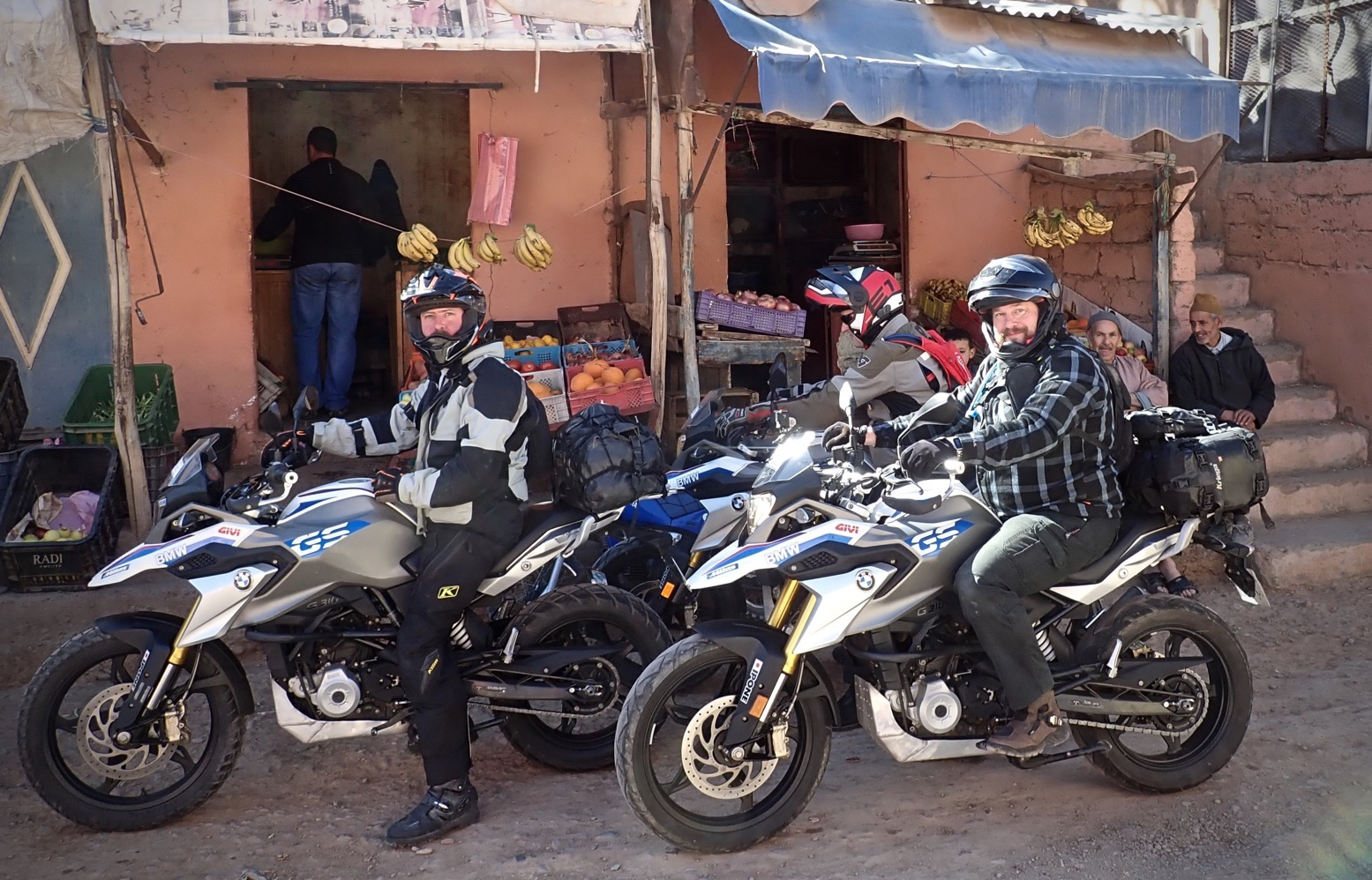
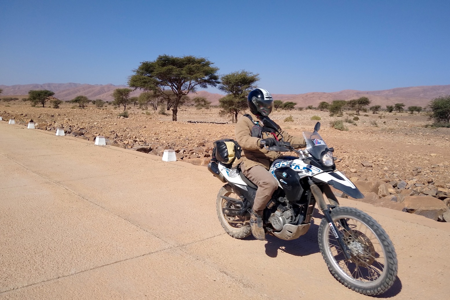
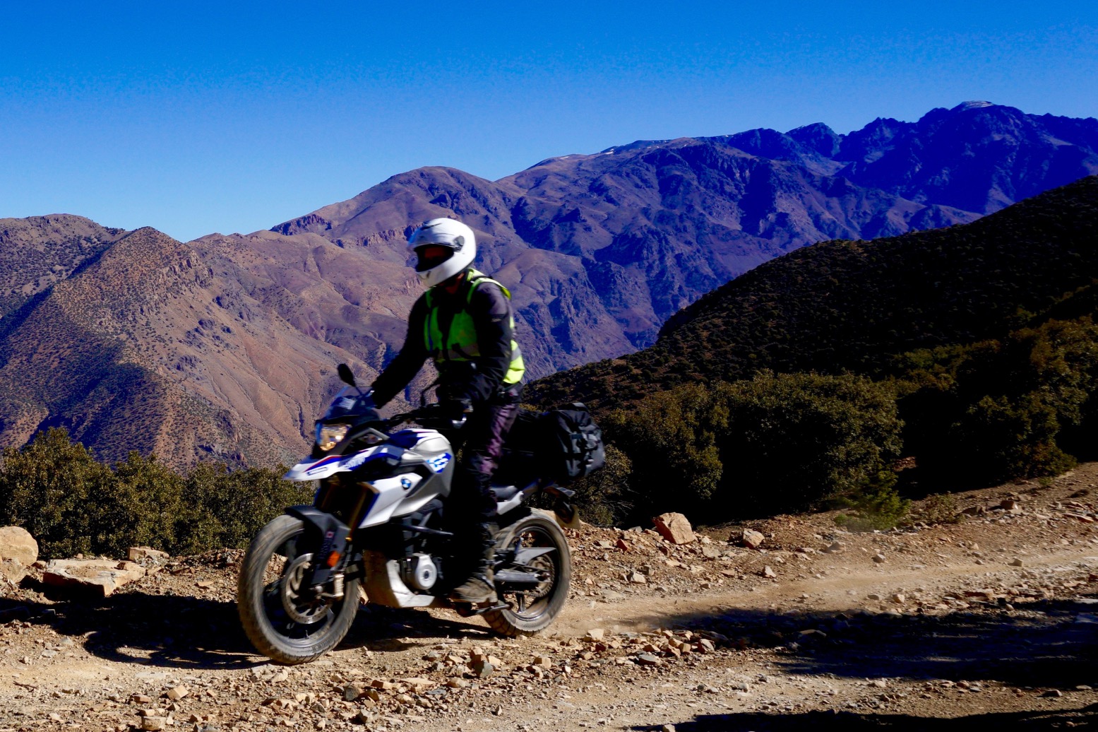
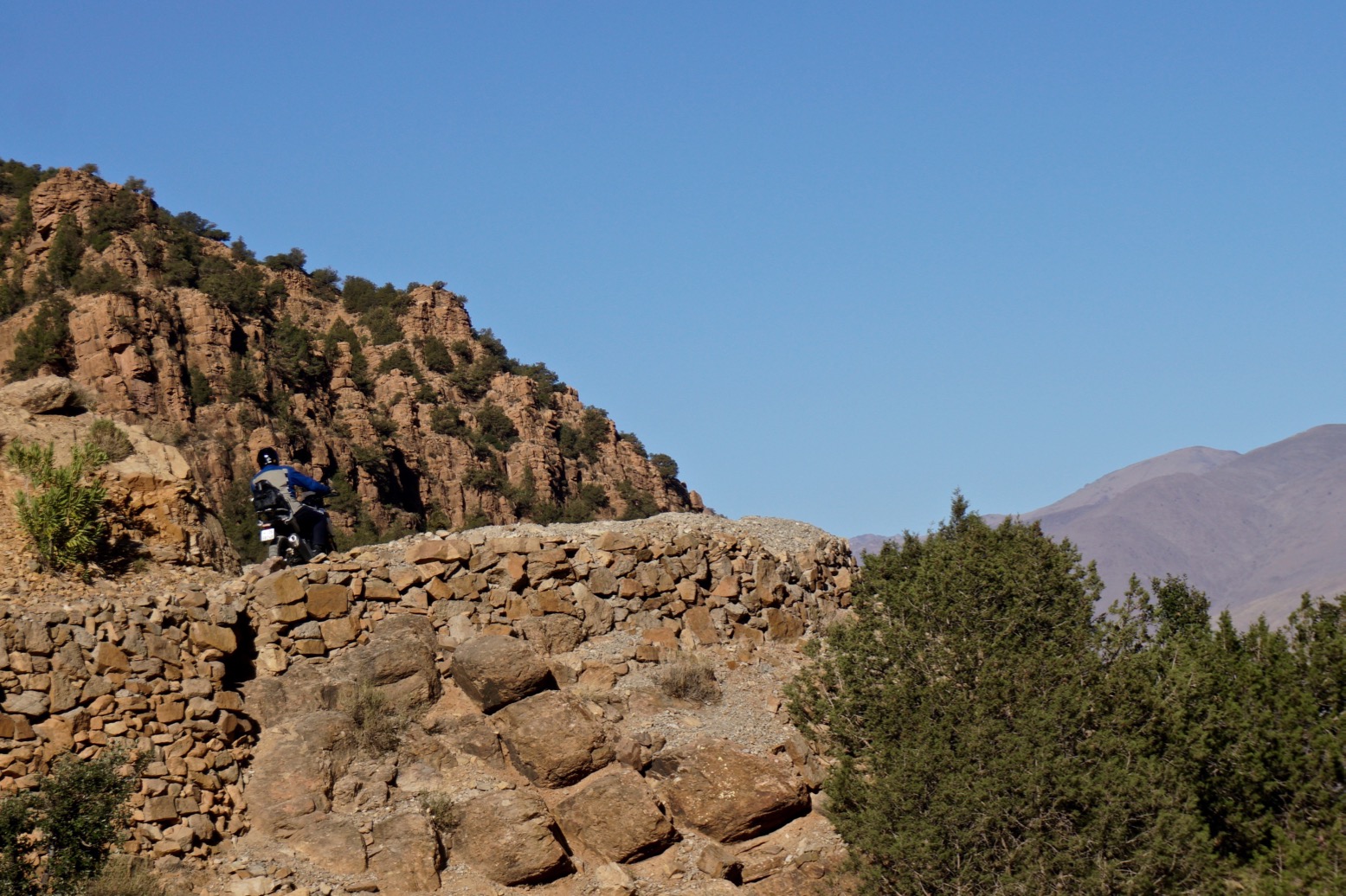
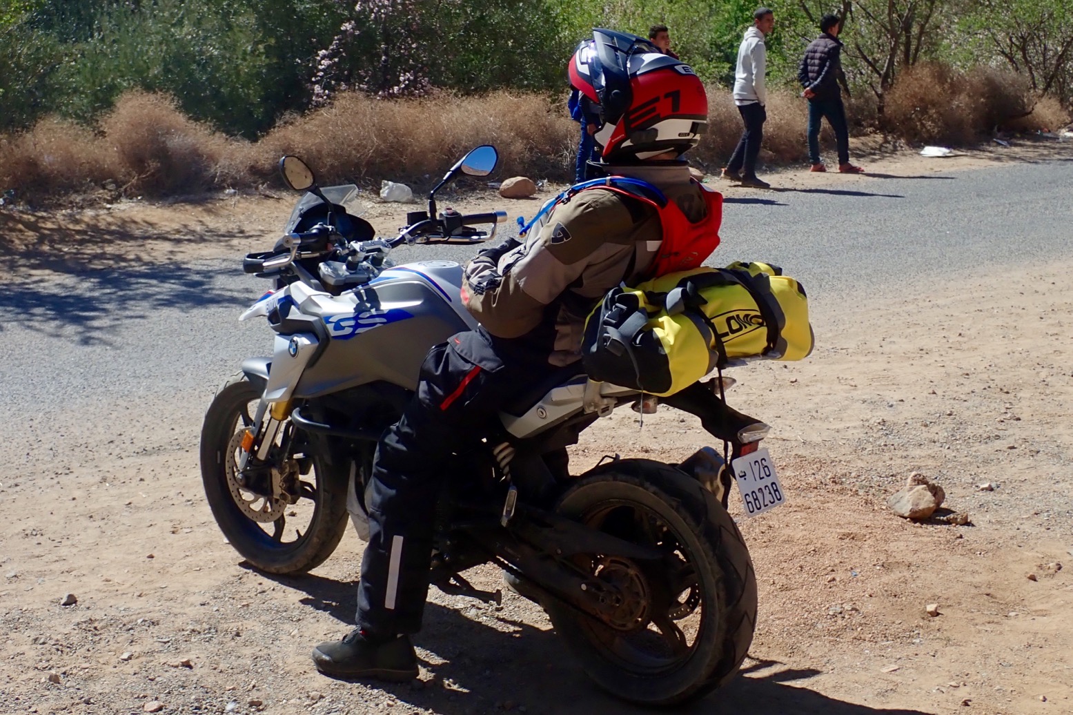
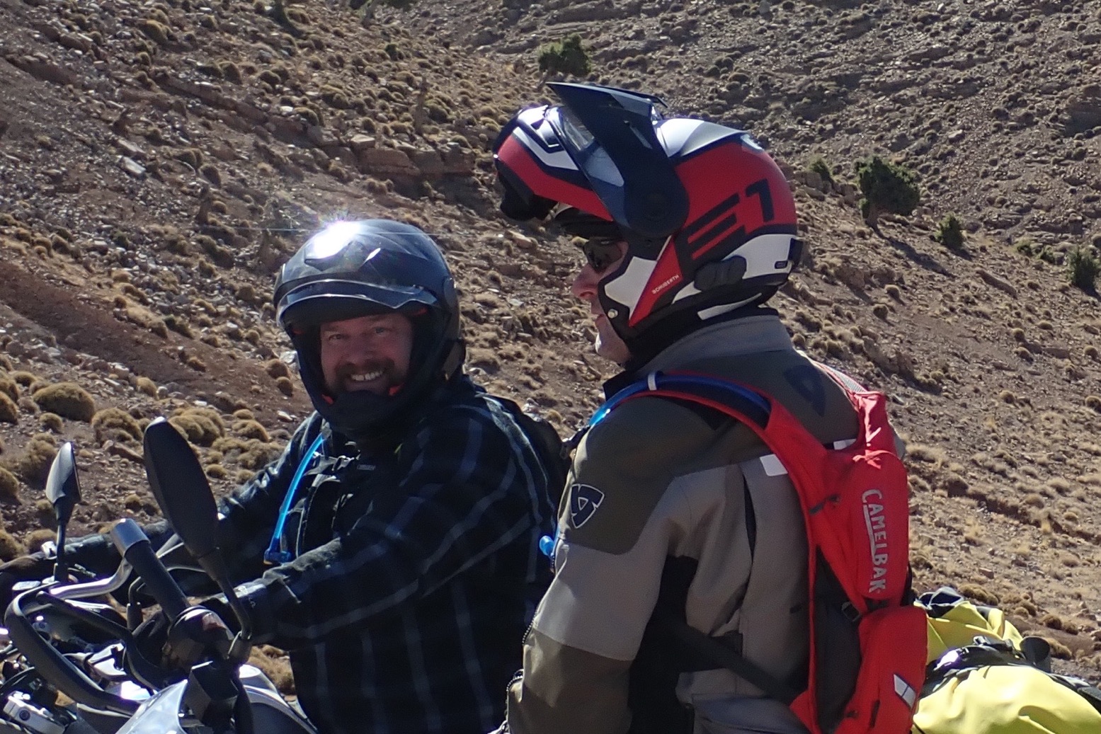
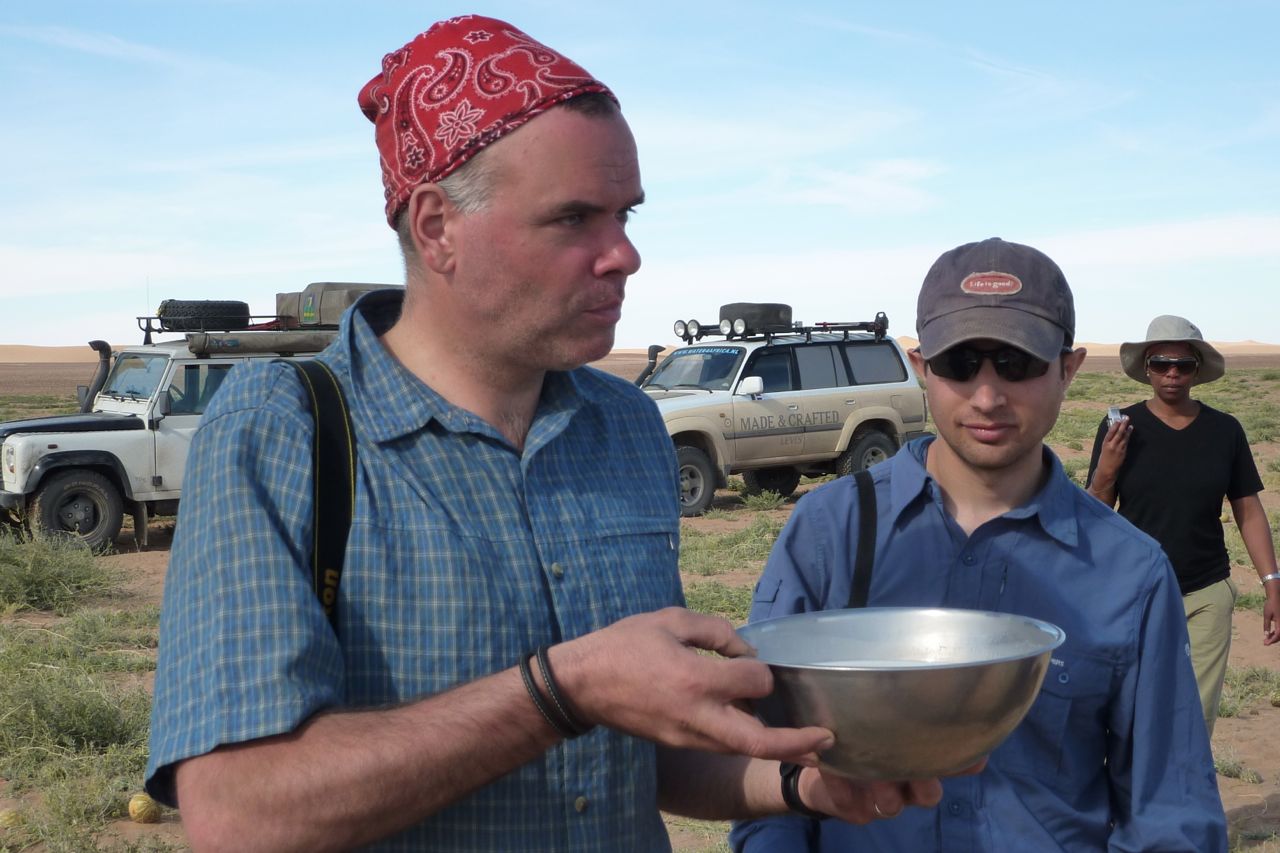
A great souvenir of our one-week ride on G310GSs.
Category Archives: Tours
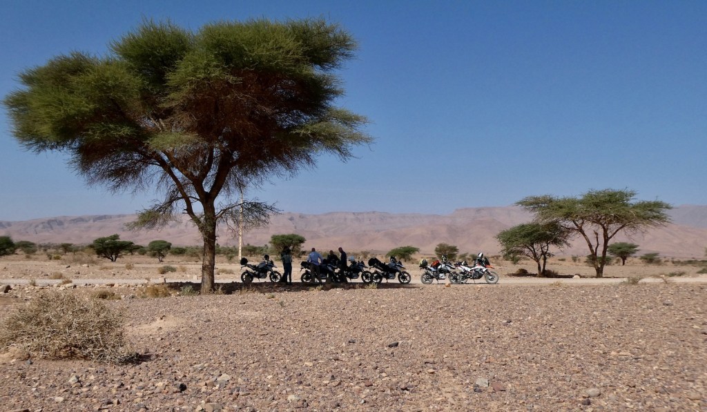
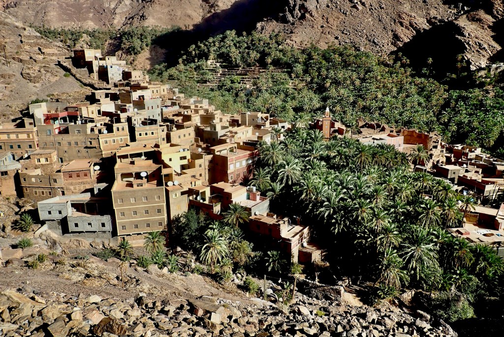
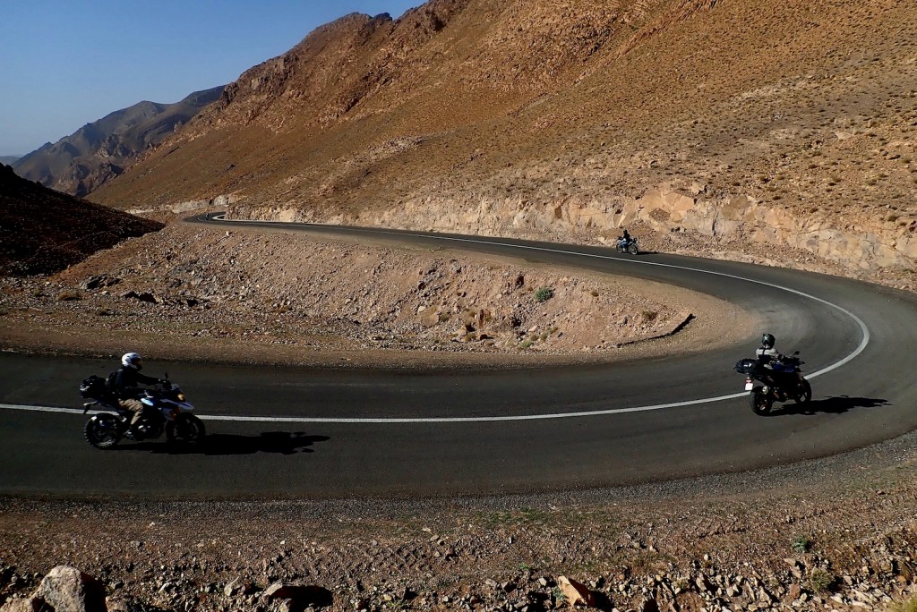
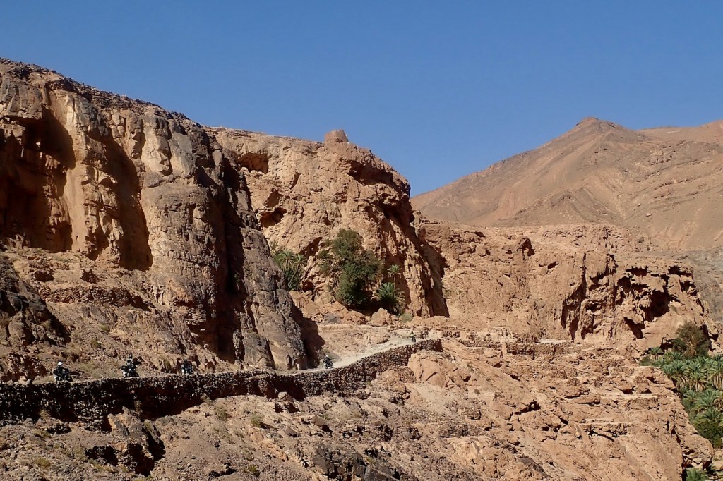
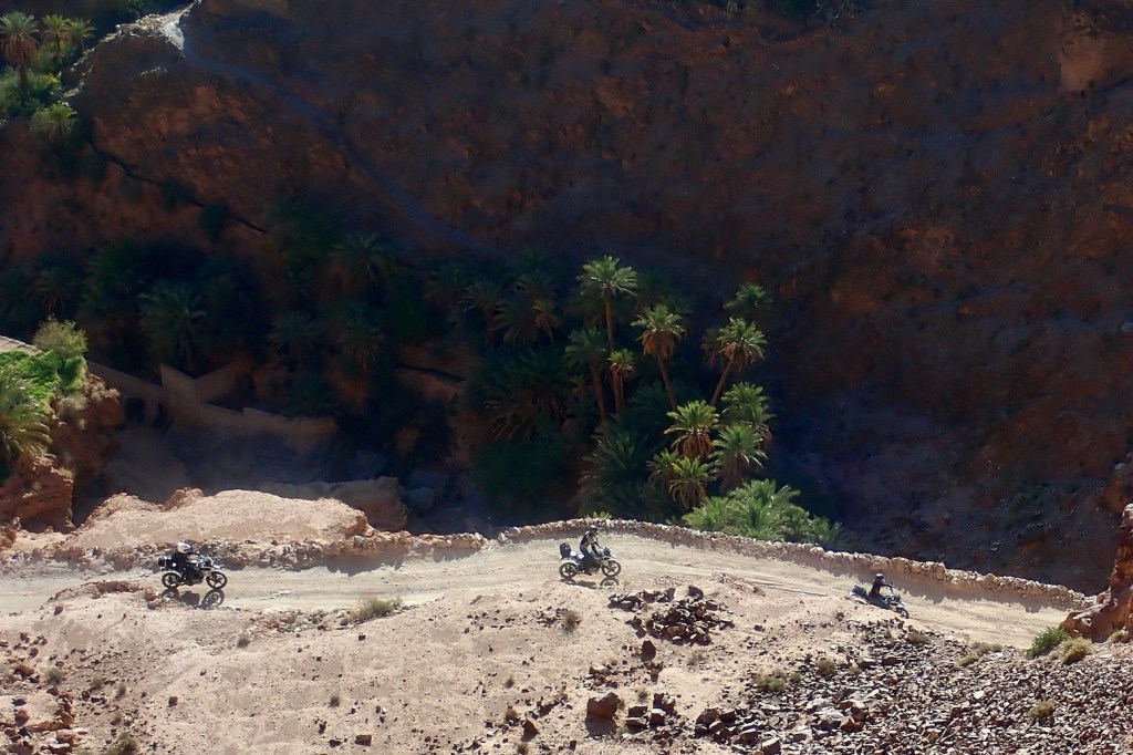
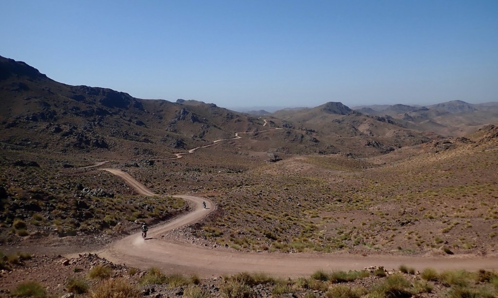
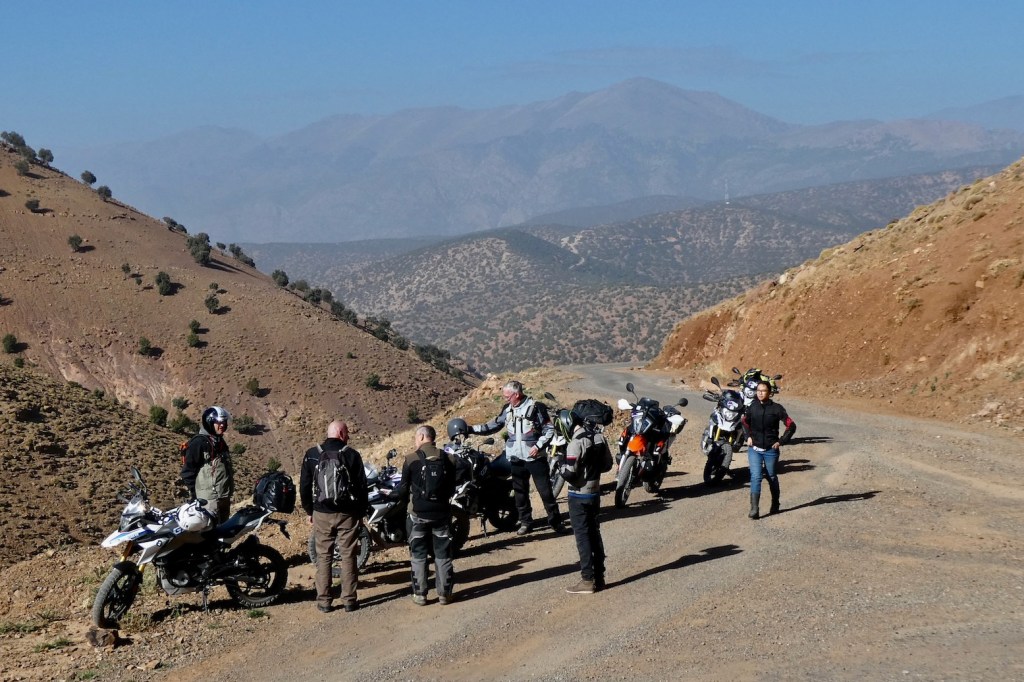
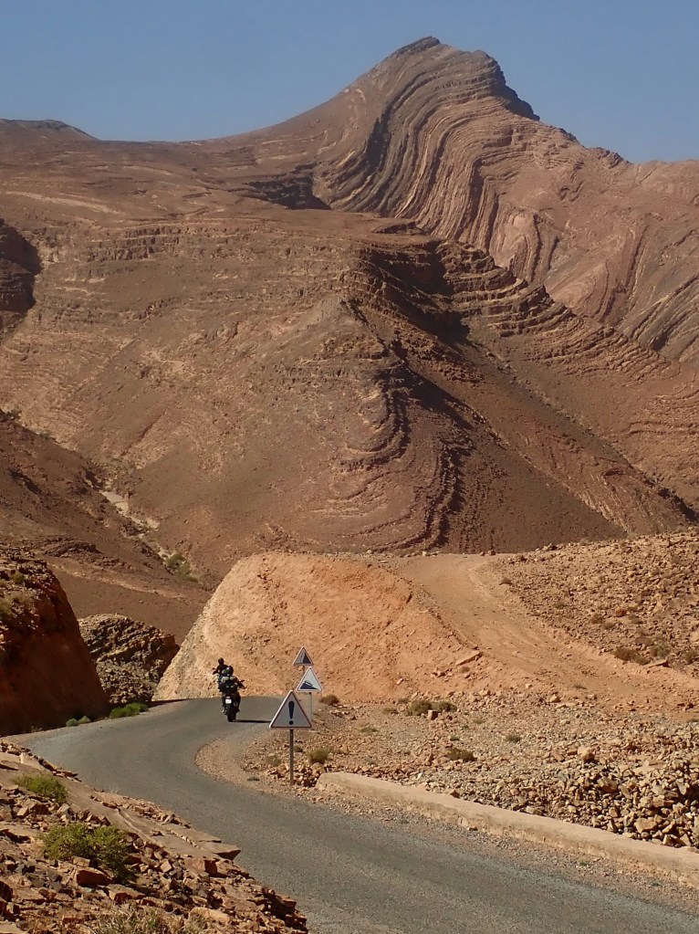
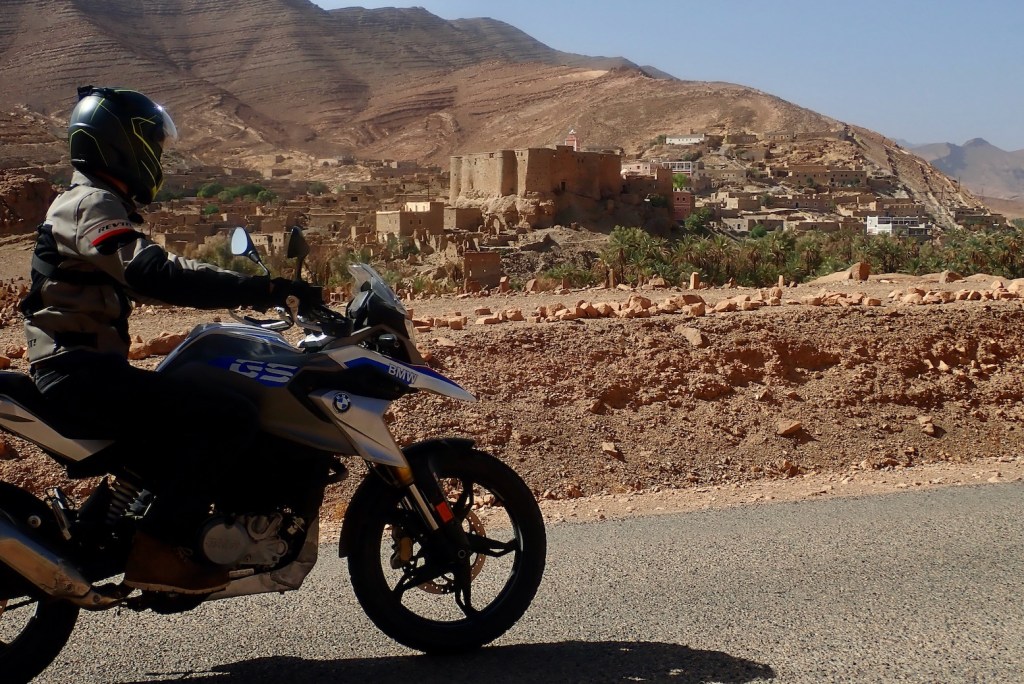
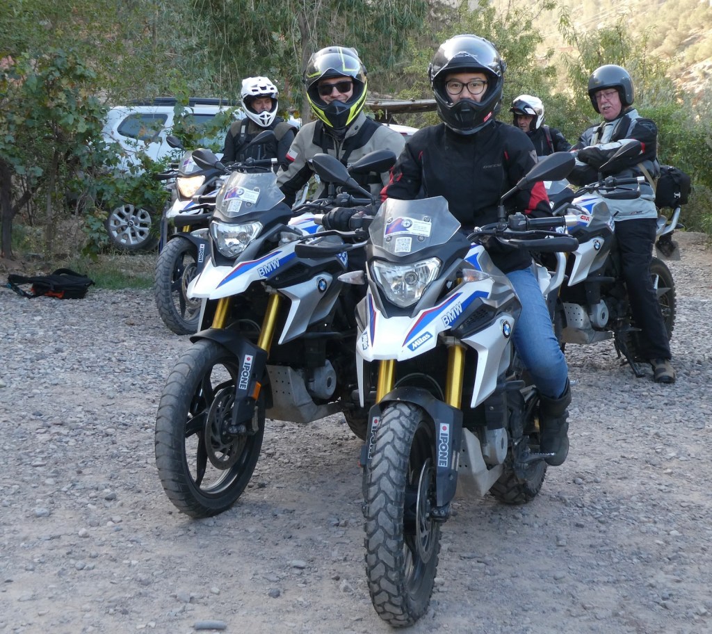
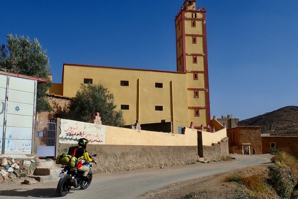
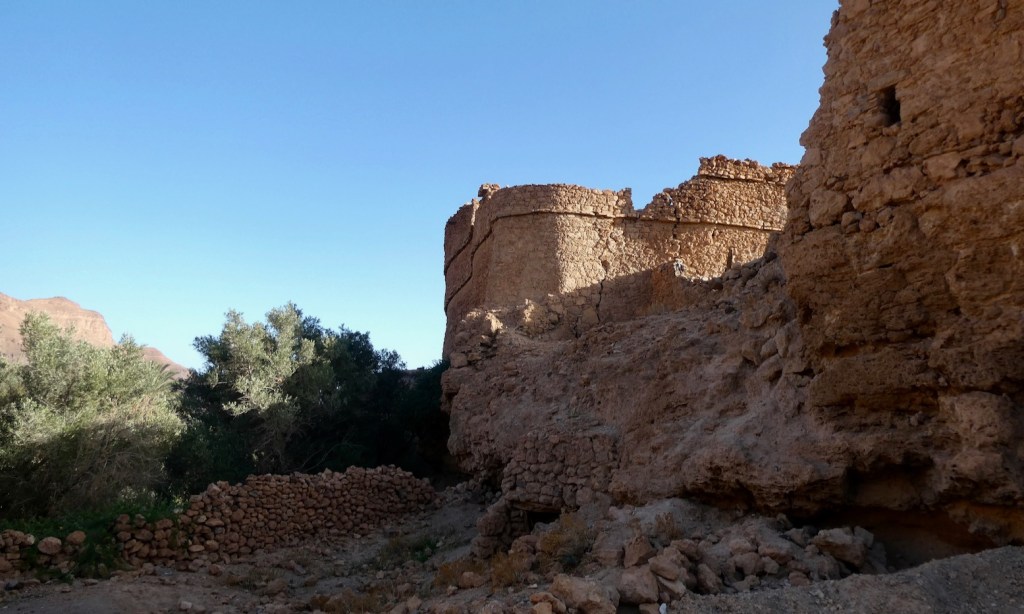
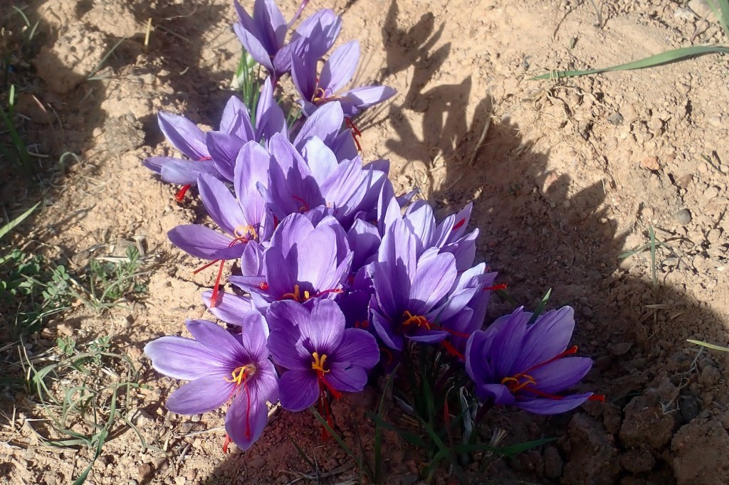
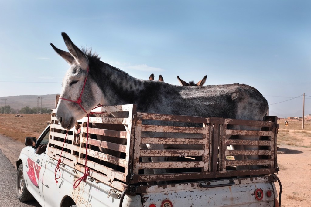
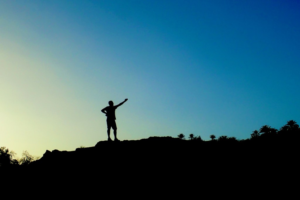
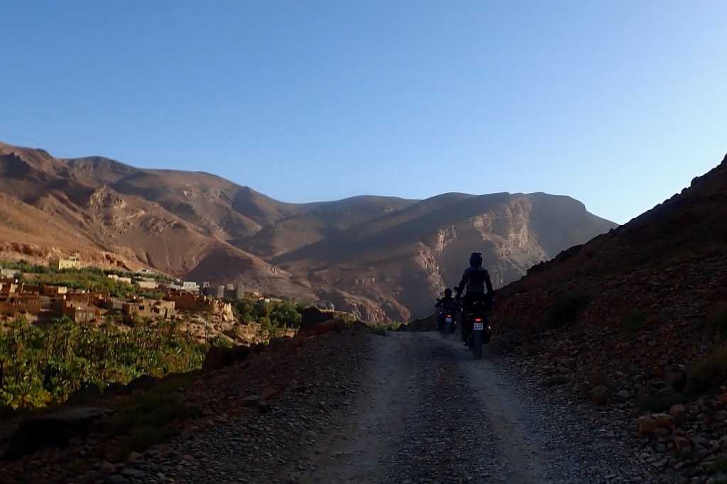
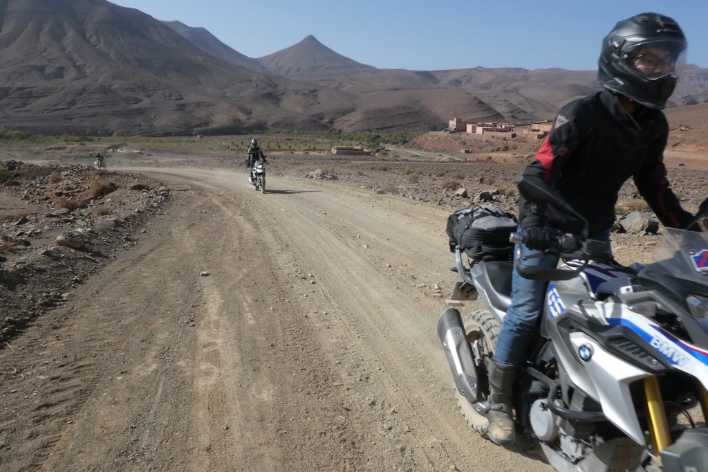
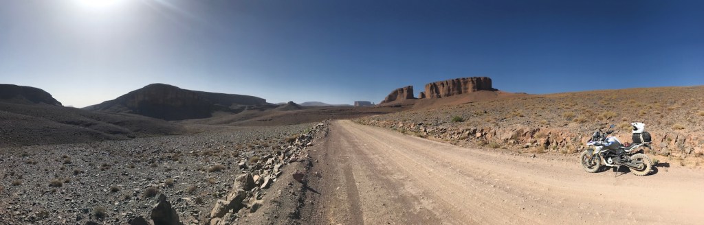
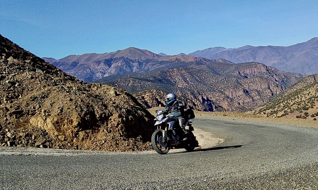
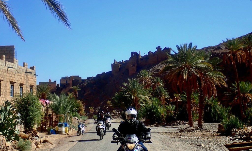
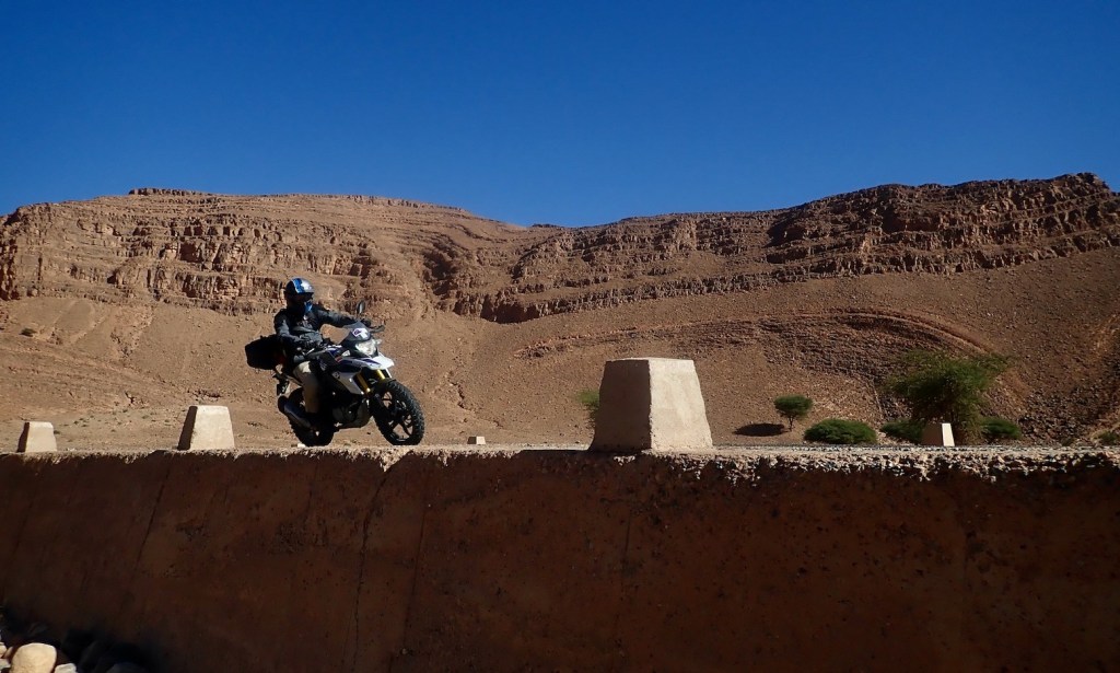
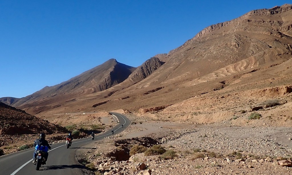
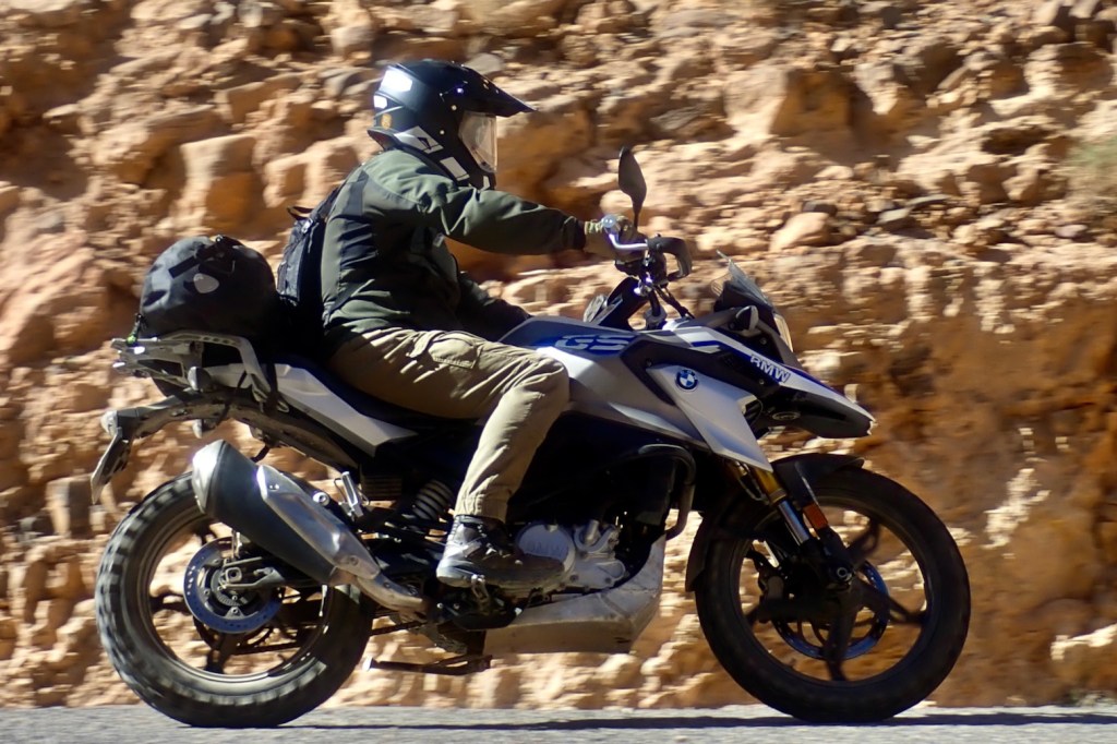
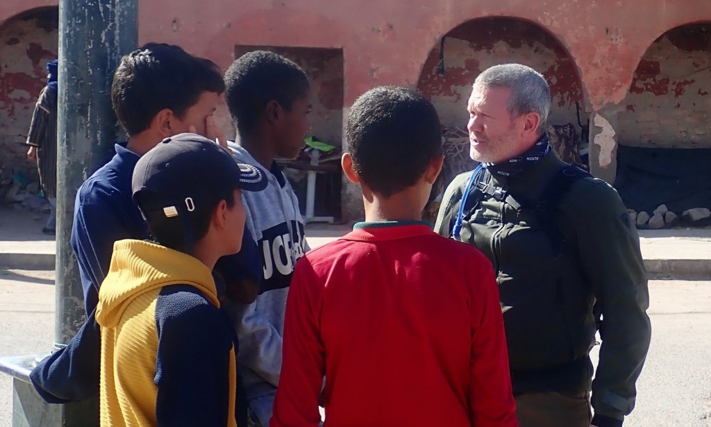
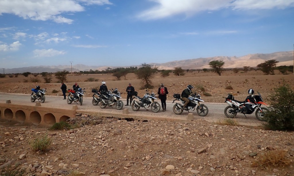
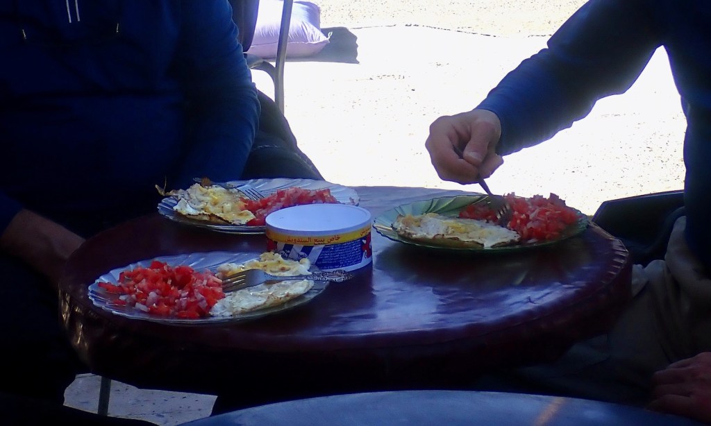
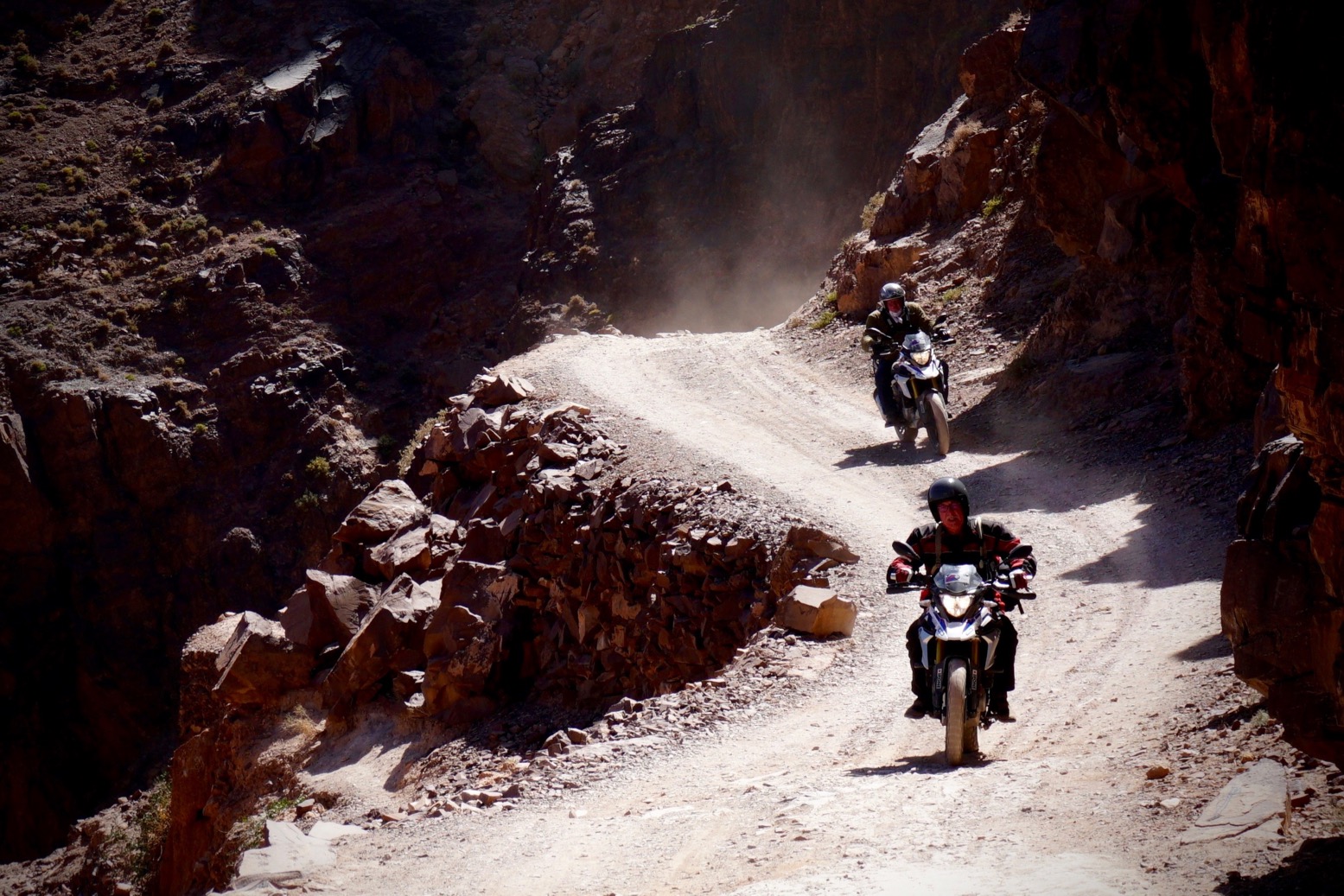
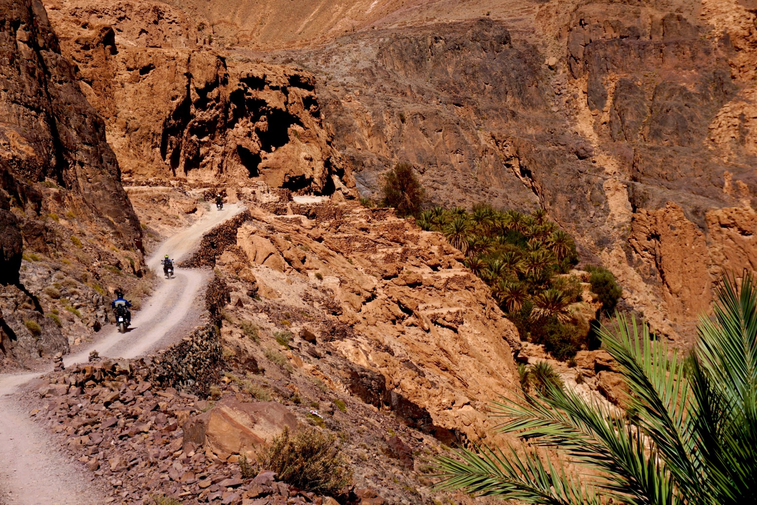
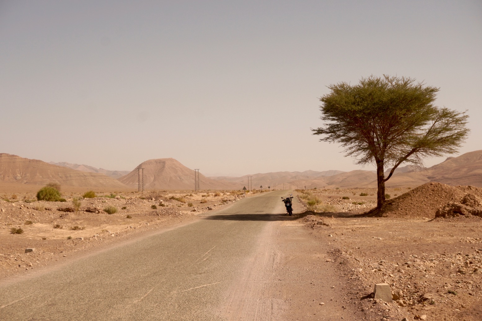
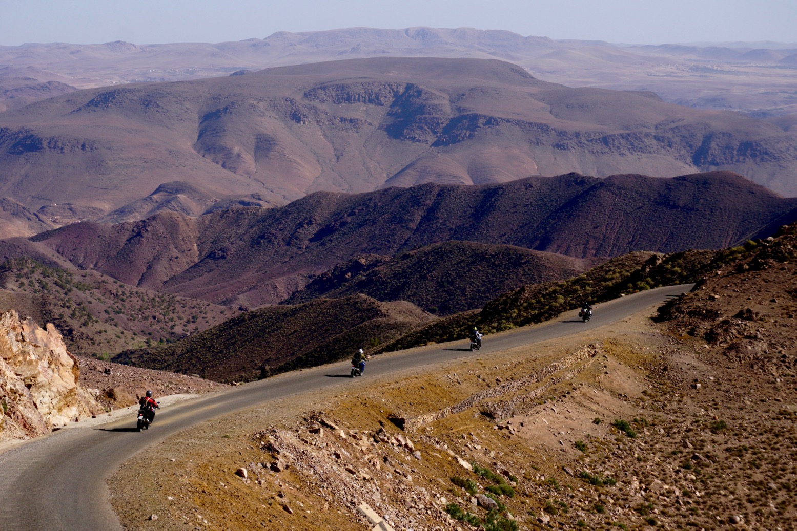
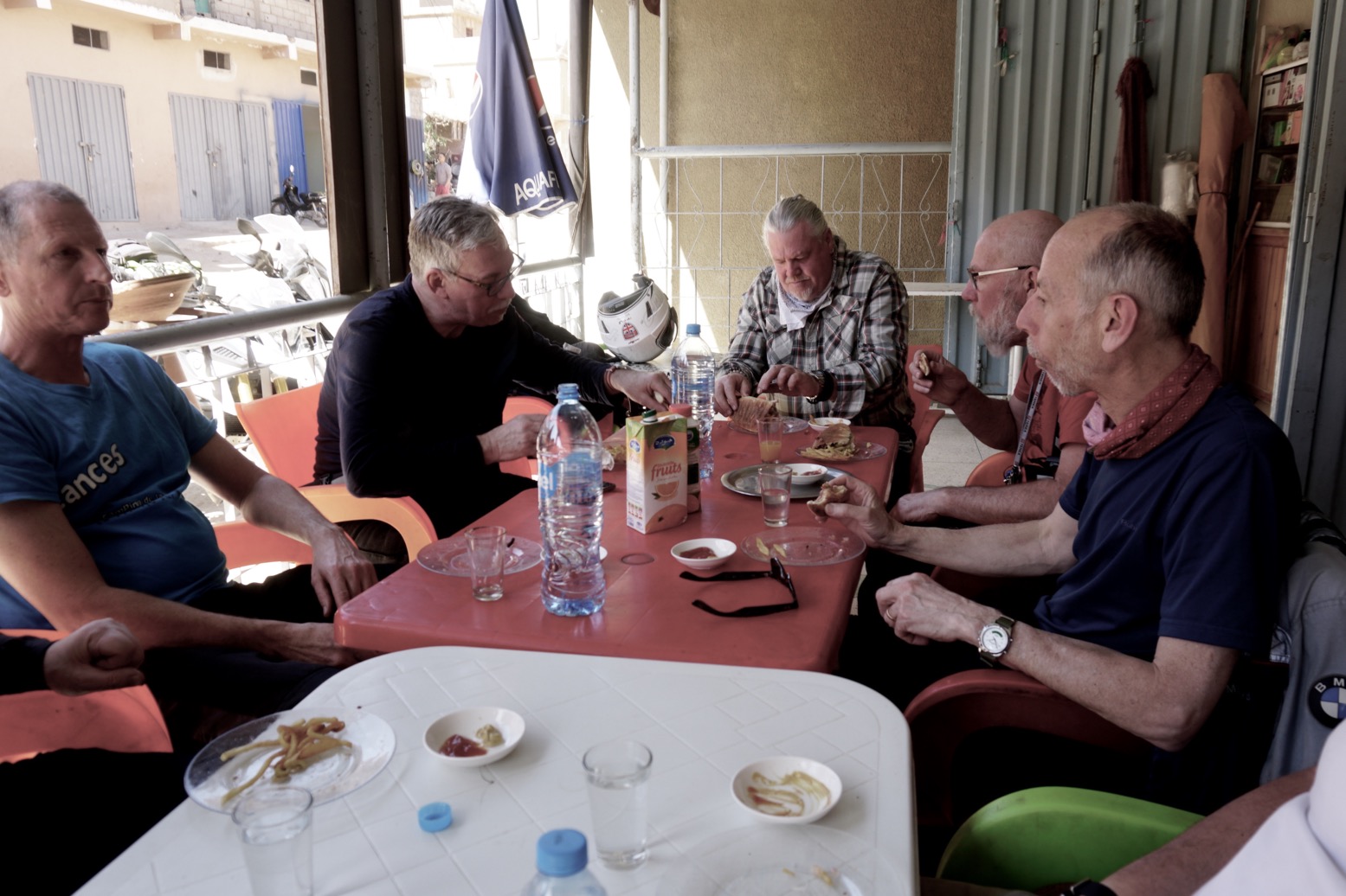
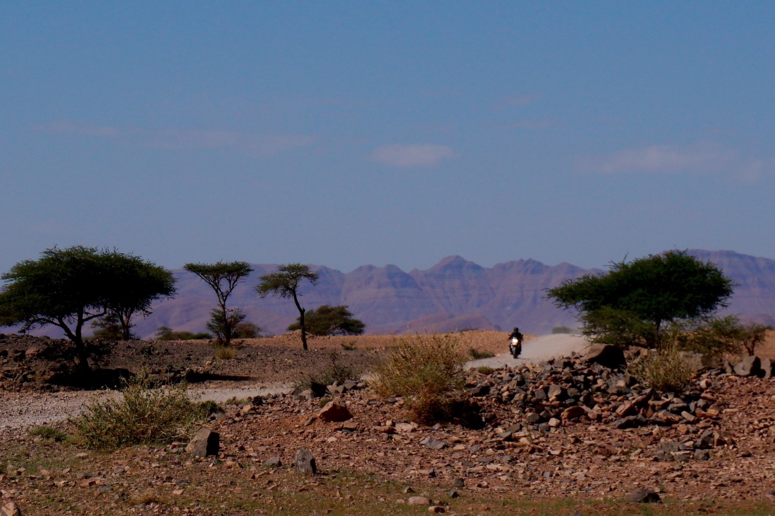
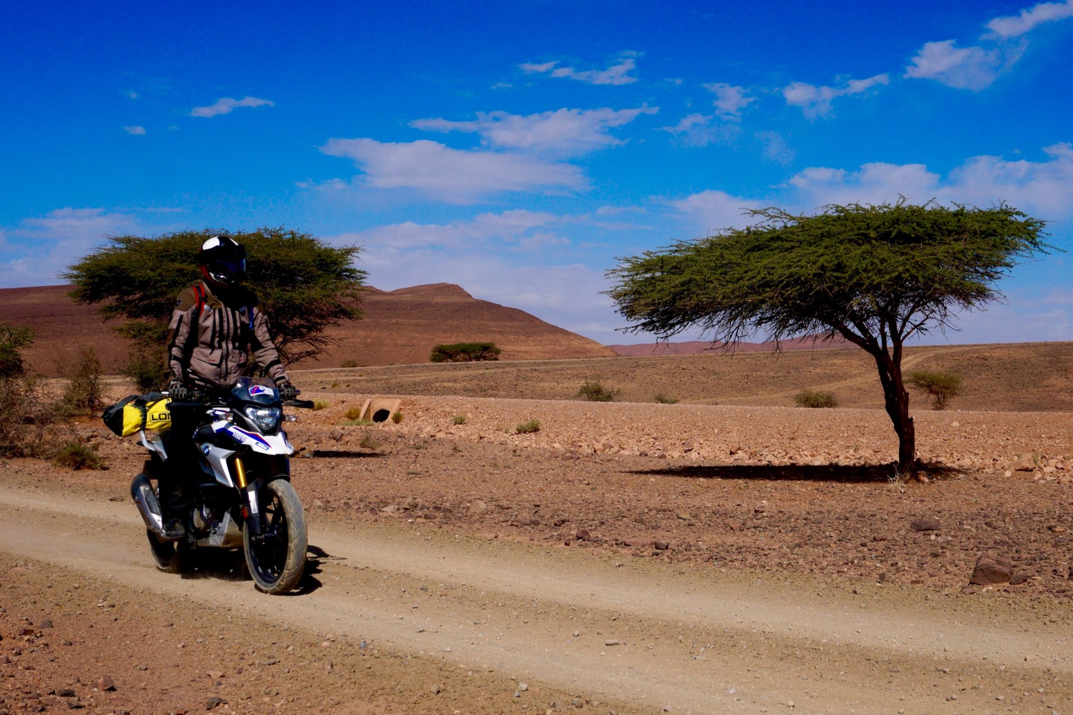
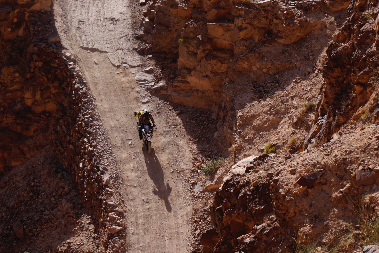
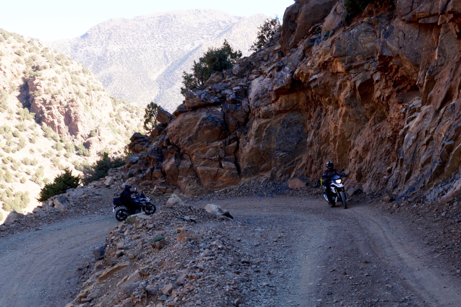
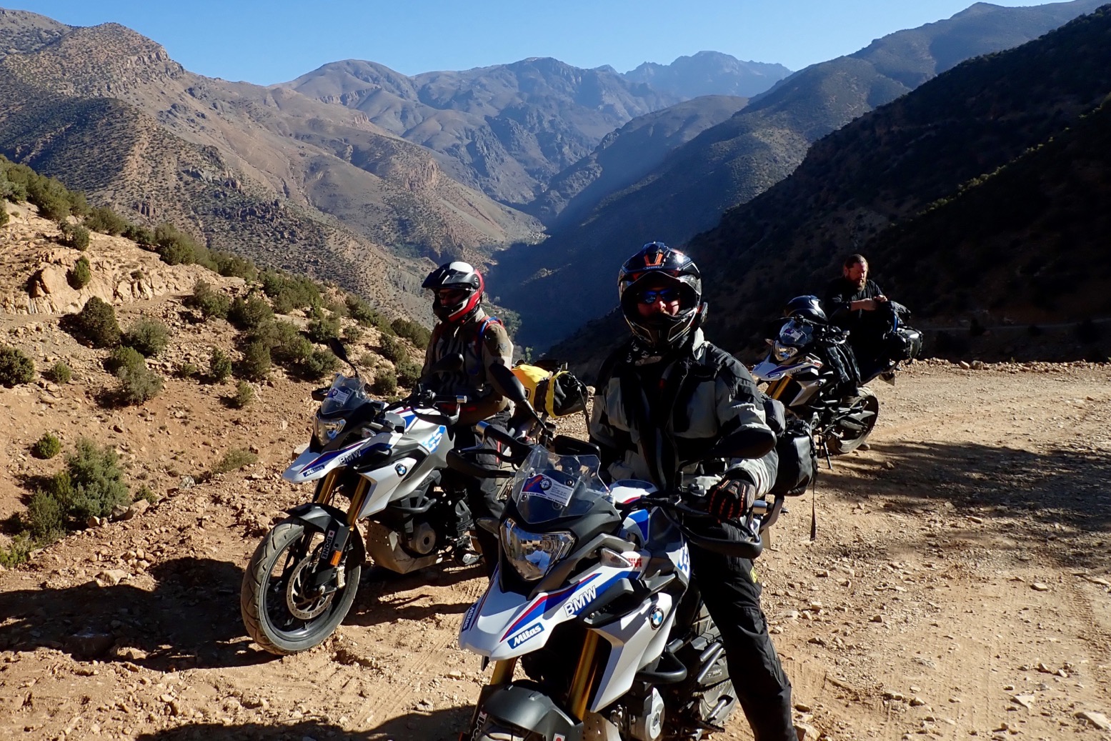
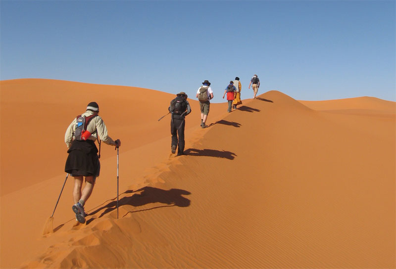
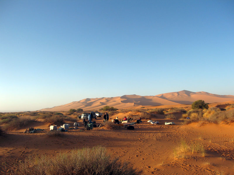
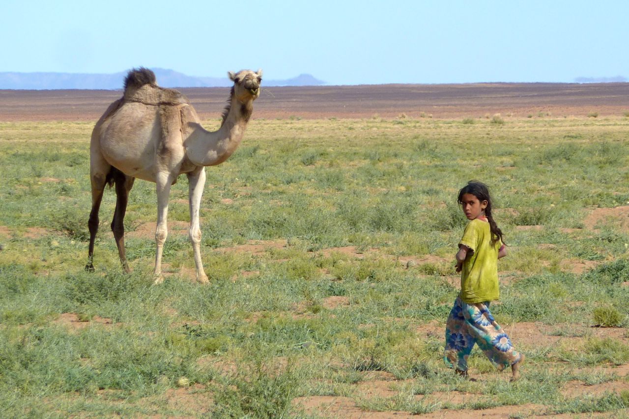
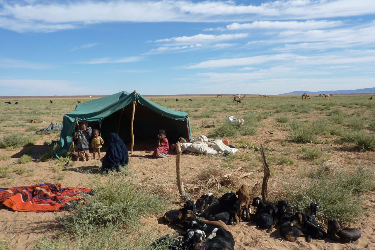
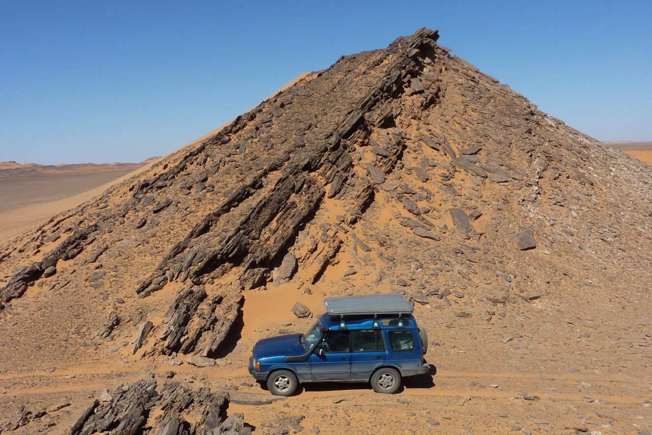
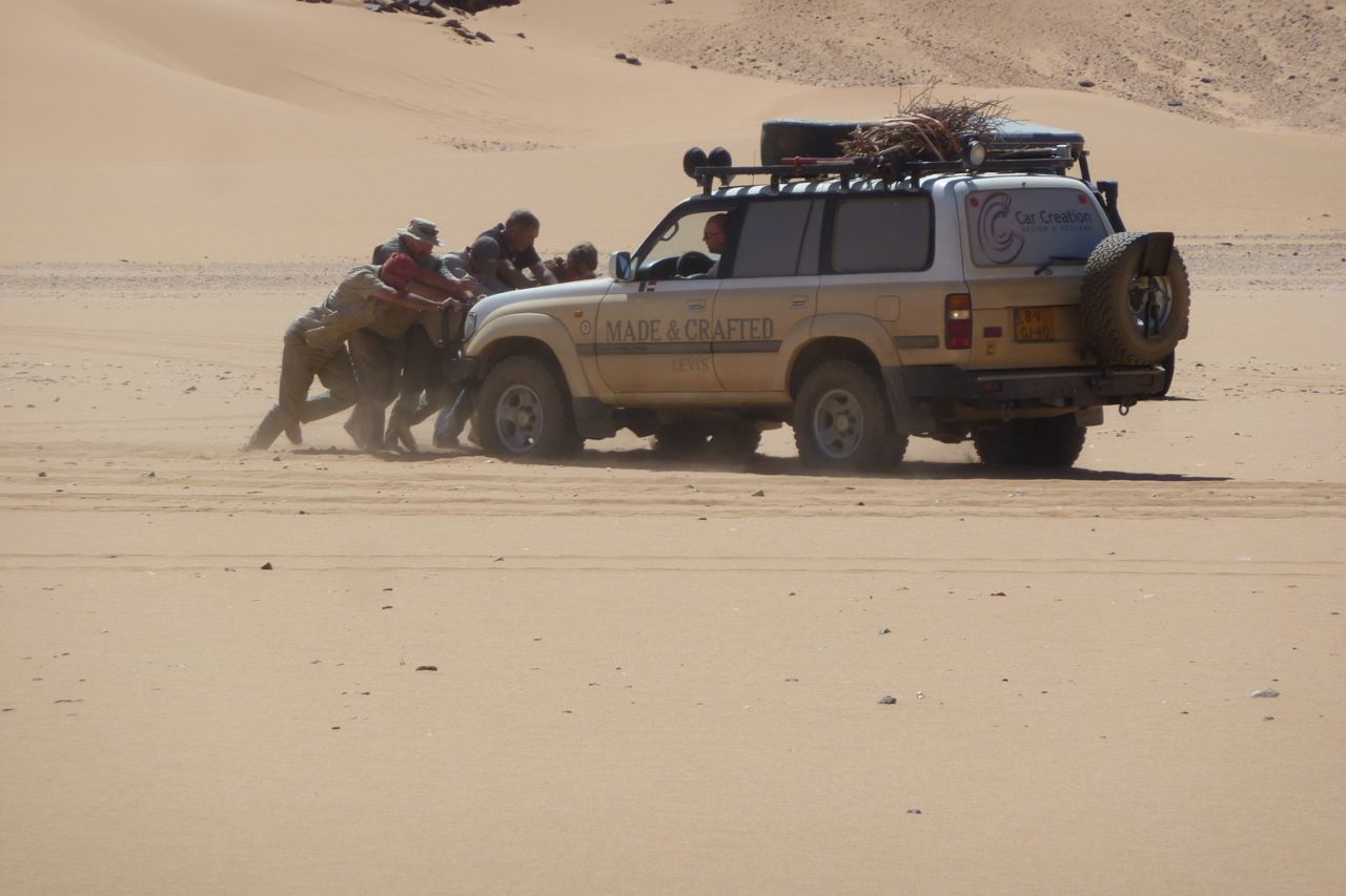
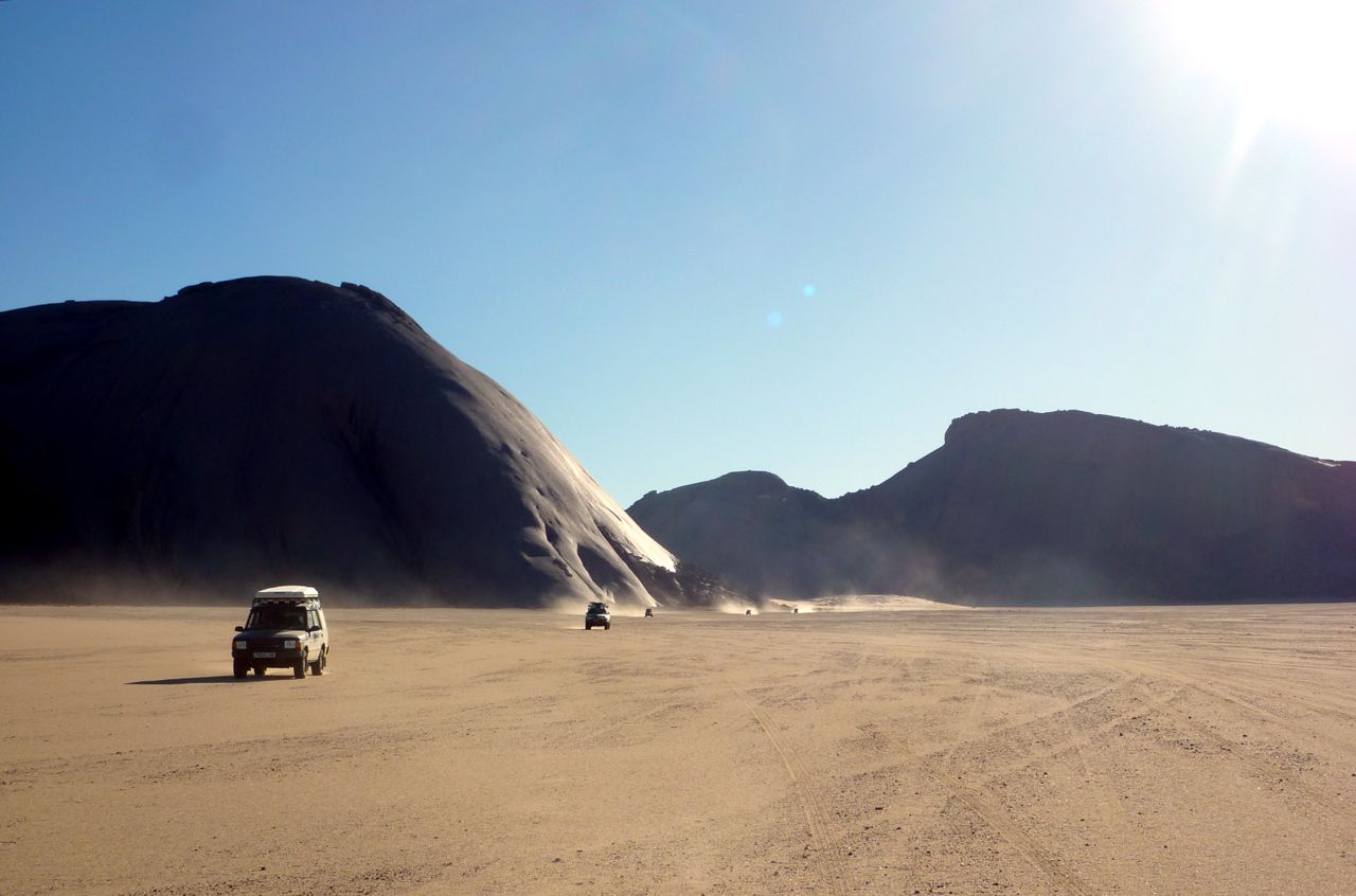
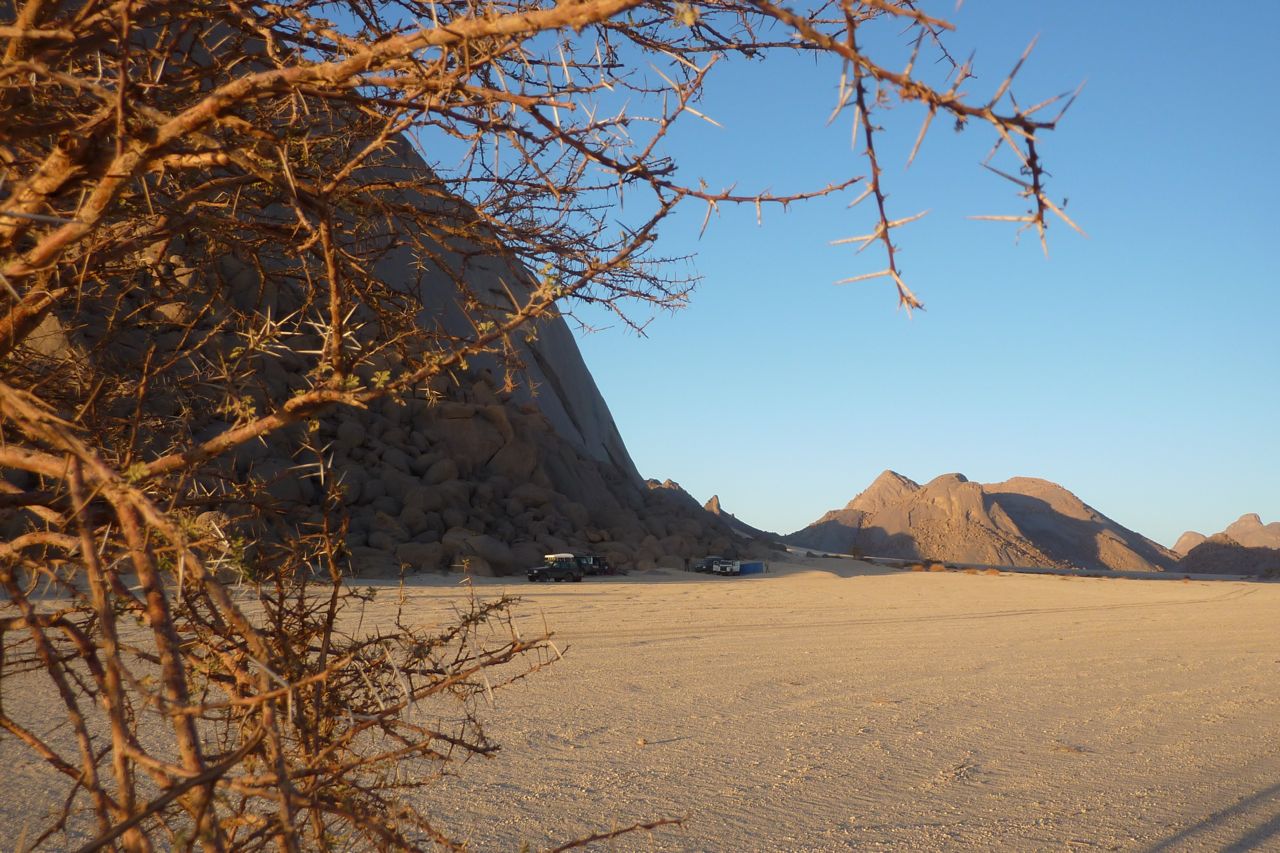
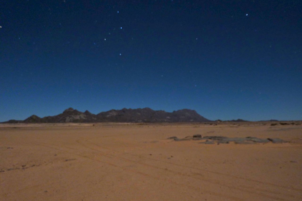
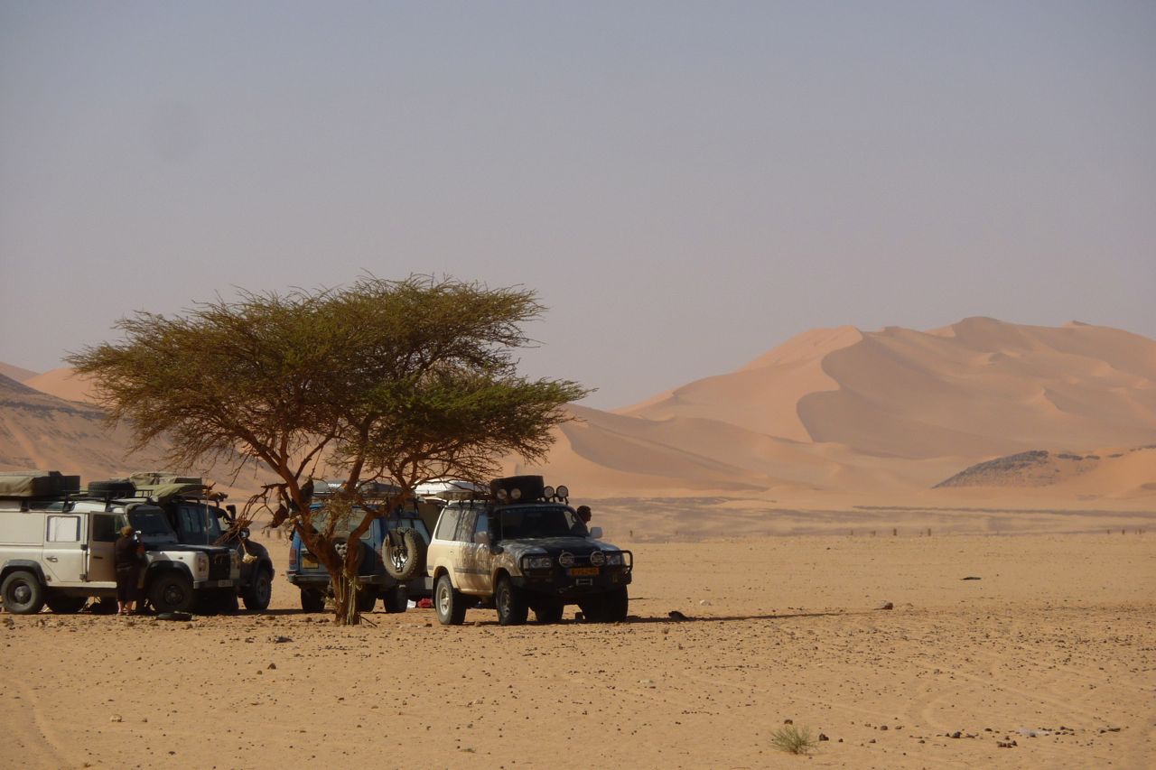
Gallery: 2022 Morocco Fly & Ride
1 Reply
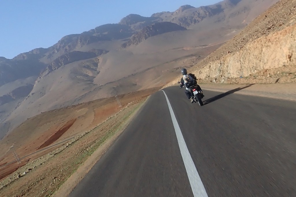
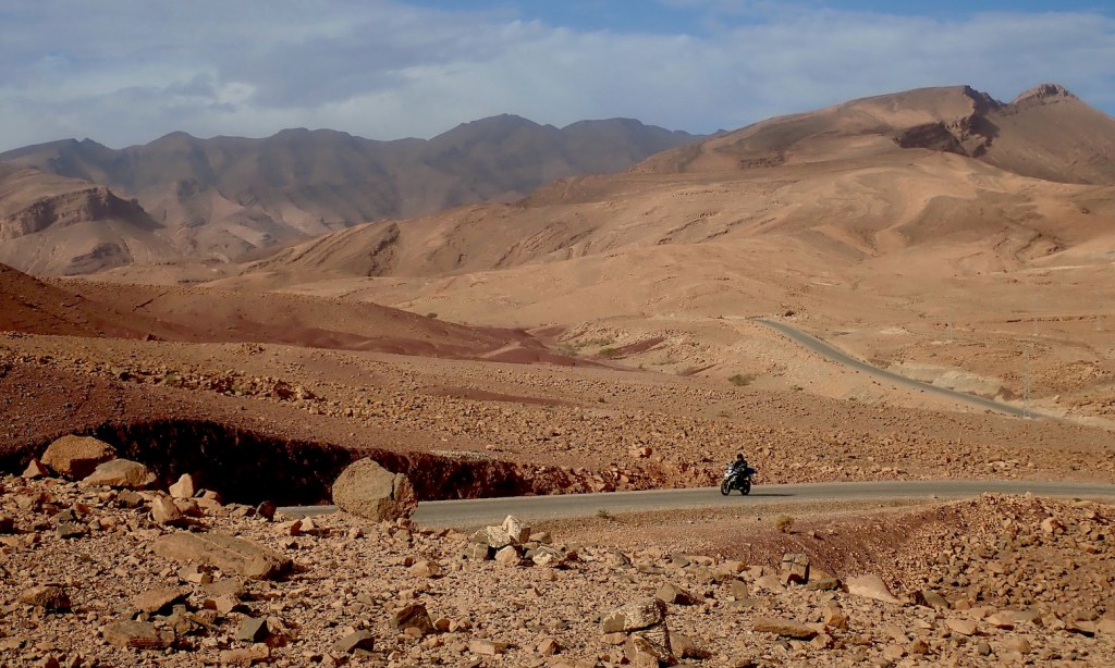
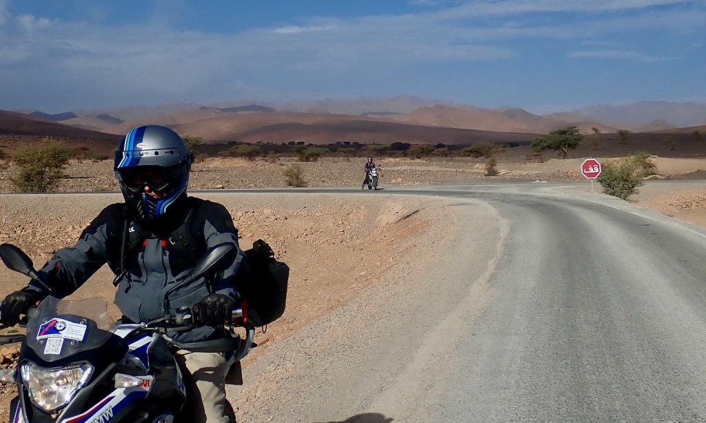
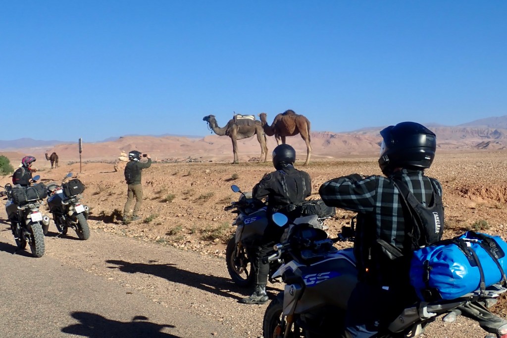
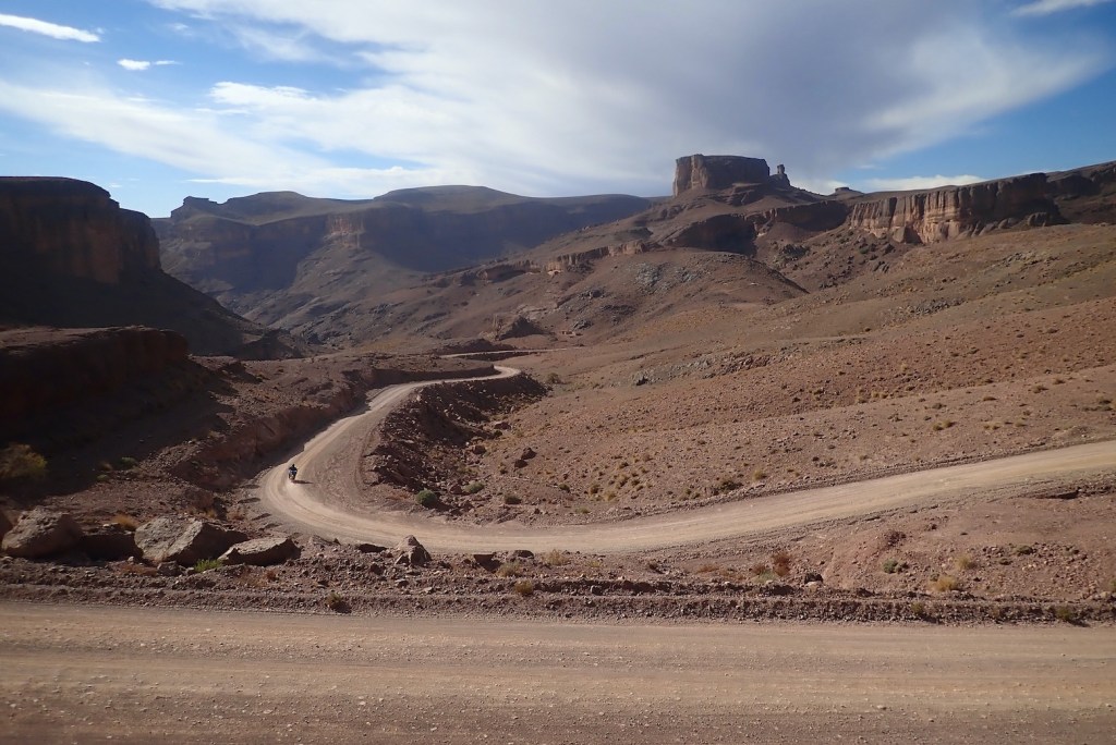
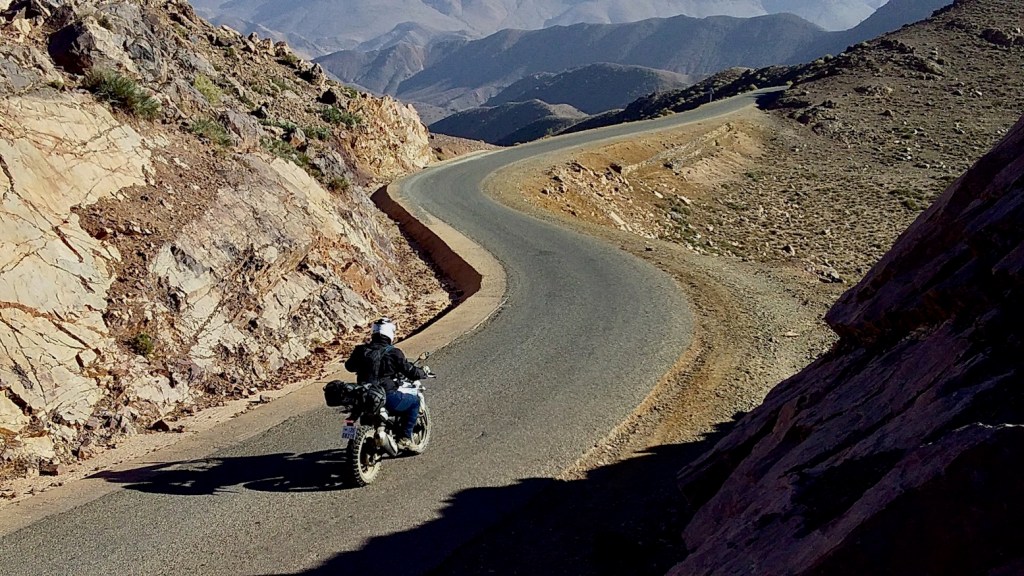
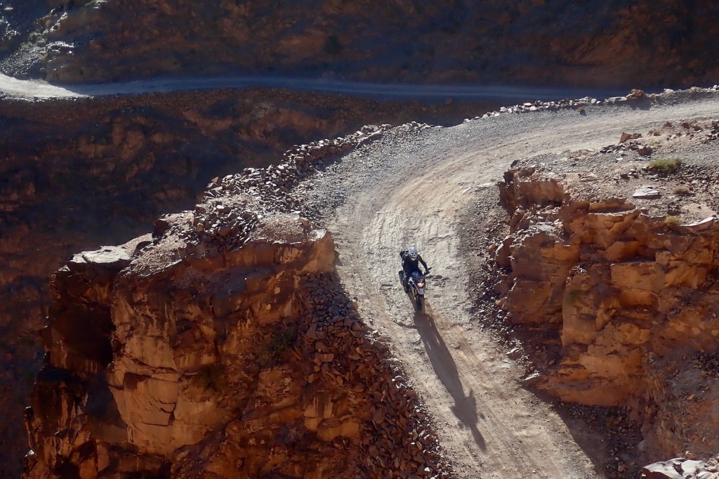
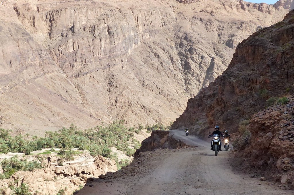
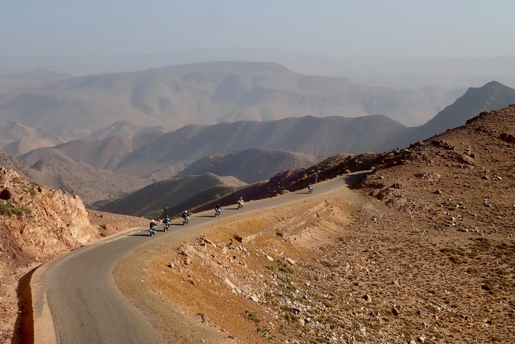
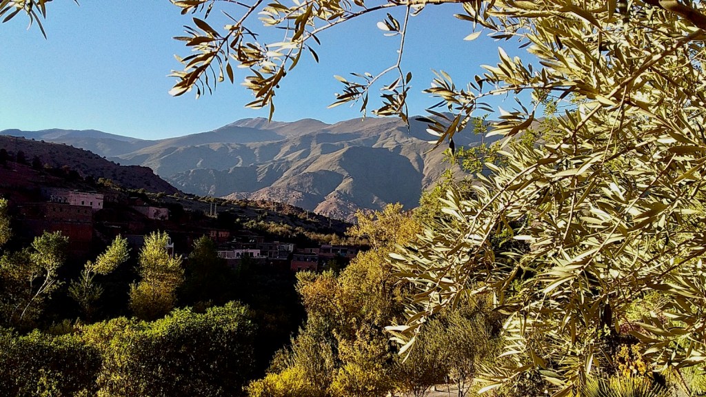
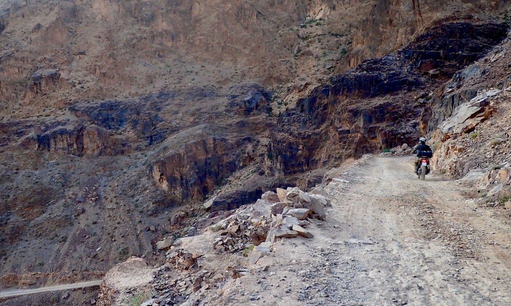
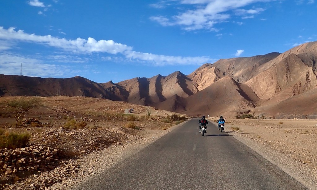
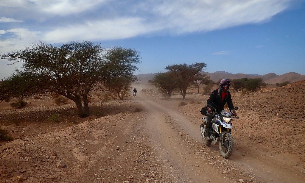
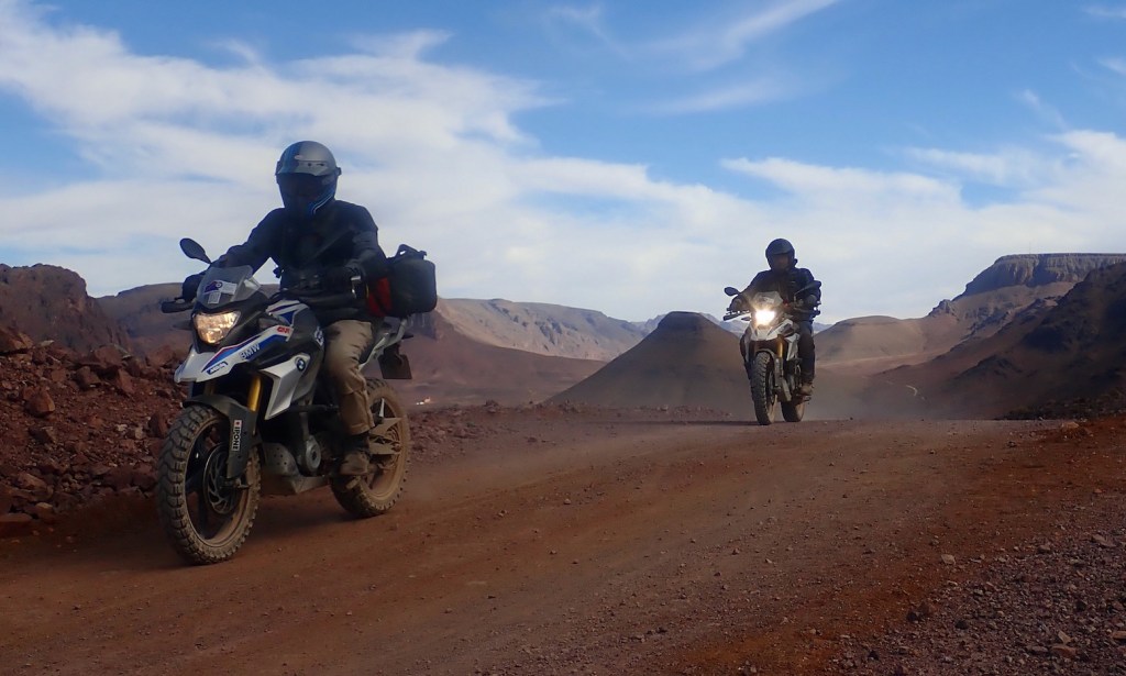
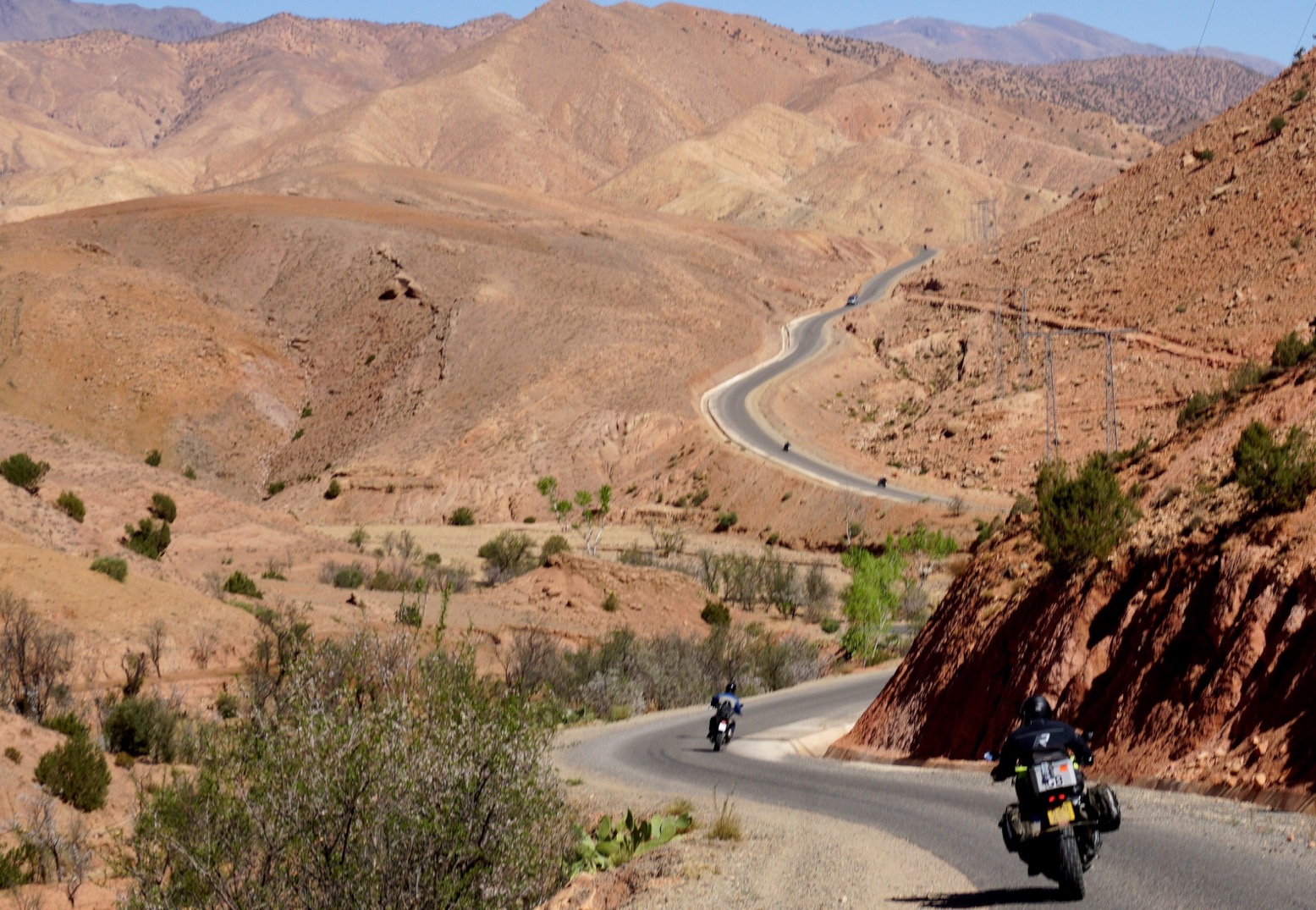
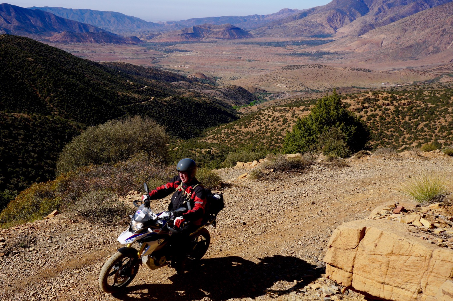
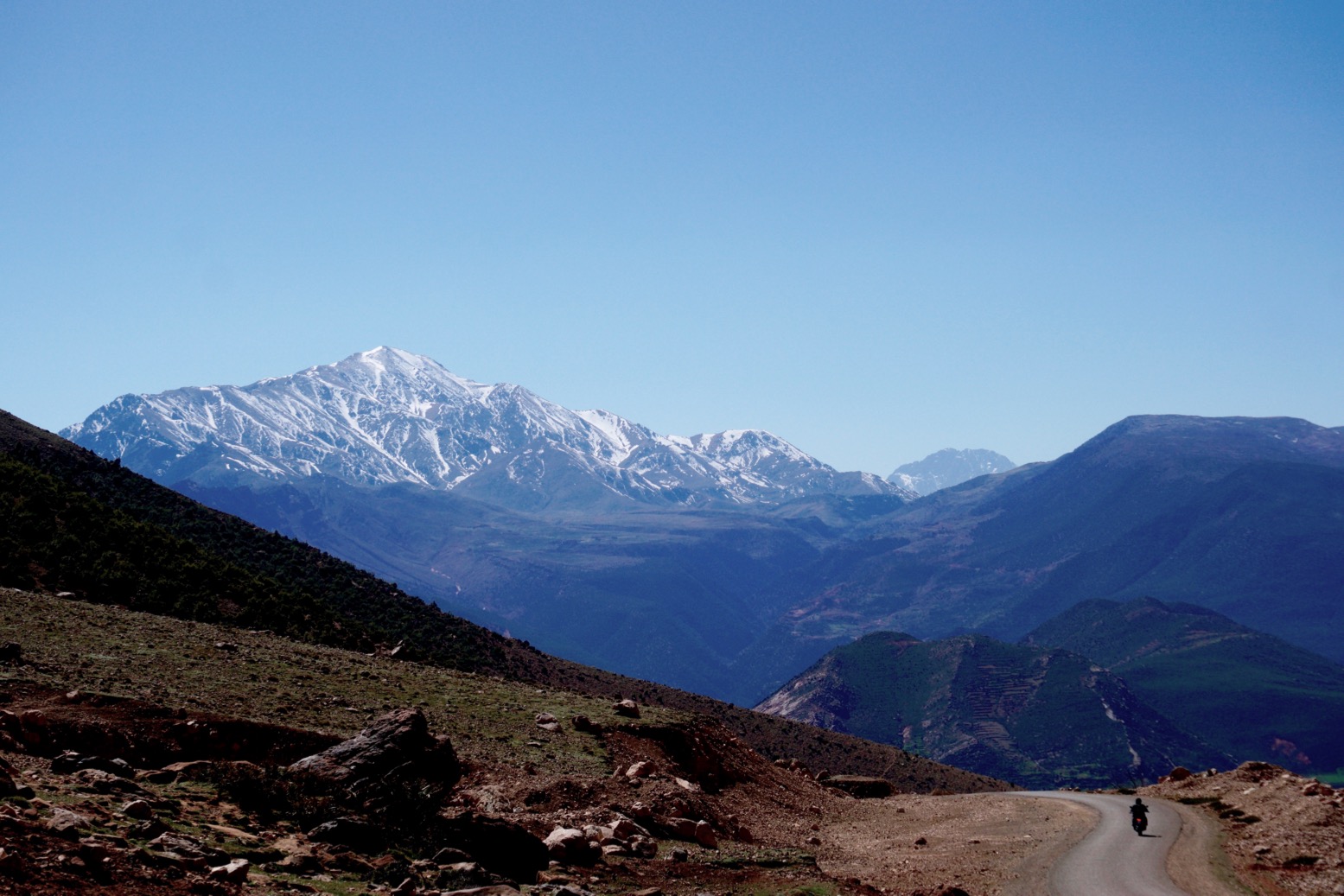
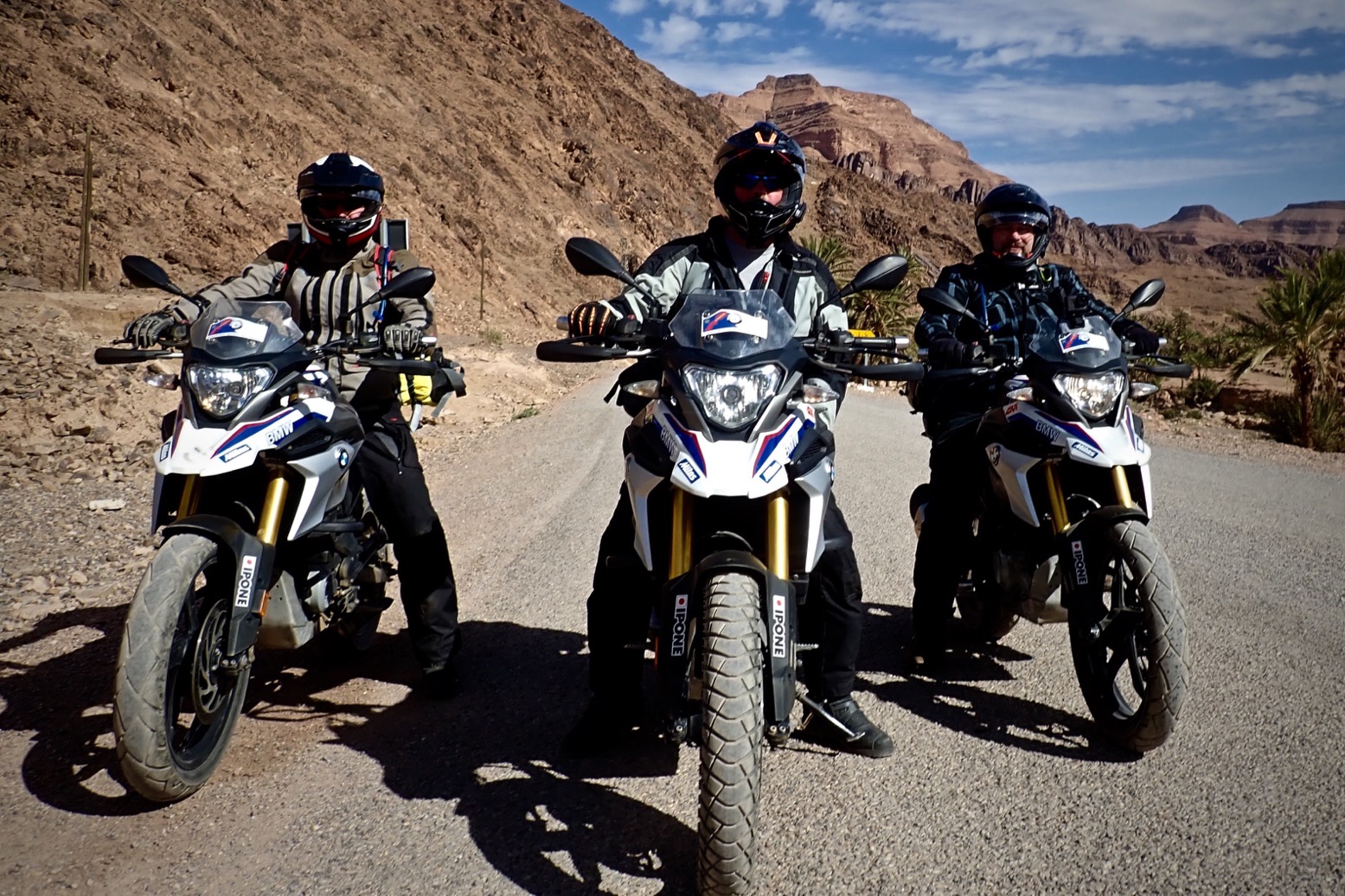
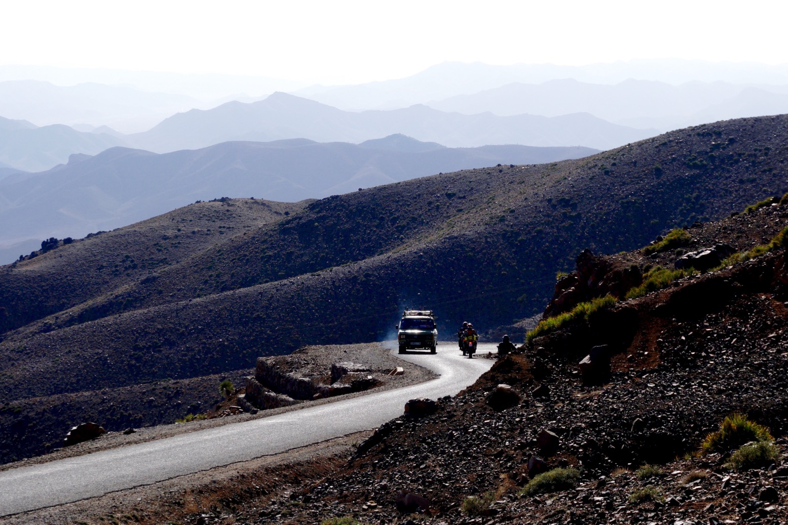
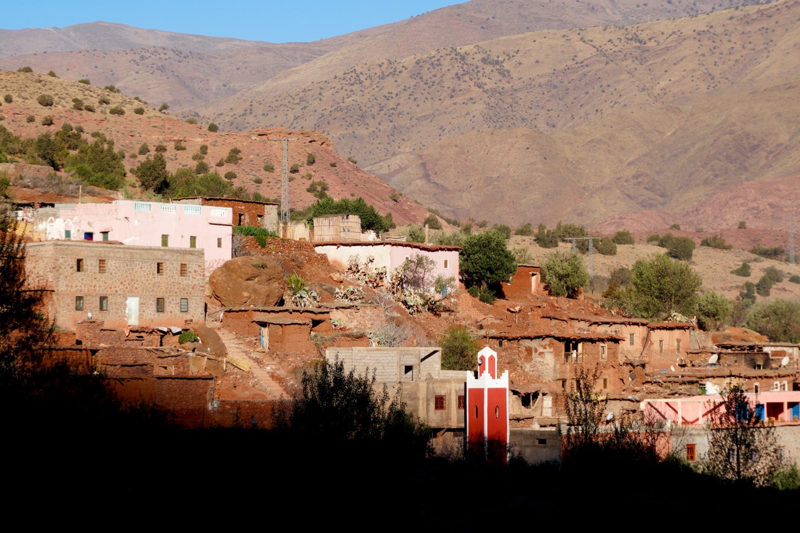
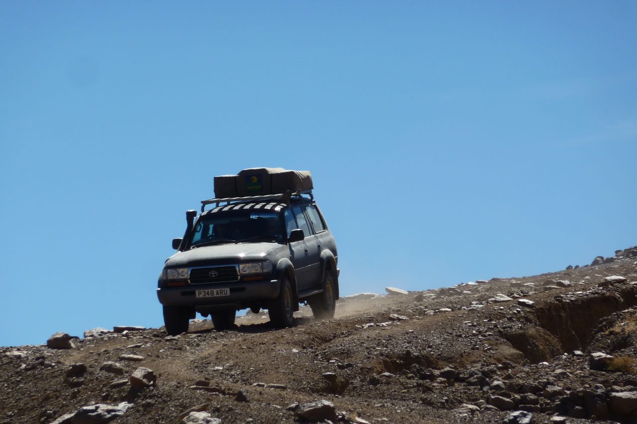
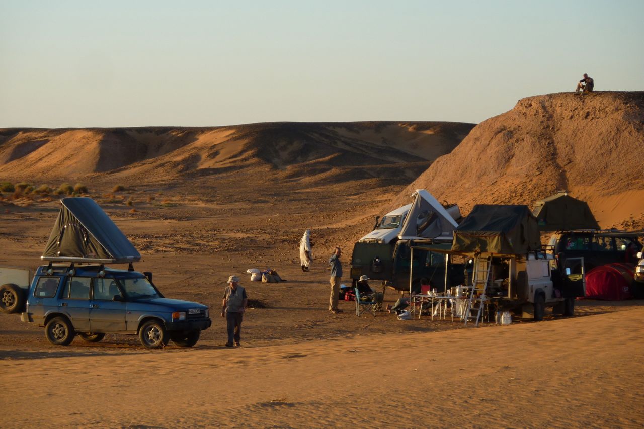
Just back from the first run of Morocco Fly & Ride tours in three years and it looks like we weren’t the only ones. Although my route dodges most tourist enclaves, there were loads more visitors than normal for November. I even saw three other bike tours over a few days. Normally we see none. It was a lot hotter than normal too; right up to my last day it was 30°C in Marrakech in late November
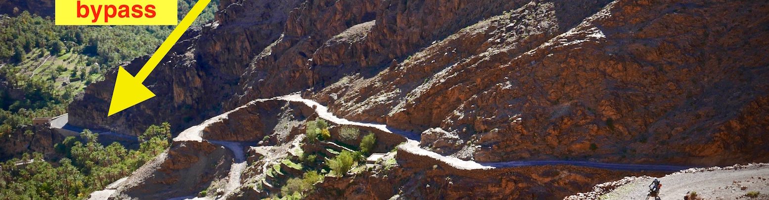
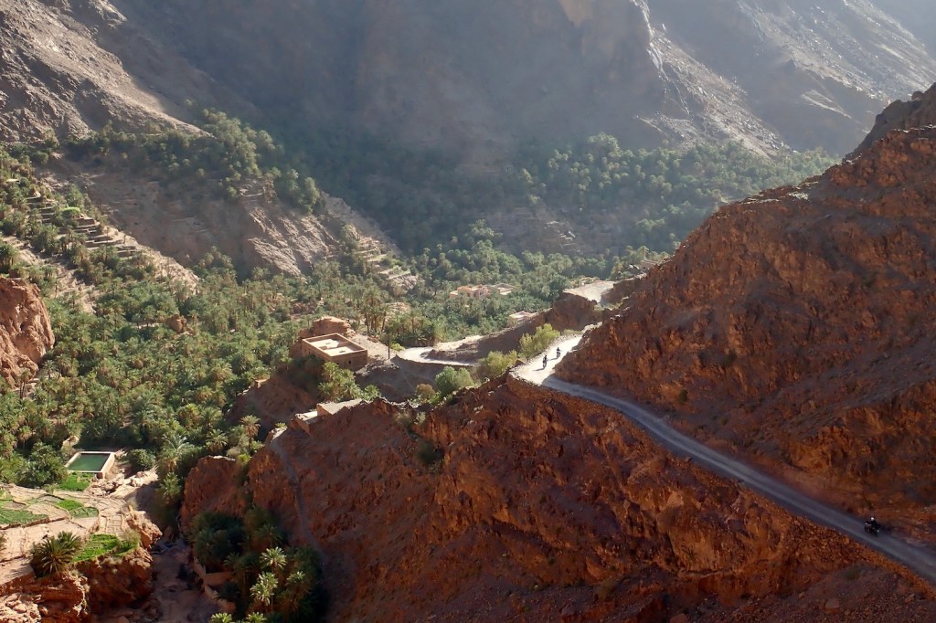
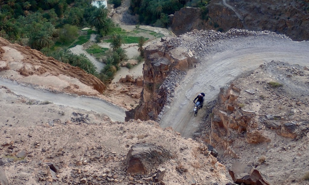
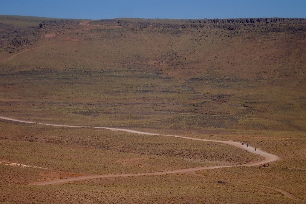
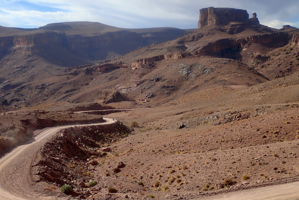
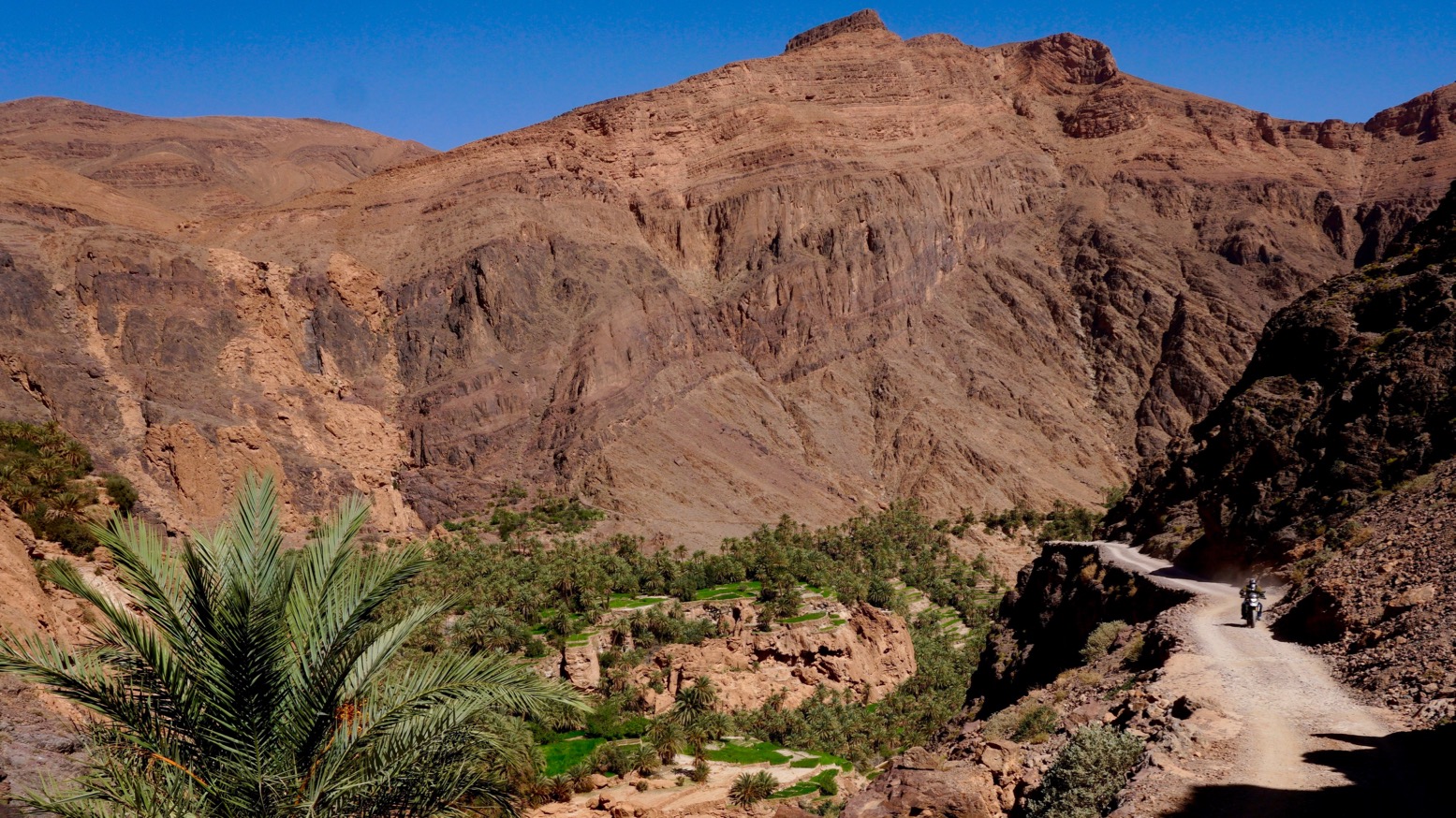
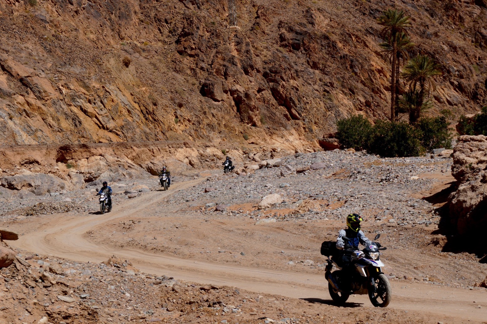
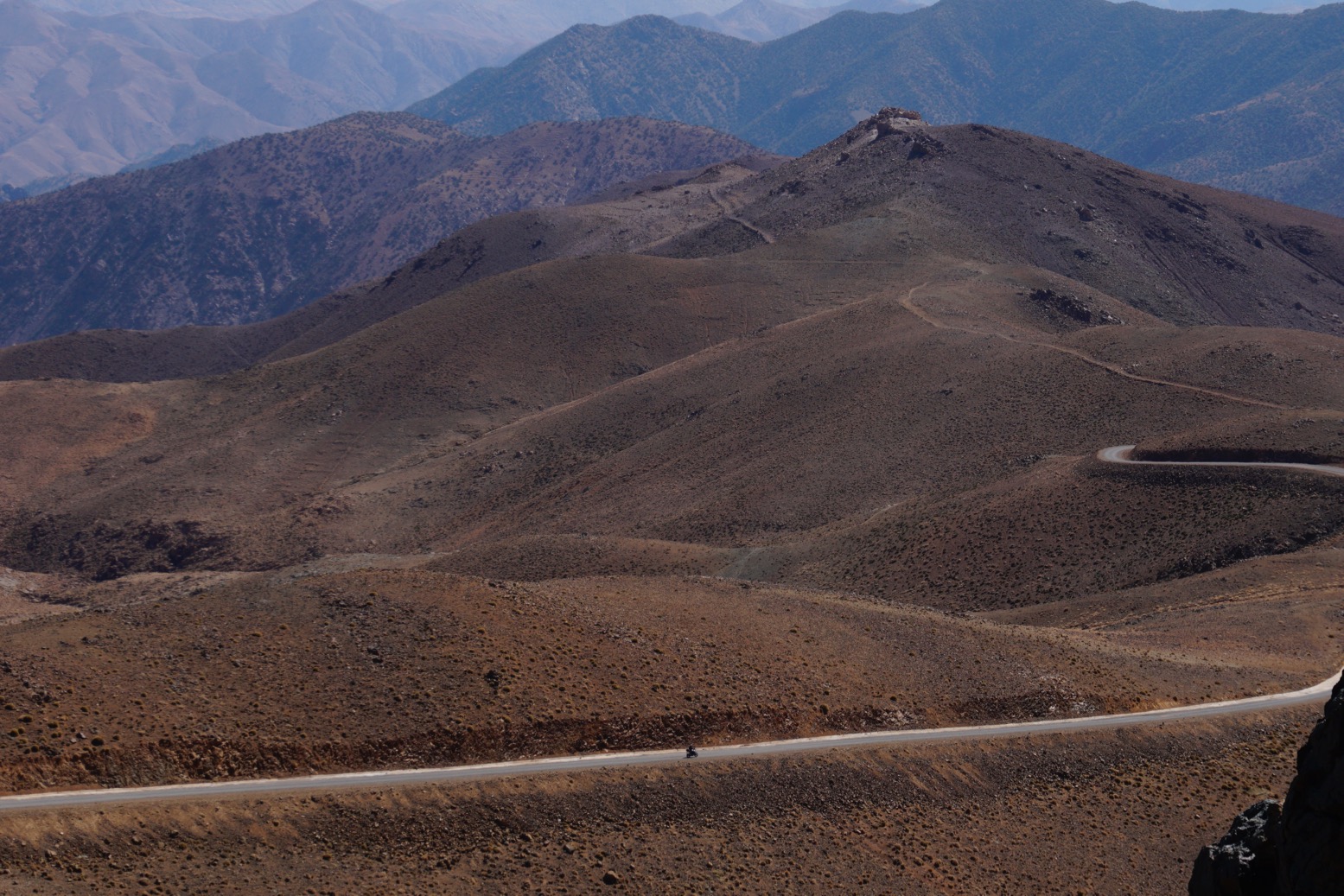
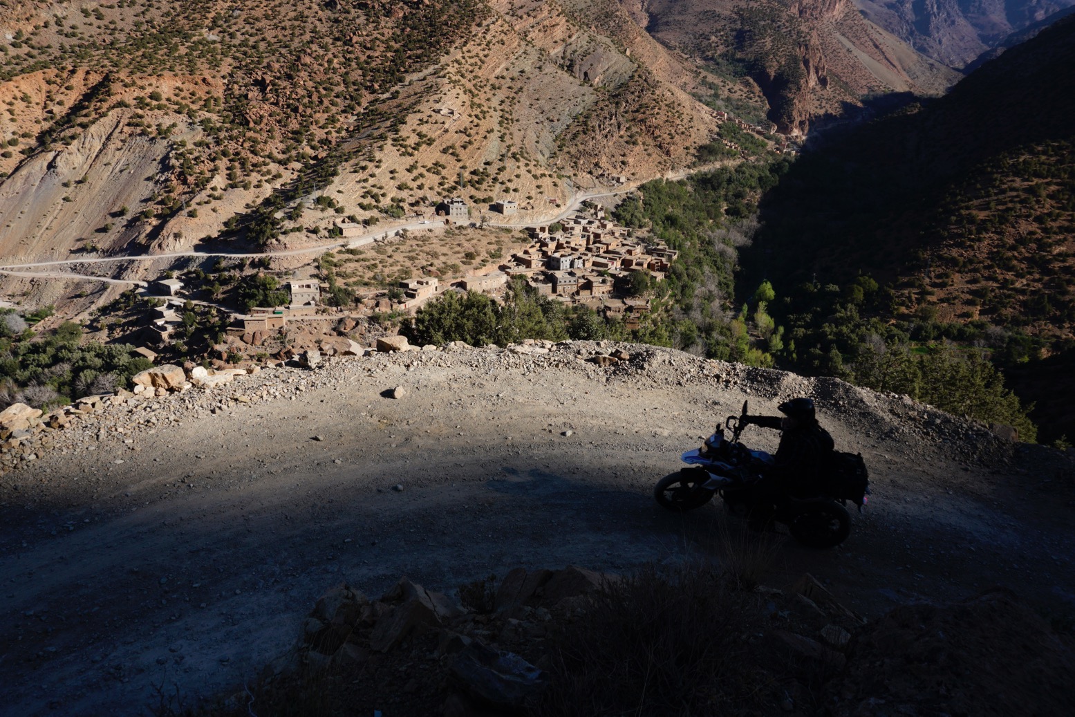
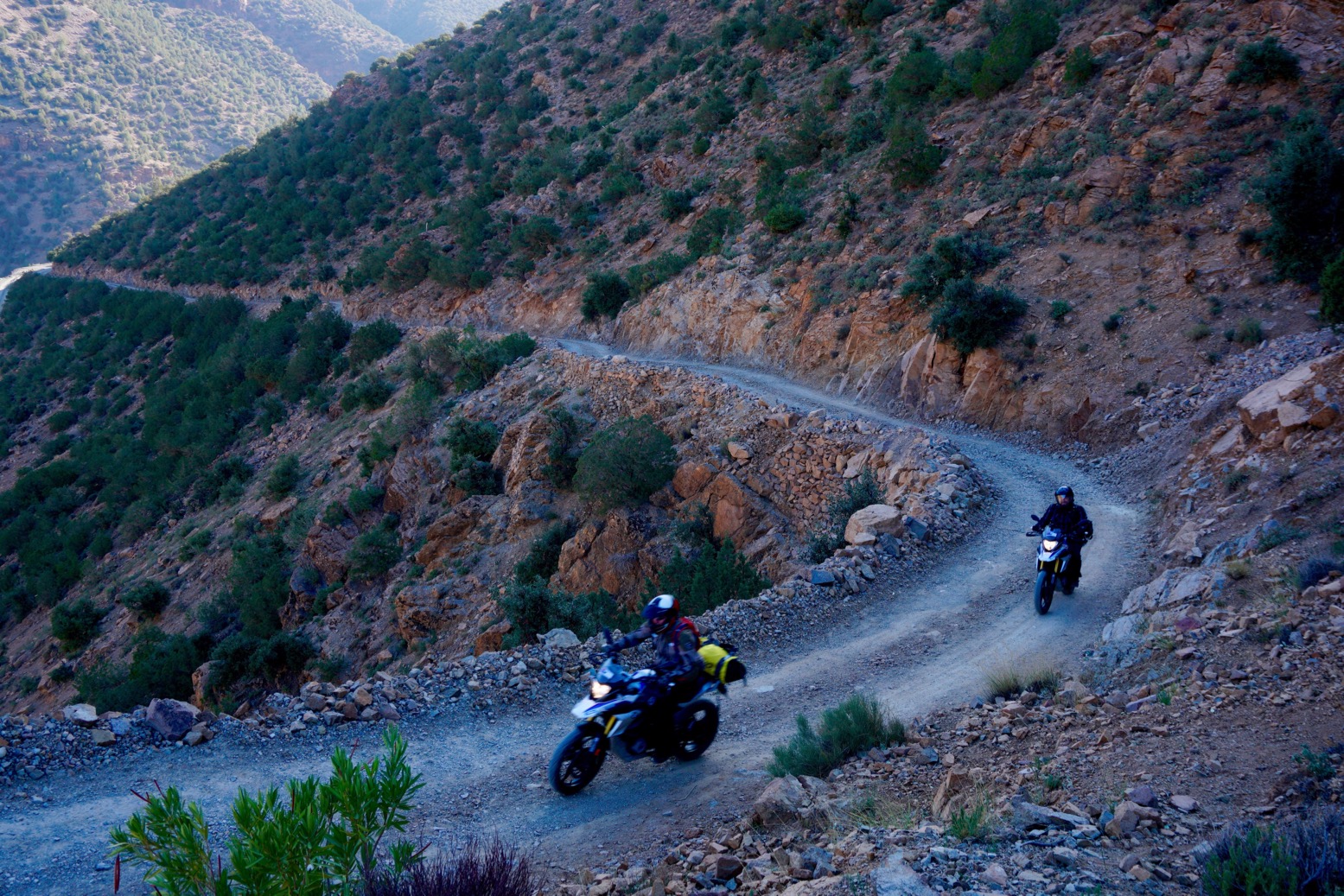
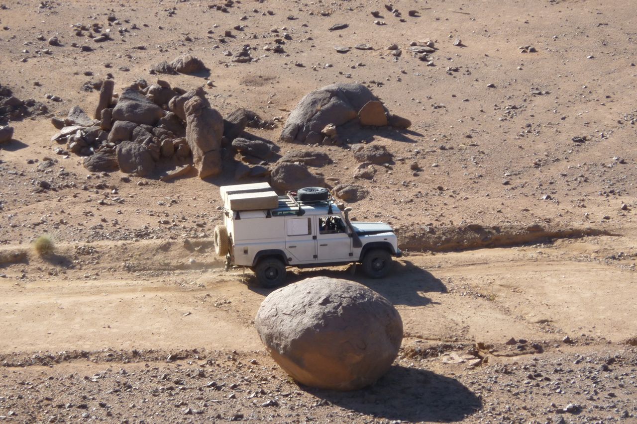
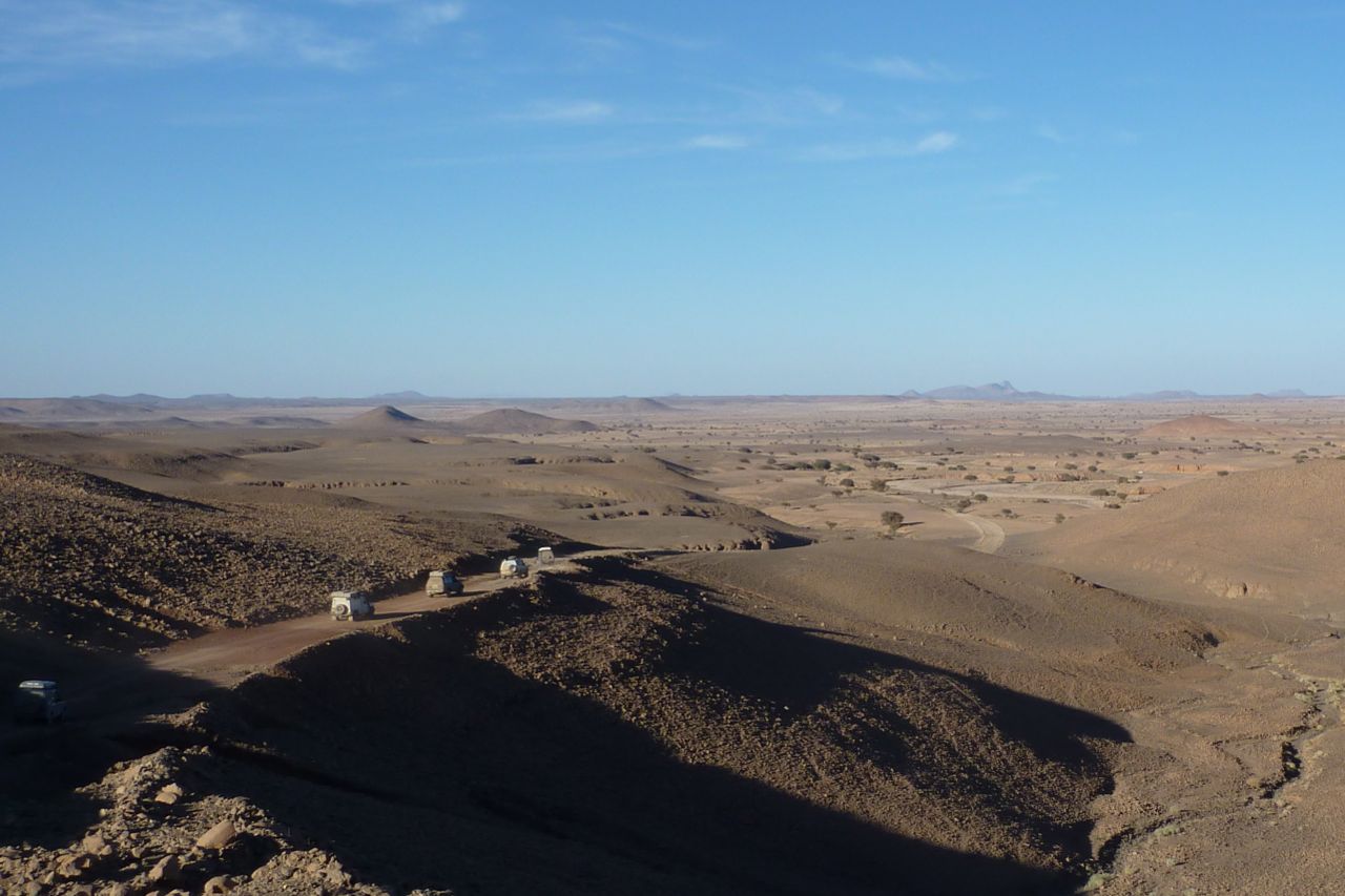
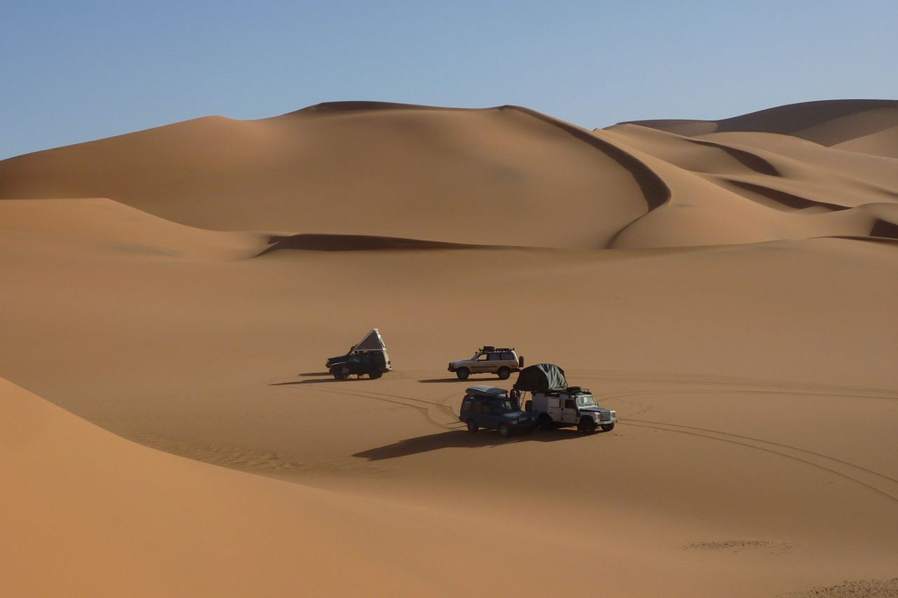
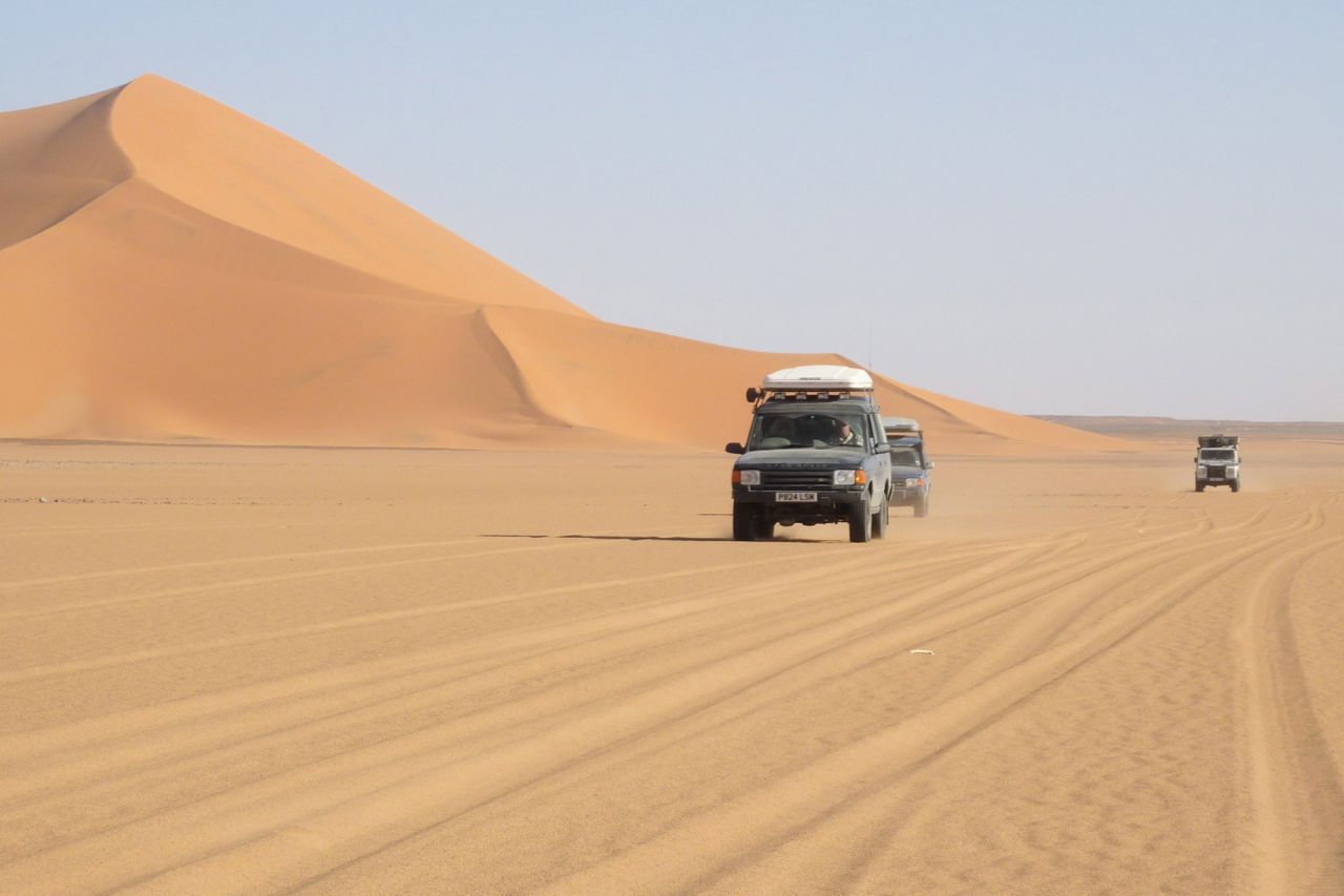
Fuel and other costs are up by around 10% but other than that, nothing much appears to have changed apart from the usual spread of tarmac. As a result I’ve changed the penultimate day to a long, 100-km track across the hills. It adds a new level of subtle diversity to our one -week ride across the mountains and deserts of southern Morocco.
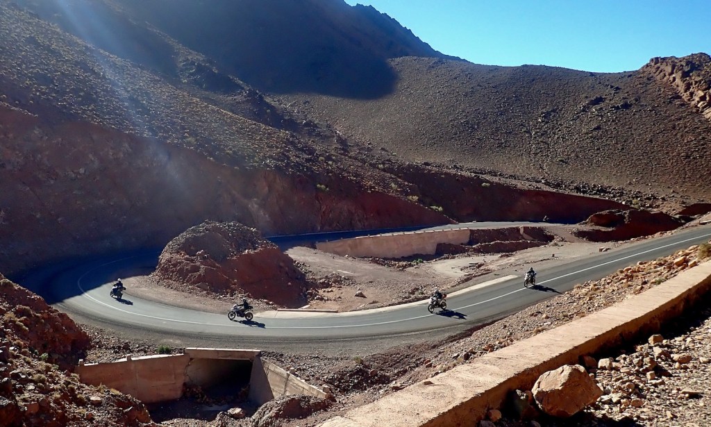
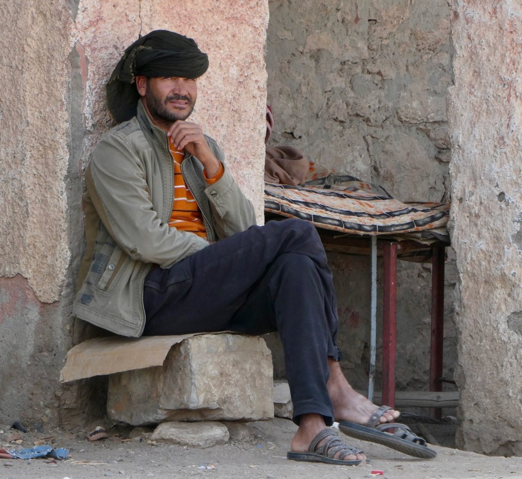
Includes pics by Robin T and others

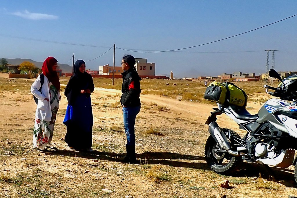
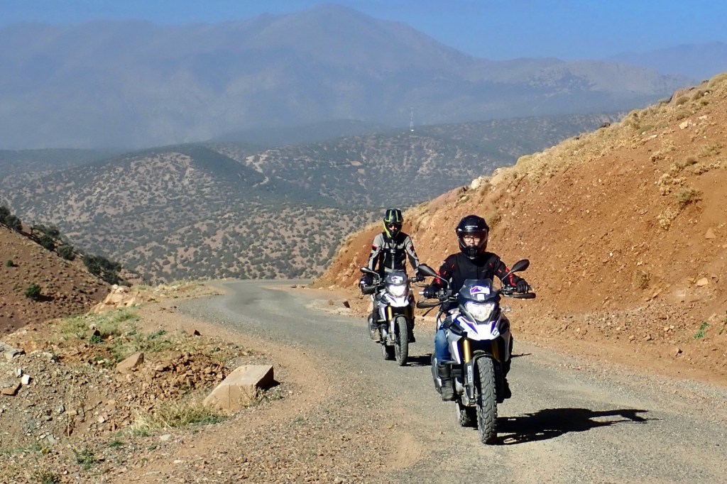
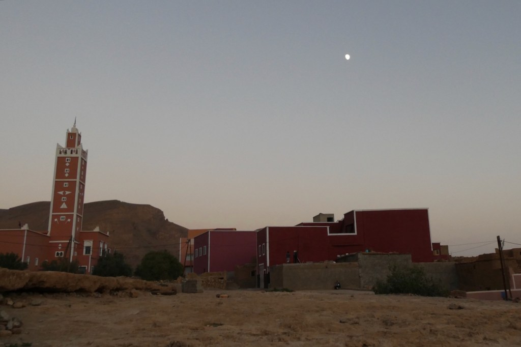


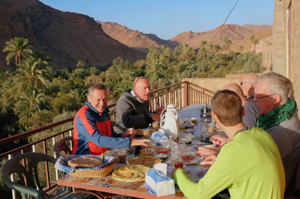

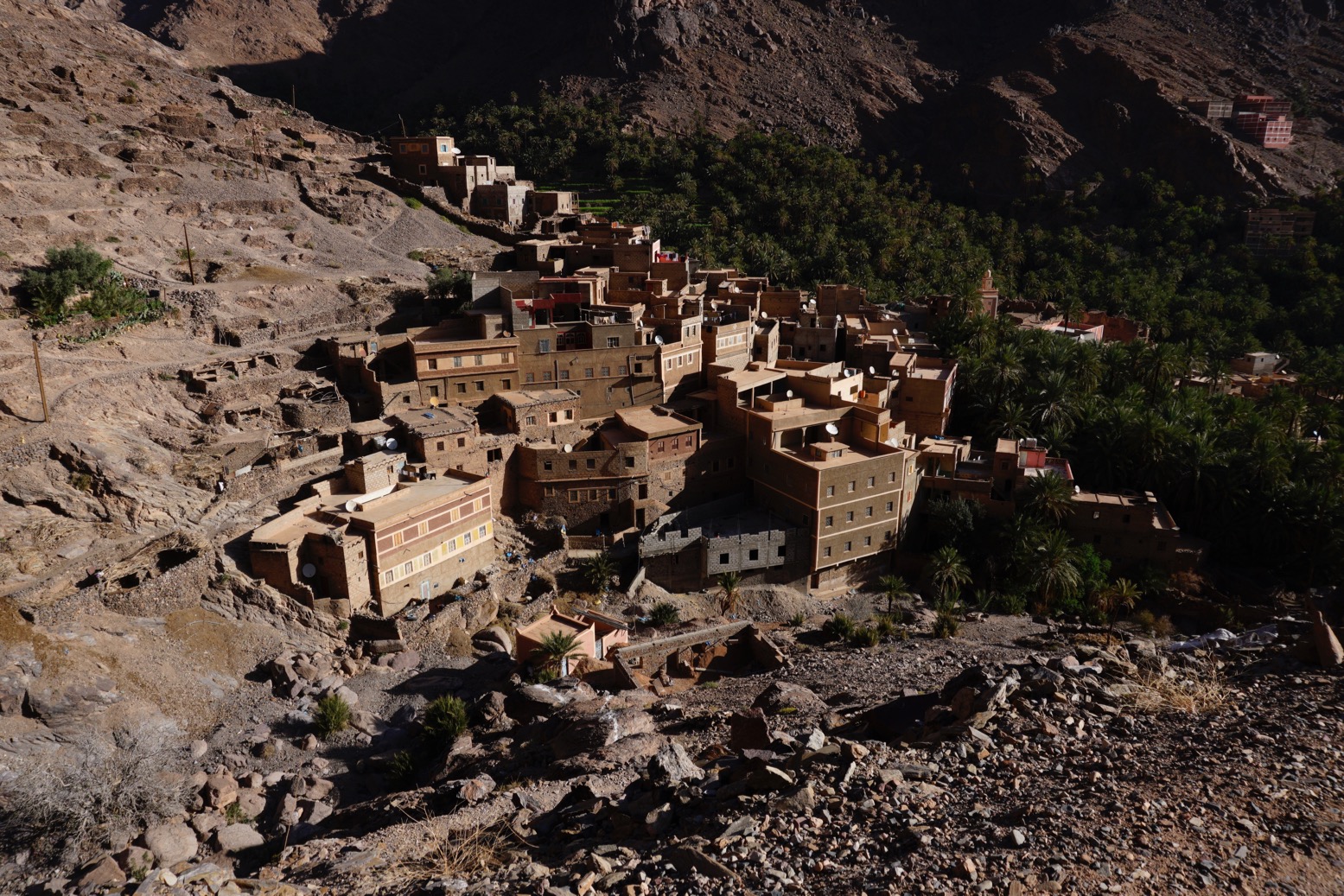
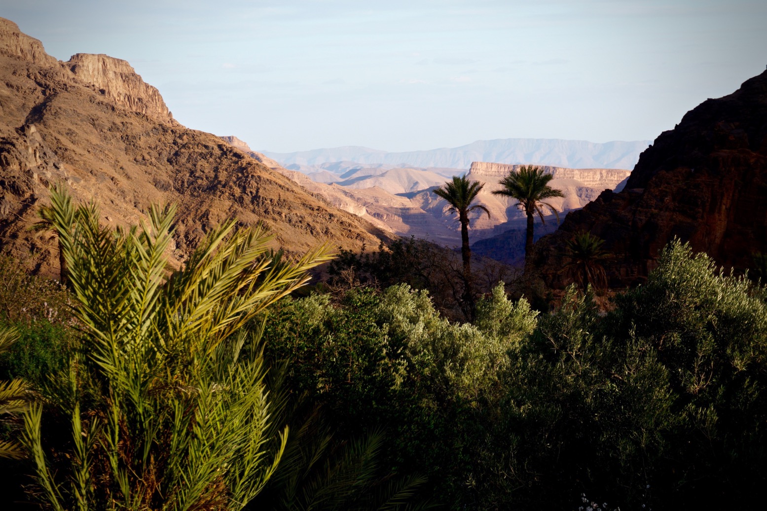
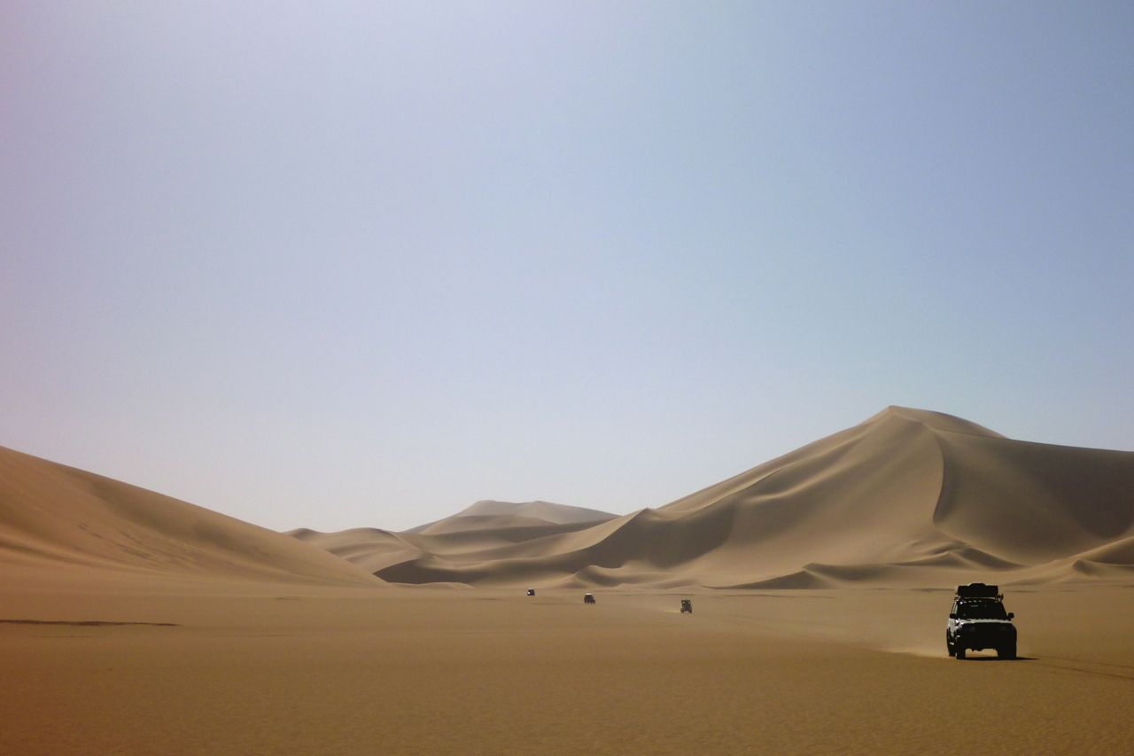
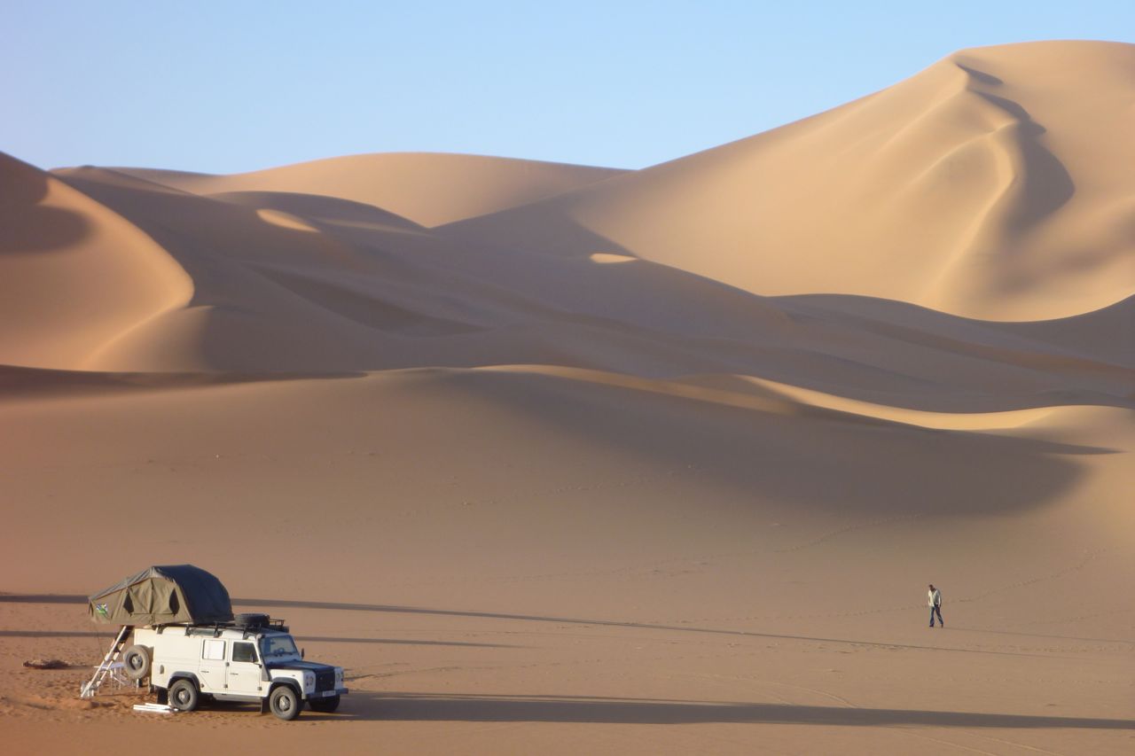
February 2020 Morocco – Gallery
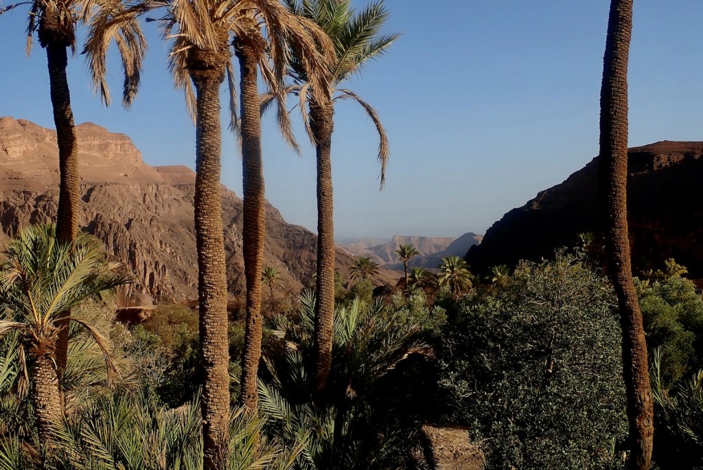
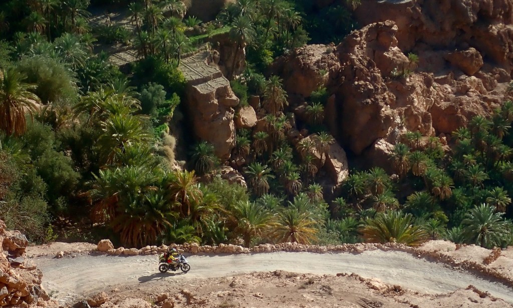
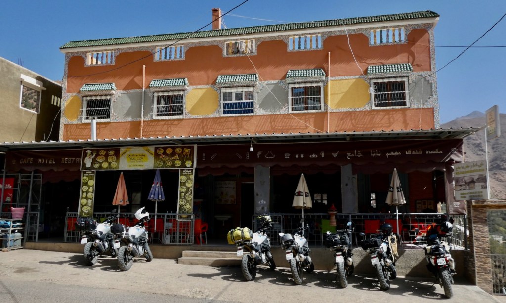
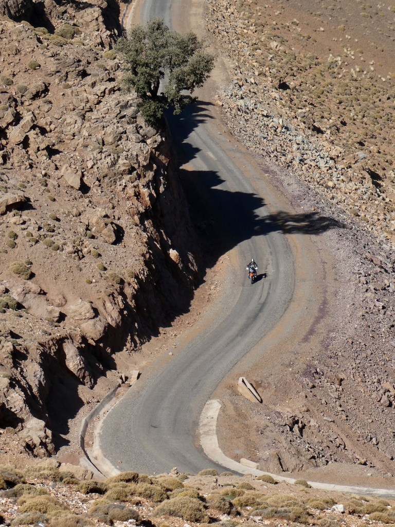
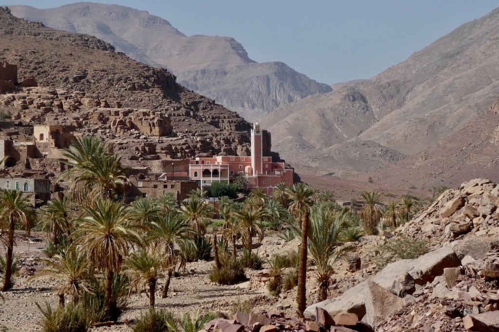
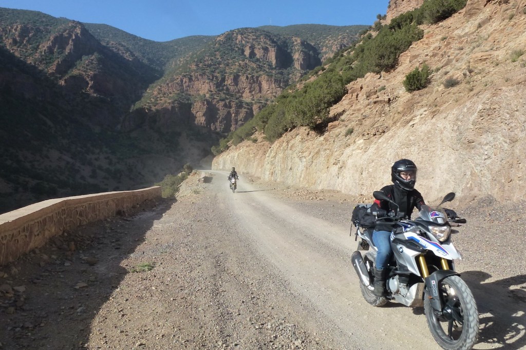
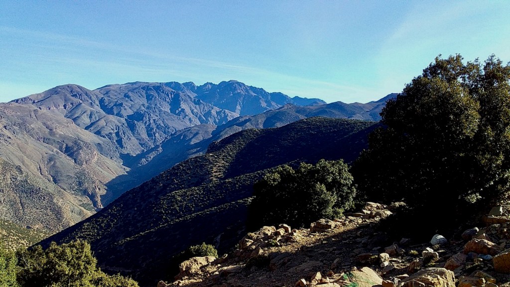
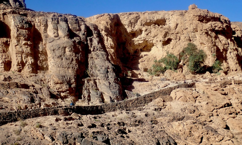
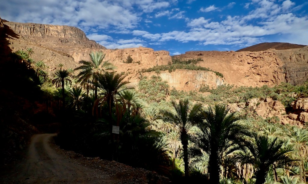
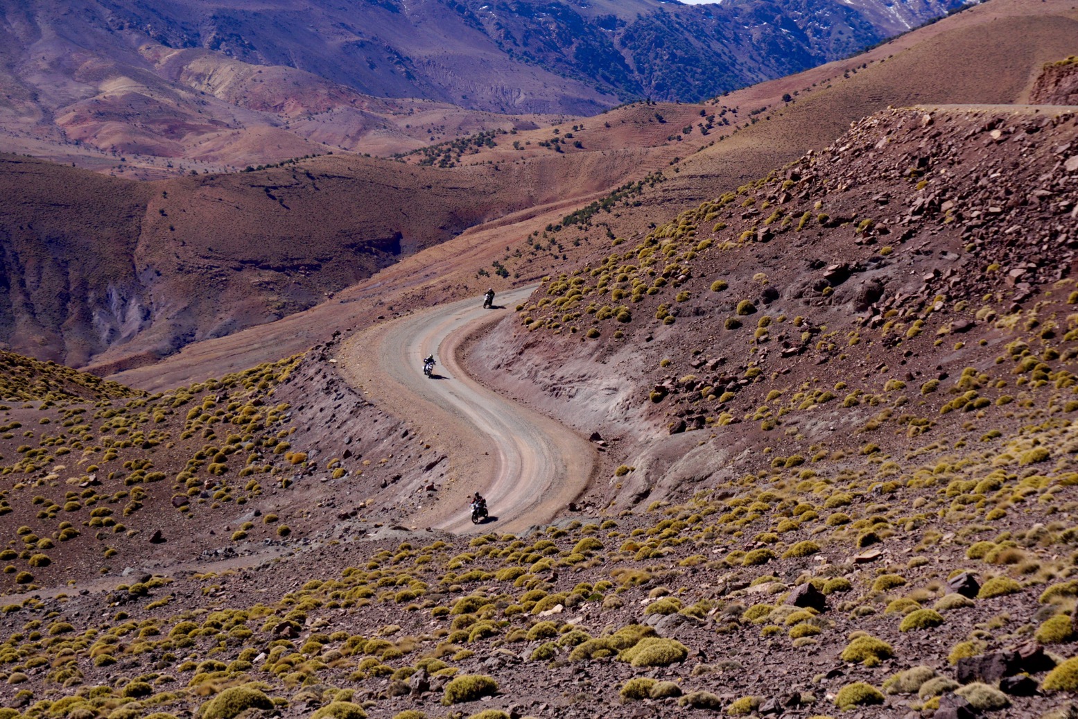
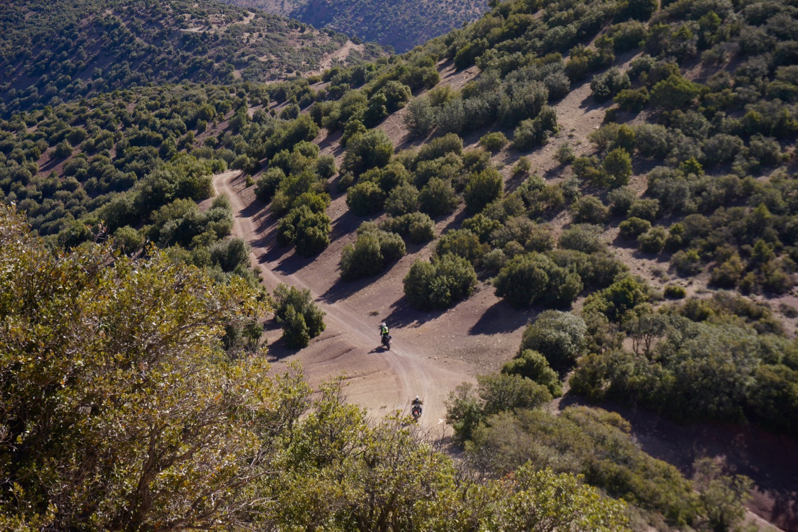
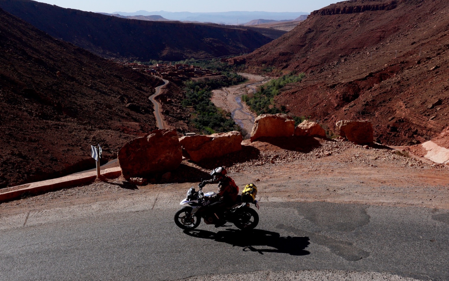
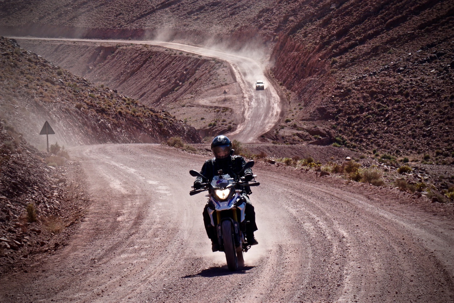
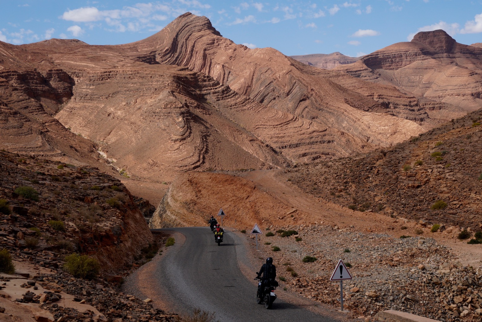
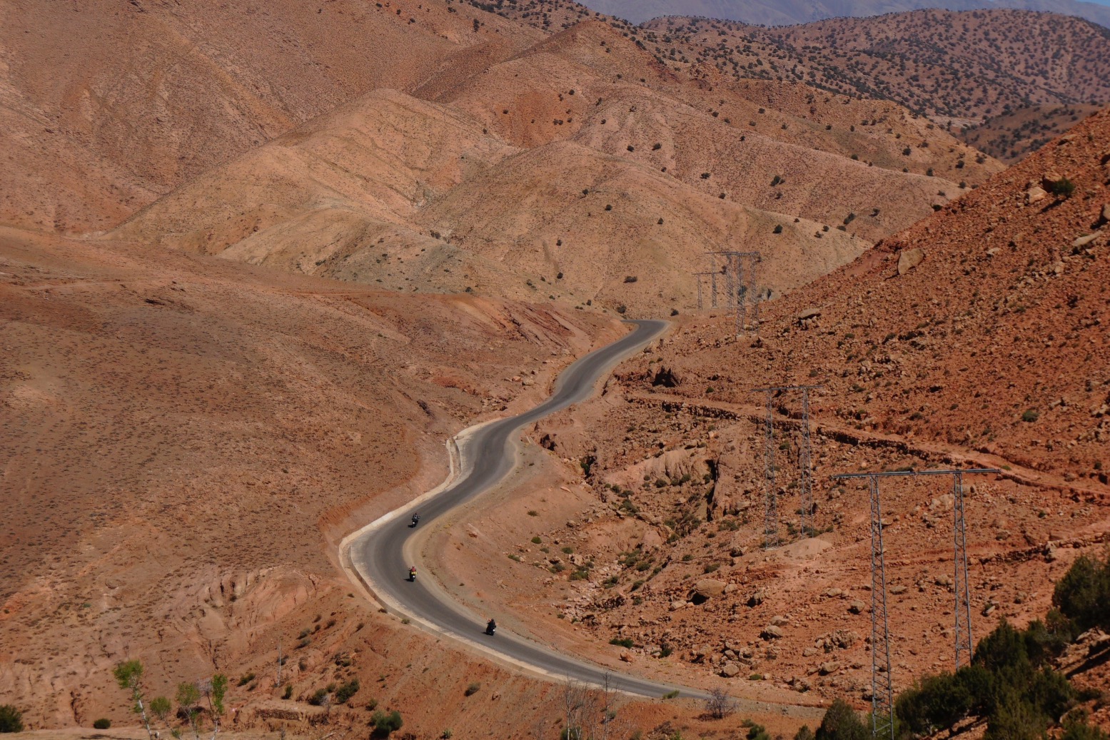
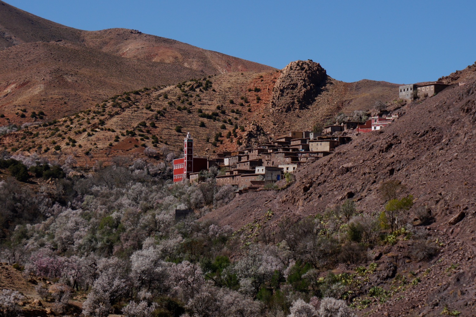
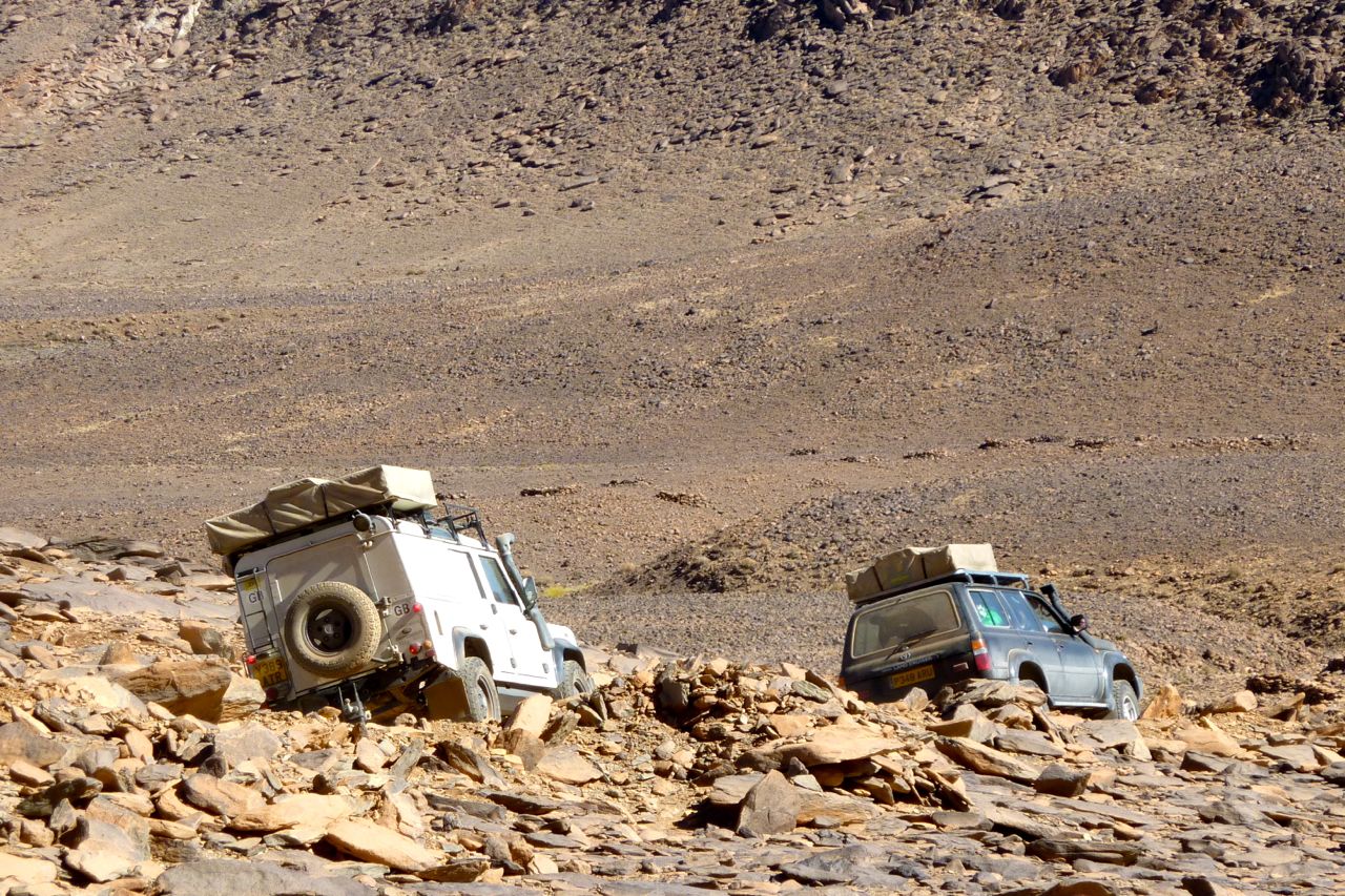
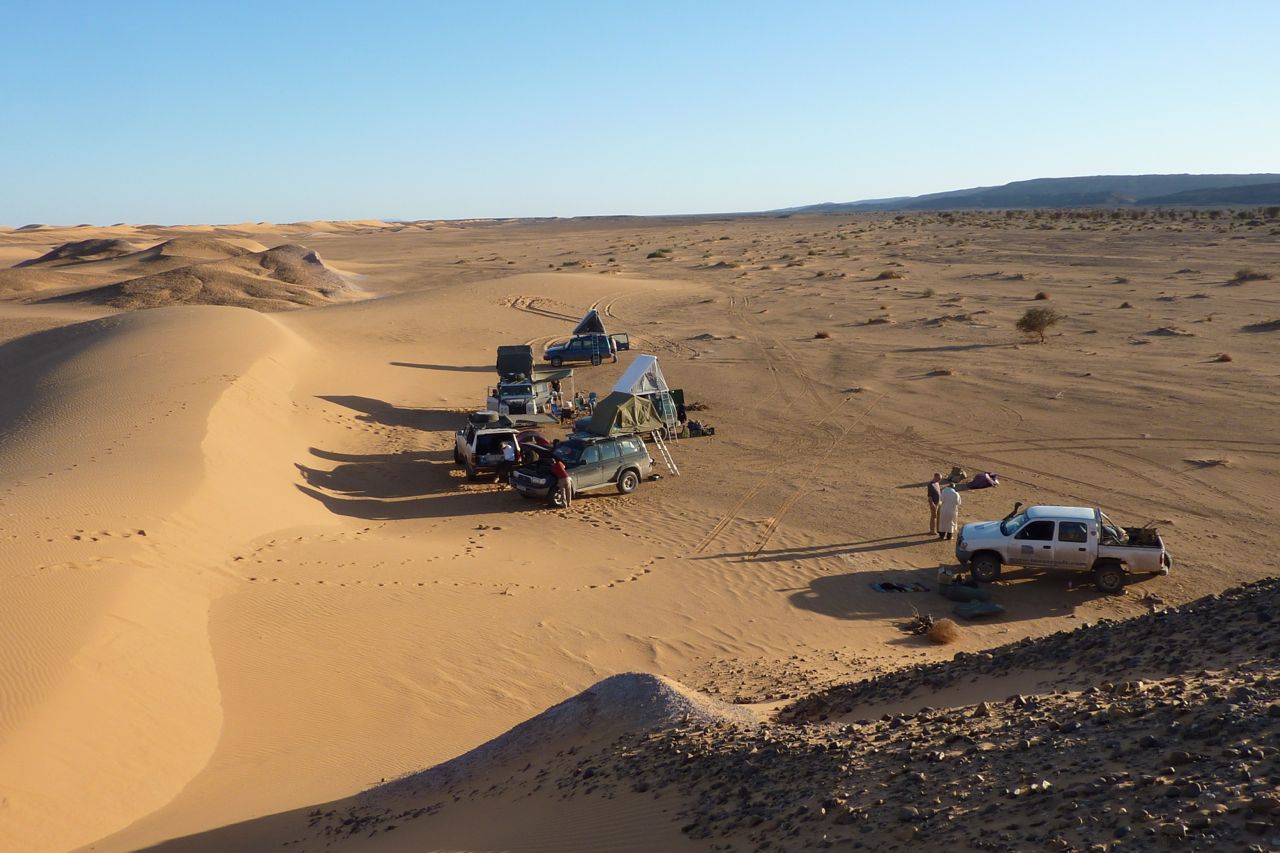
A few photos from the one-week February 2020 tours, showing the new first-day route over the High Atlas, off-road.
Next tours in November.
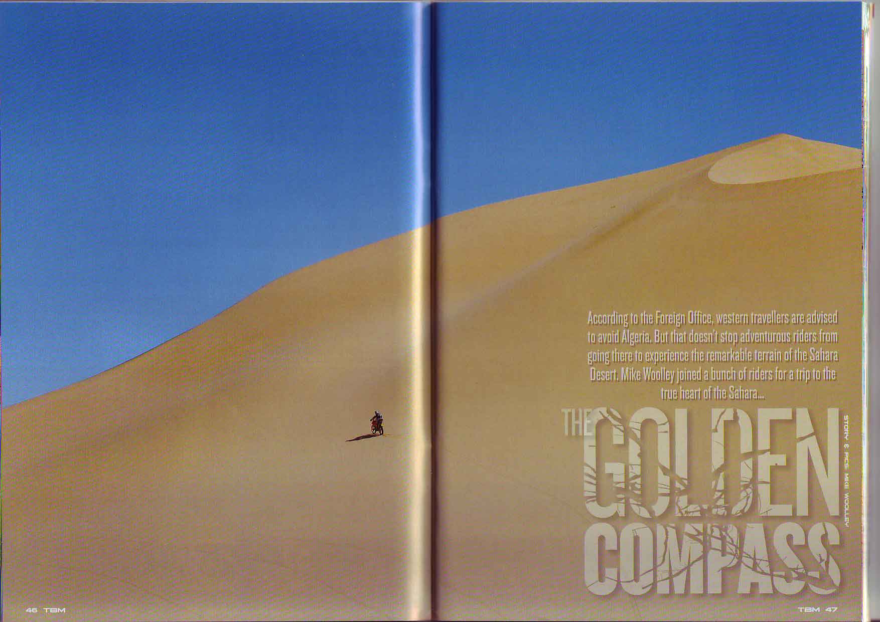
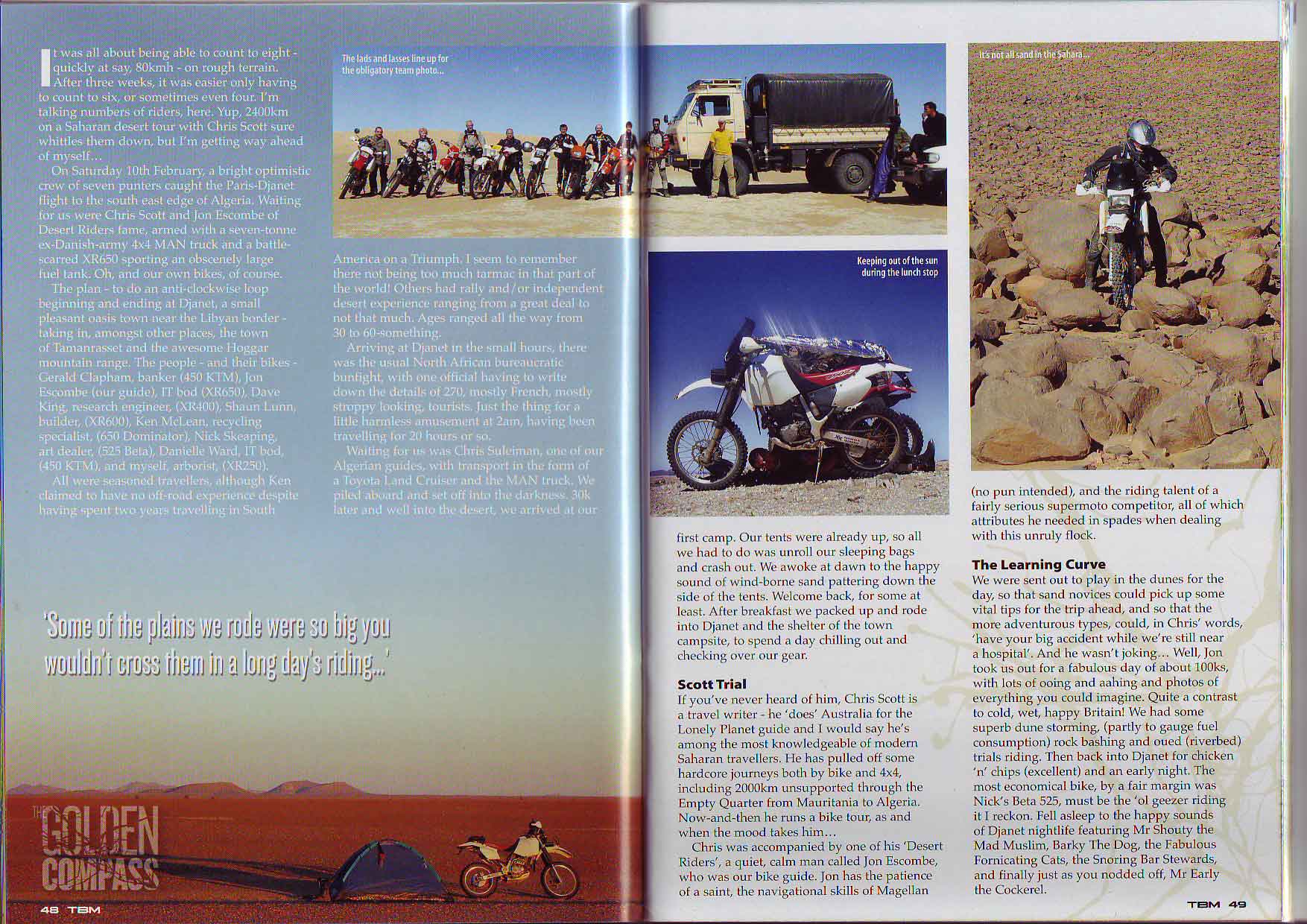
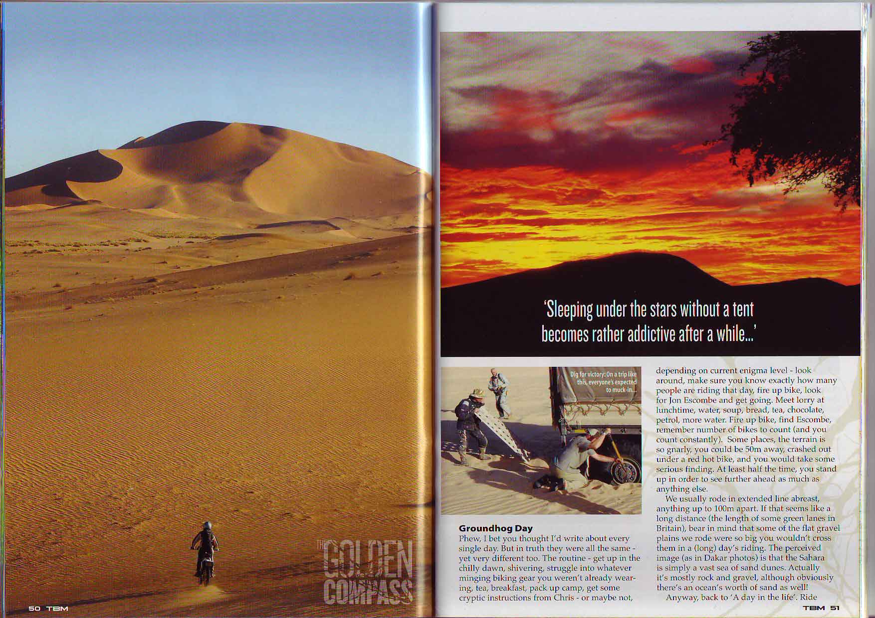
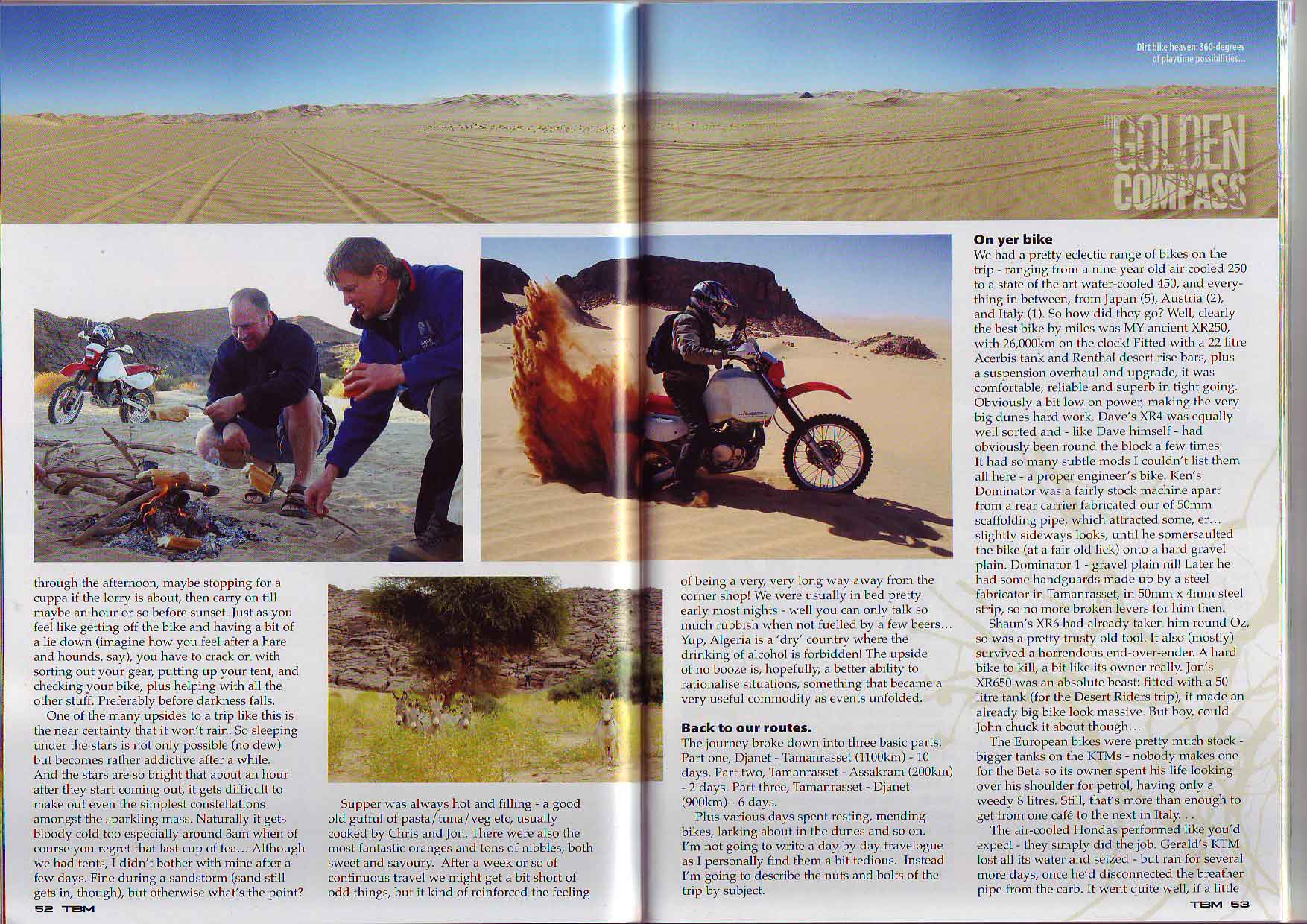
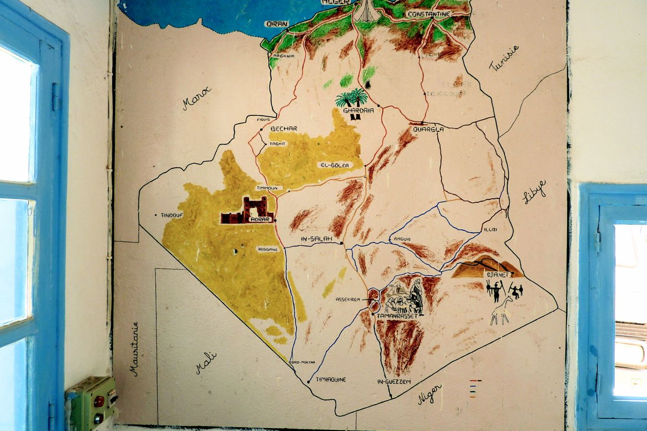
The Golden Compass – Algeria 2007

Sahara Camel Trek • Immidir Plateau
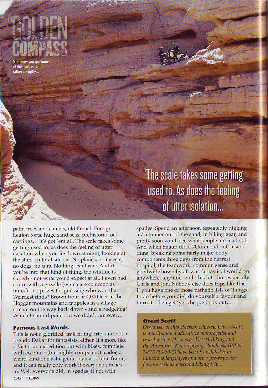
How quickly the landscape changes, even when one travels on foot.
Philippe Diolé, The Most Beautiful Desert Of All (1956)
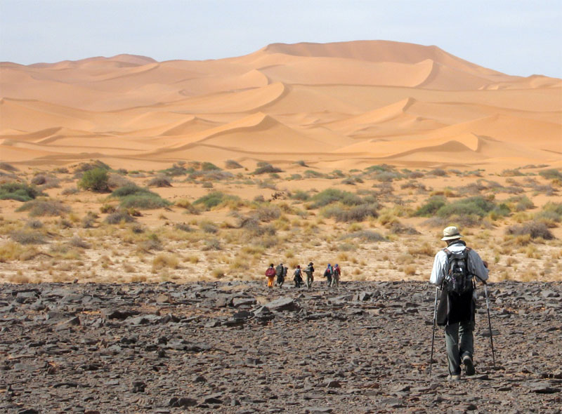
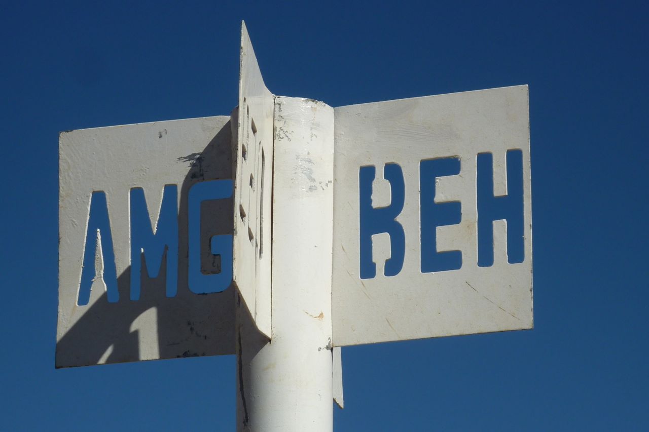
In November 2007 I joined a recce organised by Amelia Stewart Travel and Tanezrouft Voyages. Over 11 days we walked about 200kms from south of Arak through the northeastern Immidir to the Amguid Crater and the Bou Zerafa dunes beyond.
In January 2009 I led Amelia Stewart Travel’s first tour: photo report here. And there’s a slide show from the 2010 tour here
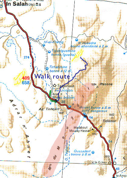
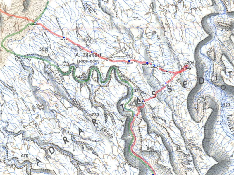
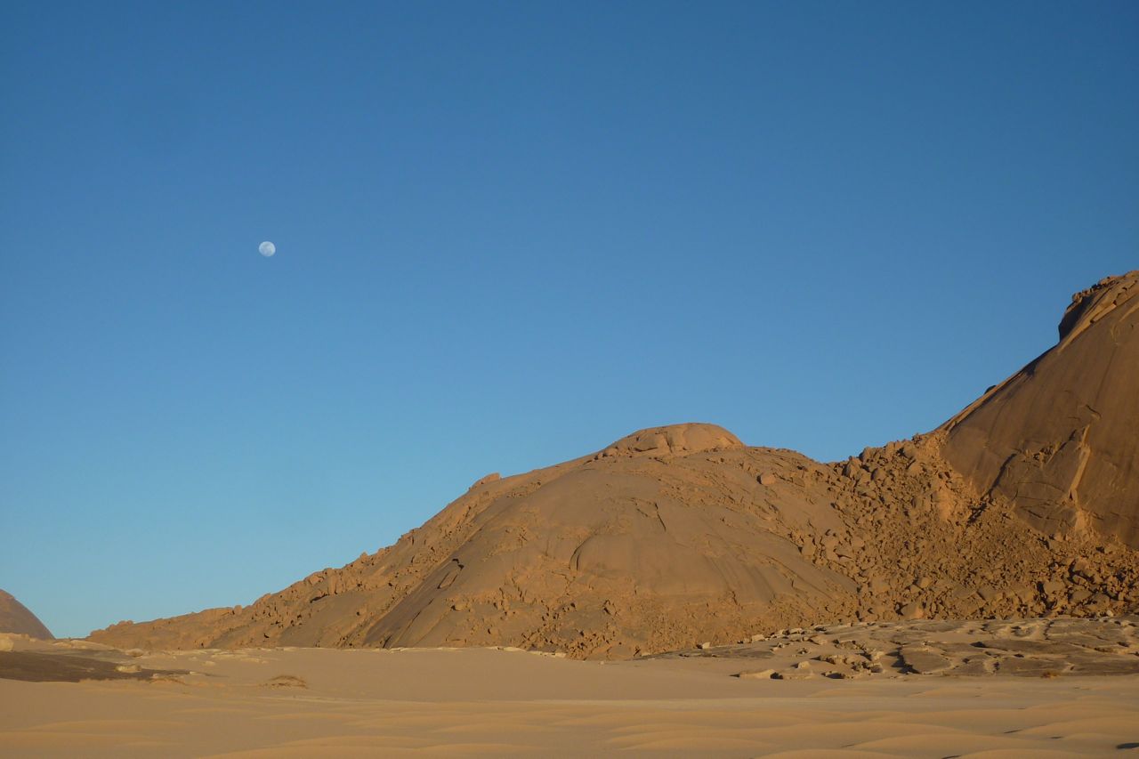
The Immidir, aka the ‘Monts du Mouydir’ on the Mich map, left, is a region of plateaux, escarpments and canyons that spread north and east of the Arak Gorge on the Trans-Sahara Highway.
To the south are the lovely exfoliated granite domes around Tidikmar and Moulay Lahcen which we visited in 2005, and to the north and west of the TSH are a number of low plateaux, sand sheets and small ergs making up the Adrar Ahnet.
A few groups have followed part of our route through the Immidir before, and I know of a few others who’ve approached the crater from the Tin Habedra piste by car, and walked the last 10-20 kms, but no one combined both. It was an idea I’d proposed to Amelia Stewart Travel. She liked it, found some people and here we were.
Right now in 2026, the Immidir has been closed for many years, as Algerian authorities seek to limit the infinite range of locales accessible to tourists across it’s vast southern provinces.

After arriving at In Salah, we drove south 300kms along the Trans Sahara Highway to this valley a few kms beyond Arak settlement. The camels and crew had been waiting a couple of days. Next morning we set off north up the Ighaghar valley in the middle left of the picture.
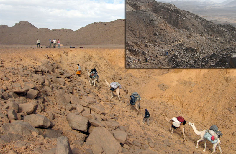
The first few days with a south wind were hot and at times the terrain proved to be tougher for the camels than I expected. On Day 1 a few camels stumbled and lost their loads getting to the top of the Taflout Pass pictured above.
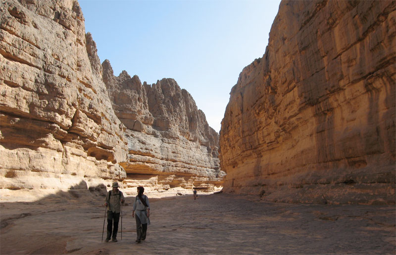
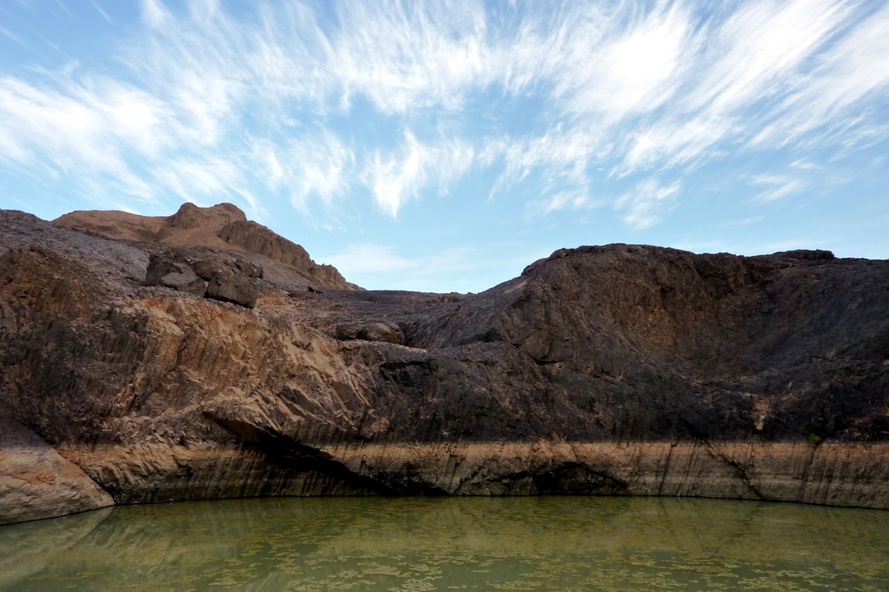
By the next day we had a morning wandering through the cool box canyons and welcome gueltas or aguelmam for which the Immidir is well known. This place is just behind the Arak Gorge.
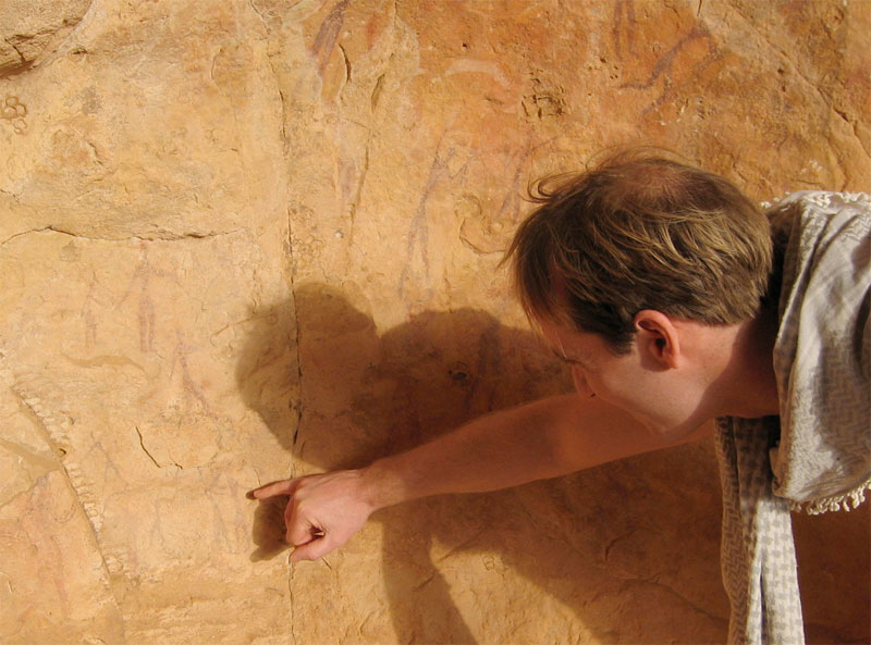
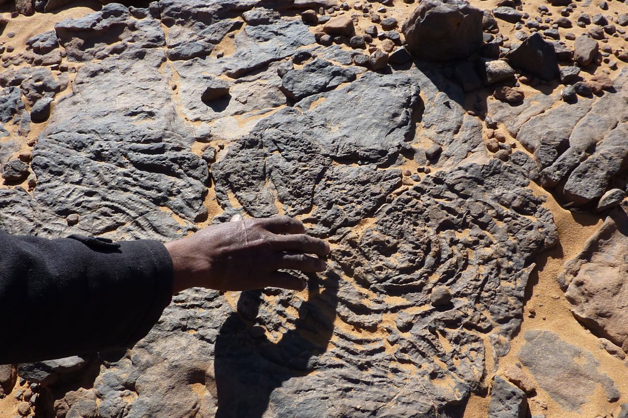
Although there was rock art to be found, what we saw wasn’t a patch on the quality and density of the famous Ajjer plateau above Djanet, Libya’s Akakus or the Gilf and Jebel Uweinat (Egypt/Sudan).
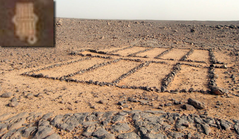
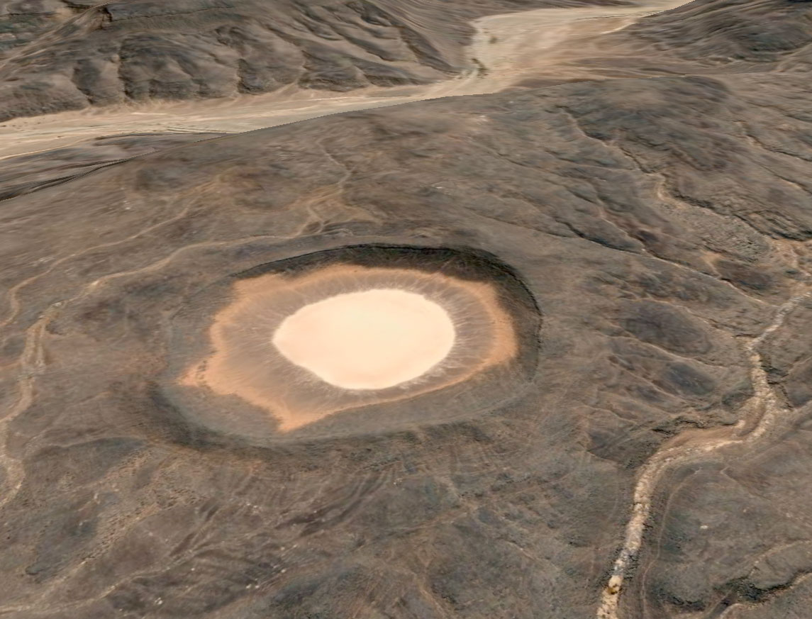
Most days we came across a desert mosque of some sort, although I’ve never seen the ‘pewed’ examples we found in the Immidir. The inset shows a similar structure viewed from Google Earth at Aguelman Rahla guelta, 13kms directly north of the crater at the mouth of Oued Tafrakrek (see Google image below). Google Earth shows the permanent guelta surrounded by pre-islamic tombs (including the less common keyhole type) which suggests that like many Sahara oueds, the place has long been inhabited.
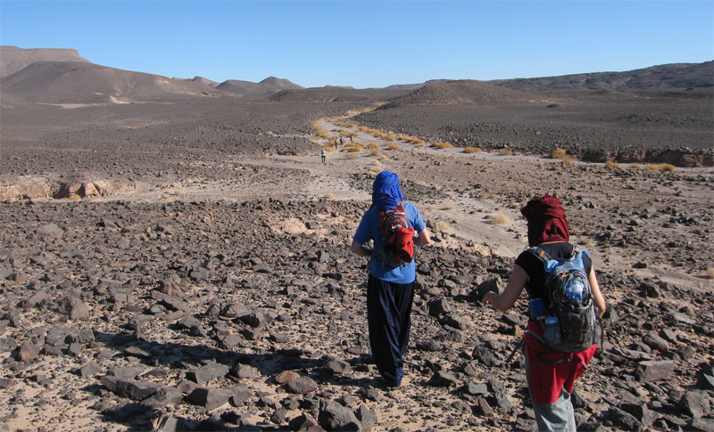
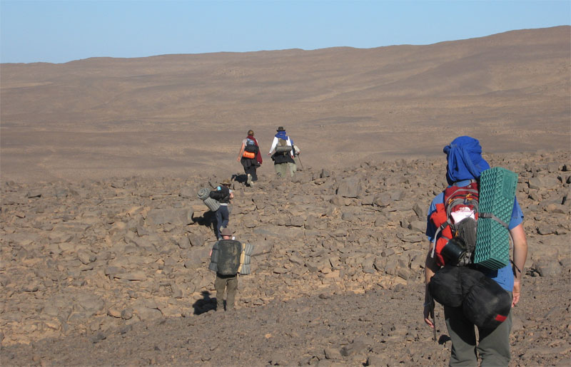
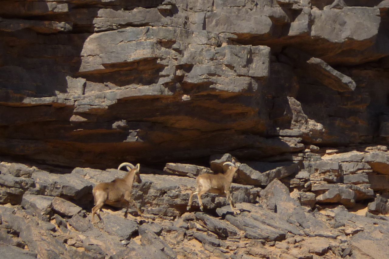
What tracks there were were old camel pistes across the hammada. Rubble like this was tough on boots and feet; most of us got blisters. Even the camels needed treating for cuts and one night the guides made them some hide socks. Some days the camel caravan took alternative, easier routes. Daily distances varied between 14 and 24kms. By the end we didn’t even notice a 14-km morning. The route is inaccessible to vehicles, but we passed plenty of mouflon, jackal, gazelle and fennec trails and once saw camel tracks other than our own. On a later tour we even saw cheetah tracks which are said to inhabit the area.
This was a nice day; about 24 clicks round the back of the guelta below, over a ridge where one camel collapsed and needed unpacking and a gentle kicking. Then round to the big oued above which fed the gorge pictured below and into a series of small valleys where I found an intact pot.
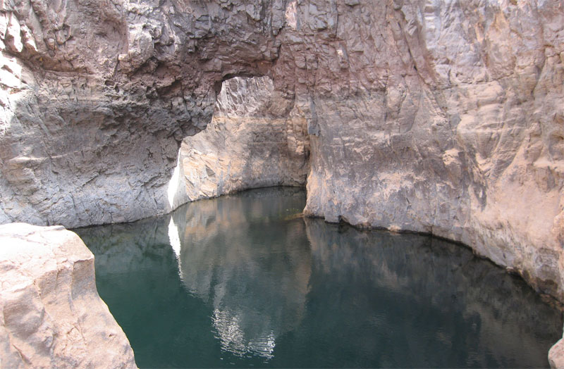
One lunch stop was by a deeply-carved gorge strung out with several waterholes (gueltas) and this arch.
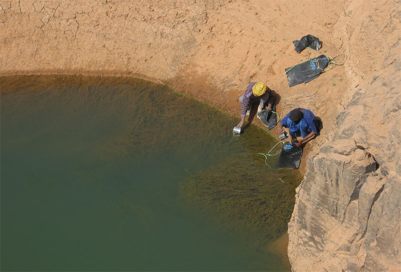
With no wells along the walking stage, the crew refilled from sources like this. People are put off by the green colour but of course what makes you ill you can’t see, even in crystal clear water. Being early in the cool season following the summer rains, the water was probably fresh enough and if the crew could drink it so ought I. As an experiment I drank some as it came but didn’t get ill.
Interestingly ‘flying’ over our route on Google Earth reveals the region awash with gueltas. The gorge above is almost one long pool, and elsewhere we or the camels would not have got through some valleys and gorges without swimming.
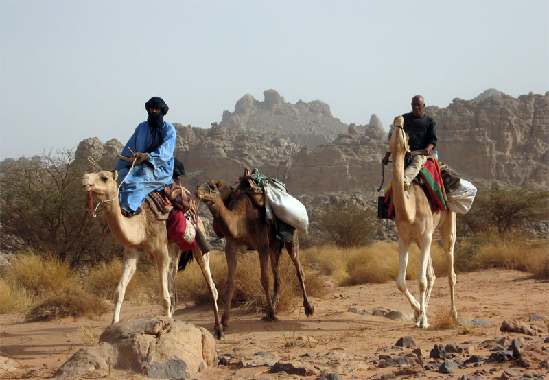
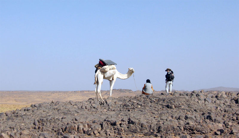
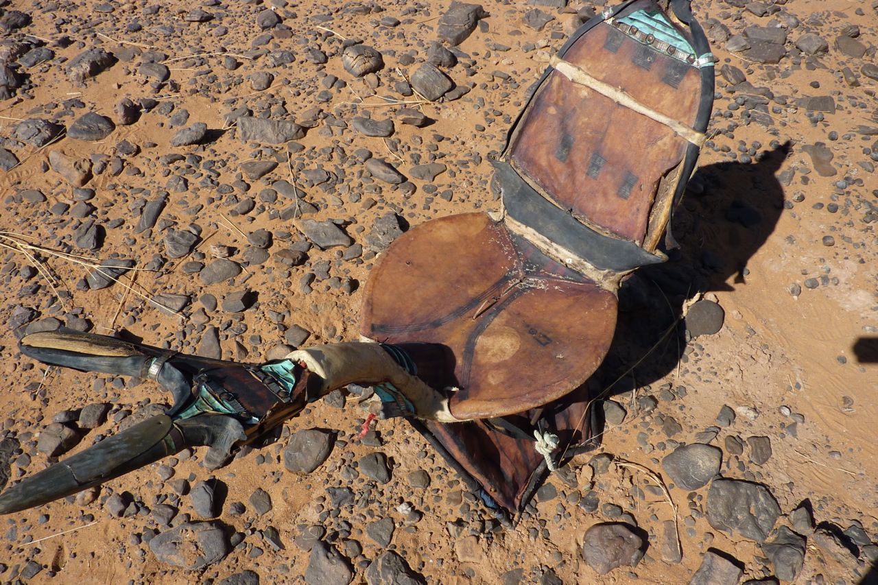
Mohamed H of Agence Tanezrouft and Sidi Ali our cook coming through. Sidi and the crew’s work started when we stopped walking for the day, and carried on until we set off before them next morning, so we didn’t resent them riding once in a while. We could too and those that did remarked what a relief it was to be able to look around at the scenery instead of dodging the next rock underfoot. But the wooden saddles are hard on the butt.
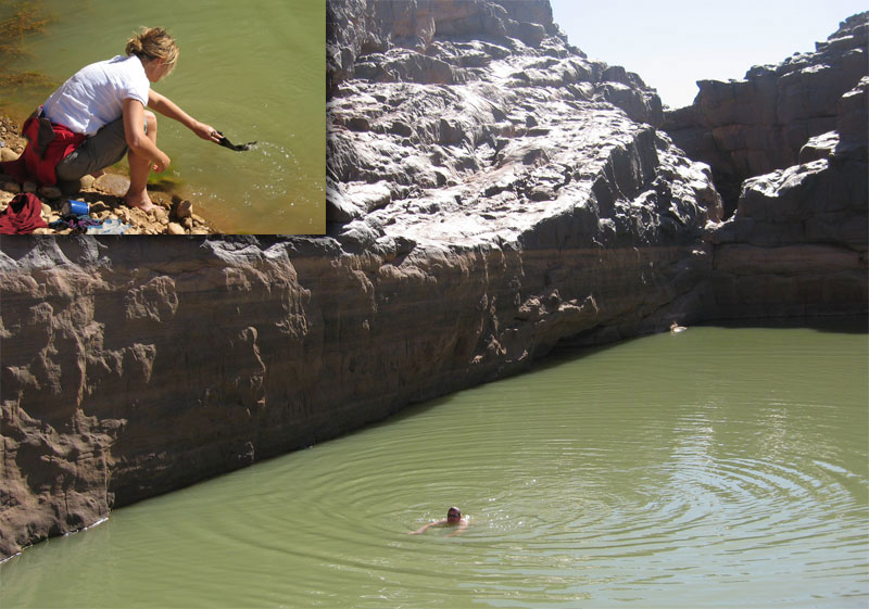
After a while it didn’t take much hesitation for us to grab a quick wash or launder at any guelta we came across, or even dive in for a swim. Like all tassilis, the Immidir has countless gueltas which make it suited to camel trekking. You can see from the ‘tide lines’ how deep this one fills after heavy rains.
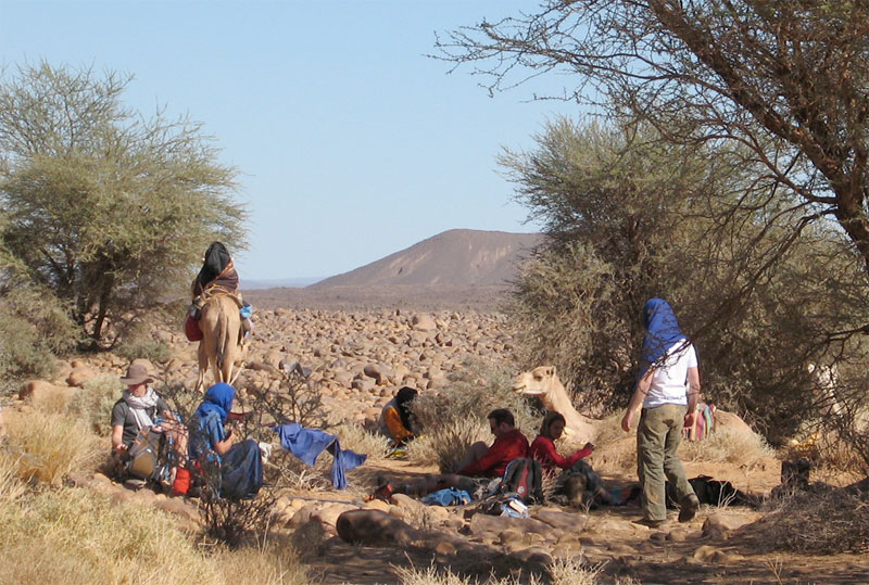
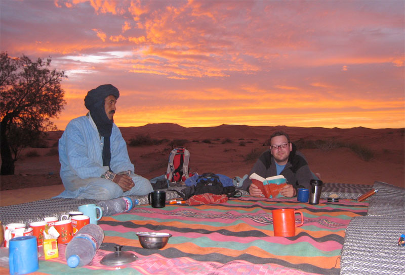
Some shade always cropped up around lunchtime or ‘midi’. Usually we’d have to wait for Sidi Ali and his lunch camels to catch up. Then, while we siesta’d the main caravan might pass through and keep going, usually getting to our evening camp ahead of us.
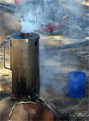
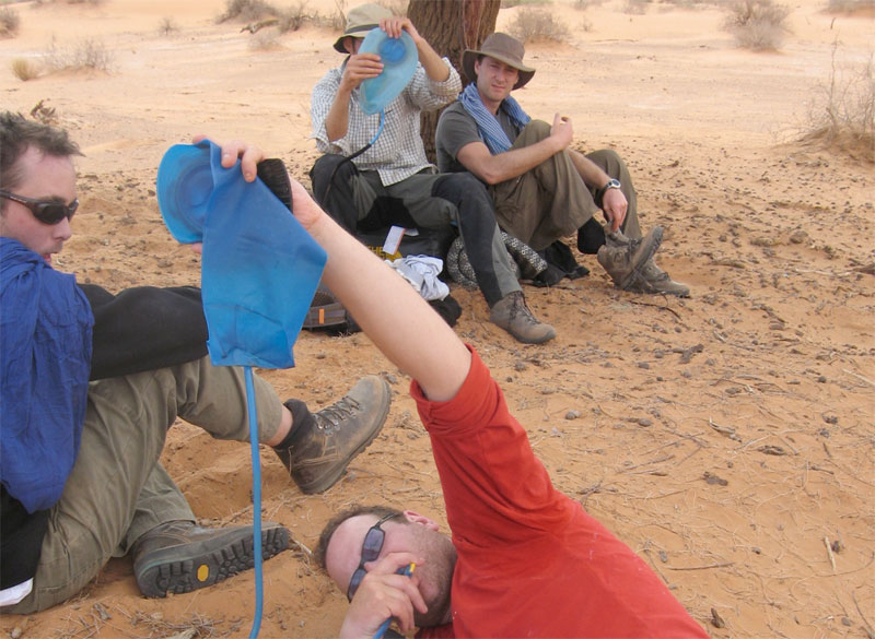
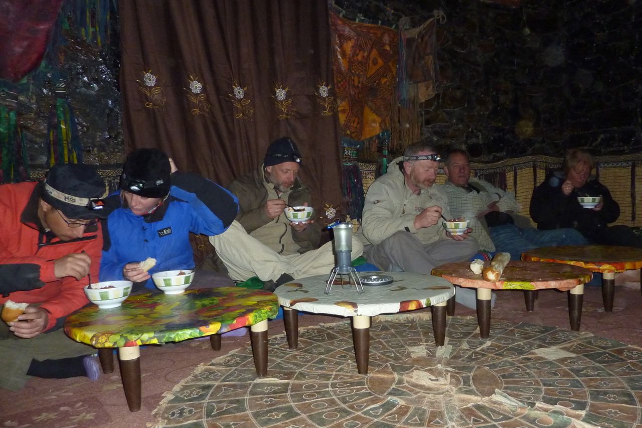
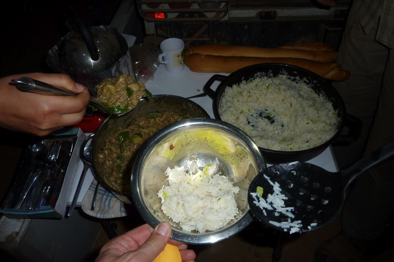
Food. Breakfast was light: coffee with hot milk and baguettes, sand bread or pancakes with jam and marg. We were sometimes given dates and a soft drink for the road. Lunch was a heap of mixed salad or veggie rice followed by mint tea and an orange while they lasted. We has more tea/coffee and biscuits soon after we stopped walking for the day. Dinner was soup and bread, a main course of cous cous/rice/pasta and stew – all variations on dried goat meat followed by an orange and mint tea. Most of us brought some sort of snacks and I brought my v-kettle (right) with drinks/soups which came in handy while waiting for the lunch camel to turn up.
Although I ate much less then I normally do, I eat too much anyway and saw the trek as a bit of a detox. I lost about half a stone but was never hungry. The daily ritual of walking, sleeping, chatting, eating and resting was very satisfying; as always the desert demonstrates how little you need to be content.
I carried about 2.5 litres of water per day in a Camelbak (bigger than most) and never ran out. On the earlier hotter days at about 30°C I got through 2L, later in the low 20s it was about a litre. About the same as summer in England.
Come the big day the chattering subsided but we were still smiling when we got to the top of this gnaaarly climb, having unnecessarily gone up and down another ridge (see map below). With us we carried overnight gear, a bit of food and -no surprise to me having done these sort of walks before – not enough water. At the top of the climb we got our first sight of the Bou Zerafa dunefield 20 kms to the north and from this picture overlooking the camel route below the crater was only about 6km to the east.
Before we set off from Arak I didn’t have a clue which way our guide Yahia was going to reach Bou Zerafa other than north some way. A map didn’t mean much to him so there was little point asking or pointing and Tamachek names don’t always match the map’s Arabic. I presume then it was a total fluke when his route led far to the east below the Adrar Tassedit escarpment before turning north up the Oued Bou Zerafa – or Oued Tassedit as they called it. It could not have passed closer to the crater site.
So east we went. The broken terrain reminded me of a mild version of Ginge Fullen’s attempt to climb Bittu Bitti, Libya’s highest peak (see p.377 in the Sahara book). Between us and the horizon where the crater surely lay were any number of chasms, clefts and gorges. Near this point we passed the 150-km mark which put the crater at nearly 100 miles from our departure point near Arak.
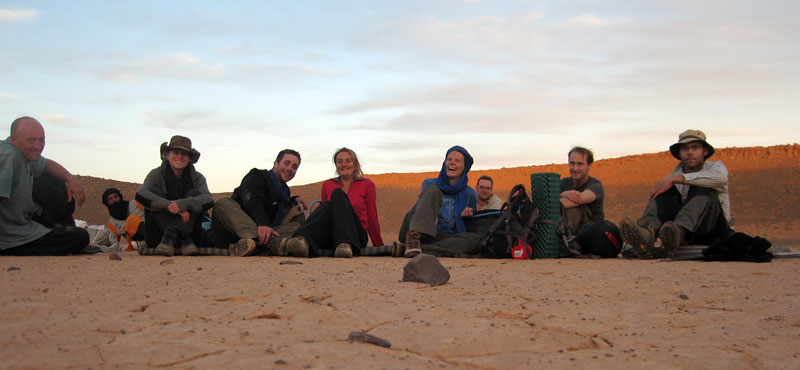
Just on sunset and having covered 7 tough kms in 3.5 hours, we sat ourselves down in the middle of the crater pan. Not sure what we’re all laughing about; we each have less than a litre of water left so tomorrow was going to be a bit of a march but our goal had been accomplished.
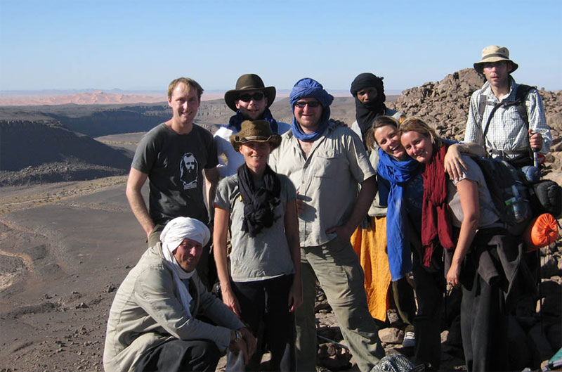
From the left: me, Yahia the guide, Francoise, Jon the photographer, Imogen, Amelia, Bob, Amelia’s parner Lex who tracked the whole route on GPS and Tom.
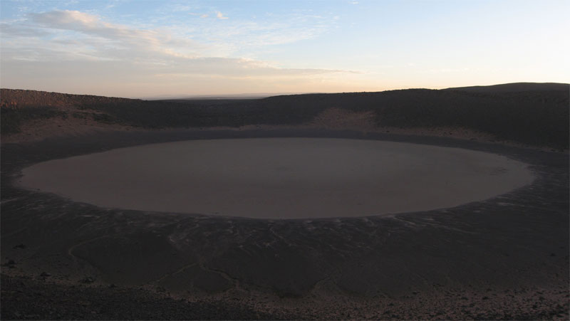
The crater is thought to have been formed less than 100,000 years ago with the first recorded visit by a French geologist in 1969. For us it would have been nice to explore it in sunlight and I’d also hoped to take a hike over to the Oued Tafrakrek rim a couple of clicks to the east.
But having chatted with Mohamed on the sat phone, Yahia explained to us the camels were already heading for the dunes so to intercept them we had a longer cross-country walk the next day. I went to sleep thirsty, woke up thirsty and at first light decided to drink my last cupful while others chose to save a few drops for the hike. To make the most of the cool morning we climbed out of the crater at first light and set off northwest to the dunes.
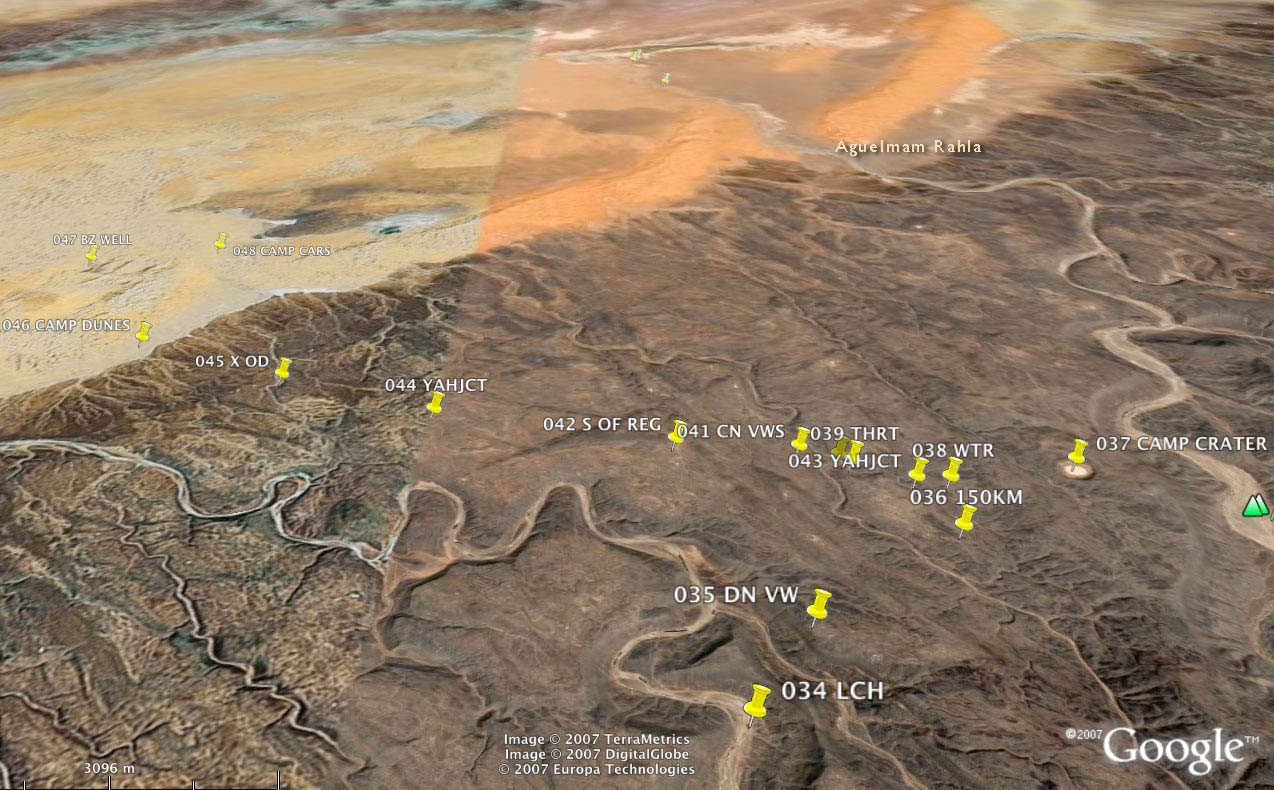
Here’s part of our route in red over the Adrar Tassedit plateau 8 days after leaving Arak. After lunch (009 LCH if you have bionic eyes) and repacking our gear we left the caravan trail in green, crossed a needless ridge (below the ‘A’ and then climbed back onto the plateau (‘009 DN VW’; the group shot 4 pics above) and then went up and down past ‘009 150KM’ to the crater at ‘706’. The map above is about 15 miles/25kms wide.
Although we were unsure to put our trust in Yahia as he’d never been here either, next day he led us to the dunes where our camels were waiting. Knowing water was scarce he lured us on, keeping just out of reach so there was no discussion about which way to go. As the return route and waypoints show, his Tuareg ‘GPS’ was spot on. Apart from the easily-remedied water issues our route to the crater was as good as could be expected.
In 2009 we started at dawn at ‘557’ a bit to the north of our lunch spot, above the meander of the ‘T’ on the map. We climbed up the valley side with a bit of scrambling and had a much easier 2.5hr/6km each way walk to the crater. Next day we followed the green route along the canyon to the dunes and beyond, probably 30km but no one noticed by now.
With some (myself included) a bit more parched than others (notably the women), we finally staggered off the plateau and onto the sands some 6 hours and 16 kms from the crater – much further than we imagined and having drunk no- or just a couple of sips of water. Everyone had quietly focused on the task. Luckily it was another cool day and of course we knew the crew was out there somewhere with water.
Once on the sands some desperados cracked and drained the last gritty dregs from their hydrators while Yahia dashed off to track down the caravan out in the sands. A few minutes later Mohamed came galloping in with some water.
We spent the rest of the day idling about and drinking everything they brought us. That evening, while contemplating the transit of Orion and Copernicus’ theory that meteorites never strike in the same place twice, a shooting star tore in low over the Tassedit plateau above the crater. With a bright green trail breaking up behind it, somewhere out there a new sprinkling of space debris had scattered itself across the desert floor. As we discussed the startling phenomenon a sonic ‘b-boom’ rippled over the sands, suggesting a meteorite had indeed breached the atmosphere. Someone knew the speed of sound and estimating the time after the sighting, Tom worked out it had fallen about 50 miles away, well beyond the crater. With this suitably astral climax to our crater day, Copernicus was proved right – again.
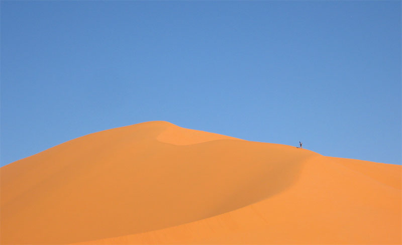
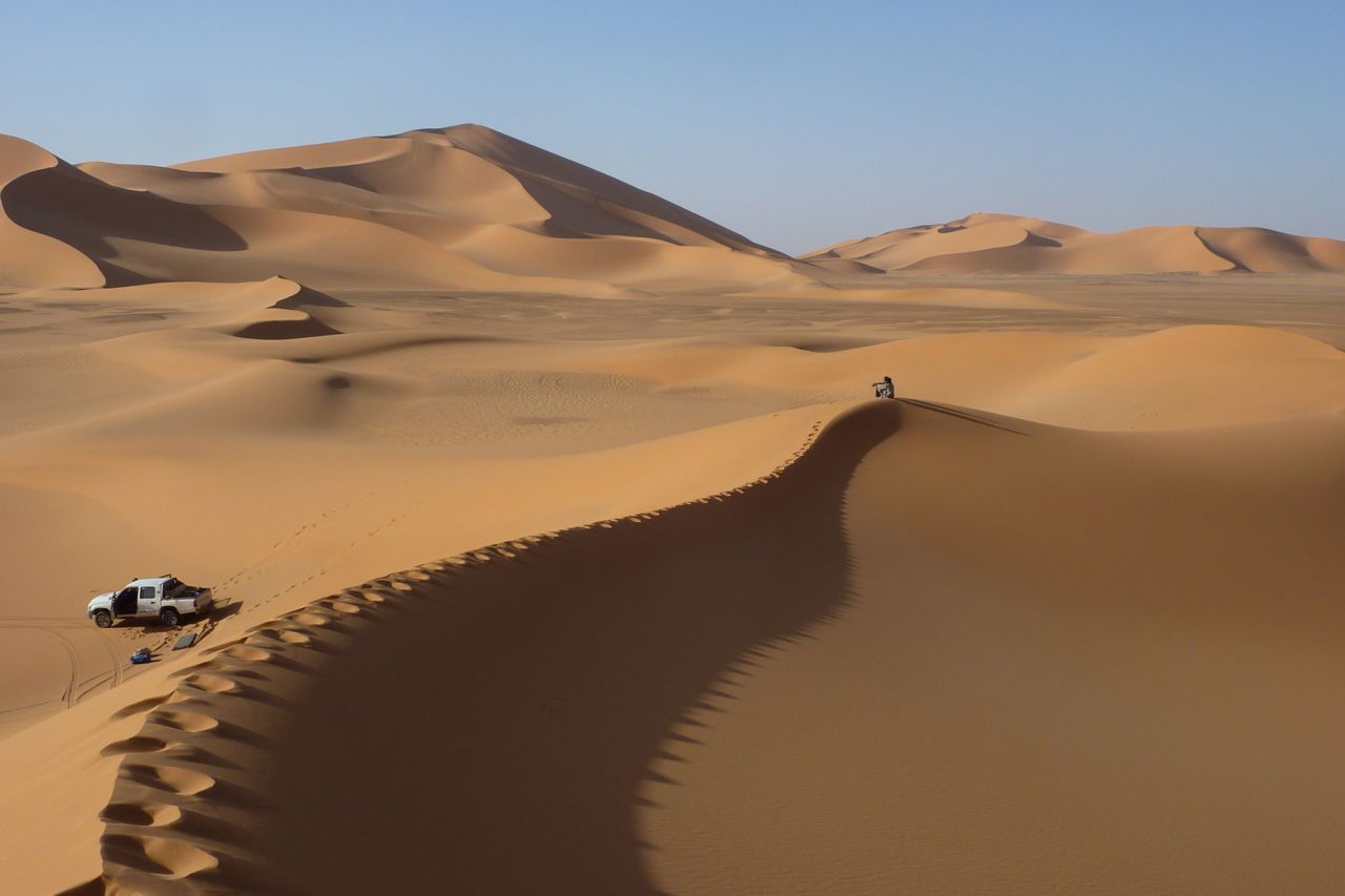
Next day we headed into the dunes for some exercise. Some took the high road…
… some took the low. We passed Bou Zerafa well marked on the maps. It was sanded over but Yahia assured us there was water a metre below. Winding up our 10-day rocky plateau trek in the glowing orange sands of an erg was perfect – another highlight after the crater.
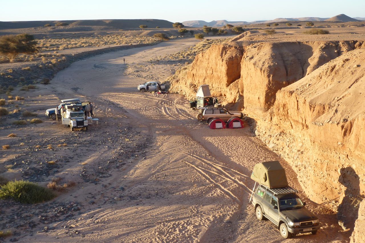
Next morning the cars turned up from In Salah with fresh food and water. At this point my camera passed out but we carried on northeast alongside a dune ridge to one more camp (passing some lovely pestle-like moules to go with the countless grinders lying around). Another short morning followed to knock off ‘200kms’ according to Lex’s GPS tracking, right by an unmarked well with good water.
We drove from there northwest to Tin Habedra well (sanded in) and then directly west along the Habedra piste passing escarpments lined with tall cairns and small, palmy sources while chased by a storm front. It showered a bit that evening and most took to the tents for the first time as lightning flashes circled us along the horizon. Then at 2am a bolt exploded nearby and a heavy shower drenched the camp. The tents held off the worst of it but next morning by the time we’d got the fire lit most weren’t in the mood for the planned splash about at Tiguelmine guelta on the old Hoggar route. We headed directly back for In Salah, a great feast at Mohamed’s, a plane to Algiers and home.
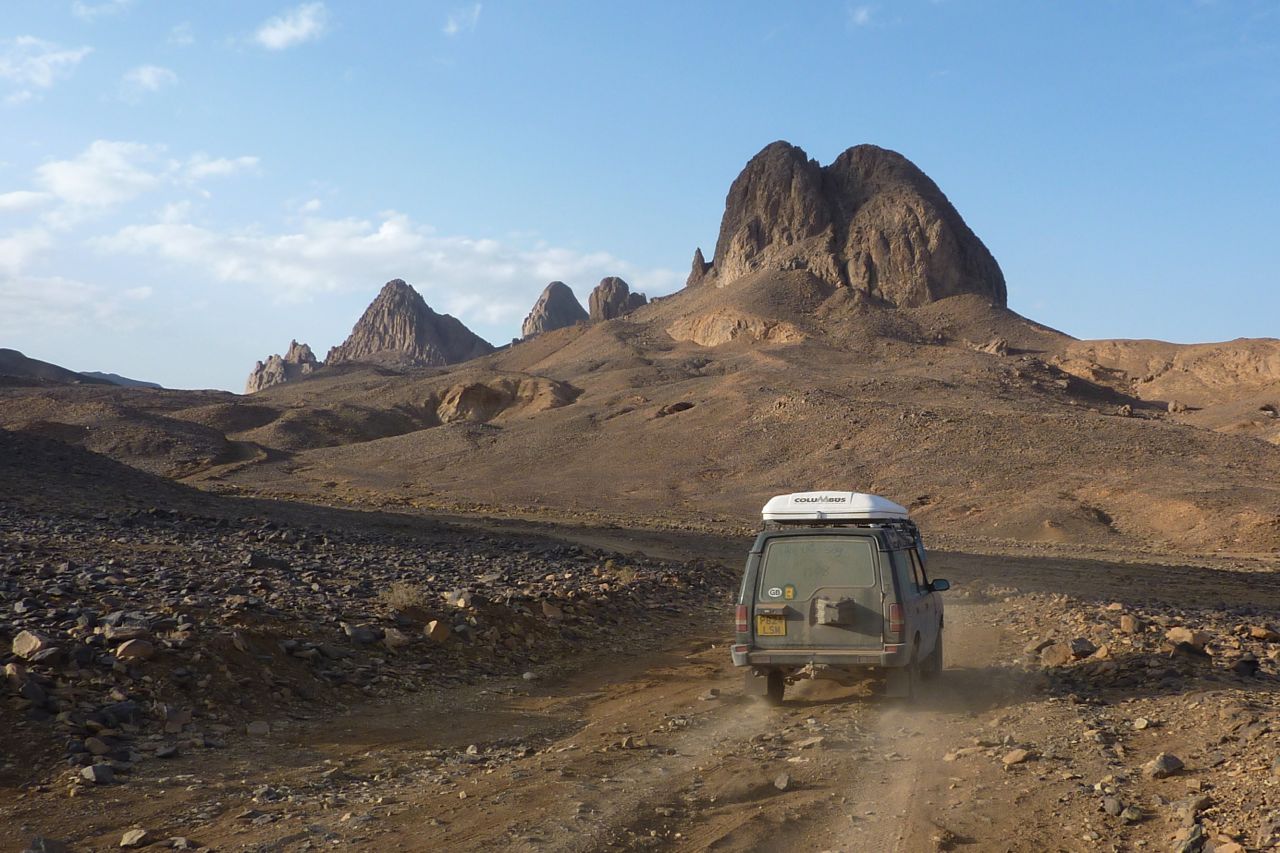
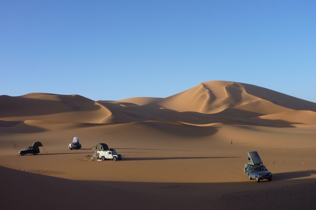
Algeria Ahnet 2011 4WD

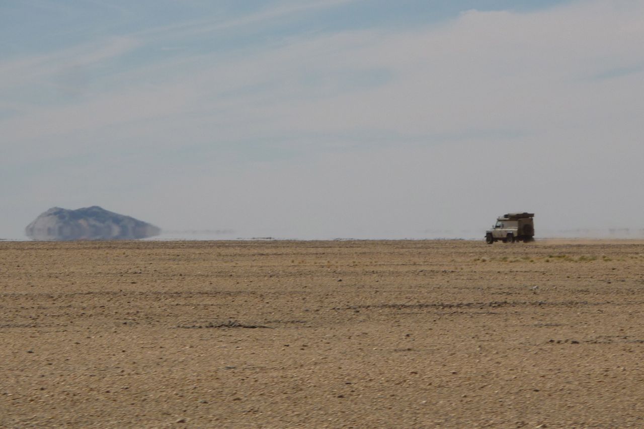
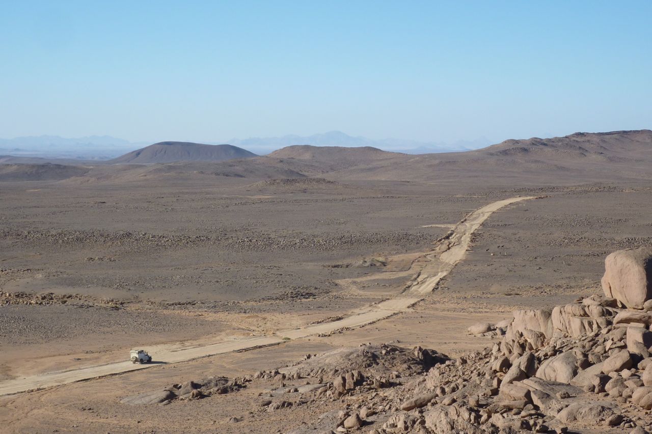
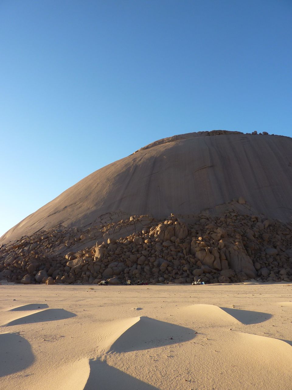
It’s only the middle-west side of Algeria that is widely open to unrestricted off-highway driving at the moment. Just as well as it coincided with my interest in that area, having done most of the canyon-bound routes in the Tassili N’Ajjer. Great though the Tassili is, the more open Ahnet and western Tefedest also have their attractions, primarily the granite monoliths and the surrounding glare of the white sands shed by those rounded outcrops. You can pretty much point your car in any direction and drive to that place across a trackless, sugary sand sheet.
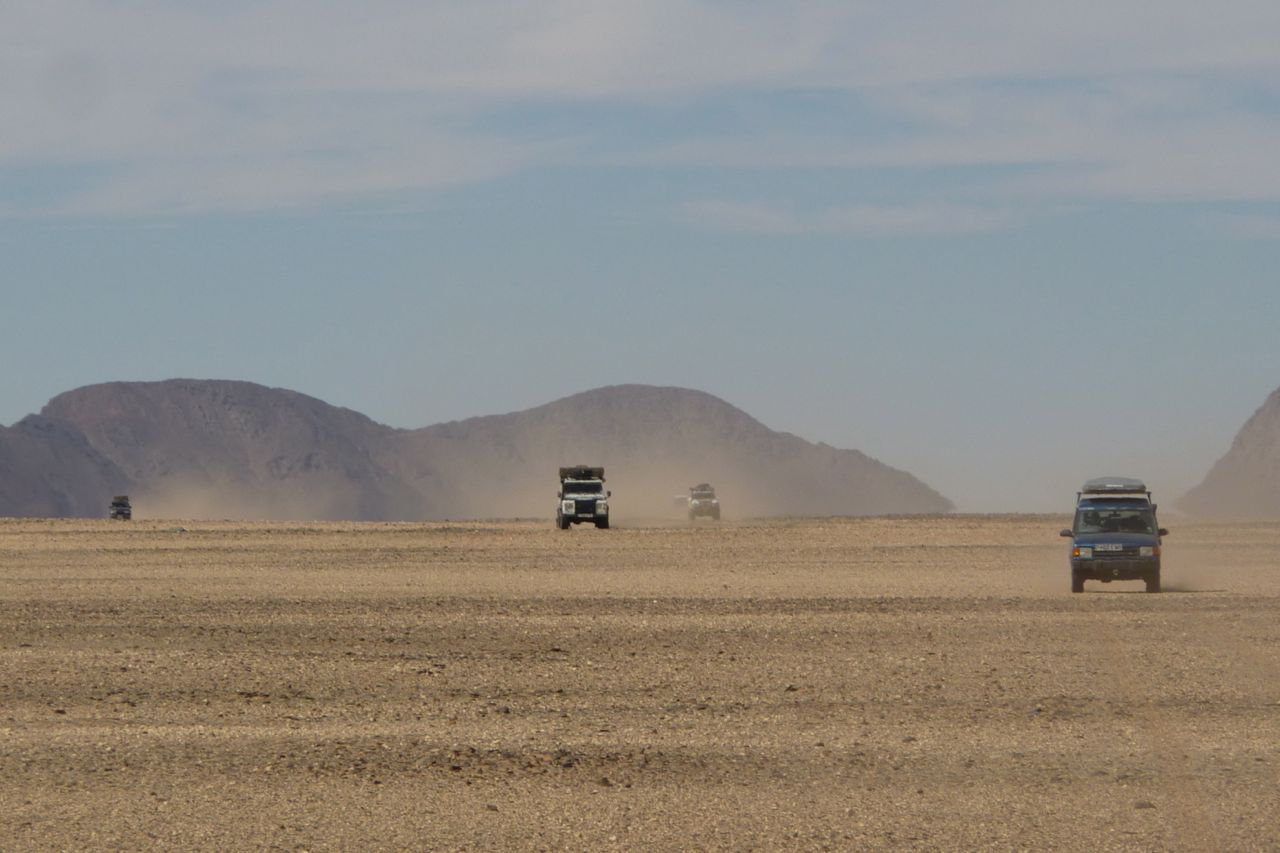
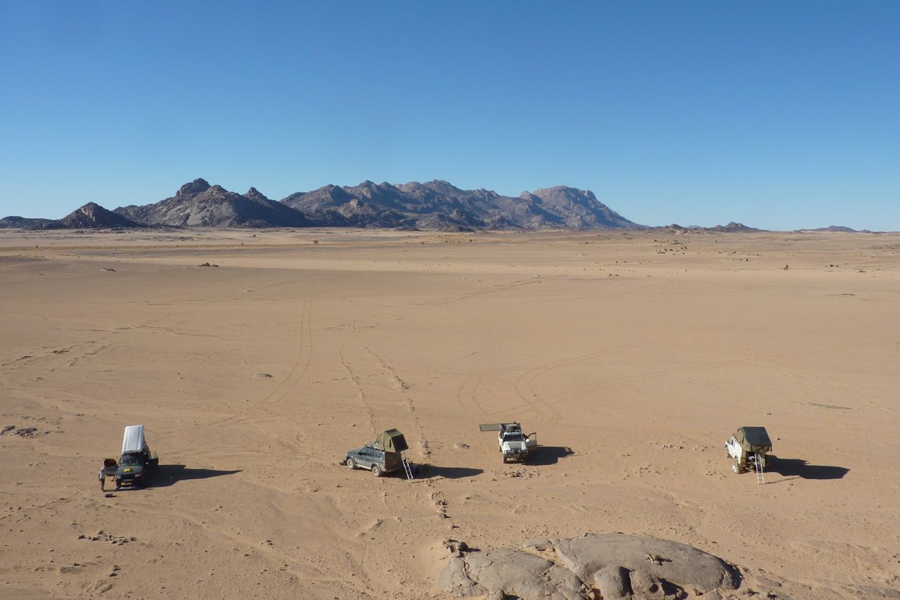
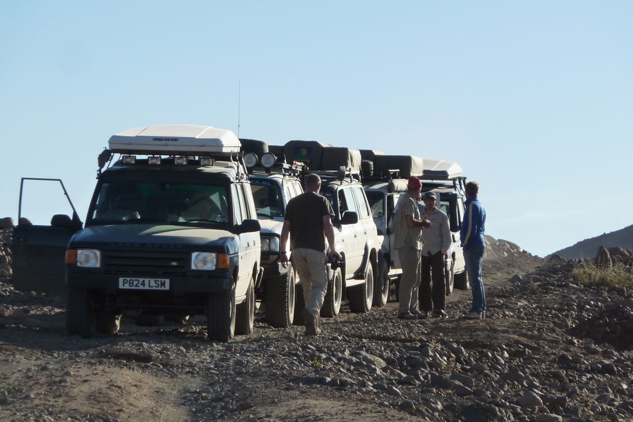
My group was composed of 7 Scottish off-roaders who’d done a self-organised trip in Libya as well as the usual Morocco. The fifth car was a Dutch guy and mate who were going to come on a similar tour I’d pulled a year earlier in what was probably an over-reaction to security worries at that time. Now, things aren’t looking so good in southern Algeria while the Maghreb goes through political upheavals.

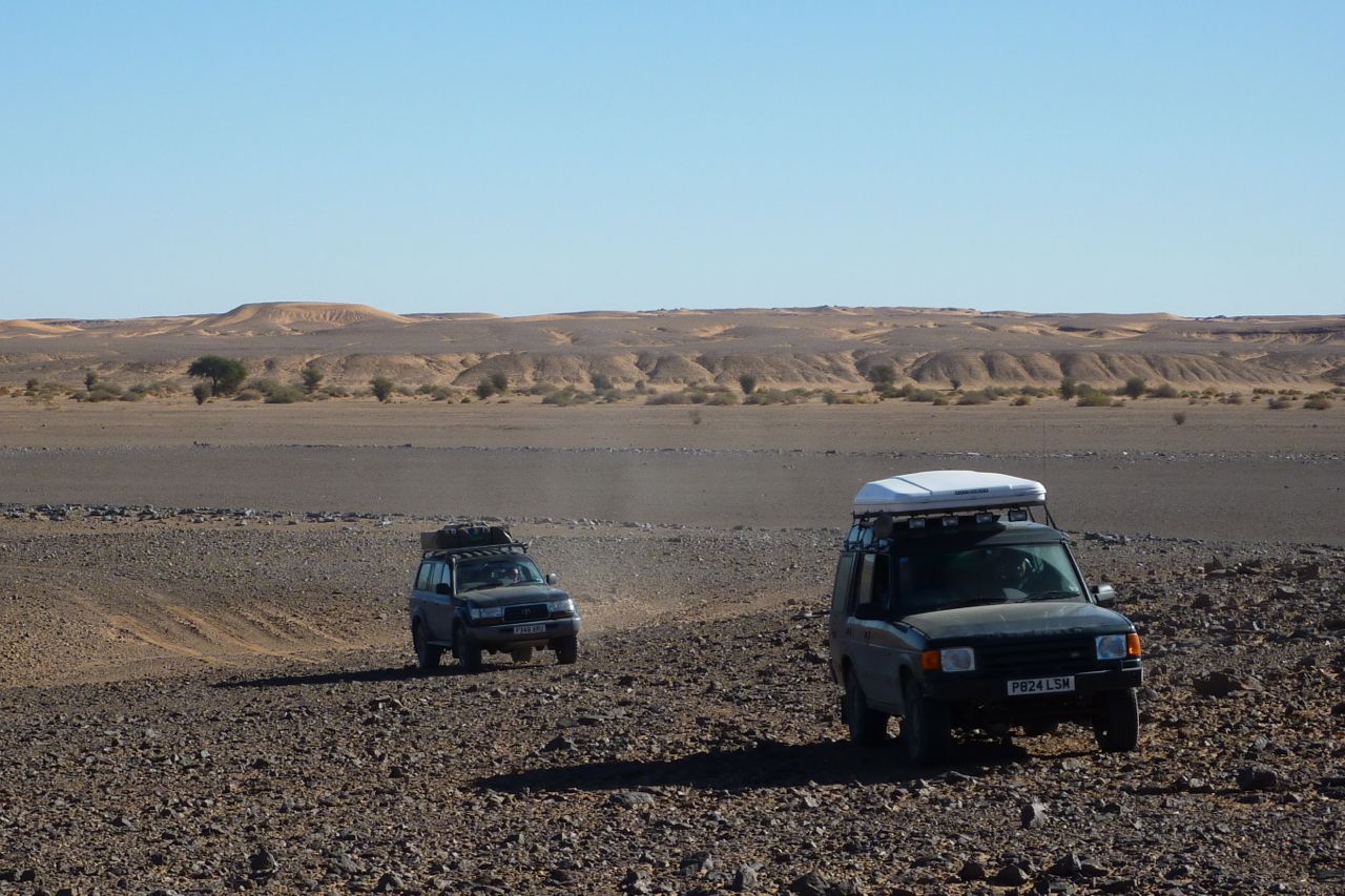
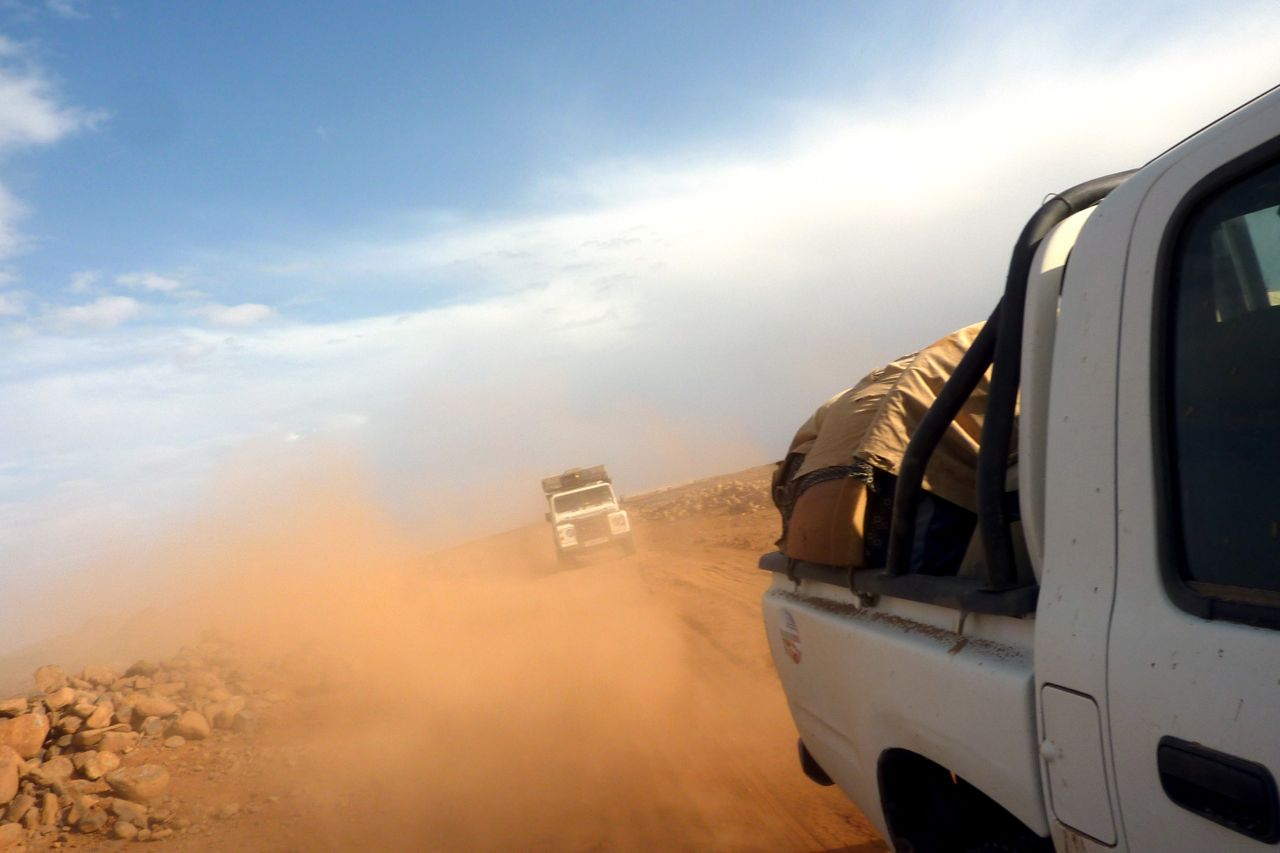
A different last-minute panic this time: big changes in obtaining Algerian visas in London (full details here). Luckily the guy there recognised me from previous years so I got our visas in days rather than weeks and the passports got delivered to the Brit contingent as they headed for the Eurotunnel while I lay in a bed with an ear infection, throwing up, dizzy and unable to walk straight. A week later it had mostly cleared and I caught to group up in Adrar, four days in, flying in over the Grand Erg – you would not want to drive in there. On this trip I was sitting in the agency escort’s Hilux. There’s an 8-minute movie above, a gallery at the bottom of the page and a write up in the July 2011 issue of 4×4 magazine.

ORAN FERRY
I wanted to try the Oran crossing as an alternative to petty shake downs in Tunis, slow processing in Algiers and high prices on both routes. Of course you pay more in fuel to get down to Alicante, but my route in Algeria was down the west side through Taghit, Timimoun and Adrar; so it seemed worthwhile.The El Djazair II ferry works out around £700 for 2 people in an en suite first class cabin with dinner and breakfast included, and driving a <2.3-metre high 4×4. The ferry is comparable with any sub-Carthage ferry serving Tunis or Algiers. It leaves Alicante 7pm 2-3 times a week and returns from Oran at 6pm. Of course you can count on it leaving from 2 to 5 hours late, but on both stages it arrived on time about 7am.
Oran is about the size of Ceuta and once there, it’s a police form per person and one for the car, a TVIP, customs declaration, money exchange (10eu = 1 dinar official) and insurance – 3000d for a month. All listed here. On the way back they asked about diesel but those with up to 4 jerries got away with it. Either play dumb or say it’s only 60L, no big deal. In Alicante a token bag per car was put through a scanner but there was no jerry grief. In both directions we were the only 4×4 tourists on a half-full boat of Algerians.

NORTH ALGERIA
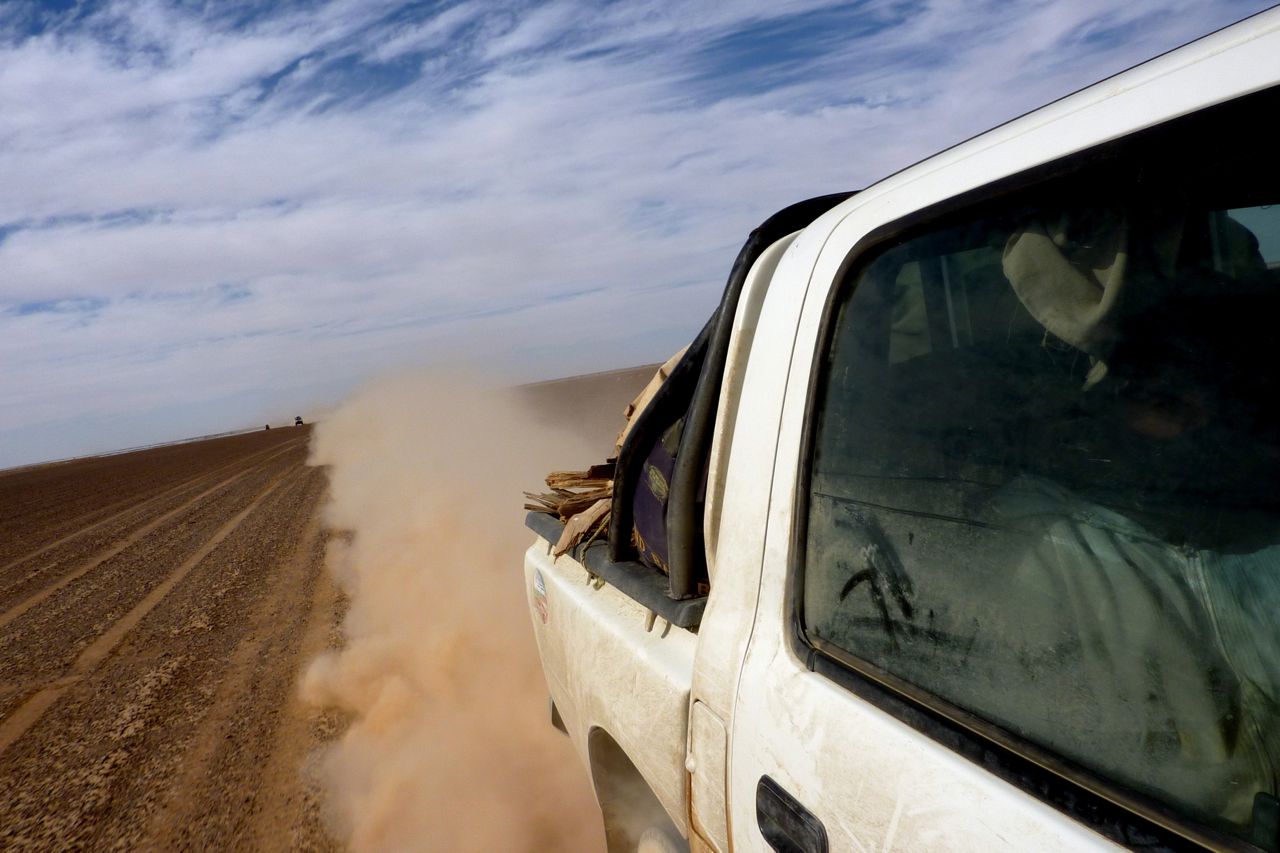
Calais to Alicante is 1000 miles; it’s the same distance from Oran to In Salah before you can get on the piste. The Tanezrouft agency car was 2 hours late arriving in Oran and without me there to reassure the police and so on, the group speculated that this delay may have given the police the idea that they needed an escort. Then again, there had been rioting in Oran a few weeks earlier and perhaps as a result of the whole North African situation, the group ended up with escorts all the way to Adrar where I caught up with them. And on that day the news of the Italian woman’s kidnapping hit the local papers which made things worse.
On the way down the group stayed in Saida (rough hotel) then late to Taghit camping, short village tour next morning then slow gendarmerie green & white (G&W) escort to Beni Abbes (overpriced hotel), then Timimoun camping, then very slow escort to Ardar where they met me for lunch, by now all thoroughly fed up with Algeria.
We carried on to Aoulef where we met Mohamed and our desert guide but were then told we had to go on to In Salah, another 160km, to get permission from the brigade to go into the desert. It was arriving in In Salah in the dark or camp by the Aoulef police station in the cold wind. Luckily Mohamed had a mate with an auberge for the night (see below).
I had heard that there were G&W escorts around Adrar with slow and frequent change overs, but to get led down 1000 miles from Oran for 5 days and told where to stay was not in the plan and was not helped by me not being there to at least try and manipulate things in our favour. Unfortunately the group never got over it.
Coming back, the plan was always TSH from In Salah up to Ghardaia (8+hr), town tour then off to Laghouat and back roads via Aflou to Tiaret overnight (6hr) for Oran next day (5hr). Plenty of checkpoints (CPs), and up north, plus more traffic and speed humps at each village make it slow, but it took 2.5 days with only a few awkward CPs requiring a stack of fiches.
My advice: use Oran port if you like, but stay clear of the Bechar-Adrar axis. Instead, take our return route from Oran via Tiaret to the TSH at Laghouat.
Driving through north Algeria is pretty grim or just agriculturally dull. Don’t kid yourself that the appeal of this country is anything other than the desert in the deep south, far from half-built towns swamped in their own rubbish.

ACCOMMODATION (that I used)
Algiers airport
Ibis hotel, £80 booked online from Expedia (same rate posted in reception). Free unmarked shuttle van for the 10-min drive to/form the airport. Room like anything in Europe for £50. Breakfast an extra 900d! The Mercure rates next door (same shuttle) are nearly double.
Aoulef. Unmarked auberge north end of town 26°58.568′ 1°05.159′
Walled compound, dorms, OK ablutions, 200d per car and about 200d? per person. Tidy enough.
Tamanrasset
Camping Dassine southeast end of town over the newly bridged oued. My usual place since 1982 and still a good spot. Plain, two-bed cabins are 1000d a night with nice breakfast next day in the salle. Car RTT camping 500d. Hot showers get hit and miss, sit down toilets and all clean enough. Good grocer 10 mins walk to town opposite a cheap cafe. Town itself is 25 mins walk. Traffic and parking is getting worse in central Tam.
Assekrem
Dorms at the auberge 600d pp. Toilets pretty good. No food to spare do we DIY’d. Tea and bikkies served at dawn from the monks up top.
In Salah
Camping Palmerie. The same place it was in the 80s but with 30 years of added neglect; a semi-derelict scrap heap for 300d pp or 1000d for a 2-child bedded a/c cell. Smelly toilets, junk all around, but the auberge in town is always full I’m told and the Hotel Tidikelt on the highway is 6-7000ds.
IS itself is not exactly Palm Springs; the only reason you’d stay here is that it’s hundreds of kms to anywhere else, the desert around is pretty exposed and Tanezrouft agency are based here, change drivers and may offer a free dinner.
Ghardaia
Hotel Atlantide in the town centre. 32°29.215′ 3°40.678′. A lovely old tiled joint from 1800ds or a bit more for en suites, all with TVs and heating. Small breakfast room plus plenty of restos on the street below. Secure garage parking 10 mins walk away for 100d a night (32°29.473′ 3°40.907‘).
Good unmarked resto leaving Ghardaia to the north at 32°31.501′ 3°40.237′ by a roundabout.
Tiaret
Hotel Bouazza (35°21.284′ 1°20.252′). Five storey, south end of town, can’t miss it. Single occupancy en suite with TV and wi-fi from 2020d. Resto dinner for 900d, breakfast buffet included and secure parking round the back. Probably the best value place we stayed in – almost normal but still with plumbing issues. Allow 4-5 hours for the 220km to Oran port.
OTHER PRICES
Diesel still 13.7d, petrol 22-25d. A one-way flight to Adrar with an overnight in Algiers cost about £320 booked a week before with Trailfinders. At the airport btw, I was not asked for my escort as I’ve been done before, and walked straight through. Exchange was 100 dinar to a euro, or 113d to a pound.
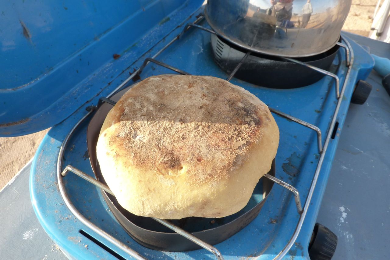
Despite the talk of riots over ‘food prices’ up north, they seemed much the same down south as a year or three ago. In Tam imported things can cost more than in Europe. Up north not so bad. Lots of fresh fruit and veg in In Salah market (oranges 70d a kilo), bread 10d (great bakery in In Salah with more than the usual baguettes). Interestingly with desert bread, sealed in a bag it just goes dry but never moulds like bread back home which ironically is full of ‘preservatives’. Desert bread can last for up to 5 days sealed in a roll top dry bag.
Meals: omelette frites with loubia (chick peas in sauce) plus drinks was <200d pp, roadside in Outoul. Chicken and chips 400d in a ‘workers’ café in Tam – all with bread. Same price for an evening meal in Tam with drinks and salad – and meat stew or chops with pasta or rice or potatoes in Ghardaia. Salad in Ghardaia 150d.
The Brits in my group were very enterprising with cooking and bought frozen chickens and meat to make great stews. We even had bruscetta one night with dry bread – as well as dry bread soaked in eggs (250d for a tray of 30) and fried for breakfast – a trick I picked up on the camel tours. A young goat bought from desert nomads was 3000d and lasted the guides a few days.
Internet. From In Salah south don’t bother. In Ghardaia it was 50d an hour of which at least 15 mins was waiting.
WEATHER
We had it all. The group had snow over the Atlas, then we had windy nights, days up to 30° and nights down to -2°, an all-day dust storm from In Ziza with viz down to 20m. There was a 10-minute dawn shower in Tam which did not quite clean the cars, and a howling gale up at Assekrem as well as pristine clear blue wind-free days. On the way back there was usual dust haze near Laghouat, more rain over the Atlas and a lot of wind in general. The guides said March and April were the worst months for winds.
WILDLIFE
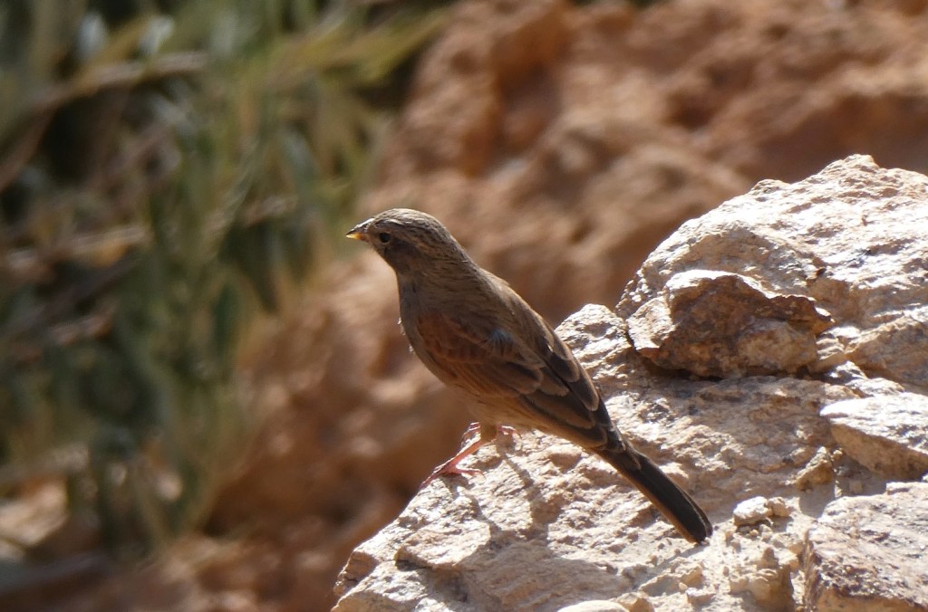
We spotted gazelles on at least three occasions up to four at a time. Then driving up one canyon in the Ahnet we came close on four mouflons. Two managed to dash vertically up the cliff side and the other two along it, giving me a chance to shoot some pics.
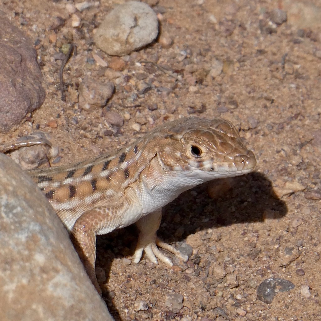
We also saw a few small lizards here and there, on another occasion one of the group came across a small snake and one night by a dry well was pierced by the howl of jackals.
The feral donkeys are still there in the Hoggar. There is a running joke in south Algeria right now that the Chinese pipeline builders are eating them all. lls mangez tout, tout! The drivers joked that they’d offer to fix up the Hirafok-Assekrem track for free just to get to the donkeys.
SECURITY & ESCORT EVASION
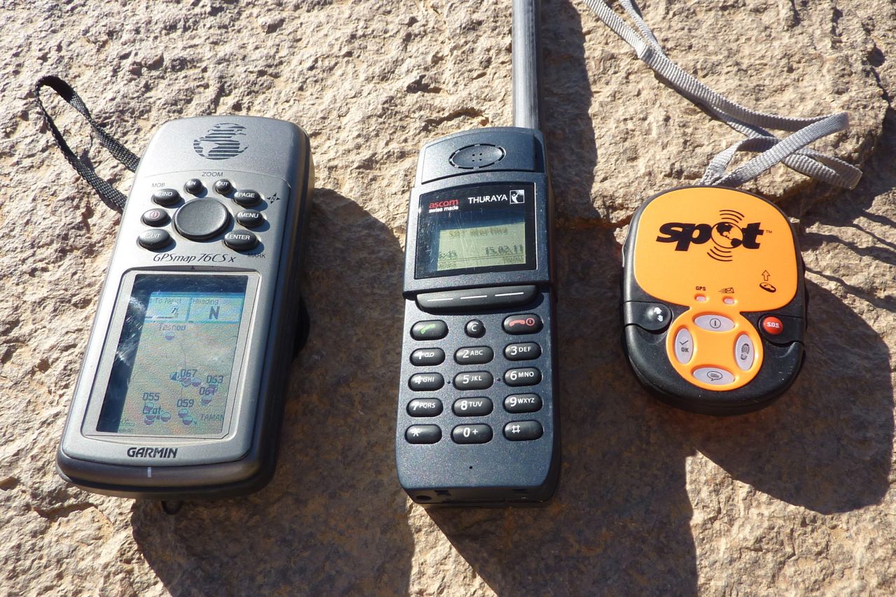
Recent events across North Africa including Algeria did not seem to make the police jumpy down south, but the announcement of the Italian kidnapping did not help us, especially as we were probably one of very few self-drive tourist groups in the country. I arrived on that day and most of the group seemed to appreciate it was a single event on the far side of a very big country. Our planned route through the Ahnet and western Tefedest was as good as it could be in terms of safety while following an unobvious itinerary. I had visions of sleeping with a SPOT and Thuraya in hand, but though kidnapping worries were soon forgotten, getting bogged down with more escorts and being told to stick to the highway would have ruined the tour.
In Aoulef we could not head into the Ahnet until we got permission from the brigade in In Salah. Another 2-hour escorted drive next morning, but at least IS was Tanezrouft agency’s home town with presumably good relations with the G&Ws and the Ahnet was their home turf. Eventually permission was granted without any conditions. G&W tourist escorts off road are unknown – these guys are not set up for desert camping and are more a highway and frontier patrol while police cover the towns and the army does the rest.
A week later, once back in mobile range at Abalessa I got a text that the kidnappers were after a group (of Italians) not a single person so we decided to spend only one night in Tam and walk- not drive around. As it was, arriving at lunchtime and leaving same time next day for Assekrem was enough to catch up on chores. Anyway, a grab in Tam would be pretty hard to pull off, packed as it is with various barracks and compounds and with choppers stationed at the airport. Doing the same south of Djanet – 10 times smaller than Tam – gives a fast run to the unmanned Niger border in 2 hours.
The same goes for the run up and down from Assekrem – predictable sure, but a hard place to set up an ambush unnoticed. And beyond the Hoggar we were making it up day by day and often off piste, so even if we’d been spotted we’d be hard to find.
Checking in with the brigade was required in either Ideles or In Amguel on the TSH. I chose In Amguel to save having the group wait for the guide to do Ideles. In retrospect maybe not a good decision as at least in Ideles we were far from the TSH and so could not be told to stay on it (though they may have asked where we were going which would have been awkward – I had an off piste stage in the western Tefedest lined up).
In In Amguel the driver was formally instructed to stay on the TSH all the way to In Salah (via Arak) but had his own ideas about that, and after a fill up and a staggered dash up the highway, he found a gap in the water pipeline (which limits entry points to the west) and we headed back into Ahnet for another great week, avoiding Arak. There were no consequences of doing this once we got to In Salah, so it seems the G&W brigades are not in serial contact with each other up the road; it’s just a commander playing it safe.
Back on the highway north of In Salah some police or G&W CPs let us though, some asked a few questions, some called someone for confirmation that we could proceed and some sour-faced jobsworths asked where was out escort. All wanted a copy of our fiche. The good thing was we were leaving the ‘dangerous desert’ so got away with it right the way into Oran which showed no signs of any post riot tension.
With fewer and fewer tourists heading to Algeria, the biggest restriction on self drivers is not so much the risk of kidnapping. As things stand now the danger areas are well known. It’s the possibility of escorts limiting you to highways, as well as further regional closures which could ruin your holiday. With a 1000-km range, a maze of routes can be followed in the relatively secure Ahnet for up to a week. and out here there is no one. Until AQIM start coming up deep from Mali, you’re safe from a chance grab and safe from the G&Ws too. My original route had us going down to Tim Missao and even Tin Rerhoh, but was pulled back months ago. Just as well, the piste to Bordj Moktar from Tam has recently proven to be no longer safe.
To reassure the group’s people back home I used aSpot Tracker on this trip, sending in locations twice daily which appeared on a password-protected Google Map as well as alerting selected contacts by email and SMS. Short version: it was unreliable in sending an SMS even when a location appeared on the map and it became inconsistent in even logging locations on the online map. If you need to reliably record a daily position with someone back home, just call them on a sat phone or mobile where possible, with a waypoint read off a GPS. With a Thuraya you can get a lat/long on the phone and forward it as an SMS. Of course this means work for someone at home to spread the word. The good thing with a SPOT is it’s easy to use and is automated – but it can’t be relied on. I go on more about it in this interesting discussion on GPS tracking devices.

ROUTE
See the big map up top for the off-highway stage. Basically we took a 1000-km run out of in Salah to Abalessa as far at 2°W and via in Ziza canyon, making it up with the help of the guide day by day and more or less as fuel and water required.
From Tam we went up to Assekrem (track missing on the big map) – piste in the usual condition – and down to Hirafok – piste in as good condition as it gets, with clearly defined deviations around the many wash outs. Hirafok to the TSH looks like it may be getting sealed as far as Ideles.
North of In Amguel we went back into Ahnet via, Tesnou, Assouf Melloul and the back of Erg Mehajebat. All great but undemanding off roading through some fantastic landscapes.
We only saw one other tourist car – a Swiss couple in Tam with a Santana who I’d met before in Algeria – and also travelling with Tanezrouft.
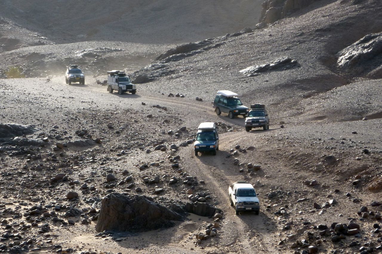
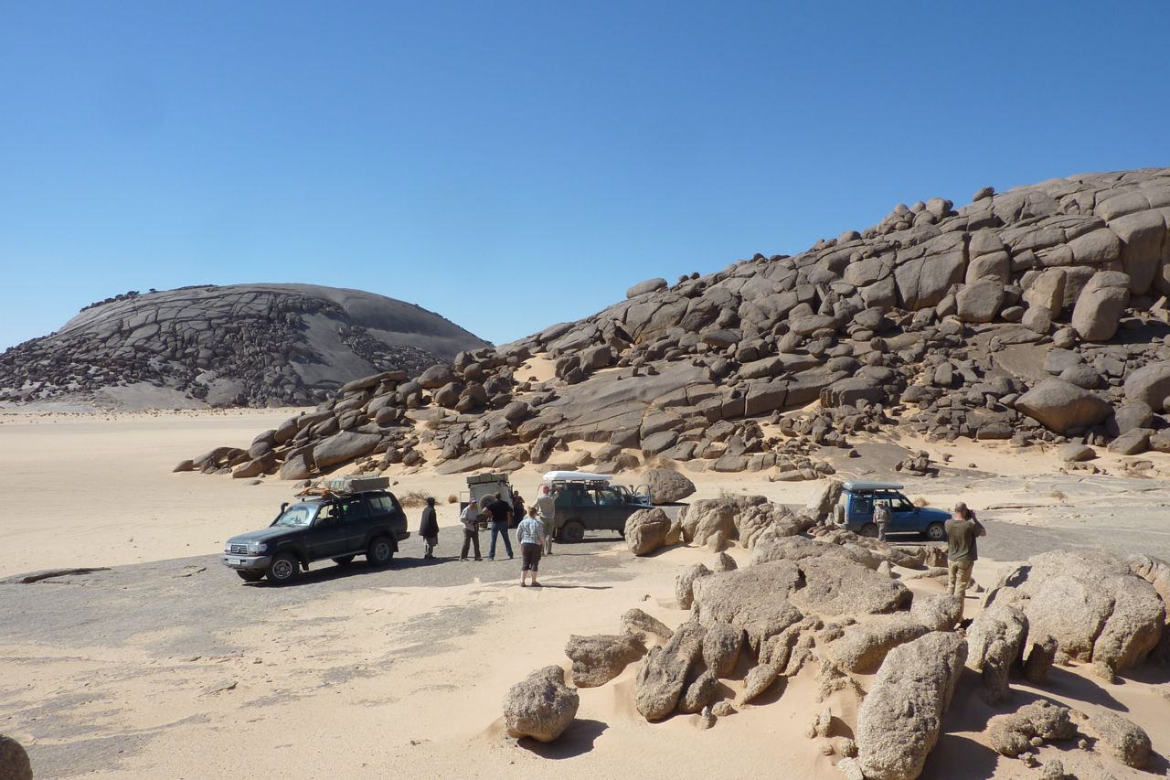
- VEHICLES (oldest first, all vehicles had high mileages)
- Early TLC 80 on big tyres and heavy bumpers, no RTT
- Discovery 1 manual (since sold for £400). Most economical with Colombus RTT
- Discovery 1 auto, Jap import, with Colombus RTT
- Late 24v TLC 80 with canvas RTT
- Suped-up Land Rover Td5 110 with canvas RTT
- Hilux 2.8D aspirated (2005). The agency car which I rode in.
No serious vehicle problems – a split PAS hose on the old 80 at Assekrem took a couple of hours to fix, mostly due to difficult access.
At Abalessa it was calculated that after some 950km the manual Discovery was the most economical at 7.8kpl/22.5mpg and the old TLC was worst at 5.2kpl/15mpg (pretty bad but as the driver expected). The other three were within 5 litres of each other at around 6.9kpl/20mpg. The Hilux was not measured but may have been more economical still, doing the trip on the tank plus 40 litres (100L in total? = 9.5kpl/27mpg).


