Author Archives: Chris S
Trans Sahara West to East

See also:
VW Kombis west-east 1983-4
January 2026

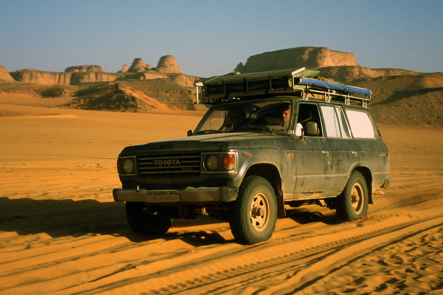
Half a century ago when the Sahara was more accessible, lateral crossings, all of them west to east, used to capture the imagination of adventurists, both private and corporate. Although such transits aren’t what it’s about to me, I wrote a box for the final edition of Sahara Overland about the four best-known vehicular transits which, broadly speaking, set out with this goal in mind, and expand on this page:
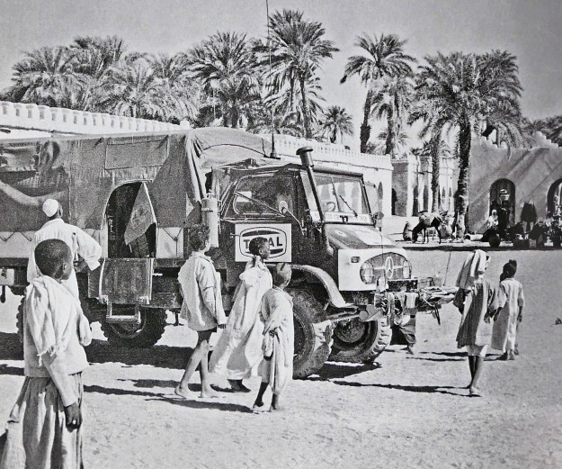
• Belgians – Unimog, 1964-5
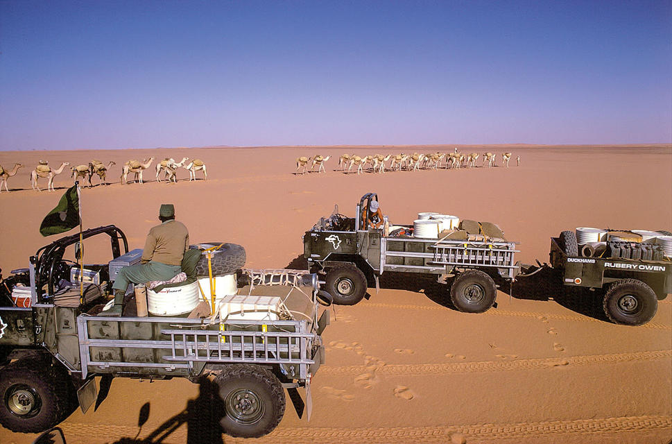
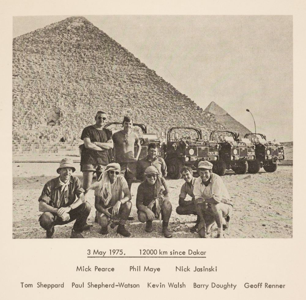
• Brits – Land Rover 101, 1975
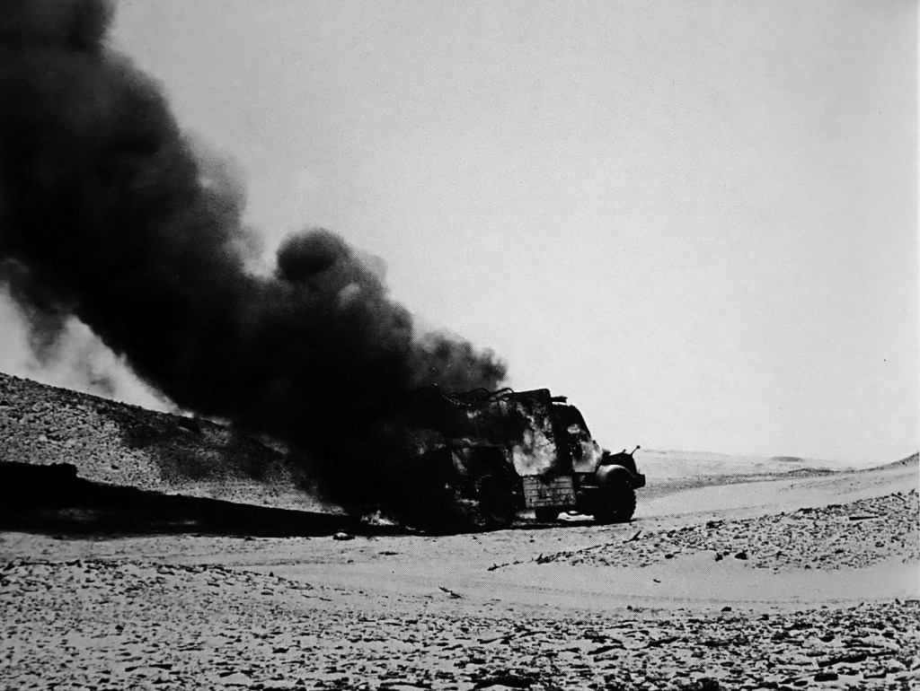
• Germans – Hanomag, 1975-6
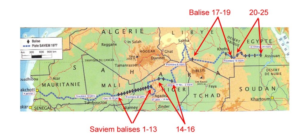
• French – Saviem, 1977

As I suggested in the book, a true, unbroken, all-desert lateral crossing of the Sahara with vehicles had yet to be achieved and as things stand, never will be in our time. If you combined the British route across Mauritania and Mali, then follow the French or Germans to Dirkou in Niger and the French or Belgians east of there, you have a pretty good line. As it is, even with a lot of road-driving in Algeria, I’d say from Tan Tan 9000km east to Port Safaga near Hurghada on the Red Sea, the Belgies get the nod (map below but note the oddly misaligned borders, not least Niger-Chad).

mogmap

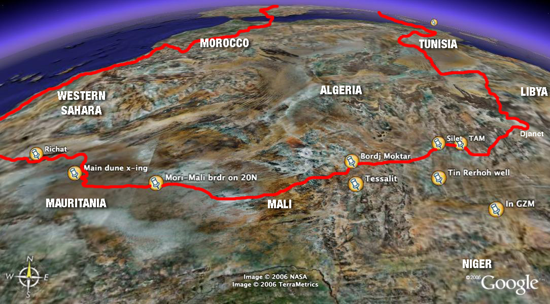
The chances of achieving a true Saharan traverse are currently about as slim as they’ve ever been. Much of the Sahara of Mali, southern Libya, northern Niger and Egypt are unsafe or off-limits. Eastern Far western Mauritania is said to be the same, and much of southern Algeria between Bordj east towards Djanet (as we did in 2006) is now restricted.

Northern Chad always presented difficulties from the mountainous terrain, let alone permissions and security issues. Meanwhile, people smuggling convoys still roll into Libya across northern Sudan above Darfur and are preyed on by bandits.

JSE 1975 route

In southern Egypt the Gilf has so many access regulations that few bother any more. Even in the west-east expedition era, permissions heavily restricted access: the Belgians had to enter Algeria from Spanish Sahara, not Morocco; the Brits couldn’t enter Algeria at all which kiboshed their plans and they went via Nigeria (left). Meanwhile the Hanomagers bounced for over 16,000km between the Maghreb and the Sahel like pinballs, but did a whole lot of classic desert routes; and the French seemed to dodge Algeria and Chad.

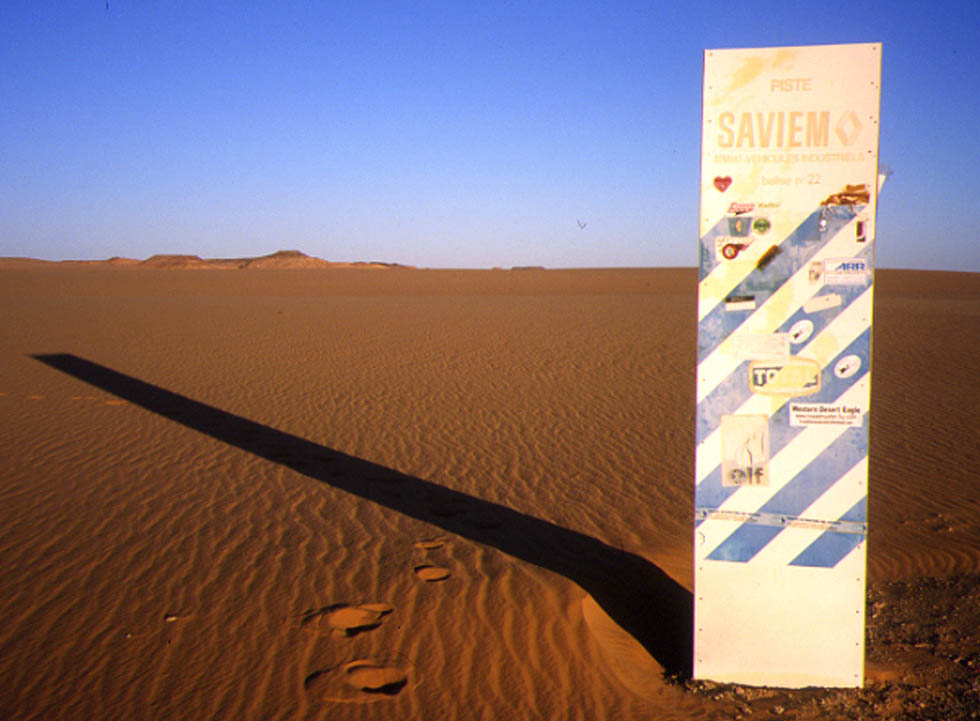
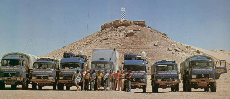
The Saviems of 1997 made a pretty good job of it once they left Mali, planting at least 25 of their distinctive blue and white balises across the desert is a bid to establish a new lateral trade route across the width of the Sahara. The value of that is clearly rather dubious, but it was a good excuse to promote the lorries and have a big Sahara nadventure, using trials bikes and even parascenders to help recce the route ahead.

In my travels I’ve come across remnants of Saviem #16 in Niger, as well as an intact Saviem #22 east of the Gilf Kebir (below). And there’s a photo here of Saviem #10 just a couple of years after it was installed.

crossers77
Saviem TP3 vans and SM8 trucks spinning down in southern Egypt, 1977, below the final balise #25, somewhere south of Kharga on the Darb el Arbain around here.

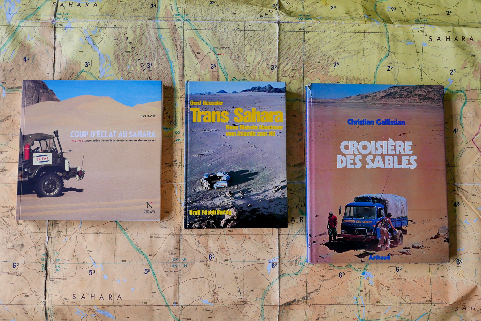
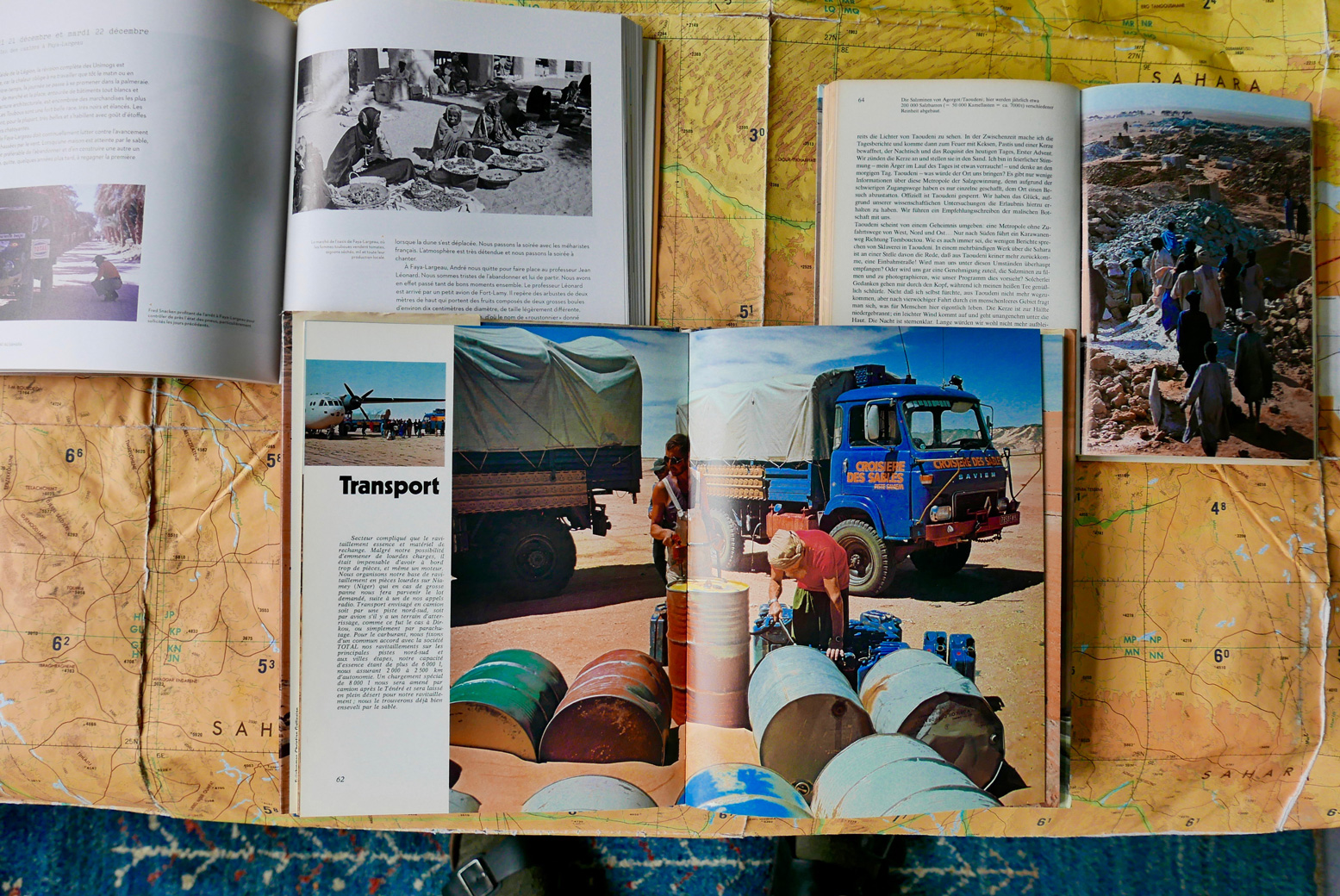
Of the four expeditions mentioned here, the three continental ones produced illustrated books in French and German (below). If you don’t read either language any better than me, the big-format Croisiere des Sables is a good one to get – mostly pictures and under a tenner on abebooks last time I looked.

westeastbooks

Coup d’Eclat au Sahara, Jean Stasse (2011, available new)
Trans Sahara – vom Atlantik zum Nil, Gerd Heussler (1978)
Croisiere des Sables, Christian Gallissian (1977)

eastwestbooks

Even though Tom Sheppard has published a couple of lavish Sahara picture books on his own travels, it looks like we’ll never get a full account of the JSE 101 crossing (but see below). There was an appropriately dry expedition report for the Geographical Journal in 1976 which you can read on JSTOR (map below).

ojwin16

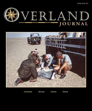
Tom Sheppard also wrote a well illustrated summary in the winter 2016 issue of Overland Journal (right). In 2022 I received an email from a reader who’d just acquired the full and exceedingly rare 150-page report which was being auctioned here. Looking further, it seems there may be a hard copy at the National Archives in Kew, too. Watch an interview with Tom here.


My own lateral crossings

sahara smuggling

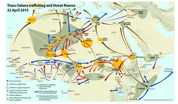
A while back, before things really got bad in the Sahara (right) it occurred to me that, with one small effort I could link up my own lateral crossing of the Sahara between the Nile and Atlantic. Of course it would have taken me several years, but mainly across three trips: Libya 1998 (researching Sahara Overland); Egypt 2004 and our big SEQ 2006 crossing (below) I’ve covered all bar around 800km of the distance.

algerian-tree

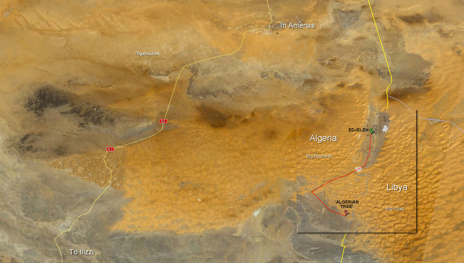
All that remained was a short, 70-km gap in the far eastern Algerian oilfields near In Amenas to the Algerian Tree (visible on Google sat and pictured left in 1998).
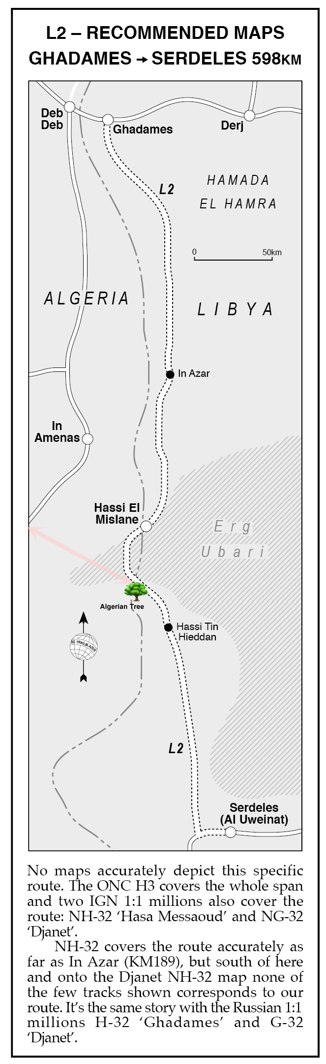
It was where Route L2 from Sahara Overland (below right) strayed briefly into Algerian territory to avoid the worst of the Idehan Ubari’s dunes.
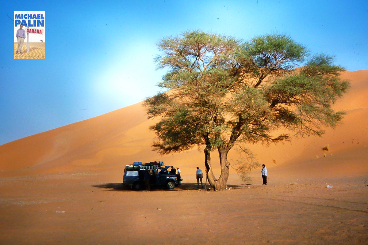
Some may recall Michael Palin visited this very tree for his Sahara TV show in 2002 and on arriving proclaimed:

l2

this spare, uncluttered, beautiful spot was one of my favourite places in the Sahara‘.
Well, he’s easy to please!

And in fact, I’ve since realised that when we treked with mules to Sefar on the Tassili plateau in 2013, I was within sight our 1998 route into the Libyan Akakus.

Up until the gas plant attack at Tigantourine that year, I could probably have knocked out my crossing to the Algerian Tree at any time. Either driving down to Edjeleh oil camp right on the Libyan border then scooting over the dunes as shown below).

I recall making contact with an oil worker based in Edjejeh one time, asking him about civilian access in the area but he wasn’t very forthcoming. Alternatively, one could just nail it 100km east from the N3 highway south of Erg Bourharet. The stony reg thereabouts is criss-crossed with oil exploration tracks, but, post-Tigantourine that area will now be closely watched.

tree-region1

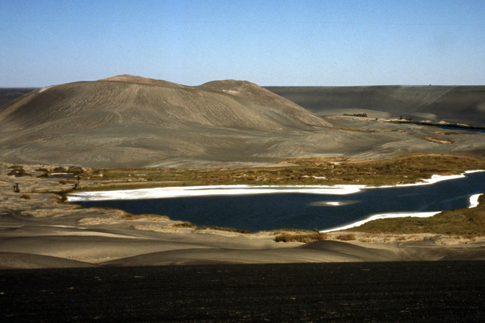
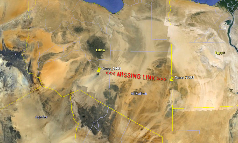
Then there’s a much more substantial missing section to get my West-East certificate in eastern Libya: from Waw Namus crater which we visited in 1998 (below) …

wawnamus

… to a place in Libya east of Kufra where we spent Christmas in 2004 on our Gilf trip based out of Egypt.

libya-gap

I remember that Christmas well; we had more trouble than normal getting Mahmoud’s Toyota-engined Series III running, dragging it to life with the Land Cruiser (below) after setting a fire under the chilled engine. With us that time was Toby Savage (my Desert Driving dvd co-presenter) who in 2012 travelled through the Gilf with WWII-era Jeeps, while possibly outnumbered by escorts and soldiers.

No tourist has driven in southern Libya since the fall of Gaddafi in 2011. The south was now controlled by the Tuareg (with a bit of AQIM and IS) and the Tubu who battle it out for the control of lucrative people-trafficking and other commodities coming up from Niger. As things stand now in Libya, ticking off that final 720-km stage from Waw crater to Xmas Camp may have to wait for a rainy day in the Sahara.

Z is for Zouar – Oxford Uni Expedition 1965

Part of the Sahara A to Z series
oxchad13

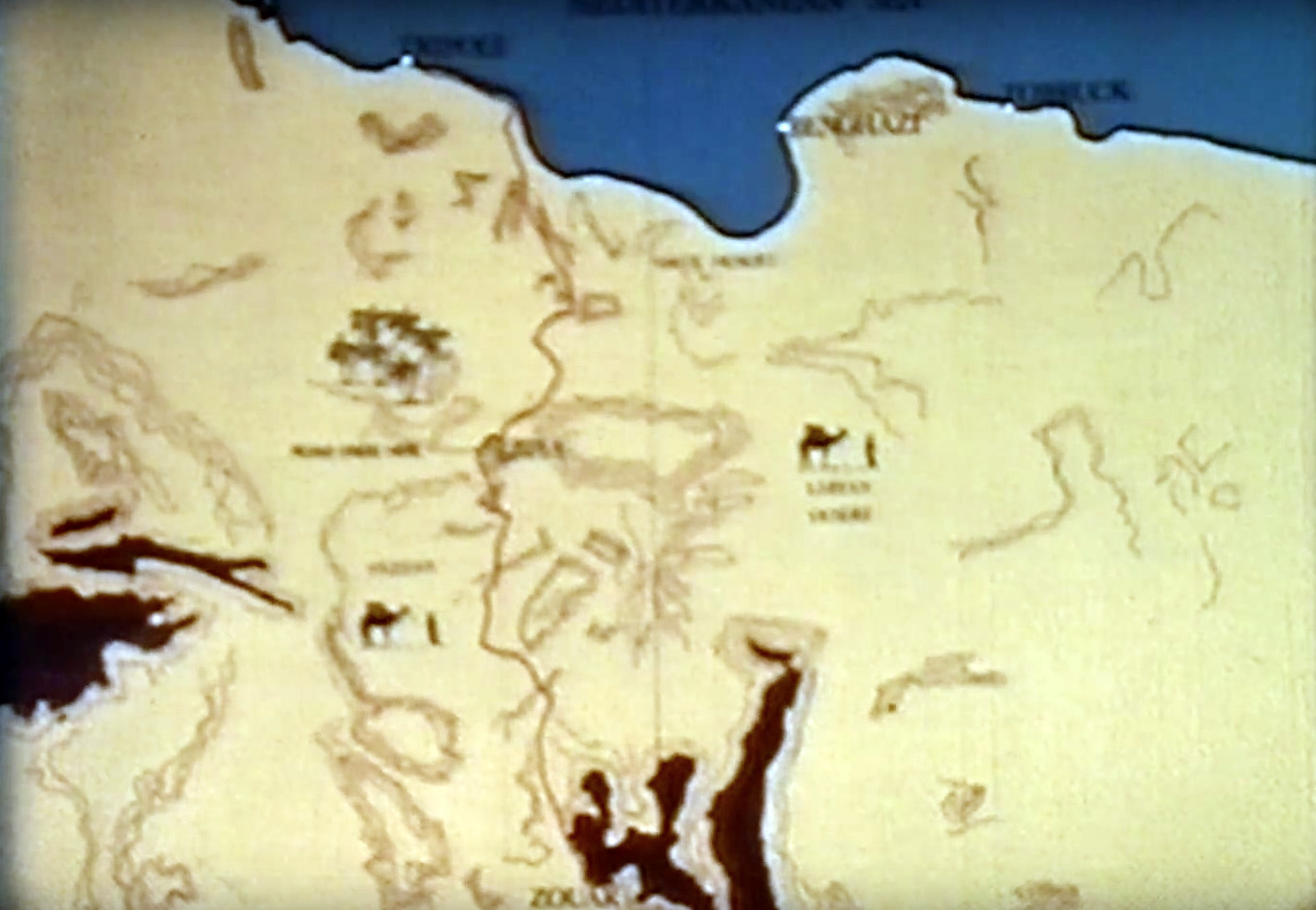
Back in 1965 the pro-Western Kingdom of Libya was just fourteen years old. US and UK military bases used the desert for training and testing, then the discovery of high-quality, low-sulphur oil just 200km from the coast transformed Libya’s fortunes. 

Gaddafi’s coup was still a few years away.

oxchadmap


Like many former french colonies, Chad had gained independence in 1960 but, as has been the case on and off since then, France retained military and Foreign Legion bases there. In the film you’ll see a French tricolour still flying in Zouar.

oxchad12

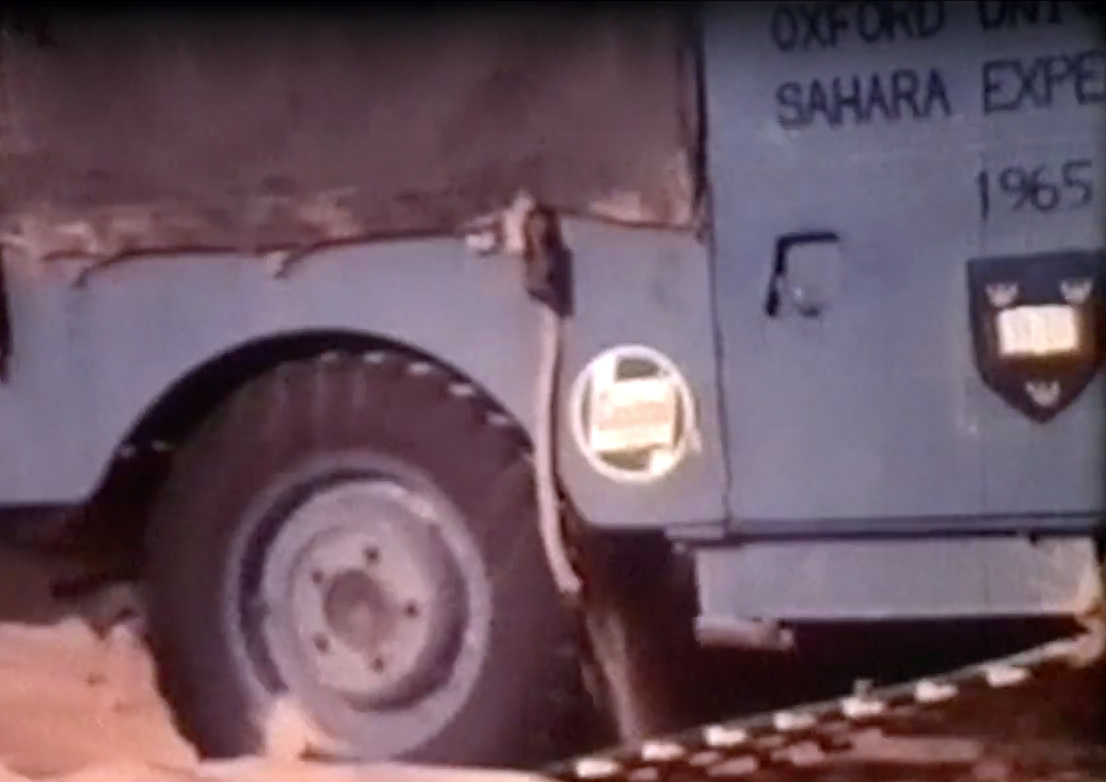
And best of all, the Chadian civil war was still a few months away, so what better time for a bunch Oxford university students to drive 5000 miles to Zouar for their summer hols in a a couple of 88 Landies and a 2WD Ford D-series lorry loaned by Ford. This was a time when it was still common for truck manufacturers to prove their vehicles on Sahara expeditions.

oxchad1

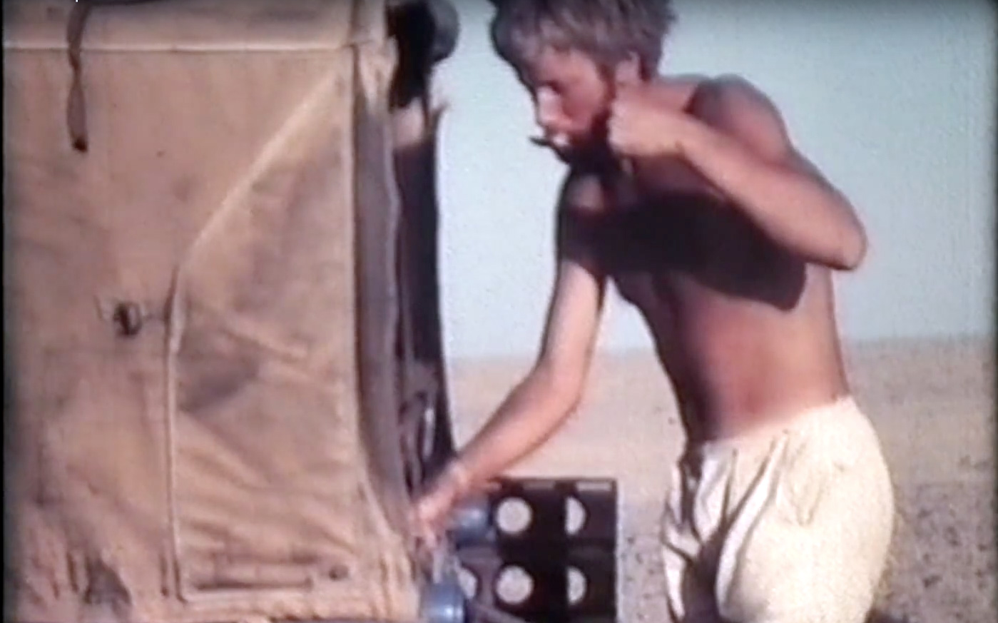
The film includes episodes of Tubu horseplay, lashings of corned beef and a Landrover door that just will not shut!

46-grinder

Interestingly you’ll also see a woman making flour with a grinding stone of the sort still commonly found abandoned all over the Sahara, wherever people once lived. As the narrator says ‘in remote parts of the world it’s hard to tell when such [Neolithic] tools were last used.’ At 14:20 there’s also an engraving of what might be a Garamantean chariot. Germa, the former Garamantean capital in southern Libya, is not so far from Zouar.

How to navigate by the stars

star
near the Gilf kebir
ahb
hblo

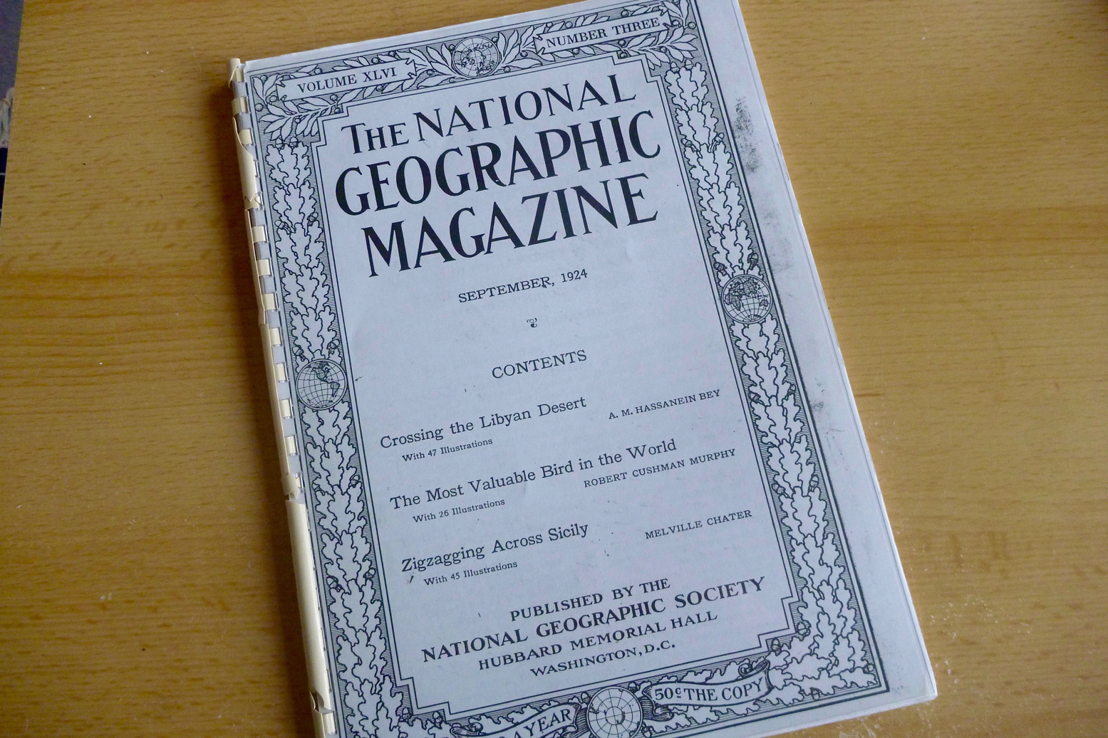
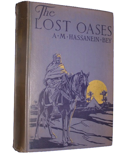
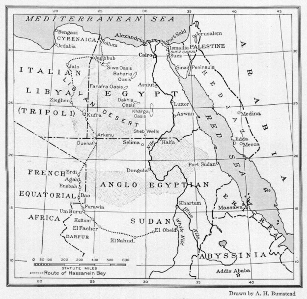
I recently read Ahmed Hassanein Bey’s 1924 National Geographic article about his six-month camel journey from Saloum on the Mediterranean to El Obied in the Sudan. (Read an online version here).
Two years earlier he’d travelled as far south as Kufra in sotheast Libya, then at that time the centre of the xenophobic Senussi sect. And in 1925 he published The Lost Oases which the NG article summarises and which is still available in print at normal prices.

ahbju

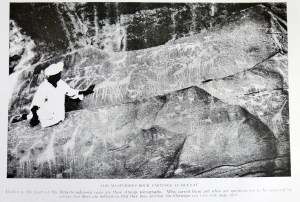
On that 2200-mile journey he located the ‘lost oases’ of Jebel Arkenu and Uweinat (see map above). At Jebel Uweinat he speculated correctly that the rock art depictions of animals he saw there must pre-date the 2000-year-old camel era which were not present in the imagery.

northstar

At one point in the latter half of the trip when the caravan is forced to travel at night to avoid the intense daytime heat, he describes how the guide navigated by the stars when there were no faint landmarks to aid orientation. It surprised me by being rather less intuitive and mysterious than I thought.

The manner in which a Bedouin guide finds his way across the desert at night is a source of wonder to the uninitiated. In a region which provides no familiar landmarks he depends solely on the stars. As we were proceeding in a south-westerly direction during most of our night trekking the pole star was at the guide’s back. He will glance over his shoulder, face so that the pole star would be behind his right ear, then take a sight on the start of the south in that line. He would march for perhaps five minutes with his his eye riveted on this star, then turn and make a new observation of the pole star for of course the star to the south was constantly progressing westward. He would then select a new staff of guidance and continue. 

He goes on to explain that the technique floundered around dawn and dusk when the stars weren’t visible and at which point he took over with his compass.

Garmin TOPO North Africa Light map review

See also:
Morocco Maps
Time for my Tablet: Samsung Tab + Gaia GPS vs Garmin Montana
How to trace a tracklog
Michelin 742 Morocco (2024) map review
Map review: Reise Know-How Morocco 1:1m (2023)

Screenshot

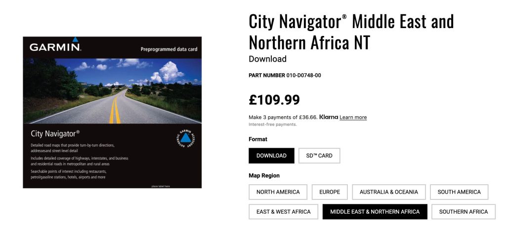
This review was originally for Garmin’s 2016 Topo North Africa v3 Light map and compared it with easily downloaded free OSMs, Garmin’s basic global base map and other digital maps, where available. V5 was the last version in 2023 still a £20 bargain, then the priced jumped back up to £110 for the current ME&NA map which I suspect is little changed. At the current price I’d save your money

Navigating the Sahara
Having used them since before the advent of GPS, I’ve got to know my Sahara paper maps well. Then, when GPS came along, I could pinpoint my position on a paper map with an accuracy that was more than adequate for desert travel. Some of these colonial-era maps such as the IGN 200s are cartographic works of art, and unlike current nav technology, in the deep Sahara topography changes at a geological pace.
In other words: a paper map of the deep Sahara from 1960 may still be accurate today. Tracks may become roads and villages become towns and even cities, but the open desert itself remains relatively unchanged. Is there a benefit in having a tiny map on your GPS rather than simply a waypoint to aim for or a tracklog to follow, even if your position on the map is displayed live? That’s essential for navigating a busy city with a Nuvi, but the Sahara is more like the sea where more often what you want is…

garminmap

… the big picture
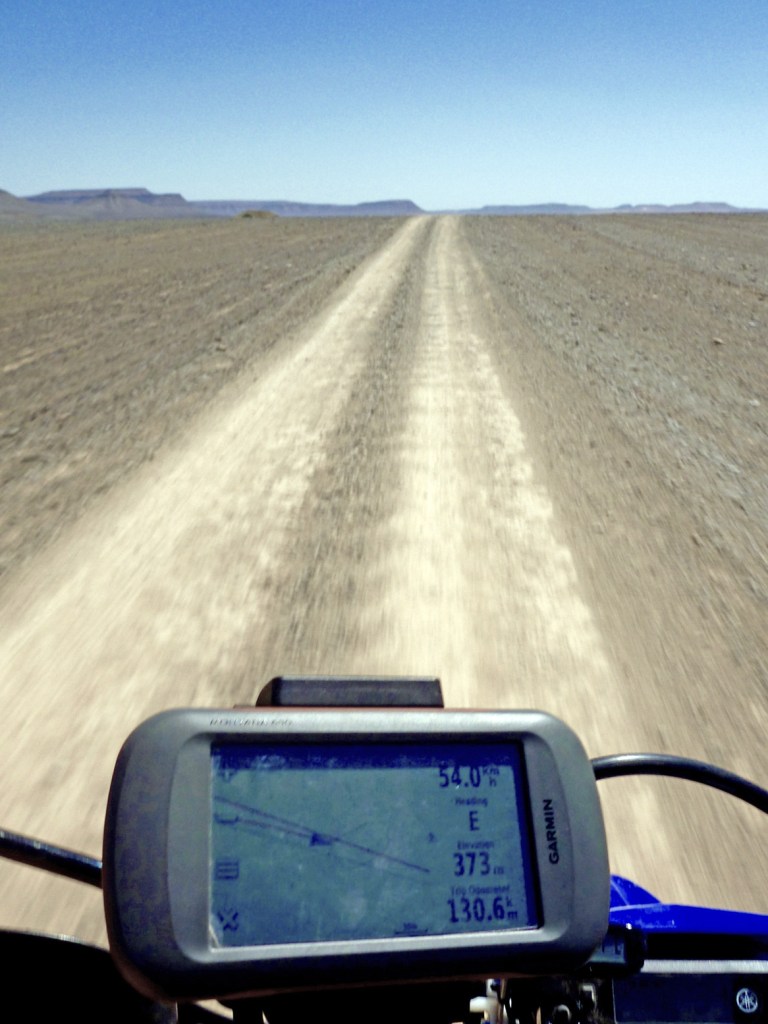
A typical handheld device like my Garmin Montana (left) has a screen a little bigger than a playing card and which is hard to read on the move – especially on a bike. 
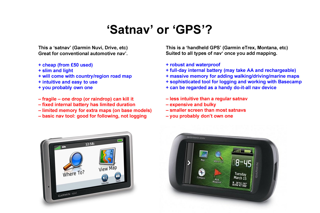
For me a ‘GPS’ (as opposed to a ‘satnav’ like a Nuvi – see below) is best at displaying simple data like how far, how fast, how high or which way, not fine topographic detail. A paper TPC map can display six square degrees over some 18 square feet – what you call ‘the big picture’. That’s what you need travelling with a vehicle in an expansive area like a desert, while at close range concentrating on negotiating the terrain.

mush

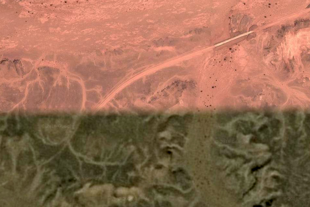
On top of excellent paper mapping (now widely digitised), we also have the wonder of Google or Bing sat imagery (Bing was often better, now Garmin have the edge) providing a clarity that varies from stunning (being able to trace car tracks) to a brown mush (both shown left).
Google sat is great when planning, and now for a reasonable annual subscription, Garmin offer Birds Eye satellite imagery for the whole globe; the long-sought after ‘Google sat in your GPS’. With all these resources navigating in the Sahara couldn’t be easier.

satnavorgps

Garmin Topo North Africa v3 Light (now ME&NA, see above)

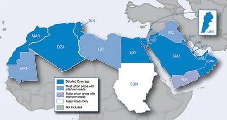
Current ME & NA coverage

Short version
Even though in 2021 old Olaf from 2009 still measures up well, the similar topographic detail of the Garmin means it’s well worth £20, certainly over the plainer, but also free OSMs. In 2018, following a refurb/repair of my Montana, the v1 2016 version of this map was lost or could not be reloaded. I had to buy the v3 version for another £20. A quick scan shows that not much changed, but if it has (based on OSM user updates), it will be in Morocco – the place where most users of this map will visit.

gar-atar

Long version
You download the Garmin Topo map directly into your device (takes about an hour) and only when your GPS device is plugged into a computer, will it display on BaseCamp. Unplug the GPS and the map disappears from BaseCamp.

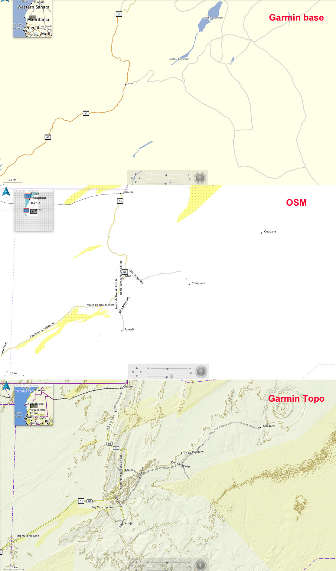
Switching BaseCamp between Olaf, OSMs and even the Garmin base map which comes free with a GPS unit, it soon becomes clear that the Garmin Topo has a level of detail and refinement that’s superior to the next best thing at the time: Olaf.

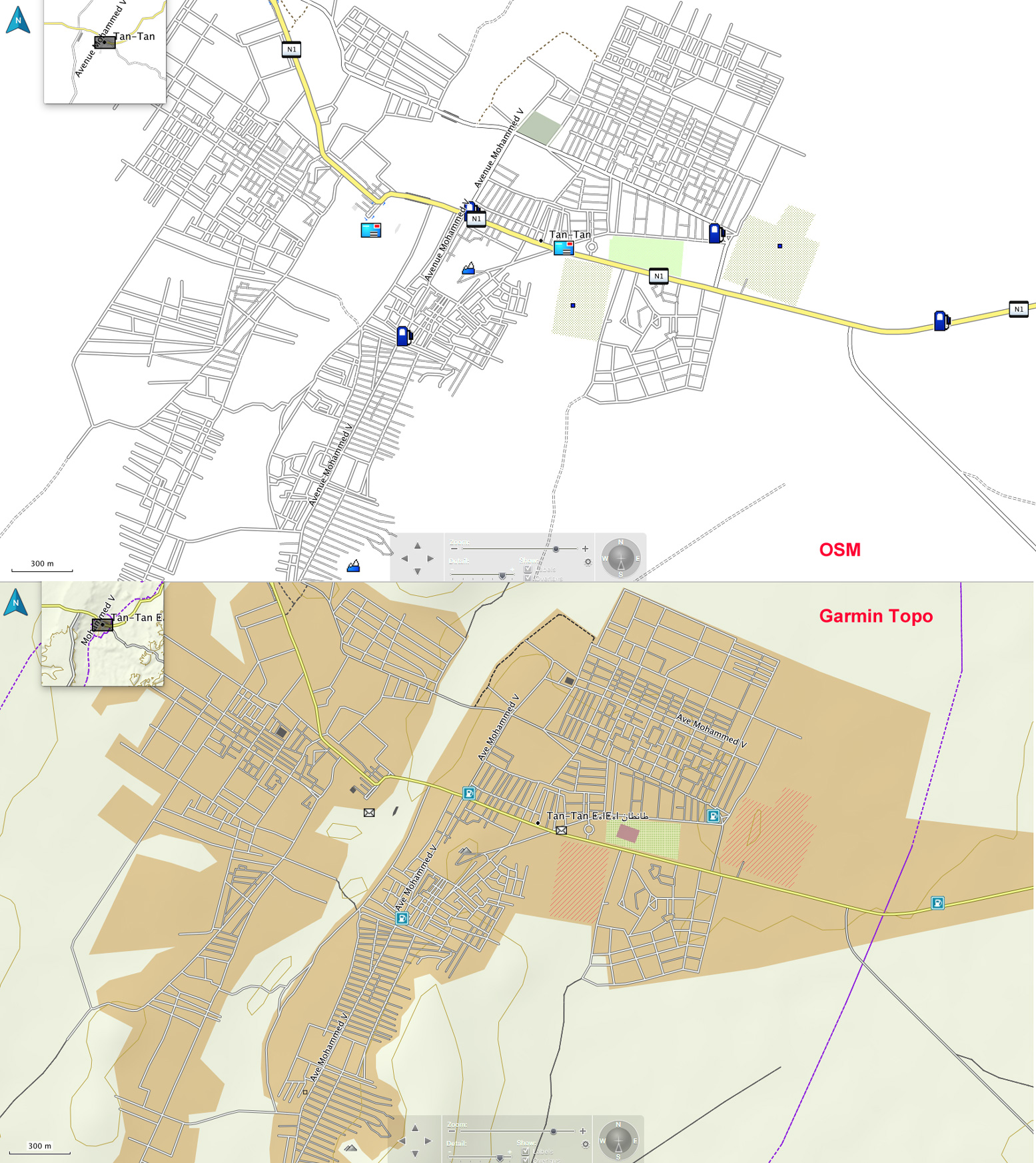
Occasionally at village level the OSM’s street-by-street detail is better, but that’s hardly vital. In towns and cities the extra shading distinguishes the Garmin from the plainer OSM, as shown for Tan Tan, left.

gar-tantan
Tan Tan

The chief difference is in the desert where the Garmin depicts relief and surface with more detail and clarity using shading, contours and colour where OSMs only use colour and Olaf only used contour lines which can be distracting.
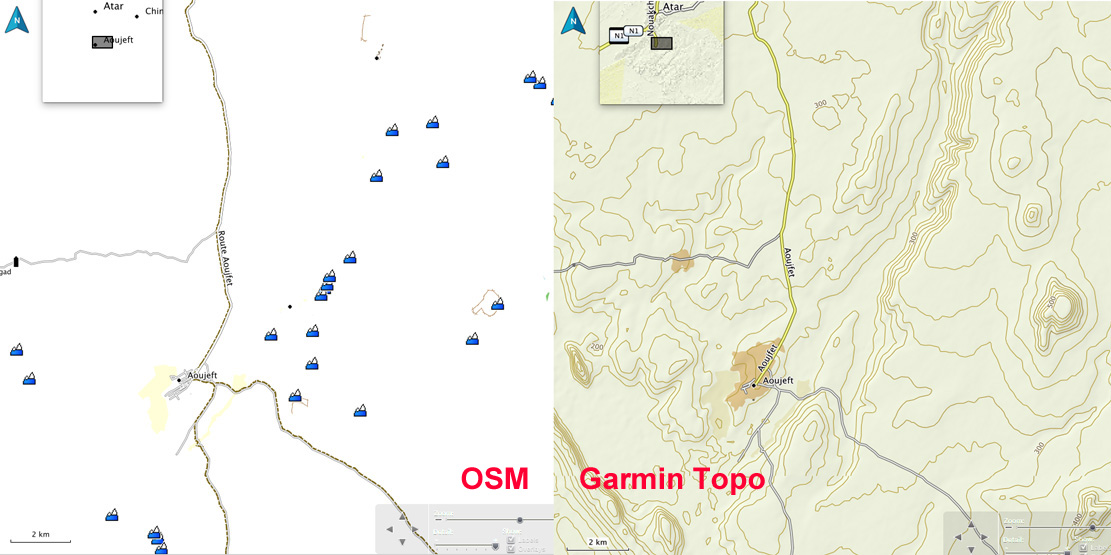
Look at the Atar region (RIM) above right – an area of escarpments, canyons and dunes – all are reasonably accurately shown on the Garmin Topo. There’s an anomaly on the Topo map on the left (bottom panel) in that the (presumably automatically recorded) elevation variation in dunes depicts them as lots of small hills (which in a way, they are), but only once they’re above a certain height. Identifying dunes with contours is not helpful nor a cartographic convention. Shade and colour is best.

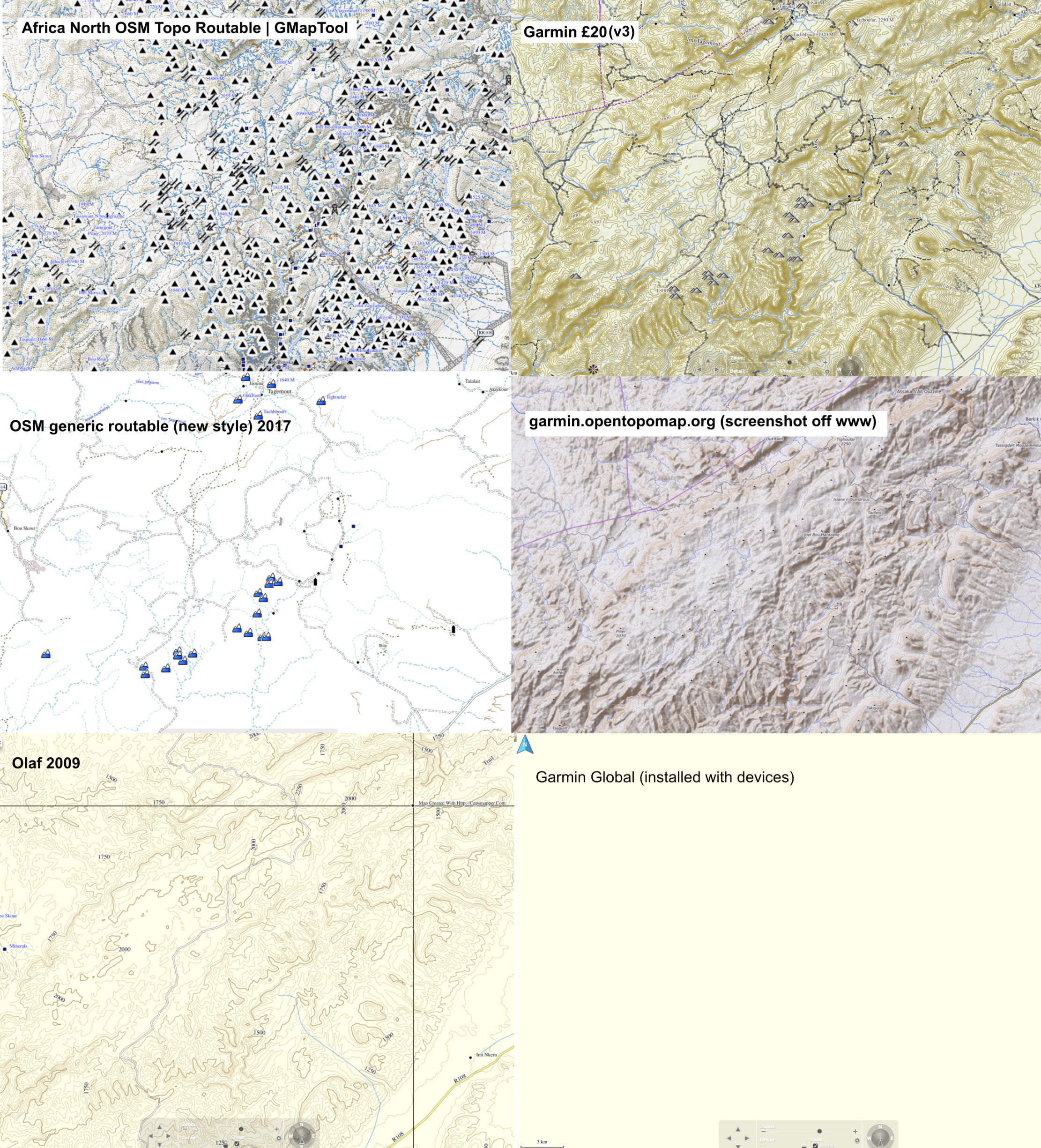
Six digital maps compared 2021– screenshots of Jebel Saghro, Morocco. Garmin v3 is #2.

The piste and road detail on the Topo is pretty good: yellow for national highways, twin lines for secondary roads or piste, and a single line for a less used piste. A quick check in Morocco shows they’re all there; most of the ones I know are there in Mauritania too. In southern Algeria only a few main pistes are shown and certain ‘national highways’ are actually remote pistes never likely to be sealed. The Topo map would not be so useful here.
In any country dashed lines may well be walking trails, but as far as I can see, there is no key or legend with the Topo map. Some POIs are there too – just fuel stations and post offices as shown on the Tan Tan map, above.

gar-px

In places the Garmin copies OSM’s annoying habit of again, marking high points (automatically?) as mountains which is a distraction, let alone inaccurate – for example when an escarpment gets shown as a string of peaks. If you drop the detail level enough notches on BaseCamp, these peaks (left) only disappear once all the useful tracks and place names have gone too. It’s great (and a bit puzzling) that this stuff is produced for free at all by OSM supporters, but the quickest flip to sat imagery would reveal the true nature of the relief.

So does the Garmin Topo map mean I’ll stop using Google or Bing imagery in the planning, or paper maps on the piste? The former, I don’t think so; the later in Morocco yes, but elsewhere in the Sahara I’d still rely on paper maps.
In places like Morocco the extent of marked pistes can be converted into accurate tracklogs, but with better surrounding detail than OSMs. And, unlike Olaf, there’s no aggro importing into a modern, touch-screen GPS. When I want to quickly verify where I am, a glance at the Garmin Topo will may be adequate.

I’ve been using the Garmin Topo map quite heavily on BaseCamp last couple of days, preparing a new edition of Morocco Overland. It’s an intuitive-reading map and I’ve found one benefit of using a Garmin map on Garmin software is that when stringing out a track with the ‘create a route’ tool, it automatically snaps onto even the thinnest track on the map just like Google maps. But the BaseCamp tool won’t do that with other installed maps like OSM or Olaf, or even the basic Garmin base map. Sometimes you have to trick the tool to go the way you want, but it makes stringing together hopefully accurate routes (as well as distances) very easy. Occasionally only Olaf will show a route you want to follow, in which case you make the route with lots of short, straight lines. No so hard.

Getting routed: As the track was clearly visible, I traced the route I’m logging above (MW7) off Google Earth the previous evening (internet required), saved and exported the kml then imported it (as a gpx) into my Montana via BaseCamp. This was pushing the outer limits of my tech ability with this sort of stuff.
GPS digital maps not really needed as I had the largely accurate self-drawn tracklog on the screen to follow, while recording my own live tracklog. Years later I used this same system (pre-trace route off Google Earth) again while logging MH23. The great thing with satellite is WYS is usually WYG, whereas with maps (paper or digi) WYS can be nothing at all.

S is for ‘Sahara’ ~ the mystique of the desert

Part of the Sahara A to Z series

The desert is ruthless
It strips you of your vanities
Your illusions
Gives you the opportunity to see yourself for who you really are


Character addressing Jesus figure in The Last Days in the Desert (2016)

sol-tazat

More than other wilderness environments, the desert is commonly seen as a place for spiritual rebirth or just some contemplation. Some speculate that it’s no coincidence the world’s great monotheistic religions originated in the desert. Or perhaps it was the other way round: the Fertile Crescent along with timely wheat mutations and climatic cycles spawned great civilisations from which monotheism evolved. Anyway, just being in the desert it’s commonly thought one can be purged, cleansed and reborn. When striped of familiar surroundings and associations, you commonly hear travellers professing an awareness of their insignificance in the great scheme of things. Whatever, it’s always been seen as a good place to get away from it all, including other people.

In the desert you can remember your name
Coz their ain’t no one for to give you no pain

sol-boa

Another one of those periodic ‘I want to cross the Sahara by camel’ posts popped up on the forum the other month. The OP ‘…thought to myself ‘I want to have a life changing experience’ and thought this would be just that adventure.’ Across the width of the Sahara from Atlantic to Red Sea. There followed some clarification, good advice and some scorn, and within a few days the thread blew itself out.
What is it about crossing the Sahara? Why do ordinary individuals get fixated on the idea of ‘crossing the Sahara’ at all costs? I know when I first went there the Sahara was something that was on the way to where I thought I was going, but so was France and the Mediterranean. I didn’t see crossing the Sahara as a life-affirming achievement or any sort of event – I was more looking forward to the simple challenge of some desert biking.
Perhaps the words ‘cross’ + ‘sahara’ add up to a compelling soundbite that anyone anywhere will get instantly, like ‘climbing Everest’ or ‘rowing the Atlantic’, but perceived as a whole lot easier.
I received a similar enquiry. A chap wanted to cross the Sahara with camels – it didn’t really matter where, it was the crossing that mattered. He suggested some catchy start and end points like Casablanca to Dakar without really thinking it through – padding alongside Morocco’s busy N1 highway with a troop of dromedaries strung out nose to tail. I made what I thought were some better suggestions that would give a real sense of travelling in the desert with camels while dodging the worst of the current political complications. I even sent him the camel chapter from the book (short version of this). I never heard back.

sol-rep1
impjor

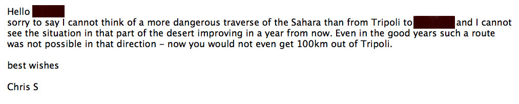
Above is my answer to another enquiry which boldly stated the intention to pull off a hare-brained scheme so I’d have no doubt of the total commitment. ‘Nothing is impossible!’ Never heard  from her again, either. Maybe I am too blunt but I keep these emails as evidence of ‘well, I did warn them’ should they ever crop up in the news.
It seems that people hungry for adventure lose something of their reason when it comes to crossing the you-know-what. They’re carried away by the concept which ignites the dream and set about with a steely determination to make it happen.
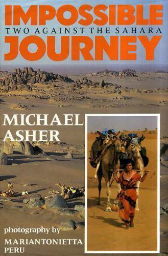
To my mind camel crossing the Sahara north to south and especially laterally requires a solid background of experience which is why I respect the achievement of Michael Asher and Mariantonietta Peru when they did it in the 80s and went on to write Impossible Journey. At least they had a good idea of what they were taking on. These days the journey is a whole lot more impossible.

There must be something about camel trekking across the Sahara that makes it sound relatively uncomplicated and easily done alone. You traverse the wilderness with the unspoken companionship of your caravan and maybe a nomad guide whose language you don’t speak: ‘horses with no names’ who won’t question insecurities or flakey motivation.

sol-cam

Aside from the practicalities or logistics of such a monumental task, what irks me is that very often there’s little curiosity about the environment or the cultures they’re passing through. The conquest trounces all, and the empty Sahara is just a backdrop for a monumental vanity project, as it was for Geoffrey Moorhouse back in the 70s and several others before or since.
As I was told recently by an individual who came close to death in his quest: It was a bad time and I made poor decisions. I desperately wanted it to be “me and the desert” and to have my own experience in solitude. I’m wiser now.

sol-xt

Once I get used to it and feel comfortable I like to be alone out there too, and in the desert that’s not hard to do. If anything it helps you re-evaluate human companionship which may be part of the catharsis some seek out there. But I find there’s no need to go to extremes to do this. One memorable desert camp is all that’s required to consolidate a feeling of well being. For me the image below sums it up nicely. Only a mile off the track to Djanet in 1988. For the moment the bike was running well and so was I. It was nice spot for the evening – comfortably alone. There have been many more nights like that out in the Sahara, with or without other people.

djanet88

Usually though I’ve found travelling alone with a vehicle tends to extinguish any mystical retrospection. On a bike you’re totally preoccupied with keeping upright, not getting lost  and all the rest – and in a car it’s the same plus the noise and the shaking. It is the evenings that are a blessed respite from the task, the heat and the wind and when the appeal of the desert is easily felt.
In a group, walking with camels and crew is a far more satisfying way to enjoy the desert day or night, most probably because there’s so very little to worry about. You don’t have to know any more than how to walk, sleep and eat. It’s the very simplicity of such desert travels that strikes the chord, even if this is a fantasy enabled by the hired crew of desert nomads. The actual practicalities of making it happen and sustaining camelling independently get quite complex as many accounts that I’ve read have shown. And now you have to account for the unglamorous and unromantic political overlay.

I suppose the hope is that when one gets to the Other Side one is reborn or cleansed or at the very least feels a sense of achievement which ought to trump all insecurities. But no account I’ve ever read has admitted to that. Or perhaps midway through the journey there is some sort of epiphany with a closure and acceptance and an understanding that life must go on, at which point the epic challenge may lose its purpose.

After nine days, I let the horse run free,
‘Coz the desert had turned to sea.

Me, I just like being in wild places including the desert. It doesn’t have to get complicated.

sol-edg

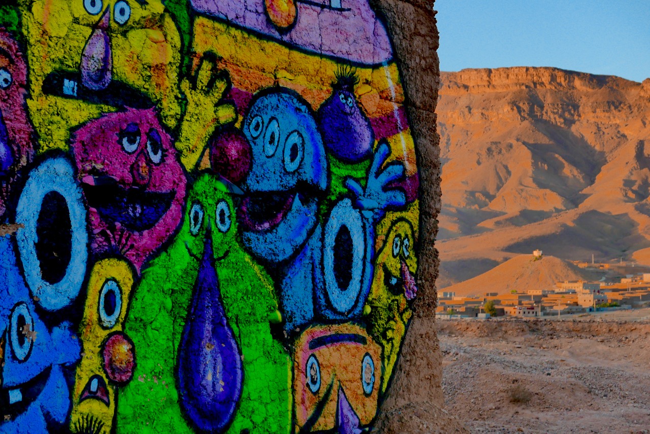
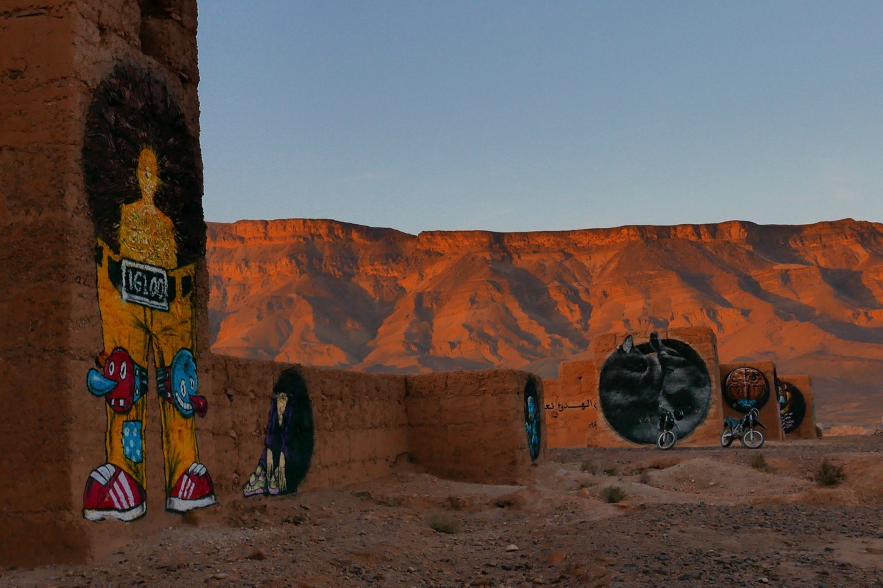
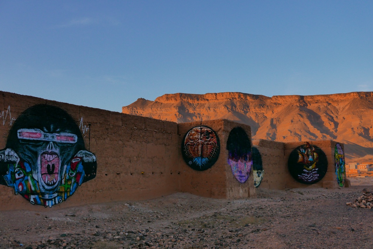
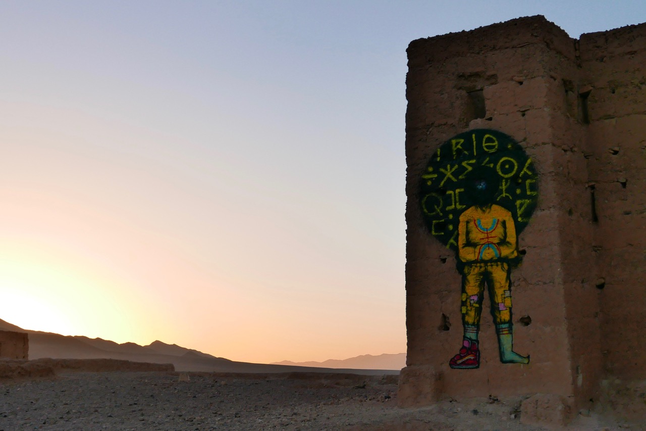
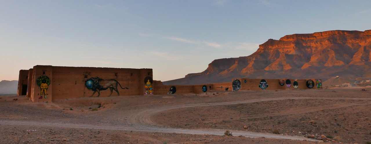
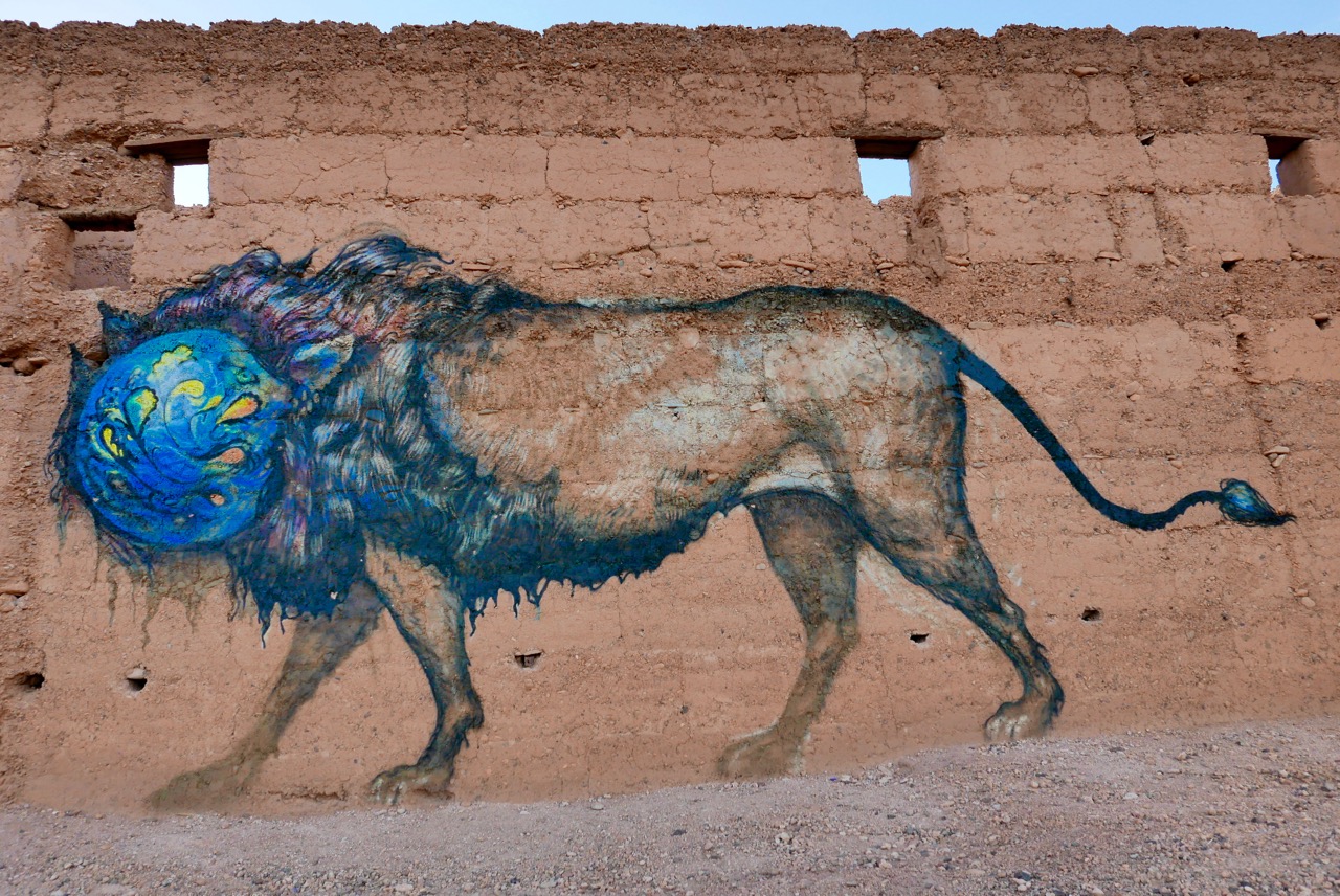
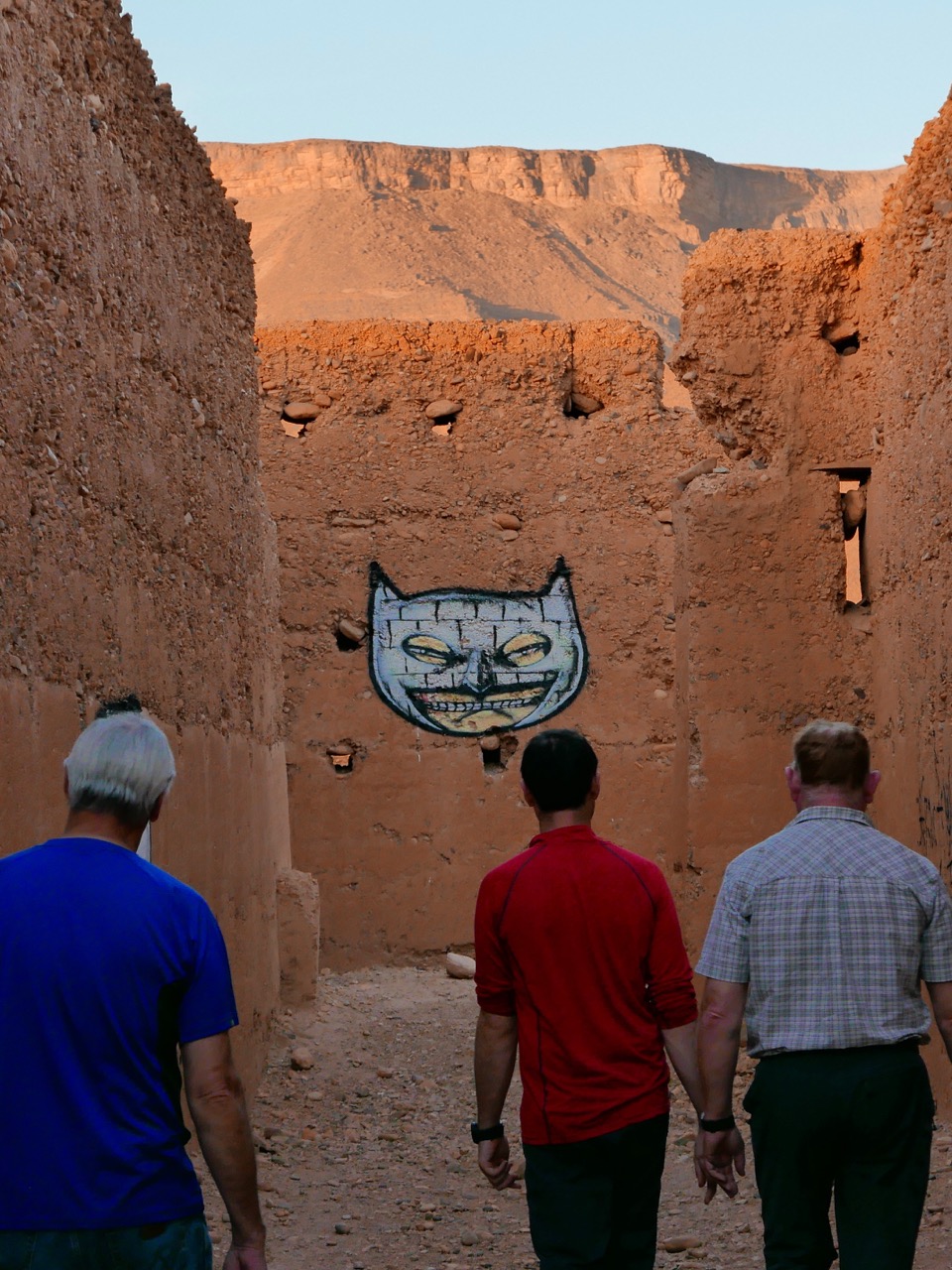
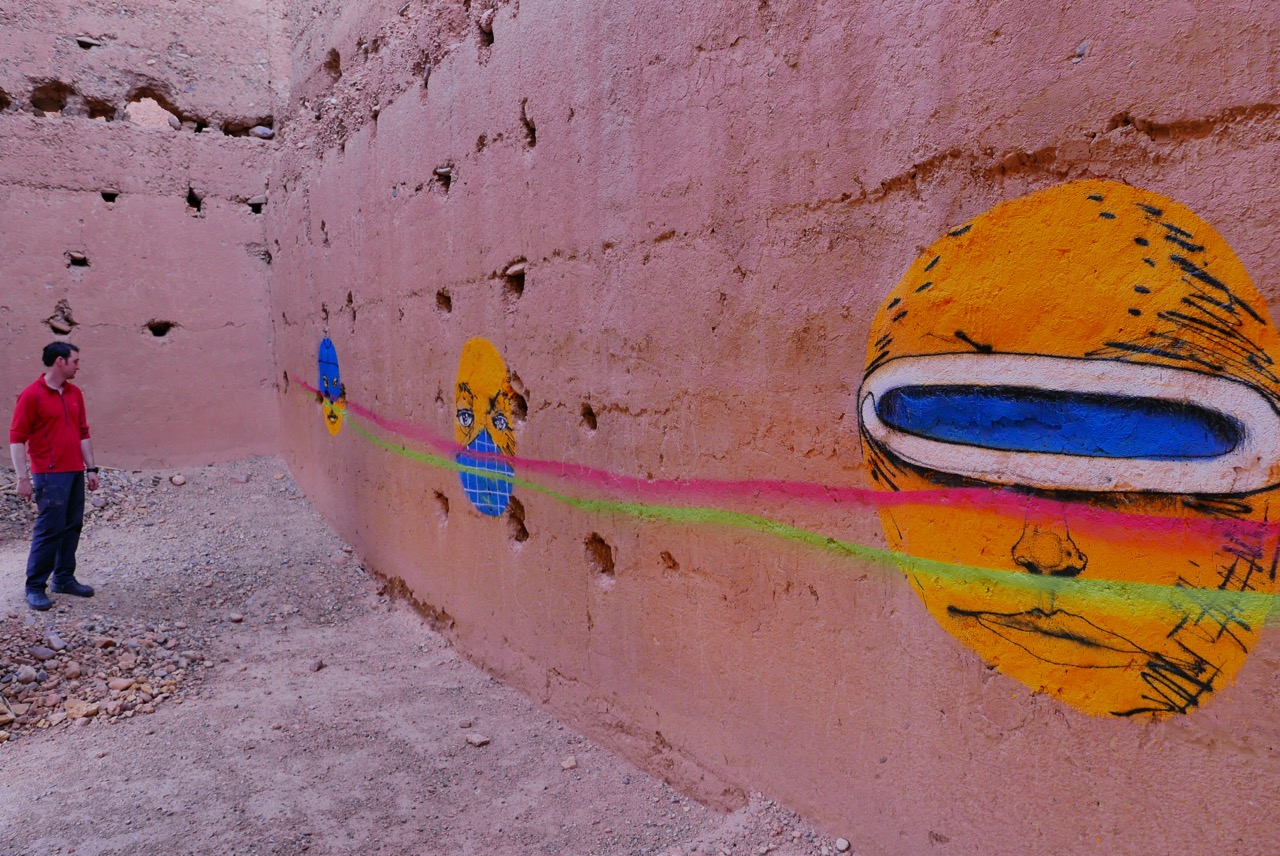
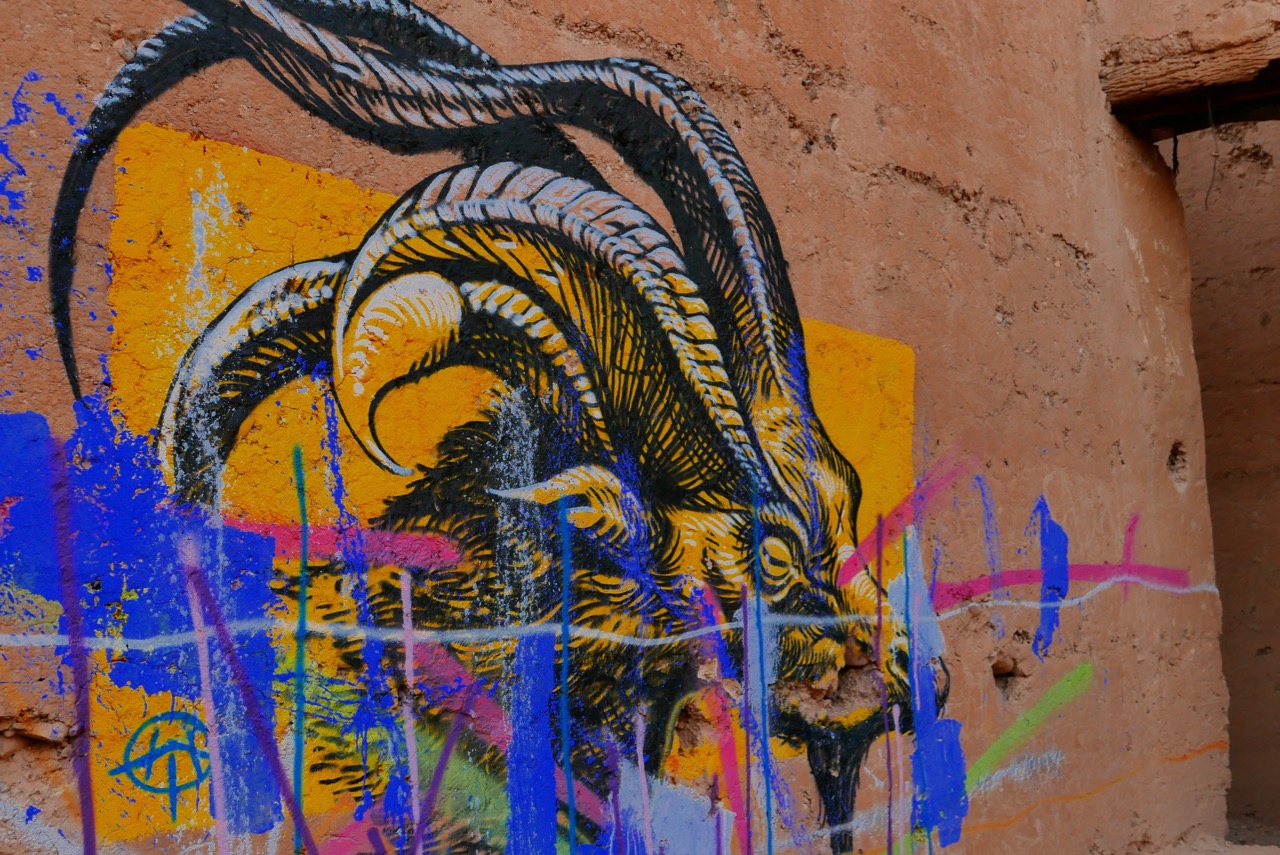
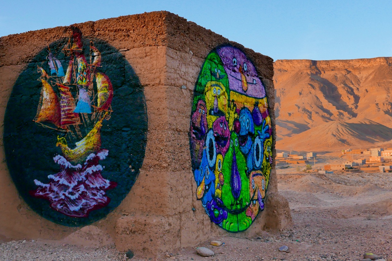
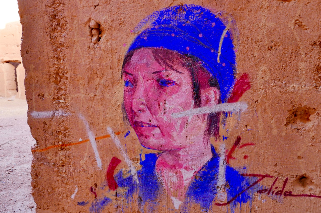
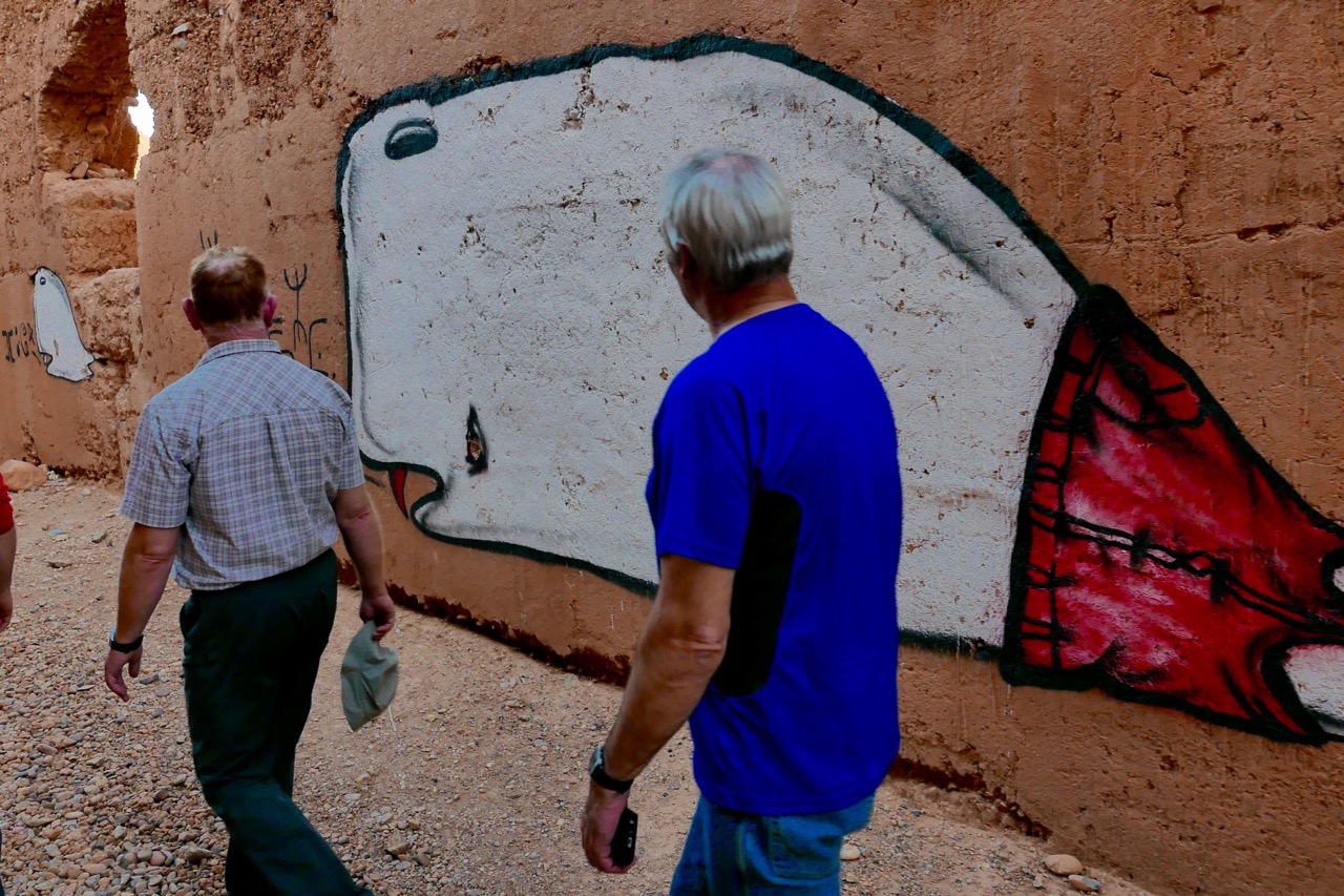
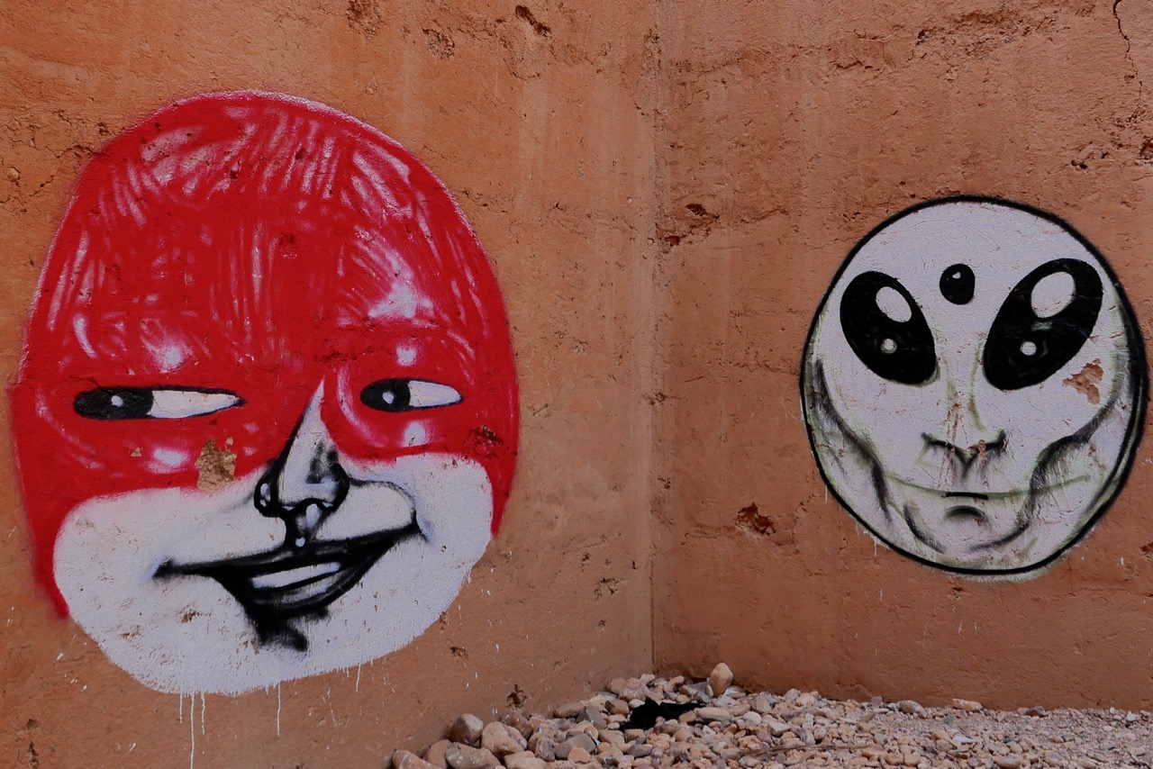
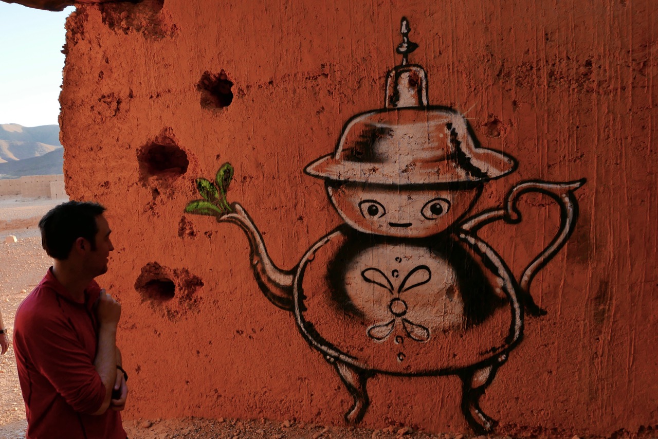
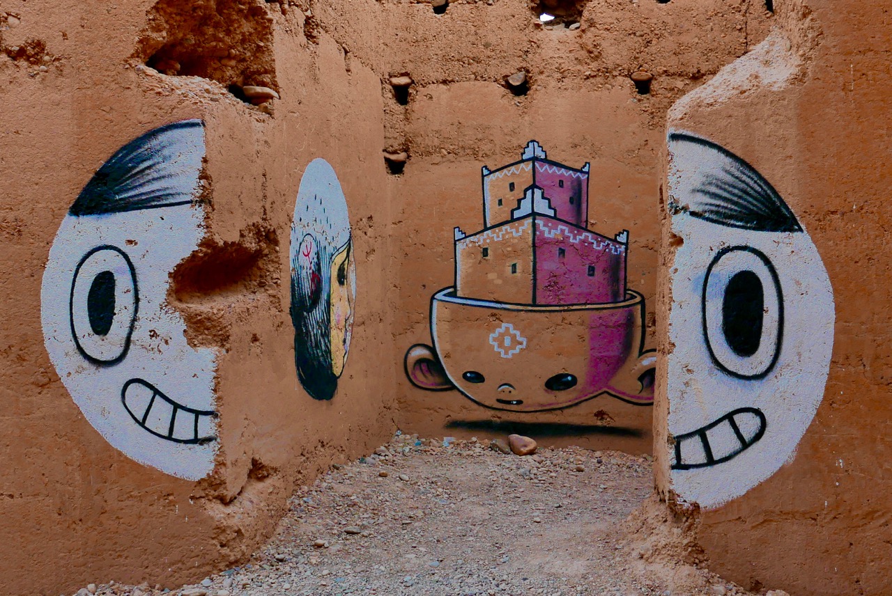
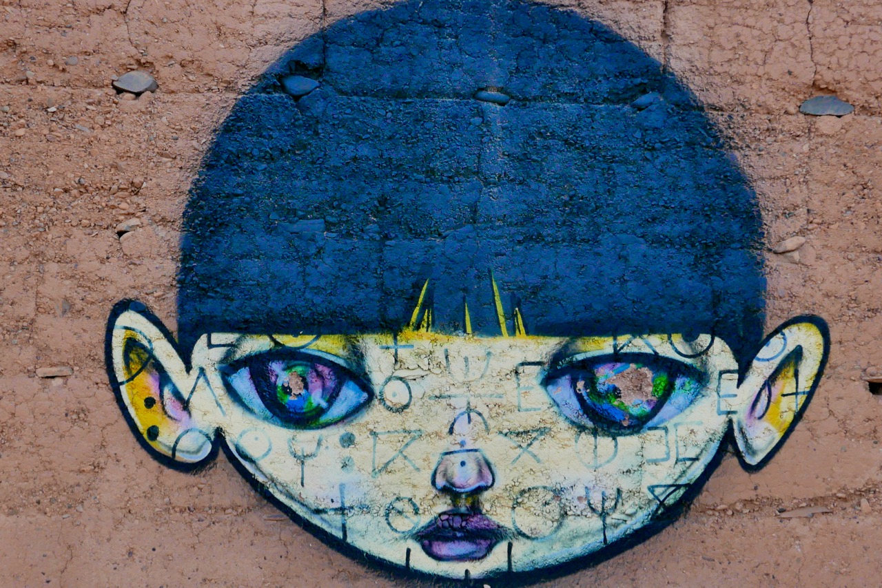
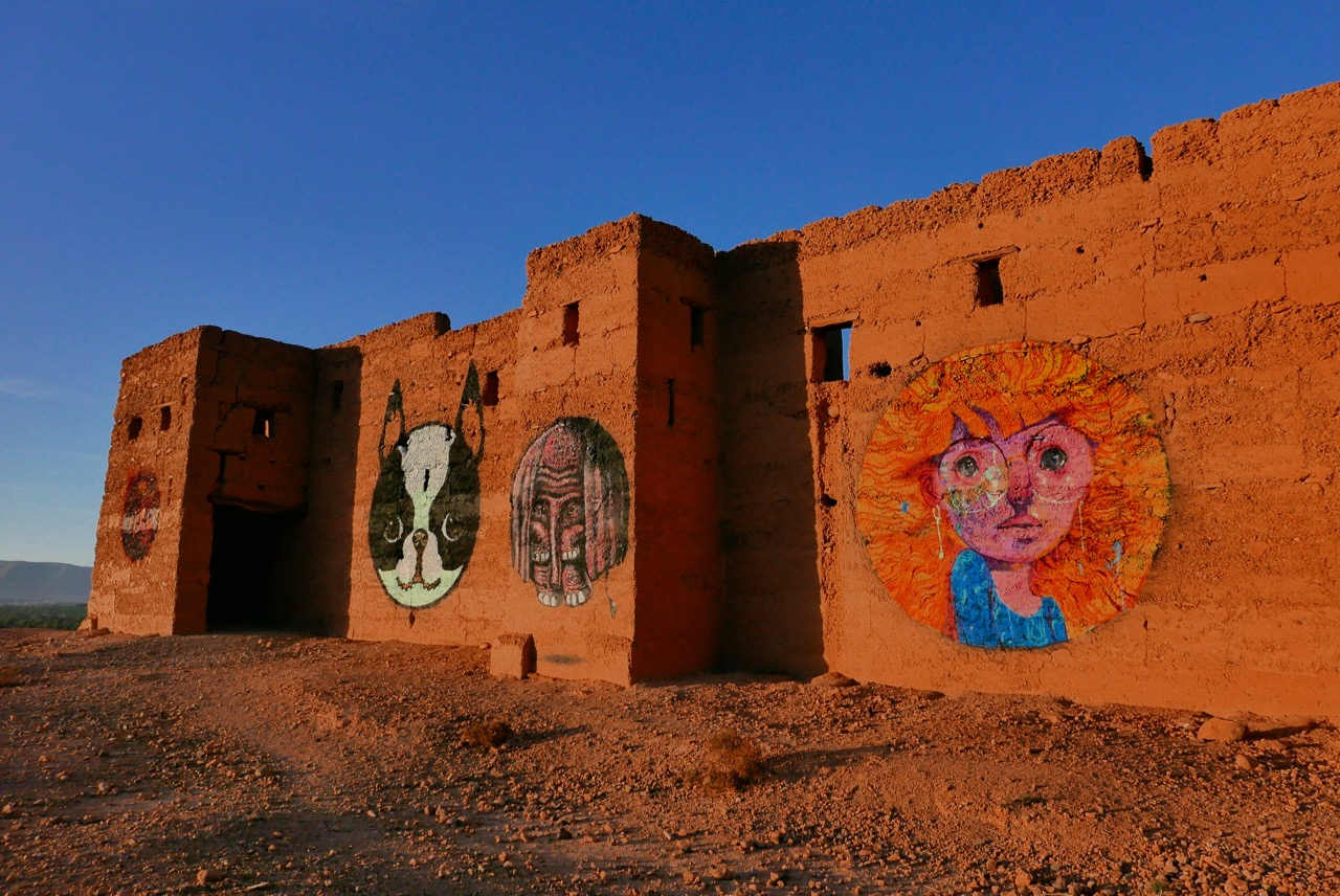
Strange graffiti at Tamnougalte

The ‘acid gallery’ in the ruined fort of Tamnougalte.
Originally painted for a trippy dream sequence in a car advert, I was told.

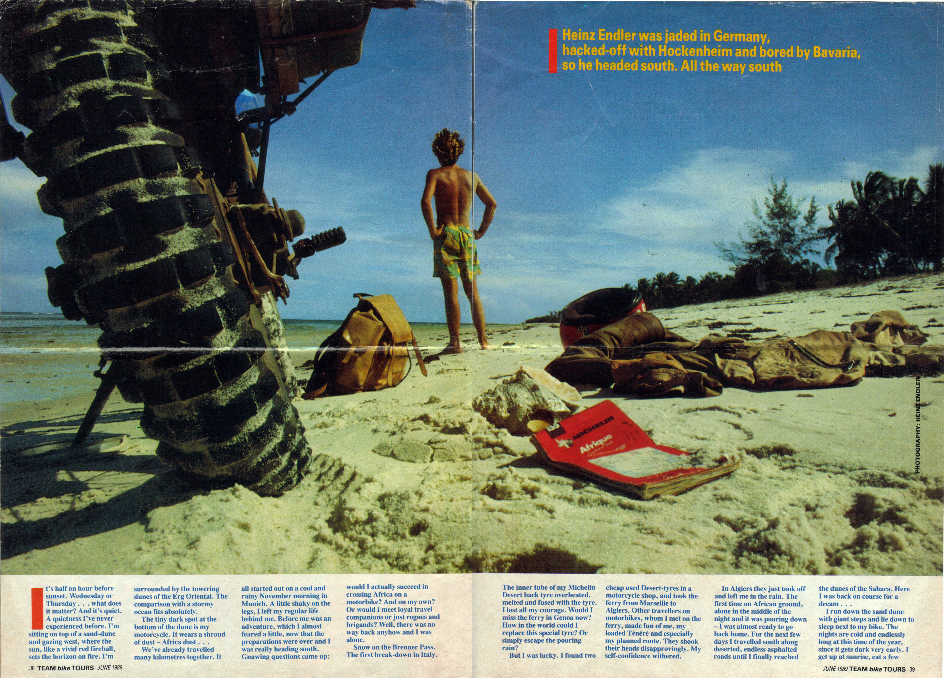
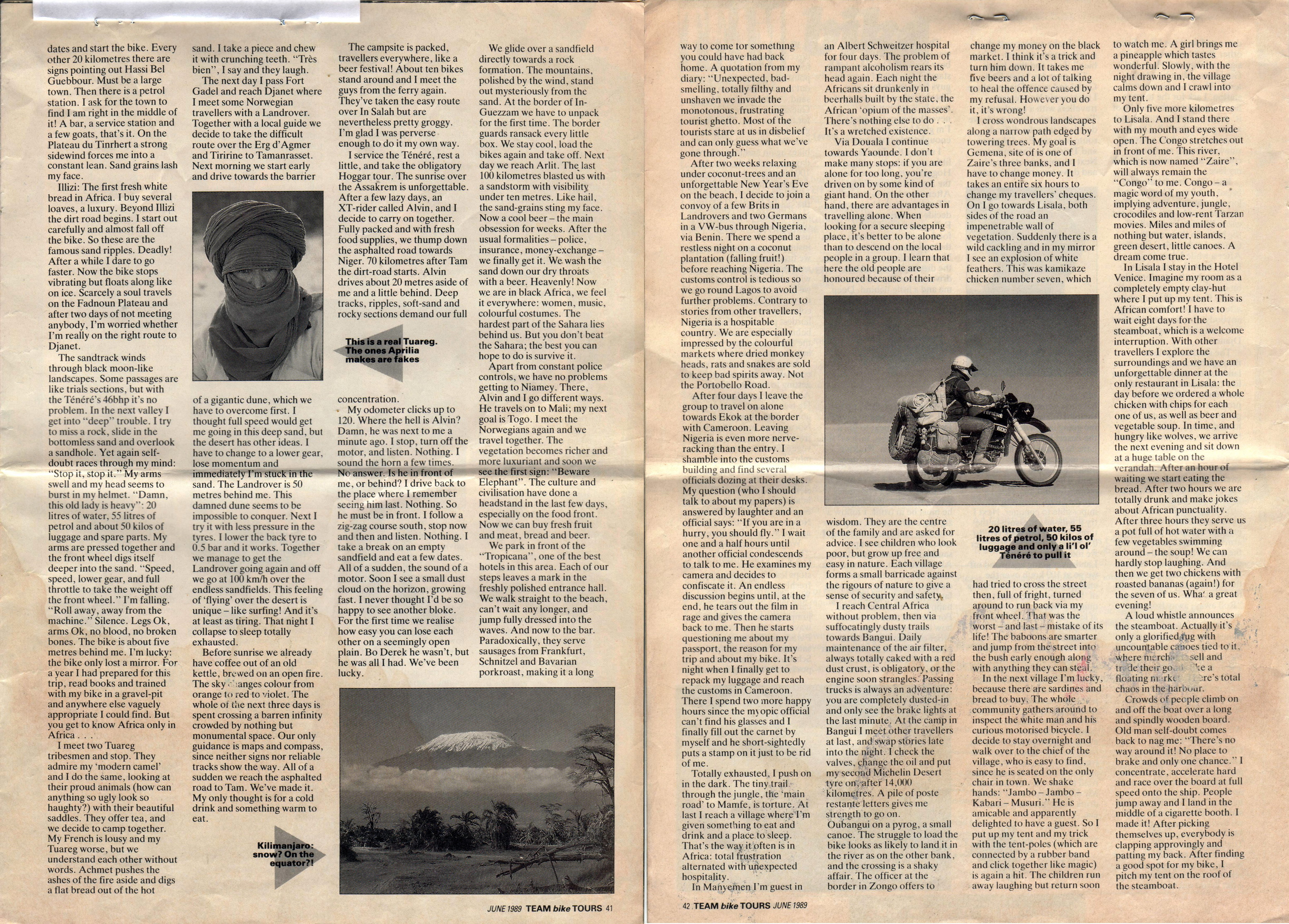
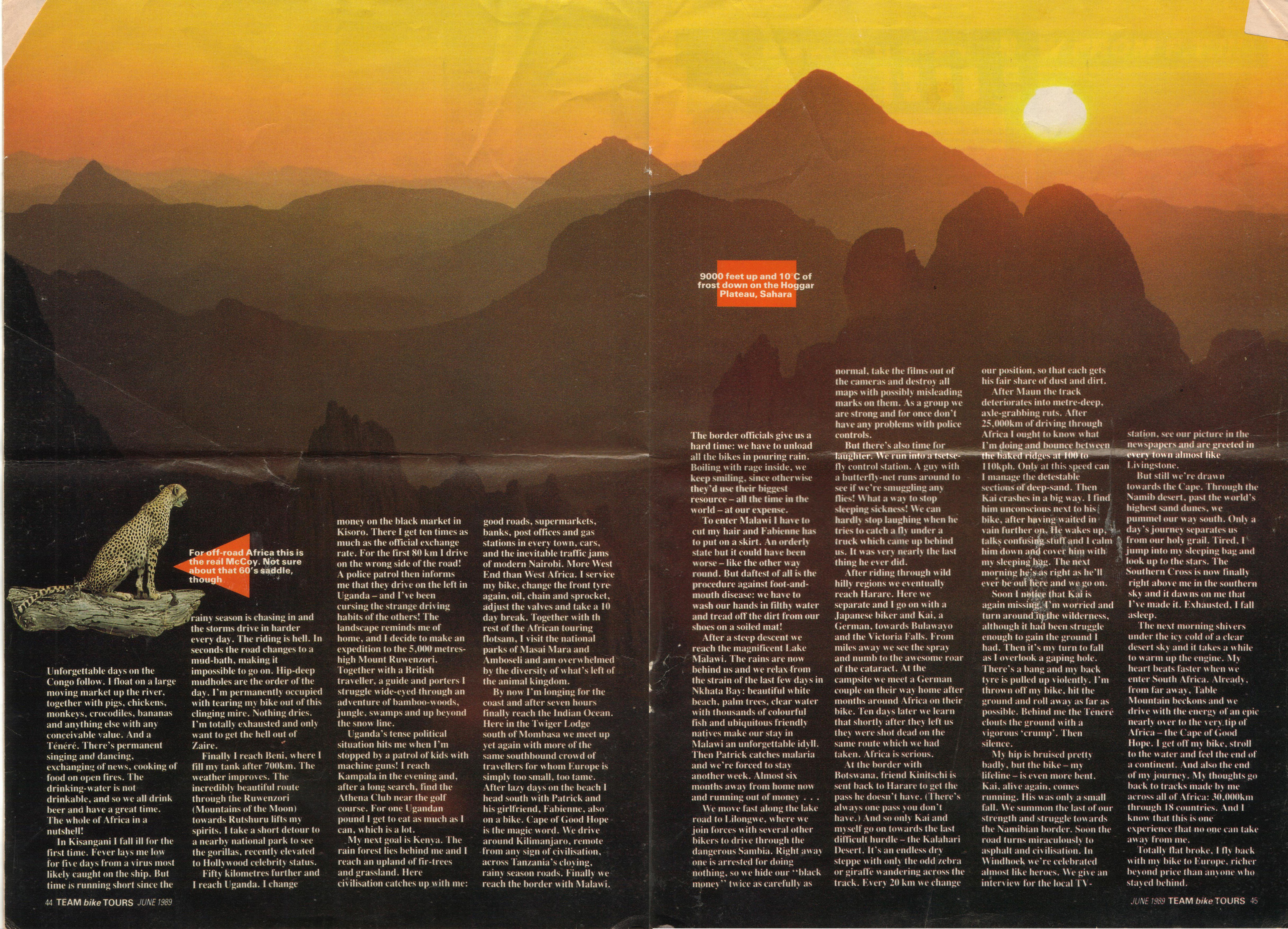
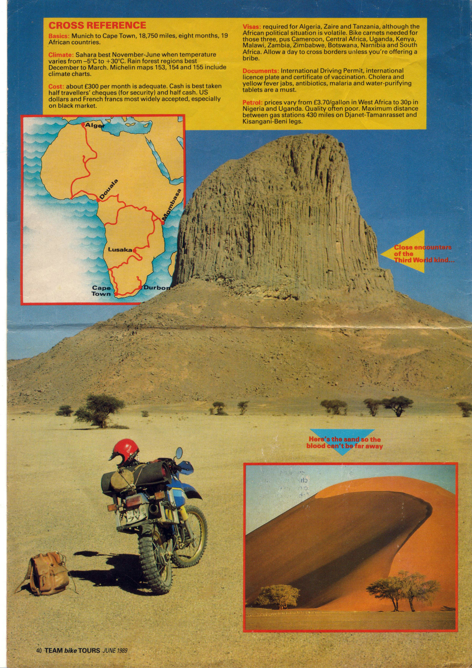
Y is for Yamaha: Trans-Africa, 1989

By Heinz Endler, from a Bike magazine supplement, June 1989.

af89-2
af89-3
af89-4
af89-5

‘G’ is for Greeves 250s across Western Sahara, 1973

Part of the Sahara A to Z series

And in summer, too. Slide show of a great story.
Music from Sona Jabarteh, among others.