
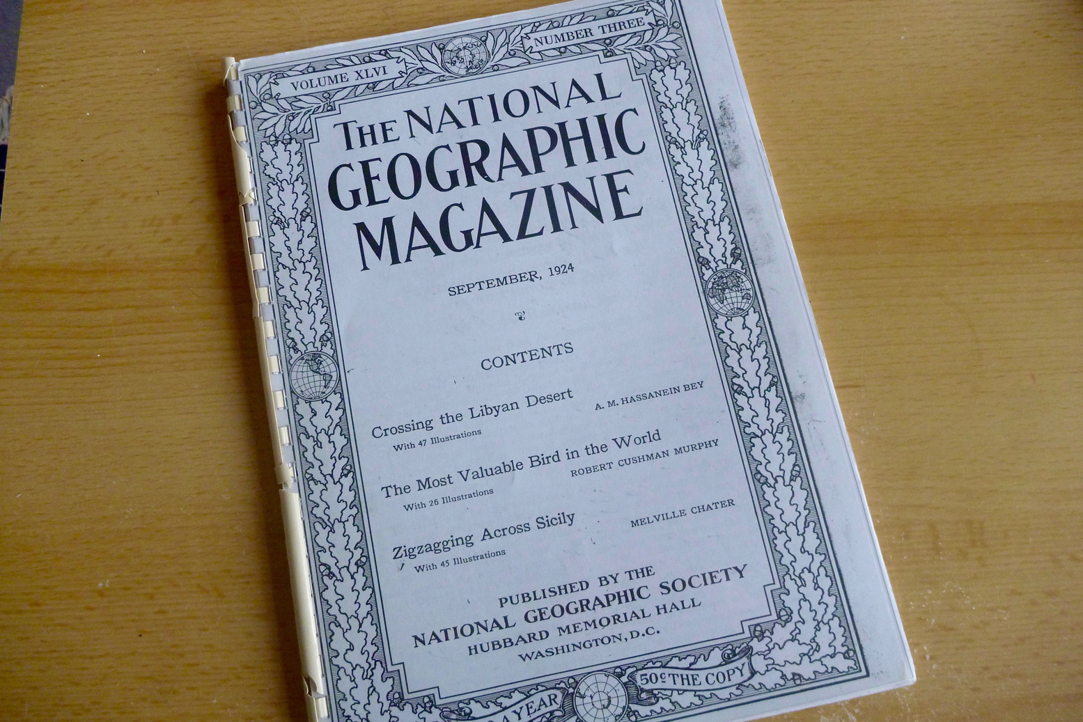
I recently read Ahmed Hassanein Bey’s 1924 National Geographic article about his six-month camel journey from Saloum on the Mediterranean to El Obied in the Sudan. (Read an online version here).
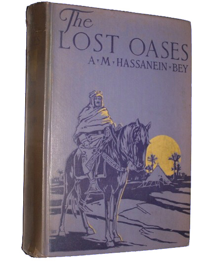
Two years earlier he’d travelled as far south as Kufra in sotheast Libya, then at that time the centre of the xenophobic Senussi sect. And in 1925 he published The Lost Oases which the NG article summarises and which is still available in print at normal prices.
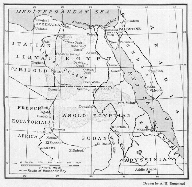
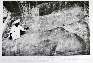
On that 2200-mile journey he located the ‘lost oases’ of Jebel Arkenu and Uweinat (see map above). At Jebel Uweinat he speculated correctly that the rock art depictions of animals he saw there must pre-date the 2000-year-old camel era which were not present in the imagery.

At one point in the latter half of the trip when the caravan is forced to travel at night to avoid the intense daytime heat, he describes how the guide navigated by the stars when there were no faint landmarks to aid orientation. It surprised me by being rather less intuitive and mysterious than I thought.
The manner in which a Bedouin guide finds his way across the desert at night is a source of wonder to the uninitiated. In a region which provides no familiar landmarks he depends solely on the stars. As we were proceeding in a south-westerly direction during most of our night trekking the pole star was at the guide’s back. He will glance over his shoulder, face so that the pole star would be behind his right ear, then take a sight on the start of the south in that line. He would march for perhaps five minutes with his his eye riveted on this star, then turn and make a new observation of the pole star for of course the star to the south was constantly progressing westward. He would then select a new staff of guidance and continue.
He goes on to explain that the technique floundered around dawn and dusk when the stars weren’t visible and at which point he took over with his compass.
Discover more from Sahara Overland
Subscribe to get the latest posts sent to your email.
