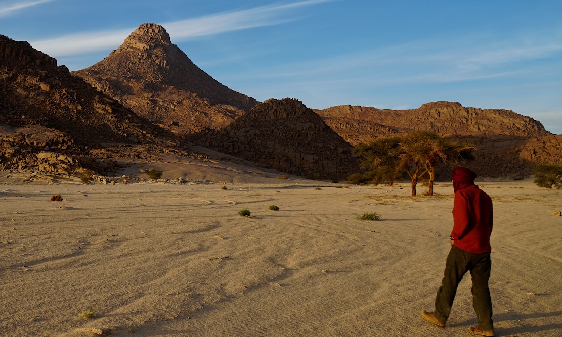
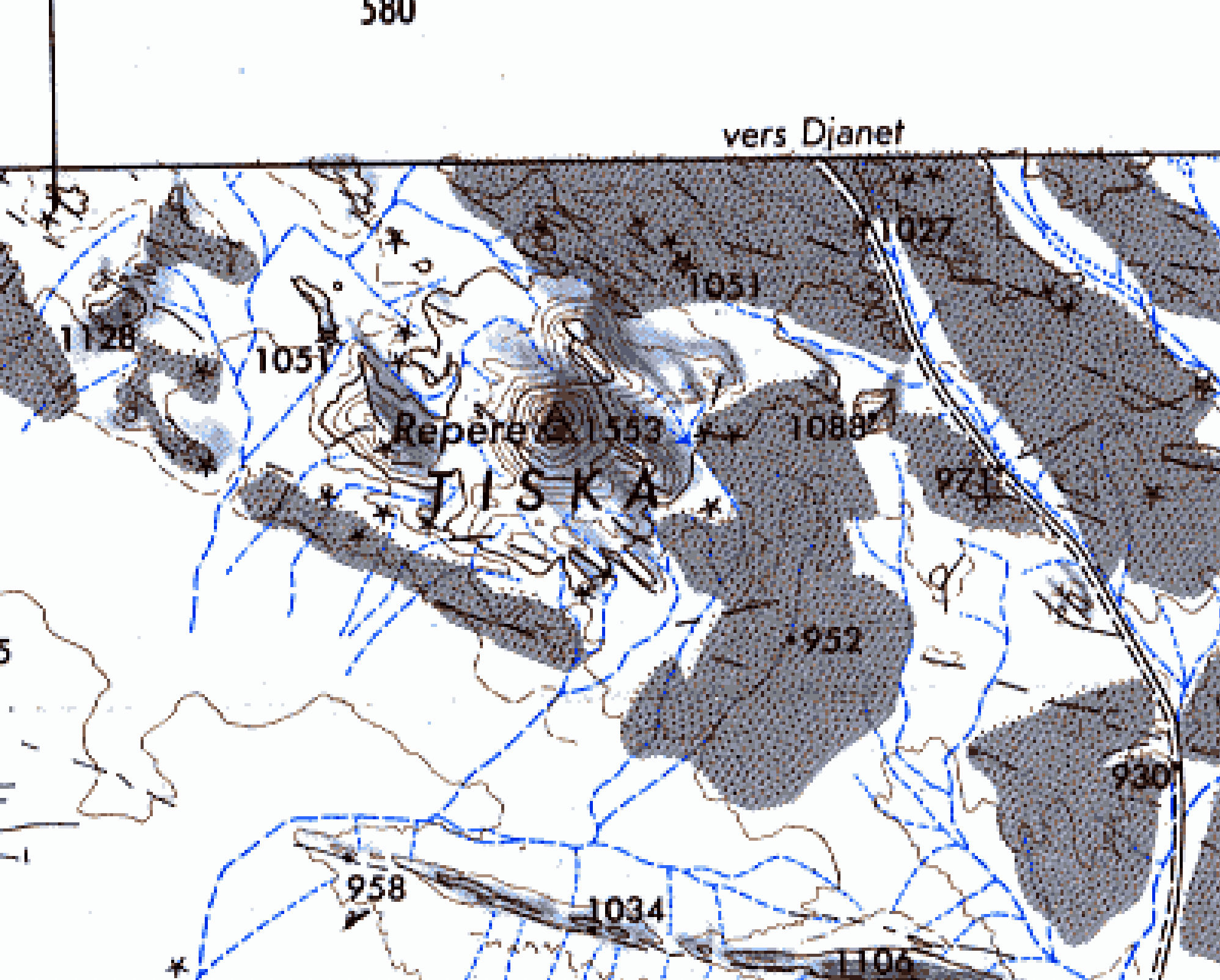
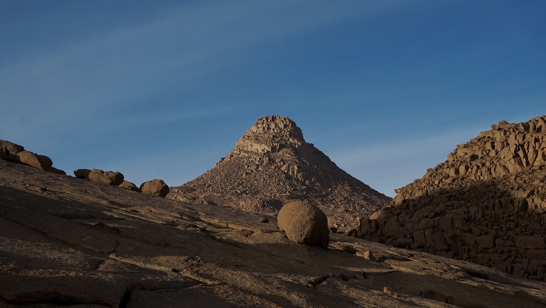
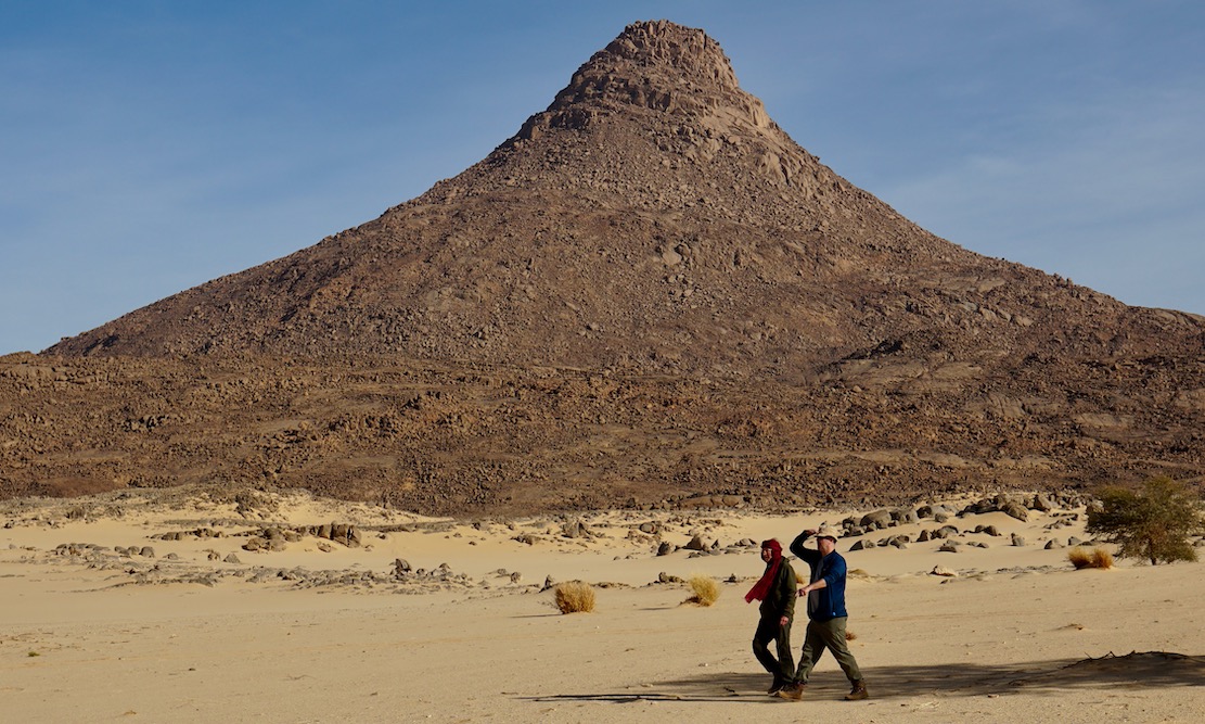
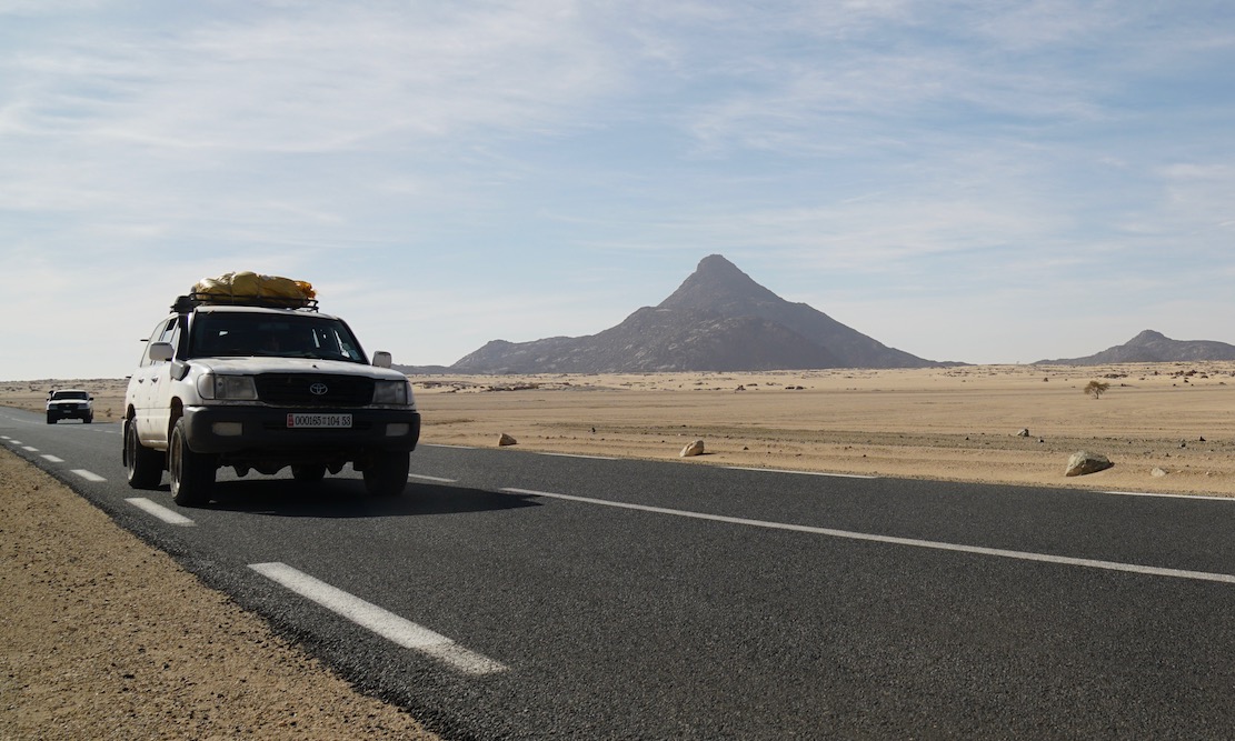
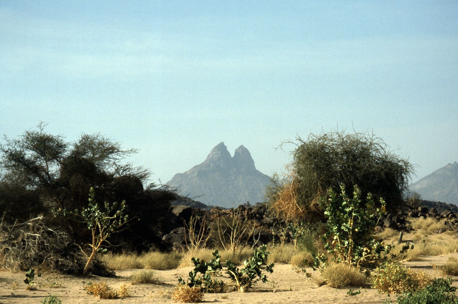
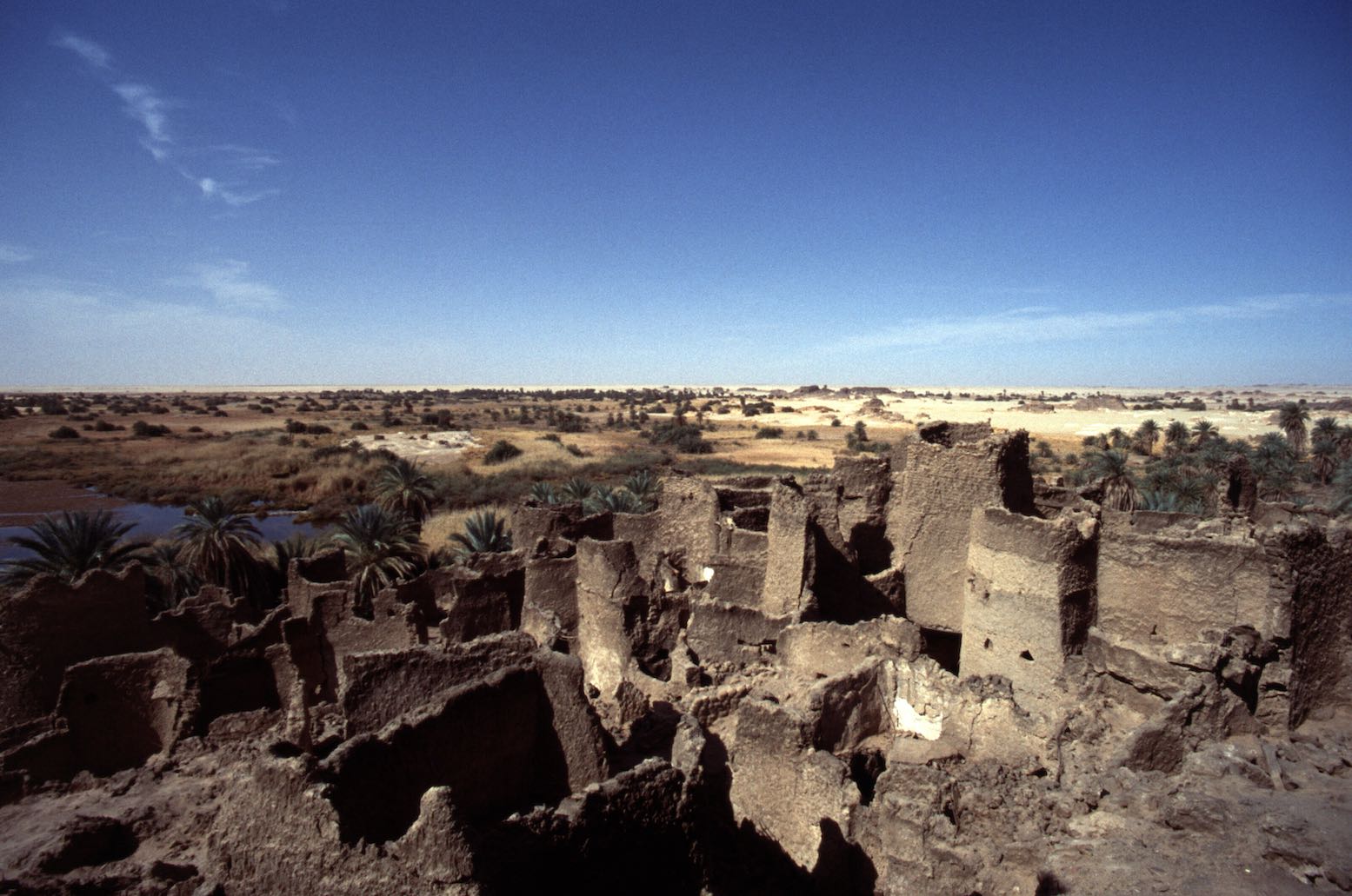
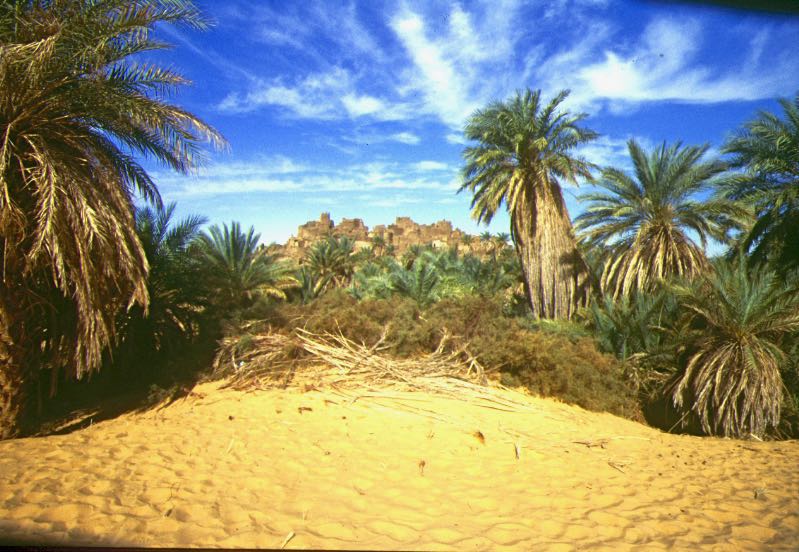
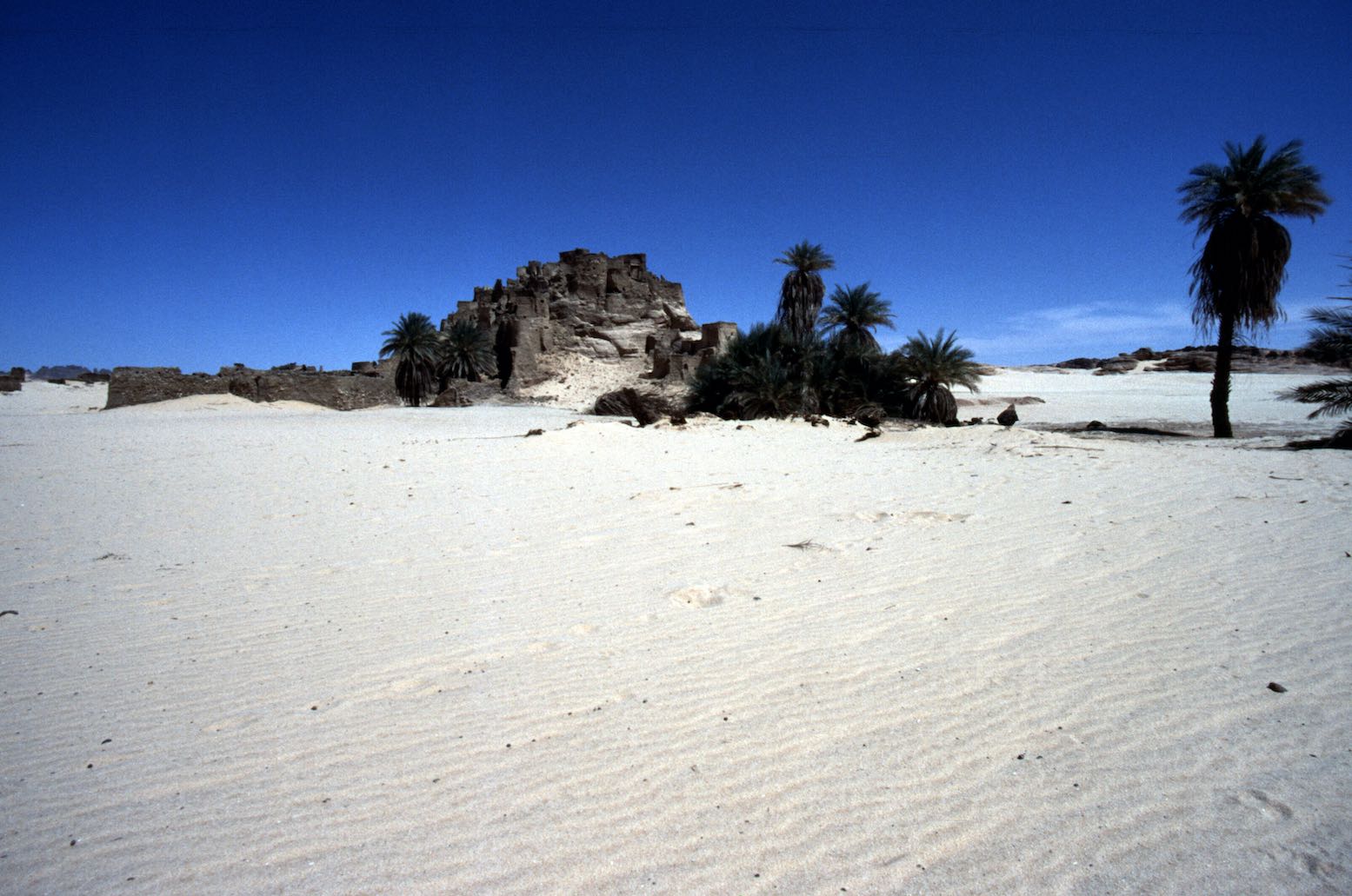
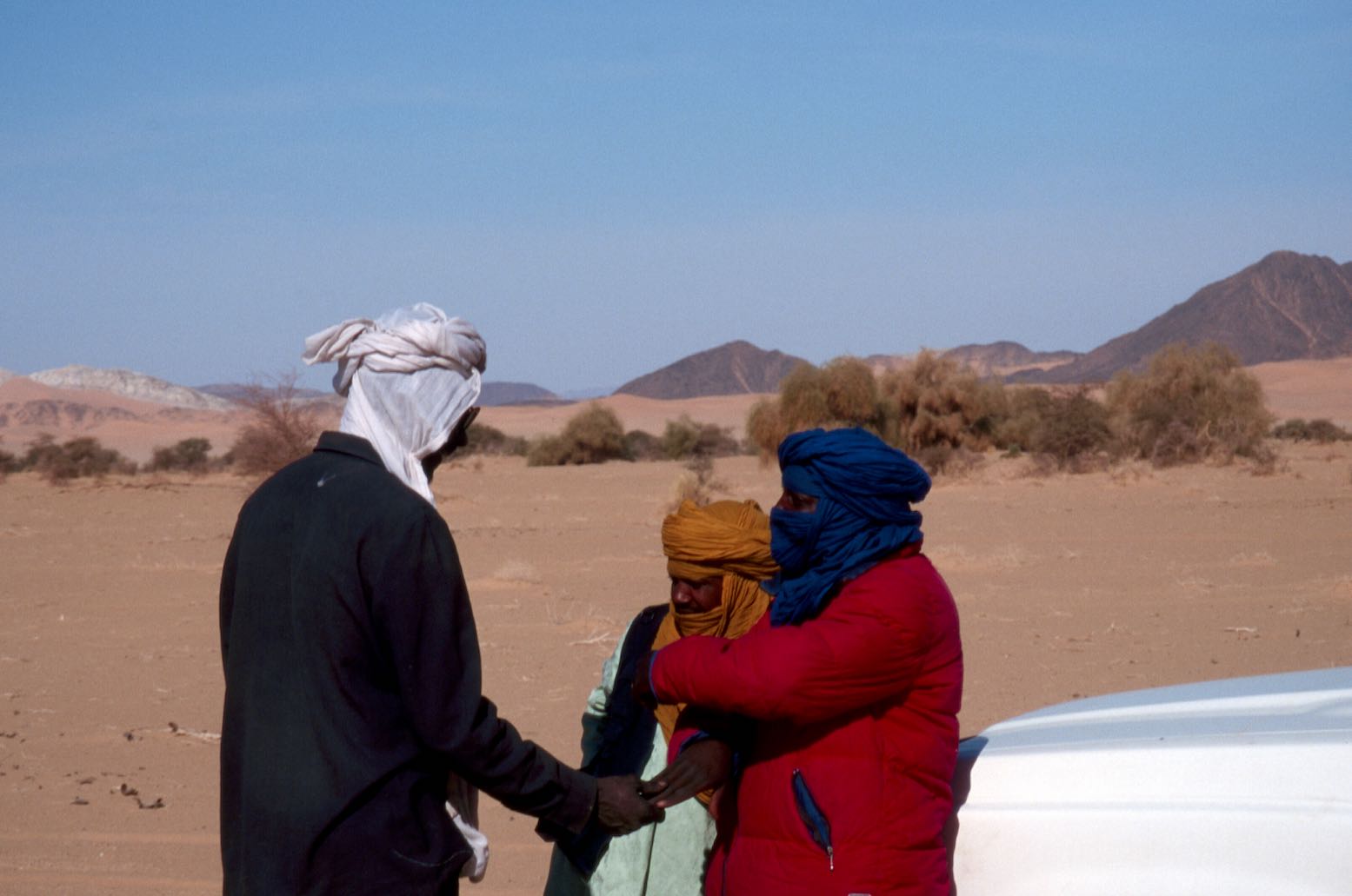
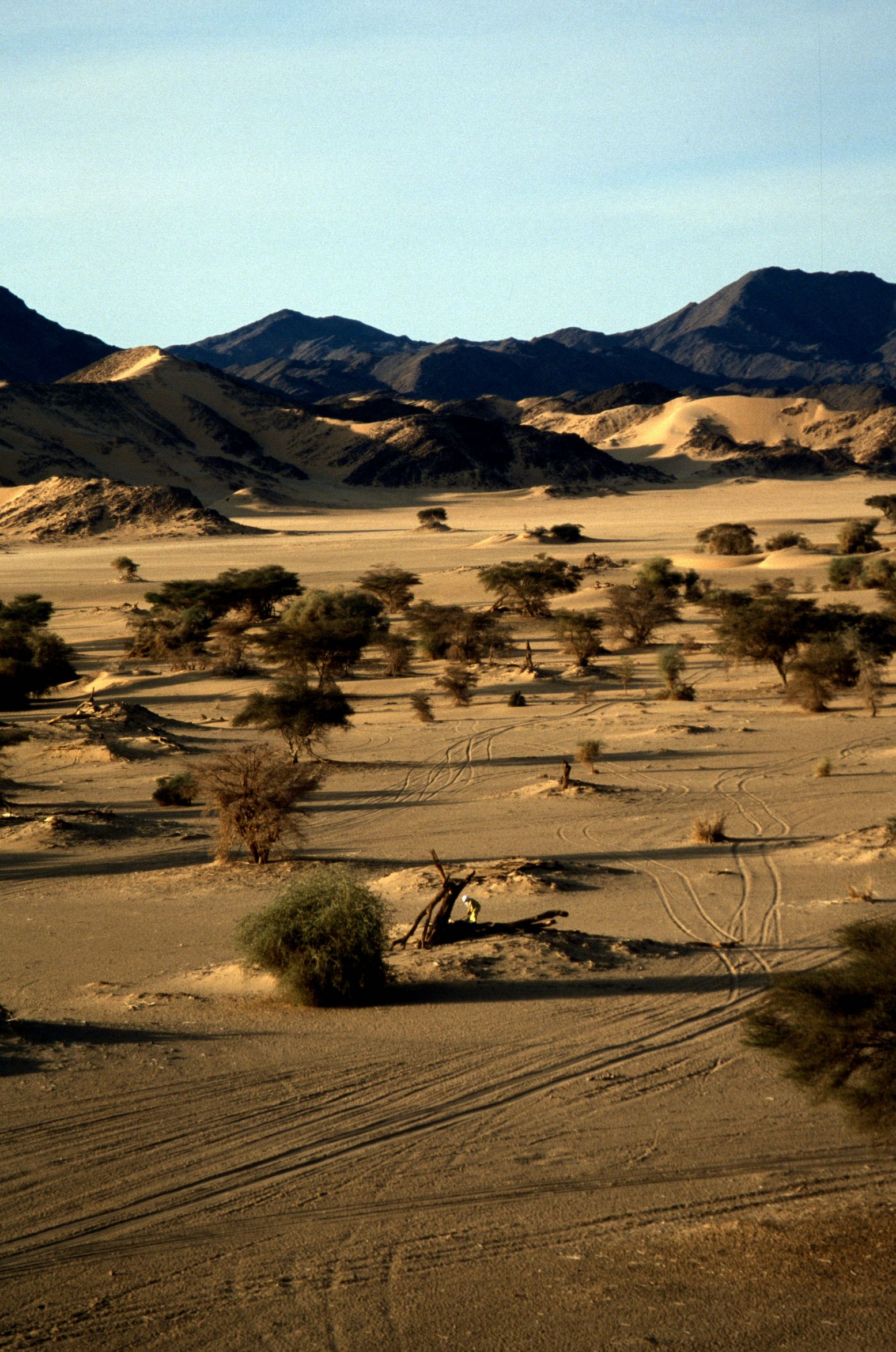
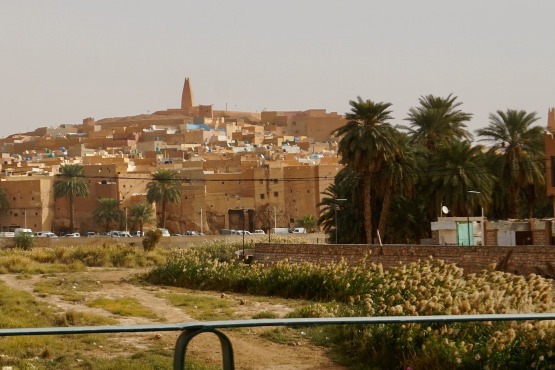
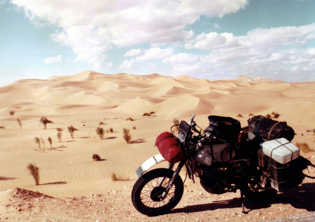
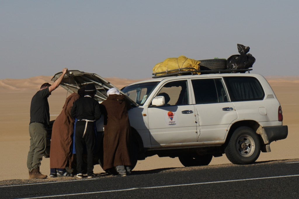
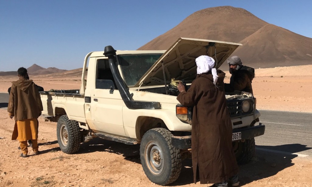
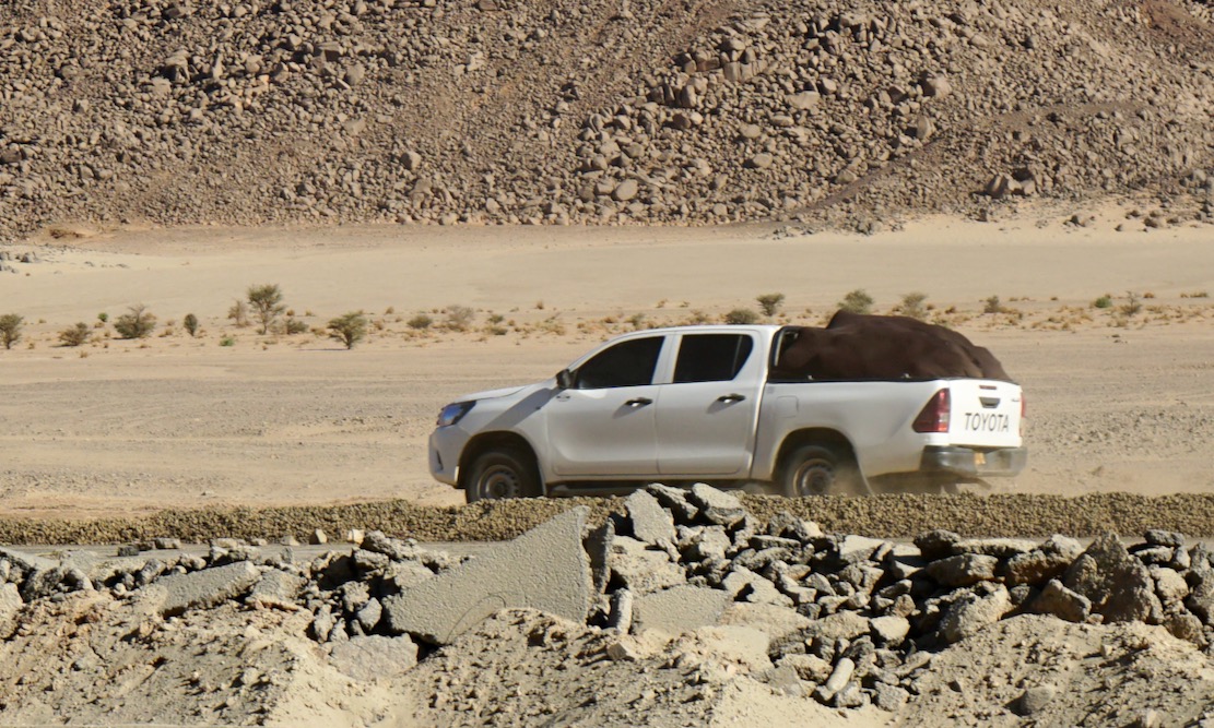
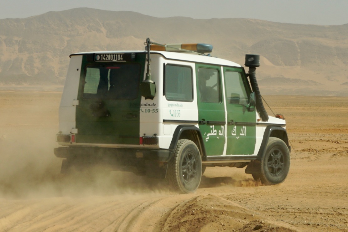
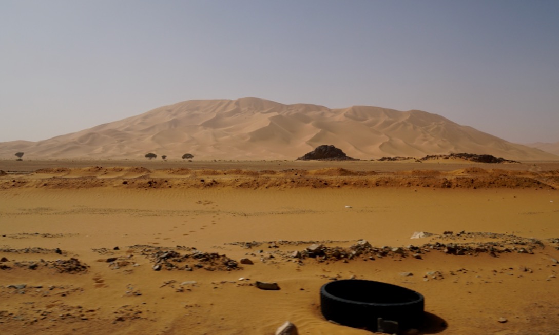
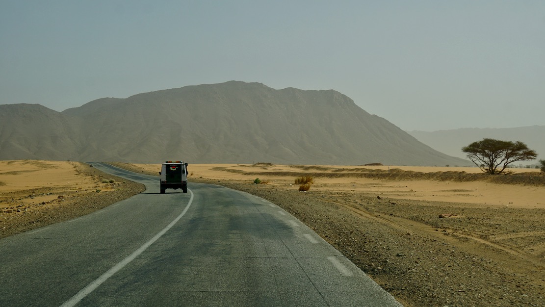
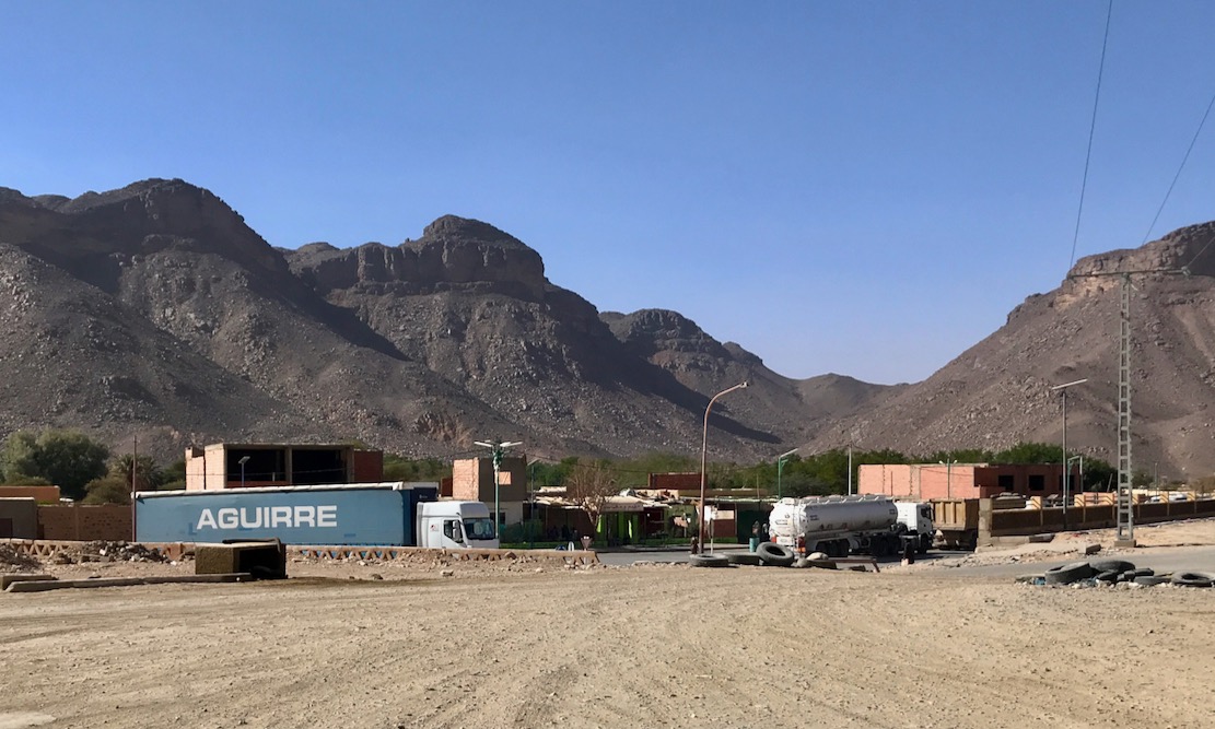
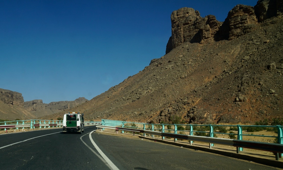
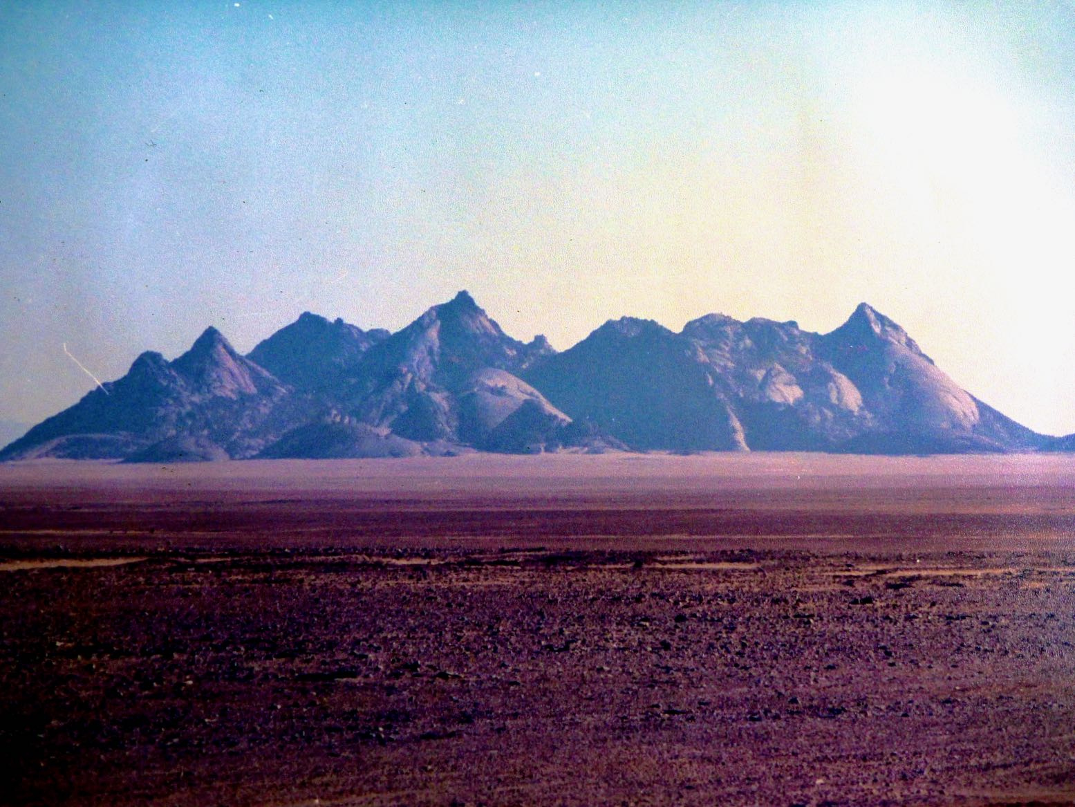
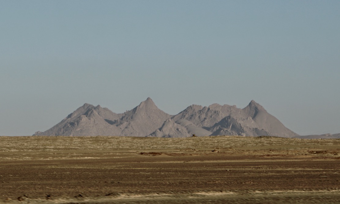
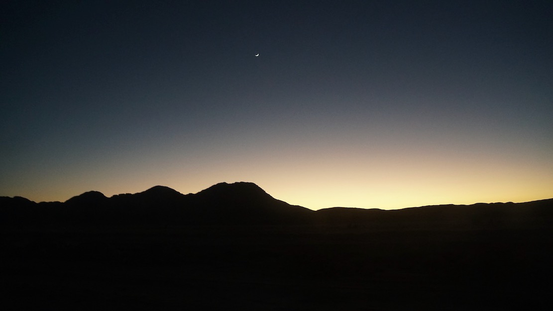
In early 2025 we pulled off a deserted new road and headed across the sands to camp at the foot of Mt Tiska. I’d been looking forward to this moment for nearly 40 years. My first view of Tiska’s distinctive but distant conical form was from Djanet’s old aerodrome way back in 1987. As I write in Desert Travels:
One evening Philippe, a skinny middle-aged Frenchman who had the habit of walking around the campsite in a saggy pair of Y-fronts, invited us to the airport to inspect his old aeroplane. He was immensely proud of his historic plane, a twin-engined machine from the Golden Age of Aviation. He was keen to point out the enlarged fuel tank which former owner, Lady Vanderbildt or some such, had fitted for a one-hop flight to the States as the war turned on Germany… Philippe started up the engines, but I was far more interested in the view down the runway. From this flat vantage point … south of Djanet you could clearly see the unmistakable conical profile of Mount Tiska … the first and only landmark in the featureless expanse which lead across the Ténéré to Chirfa and ultimately Bilma, nearly 900 kilometres away. A waterless expanse of flat, soft, sand, this was the route I’d planned to follow with the only partly cognisant Pete: Yamaha Teneres to the Tenere Desert: it could have been adventure biking gold until his breakdown near Illizi had sunk that idea. At that time I knew only a little more than Pete about the realities of remote desert crossings, and it’s no more likely we’d have made it to Bilma than if we’d tried to paddle to Tristan da Cunha in an upturned umbrella.
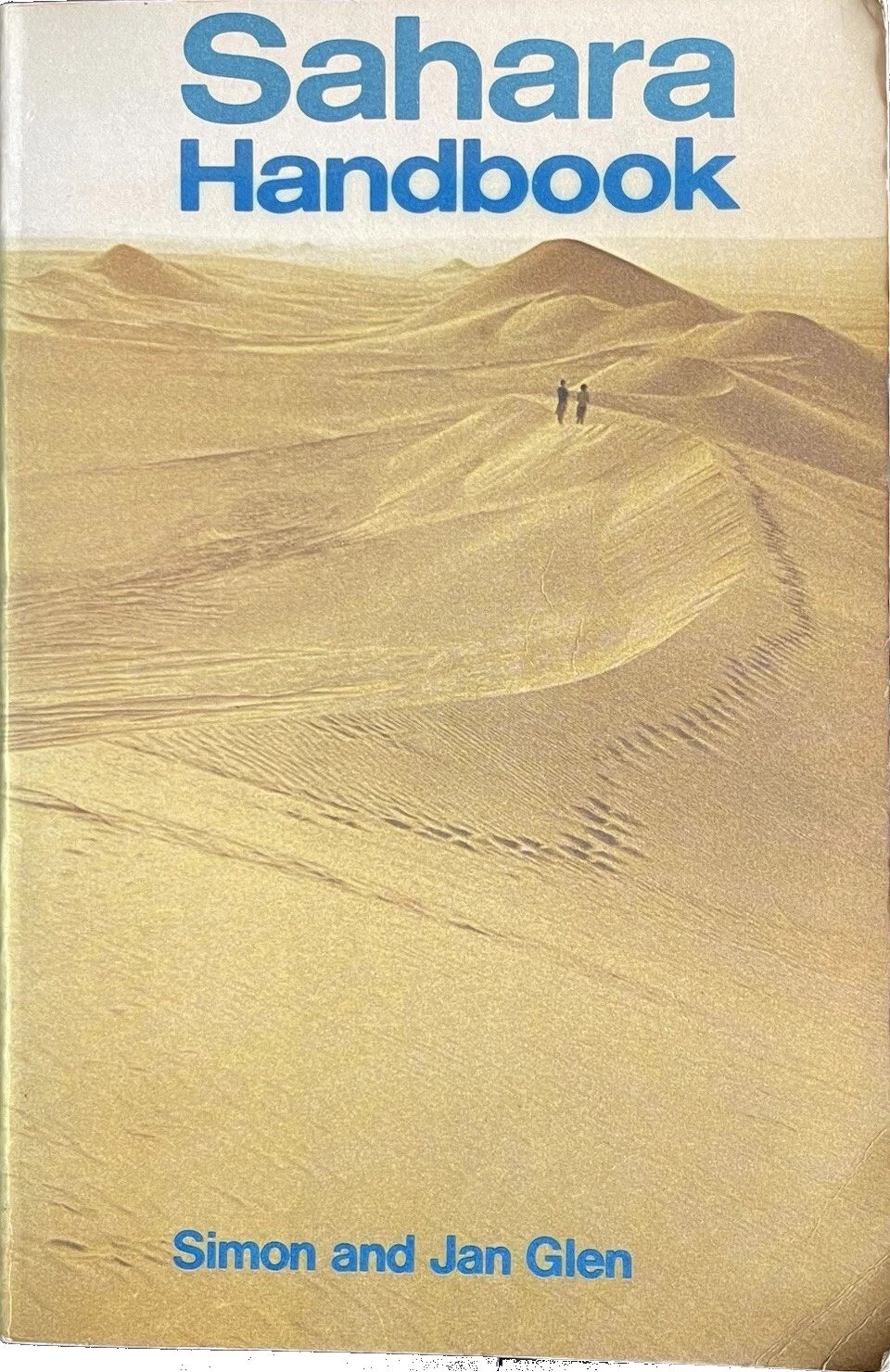
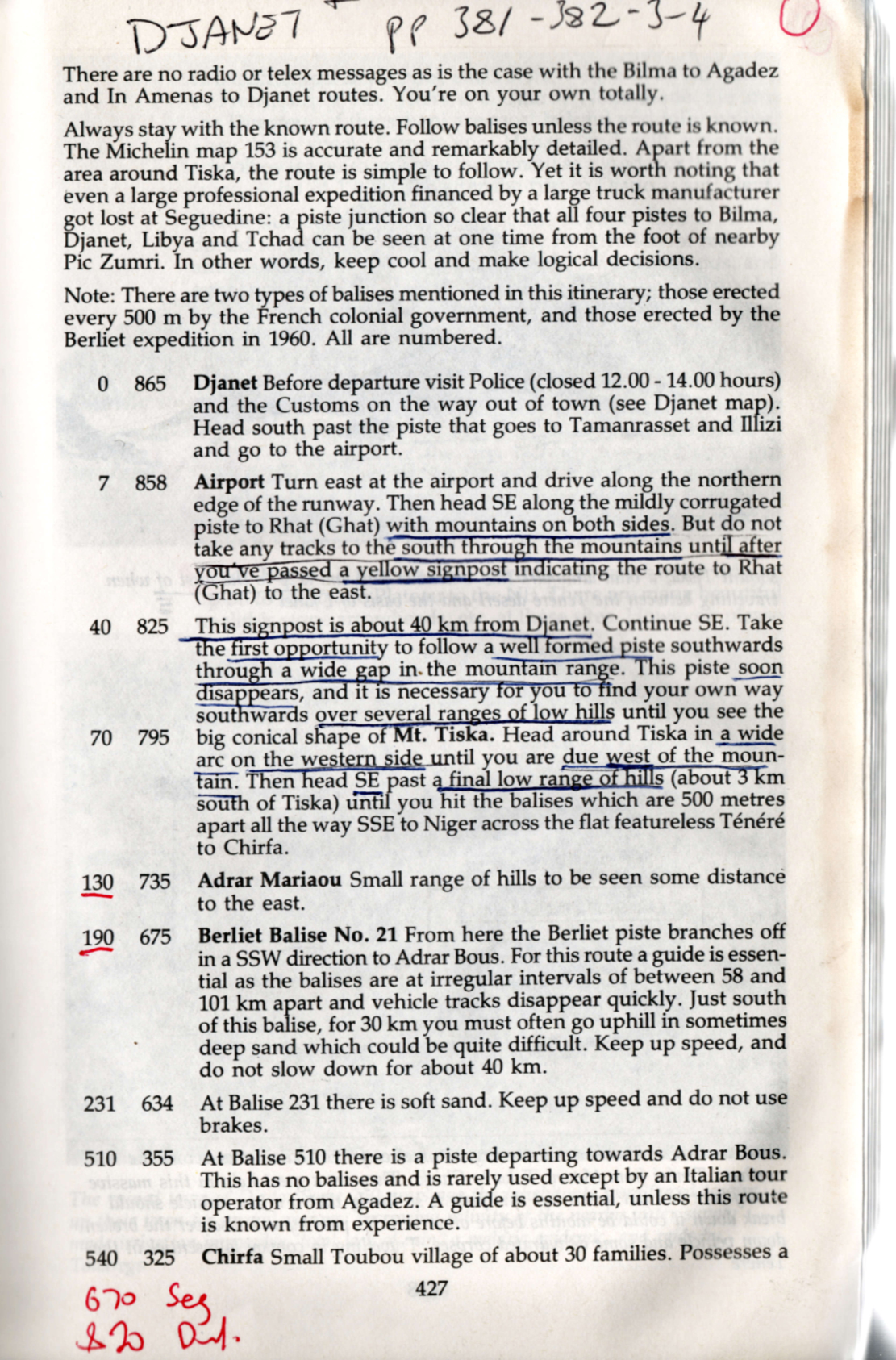
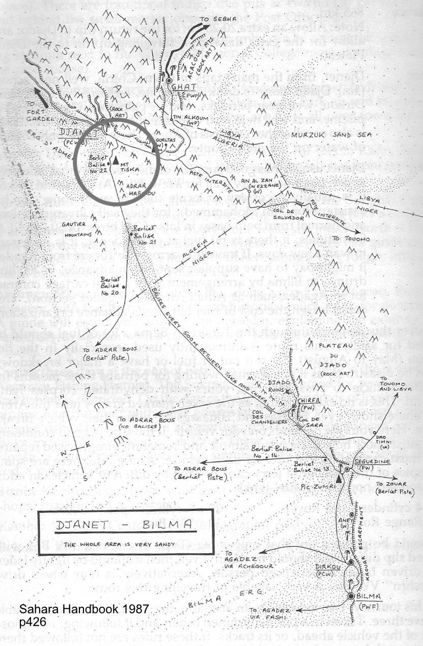
An ancient, pre-GPS landmark, I’d read of Tiska’s significance while leafing back and forth through the original Sahara Handbook (right) in the early 1980s. We all have books that leave strong impressions in our early years; the first SaharaHandbook would be high on my list. In it Simon and Jan Glen’s description of ‘Itinerary No. 19: Djanet – Bilma’, reads like call to adventure. You can see my annotated pages notes left, and might marvel at the sparse landmarks including Mt Tiska, with some spaced up to 200km apart. At no less than 865km, this was a serious desert crossing and the Glens did not mince their words.
To run out of fuel or have a major breakdown could be disastrous, as it could entail waiting for perhaps three months for another vehicle to pass and find tours with dehydrated corps lying around. This is no exaggeration, as the seven marked graves near Arbre du Ténéré show… Here your life depends on your vehicle. On leaving Djanet for the south, no authorities are interested in how well your vehicle is equipped … [nor] interested in whether you make the journey or not. There are no radio of telex messages as in the case with Bilma to Agadez and In Amenas to Djanet routes. You’re on your own totally.
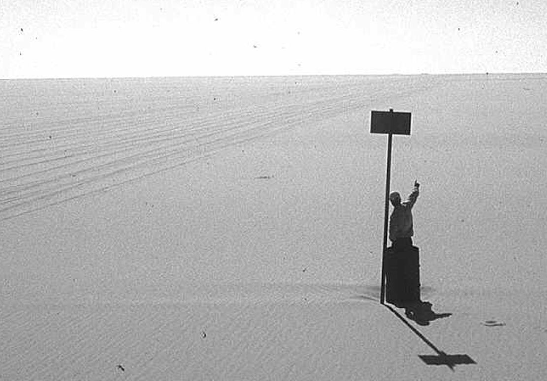
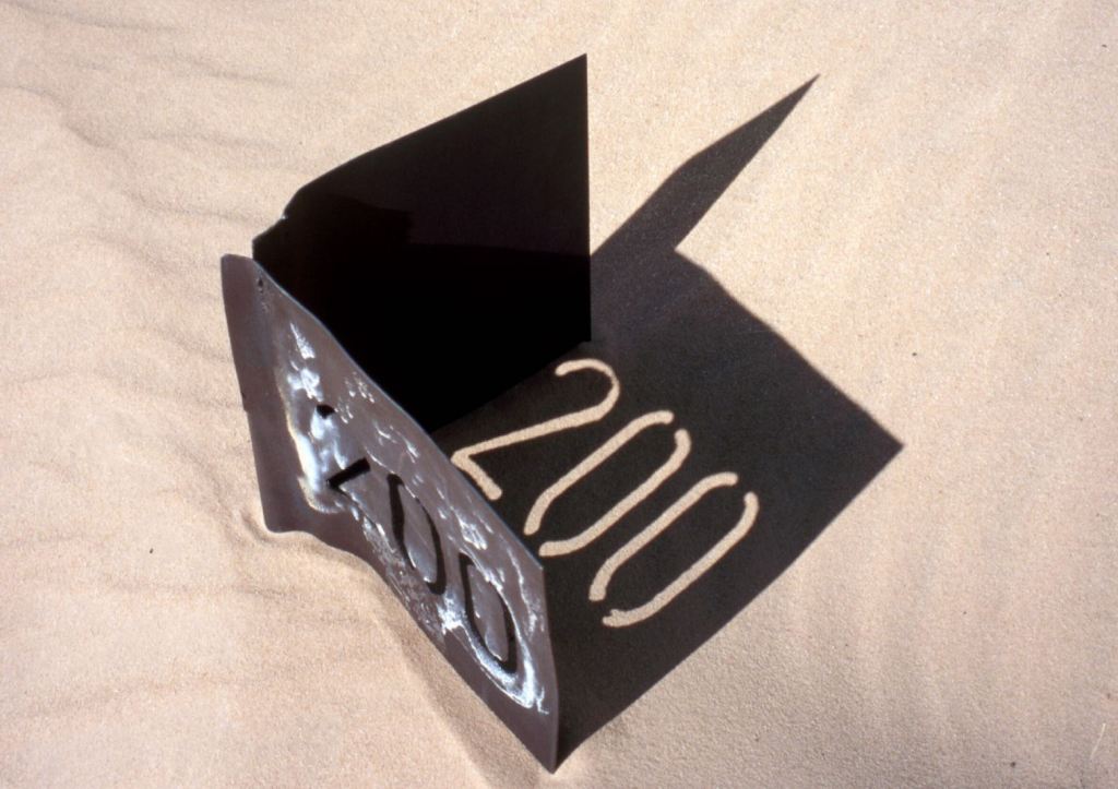
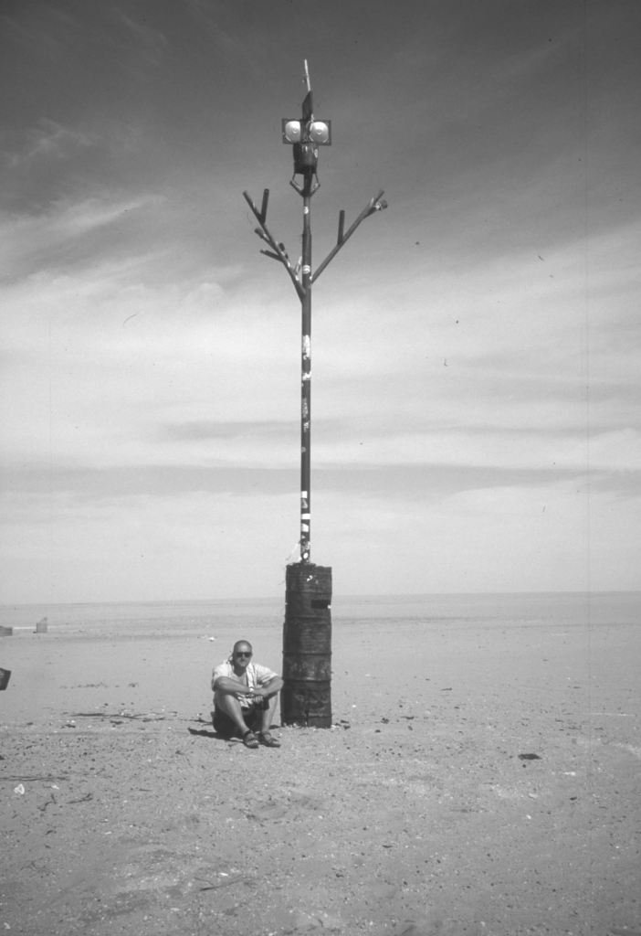
By the time that was written (final edition three, 1990) the piste to Bilma was little used. It’s said that in 1979 four Land Rovers were lost without trace on this route, and as a result the Algerians closed the crossing and pulled up many of the balises (three-metre-high steel marker posts, below) which the French had erected every 500m from Mt Tiska to Chirfa, the first outpost in Niger and a distance of nearly 600km. That information was not known to Pete and myself when in 1987 we set off with plans to blithely ride across the Tenere from Djanet to Niger on Yamaha XT600Z Tenere motorcycles. It was a very long way on a bike, but with a balises every half kilometre, it felt doable providing we had visibility and could carry enough fuel and water.
About 1200 of these balises once marked the entire Tiska–Chirfa crossing, like buoys at sea. You can just see the next one, 500m in the distance.
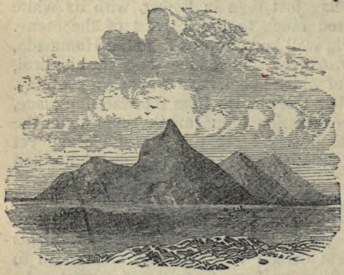
Coming up from Niger, the cone of Mt Tiska (and larger mass of Adrar Mariaou 34km to the south) had long been important landmarks on the caravan route between Ghat and Agadez. In 1860 Heinrich Barth wrote.
August 2 … After a stretch of nine miles, an interesting peak called Mount Tiska, rising to an elevation of about six hundred feet, and surrounded by some smaller cones, formed the conspicuous limit of the rocky ridges. The country became entirely flat and level … and there was nothing to interrupt the monotonous plain but a steep ridge, called Mariaw, at the distance of about five miles to the east [probably Adrar Mariaou; 34km south]. The nature of this desert region is well understood by the nomadic Tuarek or Imóshagh, who regard the Mariaw as the landmark of the open, uninterrupted desert plain, the “ténere;” .
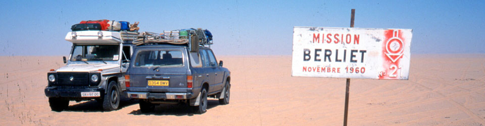
But in 1987 Pete didn’t even make it to Djanet on his Tenere. And soon after I arrived I learned what I now know. Since that aborted crossing, I’ve met others who tackled the route anyway and either got in big trouble in Dirkou in Niger (2001), or got brutally robbed before they even made it to the Niger cut line (2002; probably following a tip off in Djanet). Also in 2002, we came up the balise line from Erg Killian, the Monts Gautier and Berliet Balise 21 (below), but from Mariaou headed directly to Djanet across the very soft sands, bypassing Tiska.
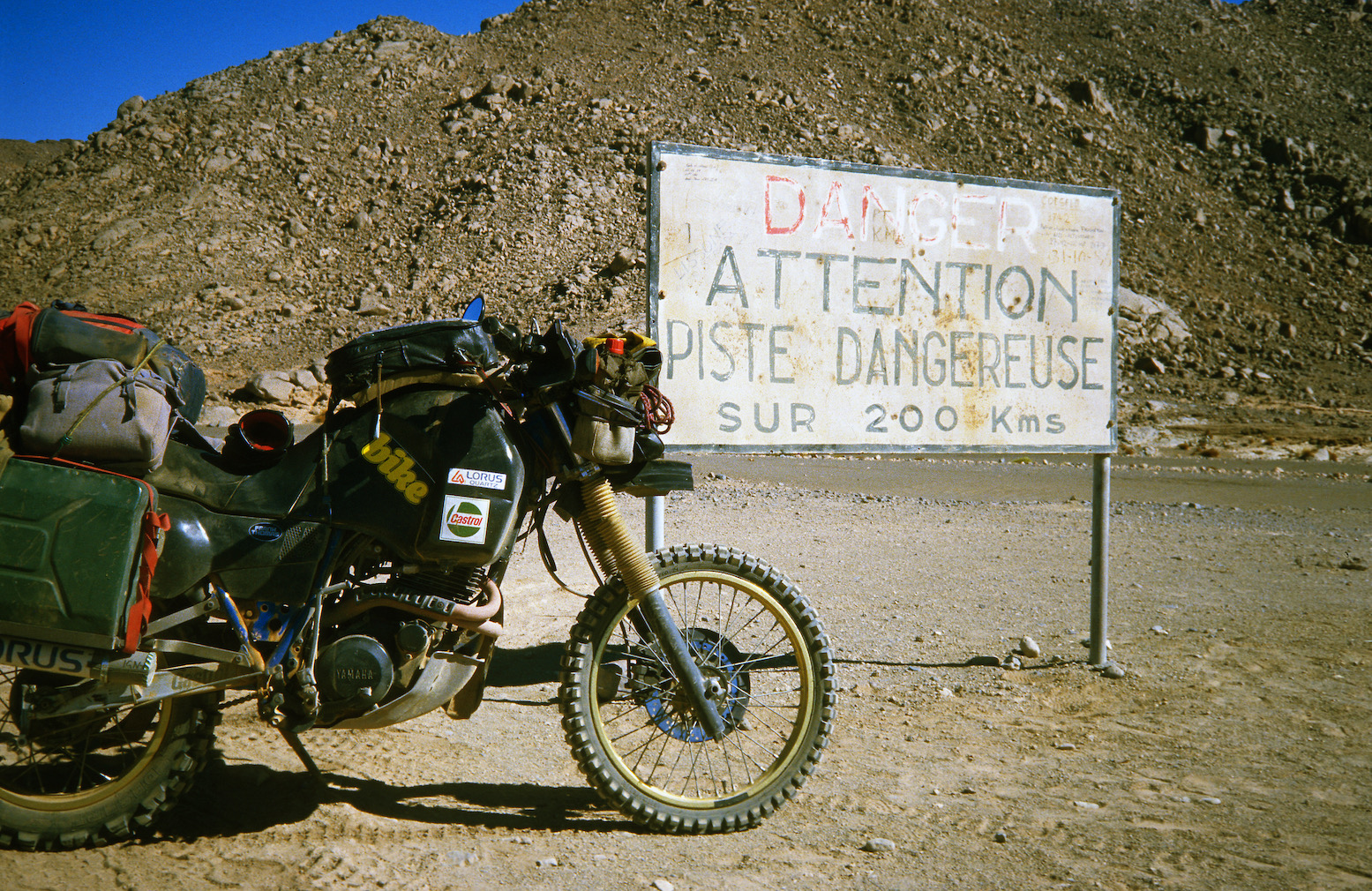
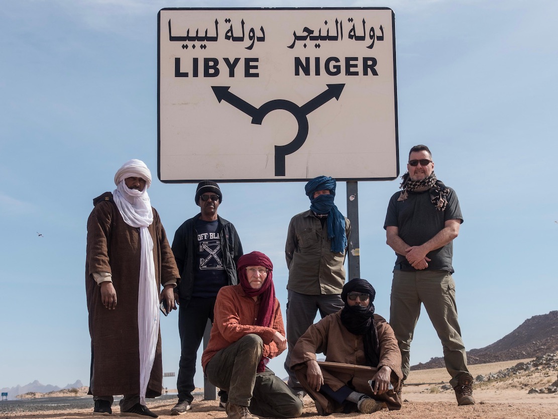
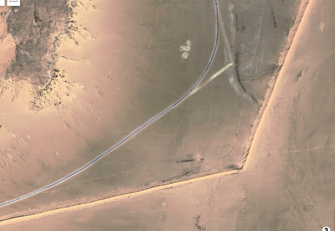
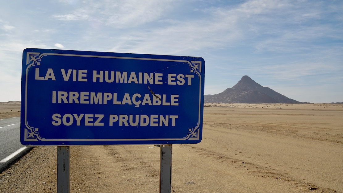
Today, an hour or two from Djanet a tarmac road leads off a roundabout in the middle of nowhere near the famous sign (left) and heads south to pass right by Tiska.
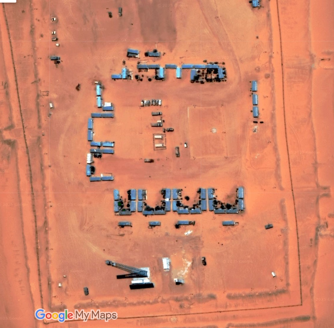
It’s part of a vast network of military roads, remote bases or perhaps migrant camps or prisons, and berms (sand walls) which Algeria has put up in the deep south to control smuggling, migration and jihadist movements.
BaseSand berm and border road
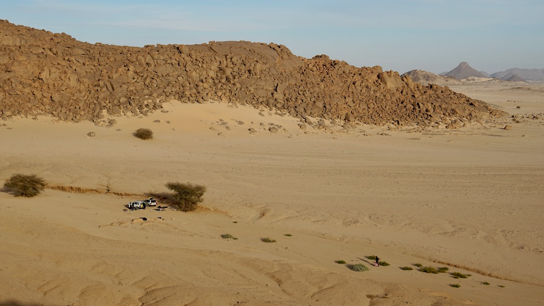
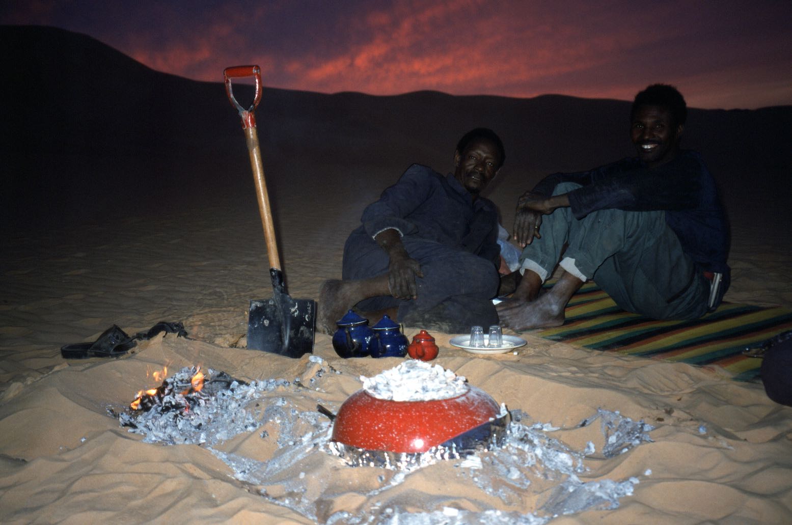
We pulled into a sheltered dip at the southern edge of the hill (below) and the cook got a fire going. Normally I’d have at least tried to climb to the top but at 500m above the desert floor, Tiska is bigger than it looks, one of the last outliers of the Tassili N’Ajjer before the ocean of sand that is the Tenere runs south to the Kaouar hills behind Bilma and the isolated Termit massif which is already in the Sahel, close to Lake Chad.
It was sure nice to stretch the limbs after being cooped up in the car for days, but it’s these cars which get us to such places. As always walking in the desert, it’s the tiniest things which catch your eye in the void.
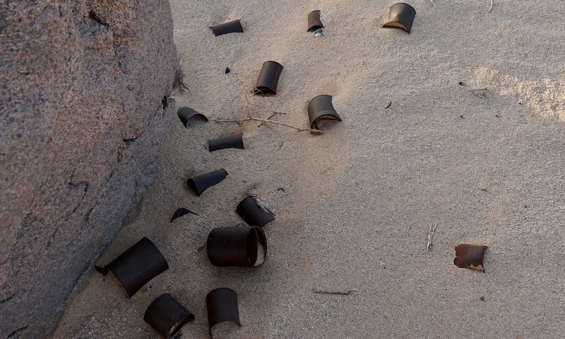
A trove of tin cans dumped by who knows who and who knows when. Anywhere else they’d be rubbish.
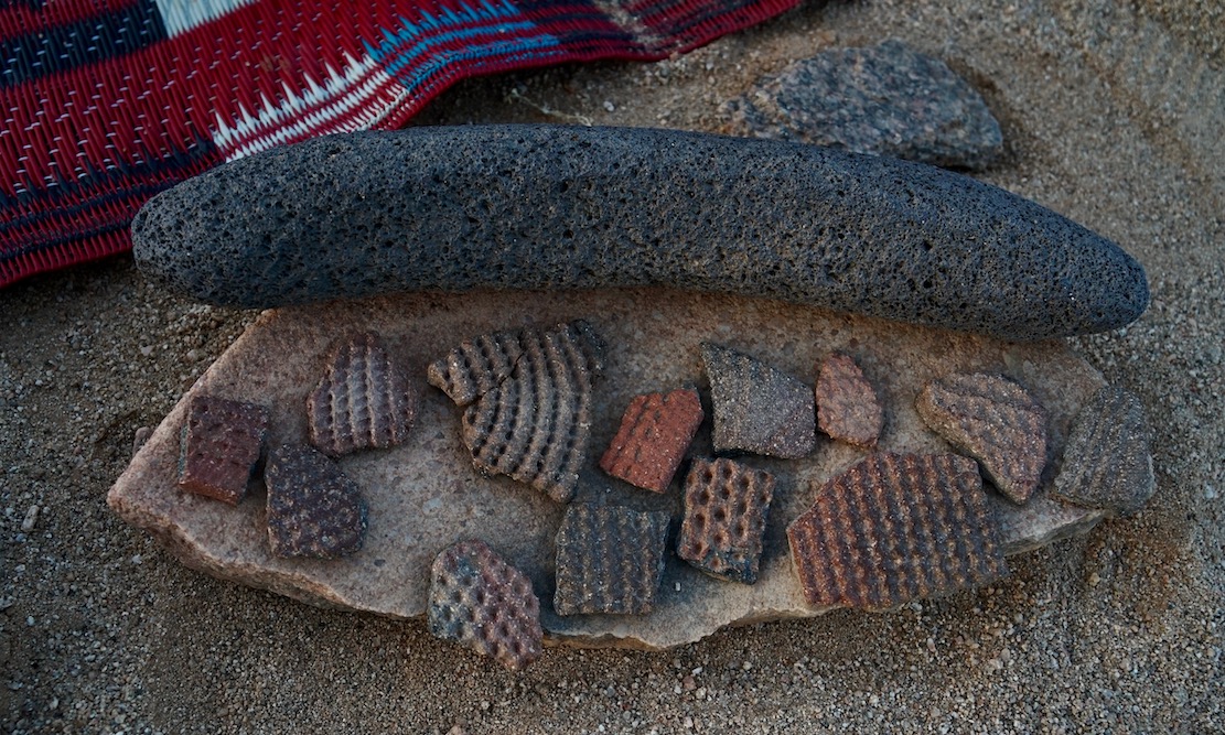
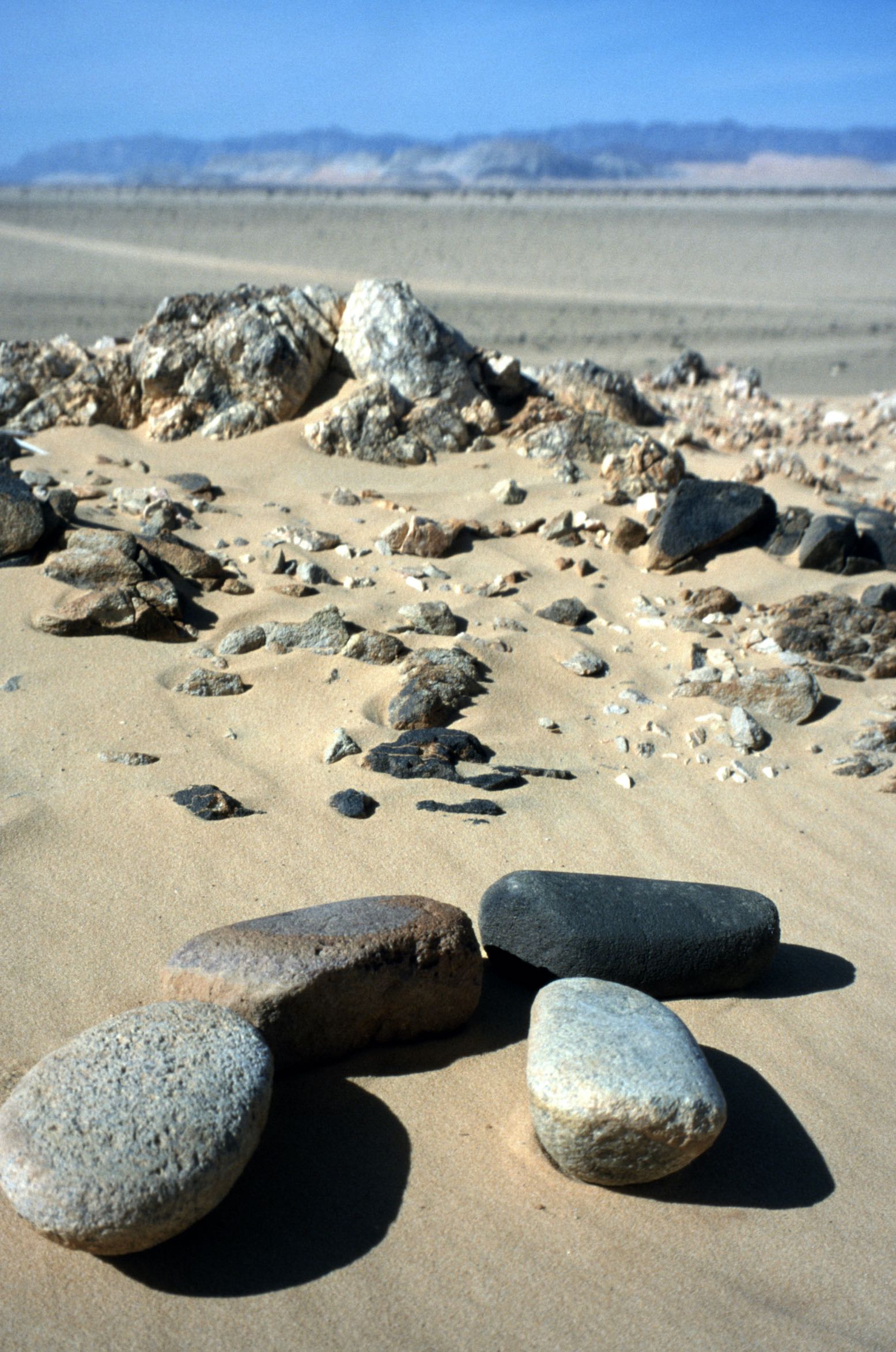
More rubbish perhaps dating back to the Neolithic era or earlier when the Sahara was less arid. Ceramic pottery fragments (commonly found) and some sort of grinding tool I’ve not seen before.
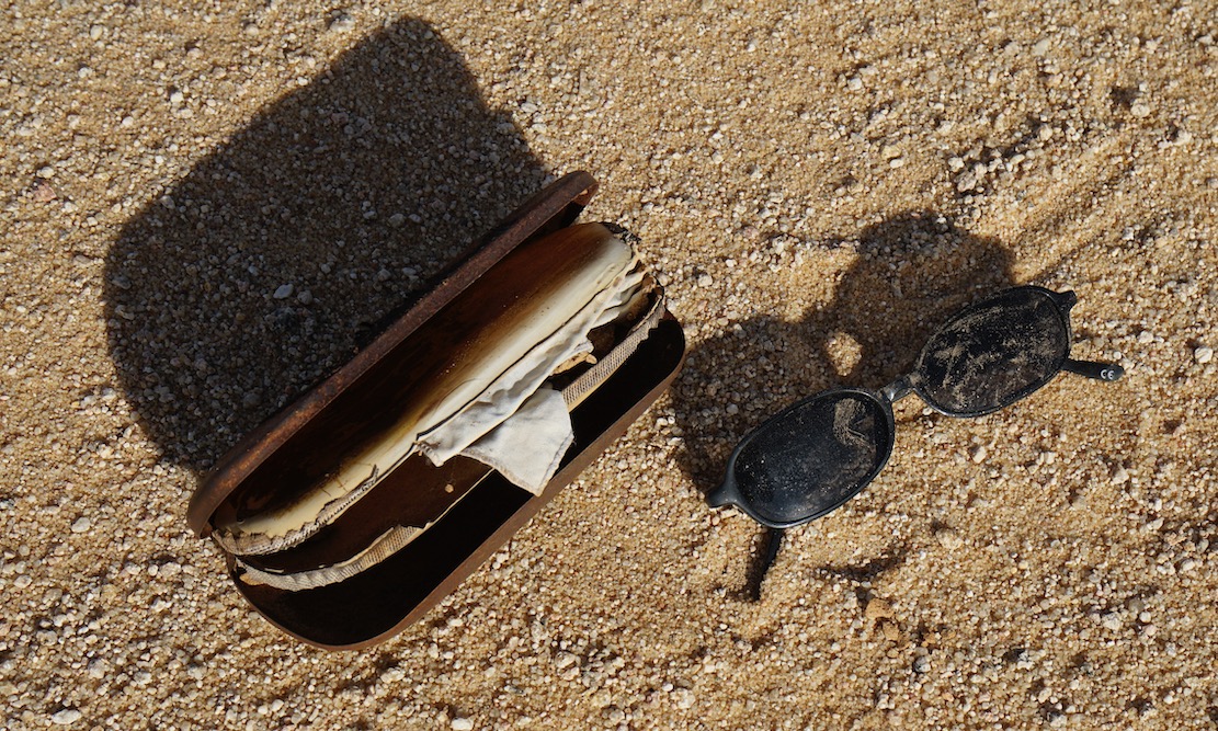
Cheap shades probably dropped by a migrant heading north to the Libyan border and a boat to Europe. Long before the current waves we met lines of migrants way back in in 2002, boldly marching over the Tassili towards Ghat.
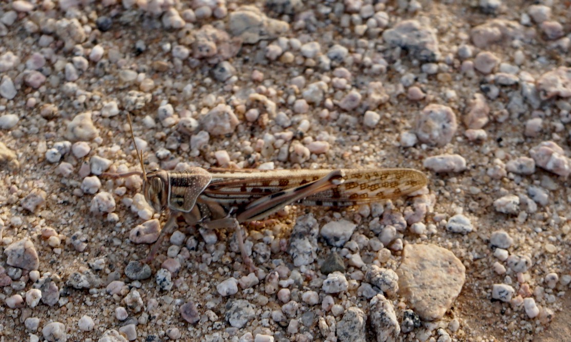
A locust takes a breather
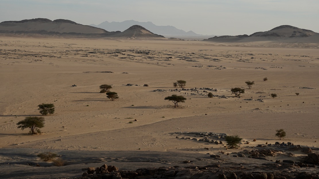
In the foreground the balise line used to start just beyond the ridge. And on the horizon, the mass of Adrar Mariaou and the piste to Chirfa in Niger.
The granite cone of Tiska. I could run a tour in south Algeria hoping from one granite T-mountain to the next.
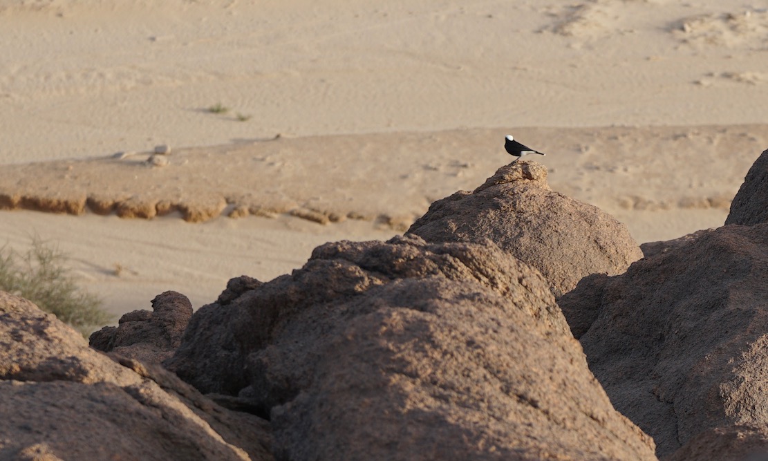
Moula Moula bird, the pigeon of the Sahara.
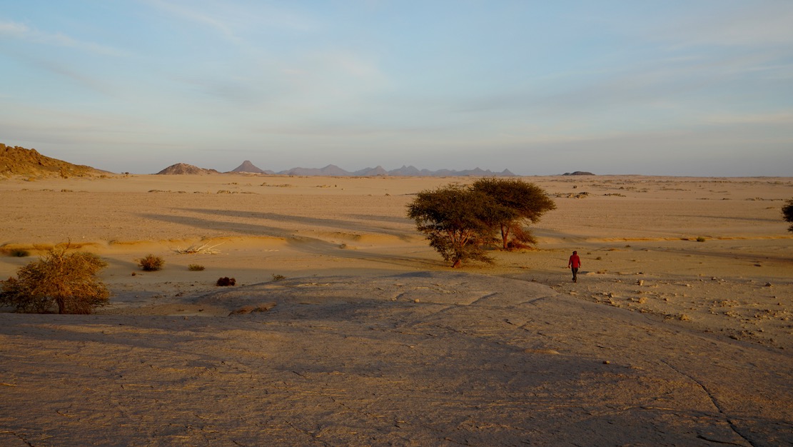
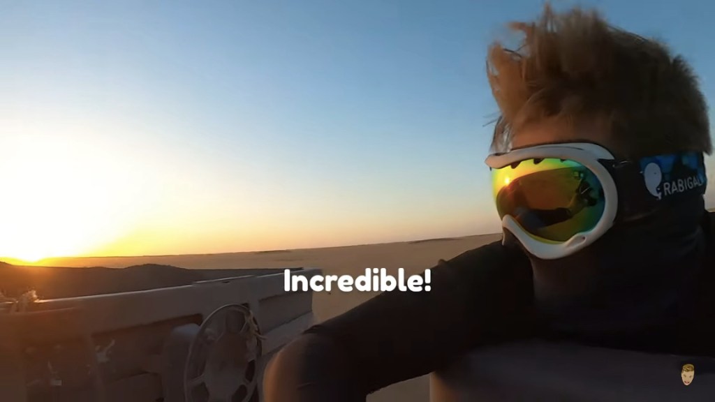
Sunset across the desert sands
Next morning the three of us set off to walk around the mountain while the crew pack up and catch us up. We carried on clockwise round the mountain, into a hidden bandit valley on the north side, and then back to the road.
Heading back to Djanet after a night out on Mt Tiska.
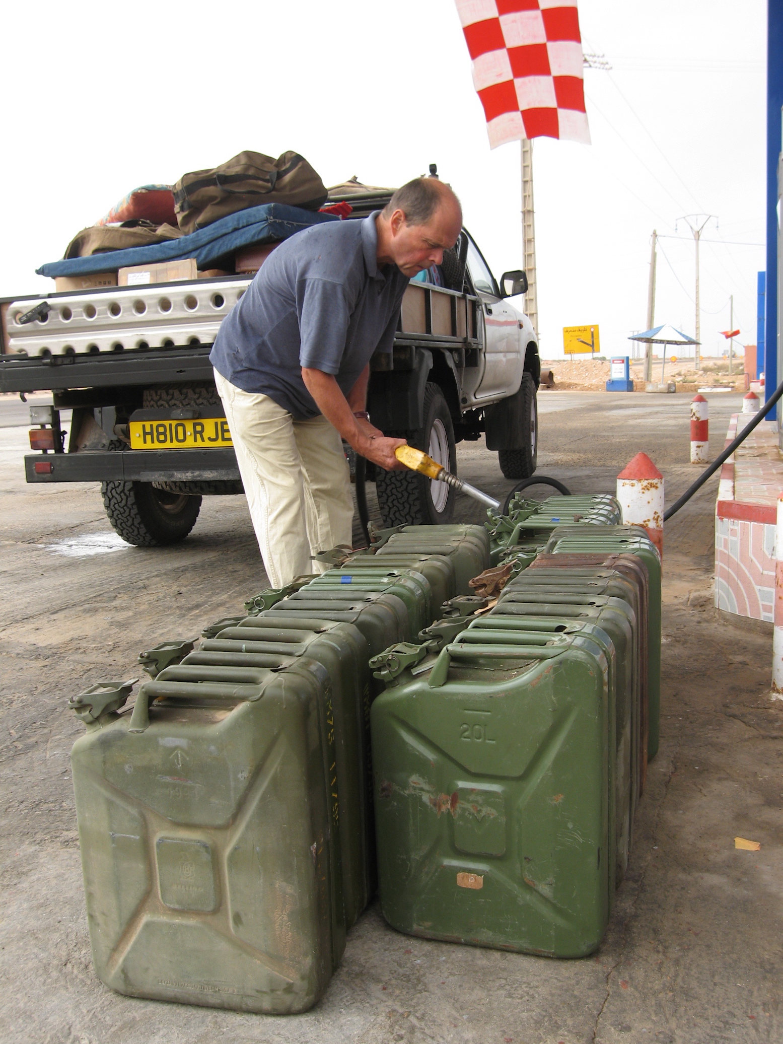
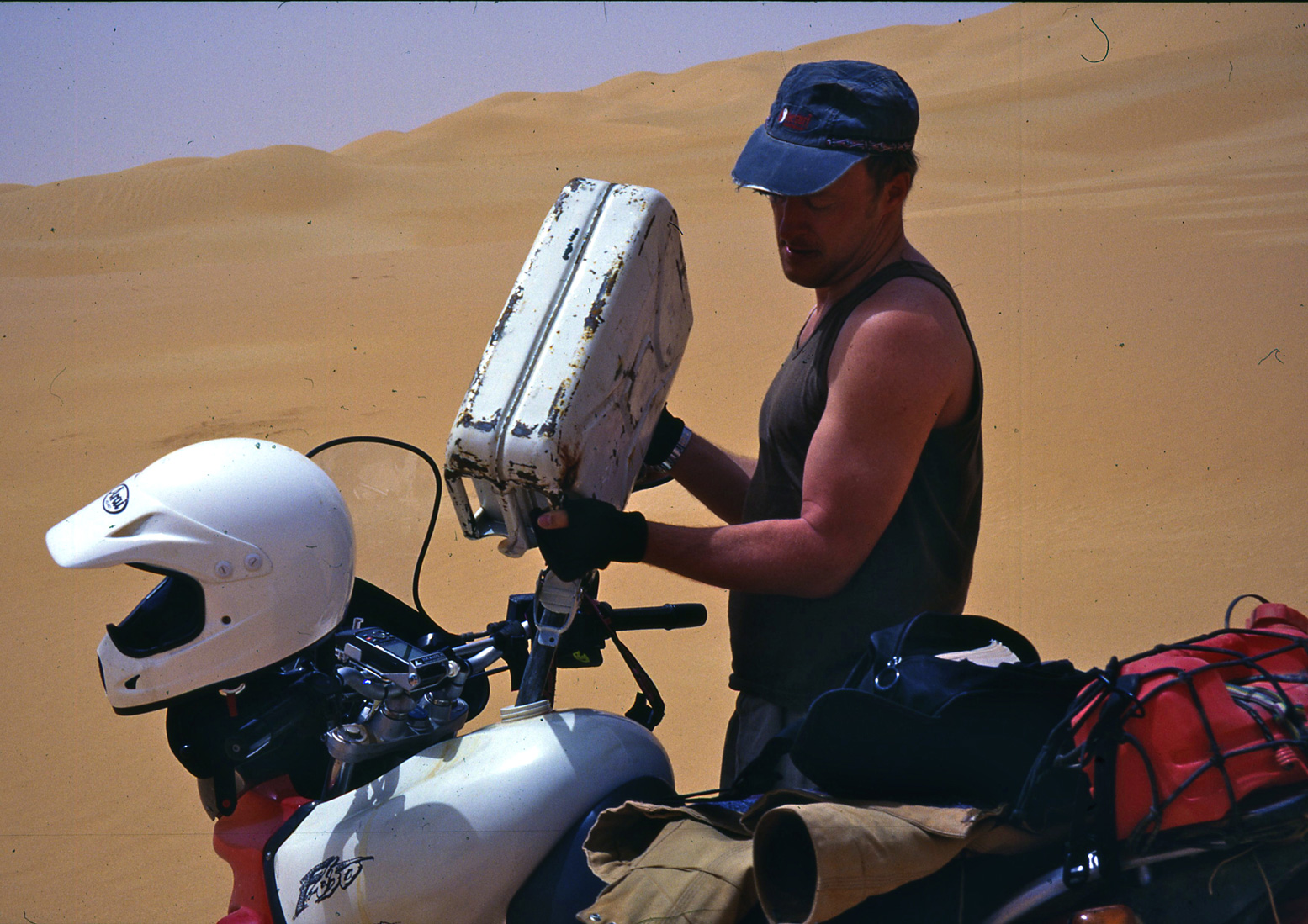
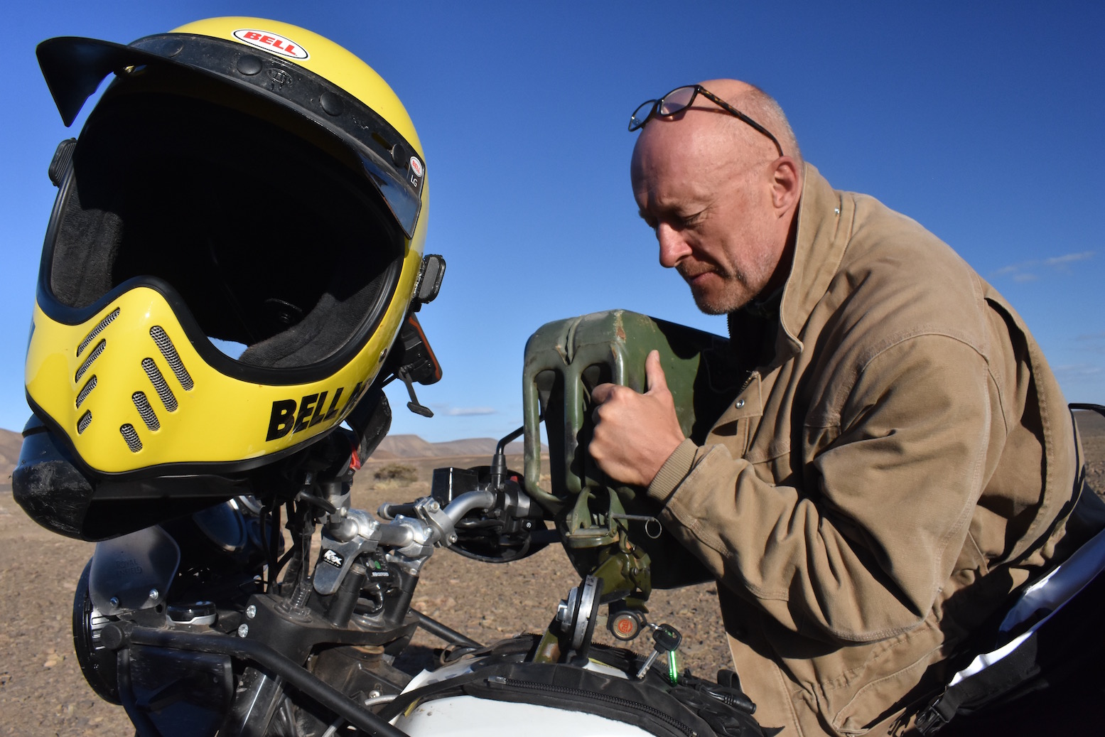
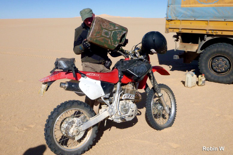
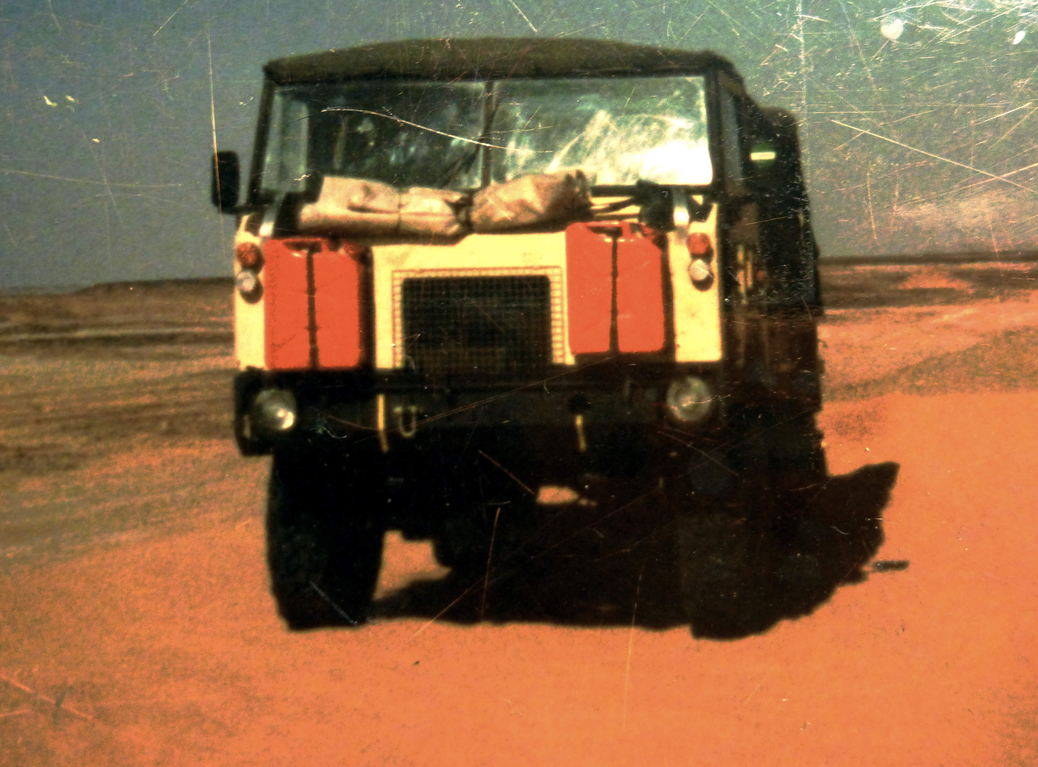
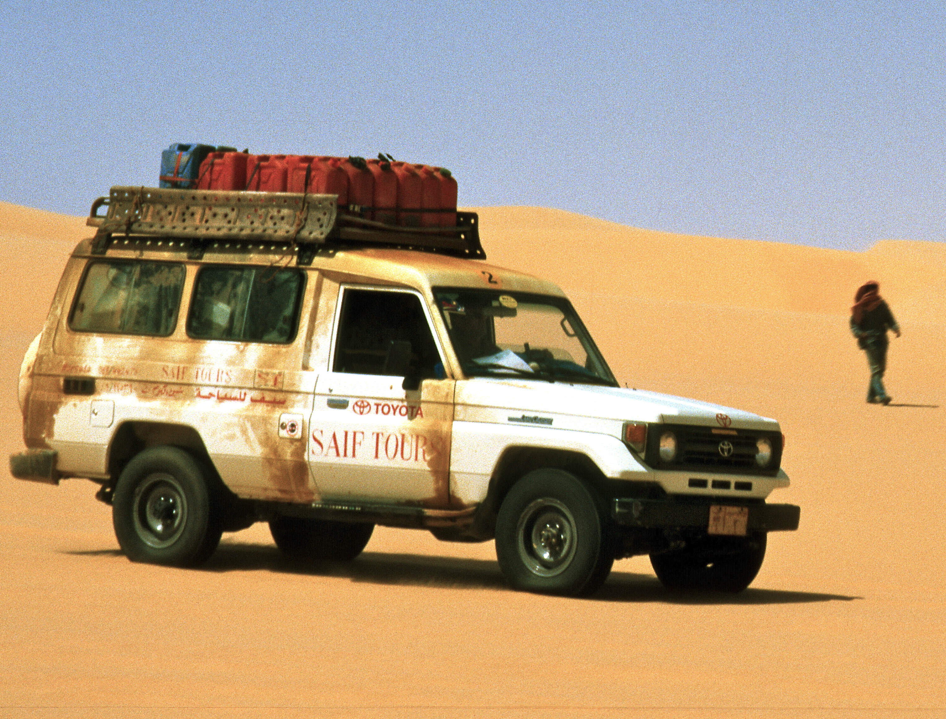
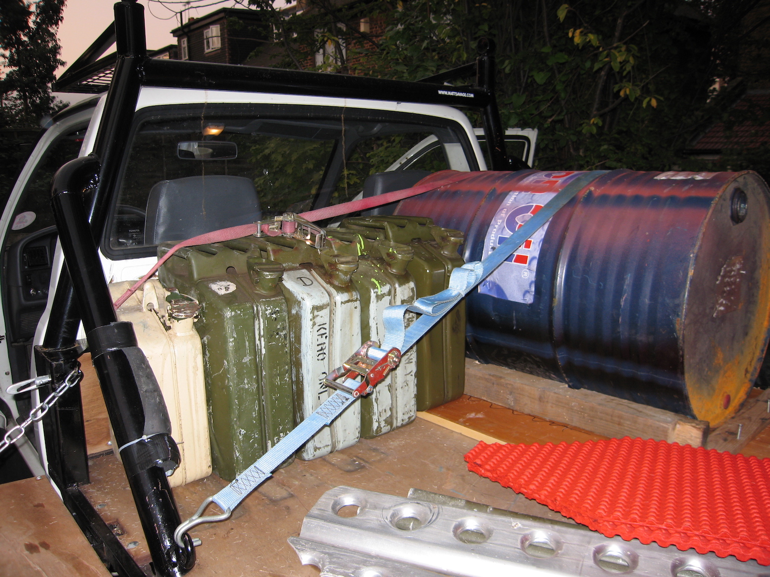
For travellers who don’t expect to be making a lifetime of Sahara travel and haven’t got limitless funds, jerricans provide the simple answer to increasing your vehicle’s range. Available sometimes still unused from military surplus outlets for around £10, they make reliable and robust fuel containers.
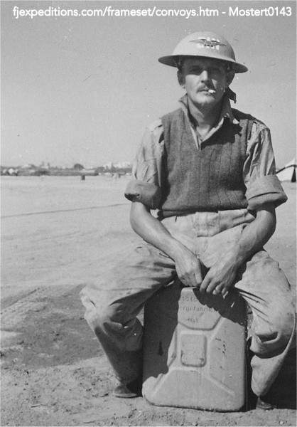
Captured WW2 kannister
The standard steel jerrican is a German design (hence the name) from the late 1930s, developed to support their blisteringly effective blitzkrieg invasions. The fact that the design remains unchanged today shows how well they succeeded with the ergonomics of carrying, pouring, sealing and storing fuel. During the war in North Africa, the LRDG prized the discovery of any jerricans, while the Germans were ordered to destroy them on retreat.
LibyaWestern SaharaAlgeriaMali
A jerrican holds 20 litres (4.45 gallons; 5.28 US gallons) when filled in the upright position. This leaves an air gap just below the handles which shouldn’t be filled with fuel (by tipping the can backwards) unless you’re really desperate. The air pocket, as well as the X-shaped indentations on the sides, enable the can’s sides to bulge as fuel expands; especially the case with petrol which is more volatile than diesel. Once warmed and shaken on your roof, take care to open the cap very slowly (the cap’s clamp design makes this easy) to avoid a spurt of fuel, which, besides being dangerous, is messy and wasteful.
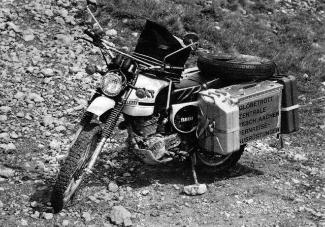
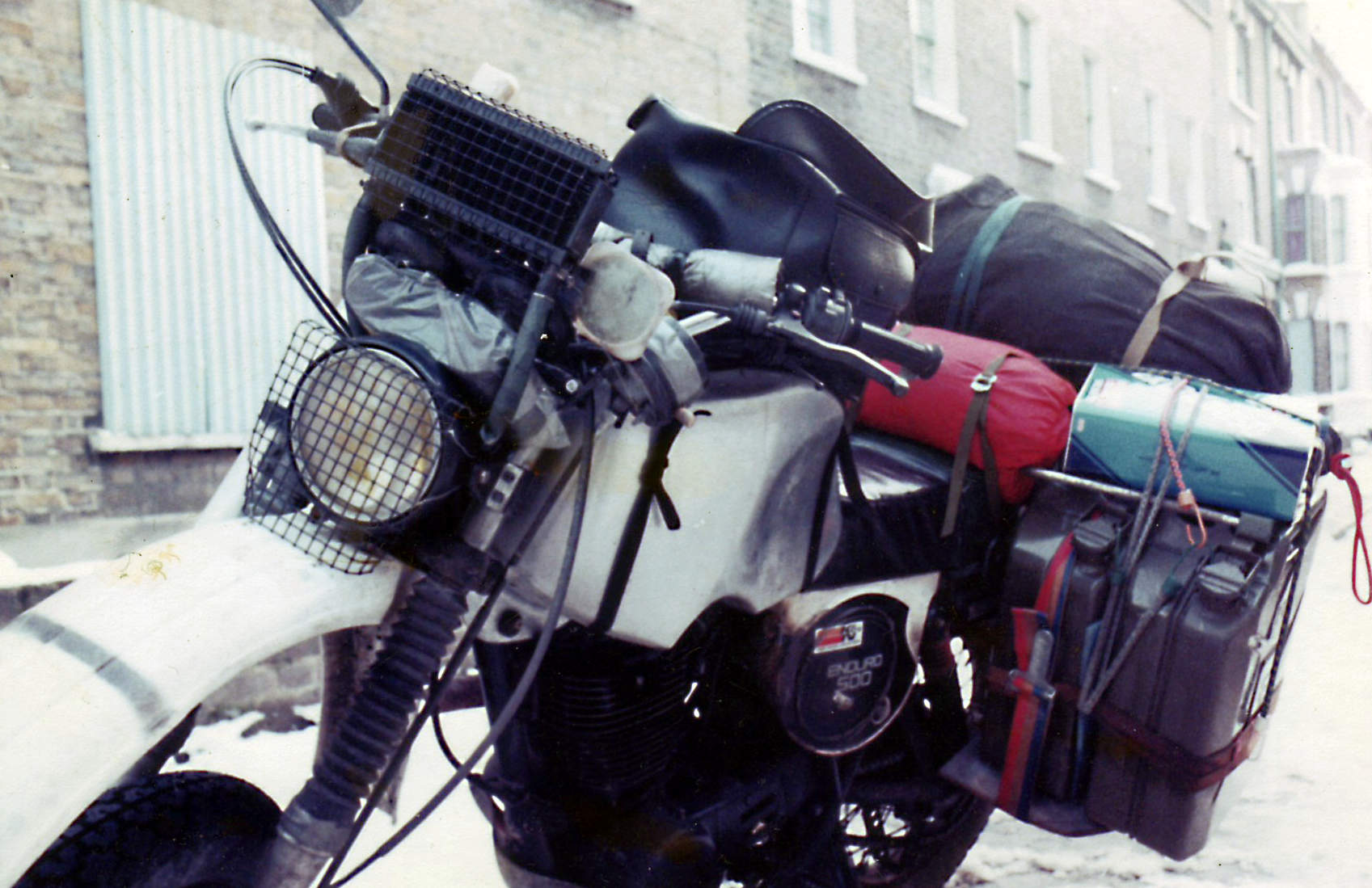
Bernd Tesch’s XT500, 1976My XT500, 1982. The jerries were soon sold.
Algeria
A clamp-on spout (some with an integral gauze and breather tube) should make topping-up while holding a heavy can easier. But I find these clamp-on spouts often don’t seal well, fuel runs down your leg and their internal gauze slows down the flow rate, prolonging the effort in holding them up. A wide-bore funnel takes half the time. Rigid funnels get messy with diesel and are awkward to stow, so I prefer the ‘collapsible’ vinyl items with the end snipped off to make the hole bigger. Store them in a plastic bag or flat lunch box. Cutdown mineral water bottles will also do the job.
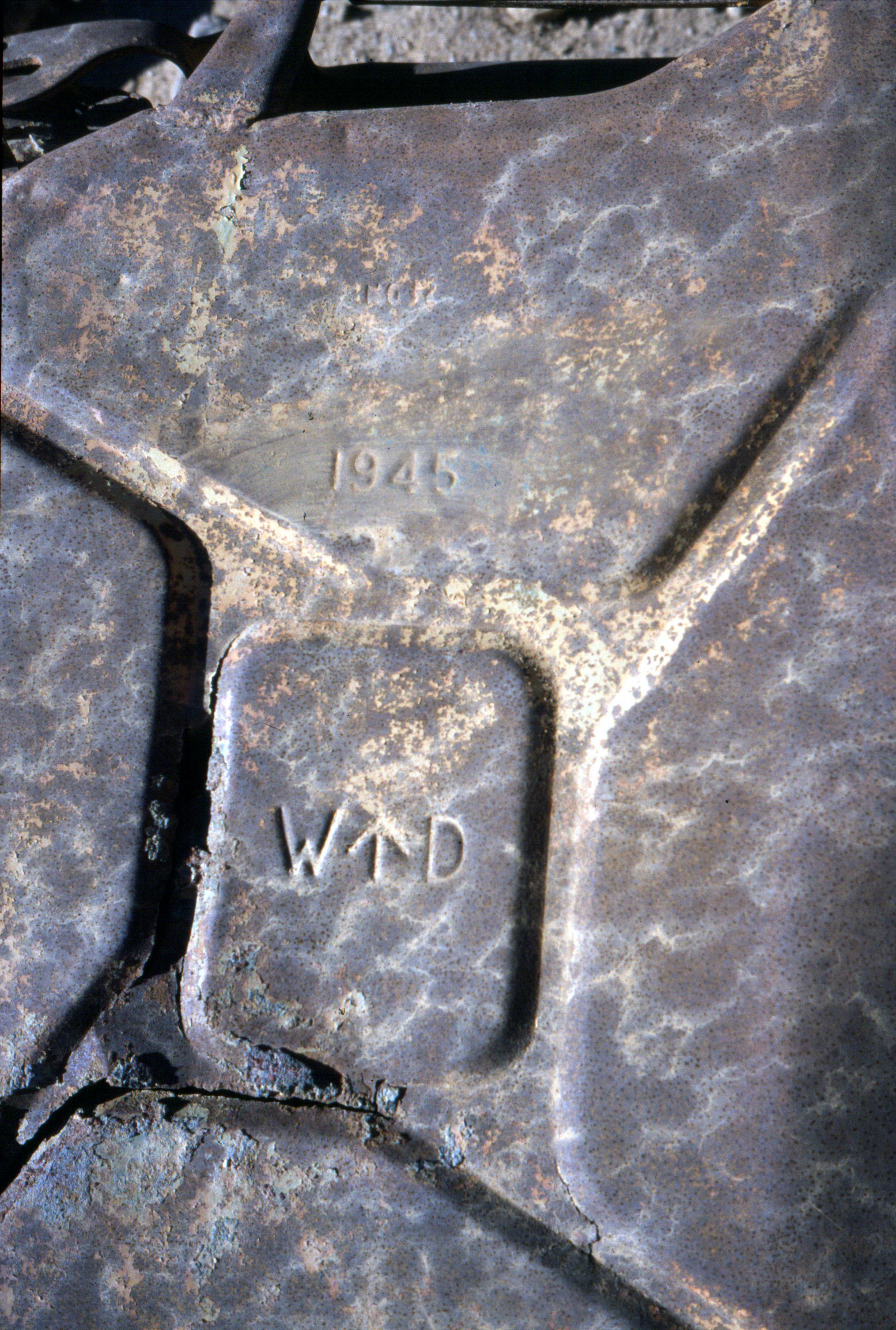
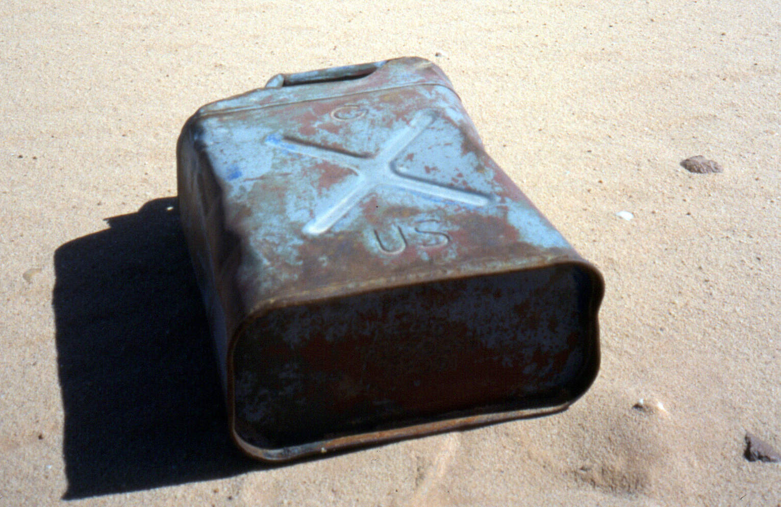
Pinched or copied following Al Alamein, a Brit WD jerry at Jebel Uweinat (Sudan).A US-army ‘Ameri-can’. Not quite as good. Or not as legendary.
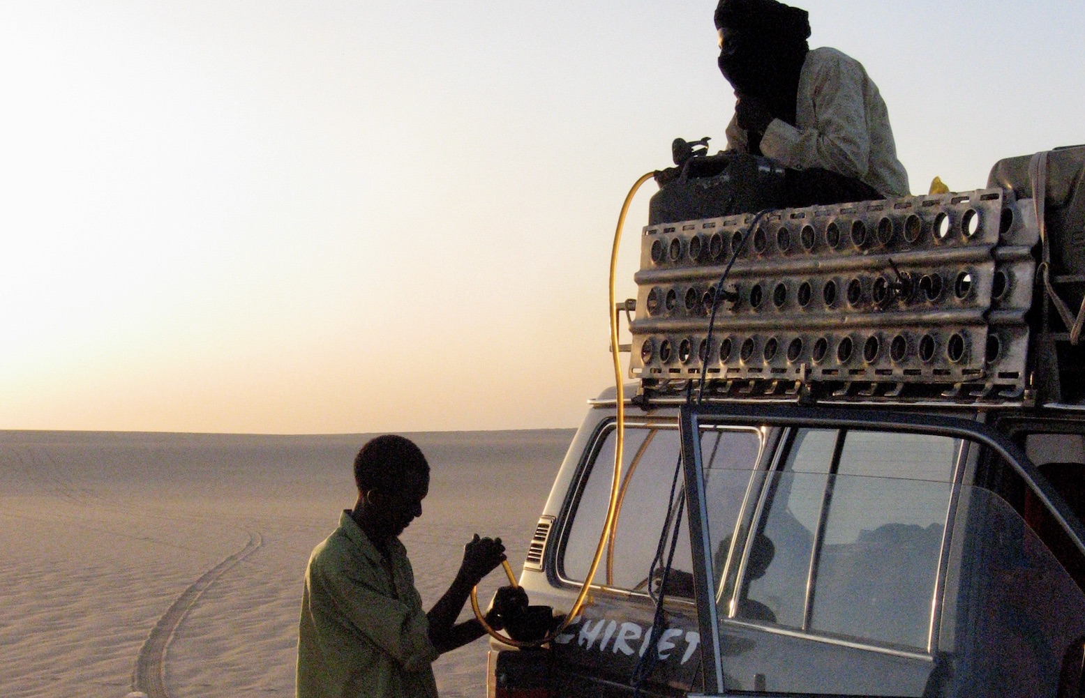
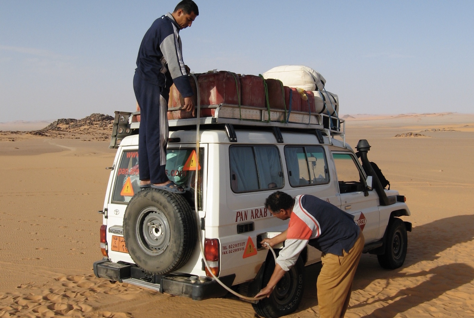
Better still, leave the can where it’s stashed on the car and siphon the fuel into the tank either with a simple tube or a manual siphon-pump. Until mastered, the mouth-sucking method to get a siphon going is understandably unpopular with motor fuel. If you have no siphon pump bury the whole hose into a full jerrican (a flexible, clear, thin-walled hose is best). With the other end fully submerged, put your thumb over the end and draw out the tube which should stay full of fuel. Poke the tube into the fuel tank filler and the weight of the dropping fuel will create a siphon.
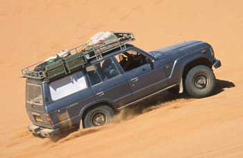
Tenere (Niger)Sudan (Selima)
Jerricans themselves can be knocked about for years: I’ve never seen a welded seam leak, though cap seals do leak. You can buy spare seals or, failing that, a chopped-up inner tube clamped across the mouth will work.
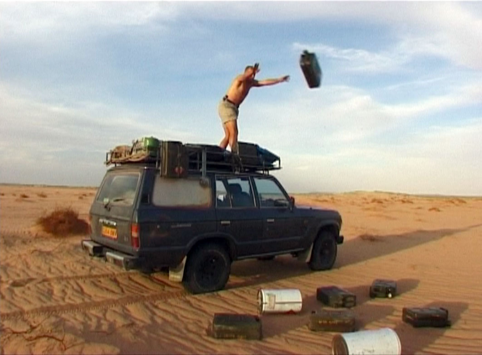
Treat ’em rough (laying a fuel cache, Algeria)
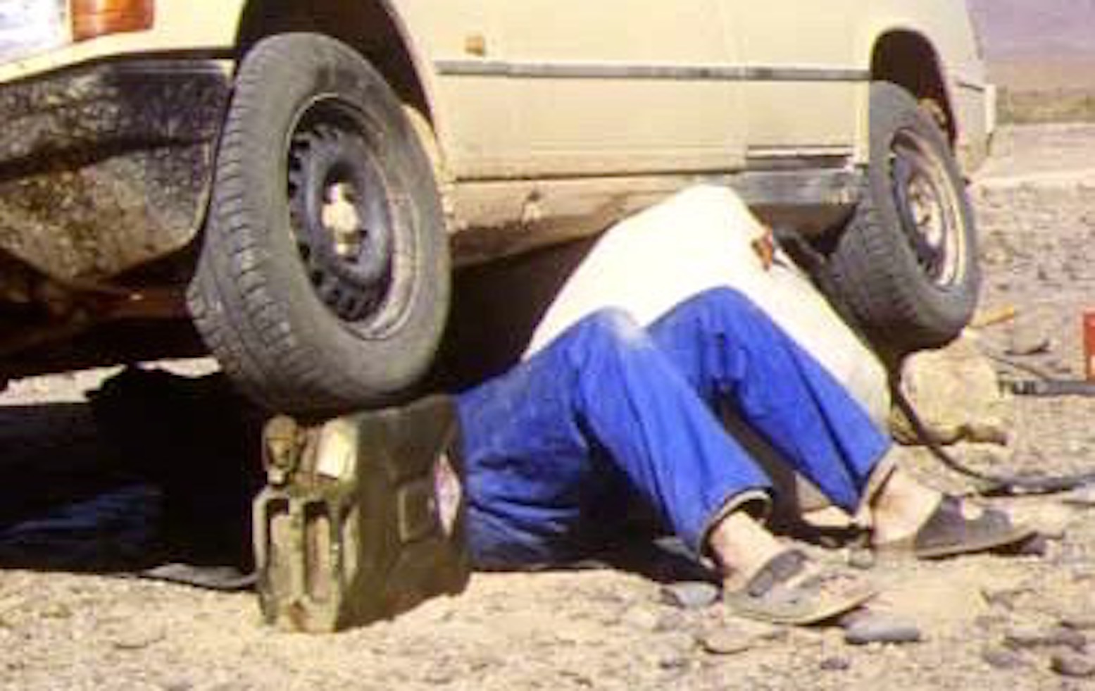
Once rust or flaking paint begin to come out of a jerry, either make sure you use a fine pre-filter or get another jerrican. Neat ten-litre versions are available and even mini five-litre models, all using the same clamping cap. They can also be robust containers for spare motor oils and other fluids and make good jack stands when working under a car.
Ten-litre jerries on a Land Rover101FCHandy wheel-stand (Morocco)
There is said to be a small risk from static electricity in the dry desert atmosphere when refuelling vehicles, especially petrol. Earth the car by touching it before opening the cap and pouring in the fuel.
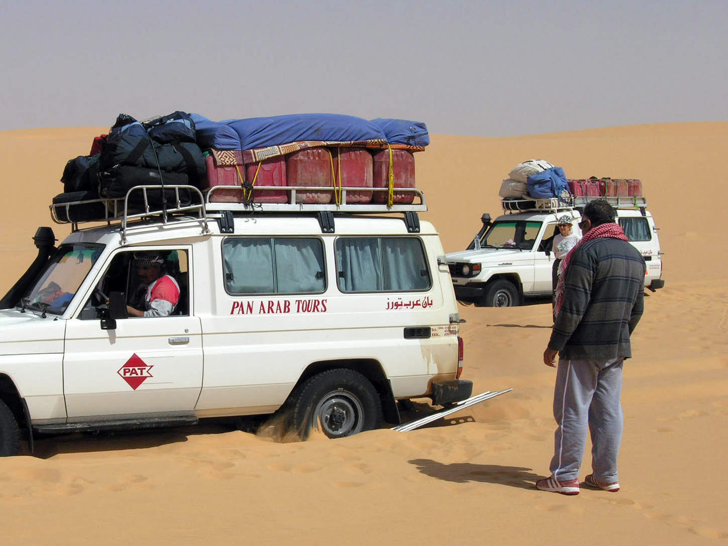
Cheap plastic jerricans (Egypt)Heat up, expand and leak. A few days later
‘Jerricans’ copied in plastic should never be used for long-term fuel storage. The soft slab sides and screw-on caps are unsuited to the expansion and will swell like a balloon before splitting, leaking or bursting. I once drove a car carrying nearly three dozen cheap plastic jerries on the roof. Within a couple of days fuel was running down the sides of the car as the liquid expanded and caps leaked; I even had to use the wipers as it ran down the windscreen. It was very messy and bad for the rubber components.
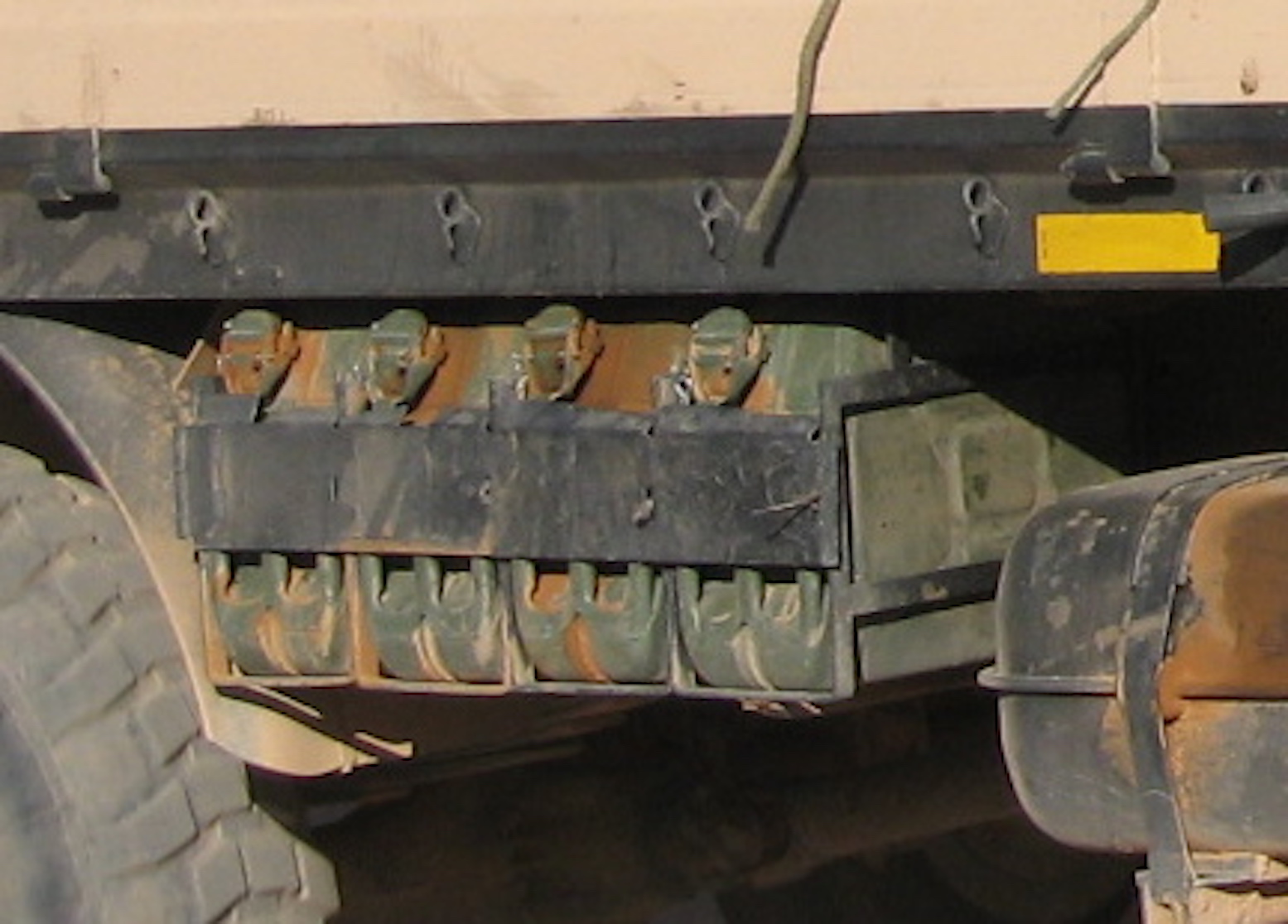
Rack of easily accessible jerries under an M.A.N.After jerricans come oil drums. Ten times bigger and as cheap or free.
Update 2025: no one’s been here for years and years
My fascination with the Tenere probably started after reading the alluringly sparse route descriptions in the old Sahara Handbook in the early 1980s.
Several stillborn attempts followed, resulting in a clearly inadequate description in my own Sahara Overland guidebook of 2000. I decided it was time to cough up two grand on a tour and enjoy a relaxed recce that wouldn’t put my own Toyota at risk (there was a high chance of losing your car in this area at the time).
No Brit operators covered this part of the Sahara and, looking at various itineraries and prices, I chose Suntours, a German operator long established in the region. I may have communicated better with a French-speaking group, but Suntours’ 22-day itinerary looked the most thorough, including the lost valley or Enneri Blaka deep in the Djado plateau, with its mysterious ‘submarine’ formation which would have got Clive Cussler going. See the vintage helicopter video bottom of the page. I met the group in Paris and we flew straight down the Tanezrouft (no window seat, alas…), reaching Niamey at sunset where it transpired half of the group of nine’s baggage was missing. We had to hang around next day in the hope the bags might turn up from Abidjan that evening. Like most sub-Sahara capitals, Niamey isn’t what you come to Africa for, but for 20p, the museum was a bargain, while brochettes at sunset on the terrace of the Grand Hotel is the done thing. That night a few more bags turned up and, with only three missing, it was decided to take the 1000-km drive to Agadez; the luggageless ones would have to make do. This long drive is a drag. Flying direct to Agadez from Paris would be ideal, though I can see why Suntours don’t trust the Le Pointe’s charters who had a bad reputation for cancelling flights if not full enough. The American tour that got robbed at Temet (more below) suffered a typical, late Le Pointe cancellation on the way out, then had to cough up for a scheduled flight. Glad I missed that trip! As it happens, the night drive in two minibuses wasn’t so bad as most of us could stretch out on a bench seat and get some sleep. Leaving around midnight, we got to Agadez thirteen hours later for lunch at Ewaden Voyages’, the local partner of Suntours. Soon after, two old Sixty-series Land Cruisers and a Patrol were loaded up and we headed for the hills.
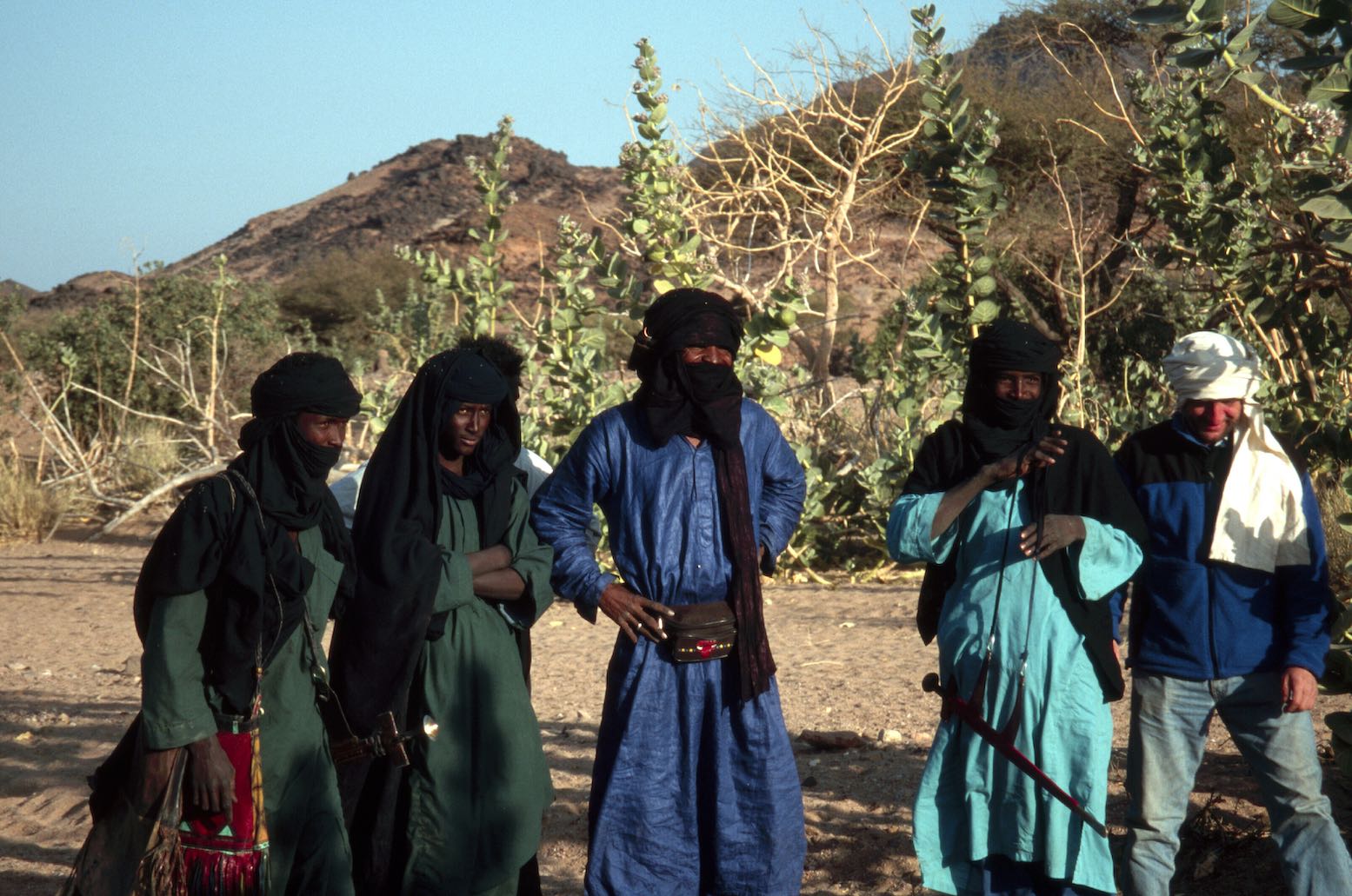
AïR I’d been warned that I might find the Aïr a rough and dull drive – it’s not the Tenere. In fact, it was quite satisfying on the way out at least, when it was all new. Out here Tuareg dudes really do wander around from village to village on camels with their takouba swords by their side. I’ve never encountered the semi-sedentary ‘Kel Aïr’ Tuareg before, but now realise how much Tuareg mythology might be based on the colourful culture of this region’s accessible clan.
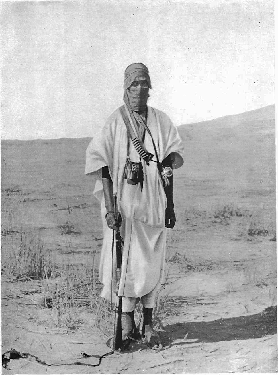
Tuareg swordsmen
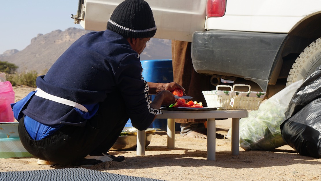
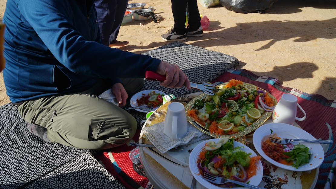
We camped in a oued (“never camp in a oued!”) where Ibrahim cooked the first of many spectacular meals. How long could this last I wondered, and sure enough, by the time we got to the Kaouar in the east, things got a bit plainer, but his outstanding lunchtime salads were works of art, composed of fresh ingredients for much longer than you’d expect in fridge-free motoring. Another great aspect of this tour was letting us loose on foot while the morning (and sometimes lunchtime) camp was packed up by the crew. With a bit of luck you could get a quiet couple of miles under your soles before the cars caught up.
Twin Peak mountain, near Timia.
No one could have complained that too much time was spent cooped up in the cars, although the constant attention the old bangers needed added to frequent cig’ breaks. On the whole trip I doubt if we drove more than half an hour without one car stopping to fix something. That said, it was soon clear these drivers drove their vehicles with great care; a first for me in Africa. I was in the Patrol where Madougou treated the machine like his own. I’d have been happy for him to drive my car (and if you know most desert drivers, that’s quite an admission!). The southern Aïr is a Sahel of low reddish hills which darken and rise towards Timia and the volcanic extrusions thereabouts. Settlements and nomadic encampments focus round the gravely oueds, some with nearby gardens and enclosures. You’re never far from others in the Aïr.
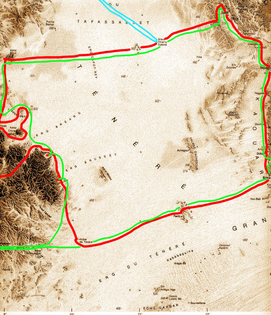
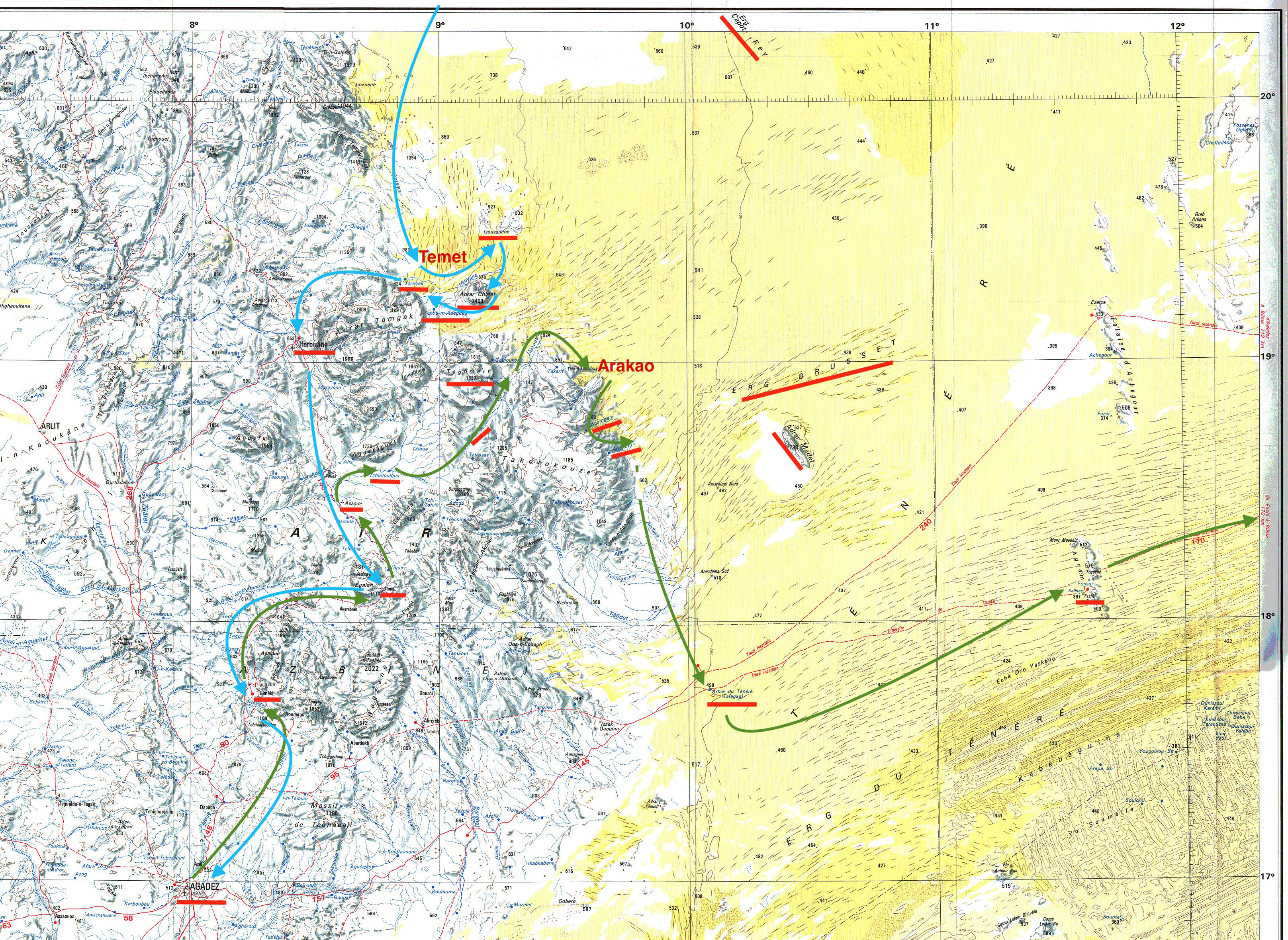
Green route on the way out, blue on the return
With the frequent stops, at times I suspected we were hung out to dry among the cadeau-crazed village kids a little too long for comfort, as if it was pre-arranged ploy so we’d crack and splash out on Tuaregobilia. By the time we got to Timia I sensed the group had had enough of this, and being sent off on a futile tour of this unremarkable village had us all pining for the desert.
The hand pump in Timia
“Do you know Alex Marr?” a young Timia boy asked me in French. Well, as it happened I did. I’ve never actually met him, but Alex was on the front cover of my fourth Adventure Motorcycling Handbook. He came through here on his way to Bilma in 1999, thinking he could ride from there to Lake Chad because of a black line on the Michelin map; not the first to make that mistake. (I noticed Alex also entered the Dakar Rally in 1988). I had the novel experience of receiving a cadeau to pass on to Alex. While deflecting vendors’ parries, I got talking with a French visitor to Timia and an elder Targui, and asked about the robbery at Temet dunes a couple of weeks earlier. Who were the culprits and had they been caught? The old Tuareg shyly slid behind his cheche at the mere mention of the event, while the French guy realised it was associated with the ‘Madame Tortoise’ (Turtle Tours) he’d heard so much about in the village. She worked with Dunes Voyages, an established Agadez agency, but you can see from that link, Irma Turtle’s customers were not a happy bunch, even when they weren’t being robbed. I’d already asked Hans our guide about it, but he pretended not to understood me. I never found out if the rest of our group knew of the raid (known chiefly to the Saharan online community), and if they were bothered about it. Two months later another tourist group like ours was turned over close to where we’d spoken.
The waterdribble near Timia
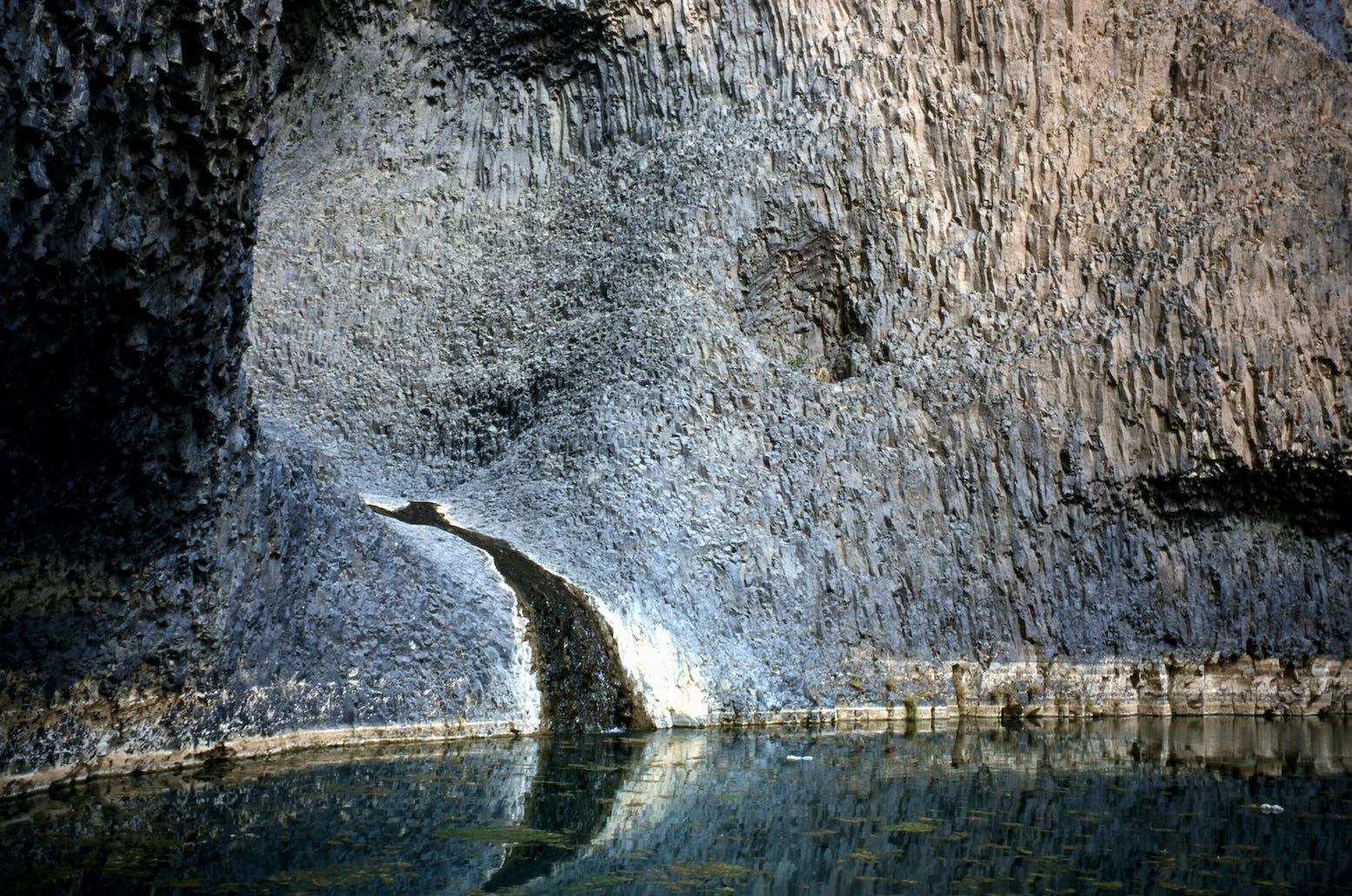
The volcanic geology around Timia is interesting, including the cascade which reminded me of Mutujulu Springs running off Uluru (Ayers Rock). At this beauty spot an orderly line of vendors sat behind a line of rocks imposed by the European agencies on pain of dropping this stopover from their itineraries. Next day we visited the surprisingly substantial ruins of Assode, the old capital of the Aïr before Agadez became pre-eminent a few centuries ago. With that ticked off, by lunch time we watched the women watering their goats at Tchintoulous well, enjoying more relaxed shopping opportunities as they discreetly laid out their wares near us. Then, at the top end of the Zagado valley we spent out last night in the Aïr facing the Taghmert plateau (below).
Zagado facing the Taghmert plateau
ARAKAO TO THE TENERE TREE We were now traversing the Neolithic borderlands of the western Tenere and soon pre-Islamic tombs became discernible on the hillsides. Stops hereabouts revealed the usual Neolithic artefacts and at one point I found four grinding stones (left), their easily found milling stone (or moule) plates having long ago been grabbed by collectors. Some consider the collection of Stone Age artefacts tantamount to grave robbery, but to me they’re just non-degradable Neolithic relics that tell a story. Finding them is like beach combing and a lot more satisfying than haggling over a silver Tuareg cross. And it’s more acceptable that pinching Tuareg heirlooms like swords and camel saddles from impoverished villagers. But, although the collection of artefacts was not discouraged on our tour, I’ve changed my mind on this practice now. Leave these things in the desert. In many countries it has become illegal to remove them.
Arakao: the crab’s claw
A tongue of jumbled dunes spill through the mouth of the cirque of Arakao (above), dividing the easily visited south side from the less accessible northern half. We camped on the crest of the dune cordon and spread out to explore. As one would expect, a sheltered site like Arakao was inhabited during Neolithic times and probably long before that. We visited several tombs in the southeast corner and kicked about for more artefacts, usually made from the distinctively green flint-like jasperite found in this region.
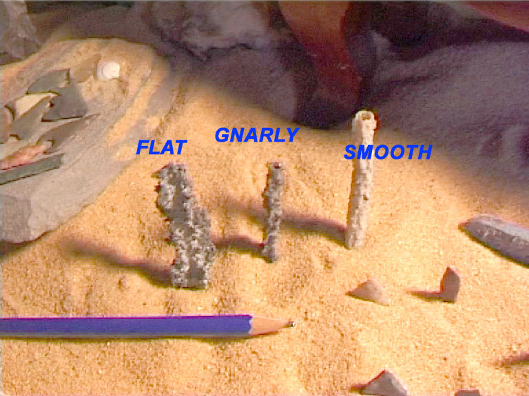
Fulgarites
Hans, always energetically scanning the sands, found me an amazing rod of fulgarite in the dunes: a brittle, pencil-thin tube of petrified sand caused by a lightning strike. Since I first found some on the edge of Algeria’s Oriental Erg years ago (without then knowing what it was), this stuff has always amazed me: lightning turned into stone: a true wonder of nature. Walking back from a dune summit I found Hans’ spot and excavated another slender undisturbed twig over half a metre long. Who knows how deep it went.
Desert pizza
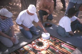
Traditionally Ibrahim always baked a pizza at Arakao we were told, keeping up the circular theme. A thick and chewy Margarita the size of a Land Cruiser wheel is quite an achievement using just enamel trays and embers, and while we all gave him full marks for audacity and presentation, sadly the dough didn’t quite make it.
Tanakom
We cruised down the east side of the Aïr, stopping to admire the amazingly and bizarre engravings at OuedTanakom and Anakom, at times driving continuously over stones all fashioned into tools over the millennia. One can visualise the Neolithic settlements spread out by a long-gone river running out of the mountains, while wild game and herds grazed on the plains of the Tenere, now covered in sand. At ‘Long Stones Pass’ we could make out the mass of Adrar Madet and the Erg Brusset to the east, and later that afternoon finally shook off the Aïr’s margins and headed across the serir for the Tree.
Or is it Anakom?
THROUGH THE ERG TO BILMA To finally see the Arbre du Tenere after reading about it over the years was quite a buzz. These days there’s a lot more there than just a bad well and the old metal tree (the original is in Niamey Museum looking as interesting as a bag of crisps). Some Japanese recently built a wacky pylon, and there’s the usual litter, other structures and a water tank. There are even a couple of new trees (“tropical species, pah!” exhorted our biologist guide, Hans) which you’re asked to water when you are there. As Tony Gastel reported in 2000, the water is far from ‘tres mauvais’ as the Michelin map states, but it is very deep, taking three men to haul up the bucket nearly 150 feet. While they watered the cars, we had a chance to wash and then headed along the dune corridors towards Fachi.
Deep well at the Arbre du Tenere
Bilma this way
At first we drove over irritating tussocks and I had the impression we were going south. A lunchtime GPS check validated my preternatural sense of direction; Abdullai the local guide having deliberately dropped down a few corridors to pick one which lead directly to Fachi.
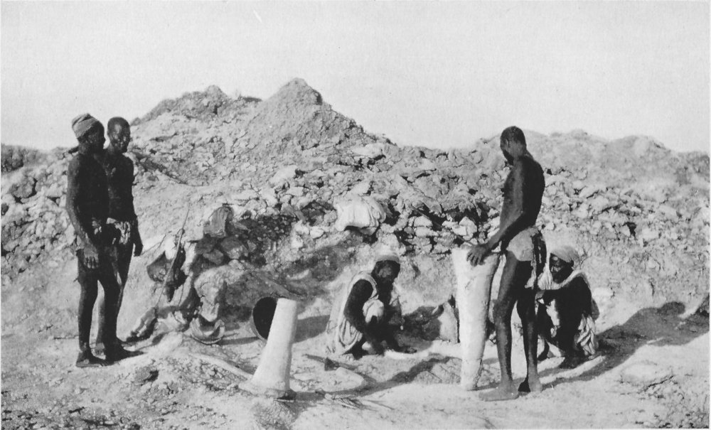
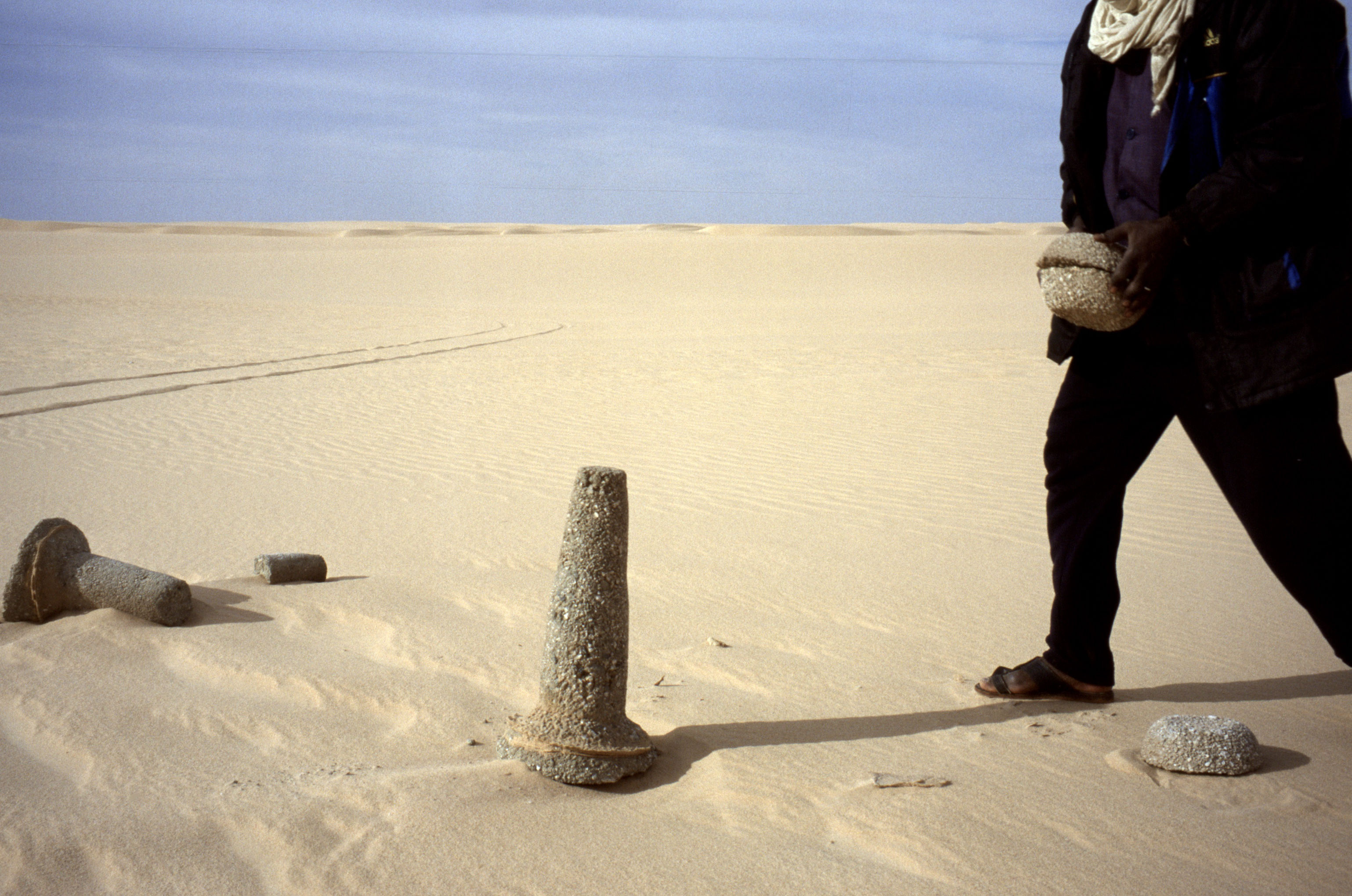
Soon the vegetation disappeared and we were passing among the low, pale yellow dunes of the northern Tenere Erg with very few tracks and no balises. To me, sat in the passenger seat, the driving and navigation of this famous route appeared relatively easy, with the odd bogging easily reversed. Occasionally we came across an old azelai salt caravan camp with masses of camel dung and other rubbish, and a little later some abandoned kantus (salt pillars) with the dead camel nearby. But we encountered no actual caravans as Tony had last October: the azelai season.
Salt pillars fallen off the back of a camel
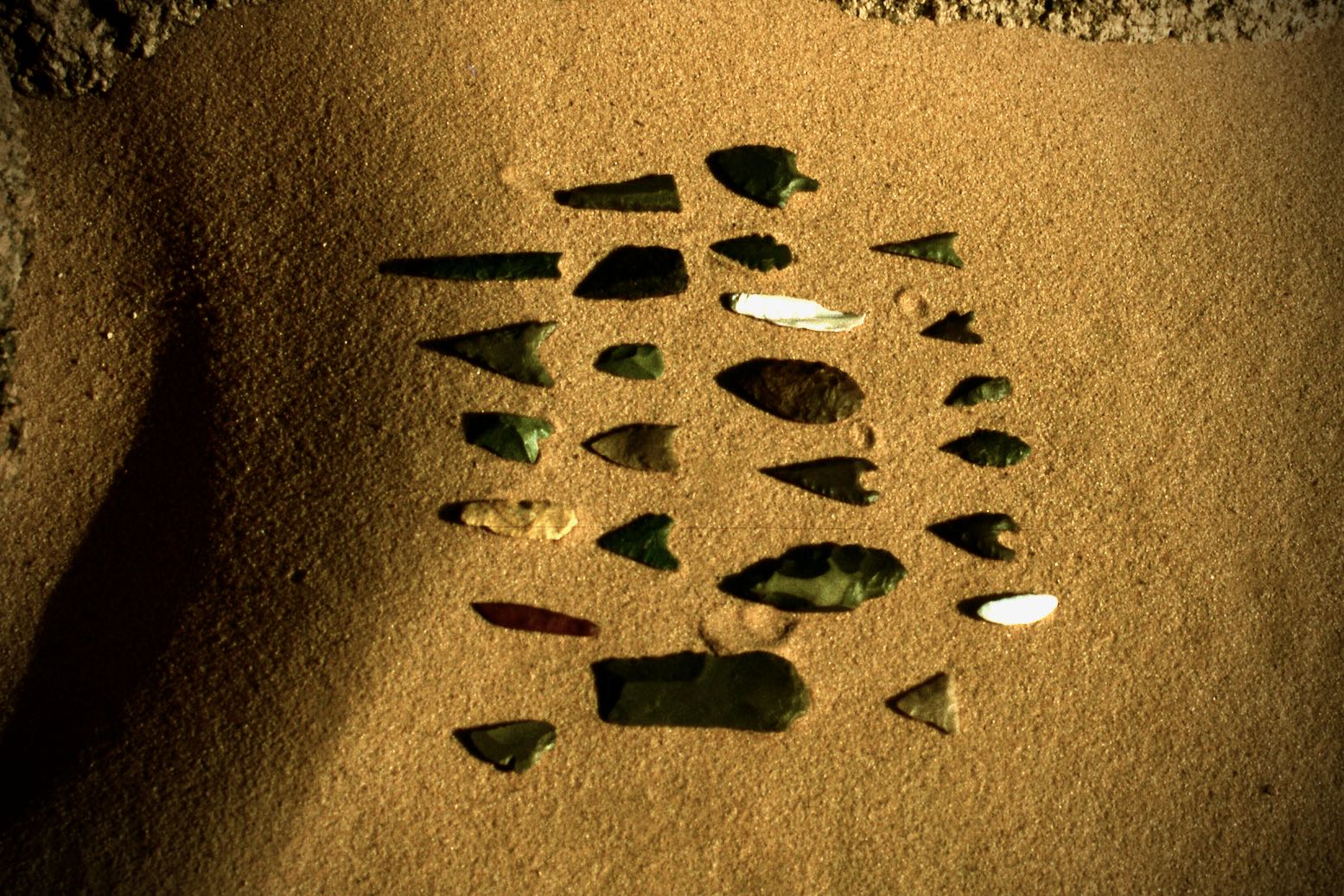
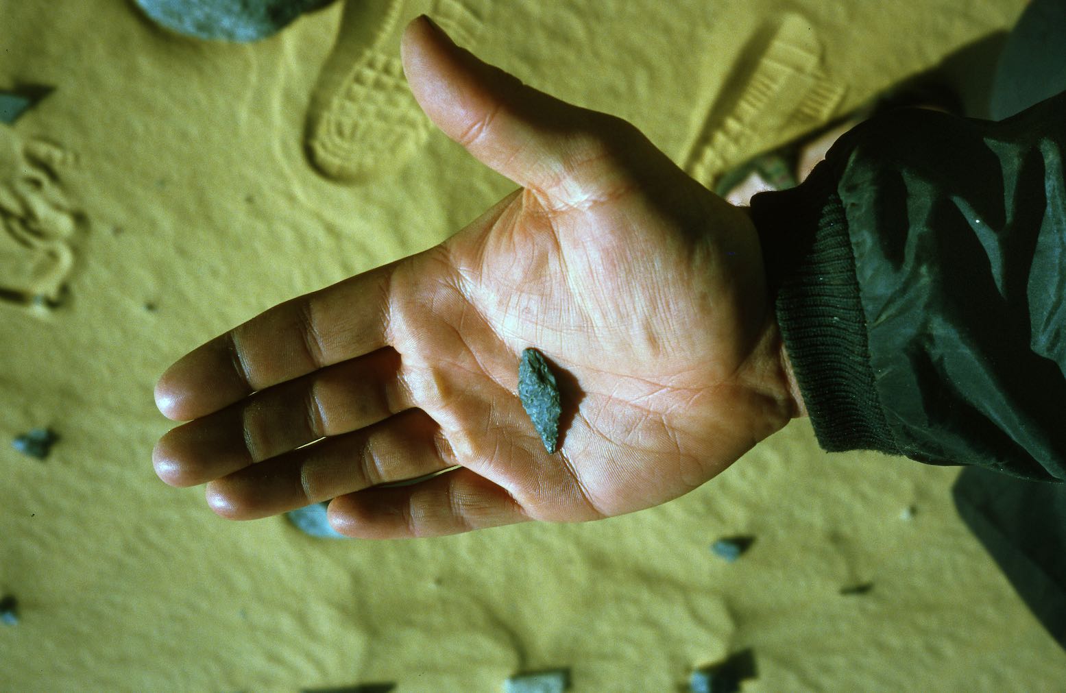
Some gravel pans in the corridors harbour the odd patch of Neolithic chippings. We found tiny arrowheads, something I thought all but impossible with casual fossicking. The fine craftsmanship and variety of these centimetre-long spikes is nothing short of amazing. They may only be a century old of course, but are probably much older. I imagine like moules, they were found and reused for centuries and centuries.
Tiny arrowheads
We camped in the lee of a dune. Next morning we approached Fachi – lovely in Jean Luc Manaud’s famous image, but well camouflaged below the Agram escarpment. The sand-filled streets and tamarisk trees give Fachi a nice, ex-colonial appearance. This was Kanuri (or Beri-Beri) country, not Tuareg nor Tubu, though Hans suggested that Kanuri are merely Tubus of the Kaouar region of eastern Niger. I have read that Kanuri (‘from Kano’) like to deny this. We got watered at the well, checked in with the sultan who was entertaining a Spanish TV crew, and then went for a look around the old town escorted by the sulky sultan’s son. Although I find old ksars as evocative of the Sahara’s romance as anyone, the giant wheat urns inside the old fort was about as interesting as Old Fachi got.
Fachi High Street
Back by the cars, we were left to stew among the cadeau kids until nice and tender. I went for a wander up a street, looked down an avenue and got spotted whereupon a tidal wave of kids surged towards me. I wouldn’t be surprised if each of us was asked 50-100 times for bics or whatever. It’s all part of being a tourist in Africa, but what was the delay? Having had a quiet time since Timia a few days ago, it was clear that the group was getting irritated by this. Maybe it was a way to string out the tour for three weeks.
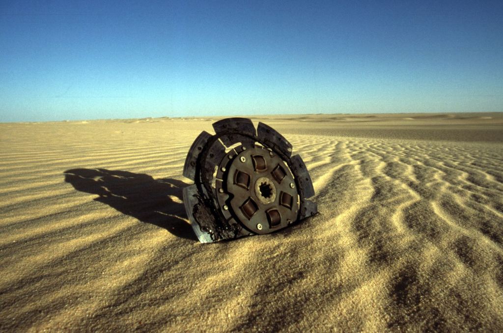
After a visit to Fachi’s salt evaporation pits (salines) round the back, and lunch in the palms north of town, we headed up a sandy pass in the Agram escarpment where the sand softened noticeably. All the cars struggled and Kaiou’s red HJ60 – which at the best of times smoked like a Ukrainian steelworks – started frying its clutch. We could smell it burning from our car, but he kept pushing and eventually it disintegrated down to bare metal. Luckily Abdullai has a spare and, with the aid of ropes, two jacks and some legs, Kaiou’s Cruiser was running again four hours later.
The cars drove in strict formation. Abdullai up front, Madougou with us in the Patrol and Kaiou last. But Madougou was a bit slow and sometimes Kaiou got ahead, belching his unburned black puke all over us. Sensing our latest irritation, they half-heartedly tried to fix it later, but the car ran so what was the problem? Worn diesel injector pumps are the problem in the Sahara, and the mixture on his car was far too rich. Kaiou ran out of fuel before Bilma. With the ridge of the Kaouar behind it, Bilma is easy to spot. I had the impression that crossing from the Tree was relatively easy. The corridors line up just right and in good visibility you can’t miss the Agram or Kaouar escarpments. Finding the Tree without GPS if coming from the east would not be so easy, but even then, grasses and converging tracks would be a clue that you’re close. Hans described Bilma as a dead town and I find Tony’s figures of 12,000 population unlikely (even for the massive Bilma district). We stopped at a garage for water. An HJ75 was getting fresh oil and a 109 Land Rover waited outside: two classic Saharan cars. On this side of the Tenere you also find plenty of Nigerians washed up on the road to Libya and so English is spoken, but as in much of West Africa, everyone speaks several languages. Our guides chatted in a mixture of Tamachek, Arabic, French, Djerma, Hausa and Tuburi (or ‘Kanuri’). With the jerries full, we drove round to the fort to hand in our passports and pay the provincial tax. Out here you officially need stamps in Bilma, Dirkou and Chirfa which takes up a good page or two of your passport. Near the fort are a couple of market stalls full of Nigerian goods and junk sold by Hausas who I get the impression, are like ‘Moorish traders’ on this side of the Sahara. Knowing this, it made sense to learn that the famous Bilma salt caravans or azelais are organised and managed by Hausa or Peul, not Tuareg, though Tuareg camels and guides are hired for the job. And the good news is that these caravans are far from the dying tradition many think. Tony’s reports of seeing several caravans was no fluke.
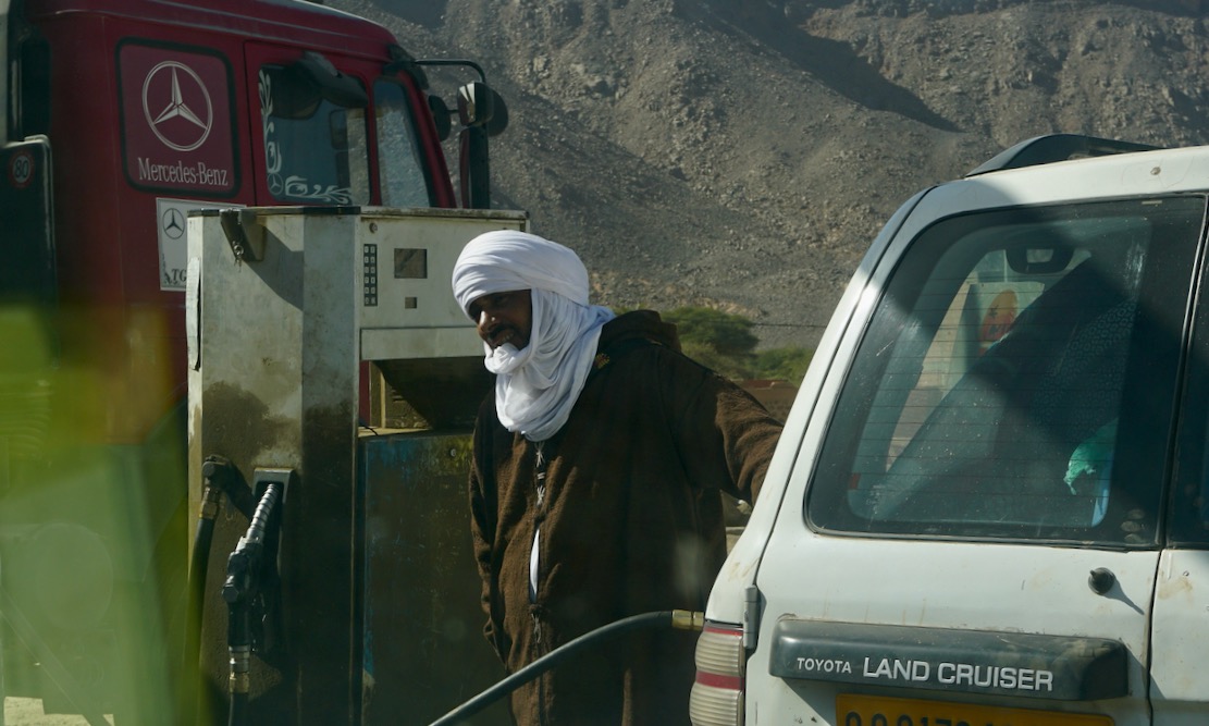
DIRKOU TO DJADO AND ORIDA Next day we hit Dirkou, a thriving frontier town that’s the true capital of the Kaouar. Nigerians and other desperadoes head north on top of Mercedes lorries to a life of slavery in Libya, only to get sent back following one of Gaddafi’s purges, sat on the piles of subsidised or stolen goods on the same Mercedes gros porteurs that pass daily through Dirkou.
Mercedes gros porteur. Underneath all that stuff is a full tanker of Libyan diesel
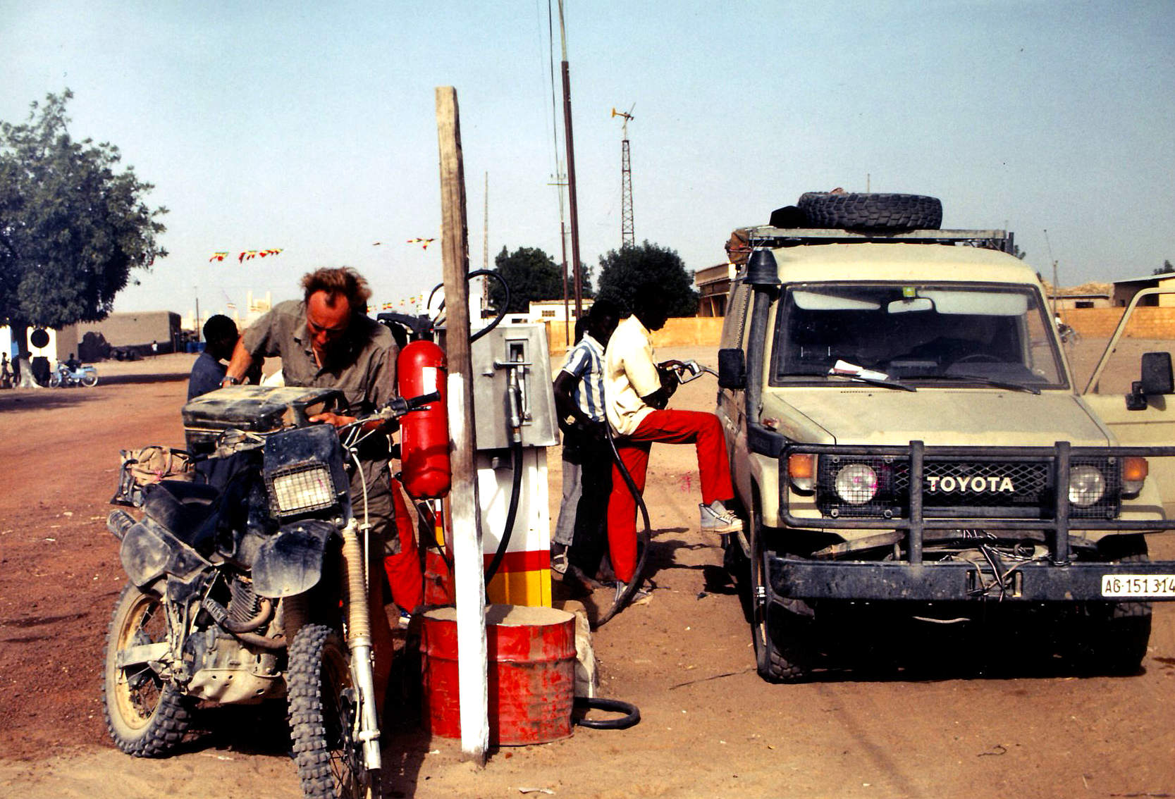
By the compound where Andy and Richard spent their Dirkou detention, is a Tubu technical shot to smithereens and left as a reminder that the government won that particular rebellion. Passports handed in, I had a choice to go see Jerome or check out the town. Lively though Dirkou looked (and free of hassle, I was told later), I went to pay my respects to the late Diesel Prince of the Tenere, finding a friendly old man instead of the money grabbing Shylock I’d expected. He can afford to smile, selling Libyan fuel at a 1000% mark up, but still a tad less than the official Nigerien price. A big Mercedes was unloading and I got talking with the driver who originally came from Djelfa in northern Algeria, while his two boys bounced oil drums off their heads, Tubu daggers tucked in their belts. He was full of praise for ‘Le System Mercedes’ but didn’t have much to say about the run down from Sebha that I could understand; some diesel may have seeped into our brains over the years.
Although 75 years old, Jerome was lucid and delighted to meet a Brit, claiming to have fought for Monty at El Alamein and all the rest. He rolled off a string of generals’ names and dates which sounded plausible, but later Hans suggested had I been German it would have been the same story under Rommel. In fact, a mate who has since met Jerome found out he is indeed an Anglophile, proudly showing an old WWII photo of himself in a Brit uniform. Gerbert van Der Aa, another S-Files Tenere contributor, interviewed Jerome for a Dutch paper a year or two ago before he died in 2003. Back with the group, Luggageless Erich had bought himself a Hausa outfit, complete with hat. Erich was not all there following a bungled operation in his early forties, and was quite a laugh in a subversive, boyish way. Vendors zoned in on his naïveté and he ended the trip, grinning and draped in Nomadobilia.
Bilma and the Kaouar
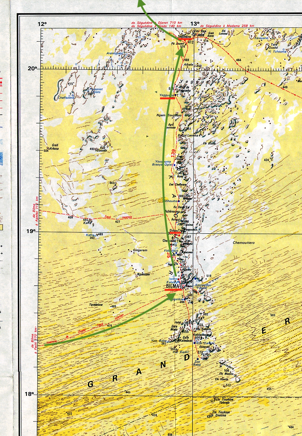
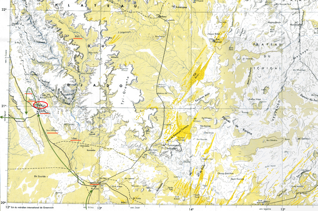
The landscape of the Kaouar was a bit grubby for my liking. We dropped into the salt works north of Dirkou where natron salt was mined. I noticed Madougou took some with his chewing tobacco, as they do in these parts. By the time we got to Yeguebba – the northern end of the Kaouar escarpment – the colour of the sand was a pleasingly orange again. We stopped to collect some firewood (there’s plenty of firewood here and masses in the Aïr) and drove across to a soak where the last car mired. What a mess, the quicksands wobbled like jelly and it makes you appreciate how easy and clean dry desert sand is to get out of. But with sand plates and a tow, the car was out and we spent the night nearby in the rocks where a fennec (desert fox, sort of) popped in for a visit. Since Bilma it had become clear our drivers were getting tired and probably anxious at being out on the far side of the Tenere in their old bangers. Their banter became restrained and you could see they longed to be back in their own country. We were having an easy time of course, waited on hand and foot and with nothing to worry about other than, for some, grabbing the best camp spot for the night. I couldn’t join in the evening chatter but it didn’t bother me, though I can now say ‘schpoon’ in German. Anyway, with time to myself I had a fresh batch of hare-brained schemes to nurture through their delicate development stage. Years ago, I recall reading in the Sahara Handbook about the importance of finding Pic Zumri to get to Seguedine from the north and now, there it was and the village laid out in the dip below. Here, the Adadez truck piste from Achegour splits, heading northeast behind the Djado plateau for Tumu and Libya or even east for Chad – a long closed route. Following a visit to Seguedine’s checkpoints, multi-coloured salines, and some gentle bartering with the wily Tubu women, we set off northwest across stony plains, passing petrified wood, the landmark of Oleki peak, and stopping for lunch at Sara ‘oasis‘. A hot wind was blowing from the southwest today, hazing the sky and raising the temperature to the high 30s. But lunch with Suntours was never less than a shady two-hour siesta, finished off with three glasses of ‘chai’. On this occasion Abdullai resoldered his burst radiator on the fire. Earlier, I noticed he’d tried to use clay dust as we’d done in Algeria years ago. I can report that bodge is no less effective at the hands of a wizened Tuareg desert driver than in mine… Hans was a great guide and had a good way of melting the ice at checkpoints by bringing photos from previous visits (this was still the camera film era). At the Chirfa control post, where the guys in their football kit always have a gun close by, the photos caused much delight, as they did in Chirfa village where we picked up some water and veggies from the garden. All through this trip it was clear that Suntours has developed a close rapport with many communities and individuals over the years. At many places Hans discreetly handed over medicaments to the village pharmacy (eye drops and aspirins were much in demand).
Djado plateau
I’d been urged to make sure our tour visited Old Chirfa (aka ‘Tebeza’) a short distance from Chirfa village, and sure enough, it was on our itinerary. The old citadel is part of a string of medieval fortified towns that run up from Seguedine and maybe once even Bilma and further south, tracing a defunct trading route which explorers Clapperton and Oudney followed in the 1820s down to Lake Chad, later followed by Barth and Hans Vischer in 1906 (see Shadows Across the Sahara). Strolling around Old Chirfa was thrilling but for me the true highlight of the trip, as expected, was mysterious Djado, the following morning.
DjadoMore Djado
Djado from the air
Djado (photo Klaus W.) is a huge complex which must have housed thousands a few centuries ago. In winter it’s surrounded by a lake of brackish water which I’m told oddly, disappears in the rainy season. In autumn the whole of Chirfa moves here to harvest the dates from the many palms; their zeriba huts ring the ancient ruins. Exploring the crumbling town was incredible, every corner revealed a stunning view of distant escarpment, desert sands and waving date palms. My camera had passed out in Fachi, but luckily Klaus had a bag full of lenses and film and agreed to keep shooting for me. Hans poured scorn on the theory of pseudo archeologist Uwe George in Geo magazine. He’s discovered a room with a cross relief (now called the ‘eglise’) and who went on to claim that Christians migrated here from Ethiopia in the first millennium. I’m all for interesting theories, but it does indeed sound implausible if not an outright publicity stunt which some publicity-savvy academics are fond of pulling off.
Djado
We were about to enter a region controlled [at that time] by unreconstructed Tubu outlaws – an anomaly tolerated by the Niger government who let them have the remote Djado plateau to themselves (and maybe pull off the odd tourist and car heist on the edge of the Aïr?). No longer did our guides stop to chat with every passing car, mumbling a string of greetings. Now it was just ‘get out of my way’ crabbiness you’ll find in any city. We crossed a sandy ridge near the no less photogenic ksar of Djaba and stopped at a Tubu checkpoint where Abdullai gruffly handed over a 5000 CFA ‘tax’ without so much as a “Sallam alei…
Djaba in winter
Ahead of us rose the massive monolith of Orida prominent since yesterday, and behind it the arch and the forbidden rim of the Djado plateau beyond. The landscape and warm colours evoke the tassilis of the Ajjer and Akakus with which the Djado plateau is contiguous. Most Ewaden guides would not come this far into Tubu territory, let alone reach out towards the intriguing Enneri Blaka (which was listed on our itinerary but we didn’t visit). Lunch was under the palms near Djaba. Some Tubu girls parked up and set up their trinkets on a mat. This sort of ‘silent trading’ was much more agreeable and relaxed than the bombardment we got in the Aïr villages. But it works both ways: Tuareg tend to make more agreeable company than grouchy Tubu.
We returned to Chirfa to pick up more water and our passports, then headed out along the Djanet track to the Col de Chandeliers (aka ‘Pass de Orida‘). A cozy camp was set up among the sun-warmed rocks while to the west, the plain of the Tenere du Tafassasset spread out like a becalmed ocean. It’s a corny simile for the desert I know, but this is the first place I’ve seen in the Sahara where it was appropriate. This was the real Tenere – a word usually used to describe the whole of northeast Niger and the Tamachek translation of the Arabic ‘Sah’ra’ or empty quarter.
ADRAR BOUS, TEMET AND CHIRIET The awe of this emptiness was lessened next day by the clear tracks running west to Arbre Perdu (which we visited on bikes in 2003) and on to the isolated hills of Grein. But further on, beyond the northern outliers of Erg Capot Rey, even the tracks and wind-aligned ripples disappeared until it was hard to tell if we were moving at all, baring the drone of the engine as it hit a soft patch. Running at these high speeds caused a whole new set of problems for the aged Toyotas and while a puncture was fixed, Ibrahim prepared a quick lunch in the shade of the cars. We continued west through the void and in the late afternoon the profile of Adrar Bous mountain loomed out of the western haze.
Only 200km from somewhere
Adrar Bous is well known as a locality of Neolithic knick-knacks, and we parked up by a Stone Age ‘chip pan’ and shuffled around for more arrowheads, then camped in a sheltered creek; an old Tuareg hide-out from the days of the rebellion. All of our crew were former rebels who’d fought in the bitter war of the early 1990s. Since then, the Tuareg of the Aïr have won some concessions on the organisation of tourism; the whole of Niger’s tourism depends on their kudos after all. But in the poor villages of the Aïr, aid still struggles to make much impact. All the better then is tourism like this where our money goes straight into the hills. From Adrar Bous we were back on the tramlines of the Tenere Loop which winds down the eastern side of the Aïr into the dunes of Temet where the Austrian and American groups had been robbed a couple of weeks earlier. I’ve since got the full story from one of the people involved (see link above) and it was no hit and run raid, but a thorough and thoroughly intimidating robbery of all involved, and in which the drivers of the American group from Dunes Voyages excelled themselves in stopping all the cars being taken. One hears it may have been renegade Mali Tuareg behind it; they’ve been behind most of the tourist (and rally) robberies over the last couple of years, though such events are always blamed on ‘foreigners’. I’ve since read the ‘leader has been caught’, hopefully not just any old Tuareg in the wrong place at the wrong time. We had lunch at the site of the robbery where I probed our drivers, but didn’t get much of a response so left it and walked up the huge dune with the rest of the group. Since then, there was another raid of a German group in Timia in March. A winding corridor led east out through the dunes and we spent the evening at Izouzadene, the striking outcrop of marble veined with cobalt salts known as the Blue Mountains. From a distance they do have a distinctive pale blue hue, but close up the grey veins look less impressive and the masses of tracks in the area could almost make it Morocco.
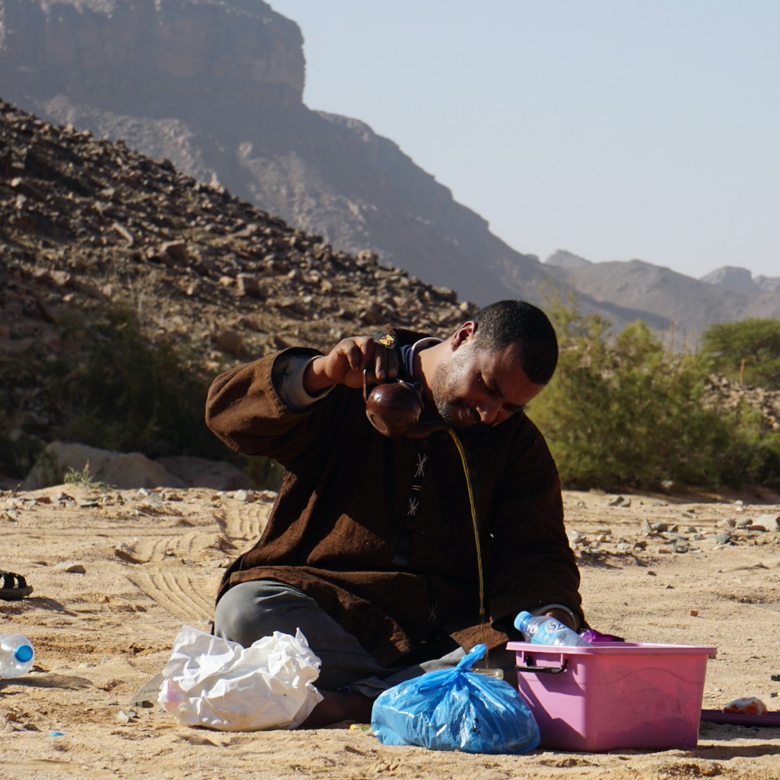
From here we drove south through the dunes to Adrar Chiriet, visible from the summits of Izouzadene, enjoying the classic east Aïr panoramas of dunes lapping against a backdrop of purple-grey plateaux. Driving into the massif, Ibrahim stopped to grab a bunch of wild grass to concoct a herbal infusion for later; a change from the endless Tuareg tea we drank daily. West of Chiriet, a rocky track led to Tchou-m Adegdeg well. Just on the other side of the Teghmert plateau was the point at the Zagado valley where we’d emerged from the Aïr nearly a fortnight ago. Here Tuareg nomads watered their herds and a camel sipped from the bowl in which my shirt stewed in detergent.
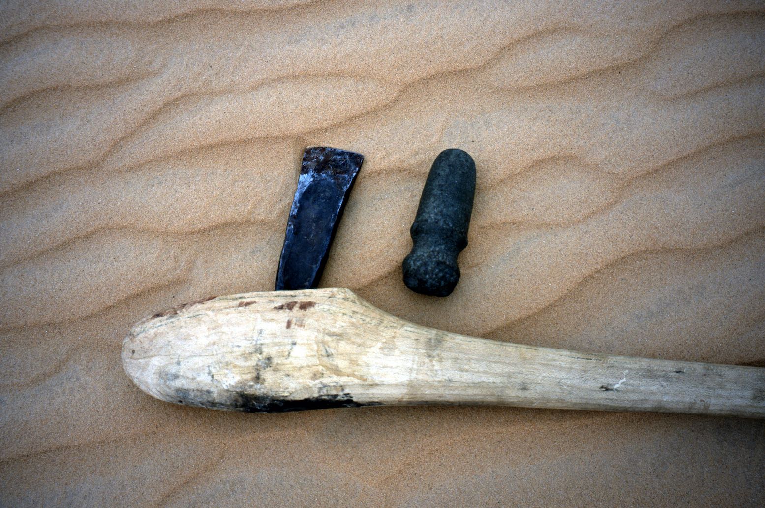
Two axes and a few thousand years in between
Between here and the nearby Tezerzik well is a lovely scenic drive through dunes featuring a distinctive lip below their crests. At Tezerzik the drivers bought a nomad’s sheep for a tenner and slung it on the roof. At the nearby camp in the dunes I watched them slaughter and butcher it with the same casual effortlessness they’d employed to repair the clutch a few days earlier. Interestingly, there’s not much blood when the throat is cut and once the hide has been peeled back the thing in hung on a stake, its ribs pulled apart and the innards removed for the drivers subsequent delectation; we got the tender meat in a cous-cous. Normally I find cous-cous an over-rated North African ‘must-eat’, but the way Ibrahim prepared it, both the millet and the sauce were as good as it gets.
BACK INTO THE AïR FOR AGADEZ From here the desert section of the tour was over and we had a dreary three-day drive back down through Iferouane and the main track via El Meki to Agadez. It was March now and the nights were irritatingly windy, but the drivers were brightening up, pleased to be back on home turf. I had the feeling these last days to Agadez were strung out with unnecessary stops to fill the time. The third night in yet another creek full of thorns and dung, just a couple of clicks out of Agadez seemed unnecessarily stingy. In my experience a tour should end on an upbeat note if possible, not dribble away the final days. I gather the others also complained about this retracing through the Aïr – ‘for fresh vegetables’ they were told, but our last lunch in the bush was all tinned. Despite the day lost in Niamey, maybe we could have nipped out to Enneri Blaka, after all, but I know well you do need to keep a few days in hand, especially somewhere edgy like the Djado plateau. I’m sure Suntours have developed their itinerary carefully over the years, but leaving the desert at the very last minute – along the track from the Tree to Agadez for example, would have been more satisfying.
Agadez mosque
We had an option for a hotel in Agadez that night and, wanting to check the town out in my own time, I took up the offer with the two couples and spent the night the Hotel Tidene near the mosque. I checked out some other agencies but as advised, Agadez itself doesn’t have much to offer. Next day the tour regrouped and set off for the long hot slog back to Niamey, getting home by the skin of our teeth following an Air Afrique strike and cancelled flights. Should I return with my own vehicle I think I’d repeat the recent tour of an Italian friend: leave Djanet without checking out and with stacks of diesel and a Niger visa, then do my own thing in the northern Tenere around Grein, Adrar Bous and down as far as Chiriet maybe. If you get caught at least you have a visa and if you don’t, no one knows any better and you slip back into Algeria (as we did in 2003 on Desert Riders). If anything, doing it this way is less prone to getting hijacked than the local tours whose timetables and routes make them easy targets. But it’s a risk that will probably never go away (and within two years got very much worse).
SUMMARY This tour indeed proved to be a great recce of the famous Tenere I had long wanted to visit. I found the Aïr and its Tuareg life more interesting than I thought, and the run in both directions across the Tenere less impressive than I imagined. The whole Djado region is of course amazing, as are parts of the eastern Tenere bordering the Aïr, but the Tenere is no longer the wild Sahara of my imagination. TV crews and tours have put the place firmly on the map and, beautiful though it is in its entirety, getting off the tracks would have been more fun, something that you can only do yourself and in good vehicles.
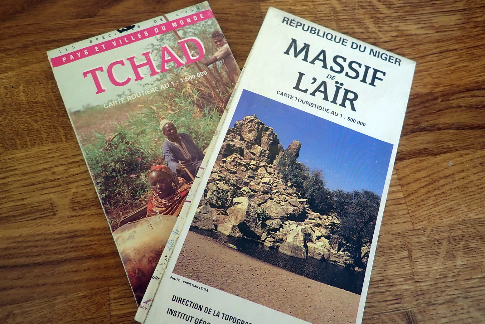
I found this nice IGN half million map of the Air in Niamey. Dating from 1991, it’s a similar style to the Niger country map from IGN but I can’t say I’ve ever seen this one in Paris. In many ways it’s superior to the one million IGNs which are pretty old now and don’t show recent roads. Mine cost me 50FF, plus old paperback and a small argument from the side of the Grand Hotel.
I returned to the Tenere with my own tour for the Eclipse of 2006, and visited many of the same amazing places with another great crew (and ran into Abdullai in Chirfa). Our two-weeker was a perfect Saharan adventure.
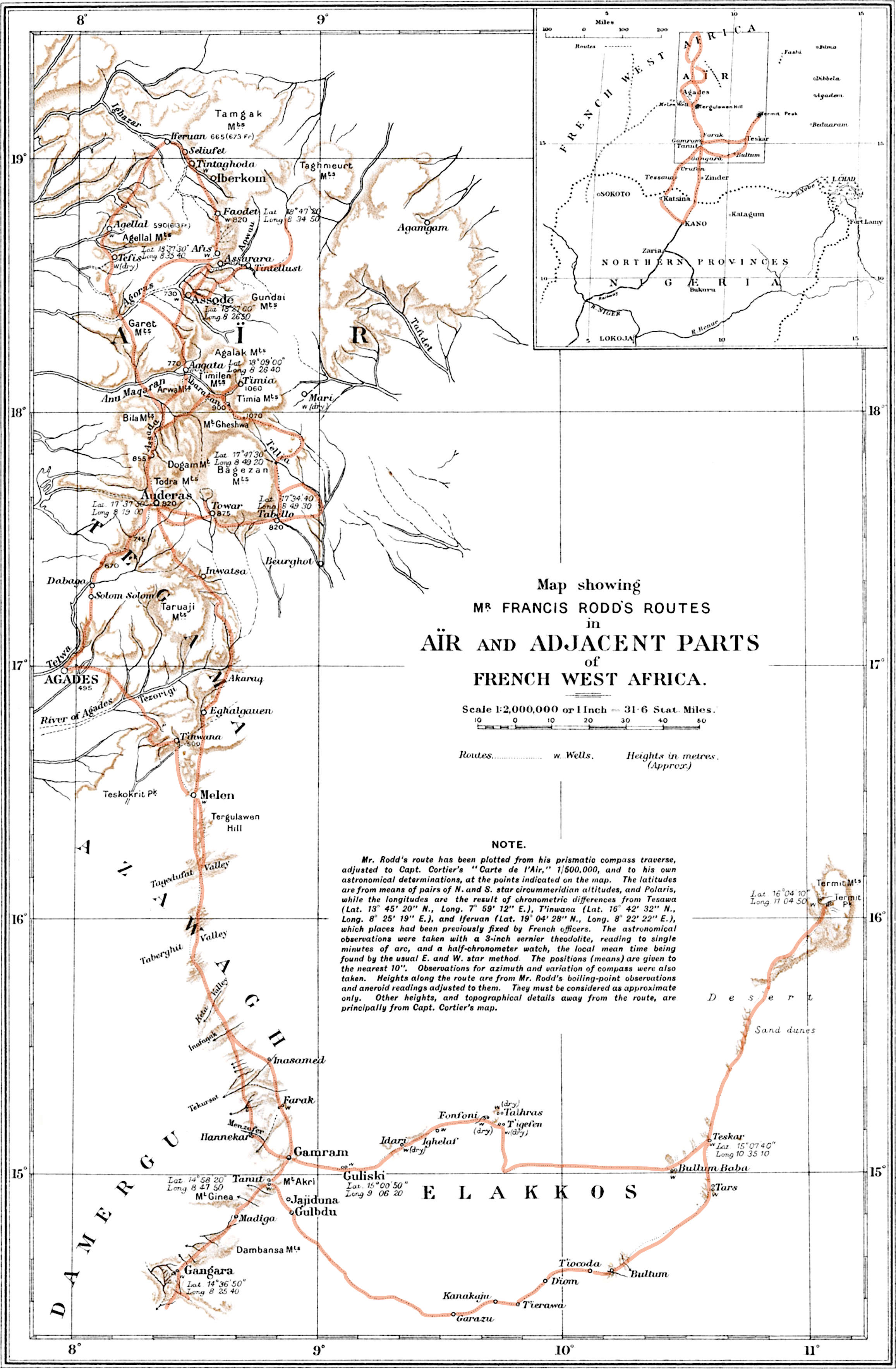
Year’s ago I owned a prized copy of Francis Rodd’s, The People of the Veil (now free online) documenting his travels and studies among the Aïr Tuareg in 1922-3. Not sure I ever actually read it cover to cover, but it remains one of the most detailed ethnographic studies of the Aïr- or southern Tuareg in English. Herni Duverier had written Les Touareg du Nord sixty years earlier while travelling in Algeria’s Hoggar and Ajjer regions. And a decade or more before that, the indefatigable Heinrich Barth had travelled south from Ghat, over the Tenere, down through the Aïr, all the way to Timbuktu then back the long way via Bilma, before dying in Berlin, aged just 44.
I’ve travelled twice through the Aïr (2001, 2006) and both times was struck by how much more ‘picture book’ the Tuareg of the Aïr were (below), compared to those in Algeria. Even if they were playing up for us tourists, it all helped fulfil one of the best Saharan circuits you could do at that time.
Tuareg swordsmen and women (who do not cover their faces)
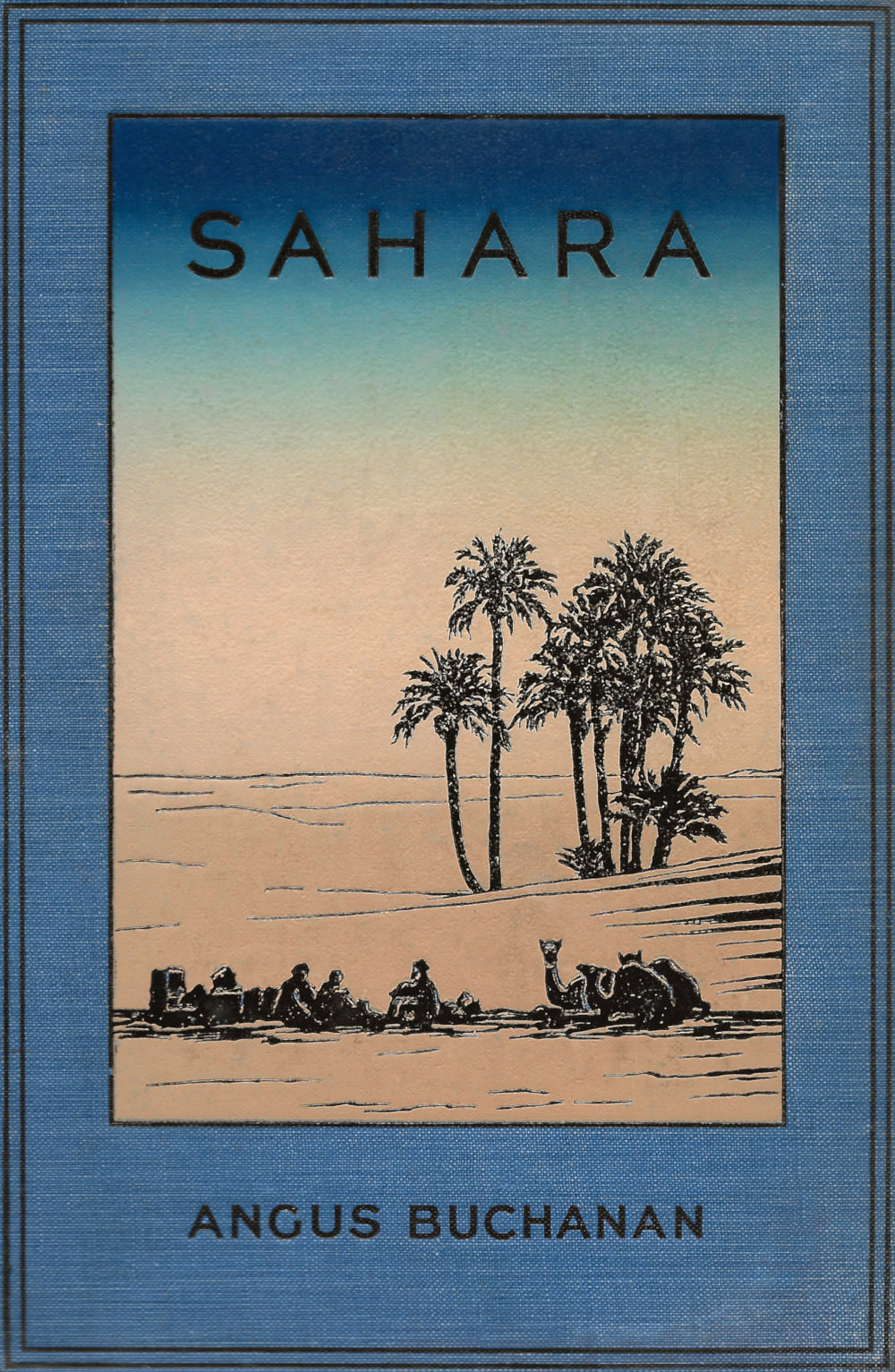
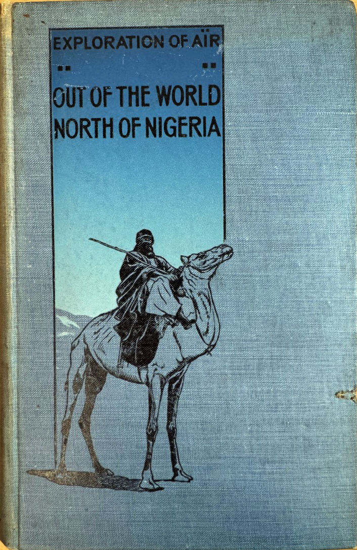
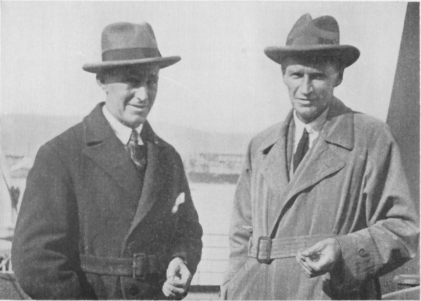
Born in Kirkwall, Orkney, aged 20 Angus Buchanan (1886-1954; bio) emigrated to Canada where he briefly ran a construction business before serving in the East Africa Campaign during WW1. By now with a keen interest in natural history, in 1919 he travelled by camel from Kano as far as Iferouane, later writing up Exploration of Aïr: Out of the World, North of Nigeria (right). Rodd was a Mayfair-born aristocrat, colonial administrator, diplomat and banker, and invited himself on Buchanan’s second, 1922-3 expedition to the Aïr. Again with the support of the British Museum and 2nd Baron Rothschild (a keen zoologist), Buchanan was tasked with amassing animal specimens. Perhaps because he covered it all in Out of the World, Sahara is not a chronological travelogue, but covers diverse vignettes such as caravan life, camp fires, raiders and so on. One chapter is a rather cheesy first ‘person’ biography of Buchanan’s beloved camel, which promptly died soon after they parted ways, 14 months later, and to whom he dedicated the book.
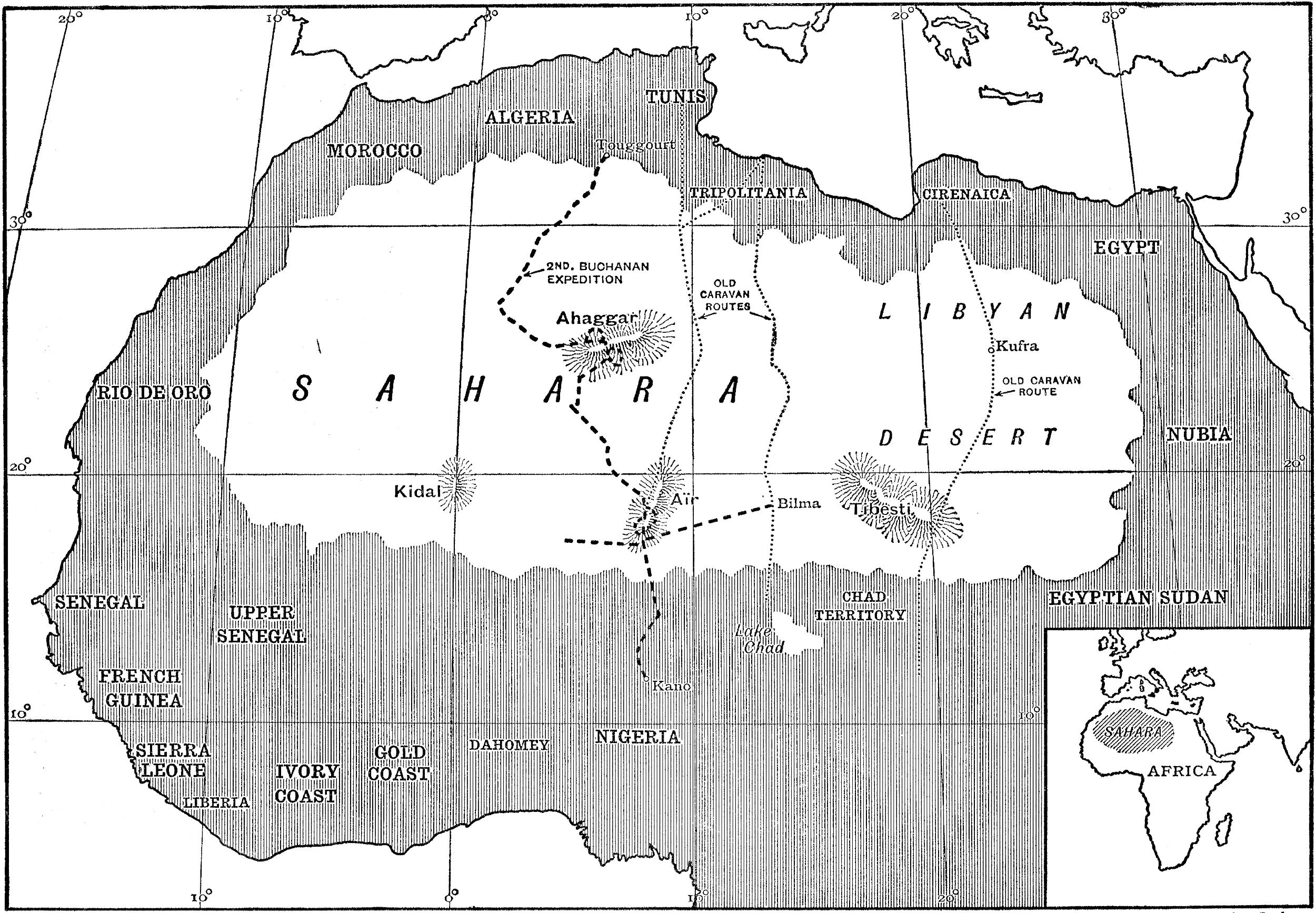
The only map in the book. Note the British habit of separating the [French] ‘Sahara’ from the [more British] ‘Libyan Desert’.
Rodd’s travels 1923 (route highlighted)
Rodd returned from the Aïr after nine months, while cameraman T. A. Glover completed the whole 3500-mile trek to northern Algeria with Buchanan. But beyond this brief credit up front: “My companions were: Francis Rodd… and the cinematographer… T. A. Glover” – these two pass entirely unmentioned in the text, bar at the very end for Glover. Rodd does not even get a picture. They must have shared many experiences, and in Rodd’s book (his route, left) Buchanan is mentioned over two dozen times. Perhaps they went their separate ways once in the mountains? Or perhaps they did not get on, as so often happens in the Sahara. Or, lacking a family crest, ancestral pile and Eton & Oxford education, could the class gulf have been too great for the self-made Buchanan? The rather tortuous paragraph below from the preface of his earlier book hints at an insecurity about his ‘uneducated’ status as a gallant explorer. But like the similarly ‘low-born’ René Caillié, their achievements in advancing our knowledge of the Sahara speak for themselves.
It might be said that the traveller [himself] was a rude man, for he was untutored in the deep studies of the scholar of many languages, as in a measure might be expected and understood of one whose occupation called him from day to day to don rough clothing and shoulder a rifle and march outside the frontiers of civilisation.
Elahu, ‘[Buchanan’s] head camel-man, and a ceaseless worker of exceptional ability. He is one of those very fine natives whom a white man may win and come to hold in esteem, conquered by sheer value of labour and fidelity.
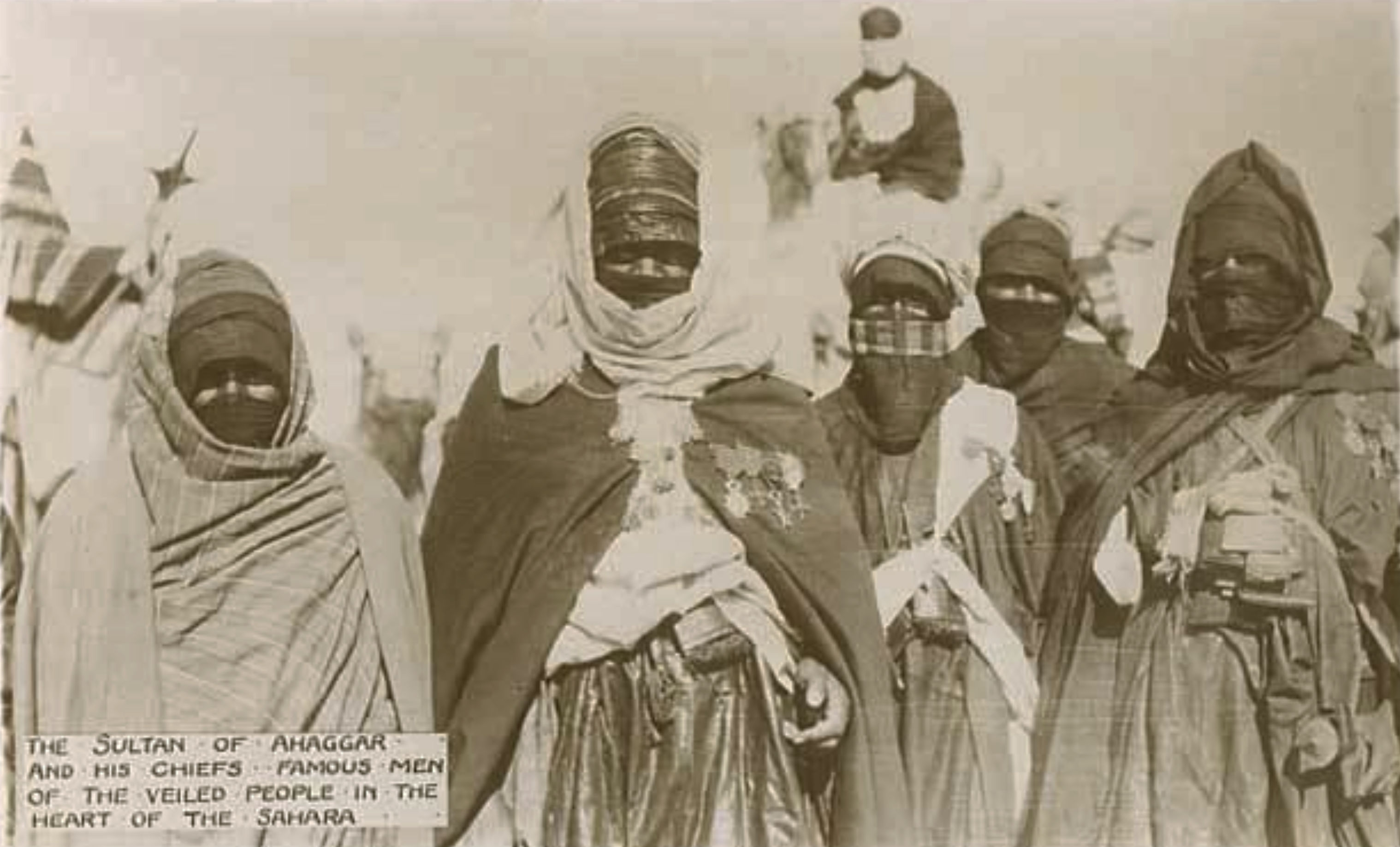
In his earlier book, he described the Tuareg as ‘the strangest race I have ever come in contact with independent, haughty, daring, unscrupulous, and lazy in leisure, yet fit to rank among the finest travellers and camel-riders in the world.’ And in Sahara, the chapter titled The People of the Veil (like Rodd’s book), he elaborates on the aloof, mysterious and warlike nomads: … they who are pre-eminently a class unto themselves, and they who are responsible for much of the romance that has given to the Sahara a world-wide mystical fame. He’s not the first to distinguish their noble demeanour from other desert dwellers, so aligning the Tuareg with what were considered the best ‘white man’s’ values. As you’d expect, some captions and observations show the casual racism of that era, implying the superior character of the ‘almost white‘ Tuareg to those around them – something you rarely see said of an Arab (unless you’re Wilfred Thesiger or T E Lawrence). Battier theories have aligned the chivalrous Tuareg with a lost tribe of Crusaders, often misattributed to the popular Tuareg cross.
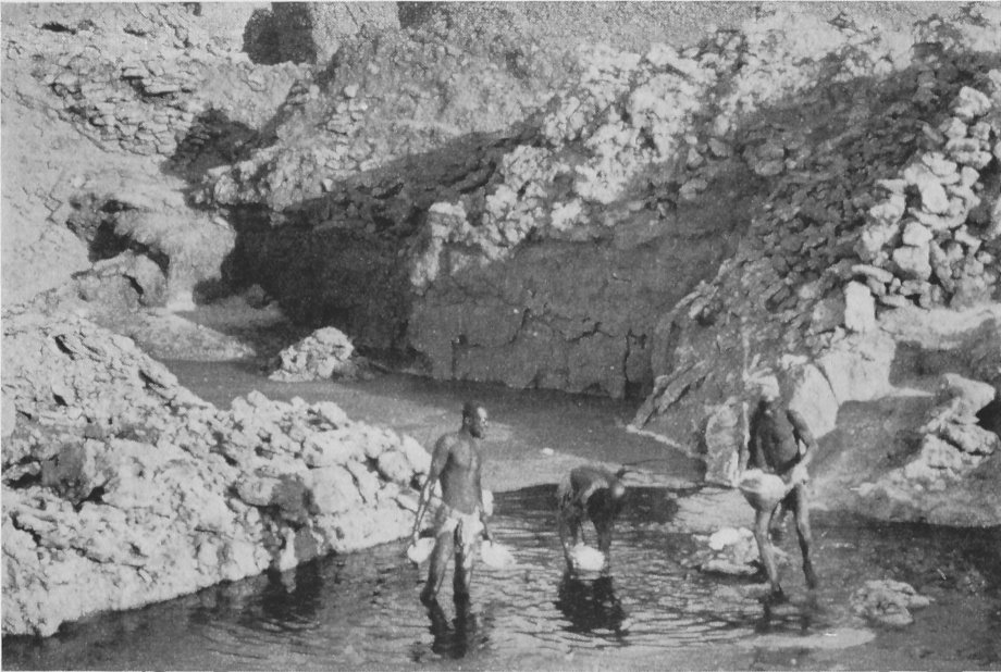
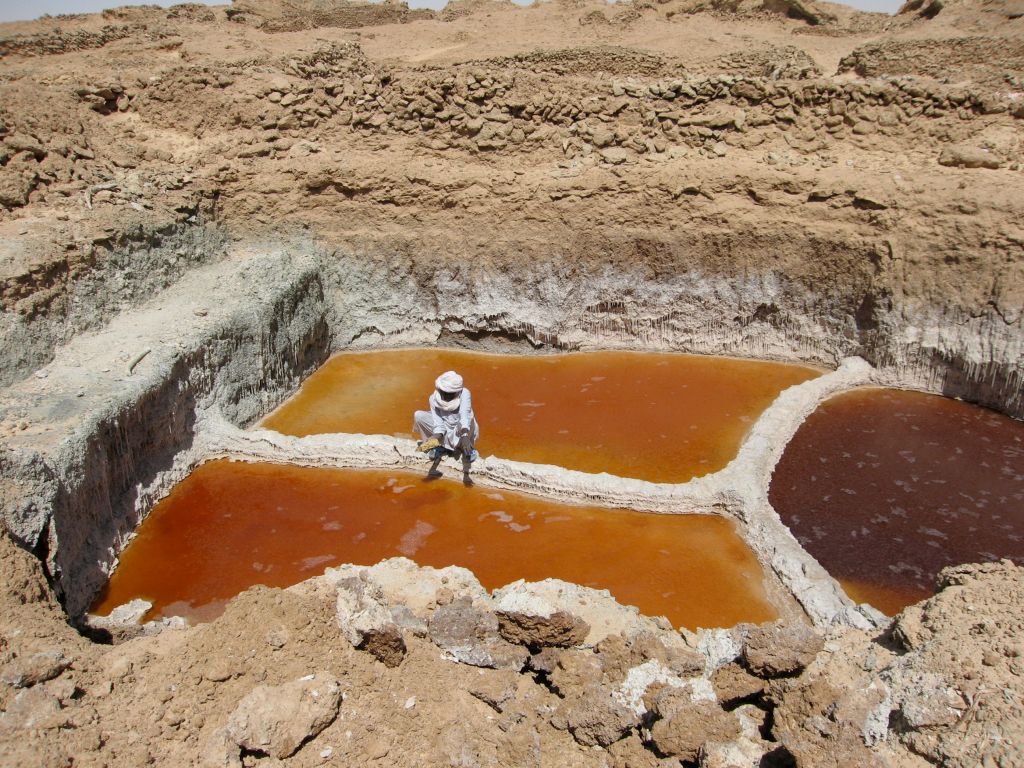
An interesting episode describes joining the ‘Taralum’, better as known the great Tagalem or azalai salt caravan covering 800km from the Aïr foothills east through the dunes to Bilma oasis and back. Though Bilma had been a French outpost since 1906, it’s possible that Buchanan and Glover may have been the first Europeans to undertake, or at least record, the famous forced march leading many thousands of camels to bring back salt cones from the Bilma salt ponds (below).
Bilma 19232006
Along the way Buchanan manages to give a vivid description of the remote oasis of Fachi (‘A City of Shadows’) and its Beri-Beri (or Kanuri; ‘from Kano’) occupants, as well as the ancient origins and commerce of Bilma. These chapters read with a little more vitality, possibly because they cover new territory for Buchanan. A few years later he went on to write a novel, The City of Seven Palms whose title is based on Fachi.
salt pillar and mould, 1923Collection fallen salt pillars (2001)
In the style of the era, Buchanan heavily romanticises his travels, the people he meets and the stories he hears. A chapter called The Hand of Doom recounts what sounds like a tragic Tuareg legend about a chief who doggedly pursues bandits who’d abducted his wife Kahena, ‘the belle of the tribe‘, only for them to die in the desert once reunited. It bears a resemblance with the novel, L’Atlantide, also from that era The narration of this tale slips into a goofy, proto-Shakespearian prose, but fear of raiders was still a very real menace in the 1920s, whether ‘Arabs’ from Ghat, Tubu from the east, or just other Tuareg clans on the prowl. In fact right into the 2000s and the advent of jihadist ransom kidnappings, bandits would occasionally rob tourist groups and agency cars in the eastern Aïr, while other parts of the Sahara remained relatively safe.
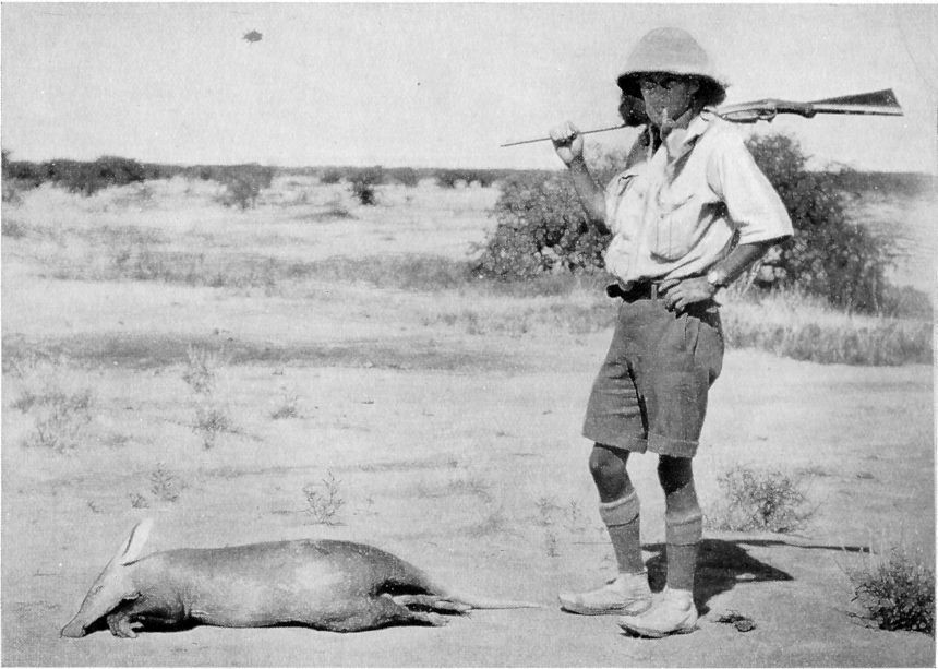
Dead aardvark
Sahara draws to a close with a listing for no less than 207 birds and 64 mammals, some unknown to western science. The expedition’s primary mission was to shoot and collect these animals for museums back in the UK, and Buchanan was bitterly disappointed that he missed the chance to shoot the last lion of the Aïr. It had been speared while harassing villagers near Timia. Meanwhile… Giraffe was seen only once, he adds, but on a number of occasions their fresh tracks were crossed. These were left unfollowed, as a specimen of the species was not wanted. Along with many places names, another odd omission were pre-islamic tombs and prehistoric artefacts and rock art (below) which Buchanan must have come across, and Rodd records in his account. There’s no mention of either in his earlier book, either.
Anakom: spaceman with handbag
Though also not mentioned, research elsewhere reveals that the French had only a few years earlier forcibly cleared out the Aïr’s Tuareg clans, which was how many ended up in northern Nigeria. As a result, Buchanan frequently describes an impoverished land of rude dwellings and destitute, starving people. Indeed, the sand-surrounded oases were almost as appallingly barren as the desert around them, except for their groves of dates, which bore no fruit at that season of the year.
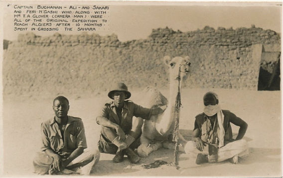
Another disappointment was that no description was given of the final crossing from the Air into the Hoggar and across Algeria. The striking image above was found somewhere online, and the basic map does indicate a couple of exploratory circuits in the Hoggar before swinging out west into Adrar Ahnet on the way to In Salah and Ouargla for the rail head at Touggourt (below). Here the camels were unburdened of their vast trove of specimens, and the two Brits (left) – presumably deeply exhausted after well over a year on the trail – continued with their loyal manservants Ali and Sakari to the UK. As mentioned, his steadfast camel soon died, as had most of the 35 camels who left Agadez, as well as two of the crew.
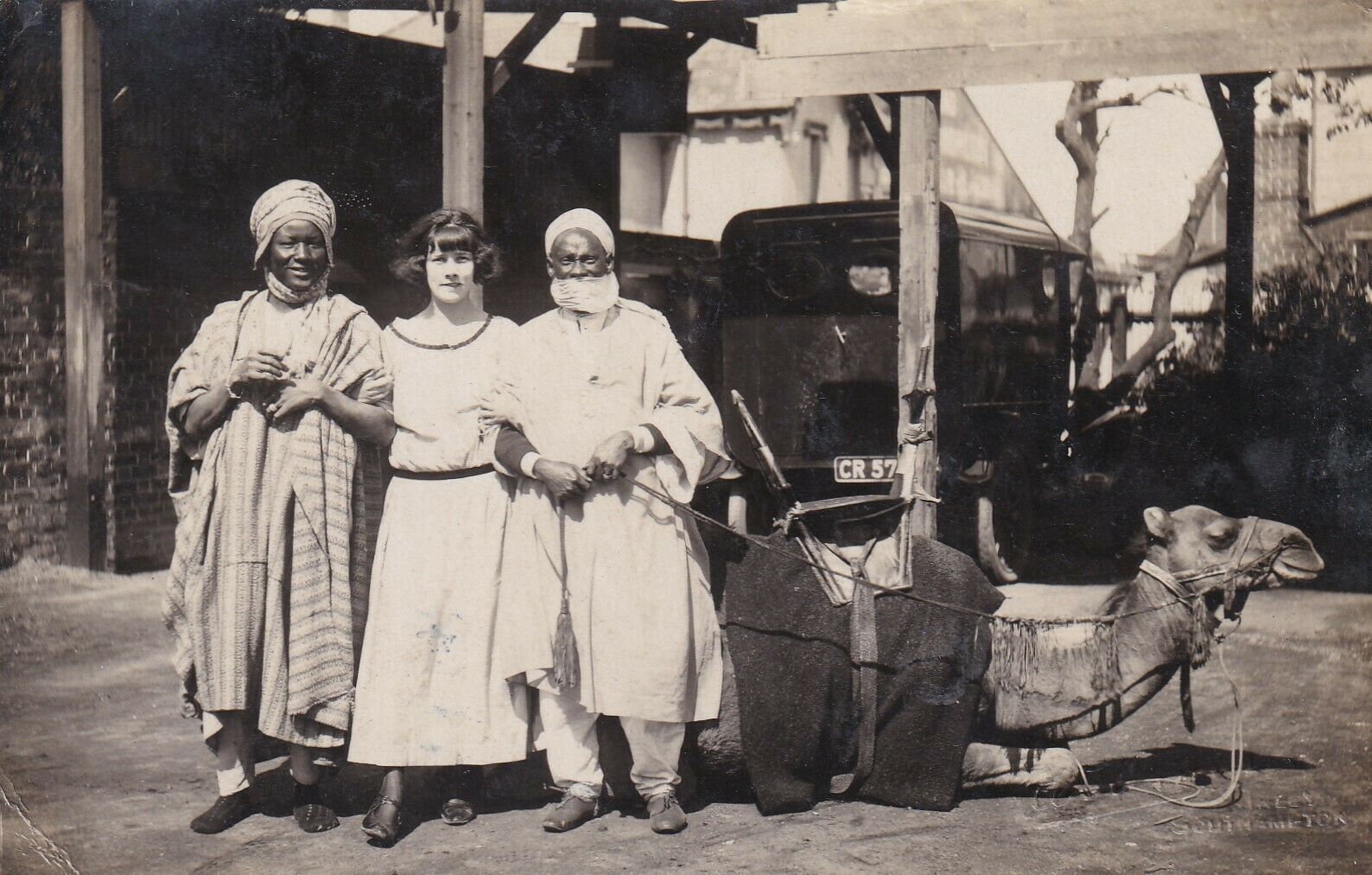
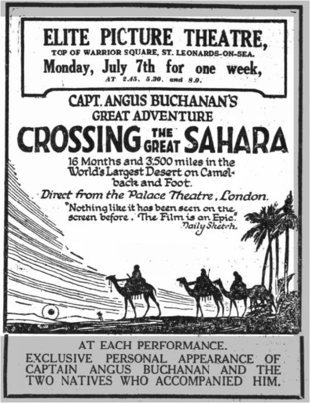
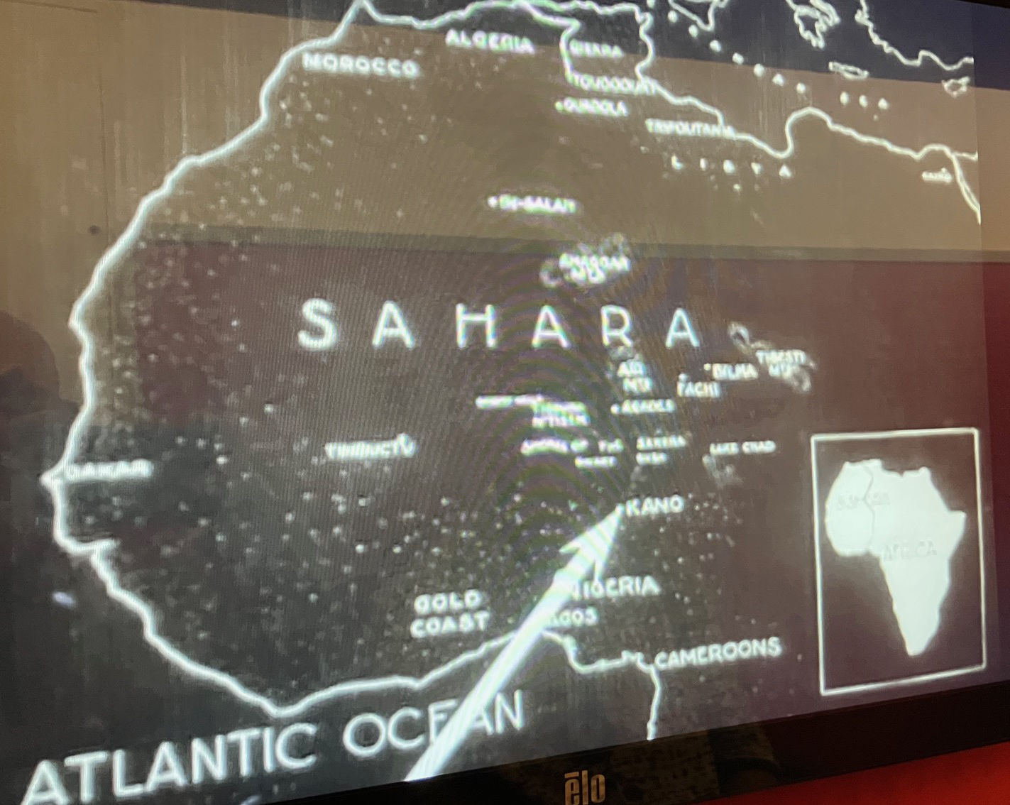
Back in England the press ran with the adventure and a film, ‘Crossing the Great Sahara‘, was soon produced. All four (and possibly some camels) went on to become part of a travelling roadshow in the UK and Europe. Left, a girl posses with Ali and Sakari and a camel at a screening of the film in Southampton.
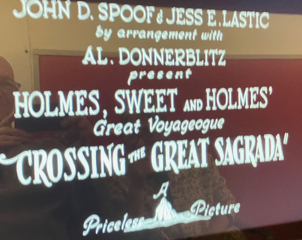
The film is archived at the BFI, but while not viewable online, you can easily walk into the BFI’s Mediatheque viewing library on London’s Southbank and search for it the database. It’s the oldest Sahara film listed, but unfortunately only the first couple of reels survived or got digitised. In 20 minutes all you see is the grand departure from Liverpool, some British dignitaries in Nigeria then various Hausa and Fulani bush folk performing for the camera. What there is is well shot; what a shame the rest is missing and we never get to see the Aïr. It must have been a huge effort to shoot it all. One interesting caption was an observation along the lines of ‘Was this where Blues originated?’, presumably in response to hearing African music. I know that connection was widely repeated once World Music came on the scene in the 1990s, but did not know it went that far back.
In fact, so popular was Crossing the Great Sahara that in the same year a spoof, Crossing the Great Sagrada, was also released, decades before Monty Python or ‘Ewan and Thingy‘ got in on the act. We watched that too at the Mediatheque. It’s a bit silly.
All in all, I ended up wondering if Buchanan’s account of his first foray of the Aïr may have been a better read, thrilled as he would have been by the novel experience, even though it ended with a debilitating fever.
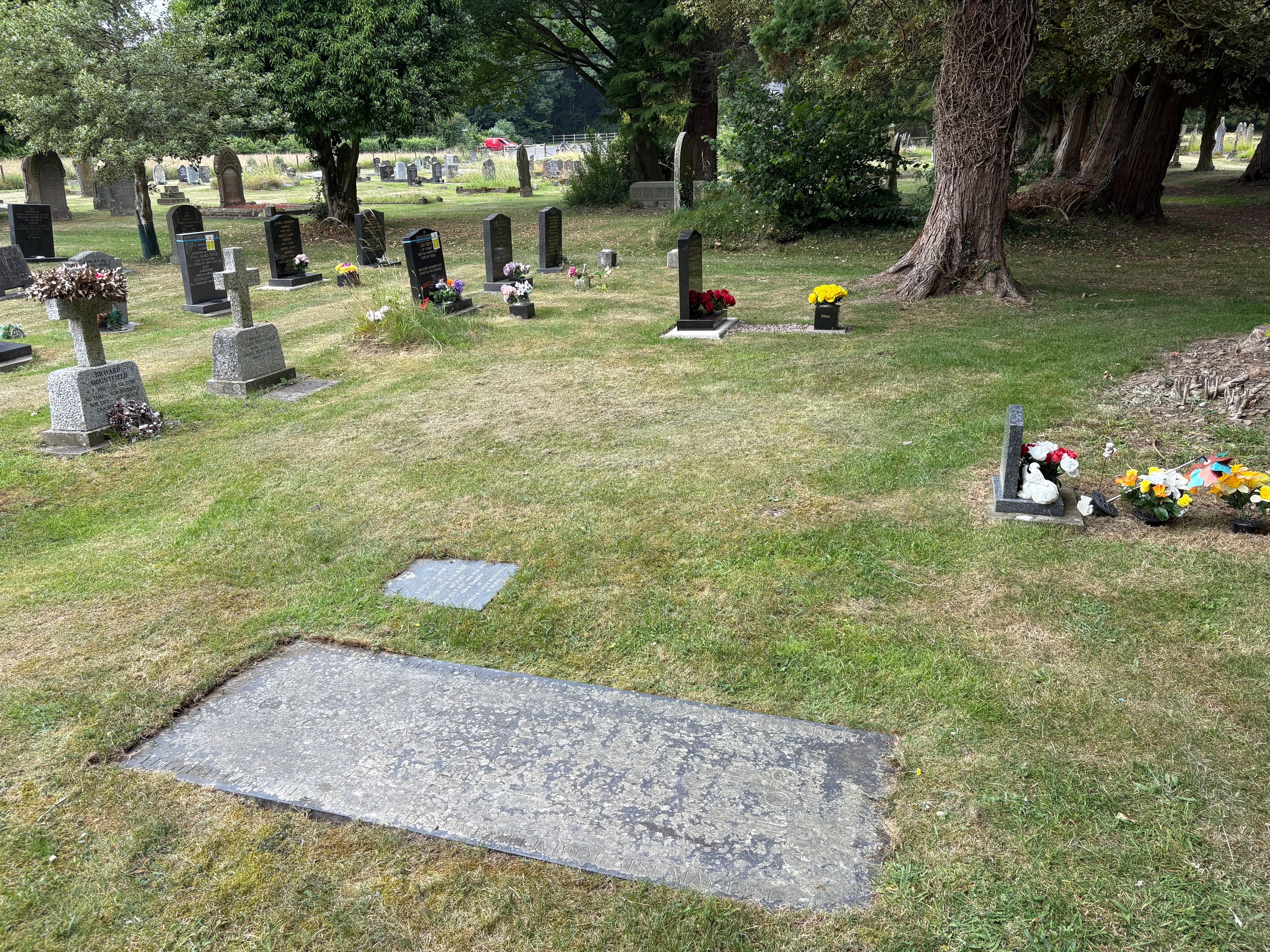
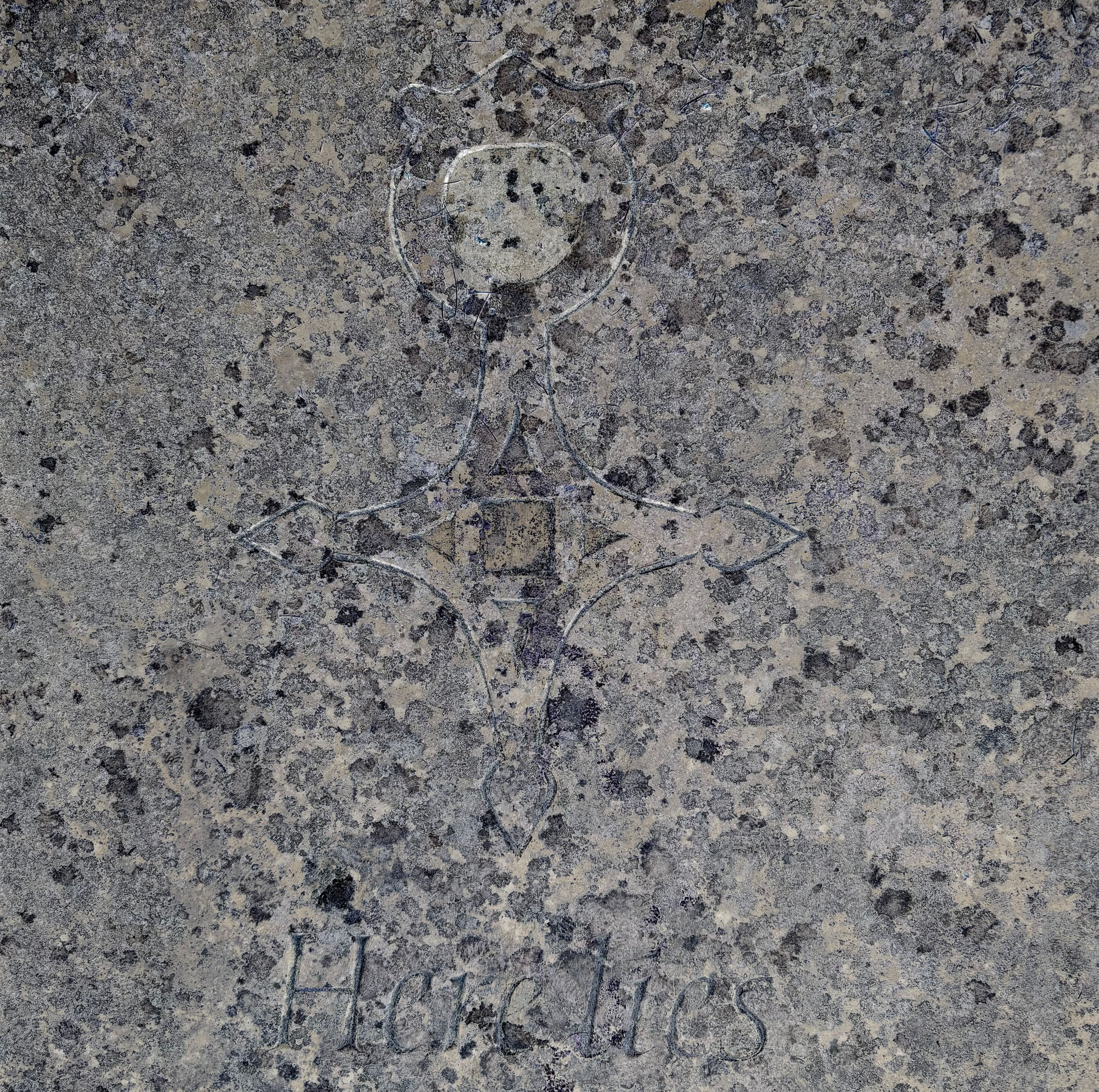
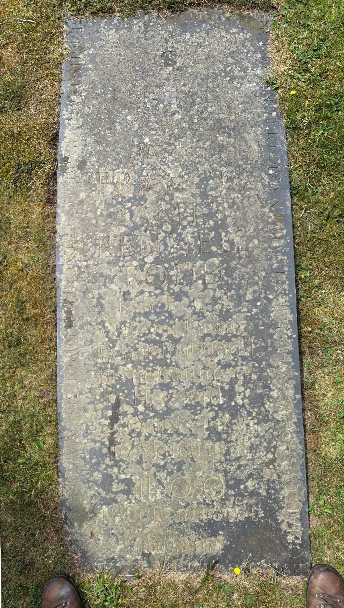
Rodd too was clearly deeply influenced by his shorter spell in the Aïr. His gravestone in Presteigne cemetery (above) features the Tuareg cross of Agadez, as well as the enigmatic Tifinar epigram embossed on the cover of his book (below) which Rodd translated as ‘Naught but Good’.
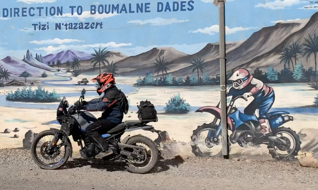
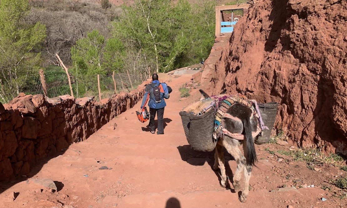
Curious about the Royal Enfield Himalayan 450, Desert Rider Jon and I rented a couple for eight days in the High Atlas. The bikes proved to be a bit of a disappointed (my review), but I was reminded what makes southern Morocco special: the hills and mountains, not the over-rated desert which many visitors seek to experience. We were checking and adding to routes in my Morocco 4 guidebook as well as the Trans Morocco Trail. The last time Jon and I rode together was in 2003 out to the Tenere Desert on Desert Riders. Now that was proper desert. and here were proper mountains.
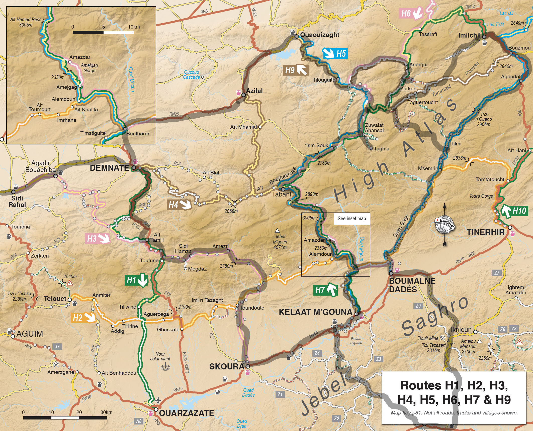
The night before we left Marrakech I’d failed to plan a good way out of the city, and now the Garmin was leading us straight into the souk on an updated OSM map I’d just installed, then routing more dumb detours off the main road to Demnate. I checked the Montana’s prefs; switching maps fixed things. We were on our way to Anergui, tucked in a remote High Atlas valley about 300km to the east.
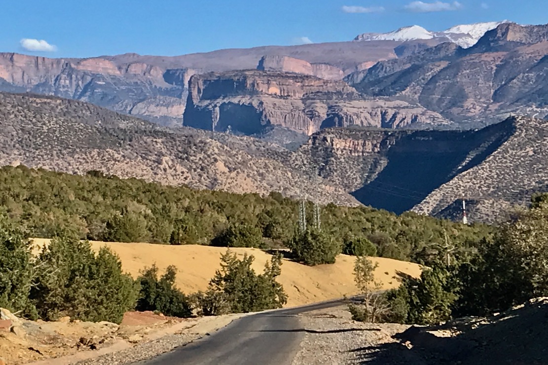
After a nous-nous in Azilal and the same for the bikes in Ouaouizaght, we passed behind the depleted reservoir and turned into the hills. Approaching Tilouguite, the last town, I was struck by the epic view (above) up the Imsfrane valley to the Cathedral crag and the Tammast plateau beyond. This would be where we’d be riding for the next few days.
The road ends near the bridge in Imsfrane, and the last 40km into Anergui follow the stunning Assif Melloul gorge (above; video below) which comes out into the Anergui valley.
Ouaouizaght to Anergui via Assif Melloul gorge
Yam TTR 315. Nice
At the Assif Melloul auberge we met up with TTR Simon, as well as a couple of Germans who’d both just discovered the TMT. The day before Simon had caught up with them on Stage N which had just become accessible after months, but they’d struggled along the gully, 32km from Bou Azmou. Acknowledging similar feedback from others, we’ve since rerouted the start of Stage N along a new road out of Imilchil.
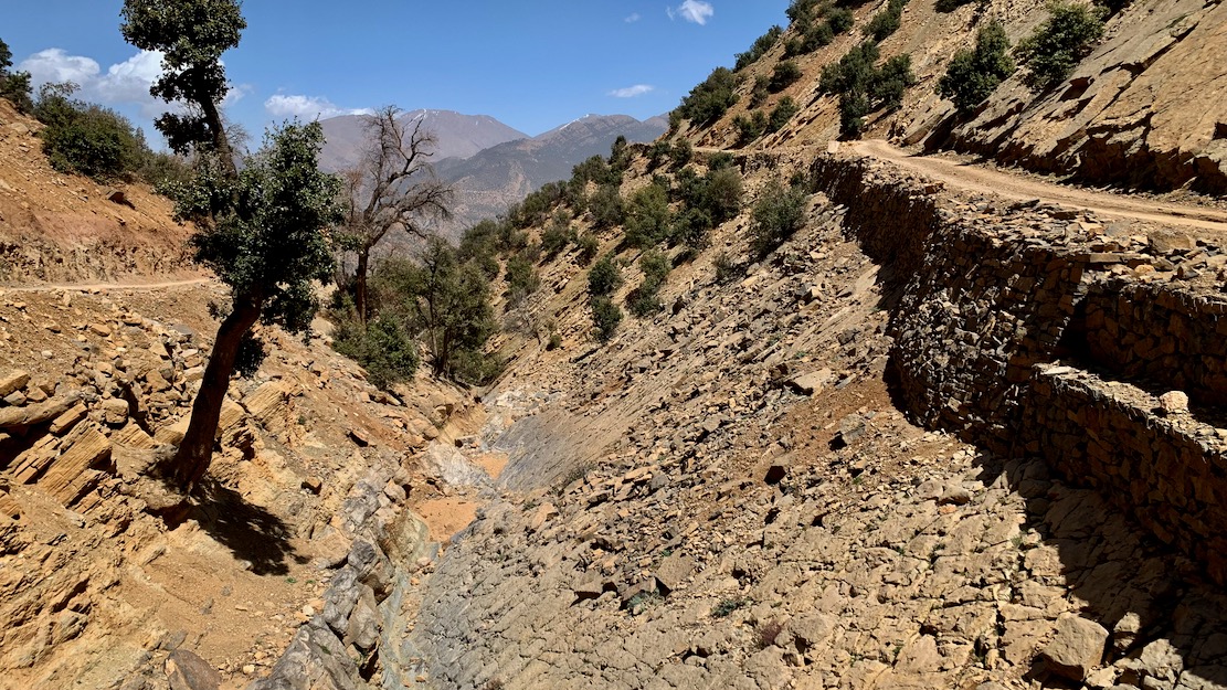
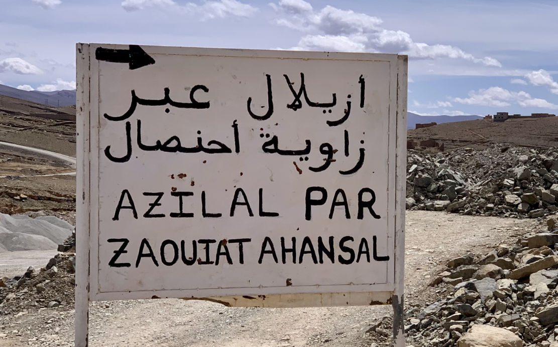
The following morning the three of us set off for a day trip to the Taghia cirque behind Zawaiat Ahansal, taking the newly repaired climb south out of Anegui which in early 2024 James and I had probably been the first to descend (left), just before it was completed. The bridge at the south end of Anergui was already semi-collapsed following the September 2024 rains, but the track up to the plateau was now in great shape.
Taghia
No yet bike fit, the short ride through the cleft into Taghia (above) was a bit rough, and by the time we popped back out, it was too late to be recce’ing new tracks, as planned, so we bombed back down to Imsfrane and back along the gorge to Anegui. On the way we met some French climbers heading for Taghia in a Duster rental with the same engine warning light we had a couple of years back. I assumed it was another loose turbo hose, but that looked fine which probably meant either a dodgy sensor or the turbo was on the way out. There might have been some life in it, but we advised them to turn back.
Next morning we took our third pass along the Melloul gorge, now lit by the rising sun, and in Imsfrane located the turn-off for the steep ‘Talmest VOR’ rising up behind the famous Catherdral crag to the snow line. I’d been wanting to do this one for years and the contours did not disappoint, with great views onto the back of the Cathedral and over watersheds to adjacent valleys.
We were only a little miffed when tarmac set in about halfway, at Igherm n Talmest to the Ahansal high road. At Ism Souk I asked some old men about the long, high track over to the Dades valley, but they pointed to the nearby snowy slopes with a shake of their head. Little did I know in a few days we’d find another way over to Dades.
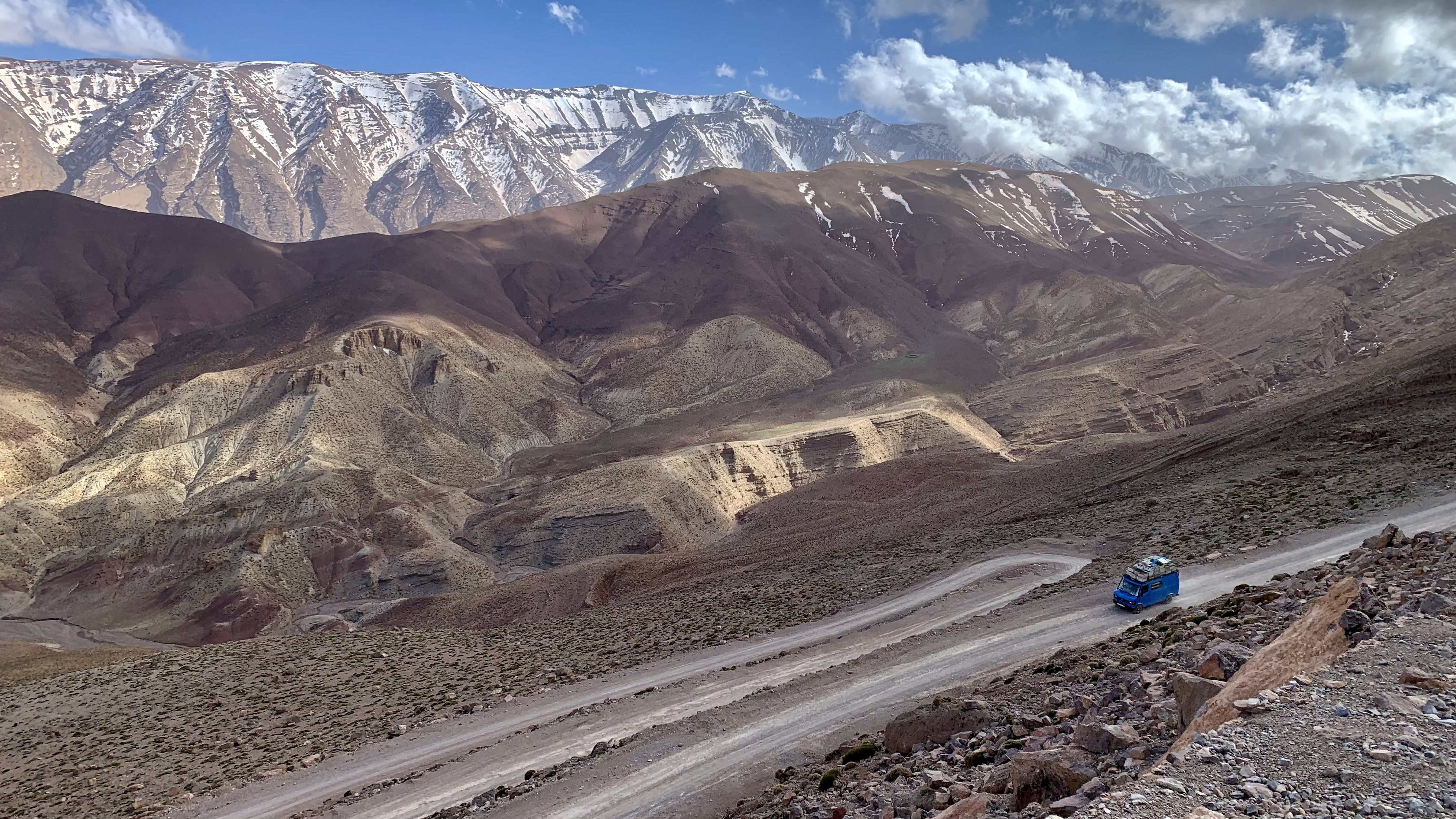
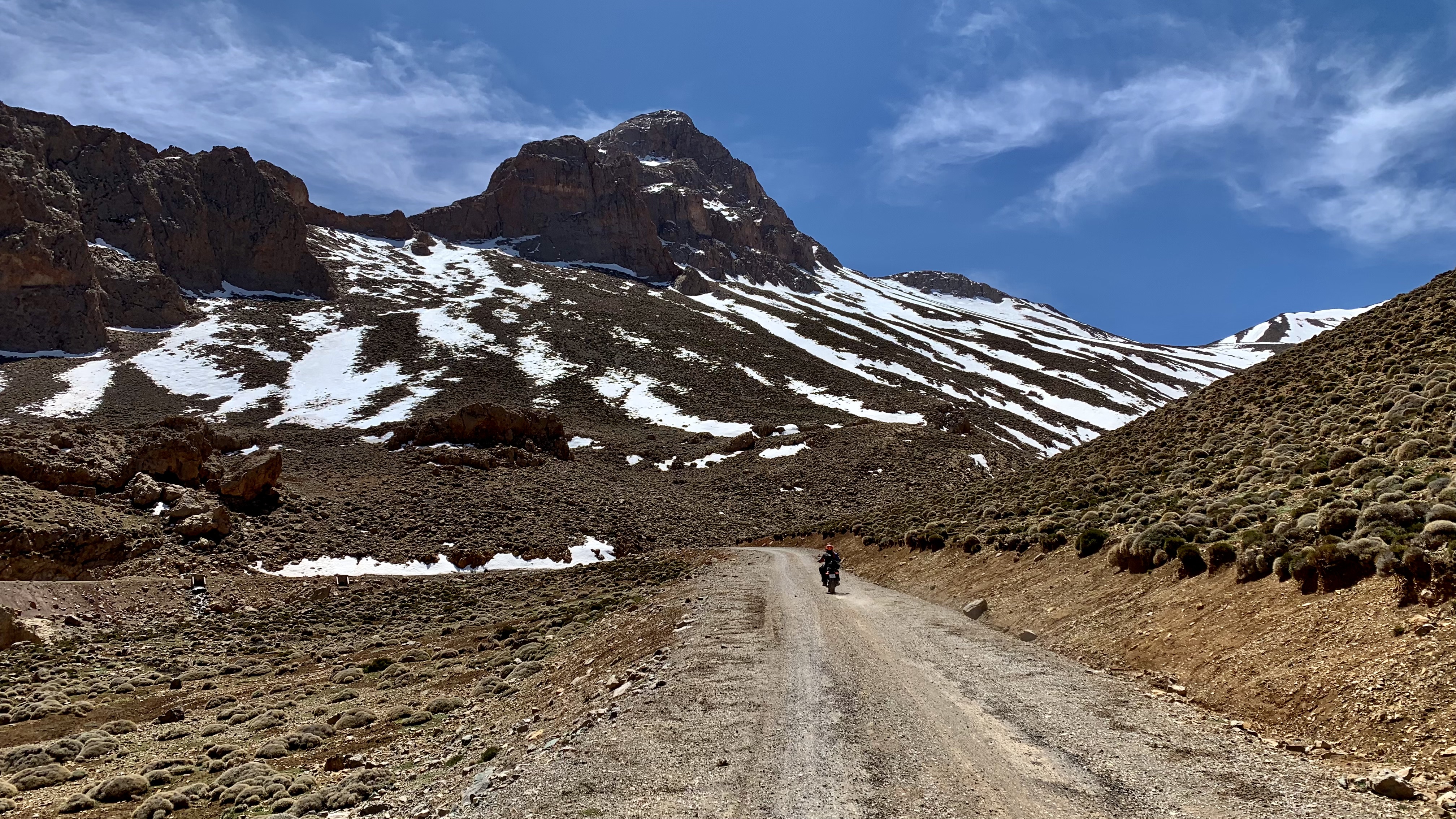
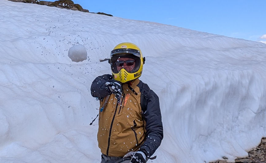
Near Tabant we bought a couple of litres of fuel for the bikes then carried on over the snowy High Atlas passes down to Kelaa. Near Alemdoun the other two missed the turning for the unsealed Amegag gorge route (above) which I followed, knowing we’d catch up. It’s a nice variation, but flood prone (hense the road over the pass). Within a couple of days it was washed out by rains again.
We’d taken a juiced-up version of Stage P on the Trans Morocco Trail but whichever way you do it, Anergui to Kelaa is one of the best mountain days you’ll get in Morocco.
After overnighting near Kelaa, Simon headed back to Marrakech, soon running into TMT co-founder Ed Gill nosing about on his even older Yamaha XT600, while, Jon and I set off over Jebel Saghro to Nekob, along Stage Q or Routes Z2 and Z1 in reverse.
I’m convinced TMT Stage Q, southbound across Jebel Saghro, doesn’t do this mini massif justice, but anything else would pull the TMT even more off line. If people want them, better tracks are all there in the book or on the maps. Arriving in Nekob, it was a lot warmer even if it’s still at 1000m asl. Down in the desert it would be baking. The morning’s track had given me another beating, leaving me with sore hands and a sore butt. After a nous-nous or two in town, we set of for our out-of-town auberge.
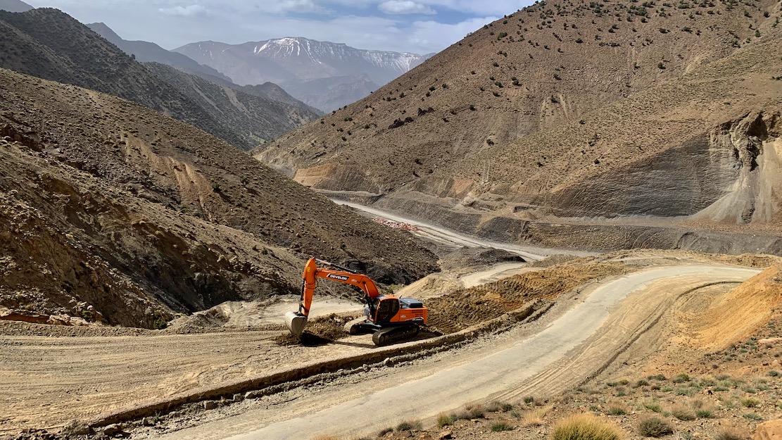
We swung back north to Imilchil next day, finding the Ouano pass finally sealed, making it the fifth sealed High Atlas crossing. After a long road ride, it sure felt nice not to have been pummelled by the trail.
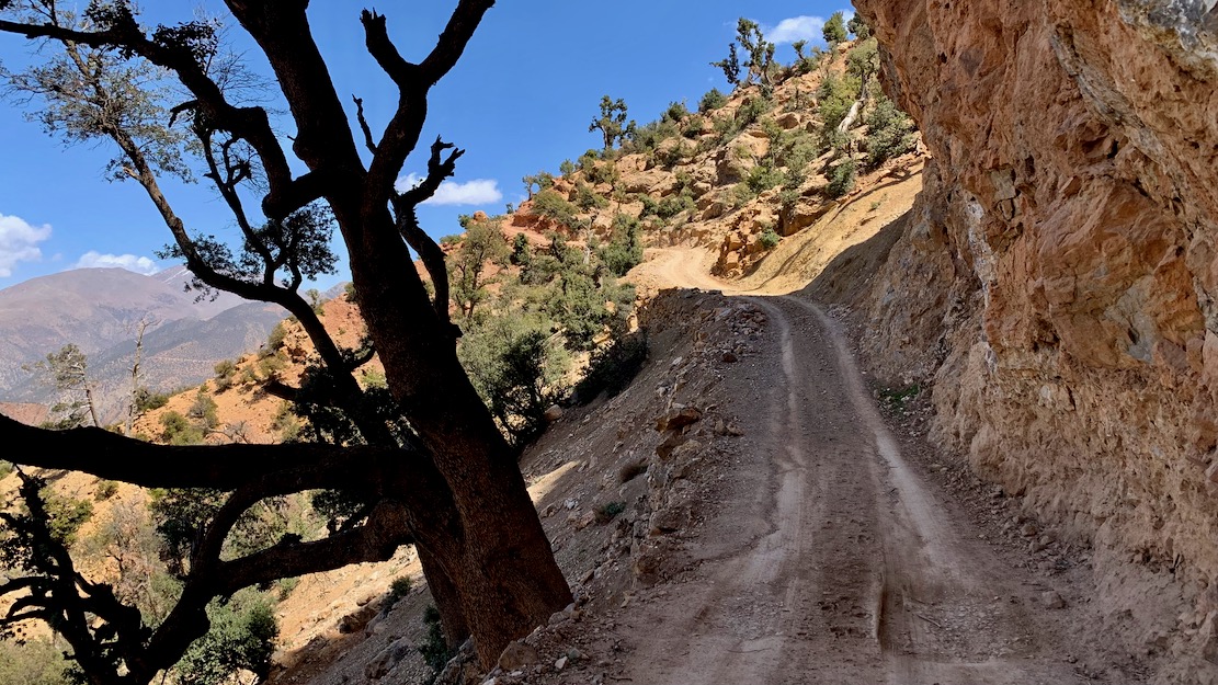
Still, none of that stopped Jon and me having a brilliant last couple of days in the High Atlas. We recce’d a new road start to Stage N out of Imilchil which now joins up just west of the troublesome gully, then followed the rest of amazing Stage N back to H9KM85. Here we took a chance and turned south along an old road that lead deep into the hills and seemingly ended at a remote village which is a dead-end OUT in the book.
But soon after we set off, two travel bikes passed us, which suggested either they’d also just tried and failed to get anywhere, or they’d found a way over the watershed from the Dades valley. No map I had showed this trail and on satellite, tracks went all over and who knows what shape they’re in. In the end, with a couple of correct turns, we managed to span a little known 50-km off-road crossing of the High Atlas back to the Dades valley, peaking at over 3000m.
We rolled into the riverside Auberge Tissadrine, just below the Dades hairpins. For 500D HB, it’s money well spent in this gorge packed with lodgings. From here, next day we took the H2/H6 short cut to the Rose (Mgoun) valley but found it pretty roughed up, though popular with supported MTB-ers. Annoyingly, I misjudged one of the two mud holes we saw in 3000km and dumped the Him which added to the sourness of doing this track and cost me 80 quid for a bent crash bar ;-(
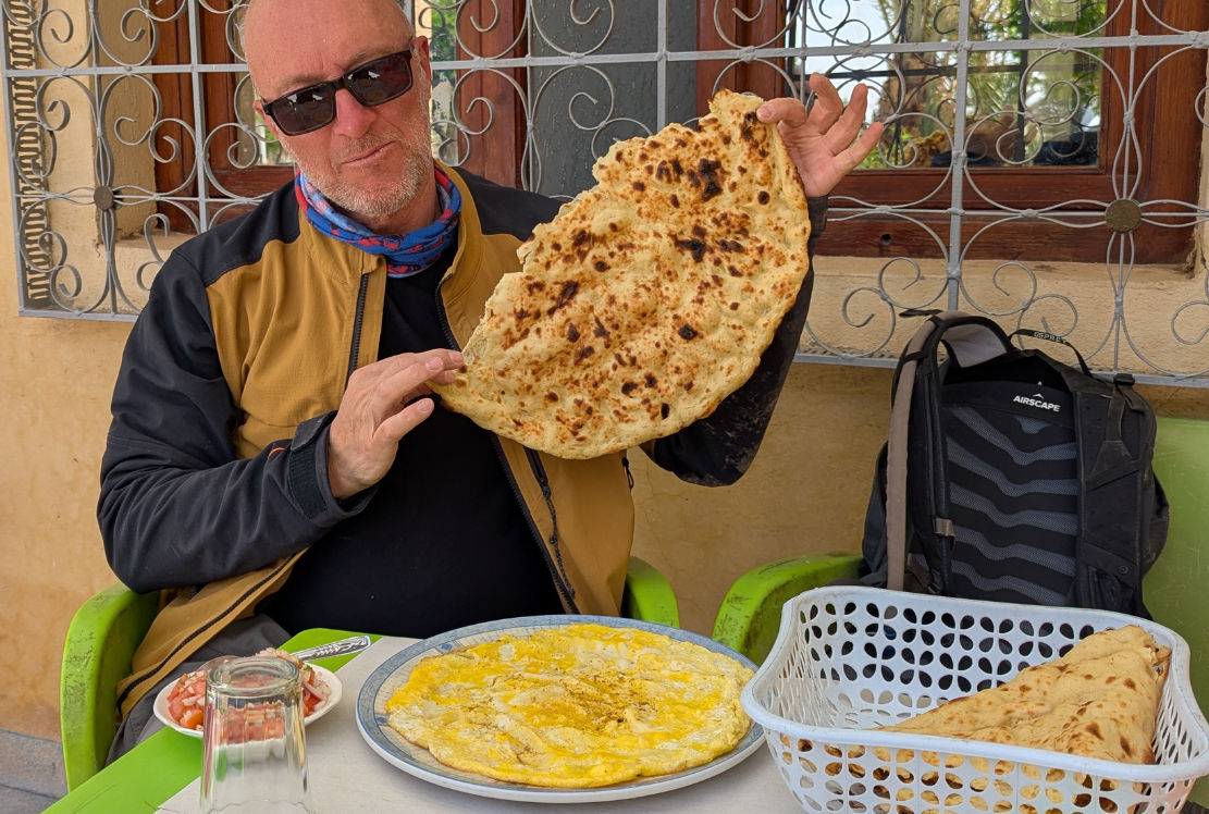
Near Skoura, we could not fail to pop into the Inov roadhouse for a tafernout flatbread and omelette. That done, we swung north towards Amezri, reversing Route H3 which I’d not done since 2019 on my old Himalayan 411. I had a feeling they’d since linked the road along the gorge to Ait Hamza (H3KM126). Turns out I was wrong: they’ve extended it a bit, but it still involves a short stretch of flood-prone riverbed, as well as some precipitous tracks carved out of the cliff or on top of landslides.
It was a great finale to our High Atlas adventure, topped off by a night at the gite in Megdaz, a few km from where the road resumes. You have to leave your vehicle at road’s end and walk a stony village path for 400m. The price on booking was only 10dh, plus 100dh ‘tax’, but they made it all back on the dinner and breakfast. Nice to visit a new place and lovely village viewed from the rooftop.
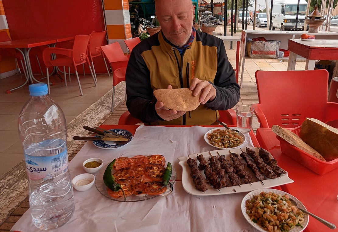
All that remained was a blast up the N23 Demnate road, still chocked with roadworks, followed by brochettes in Sidi Rahal middway through a windy ride to Marrakech. All around the skies were darkening, bringing rains which were about to mess things up in southern Morocco for a few days. In just one week I felt like I’d seen loads, had updates for just about every H route in the book, and tried out a bike which I won’t be buying. I’m already planning more mountain exploring in November, but I’m gonna need a lighter bike.
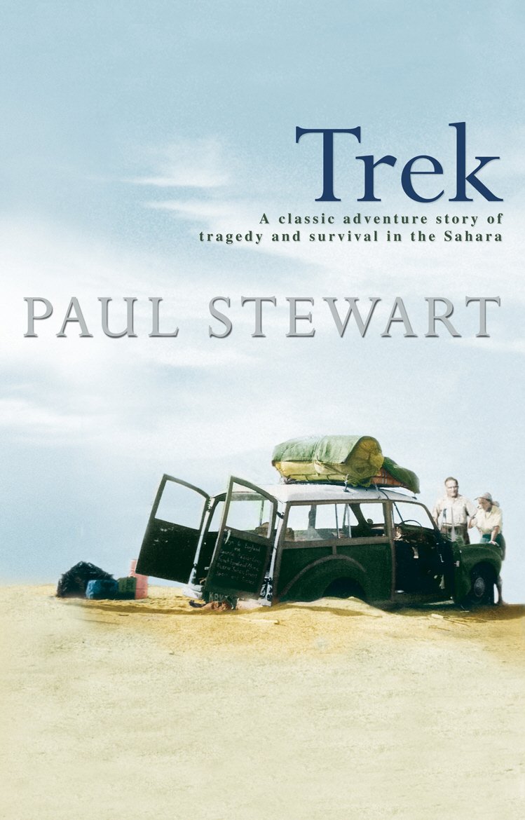
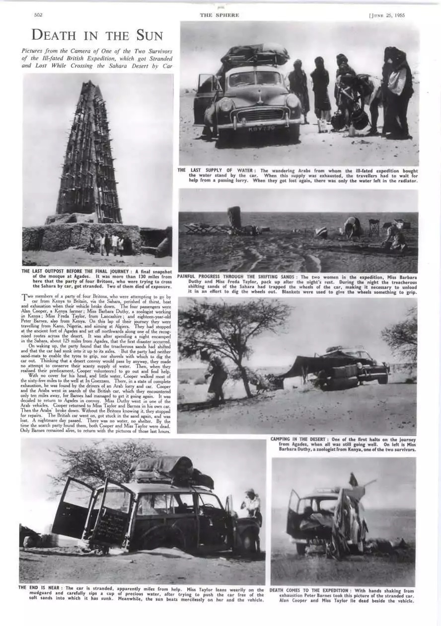
I was working at London’s Travellers’ Bookshop when Trek came out in 1991 and of course, I gobbled up the desert drama, painstakingly researched by Paul Stewart (better known for the Edge Chronicles young adult book series). The book came about after Stewart had the story recounted one of the expedition’s survivor’s at her Kenyan guesthouse in the 1980s. He soon realised it was a headline on a June 1955 ‘day of your birth’ newspaper reprint he’d been gifted decades later. Stewart was born on the day the sensationalised events broke across the UK press (see bottom of the page). Recently writing up the similar Danish story which took place a year earlier in 1954, I realised I’d never reviewed Trek, so recently blitzed through it recently. Only this time I had a slightly more knowledgeable eye, having evolved into a Sahara and overland know-all in the intervening decades.
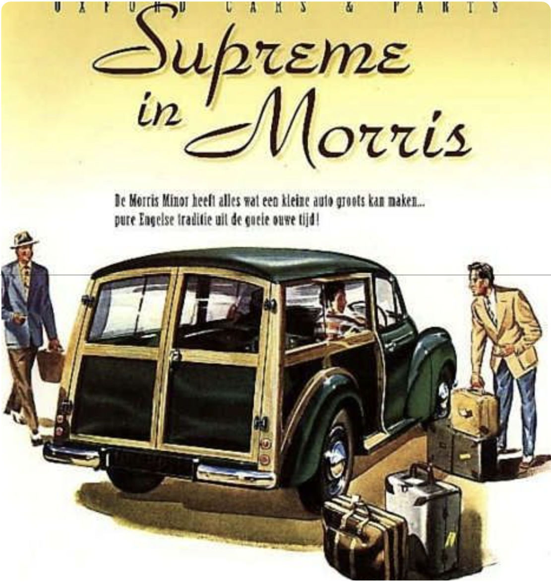
Morris Traveller, pitched as ‘the small car for big jobs’. Like trans Africa, perhaps?
Trek tells the story of an ex-pat foursome who, in April 1955, set off in a near-new Morris Traveller (like above) to drive from Kenya via the Congo and the Sahara back to the UK. They were led by Alan Cooper, a self-confident but irresponsible bon viveur who’d farmed, ran hotels or led safaris, all with little success (forthright bio from his old school). Perpetually short of money, he wanted to visit his ageing mother back in the UK and perhaps kick-off another business scheme. Back then driving overland was the cheapest option. To cover the trip’s costs he advertised places at £175 a seat in a local paper, but on the day delivered much less than promised: a single small, inadequately prepared car, far less any hired locals to undertake the chores. The three passengers were 17-year-old Peter Barnes, despatched by his mother to man him up (and whose detailed diary was a gold mine for the author years later), a genteel spinster Freda Taylor who’d erased 17 years off her true age of 55, was captivated by the idea of the Sahara, and was caught in Cooper’s spell. Barbara Duthy was a more independent-minded woman, a scientist and pilot, who from the start challenged Cooper’s incompetence and cavalier practices. It was the ageing Barbara whom the author met in Kenya in the 1980s.
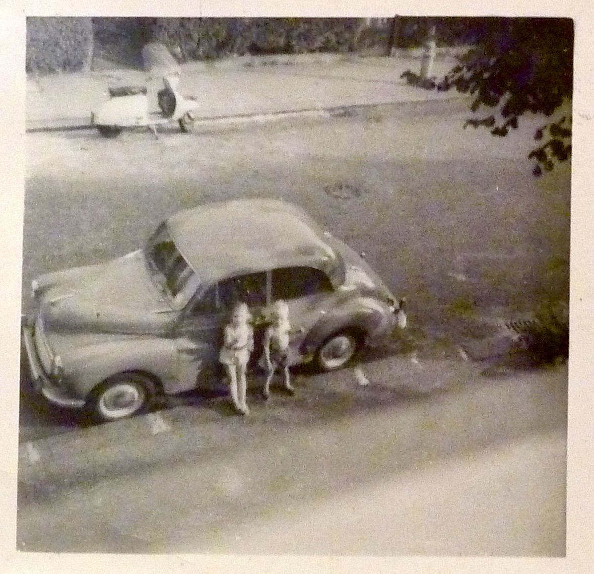
Our Moggie in the Sixties
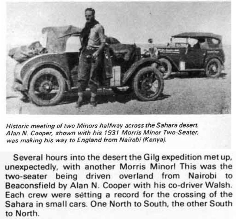
To his credit, over 20 years earlier Alan Cooper had completed a similar African crossing in a two-seater Morris Minor, even getting this achievement featured in The Times as the smallest car to cross the Sahara to date. The original Minor was more Model T Ford than the rounded post-war ‘Moggie’ we know and love. By 1961 that famous model became the first British car to sell a million, and was my parent’s first car (left). On that first crossing the young Cooper had just one passenger via the Tanezrouft crossing from Gao to Colomb Bechar in March, the time of year when temperatures in the Sahara begin to escalate quickly. Near Reggane he ran into two other Brits and a desert guide in a bigger Morris car heading south for the Cape (pix below; 1978 documentary on YT). Both Morris crossings occurred barely a decade after Citroen half-tracks had been the very first ‘cars’ to cross the Sahara north to south, pioneering the long, bleak, waterless but flat Tanezrouft route to Mali and the Niger river. On the way they established the famous ‘Bidon’ staging posts which were to feature on future maps. In the 1930s I don’t think the Hoggar route between Agadez and Tamanrasset was yet regarded as motorable.
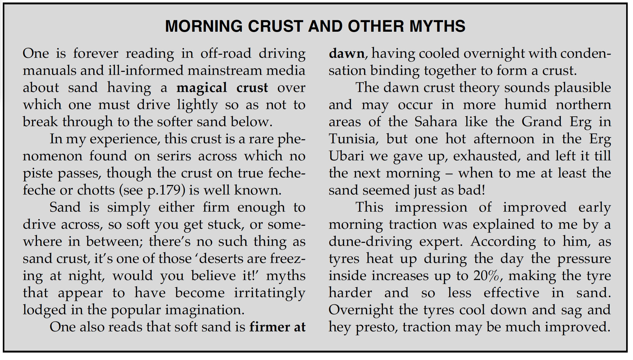
The ‘8hp’ question In Trek a highly unlikely ‘8hp’ gets attributed to Cooper’s 1950’s Traveller. It’s hard to think how, other than the author spotted it in a 1955 newspaper headline (below) and thought nothing of it. These days a suped-up moped could make 8hp, but throughout Trek ‘8hp’ gets much repeated to underline the Traveller’s crushing unsuitability for the task it had set itself. Was there ever a mass-produced, post-war car that made just 8hp? Actually there was, (thank you internet): the ultra-basic 1949, 375cc 2CV put out 9hp, was much ridiculed at the time and soon became the butt of ‘does it come with a can opener’ jokes. As Frenchman Cyril Ribas has proved over many decades, a 2CV does actually make an effective desert car. A bit more interneting soon reveals even Cooper’s 1931 side-valve Minor pushed out a healthy 19hp while weighing less than 600kg. His near-new, 800-cc, engined Traveller clocked in at 28hp. A two-litre Series 1 Landrover of the day made 55hp, so 28 was about right, and far from a puny 8hp. Oh M G, Paul Stewart does not get cars! Like most people, nor is he a desert driver. Irksomely, along with other tenuous suppositions and repeated myths (like wandering dunes making tracks unrecognisable within days) he goes on repeatedly about the perils of breaking through the thin ‘sand crust’ which formed each night under the star-lit desert. Don’t start me on sand crust (see below).
I admit all this will go over most readers’ heads because they will find Trek an engaging read of how one person’s behaviour can lead to an all too predictable disaster. One thing the author does well is paint a vivid picture of colonial Africa at that time, and why so many Europeans chose to live there, enjoying a standard of living they’d never have back home. In the mid-Fifties that era of privilege was coming to an end as demands for independence spread across the continent – not least from Kenya’s Mau Mau insurgency. As you’d expect, Peter Barnes’ diary recorded little interaction with locals, either Africans or colonial administrators, so the author cooks up period dialogue to help jazz up the tale. Sometimes it passes unnoticed, at other times it jars. It’s a bit different from an author lightly embellishing their own memoirs or travelogue with their own voice.
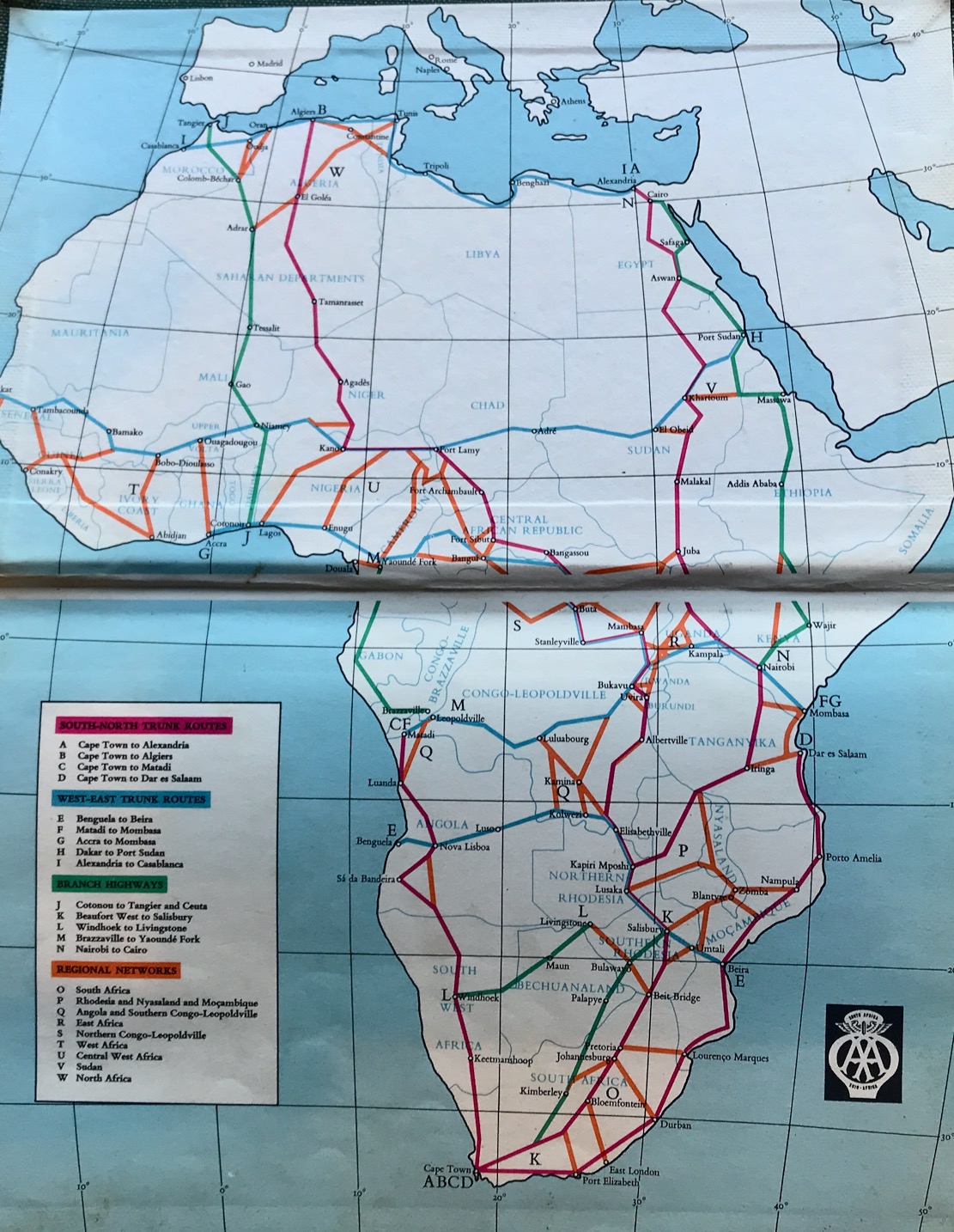
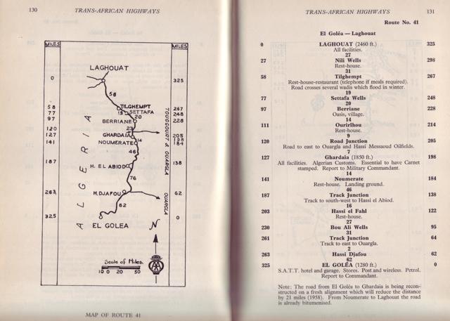
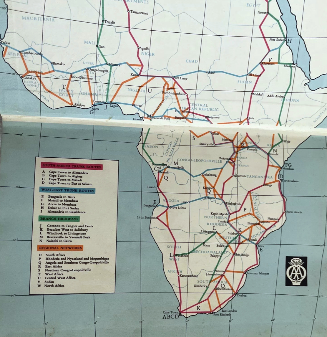
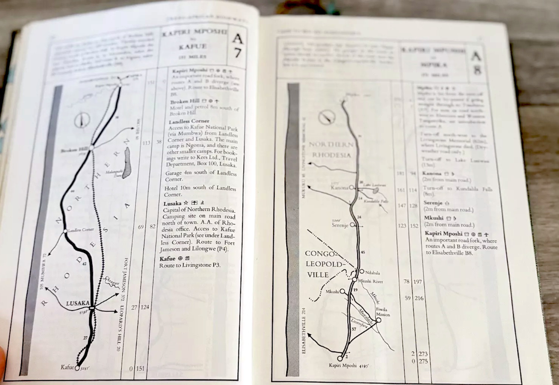
African highways from the final, 1963 AASA edition of the Trans-African Highways road book
The Travelling foursome left Nairobi in mid-April, almost exactly a year after the Danes and, in my opinion, an usually late departure if intent on tackling the Sahara a month later. Unlike the Danes, Cooper was far more casual if not outright reckless in his planning and preparation, sparing little room for vital provisions, spares and equipment to fill his paying seats. Under pressure to reach Agadez before French authorities suspended desert crossings from mid-May to November, the group averaged up to 200 miles a day across equatorial and Sahelian tracks. As a result, four weeks later, both passengers and car arrived at the desert’s southern edge, weary and exhausted.
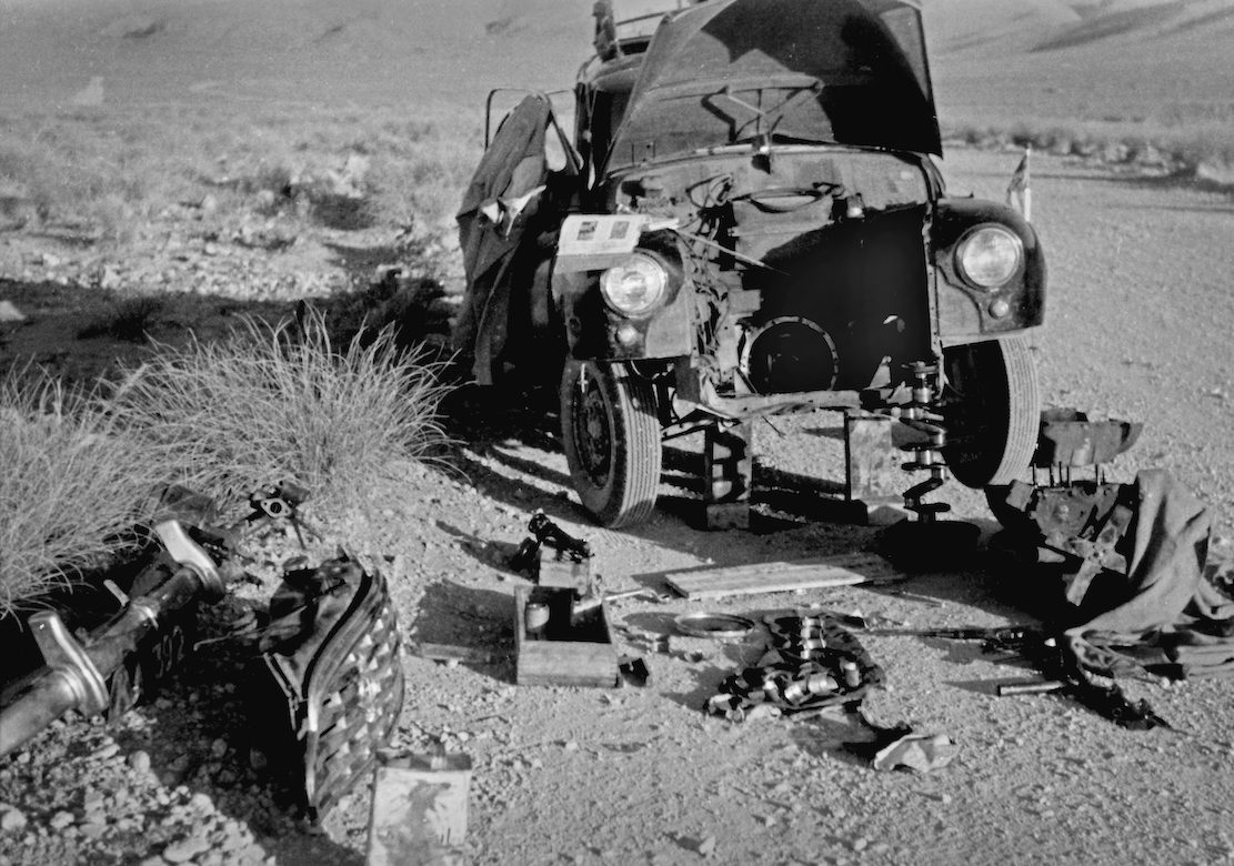
Like the Danes’ near-new Morris Oxford, Cooper’s 6000-mile-old Traveller needed new big end bearings. Except in his case the cause was, bizarrely, not stopping after smashing the sump on a rock in Cameroon (the Danes carried a spare sump for this very reason). The Traveller’s oil drained away and inevitable engine damage occurred. Limping on to Kano in then British Nigeria, the wrong spares eventually got flown in so a proper repair was bodged to save more waiting. Heading north for Agadez, the engine was soon knocking again.
Trans Africa Routes 1963
The French requirement of a £1000 bond to cover a desert rescue described in the Danish article did seem unusually high. In Trek, a more plausible refundable £50 per person is mentioned to cover a search, should a vehicle be overdue at the next checkpoint. With new bearings fitted in Agadez, but just a week before the desert closed for months, Cooper tricked his group by claiming they’d been given the all-clear to leave but they had to go right now. In truth he knew he’d never have got official approval to cross the desert. Along with the imminent closure, it was this deceit which may have forced Cooper to push on into the desert, when turning back would have been wiser. Because of his actions, no official departure record was logged and so no rescue mission was launched until news of the lost Morris reached Agadez, a week so so later.
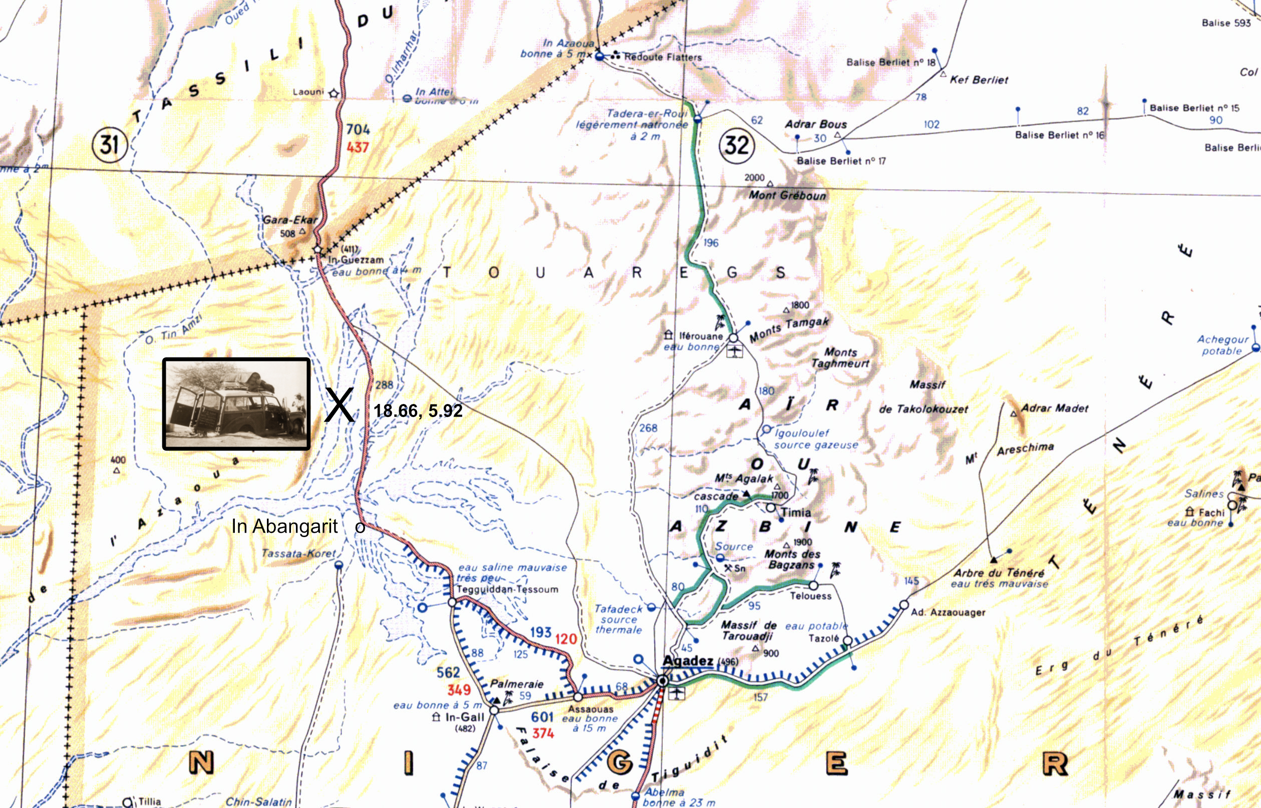
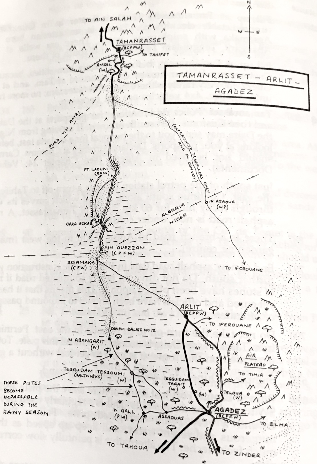
In Abangarit piste from Agadez via In Guezzam to Tamanrasset (900km). The current Arlit piste is not shown.
In the 1950s the piste from Agadez to Tamanrasset went west past the salines of Tegguidam Tessoum before turning north at In Abangarit well for In Guezzam on the Algerian border. This was long known as a sandy route, tougher but shorter than the original Tanezrouft across Mali and Algeria. When the uranium mine opened in Arlit, north of Agadez, in 1971, the primary crossing switched to that route over less sandy, or at least more travelled terrain.
In Abangarit piste, Sahara Handbook
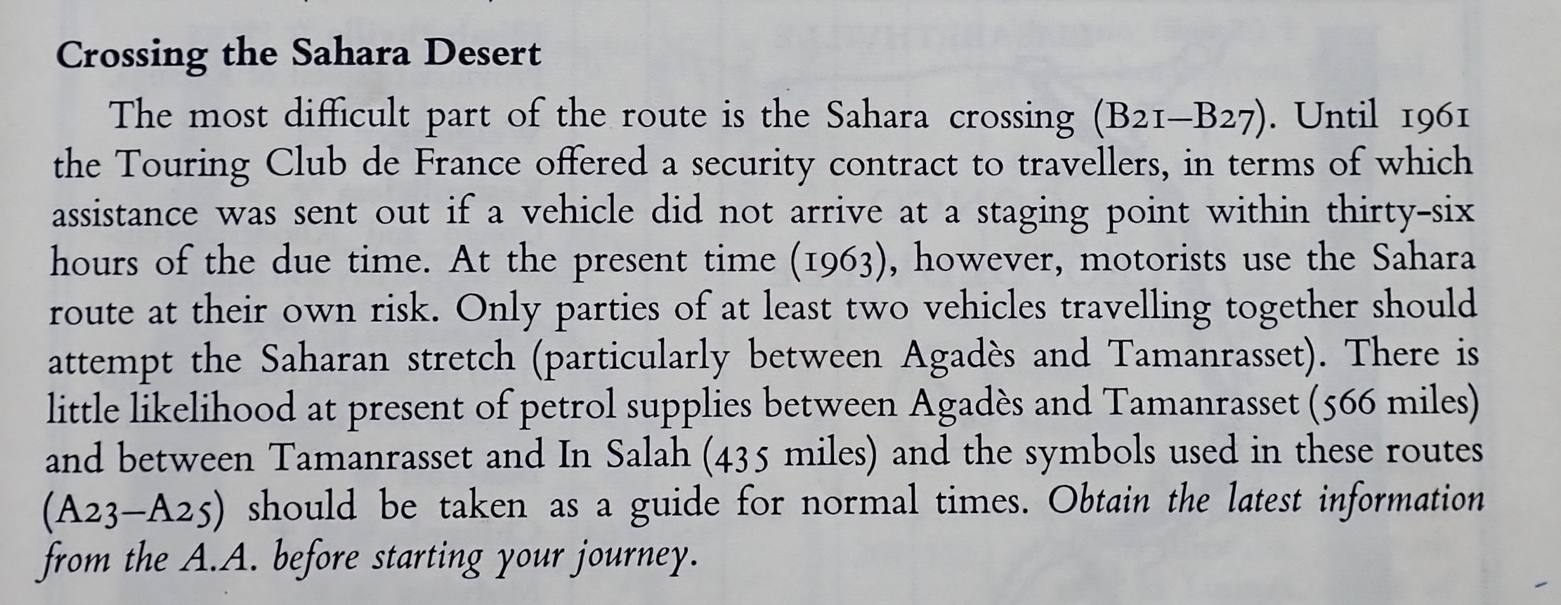
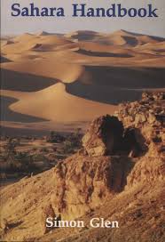
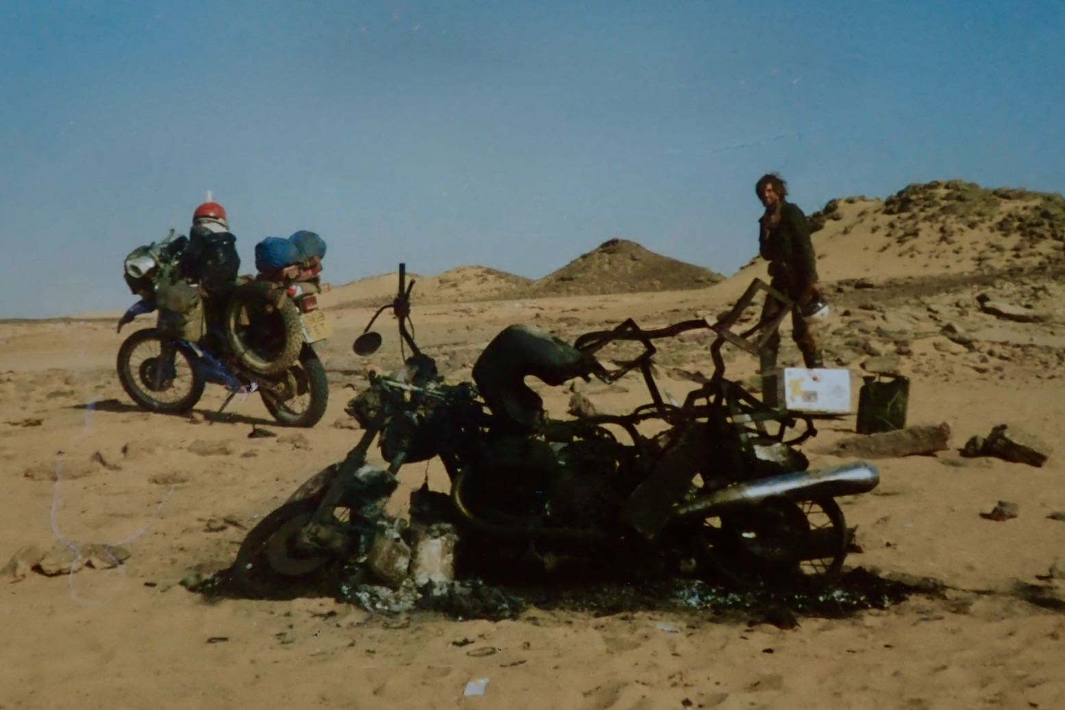
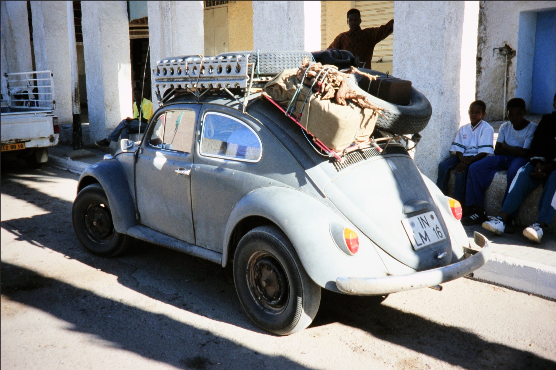
The 1990 edition of the Sahara Handbook (left) claimed ‘4×4 vehicles are not necessary’ on the In Abangarit piste (right). The Swiss Beetle (see below) proved that and the book’s original authors undertook most of their travels in a Kombi van. But the Handbook went on to advise, from Assamaka ‘… head south on a bearing of 170°. Keep speed up… Several big sandy patches and seas of bull dust, especially [110km] south of In Guezzam‘. There was no Assamaka back in the 1950s, but by the 1980s the Handbook warned ‘Niger frontier officials [at Assamaka] have been known to force … travellers to go via Arlit… [to Agadez]. Subsequent landmarks given on the now little-used In Abangarit route description are spaced up to 100 or 150km apart, with balises as every 5km, too far to see one from the next. In 1986 on the the shorter Arlit piste I myself soon lost track of the balises, but that’s another story (below).
BMW BBQ
Like a 2CV or Renault 4, with the engine’s weight over the powered axle and good clearance, a VW Beetle made a surprisingly effective desert car. The VW Kombi vans even more so.
In the enervating, pre-monsoonal heat, the foursome did manage to stagger across the desert to within 50km of In Guezzam. But getting that far had entailed a lot of digging and pushing, decimating their inadequate water reserves. It was at this point the Traveller caught up with a lorry rescuing the nearly dead Cooper, who 50km earlier had set off north on foot from the then bogged car to get help. The other three got the car moving again and caught up. Cooper was found delirious by the southbound Algerian driver in a resupply truck (a Citroen Type 32 perhaps) carrying masses of water and recovery gear, and accompanied by a Swiss couple in a VW Beetle. Much against Cooper’s demands, the group insisted on carrying on south to Agadez to get Cooper urgent medical attention. Once in Agadez, the lack of permission would have come to light and they’d all miss the desert crossing window for sure. A compromise was agreed: they’d backtrack together about 150km to the well at In Abangarit where the Traveller would wait to join the returning Citroen heading back to Tam. To reduce weight in the Morris, Barbara chose to ride in the truck – a decision which probably saved her life. Peter ends up driving the Morris at the front of the convoy, while Freda tended to the semi-conscious Cooper in the back. But on losing sight of the following vehicles, at the still domineering Cooper’s insistence, fatally, they kept going. This rashness is hard to explain other than a bloody-minded craving to control events, no matter the risks. The Morris strayed off track, as is so easily done, got badly bogged again and, with all the water in the truck, first the severely dehydrated Cooper and the frail Freda died by the car. These deaths were almost certainly hastened by the colonial-era outfits shown in photographs: baggy shorts, short sleeves and frequently no headwear which all accelerate the body’s water transpiration in an effort to keep cool. It’s why Tuaregs are covered head to toe. With just hours to live, Peter was found a day or two later by a search party of Legionnaires sent from Agadez.
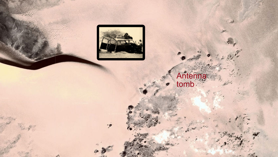
Burial location N18° 40′ E5° 55′
Cooper and Freya were buried by the Legionnaires at a waypoint given in the book as 5.55’N x 18.40’W. Even once corrected to N5° 55′ W18° 40′, this is way out in the Atlantic, some 600km off the coast of Guinea. I suppose in 1991 verifying a waypoint was less easy than now, but wasn’t anyone in production even curious? Jumble it about some more and you get N18° 40′ E5° 55′ which looks about right: a point among low dunes 10km west of the current piste and halfway between In Abangarit and In Guezzam (see map above). The book makes a lot of the doomed expedition’s ill omens; perhaps the final one is that the car came to rest just half a mile from from a cluster of pre-Islamic tombs, including a classic, east-facing antenna (above).
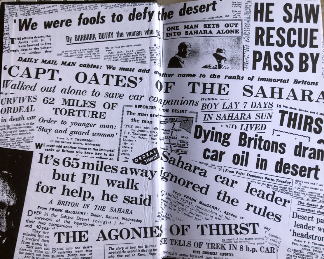
Hard to believe but UK tabloids were a lot more sensational back then. Note ‘SHE TELLS OF TREK IN 8 h.p CAR.’ mention.
Cracking yarns of abject overlanding folly like Trek have all helped entrench the Sahara’s mystique and notoriety, and the British papers of the Fifties had a field day: ‘drinking engine oil…’, ‘Oates of the Sahara…’ with some even inventing foul play to explain the deaths. You can buy Trek for a few pounds. What a great movie it would make.
‘… His heroic rescue bid will always be remembered by the two survivors…’
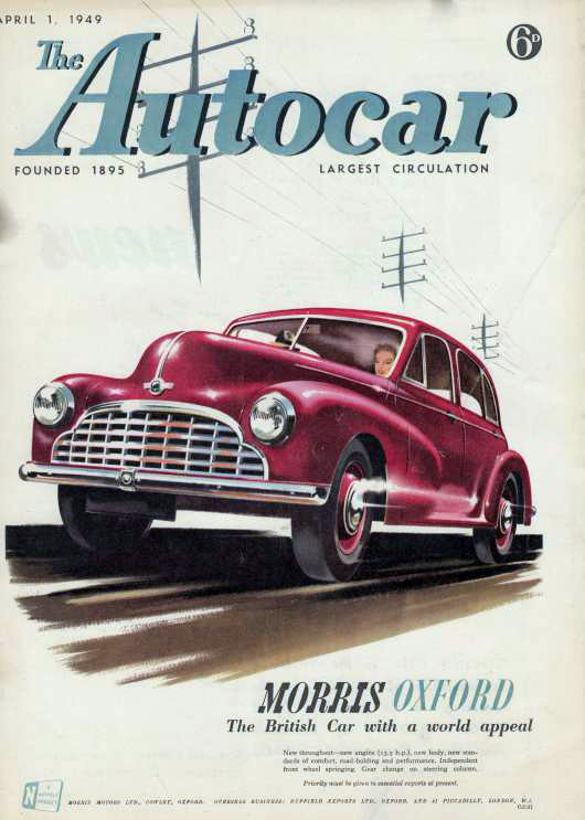
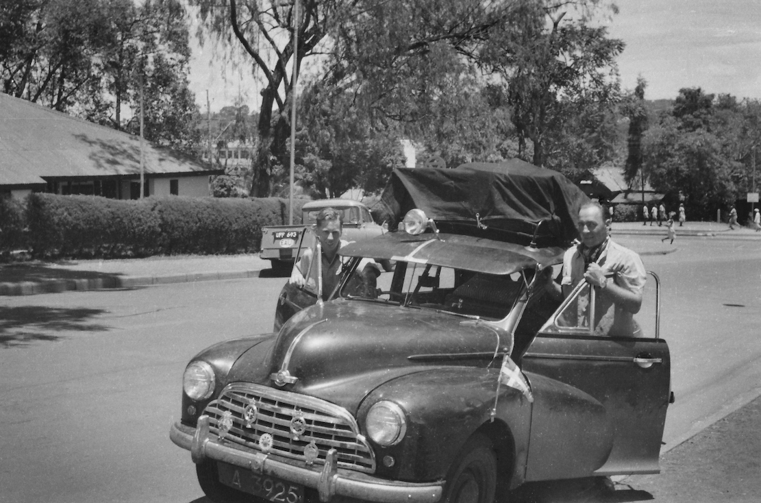
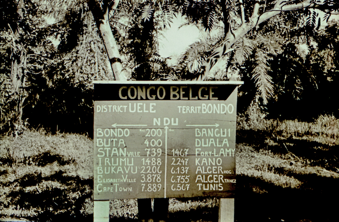
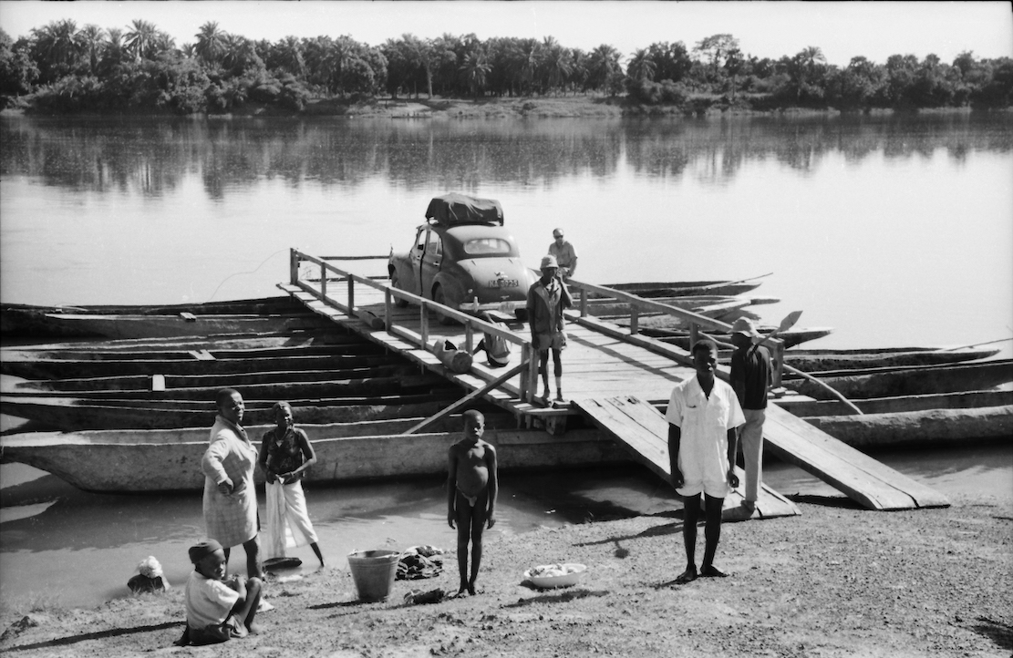
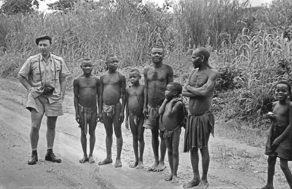
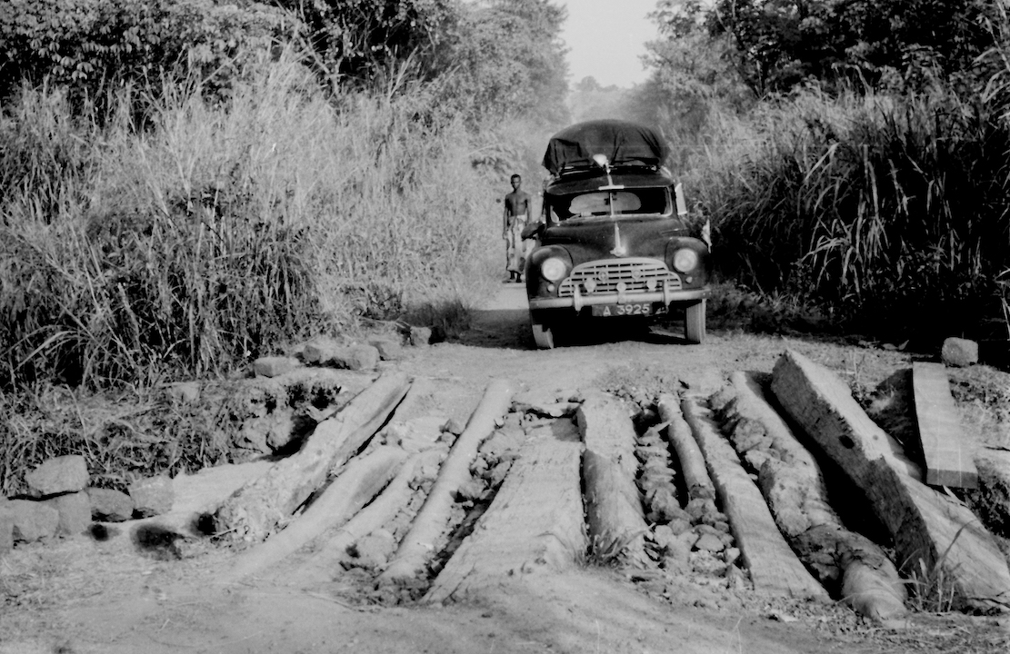
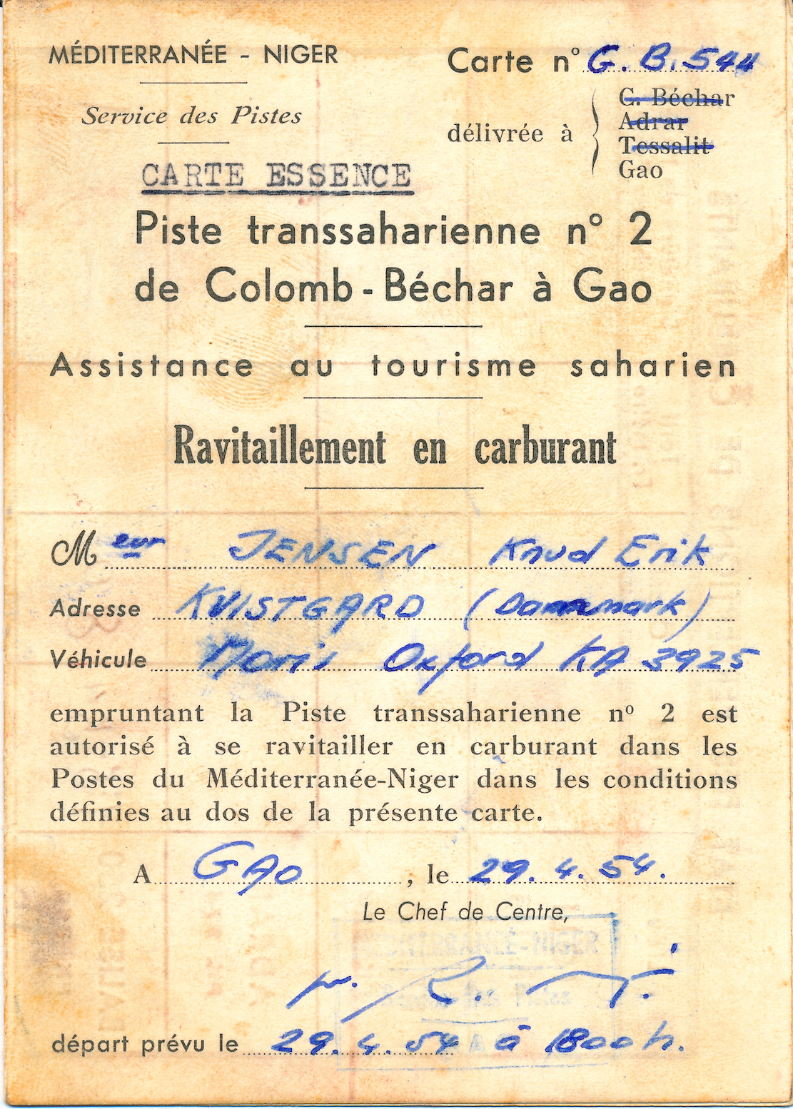
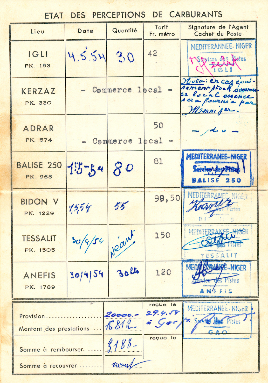
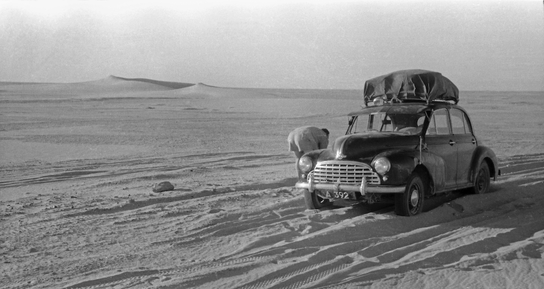
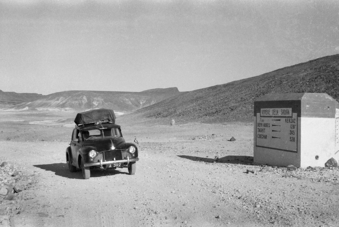
Thanks to Danish journalist, Anders Nielsen (a friend of one of the protagonists) for passing on this fascinating article and photos. I tidied up a Google translation and added [my annotations] for added clarity. Seventy years ago, on finishing a lengthy contract in the late-colonial sub-Saharan Africa, taking on such trans-African adventures was not uncommon. It was assumed a regular car might manage as in many colonies parts of the road network were well maintained and superior to what exists today. But as you’ll read, the near-new Morris Oxford still got quite a beating. The yarn reminds me of Paul Stewart’s Trek (below right; to be reviewed), also in a Morris just a year later, but which ended in tragedy north of Agadez in the Sahara. And of course David Newman’s demented The Forgotten Piste a few years later.
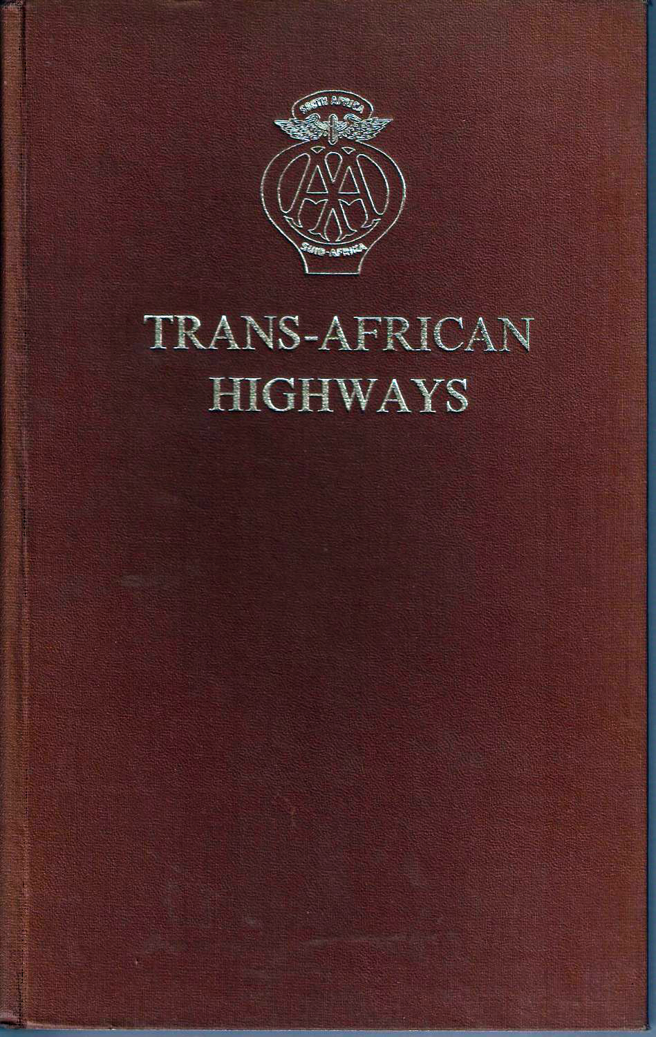
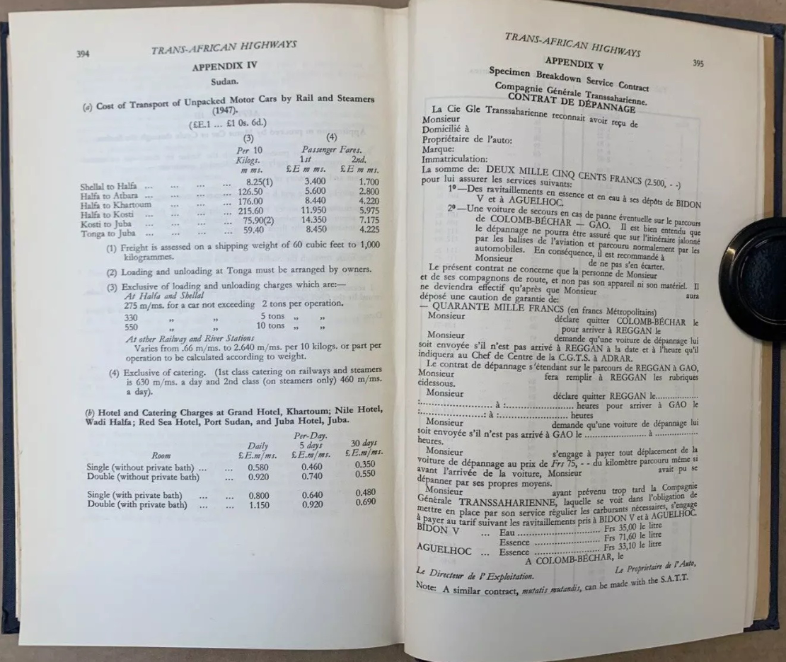
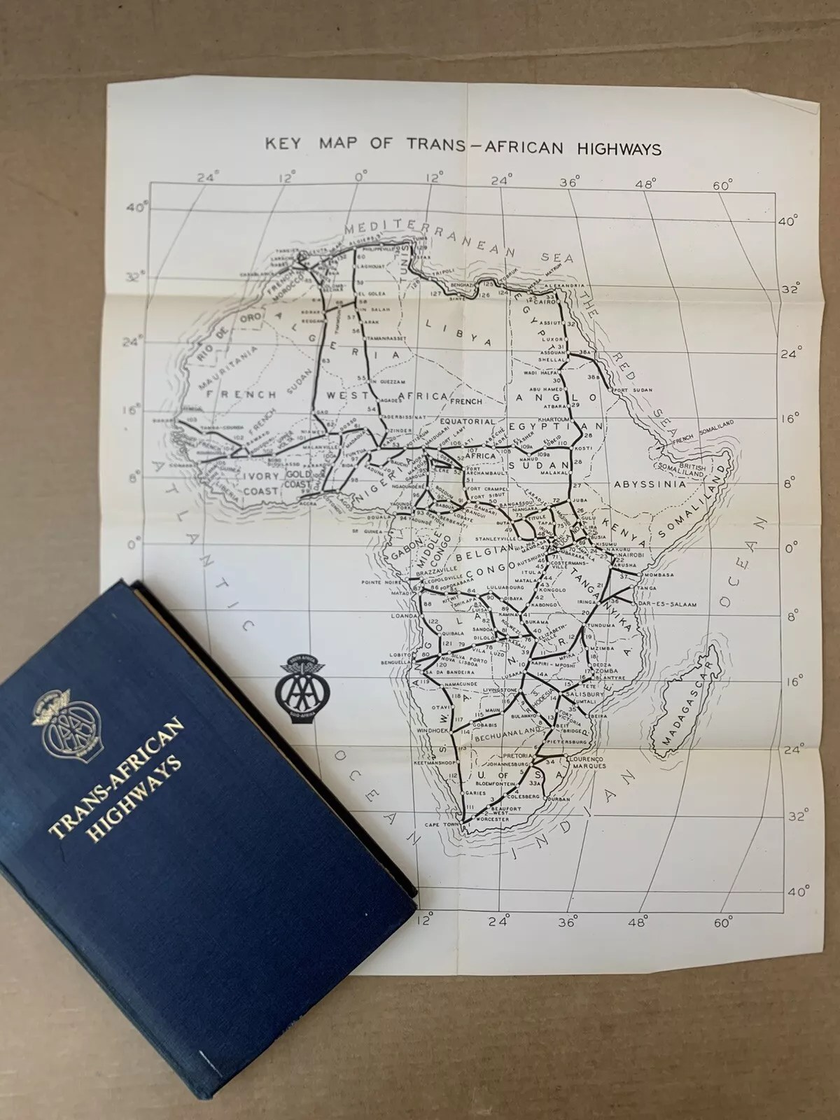
From Kenya to Morocco you’re reminded this era was marked by widespread anti-colonial unrest. It’s also interesting to learn of the huge £1000 bond (2500F + 40,000F) for the Contrat de Depannage (assistance) required to cross the French-controlled Sahara to cover the cost of possible rescues. The Trans-Africa Highways route guide (below) was first published in 1949 by the Automobile Association of South Africa. There are loads of copies online from £25: I bought the final, 5th edition published in 1963, by which time the vast majority of the European colonies (list with dates) were independent. The preface to the 5th edition explained the laborious task of redrawing all the guide’s maps to conform with the new nations. The guide closely resembles the French Shell Guide to the Sahara published since the mid-1930s: page after page of annotated strip maps along a given route. Knud and Svend used the 1949 edition of Trans-African Highways which Anders still owns.
In 1954 two Danes, Knud Jensen and Svend Nielsen, drove a Morris Oxford from Kampala Uganda through equatorial Africa and across the Sahara to Kvistgård in Denmark. The 14,373 kilometre adventure nearly cost the lives of all three.
Owen Falls Dam
For three years, Knud and Svend had worked as carpenters for Christiani & Nielsen on the construction of the Owen Falls Dam (left) in Jinja, Uganda. This is where the Nile flows out of Lake Victoria to continue north to the Mediterranean. [An old treaty between Uganda and Egypt endured the Nile’s flow was unaffected, though during the 1956 Suez Crisis the Brits considered cutting the flow so to oust Nasser, even at the cost of flooding around Lake Victoria.]
Morris Oxford
Along with their last salary, they received two plane tickets back home to Denmark, but they chose to cash these in instead. The two young men decided to drive home to Denmark. Knud had an almost new Morris Oxford [Series MO, left] and when you’re young, the spirit of adventure trounces reason.
The direct route was via Sudan and Egypt [with the option of putting the car on a train across the desert from Khartoum to Wadi Halfa], but Egyptian President Nasser was in the process of kicking the British out (the Suez Crisis occurred in 1956). Meanwhile Sudan was also wearying of the British and refused permission to transit the country. The only alternative led west across the Belgian Congo [today’s DRC] and on through French Equatorial Africa [CAR, Cameroon], British Nigeria, French West Africa [Niger] to Algeria and Tangier in Morocco.
First, 1949 edition of Trans-African Highways as used by Knud and Svend
The expedition required a huge amount of planning. Were there reliable maps? What were the roads like? When would the rainy season flood the rivers? What documents would be needed? Would the Morris even survive the trip and what spare parts would be needed? The 406-page guidebook, Trans-African Highways (left), published by the Automobile Association of South Africa, provided many answers. The rainy season in central Africa began in April, and the route through the Sahara would be closed from June to October due to sandstorms and intense heat. This still gave the pair a few months to get organised. Costly permits to pass through French territories were obtained in Nairobi, Kenya – a round trip of nearly 1500km along wretched roads. In Kenya, the Mau-Mau uprising was underway, resulting in a driving ban after sunset. Knud recalled stayed overnight in a small hotel in Nukuru, where the white guests were hanging out in the bar with rifles close at hand. In another town, the police station had been burned down.
Leaving Kampala, April 1954
Back in Kampala, the Oxford was given a major makeover, and many spares were thrown into a back-up engine sump, which produced a metallic clatter all the way to Denmark. The spare sump served as insurance against a possibility of damage on rutted tracks. An auxiliary petrol tank was fitted in the spare wheel well, and four spare wheels were lashed to the roof rack. Typically, the car did not get a single flat, even though they didn’t see asphalt until they reached Morocco, 8000km later. With a Danish pennant on the left front fender, Knud and Svend left Kampala on 3 April 1954. Ahead awaited massive rivers, equatorial jungle, harsh desert, isolated tribes and miles of rough tracks.
Ndu junction in the northern Congo
Soon they entered the Congo, where a rebellion against the Belgian colonial rule was already smouldering. But Knud and Svend were more concerned by the Pygmies’ evil glances. The road passed through dense jungle, and several rivers were crossed on small barges made of joined-up dugouts (below). The propulsion was a rower in a canoe on each side, directed rhythmically by the captain’s drum.
Kudu encounter While still in the Congo, one of the Oxford’s front axles broke. The two had agreed they’d take turns in getting help so with the axle under his arm, Svend got a lift to the nearest town, while Knud set up camp in a clearing. The natives gestured loudly to move the tent, but Knud refused, assuming they were trying to lure him away from the stranded car. That night he found himself camped in the middle of a forest full of snorting, growling and unnerving brushing against the tent, but otherwise the parade of unseen beasts passed without incident. The next day the locals returned to see if he was still alive. Knud emerged from the tent in good form.
Pygmies in the Congo
A few days later the Morris hit a kudu (a large, spiral horned antelope). The kudu trotted off unharmed, but they did not. The collision had shoved the fan back into the radiator leaving them to repair the damaged cells ‘the African way’. Being carpenters, they figured out how to knock some wooden plugs into the radiator at the bottom and squeeze the cells together at the top so water still flowed through. Miraculously, the repair lasted until they replaced the radiator in Spain.
Log bridge in the jungle
In French West Africa [Niger] they ran out of drinking water. Thirst became such an acute problem they drew lots to see who’d try some murky ditch water. The idea was that if the one who drank got sick, the other might be able to continue. Knud was given the honour of the dirty water, filtered through a handkerchief soaked up with red wine to cover the bad taste, while Svend had to make do with a mouthful of wine every now and then. The days passed, and when they finally found fresh water, Svend was so dehydrated he was hallucinating.
On the verge of giving up, they were under pressure to cross Nigeria before the rainy season broke. In Niger, the U-bolts holding one of the rear leaf springs snapped. According to the map, the nearest town was at least 60km away and the temperature was reaching 45°C in the shade. Now it was Knud’s turn to seek help; a truck gave him a lift to Dosso which in 1954 turned out to be just a junction. The next day he got another lift to Niamey, Niger’s capital, but it being the weekend, everything was closed. On Monday, he finally managed to get a workshop to fabricate two new U-bolts. Knud had wanted to wait until the next day, but realised Svend would have been impatient after waiting five days in the bush. The truck Knud returned on was the only vehicle Svend had seen in all that time, and he didn’t want to rot there any longer. While waiting, he’d crawled under the car for some respite from the heat, but the next morning found his body covered in rashes. Unfortunately, he’d shared his space under the car with a dozen rats.
After 6000km and three weeks on the road, the two exhausted Danes reached Gao on the Niger river [present day Mali], the southern terminus of the 1800-km Tanezrouft piste across Sahara to Algeria [the route of the original crossing of the Sahara with Citroëns in the early 1920s]. Here they met four Englishmen in a well-equipped 4WD, one of whom was a mechanic. They’d driven up from the Gold Coast (a former Danish colony, today Ghana) but had already blown four tyres. Although their original plan had also been to cross the Sahara, they’d lost their nerve and planned to sell the car and fly home.
France shining it’s light upon their colonial world
This encounter made a sobering impression. Here they were stuck with an ailing ordinary family car with a broken rear spring, unstable steering and wheel bearings grinding with sand. Crossing the vast Sahara suddenly seemed like a daunting prospect. The only problem was the price they’d get for the clapped-out Austin wouldn’t even cover a single flight home. In silence they tried again to secure the broken spring by wrapping the handbrake cable around the broken leaves along with a pair of old trousers. At first glance, the repair seemed adequate.
Crossing the Sahara With permission to cross the Sahara came a requirement that the police in Gao verified at least 60 litres of drinking water was carried. However, the police did not seem so bothered in how careless travellers might be, so most of the water reserve was replaced with petrol as fuel was expensive at the military checkpoints further north in the desert. These checkpoints were up to 400km apart and, according to the regulations, travellers had up to 36 hours to reach each one. If they didn’t show up, the military would launch a search at the drivers’ expense. However, one of the checkpoints explained this never really happened. Soldiers serving in the Foreign Legion had not signed up to be tourist guides.
Stuck in the sand
The track through the Sahara was marked with single oil barrels [‘bidon’] every 2.5km and two stacked barrels every 5km. The sand-blasted wrecks of vehicles from unsuccessful transits also helped mark the route. For the first few days the track was corrugated – not so easy with a broken rear spring. Later they entered areas of loose sand which they tried to avoid while keeping in sight of the bidons. It became a struggle to shovel their way free, and the camaraderie became strained. When they got badly stuck for the third time on May 1st, Svend threw away his shovel and refused to work – this being International Workers’ Day. Knud assured him it was hardly likely the Danish Carpenters’ Association would find out about his shameful betrayal of the proletariat.
Border with Algeria near Bordj Moktar but still only halfway across the desert.
Despite these challenges, the journey through the harsh and beautiful landscape was a memorable experience. The great silence when they took a coffee break or ate beef straight from the can was indescribable. Then they’d sit in the sand with their feet in the ruts while the fiery red sun set, as it only does in Africa. When they got tired, they would burrow into the sand and look at the billions of stars overhead.
Crossing the Tropic of Cancer, north of Bidon V in Algeria.
Major repairs in the Sahara Every now and then the engine would cut-out due to vapour-lock in the fuel pump struggling in the immense heat. Cooling it with a wrapped wet cloth helped a little, but the engine was also losing power and knocking loudly until they could only run for 3km at a time. Now the spare parts they brought from Uganda became invaluable. The engine was removed and disassembled in the desert and a destroyed main bearing was was replaced with a lot of filing and hammering. It took hours, but when the car started on the first try, the proud smiles lasted the rest of the day. The broken spring still had to be re-tied constantly, but after seven days they finally reached Reggane with a hotel and a proper meal.
Finances were tight if they were to get home. In Nairobi they’d paid a deposit of £1000 for permission to cross the desert, which they could claim back at any French government office north of the Sahara. But in Colomb-Bechar they didn’t have pounds. A detour was taken to Oudja in Morocco, but the consulate was closed, and the following day there were violent anti-French riots. And when the consulate finally opened, they didn’t have any pounds either. In Tangier it was the same story, and the Danish consulate could not help.
Near Kerzaz, heading for Colomb-Bechar and the Moroccan border
In the end, by exchanging their remaining African currencies, they were able to buy a ferry ticket across the Straits of Gibraltar, then at least they were in Europe. In Malaga, Svend sent a telegram asking for money, and while they waited, they stayed in a small hotel in town. The money took three weeks to arrive, and by the time the hotel bill was settled, there was barely enough left to reach Denmark. In Madrid, they pawned binoculars, cameras and a tent to get a little further north.
North of Meknes and the road to Tangier.
Late one evening in Germany they were stopped by the police on the Autobahn because both rear lights were out. They promised to fix the mess at the next fuel station, unable to admit that both headlight housings were rattling around in the trunk. To their great frustration, they only had enough fuel to reach the border in Kruså, but the Danish customs officers showed a rarely cheerful side. Despite the early hour they were fascinated to learn of the duos’ arduous adventure from Uganda. And when Knud and Svend explained they had to wait for money for fuel, the customs officers offered to lend them the cash so that they could drive home.
The two adventurers never forgot their welcome to Denmark. In Hillerød they sat in silence for half an hour, looking across the lake towards Frederiksborg Castle. It was June 5, 1954 – two months and two days since they’d left Kampala, and a beautiful summer day. It was hard to believe the adventure had reached its final chapter. Twelve minutes later, they rolled up in front of Knud’s parents’ house in Kvistgård, where the mother came out onto the steps, clapped her hands together and exclaimed: “Well, you’re finally here – you must be very hungry!”
I flew to Algiers to try out a new agency, do a recce and indulge in a bit of a 1980s Desert Travels nostalgia tour (left; 1982). Among other things, I was curious to see if there really was a road all the way from Tam to Djanet. Fog delayed our London flight by a day which meant we missed our twice weekly connection to In Salah. Me, Rob and JT were the only non-Algerians on the plane, and on arrival found a VoA was not the quick payment and passport stamp I’d expected. Expect at least an hour’s wait – significant if catching an onward flight from the adjacent domestic terminal. Once through, buying black market money was straightforward. So was getting a local SIM (rates and prices here). Last minute, Fouad from Tadjemout Travel organised a spacious people carrier to take us the 400km to Ghardaia, a run I first did in 1982 and last in 2006 in the MAN.
It took an hour to get clear of dreary, gridlocked Algiers (just like London, then!) until near Blida where a three-lane highway curved south and up into the Atlas, through a tunnel and onto the rainy high plains (above). We passed Medea, Djelfa and Ain Oussera – all places evoking deeply etched memories and miseries of my 1980s travels here. After years in Morocco, I was shocked by the crumbiness of the roadside facilities and the endless checkpoints. This being New Year’s Eve, our driver explained the gendarmerie were doing the seasonal shake down for individuals transporting booze and other intoxicants. A couple of days later we watched the morning news in In Salah, showing cops revealing slabs of beer hidden under blankets in car boots.
It got dark and just before Laghouat one unusually arsey soldier wouldn’t let us pass (ironically, he may have been drunk), insisting there were no gendarmerie to escort us onward and we would have to spend the night in the local barracks. There was something dodgy about him, especially when he suggested with a sly grin that we pay him 4000D (£30) to continue. In my experience as a tourist in Algeria, this sort of opportunistic bribery has never happened, and with pointed finger I assertively spelled this out to matey. I was rather shocked with myself. ‘Did that work?’ I asked Rob. Another off-stage conflab with our driver and it seems it did. We moved on and arrived at the Caravanserail auberge in a corner of Ghardaia (below) around 11pm which, while an interesting compound, with the meagre breakfast was pricey at 7500DA or €30 each, even at the best black market rate of 250 to a euro.
Our Tadjemout Travels driver in a 105 Land Cruiser was slow to turn up next morning and after a drive-though tour around Ghardaia, we weren’t southbound on the TSH till noon. This is where the proper, though as yet uninspiring desert starts: the turn off east for Ouargla for the road through the Grand Erg to Djanet, or straight down the TSH for El Menia, a few miles after the dunes which caught my eye back in 1982 (below). This time they looked a bit flat. Maybe it had rained.
1982
Either I dozed off through El Menia (El Golea), or I didn’t recognise anything after what might be 40 years. Up ahead lay the Tademait plateau which was a rubble track shocker in ’82 and ’84 and now was little better. About a dozen diversions took to the dirt just as decades ago, making for slow progress. Expect eight hours for this 400-km stage along Algeria’s Highway 1 which they’ve let deteriorate to this state. There’s talk of extending the railway from Laghouat 1500-km down to Tam. I’d give it 20 years. Night fell on the Tademait and the impressive decent to the desert plain passed unseen. In sight of In Salah there was a more serious checkpoint, right down to logging our mothers’ maiden names on a piece of scrap paper. Sometimes I wonder if it’s just down to the pedantry of the individual manning the barrier. He seemed agreeable enough, just doing his job. With a bit more banter – a key driver’s skill to hone at these CPs – we managed to avoid a pointless escort the few km into town. Around 10pm we arrived at the unusually modern Hotel Tidikelt (8500DA; another basic breakfast but from €34, pretty good value) where Fouad from Tadjemout met us to sell more money at 20% better than the airport, plus had a warm meal left waiting in our rooms.
Next day we learned that the gendarmes had over-ruled their rules and imposed a two-car escort on our two cars for the 550-km to In Amguel. We where now in another 105 with Sidi Ali, with a rear diff that didn’t whine deafeningly, but whose electric windows didn’t work. Roll cages on both suggested they were ex-oil exploration cars. Fixed windows would prove to be a big irritation for us (and those that followed), but most agency cars in Algeria are clapped-out bangers. Newer 4x4s are restricted to civilians, or hard and expensive and dodgy to come by. One time I sold a TLC to an Algerian, but had to drive it to Mali first, to get ‘ringed’. Still, despite a few hesitations, our 105s got us around, covering about 3000km.
To make up for lost days I ditched the Old TSH track plan via Tadjemout spring where the Amguid Crater camel treks used to start, and decided to stick to the main TSH. But add the late start and gendarmerie escorts, it became clear we’d be on the 4th late-night drive in a row. I rather hoped Berbada roadhouse north of Arak might be a good place for an overnight for future trips, but after stopping there I think I’ll take the open desert. The truckstop is like something from a Mad Max movie with a rough cafe selling 20 types of long life biscuits and as many deodorants; a way of keeping ‘clean’ when there’s not much water around. Our 105 wouldn’t turn over, as if the battery was shagged, but a reverse jump start got it running. Didn’t know you could do that with a diesel. The battery was fine from then on, but it didn’t bode well for the desert pistes and conked out inexplicably a few more times. We were picking up a sat phone in Arak, plus I’d borrowed an InReach2 sat messenger in case of trouble.
These Toyotas..… Honestly, is there nothing better?
The hotel next door looked rough and was catering for the northbound migrants our driver pointed out walking along on the TSH. The lucky ones were jammed 20-up in the back of crewcab Hiluxes (below), circumnavigating the more onerous checkpoints in towns. The rest were boldly walking along the highway with nothing more than a couple of water bottles swinging from their belts. Out here it’s 100s of kilometres between places. Clearly our gendarmerie escorts weren’t bothered, maybe because they know at some point, once some money had been made and passed around, the migrants all get bused back to Point Zero on the Niger border, where some give up and some try again.
From Berbada truckstop we made our way south towards Arak in the Immidir ranges, taking occasional deviations onto the sands. After passing the huge pale dunes of the Erg Mehajabat, we entered the gorge then negotiated with the cops where we could eat our lunch. You can tell it’s a constant game with the local drivers to get their way, or just get one over.
There was a gendarmerie change at Arak, luckily with minimal delay which is what can make these escorts irksome (apart from being chaperoned in the first place). Once out of the Immidir and back in the open desert, I was on the look-out for the isolated massif of Sli Edrar which had captivated me back in ’82, and which had been the lost goal of my ill-conceived ‘84 trip (left). It wasn’t till 2009 that we finally got to explore the massif which would be a landmark to aim for on the return leg of this recce.
19822025
Just down the road was the roadhouse (no fuel) at Moulay Lahcene, another rough joint which would frighten the horses and is not exactly an Aire de Repos. Migrants milled about, Tuaregs kept to themselves (below right) and old bangers littered the compound.
South of Moulay is the turn-off northeast for the Amguid piste which we’d pick up in a few days time from the east, then the sun set as we passed In Ecker mountain which the French accidentally over-nuked in the early Sixties, blowing the doors off and irradiating the area for miles around.
‘How come he got more than me?’
At In Amguel the gendarmes left us. The plan had been to turn east into the Hoggar for Hirafok and camp somewhere before looping the Tahifet road round to Tam. But by now it was too late to be camping and getting fed in the desert, so we carried on unescorted another 120 clicks to Tamanrasset where Sidi Ali sorted us out some lodgings at Camping Tuareg, a vast warren of non en-suite rooms under domed roofs and where our cook used the kitchen to bang out another late meal (above). Next morning up on the roof I recognised the distinctive profile of Hardriane mountain and the volcanic plugs marking the way to Assekrem. It was not far from Gite Saharienne which we used in the Noughties and well run by Swiss Claudia and her drunk Tuareg husband. A week or so after we left Tam, a Spanish tourist Gilbert Navarro in a local car with guides was kidnapped (see #45) somewhere here and taken towards Mali where his crew were released. It was the first such grab in Algeria in a decade, carried out it’s said by locals responding to ISIS’ offer to buy hostages for ransom. Very luckily for him, his abductors were intercepted by Tuareg separatist rebels (not jihadists) before he was handed over, set free and returned to Algeria and home a few days later.
Spanish tourist released
A few weeks later in Agadez, an old Austrian woman was not so lucky and nothing’s been heard of her since. Then soon after, Swiss Claudia now widowed and living in Agadez, was also abducted and is probably in north Mali. Nothing’s been heard of either since then.
Camping Tuareg, Tam
Even if much of it was in the dark, this was my first full transit of the TSH I’d done in 40 years. But apart from 4G cropping up near settlements which themselves have sprawled with migrants and refugees from the Sahelian insurgencies, the TSH was little changed or as bad as ever. I’d had a plan for a cushy road bike tour but the escorts and deviations and scant lodgings would make it no better than my previous off-road tours. Plus the kidnapping didn’t help inspire confidence.
It’s never over till it’s over, but I’m sure for a first timer rolling down the TSH to Tam, then east to Djanet before heading back up for either Tunisia or the Algerian Med ports, this full 5000km loop would still be a big adventure and amazing road trip, just as it was for me in the 1980s. All the better too, if you can dodge the highway gendarmes – easier in the east side and on a moto, it seems. But for the moment, as things stand, it’s just too compromised as a road trip, compared to the good years, though at least once you get off road you can shake off the escorts. That’s my tip in the south: get off the main southbound highways as soon as escorts allow, and stay off them. That’s what we did coming back west from Djanet.
Nearly 20 years after I last drove it, Mauritania’s 400-km Railway Piste is becoming an Overlander’s Thing. If nothing else, it remains a short-cut from the coast to the interesting Adrar highlands east of Atar and is of course a desert adventure in itself. The alternative is twice the road distance via Nouakchott by which time people lose interest in Mauritania and carry on down to Dakar. There is now an asphalt short-cut via Benichab saving 200km (see map below). If the Railway Piste is your first spell on Saharan sands, it can be a drop in the deep end, especially for heavily laden motos.
While navigation in either direction is straightforward with the rail track either in sight or never far to the north, it can still be hard work as you cross the successive cordons of the Anezal dunes in the east before you reach the road at Choum, 400km east of Bou Lanouar, and 115km north of Atar. Note the easiest way to access the piste from the west end is off the N2 about 10km southeast of Bou Lanouar.
Some say the terrain gets easier further south from the tracks, but there’s no way of dodging the long bands of dunes in the east. They are mostly low, rolling mounds, not full-on crested dunes, but the soft sand, occasional drop-offs, ruts and heat will work you and your engine hard. In whatever direction, you just have to plough on, seeking out the easiest tracks or terrain. Riding a bike between the rails on sleepers (above; video) doesn’t always work as they’re buried in sand or thick rubble (below).
Sandor rubble
Alone on a moto this is quite a step if you’ve just cruised down the balmy Atlantic Highway through Morocco. It’s a lot hotter down here and riders have crashed or burned out and needed rescuing or escorting out. Even with the easy nav, think twice about tackling it alone on a heavy bike. You can buy drum fuel and water from the shantytowns alongside the track marked on the map above. North of Ben Amira village (KM360), the granite monoliths of Ben Amira are well worth an excursion, though don’t stray too far north to the PFZ border. And don’t expect Choum to be any kind of Shangri-La, though there is fuel and an auberge here.
Cooling off in late October on the way to Choum
They say the ore train linking Nouadhibou port with the iron mines inland at Zouerat no longer off-loads vehicles at Choum, where it can stop for just a few minutes westbound when full. Motorbikes have been quickly manhandled on and off. Otherwise you might load or off-load a car at Zouerat (12–16hrs), even though asphalt now extends there from Choum. SNIM has no formal reservation system, booking website or even a station. There will be a yard at each end with a ramp.
Coming up from Atar and riding the loaded ore train as a passenger between Choum and Nouadhibou has also becoming popular with youtubers (below). You’ll find loads of self-agrandizing vids on social media. There’s even a backpackers’ guide to Mauritania now, as well as organised tours using rudimentary sleeper wagons, while the hardcore huddle on the mineral wagons for free, choking on iron ore dust. Bring a Covid mask.