Updated April 2026
These two southern Algeria towns will soon be joined with a ribbon of asphalt called the N55. In fact it’s said in April 2026 the job has been done, though it has yet to be independently verified.
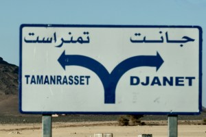
It’s worth knowing that according to the Djanet gendarmerie who give permissions, for some baffling reason, from Djanet this road is closed to tourists, even with a guide. We drove it eastbound in 2025 with a guide with no problems. Maybe eastbound from Tam makes a difference, as you can say that from Bordj you’re heading north to Illizi, even though it’s straightforward (and an amazing drive) to carry on east to Djanet which is a dead end (no open borders to Libya or Niger).
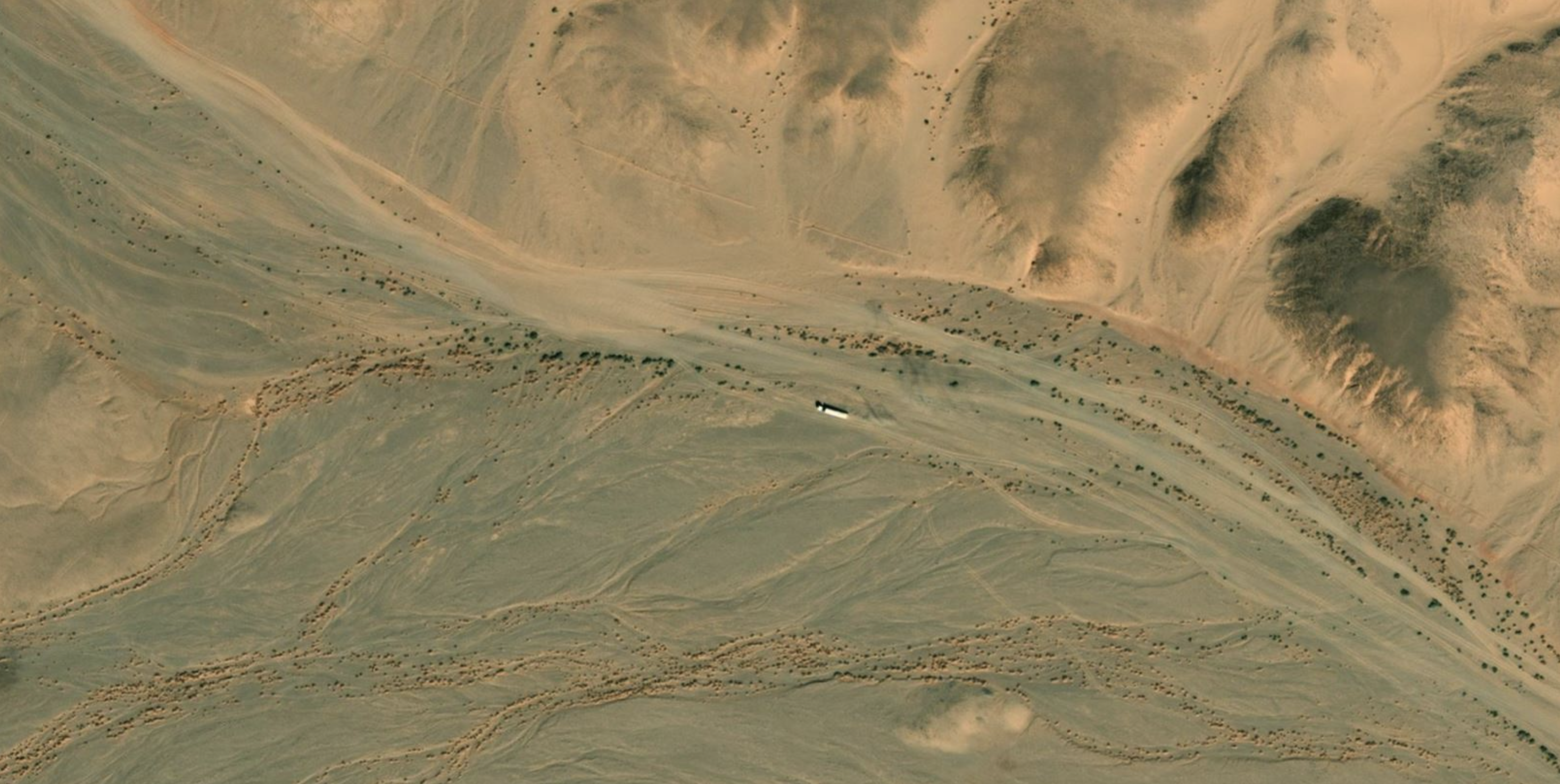
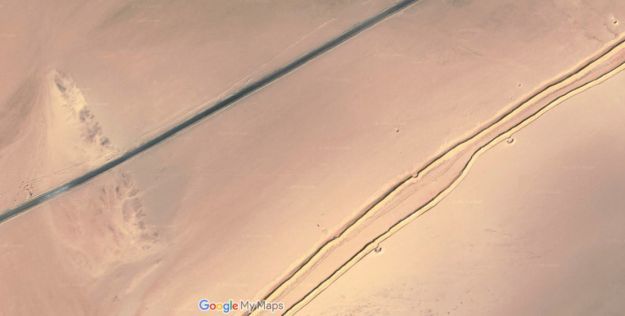
In April 2026 sat imagery showed the gap in the tarmac had shortened in the west by about 9km to 85km. But as said, it may all be sealed. Soon we will know for sure.
How the surface with survive the baking summers and pummelling of trucks remains to be seen, but that’s been an issue since they finished Trans Sahara Highway from Algiers to Tam in the early 1980s. It’s said the TSH remained intact over its 2000-km distance for just one year before flash floods, poor engineering and overloaded trucks beat the bitumen back into rubble. In January 2025 we did the full TSH too; there’s probably 100km of diversions over sand and gravel.
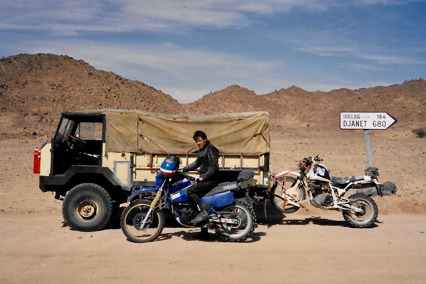
Djanet to Tam
This description may be out of date now but about 8km west of Serouenout checkpoint (270km from Djanet) the tarmac ended in 2025. After 24km there was a short, 20-km section of tarmac, and then you’re back on the piste south of the new road’s alignment for about 70km. Once back on the road around 24.264, 6.4864 (if not already), it’s about 80km to Ideles roundabout (fuel in town) and another 140km on to Tam via In Amguel on the TSH, or about 190km along the scenic ‘Hoggar Ring Road’ via Col Azrou and Tahifet.
Sahara Overland Route A6
In the good years (1970s, 80s and 2000s) various tracks between Djanet and Tamanrasset and Hoggar mountains all combined to make classic multi-day adventures in southern Algeria.
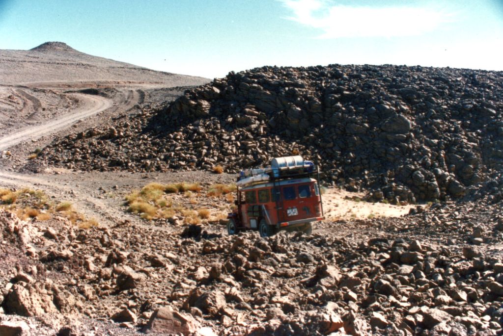
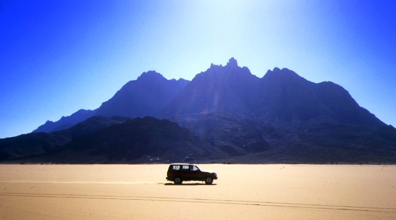
Heading west on Route A6, (the current N55 road), you traversed below the ramparts of the Tassili N’Ajjer plateau, long famed for its prehistoric rock art, then either turned southwest at Bordj el Haouas for Tazat mountain (below right), or used the same mountain as a landmark after crossing the dunes of the Erg Admer (below left; Route A7),
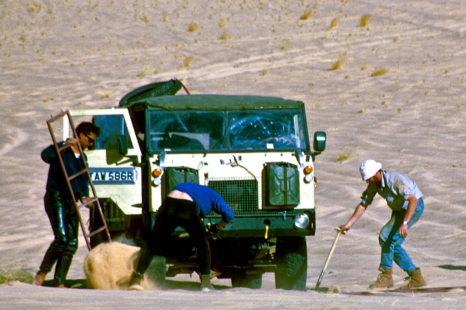
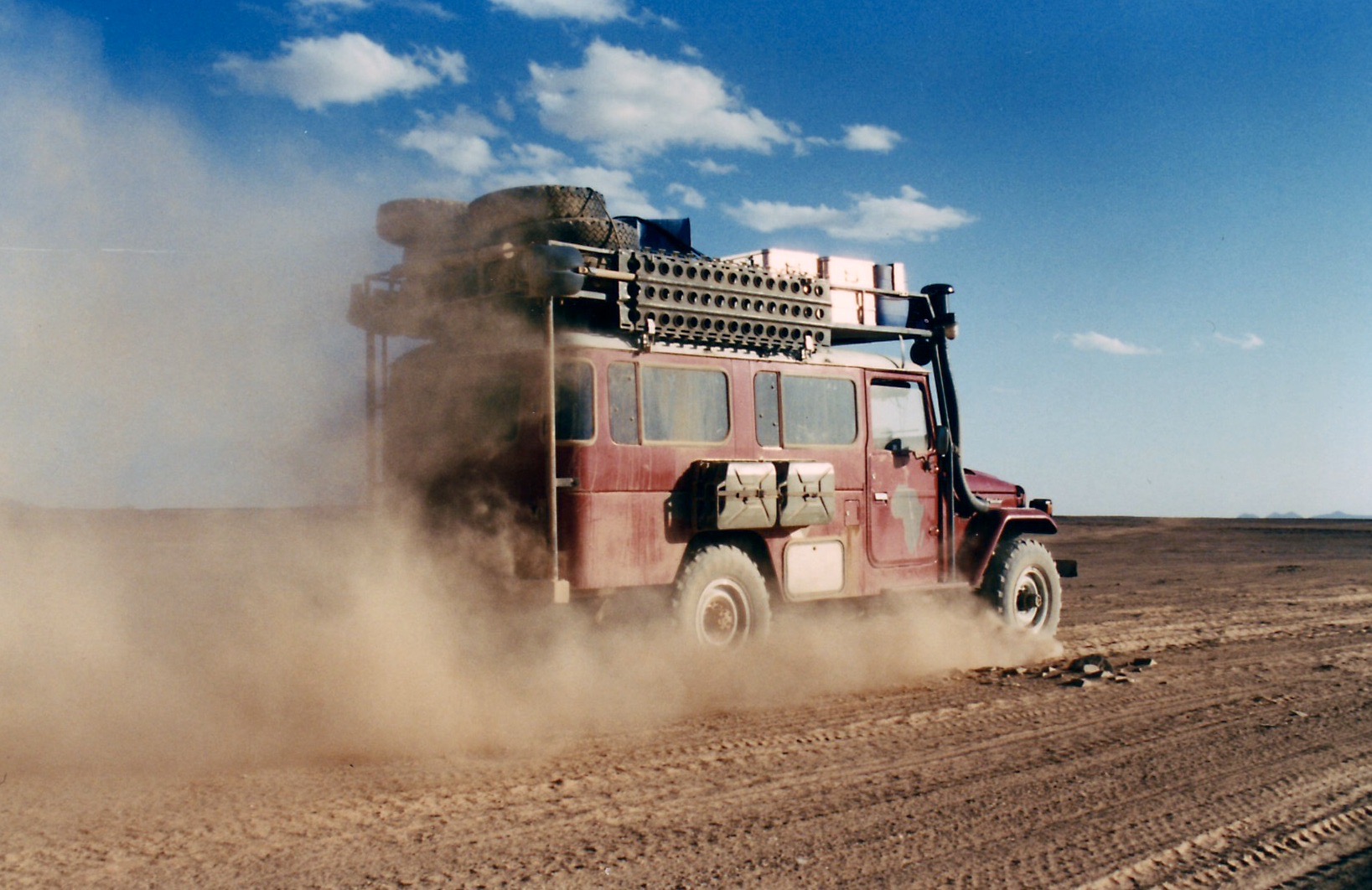
Passing isolated volcanic cones, plugs and other outliers, the basalt rubble from the once molten Hoggar raised you up to Assekrem, a few hours from Tamanrasset and a refuel. The main route used by non-clandestine locals (A6 in my old Sahara Overland guidebook bottom of the page) was still nearly 700 kilometres or two desert nights for most. It was also on the limit of what a moto could manage alone.
When I first did it in 1987, the road from the north ended in Illizi, 400km from Djanet over the Fadnoun plateau. That all added up to over 1000km and one of the best all-dirt stages in southern Algeria (above), with just enough pre-GPS navigational challenges to keep you on your toes. It was rare to pass more than one or two other vehicles during the transit.


In the 1980s the army were tasked with building a road over the Fadnoun’s switchback escarpments. Up to that point, trucks supplying isolated Djanet had to take a huge, sandy detour to the west via Amguid, nearly doubling the road distance.
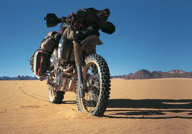
After about ten years the Fadnoun (below) got sealed and today is still a great drive, even if the road is breaking up here and there and occasionally lorry drivers fall foul of the Fadnoun’s curves (left).

Morocco is famed for sealing it’s southern desert pistes faster than we can keep up, but Algeria has been catching up, only over vastly greater distances and probably with access restrictions to the military. A whole network of ‘hidden’ border highways, remote military bases as well as vast defensive sand berms (below) have emerged in recent years to control migrant traffickers coming up from the south.
Even though they’ve succeeded in sealing this traverse, A6 Tam-Djanet (N55) still remains one of the great routes in the Sahara and there’s no need to follow the new road. There is A7 to the north which we also partly did in 2025, A14 in the deep south I last did in 2007, and at least one more route via Tiririne, Tarabine which we did in 1989 and again in 2006 on the way back back from Mauritania on Sahara: The Empty Quarter. For me this was all before gpx tracklogs but these routes are probably traced on OSM maps or Wikilocs. So do not be put off by the road being officially closed to tourists. As long as you (and your guide, if present) are prepared and equipped to tackle these pistes, they still offer some of the best, long-range routes in the central Sahara.