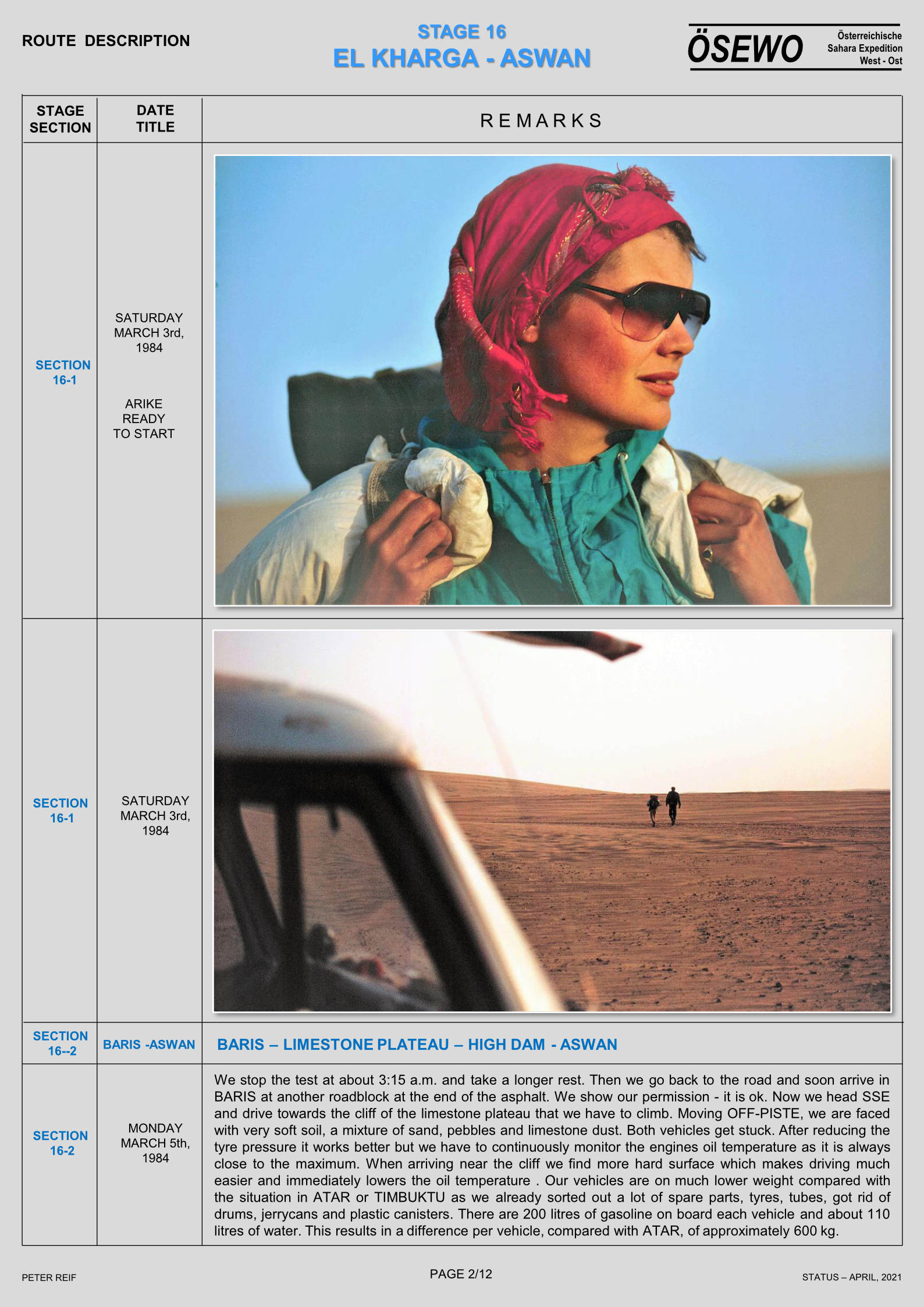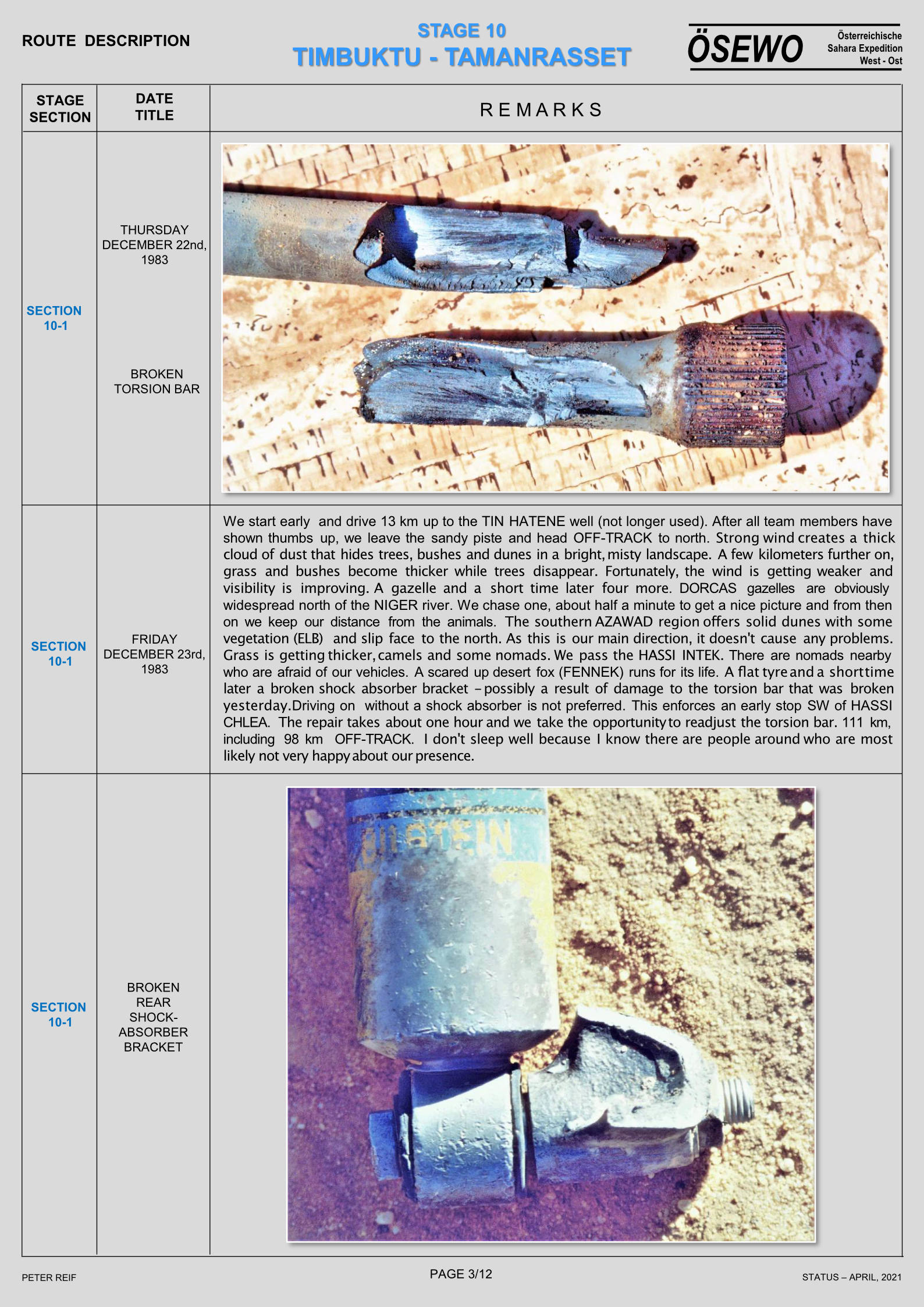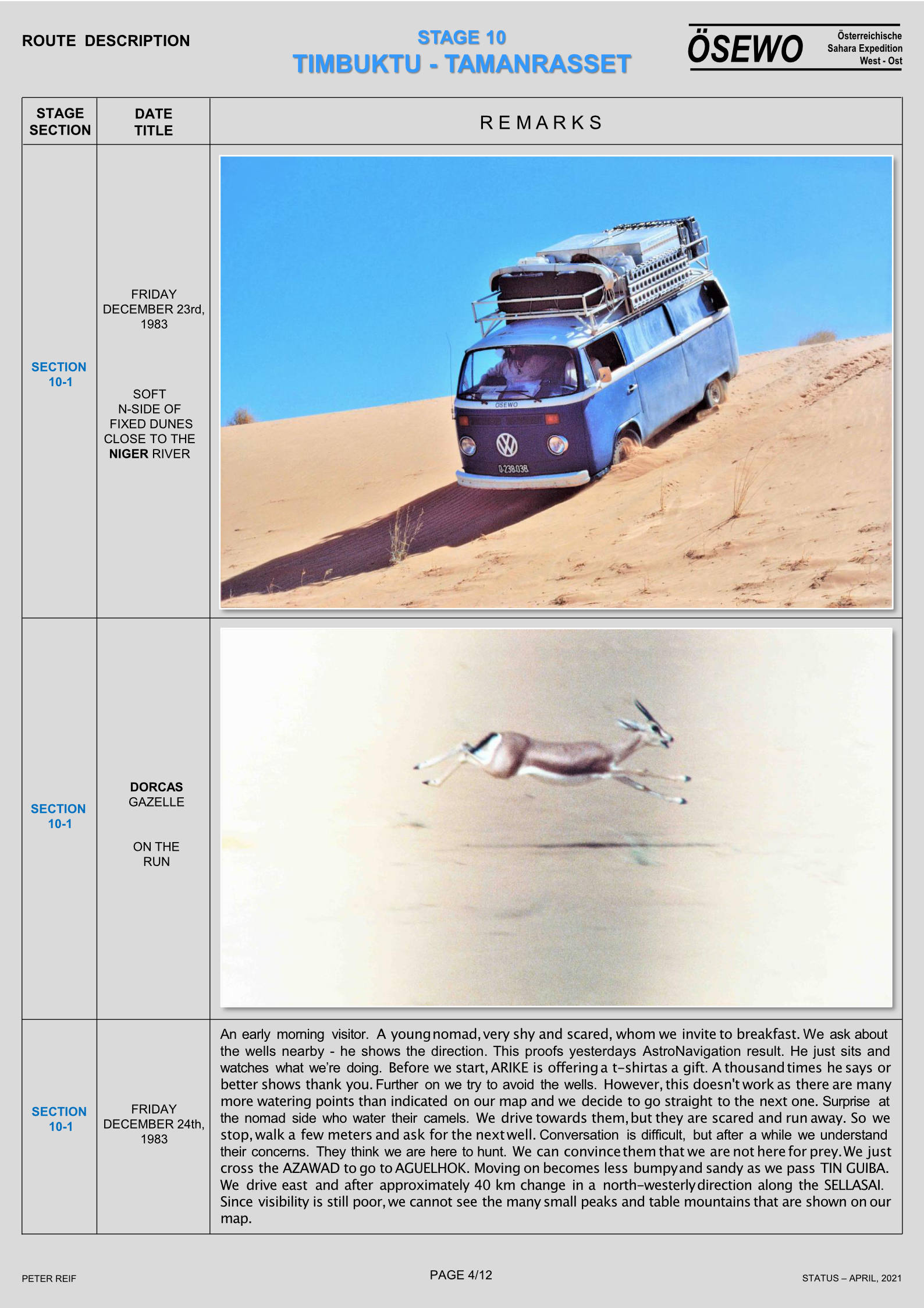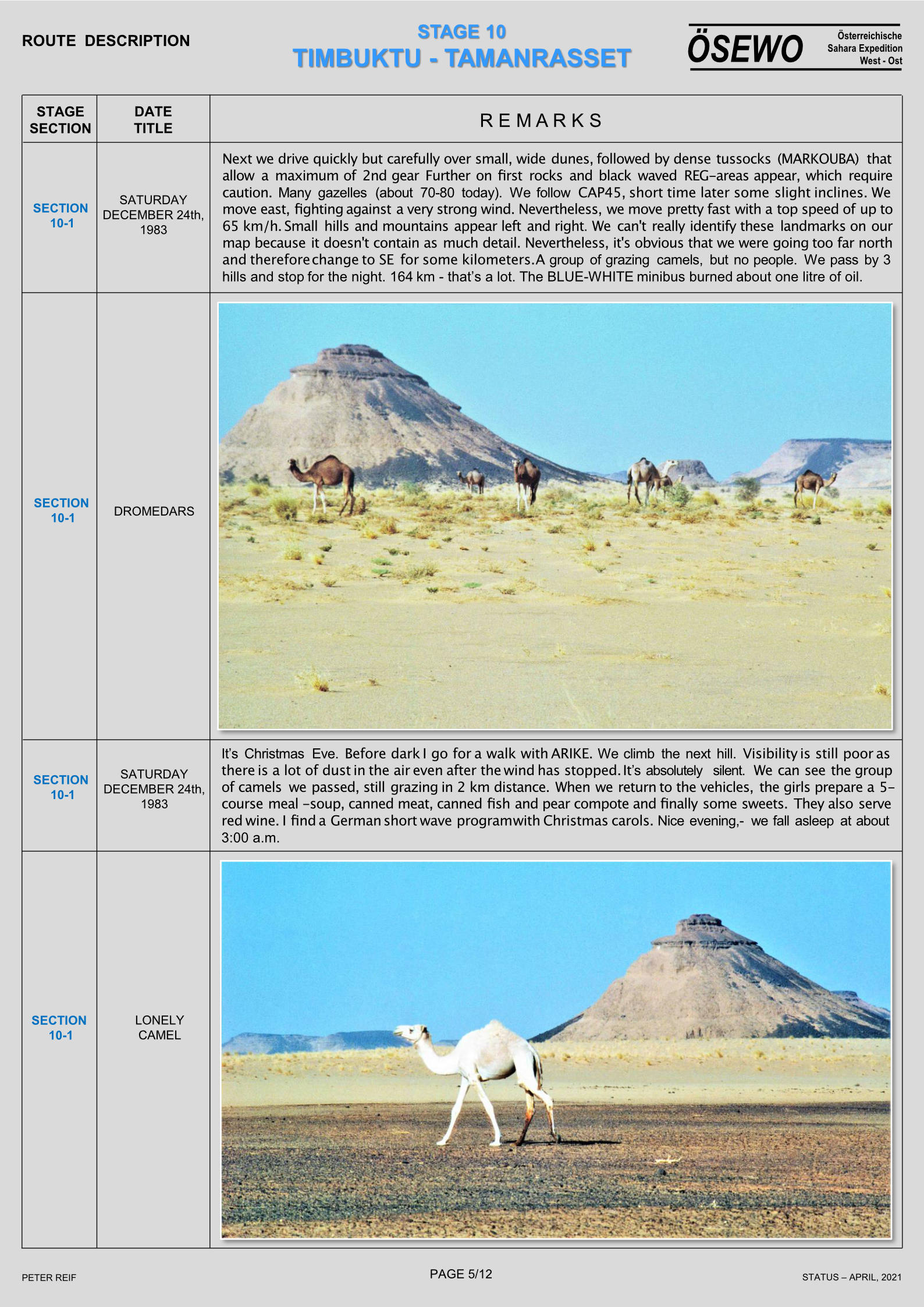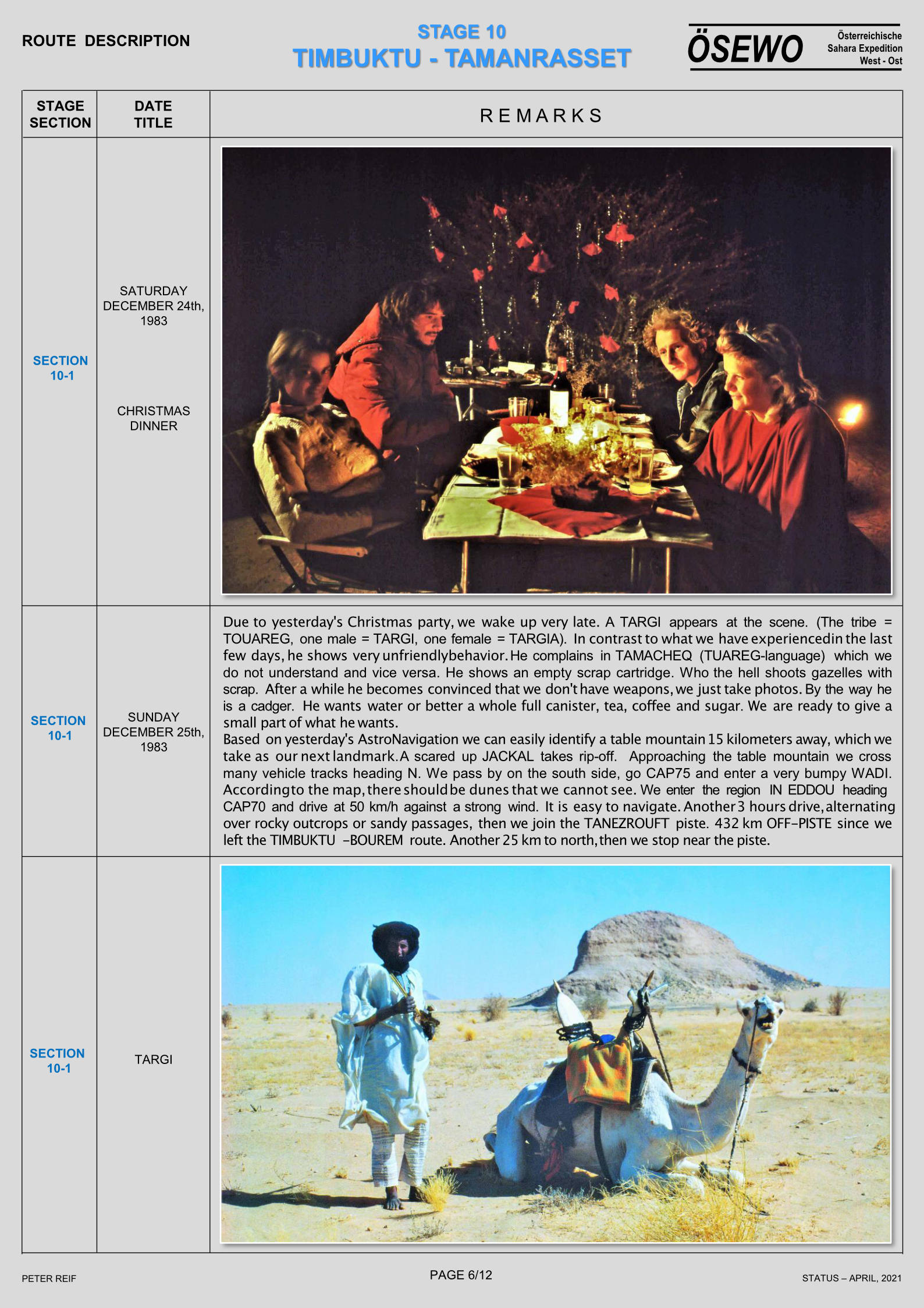
With added info from Duncan B and Grant @HU
See also:
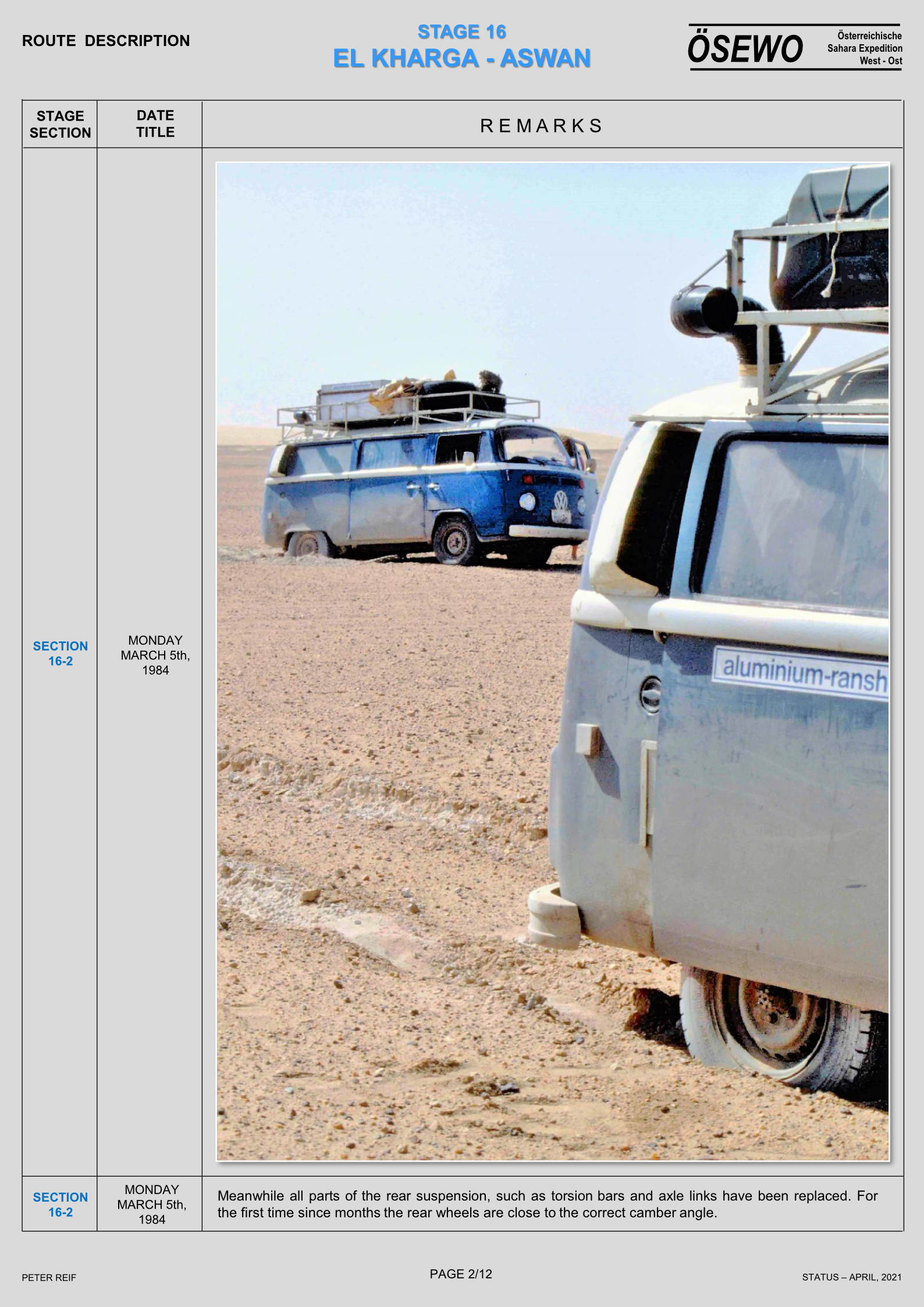
Morocco Maps
Time for my Tablet: Samsung Tab + Gaia GPS vs Garmin Montana
How to trace a tracklog
Michelin 742 Morocco (2024) map review
Map review: Reise Know-How Morocco 1:1m (2023)
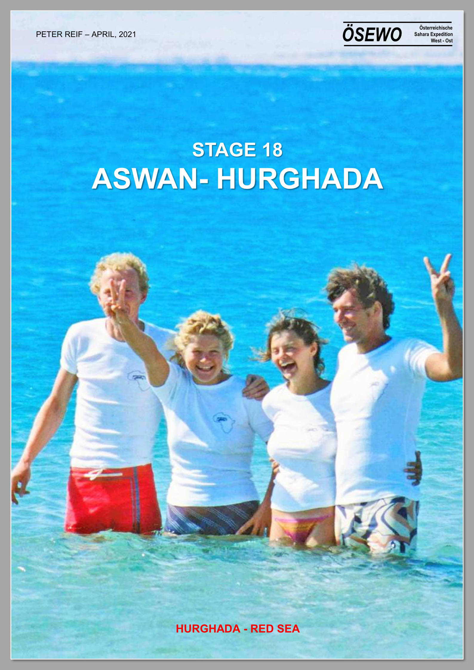
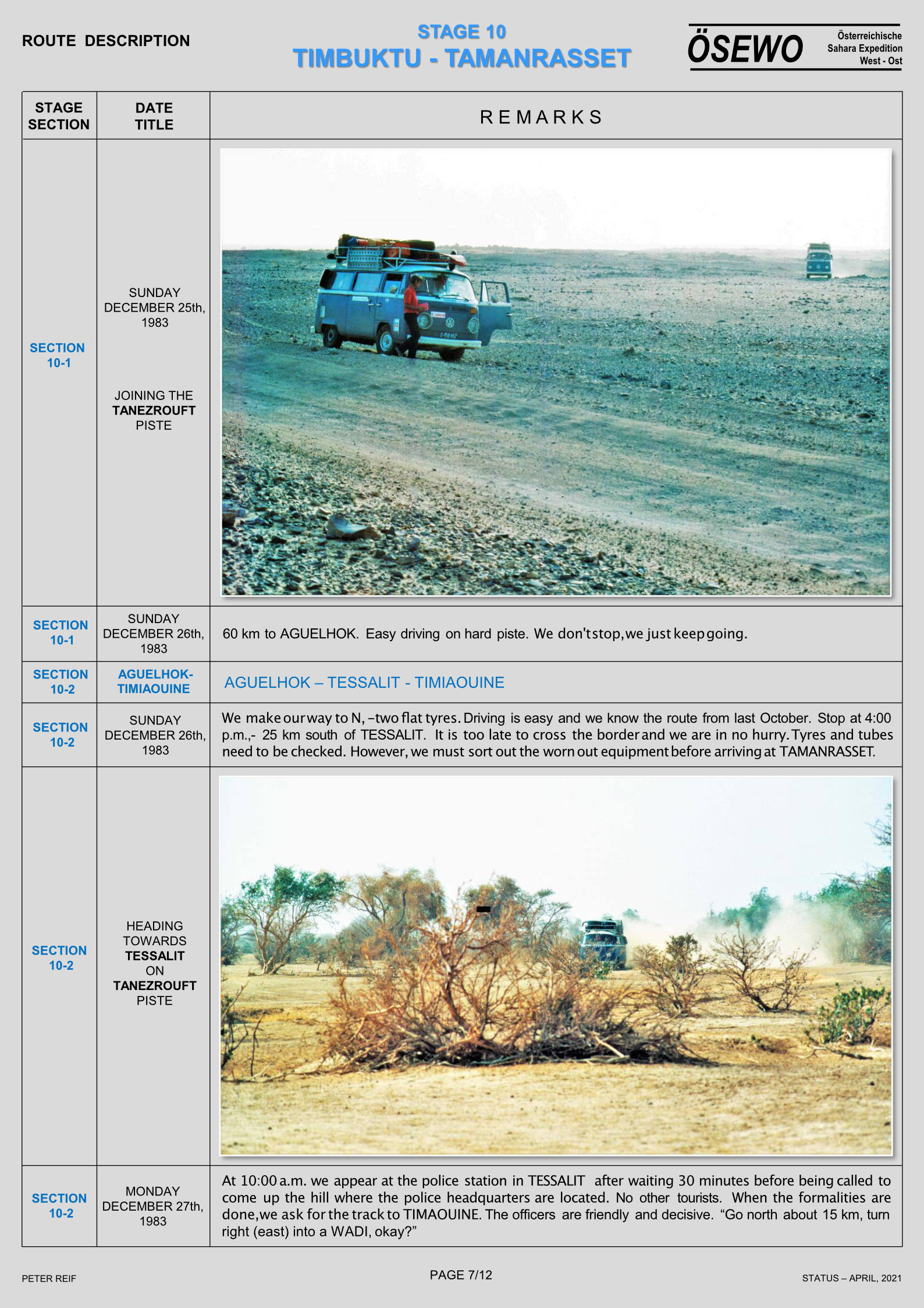
Updated September 2025
Short version: Gaia detailed mapping on big tablet screen better for following, but Garmin 680 better for easy and reliable recording with minimal tapping faff.
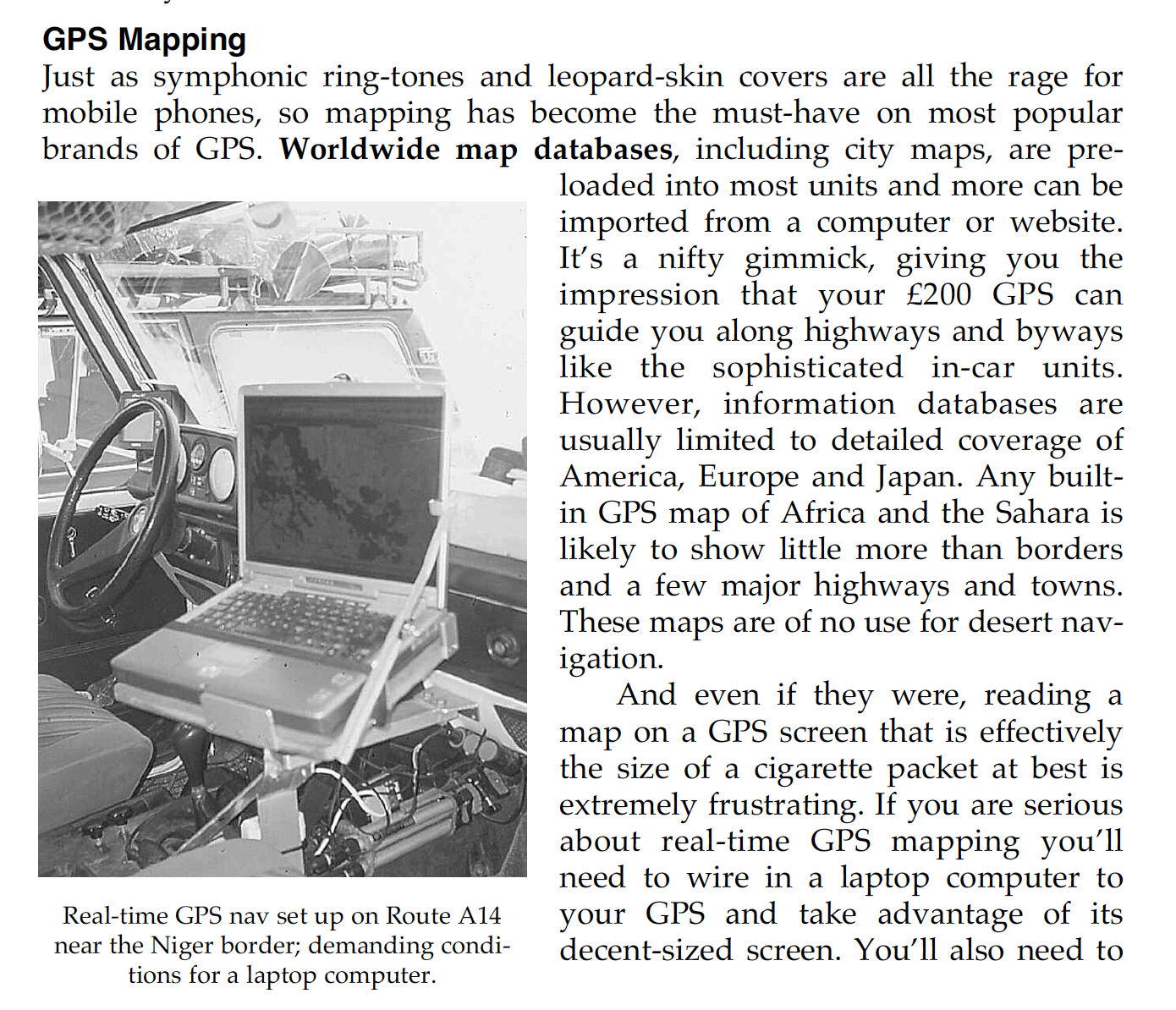
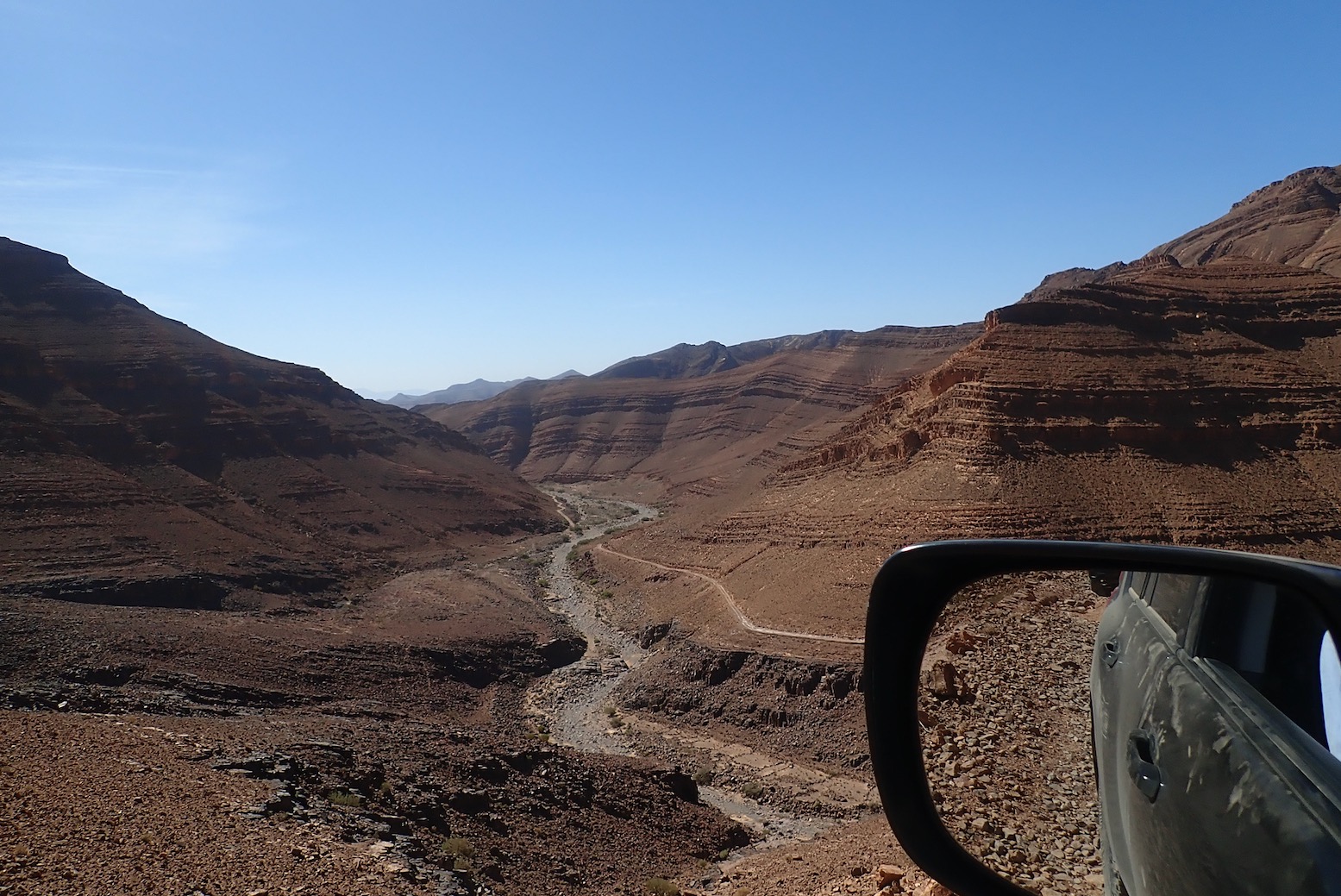
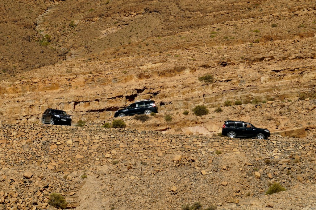
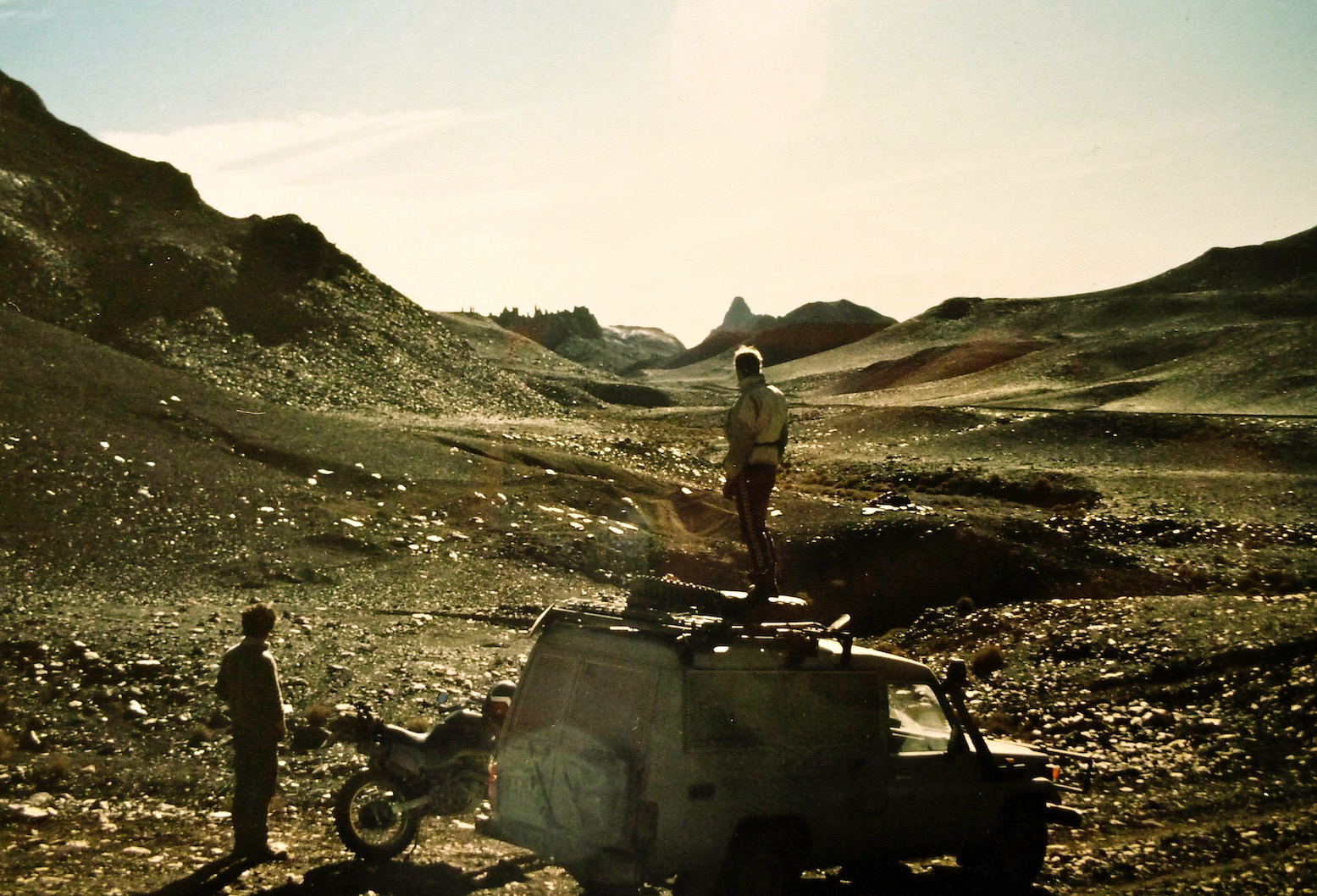
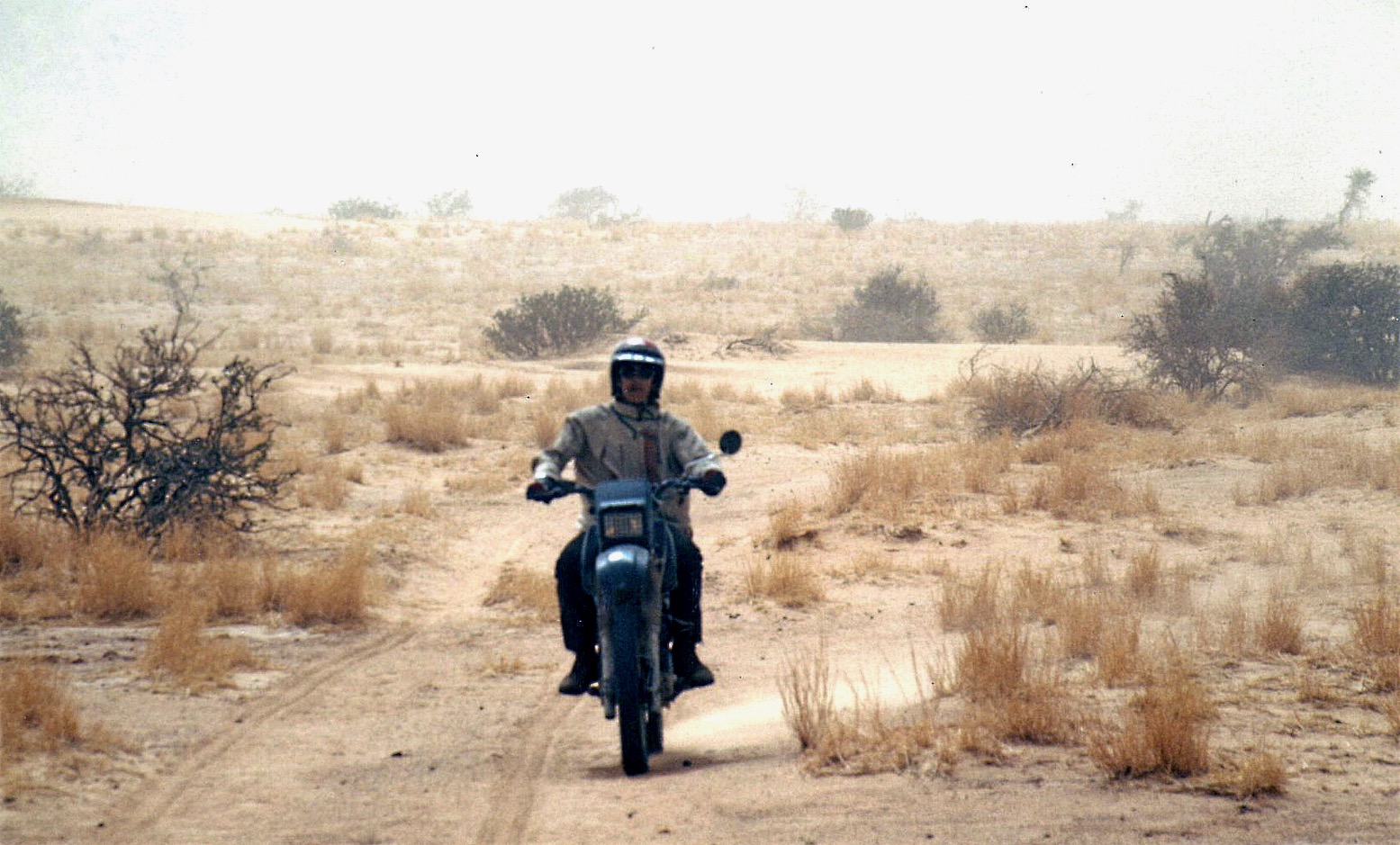
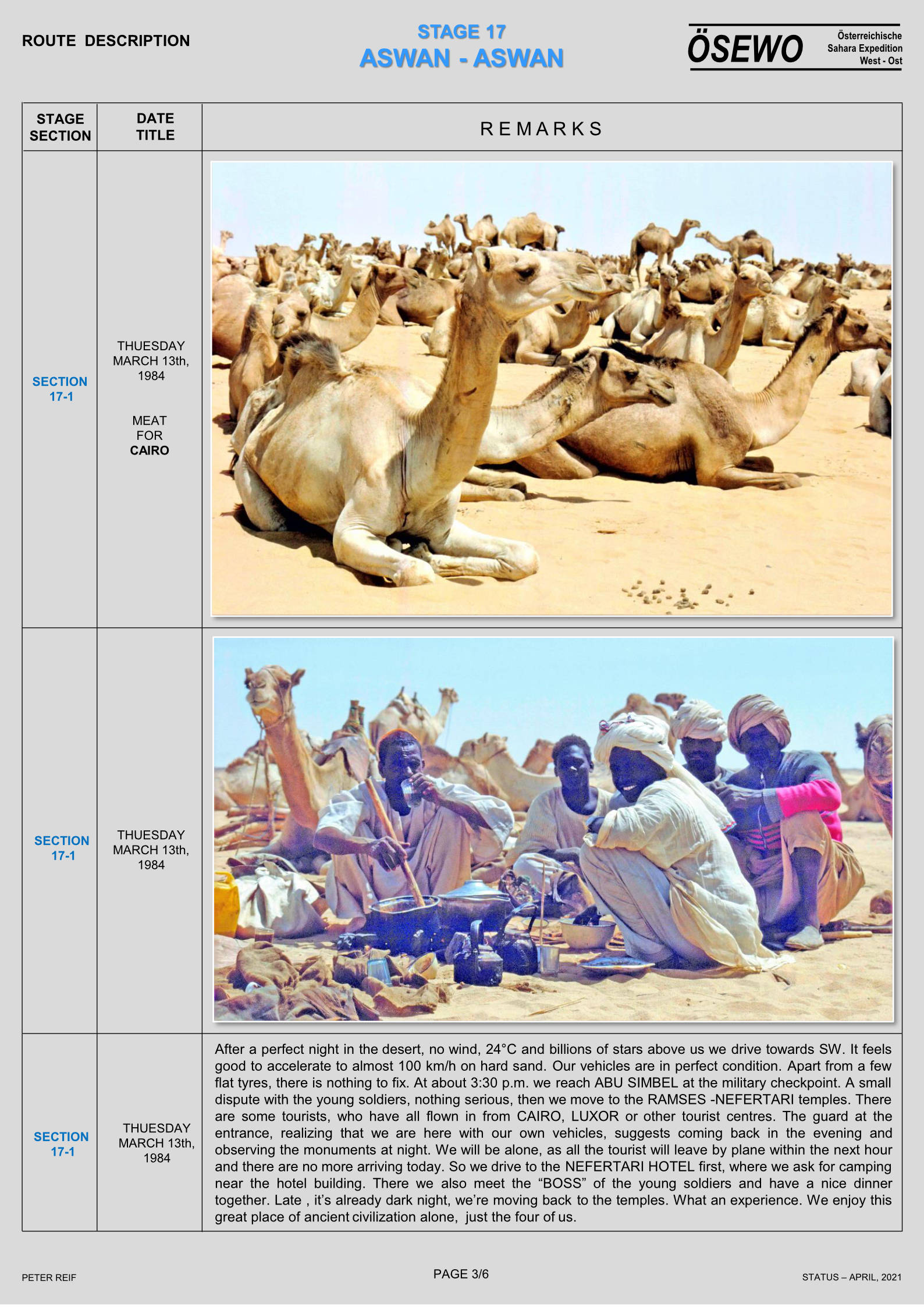
In the early Noughties I recall meeting a lone G-Wagen near the Monts Gautier in far southeastern Algeria (Route A14). They’d hooked up their GPS to a laptop for big screen nav. It was the only sensible way to do it in a car if you wanted that sort of thing, but would have been hard on the spinning HDD drives of that era.
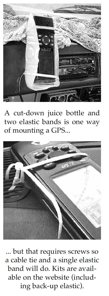
I’m not sure I even owned a laptop at that time. Instead we managed to research and log the scores of routes in Sahara Overland with a hardback jotter and a Garmin 12 or a ‘big screen’ 76 mounted in a sawn-off juice bottle and an elastic band. When needed, I transposed the lat/long reading to the then still excellent IGN 1 million maps using a ruler or a more accurate roamer grid (below).

You could then pinpoint your position with adequate accuracy for the expansive Sahara because, unless you were looking for a cache (which we’d buried the previous day for Desert Riders), that was good enough to locate yourself. Otherwise, as the Austrian guys had done, you had to scan and carefully calibrate your paper maps (taking into account the map’s projection format) so that the moving cursor dot would mark your precise location.

Fast forward 2.2 decades…
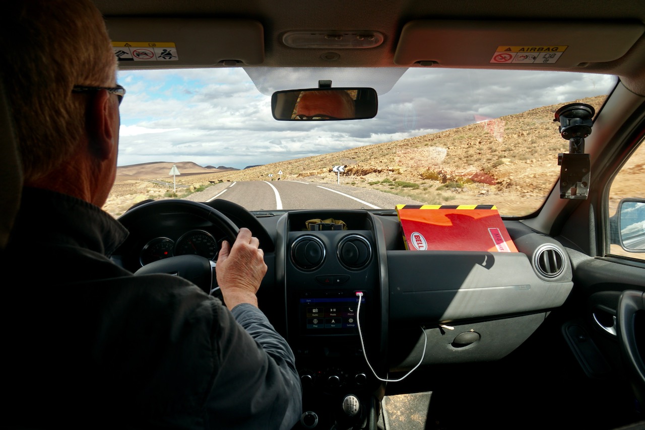
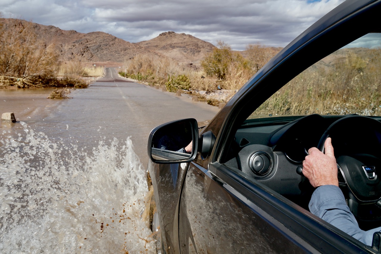
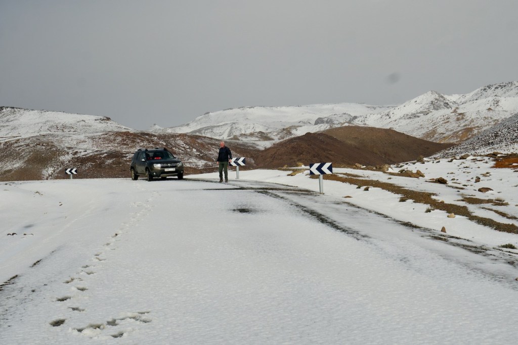
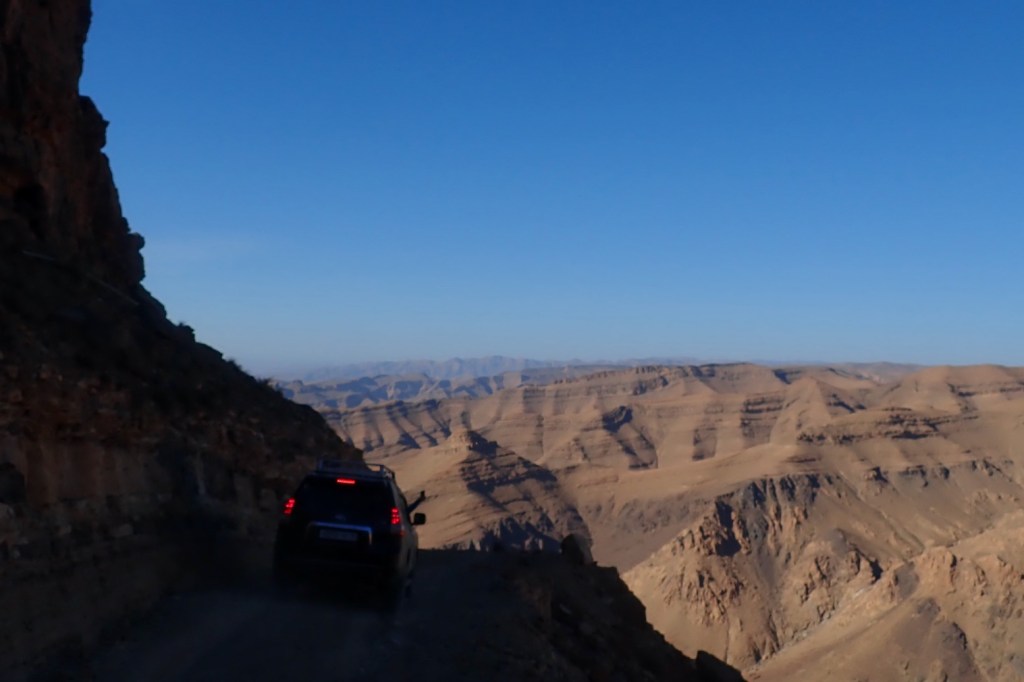
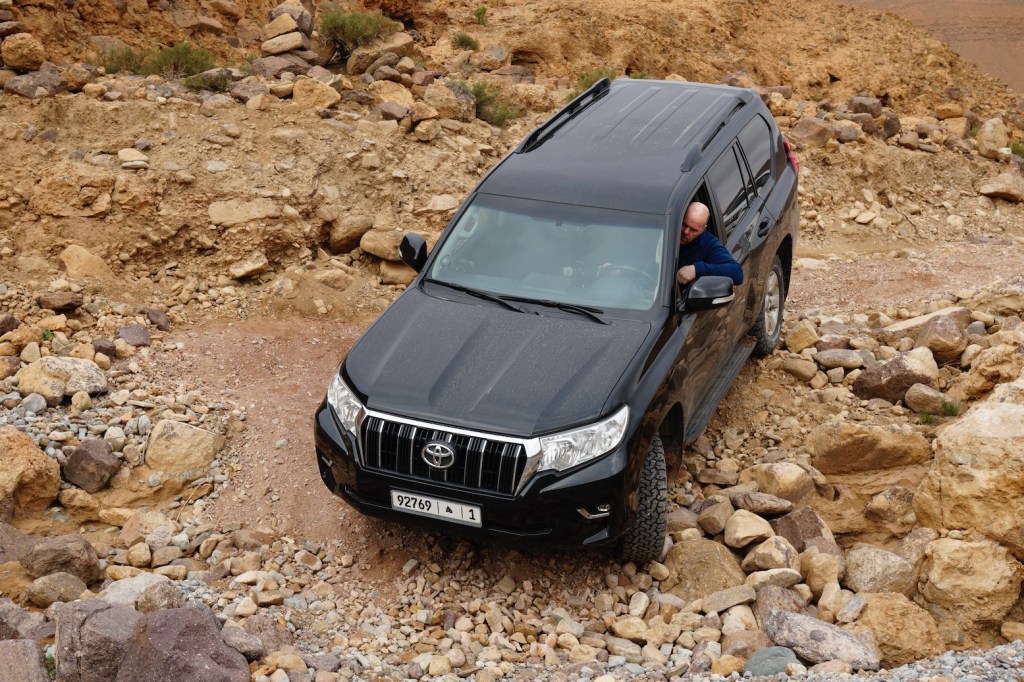
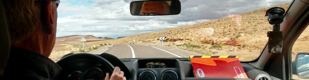
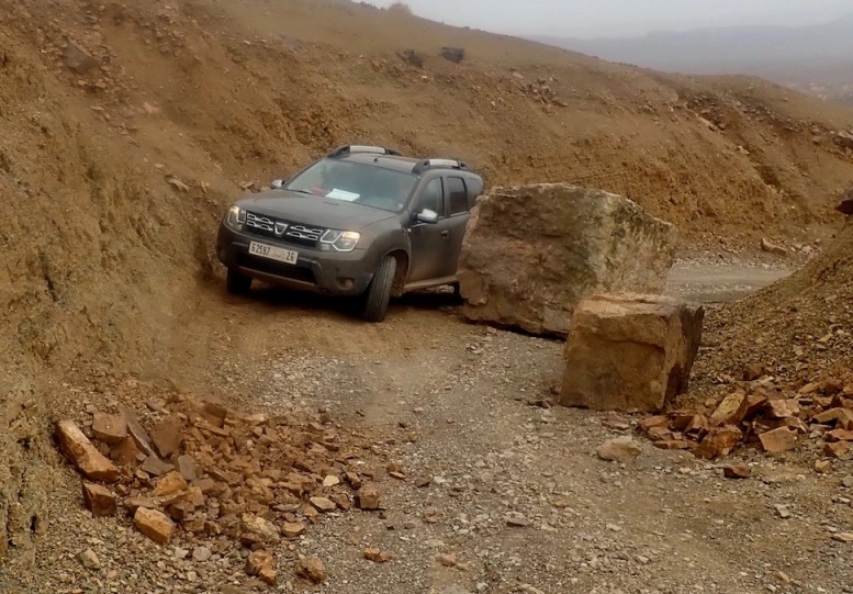
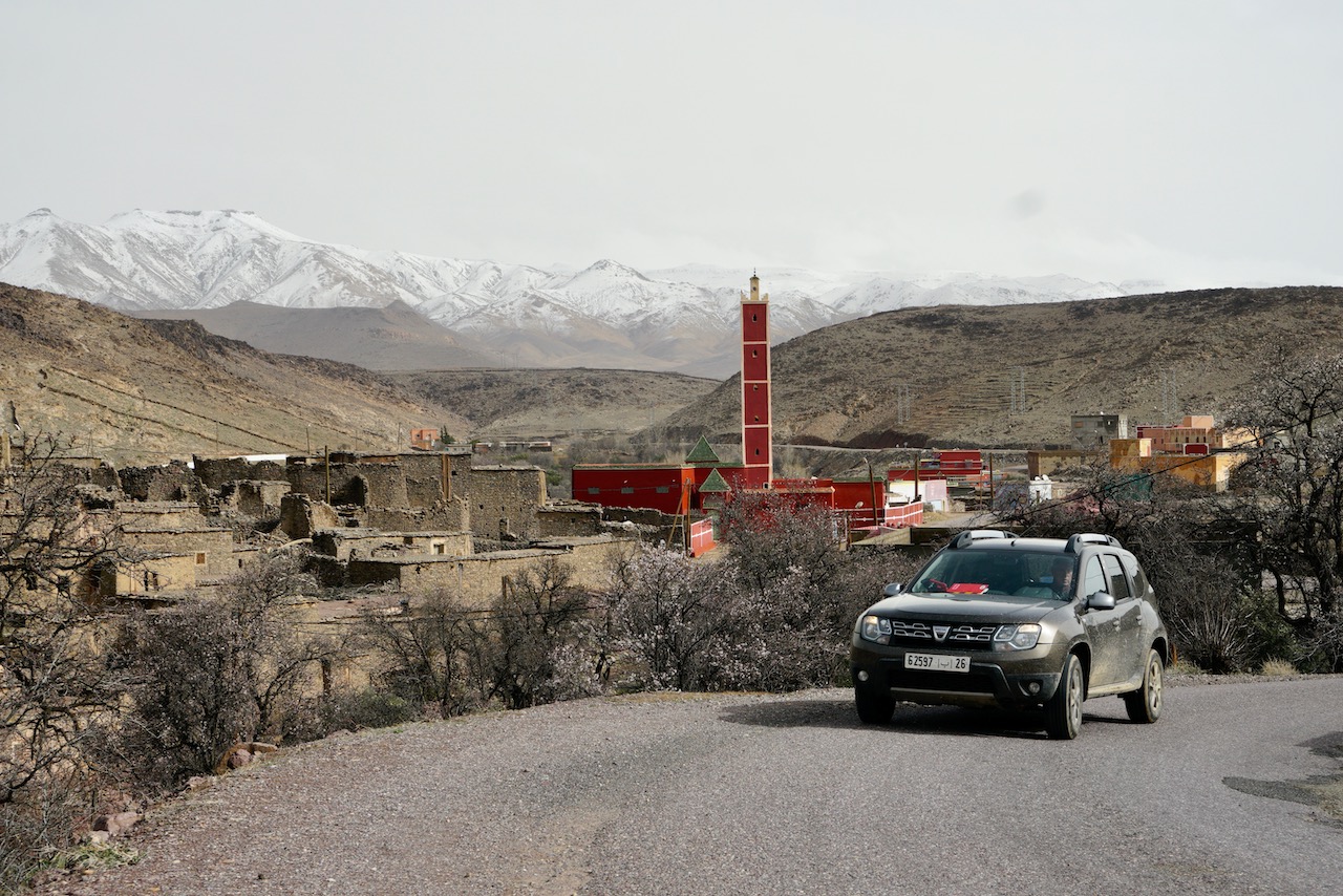
… and I was driving Duncan Barbour on a recce job in Morocco (more of which later) while he logged our convoy’s route on an iPad. I had my hands full and so assumed his setup was off his phone but in these phablet days, his SIM- enabled iPad was all he needed, along with an app like Gaia GPS. In the meantime a couple of others confirmed it was no longer possible to mirror a Garmin GPS onto a larger screen, be it laptop or tablet. Perhaps because Garmin want you to buy their 5 or 10-inch Tread series from £500 to well over a grand + subscriptions.
I already owned some 400 quid’s worth of 680T Montana, the Garmin handhelds which in 2010 changed the game by being able to load several increasingly better base maps and not just record tracklogs and waypoints on what in the Sahara had hitherto been an essentially blank screen.
(Don’t start me on this ‘scraps’ thing on the OSM database…)
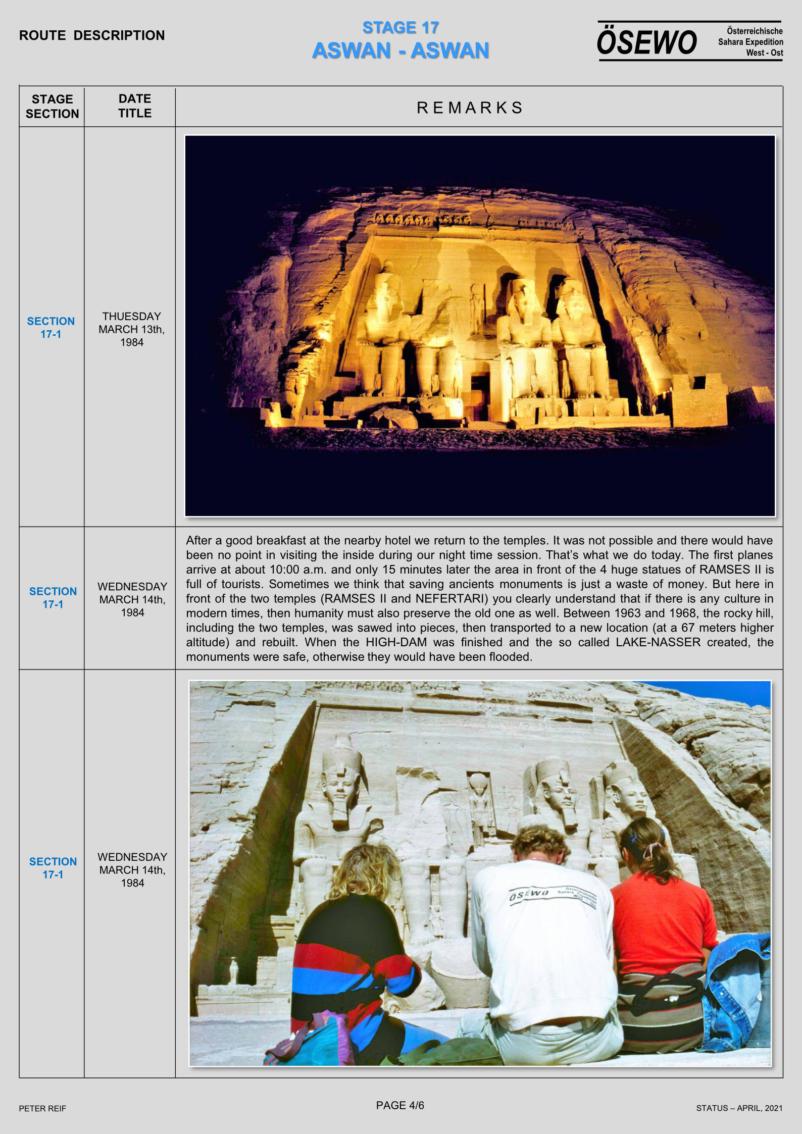
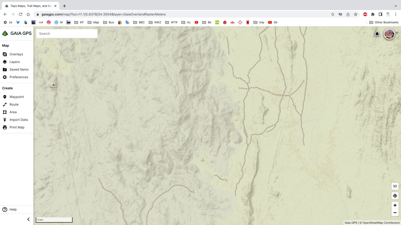
Since then digital mapping has improved to the point where there are topo maps based on OSM of the middle of the Sahara nearly matching the classic IGNs. Problem is, unlike the paper maps, these OSM-supported maps have been in part automatically rendered – the discontinuous scraps of tracks are a dead give away, as above (southern Tefedest, Algeria).
A year later and I see I was quite wrong about this. These disconnected tracks and paths – some less than a hundred metres long, have actually been added – presumably remotely from aerial imagery – by over-zealous OSM contributors whose understanding of ‘ground truth’ is… different. I have since found them all over southern Morocco on the OSM database, often with no path visible on any of the aerial layers and very often the work of one contributor who just does not get it. It can sure make it hard to see the main track among all the clutter.
Anyway, even with the on and off lifting restrictions on overlanding in this part of Algeria, such maps will still take forever to be completed with genuine tracklogs while the IGNs show it how is was (and still is). But with Gaia GPS Premium it’s also possible to download high-res WYSIWYG satellite imagery to use offline (see bottom of page). Plus there’s nothing to stop you travelling with paper IGNs or similar, or scan of them on your device.
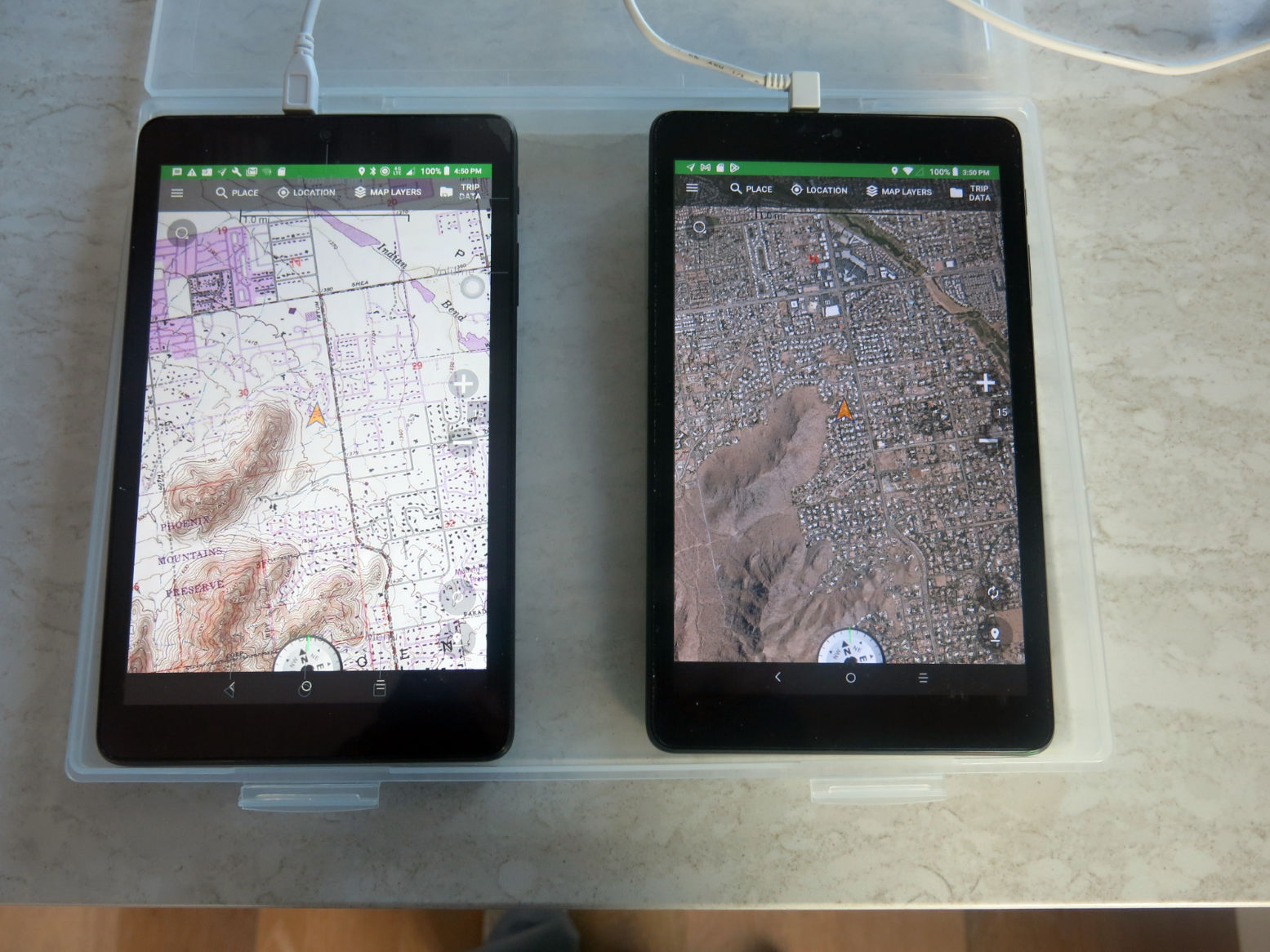
Tablet + Gaia GPS app vs Garmin Montana GPS
- Tablet + Gaia good
- Cheap to buy/lose/break
- Can do internet/phone/camera etc
- Big bright 8″ screen
- Loads of Gaia maps (once subscribed)
- The desktop app is much easier to navigate (keyboard/mouse)
- ESRI (or non-Google) sat imagery downloadable too
- Masses of memory (1TB)
- One tap track recording
- Loads of (messy) public tracklogs on the Gaia map (can be ‘muted’)
- Works on my iPhone 7 (but not Android phone)
- Gaia GPS free Topo map is nicely rendered for an OSM
- Samsung tablet/Gaia less good
- Gaia GPS requires subscription for good stuff
- Freezes or take ages to fire up (could be my tablet CPU?)
- Gaia takes ages to get a fix
- Tablets (and phones) can overheat
- Baffling organisation of saved Gaia files in folders
- Hard to tap and manage on the move
- Hard to save precise waypoint easily
- Screen decentres after inputs
- Battery life: must be plugged in unless dimmed
- Proper car mounts are expensive but needed
- Gaia GPS app froze on my Android phone
- Samsung A7 fried 2 motherboards in 2 years. Replaced with cheaper A9.
- Garmin Montana + OSM Topo good
Rugged build (good for motos) - If needed, li-ion battery lasts all day (or takes AAs)
- Once customised and familiar, interface easy to manage
- Fits in a pocket
- Will do routing like a car satnav (Gaia may too)
- Won’t overheat
- Garmin less good
- Expensive to buy
- Small and dim screen
- Limited miniSD capacity (32GB)
- Freezes/crashes occasionally
- Needs BaseCamp and other (free) Garmin apps on a computer
- Easy to forget tracking, zero the trip meter, etc
- ‘Keyboard‘ is comparatively excruciating
- It’s only a GPS + a rubbish camera

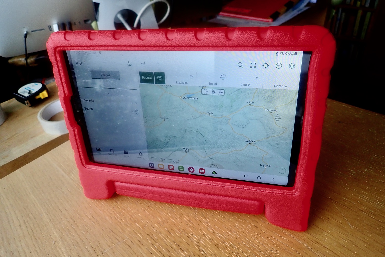
Samsung A7 Lite
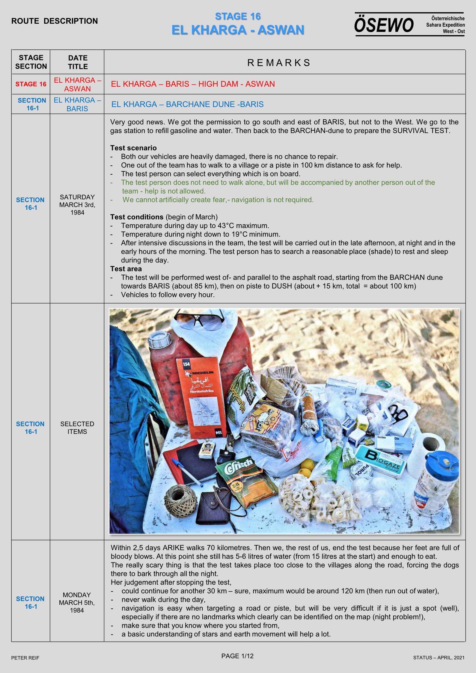
I decided to try Gaia GPS on my own car recce and settled on a Samsung A7 8.7 incher; £120 from Argos. It has a metal case, takes up to 1TB microSD and weighs 330g when fully charged. CPU speed is 2.3GHz, 1.8GHz Octa-Core; I don’t know if that’s a lot, but 18 months in it fried its motherboard, got repaired on warranty, then did the same at 25 months, just out of warranty. Is that normal for a lightly used Samsung tablet? Don’t know but I replaced it with a near identical A9 for just £85. If that packs up too I guess I’ll just get an iPad. My laptop and desktop have always been Macs, but an equivalent new iPad Mini starts at a staggering £750.
I owned a crappy old Samsung mobile once; the A7 has the same interface so the A7’s Android learning curve was pleasingly pruned. Best of all, I was able to flog my Kindle Fire for 40 quid and remain ‘gadget neutral’ in line with current government advisories.
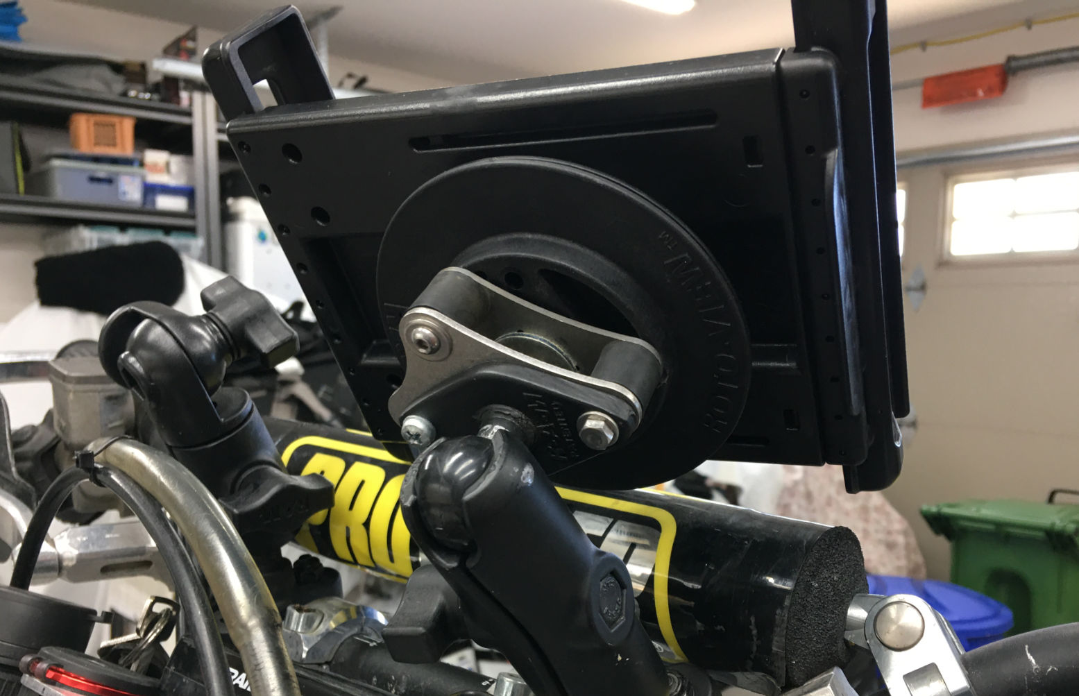
The A7 got fitted with a screen protector out of the box but the all-metal body is very slippery so needs something better to handle it. I have a RAM windscreen sucker and flange mount but was shocked at A7 RAM ‘Tough Dock’ prices which easily exceeded the cost of the tablet.
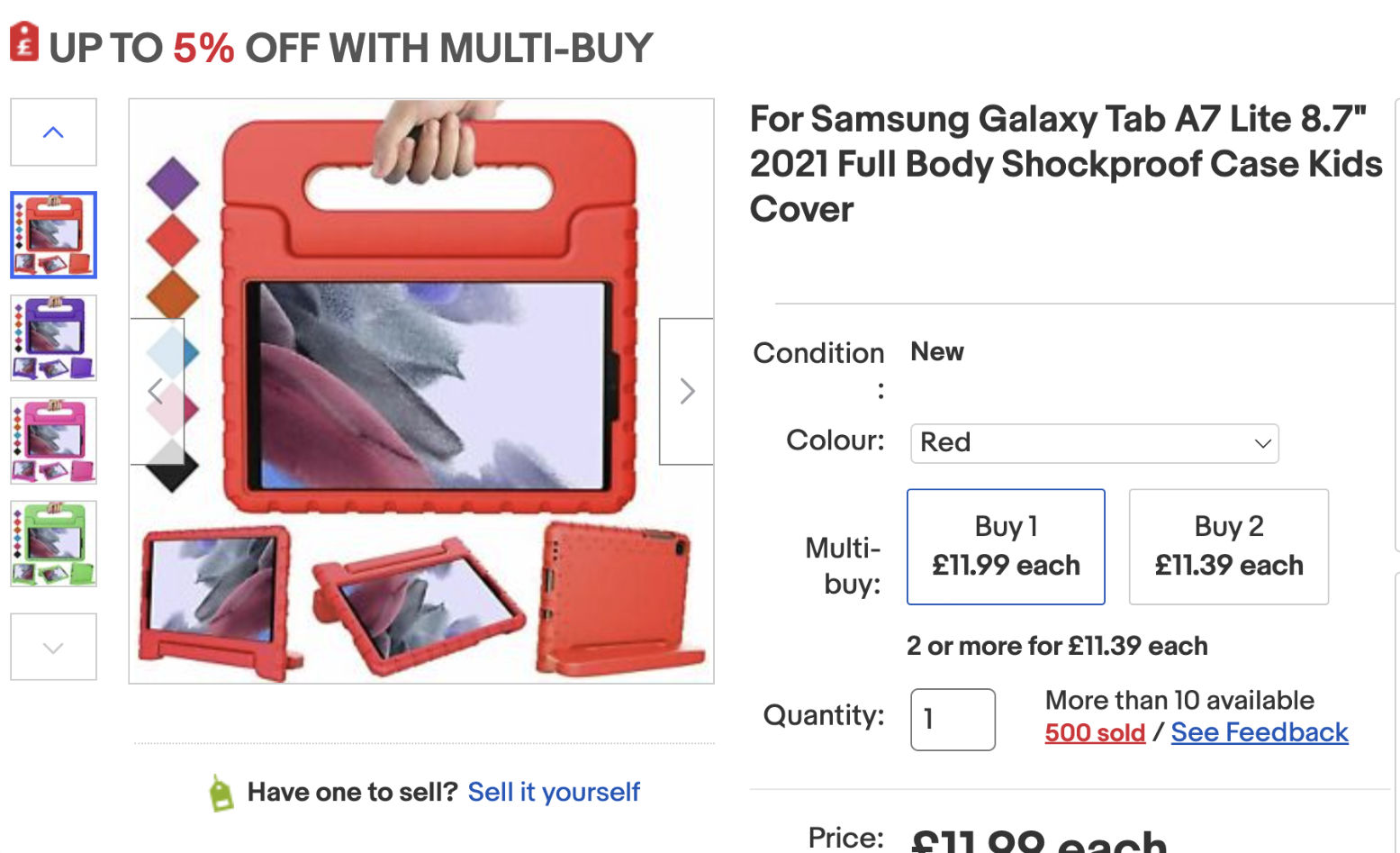
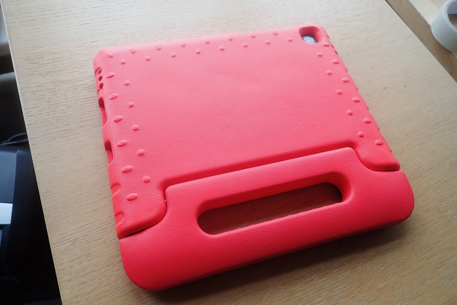
In a car it’s not going to get run over and smashed, like on a bike, and I’m not rallying, so I bought child’s foam case off ebay for £12, complete with vomit-proof standle. I ended up zip tying it to a handle or rear view mirror
Adult mounts and other options
One the left, the DR400 of Grant from Horizons, based in BC: another A7 on a RAM Tough Dock mount. Grant says the unit tends to droop on rough terrain, which is why people end up with Rally towers. Waterproof cases like Otters can be hit and miss he says (this is a benefit of Garmin’s Mil-810-spec Montana), though there are ruggedised tablets, like the Carpe Iter. “It runs DMD2 software launcher, which is also available for any Android device. Their unit is also excellent in sunlight, whereas the standard tablets are crap. I’m running the software now on mine, and it’s good. It launches GaiaGPS which is what I use the most.” says Grant. I do notice it has 128GB but will only take another 128. Still on bikes, Thork Racing (see YT vids) do bike-ready mounts and even roadbook-like thumb controllers to avoid trying to jab the screen with the chequered flag in sight.
Using Gaia
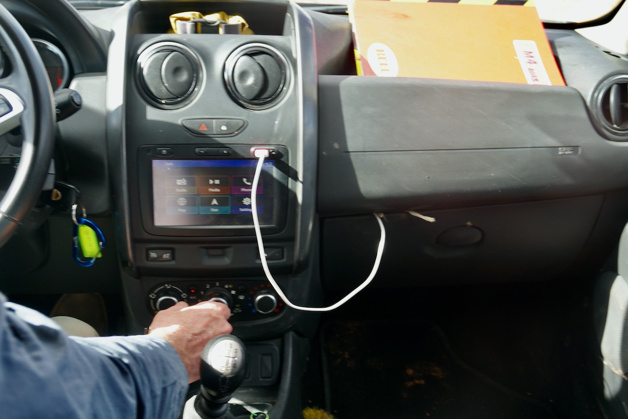
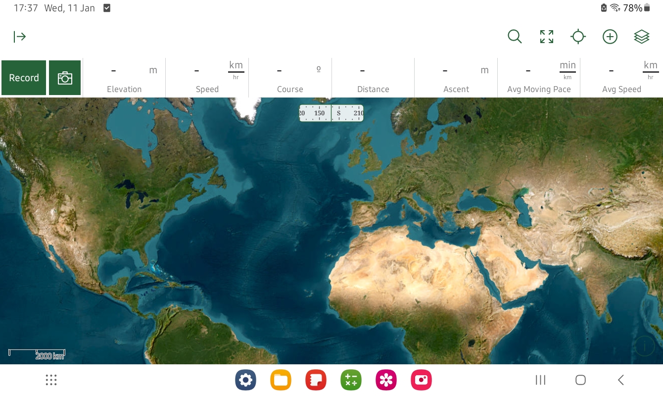
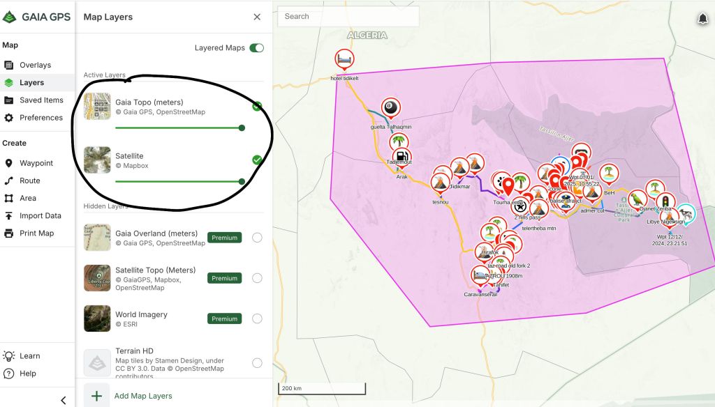
Note: it is possible I’ve yet to fully get to grips with Samsung and Gaia. I worked all this out by diving in and flailing around like a beached haddock; a good way to test how intuitive it all is. Pay your Gaia GPS subscription, log in and browse maps by one of four activities from the ‘Layers’ tab top right: Hiking, Overlanding, Pushbiking, Weather & Misc; there are at least a dozen maps for each. The selection is inevitably US-centric: see which best suits you. All you really need for Sahara is one good topo map and a satellite layer.
I chose the promisingly named. OSM-like Gaia Overland (metres) and World Imagery (© ESRI) satellite (find it under the ‘Hiking’ tab. I know ESRI often trounces Google in the desert). The other three sat imagery options looked less good. Sat is the layer you might want to zoom in on because, as mentioned above, the topo maps won’t be WYSIWYG, just an array of tracks added by OSM contribs with an inevitably sketchy hierarchy. The track you want may be in there among the clutter.
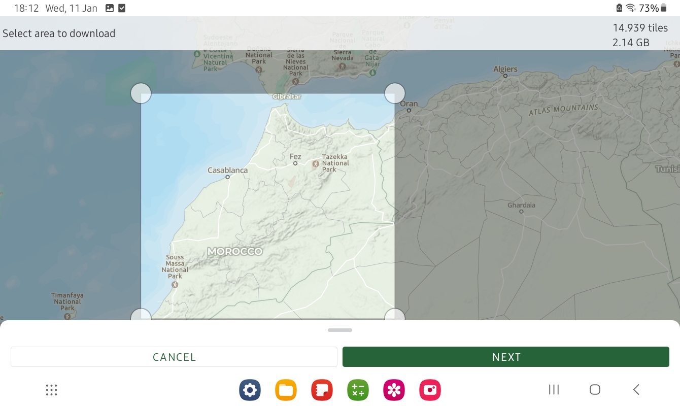
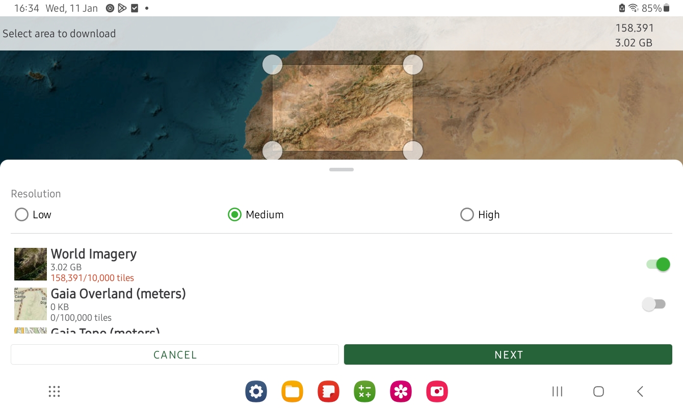
Then choose what maps you want to download so you can use your device offline in the hills. That is they key. Tap the ⊕ icon top right, choose ‘Download Map’, select a rectangular area and import, ideally into a folder if you plan to have loads of maps. As you can see in the examples above, the whole of Morocco in ‘Gaia Overland’ is just over 2GB, while a smaller area of ESRI covering about 15% of the topo map is 3GB. Full res ESRI covering the good bit of Morocco would have been getting on for 1TB. It really couldn’t be easier.
Recording and saving a tracklog
I laboriously emailed myself ~50 pre-traced tracklogs to and picked them up off the tablet to import into Gaia. This and especially sorting them out took quite some time.
I was warned getting to grips with Gaia’s folders is the thing; it’s so much easier on a desktop computer. Loading the Garmin with the same was easier, providing all the .gpxs have been index-accessibly named. I know we’re all supposed to be smartphone savvy now, but around this time you realise what a great invention the keyboard and mouse were.
For most travellers that will do: pick up the tracklog you want and follow it; the Gaia Overland map is pretty good in Morocco. I’m a bit different in that I’m over-recording a new, live track plus adding waypoints with distances and take notes.
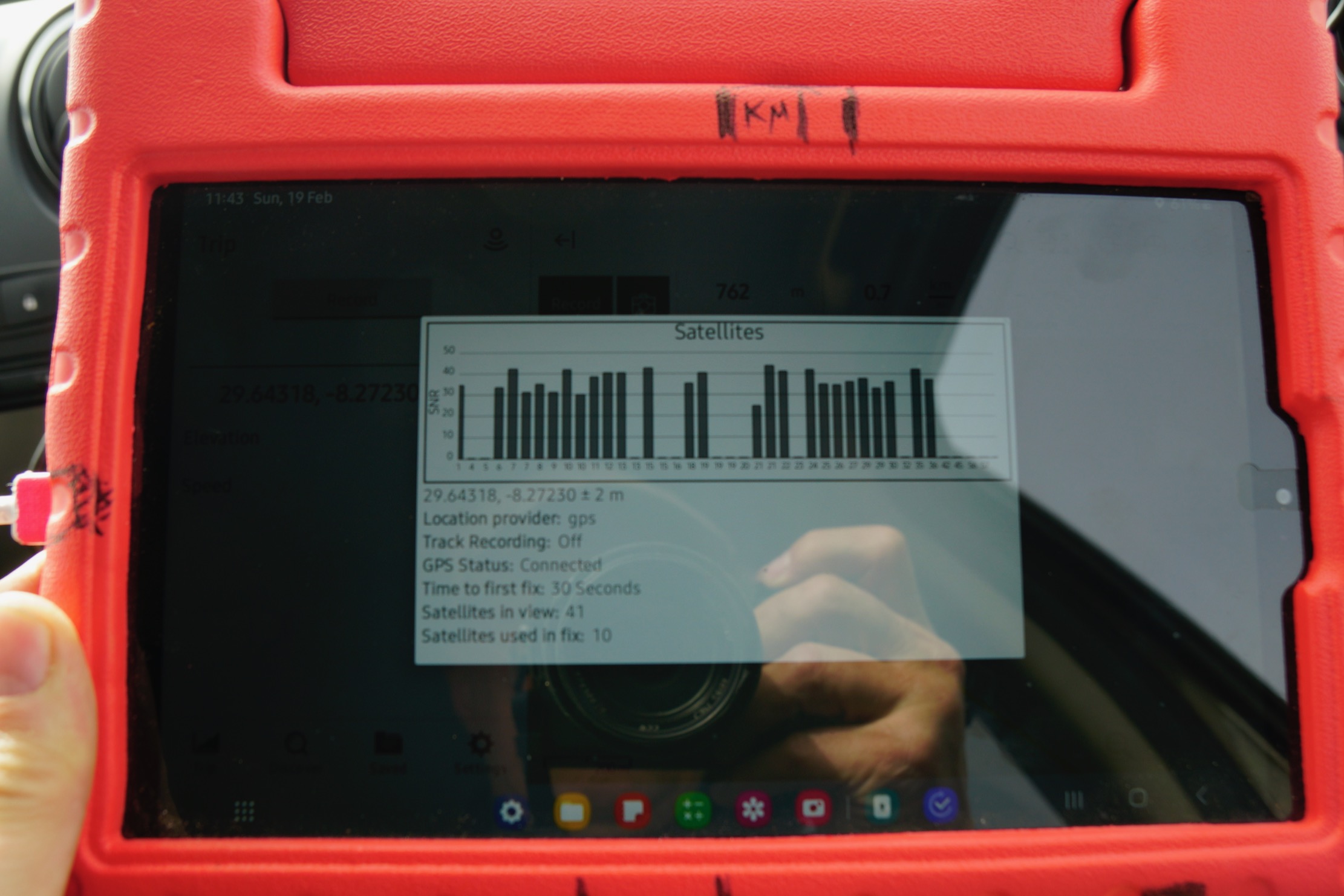
Recording a track is dead easy on Gaia: hit the prominent ‘Record’ tab. The Garmin’s track recording is another page so is more easily overlooked when you’re trying to get your shit together at the start of a new route. But in the Gaia app saving a waypoint for your exact current location requires pressing and holding the position arrow on the map; hard to do accurately with fat fingers and the car shaking about. On Montana you back up to Home Page, hit Mark Waypoint for where you are that second, then Save (and jot down the number). Map > Home > Mark > Save and back to map in just 4 taps.
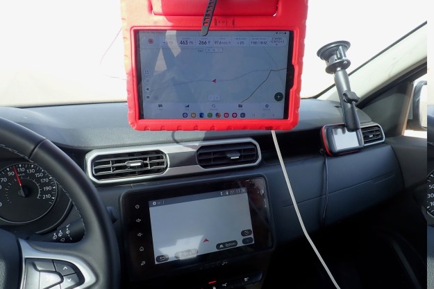
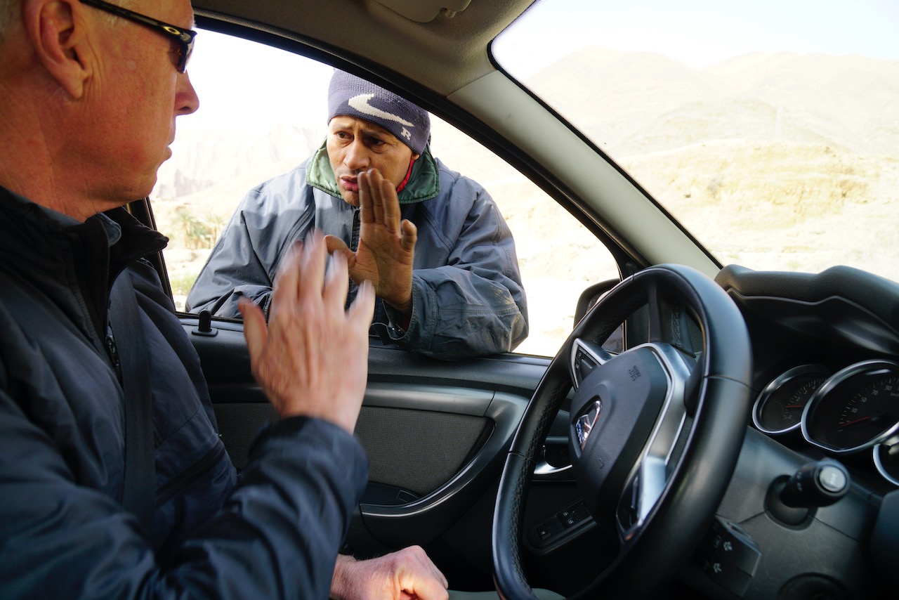
Gaia waypoints are annoyingly recorded as long (but I suppose unique) date and precise time, though I suppose they’ll all display chronologically somewhere. Also, I found a Montana suckered to the windscreen was easier to grab and tap than the propped up Samsung. I know with Duncan at times I had to stop driving so he could save and jot down. This can break the flow but is the age-old problem in doing this in a jolting fourbie. (Yes, I have thought of voice recordings).
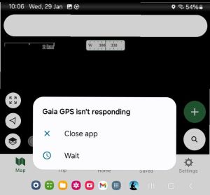
Another drag on the Gaia is having to re-centre your location and the full screen map every time you do an input. And I wish the map scale bottom left could be made less opaque, or not opaque at all; same with the zoom buttons, though of course you can spread two fingers to do the same. Occasionally Gaia freezes and needs a restart, but my Montana freezes often and need the battery removing.
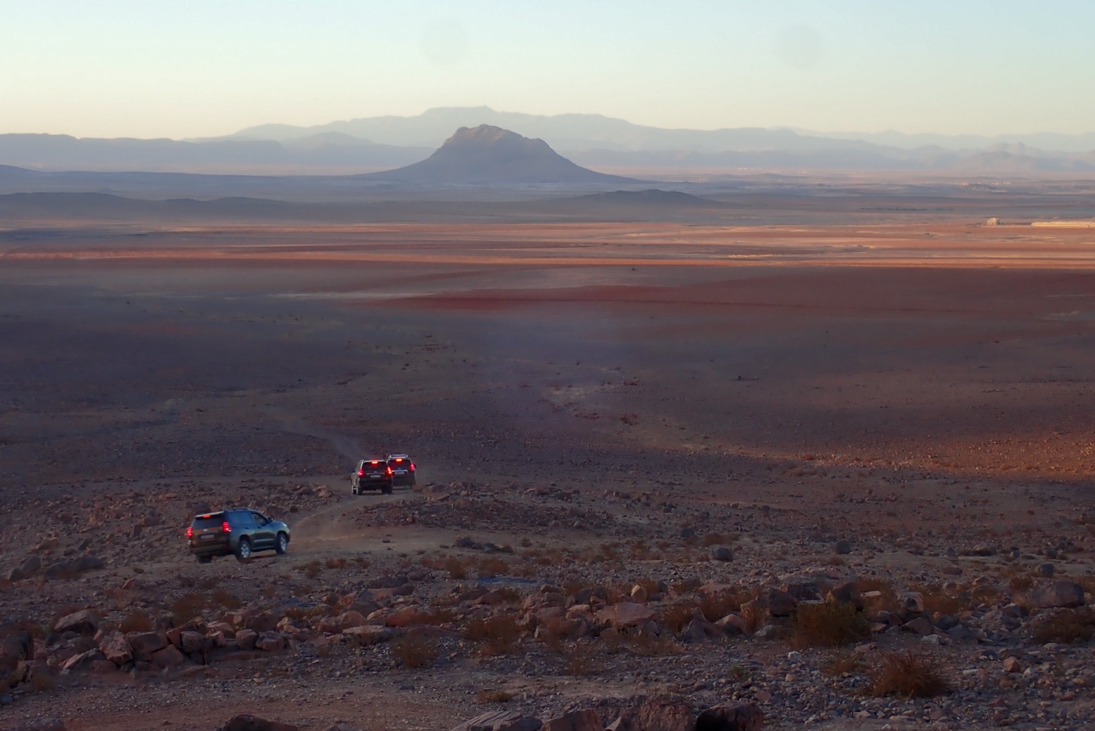
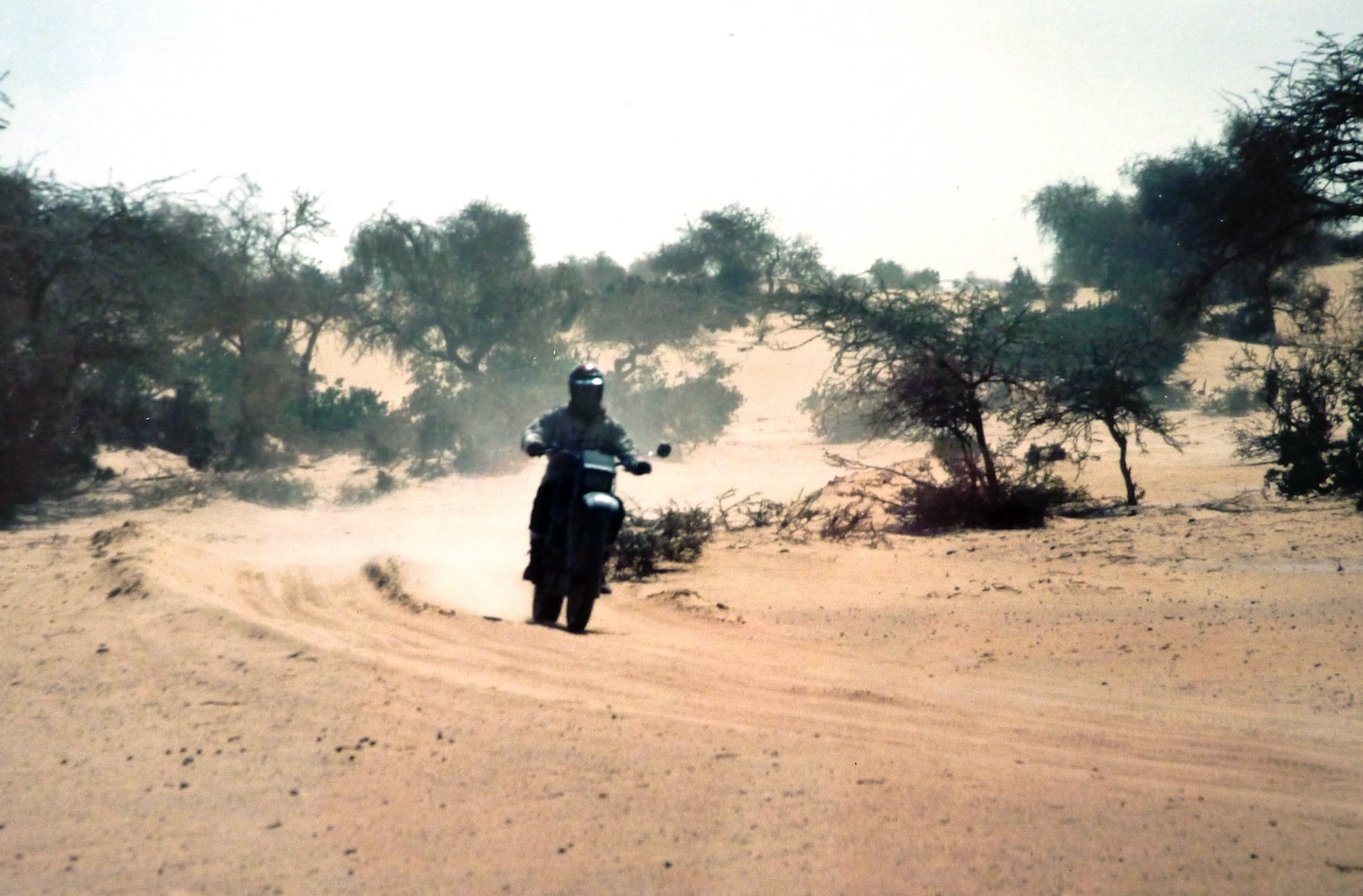
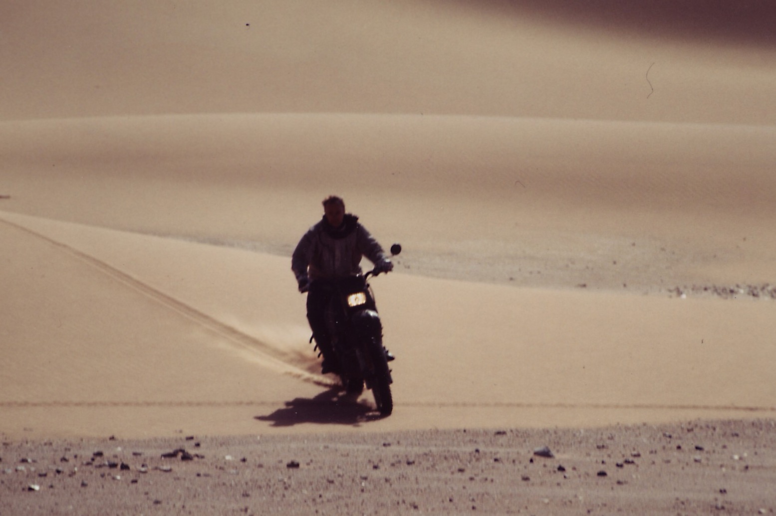
Later in 2023 I did two more scouting trips in 4x4s and found the Gaia detailed map on big tablet screen better for following, but Garmin 650 better for easy and reliable recording with minimal tapping faff. I recorded data with my trusty Montana, as I did on several moto trips, when also scouting tracks.
It took me a while to fully get the key differences between these two devices (see red/green comparisons above). One just does nav (plus a crumby camera), the other is an internetable phablet that does everything a smartphone can do, but nearly as easily as a laptop. Feet up, when the navigating is over, a phablet can come into its own. And once you’re back on wifi or 4G your recorded and saved nav data shoots off to you Gaia cloud automatically. Then catch up on the news, other emails, twitter off your photos or watch a movie.
Duncan said initially he took both Montana and Gaia iPad on his nav jobs, now he relies on the iPad. I suppose alone and travelling at my own pace, I could rely just on the tablet too, though on a bike it would need a secure or shake-proof mount somewhere.
Update Algeria 2025 with Tablet and Gaia
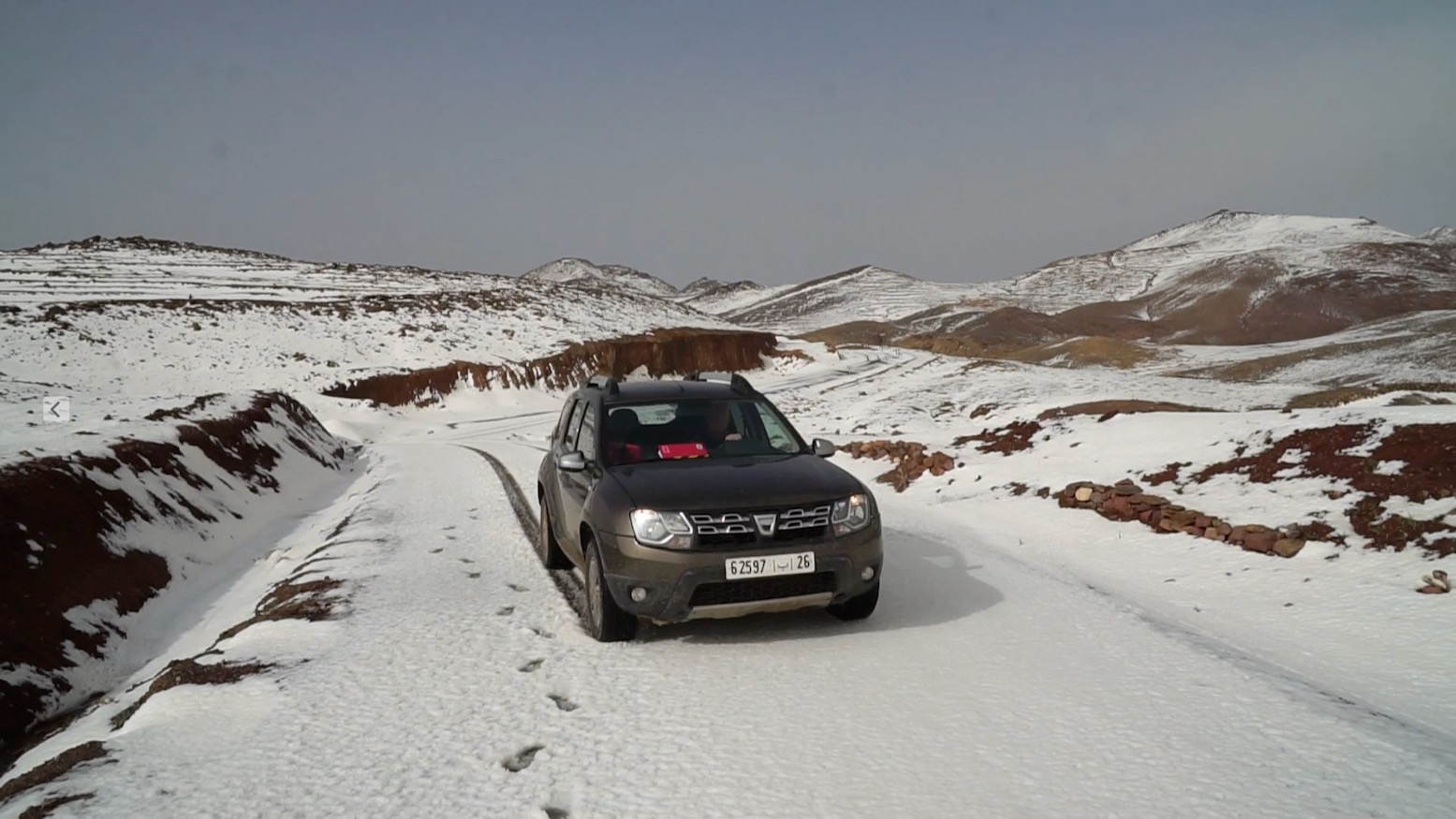
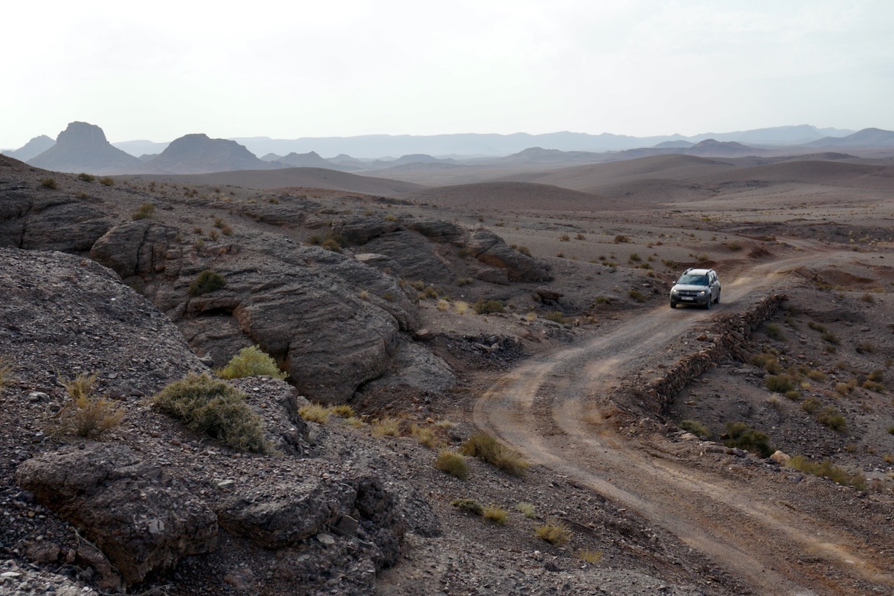
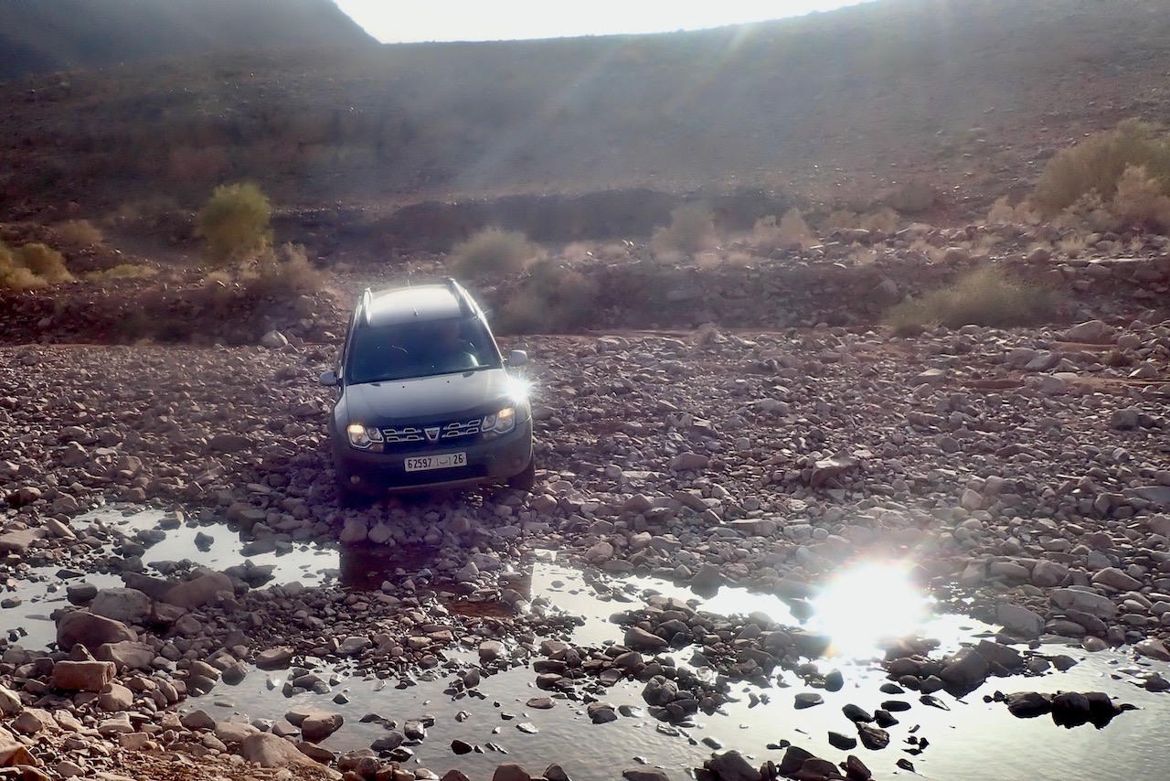
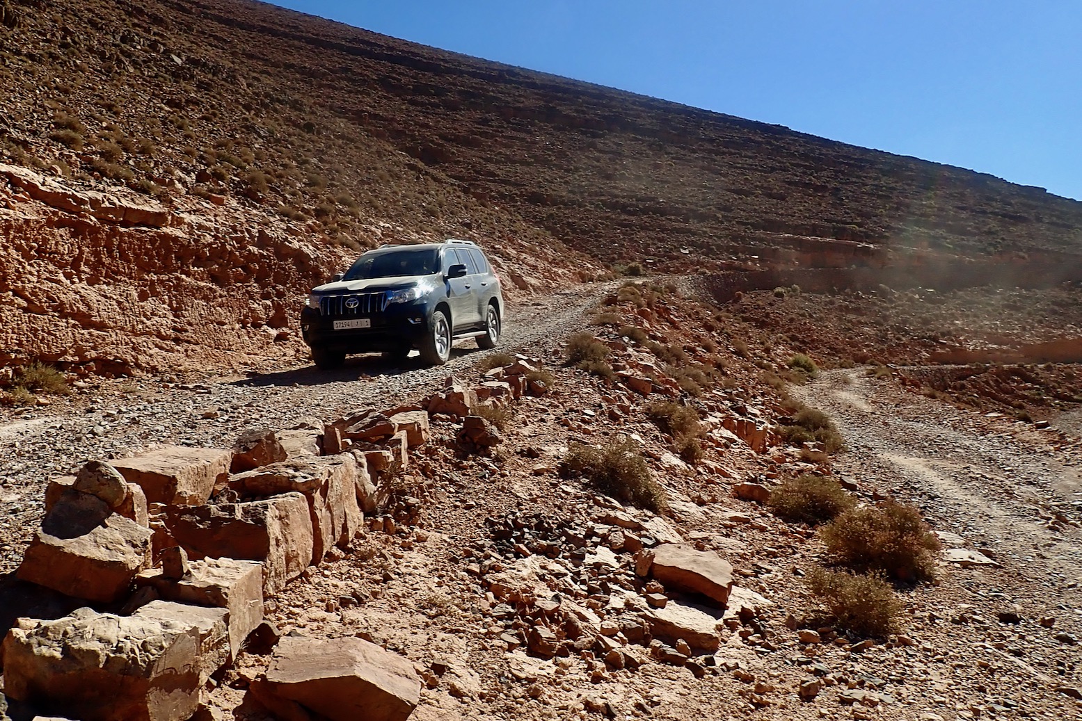
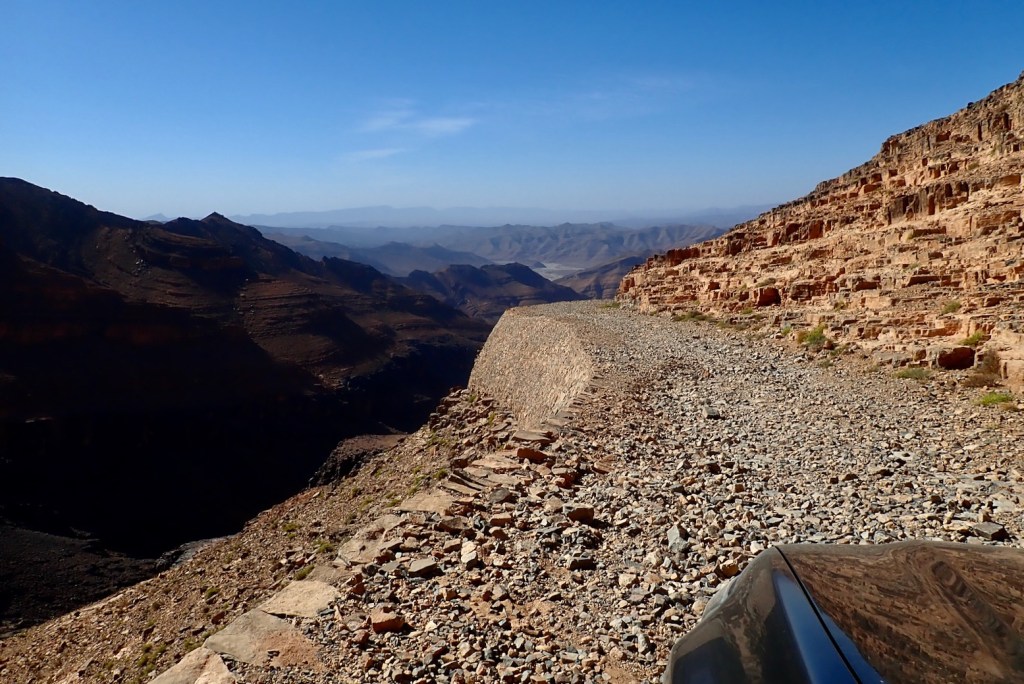
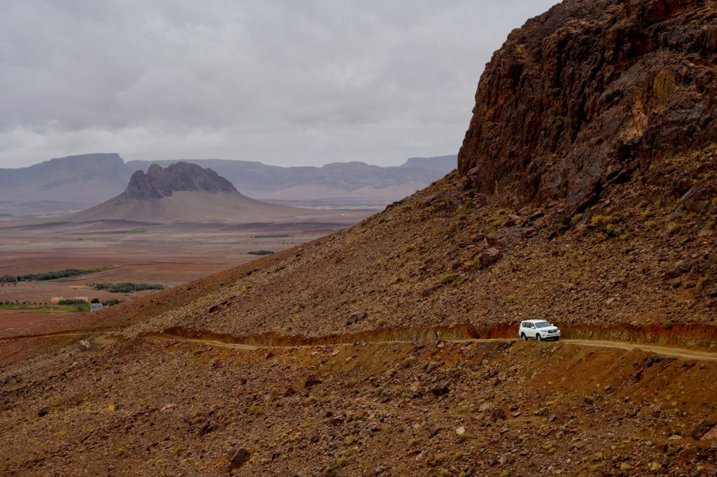
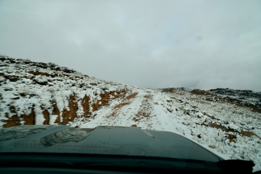
On this trip I was passengering in a car, following roads mostly, but doing some off road and off piste nav to new places.
As always, loading and labelling your data beforehand (below) saves teeth gnashing in the field. I renewed my sub and downloaded huge slabs of Topo (1.25GB) and low-res Sat (250mb) mapping for offline use (below).
I also borrowed an InReach2 to display our position for those back home
Gaia/tablet conclusions
• Can take 20 mins to work properly some mornings (not just getting a fix). A combo of tablet CPU and huge offline maps – or is it just Gaia? I suspect the latter
• Stops track recording out of the blue – could be me but annoying
• Great to use offline sat mapping – and the Topo map layer is pretty good for Algeria
• Imported track gets broken up into several segments. Annoying
• Next time will use a proper windscreen mount
• Would a Garmin 710i be the answer? Sat tracking/messaging included (so InReach not needed), plus a bit bigger and much brighter screen than 650 but still with good battery life? Only £700
For the moment the Montana is a reliable recorder, the Gaia tablet is much nicer to nav off.

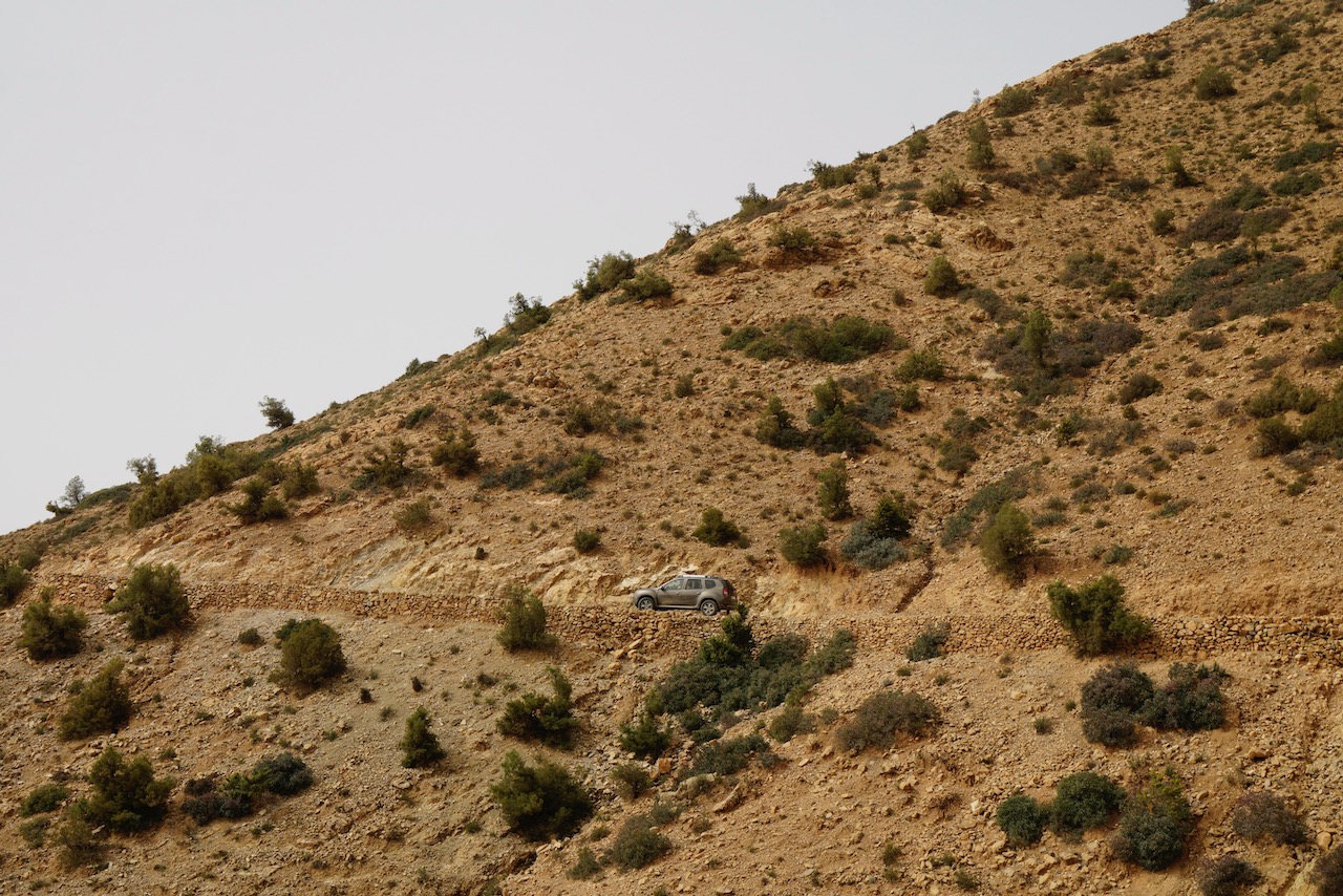
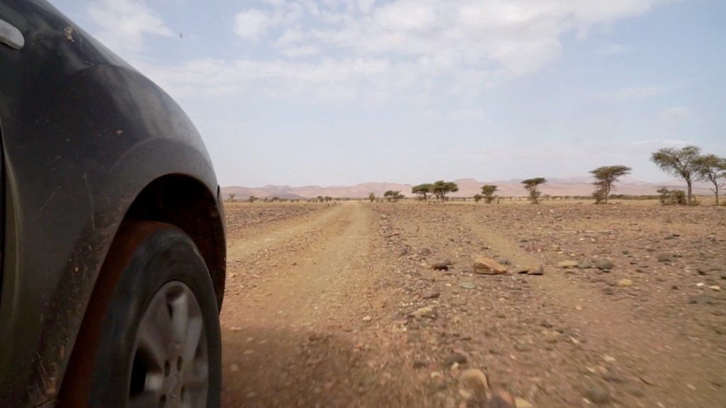
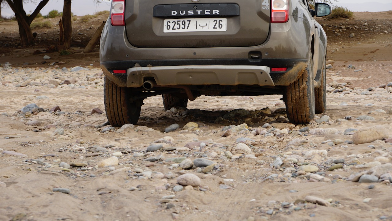
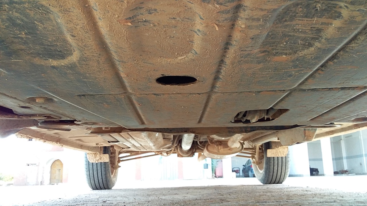
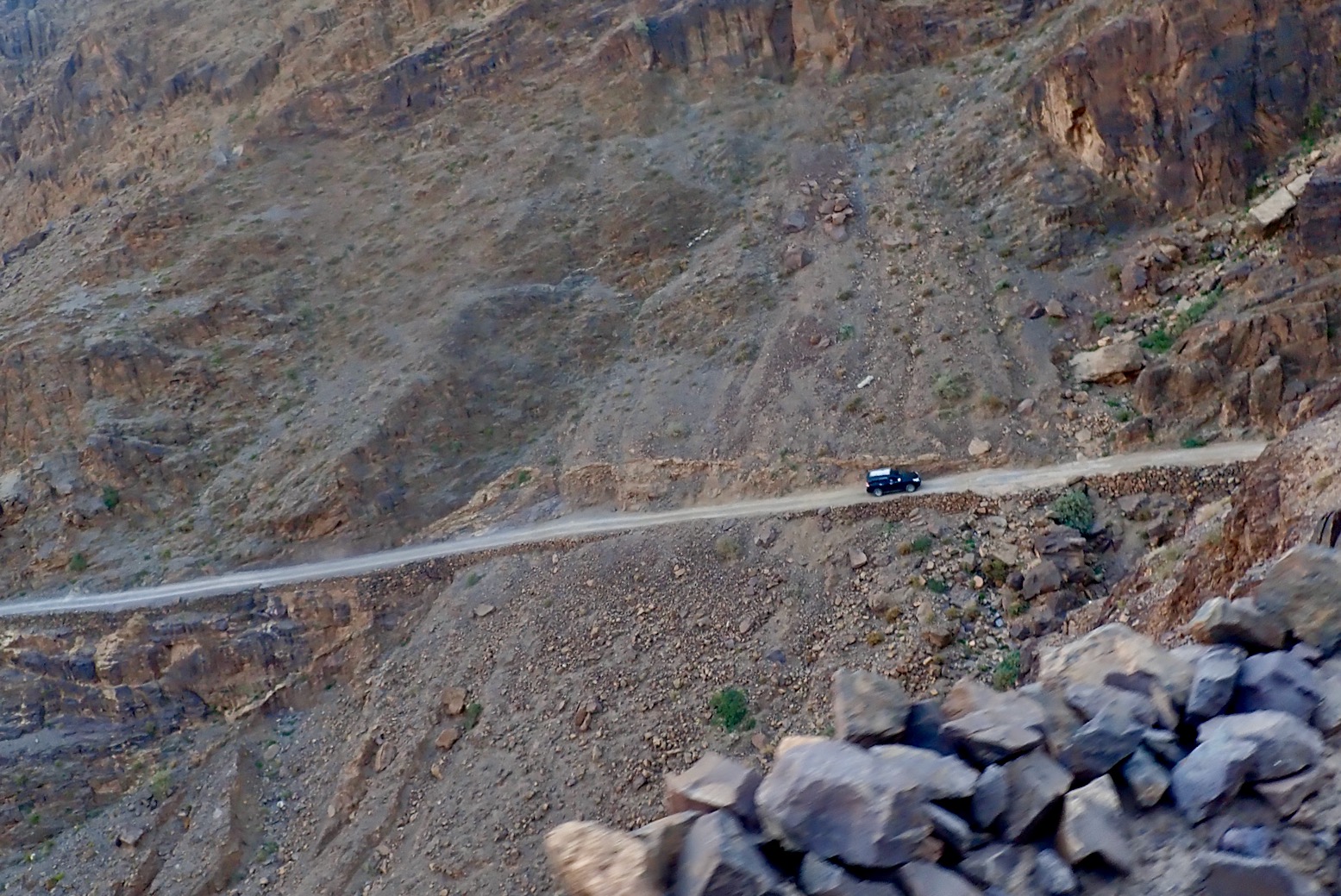
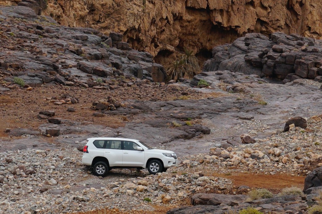
 • You can feel how lightness helps
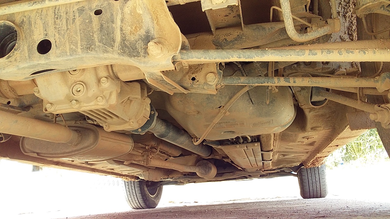
 • Underbody clearance is lower than it looks over central track humps