Author Archives: Chris S

I is for IGN: the making of Sahara Maps

Part of the Sahara A to Z series

See also:
Old Saharan Trade Routes Map
โ€˜Vโ€™ is for Vintage Sahara Maps
Sahara โ€“ blanks on the map
Maps of the Sahara

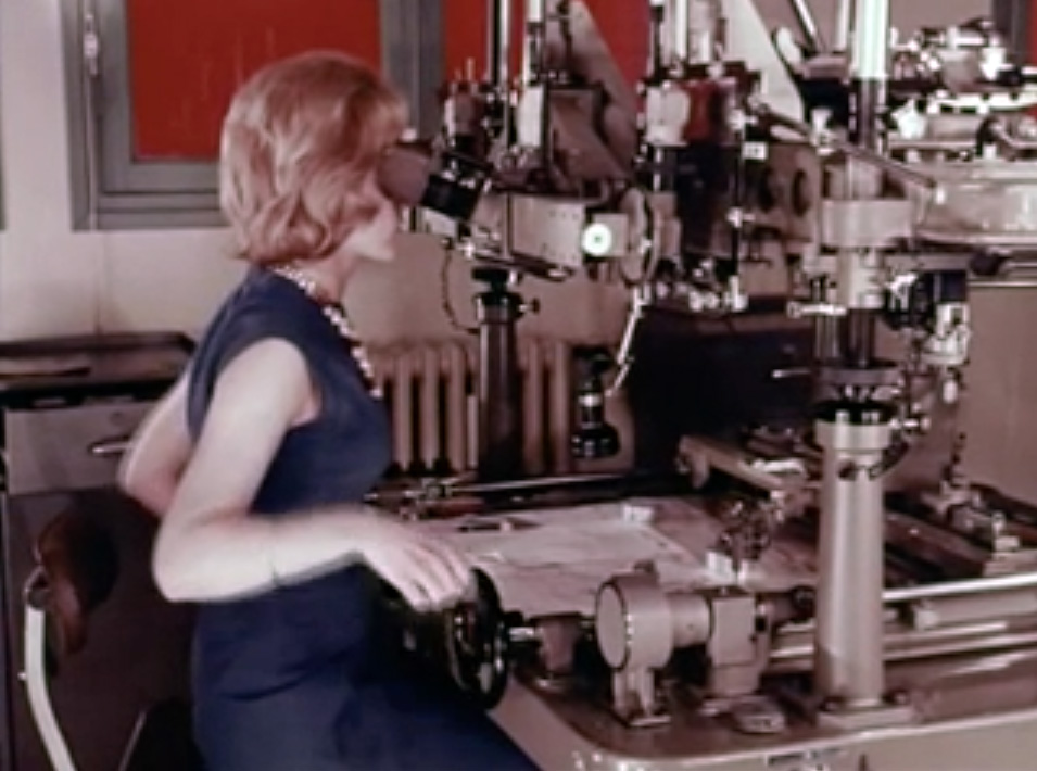
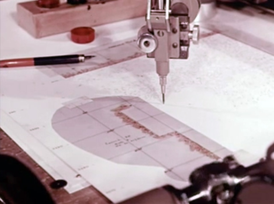
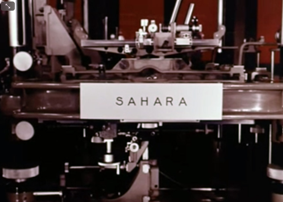
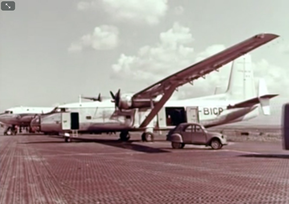
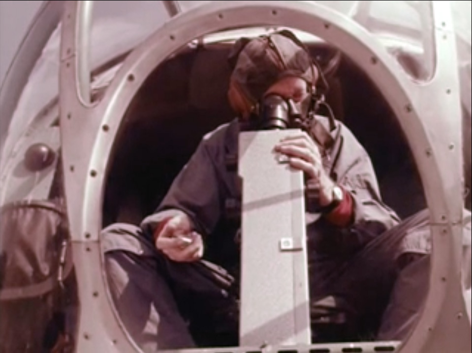
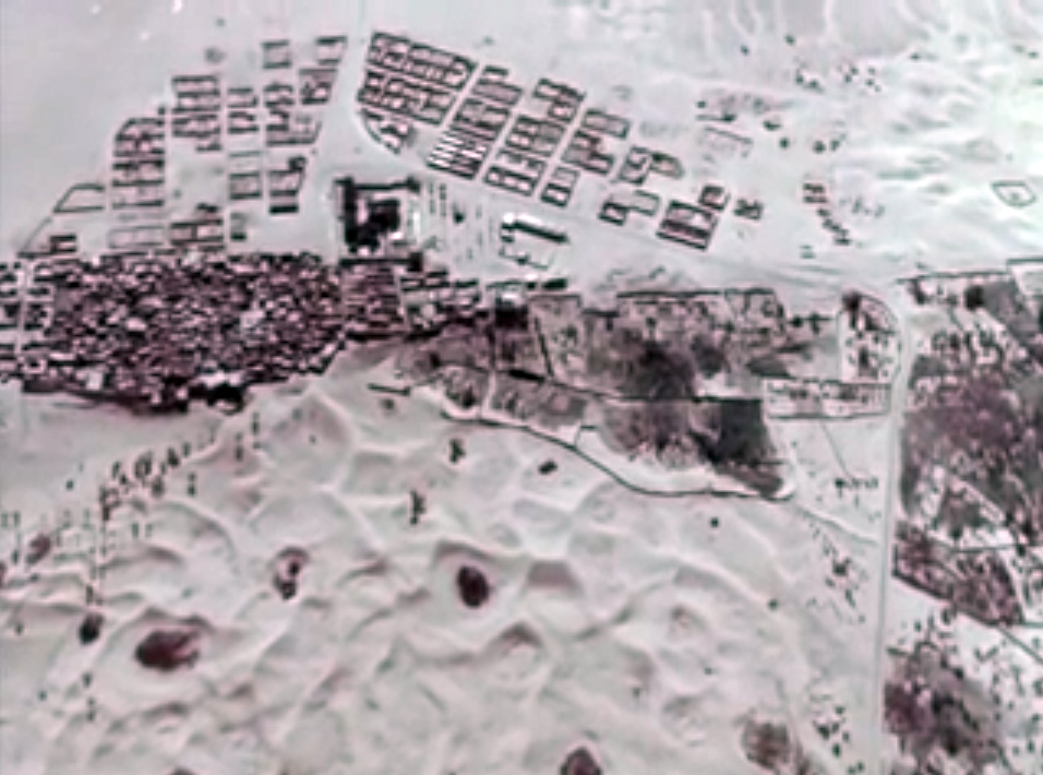
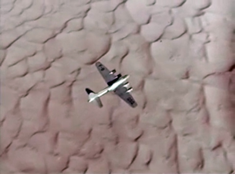
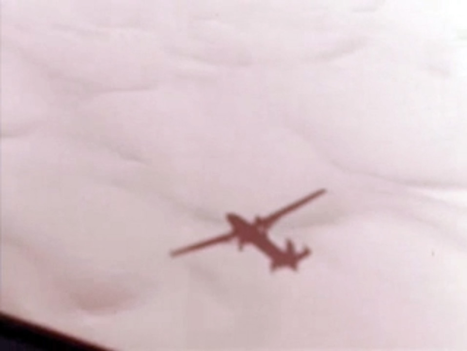
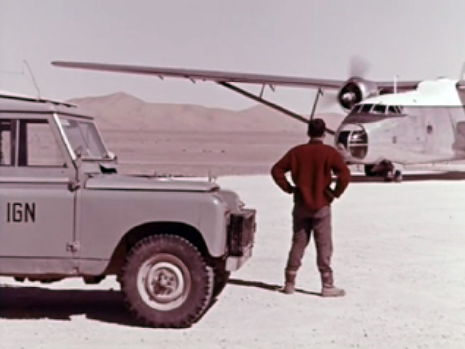
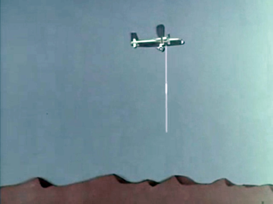
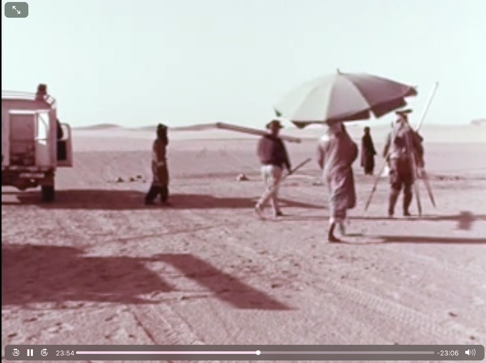
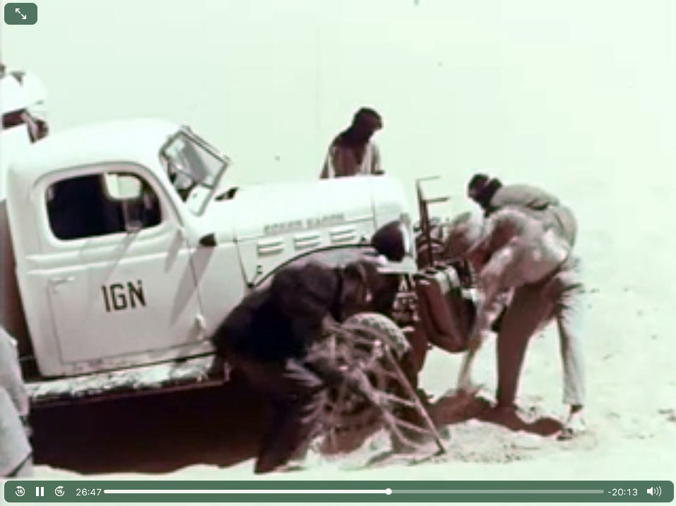
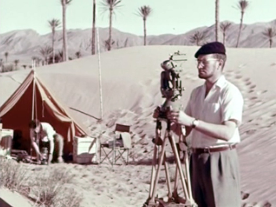
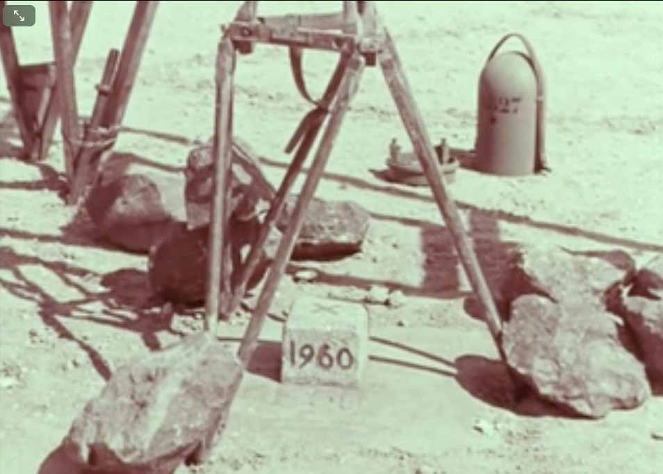
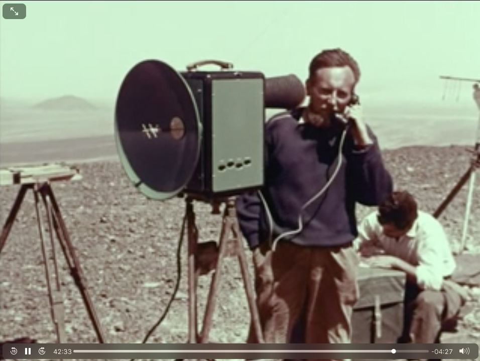
Here a fascinating 1960s vintage film (45 mins; French) on the work it took IGN to produce their brilliant 1:200,000 scale Sahara maps from thousands of aerial photos, sonar readings and laborious ground surveys. Direct link to video.

Y is for: Land Yachting, Sahara, 1967

Part of the Sahara A to Z series
See also: 2WD trans-Saharan bicycle

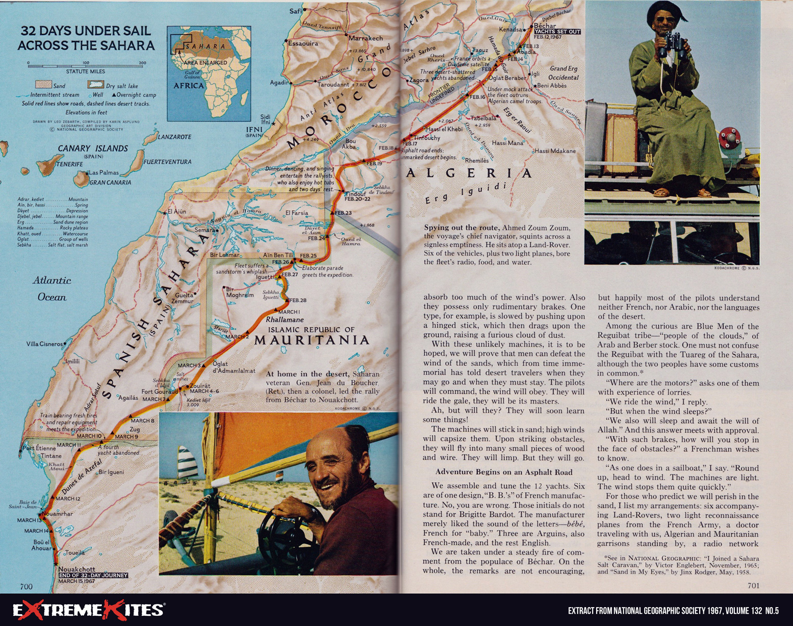
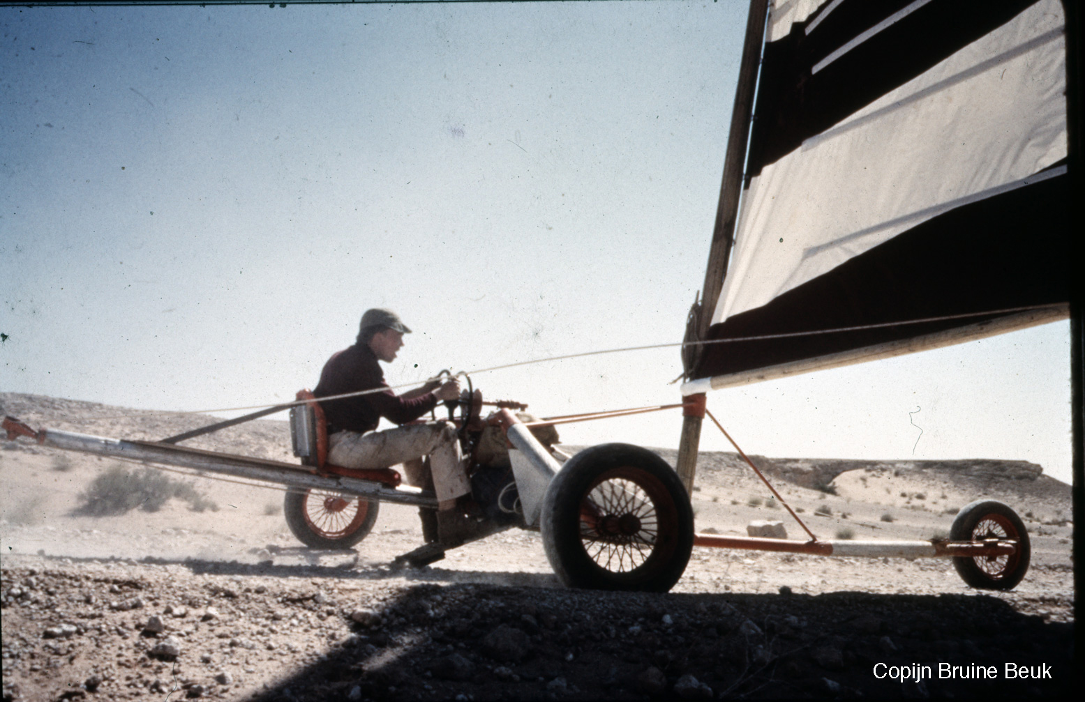
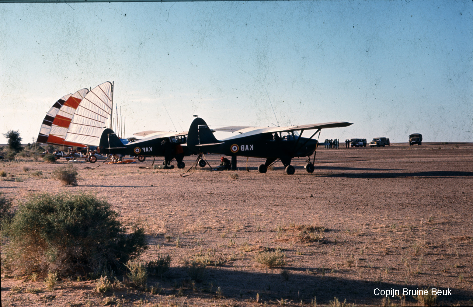
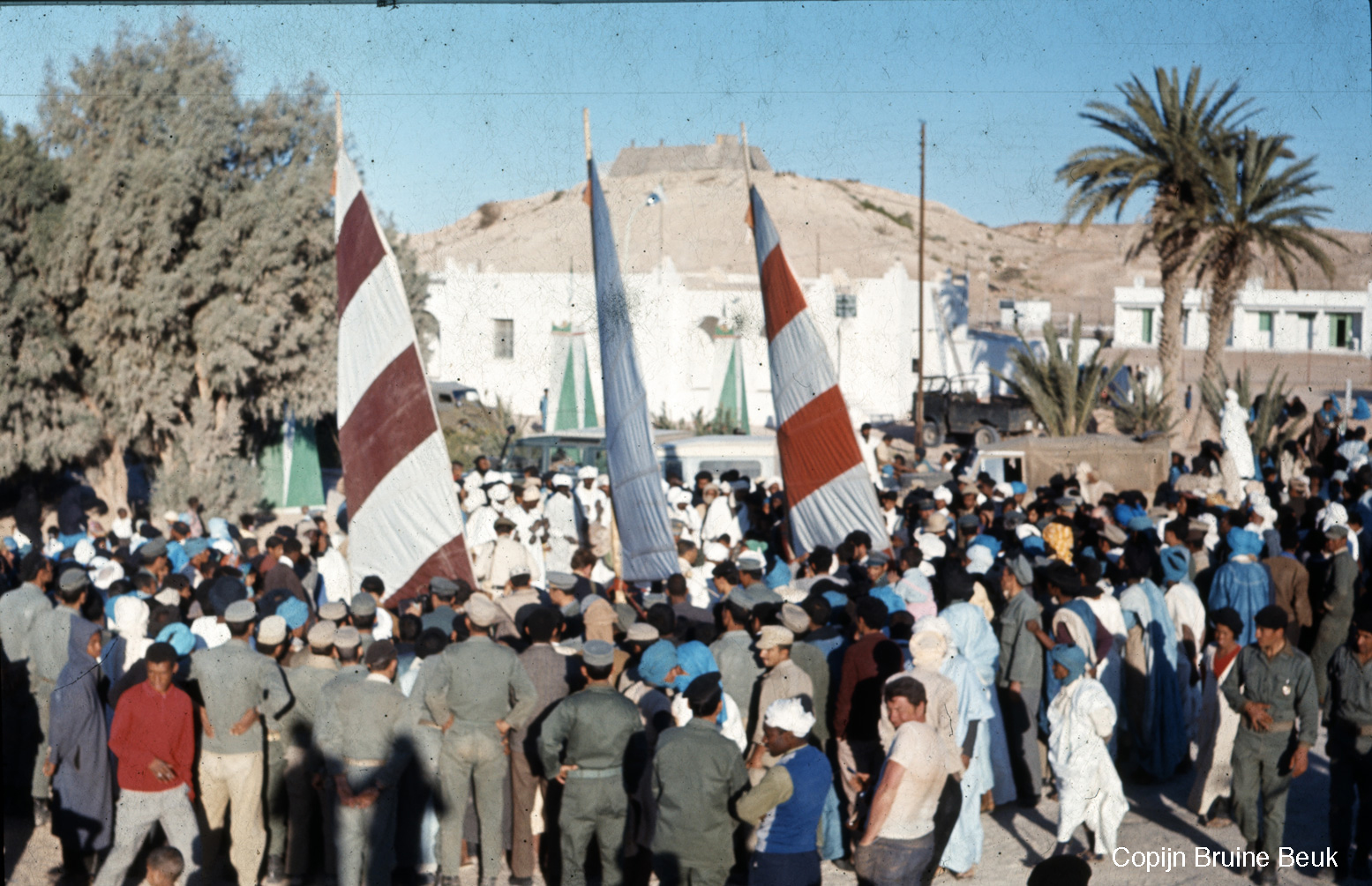
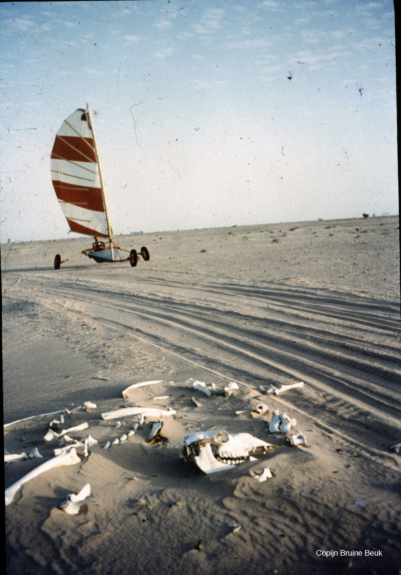
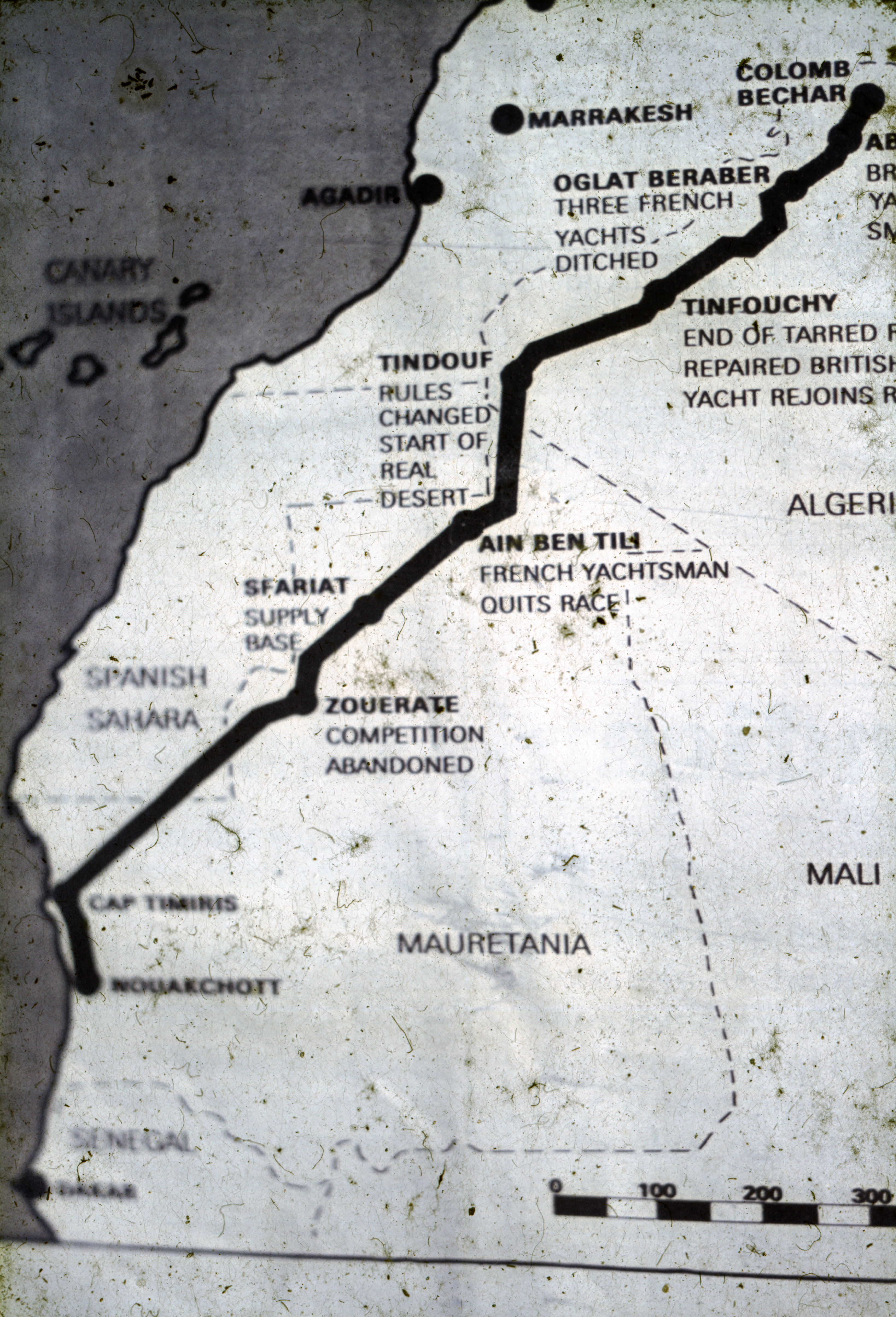
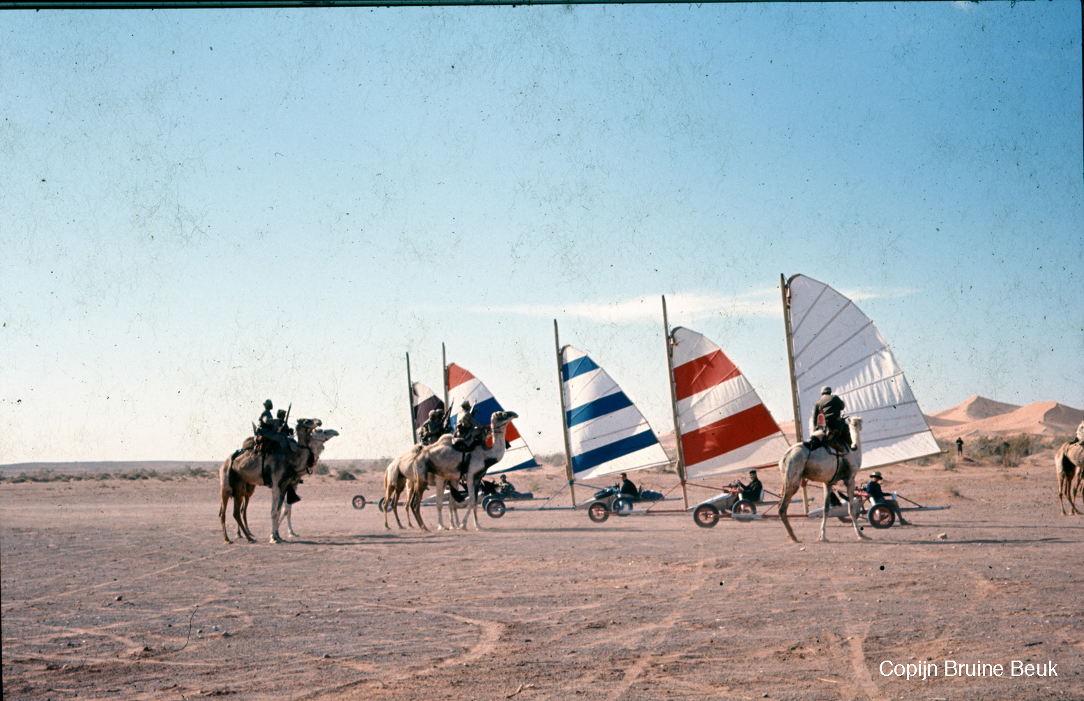
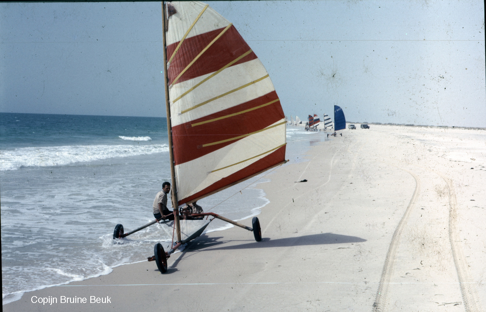
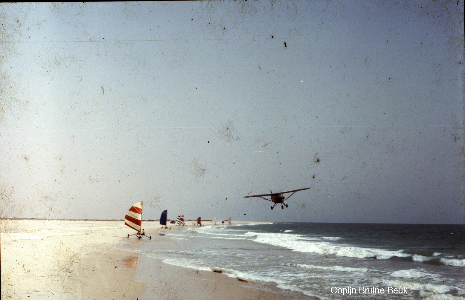
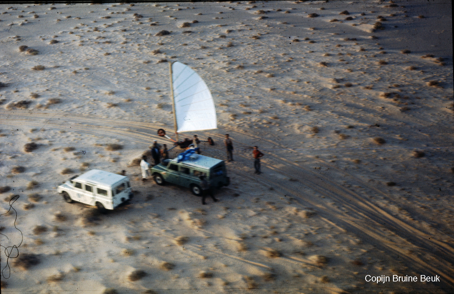
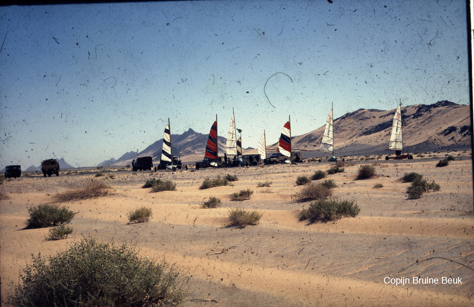
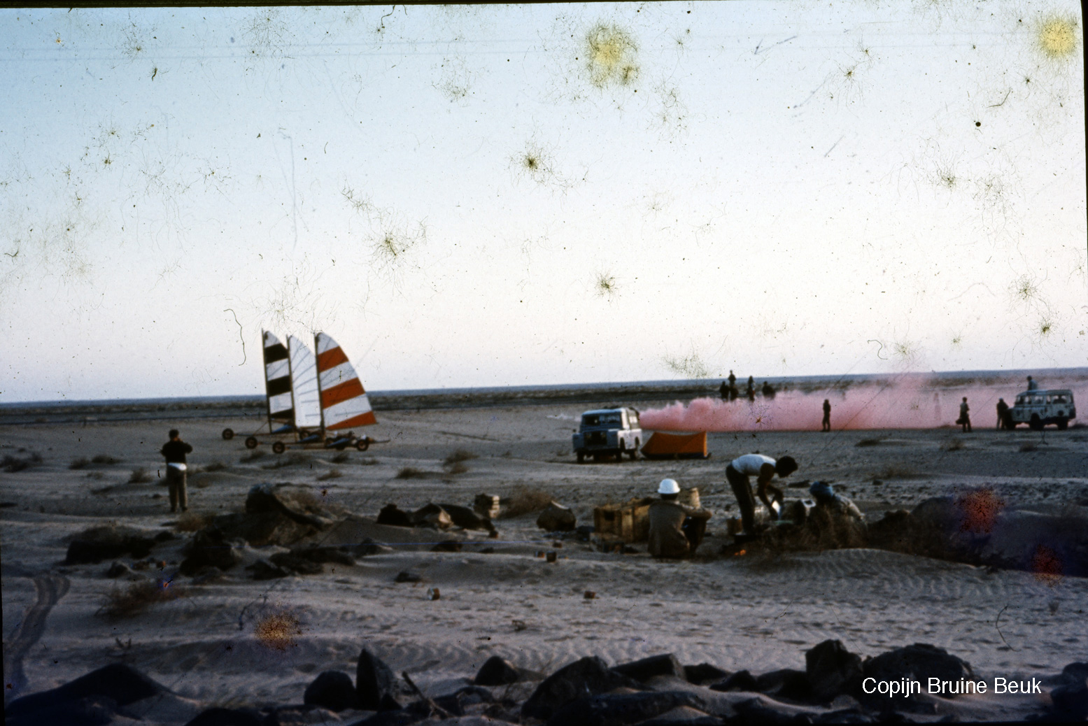
Organised by French ex-army Saharienne, Jean de Boucher, in February 1967 twelve land yachts with pilots from half-a-dozen countries set off on a 2500-km rally from Colomb Bechar (then linked by rail from Oujda on the Mediterranean) to Nouakchott on the Atlantic coast, at times following today’s recently reopened Tindouf Route via Algeria. It seems the race element of the rally was abandoned after some 2000km in Zouerat following several DNFs, but some carried on down the coast, cutting across what was then Spanish Sahara (‘PFZ’), on to the beach at Nouamghar and down the beach to Nouakchott. At this time most of Mauritania’s population still lived in the desert as nomads. The rally was supported by a couple Land-Rovers, small planes and surviving French military garrisons with which General de Boucher presumably had good connections.

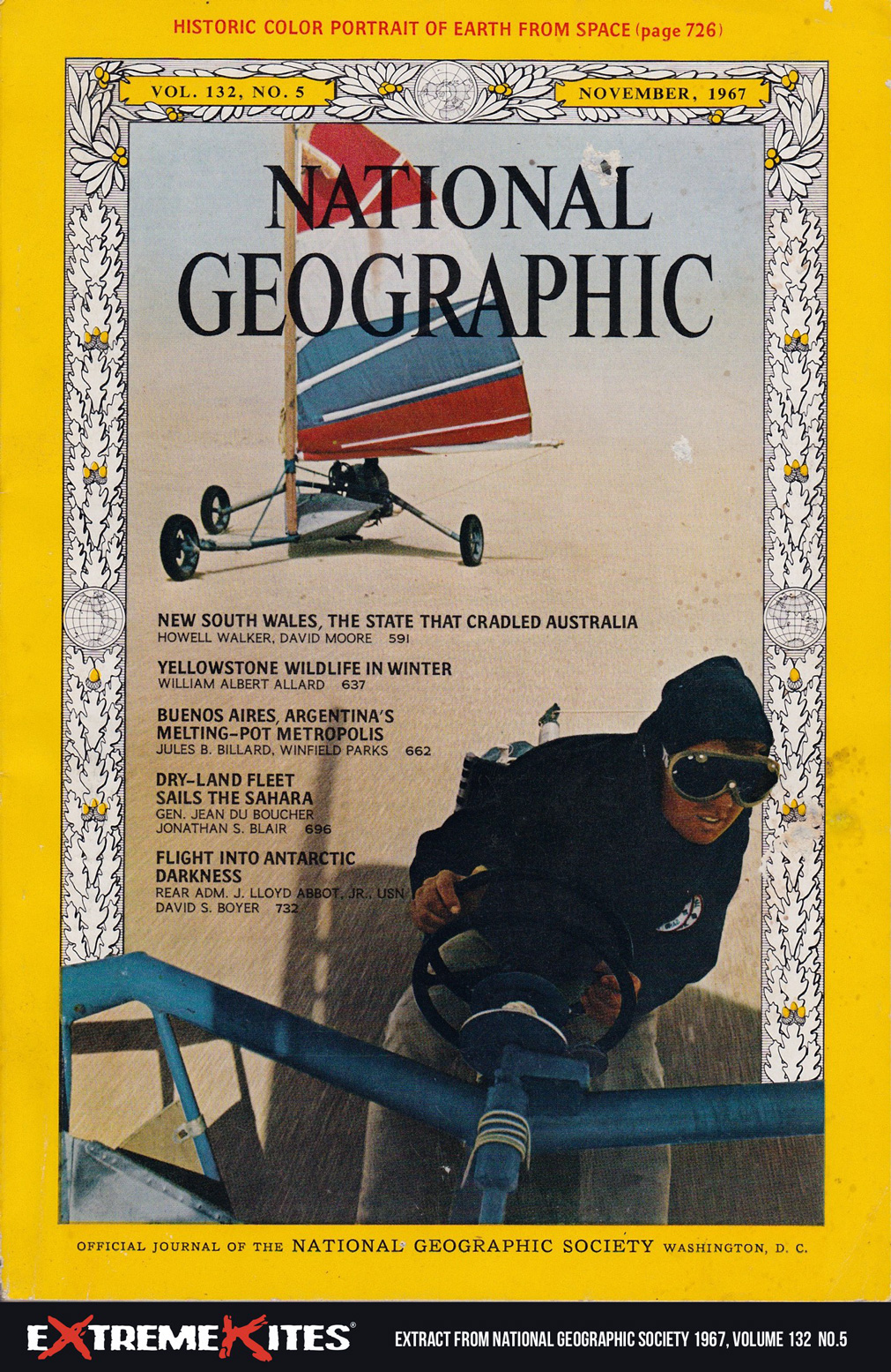
NG-sailsahara-cover
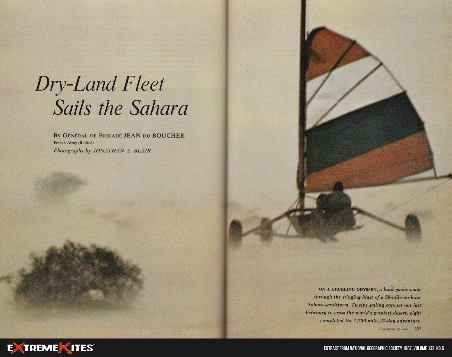
NG-sailsaharaDPS

The adventure featured in the November 1967 issue of National Geographic magazine (left, right, below). A couple of images are used here; read the full 30-page article scanned on the Extreme Kites website.
There are more reminiscences here by American competitor, Larry P featured on the magazine’s cover.

NG-sailsahara-map
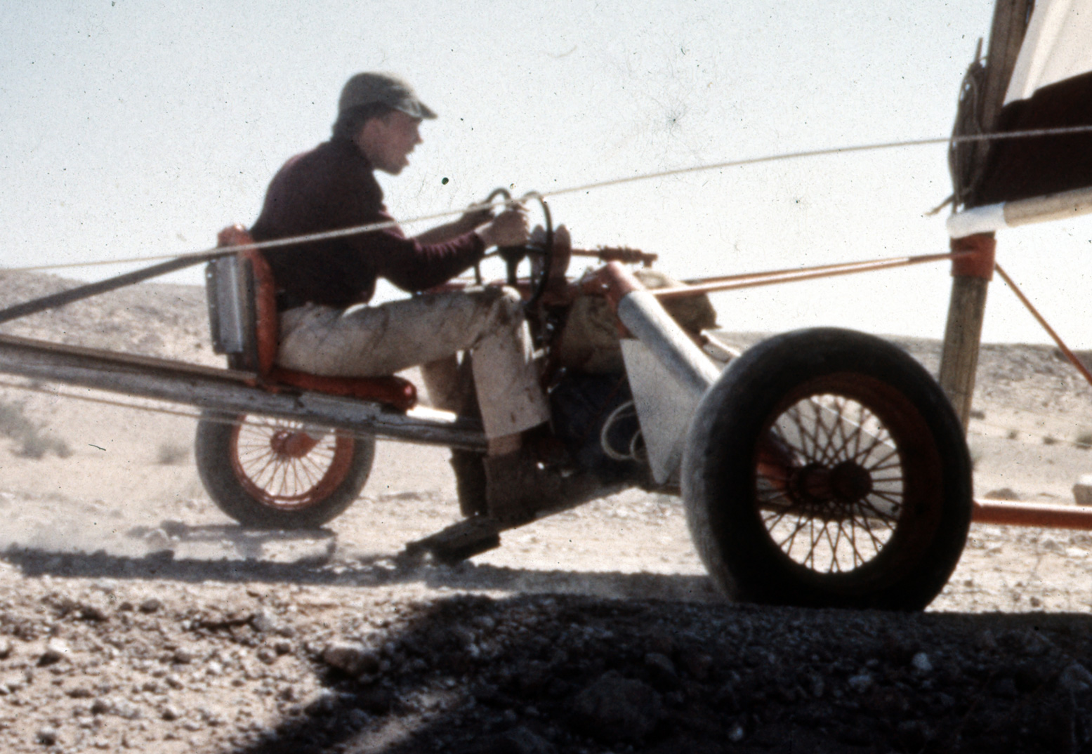
cbb-yacht

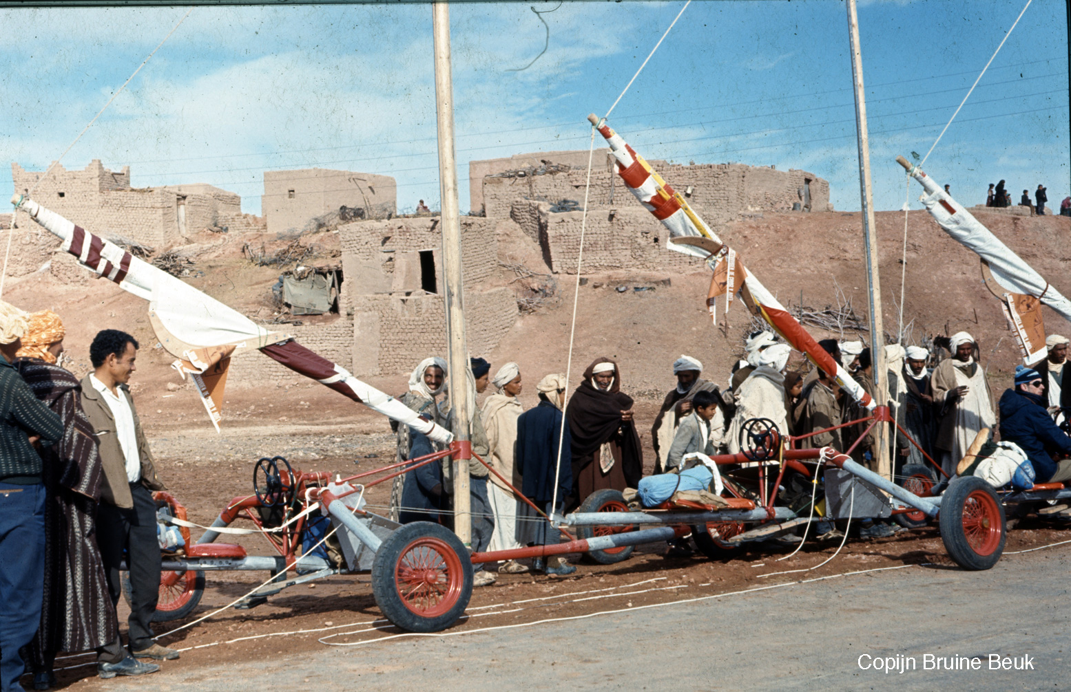
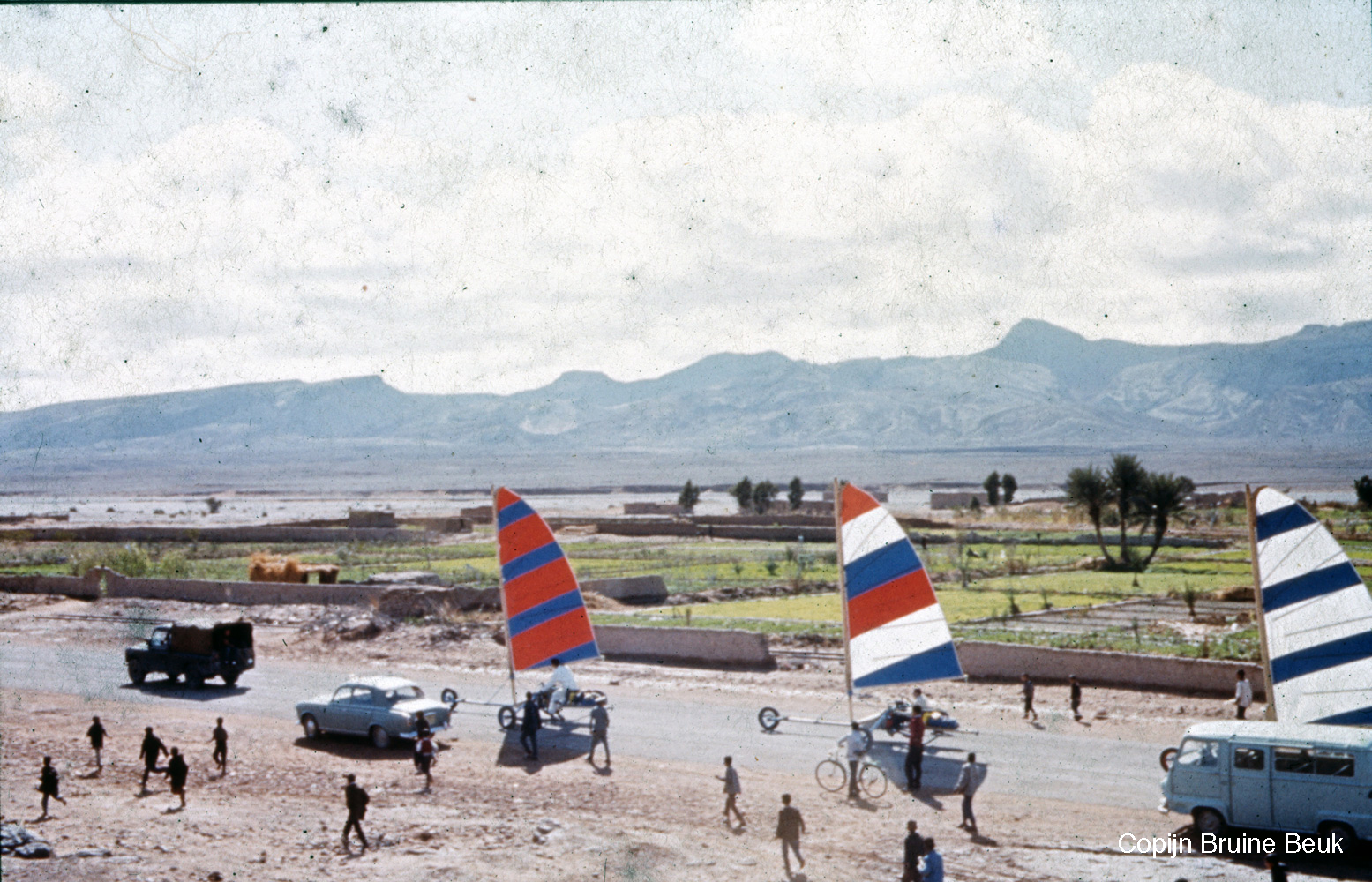
Thanks to Dutch participant, Copijn Bruine Beuk for turning me on to this little-known story and sharing his own pictures of the event (below). Besides hundreds of punctures, as the article recalls, early on Copijn had a close shave with an overhead electricity wire โ€“ luckily it wasn’t live. The same happened to a few others who ended up with snapped masts.
Once it gets going, a land yacht can hit 60mph or more, but back then brakes added up to little more than a hinged footboard you pressed into the dirt (left), like pressing your feet on the ground to slow an out-of-control pushbike. So you can see why half the field DNF’d. Other hazards included side gusts blowing a land yacht over โ€“ February-March were chosen as the time of the strongest northeasterlies.
Note also the twin steering wheels: one to steer the front wheel and the other to adjust the sail’s trim: pressing on the footbrake for all your worth, that’s quite a lot to think about when hurtling towards a steep oued bank or into a small dune field.
Makes desert biking look positively benign!

N is for: Not Riding to Taghia

Part of an Sahara A to Z series
alex-free-solo

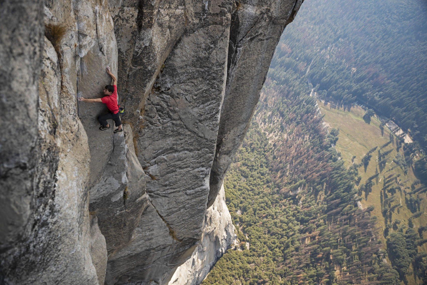
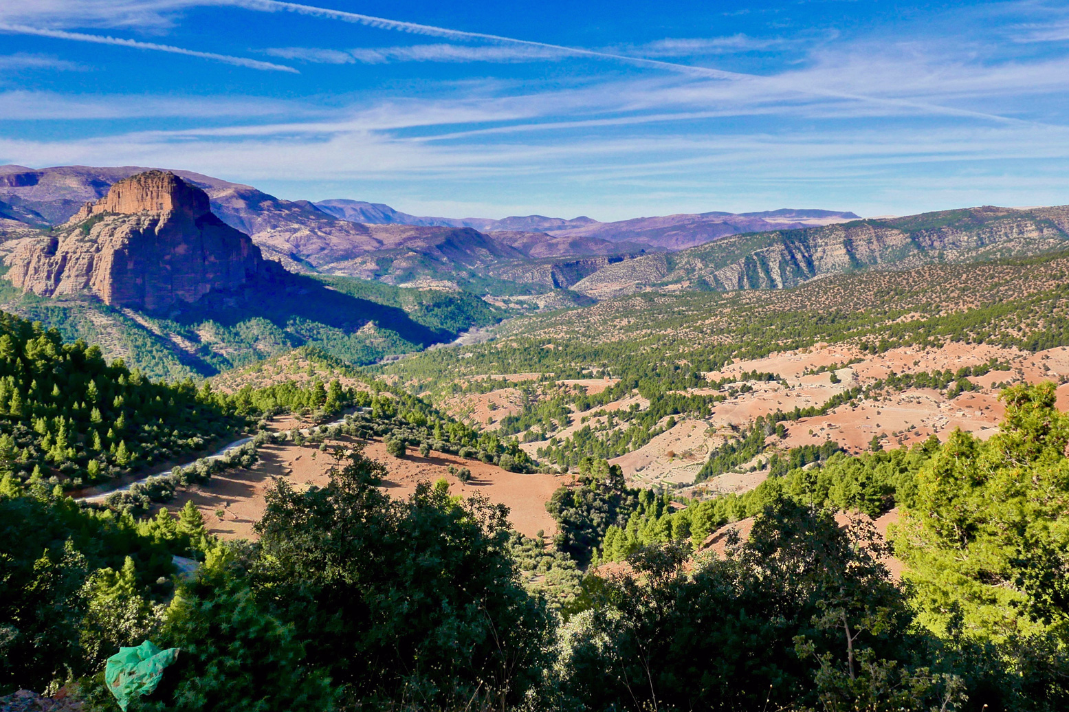
โ€˜Free Soloโ€™ is a documentary covering Alex Honnold’s mind-boggling, rope-free ascent of El Capitan in Yosemite, California in 2017 (left). If youโ€™ve seen it you may recall that, among other places, Honnold practised on a hidden cirque of cliffs surrounding the scattered hamlet of Taghia, buried about as deep in Moroccoโ€™s High Atlas as you can get. A couple of rudimentary gites cater for visitors but, even among Moroccan know-alls, unless youโ€™re a rock climber youโ€™ll have never heard of Taghia. The only way in is a four-mile mule trek through a canyon from the valley head at the equally obscure outpost of Zuweiat Ahansal, an hour or twoโ€™s ride south of Rocher de Mastfrane, better known as the โ€™Cathedralโ€™ (below).

cathedral.jpg

I rocked up at Zuweiat one lunchtime just as a group of young American climbers were spilling out of a taxi, and continued over the bridge to the edge of the old town. I pulled over for a snack and, unsure of the way and not wanting to blunder on, asked a passing local whether it was possible to ride a bike to Taghia and if yes, which way?

โ€˜Oh noโ€™ said the old man. โ€˜You can only get there on foot.โ€™

I finished my snack and thought it over. Back by the bridge, I sought a second opinion from some more worldly looking dudes hanging out outside the post office. They were eyeing up the new, North Face-clad arrivals and one spoke good English.

โ€˜Yes, I saw you pass and was going to say, you canโ€™t ride your moto to Taghia.โ€™

OLYMPUS DIGITAL CAMERA

It turned out heโ€™d worked on the Honnold doc as well as other National Geographic features (below) and, reading his manner with my finely tuned bullshit detector (which they now hand out free at the border), it didnโ€™t sound like the usual bragging. After that, he switched seamlessly into sales mode, offering lodgings and guides.

โ€˜Maybe next timeโ€™, I said. I genuinely did hope to visit the mysterious valley, but the weather forecast was a bit shaky for the next couple of days. I wanted to get out of the mountains, not stuck in them.

zuhana

A year or two earlier a bike-riding climber who’d visited Taghia suggested to me that a small bike (like my Himalayan) could probably reach the cirque following the riverside mule path.

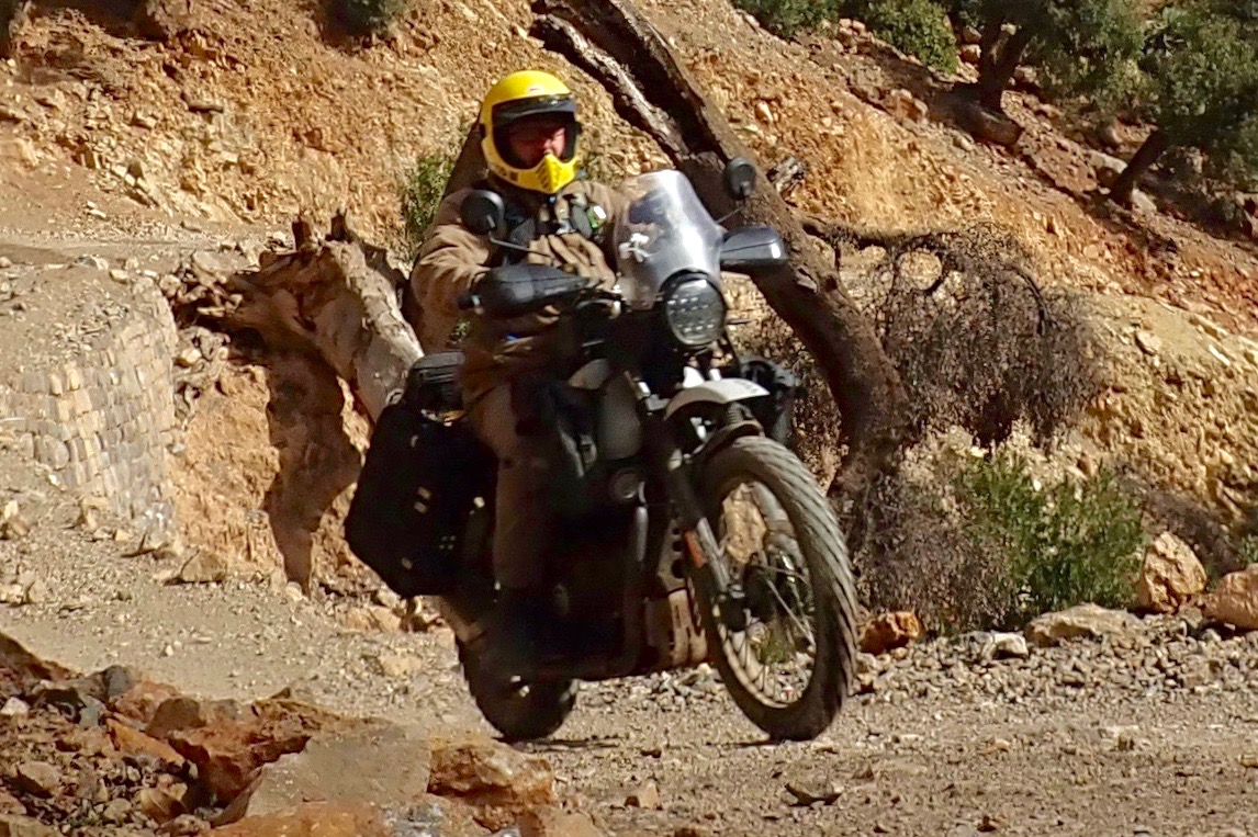
While that may be true, I figured just because I could, did I have to โ€“ or even, should I? The local guide may merely have been protecting his mule-trekking services, but I like the idea of leaving some of the worldโ€™s wild corners unspoiled by the putter of mechanized transport. As I was about to be reminded, there’s plenty to see in Morocco on a bike or in a 4×4, but there are many places in the world which are best reached by less intrusive human-powered transportation. That’s what makes them special.

2024 and I heard they’d finished the track into Taghia. James and I were in the area recce-ing route for the M4 book. A few months later I wrote this in Adventure Rider magazine.


Add a few wraiths of mist plus some digitally enhanced pterodactyls, and the narrow chasm which leads into the Taghia gorge could pass for a scene from Game of Thrones. Burrowed deep in Moroccoโ€™s High Atlas, the isolated Berber hamlet beyond was only accessible by mule. So I was told in 2018 when I tried to reach Taghia on my Himalayan. Now theyโ€™ve carved a motorable track, so we rode down through the defile, crossed and recrossed a stream, and found ourselves in a small cirque or valley head surrounded by sheer, 3000-foot limestone terracotta crags. Iโ€™d not seen a place like this in Morocco. Alex Honnold came here to train in seclusion, prior to soloing Yosemiteโ€™s El Cap for the Free Solo movie. He did so by free climbing all three of Taghiaโ€™s hardest faces โ€“ 6000 feet of big wall soloing โ€“ in a single day. โ€œItโ€™s pretty freakinโ€™ next levelโ€ he observes with characteristic humility in Before Free Solo, Edge of the Unknownโ€™ (on YouTube).

A Good Day in Morocco

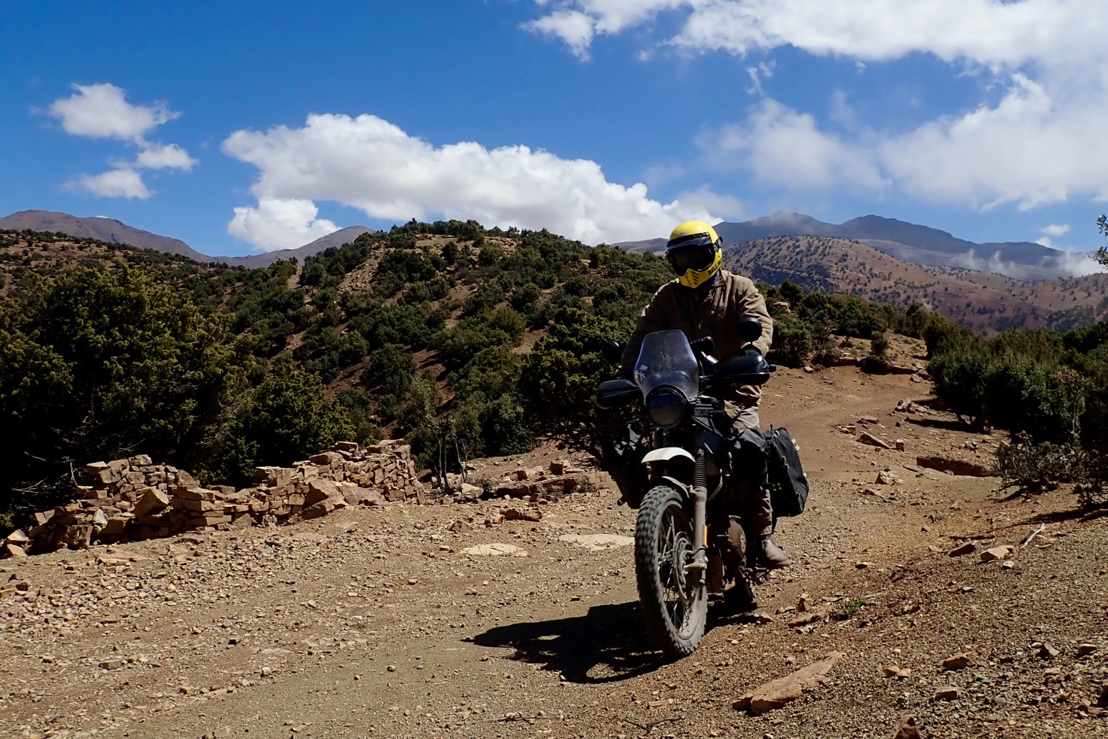
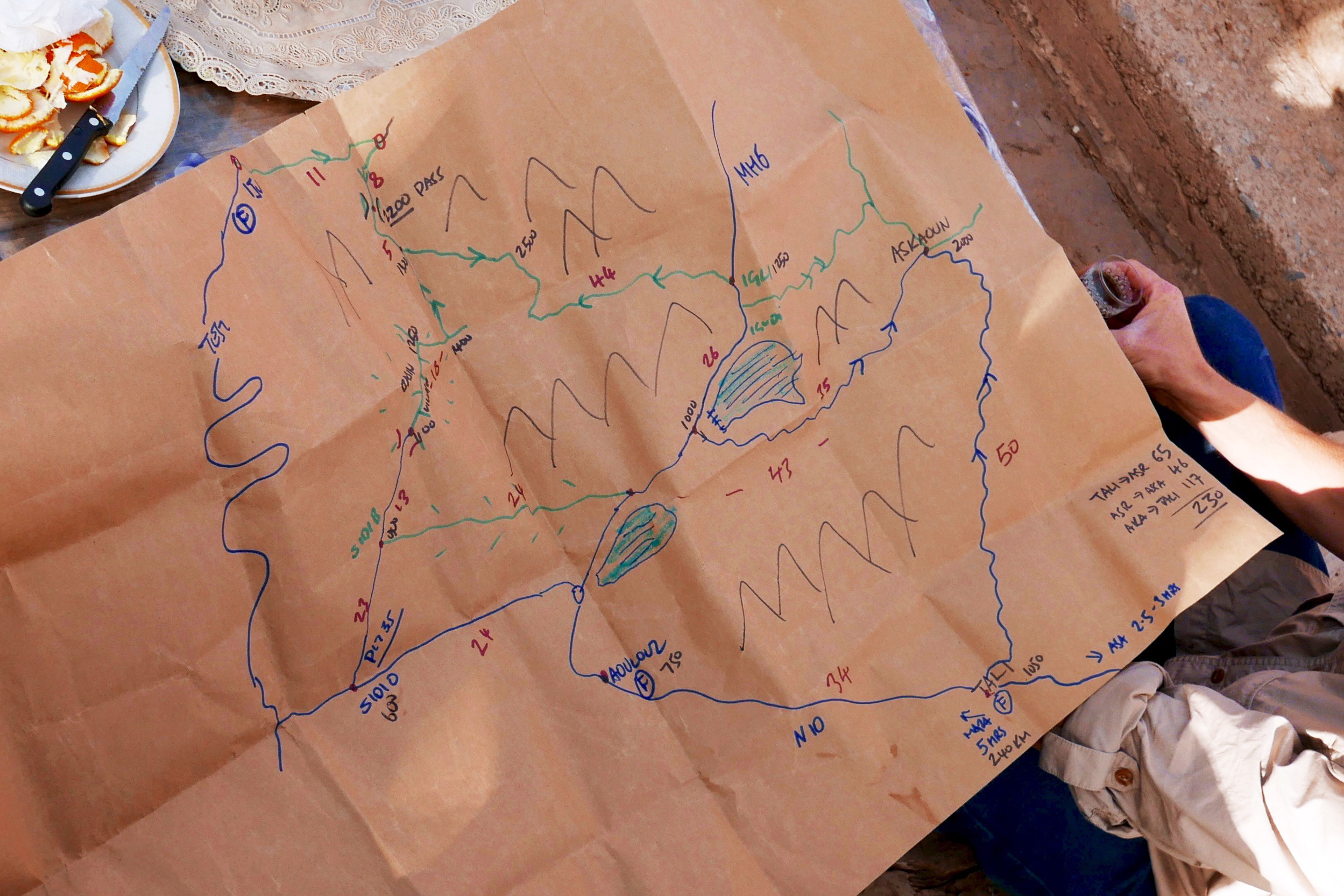
Set off with a mission to join some dots for my spring tour in a couple of weeks.
Mission accomplished. Dots joined.
More about the bike here.
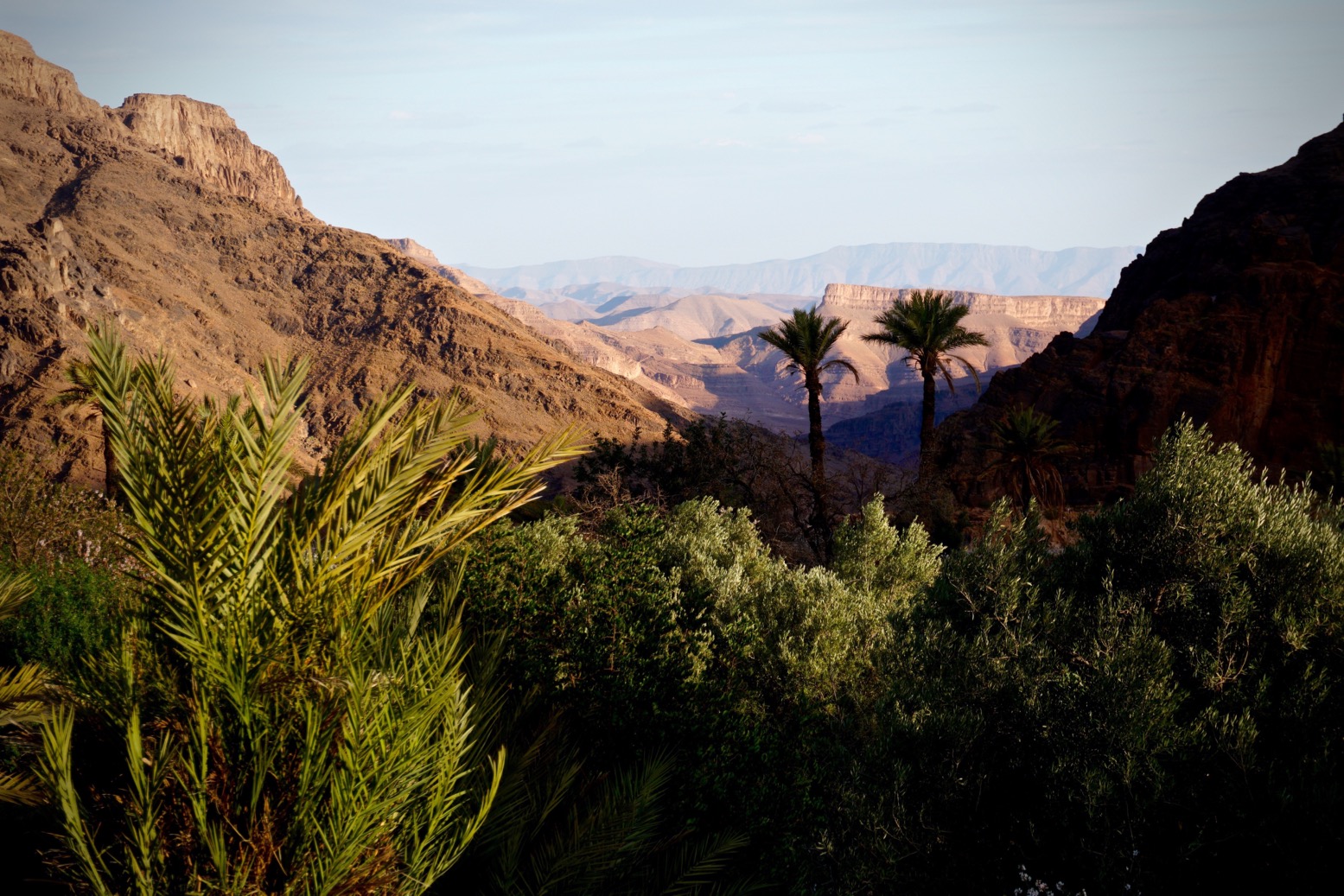
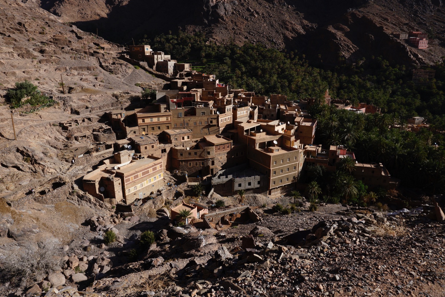
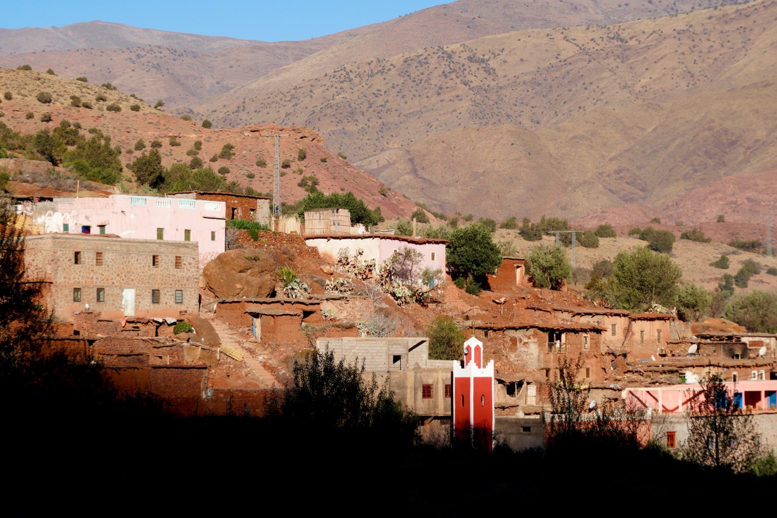
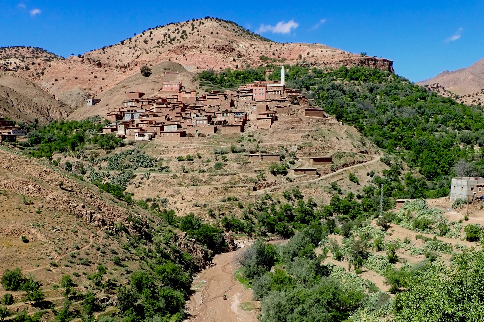
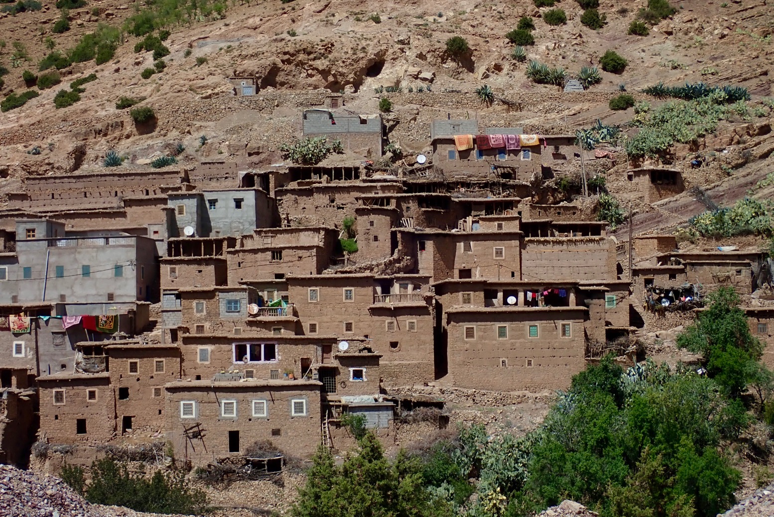
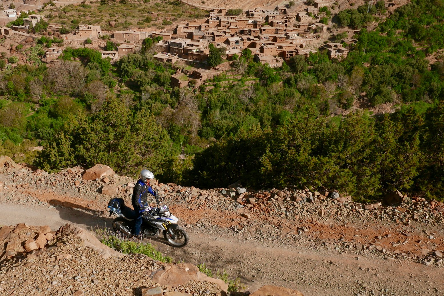
OLYMPUS DIGITAL CAMERAHigh Atlas village

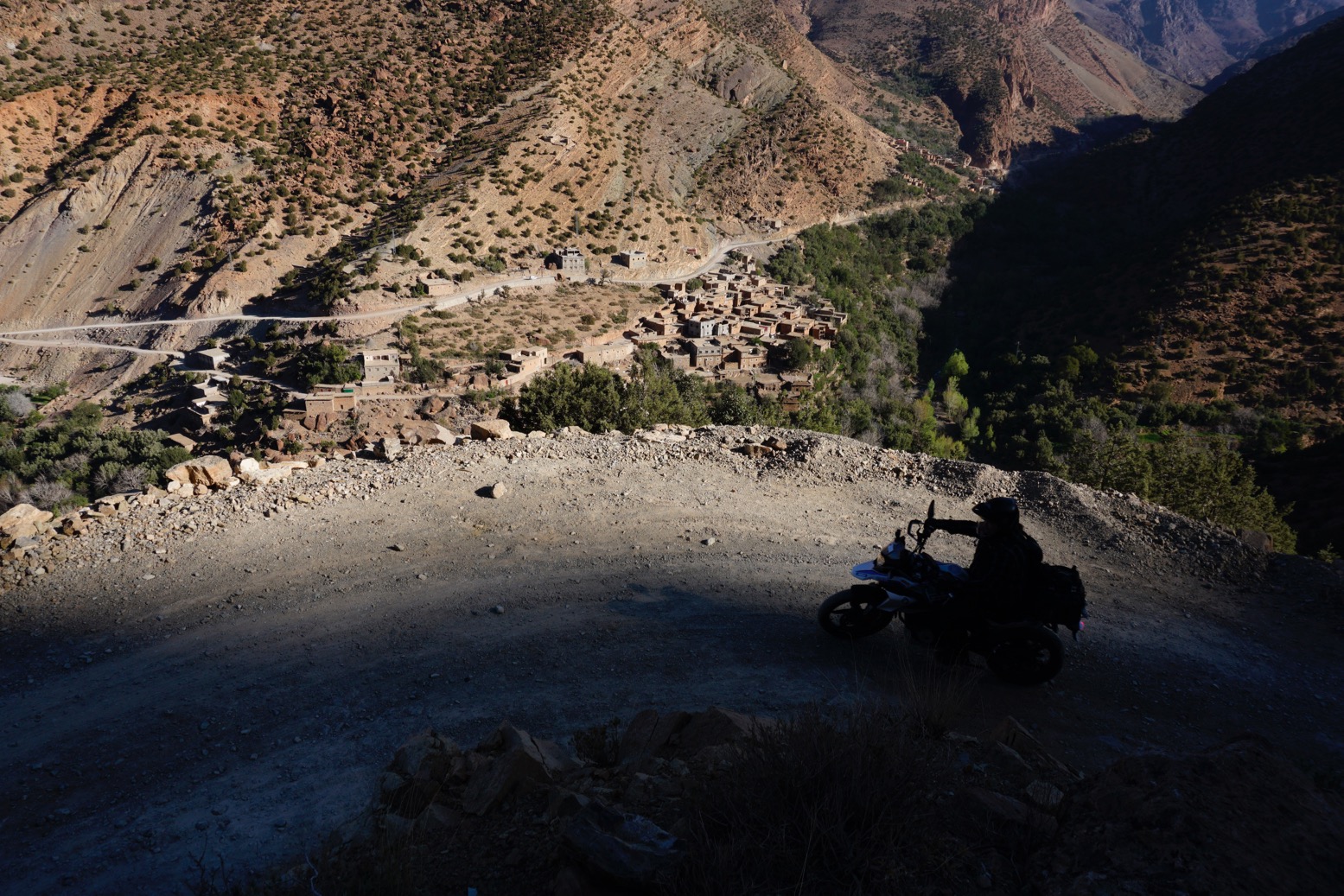
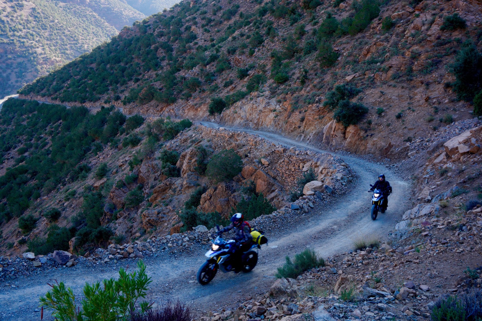
OLYMPUS DIGITAL CAMERAAnother new road from nowhere to nowhere much. I suppose it helps stir up the local gene pool.

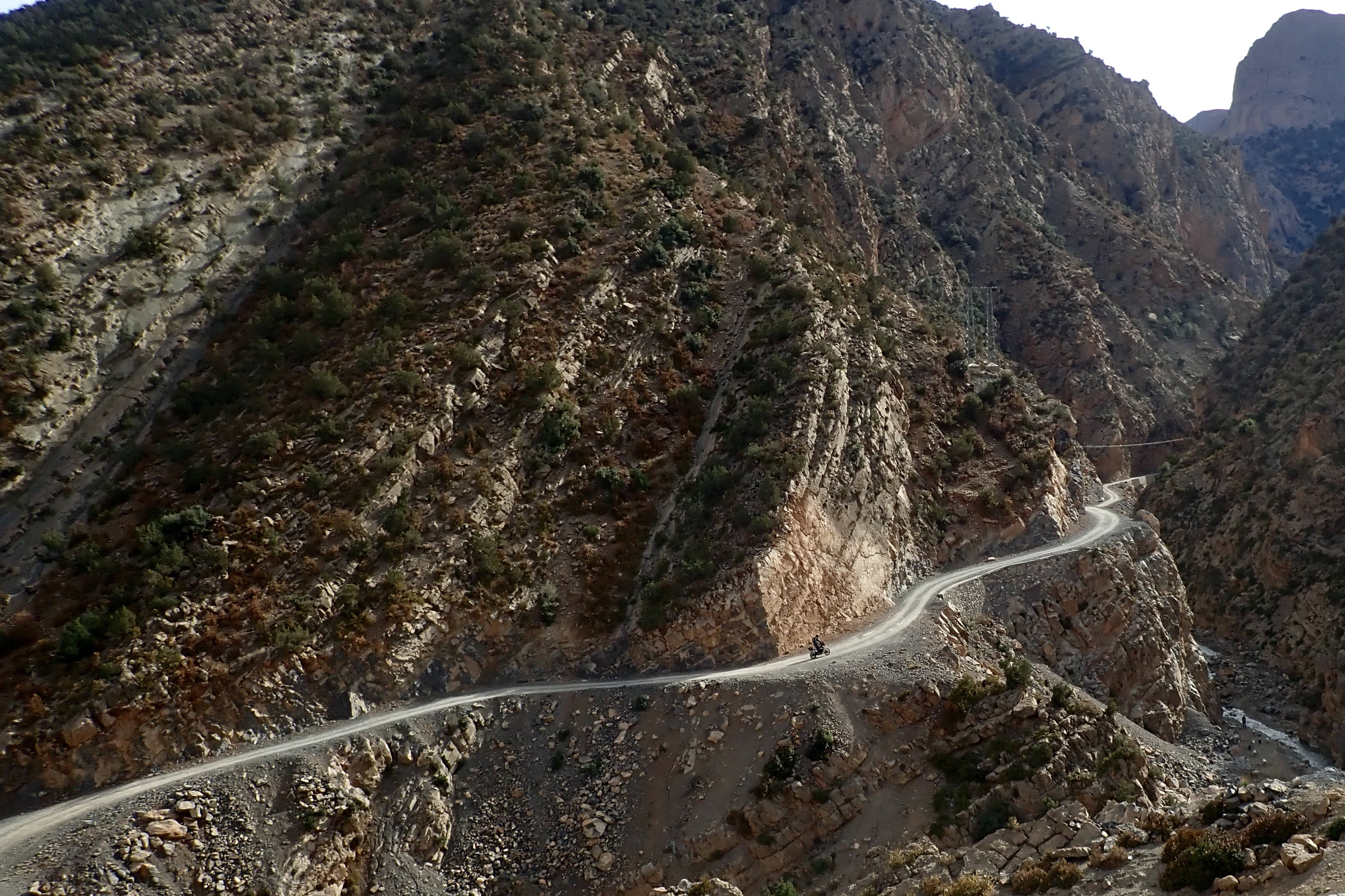
OLYMPUS DIGITAL CAMERAOne of these days I’m going to watch a youtube doc on how they build mountain roads.

OLYMPUS DIGITAL CAMERA

OLYMPUS DIGITAL CAMERAAbove the clouds at 2500m or about 8300′ in old money.

OLYMPUS DIGITAL CAMERAAn isolated juniper tree that’s managed to dodge the village wood burners.

OLYMPUS DIGITAL CAMERAChecking the link route to Map Junction above Ijoukak.

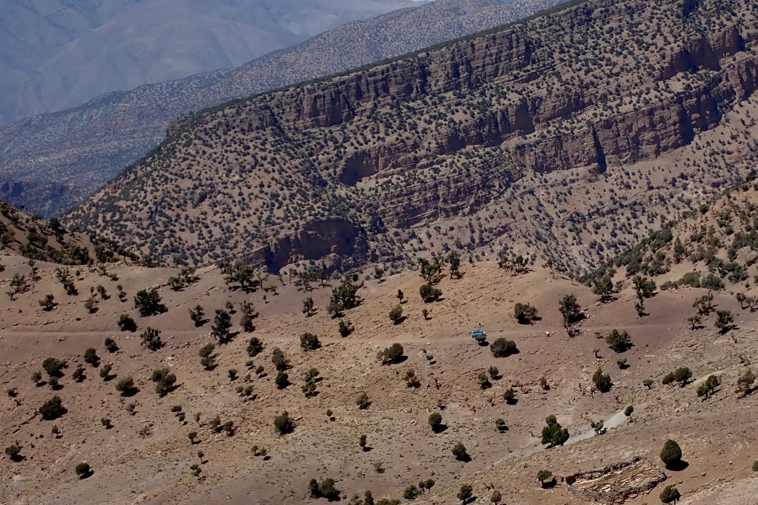
OLYMPUS DIGITAL CAMERA1970s Transit. One of the only vehicle’s I saw today once off the main roads. The other was a Trannie too.

OLYMPUS DIGITAL CAMERAAnother photogenic village somewhere.

OLYMPUS DIGITAL CAMERA

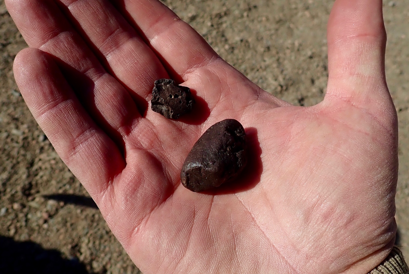
Resting outside a village north of Sidi Ouazik, a relocated Reguibat (Saharawi) ends up giving me some meteorites from the Hammada du Tindouf (St Expert mentioned these in WS).
Never knew Saharawi were relocated way up here โ€“ 45 families, he said.
I tell him Iโ€™m on my way to Reguibat country. About 5 days ride from here to #thedigtree

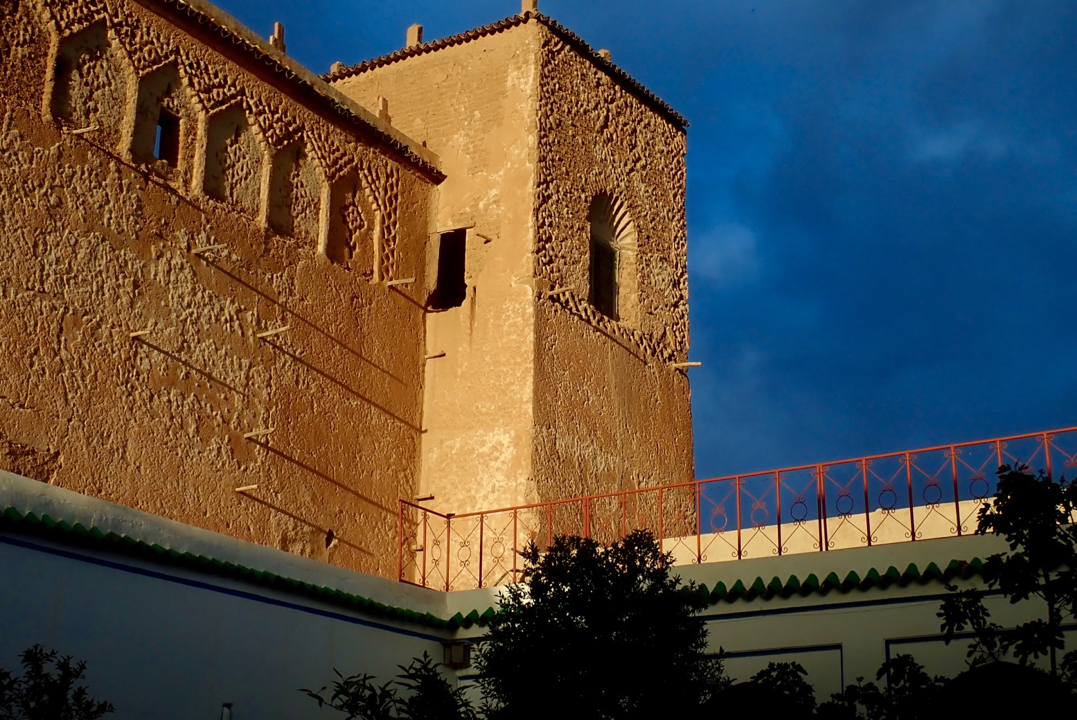
OLYMPUS DIGITAL CAMERASunset at the casbah.

OLYMPUS DIGITAL CAMERAAlways room for a whaffer thin slice of cake.

How to be safe in Morocco

Like most people, I was shocked by the brutal murders of the two Scandinavian women camping in the High Atlas in December 2018. Sadly it was another attack attributed to young men seeking to show solidarity with violent Islamist causes.
One assumes the two women were stalked by the perpetrators from Marrakech, and so the attack might as well have happened anywhere once an opportunity presented itself.
Morocco has been largely free of the types of the attacks which became commonplace in western Europe at this time, and yet tourists who’ve long been targets elsewhere in North Africa and the Sahara, are thick on the ground in all the usual Moroccan places because they feel safe. The last reported terrorist attacks were a bomb targeting tourists in Marrakech in April 2011 and a bigger wave of bombings in Casablanca way back in 2003, mostly aimed at Jewish interests. Unlike the rest of the Sahara, to date no tourist has ever been kidnapped in Morocco.

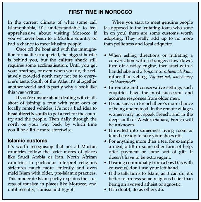
firstime

How to be safe in Morocco
As a tourist, maintaining your safety in Moroccan cities is no different to any other unfamiliar place. Hustlers are common in certain areas; traffic appears chaotic; pickpockets exist and cheap hotels can feel insecure. And out of the cities mountain roads may not all be velvet-smooth Alpine super highways. All these issues have long been far greater threats to visitors in Morocco than Islamist violence.
Being a Muslim country does give Morocco an edge to those unfamiliar with Islamic culture, particularly women, but the Islam practised here is a lot less severe than in Saudi or Iran, for example. Read the blue box, left, extracted from my Morocco guidebook. Also read the sensible guidelines given on the British FCO website, to give one example. They spell out all how to be aware of the most common risks.

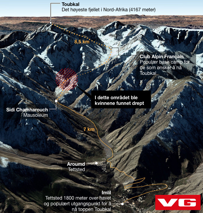
toubka

In a crime sense, the popular hiking area below Mt Toubkal (left) where the women were murdered is not dangerous compared to a big Moroccan city. It is probably its popularity and proximity to Marrakech which make it an easy, adventurous destination.
Occasional unnerving but actually harmless encounters over the years have long led me to advise the following: when wild camping, do so unseen and completely out of sight if possible, and if not then camp close to or in a settlement. This way either everyone knows youโ€™re there or no one does. I give similar advice in both my global overlanding books and would act like this anywhere in the world, just for peace of mind.
In Morocco many have found undisturbed wild camping can be quite hard to achieve. Even in the desert, travellers commonly report someone popping up out of nowhere, usually a curious nomad or villager, or sometimes police checking up on you. It should be understood that in North Africa and the Sahara, camping alone in the middle of nowhere away from other people is regarded by locals as suspicious or odd.
For us Euro-tourists camping has long been regarded as a money-saving adventure, but because hotels and auberges can be so numerous and inexpensive in southern Morocco (from <โ‚ฌ5), I’ve long preferred the comfort and security they offer to all the clobber and faffing required with camping, especially if not travelling in a spacious car, or when travelling in the cool season when mountain nights get chilly and drag on for 12 hours. In a cozy auberge you get to meet local people or fellow travellers, eat well, rest properly and recharge your gadgets.

m17-P1210574

Another practise desert travellers like me have adopted since the deep Sahara became FUBARโ€™d, is not to share detailed travel plans with strangers or online, especially on publicly readable social media. I donโ€™t do Facebook or Whatsapp, but by all means keep friends and family in a closed group appraised of your movements. In Morocco the reach of the mobile network is far greater than youโ€™d expect, not least in remote rural areas where locals depends on it. A local SIM card costs from โ‚ฌ2 which includes โ‚ฌ2 of credit. You may need the vendor’s help in setting it up.

No one could have anticipated the appalling murders in the High Atlas any more than crossing a bridge in London, backpacking in New Zealand, visiting a market in Strasburg, attending a Baltic island retreat, or a school or place of worship in the US. Morocco remains one of the few countries in North Africa where tourism continues to thrive despite anxieties about ‘Muslim countries’. It helps sustain the local economy, particularly in rural areas where the true level of poverty is much greater than it looks. Donโ€™t let this tragic event unsettle your plans to visit a wonderful country, any more than any of the other places listed above.

P1310022

Tichkaโ€“Marrakech: alternative roads

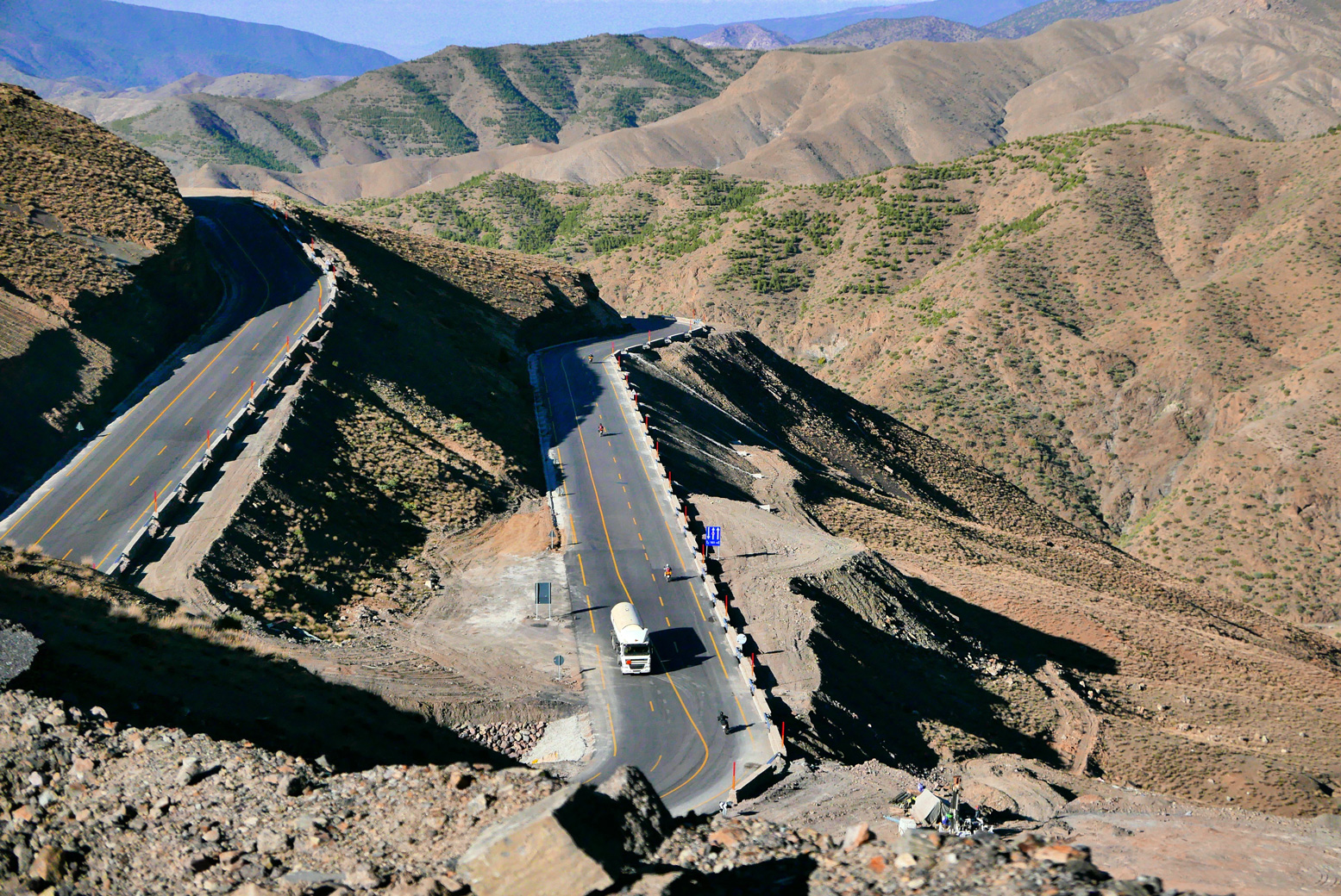
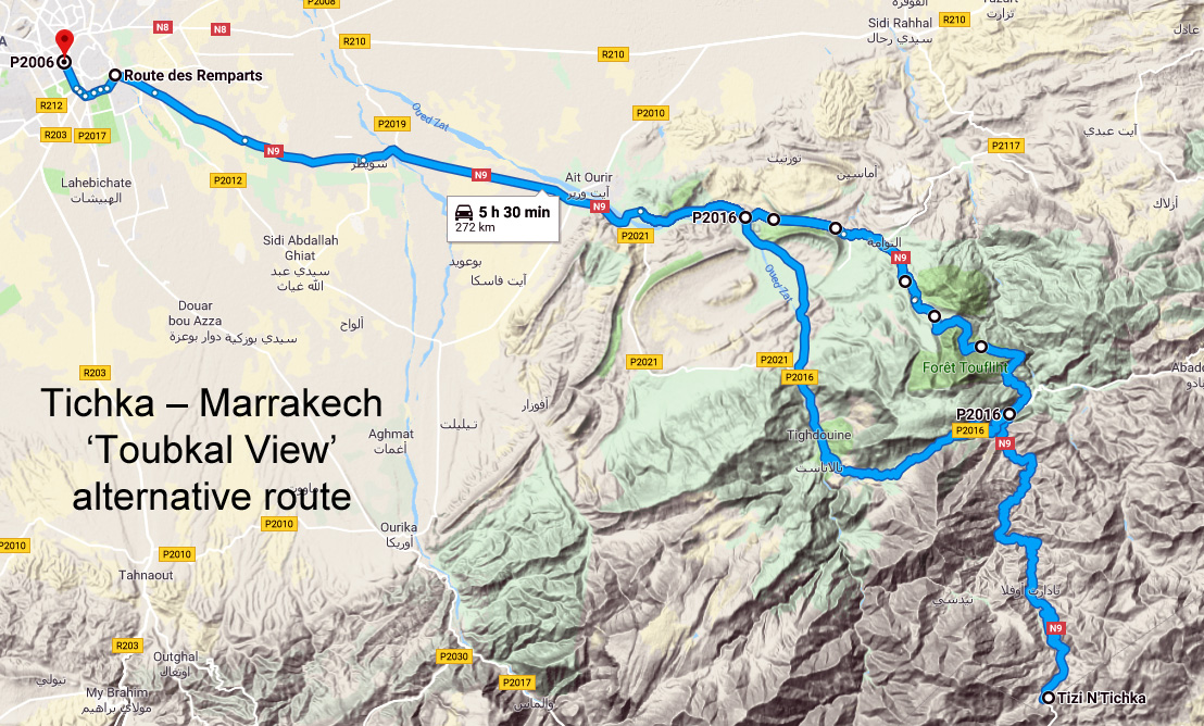
toubviewThe N9 is the main highway crossing the High Atlas between Marrakech and Ouarzazate, topping out about halfway at the 2260-m Tizi n Tichka pass where a superb range of clay souvenirs and vibrantly coloured ‘gems’ are permanently on display. Being the main road, traffic can be relatively heavy and slow, and the hundreds of bends make cycling a bit stressful and overtaking tricky in a vehicle, especially when climbing or away from the recently widened ‘race track’ which uncoils a few kilometres north of Tichka (below). But even on this recently improved section, landslides and subsidence are already taking their toll.
Short of the usual floods and storm damage, both the diversions outlined below are doable in a regular 2WD rental car, on big motorcycles as well as sturdy bicycles.

tichkawide
Telouet-route

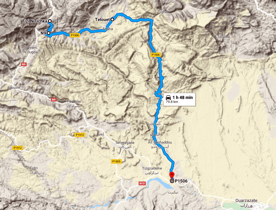
On the warmer, south side of Tichka, the alternative route (right) via Telouet was well known, even before it became largely sealed a few years ago. It starts just 4km south of the Tichka col, where the final roadworks on the P1506 are nearing completion on the 20km to Telouet with its famous Glaoui kasbah.
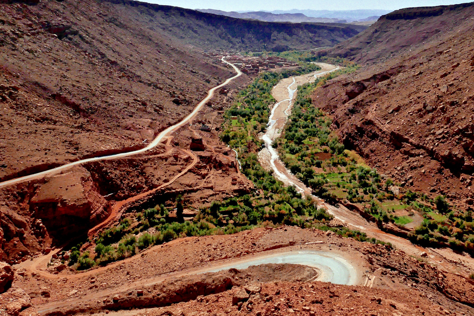
From here the P1506 soon drops off a plateau to follow a long, oasis-lined ravine (below) all the way down to the Aรฏt Benhaddou tourist trap, rejoining the N9 10km later at Tazentout, 23km west of Ouarzazate.

aitbenvalley

N9-Toubkal

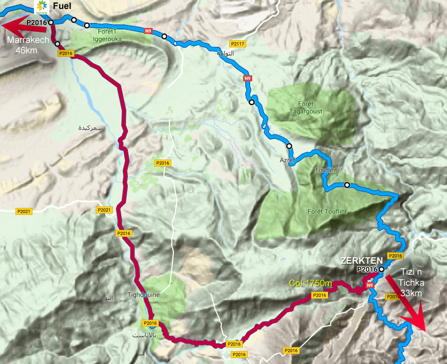
On the north side of Tichka, road widening disruption has currently spread down the valley over 17km north of Tadart, the first village below the col. But once you get to Zerkten village, signed and 33km below Tichka by a red and white telecom mast, there’s an easily missed side road to the west. See map above.
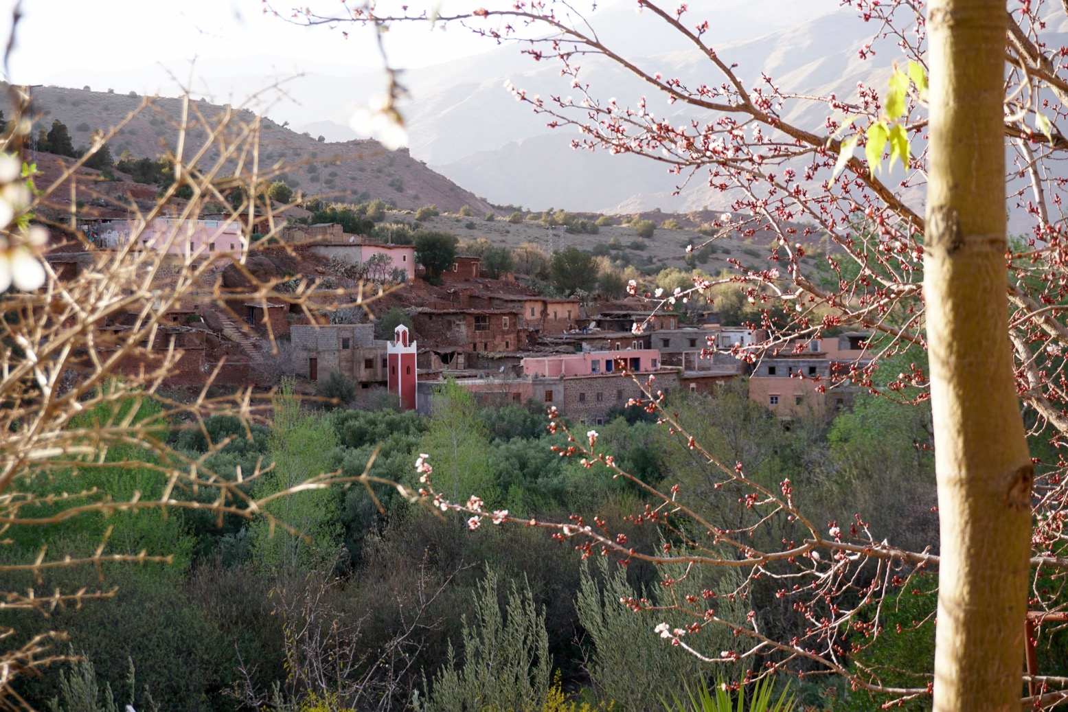
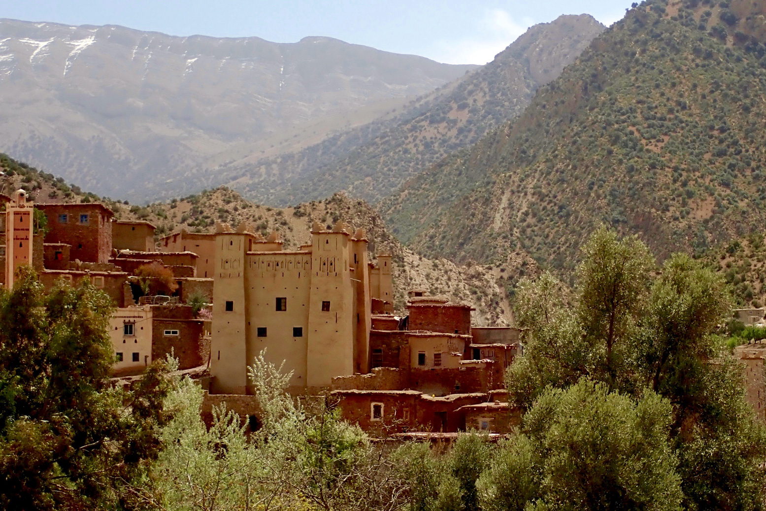
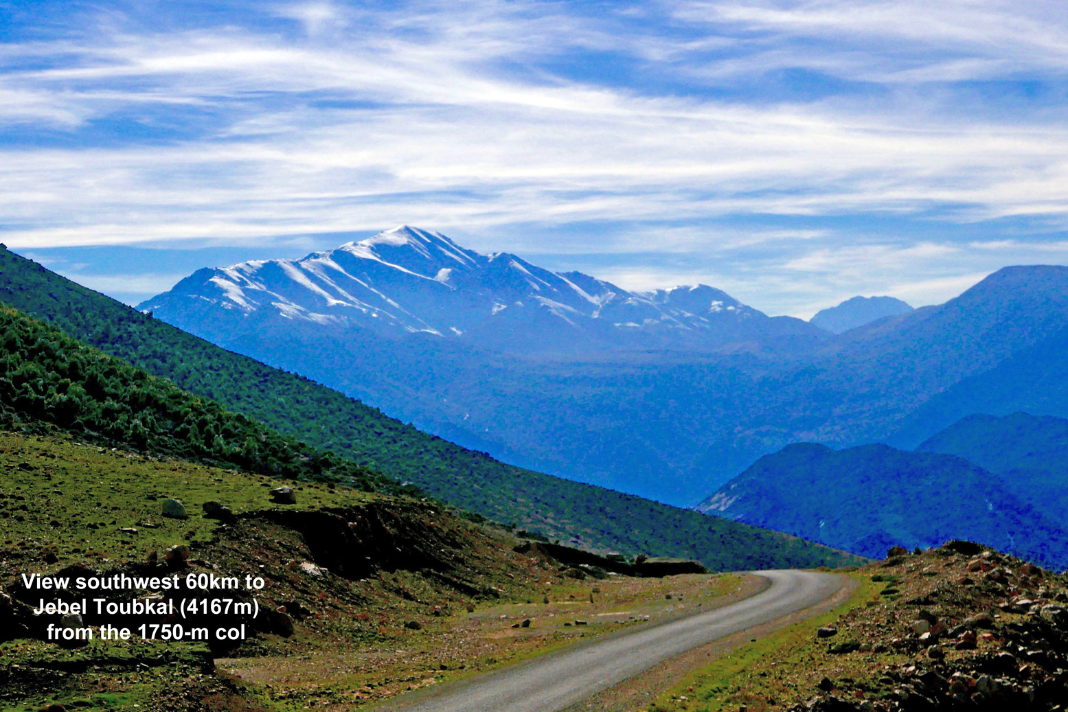
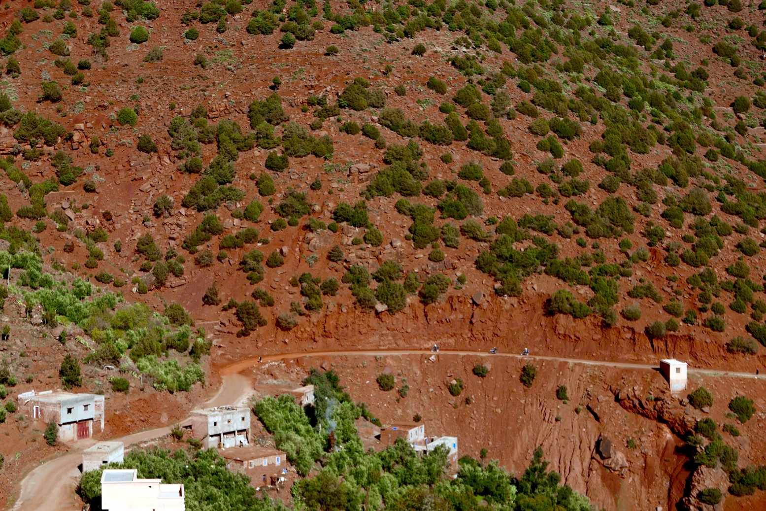
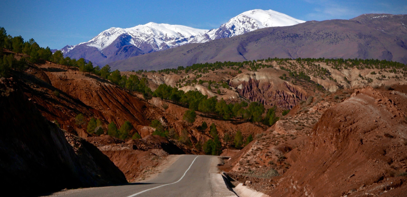
As pictured below, it leads steeply 6km up to a 1750-m col to an impressive view 60km  southwest to the 4167-m mass of Jebel Toubkal. It’s one of the few points on a sealed road that gives a full view of North Africa’s highest mountain (picture, top of page).

tichcolclimb
N9-Tichka-view
oliver

From here the road drops down through apple orchards recalling the Aรฏt Boumengueze valley further east, below the Mgoun massif (MH18. MH19).

winxo

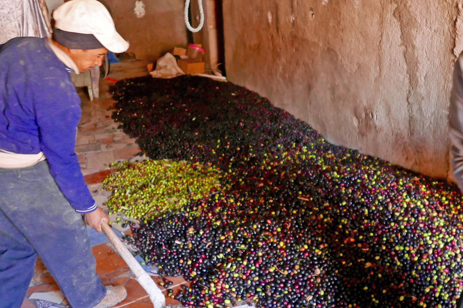
It levels out along the Oued Zat at the town of Tighoudine in the Oued Zat valley where, in late November, you’ll detect the strong aroma of olive oil being produced in roadside presses (right).
The side route rejoins the N9 after 35km, just before a green Winxo fuel station on the north side of the road, 46km from Marrakech.

highatlashighway

Tis the Spiral Tunnel of Tagountsa

Part of the Sahara A to Z series

spirtuna
spirmoha

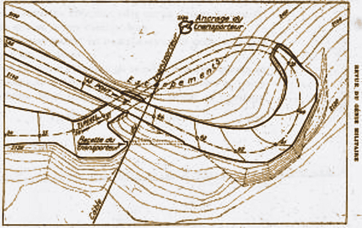
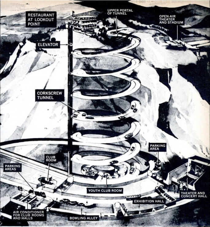
High up on the side of a remote High Atlas valley is an engineering marvel โ€“ hewn through the cliff face a spiral tunnel manages to curl down through the rock and emerge underneath itself.
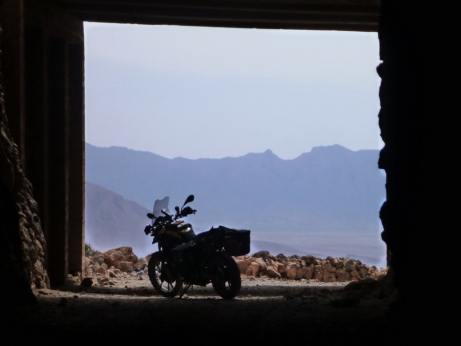
I was told about this curiosity in 2012 by the chap at the cozy Chez Moha auberge (right) in Aรฏt Youb while researching the second edition of Morocco Overland. Riding a BMW F650GS, I followed his directions with the usual route-finding issues and then, beyond the last village, hacked up a stony disused track to the 2250-m (7340′) Tagountsa Pass. From the cliff edge I recall the timeless view stretching east up the Plain d’Amane valley towards Rich, pictured below and on p128 in the current book. A short distance later I spun through the tunnel and rolled down a series of switchbacks back to the valley floor and a tasty tajine back at the auberge.

tang

Spiral tunnels have been a long-established solution to constricted route building challenges across mountains. You could even say that your typical complex freeway intersection where the road winds back under itself to change direction tightly is the same thing in flyover form. But you must admit that hacking out any type of tunnel โ€“ let alone one where there’s no room to dig out a regular switchback โ€“ is an impressive task.

spirplak
yvrom

Not for the first time on this website, I’m able to benefit from research of Yves Rohmer (right) on his always fascinating collection of old Saharan curiosities at Saharayro, including the Tagountsa tunnel. Viewed on Google Earth, the big picture is more vividly rendered setting View > Historical Imagery back a few years.

spir
spirplan
spirtuna

Even then it’s hard to visualise what’s happening until you look at the old plan, right. You can see the anticlockwise descent of the bore and just work out that it starts with a short separate concrete bridge over the lower mouth of the tunnel. The daylight streaming down the gap can be seen in the image repeated on the left (and as a slim shadow in the round inset, above)

spirimit
legion

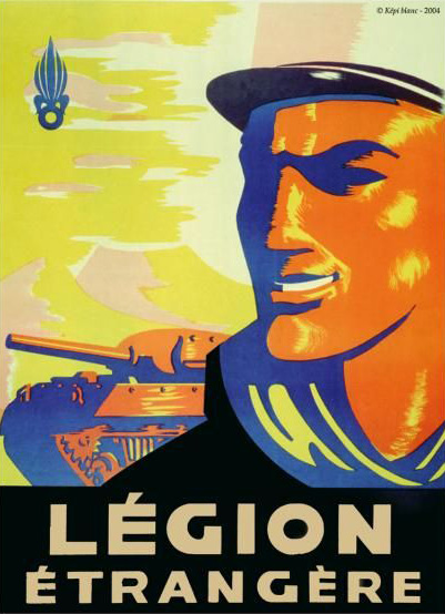
Built in 1933 over a period of just three months by some 3000 labourers from local and French regiments, few realise that at this time the French were still fighting to subdue renegade Berber tribes in the mountains of Morocco.
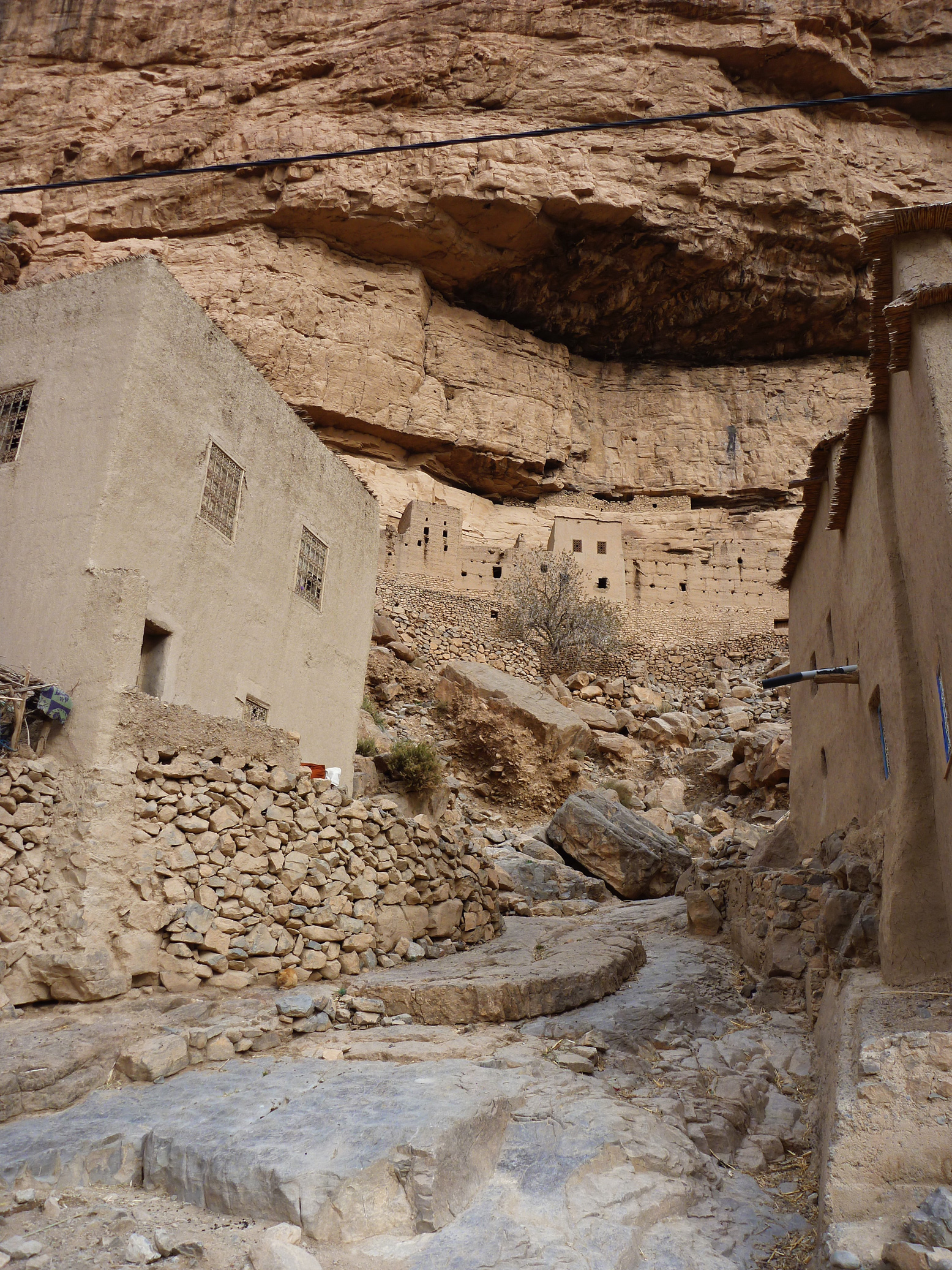
As you can see on Yves pages, the engineers, sapeurs and legionnaires passed their spare time commemorating their achievement by engraving regimental emblems in and around the structure. I was told the motivation for all this effort was to enable a secure, high transit of the valley, so avoiding protracted Berber ambushes at the narrow Imiter Gorge (left; ~KM70) with it’s Mesa Verde-like dwellings.
The same crew probably built the better known 62-metre Tunnel de Legionnaires five years earlier at Foum Zabel now on the main N13 highway north of Errachidia. A plaque there boldly states:
The mountain barred the way.
Nonetheless the order was given to pass…
The Legion executed it.”

spirtun

The Tagountsa tunnel the Legion helped build is at KM102 on Route MH13 in the book, though if you reverse the route it’s only a 10-km off-road drive off the Rich road just east of Amellago, turning north onto the dirt at KM113. Depending on storm damage, an ordinary car or a big bike should manage it, but note that you’ll be negotiating all those hairpins on the Google image above. From the west side (as Route MH13 describes the loop) it was a rougher and slightly more complicated ride on the BMW up to the pass.

spirdram

Perhaps because trains can’t negotiate hairpins or climb very steep grades, it seems that spiral or helicoidal tunnels have been a much more common feature on mountain railways than roads, particularly in the Rockies.

Norway’s Drammen Spiral (left), some 50km southwest of Oslo is a notable example, dug we’re told, as an alternative to disfiguring effects of open quarrying on the landscape back in the 1950s while at the same time producing a revenue-producing tourist attraction in the process.

Morocco Overland: Route J2, J3

Updated December 2025

Trans Atlas: J2

Talat n Yacoub (Ijoukak) > Ouneine basin > Ouaougdimt valley > Aoulouz โ€ข 88km
Last run October 2023 โ€“ CRF300L

Following the September 2023 earthquake, the steeper north slope of this track is almost immedaitely blocked and remains unused. To get to Ouneine take the bypass and cut back west via the road or the MH212 link route.

a310-7

Description
High Atlas crossing parallel to the nearby Tizi n’ ‘Test which peaks at the 2200-m Tizi n Oulaoune (30.940222, -8.125111), following a steep climb: some 500m in 8km after leaving the road SE of Ijoukak (right).
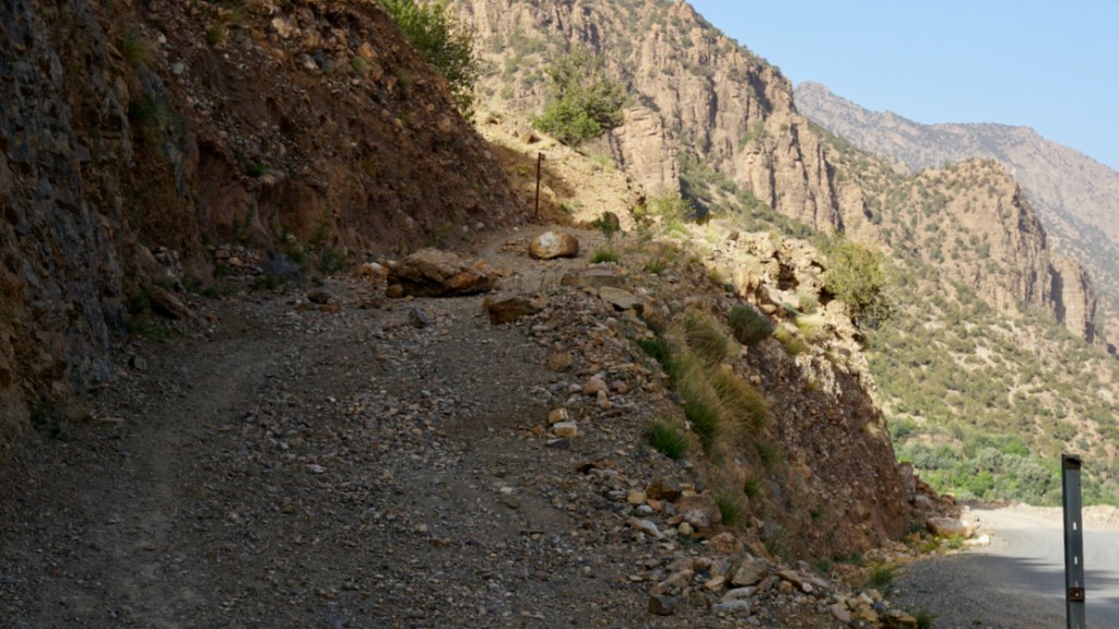
You may find the looser parts of this climb a struggle in a 2WD or on a heavy, wide bike, but this was not the case on 2022 in a 4×4. It’s probable that local 2WD vans only do it downhill (northbound) to Ijoukak. Track immediately blocked by post-earthquake debris (below; 6 months later) and remains abandoned.

In 2022 the track was rougher as it rolled down to the Ouneine basin and the P1735 whose extension eastwards to Igli on (J3) is now sealed. Keep right at the fork with an illegible sign. At the bottom just before it joins the road you have to detour south around the boundary fence of a new small mine,

Once in the basin carry on SW along the P1735, and at Sidi ali ou Brahim swing sharp left off the road, cross the stream and follow the Ouaougdimt valley 24km SE (not fully shown on most paper maps) to join the road coming down from Aguim on the N9 Marrakechโ€“Ouarzazate road.
Or, if you’re in a rush or heading towards Taroudant, at Sidi ali ou Brahim carry on 23km south on the ever-bendy P1735 to Sidi Ouaziz (fuel) on the N10. Otherwise, it would be a shame to miss out on the scenic Ouaougdimt valley stage, as it rises onto a terrace high above the valley floor.

mhh20

Mapping
Parts of the route are just about legible on paper maps, least badly on the inset ‘High Atlas’ panel on the Michelin. But none show the full Ouaougdimt valley route. It’s all on Google and the OSM/Garmin digitals.

Off-Road
The climb up to the 2200-m Tizi n Oulaoune pass from KM11 starts a steeply but is now blocked. From the pass the gradient eases off with great views doiwn to the basin while you’ll find the Ouaougdimt valley stage no harder than anything you’ve just done. Carefully ridden, a big bike might manage the loose hairpins; so could a 2WD with low first and clearance, though as always, these mountain tracks require concentration. On an MTB it will be a slog if not a push up to the Tizi n Oulaoune, followed by a rough freewheeling reward to the basin and no more huge grades thereafter. Bikes might have more fun following J3 to the high P1735 road, turning left or right.

Route finding
Easy enough. We winged it just by studying Google satellite imagery beforehand, jotting down some distances between junctions. That’s now all listed below. Download the kml file.

Suggested duration
Half a day will do you.

Route Description
0km
 (88) Talat n Yacoub fuel station (village destroyed but still serving) on the N7 Tizi n Test road. Head north to Ijoukak village.

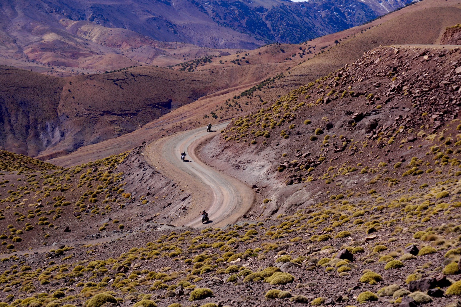
3 (85) Pass through Ijoukak, cross the bridge and turn immediately right up the side road now thronged with relief tents. Soon you’ll pass Houssain’s agreeable mountain lodge (repaired; reopened). Huge boulders have fallen on the road.

11 (77) At the fork before a village turn right, drop down over a bridge and carry on. Soon there’s a sign right: ‘Ouneine? 24km’. The 500m climb to the pass begins. (Ahead, MH21 continues). To reach Ouneine take the J2 bypass and take the road, or link track which comes in to Map Junction below.

19 (69) Tizi n Oulaoune 2200-m high point with views of Toubkal (4167m) 20km to the northeast. The track now eases off as it descends.

mh20km23
KM23 Map Junction
feb20 - 36

23 (65) Fork with sign (photo above: ‘Map Junction’). East at this fork is a rough track (MH212) which in 9km joins J2 to Igli. Keep right (south) to continue descending to the Ouneine basin visible to the west. At a small mine work your way round the fence to the south. to rejoin the track. Eventually, at a junction around KM35 you join the P1735 road which goes E towards Igli/Iguidi over a 2500-m terrace. This is a spectacular high mountain road (J2).
Meanwhile, the P1735 crosses the Ouneine (shops and cafes) basin SW and threads through a small pass back into the hills.

mh20ouaval

54 (34) Sidi ali ou Brahim. The tarmac carries on 23km to Sidi Ouaziz (fuel) on the R110/N10 but you turn sharp left here, drop down to the stream and up the other side. The track is initially a bit eroded and loose as it climbs to the first village, but that’s why they invented suspension. It then eases off as it rises above the valley on a terrace (right) with great views down to the villages below. You could be in the Cevennes or the Pyrenees, but you’re in the High Atlas. It could be worse.

78 (10) Join the tarmac (J4) by the reservoir. Turn right (west).

83 (5) Roundabout on the R110/N10.

88 Aoulouz fuel stations.

mh20desc

Trans Atlas: J3

Ijoukak > Igli/Iguidi > Askaoun > Taliouine โ€ข 170km
Last run: October 2023: CRF300L

At the ‘Ouneine’ turn-off for the blocked track up to Tizi n Oulaoune, carry on southeast on tarmac for a few km until it ends at a village (green mark on map above). Keep going along an easy piste rising up the valley and past a couple more villages all surrounded by relief tents in 2023. Just before one village keep right (downwards); sharp back left leads up to who knows where. Your route climbs to meet the end of the J2 link track close to the Ouneine-Igli tarmac.
Turn left then at the tarmac nearby it’s left up to over 2550m then a long wind down to Igli/Iguidi (hotel/cafe) on the Aquim-Aoulouz road J4.
From here carry on south then west down the valley and turn left at a sign to cross below the dam wall (long term roadworks) and wind your way up to up to Askaoun (KM120) then 45km down to Taliouine.
Total 170KM, fuel to fuel.
I did versions of this route three times in November 2022 with a lunch in Igli. A great ride with a dizzying number of bends in one day.

A few photos   A few more

Looking down on the new bypass from the high route

Fortnight’s camel trek in Mauritania

Just back from a two-week camel trek in Mauritania, walking with a mostly French group of 14 from Chinguetti (‘la Sorbonne du desert’) to Terjit (map, left), about 150km. For the first two days over the dunes we were accompanied by a crew filming a report for a French TV station on the return of tourism to Mauritania (see below).
Of course tourism never really stopped for independent travellers (compared to Algeria)  and despite the killings and kidnap
pings of a few years ago (including an entire French family in 2007, right). But the recent resumption of charter flights bringing much bigger groups from Paris directly to Atar (not via Nouakchott) was something for local tour operators to celebrate. It is probably the result of revised travel advice issued by the French Ministry of Foreign Affairs (left). You’ll see they critically (and imo, correctly) extend the ‘travel if you must’ orange zone further east compared to the British FCO. It makes all the difference for local tourism because in that orange zone most of what most people want to see in Mauritania is easily accessible. Our weekly plane chartered by Le Point (with seats sold on to other operators) was packed out.
The Vallee Blanche is the longest trek Le Point offer, but in terms of landscape and pace, maybe not their best depending on your previous experience. Horror des horreurs, we even walked along a road for a bit. Our guide recommended the 8-day Amatlich Erg walk โ€“ fewer interminable rocky plateaux he said, but then that’s all part of the deal in the desert. Wherever you go, it’s a variety of sand, rock and passing landforms that’s the key to a satisfying experience. I got the feeling that by day 8 or 9 most were counting the days, partly because the 25km/day pace had dropped by over 50% (as planned) by which time the 6-hour lunch breaks were exceeding walking times.
The fact it was unseasonably hot, with temperatures of over 40ยฐC in the shade, may have tempered enthusiasm, but actually the morale and ambience of our group was very good; most had done previous tours with Le Point, including Chad which can be a tougher call. The Adrar at this time is usually in the low 30s โ€“ as it was on our very last day to Terjit, but most days it really was too hard to move or even stay awake for long, while lying under an acacia between noon and 3pm.
The plus side was that being on the trail before dawn was great fun, although I’m not sure what shape I’d have been in had we walked 25km/day for the full two weeks. So in fact the long siestas were the right thing to do. We’re not all huddled round that meagre shade tree on the left just because someone has cracked open their stash of Haribo Yellow Belly Jelly Snakes. We’re gagging to cool down a bit. Much depends on the terrain of course โ€“ is dodging trackless rubble worse than sinking into ankle-deep sand? They’re about the same once you add your daily endowment of aches, pains and cumulative fatigue.
All this was eased by a hard-working crew (left) plus our guide Mohamed who, it must be said, was feeling the strain after a busy season tramping around the desert with us nasranis. (There was no French-domiciled accompagnateur, not a need for one; with a Brit group it might need to be different.) I was just relieved I had a fully charged Kindle to help pass the long hours inching along with the shade from 11am till 4 or 5pm. By then it wasn’t going to get hotter, or the remainder of the day’s walk was short enough to not matter so much. One night it felt like it didn’t drop below 30ยฐC and after a week of this everything, even your toothpaste buried in your bag, is hot and stays hot. I’ve not been in such heat for so long since an early-80s moto trip to Algeria, mistakenly taken in September when it was hotter still. Oh, and Libya in April 1998 (right); also very hot. Both were quite shock and yet watching our Mauritanian camel crew stride along in their flip-flops from camp-to-camp without rests and after spending over an hour locating and laboriously loading over a dozen camels makes you wonder what you’re whining about. You got to take your cheche off to these guys.
As it was, a couple in the group chose to ride when weary, and another couple had reserved camels to ride whenever possible. If you take this option, good saddle padding is essential, especially on the backbone. Me, I like to walk โ€“ some days more than others.
Sleeping out, I was a bit concerned that le chaleur might bring out the spiders and snakes everyone talks about in the desert. I heard later that the guides had indeed spotted a snake on night one, and again at Berbera guelta, but I never even saw any tracks. I suppose the good thing is that, besides being too big to eat, at night a reposing human is not much warmer than the surrounding desert and so not that alluring.
Compared to my Algeria camel trips (here and here) I have to say the service was as good if not better; it’s only a shame the fresh lunchtime salad couldn’t last beyond day one out of Chinguetti. After that it was cous cous/rice/pasta with tinned fish and hard veg at lunch, and the same but with veg stew in the evenings, plus soup and tinned fruit for afters. That said, we got two goats (right) which we didn’t have to buy, sandbread baked every night and pancakes every morning. And there was never a shortage of water, even for washing. After a while you do crave fresh fruit and veg as well as cool, clear water, but despite what you might call a ‘high-carb’ diet I managed to lose 4kg which I happened to have going spare. Heat kills the appetite which is why I’m currently dressed in three ski suits while doing Hot Yoga next to the radiator.
One thing that spoils the Mauritanian desert vibe for me is the endless ‘gift shops’ unrolled at many desert stops and every nomad camp. In this way Algeria feels more sauvage; on the Immidir treks we might come across a family  of feral goat nomads in 11 days and never ever see car tracks. But as I recall from the late-90s, wayside trinket markets were always the way in the Adrar, as it was in the Aรฏr of Niger. And anyway, not everyone may have as replete a collection of cheches, stone tools, teapots and other desert souvenirs like me. At one place I noticed a women selling an unusual fulgarite necklace among her collection of silver jewellery.
The large group size didn’t really bother me, perhaps because much of the chat went over my head, but probably because it was a good group and anyway โ€“ resting or on the move there is plenty of space, it’s not like being stuck in a bus. Plus you imagine people who choose to take a two-week walk in the desert in March aren’t going to be complainers. Having said that, you do wonder if Homo Sapiens’ mysterious Great Leap Forward; the so-called advent of behavioural modernity 40,000 years ago is attributable to the invention of the comfy chair. Or maybe that’s where it all went wrong.
cropped-cam2dins.jpgIt’s interesting to observe how the Frenchies (and the few Belges) are much more casual about desert walking than some Brits brought up on the exploits of tormented ex-public school masochists like Thesiger, Lawrence and maybe Michael Asher. Le Sahara to them is just a holiday destination like Vanuatu, not necessarily a place to pit yourself against the elements to within an inch of your life.

rim18 - 26

tik
Straight out of Atar into the desert.
Great value at โ‚ฌ1200 + โ‚ฌ55 airport visa
Pre-dawn starts. Feels like a proper desert trip
Sand-baked goat x 2, merci beaucoup
A shady acacia just when you need it
Great crew from Mauritanie Voyages
Wheat flour sandbread, not heavy tagela
Afternoon at Berbera oasis
You’ll get plenty of dune walking in

luncharn

cros
Lack of prolonged remoteness (to be expected in the Adrar)
Flatish landscape out east
Trinket stalls every day
Pace slowed too much (but just as well)
Nescafe โ€“ in the end, undrinkable whatever you try
Missed fresh lunch salads and fruit, too
Oued Abiod; the better places were off it

You can watch the 4-minute French TV report here. We didn’t encounter the army patrols featured in the film โ€“ they were up north shot later (so to speak). But it reminds me how brilliant drones are for desert filming. Makes me want to do more walking in the Sahara, but maybe not in a springtime heatwave.
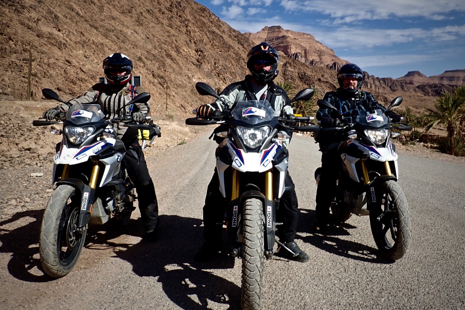
Tassili N’Ajjer Ride 2018

A few shots from our two-week fly in tour to southeastern Algeria with Wustenfahrer. For the full trip report, click here.
Video by Tony S.