S is for Shell’s Guide to Sahara Motor Tourism, 1955

Part of the Sahara A to Z series

In the last decade of France’s colonial presence in North Africa, their part of Sahara was divided between three territories: Algeria, Tunisia and Morocco (‘AFN’), ‘AOF’ (French West Africa) from Mauritania to Niger, and ‘AEF’ or French Equatorial Africa which included present-day Chad.
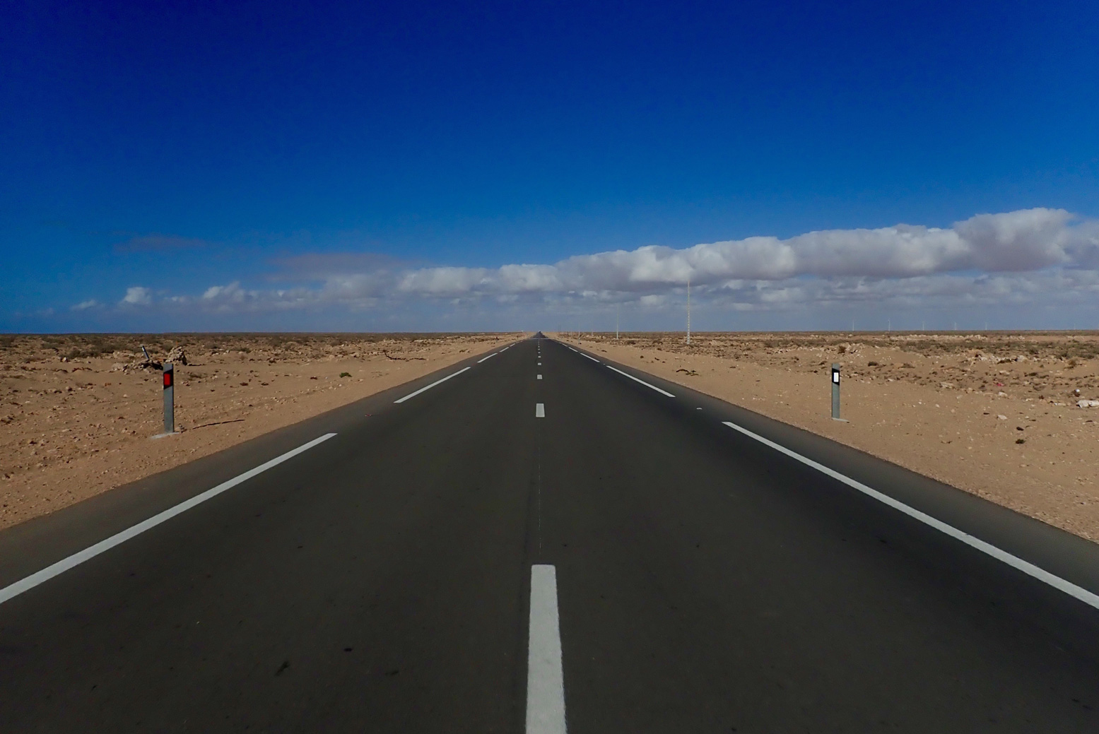
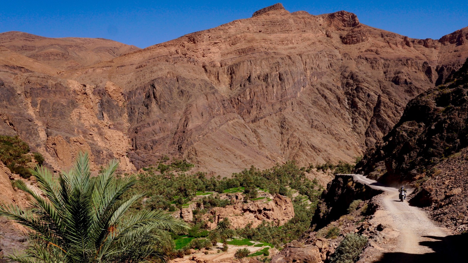
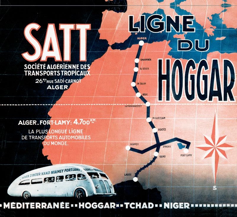
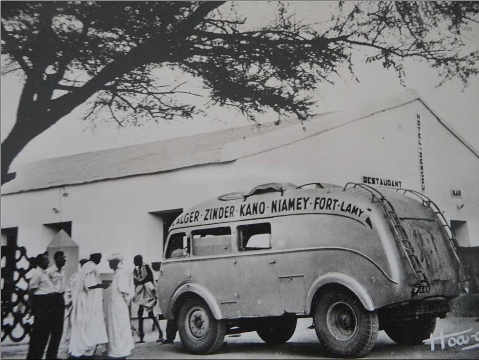
One could travel the pistes across the desert between the Mediterranean coast and the Sahel, and even scheduled bus services traversed these ‘Imperial Routes’ to the sub-Saharan capitals.

Pre-war editions were more aviation based

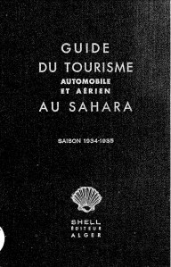
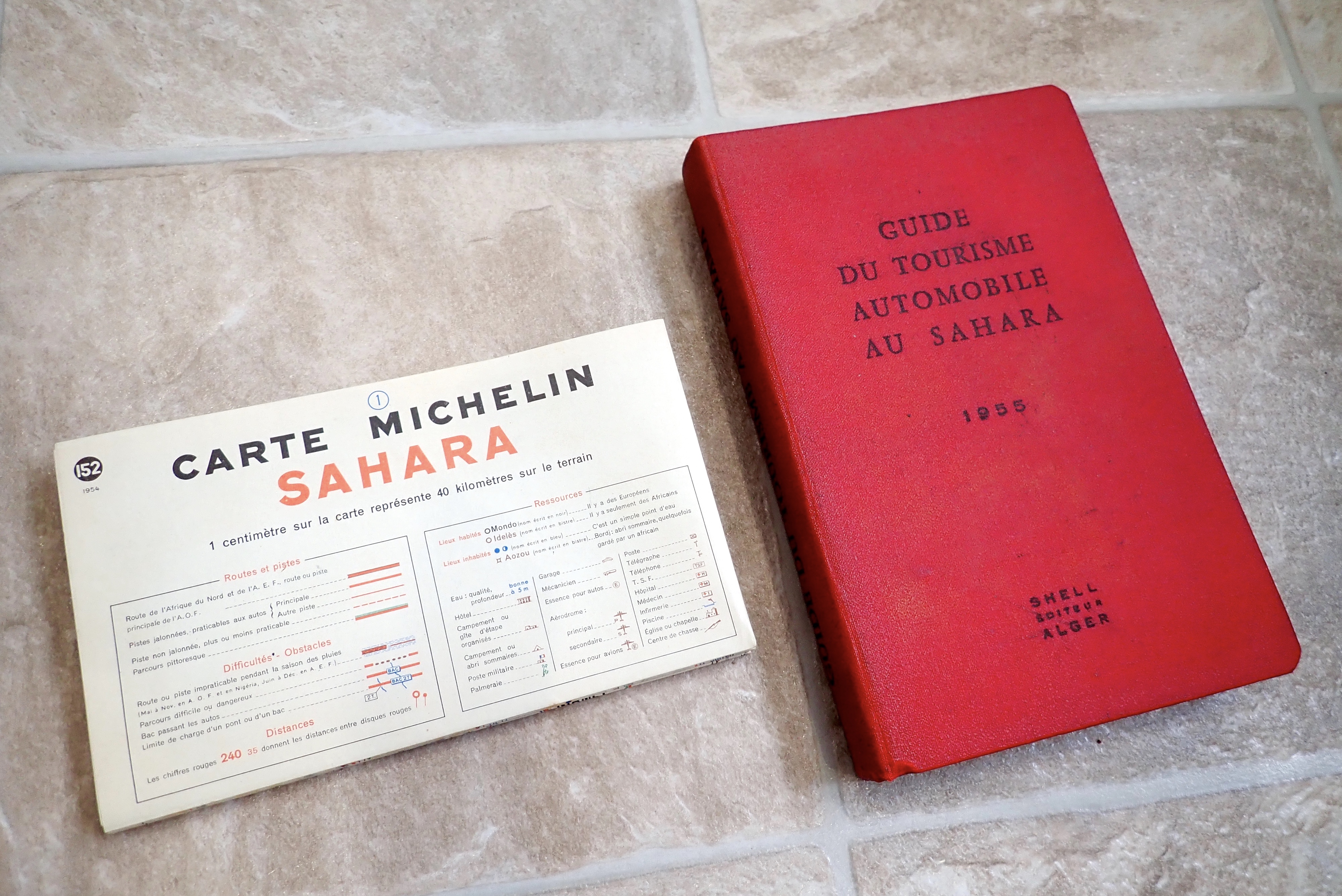
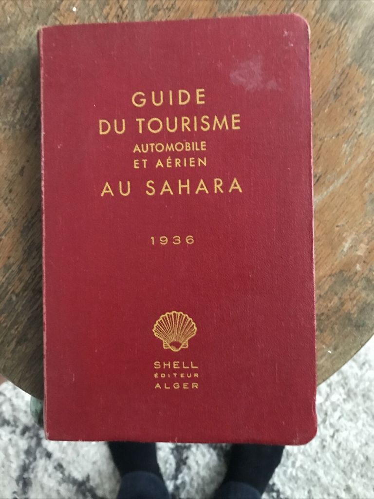
Just a couple of years before these colonies were dissolved and became the independent countries we know today, Shell released its fifth and final edition of the Guide du Tourisme Automobile au Sahara. The 345-page book is in French and there are still plenty around; mine cost me €25 from France, althpugh make sure you get the lovely map inside the back cover sleeve.
Originally published way back in 1934 (link to pdf) and just seven years after Shell started distributing fuel in Algeria, it must have been the first guidebook of its kind, preceding my own Sahara Overland by nearly seven decades.

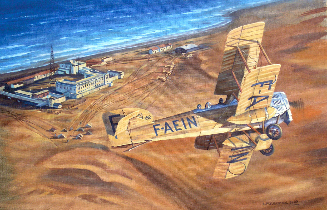
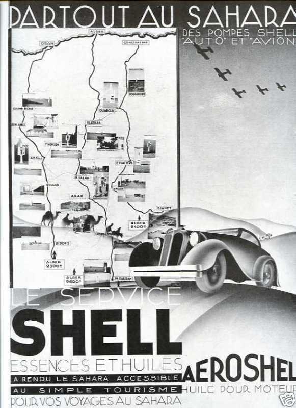
The three pre-war editions (1934-5 pdf; 1936 below and 1938) were thinner books but also covered aerial tourism: fuel and landing strip information. Perhaps back then private planes were still seen as comparable or superior to with cars for getting to remote places. By the mid-50s commercial flying had taken off across the world, and flying around the desert was no longer a thing, unless you were very rich.

Even if it was nothing more than fully funded exercise in self-promotion, it’s still odd that an Anglo-Dutch oil company produced such a presumably prestigious project to showcase an important French colony, especially as it had the feel of an official handbook. In the 1930s Shell became well known for their illustrated guidebooks to Britain; perhaps publishing was not a thing that interested French oil companies like Total and Elf. Only Shell produced guidebooks, although road maps were widely branded by some of the oil companies of the era.

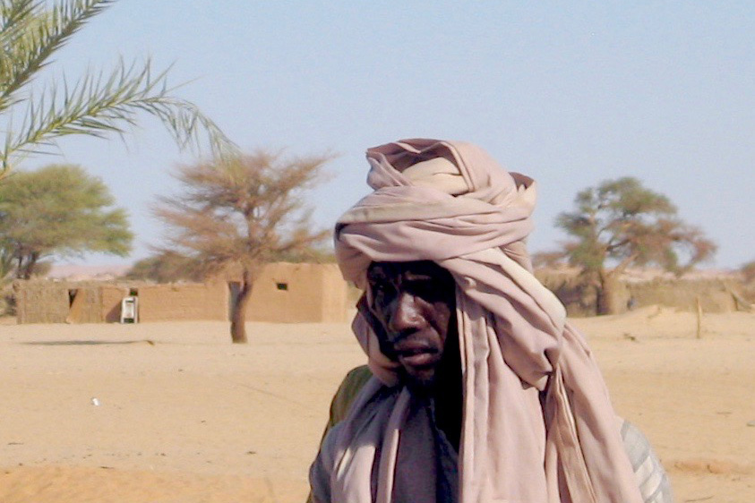
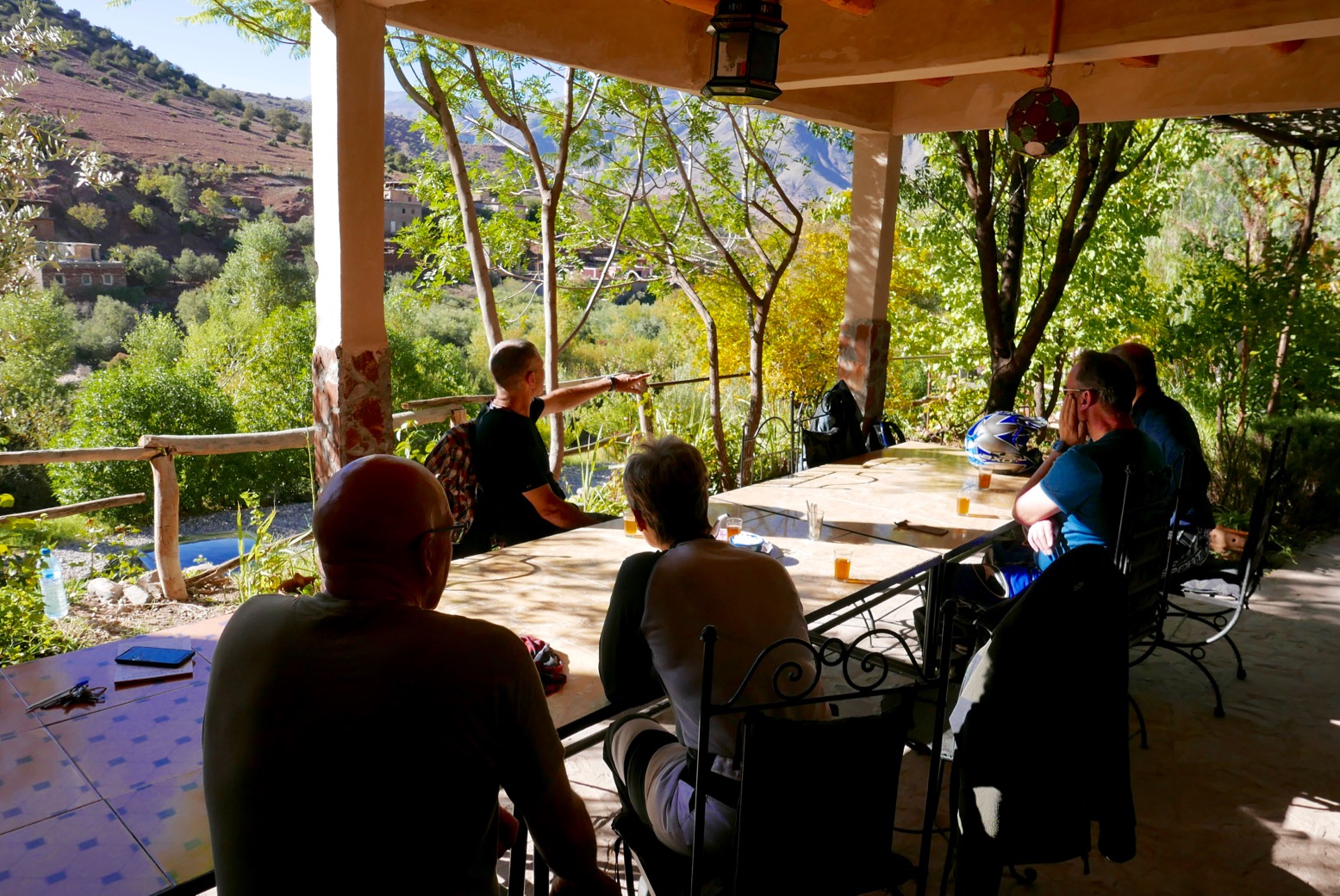
You can imagine the three French women (France Degand, Janine Delbert and Michèle Cancre d’Orgeix) had a copy of a Shell in the glovebox of their Peugeot 206 wagon before setting out their double crossing of the Sahara in 1956 (video below).

https://player.ina.fr/player/embed/CPF86641516/

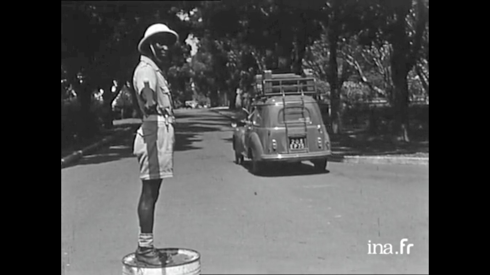
The 1950s were the apogée of the colonial era when, even in the Belgian Congo, trains ran through the jungle on time and roads drivable by regular cars snaked over the equatorial escarpments.
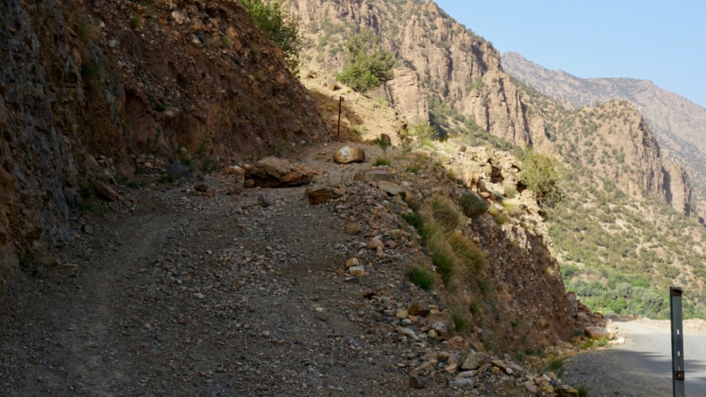
In the Sahara pistes were well maintained, regularly patrolled and for the most part, well marked too. The Sahara still had its rough edges and expansive voids, but had been effectively tamed by the colonial administration, including a desert-wide network of Shell stations: ‘In the Sahara, as in your garage‘ the guidebook boasts.
It was the vestiges of this investment in desert infrastructure which we inherited in the 1970s and 80s by which time the whole region had seen 15-20 years of independent rule. The Shell emblem was long gone, replaced by nationalised fuel companies distributing the commodity with had become integral with global progress and development.

The Guidebook

Until 1939… the book starts… conditions for the harmonious development of winter tourism were coming together in the Sahara. Excellent temperatures, admirable sites, distant horizons, interesting populations, verdant palmeries [and] distinctive architecture: behold the country.

It then goes on to introduce the Sahara, using a flowery style which I’ve seen in more recent French guides to the Sahara. The book doesn’t miss a chance to include an exposition of the magnificent French achievements in the Sahara since 1919.

A year after this edition was published, after decades of searching (during which time French explorer and geologist Conrad Killian mysteriously met his death) prospectors finally struck oil in Edjeleh near In Amenas, and a short time later in Hassi Messaoud. By the end of the next decade Algeria became a major oil producer in North Africa.

It’s interesting to see how the content of the guidebook conforms with a modern day equivalent: a geographical breakdown of the desert’s geology, relief and topography, river courses and wells; ethnicities add up to either Arab or Berber, with pre-colonial history leading to exploration, colonisation and pacification right up to the period of the automobile and the aeroplane.

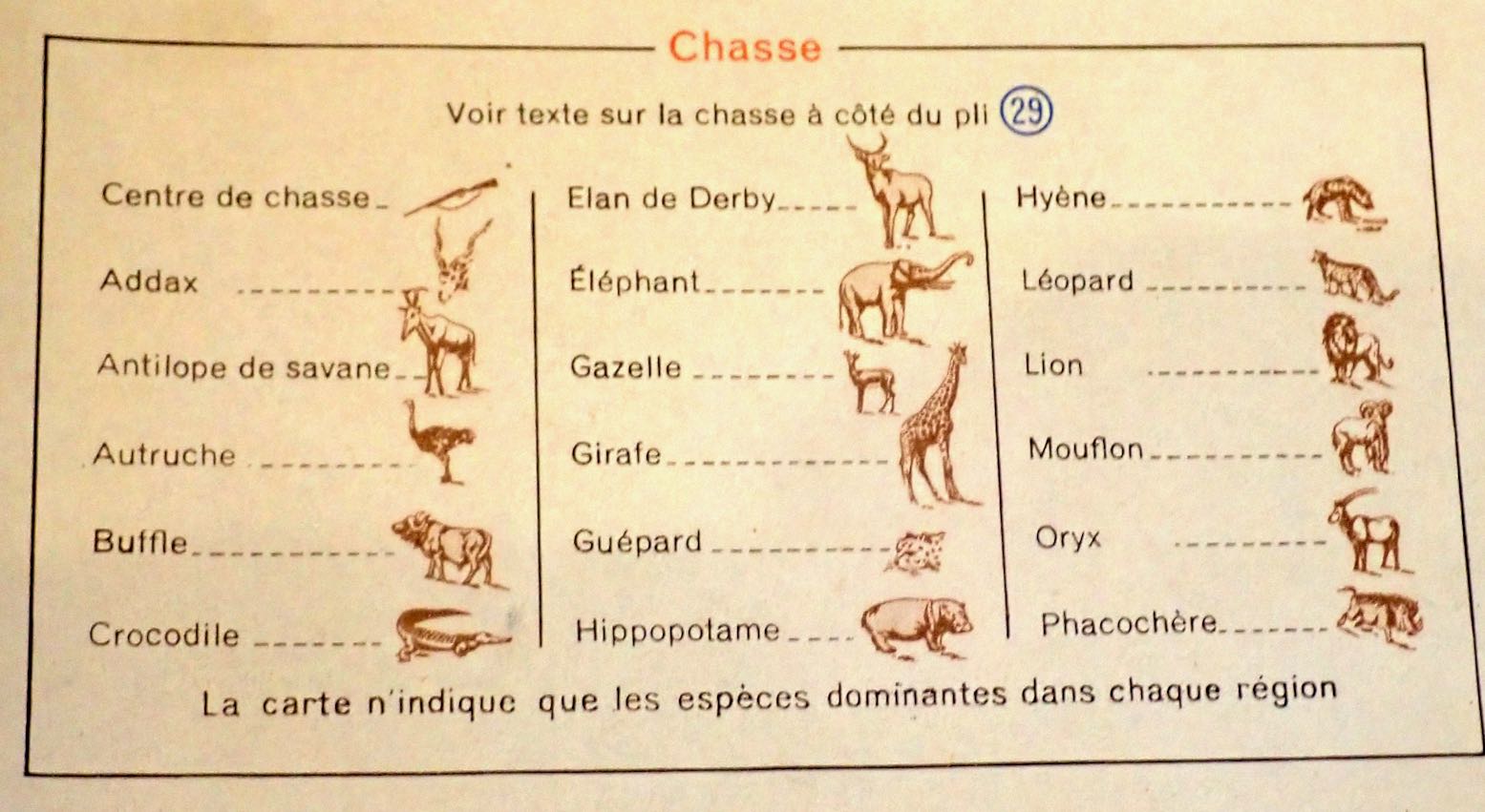
Short sections cover local artisans and the souvenirs they made, a bibliography, recreation and sports and not least hunting for hides, heads, horns and ivory. Happy days!


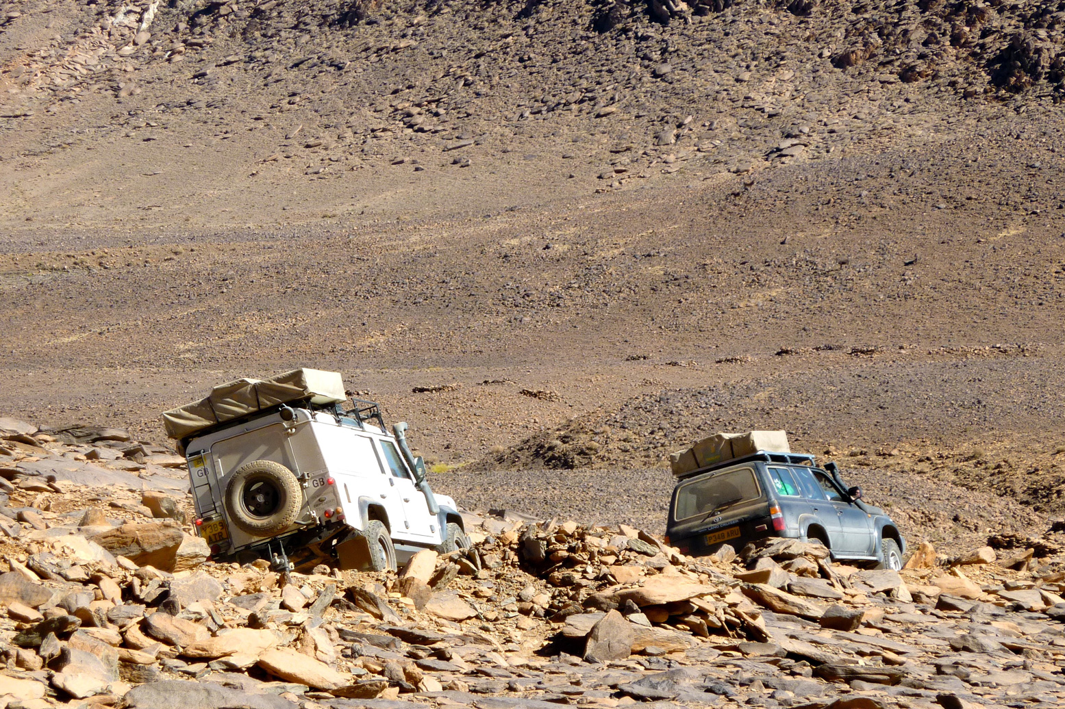
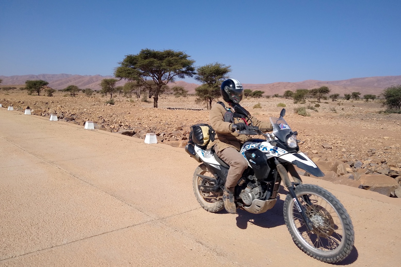
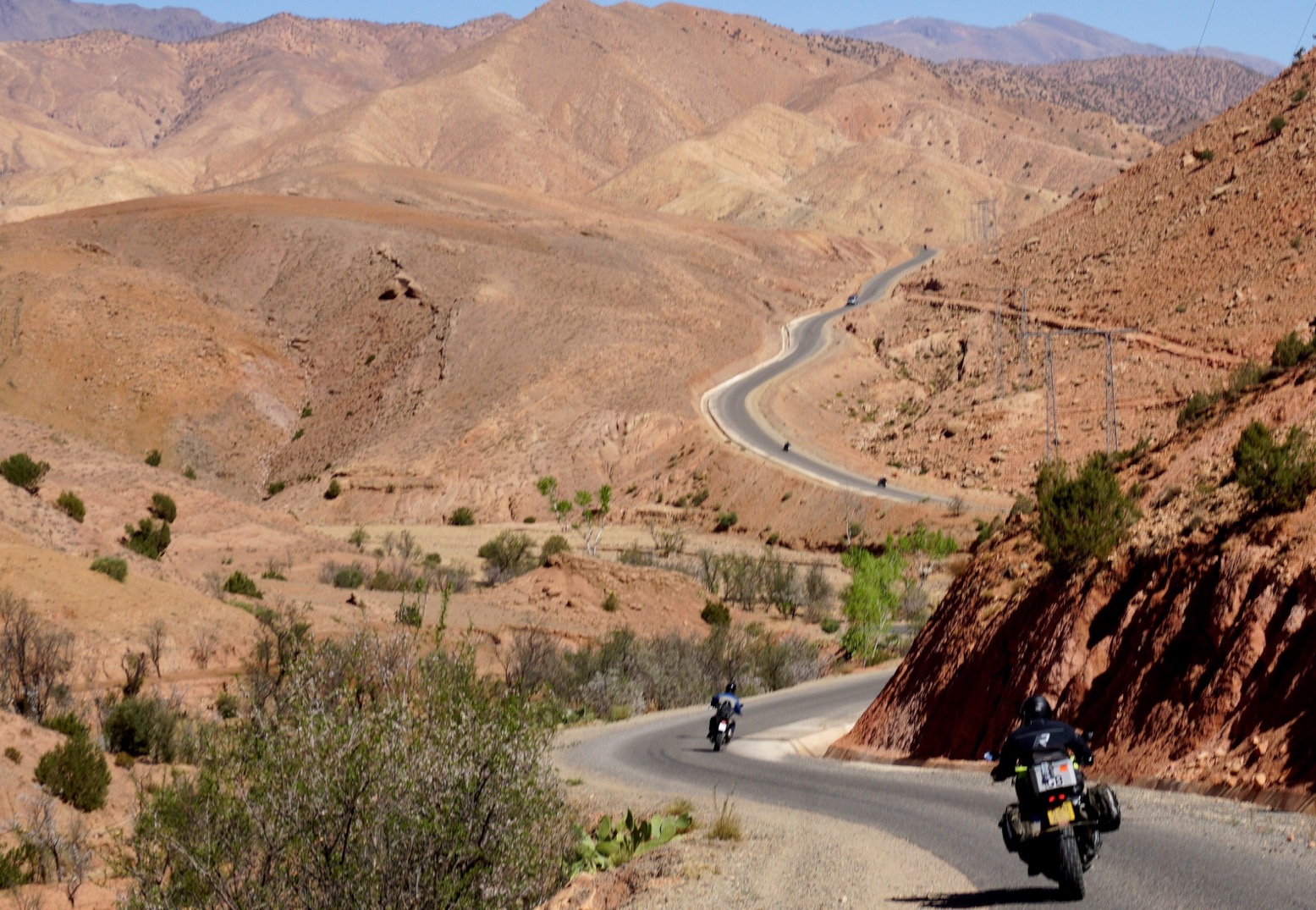
As for vehicle choice, the guide advised not to worry about using touring cars, by which I think then meant a regular RWD sedan or estate, like the Peugeot 206, above. Rightly it said the 4x4s of the time: Land Rover, Jeep, Willys and the near identical Delahaye V.L.R were significantly less comfortable.

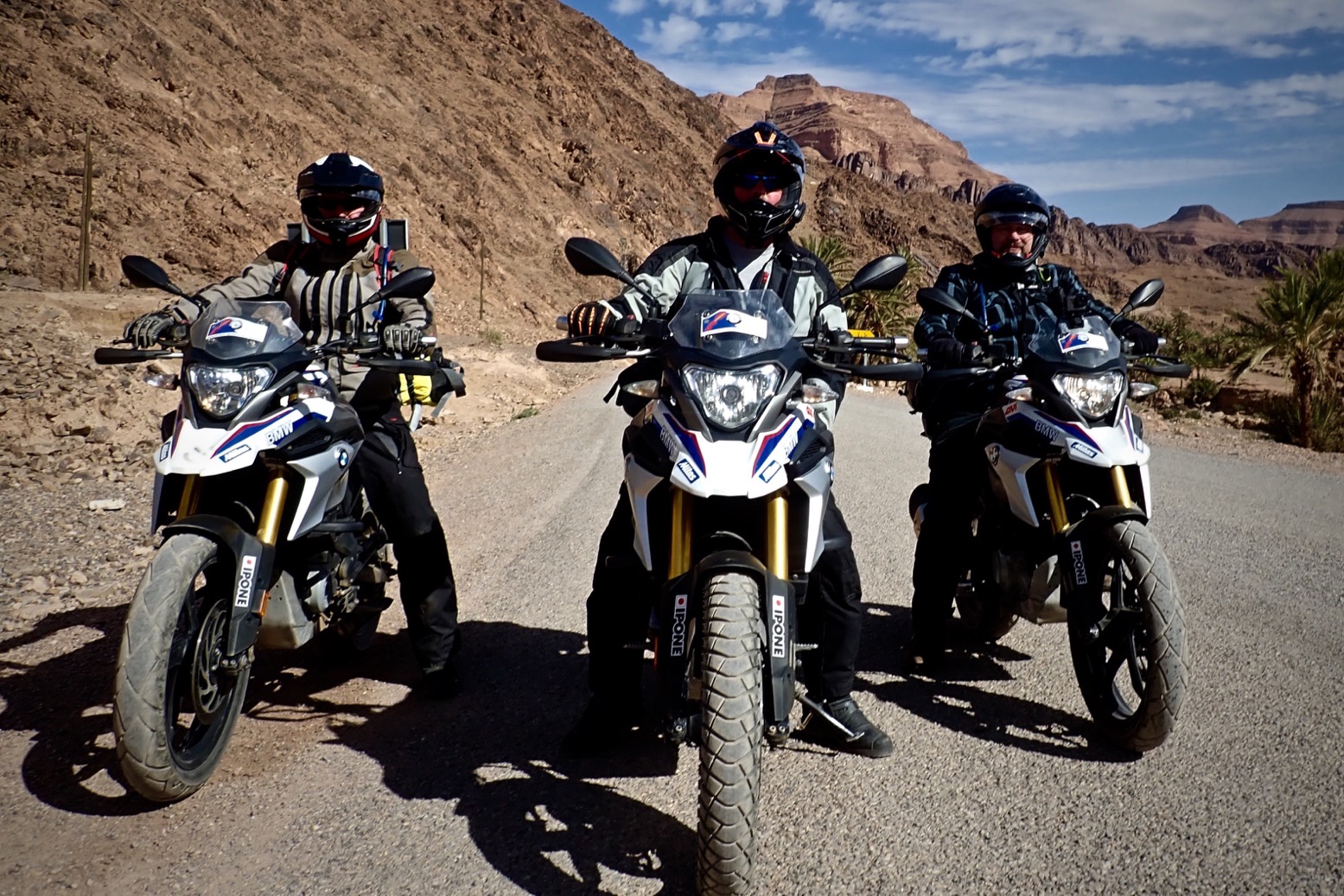
It’s worth recalling that many regular cars of that era had bigger wheels and better ground clearance – garde du sol – ‘an important factor in vehicle choice‘… ‘Consider fitting bigger tyres, but not too much or you’ll stress the transmission and steering.’ ‘Power to weight is also a factor for tackling soft passages.’ …’avoid dual rear wheels…’ It’s interesting to see all these strategies were well known, even back then. It does however list a long and very heavy list of spare parts. Durability must be one thing that’s improved over the decades. In a way today’s SUVs have similar characteristics, but of course no one would consider taking one somewhere as outlandish as the Sahara, not least because 4x4s have improved to become much less utilitarian.

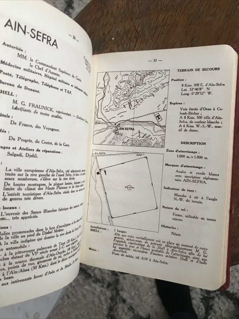
Code Saharien de la Route
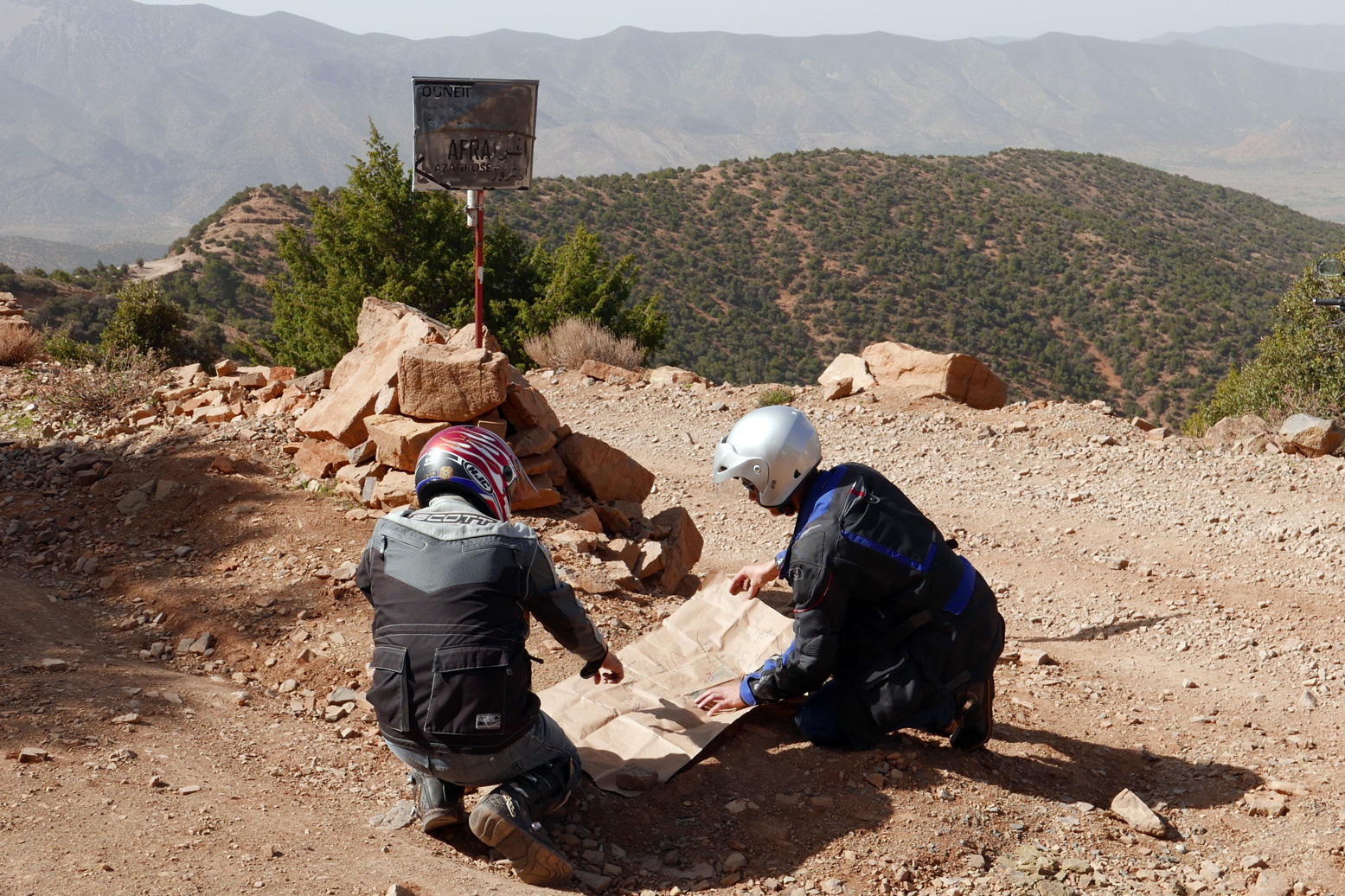
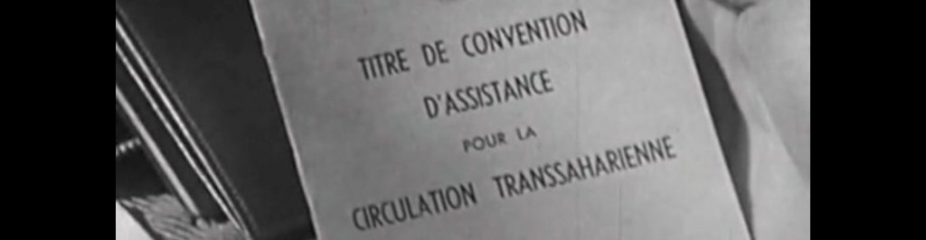
In that time of French control a detailed list of safety protocols needed to be followed before before setting off along a piste. ‘Pour votre securite‘ as they used to say to us in Algeria where the system endured into the 1980s (but without any actual back-up or support; you were on your own). The Code was a check on whether you were equipped to tackle what lay ahead, followed by the requirement to check on on arrival. If you followed the rules and were overdue, they’d come and look for you. You also needed some sort of contract with a local recovery service in case of a breakdown. The last 40 pages of the book detail the full list of these requirements for each of the three territories.
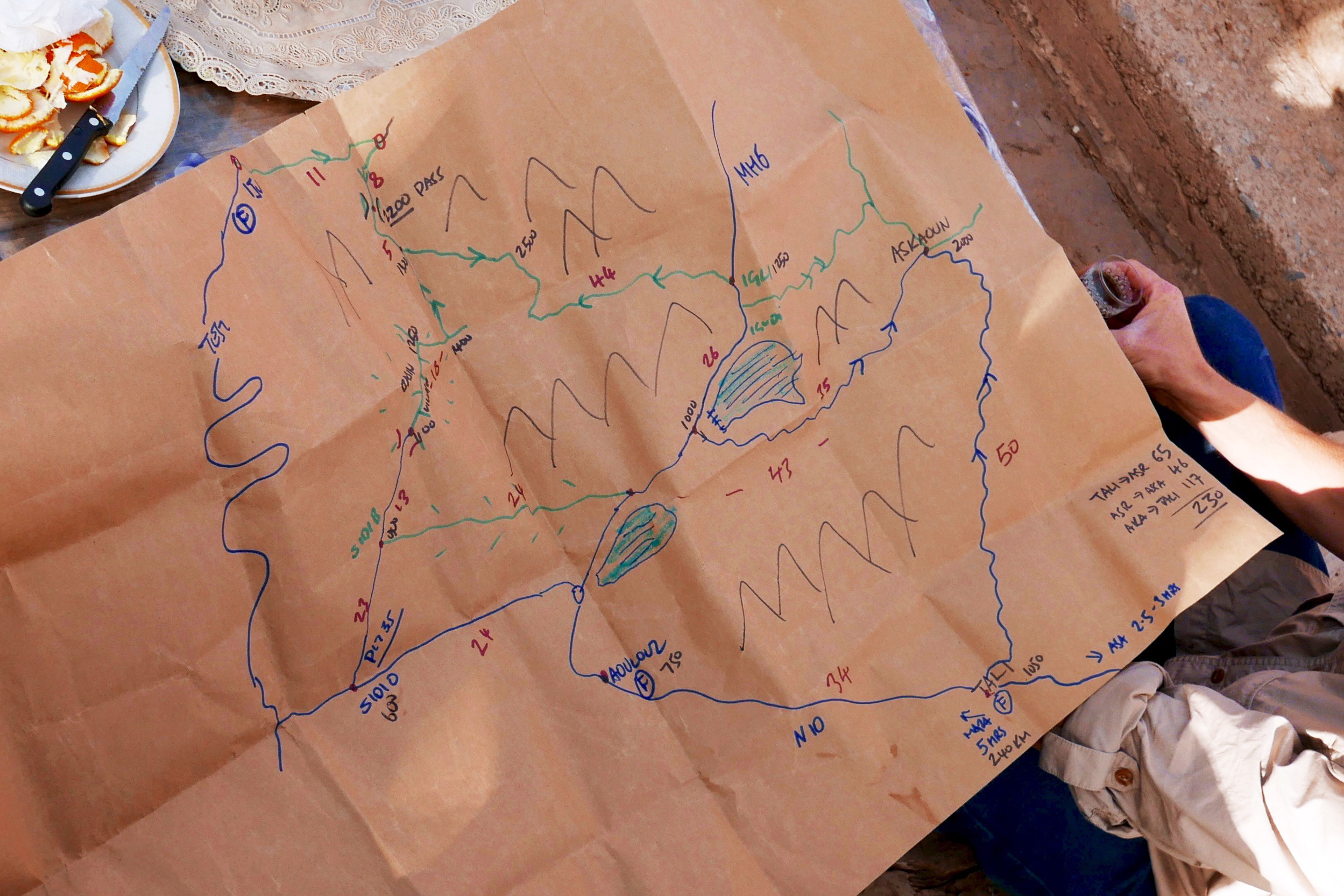
The Itineraries

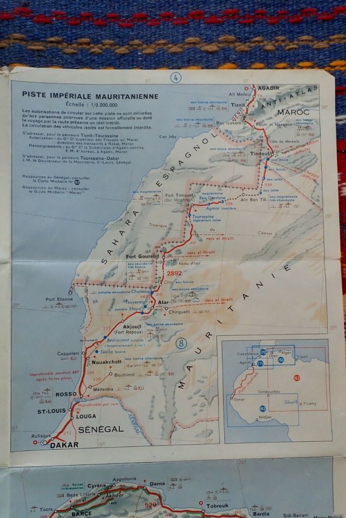
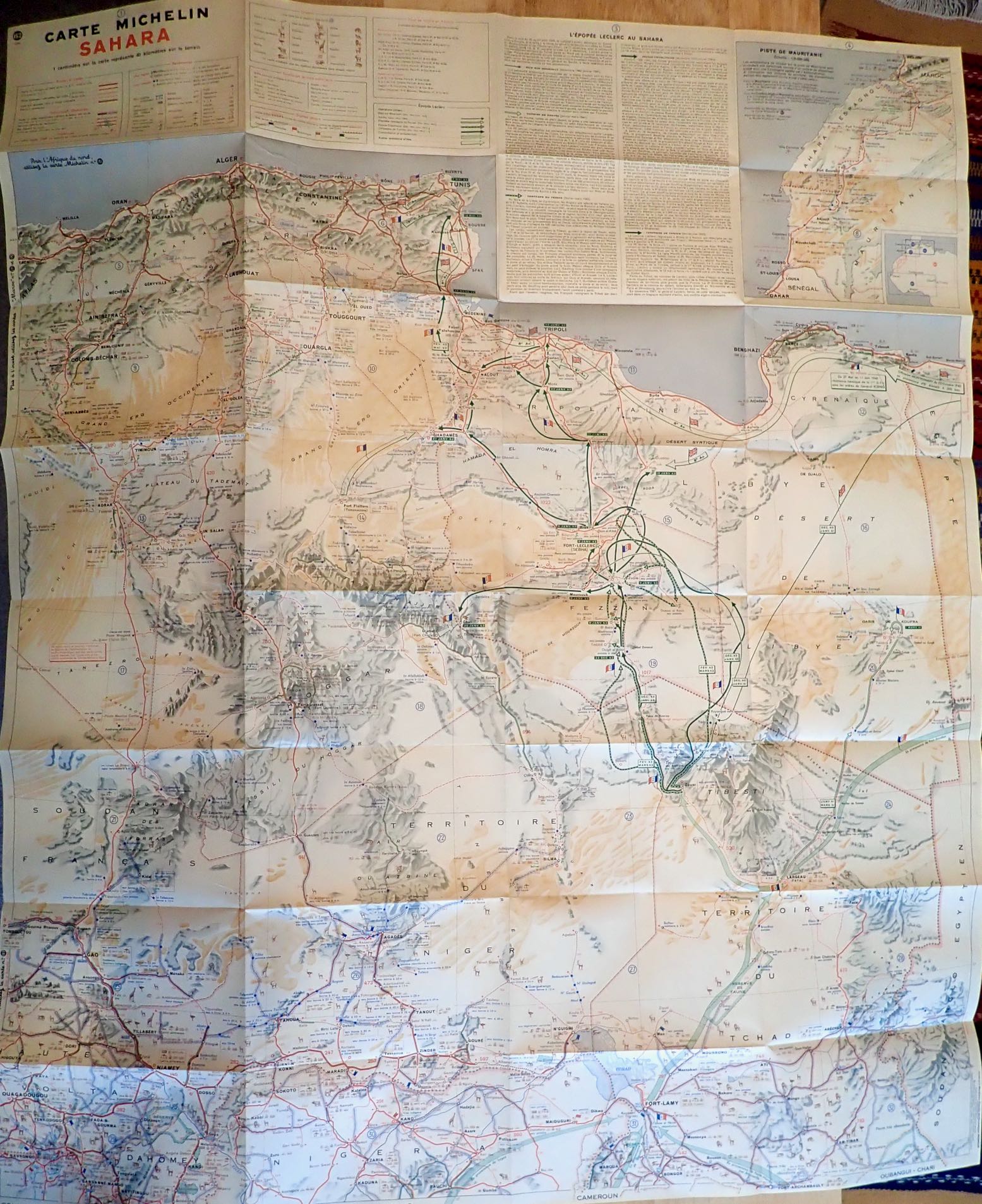
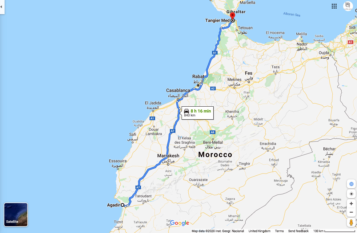
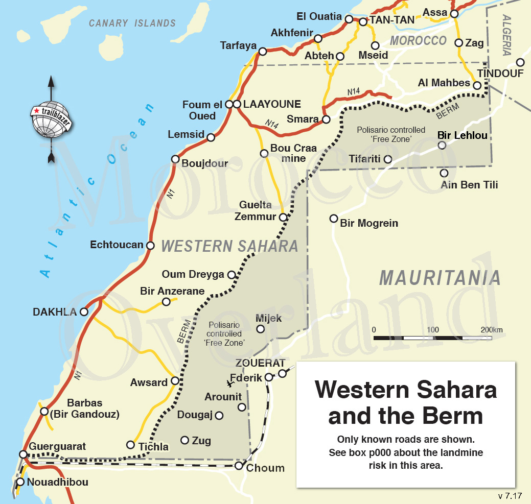
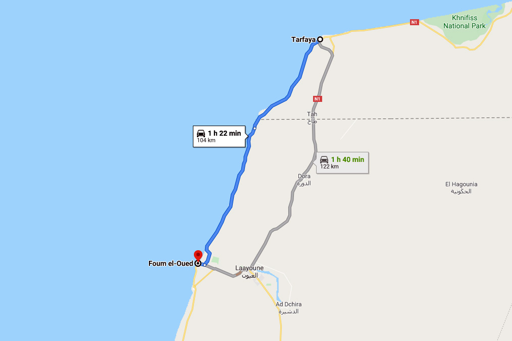
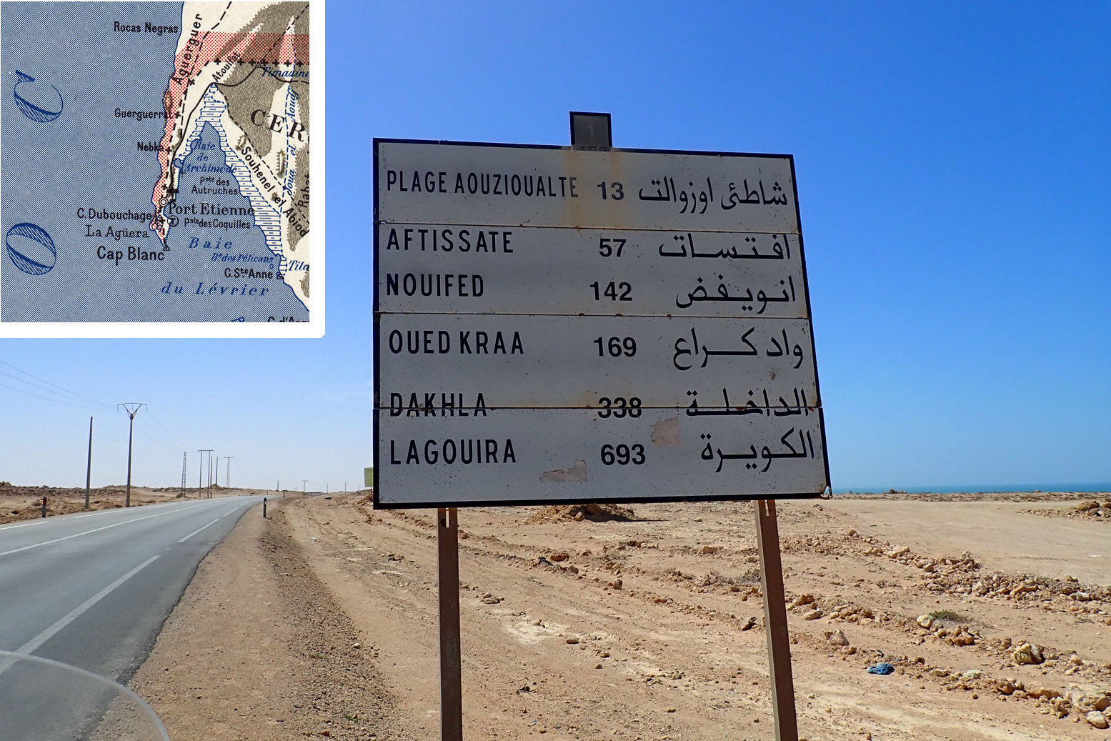
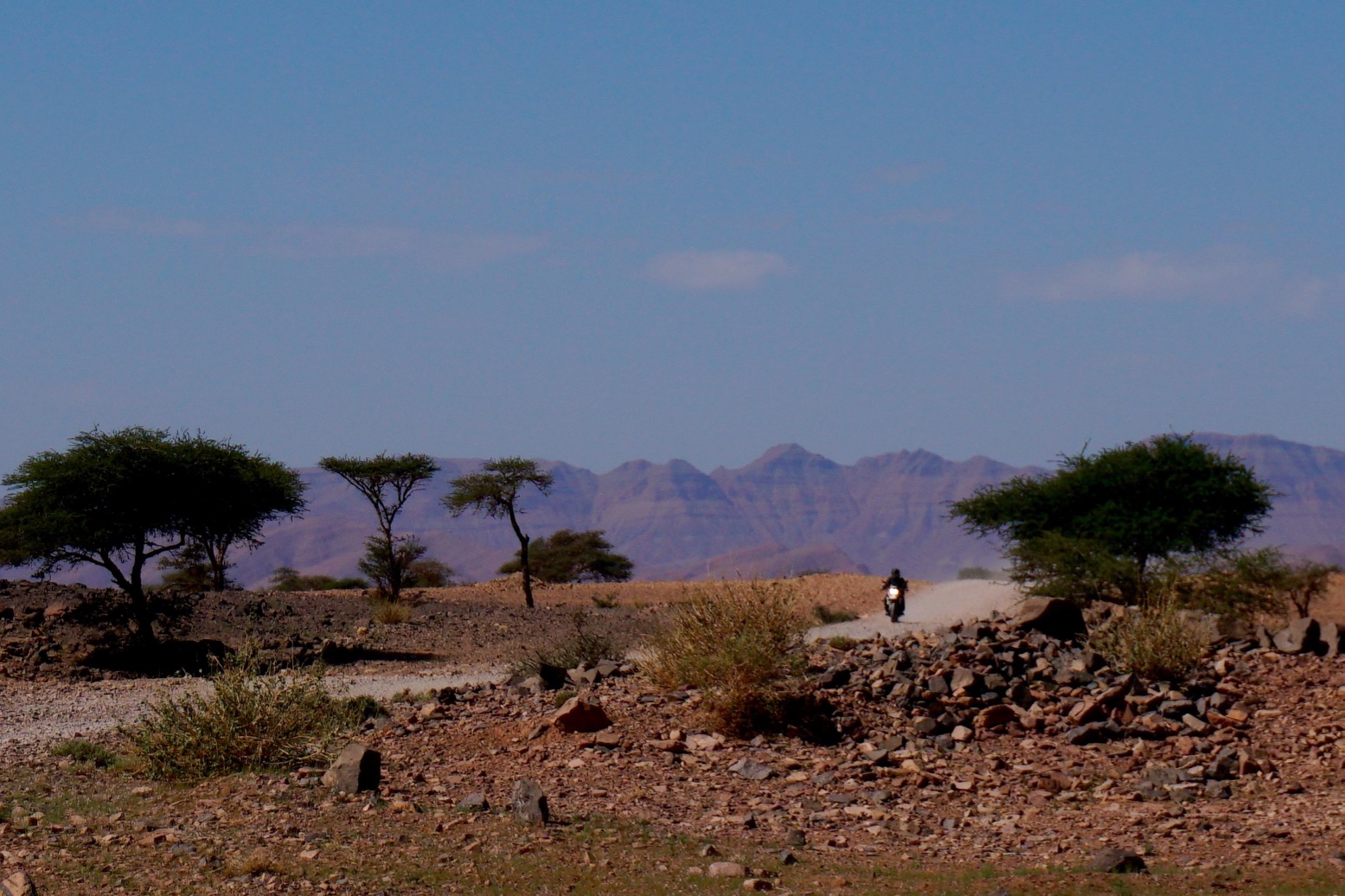
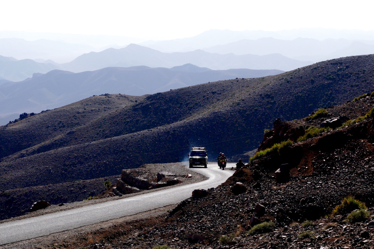
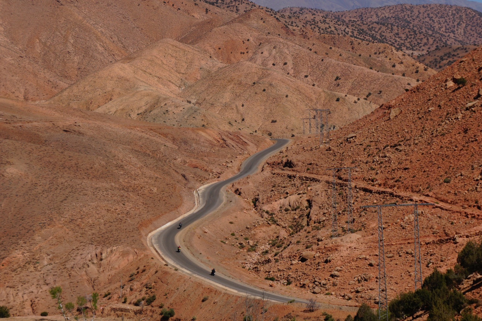
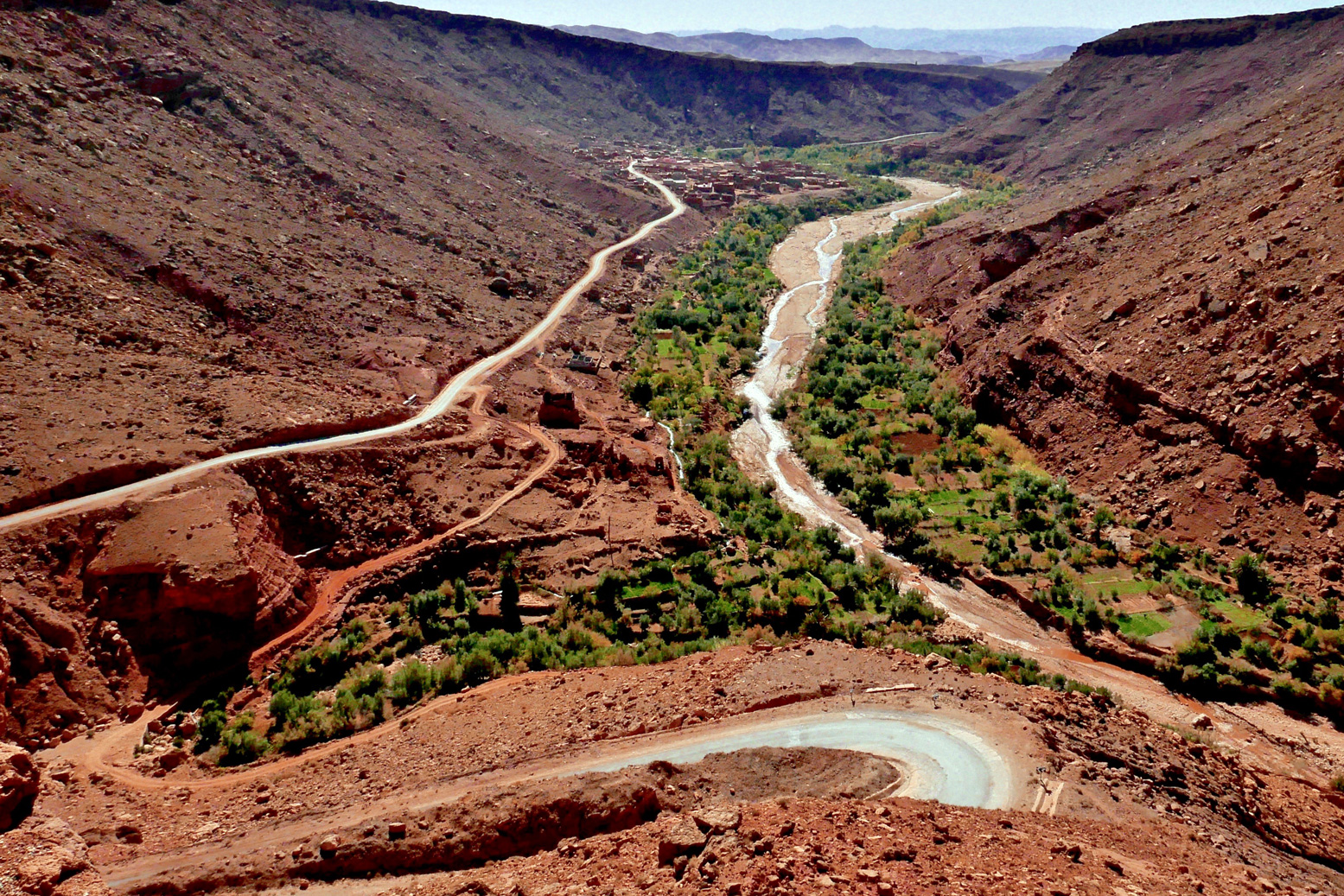
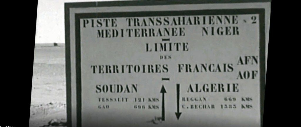
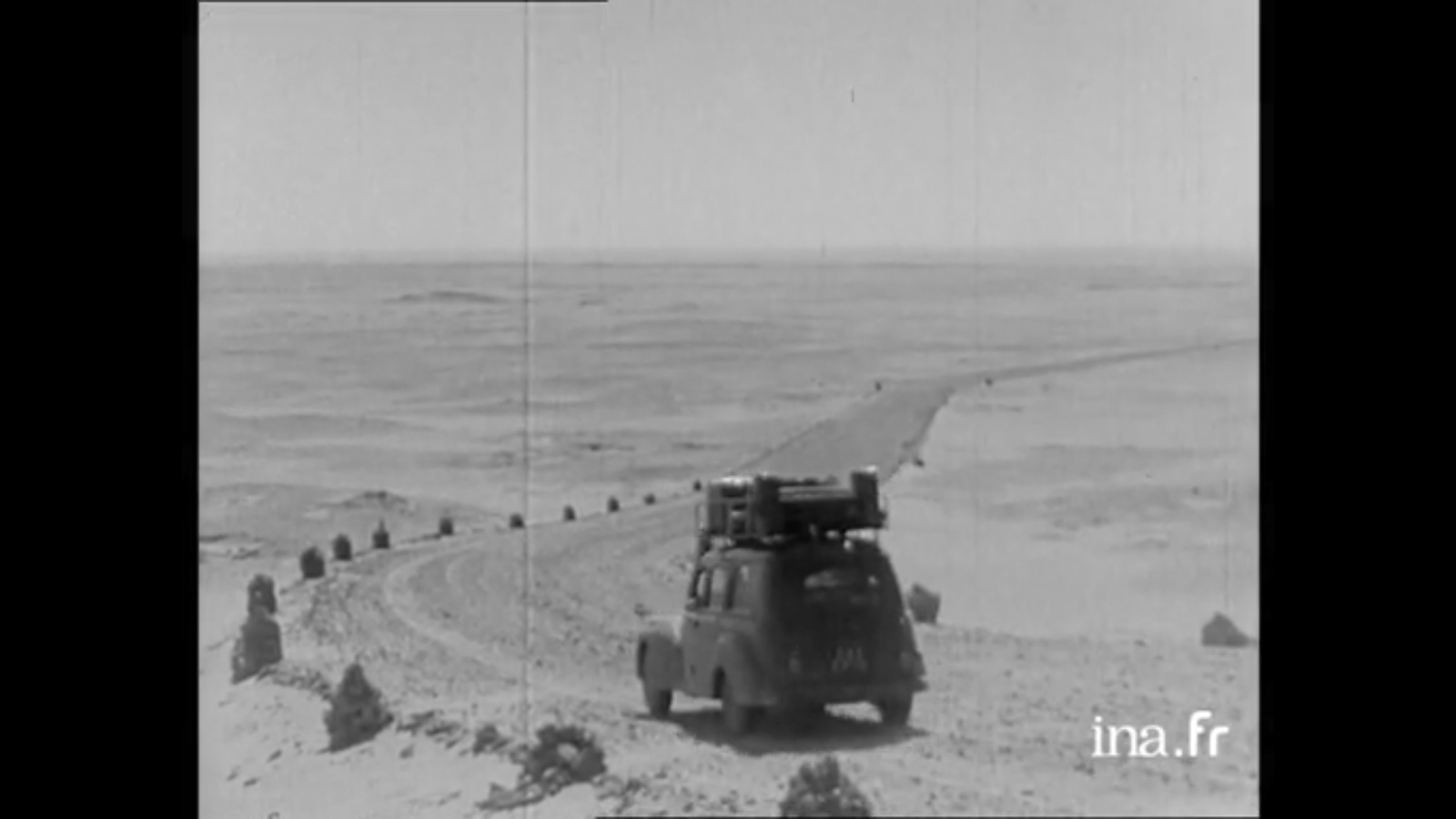
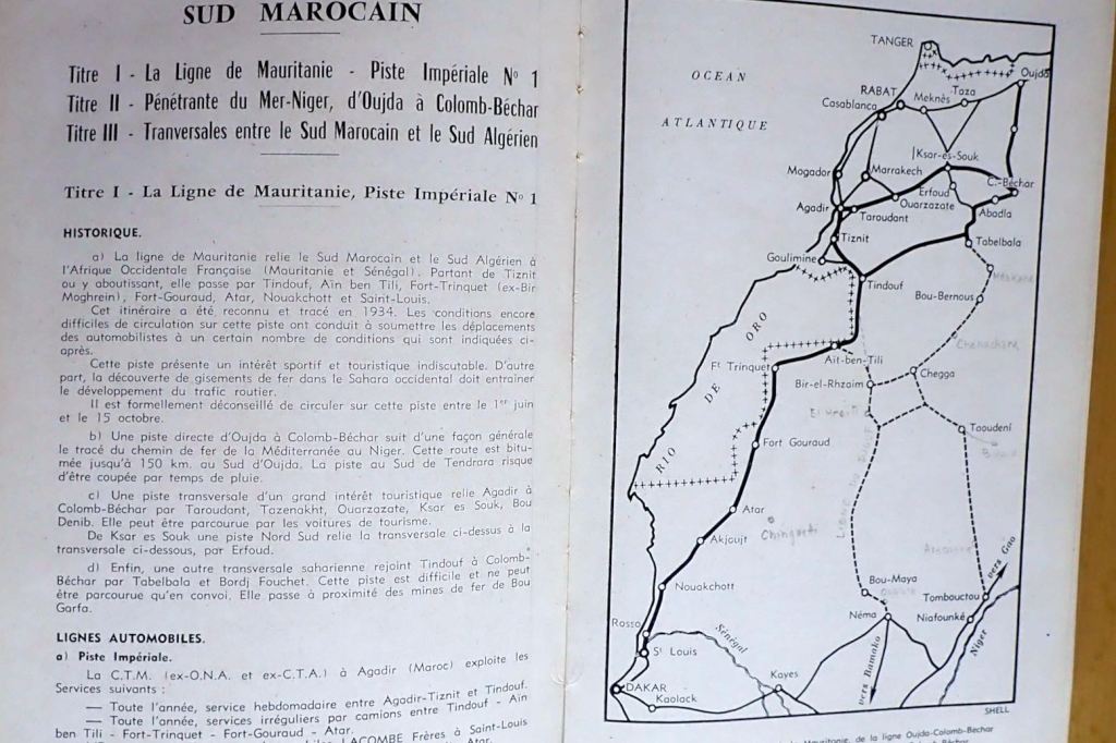
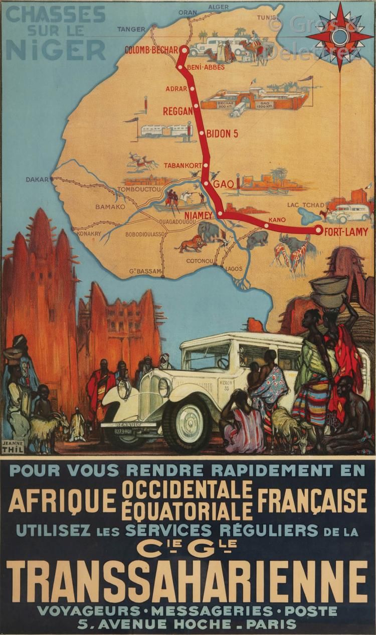
The route guide breaks down the Sahara into four sections: southern Morocco along tracks which are now mostly roads. Then came the grandly named Imperial Tracks, starting with N°1: the Mauritania Line (above) which was recently reopened by Algeria. Back then, this was the direct route through all-French territory from Tiznit in Morocco or Colomb Bechar in Algeria, to St Louis or Dakar which circumvented the Spanish Rio de Oro colony on the Atlantic coast. Closed between June and mid-October, this was also the ‘Forgotten Path‘ which David Newman followed in his Ford Corsair touring car in 1959, just as the territories were breaking up.

The route description for the 2550km from Tiznit to St Louis goes on for 15 pages including a few photos and plain maps. It left Moroccan territory south of today’s Foum el Hassan, a small town between Akka and Assa on what I call the Desert Highway in the Morocco guide. I noted a passing reference to ‘Merkala‘; an escarpment watchtower marking the border between Morocco and Algeria which still survives as the enigmatic ‘Tour de Merkala’ on the Michelin 741 map.
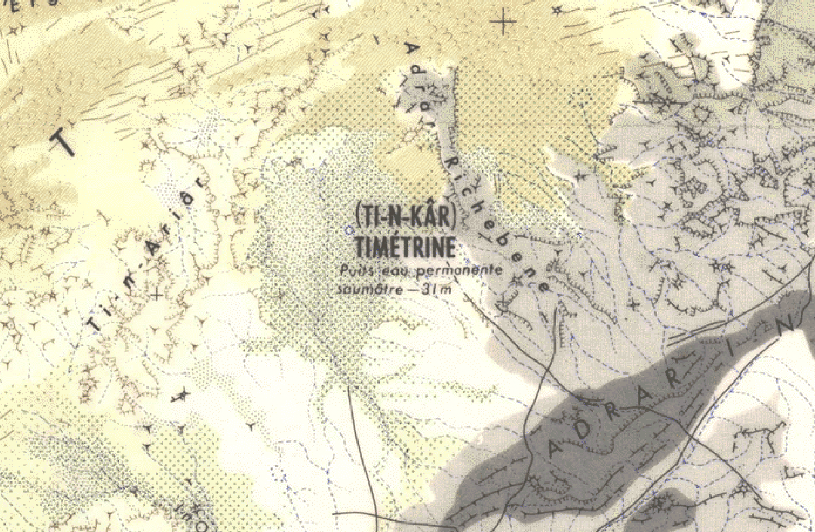
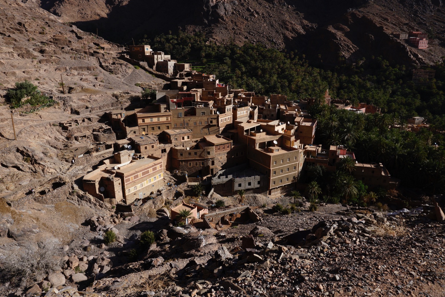
In Tindouf we learn that prior to the French establishing a garrison in 1934, the settlement, had been abandoned for three decades due to persistent raids by the nomadic Reguibat. The Berbers must have welcomed a bit of law and order.
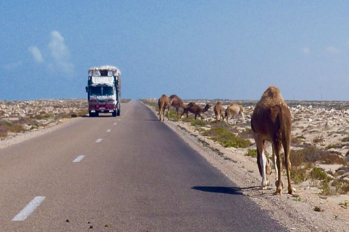
From here the lonesome track led to Ait ben Tili on the Spanish Sahara (today’s PFZ) border, with balises (marker posts) every 5km, but plenty of tole ondulee: ‘corrugated iron’ or washboard/corrugations to you and me. Like today, there’s nothing much for the traveller at AbT. Back then wild game added up to gazelles and long-gone ostriches. Once you got to Fort Trinquet (Bir Mogrein) you could add moufflon and leopards to that list.

From here it was 405km south to Fort Gouraud (Fderik) and the piste was poorly marked, sandy and rutted. The old route ran for another 310km from Fort Gouraud via Char fort to Atar didn’t get any less sandy, and the iron ore railway was still another 8 years away. Maybe a touring car, even with good clearance, wasn’t such a good idea after all.

Imperial Track N°2 was the Tanezrouft Line from Colomb-Bechar to Gao on the Niger river. This was the route chosen by the first cars to cross the Sahara in the early 1920s. It’s interesting to see how quickly the commercial drive towards tourism follows what was once terra incognita. You could say we’re seeing the same today in space; something which would have been hard to imagine in the middle of the Apollo programme.
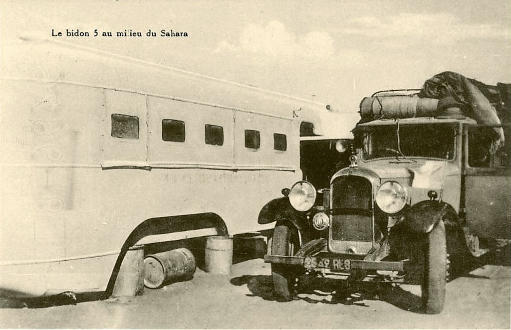
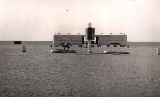
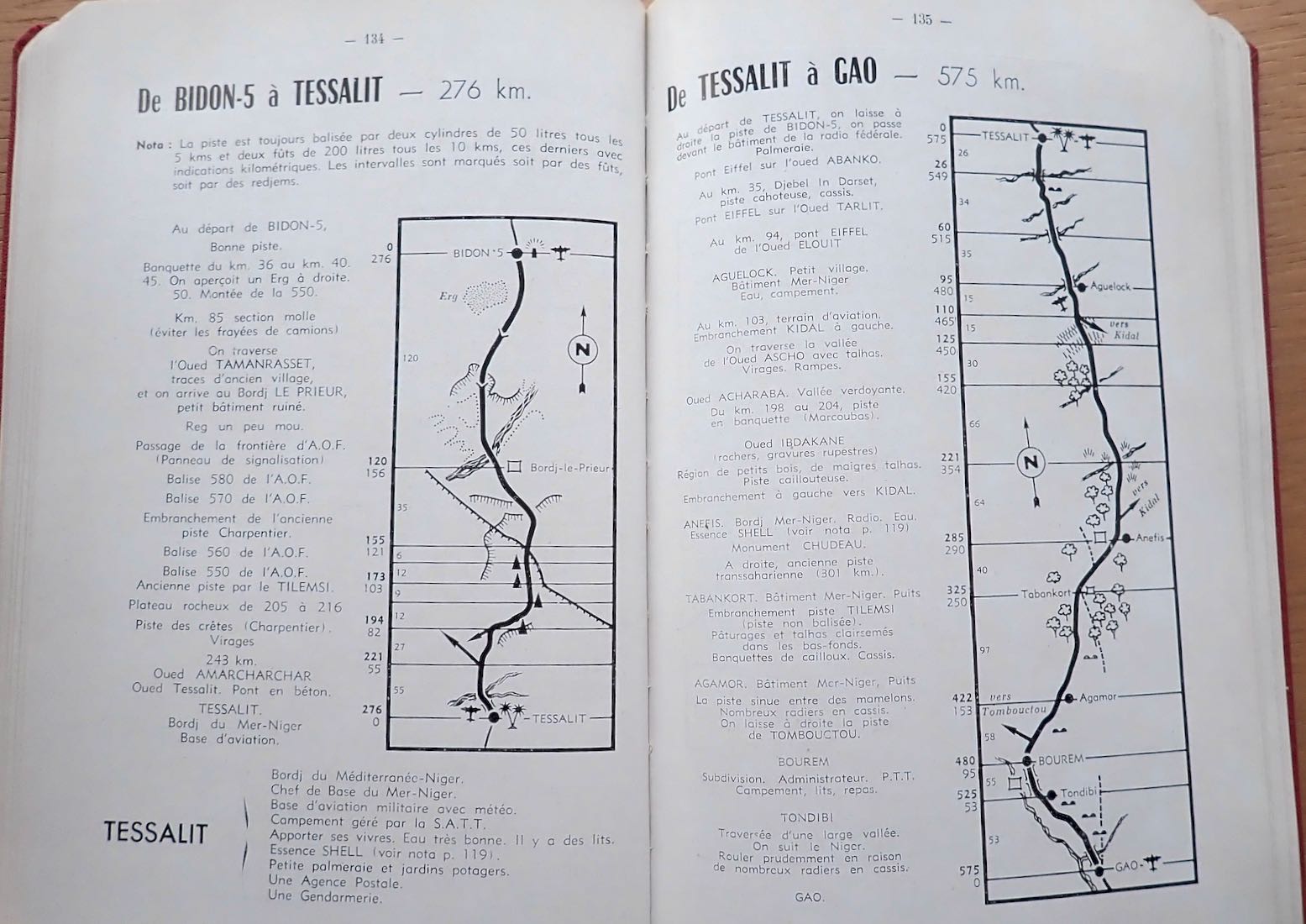
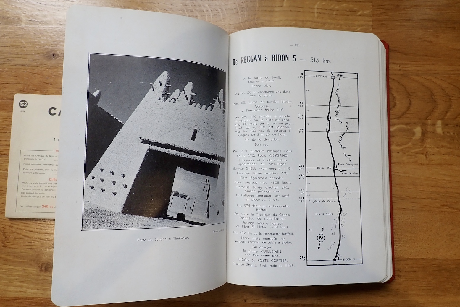
It was on this desolate route that Bidon V (‘Oil drum 5’, below) made a name for itself as a desolate travellers way-station between Reggane and Tessalit in present day Mali. At one point the lighthouse shone into the night, planes could land for a refuel and a couple of bus bodies where parked up on oil drums to provide lodgings for passengers the Mer-Niger bus route.

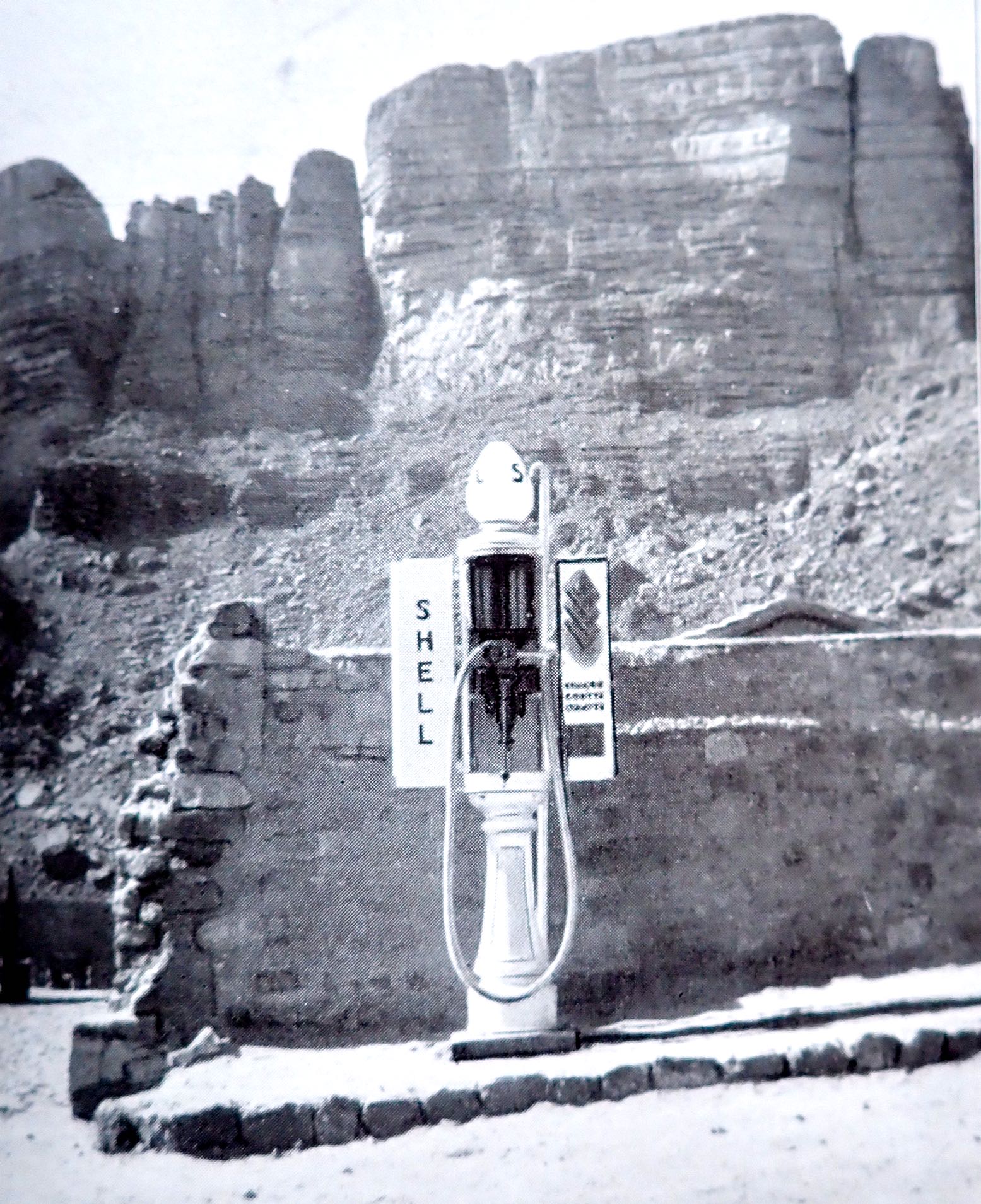
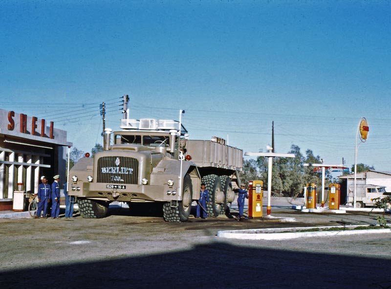
The book continues with other well known routes in the Algerian Sahara, though not exactly what we have today. Imperial Route 3; the Hoggar Line – today’s Trans Sahara Highway – ran further east between El Golea to In Salah, and again on to the Arak Gorge where a friendly Shell bowser (left) stood by at your service.

From Tamanrasset, excursions up to Assekrem along today’s route were already established (fold out map included), and the now paved track to the border via Laouni was the same, but once in AOF, the track went straight to Agadez via In Abangarit to the south. It was on this route that the drama vividly described in Trek, met its climax. There was no Arlit until uranium was discovered there about 15 years later. Zinder, close to the Nigerian border, was the end of that road.

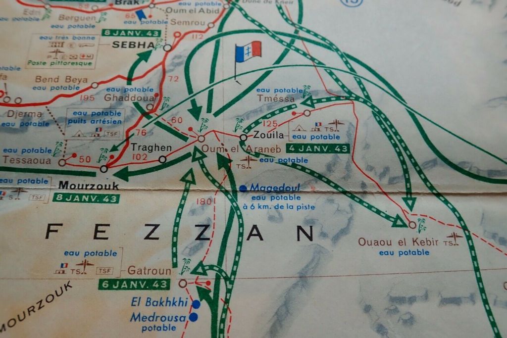
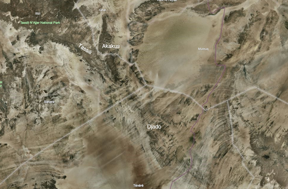
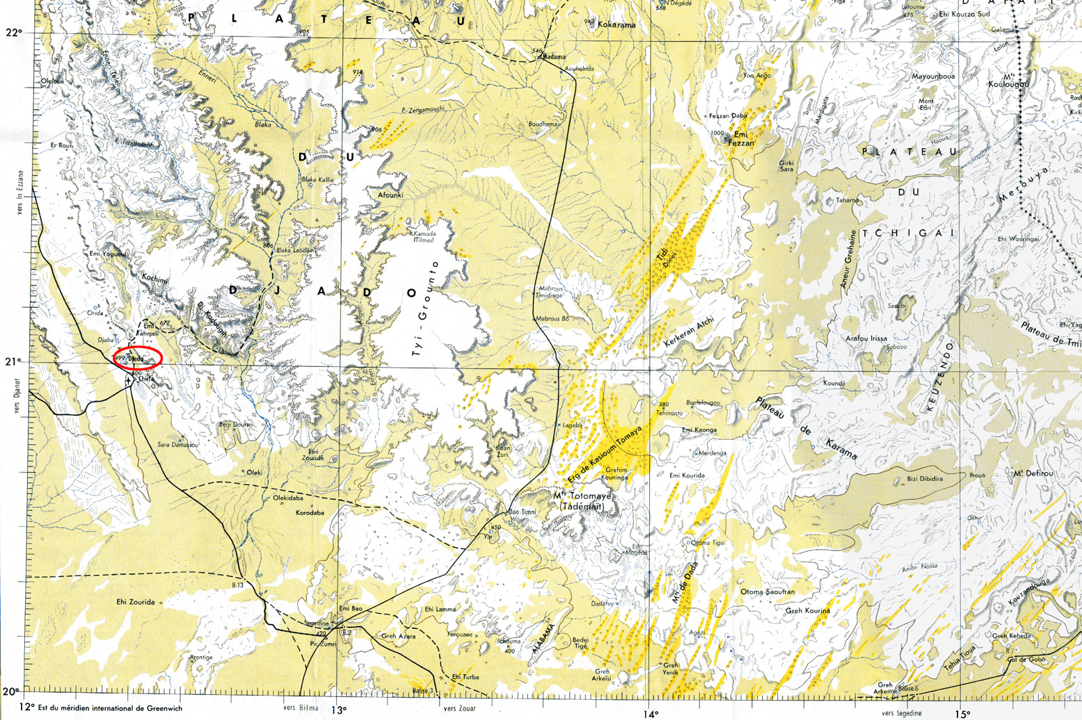
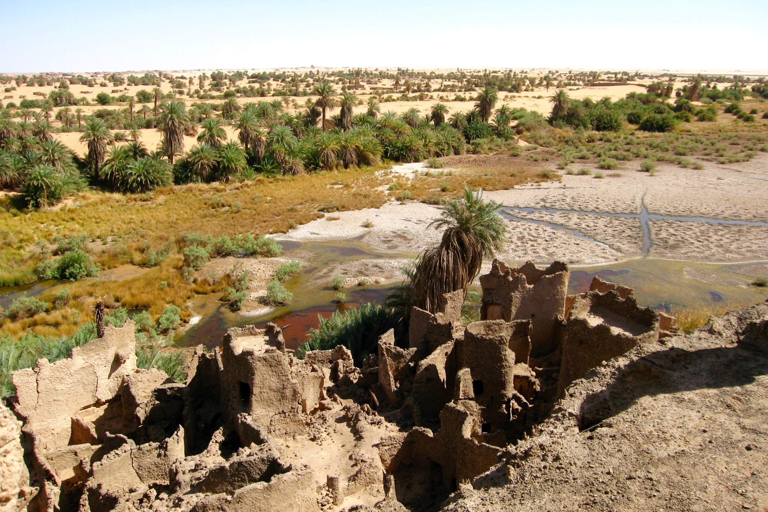
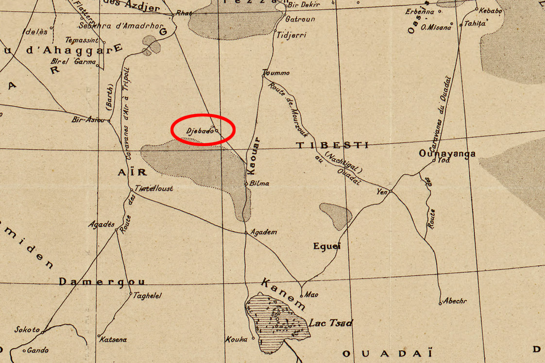
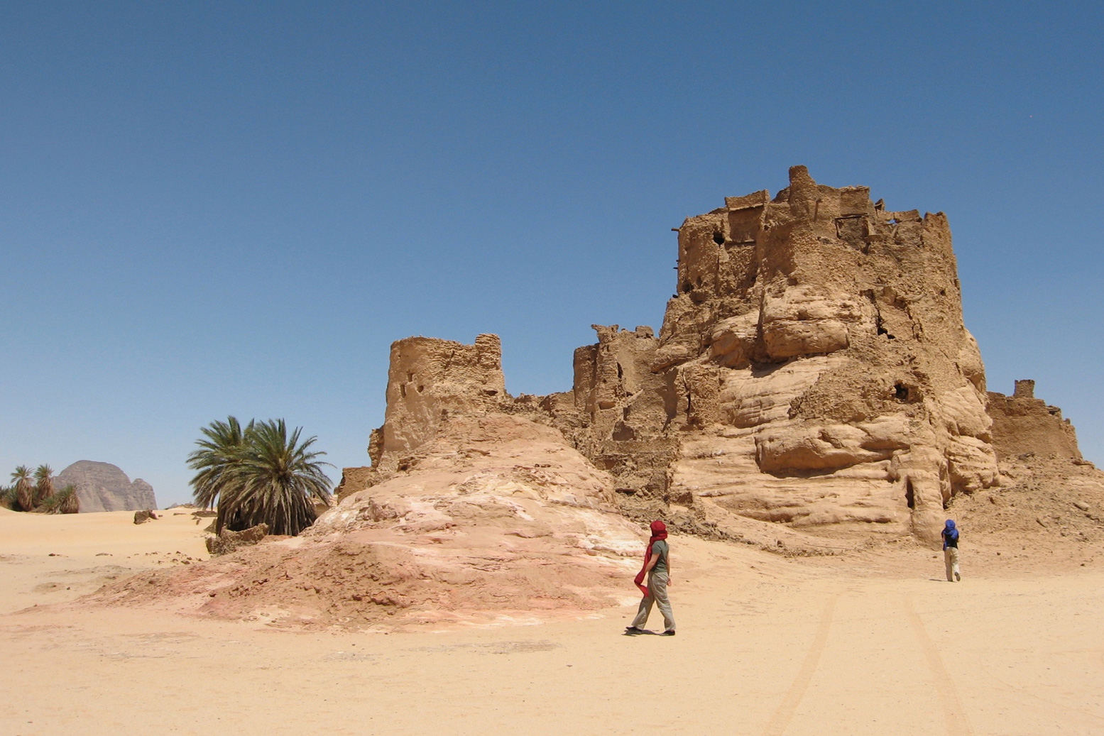
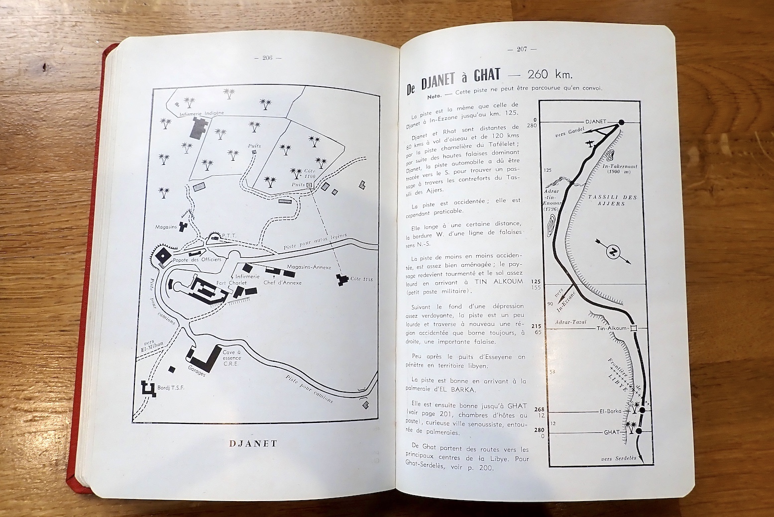
The Ajjer and Tibesti Line was Imperial Route 4: from Biskra all the way to Fort Lamy (N’djemana) in Chad. From Djanet the route dropped down to Bilma, the long established administrative capital of the eastern Tenere, before you back-tracked north to Seguedine to head east for Zouar, Faya and even Fada before turning down to Abeche and Fort Lamy. This was the route which the lavishly equipped Berliet expeditions of 1960 sought to open up for trade, just as France’s overt control over the Sahara slipped away.

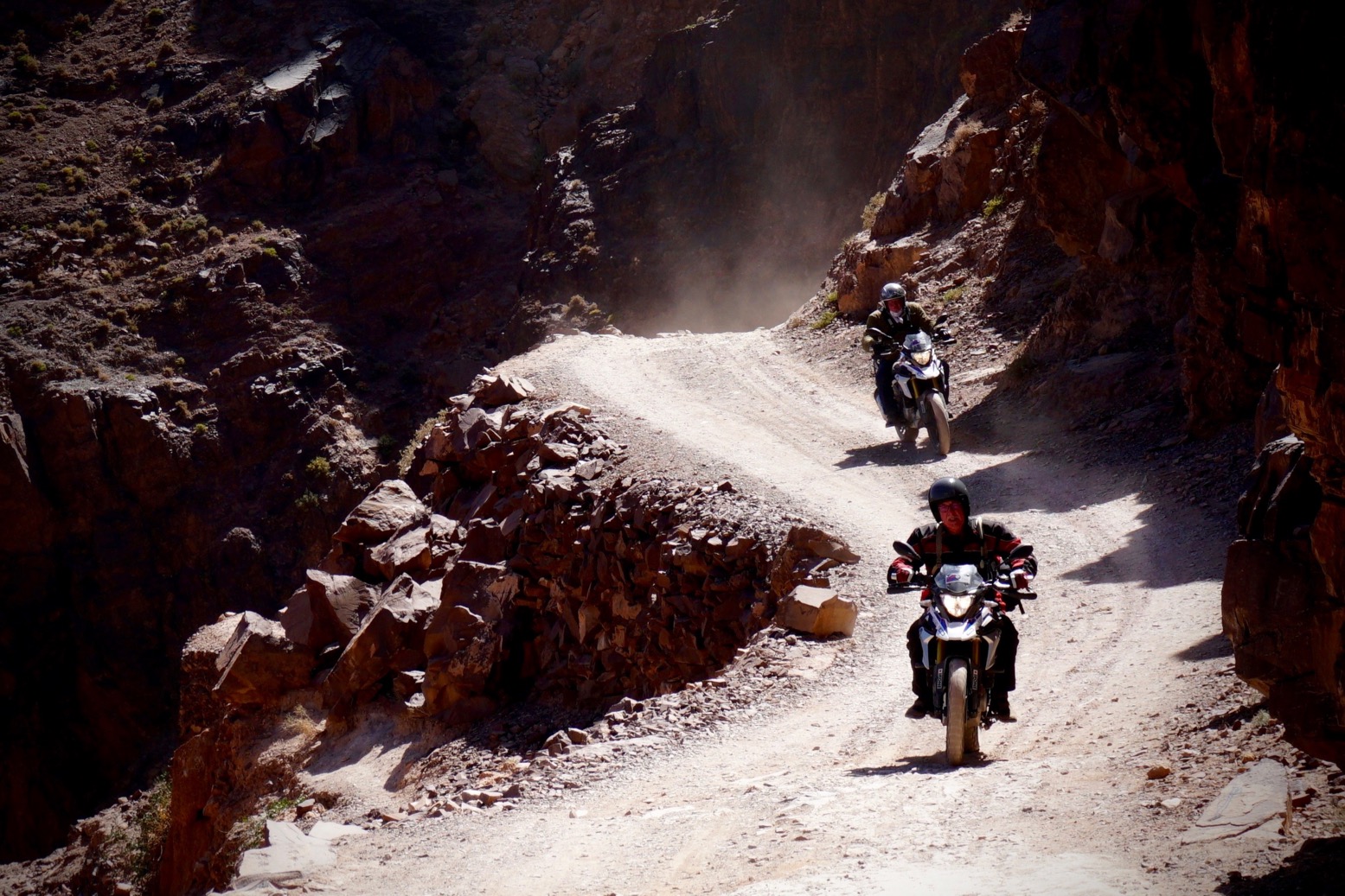
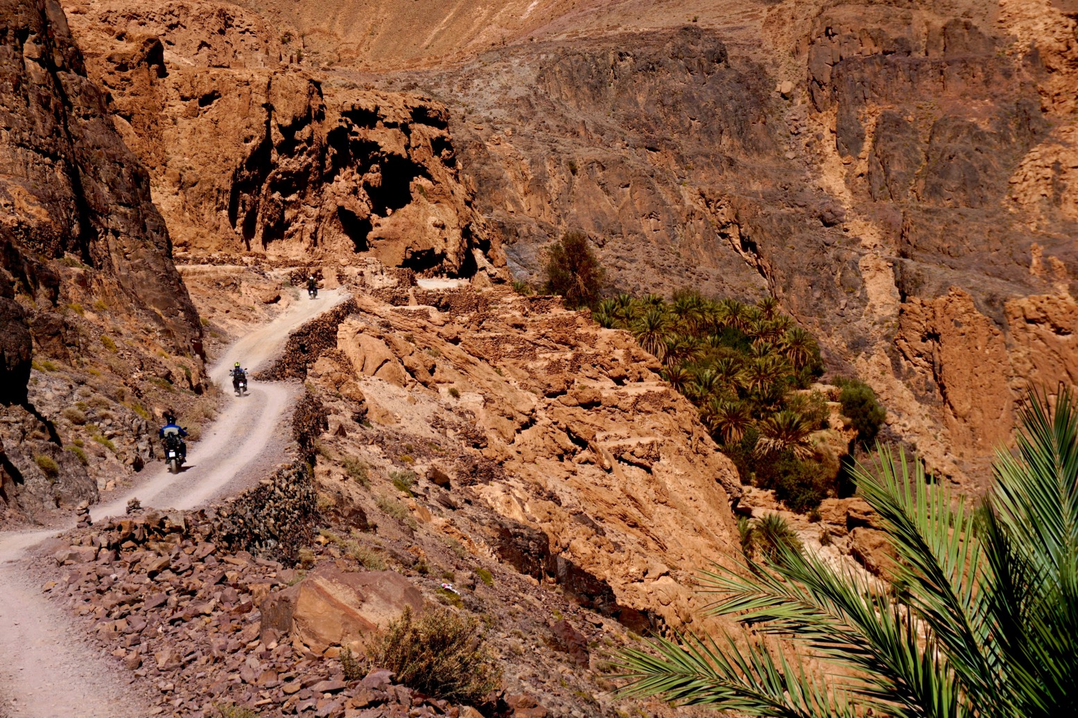
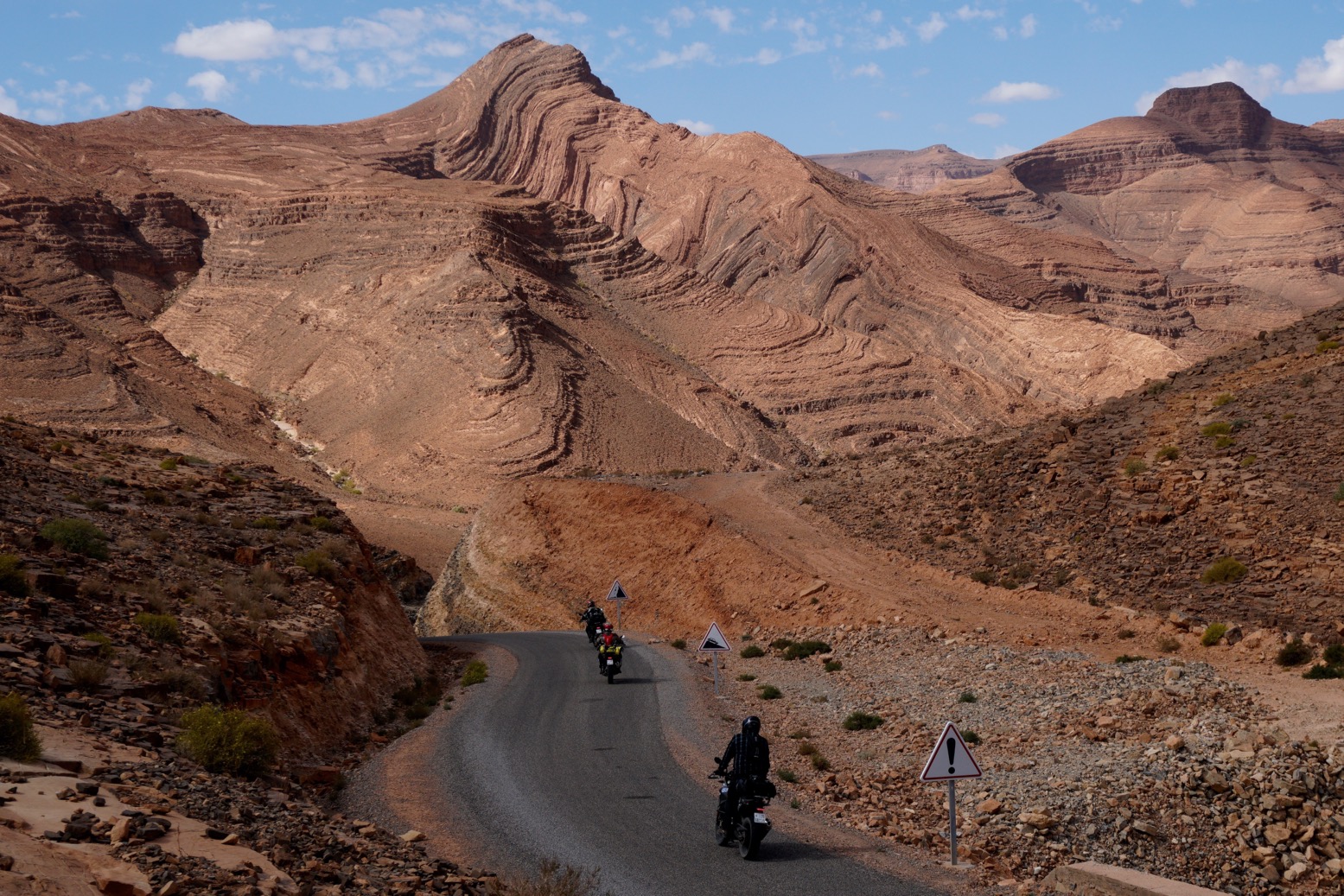
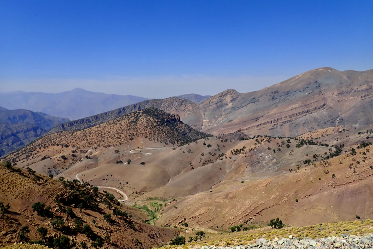
Back then getting to Djanet meant dodging the Fadnoun Plateau (Tassili N’Ajjer). From Fort Flatters (today’s Bordj Omar Driss) you headed out over the sands southwest to Amguid, then southeast along the base of the plateau. Right up to the 1980s this was truck route to Djanet until they sealed the winding road over the Fadnoun which to this day still catches some truckers out.

If you could get to Fort Polignac (Illizi), a car route did actually cross the Fadnoun. You left Polignac to the east then either pitted yourself against the very sandy Imirhou gorge (left) , or all the way to Tarat fort on the Libyan border, before turning south to join today’s route at Dider.
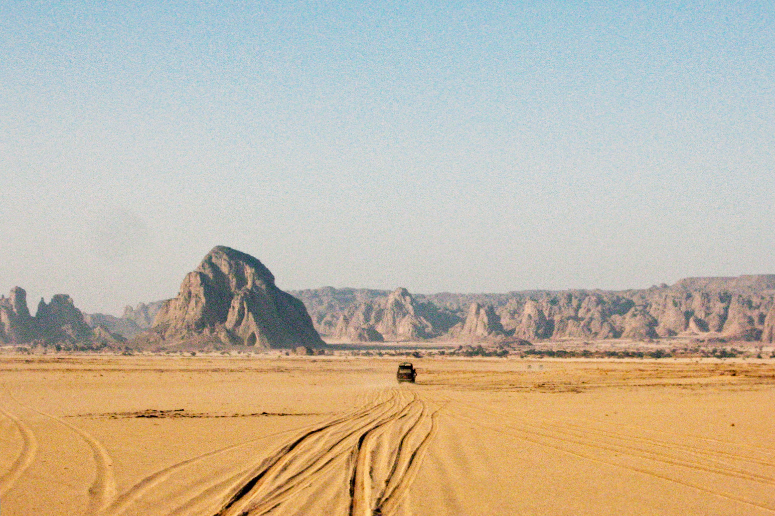
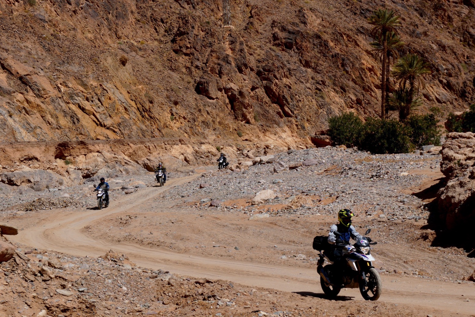
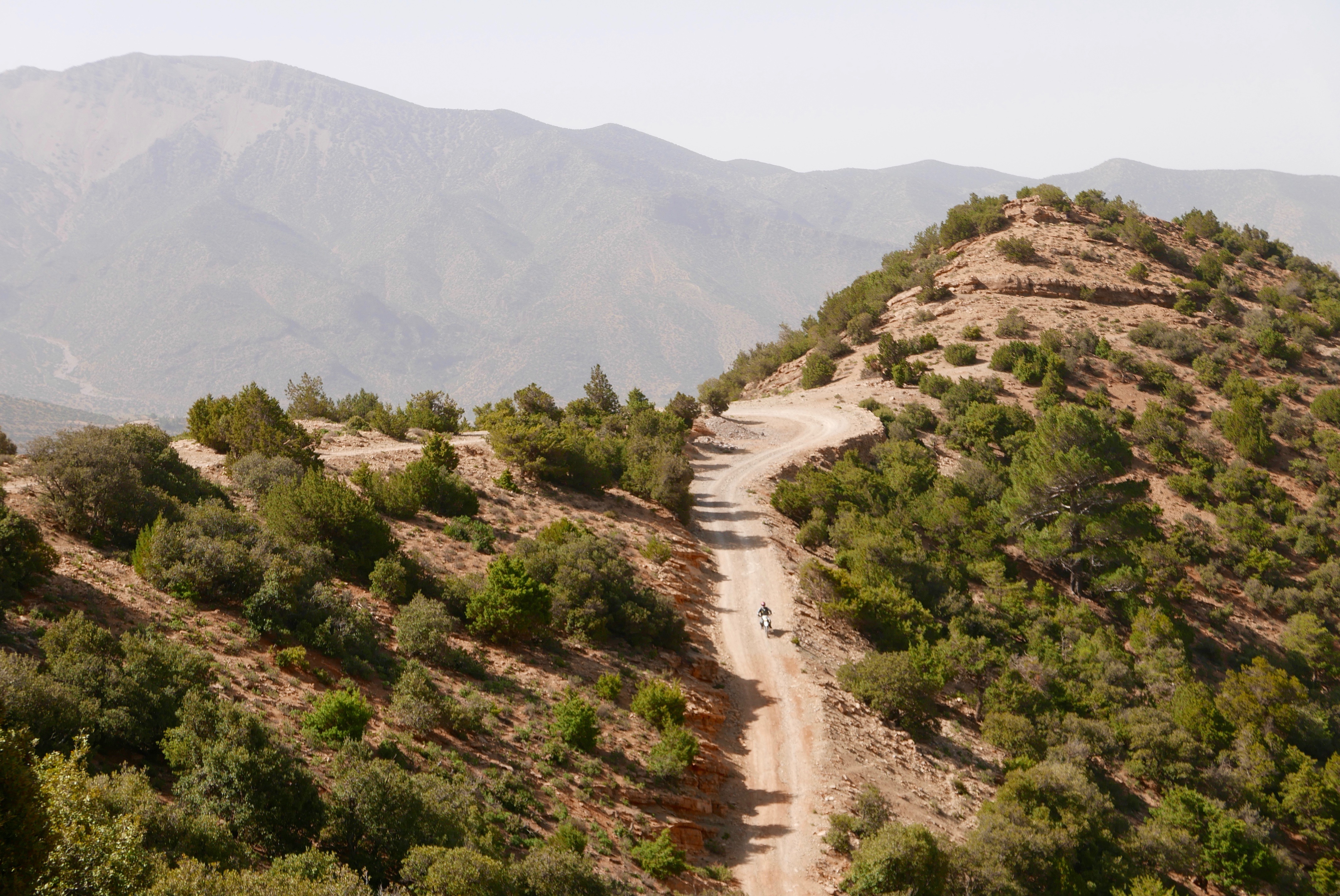
On bikes for Desert Riders in 2003 (the full movie is on YouTube), this was a tough but epic ride across the tumbled escarpments of the Tassili which took us two hard days. But the time we reached the final descent from the plateau at the Tin Taradjeli Pass, we couldn’t wait for the sands of the wide open Tenere.

From 1943 up to 1951 the French administered the Fezzan province of Libya and may have had had hopes of annexing it. But by the time this edition was published, growing calls for independence put an end to that idea. Meanwhile. the northern deserts of Chad remained as obscure and little visited as they are today.

The Map

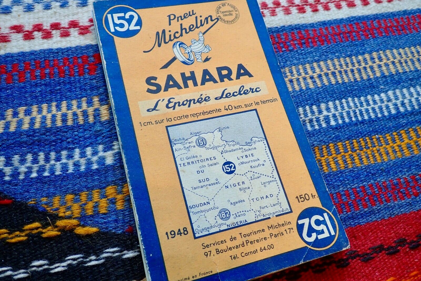
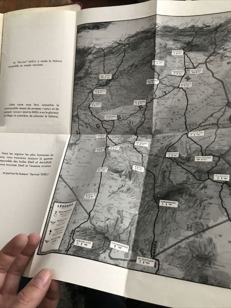
The Shell guide includes a 1:4m scale map folded into the back cover. It’s more or less Michelin’s 152 of 1948 which to some may alone be worth it the price of the guide.
It doesn’t have the full coverage of the 153 North & West Africa which came later, but shows the routes described, and much more. This detail has long made the Michelin map indispensable in the Sahara, even if it is a rather skimpy navigation aid to setting off along one of the Imperial routes.
The Mauritanian Line gets a 1:9m inset (below left) while in Libya (never a French territory) the map proudly shows the routes of General Leclerc’s desert campaign during WW2 which ended in the famous raid on Murzuk in co-ordination with the Long Range Desert Group.

‘D’ is for the Lost City of Djado [video]

Part of the Sahara A to Z series

Le ksar de Djado. Mont Saint Michele du Tenere‘ (see vid below)

On the far side of Niger’s Tenere Desert lies the Djado Plateau, a frayed maze of low escarpments, sand-choked canyons and wind-carved outcrops, geologically contiguous with Algeria’s Tassili N’Ajjer and Libya’s Akakus (right).

Approaching Orida from the Col des Chadeliers.

This is Tubu and Kanuri country. The latter are an ethnically related group originating from Kanem or Kano in northeastern Nigeria. Tubu nomads are best known in northern Chad and, unlike the arriviste Tuareg, are the Sahara’s original inhabitants.
When I first visited this area the Tubu of far-eastern Niger where in revolt and a ‘checkpoint’ at Orida took tribute from passing tour groups, all led by Tuareg from Agadez. East of here was a no-go area and was mined, by either the rebels or the Niger army.
On old IGN maps the topographic names are derived from the Tuburi language: a peak or hill is ‘Emi’ rather than the Tuareg ‘Adrar’ or Arabic ‘Jebel’, and ‘Enneri’ is a valley, like a ‘oued’ or ‘wadi’.

Perched on an outlying outcrop at the plateau’s edge, like something out of a Tolkein novel is the ruined citadel of Djado (21.016 12.308), a mudbrick warren of passages and collapsed chambers worn ragged by the weathering of passing centuries. Below the fortress, a shallow seasonal pool of brackish water is ringed by reeds and palms.

Such fortified ksars are not unusual in many old Sahara towns like Djanet, Ghat, Dakhla in Egypt and Ouadane in Mauritania. But all are adjacent to a modern town which has since grown up around them. That such a large citadel should located hundreds of miles from the nearest town appears an enigma. Djado personifies the Sahara’s romantic mystique, a Lost City crumbling into the sands. Who lived here, what did they do and where did they all go?

It’s origin may well date back to the late Kanem-Bornu Empire as a station on the trans-Sahara trade route which evolved between Lake Chad and Tripoli. Any place in the Sahara where the groundwater reaches the surface becomes important. By the 17th century, Tripoli – the capital of Ottoman Tripolitania – became the Mediterranean’s busiest slave market. From Lake Chad a line of wells and oases run north via Agadem to the salt mines of Bilma, Aney and on to the smaller salines of Seguedine. Here the route split: the busier arm led northeast to Tumu and the famed slave trading post of Murzuk. The other branched northwest towards Ghat. All of these places would have had a fortified ksar similar to Djado, though not so dramatically isolated.

Around the 18th century it’s probable the inhabitants of ‘Djebado’ (as it’s called on the 1888 map, above) either gradually lost out to the dominant Murzuk trade route, were harassed by Tuareg or Tubu raiding parties, or just succumbed to the growing infestations of malarial mosquitoes which still inhabit the reedy lake today.

The Djado plateau, and more especially the Aïr mountains on the far side of the Tenere, are rich with ancient petroglyphs (left) and other rock art, some 6-8000 years old. At this time the Sahara was a savannah widely populated by the last of the nomadic hunters or early pastoralists. Many show animals long since extinct in the desert: bovids, crocodiles, giraffes or elephants (left).
But it is a mistake to conflate the medieval ruins of Djado with the relics of the prehistoric era. The ksar is no more than a 1000 years old and much more likely, half that. To the north is a smaller are more intact ruins of Djaba (below) and beyond that, the well at Orida, 500km from Ghat.

Today the Kanuri whose ancestors were said to have inhabited Djado, live out on the desert plain in the nearby village of Chirfa, though annually they return to harvest the dates which grow alongside the ruins.

Below: an excerpt from the film of the 1960 Berliet Tenere Expedition. An accompanying helicopter surveys ‘Le Mont Saint Michele du Tenere’.

‘M’ is for Mysterious Circles: Adrar Madet, Timetrine

Part of the Sahara A to Z series

Out in Niger’s Tenere desert, east of the Aïr mountains lies the isolated massif of Adrar Madet (see map below).
About 2.5 kilometres directly west of the 20-km long massif’s northern tip, a perfect stone circle lies in the sand.
The circle is about 20m in diametre and some 600m from the circle and more or less at each cardinal point is a small arrow. You can see all five points here on Bing. You won’t see them on Google last time I looked.

The lone ridge of Adrar Madet (and it’s northeasterly wind shadow), north of the Arbre du Tenere

I’ve not been there but have known about it for years. Some speculate that it could a sacred pre-historic marker associated with prime meridians and ancient Egyptian knowledge, marking the ‘middle of North Africa’ (left).
It is a huge coincidence that the circle is – within a few kilometres – exactly halfway between the equator and Ras Angela near Bizerte in Tunisia, the northernmost point of Africa. And it’s nearly directly south (178.4°) of Ras Angela, too. (Fwiw, it’s 64km west to the actual point directly south of Ras Angela, just south of Arakao on the edge of the Aïr.)

I err more towards the theory of a much less ancient aviation landmark from the French colonial era, one of many located in the Sahara and still being found, including less ambiguous examples where names of nearby outposts are stencilled inside the circles. Fellow Saharaholic, Yves Rohmer confirms this fact. Rubbish from that era: tin cans, bottles of Pastis, berets, garlic and so on, littered the Madet site. A similar circle exists in nearby Fachi, with that name stencilled in it and close to an old airstrip. Another plausible explanation made in the discussion linked above was a drop zone for parachute or dummy bomb training.

Not so mysterious after all then, but you do wonder, with the distinctive and isolated 20-km-long Madet ridge angled NW/SE and the Aïr massif to the west, what value the tiny 20-m stone compass actually added to aerial navigation? And why put an airstrip there if anywhere flat in this part of the Sahara can be an ’emergency airstrip’. And would they have spent days building a parachute or bomb drop zone circle when a ring of smoking oil drums would have sufficed? Trop mystérieuse…

Another possibility I like to entertain is of a playful or geographically inclined Colonel stationed in the Sahara. He’d spent his lovelorn honeymoon in Bizerte near Cap Angela and, looking at his Michelin map one hot day, noticed Adrar Madet’s central position. He decided it would be a good morale-building (or time-killing) exercise to have the circle and cardinal points marked in the desert for posterity. But as Adrar Madet is far from any route or useful resource, the purpose and meaning of his enigmatic earth sculpture has been lost in the sands of time.

That’s as may be, but what about the other similar but smaller cobbled stone circles I’ve seen in the mountains of southern Algeria (below)? Neither could be described as aviation markers. Rock art hunter, Andras Zboray, found another in 2023 by the Oued Torset in the central Tassili, northwest of Dider. ‘Tombs’ said the guides, but they’re not like the usual pre-Islamic tombs one sees in the desert.

Timetrine, Mali

Here’s another curious circle, spotted by a mate in the remote wastes of Timetrine, northern Mali, coincidentally one place where AQIM kept European hostages up to a few years ago.

19.455065, -0.422889; It’s a lot clearer on Bing Maps than Google (LTIL). According to the old 200k IGN map, this is actually the brackish (saumâtre) well of T-in Kar (wrongly positioned on Bing), so marking it for pilots may make sense for emergencies.

You will see four points a couple of hundred metres from the circle set in the middle of a distinctively rectangular clay pan covering about half a square kilometre. But they seem so vaguely positioned as to be pointless. Some have speculated the four points may mark the fringes of a smooth landing strip.

The clay pan is on a more-or-less direct line between Timbuktu and Tessalit where there is also a ‘TES’ marker by the current airfield (left). In those days (pre-War) they would have navigated as much by landmarks as a bearing.
Since around 2013 this whole area has been a war zone between French force having it out with AQIM, ISGS and the like. This intervention has proved as successful as similar operations in Iraq and Afghanistan. By 2023 they’d left and Russian state mercenaries took over.

A is for Assekrem

Part of the Sahara A to Z series

In just about the geographical centre of the Sahara lie the Hoggar mountains. Compared to the tawny sandstone of the Tassili N’Ajjer further east or the granite domes of the Tefedest and Tesnou, it’s a bleak, harsh landscape of basalt buttes erupting vertically from the barren landscape.

In the heart of the Hoggar massif is a dramatic cluster of eroded volcanic cores overlooked by the 9000-foot high Assekrem Pass, part of the Ahaggar National Park. Some maps call it the Atakor.

There are three ways to get to Assekrem: the regular 85-km eastern route up from Tam via Iharen peak. A gnarlier and slightly shorter western route which starts near the airport, then passes Terhenanet, though is usually taken as the descent from Assekrem to make a loop back to Tam as it’s easier to manage going down. Another route comes in from the north from Hirafok over the Tin Teratimt Pass (above).

Or you can follow a network of camel tracks (above). It takes a week or more, depending where your start.

Assekrem is the best known of the many wonders of southern Algeria. A lodge sits on the saddle of the pass (above) where tourists spend the night to enjoy the stunning sunset and sunrise across the brooding volcanic monoliths from the plateau above the Pass.

Though he spent most of his time in Tam, early in the early 20th century Charles de Foucauld, a French bon viveur and soldier turned missionary, built a crude stone hermitage on this plateau (above).

Among other things, Foucauld was responsible for the first Tamachek-French dictionary, and his house still stands in Tam. It was here in 1916 that Foucauld was assassinated as a suspected French spy, during the Senussi uprisings in Libya and Egypt. He was beatified in 2005 and the hermitage is still tended today by a couple of aged members of the order of Les Petites Frères de Jésus, who were inspired by Foucauld’s life.

A is for Atlantic Highway to Mauritania

Part of the Sahara A to Z series

See also:
Western Sahara
Trans Sahara Routes
The Railway Piste
Tindouf Piste
Atlantic Route
Trans Sahara Highway
Hotel Sahara
The Dig Tree

In March 2020 I rode Morocco’s 2300-kilometre Atlantic Highway nearly all the way to the southern border and nearly all the way back. I last came this way in 2019 (as far as Gueltat Zemmour) but have not done the whole crossing into RIM since 2006 heading for our Empty Quarter transit.
I knew it then, I know it now: scenically, mile for mile, the Atlantic Highway is pretty dull by Saharan standards – a drab limestone plain where, encounters aside, sea-cliff viewpoints and a few barchan dunes are as good as it gets. If you’re on a mission to get to Mauritania – as I was on this occasion – here’s what I found.

Up north, use the autoroutes to dodge the N1 and speed traps
It’s a long way so coming from the northern ports, I recommend sitting on the deserted A1 and A7 motorways all the way to Agadir where the A7 ends, even though you pay tolls (about £30 for a moto/car). South of here traffic thins right out. The alternative coastal N1 trunk road is slower, less safe (in a driving sense) and is commonly staked out by cops with radar guns, especially around Essaouira and Agadir.
Otherwise, there are any number of great ways of exploring inland Morocco, across the Atlas mountains all the way south to the Desert Highway along the Algerian border.

The speed cops are creeping south
Even though I was hyper-aware of radar cops, I still got caught leaving Tan Tan doing 80 in a 60. That would have been 300d, but deploying the usual techniques – basically: humility in the face of the obvious – he let me off. All the way to Layounne and Dakhla, be wary of lurking speed cops, especially as you approach or leave settlements but even out in the desert too. Crossing solid white lines is another favourite trap; easily done when stuck behind a soot-spewing lorry crawling up an incline,

Western Sahara checkpoints and fiches
As ‘Western Sahara‘ is a Moroccan military zone, checkpoints increase south of Tan Tan, and unlike up north, they don’t just wave foreigners through but want your passport details. Handing over a pre-printed ‘fiche‘ (French for ‘form’; below) helps speed up the process. Hand one over and they can log you into the ledger once you’ve gone.
It seems fiches are less needed these days; I got through only about six on the way down – the last one at Dakhla Junction. Some checkpoints will insist on seeing your passport anyway; others just want a chat.

On the N1, subsidised fuel begins 92km south of Tan Tan
Along with a few other key commodities, fuel is subsidised by about 30% in Moroccan Western Sahara. The first discounted fuel station is just after you cross a causeway and climb out of a sea inlet, right by a checkpoint.

Fish & Chips at Afknenir
Make sure you pull in for a poisson-frites in Afkhenir, 20 kms from the checkpoint above. For some reason streetside fish restos here are like casinos on the California-Nevada border. You may think there’ll be loads more down the coastal highway, but there aren’t.
You can thank the upwelling of nutrients from the cold Canary Current which gets funnelled by the Canaries themselves onto this near-north-facing section of coast before Cape Juby. Or maybe local demand supports the informal shore-casting fishing economy. You’ll see loads of scooterists with rods as well as the crude clifftop shelters where they live.

They’re rebuilding the N1
South of Guelmim a new, wider road is being built in stages, sometimes alongside the old one – certainly as far as Layounne. Around the dunes of the windy Khnifiss lagoon past Tan Tan, when I was there roadwork embankments see sand get blown across the two-lane road – not a good place to meet an oncoming truck while checking your likes.


Fog

It’s very windy – day and night
They say March is especially bad, but south of Guelmim where the desert sets in, it’s windy day and night. Normally in the Saharan interior the wind stops at dusk. In late February 2020 a huge Saharan sandstorm (below) made the news when holidaymakers on the Canaries were stranded. Close to the coast the cold current produces fog (right), certainly between Guelmim and Tarfaya. Within a kilometre of the coast a northerly sea breeze can also blow up to 10°C cooler than an easterly from the dry interior – which might be just a mile or two inland. But generally, the wind is behind you; on a pushbike (I saw a few), that’s important.

The flat landscape of Western Sahara can’t help, but when you realise the whole 3000-mile width of the Sahara has been steadily heated by the rising sun before it reaches the Atlantic coast, the wind has had plenty of time to get a good run up.
On the move it’s not so bad, but outside of a car, camping can be pretty miserable. Even the trees are bent southwards.

All this wind is good for the economy: Dakhla has long been a kiters’ resort (below) and there’s a huge installation of wind turbines south of Tarfaya, helping keep the lights on in Laayoune. Soon they say that array of turbines (or one like it) will feed electricity to the UK via an undersea cable.

The monument at Tah
On the N1 for Laayoune you’ll pass through nondescript Tah with no fuel and barely a cafe and shop to rub together. In the middle of town is a granite monument covered in Arabic inscriptions. It marks the spot where in November 1975, some 350,000 Moroccan civilians symbolically marched over the then border into Spanish Sahara.

This was the Green March (map left): three co-ordinated and tactical mass demos mobilised by the wily King Hassan in response to rumours of Spain considering handing over its marginal colony to the indigenous Saharawi and Polisario Front. The marches were followed by the 16-year Western Sahara War which Morocco effectively won by annexing most of the territory (see map,above). It’s why the UN still hang out in Western Sahara and why unmapped landmines are still a menace. Otherwise, not much appears to have happened in Tah since that glorious November day.

Laayoune
Laayoune is the provincial capital and biggest settlement in WS by far, with a prosperous frontier-town vibe to it. At least from what I perceived; life in the Saharawi shantytowns may not be so rosy and civil disturbances are not uncommon. Riot police lurk on standby in the town centre (below). The UN’s MINURSO mission is based here, monitoring the Polisario ceasefire.
Passing through the city, the transit is not an obvious single main road. Without a satnav, follow signs for the airport, or back right up and take the Laayoune bypass (see below).

The Laayoune bypass
At Tarfaya (former Cap Juby) you can turn into the town, head for the shore ath-laybypast the St Exupery museum, his monument, and the 19th-C curiosity of Mackenzie’s Factory). Following the coastal road 90km to Foum El Oued (‘river mouth’) brings you back to the N1 just south of Laayoune city.
It would be nice to report this is a quiet byway passing idyllic beaches, but the wind is ever-present and trucks use this narrow road to avoid Laayoune. Dunes also get bulldozed off the road, especially south where the road gets narrower. I suppose it might be cooler than the inland route and the beached Armas ferry is a site to behold. There’s more here.

The longest fuel range is 162km but may be 250km
This is between Tchika (Imlili) near some big white barchans on the north edge of the Gulf of Cintra, and Bir Gandouz, the last town, 80km from the border. There is nothing at all along this section except the howling wind. However, the Tchika station and the two similarly old and grubby Atlas Sahara stations to the north near El Agroub (see map right) may be empty.
Stations may get upgraded, but for the moment this means from Dakhla Junction roundabout (two fuel stations) to Bir Gandouz is 252km (via the Tropic of Cancer). I covered that distance northbound into the wind and go in with a pint in the tank.

Is Dakhla worth the 90-km round trip?
No so sure, but then I took the cheap hotel thing a bit far in the old town. Next time it might be more fun to check out the kiters’ resorts at the head of the lagoon. On the other hand, up north, Boujdour was a fun stop for an evening wander.

Plan a break at the Hotel Barbas in Bir Gandouz
Maybe it was just me on the day, but the Hotel Barbas was an oasis in a duststorm. And once inside shimmered into a veritable mirage. We stayed here in 1997 but the place has been transformed to the point of incongruity. They built a two–storey U-shaped bank of rooms around a planted courtyard but then, ingeniously, draped the entire thing in a huge shade-net. Result: a large, cool space where courteous waistcoated waiters flit about at your service. Rooms are good, prices are normal, food is good too and so is the wi-fi. Tourist, traveller, refugee or trader, some of the characters that roll through add to the place’s edgy ambience. The south end of Morocco, not the Mediterranean coast, marks the true border with Africa.
Bir Gandouz is an easy day from Boujdour which itself is an easy day from Tan Tan. With an early start and an hour to the border, you’ll easily get to Nouadhibou or on the road to Nouakchott.

What is ‘La Gouira’ you see on the road signs?
The ‘Lagouira’ you’ll see listed on some old Atlantic Highway road signs indicates the short-lived Spanish base at La Agüera on the Ras Nouadhibou peninsula opposite today’s Nouadhibou. See map inset below. Effectively it indicates the distance to Nouadhibou which is not always listed.
Abandoned at the turn of the century, today it’s a collection of ruins which are actually in the Polisario Free Zone, commonly mistaken for No-Man’s-Land which separates Morocco from Mauritania. Some have managed, but the Mauritanians won’t allow casual visits from the Nouadhibou side.

For Mauritania, see here.


February 2020 Morocco – Gallery

A few photos from the one-week February 2020 tours, showing the new first-day route over the High Atlas, off-road.
Next tours in November.

How to be safe in Morocco

Like most people, I was shocked by the brutal murders of the two Scandinavian women camping in the High Atlas in December 2018. Sadly it was another attack attributed to young men seeking to show solidarity with violent Islamist causes.
One assumes the two women were stalked by the perpetrators from Marrakech, and so the attack might as well have happened anywhere once an opportunity presented itself.
Morocco has been largely free of the types of the attacks which became commonplace in western Europe at this time, and yet tourists who’ve long been targets elsewhere in North Africa and the Sahara, are thick on the ground in all the usual Moroccan places because they feel safe. The last reported terrorist attacks were a bomb targeting tourists in Marrakech in April 2011 and a bigger wave of bombings in Casablanca way back in 2003, mostly aimed at Jewish interests. Unlike the rest of the Sahara, to date no tourist has ever been kidnapped in Morocco.

firstime

How to be safe in Morocco
As a tourist, maintaining your safety in Moroccan cities is no different to any other unfamiliar place. Hustlers are common in certain areas; traffic appears chaotic; pickpockets exist and cheap hotels can feel insecure. And out of the cities mountain roads may not all be velvet-smooth Alpine super highways. All these issues have long been far greater threats to visitors in Morocco than Islamist violence.
Being a Muslim country does give Morocco an edge to those unfamiliar with Islamic culture, particularly women, but the Islam practised here is a lot less severe than in Saudi or Iran, for example. Read the blue box, left, extracted from my Morocco guidebook. Also read the sensible guidelines given on the British FCO website, to give one example. They spell out all how to be aware of the most common risks.

toubka

In a crime sense, the popular hiking area below Mt Toubkal (left) where the women were murdered is not dangerous compared to a big Moroccan city. It is probably its popularity and proximity to Marrakech which make it an easy, adventurous destination.
Occasional unnerving but actually harmless encounters over the years have long led me to advise the following: when wild camping, do so unseen and completely out of sight if possible, and if not then camp close to or in a settlement. This way either everyone knows you’re there or no one does. I give similar advice in both my global overlanding books and would act like this anywhere in the world, just for peace of mind.
In Morocco many have found undisturbed wild camping can be quite hard to achieve. Even in the desert, travellers commonly report someone popping up out of nowhere, usually a curious nomad or villager, or sometimes police checking up on you. It should be understood that in North Africa and the Sahara, camping alone in the middle of nowhere away from other people is regarded by locals as suspicious or odd.
For us Euro-tourists camping has long been regarded as a money-saving adventure, but because hotels and auberges can be so numerous and inexpensive in southern Morocco (from <€5), I’ve long preferred the comfort and security they offer to all the clobber and faffing required with camping, especially if not travelling in a spacious car, or when travelling in the cool season when mountain nights get chilly and drag on for 12 hours. In a cozy auberge you get to meet local people or fellow travellers, eat well, rest properly and recharge your gadgets.

m17-P1210574

Another practise desert travellers like me have adopted since the deep Sahara became FUBAR’d, is not to share detailed travel plans with strangers or online, especially on publicly readable social media. I don’t do Facebook or Whatsapp, but by all means keep friends and family in a closed group appraised of your movements. In Morocco the reach of the mobile network is far greater than you’d expect, not least in remote rural areas where locals depends on it. A local SIM card costs from €2 which includes €2 of credit. You may need the vendor’s help in setting it up.

No one could have anticipated the appalling murders in the High Atlas any more than crossing a bridge in London, backpacking in New Zealand, visiting a market in Strasburg, attending a Baltic island retreat, or a school or place of worship in the US. Morocco remains one of the few countries in North Africa where tourism continues to thrive despite anxieties about ‘Muslim countries’. It helps sustain the local economy, particularly in rural areas where the true level of poverty is much greater than it looks. Don’t let this tragic event unsettle your plans to visit a wonderful country, any more than any of the other places listed above.

P1310022

Tichka–Marrakech: alternative roads

toubviewThe N9 is the main highway crossing the High Atlas between Marrakech and Ouarzazate, topping out about halfway at the 2260-m Tizi n Tichka pass where a superb range of clay souvenirs and vibrantly coloured ‘gems’ are permanently on display. Being the main road, traffic can be relatively heavy and slow, and the hundreds of bends make cycling a bit stressful and overtaking tricky in a vehicle, especially when climbing or away from the recently widened ‘race track’ which uncoils a few kilometres north of Tichka (below). But even on this recently improved section, landslides and subsidence are already taking their toll.
Short of the usual floods and storm damage, both the diversions outlined below are doable in a regular 2WD rental car, on big motorcycles as well as sturdy bicycles.

tichkawide
Telouet-route

On the warmer, south side of Tichka, the alternative route (right) via Telouet was well known, even before it became largely sealed a few years ago. It starts just 4km south of the Tichka col, where the final roadworks on the P1506 are nearing completion on the 20km to Telouet with its famous Glaoui kasbah.
From here the P1506 soon drops off a plateau to follow a long, oasis-lined ravine (below) all the way down to the Aït Benhaddou tourist trap, rejoining the N9 10km later at Tazentout, 23km west of Ouarzazate.

aitbenvalley

N9-Toubkal

On the north side of Tichka, road widening disruption has currently spread down the valley over 17km north of Tadart, the first village below the col. But once you get to Zerkten village, signed and 33km below Tichka by a red and white telecom mast, there’s an easily missed side road to the west. See map above.
As pictured below, it leads steeply 6km up to a 1750-m col to an impressive view 60km  southwest to the 4167-m mass of Jebel Toubkal. It’s one of the few points on a sealed road that gives a full view of North Africa’s highest mountain (picture, top of page).

tichcolclimb
N9-Tichka-view
oliver

From here the road drops down through apple orchards recalling the Aït Boumengueze valley further east, below the Mgoun massif (MH18. MH19).

winxo

It levels out along the Oued Zat at the town of Tighoudine in the Oued Zat valley where, in late November, you’ll detect the strong aroma of olive oil being produced in roadside presses (right).
The side route rejoins the N9 after 35km, just before a green Winxo fuel station on the north side of the road, 46km from Marrakech.

highatlashighway

Tis the Spiral Tunnel of Tagountsa

Part of the Sahara A to Z series

spirtuna
spirmoha

High up on the side of a remote High Atlas valley is an engineering marvel – hewn through the cliff face a spiral tunnel manages to curl down through the rock and emerge underneath itself.
I was told about this curiosity in 2012 by the chap at the cozy Chez Moha auberge (right) in Aït Youb while researching the second edition of Morocco Overland. Riding a BMW F650GS, I followed his directions with the usual route-finding issues and then, beyond the last village, hacked up a stony disused track to the 2250-m (7340′) Tagountsa Pass. From the cliff edge I recall the timeless view stretching east up the Plain d’Amane valley towards Rich, pictured below and on p128 in the current book. A short distance later I spun through the tunnel and rolled down a series of switchbacks back to the valley floor and a tasty tajine back at the auberge.

tang

Spiral tunnels have been a long-established solution to constricted route building challenges across mountains. You could even say that your typical complex freeway intersection where the road winds back under itself to change direction tightly is the same thing in flyover form. But you must admit that hacking out any type of tunnel – let alone one where there’s no room to dig out a regular switchback – is an impressive task.

spirplak
yvrom

Not for the first time on this website, I’m able to benefit from research of Yves Rohmer (right) on his always fascinating collection of old Saharan curiosities at Saharayro, including the Tagountsa tunnel. Viewed on Google Earth, the big picture is more vividly rendered setting View > Historical Imagery back a few years.

spir
spirplan
spirtuna

Even then it’s hard to visualise what’s happening until you look at the old plan, right. You can see the anticlockwise descent of the bore and just work out that it starts with a short separate concrete bridge over the lower mouth of the tunnel. The daylight streaming down the gap can be seen in the image repeated on the left (and as a slim shadow in the round inset, above)

spirimit
legion

Built in 1933 over a period of just three months by some 3000 labourers from local and French regiments, few realise that at this time the French were still fighting to subdue renegade Berber tribes in the mountains of Morocco.
As you can see on Yves pages, the engineers, sapeurs and legionnaires passed their spare time commemorating their achievement by engraving regimental emblems in and around the structure. I was told the motivation for all this effort was to enable a secure, high transit of the valley, so avoiding protracted Berber ambushes at the narrow Imiter Gorge (left; ~KM70) with it’s Mesa Verde-like dwellings.
The same crew probably built the better known 62-metre Tunnel de Legionnaires five years earlier at Foum Zabel now on the main N13 highway north of Errachidia. A plaque there boldly states:
The mountain barred the way.
Nonetheless the order was given to pass…
The Legion executed it.”

spirtun

The Tagountsa tunnel the Legion helped build is at KM102 on Route MH13 in the book, though if you reverse the route it’s only a 10-km off-road drive off the Rich road just east of Amellago, turning north onto the dirt at KM113. Depending on storm damage, an ordinary car or a big bike should manage it, but note that you’ll be negotiating all those hairpins on the Google image above. From the west side (as Route MH13 describes the loop) it was a rougher and slightly more complicated ride on the BMW up to the pass.

spirdram

Perhaps because trains can’t negotiate hairpins or climb very steep grades, it seems that spiral or helicoidal tunnels have been a much more common feature on mountain railways than roads, particularly in the Rockies.

Norway’s Drammen Spiral (left), some 50km southwest of Oslo is a notable example, dug we’re told, as an alternative to disfiguring effects of open quarrying on the landscape back in the 1950s while at the same time producing a revenue-producing tourist attraction in the process.

Morocco Overland: Route J2, J3

Updated December 2025

Trans Atlas: J2

Talat n Yacoub (Ijoukak) > Ouneine basin > Ouaougdimt valley > Aoulouz • 88km
Last run October 2023 – CRF300L

Following the September 2023 earthquake, the steeper north slope of this track is almost immedaitely blocked and remains unused. To get to Ouneine take the bypass and cut back west via the road or the MH212 link route.

a310-7

Description
High Atlas crossing parallel to the nearby Tizi n’ ‘Test which peaks at the 2200-m Tizi n Oulaoune (30.940222, -8.125111), following a steep climb: some 500m in 8km after leaving the road SE of Ijoukak (right).
You may find the looser parts of this climb a struggle in a 2WD or on a heavy, wide bike, but this was not the case on 2022 in a 4×4. It’s probable that local 2WD vans only do it downhill (northbound) to Ijoukak. Track immediately blocked by post-earthquake debris (below; 6 months later) and remains abandoned.

In 2022 the track was rougher as it rolled down to the Ouneine basin and the P1735 whose extension eastwards to Igli on (J3) is now sealed. Keep right at the fork with an illegible sign. At the bottom just before it joins the road you have to detour south around the boundary fence of a new small mine,

Once in the basin carry on SW along the P1735, and at Sidi ali ou Brahim swing sharp left off the road, cross the stream and follow the Ouaougdimt valley 24km SE (not fully shown on most paper maps) to join the road coming down from Aguim on the N9 Marrakech–Ouarzazate road.
Or, if you’re in a rush or heading towards Taroudant, at Sidi ali ou Brahim carry on 23km south on the ever-bendy P1735 to Sidi Ouaziz (fuel) on the N10. Otherwise, it would be a shame to miss out on the scenic Ouaougdimt valley stage, as it rises onto a terrace high above the valley floor.

mhh20

Mapping
Parts of the route are just about legible on paper maps, least badly on the inset ‘High Atlas’ panel on the Michelin. But none show the full Ouaougdimt valley route. It’s all on Google and the OSM/Garmin digitals.

Off-Road
The climb up to the 2200-m Tizi n Oulaoune pass from KM11 starts a steeply but is now blocked. From the pass the gradient eases off with great views doiwn to the basin while you’ll find the Ouaougdimt valley stage no harder than anything you’ve just done. Carefully ridden, a big bike might manage the loose hairpins; so could a 2WD with low first and clearance, though as always, these mountain tracks require concentration. On an MTB it will be a slog if not a push up to the Tizi n Oulaoune, followed by a rough freewheeling reward to the basin and no more huge grades thereafter. Bikes might have more fun following J3 to the high P1735 road, turning left or right.

Route finding
Easy enough. We winged it just by studying Google satellite imagery beforehand, jotting down some distances between junctions. That’s now all listed below. Download the kml file.

Suggested duration
Half a day will do you.

Route Description
0km
 (88) Talat n Yacoub fuel station (village destroyed but still serving) on the N7 Tizi n Test road. Head north to Ijoukak village.

3 (85) Pass through Ijoukak, cross the bridge and turn immediately right up the side road now thronged with relief tents. Soon you’ll pass Houssain’s agreeable mountain lodge (repaired; reopened). Huge boulders have fallen on the road.

11 (77) At the fork before a village turn right, drop down over a bridge and carry on. Soon there’s a sign right: ‘Ouneine? 24km’. The 500m climb to the pass begins. (Ahead, MH21 continues). To reach Ouneine take the J2 bypass and take the road, or link track which comes in to Map Junction below.

19 (69) Tizi n Oulaoune 2200-m high point with views of Toubkal (4167m) 20km to the northeast. The track now eases off as it descends.

mh20km23
KM23 Map Junction
feb20 - 36

23 (65) Fork with sign (photo above: ‘Map Junction’). East at this fork is a rough track (MH212) which in 9km joins J2 to Igli. Keep right (south) to continue descending to the Ouneine basin visible to the west. At a small mine work your way round the fence to the south. to rejoin the track. Eventually, at a junction around KM35 you join the P1735 road which goes E towards Igli/Iguidi over a 2500-m terrace. This is a spectacular high mountain road (J2).
Meanwhile, the P1735 crosses the Ouneine (shops and cafes) basin SW and threads through a small pass back into the hills.

mh20ouaval

54 (34) Sidi ali ou Brahim. The tarmac carries on 23km to Sidi Ouaziz (fuel) on the R110/N10 but you turn sharp left here, drop down to the stream and up the other side. The track is initially a bit eroded and loose as it climbs to the first village, but that’s why they invented suspension. It then eases off as it rises above the valley on a terrace (right) with great views down to the villages below. You could be in the Cevennes or the Pyrenees, but you’re in the High Atlas. It could be worse.

78 (10) Join the tarmac (J4) by the reservoir. Turn right (west).

83 (5) Roundabout on the R110/N10.

88 Aoulouz fuel stations.

mh20desc

Trans Atlas: J3

Ijoukak > Igli/Iguidi > Askaoun > Taliouine • 170km
Last run: October 2023: CRF300L

At the ‘Ouneine’ turn-off for the blocked track up to Tizi n Oulaoune, carry on southeast on tarmac for a few km until it ends at a village (green mark on map above). Keep going along an easy piste rising up the valley and past a couple more villages all surrounded by relief tents in 2023. Just before one village keep right (downwards); sharp back left leads up to who knows where. Your route climbs to meet the end of the J2 link track close to the Ouneine-Igli tarmac.
Turn left then at the tarmac nearby it’s left up to over 2550m then a long wind down to Igli/Iguidi (hotel/cafe) on the Aquim-Aoulouz road J4.
From here carry on south then west down the valley and turn left at a sign to cross below the dam wall (long term roadworks) and wind your way up to up to Askaoun (KM120) then 45km down to Taliouine.
Total 170KM, fuel to fuel.
I did versions of this route three times in November 2022 with a lunch in Igli. A great ride with a dizzying number of bends in one day.

A few photos   A few more

Looking down on the new bypass from the high route