Part of the Sahara A to Z series
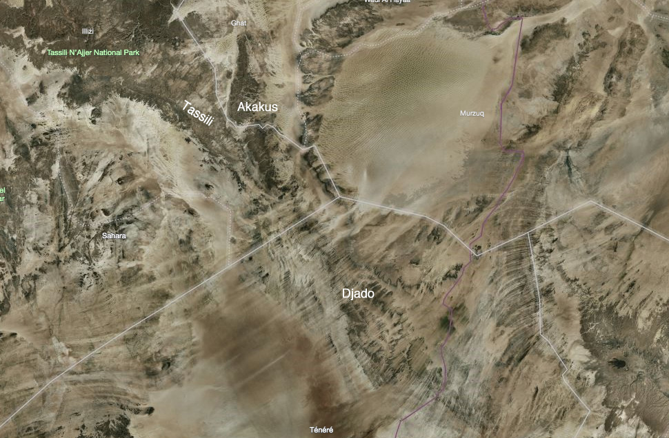
On the far side of Niger’s Tenere Desert lies the Djado Plateau, a frayed maze of low escarpments, sand-choked canyons and wind-carved outcrops, geologically contiguous with Algeria’s Tassili N’Ajjer and Libya’s Akakus (right).
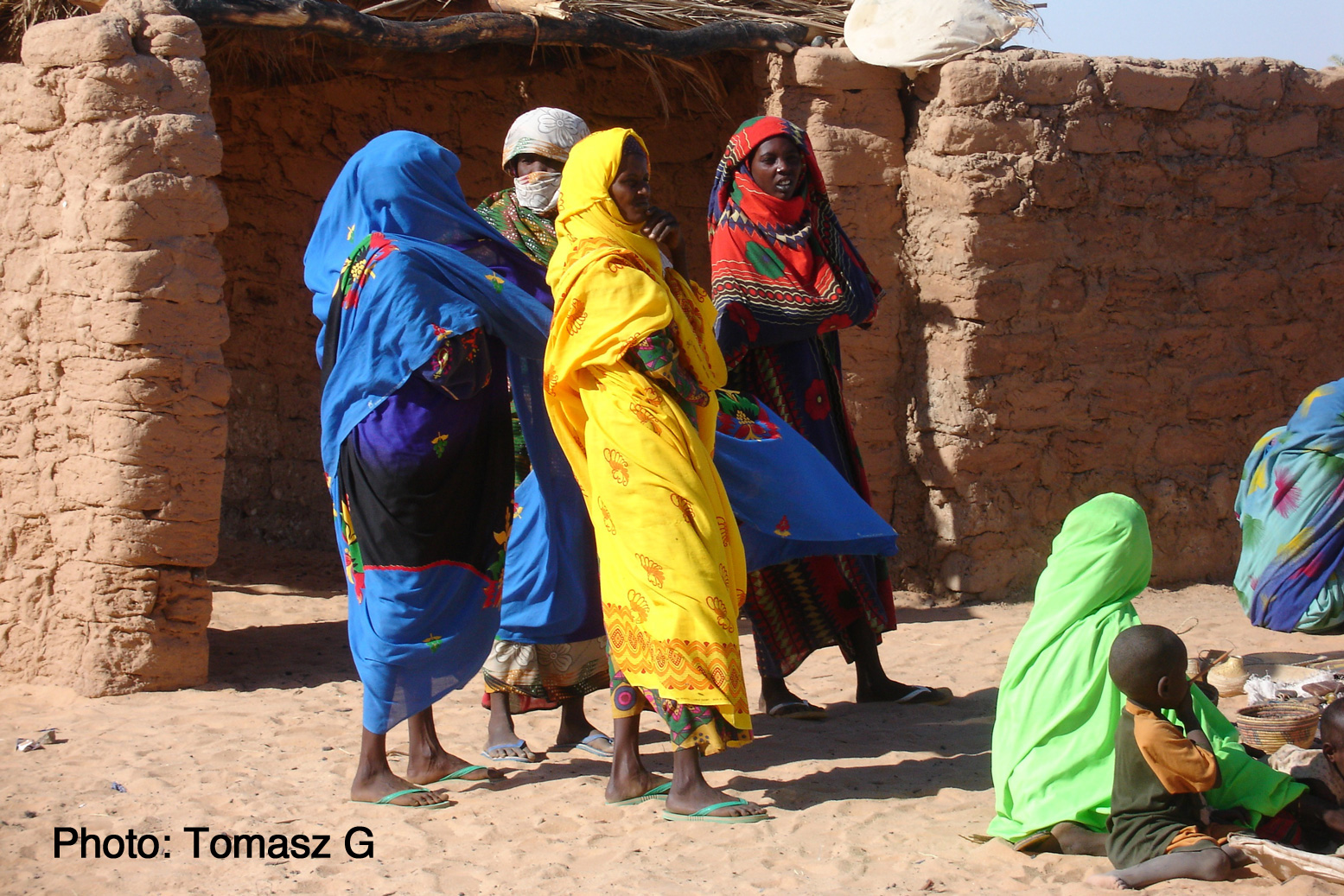
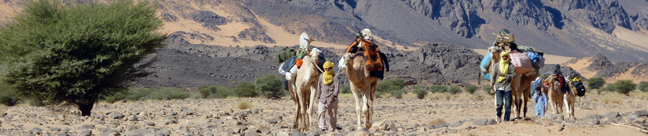
This is Tubu and Kanuri country. The latter are an ethnically related group originating from Kanem or Kano in northeastern Nigeria. Tubu nomads are best known in northern Chad and, unlike the arriviste Tuareg, are the Sahara’s original inhabitants.
When I first visited this area the Tubu of far-eastern Niger where in revolt and a ‘checkpoint’ at Orida took tribute from passing tour groups, all led by Tuareg from Agadez. East of here was a no-go area and was mined, by either the rebels or the Niger army.
On old IGN maps the topographic names are derived from the Tuburi language: a peak or hill is ‘Emi’ rather than the Tuareg ‘Adrar’ or Arabic ‘Jebel’, and ‘Enneri’ is a valley, like a ‘oued’ or ‘wadi’.
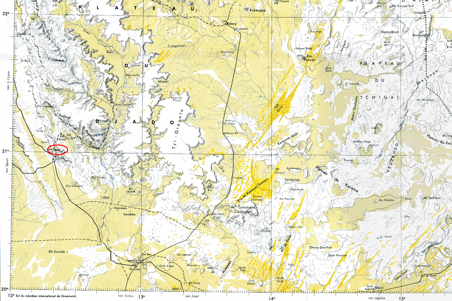
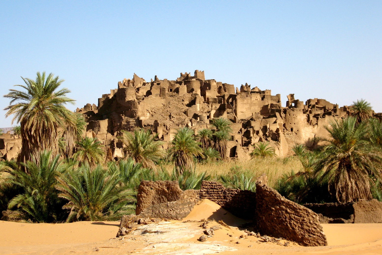
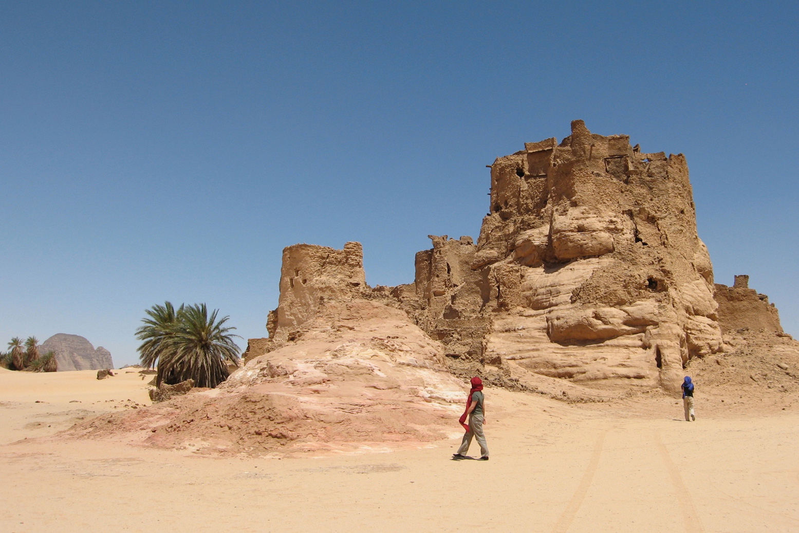
Perched on an outlying outcrop at the plateau’s edge, like something out of a Tolkein novel is the ruined citadel of Djado (21.016 12.308), a mudbrick warren of passages and collapsed chambers worn ragged by the weathering of passing centuries. Below the fortress, a shallow seasonal pool of brackish water is ringed by reeds and palms.
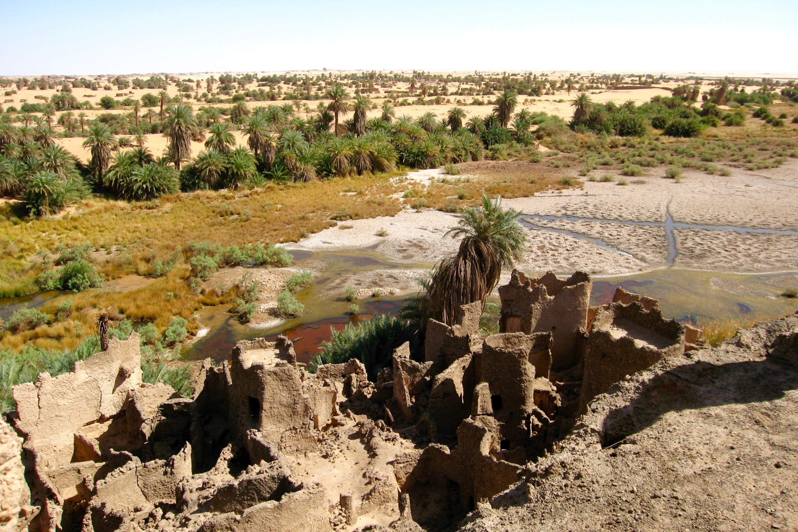
Such fortified ksars are not unusual in many old Sahara towns like Djanet, Ghat, Dakhla in Egypt and Ouadane in Mauritania. But all are adjacent to a modern town which has since grown up around them. That such a large citadel should located hundreds of miles from the nearest town appears an enigma. Djado personifies the Sahara’s romantic mystique, a Lost City crumbling into the sands. Who lived here, what did they do and where did they all go?
It’s origin may well date back to the late Kanem-Bornu Empire as a station on the trans-Sahara trade route which evolved between Lake Chad and Tripoli. Any place in the Sahara where the groundwater reaches the surface becomes important. By the 17th century, Tripoli – the capital of Ottoman Tripolitania – became the Mediterranean’s busiest slave market. From Lake Chad a line of wells and oases run north via Agadem to the salt mines of Bilma, Aney and on to the smaller salines of Seguedine. Here the route split: the busier arm led northeast to Tumu and the famed slave trading post of Murzuk. The other branched northwest towards Ghat. All of these places would have had a fortified ksar similar to Djado, though not so dramatically isolated.
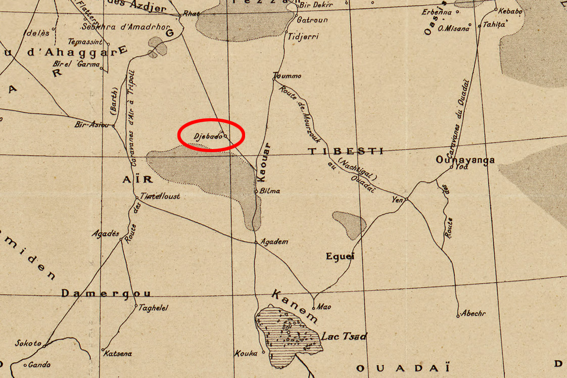
Around the 18th century it’s probable the inhabitants of ‘Djebado’ (as it’s called on the 1888 map, above) either gradually lost out to the dominant Murzuk trade route, were harassed by Tuareg or Tubu raiding parties, or just succumbed to the growing infestations of malarial mosquitoes which still inhabit the reedy lake today.
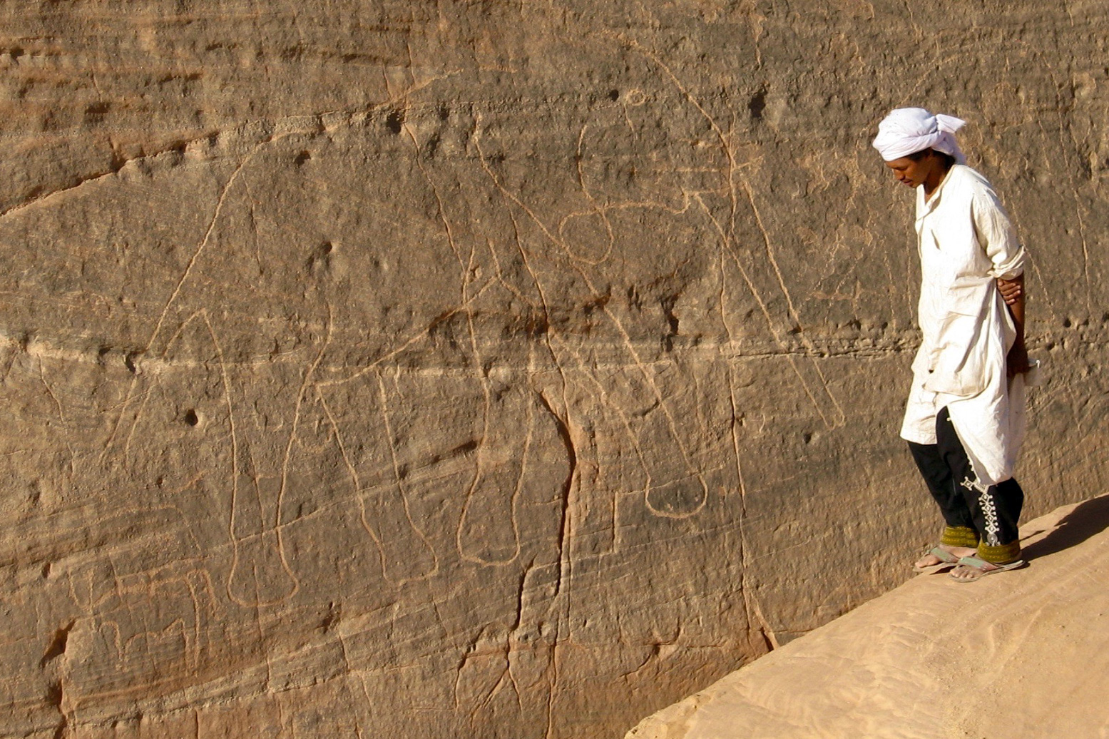
The Djado plateau, and more especially the Aïr mountains on the far side of the Tenere, are rich with ancient petroglyphs (left) and other rock art, some 6-8000 years old. At this time the Sahara was a savannah widely populated by the last of the nomadic hunters or early pastoralists. Many show animals long since extinct in the desert: bovids, crocodiles, giraffes or elephants (left).
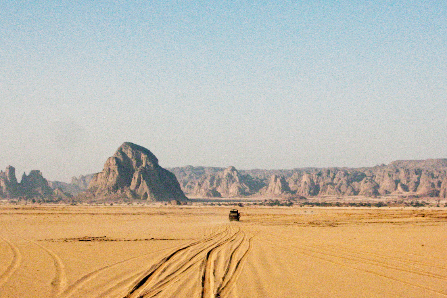
But it is a mistake to conflate the medieval ruins of Djado with the relics of the prehistoric era. The ksar is no more than a 1000 years old and much more likely, half that. To the north is a smaller are more intact ruins of Djaba (below) and beyond that, the well at Orida, 500km from Ghat.
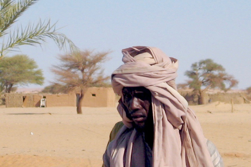
Today the Kanuri whose ancestors were said to have inhabited Djado, live out on the desert plain in the nearby village of Chirfa, though annually they return to harvest the dates which grow alongside the ruins.
Below: an excerpt from the film of the 1960 Berliet Tenere Expedition. An accompanying helicopter surveys ‘Le Mont Saint Michele du Tenere’.
