Updated February 2025
Recently traveller’s reports have revealed that these two southern Algeria towns will soon be joined with a ribbon of asphalt.
We were there in January 2025 at which point the gap was just 94km, a drop of about 25km from 18 months ago. At that creeping rate it’ll probably take a few more years to link up.
How the surface with survive the baking summers remains to be seen, but that’s been an issue since they finished Trans Sahara Highway from Algiers to Tam in the early 1980s. It’s said the TSH remained intact over its 2000-km distance for just one year before flash floods, poor engineering and overloaded trucks beat the bitumen back into rubble. In January 2025 we did the full TSH too; there’s probably 100km of diversions over sand and gravel.
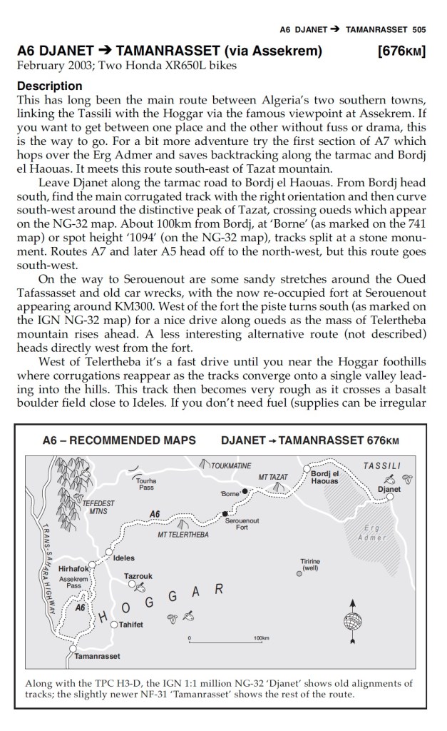
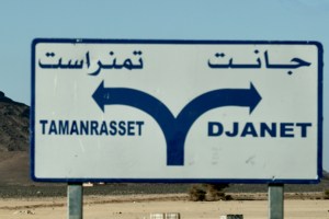
Djanet to Tam
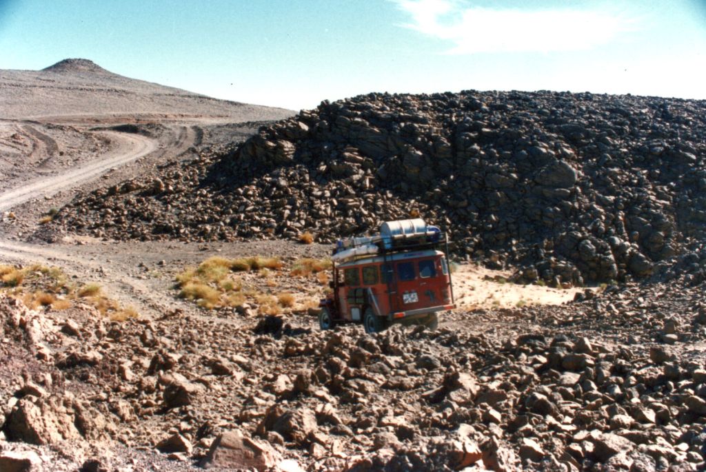
About 8km west of Serouenout checkpoint (270km from Djanet) the tarmac ends. After 24km there’s a short, 20-km section of tarmac, and then you’re back on the piste south of the new road’s alignment for about 70km. Once back on the road it’s about 71km to Ideles roundabout and 220km to Tam via the TSH, or about 270km along the scenic high route via Col Azrou and Tahifet.
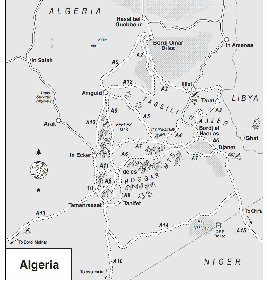
Route A6
In the good years (70s & 80s and 00s) the various tracks between Djanet and Tamanrasset and Hoggar mountains all combined to make classic multi-day adventures in southern Algeria.
Heading west on Route A6, you traversed below the ramparts of the Tassili N’Ajjer plateau, long famed for its prehistoric rock art, then either turned southwest at Bordj el Haouas for Tazat mountain (below right), or used the same mountain as a landmark after crossing the dunes of the Erg Admer (below left),
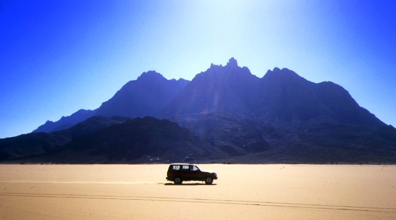
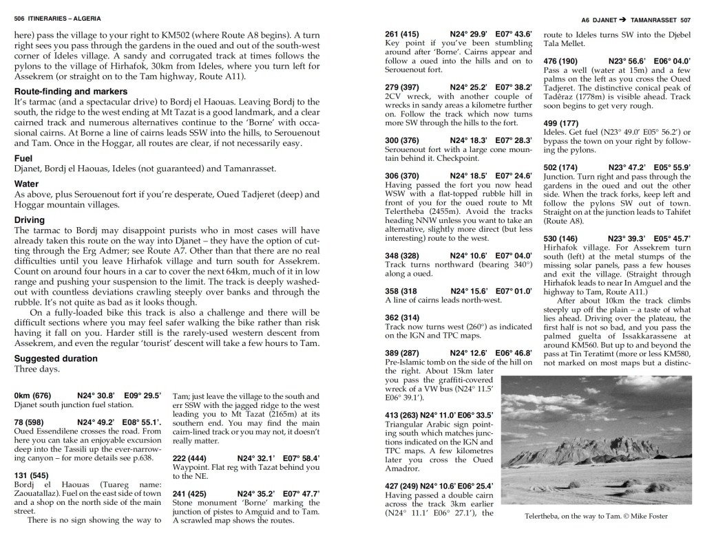
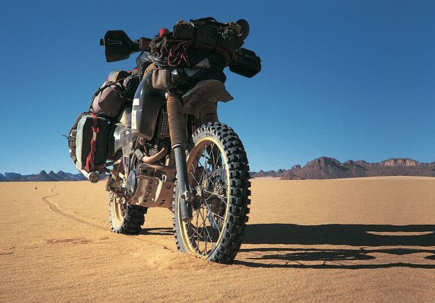
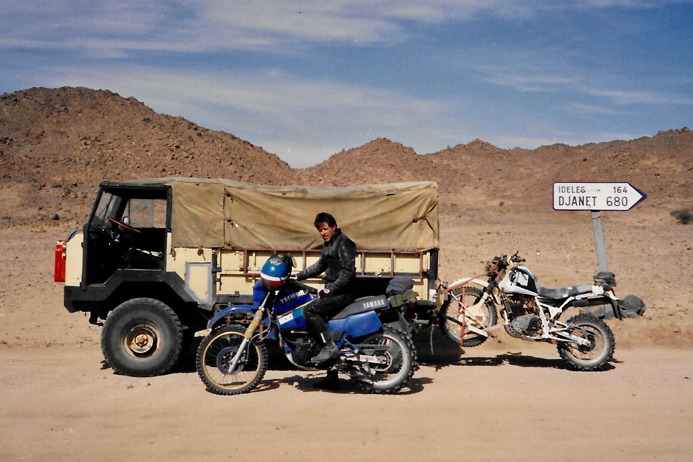
Passing isolated volcanic cones, plugs and other outliers, the basalt rubble of the once molten Hoggar lifted you up to Assekrem, a few hours from Tamanrasset and a refuel. The main route used by non-clandestine locals (A6 in my old Sahara Overland guidebook bottom of the page) was still nearly 700 kilometres or two desert nights for most. It was also on the limit of what an moto could manage.
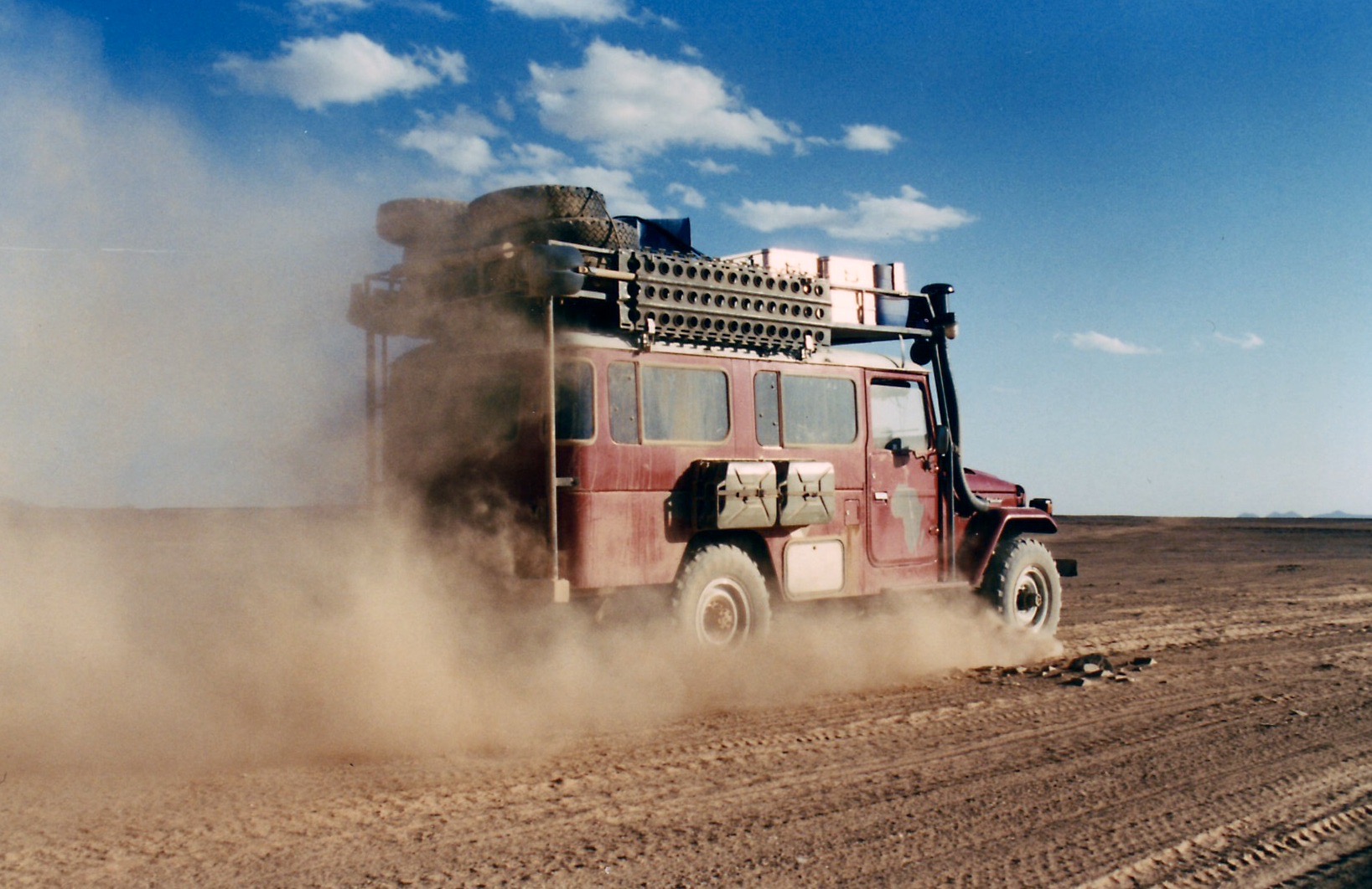
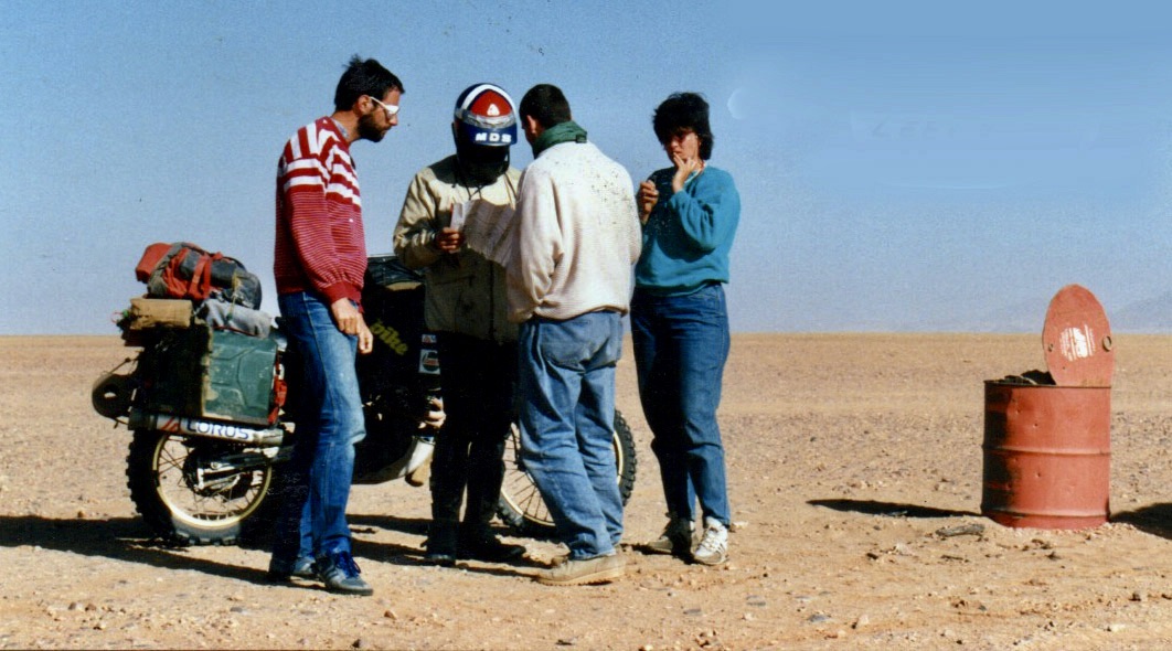
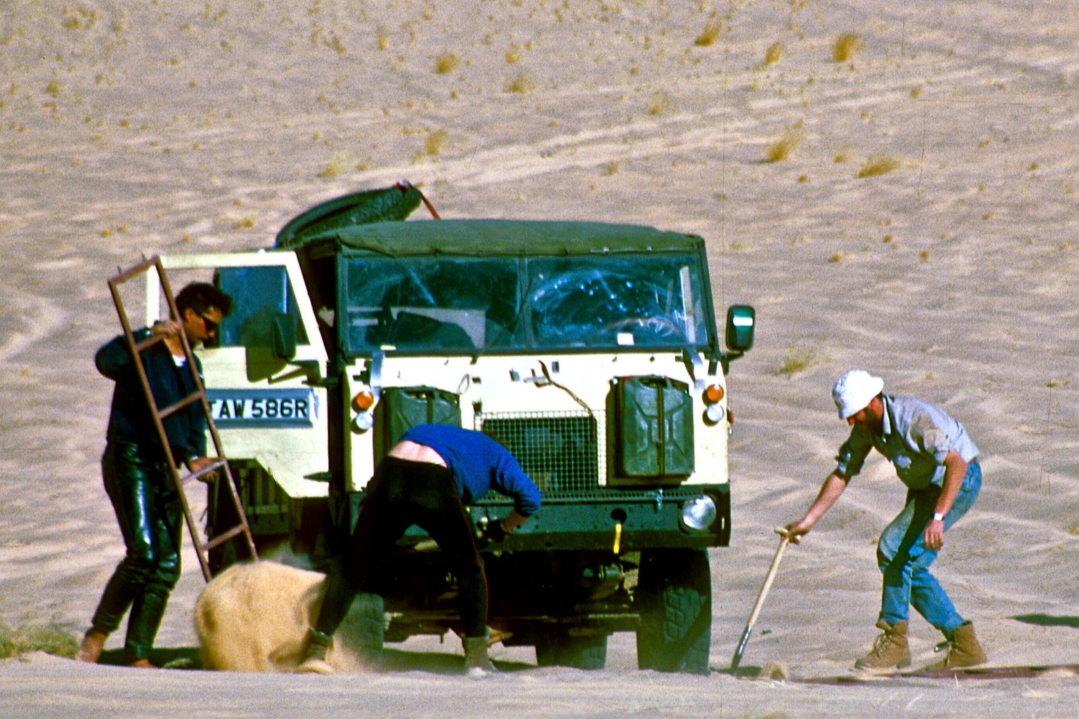
When I first did it in 1987, the road from the north ended in Illizi, 400km from Djanet over the Fadnoun plateau. That all added up to over 1000km and one of the best all-dirt stages in southern Algeria (above), with just enough pre-GPS navigational challenges to keep you on your toes. It was rare to pass more than one or two other vehicles during the transit.


In the 80s the army were tasked with building a road over the Fadnoun’s switchback escarpments. Up to that point trucks supplying isolated Djanet had to take a huge, sandy detour to the west via Amguid, nearly doubling the road distance. Today the Fadnoun (below) is sealed and still a great drive, even if occasionally lorry drivers fall foul of the Fadnoun’s curves, as left.

Morocco is famed for sealing it’s southern desert pistes faster than we can keep up, but Algeria is catching up too, only over vastly greater distances. Despite minimal population, insurgents and migrant traffickers south of the border have accelerated development of sealed roads or defensive berms.

Even when they succeed in sealing this traverse, A6 Tam-Djanet will still remain one of the great routes in the Sahara, but there’s no need to follow th road. There is A7 to the north which we also partly did in 2025, A14 in the deep south I last did in 2007, and at least one more route via Tiririne, Tarabine which we did in 1989 and again in 2006 on the way back back from Mauritania on Sahara: The Empty Quarter.