Readers of Wilfred Thesiger’s Arabia journeys may recall the value his Bedu companions placed on their camels. Although they were at times driven to death (and thereupon eagerly eaten), the camels’ well-being came before that of their bearers, for without camels they were doomed. Steadily hauling loads across vast distances, desert nomadism could reach beyond the systematic walkabouts from waterhole to waterhole. “Ships of the desert” is an apt proverb, for who could cross an ocean without a ship.
While caravans traversing the deserts of North Africa and Asia conjure up a romantic image, the advent of motor vehicles has relegated camels to touristic excursions, a ‘back to my roots’ status symbol in some Saharan countries or merely just meat. The hardship which Thesiger and Asher tasted is a thing of the past and most nomads, ever pragmatic, don’t regret it. For outsiders the idea of camel travel is undoubtedly rewarding, but successfully buying and managing some beasts takes experience.
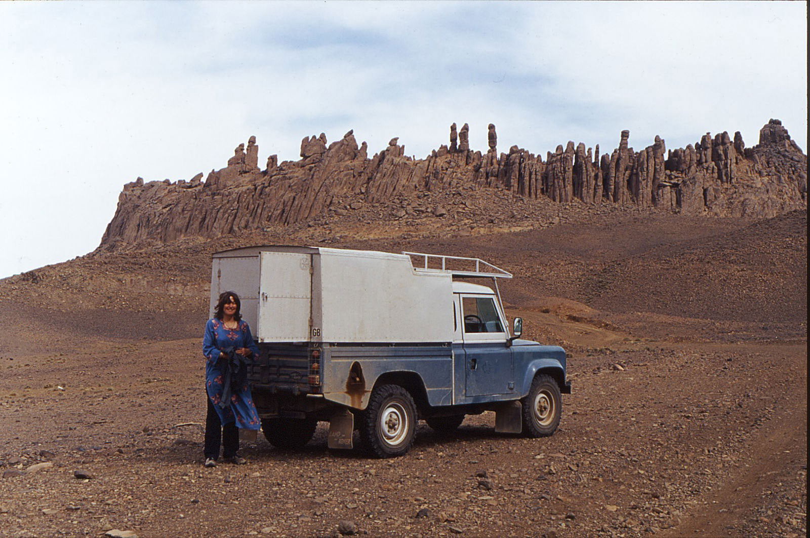
For most of us then, an all-terrain vehicle adapted for payload and long range fits the bill. 4WD sales flourish as emblems of macho ‘go-anywhere’ chic, but the best models make ideal transportation for a desert adventure, as well as day-to-day runabouts.
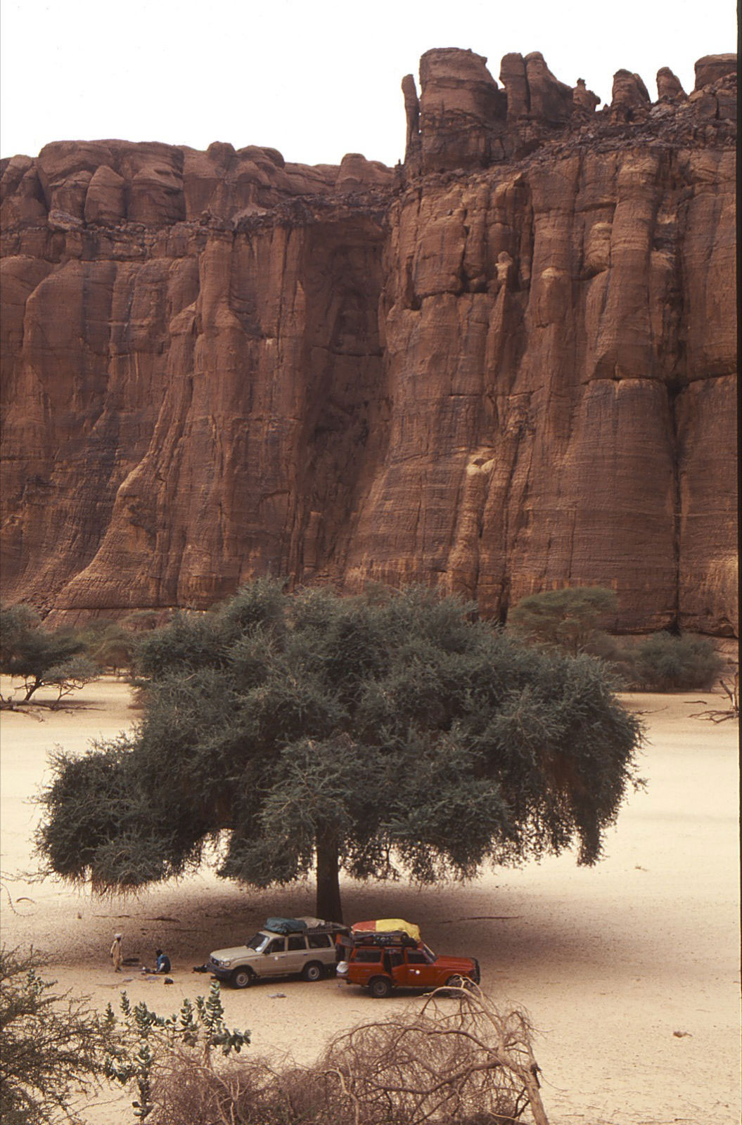
Desirable qualities include: payload and space – choose LWB models with heavy-duty suspension capable of carrying up to 500kg without sagging; robustness – not all 4WD-badged vehicles are fit for the desert; mechanical simplicity no longer sells new cars but it’s what most drivers and bush mechanics can fix; ground clearance is much more useful than all-wheel drive (which explains the efficacy of certain 2WDs in deserts; performance – power to get you over dunes with 400 litres of fuel and water, plus the economy to make that fuel last. Turbo diesels are superior in this respect and the norm for working 4WDs. Finally, consider parts availability and interchangeability. A GM Humvee may turn heads down the Kings Road but you won’t find it’s unusual 17″ tyres or much else GM in the Sahara. Here, as in most other remote areas, Toyotas and Land Rovers rule the roost and there’s a good chance of finding spares or know-how if you need it.
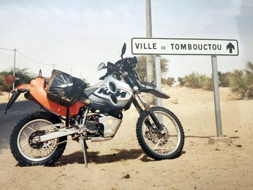
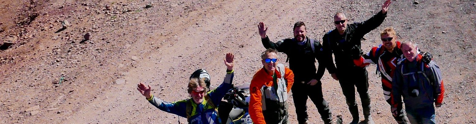
All-terrain trail bikes are closer to the dromedary experience and can reach places 4WDs cannot. For the desert a four-stroke single of around 600cc offers the best power and economy-to-weight ratio; a critical factor when riding off road with a 50kg payload. So too are knobbly tyres – anything else is unstable on sand and gravel. Note that models (and so parts) over 125cc are rare outside the developed world so choose simple and reliable Japanese or European examples.
The limitations of two-wheeled freedom is range (typically around 600km/3-4 days in winter, about 30% of a 4WD) – and the riding skill needed to keep a loaded machine upright in soft sand. However, an agile unloaded enduro bike can make a useful addition to a conventional expedition, saving hours by reconnoitring the best route through difficult terrain or nipping into town on an errand.
Thorough and appropriate vehicle preparation is at the core of a trouble-free trip. A car doesn’t need winches, bull bars or banks of spotlights (there’s nothing to winch off, nothing to crash into except each other and night driving should be avoided at all costs). Focus on fundamental things like the condition of the radiator, hoses, belts and transmission as well as suspension and tyres.
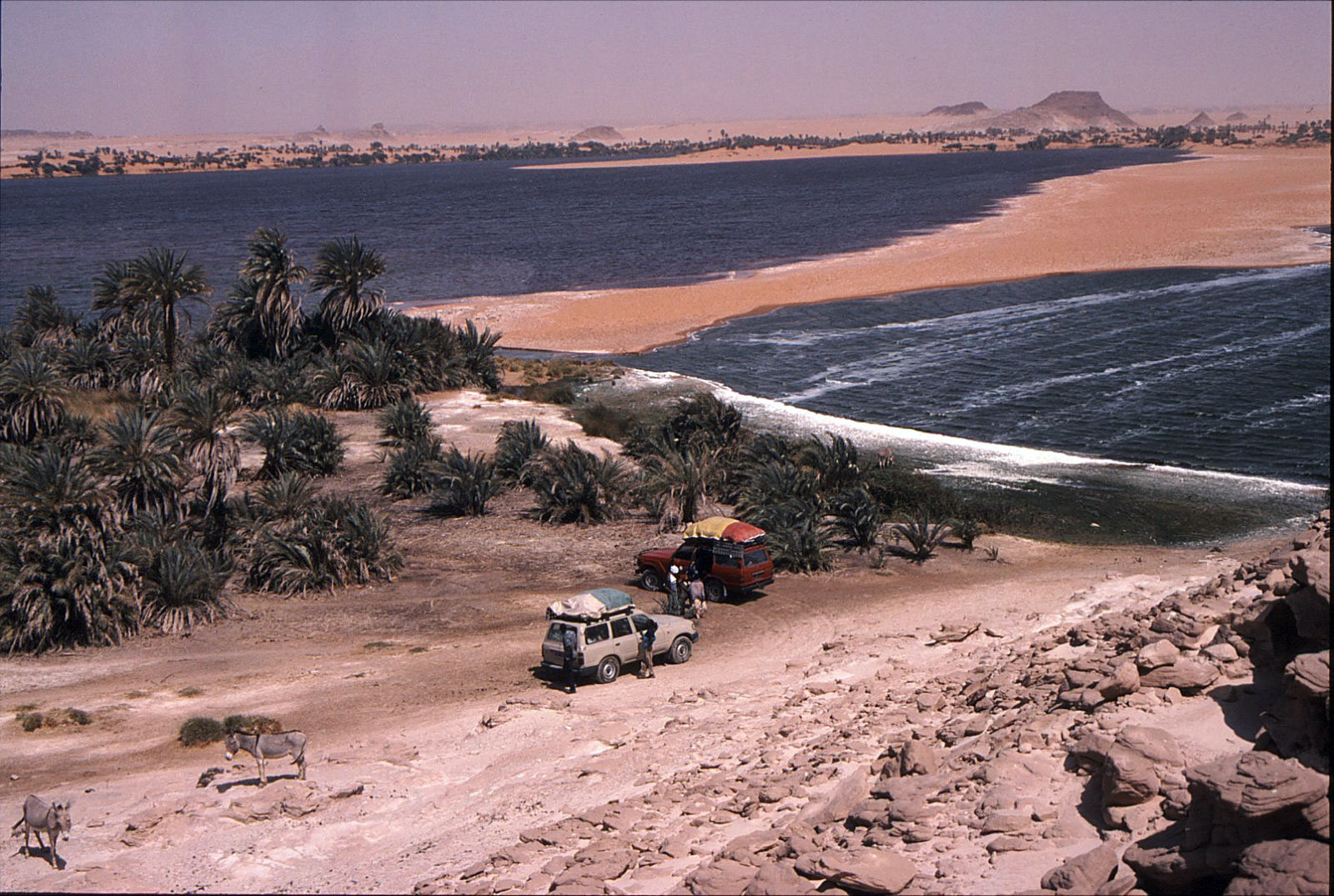
Securing your payload while maintaining day-to-day accessibility is an art. On both cars and bikes mount heavy items like fuel and water low and between the axles. Avoid overloaded roof racks which reduce stability and fuel economy – most desert returnees barely use them. A fully-loaded test drive incorporating an overnight camp will highlight the effectiveness or otherwise of your set-up while giving you a chance to revise it. Start packing gradually a couple of weeks before departure, ahead of the inevitable nerves when mistakes can be made. Calculate fuel needs at 5kpl (15mpg) for a turbo diesel or 15kpl for a bike. This covers occasional dune crossings and so includes a healthy reserve. In winter, water capacity should be 10 litres per person per day – leaving you plenty for emergencies or the ability to pass on impure sources. For various reasons, (quadrupled water consumption being just one) summertime desert travel should be left to scorpions and snakes (which, incidentally, you’ll never encounter in winter).
Long before your vehicle is adapted or even purchased, information about your region must be sourced and may decide your route or even destination. A realistic itinerary and schedule (not a publicity-seeking stunt – even for charity) is as vital as a sound vehicle. I was recently asked to advise a group intent on crossing Mauritania in summer in a double-decker bus! (a prank, I assumed) and another wanting to follow the Saharan Tropic of Cancer (just look at the map…).
I’m no stranger to over-ambitious planning but vague, outdated or inaccurate information, often from official sources, is prolific. One magazine recently discouraged travel through Western Sahara (now essentially Morocco) – a region that’s hosted the main trans-Sahara route for the last decade! So we can be grateful to actual travellers and the Internet which, for all it’s junk, can tell it like it is.
Desert navigation adds up to more than owning a GPS. Without good maps (or a local guide) you’re helpless. For much of the planet the best maps (1:1 million scale is ideal) were meticulously compiled at the end of the colonial era. The Cold War which followed bought about an unprecedented programme of satellite mapping. Neither of these feats are ever likely to be repeated but now stunning satellite imagery is available free on the Web (try http://images.jsc.nasa.gov).
With maps, satellite data and, of course, a GPS to confirm your position and orientation, the desert is yours. In most cases routes follow a recognised track, but in areas of mineral exploration these can get confusing. A good navigator always has a finger on the map and never makes assumptions.
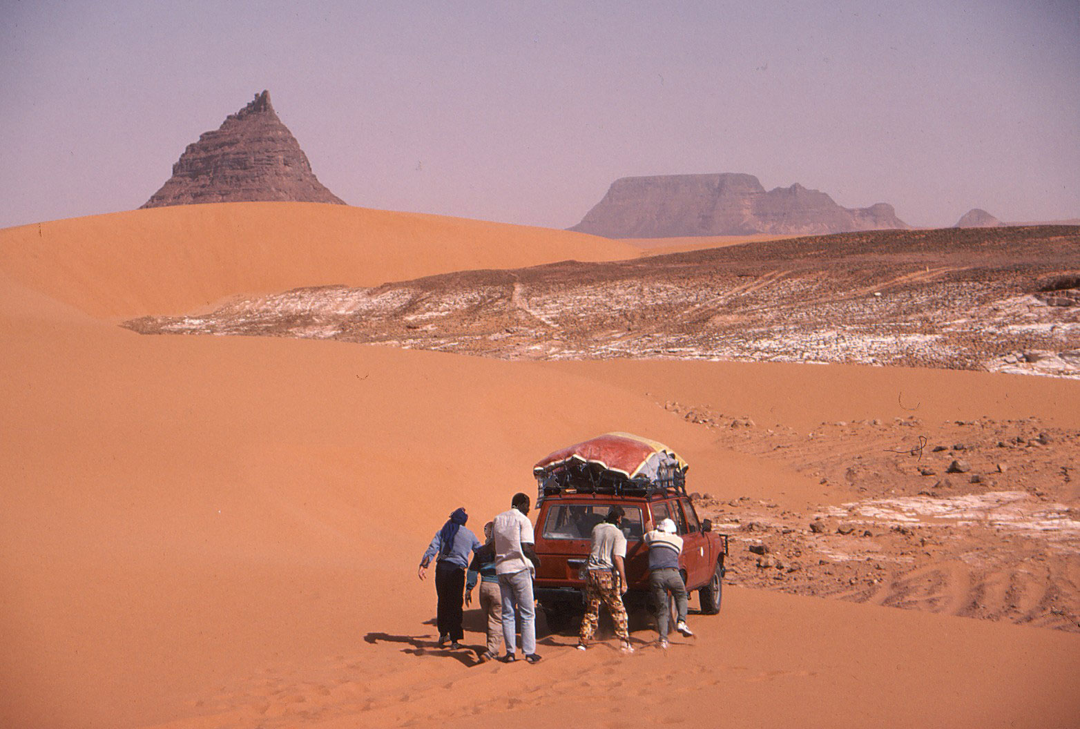
Desert driving is technically simple. Tracks are mostly well formed and level, natural obstacles are avoided, with visibility and weather usually perfect. About 200 kms per day is an average maximum in the Sahara. Dunes are another matter, demanding an incompatible blend of momentum and caution. At times crests must be laboriously recce’d on foot to prevent disastrous tumbles. GPS is of minimal use as passable routes change but reducing tyre pressures to 30% transforms your vehicle’s traction. In my experience a powerful compressor to control pressures is far more useful than sand ladders. Short range radios are also a boon, but may need to be discretely used and stashed.
Much of the exhilaration of desert travel derives from confidence inspiring navigation, traversing challenging terrain and the satisfaction of self sufficiency. The cost of all this adventuring is the price you pay when things go wrong (or indeed just worrying about it). The stories we occasionally read in the Sunday papers about tourists ‘burned alive’ in the Sahara or the Outback are usually holidaymakers in a rented hatchback who bite off more than they can chew, not those engaged in thoughtfully-planned adventures. Then again, earlier this year three experienced Dutch travellers were robbed and murdered in northern Mali along a smuggler’s route long avoided by tourists.
A typical survival scenario develops from a combination of bad luck and poor decisions, planning and preparation (as with the Dutch). Mishaps can happen to us all but avoiding hasty judgements &endash; understandable when in a mild panic) &endash; may your life. On my first Sahara trip I broke down halfway across. Having repaired my cracked fuel tank I decided to turn back. Things didn’t get any easier from that point but knowing when to turn back has enabled another two decades of fabulous desert travel (plus the bits in between!).
Like GPS, satellite telephones make it sound easy, but without a contingency plan in place who are you going to call? The deserts of developing countries have no rescue service. You’re on your own, but with reserve water and other vehicles the danger is minimised.
An absolute meltdown scenario might be wrecking a vehicle in the dunes while lost, alone and off-route. Without a mobile vehicle you’re in the hands of the gods so, as in the Flight of the Phoenix movie, or a Bedu thrashing an exhausted camel, do whatever it takes. If rescue seems possible have a fuel-soaked tyre or seat ready to ignite – or a head lamp and battery at night. Signal only when signals might be noticed, not on the off chance or at distant aircraft. Conserve energy and water by lying in the shade, but don’t underestimate your ingenuity in a crisis – a strength few of us know we possess. Walking out, unless you’re certain of reaching an attainable destination, is a last resort during which most people perish.
An arid wilderness is unforgiving and the crux of desert survival will not be found in an SAS manual, but stems from an appropriate vehicle, season and destination.
Originally published in Geographical magazine, January 2001