
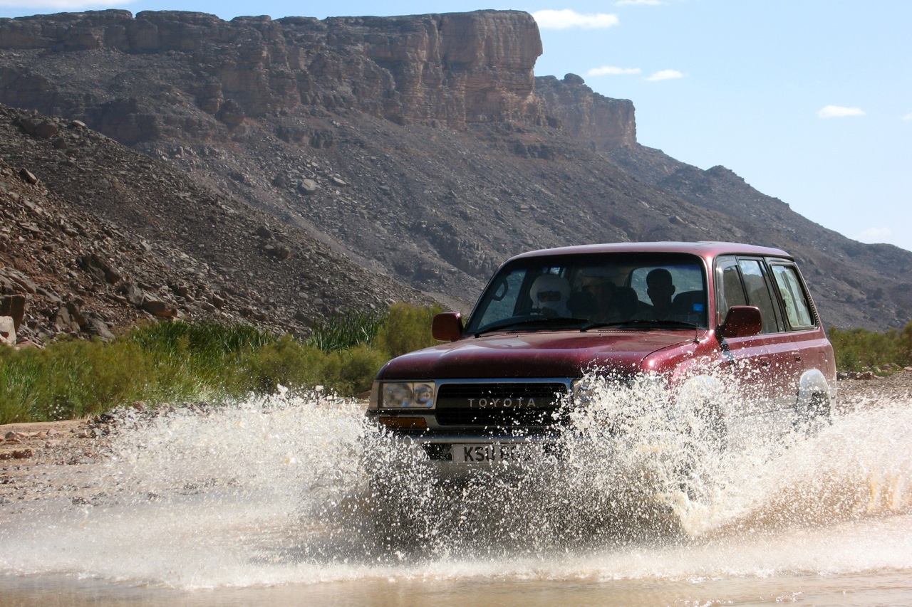
My mission this time: to hand over a desirable 80 series Land Cruiser to Mohamed in return for guiding and other duties on my forthcoming big Sahara crossing. He can’t buy the car in Algeria, even by shifty means – no one outside le pouvoir can. So it needed me the overseas owner, to drive it just over the border into Mali where it could get ringed and brought back into Algeria under some other Algerian documentation. Selling cars is an old game in West Africa, though not quite like this. I’d joined a similar run flogging old Mercedes in Mauritania a decade ago. With me along for the ride to Mali, Zander and Martin.

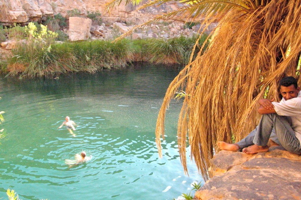
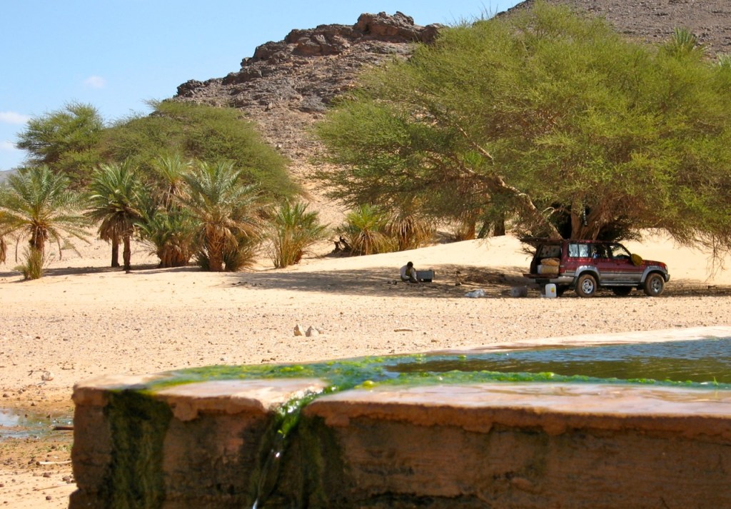
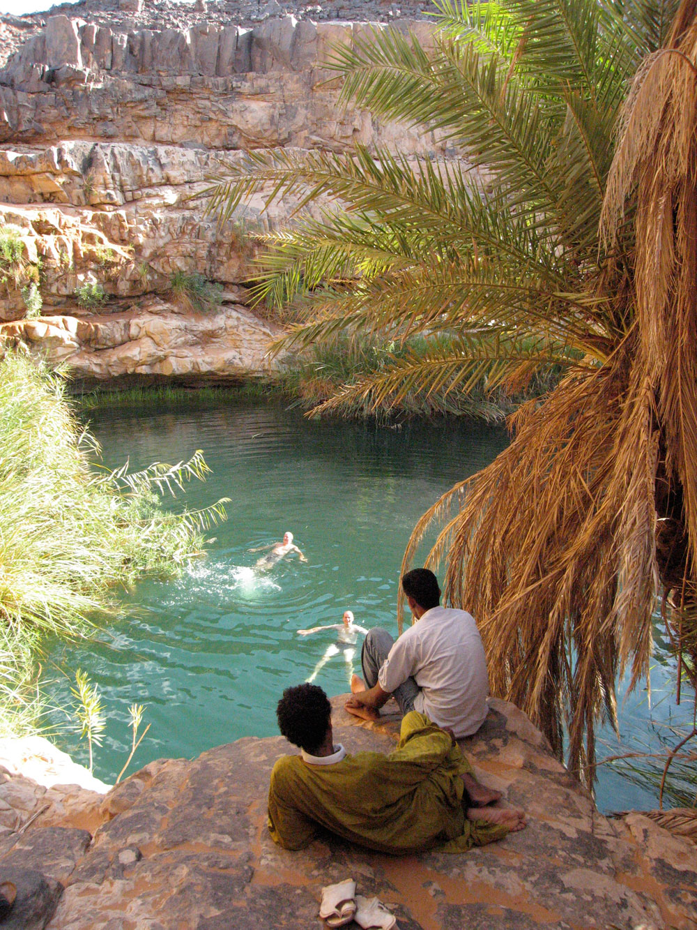
At Algiers port they were a bit bemused by a tourist car (we were the only foreigners on the boat), but despite 4-5 hours queuing, we got to In Salah the next afternoon and from there took a great run along the Old Hoggar piste east of the TS highway, past old Hassi el-Khenig to a camp and a splash at the lovely guelta of Tiguelguemine (right). Next morning a little scorpion ran out from under the mattress to be nabbed in seconds by a pair of moula moula birds.

Just down the track is Tadjemout fort and source, (left), a place I’d use to launch camel tours a few years later. Then on to Arak Gorge (below) where I got in trouble in 1984 and which now has a bridge or two over the creek. Down the TSH to Elephant Rock behind Tesnou then past In Ecker and into Tam.
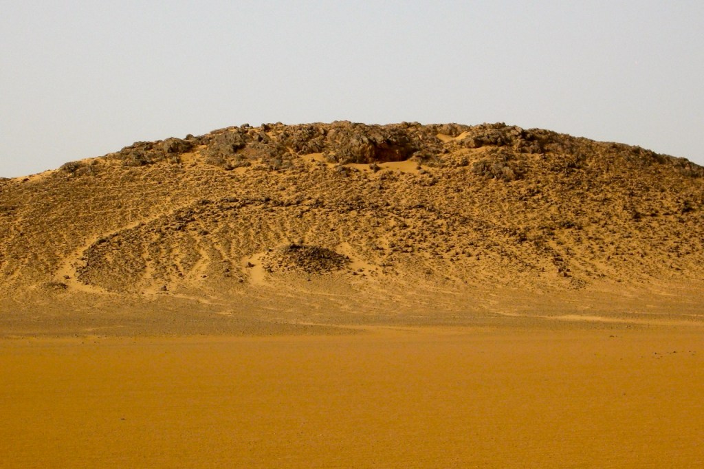
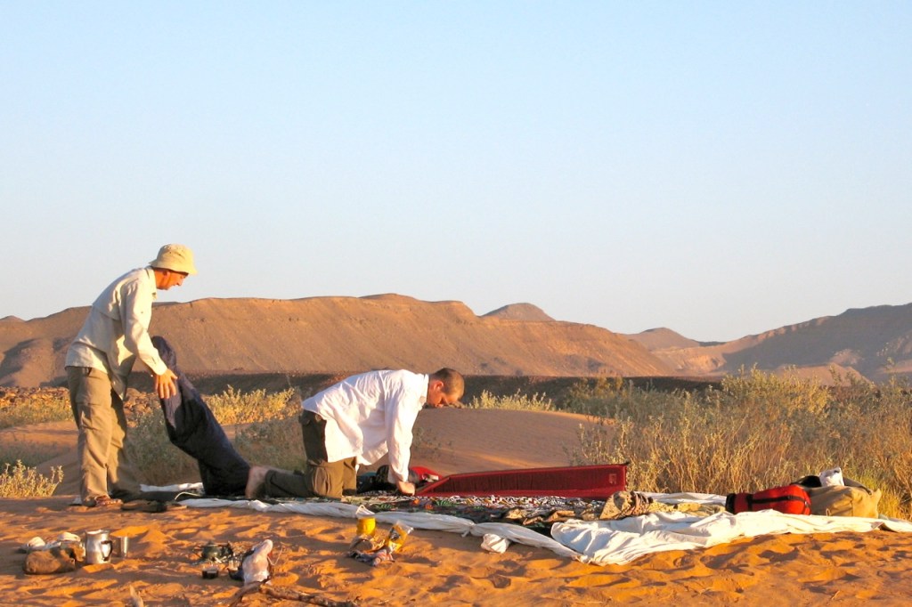
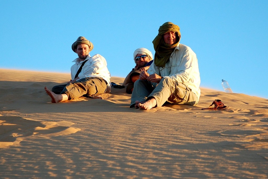
We’d missed a whole lot of rain by a couple of days and only on one night among some Tanezrouft dunes did the night-time temperature drop below 24°C. Even though I expected a humdrum run along mostly known routes, as always the desert delivered and we saw many unusual things and had some interesting encounters.
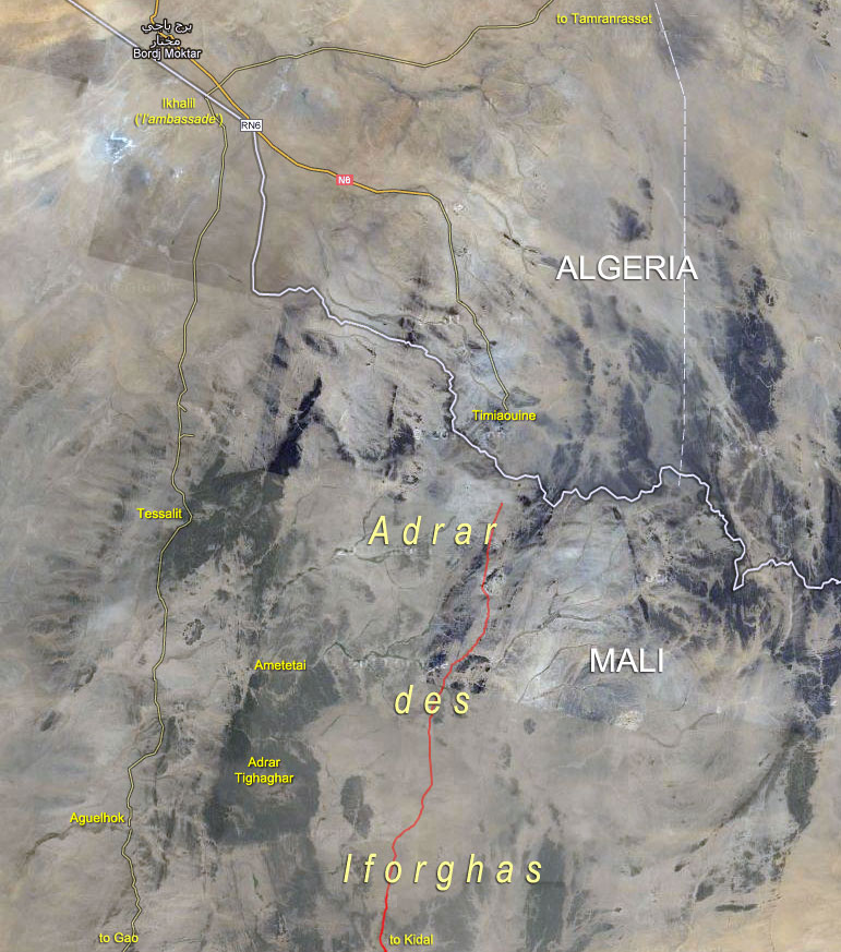
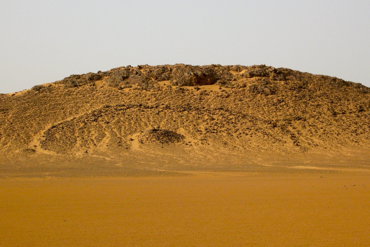
We took the high route to Bordj BM out via Abalessa, through the still-muddy oued and out onto the wide open Tanezrouft, passing a pre-Islamic tomb (below) on an isolated hill. It’s funny how I can spot these easily now. On my first Sahara trips just hanging onto the bike was hard enough and I noticed nothing. The hot run out across the Tanezrouft unrolled, and a day later dusty Bordj didn’t seem to have changed much over the years. We checked out of Algeria. We’d be checking back in shortly, but – ahem… sans voiture.
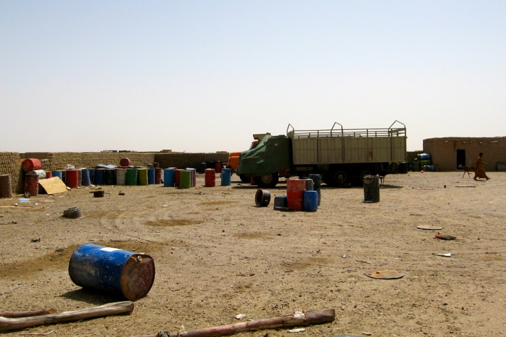
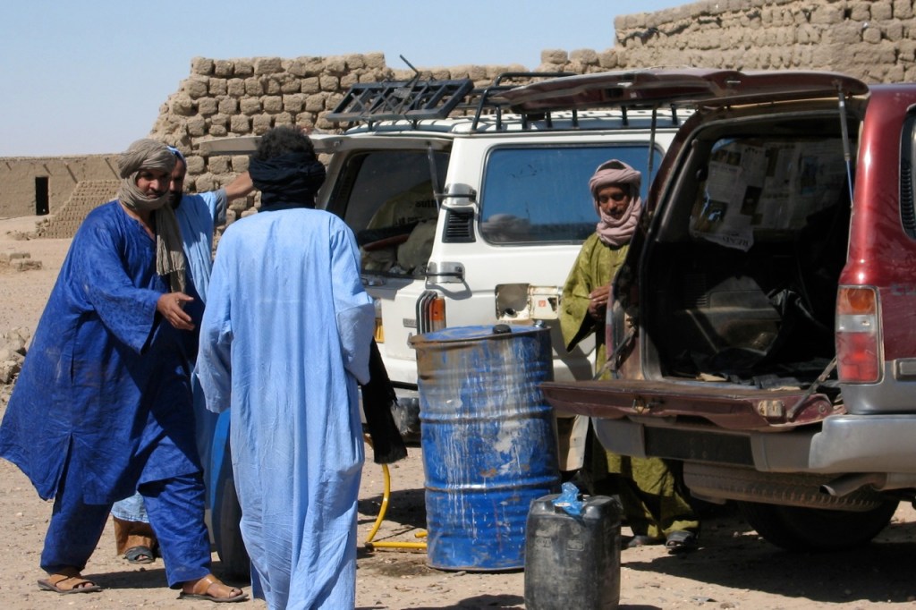
A few clicks south of BBM, Ikhalil (In Kalil; El Khalil; not on any paper map) is home of the Ambassade, a chummy contrabanders compound – one of a few here in No Man’s Land which was then seemingly tolerated by the nearby towns. Goods pass in and out of here: fuel, cigs and other subsidised commodities from Algeria southwards. And from Mali goat meat and cloth comes north. As for the serious stuff, it seemed impolite to ask.
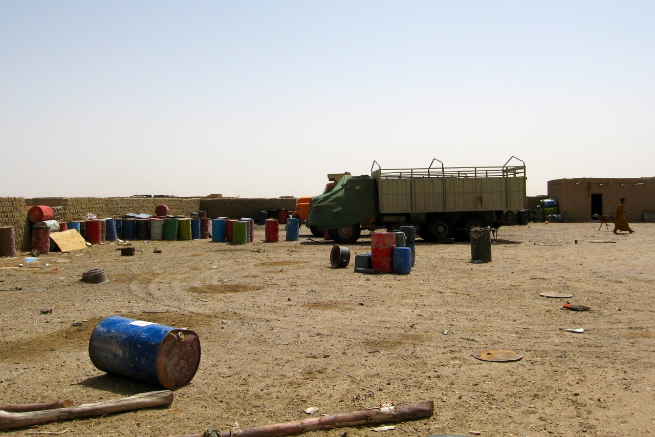
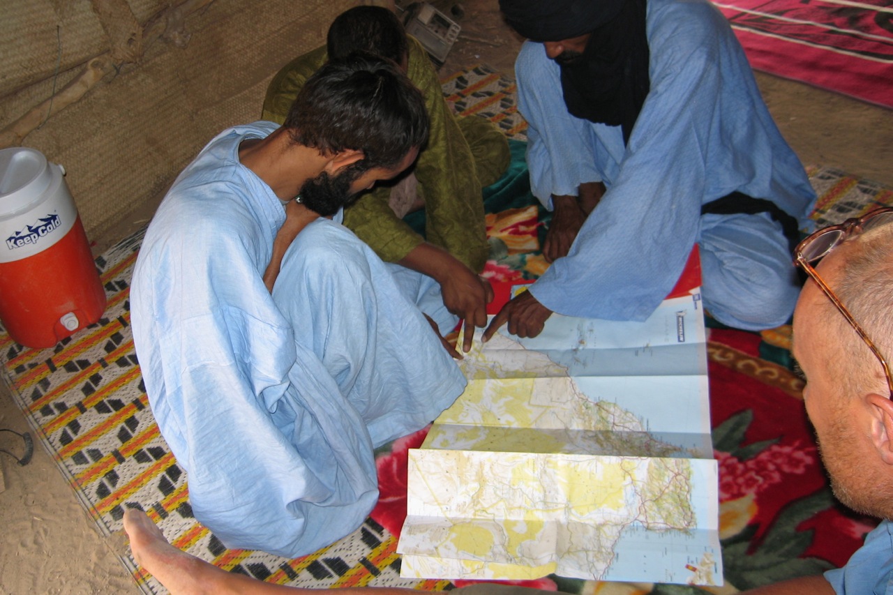
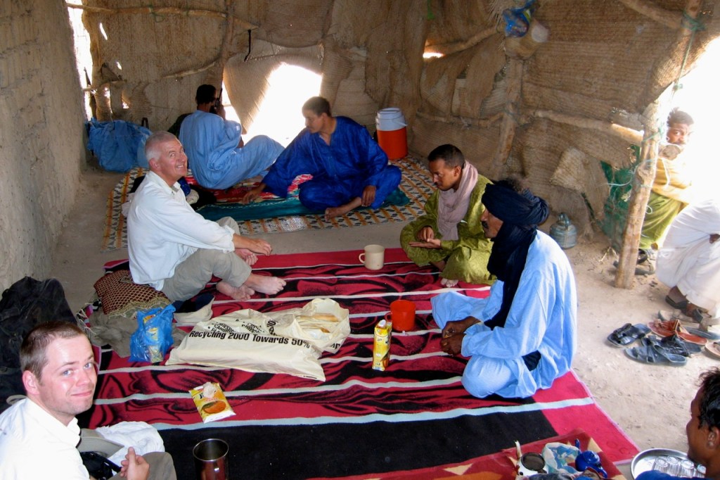
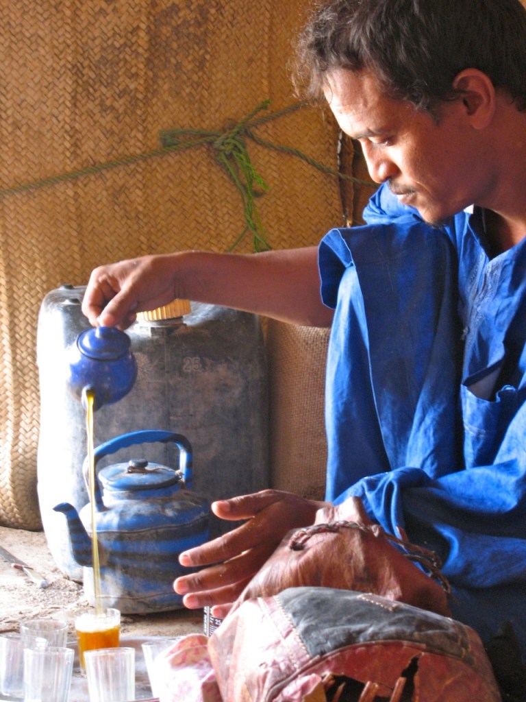
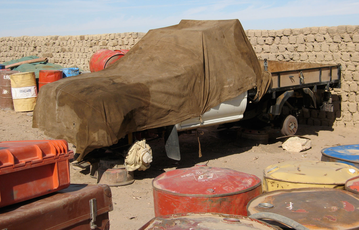
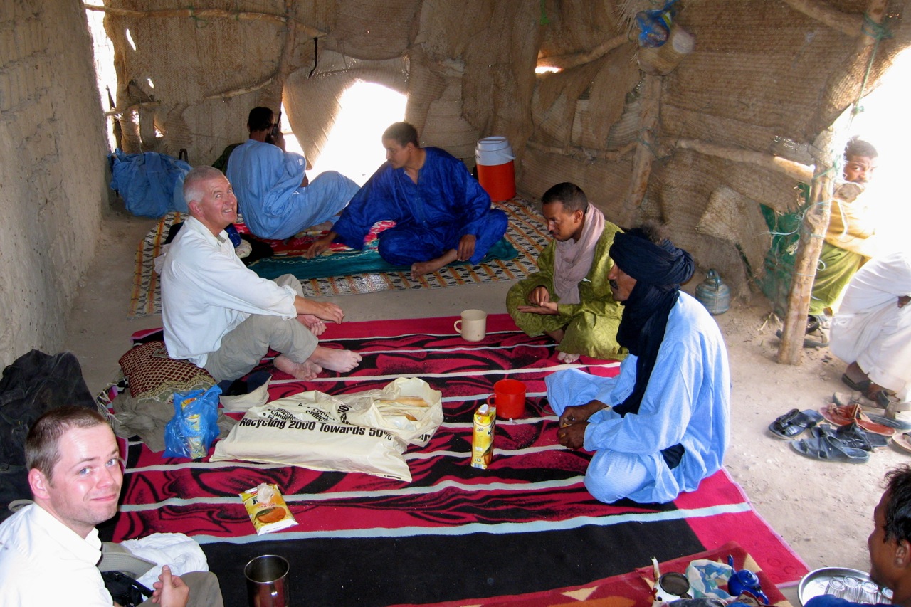
Ikhalil looked like a Van Damme movie set where, if you let your imagination off the leash, a dusty cover gets pulled back off a Merc truck to reveal a shiny Russian Vympel A-350 missile for sale to the highest bidder. The guys here were all Mohamed’s mates, Berabish traders from Timbuktu doing direct runs there and back, and even across to Zouerat (Mauritania) with cigs and other contraband. Their welcome was warm and we discussed my forthcoming crossing of northern Mali from Mauritania. To get bossman Bou on my side I’d brought him a nice solar panel and a couple of Thuraya sat phones – the ‘iPhones’ of the Sahara. He and his cohorts will prove to be a useful contacts if we got in trouble in Mali next month [we did and they were…] as well as being a source of much-needed fuel after our 2000-km crossing from Atar. Ikhalil 2010 – not so rosey

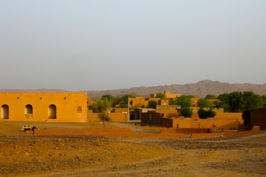
Tessalit (left) also looked the same after 15 years or more. Apparently it was ransacked and abandoned during the 1990s Tuareg rebellion and never really recovered. I let the guides sort out the laisser passez with the help of a big box of dates for the police chief. But up on the hill fort, the chef de poste could not wait to get his bite out of our cake and played all the usual power games once he clocked what was going on (flash car; quick sale).

“Ou est mon cadeau!” he roared as he feigned an inspection of the back of the car. The nearest thing to hand was a jar of Bertolli sauce which he snatched disinterestedly. Back then Bertolli was good stuff, the Cirio of its day.
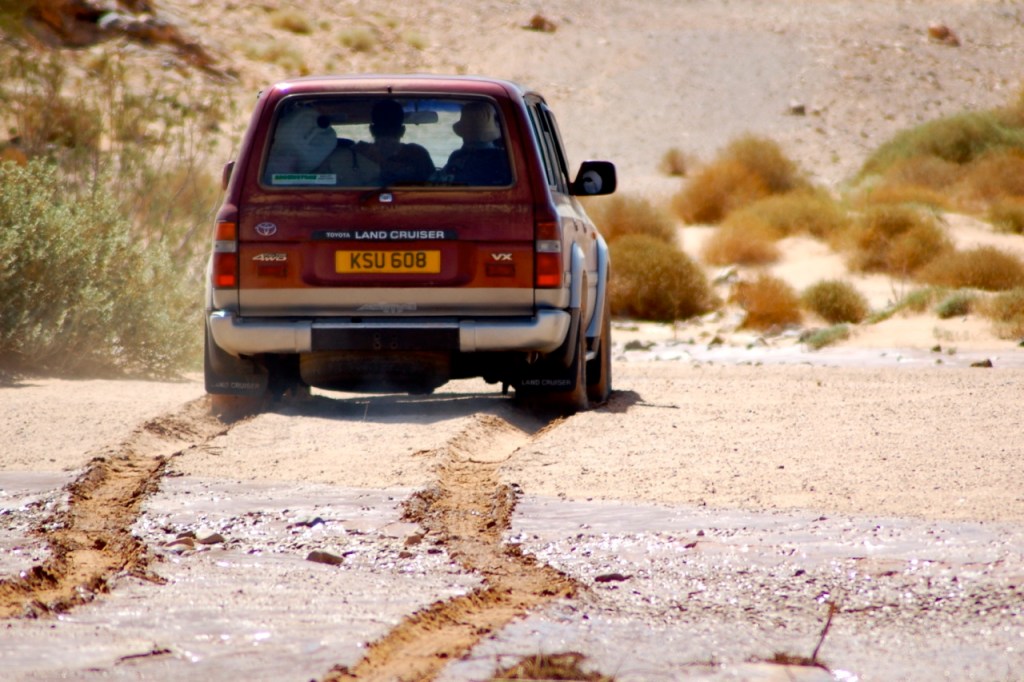
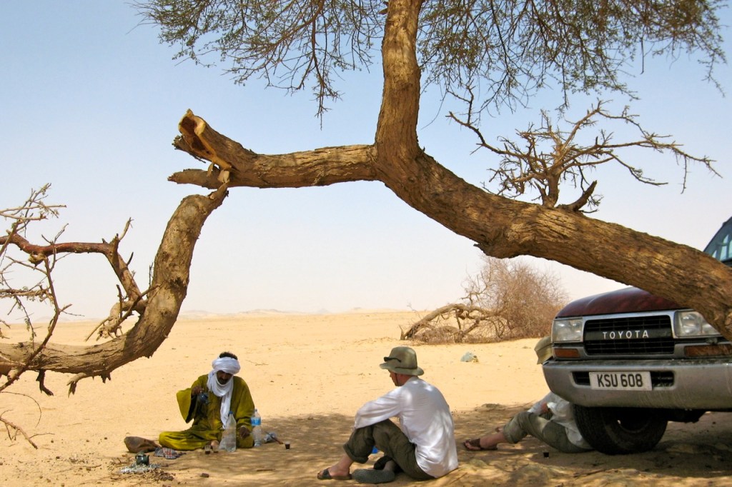
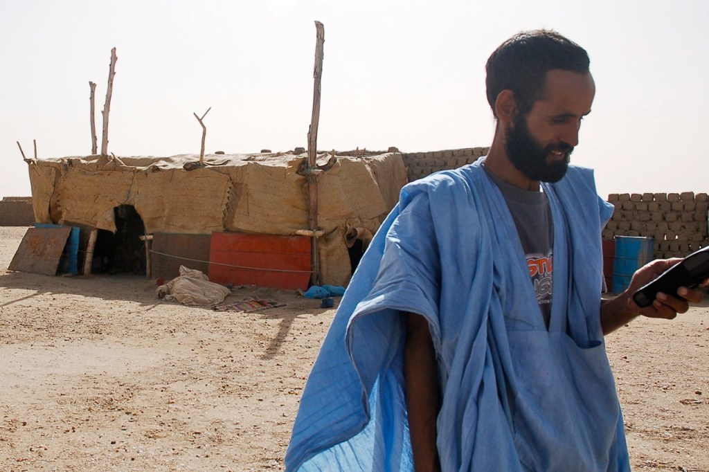
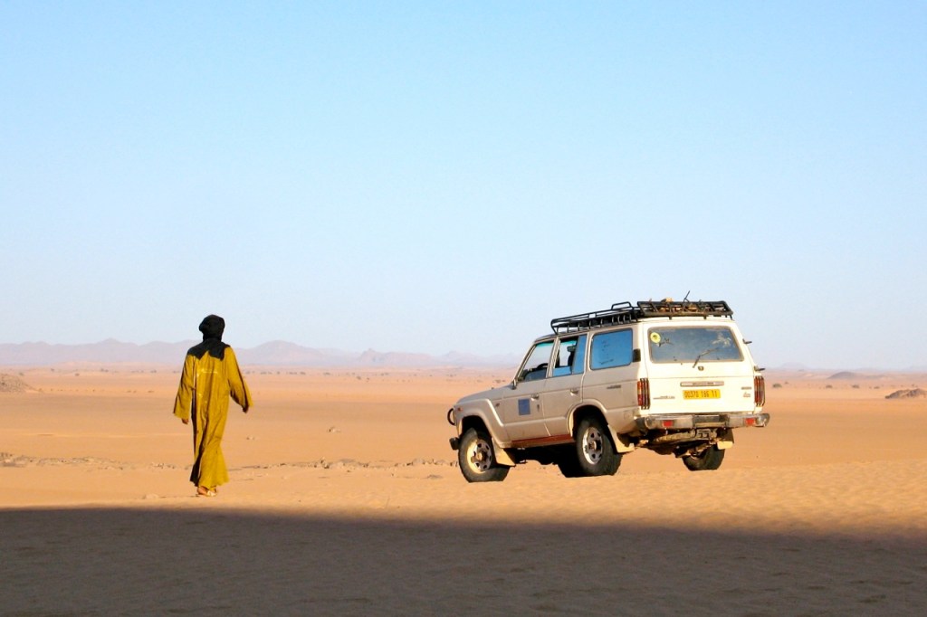
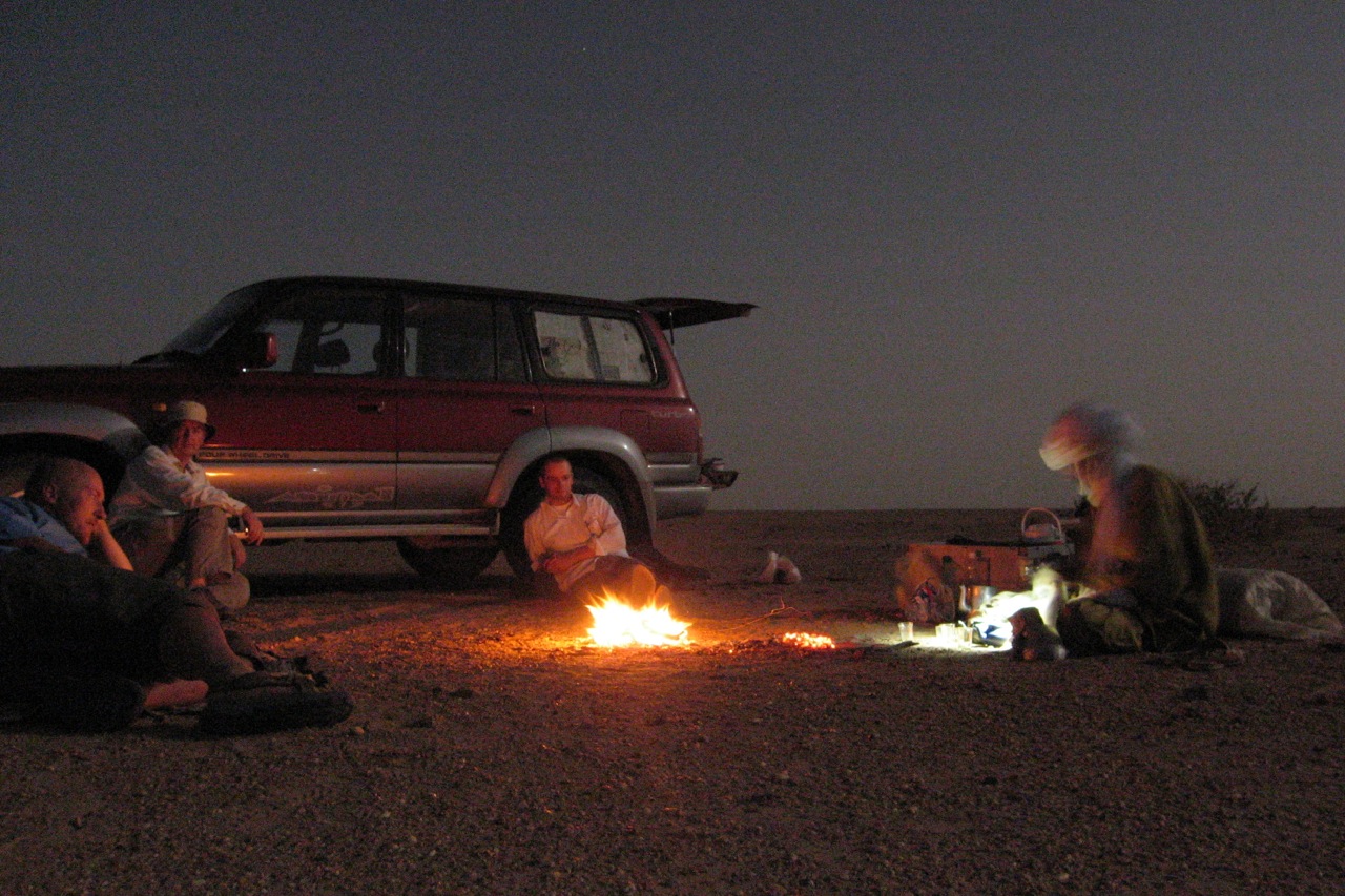
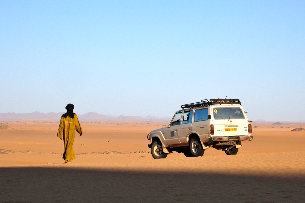
Back up on the terrace we sweated it out; it was a relief to leave most of the grubby negotiations to Omar who was taking the Tojo away to recondition its identity. In the end, despite a visit to the mayor, Tessalit proved too greedy for Omar to complete the transfer so I signed a bit of paper back up at the Ambassade next day and left it with Omar to take down to his home town of Gao to get re-registered. We turned back for Tam in his 600,000-km-old Tojo 60 which I soon christened Le Chien. And that was before I even drove it…
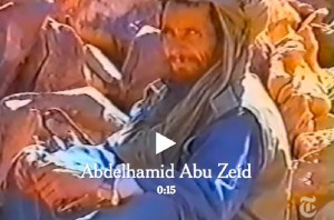
On the way back through Bordj, the Algerian police sort of knew what had gone on but could do nothing about it as my car had left Alg legitimately. As we waited, some shifty-looking foreign guys with beards turned up off a Timbuktu truck and put me in mind of a GSPC desert training camp, probably not so far fetched. Nearby, a week earlier some GSPC had reportedly been shot up by Malian Tuareg. These were the days when the Kel Iforghas Tuareg put up a fight against the incoming jihadists. Kidal continued to be tense after the events of the summer and now is a war zone. Of course the beardos at Bordj may have been nothing more than devout students coming back from some Koranic school, but these days this is how the mind whirs away on seeing bearded South Asians at an outback Saharan border post.
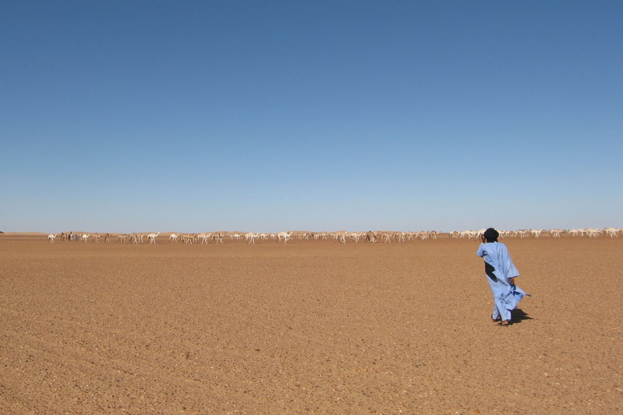
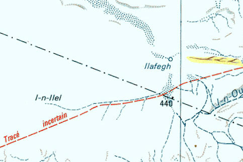
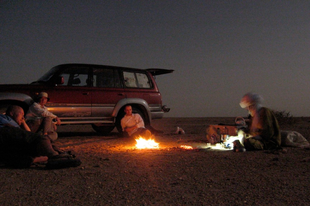
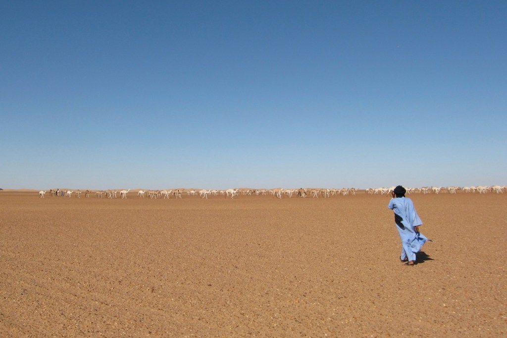
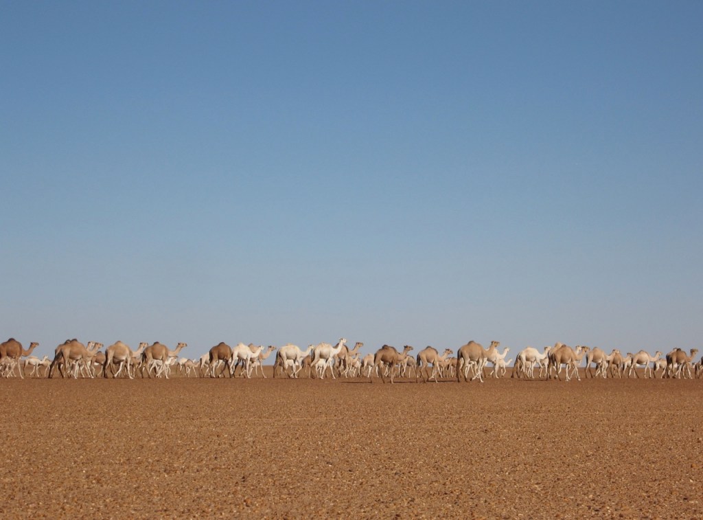
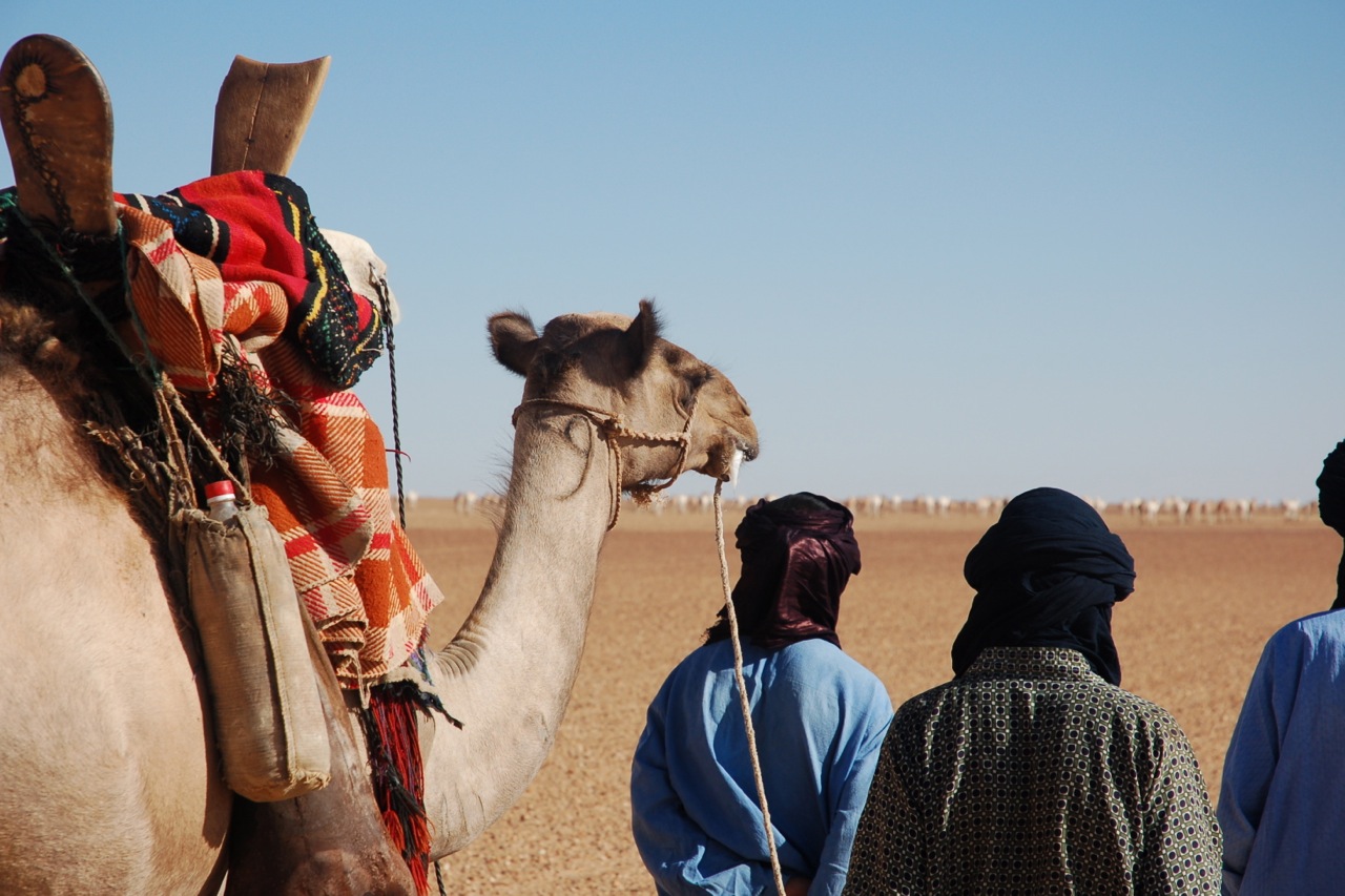
Out of Bordj we spent the night among the dunes near Ilafegh wells where we saw a huge camel train leaving after being watered. As always, Mohamed couldn’t resist his nomad’s instincts and chatted up the camel herders to see what and where and who.
I never imagined camels out in the utterly barren Tanezrouft, but the recent rains (there were pools here and there) had driven the nomads down in anticipation of a feed. It was to be our only cool night and a real tonic after the unrelenting heat and associated locusts, mozzies, small scorpions and other irksome bugs. Hot days are fine I decided, but hot nights are a drag.
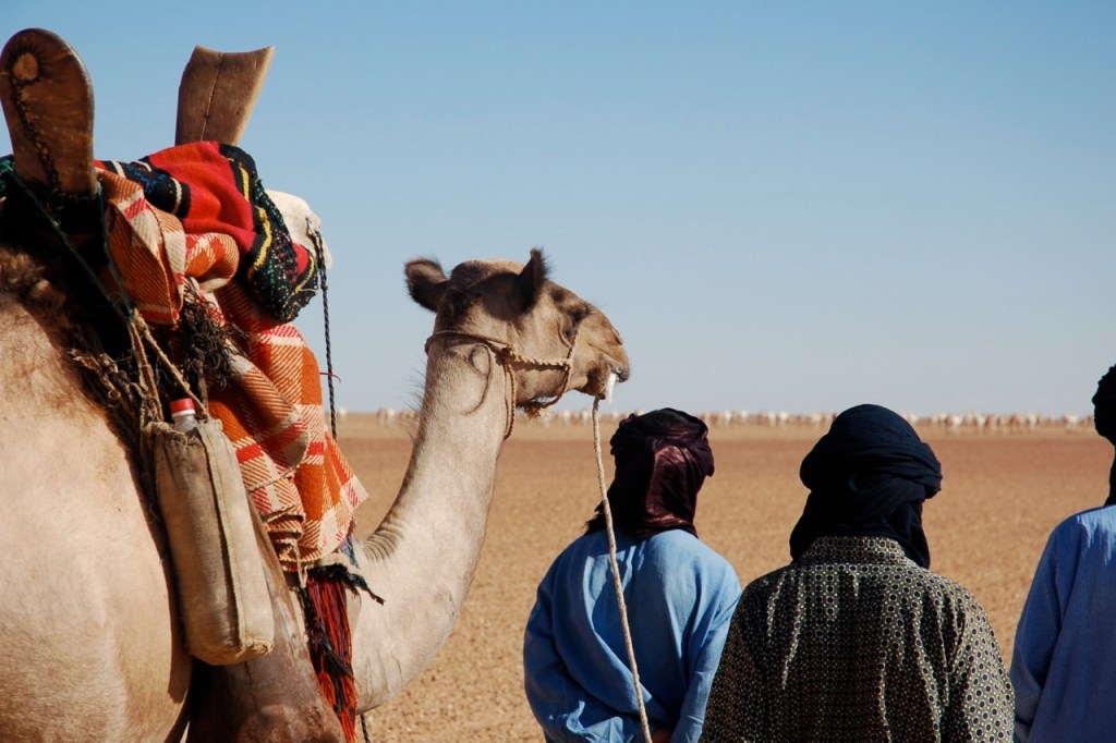
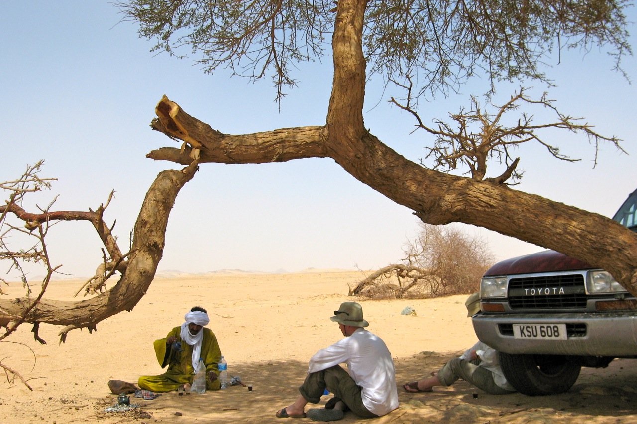
On the way up we came across an old M.A.N tanker and ever-chummy Mohamed got out for a chat, having run such a lorry himself back in the day. The shady guys were taking Algerian fuel down to Ikhalil or somewhere like that, and when I got out to stretch my legs and eye up the front of the truck, the edgy driver gunned the engine and slipped the clutch as a warning to clear off and get back in the car.
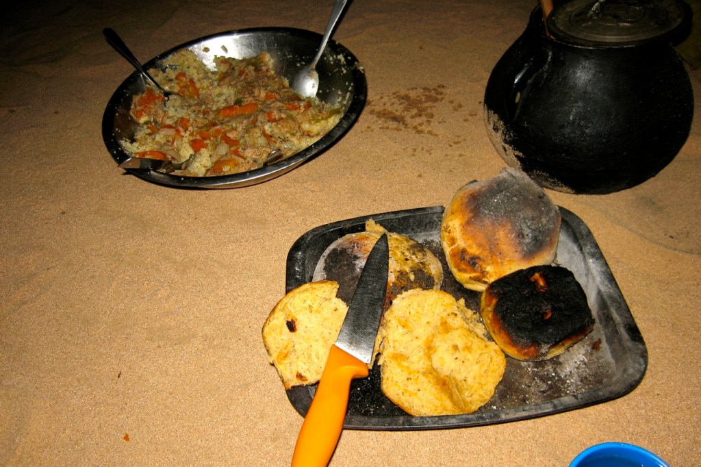
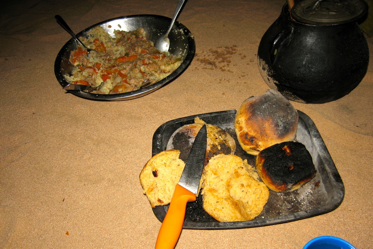
We spent the next night among some granite hills near Abalessa where I finally got round to experimenting with making bread in preparation for SEQ. And for a first go it turned out pretty well, a very passable combination of burned dough cooked in a tin on the embers.
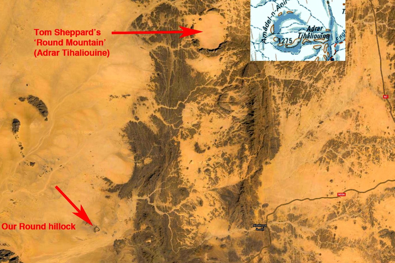
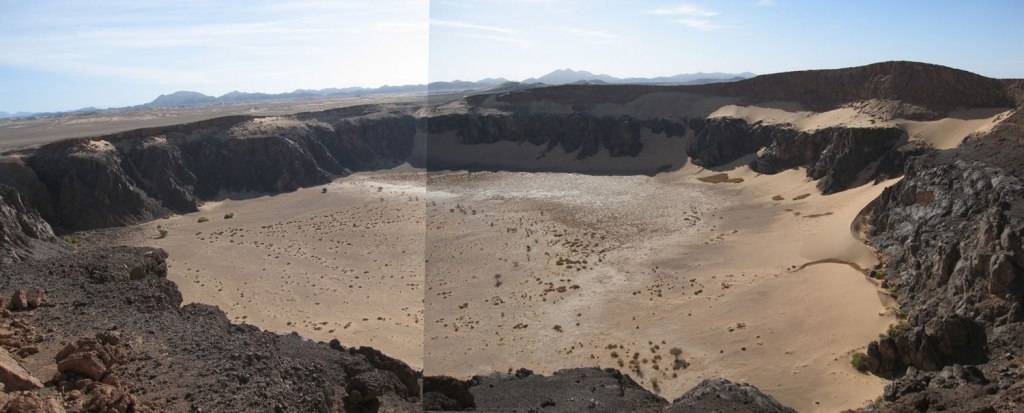
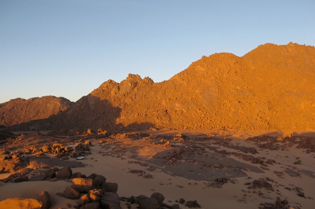
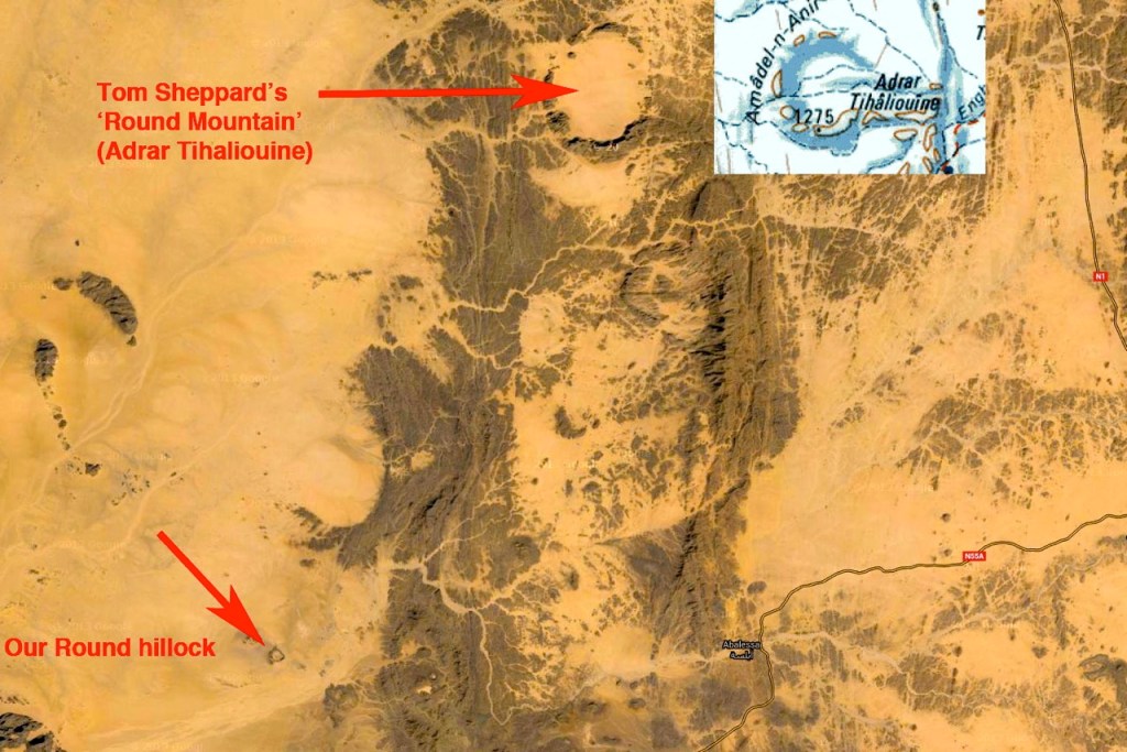
Next morning we visited a crater hill. Years ago I remember reading an article by Tom Sheppard about his quest to reach a curious crater formation he’d spotted northwest of Tam. ‘Journey to the Round Mountain‘ he called it, riding there on his XT600 Tenere. That was probably Adrar Tihaliouine to the northeast, and this similar crater reminded me of it. A good place to stash rustled camels!

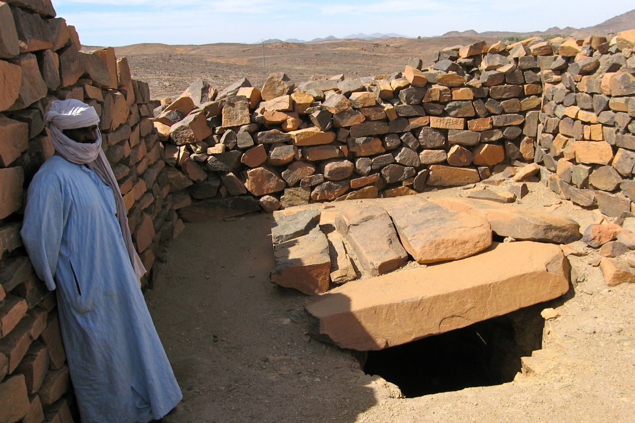
In Abalessa Mohamed led us to the tomb on Queen Tin Hinan (left). Interesting little museum with the rocky tomb round the back, but only pics of the treasures remain; everything was pinched by Prorok and his cohorts in the 1920s (his book, Mysterious Sahara reviewed).
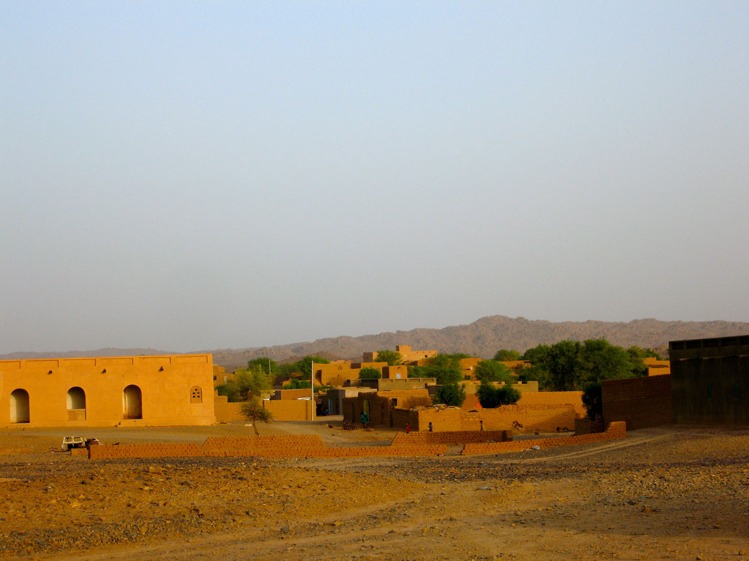
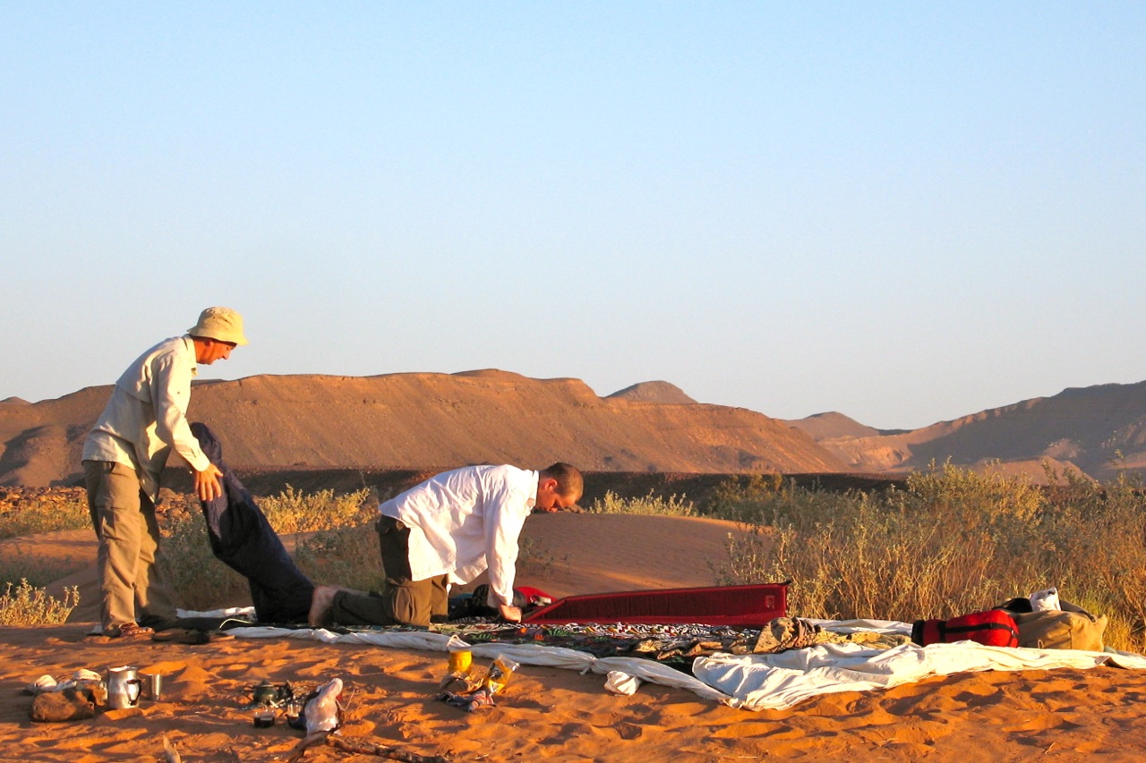
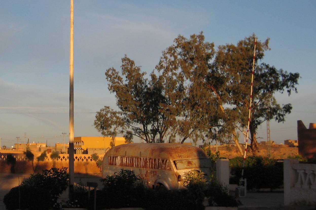
All that remained was a bone shaking ride back into Tam in the no-brakes, clockwise-only power steering Chien, followed by two days idling in the old Camping Dessine, the original campsite I used to use in the 1980s. It’s still home of the old Trans Saharienne bus (below), rusty away slowly by the reception.
We killed time by following the shade, watching our clothes dry before our eyes, waiting for Ramadan cafes to open up and cruising around town in the Chien, logging a GPS map for future use. Then, when the time came we flew up to Algiers, Europe and home.
October 2006. Some pics by Martin and Zander.