
Many old Algeria hands will fondly remember what I called the 470-km Graveyard Piste from Hassi bel Guebbour (‘HbG’) to Illizi, just before the epic Fadnoun plateau crossing to Djanet. We first did it in 1990 and, with a combination of dunes, jebels, nomads and wells, it added up to the best 1000km of off-roading in Algeria at the time.
In Sahara Overland It was called Route A2 (below); the macabre name giving it an added cachet. When it came to covering Dunes for the Desert Driving dvd in 2002 (below), Toby Savage and I shot it along the ‘Graveyard Piste’.
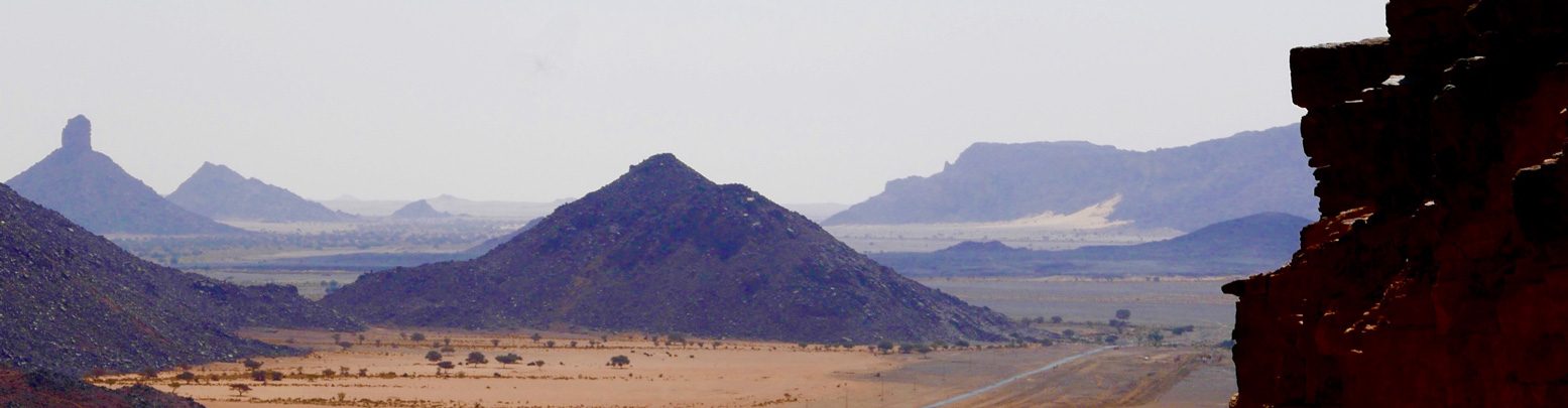
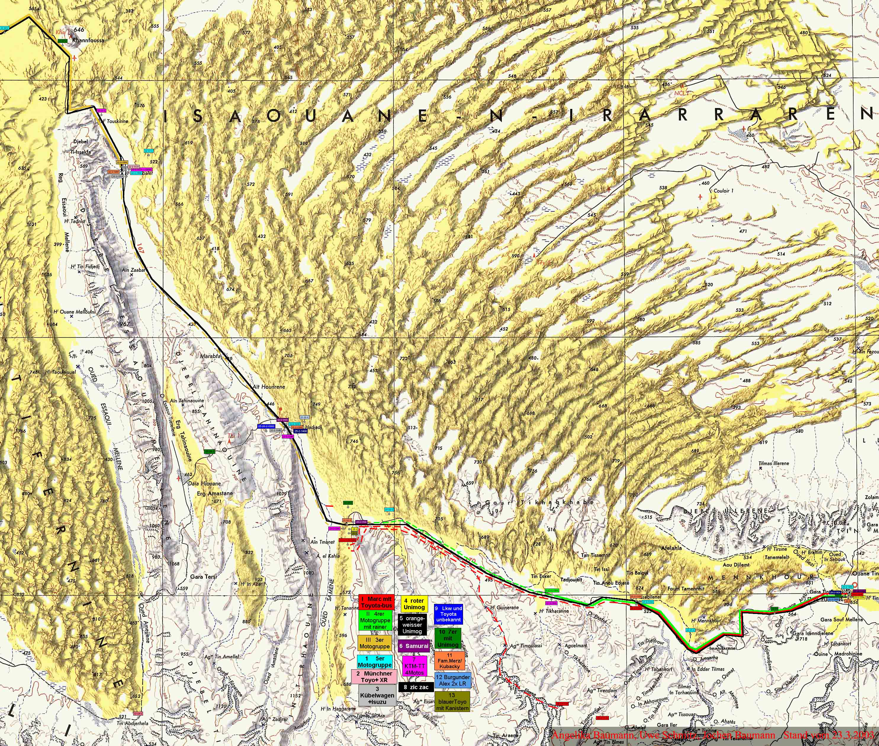
In fact I’m told the true Gräberpiste was coined by a German guidebook writer in the early 1980s and refers to Route A12 from Amguid which after passing under Erg Tiffernine then cut across the Jebel Tahinaouine to join A2 at Ain el Hadjadj via the Erg Amastane (above right), passing this unusual structure, a probable vestige of the Senussi battles which raged in this valley in 1916. a link I’ve always wanted to make. From there it continued to Illizi along A2. There’s a whole Wikipage on the Gräberpiste and France’s battles with the Tuareg there.
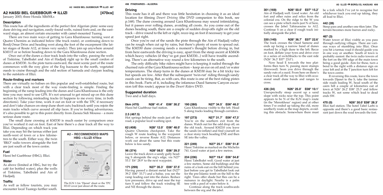
Back then to access the dune-rimmed ‘Hadjadj’ valley which led to Illizi, you had to turn west at Quatre Chemins junction south of HbG and head out towards Amguid until you saw a metal hut. Here, you headed east up a sandy ramp that led into the rolling Erg Issaouane dunes until you saw Gara Khanfoussa hill (below). At this point you turned south. You usually followed tracks in the loose sand and passed a pole or two, but in the pre-tracklog era, in the three or four times I did this crossing, it was always nerve-wracking navigating the maze while maintaining momentum to avoid getting stuck. Car or moto, I never went the same way twice.
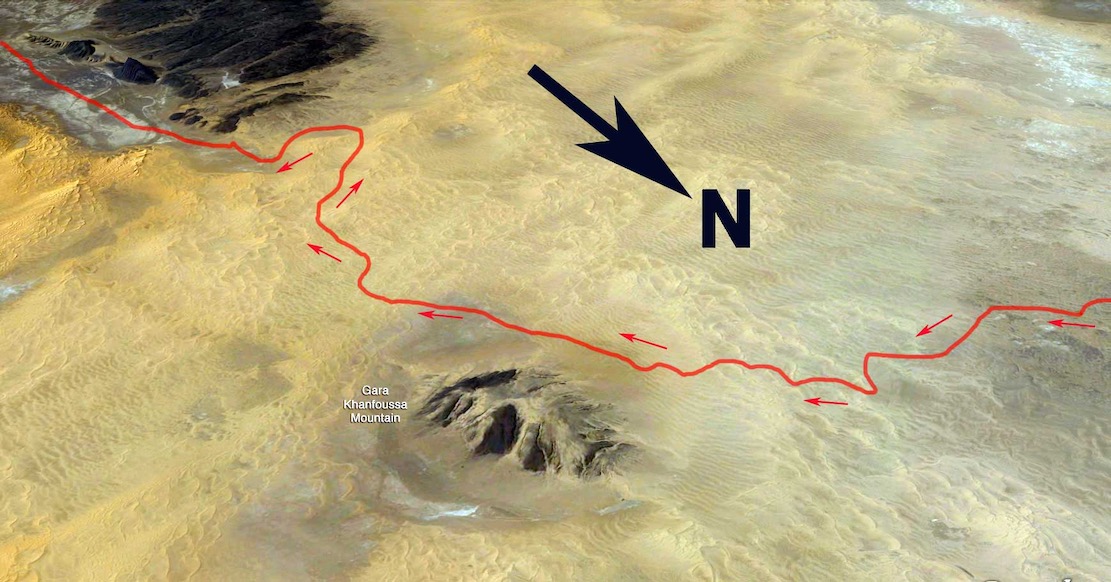

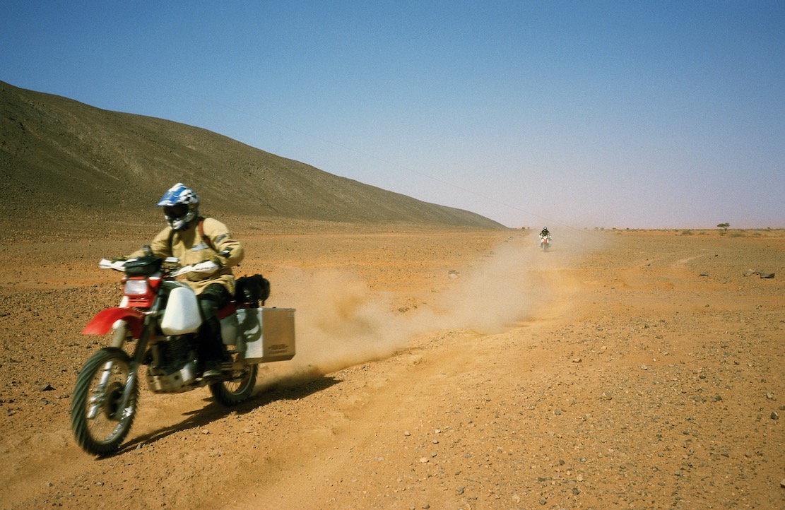
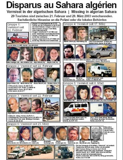
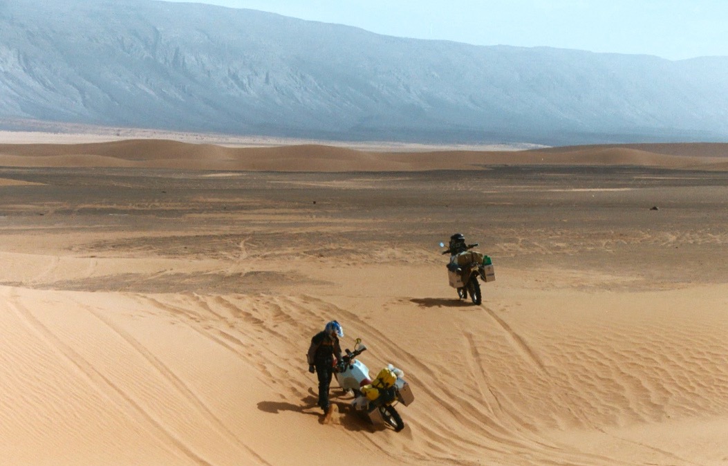
The ‘Graveyard Piste’ – so named because of the pre-Islamic tombs and even Christian colonial soldier graves in the vicinity – became so popular it gained unwelcome notoriety in 2003 when the GSPC Islamist group kidnapped several tourists near the small dune crossing at KM330 (below left). We’d ridden this way on Desert Riders about three weeks earlier (left), aiming for a food and fuel cache before continuing south along Oued Samene in a doomed attempt break through the watershed to the Fadnoun.
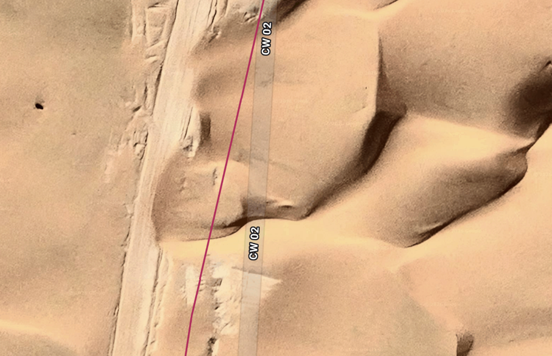
Today a compacted track has been laid across the sands directly south of Bordj Omar Driss towards Gara Khanfoussa (below). This new route is also on OSM maps and is labelled CW2/CP2. It passes east of the hill then turns to meet the old A2 route at a rejuvenated Hassi Tabelbalet well. Cantone came up this way in April 2024 in windy conditions and had a good look around Gara Khan before continuinh north to BoD.
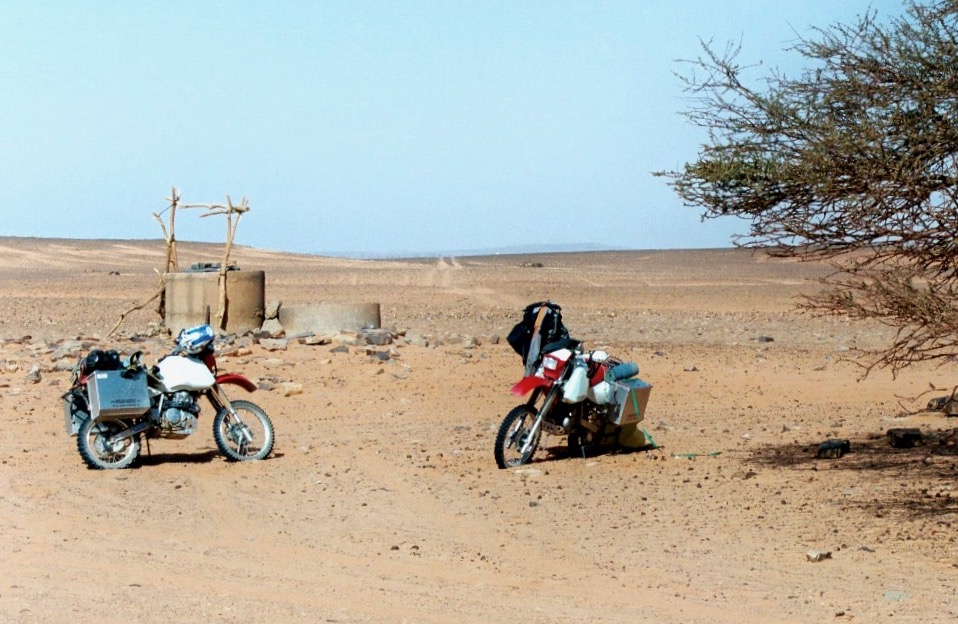
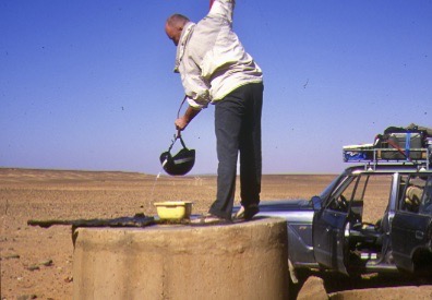
Ain el Hadjadj well (below right, 2003) is now an army base, and the tricky dune crossing at KM330 (left) has also been graded and stabilised just to the north of the old crossing.
I do wonder how you lay a track over dunes that’s strong enough to support trucks. Maybe a metre of rocky rubble does the job? But even then, as shown in the satellite screen grab below, as all over the Sahara, dunes will eventually creep back over the track, requiring regular clearing.
At this point the route gets renamed ‘CW2’, and the last 100km east to Illizi are sealed, making the distance now just 330km, fuel to fuel and doable in a day. You won’t see all the route on Google; it’s clearer on ESRI sat platforms, like Apple Maps or Bing.
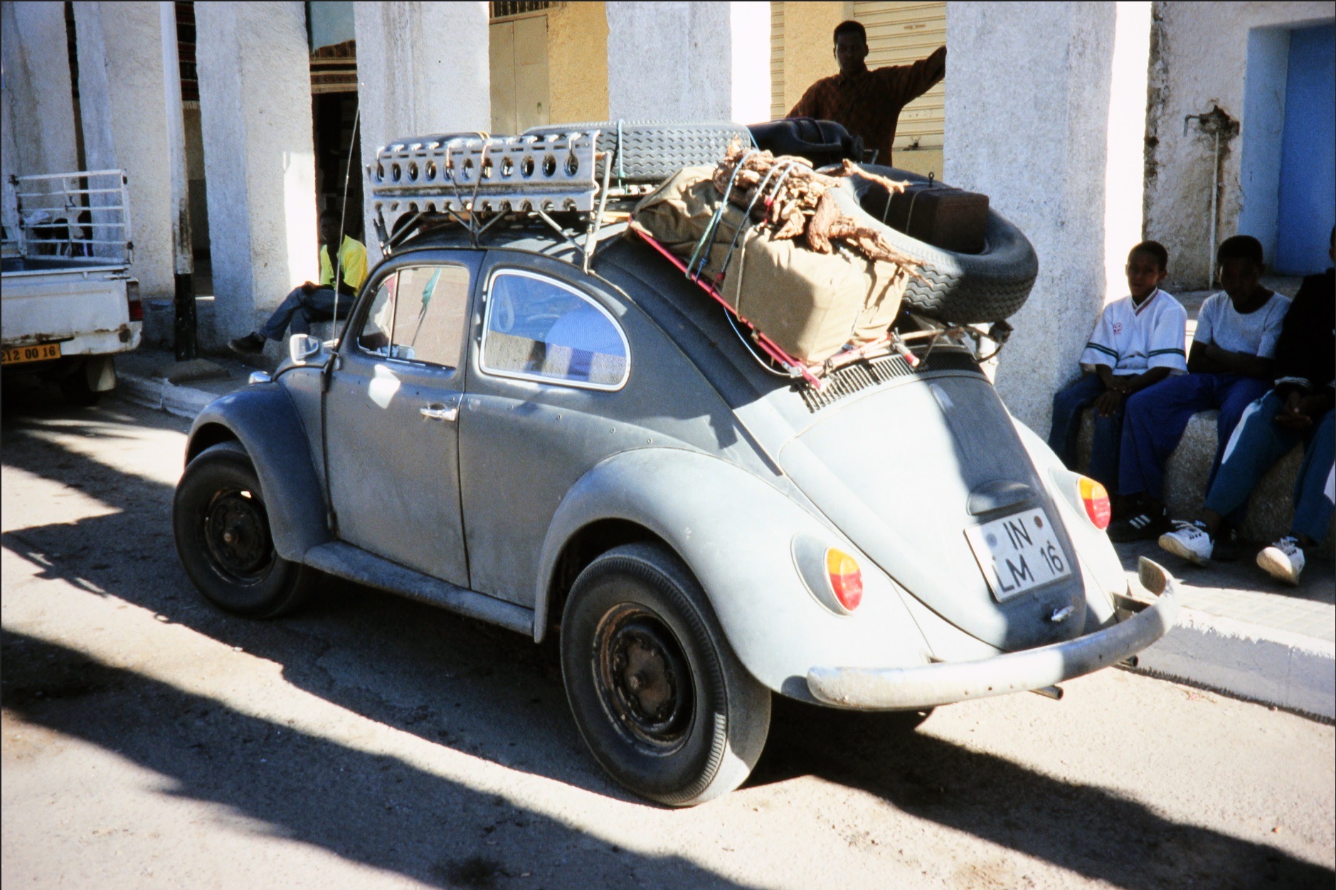
In 2026 a group of intrepid, escort-dodging Polish riders managed to be, afailk, the first party in years to follow A2 from BoD to Illizi, which has been off limits to tourists since the kidnappings (depending on which agency you ask). The old and new routes join near Tabelbelet well where in 1990 we met a jacked-up VW Beetle (left) that had come across the Khanfoussa crossing just ahead of us.
You can view the Polish riders’ raw gpx with photos on Wikilocs and read about their ride and a whole lot more here.