Morocco Overland Maps has moved
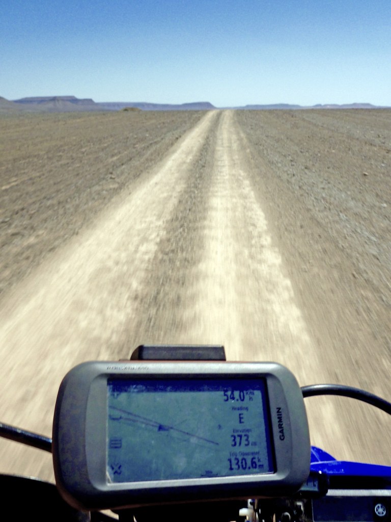
Getting routed: As the track was clearly visible, I traced the route I’m logging above (MW7) off Google Earth the previous evening (internet required), saved and exported the kml then imported it (as a gpx) into my Montana via BaseCamp. This was pushing the outer limits of my tech ability with this sort of stuff.
GPS digital maps not really needed as I had the largely accurate self-drawn tracklog on the screen to follow, while recording my own live tracklog. Years later I used this same system (pre-trace route off Google Earth) again while logging MH23. The great thing with satellite is WYS is usually WYG, whereas with maps (paper or digi) WYS can be nothing at all.
Discover more from Sahara Overland
Subscribe to get the latest posts sent to your email.

Pingback: Maps of the Sahara | Sahara Overland
Pingback: High Atlas recce | Sahara Overland
Pingback: Morocco ~ Routes | Sahara Overland
Pingback: Map review: Reise Know-How Morocco 1:1m (2023) | Sahara Overland
Pingback: Michelin 742 Morocco (2024) map review | Sahara Overland