
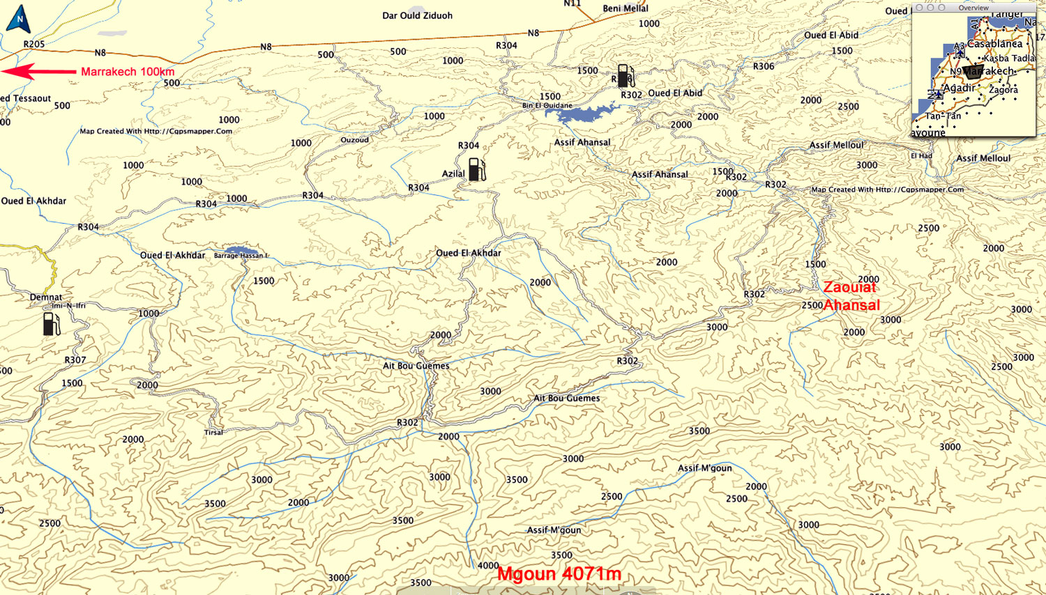
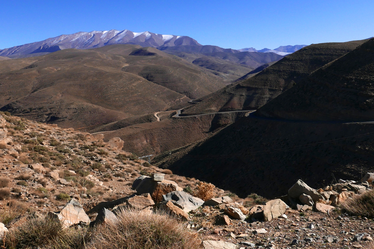
After my 2015 one-week tours, on the suggestion of a Morocco Overland reader, I rode over to have a look around the Mgoun area of the High Atlas, about 150-km east of Marrakech. The better known Jebel Toubkal is only 65km directly south of Marrakech; Mgoun makes up the other big massif of the High Atlas, with the 4071-metre high point on the ridge only 100m less than Toubkal.
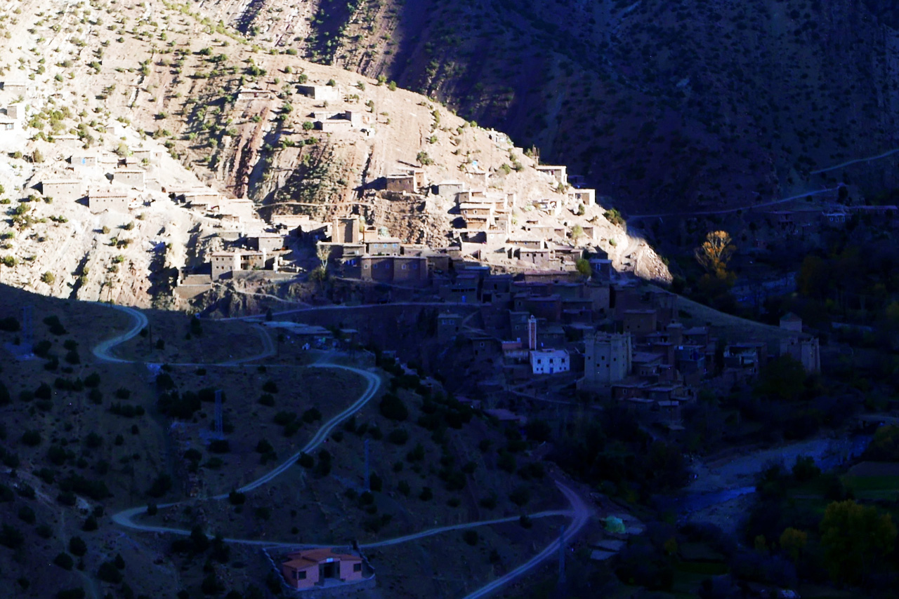
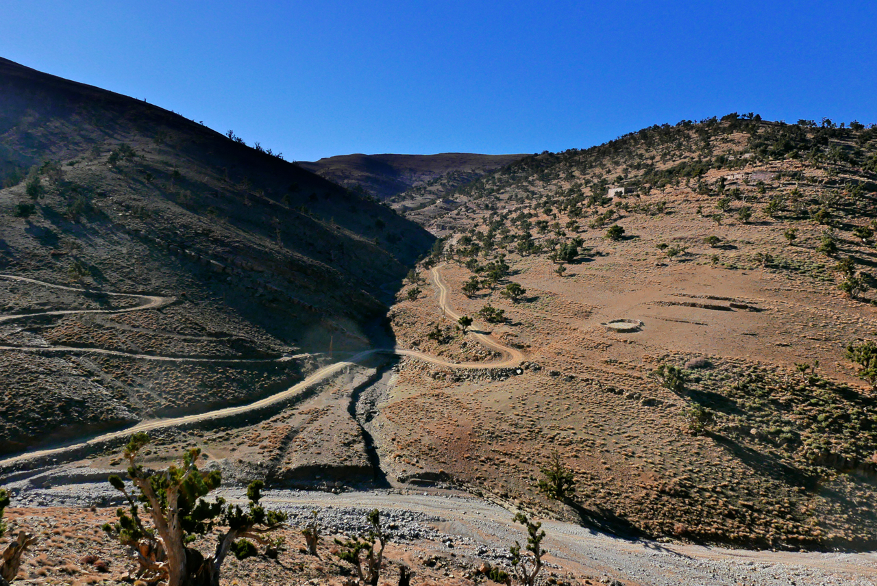
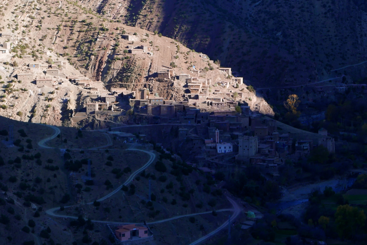
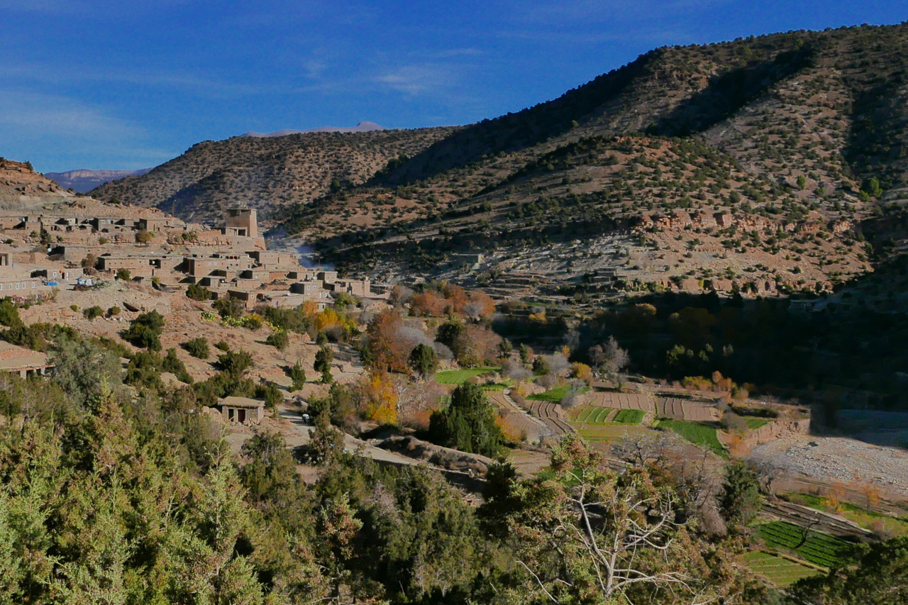
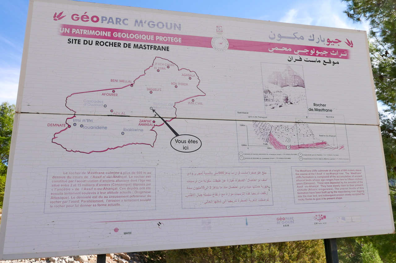
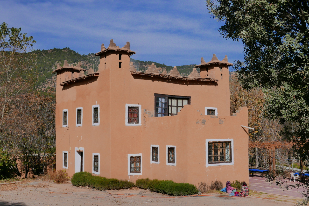
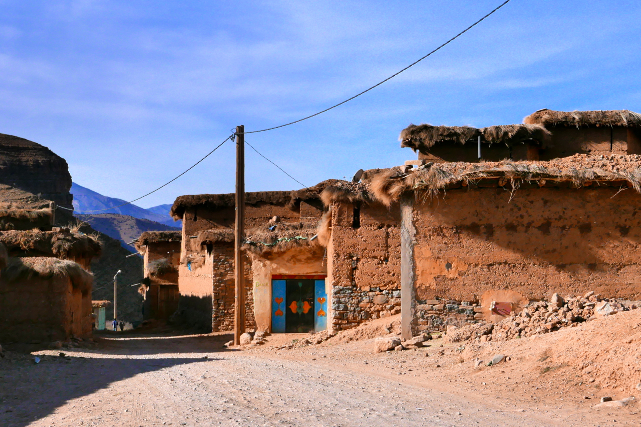
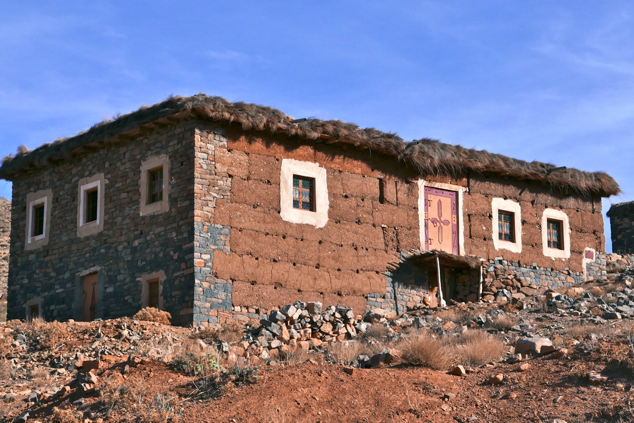
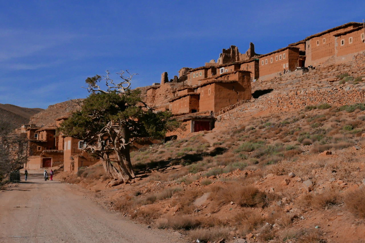
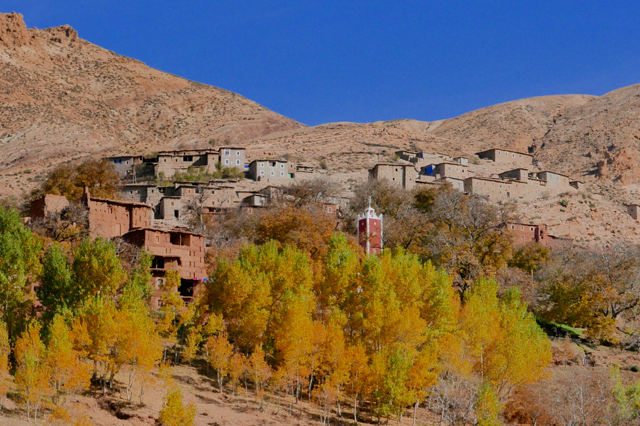
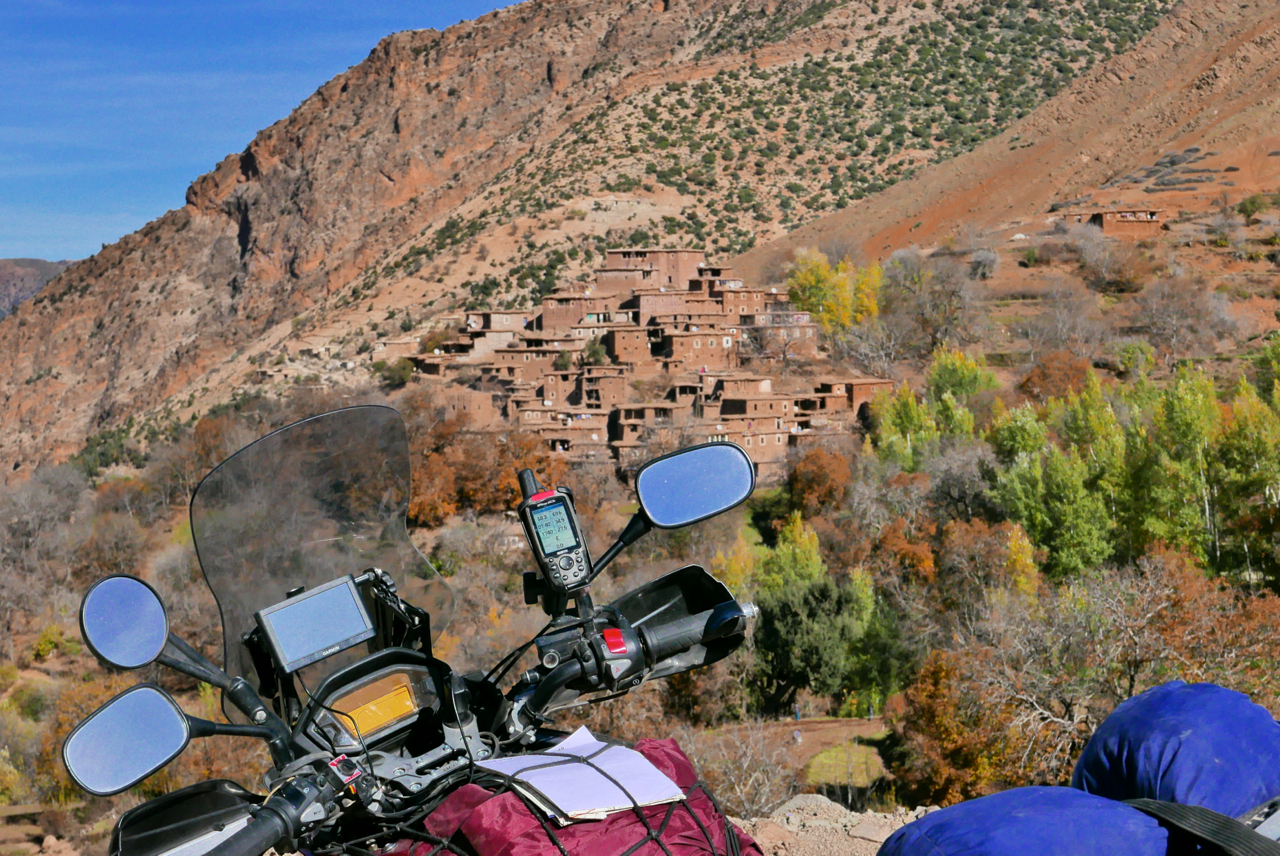
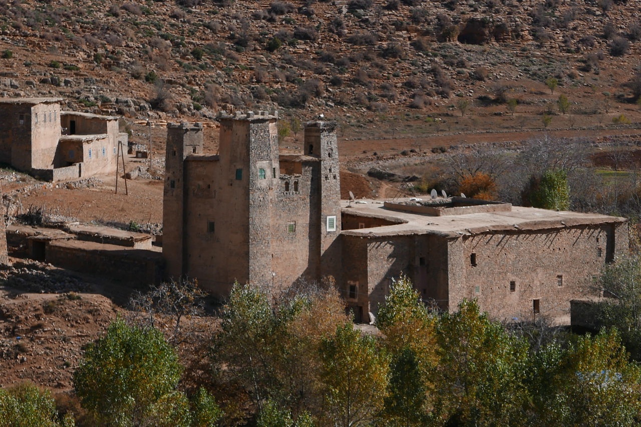
I spent a couple of days based near the hamlet of Zaouiat Ahansal (left), joining up the dots visible on the Olaf map (below), or whatever I found. Tucked up the head of the valley, as the same suggests, the Berber settlement of Ahansal is the site of a religious institution – or Zaouiat – founded back in the 13th century.
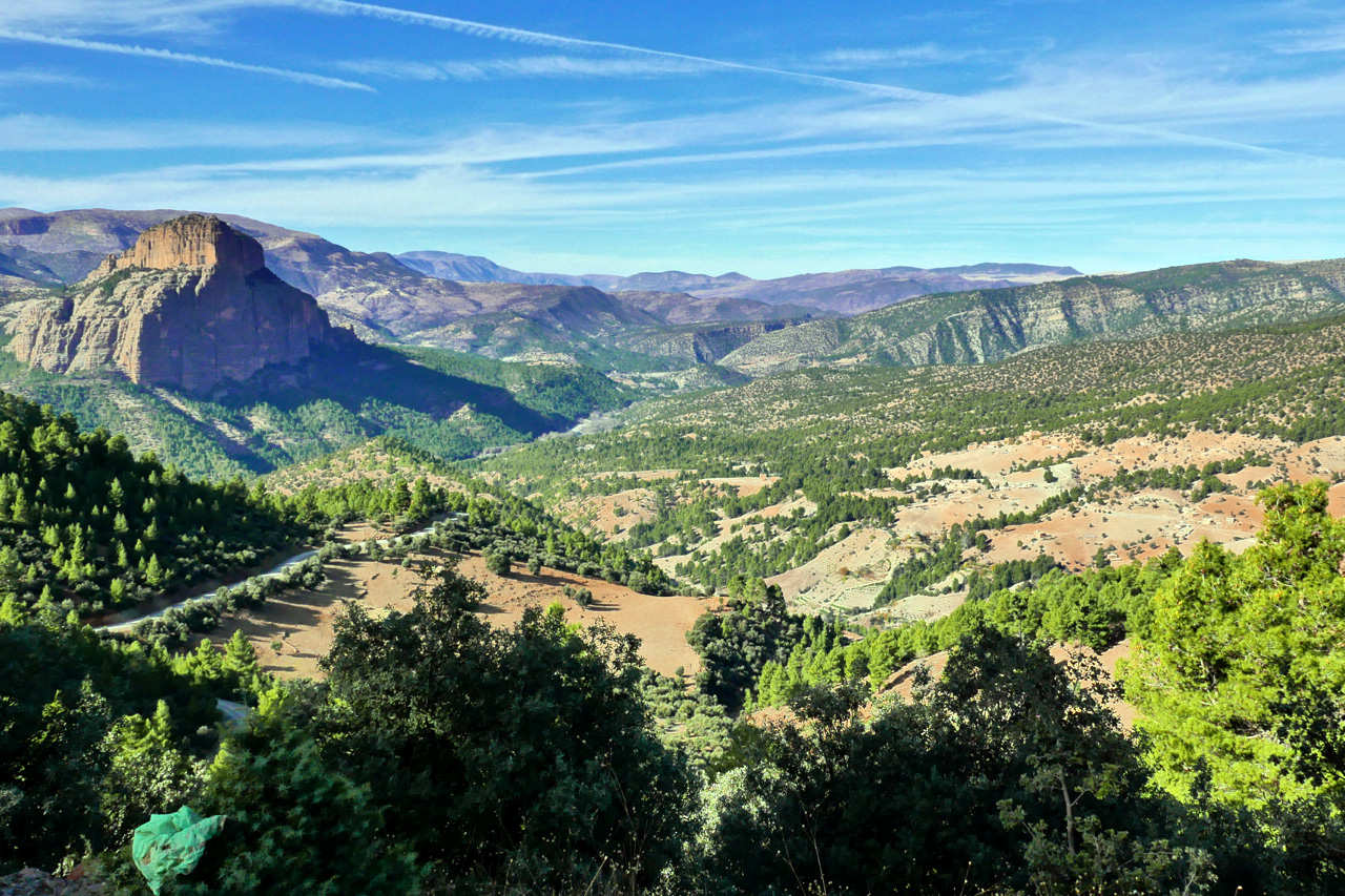
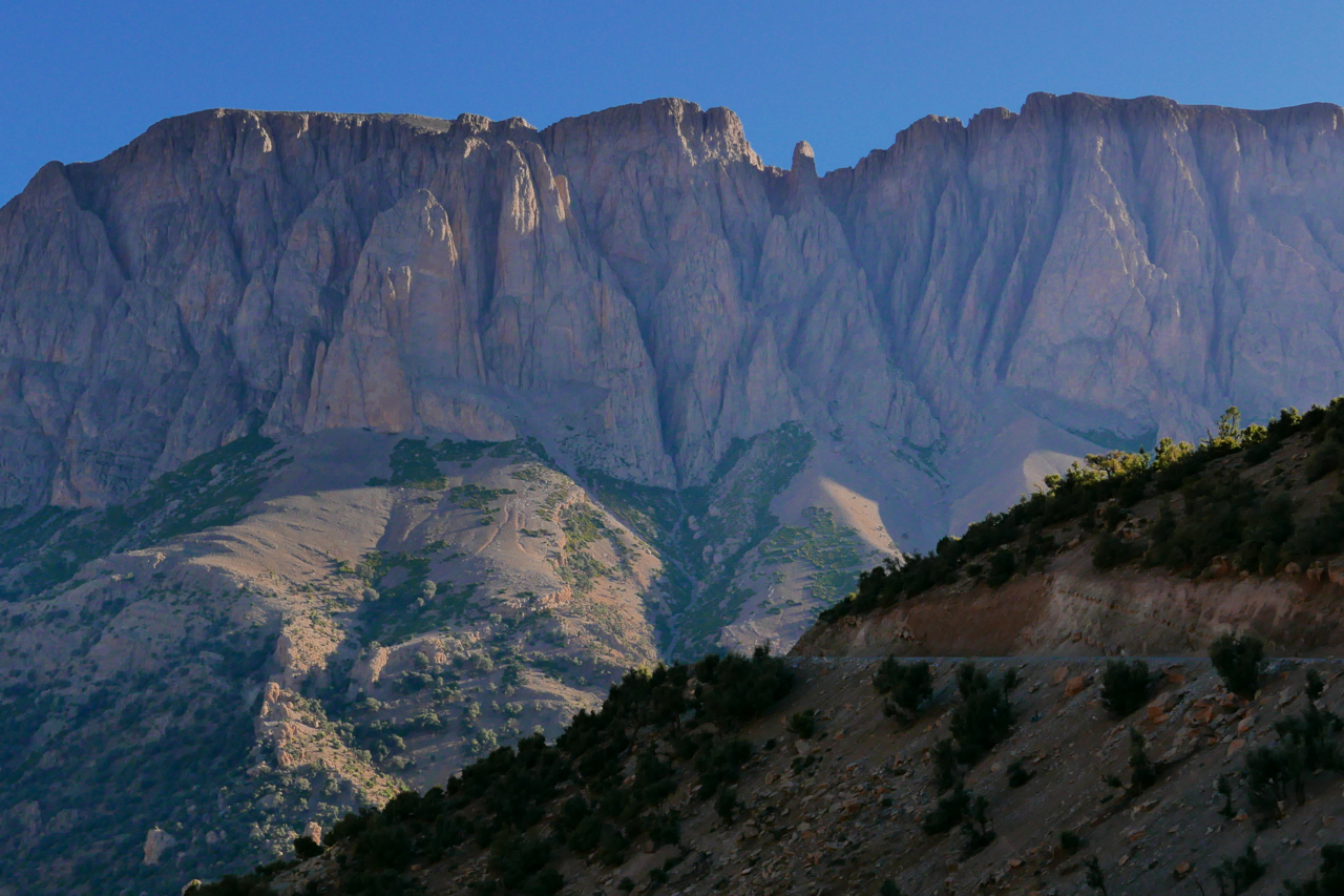
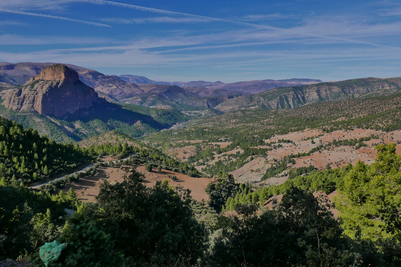
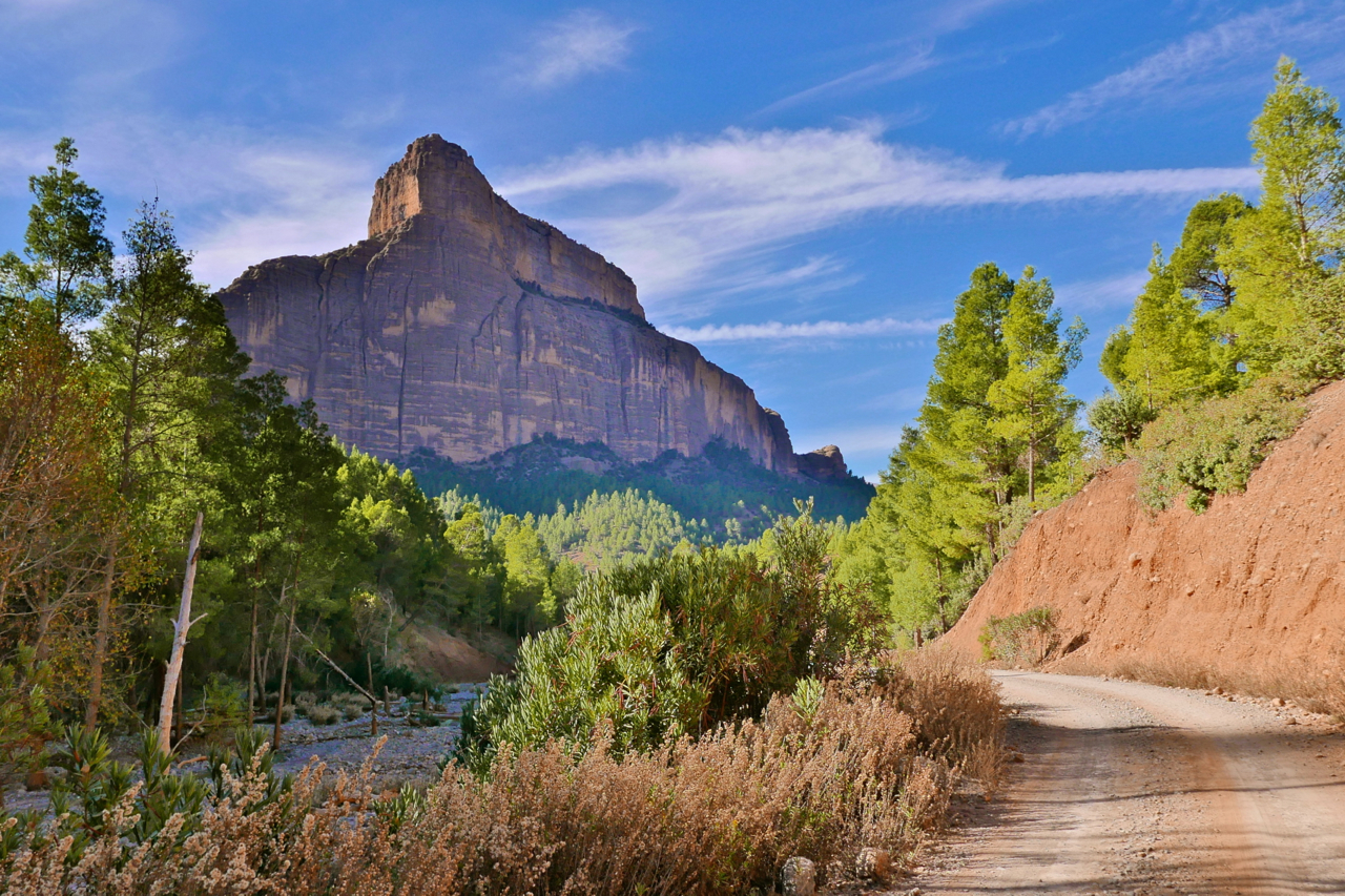
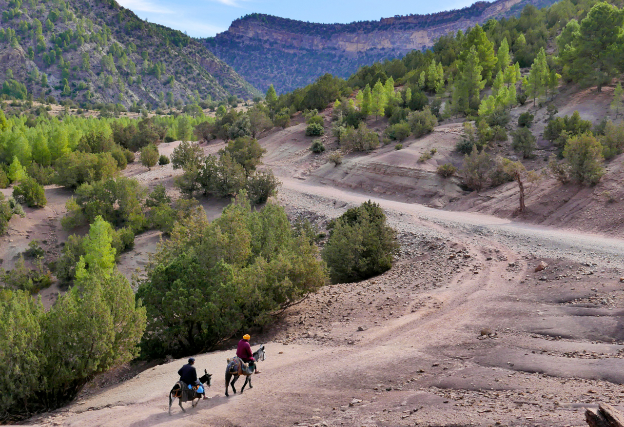
In the area is the famous Cathedral crag (left) well-known to rock climbers, and from where intrepid piste-bashers have sought links east to Imilchil or south over the Atlas to the Dades valley.
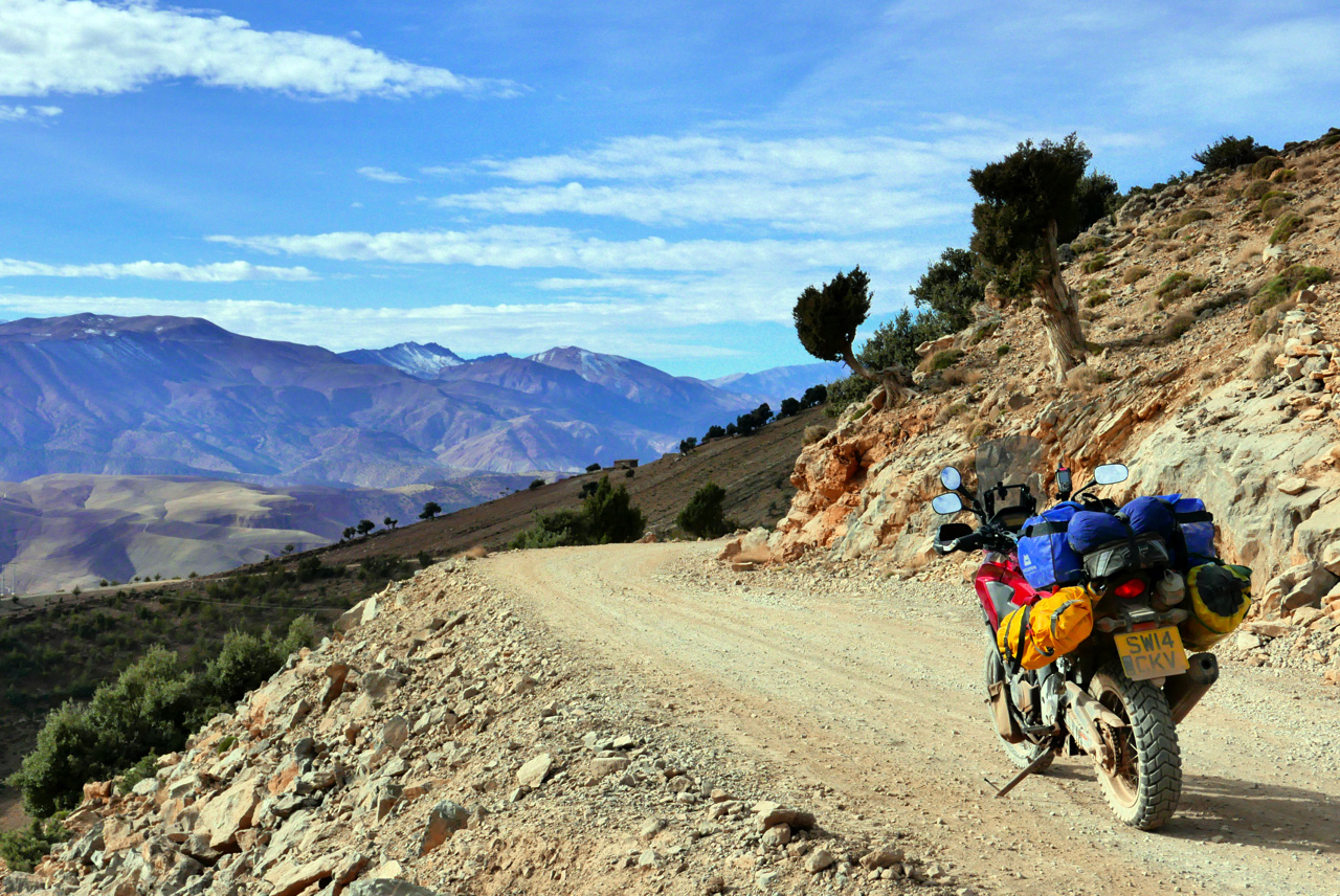
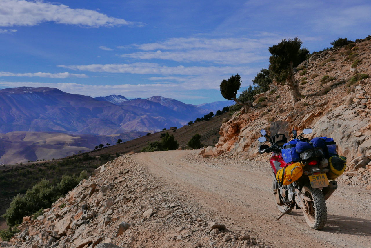
As usual with Olaf, some tracks have been sealed, some have been abandoned and found new routes, and some were never really passable with anything more than a donkey on stilts. And even with my bike’s potential 500-km range and backroad-and-piste speeds, I still had to make use of the fuel stops indicated on the map below.
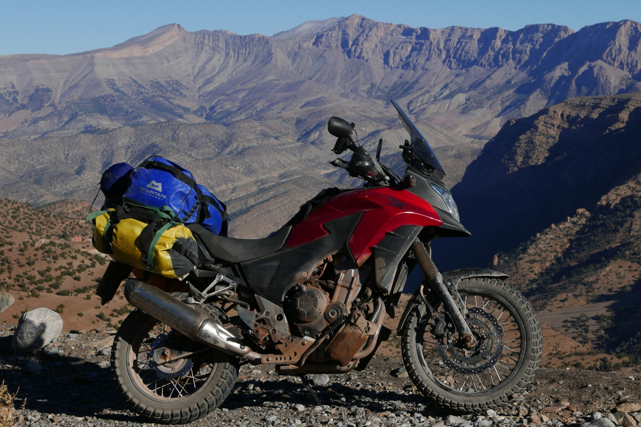
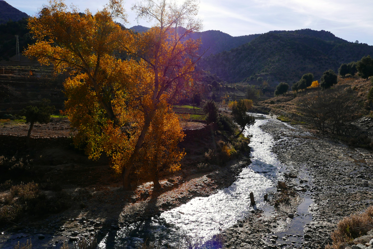
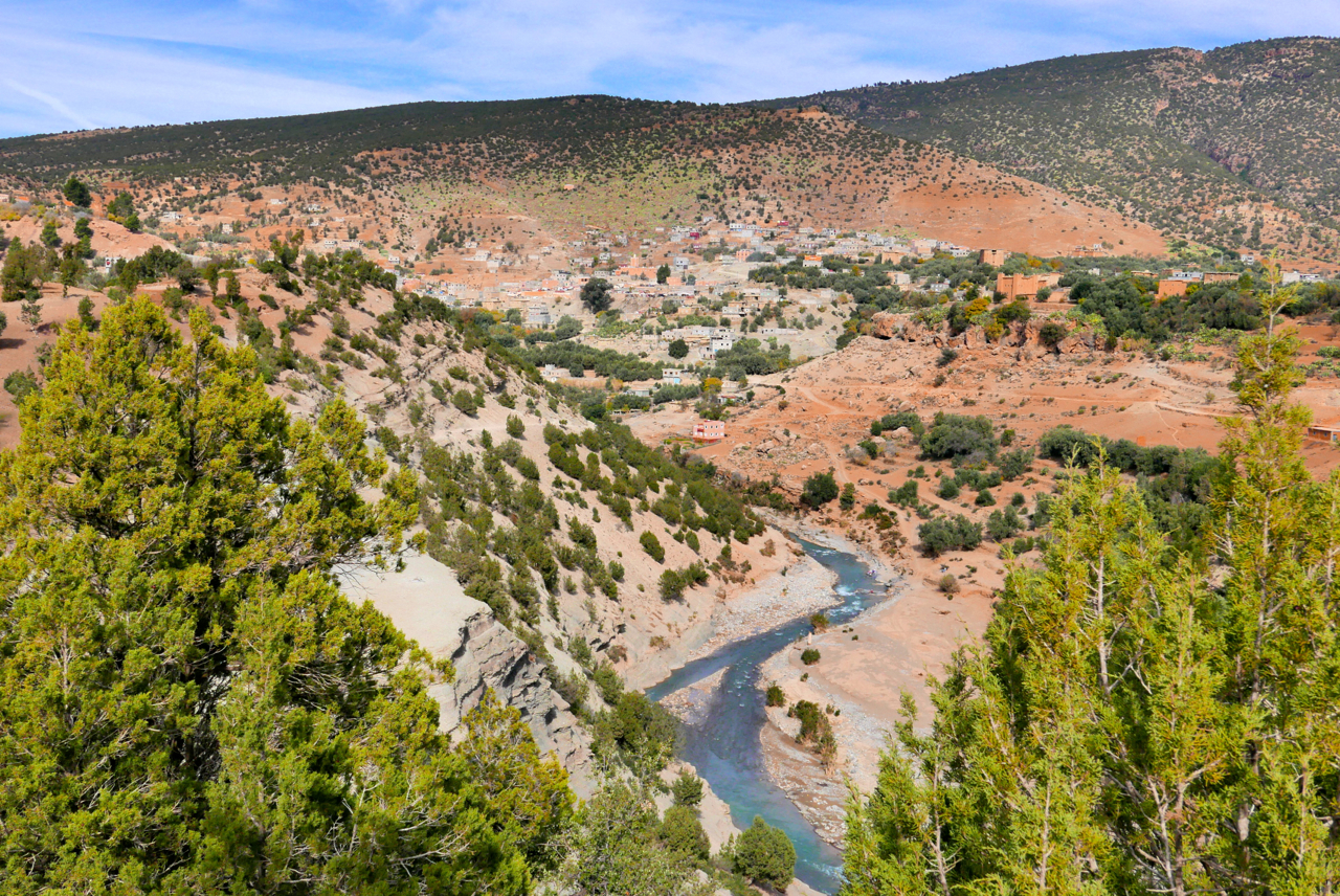
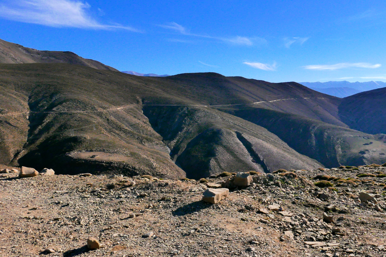
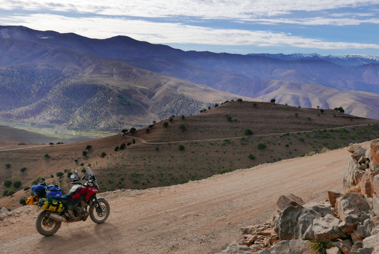
Amazingly, the weather continued to hold out with bright sunshine, but as soon as you ride into the shadows temperatures dropped. The roads and tracks got up to 2700-metres of 9000 feet and revealed yet another one of Morocco’s incredible diverse landscapes.
Discover more from Sahara Overland
Subscribe to get the latest posts sent to your email.
