Updated January 2024
Now only 2 + 10km of piste remains, but plenty of gravel and broken tar
In 2017 Moroccan road builders completed a new High Atlas crossing. I heard about it too late to describe fully in the 2017 edition, although it is mapped on page 110.
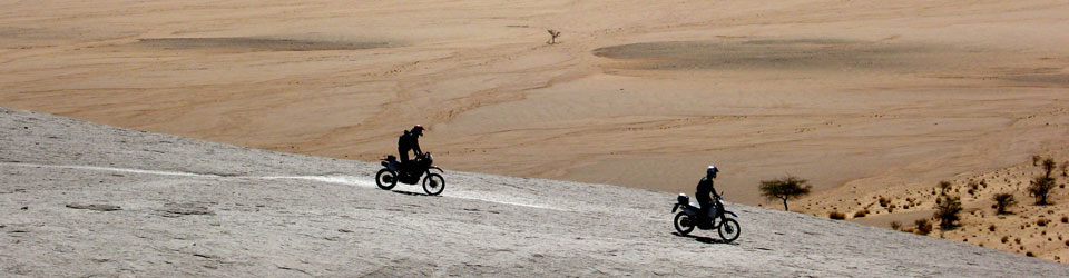
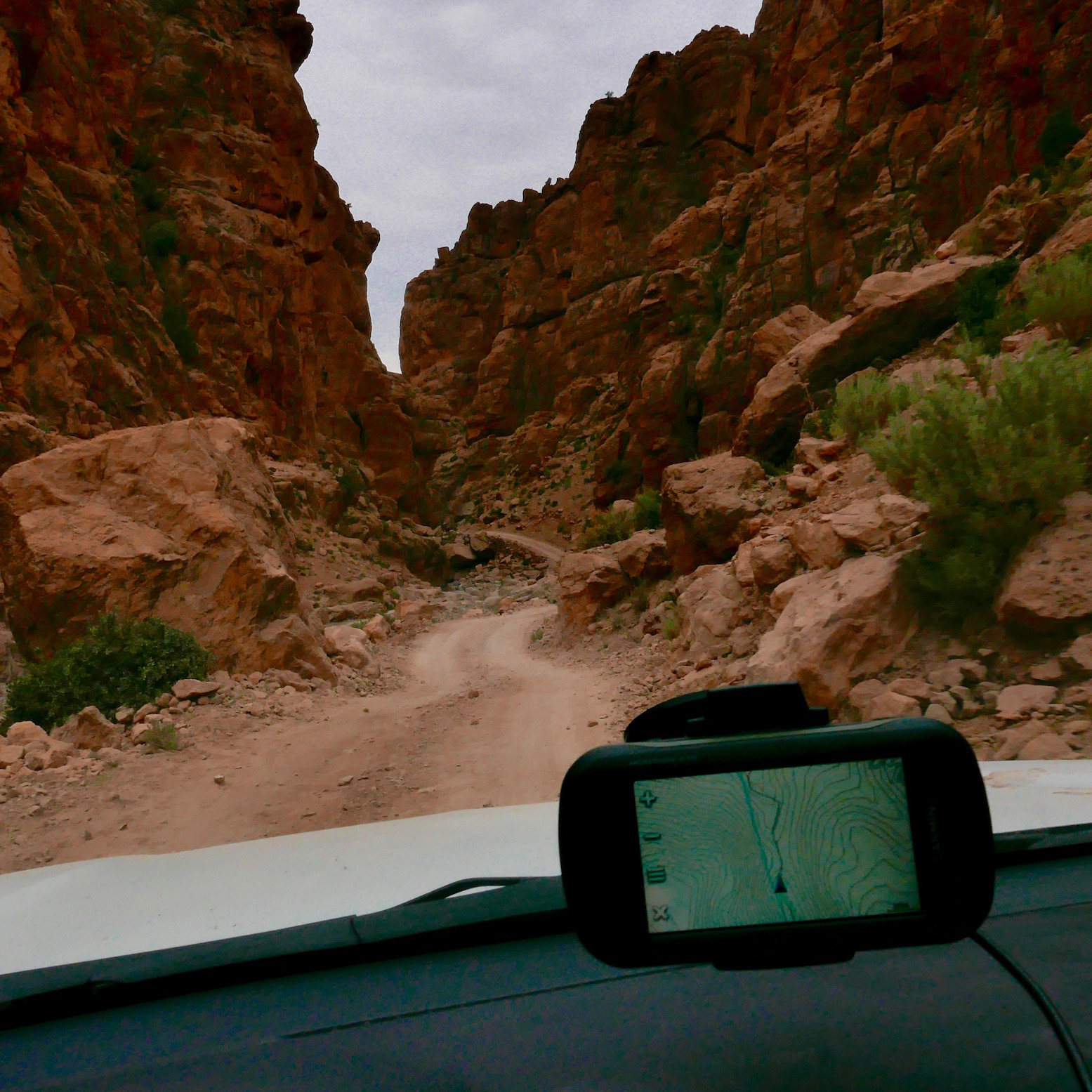
I got to ride the route on a 250 just as the book was published in October 2017, and again about a month later southbound in a 4×4. Now it’s a straightforward drive once you find the start points, doable without much of a description or GPS.
Northbound, all you need to know is:
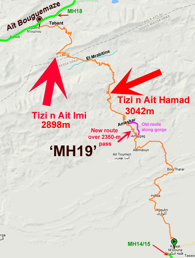
1. Pass through Alemdoun village and stay on the tarmac and first right over the first pass. Southbound, just east of Tabant turn right (south) over the ford for the easy 17-km climb to the Ait Imi pass.
Fuel
Aït Bouguemaze end, the nearest fuel is either Azilal, 79km to the north via MH17 – a fabulous drop from the pine forests. Or stay on MH18 west to Demnate; 83km – about 90 mins of near-constant bends. Also ‘Ouaoui‘ further north via the Cathedral cliff. You can also buy fuel by the litre from shops in Alemdoun and Tabant and other small towns.
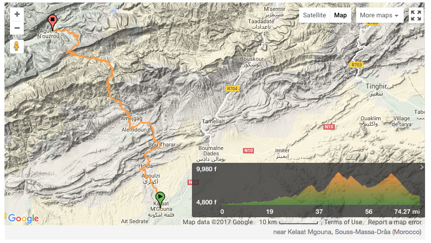
One time at Amelgag we chose the gorge route (right) instead of the climb over the pass to Allemdoun, a great diversion (and the original route) which is still used by local Merc taxivans. Coming north, turn off right at the bend as you enter Amejgag village and wind your way north through the village to the gorge.
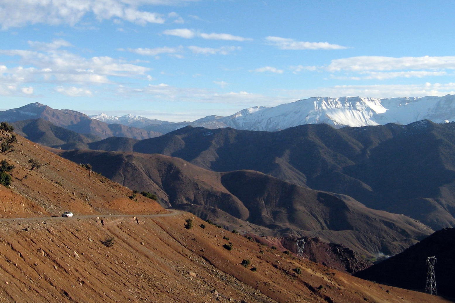
The sealed route takes you up over a 2350-m ‘Amejgag Pass‘ (KM50) before dropping down to Ameskar and joining the gorge route (KM56). Now the steep climb begins to the 3042-metre Tizi n’Ait Hamad (~KM65). From the top of this pass (left; telecom tower; bloke in a hut) Jebel Mgoun summit (4071m; second only to Toubkal) is a 16km walk to the west.

You descend from the Ait Hamad (above), climb an intermediate pass then descend into the valley of the Mgoun river, bypassing some remote villages around El Mrabitine. Cross the Mgoun stream (KM83) and climb less steeply on dirt for 10km to the Tizi n’Aït Imi (2898m; ~KM98). At the top Aït Bouguemaze valley lies 20km below.
Busy Tabant village (KM117) has shops and basic bap cafes before you join MH18 (if heading west). As the whole area is popular with trekkers, there are several auberges hereabouts.
