See also:
Mauritania Page
Tindouf Piste to Algeria
Gallery (Dec 2025)
Nearly 20 years after I last drove it, Mauritania’s 400-km Railway Piste is becoming an Overlander’s Thing. If nothing else it remains a short-cut from the coast to the interesting Adrar highlands east of Atar and is of course a desert adventure in itself. The alternative is twice the road distance via Nouakchott by which time people lose interest in Mauritania and carry on down to Dakar. There is now an asphalt short-cut via Benichab saving 200km (see map below). If the Railway Piste is your first spell on Saharan sands, it can be a drop in the deep end, especially for heavily laden motos.
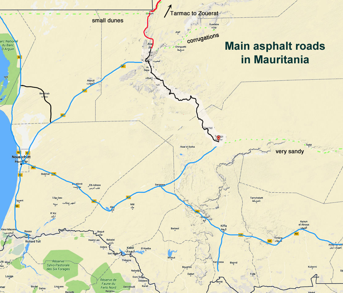
While navigation in either direction is straightforward with the rail track either in sight or never far to the north, it can still be hard work as you cross the successive cordons of the Anezal dunes in the east before you reach the road at Choum, 400km east of Bou Lanouar, and 115km north of Atar. Note the easiest way to access the piste from the west end is off the N2 about 10km southeast of Bou Lanouar.
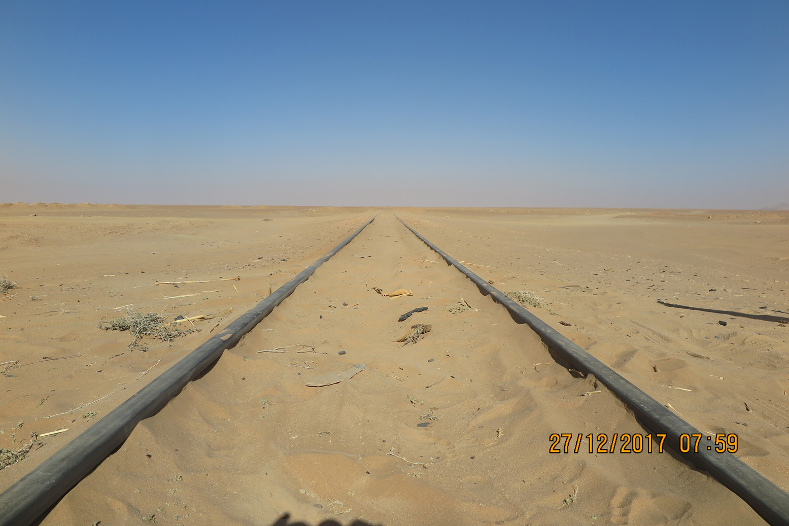
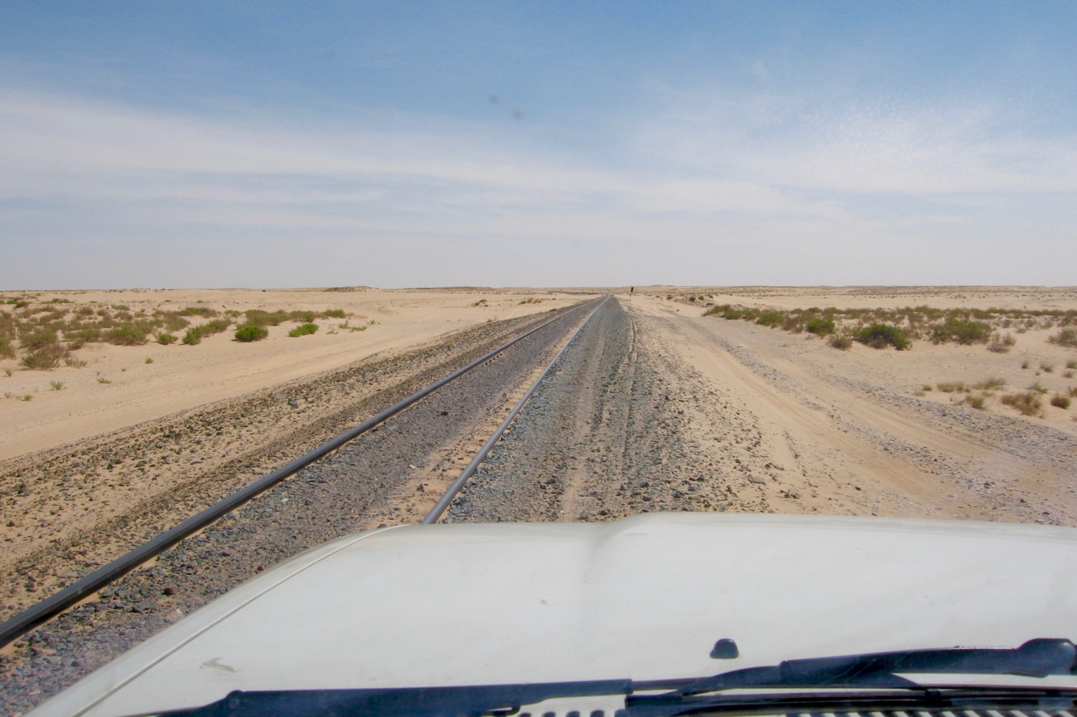
Some say the terrain gets easier further south from the tracks, but there’s no way of dodging the long bands of dunes in the east. They are mostly low, rolling mounds, not full-on crested dunes, but the soft sand, occasional drop-offs, ruts and heat will work you and your engine hard. In whatever direction, you just have to plough on, seeking out the easiest tracks or terrain. Riding a bike between the rails on sleepers doesn’t work as they’re buried in sand or thick rubble (below).
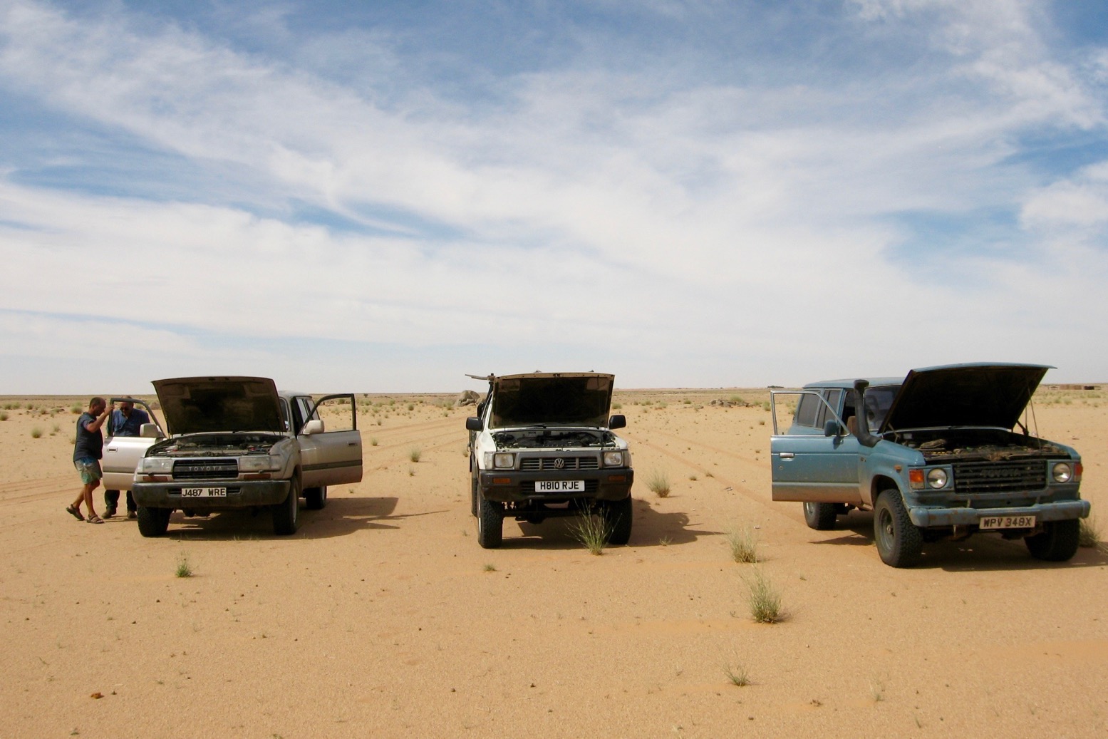
Alone on a moto this is quite a step if you’ve just cruised down the balmy Atlantic Highway through Morocco. It’s a lot hotter down here and riders have crashed or burned out and needed rescuing or escorting out. Even with the easy nav, think twice about tackling it alone on a heavy bike. You can buy drum fuel and water from the shantytowns alongside the track marked on the map above.
North of Ben Amira village (KM360), the granite monoliths of Ben Amira are well worth an excursion, though don’t stray too far north to the PFZ border. And don’t expect Choum to be any kind of Shangri-La, though there is fuel and an auberge here.
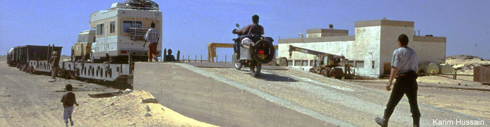
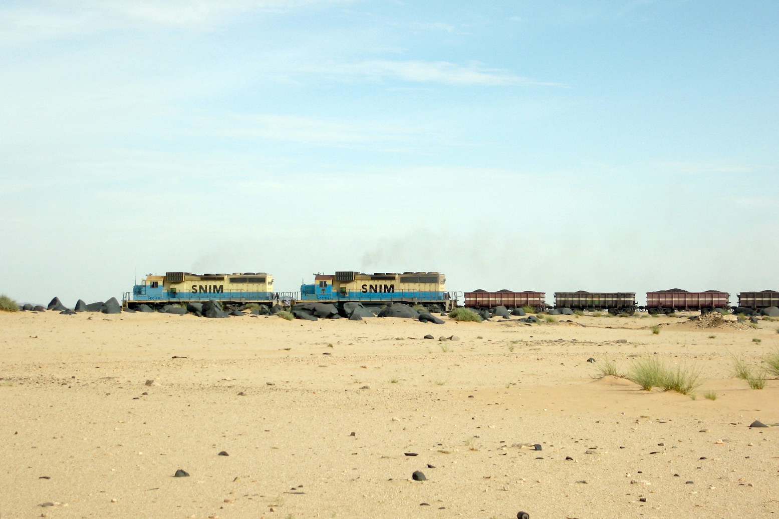
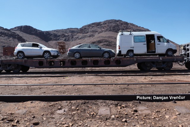
They say the ore train linking Nouadhibou port with the iron mines inland at Zouerat no longer off-loads vehicles at Choum, where it can stop for just a few minutes westbound when full. Motorbikes have been quickly manhandled on and off. Otherwise you might load or off-load a car at Zouerat (12–16hrs), even though asphalt now extends there from Choum. SNIM has no formal reservation system, booking website or even a station. There will be a yard at each end with a ramp.
Coming up from Atar and riding the loaded ore train as a passenger between Choum and Nouadhibou has also becoming popular with youtubers (below). You’ll find loads of self-agrandizing vids on social media. There’s even a backpackers’ guide to Mauritania now, as well as organised tours using rudimentary sleeper wagons, while the hardcore huddle on the mineral wagons for free, choking on iron ore dust. Bring a Covid mask.
Discover more from Sahara Overland
Subscribe to get the latest posts sent to your email.

On our current trip, we met some of the coal wagon drivers before the start and afterwards: black, tired, with broken sleeping bags and broken cameras.
No adventure and no achievement either, because once on the wagon, there’s no escape, just an exercise in survival.
But of course, to each his own ;-)
LikeLike
Pingback: A is for Atlantic Highway to Mauritania | Sahara Overland